
Highway 30 - James Island Expressway
S.C. 30 is 3.05 mile long highway connecting Downtown Charleston with James Island in the city of Charleston. The freeway portion represents the southern extent of the planned route of Interstate 526 (Mark Clark Expressway).
 East
East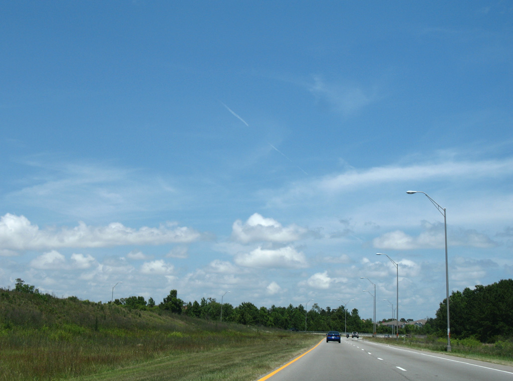
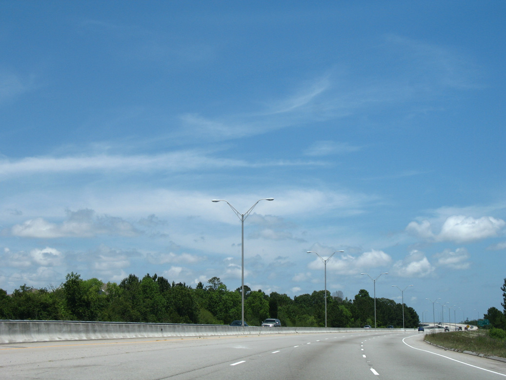
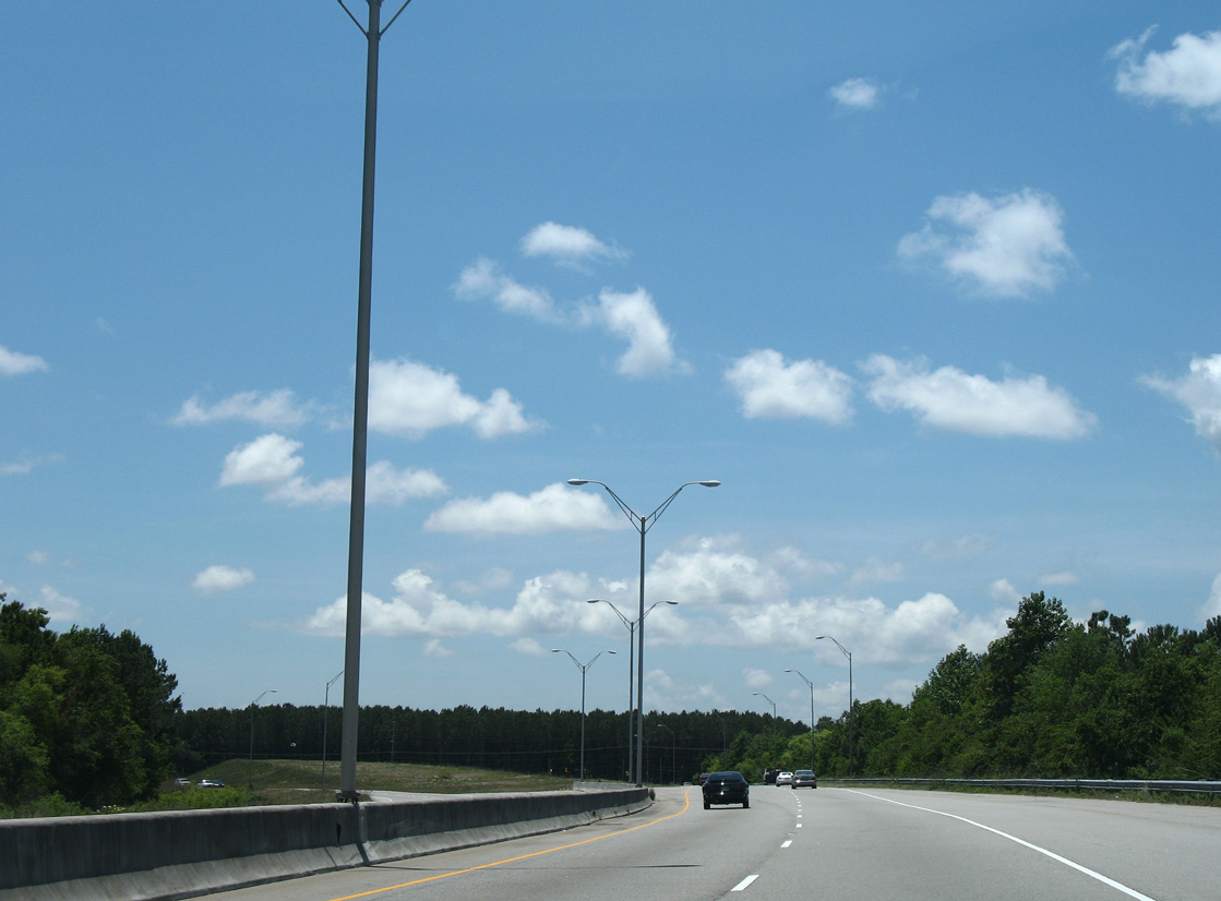
S.C. 30 begins along an on-ramp from S.C. 171 (Folly Road). Grading remains from the planned extension of I-526 east from the Stono River.
05/27/07
A roadway stub follows along S.C. 30 east for the unbuilt I-526 extension.
11/12/06
05/27/07
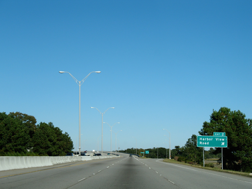
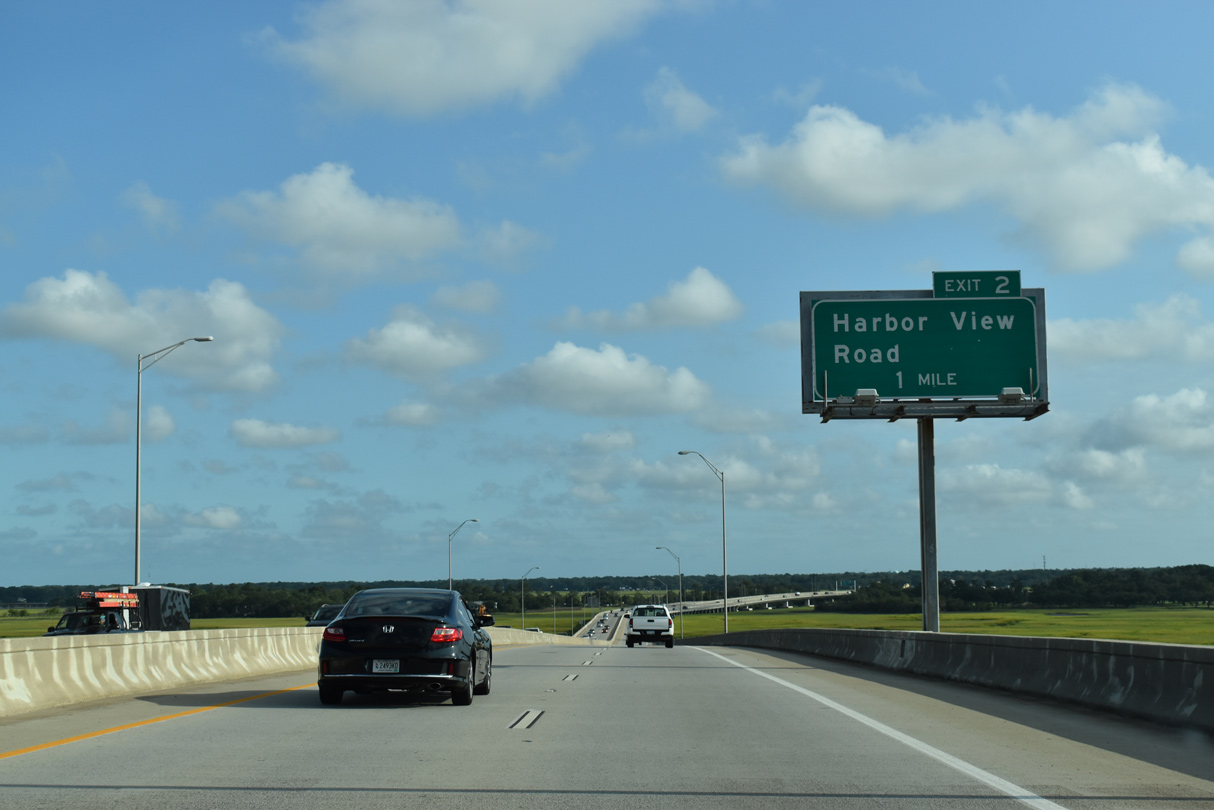
Harbor View Road stems east from S.C. 171 (Folly Road) to a parclo interchange (Exit 2) with the James Island Expressway. Harbor View Road continues east across James Island Creek to the Stiles Point neighborhood and Fort Johnson Road.
11/12/06
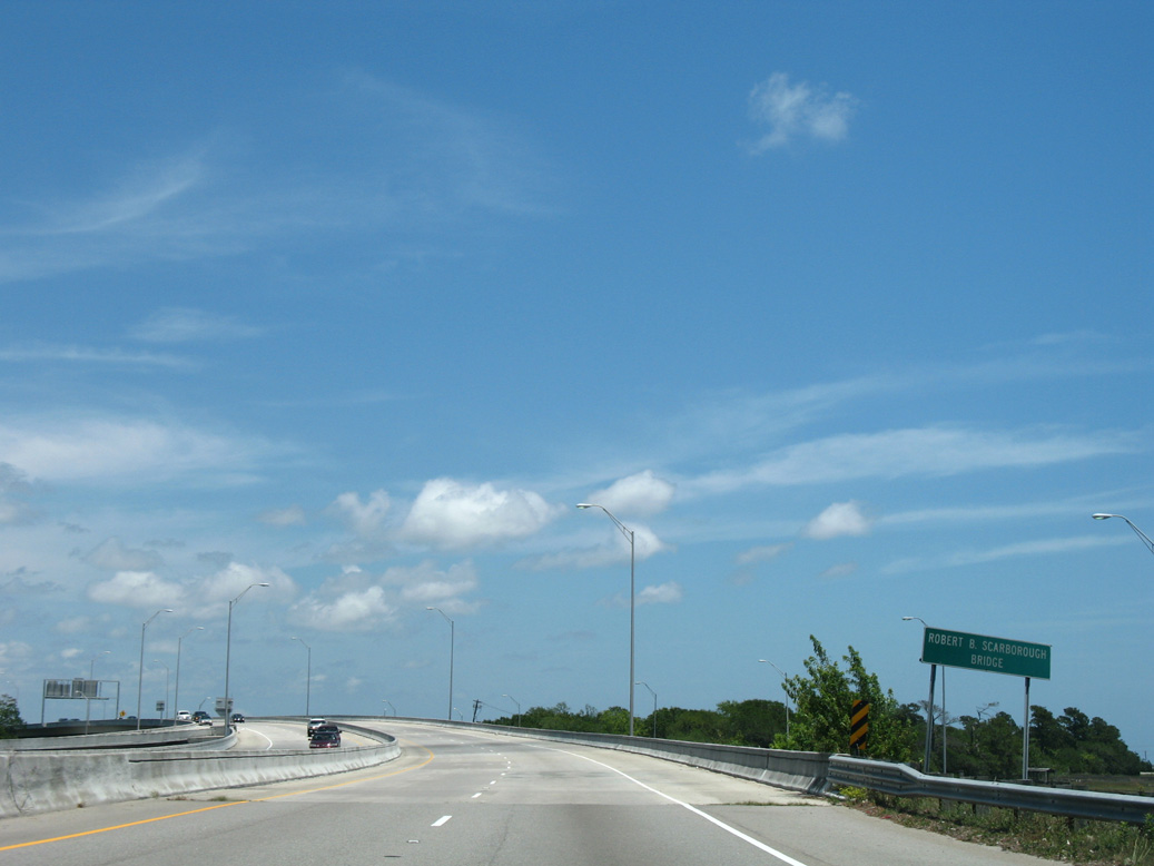
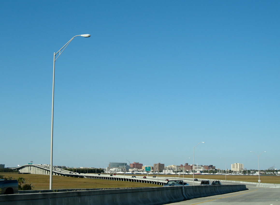
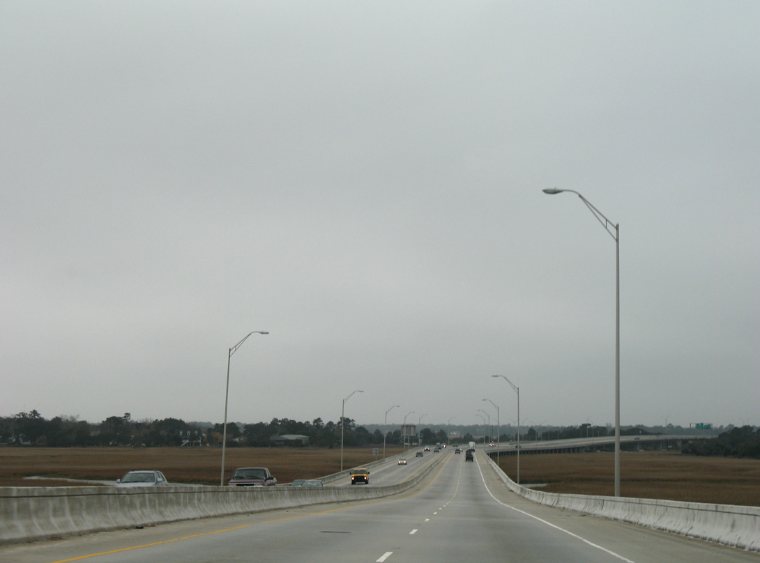
S.C. 30 elevates over marshland, Dill Creek, Wapoo Creek and the Ashley River north from Harbor View Road to Downtown Charleston along the Robert B. Scarborough Bridge.
05/27/07
The Robert B. Scarborough Bridge extends 11,297.5 feet with a maximum height of 65 feet across the Ashley River. The concrete span was completed in 1993 (Baughn, n.d.).
05/30/07
11/12/06
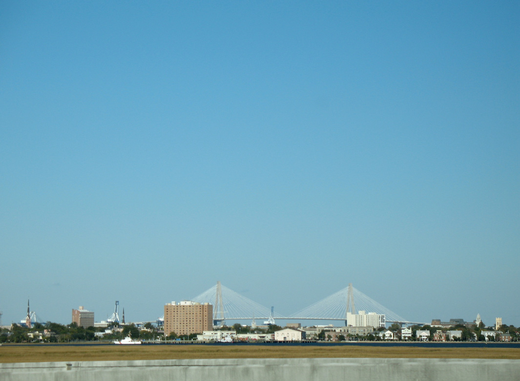
The Arthur Ravenel, Jr. Bridge rises beyond the Charleston skyline to the east.
11/12/06
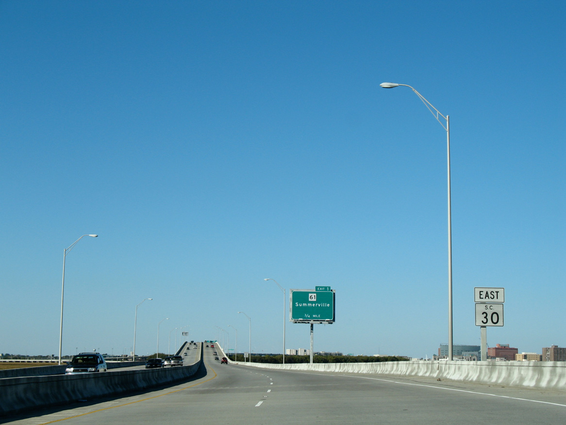
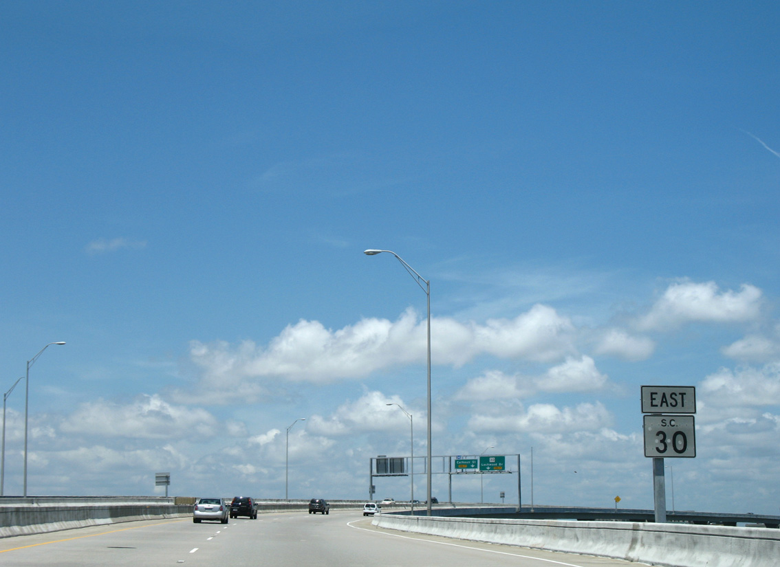
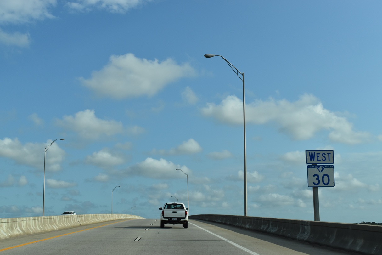
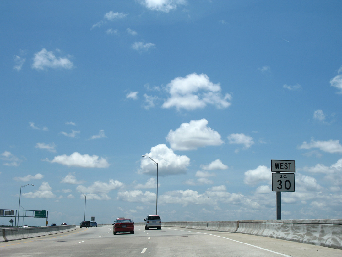
The first confirming marker for S.C. 30 appears along the James Island Expressway ahead of Wappoo Creek and S.C. 61.
11/12/06
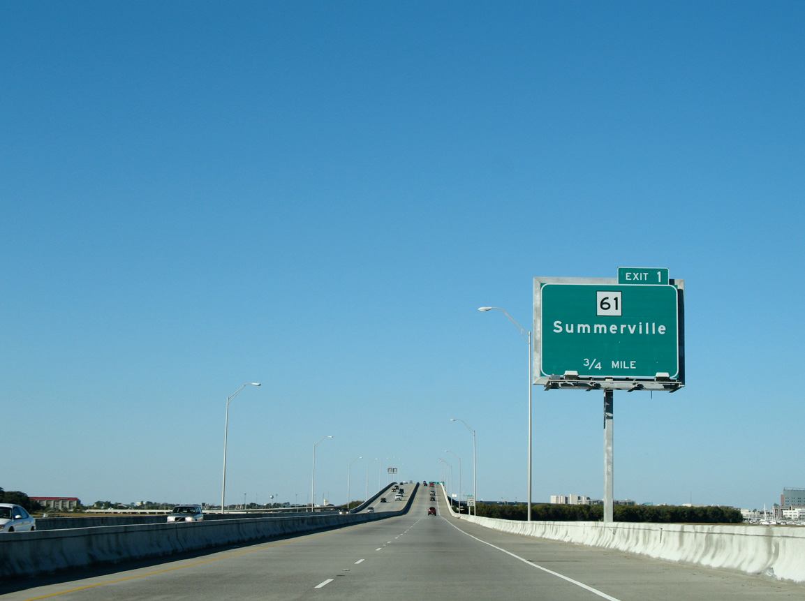
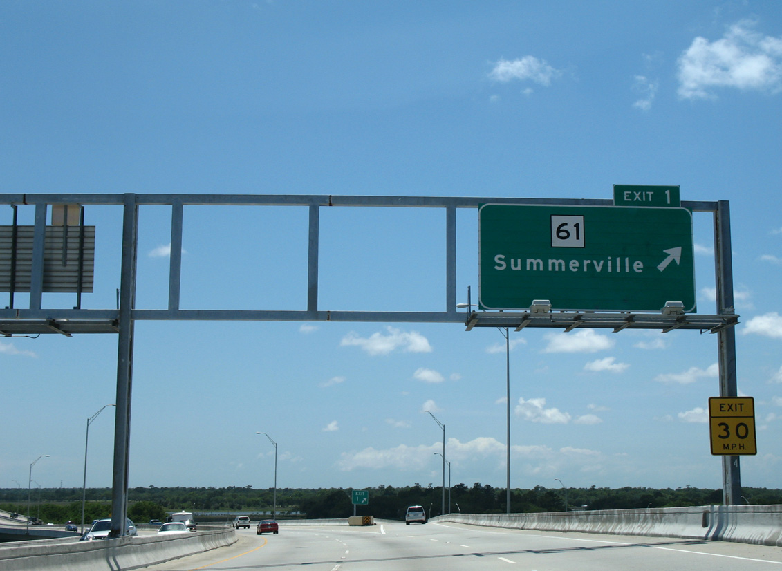
S.C. 61 commences a 67 mile route northwest to Summerville, Canadys and U.S. 78 near Branchville from S.C. 30 at forthcoming Exit 1.
11/12/06
Viewing Downtown Charleston from the bridge apex over the Wando River.
11/12/06
An elevated trumpet interchange connects S.C. 30 (James Island Expressway) with S.C. 61 (Herbert U. Fielding Connector) by Ablemarle Point along the Ashley River. Extending 0.98 miles northwest to St. Andrews Boulevard at Moreland, the S.C. 61 connector opened to traffic in 1996.
11/12/06
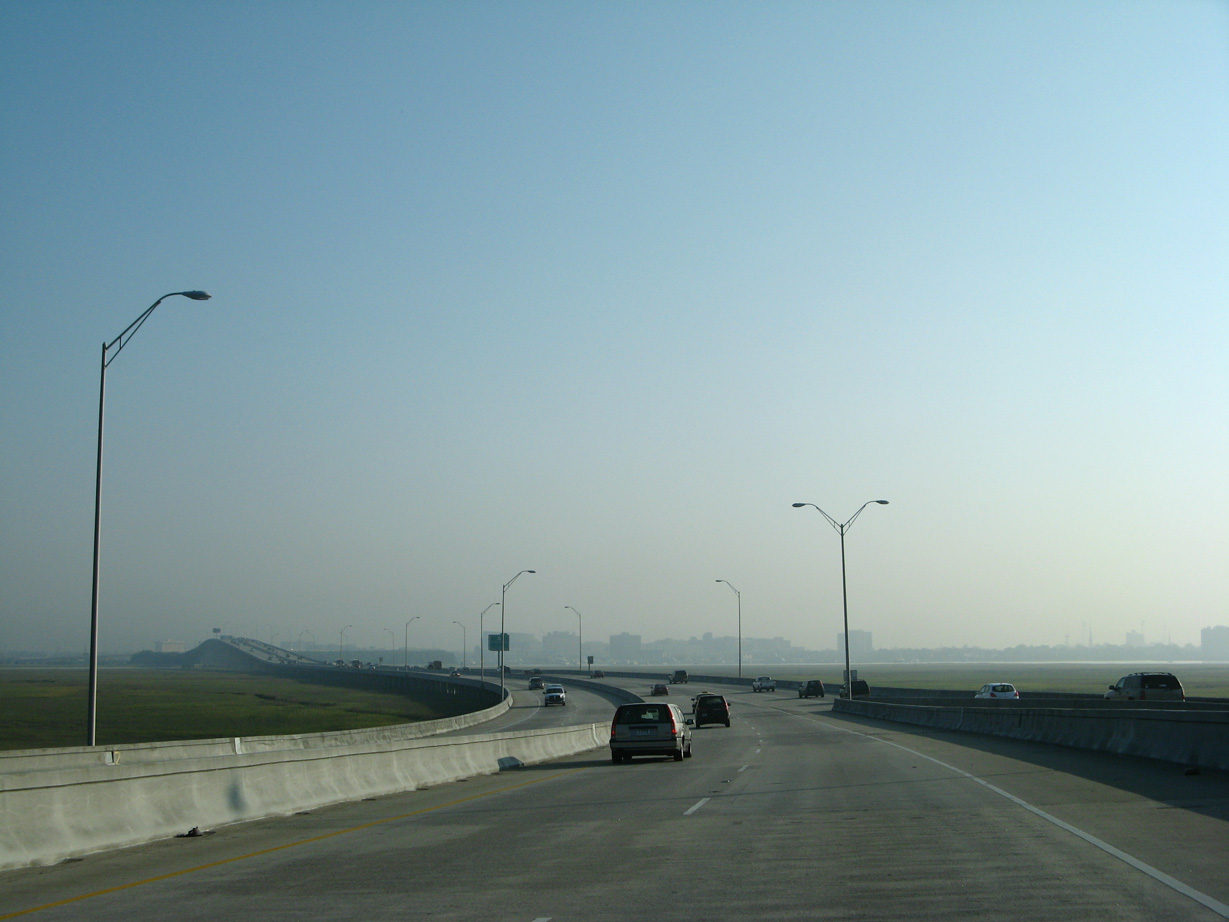
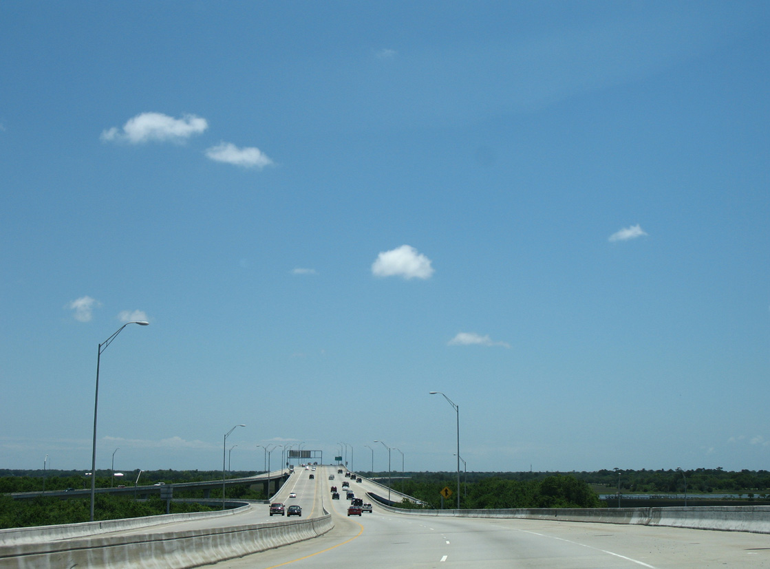
S.C. 30 arcs eastward across the Ashley River to the south side of Downtown Charleston.
05/27/07
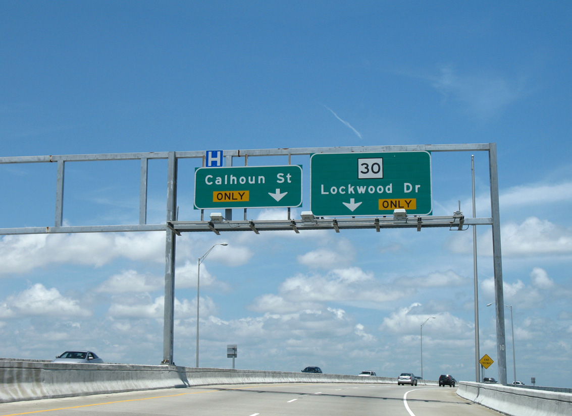
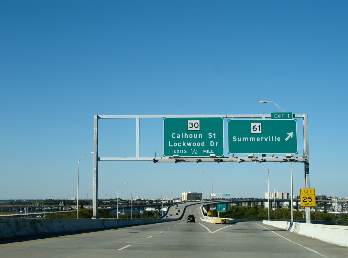
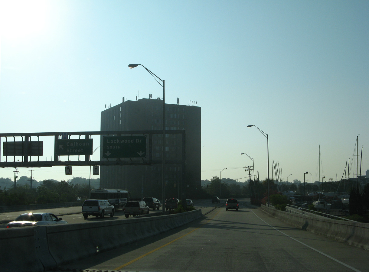
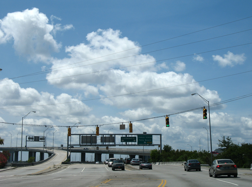
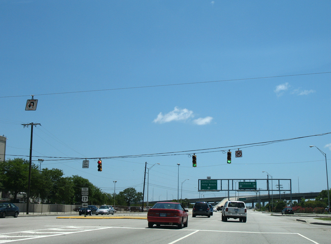
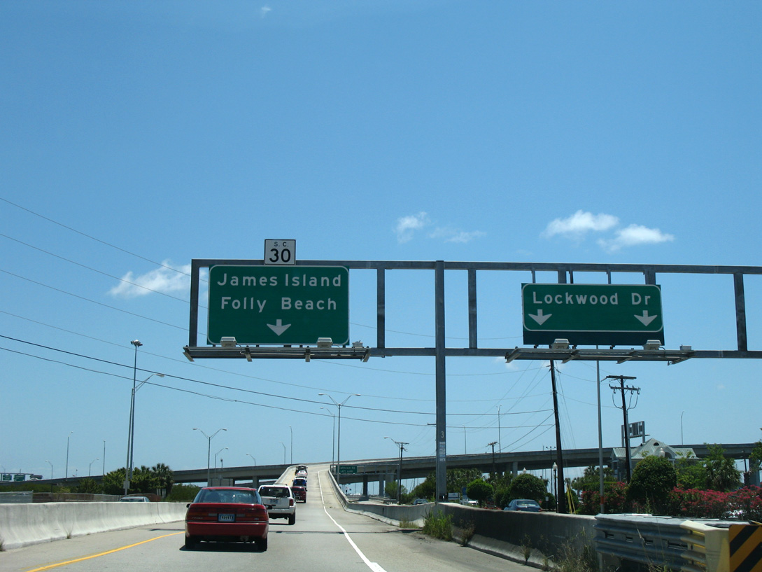
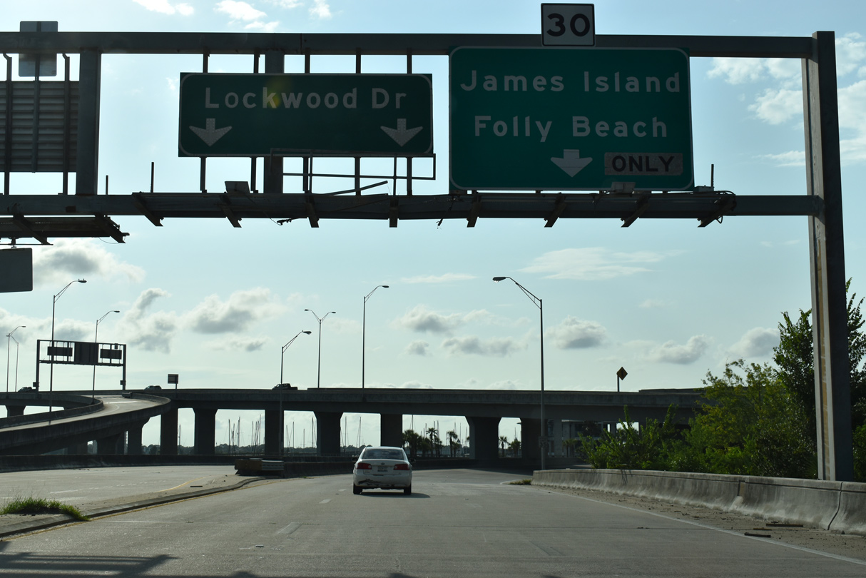
Traffic partitions at the east end of James Island Expressway to single lane ramps for Calhoun Street east and Lockwood Drive (S.C. 30) north and south.
05/27/07
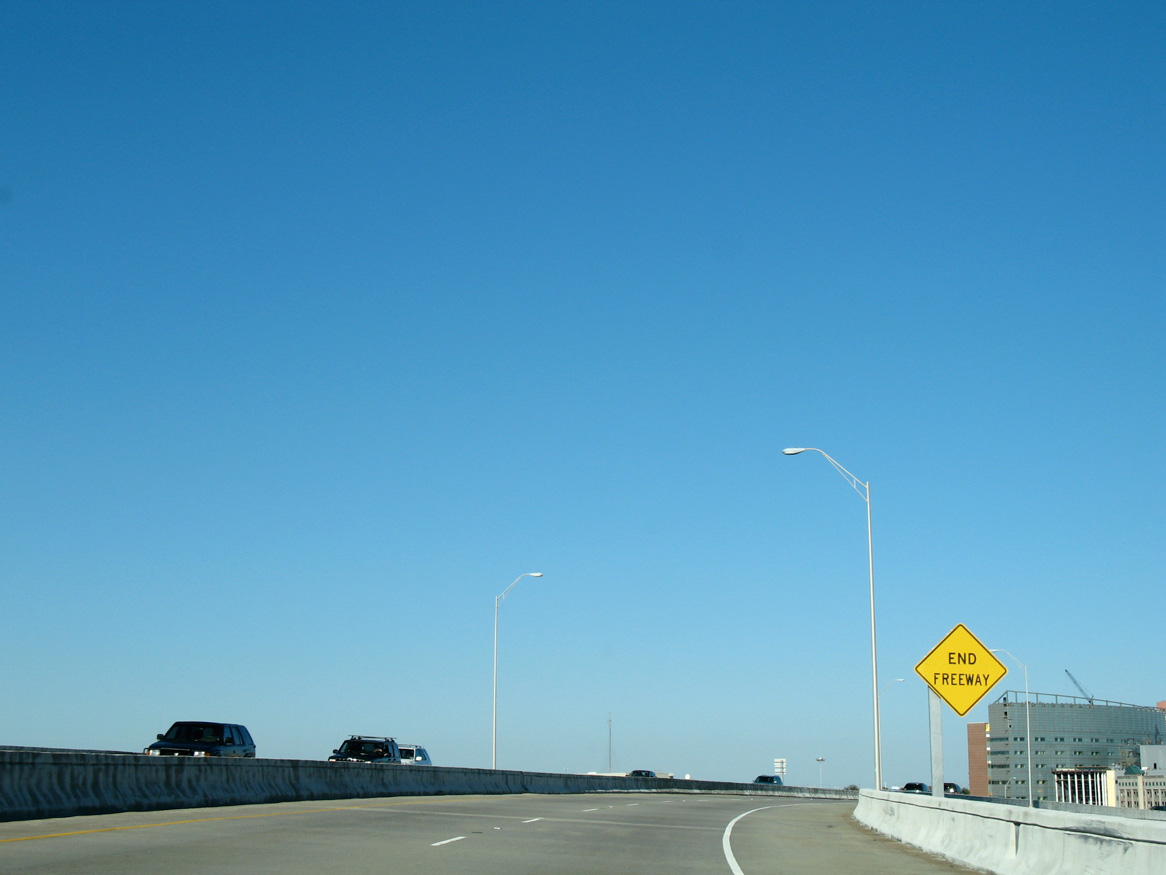
An end freeway sign appears along the Robert B. Scarborough Bridge at mid-span across the Ashley River.
11/12/06

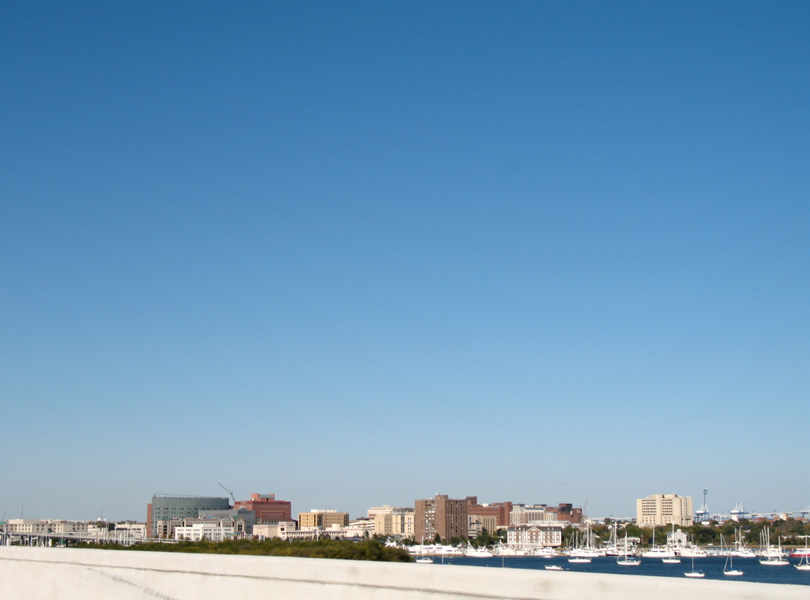
The Charleston central business district spreads east from Lockwood Drive (S.C. 30) between Calhoun Street and U.S. 17.
11/12/06

Lockwood Drive angles southeast from S.C. 30 along the Ashley River to the Harleston Village neighborhood and Broad Street east to Charlestowne.
05/27/07
12/30/07
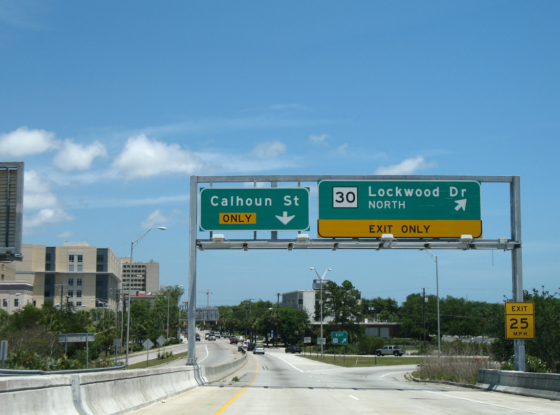
S.C. 30 navigates along a loop ramp onto Lockwood Drive north to U.S. 17 as Calhoun Street begins eastbound.
05/27/07
11/12/06
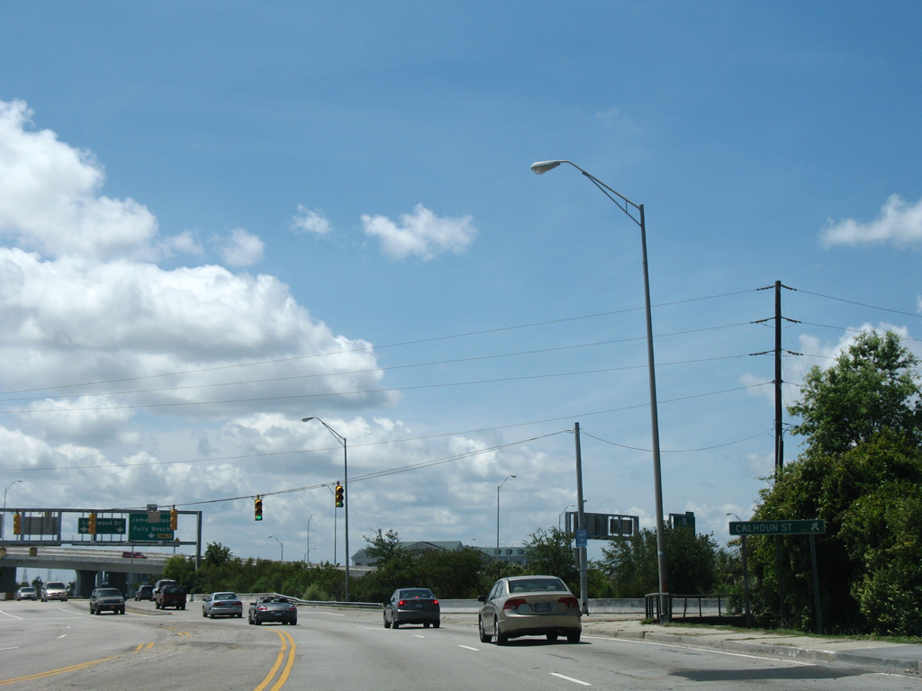
Entering the six-ramp parclo interchange with S.C. 30 (James Island Expressway) and Calhoun Street along Lockwood Drive north.
05/27/07
S.C. 30 runs along Lockwood Drive north to connect with U.S. 17 at Cannon and Spring Streets.
08/18/19

A loop ramp joins Lockwood Drive north with the Robert B. Scarborough Bridge (S.C. 30 west) to James Island.
11/12/06

Lockwood Drive advances less than a quarter mile north to meet U.S. 17 (Spring / Cannon Streets) at a modified diamond interchange.
05/27/07
S.C. 30 intersects Bee Street at the eastbound off-ramp linking U.S. 17 with Lockwood Drive.
05/27/07
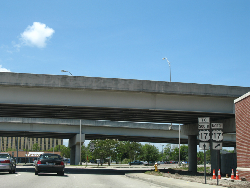
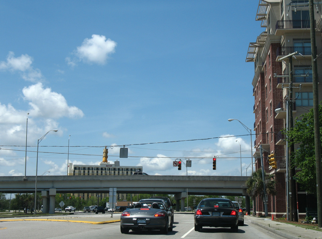
Flyovers carry U.S. 17 over Lockwood Drive, joining the one way couplet of Cannon/Spring Streets with the drawbridges across the Ashley River. The northbound on-ramp from S.C. 30 merges onto the left side of Cannon Street two blocks ahead of the U.S. 17 turn onto Septima Clark Parkway to I-26.
05/27/07
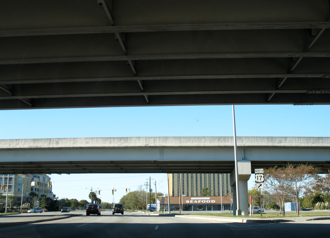
Located just beyond the southbound on-ramp to U.S. 17 from Lockwood Drive is the $280 million WestEdge mixed-use development. Built at the site of Crosby’s Seafood and completed in 2018, the nine-story 10 WestEdge building houses apartment units, office space and a grocery store (The Post and Courier, 2017).
11/12/06
West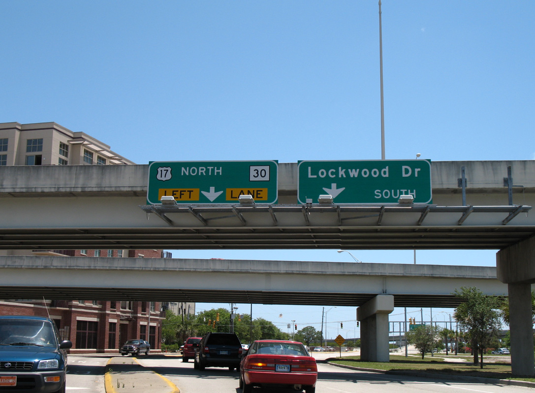
Lockwood Drive wraps around the WestEdge development south from Fishburne Street to connect with U.S. 17 (Spring/Cannon Streets) at S.C. 30.
05/27/07
Bee Street extends east from the U.S. 17 northbound off-ramp for Lockwood Drive and Downtown to Courtenay Drive, which provides access to the highway north toward I-26 and Mt. Pleasant.
05/27/07
S.C. 30 separates from Lockwood Drive south onto a flyover leading west onto the James Island Expressway.
05/27/07
Ramps from Lockwood Drive and Calhoun Street west combine along the Robert B. Scarborough Bridge across the Ashley River.
05/27/07
S.C. 30 (James Island Expressway) curves southwest directly to Exit 1 with S.C. 61 (Herbert U. Fielding Connector) north. S.C. 61 parallels the Ashley River northwest from Charleston to S.C. 165, which leads north into the town of Summerville.
05/27/07
The trumpet interchange with S.C. 61 is entirely elevated, spanning marshland off the Ashley River and Wappoo Creek by Albemarle Point.
05/27/07
S.C. 30 westbound rises across Wappoo Creek onto James Island.
08/18/19
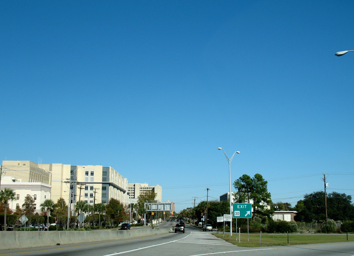
Continuing south, S.C. 30 (James Island Expressway) next meets Harbor View Road at a parclo interchange (Exit 2).
08/18/19
Marshland spreads west from the Ashley River and Dill Creek below S.C. 30 on the Robert B. Scarborough Bridge.
12/15/07
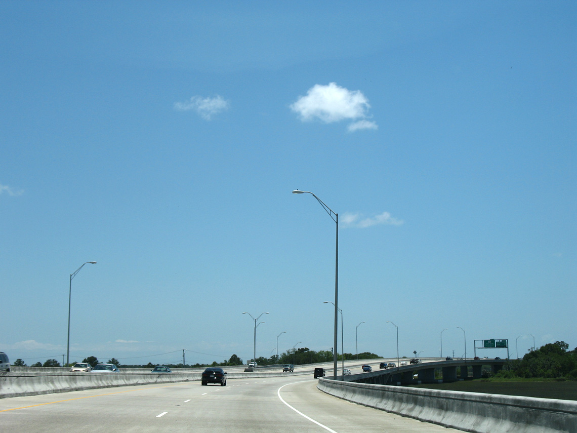
Bending toward the west, S.C. 30 passes just east of the Country Club of Charleston golf course at Exit 2.
05/27/07
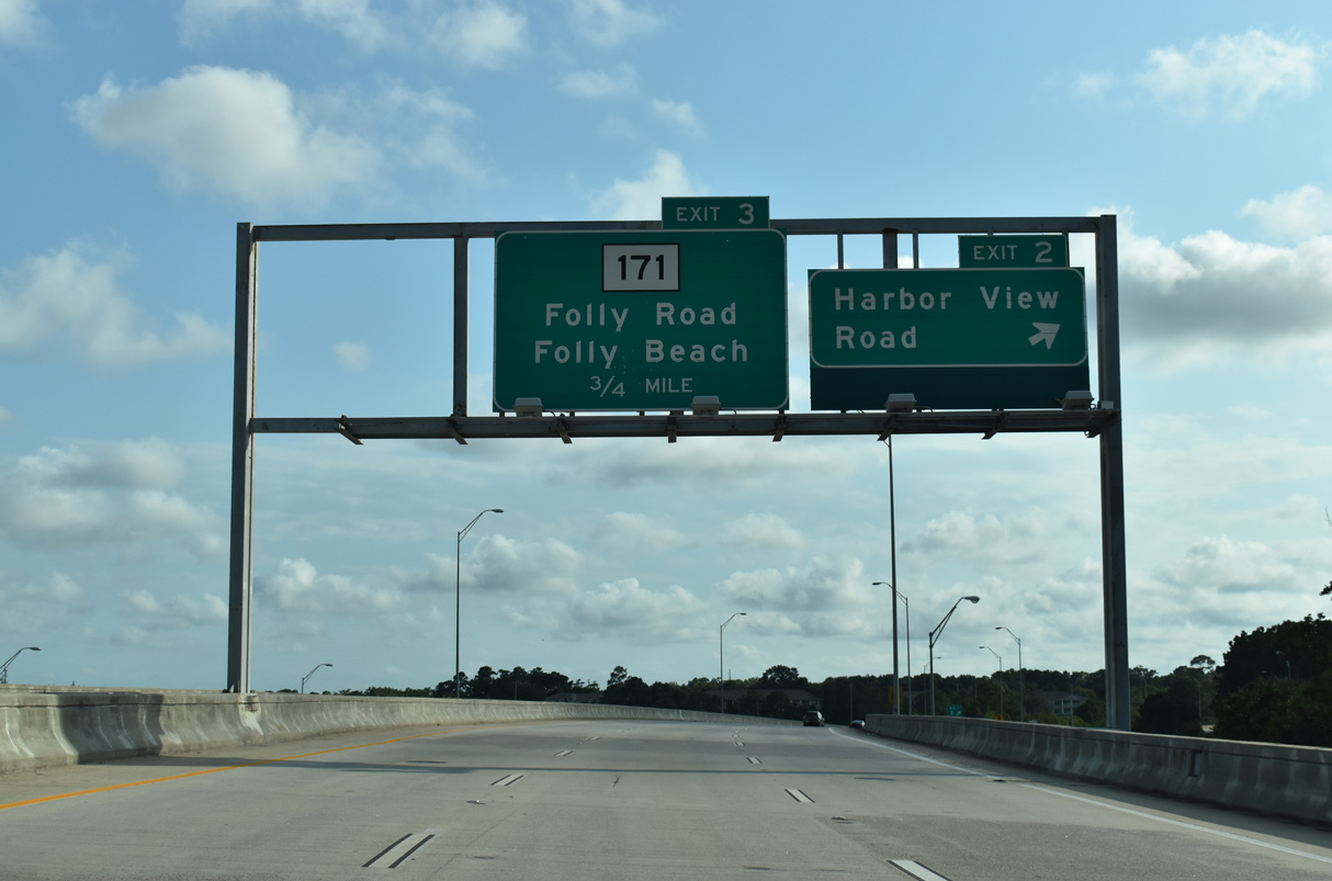
Harbor View Drive weaves through residential areas of Stiles Point east of James Island Creek. West from Exit 2, the five lane boulevard parallels S.C. 30 to S.C. 171 (Folly Road).
08/18/19
S.C. 30 ends prematurely at a half diamond interchange with S.C. 171 (Folly Road) 0.56 miles beyond the entrance ramp from Harbor View Road.
05/27/07
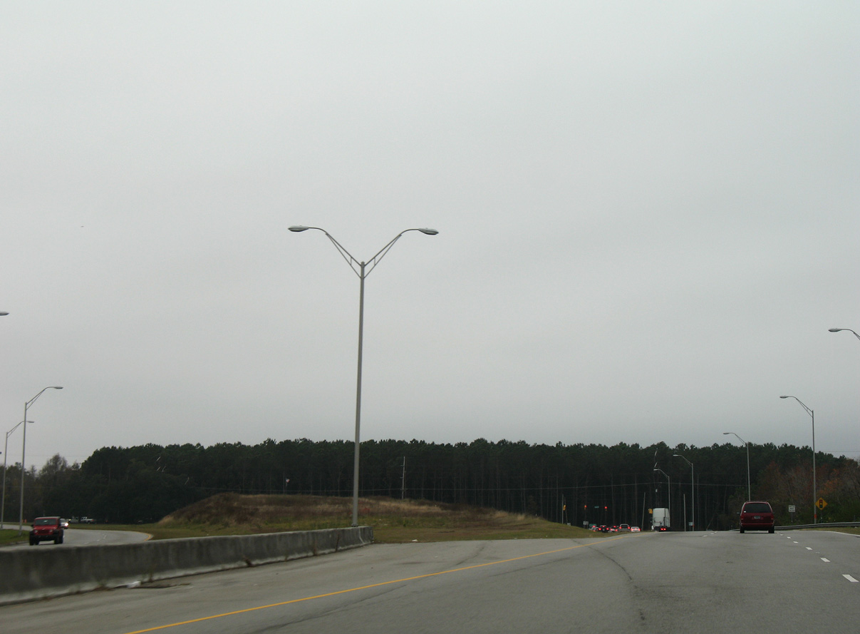
Roadway stubs remain for the unconstructed link between the James Island and Mark Clark Expressways. Funding deficits have prevented work from proceeding along the final section of I-526.
12/15/07
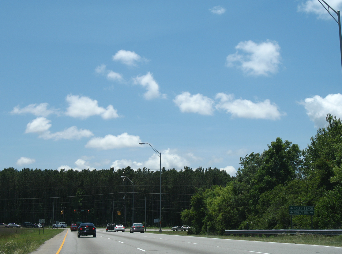
S.C. 171 (Folly Road) spurs south from James Island to Folly Beach along the Atlantic Ocean. The state highway north combines with S.C. 700 from James Island to the Crescent, Wappoo Heights and Old Windermere neighborhoods and U.S. 17 (Savannah Highway).
05/27/07
References:
Baughn, J. (n.d.) SC 30 over S-1028 & ASHLEY RIVER, Charleston County, South Carolina. BridgeReports.com. https://bridgereports.com/1481799
First of three buildings in initial $280 million WestEdge project to open in January in Charleston. (2017, December 11). The Post and Courier.
Photo Credits:
- Alex Nitzman: 05/27/07, 12/15/07
- Alex Nitzman, Justin Cozart: 11/12/06
- Andy Field: 05/30/07, 12/30/07
- Brent Ivy: 08/18/19
Connect with:
Page Updated Wednesday March 09, 2022.