
Highway 61 North
 South
South  North
North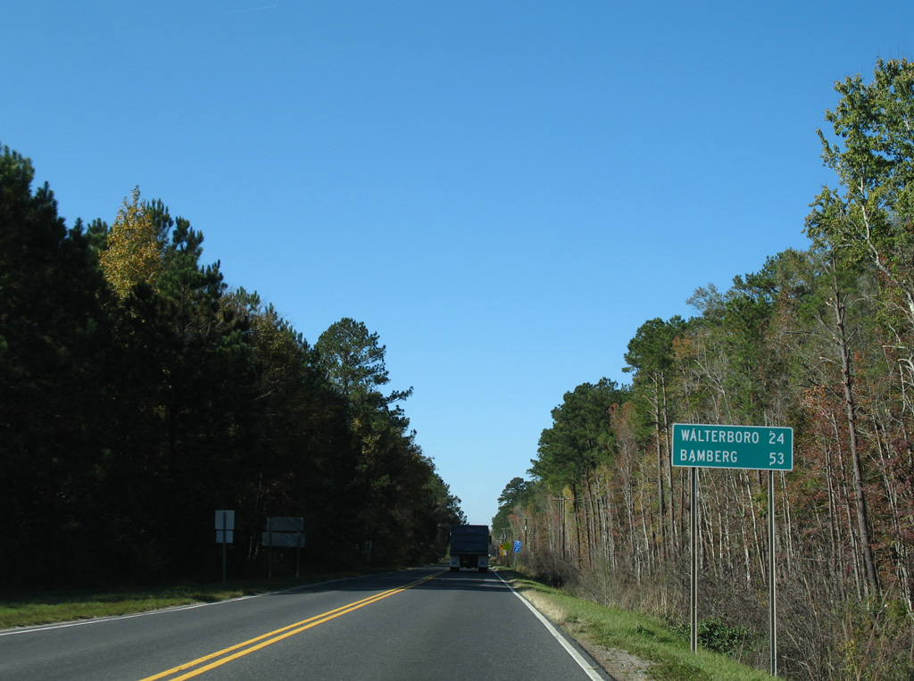
S.C. 61 combines with U.S. 17 ALT for 0.41 miles west at The Forks.
11/13/06
11/13/06
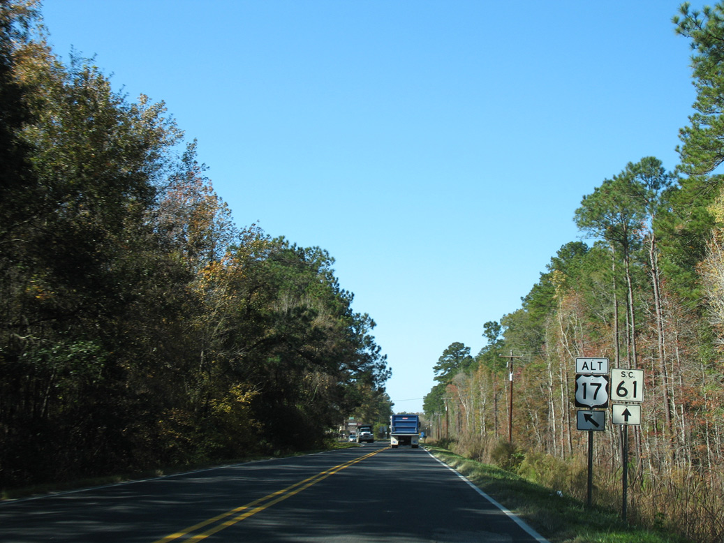
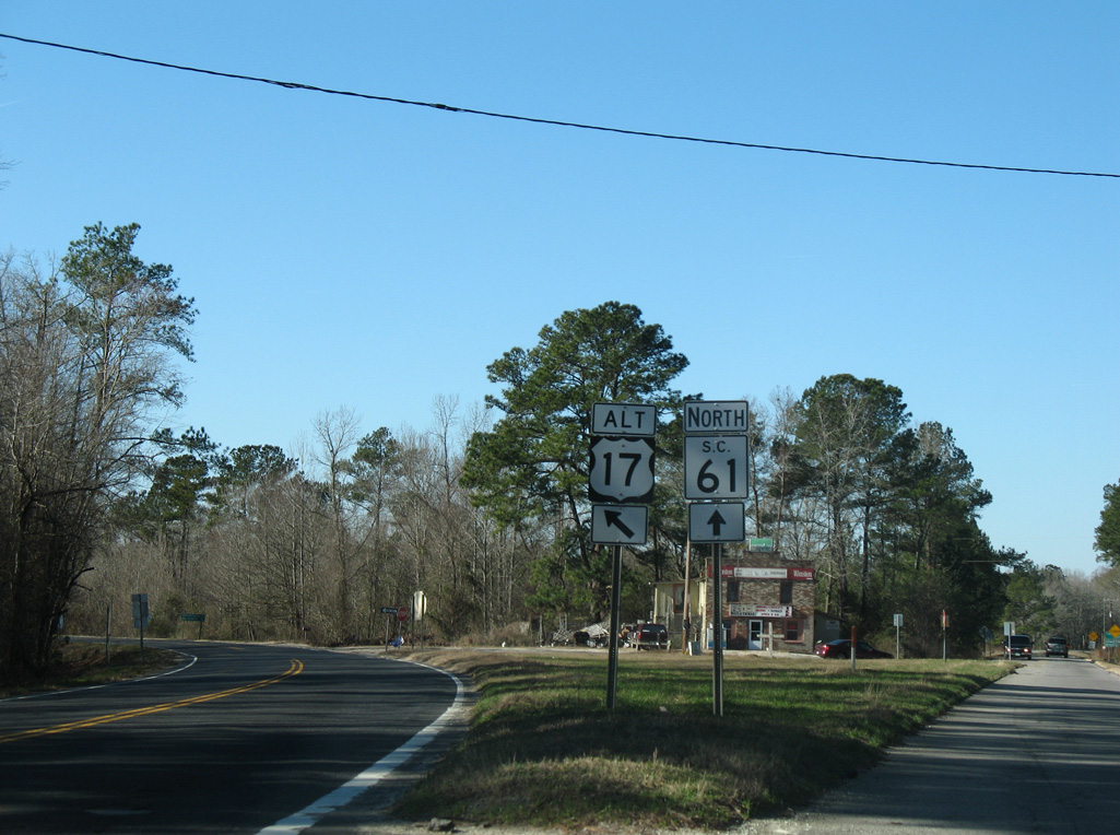
U.S. 17 ALT diverges southwest to Cottageville while S.C. 61 arcs northward to Coachmans Corners.
11/13/06
11/13/06
01/03/08
North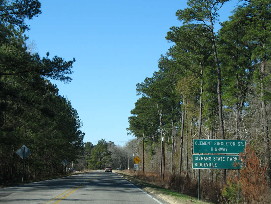
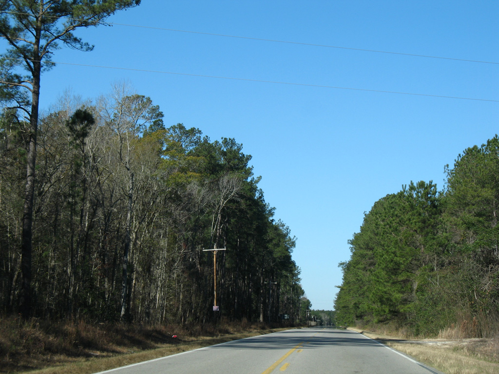
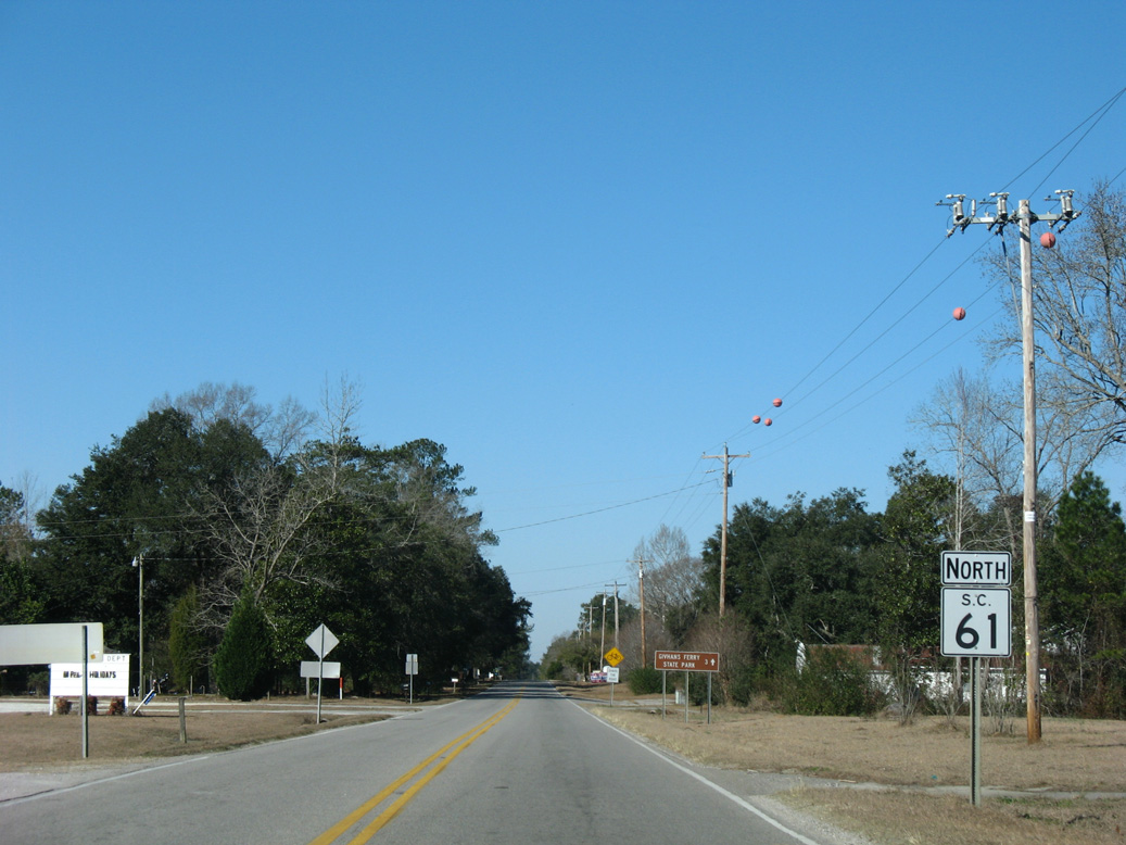
S.C. 61 branches northwest from U.S. 17 ALT along the Clement Singleton, Sr. Highway 8.00 miles to Givhans Ferry State Park.
01/03/08
01/03/08
01/03/08
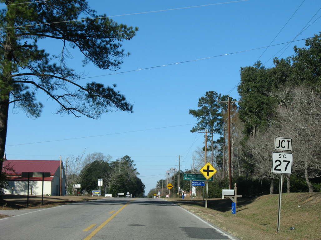
S.C. 61 advances northwest to meet the south end of S.C. 27 at Givhans.
01/03/08
01/03/08
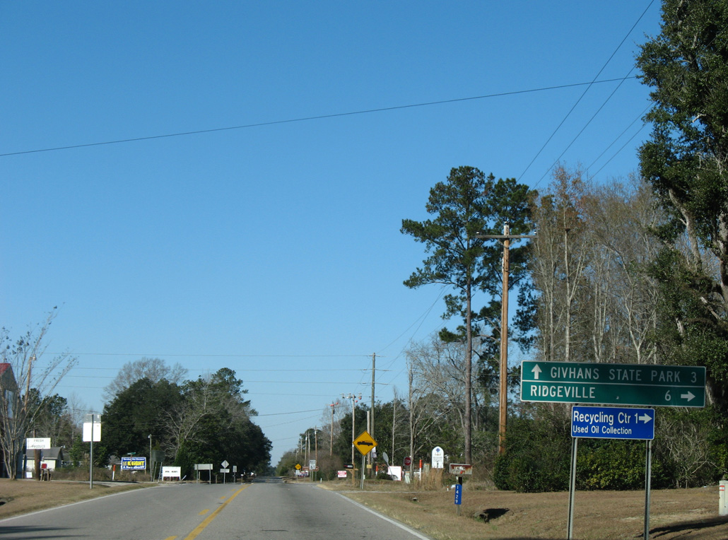
S.C. 27 runs 19.51 miles northeast to Ridgeville, I-26 near Pringletown and U.S. 176 between Sandridge and Dean Swamp.
01/03/08
01/03/08
01/03/08
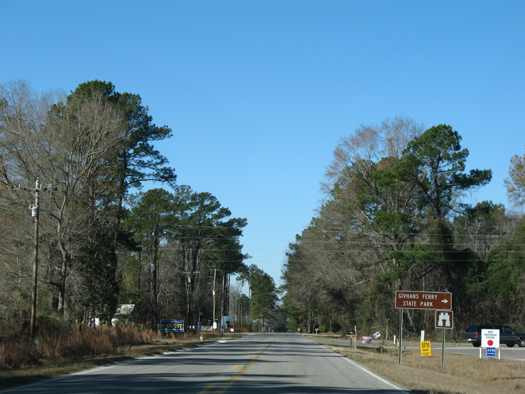
Givhans Ferry Road (Road 30) stems north from S.C. 61 into Givhans Ferry State Park.
01/03/08
01/03/08
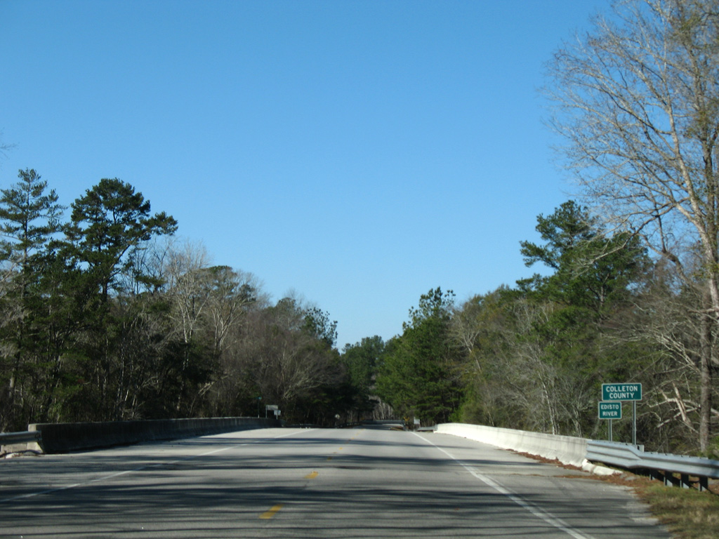
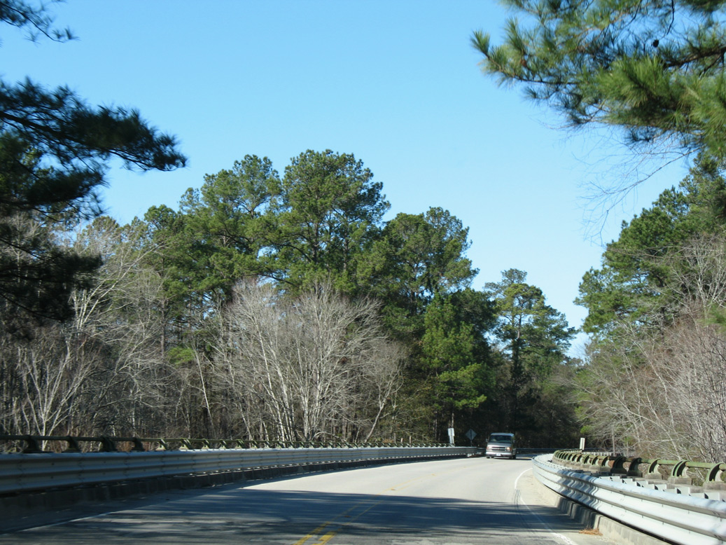
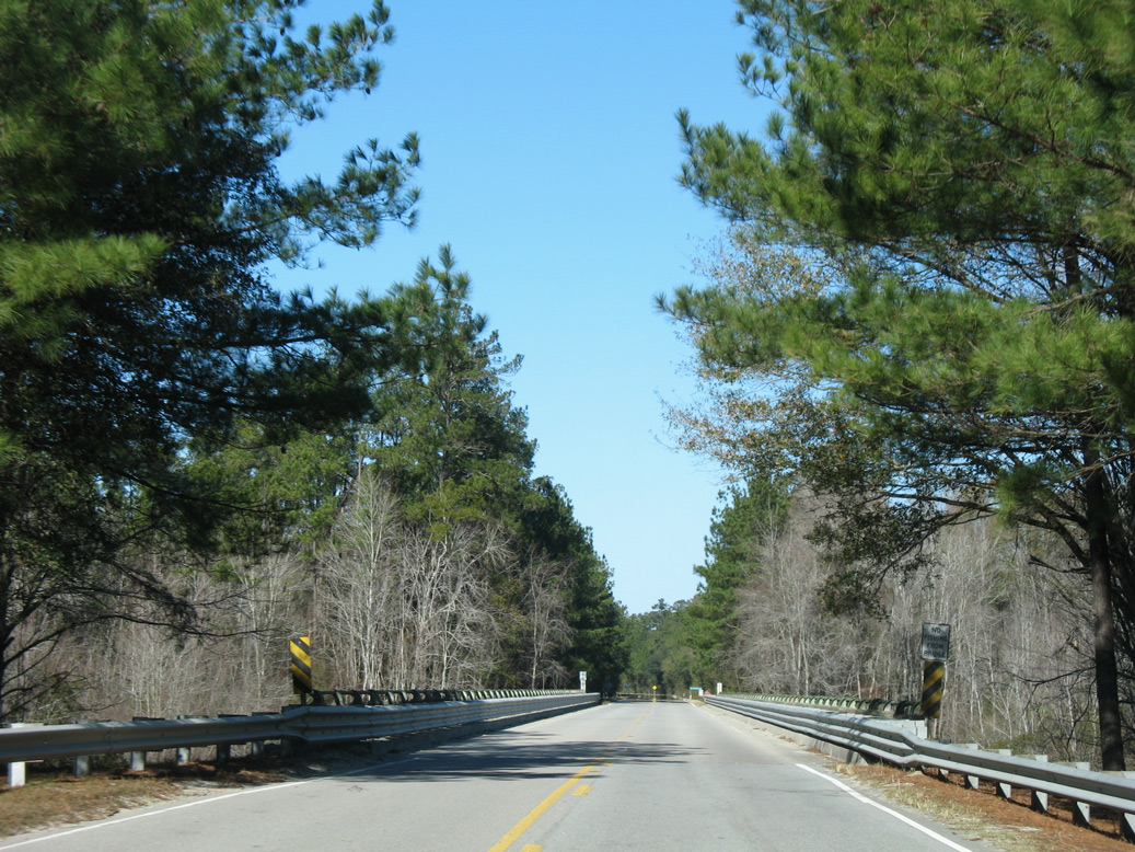
Crossing the Edisto River, S.C. 61 (Augusta Highway) enters Colleton County.
01/03/08
01/03/08
01/03/08
01/03/08
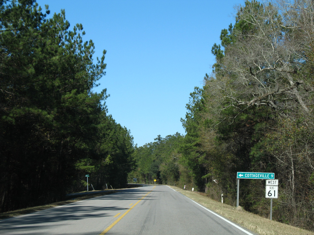
Peirce Road (Road 35) heads 9.04 miles southwest from S.C. 61 to Red Oak Corner and U.S. 17 ALT in the town of Cottageville.
01/03/08
01/03/08
01/03/08
01/03/08
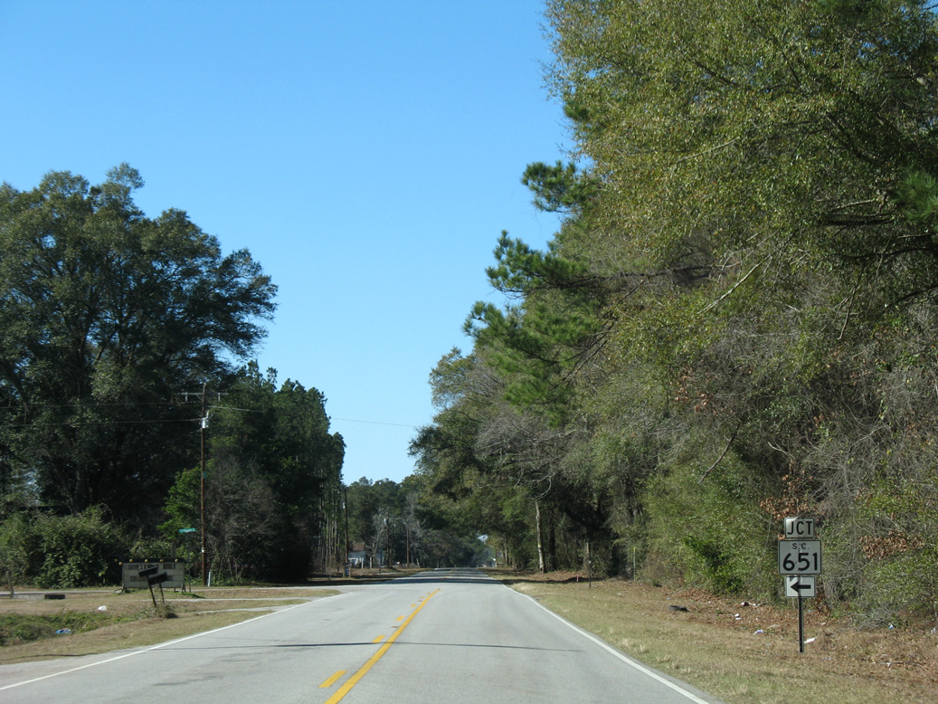
S.C. 651 (Rehoboth Road) runs 8.27 miles south from S.C. 61 to U.S. 17 ALT (Cottageville Highway) in Cottageville.
01/03/08
01/03/08
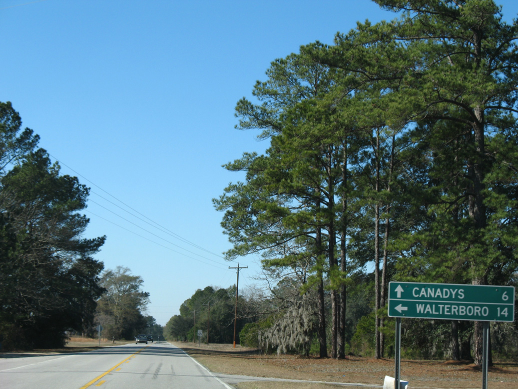
Sidneys Road (Road 21) angles 11.09 miles southwest to Sidney and U.S. 17 ALT outside Walterboro.
01/03/08
01/03/08
01/03/08
01/03/08
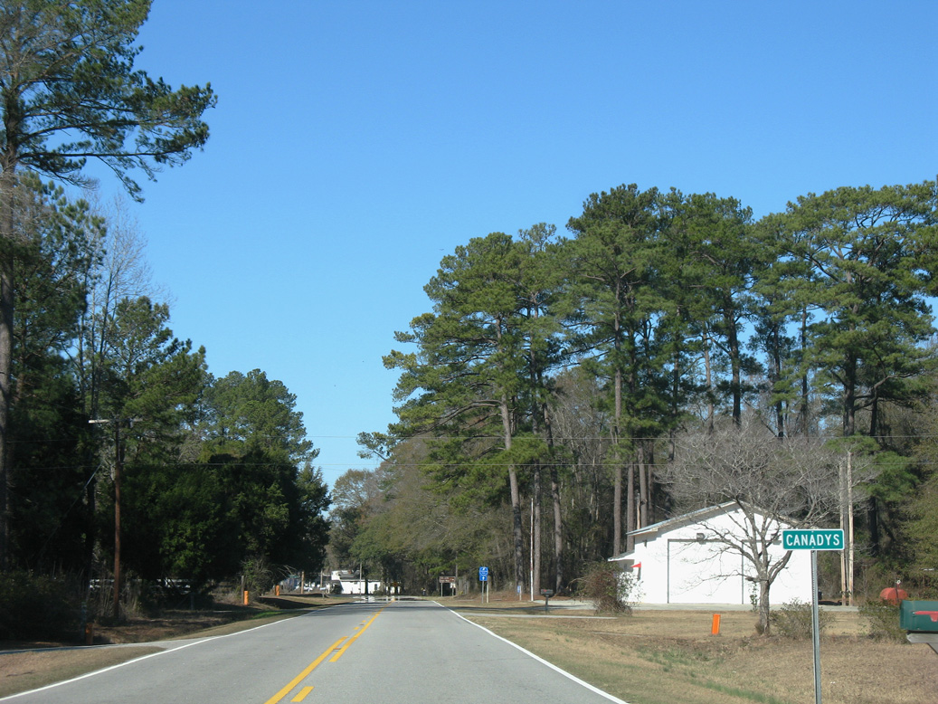
S.C. 61 (Augusta Highway) north at the unincorporated community of Canadys.
01/03/08
01/03/08
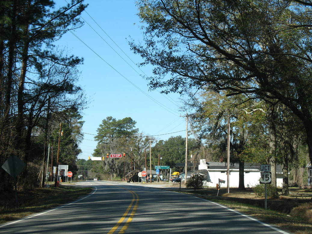
Upcoming U.S. 15 (Jefferies Highway) originates 11.16 miles to the south from U.S. 17 ALT in Walterboro.
01/03/08
01/03/08
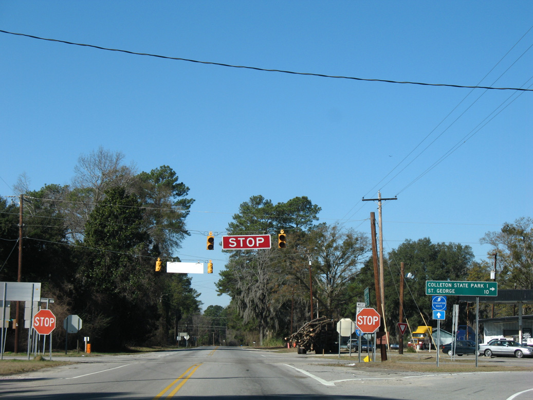
U.S. 15 (Jefferies Highway) continues 9.66 miles north to U.S. 78 at Parler Avenue and Memorial Boulevard in the town of Saint George.
01/03/08
01/03/08
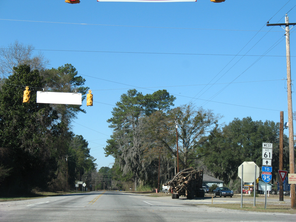
01/03/08
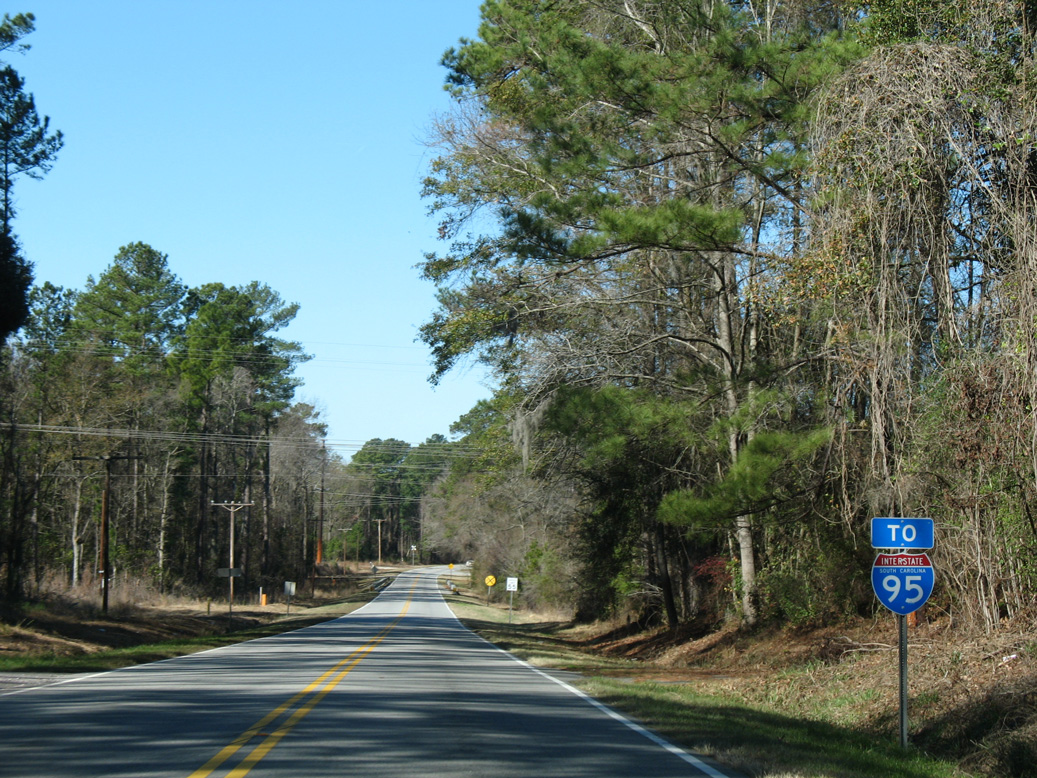
Removed after 2008, a second trailblazer for Interstate 95 was posted along S.C. 61 (Augusta Highway) north ahead of Redbank Drain in Canadys.
01/03/08
01/03/08
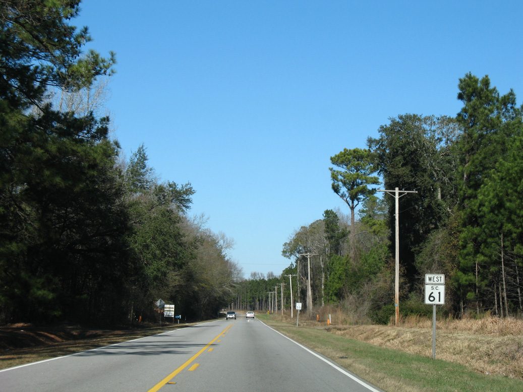
01/03/08

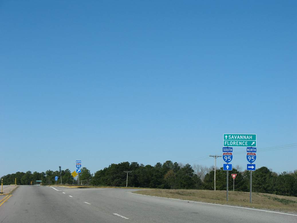
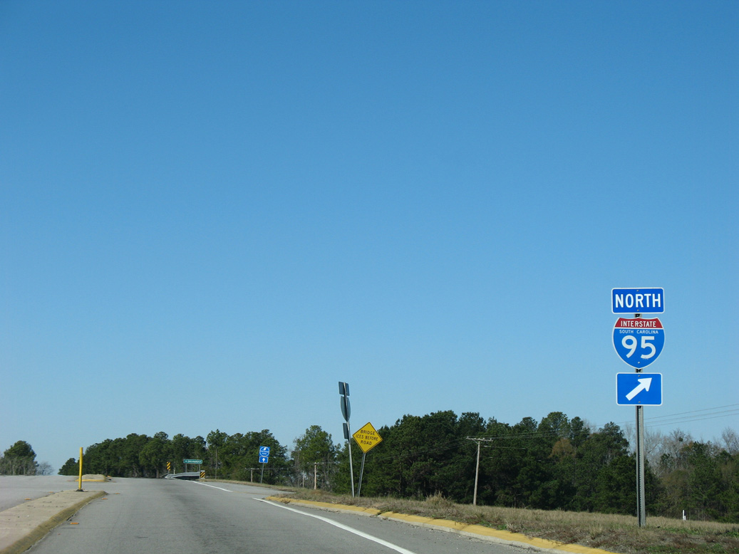
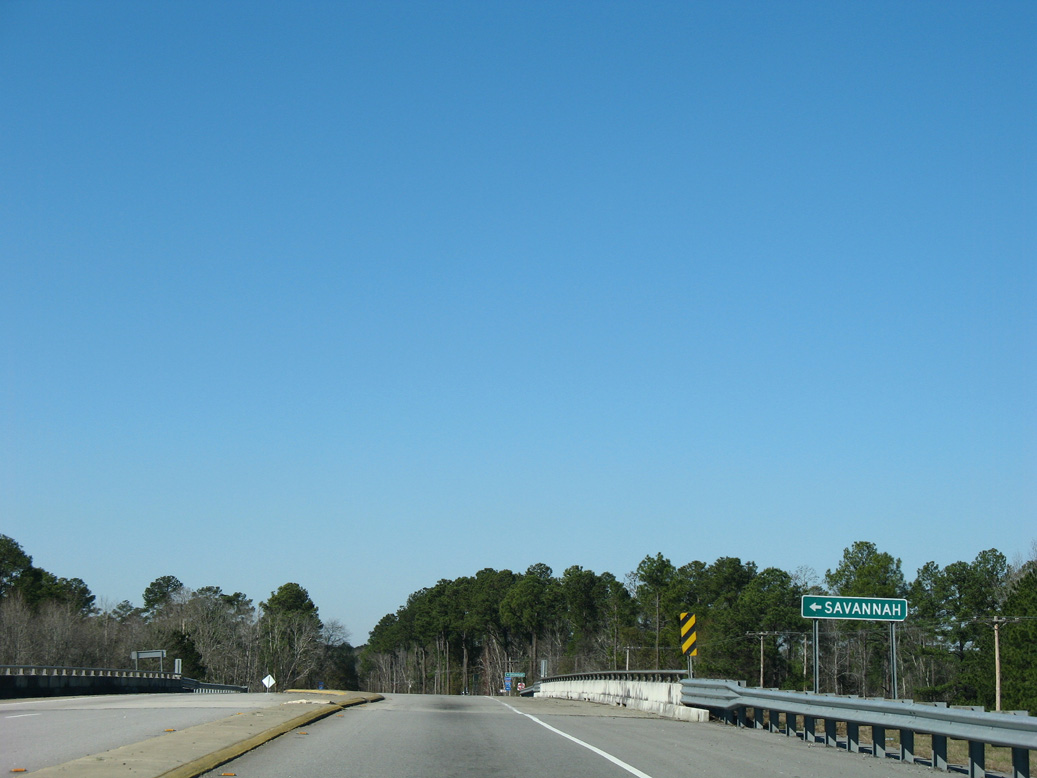
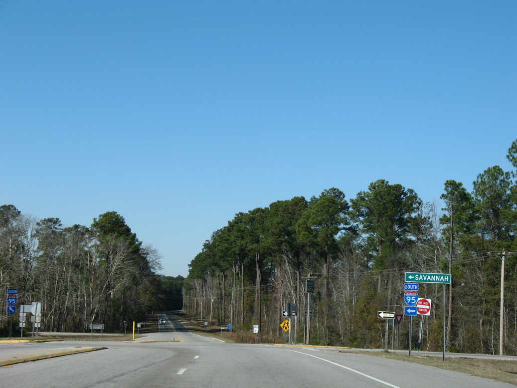
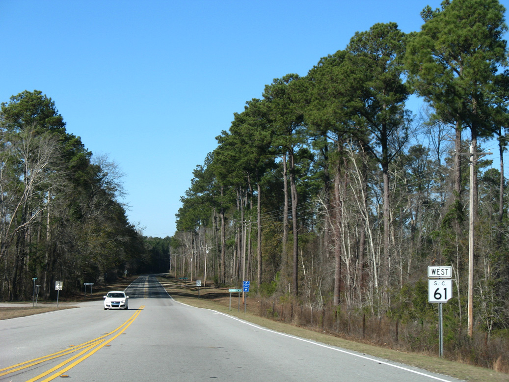
S.C. 61 (Augusta Highway) converges with Interstate 95 at a diamond interchange (Exit 68) just south of the Edisto River.
01/03/08
01/03/08
01/03/08
01/03/08
01/03/08
01/03/08
01/03/08
01/03/08
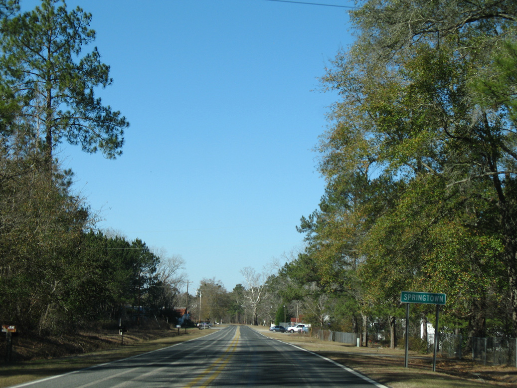
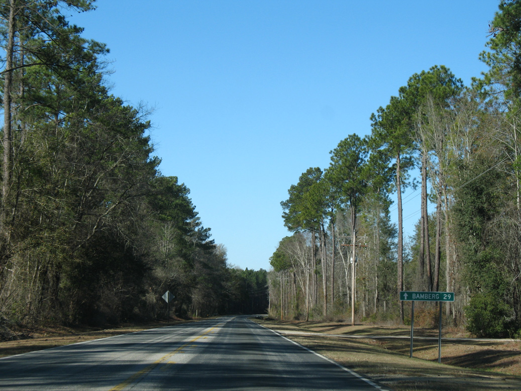
Augusta Highway passes through the settlement of Springtown midway between I-95 and S.C. 217 (Sunrise Road).
01/03/08
01/03/08
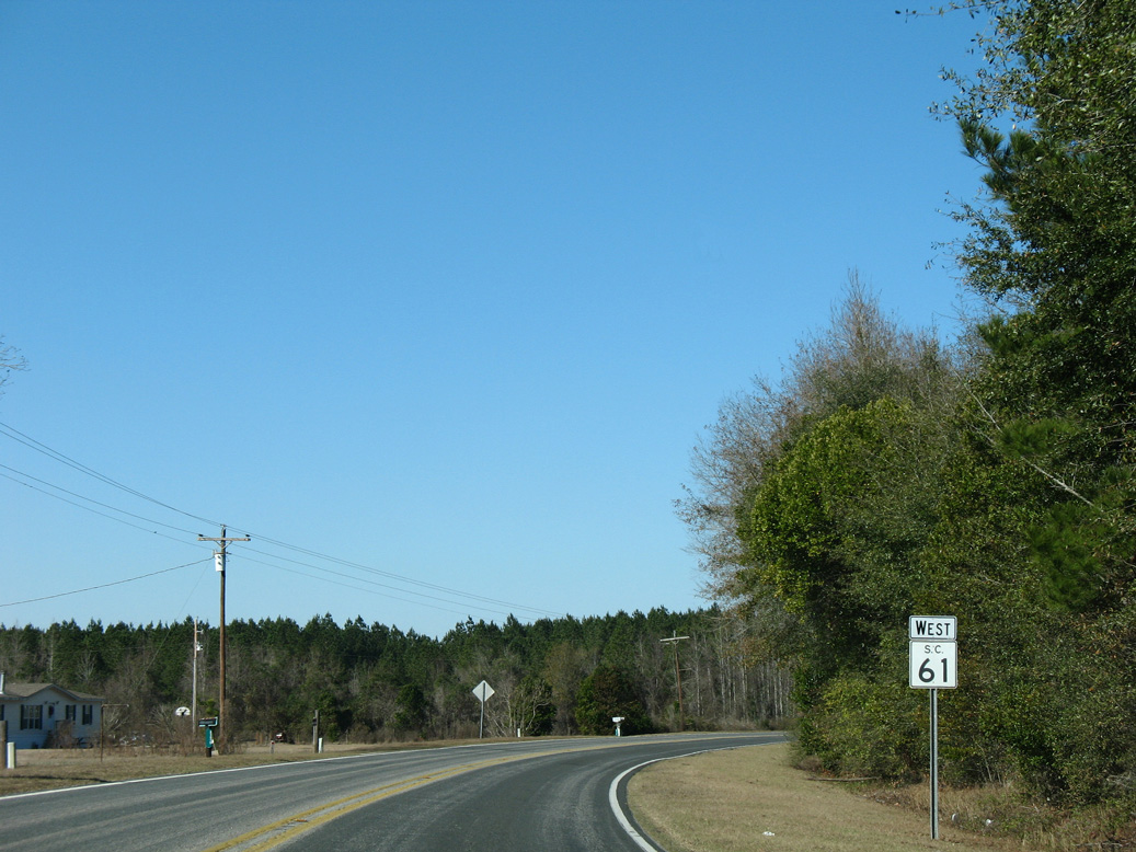
Curving northwest along S.C. 61 after the intersection with Can City Road (Road 50) south.
01/03/08
01/03/08
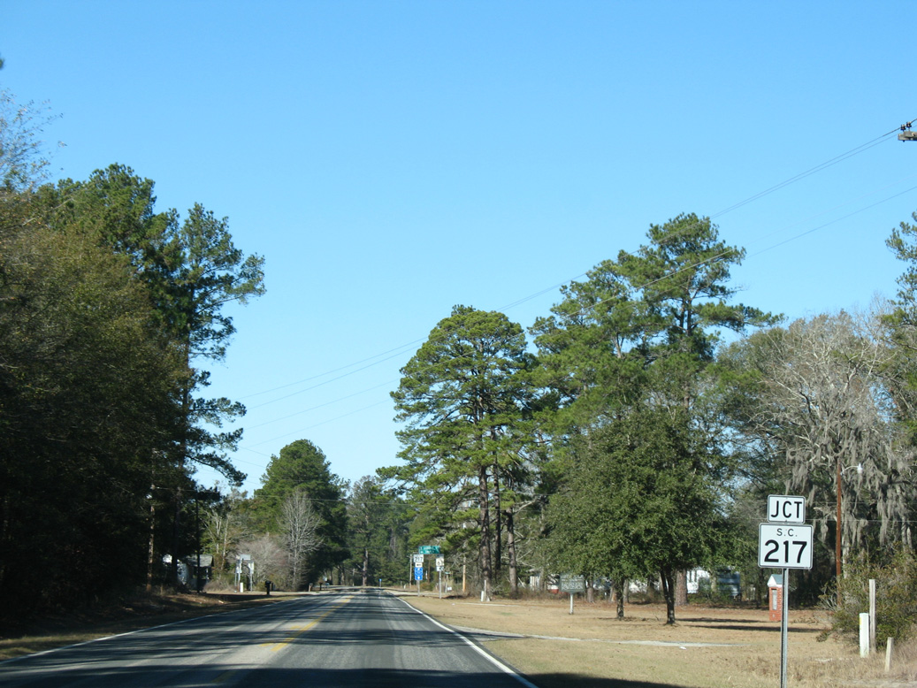
S.C. 217 (Sunrise Road) branches west from S.C. 61 to Smoaks and Lodge.
01/03/08
01/03/08
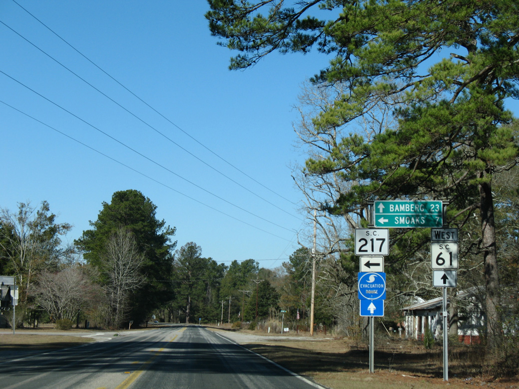
Measuring 15.39 miles in length, S.C. 217 runs west to S.C. 64 (Bells Highway) at Lodge Highway (Road 18).
01/03/08
01/03/08
Photo Credits:
- Alex Nitzman: 11/13/06, 01/03/08
Page Updated Thursday December 30, 2021.