
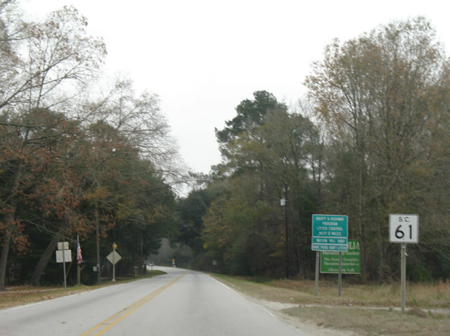
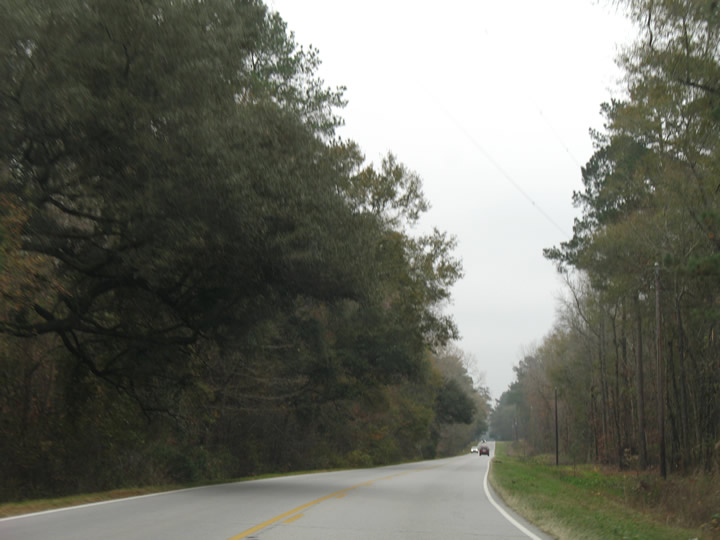
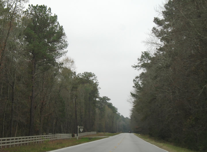
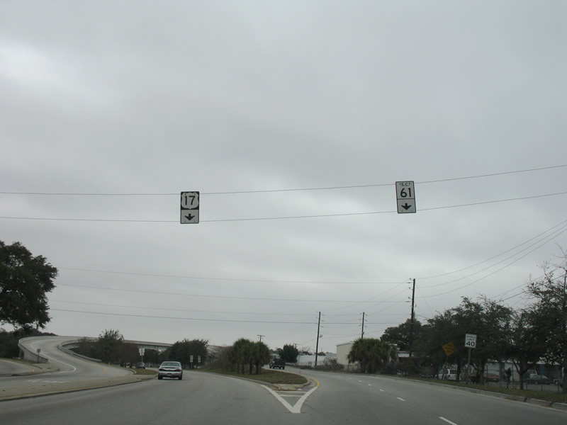
Highway 61 South
 South
South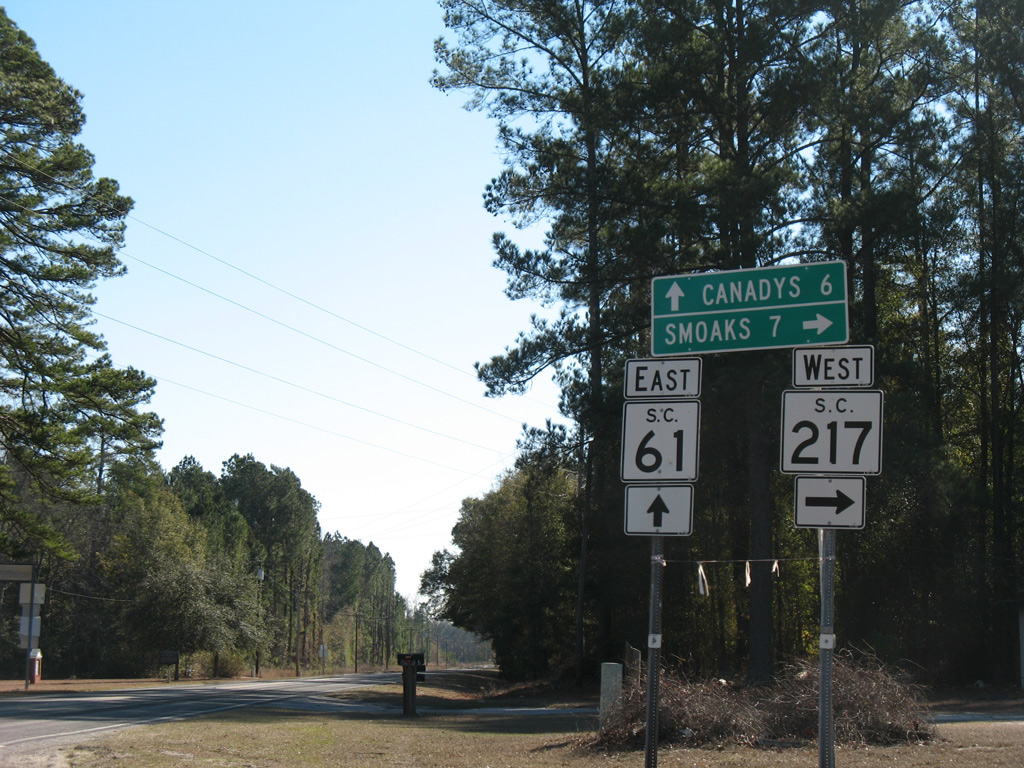
S.C. 217 (Sunrise Road) stems 6.88 miles west from S.C. 61 (Augusta Highway) near Springtown to U.S. 21 in the town of Smoaks.
01/03/08
01/03/08
The previously rural intersection with S.C. 165 was expanded in 2014/15 with turn lanes and additional lanes along both state highways.
12/15/07
12/15/07
S.C. 61 continues southeast from Cooke Crossroads along the Ashley River National Scenic Byway.
12/15/07
12/15/07
Points of interest along Ashley River National Scenic Byway include Middleton Gardens, Magnolia Gardens and Plantation, and Drayton Hall.
12/15/07
12/15/07
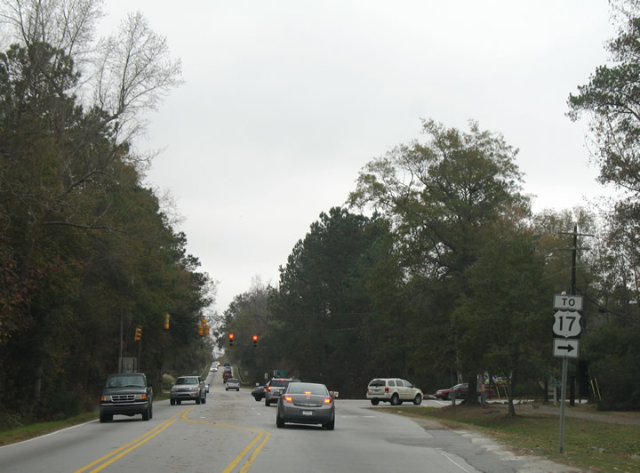
S.C. 61 (Ashley River Road) runs between several subdivisions in western reaches of Charleston to Bees Ferry Road (Road 57). Bees Ferry Road is a four lane arterial angling southwest 4.55 miles to U.S. 17.
12/15/07
12/15/07
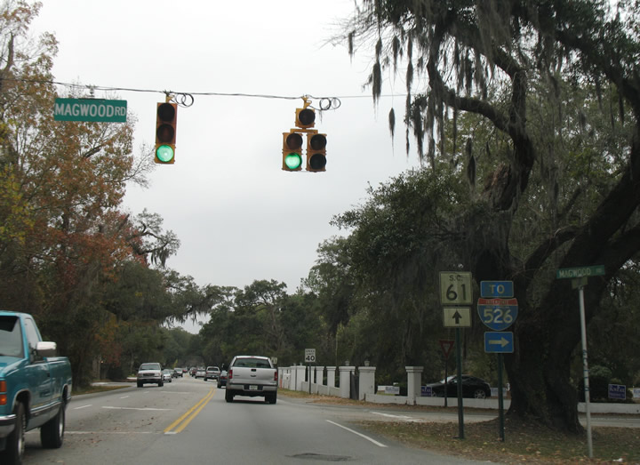
Magwood Road links S.C. 61 (Ashley River Road) with S.C. 461 in 0.78 miles. S.C. 461 runs west along Glenn McConnell Parkway and east along Paul Cantrell Boulevard to Interstate 526.
12/15/07
12/15/07

The reassurance marker south of Magwood Road is only the second for S.C. 61 posted south of S.C. 165 in Dorchester County.
12/15/07
12/15/07
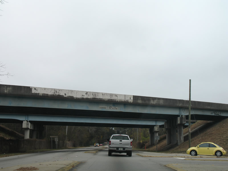
There is no direct access between S.C. 61 (Ashley River Road) and Interstate 526.
12/15/07
12/15/07
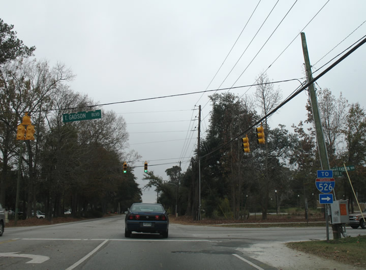
Tobias Gadsden Boulevard arcs 0.33 miles south to S.C. 461 (Paul Cantrell Boulevard) east of the exchange with Interstate 526.
12/15/07
12/15/07
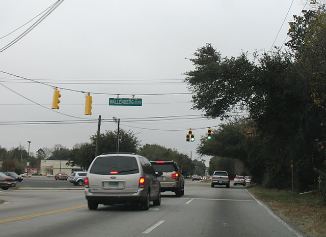
Raoul Wallenberg Boulevard heads 0.74 miles northeast from S.C. 61 to the Plantation Estates neighborhood and Ashley Hall Road.
12/15/07
12/15/07
S.C. 61 (Ashley River Road) next converges with the south end of S.C. 461 (Paul Cantrell Boulevard).
12/15/07
12/15/07
Savage Road intersects S.C. 61 (Ashley River Road) to the immediate south of S.C. 461. Savage Road arcs 1.86 miles southwest to U.S. 17 (Savannah Highway).
12/15/07
12/15/07
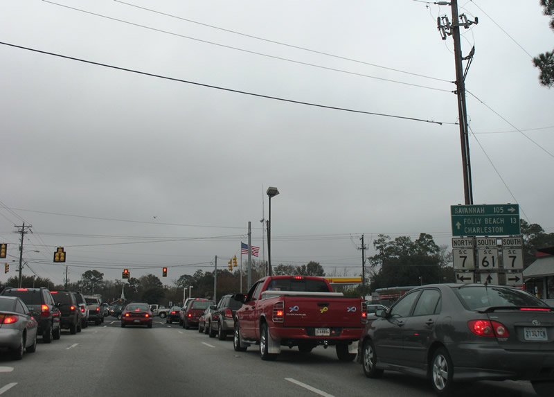
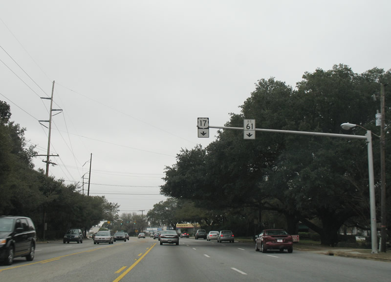
S.C. 61 meets S.C. 7 (Sam Rittenburg Boulevard) along a heavily developed commercial strip in West Ashley. S.C. 7 runs 5.92 miles northeast from U.S. 17 to U.S. 52/78 in North Charleston.
12/15/07
12/15/07
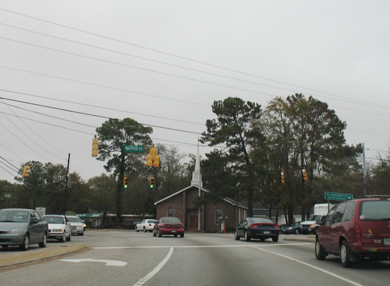
Wappoo Road (Road 26) stems 2.77 miles southwest from S.C. 7 to U.S. 17 at Dupont Station and Edgewater Park along the Stono River.
12/15/07
12/15/07
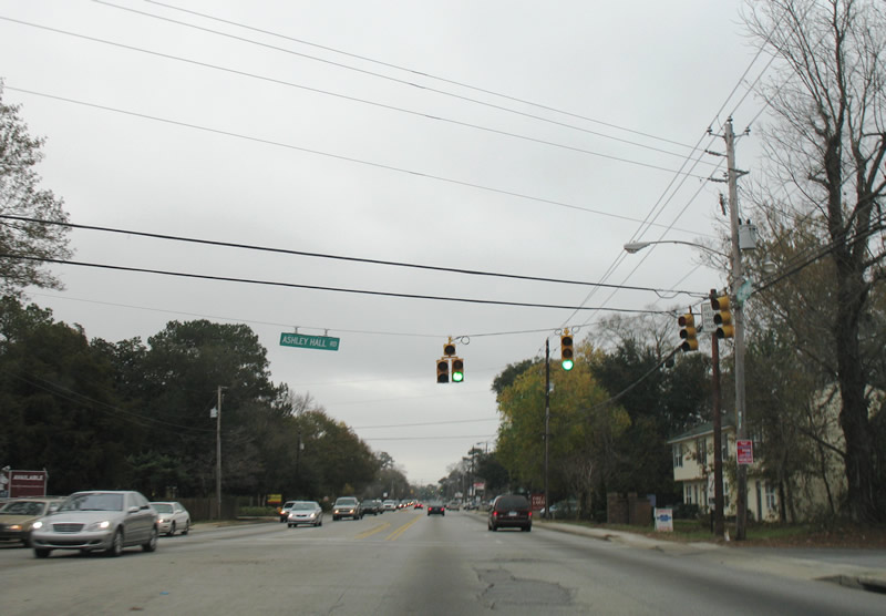
Ashley Hall Road south ties into S.C. 61 (Ashley River Road) by the Heathwood subdivision.
12/15/07
12/15/07
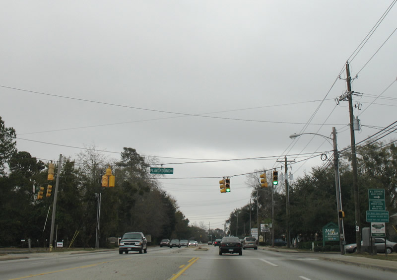
Road 520 is a 1.00 mile long collector along Playground Road and W Oak Forest Drive south from S.C. 61 to U.S. 17 (Savannah Highway).
12/15/07
12/15/07
Carriage Lane (Road 80) provides a cutoff 0.17 miles to S.C. 171 (Old Towne Road) north.
12/15/07
12/15/07
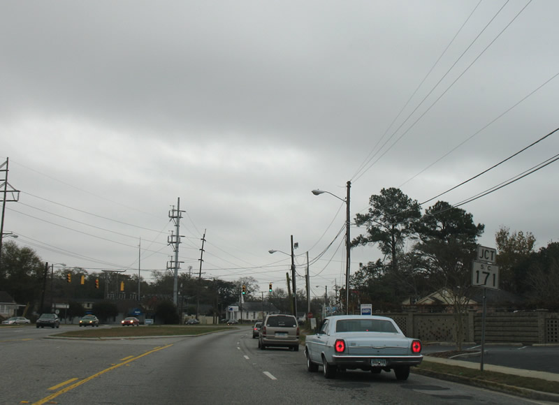
S.C. 171 (Old Towne Road) branches 1.59 miles south from S.C. 7 (Sam Rittenburg Boulevard) to Charles Town Landing State Historic Site and S.C. 61 at Maryville.
12/15/07
12/15/07
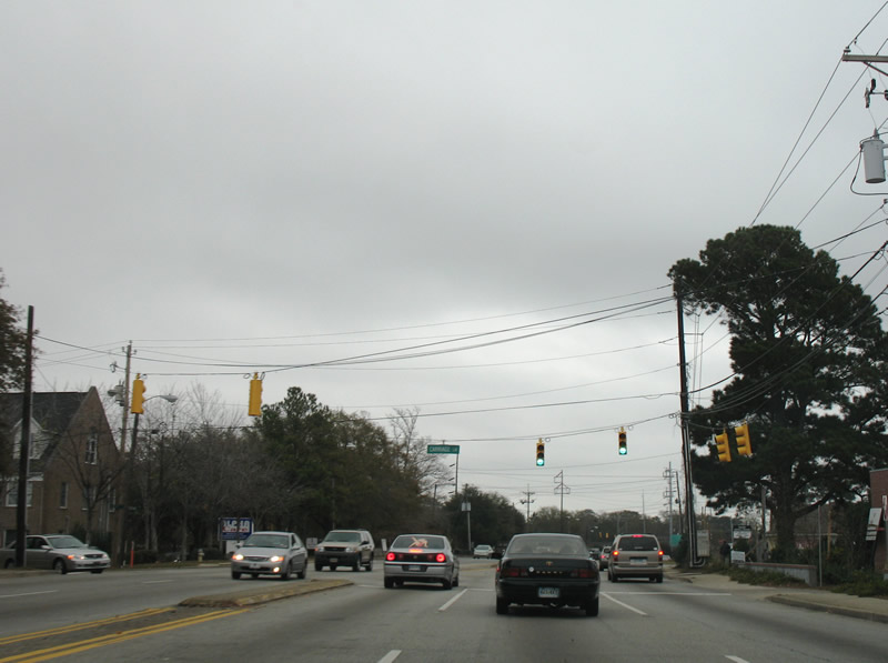
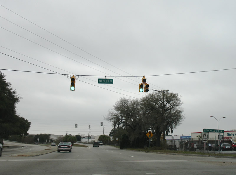
S.C. 61/171 overlap 1.59 miles southeast to Wesley Drive.
12/15/07
12/15/07
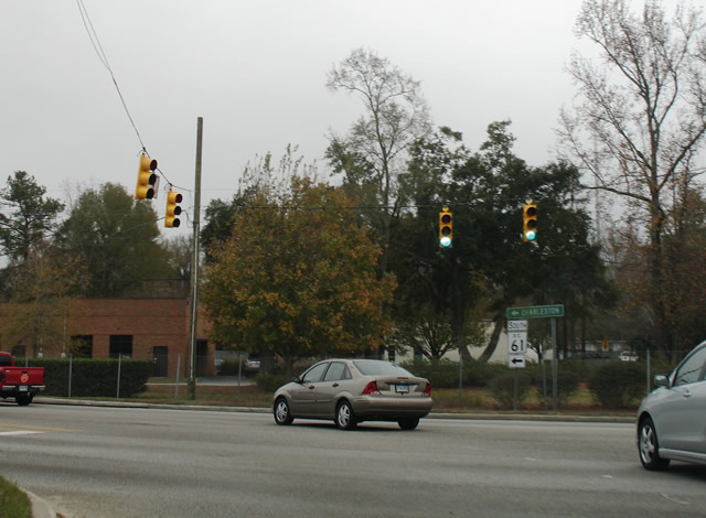
S.C. 171 spurs 9.33 miles south from S.C. 61 (St. Andrews Boulevard) to Folly Beach.
12/15/07
12/15/07
S.C. 61 elevates onto a flyover ramp spanning U.S. 17 (Savannah Highway) south beyond the exit for U.S. 17 across the T. Allen Legare Bridge into Downtown Charleston.
12/15/07
12/15/07
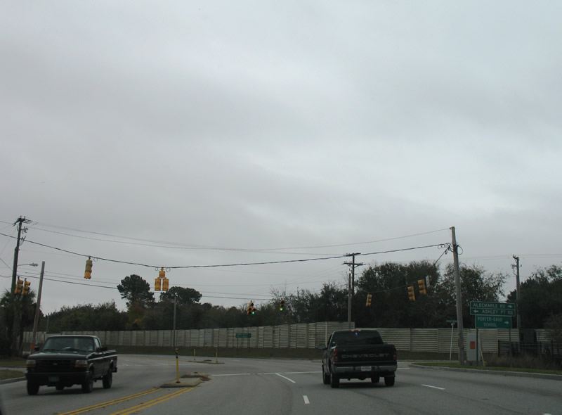
The second of two signalized intersections along the Herbert U. Fielding Connector joins S.C. 61 with Ashley Point Drive and Albemarle Road.
12/15/07
12/15/07
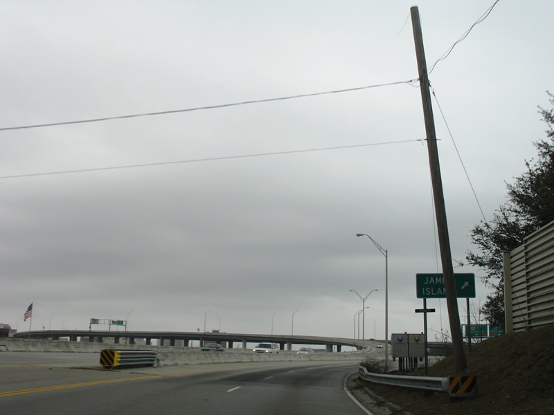
S.C. 61 concludes east of Ashley Point Drive at a trumpet interchange with S.C. 30 (James Island Expressway).
12/15/07
12/15/07
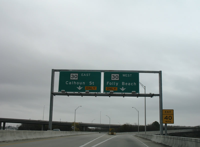
A 3.05 mile long route, S.C. 30 (James Island Expressway) spurs south from U.S. 17 (Spring Street) and Downtown Charleston to S.C. 171 (Folly Road) on James Island. The freeway was constructed in anticipation of Interstate 526.
12/15/07
12/15/07
Photo Credits:
- Alex Nitzman: 12/15/07, 01/03/08
Page Updated Monday December 05, 2022.