
Highway 302
South Carolina Highway 302 stretches 66.1 miles from S.C. 125 in Aiken County east to U.S. 21-176-321 at West Columbia. The highway is mostly rural, with exceptions through Aiken and from South Congaree to Cayce and West Columbia.
 East
East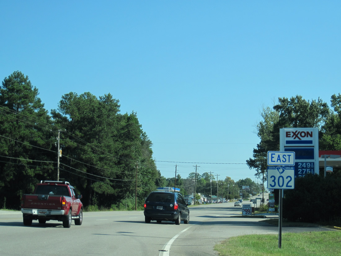
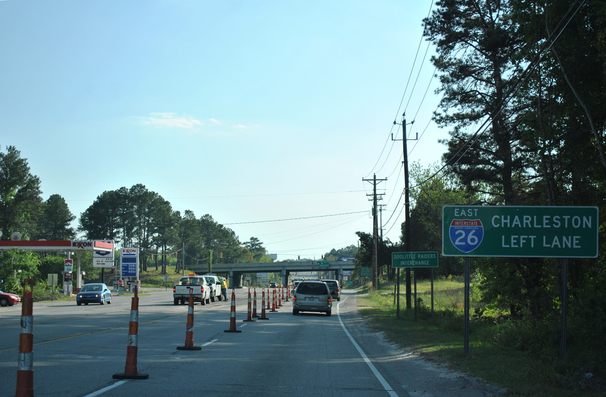
Leaving the diamond interchange with Interstate 26, S.C. 302 continues along a five lane boulevard along the Cayce and West Columbia city line.
10/03/10
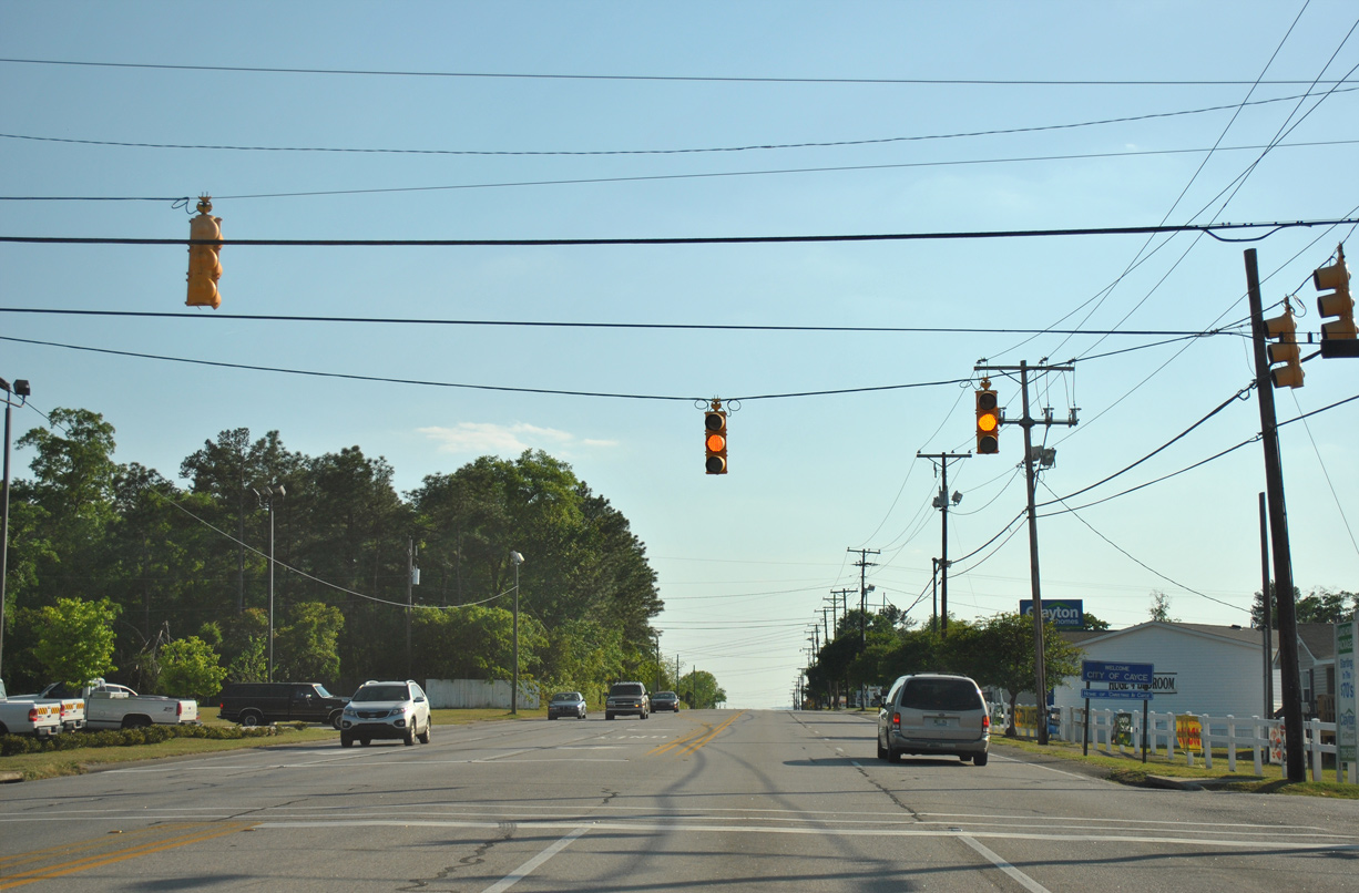
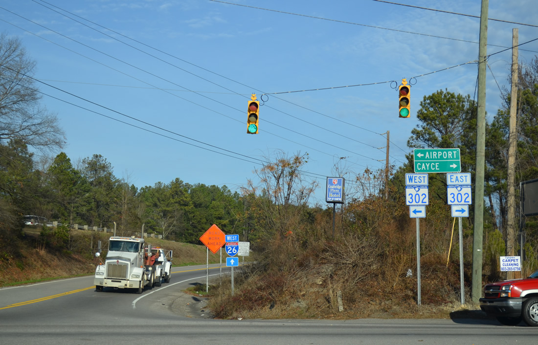
Sox Street south and Memorial Drive north come together at this traffic light along S.C. 302 (Airport Boulevard) east.
10/03/10
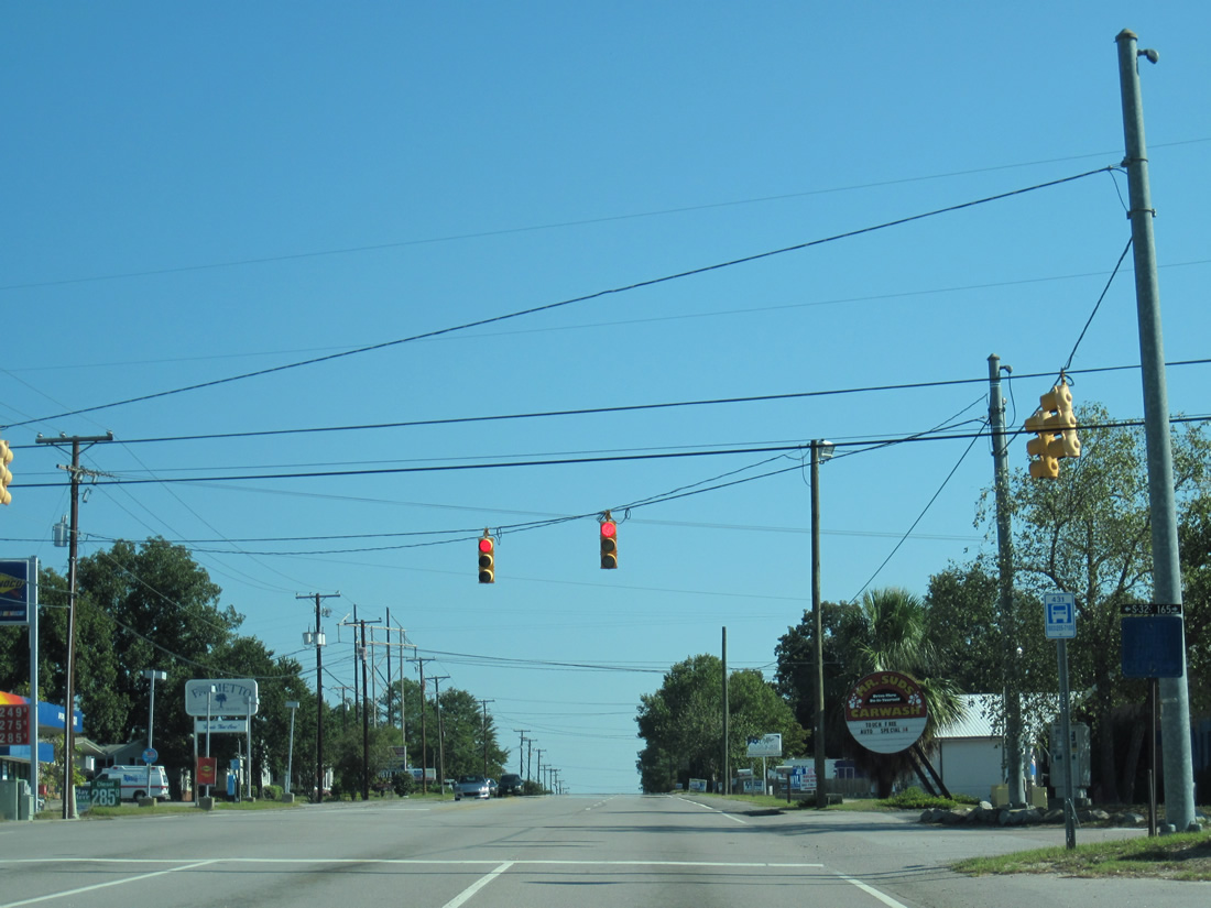
Glenn Street forms an arc from residential areas of Cayce to S.C. 602 (Platt Springs Road) in West Columbia.
10/03/10
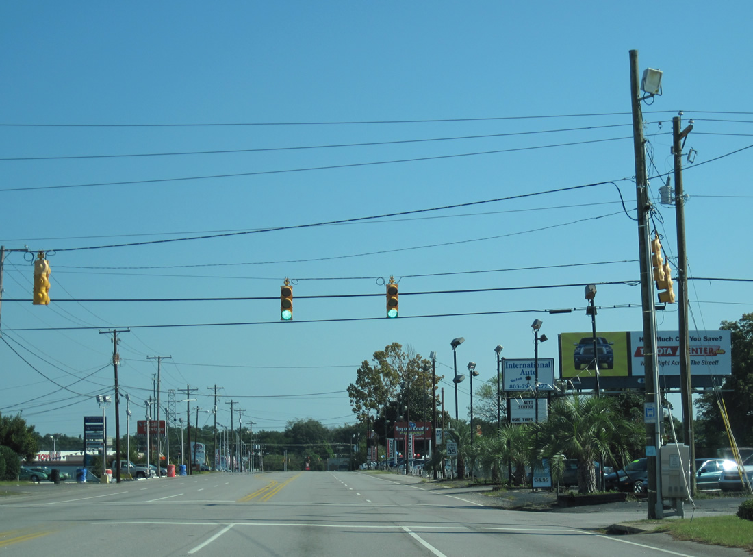
S.C. 302 concludes at U.S. 21-176-321 (Charleston Highway) in West Columbia.
10/03/10
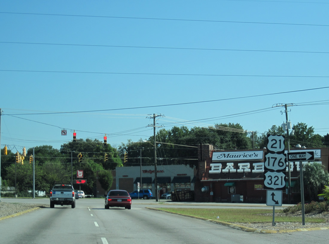
The intersection of Airport Boulevard and Charleston Highway includes legs with Williams Street west to S.C. 602 and Middleton Street south. U.S. 21-176-321 follow Charleston Highway northeast to Knox Abbott Drive east through north Cayce and Columbia nearby.
10/03/10
West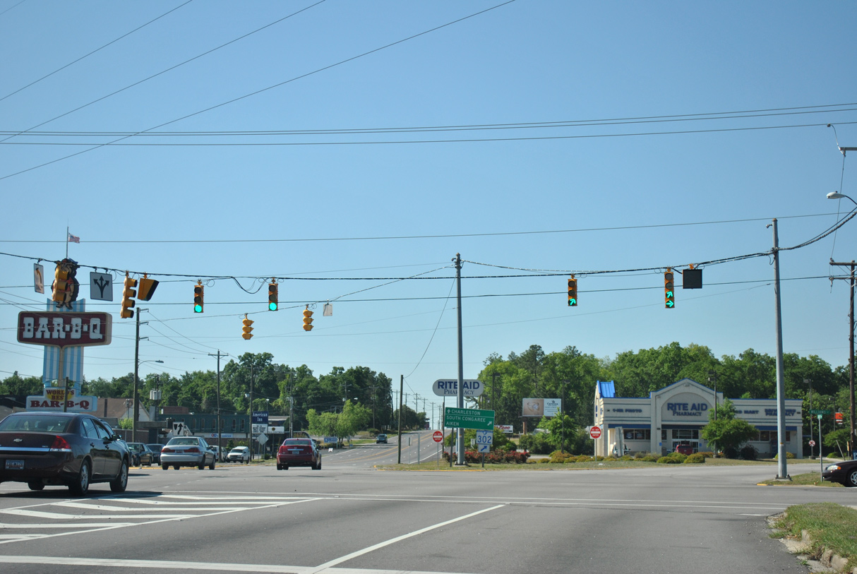
S.C. 302 branches west from U.S. 21-176-321 (Charleston Highway) at a commercialized five point intersection with Williams and Middleton Streets. Williams Street angles 0.52 miles northwest to S.C. 602 (Platt Springs Road) at Dreher Road (Road 275) in West Columbia.
04/14/12
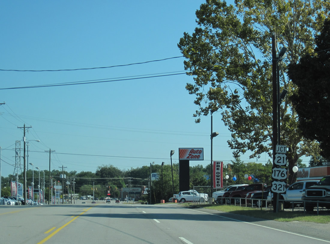
U.S. 321 continues 5.5 miles south from S.C. 302 (Airport Boulevard) to partition with U.S. 21/176 turning eastward toward Charleston.
04/14/12
Airport Boulevard comprises a commercial boulevard from U.S. 21-176-321 southwest toward the CAE Airport.
04/14/12
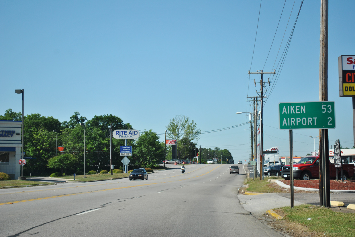
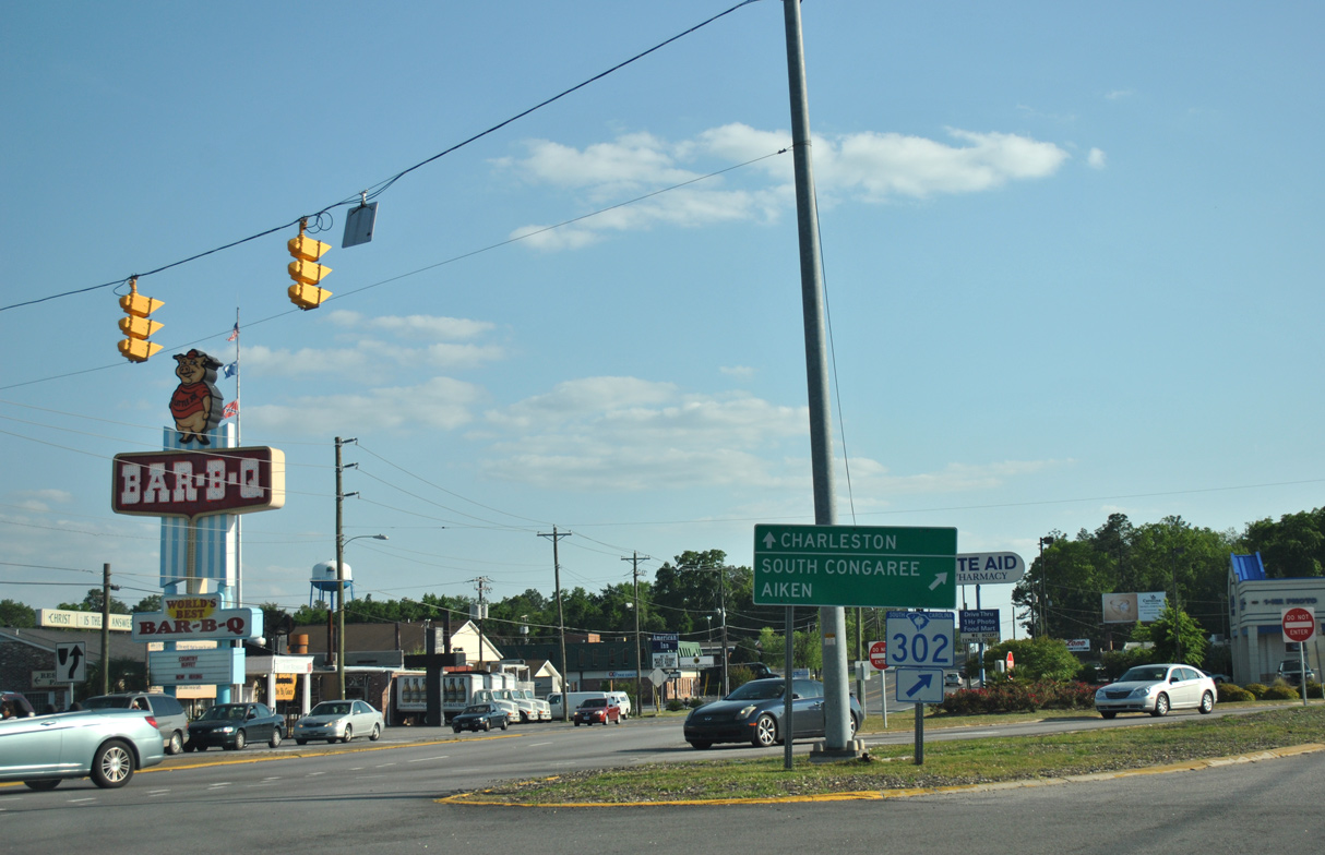
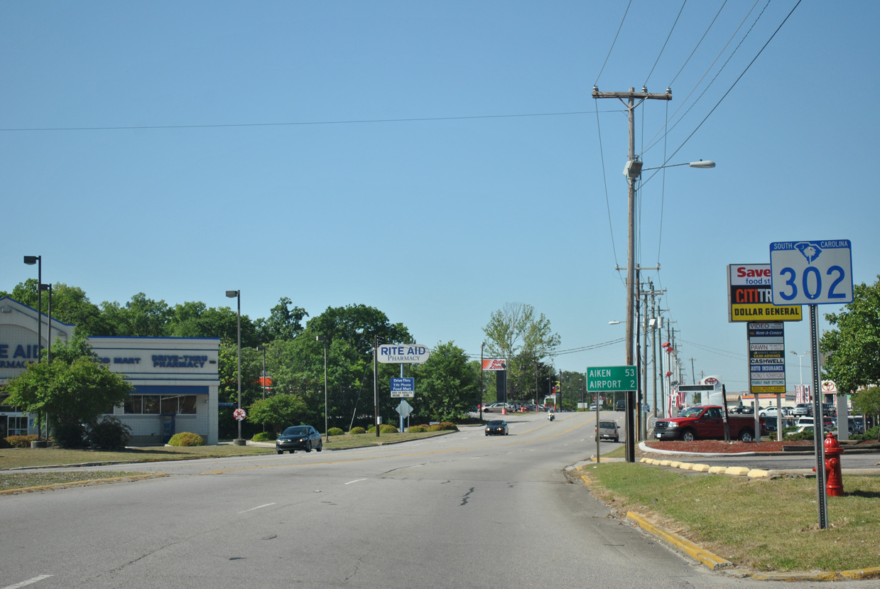
S.C. 302 extends 53 miles southwest to Aiken and 66 miles to S.C. 125 near Jackson.
04/14/12
Glenn Street (Road 166) runs along the West Columbia and Cayce city line across S.C. 302 (Airport Boulevard) north to S.C. 602 and 0.49 miles east to Dunbar Road in a residential area beyond U.S. 21-176-321.
04/14/12
Sox Street (Road 165) branches south from Glenn Street in West Columbia to become Memorial Drive south 0.95 miles from S.C. 302 to Charleston Highway.
04/14/12
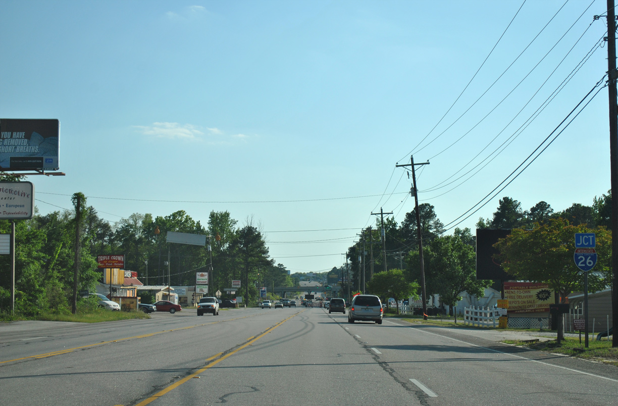
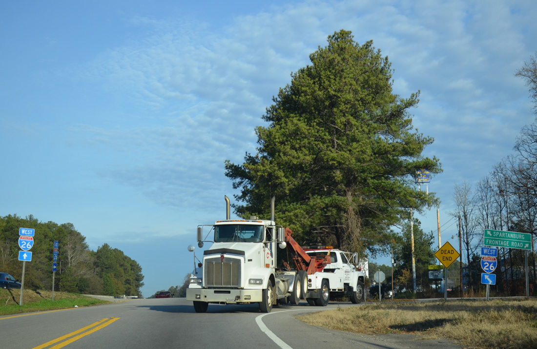
S.C. 302 (Airport Boulevard) approaches a diamond interchange with Interstate 26 along the Springdale and Cayce city line next.
04/14/12
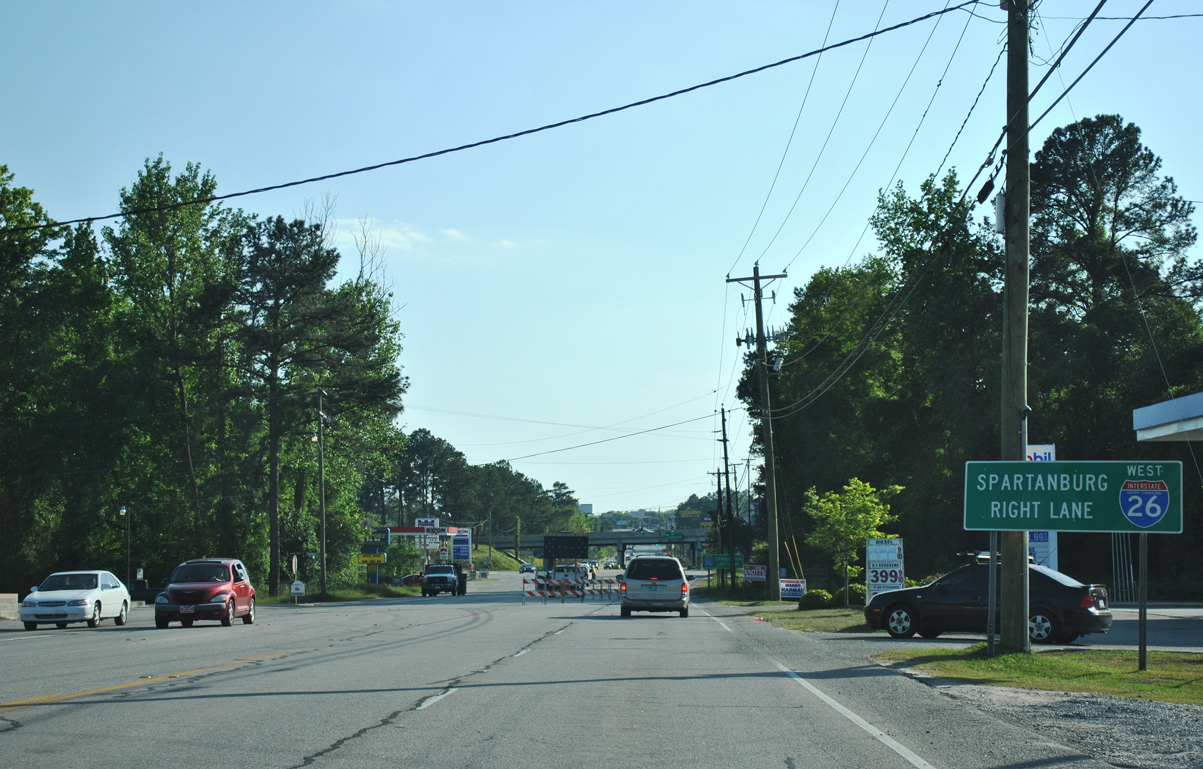
The westbound entrance ramp to Spartanburg and Greenville departs from S.C. 302 (Airport Boulevard) first.
04/14/12
Interstate 26 curves southeast from S.C. 302 through southwestern Cayce, meeting U.S. 21-176-321 and I-77 north, before leaving the city en route to Orangeburg and Charleston.
04/14/12
scenes
Interstate 26 trailblazer posted where Commerce Drive overtakes the westbound exit ramp from I-26 to S.C. 302 (Airport Boulevard). Commerce Drive links S.C. 302 with a hotel and an industrial park.
12/31/12
Commerce Drive north at S.C. 302 (Airport Boulevard). S.C. 302 links I-26 at Exit 113 with Columbia Metropolitan Airport (CAE) to the west and Cayce to the east.
12/31/12
Cherokee Lane stems north from the intersection with S.C. 302 (Airport Boulevard) and Commerce Drive to the westbound entrance ramp for I-26. The frontage road serves a handful of industrial businesses.
12/31/12
Photo Credits:
- ABRoads: 10/03/10
- AARoads: 04/14/12, 12/31/12
Connect with:
Page Updated Monday February 11, 2013.