
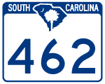
Highway 462
S.C. 462 forms a 35.92 mile long loop east from U.S. 321 (Cotton Hill Road) at Robertville to Coosawhatchie and south to S.C. 170 (Okatee Highway) near the Oldfield golf course development along the Okatee River.
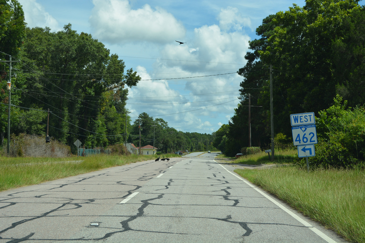
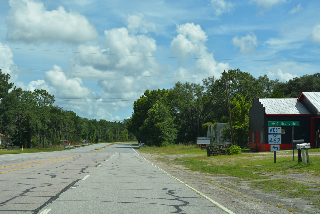
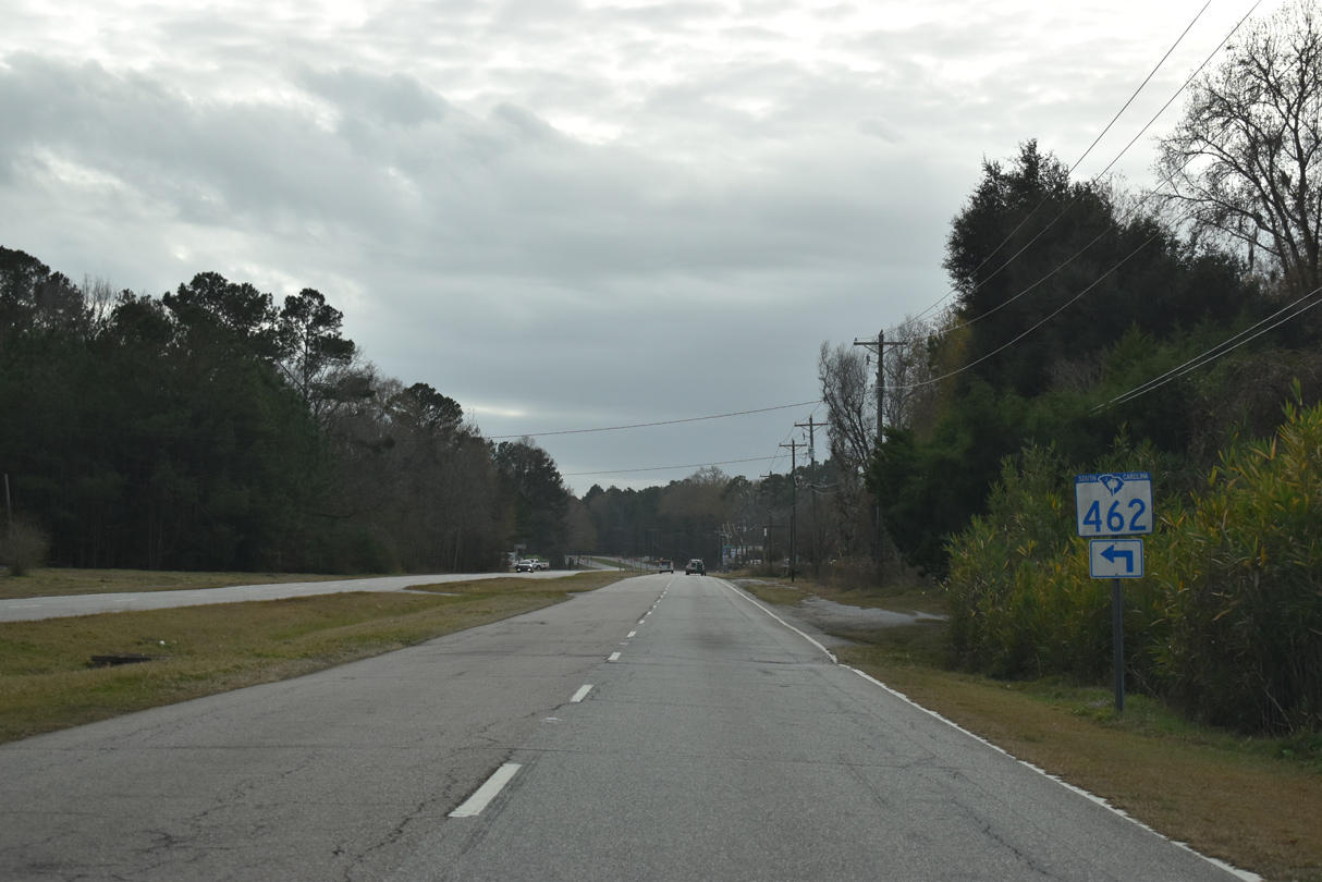
Following Gillison Branch Road, S.C. 462 arcs 12.71 miles eastward from U.S. 321 to U.S. 601 (Cypress Branch Road) near Pineland and U.S. 278 (Grays Highway) at Gillisonville. S.C. 462 turns south alongside U.S. 278 for 0.82 miles before resuming east along Morgandollar Road 3.99 miles to Frontage Road (old U.S. 17) at Coosawhatchie.
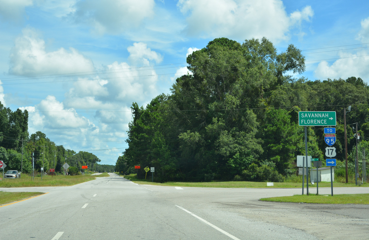
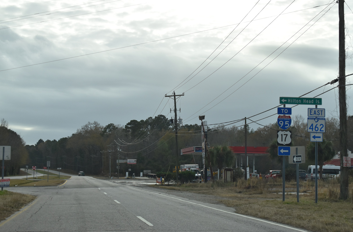
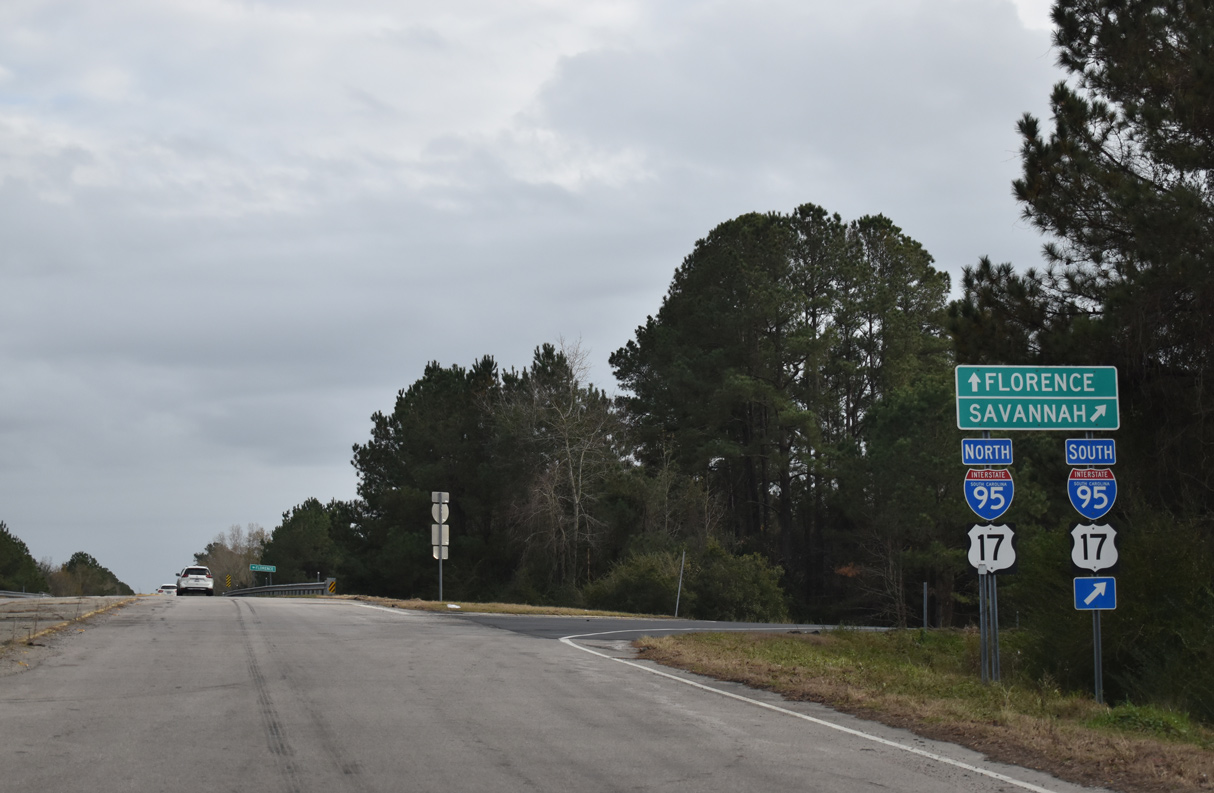
S.C. 462 angles southwest along a 0.59 mile long section of old U.S. 17 bypassed by nearby Interstate 95. Leading southeast from Coosawhatchie along Coosaw Scenic Drive, S.C. 462 meets I-95/U.S. 17 adjacent to Little Bees Creek en route to Huguenins Neck.
S.C. 462 (Coosaw Scenic Highway) advances south to Old House, where the highway meets S.C. 336 (Old House Road) west to Ridgeland. S.C. 336 west to U.S. 17/278 and S.C. 462 south to S.C. 170 (Okatie Highway) represent the alignment U.S. 278 took until 1996.
 East
East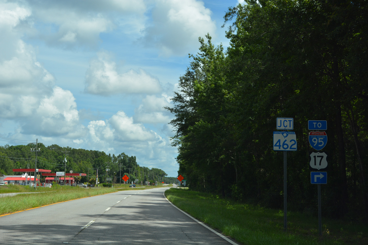
12/30/20
12/30/20
12/30/20
12/30/20

12/30/20
12/30/20

12/30/20
12/30/20
12/30/20
WestPhoto Credits:
- Alex Nitzman: 12/30/20
Connect with:
Page Updated Monday December 05, 2022.