
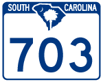
Highway 703
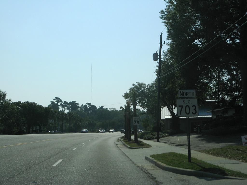
S.C. 703 travels an L-shaped route 10.93 miles from the east end of the Arthur Ravenel, Jr. Bridge through Mt. Pleasant to Sullivans Island and the Isle of Palms on the Atlantic Ocean. Oddly, S.C. 703 is signed as a north-south route, with north banners applying to the easterly direction.
 North
North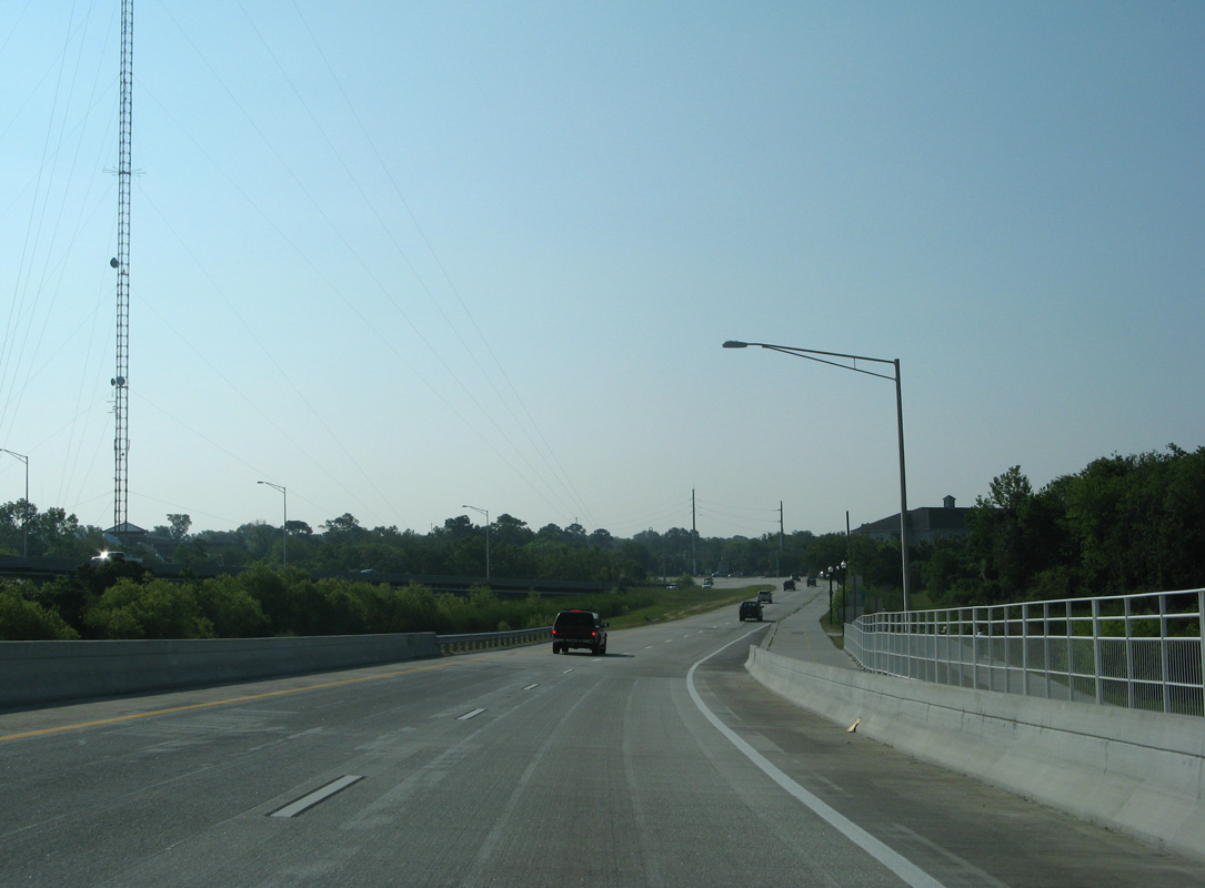
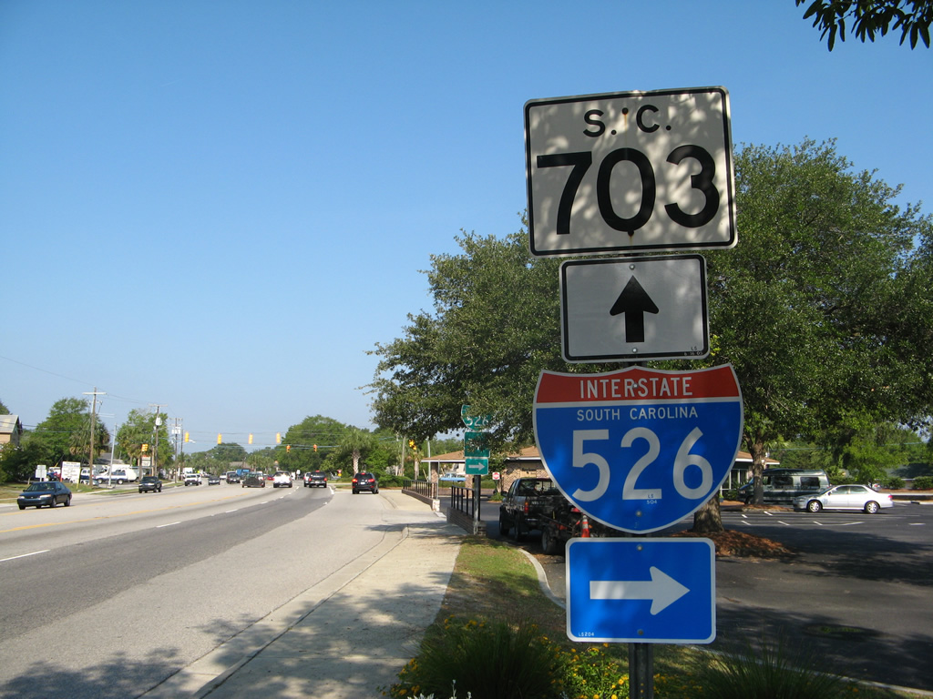
S.C. 703 branches south from U.S. 17 at the east end of the Arthur Ravenel, Jr. Bridge ahead of Patriots Point Road south and Magrath Darby Boulevard north.
05/30/07
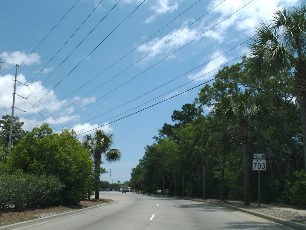
The first confirming marker for S.C. 703 northbound stands beyond Patriots Point Road along Coleman Boulevard.
05/27/07
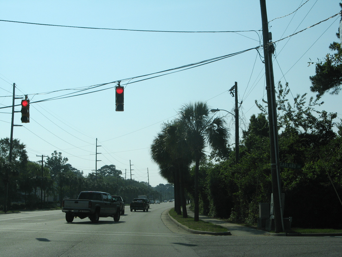
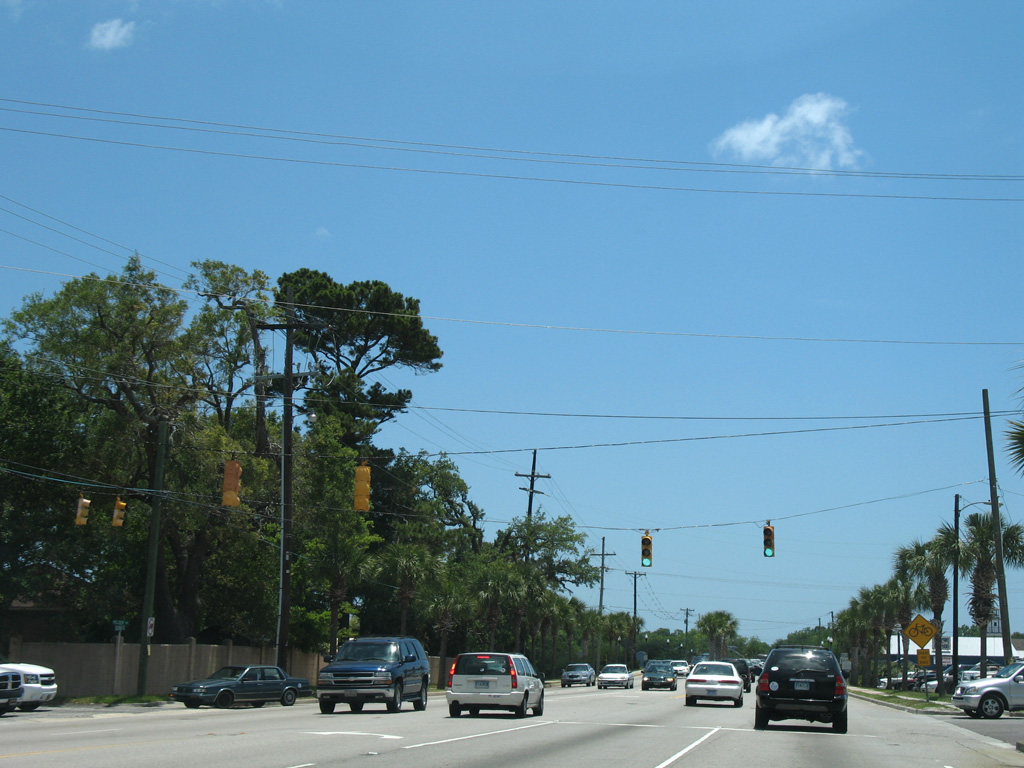
Garland Drive north and Houston Northcutt Boulevard south come together at a signalized intersection with S.C. 703 (Coleman Boulevard).
05/30/07

The succeeding signal along Coleman Boulevard eastbound is with Broadway Street and Lansing Drive.
05/27/07
Pelzer Drive ties into S.C. 703 at this signal from residential areas north of Shem Creek.
05/27/07
S.C. 703 spans Shem Creek beyond this former northbound reassurance marker.
01/18/04
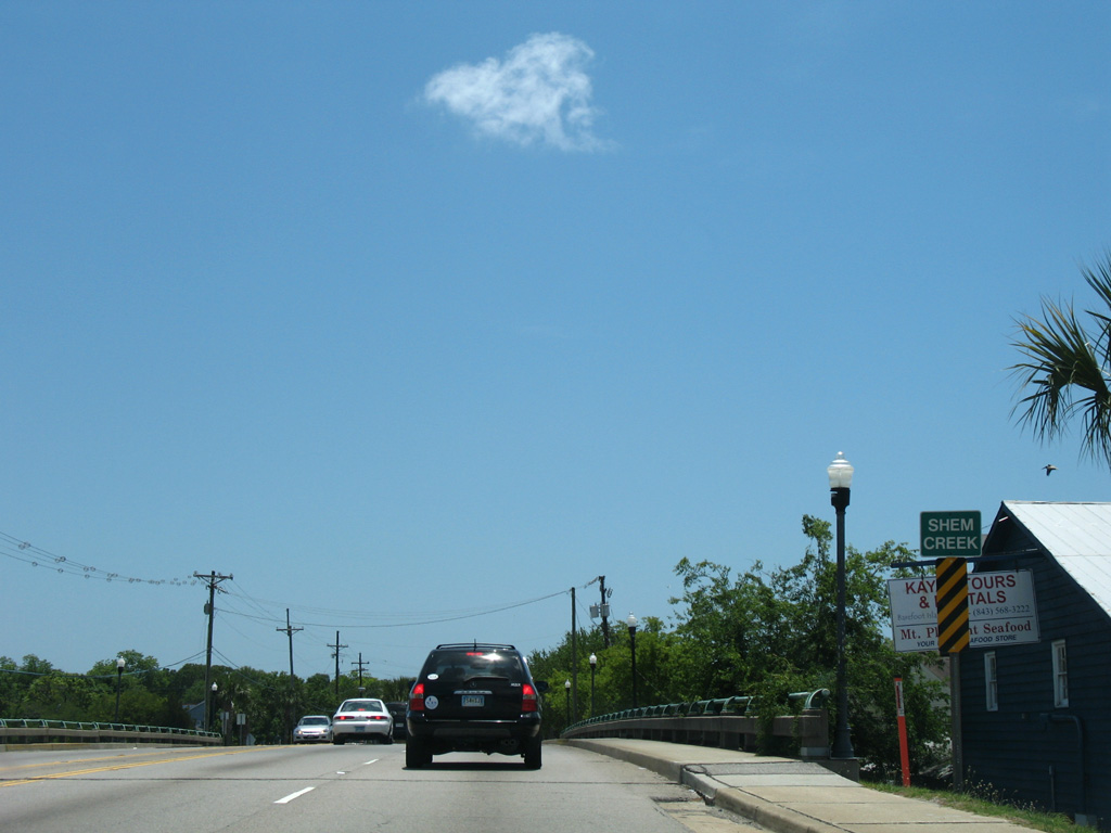
The Shem Creek Bridge dates back to 1947. Shem Creek flows into Hog Island Channel just southwest of S.C. 703 at Haddrell Point.
05/27/07
S.C. 703 (Coleman Boulevard) bends east from Whilden Street ahead of a commercial strip toward Sullivan's Island.
05/30/07

S.C. 703 trends northward east to Fairmount Avenue. Gentrification along this stretch since 2011 includes The Boulevard mixed use development.
05/27/07
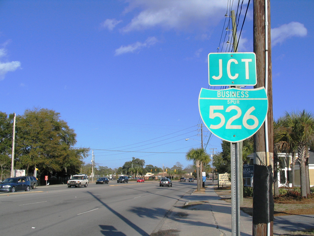
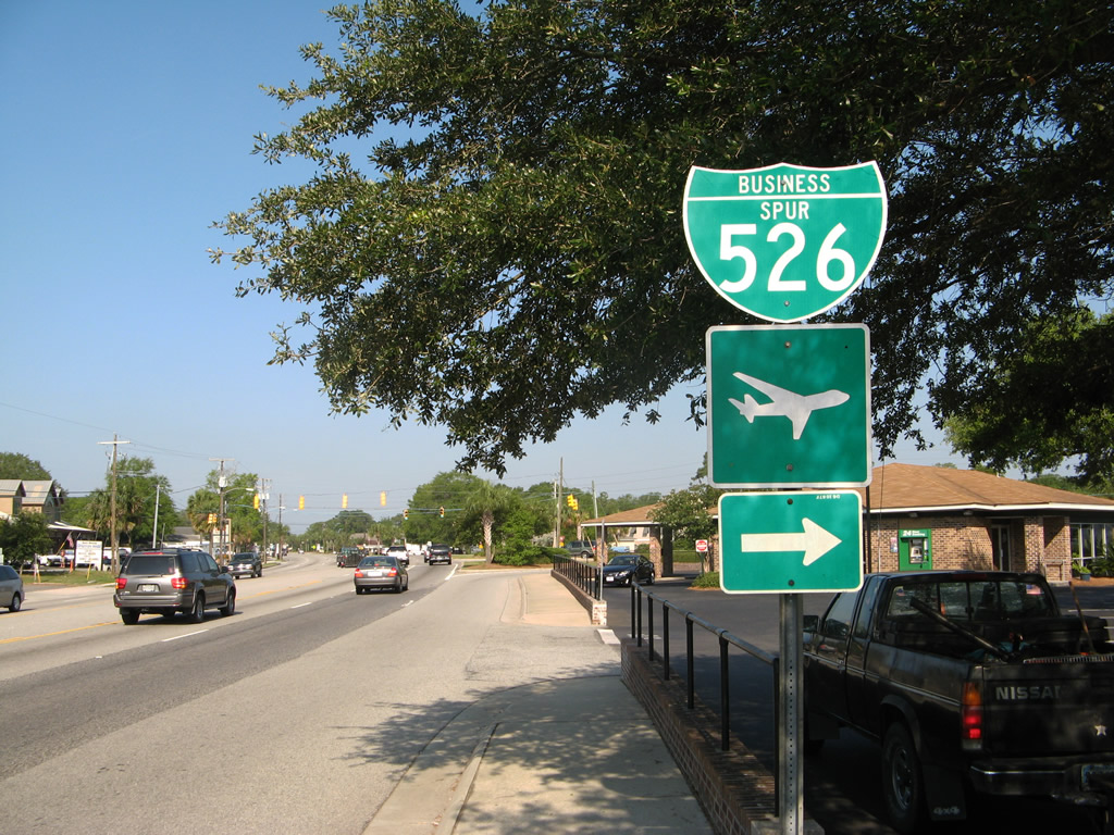
Coleman Boulevard winds eastward to meet Business Spur I-526 (Chuck Dawley Boulevard) ahead of the S.C. 703 transition to Ben Sawyer Boulevard south. Business Spur I-526 overlays the former Ocean Highway northeast back to U.S. 17.
01/18/04
05/30/07
Chuck Dawley Boulevard comprises a five lane arterial 1.3 miles east from S.C. 703 to the U.S. 17 northbound on-ramp.
05/30/07
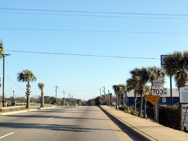
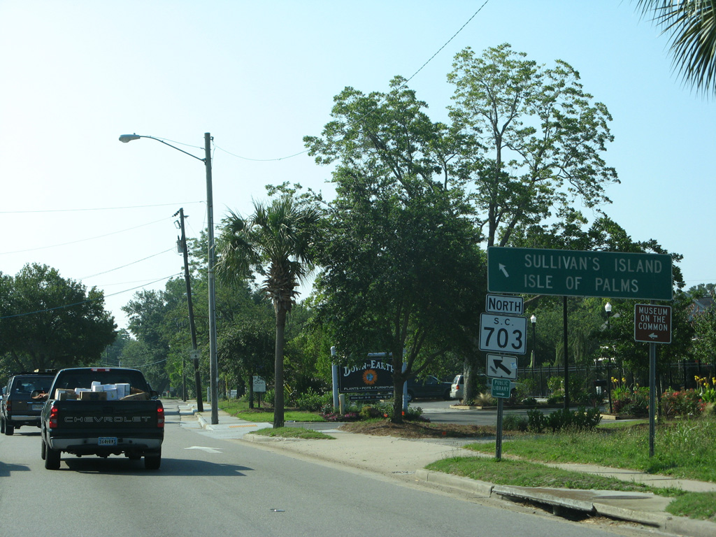
S.C. 703 north follows Ben Sawyer Boulevard south 2.7 miles across the Intracoastal Waterway to Sullivans Island. Jasper Boulevard carries the state highway east from there to Isle of Palms.
05/30/07
South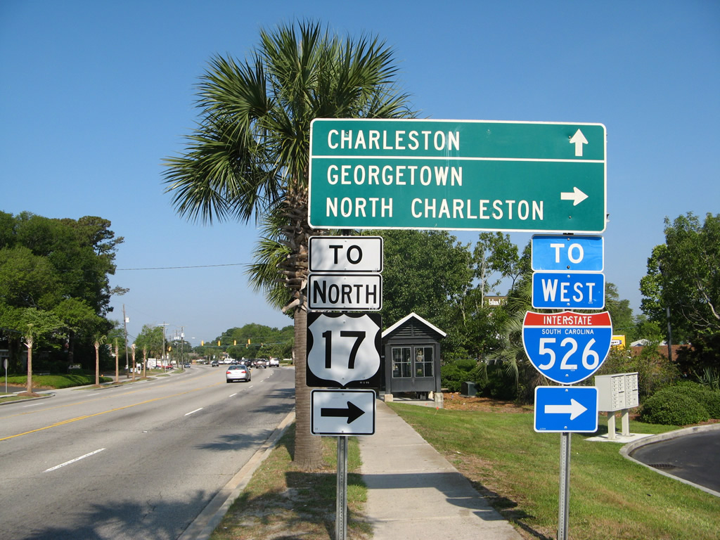
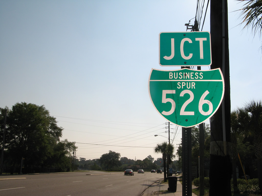
Ben Sawyer Boulevard arcs northwest to meet the west end of Business Spur I-526 (Chuck Dawley Boulevard) ahead of the transition to Coleman Boulevard. Chuck Dawley Boulevard provides a direct link for Sullivans Island travelers bound for U.S. 17 to Georgetown and I-526 to North Charleston.
05/30/07
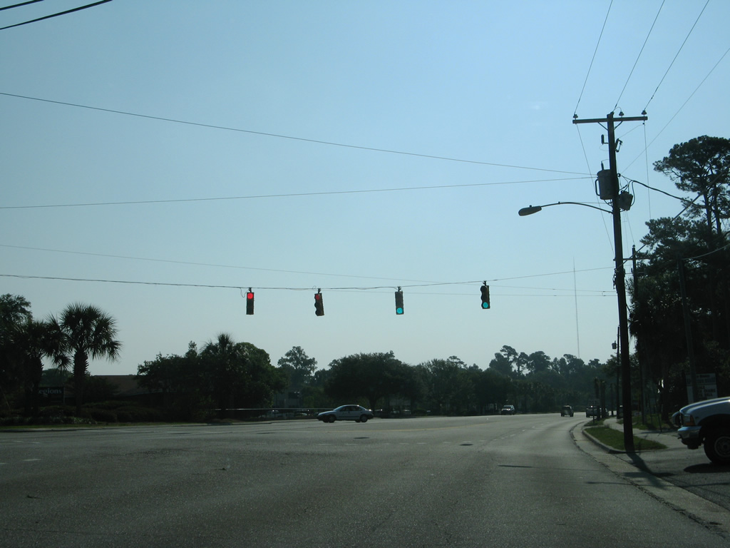
S.C. 703 follows Coleman Boulevard west 2.6 miles to end at wye interchange with the Arthur Ravenel, Jr. Bridge west into Charleston.
05/30/07
Business Spur I-526 was established in 1992 over the former Old Georgetown Highway. Coleman Boulevard west and Chuck Dawley Boulevard east were signed as a Business Loop for U.S. 17 until 1991, when I-526 (Mark Clark Expressway) opened in Mount Pleasant. The business loop was established in the mid-1960s when U.S. 17 was relocated to the north on what is now known as Johnnie Dodds Boulevard.1
05/30/07
Ben Sawyer Boulevard becomes Coleman Boulevard west as S.C. 703 south overtakes the former alignment of U.S. 17-701.
05/30/07
scenes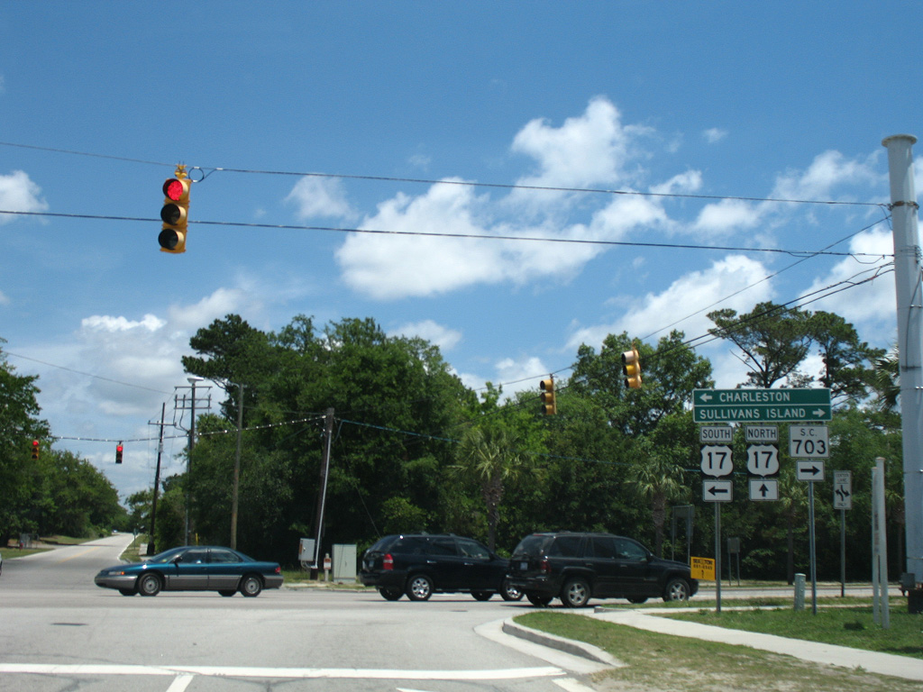
Patriots Point Road north at S.C. 703 (Coleman Boulevard) and Magrath Darby Boulevard.
05/27/07
References:
- "Roads play name game." Post and Courier (Charleston, SC), February 15, 1996.
Photo Credits:
- Andy Field: 05/30/07
- Alex Nitzman: 05/27/07
- Alex Nitzman, Carter Buchanan: 01/18/04
Connect with:
Page Updated Saturday September 15, 2018.