
Highway 10
SD 10 is a rural highway stretching 193 miles across the northern tier of the state between Pollock and the Minnesota state line east of Peever.
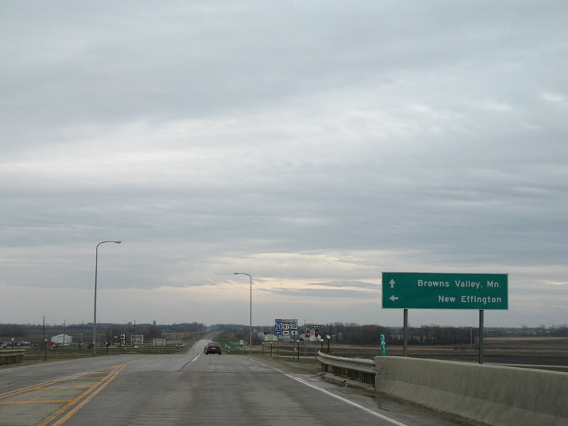
East of Sisseton, SD 10 (119th Street) meets Interstate 29/U.S. 81 at a diamond interchange (Exit 232).
04/22/07
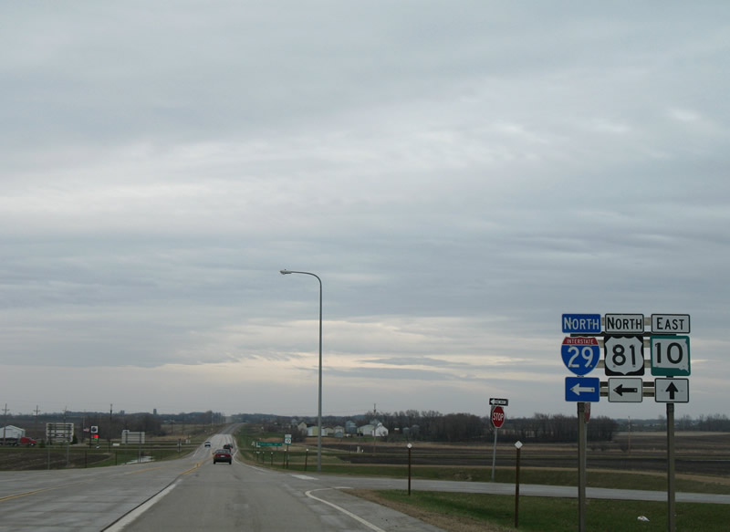
The northbound Interstate 29/U.S. 81 on-ramp carries drivers to New Effington and Fargo. SD 10 continues east toward Browns Valley.
04/22/07
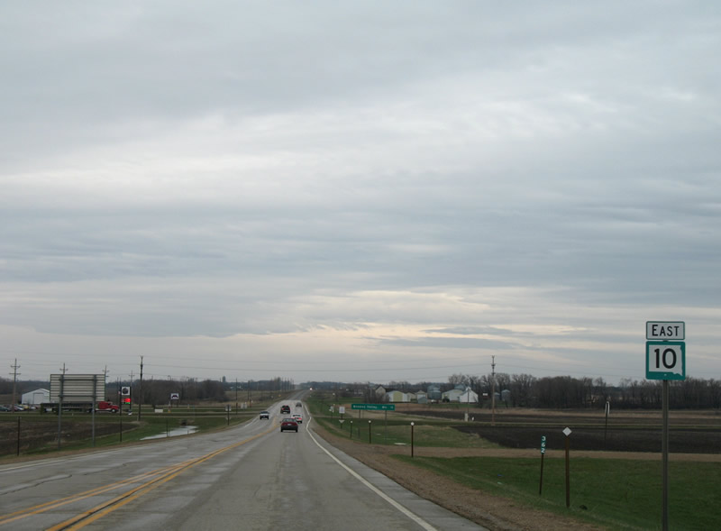
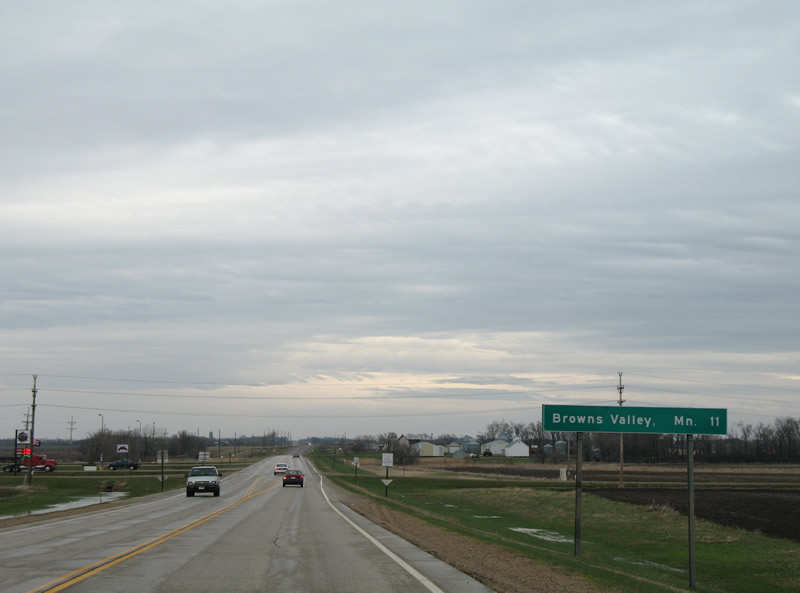
Reassurance shield posted along SD 10 beyond Interstate 29/U.S. 81. Browns Valley represents the next destination and it lies just east of Lake Traverse.
04/22/07
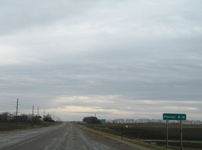
Approaching Roberts County Road 20 (463rd Avenue) on SD 10 east. CR 20 ventures eight miles south to CR 5 near Peever.
04/22/07
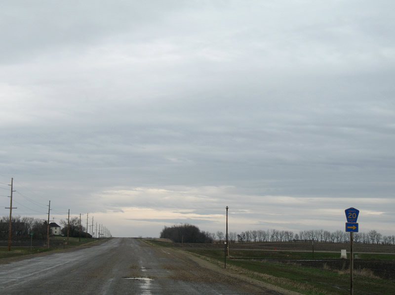
CR 20 shield posted at 463rd Avenue on SD 10 east. The condition of SD 10's pavement at the time of this photograph was rough or unpaved and indicative of the SDDOT repaving schedule. Two-year projects first involve rebuilding the road bed and next adding a layer of pavement.
04/22/07
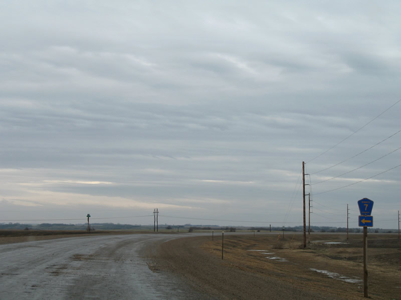
SD 10 curves southward from 119th Street toward the south end of Lake Traverse. CR 7 stems north from the state highway via 466th Avenue here.
04/22/07
Reassurance shield posted on the southward curve from 119th Street.
04/22/07

The road condition worsened to pot-hole laden dirt on SD 10 east at CR 33 (122nd Street). County Road 33 spurs west to former U.S. 81 (459th Avenue).
04/22/07
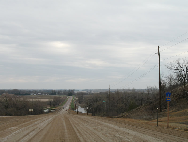
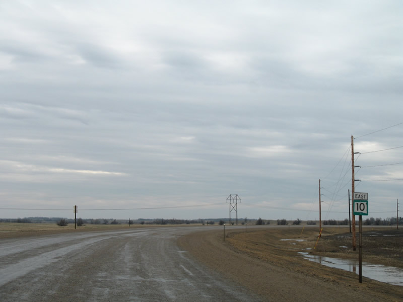
Descending into the Lake Traverse valley on SD 10 east. Roberts County Road 2 ties into the state highway just west of the Minnesota state line. CR 2 straddles western reaches of Lake Traverse north to CR 7.
04/22/07
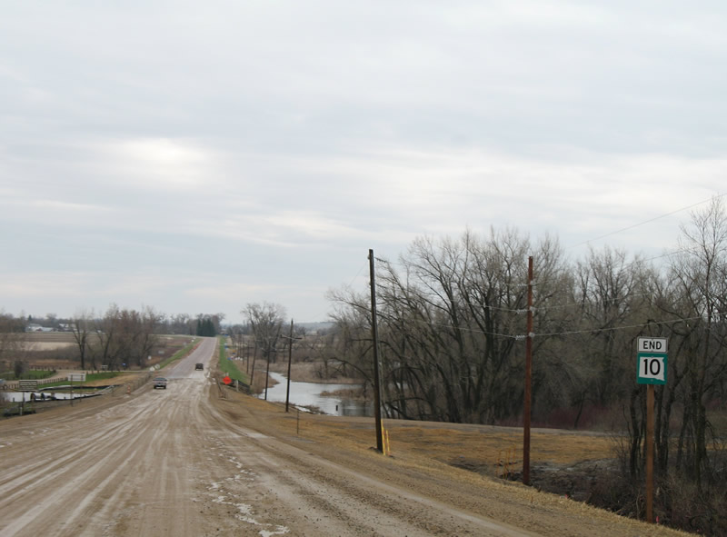
An end sign appears for SD 10 just ahead of the Minnesota state line.
04/22/07
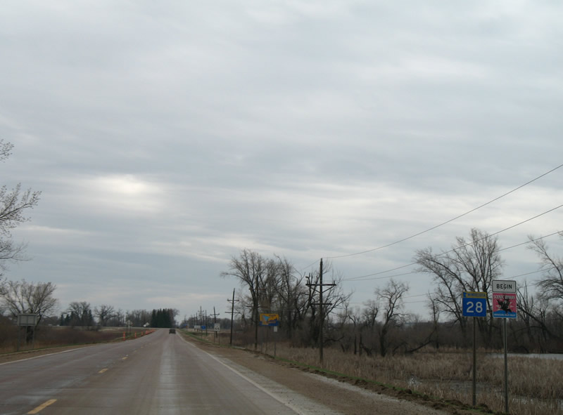
SD 10 transitions into MN 28 outside of Browns Valley. The trunk highway doubles as the Minnesota River Valley Scenic Highway.
04/22/07
Photo Credits:
- Alex Nitzman: 04/22/07
Connect with:
Page Updated Wednesday March 26, 2008.