
Highway 50
SD 50 stretches 212.4 miles across southeastern reaches of the Mount Rushmore State between Lee's Corner in the Crow Creek Indian Reservation to the Iowa state line east of Richland. The state highway provides a mostly four lane route between Yankton, Vermillion and I-29 at Junction City.
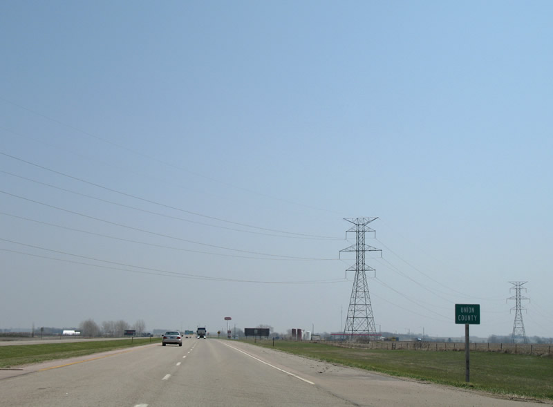
Entering Union County on the six mile drive between Vermillion and Interstate 29.
04/20/07
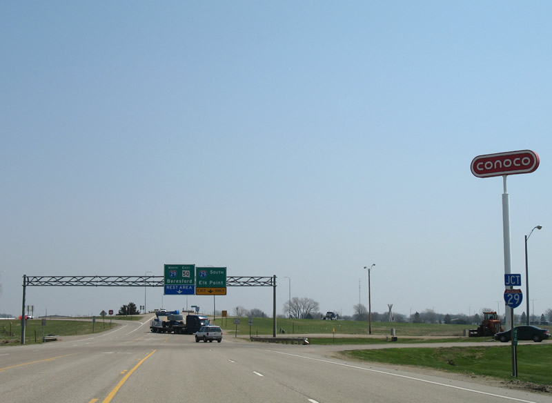
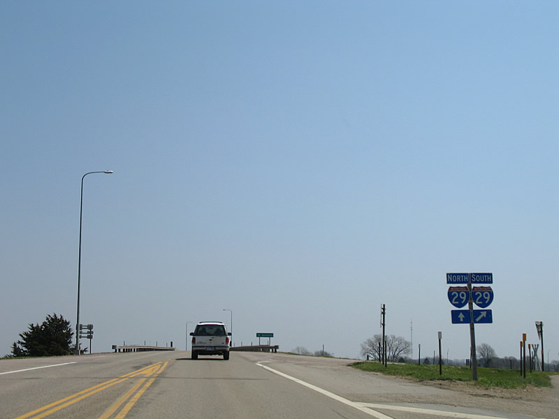
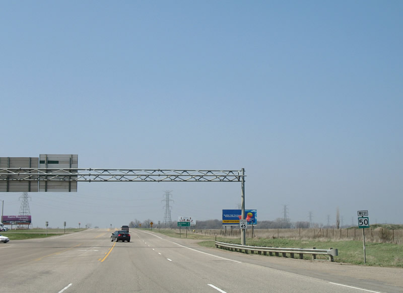
Approaching Interstate 29 on SD 50 east. A diamond interchange (Exit 26) joins the two highways.
04/20/07
The four lane section of SD 50 ends at Interstate 29.
I-29 ventures south eight miles to Elk Point and 30 miles to Sioux City, Iowa.
04/20/07
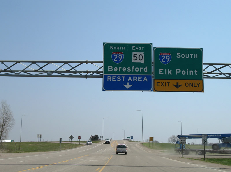
Interstate 29 shields posted at the southbound entrance ramp from SD 50 east.
04/20/07
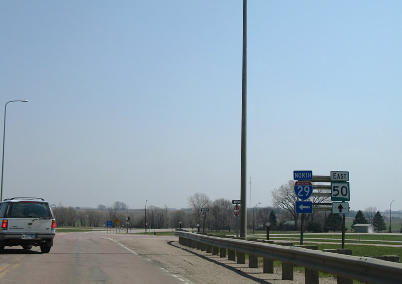
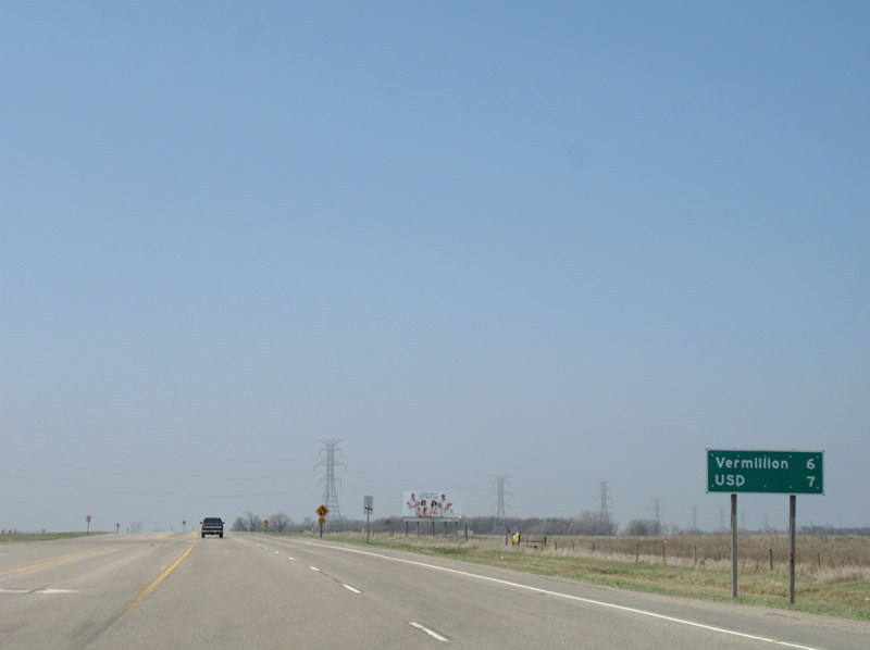
SD 50 east at the northbound on-ramp to Interstate 29. I-29 next reaches Beresford on the 49 mile drive to Sioux Falls. A rest area serving both the freeway and state highway lies east of Exit 26. SD 50 otherwise reaches Richland in eight miles.
04/20/07
SD 50 westbound at the diamond interchange (Exit 26) with Interstate 29. The state highway crosses paths with the freeway midway between Richland and Yankton.
04/20/07
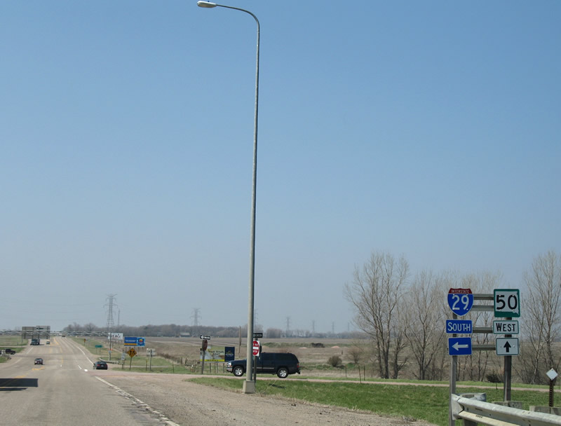
Interstate 29 continues south to Elk Point and Sioux City, Iowa from SD 50. Leading west from I-29, SD 50 widens to four lanes to Vermillion.
04/20/07
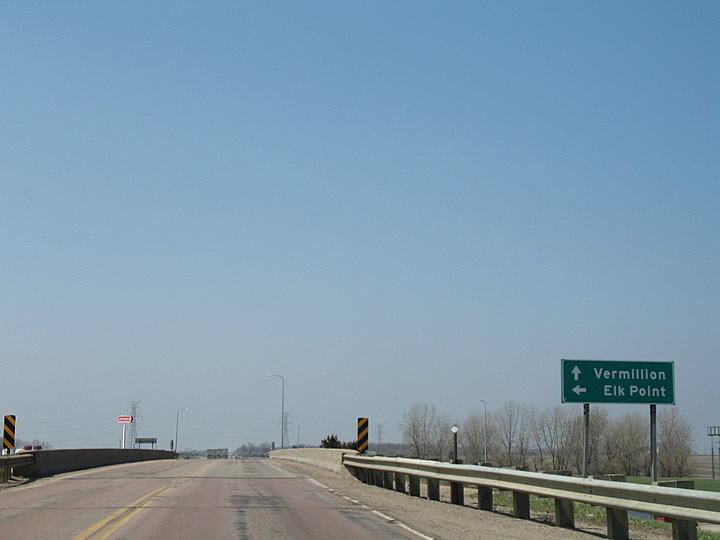
Reassurance shield posted along SD 50 west on the six mile drive to Vermillion. Vermillion is the home of the University of South Dakota.
04/20/07
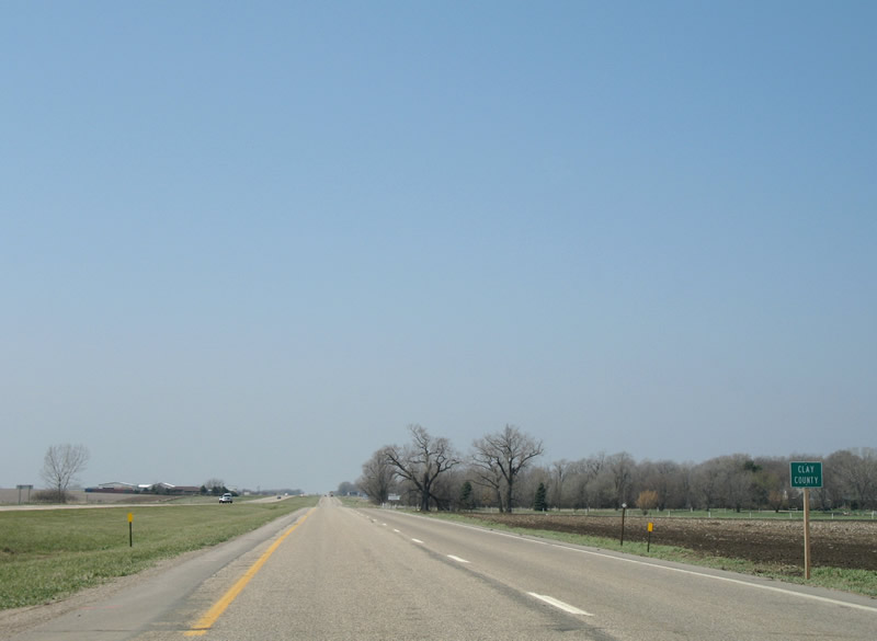
Crossing into Clay County on SD 50 west.
04/20/07
Photo Credits:
- Alex Nitzman: 04/20/07
Connect with:
Page Updated Tuesday March 31, 2015.