
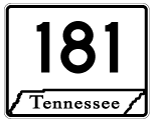
State Route 181
Tennessee State Route 181 is a rural highway paralleling the Mississippi River for 24.99 miles west of Dyersburg. SR 181 originates in northern Lauderdale County from SR 88 east of Hales Point and just south of Moss Island. Straddling the Mississippi River levee system, SR 181 (Great River Road) angles northwest across Dyer County toward Midway before turning northeast to SR 104 east of Heloise.
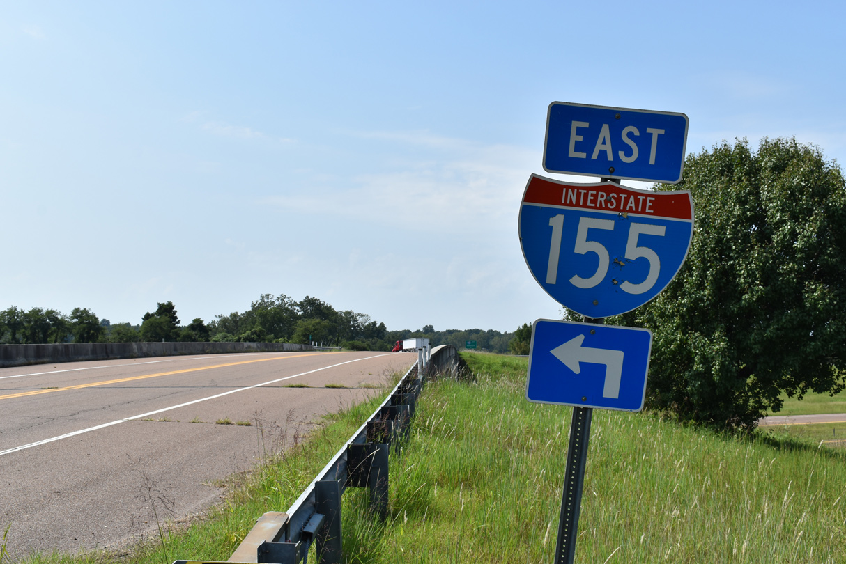
A rural diamond interchange joins SR 181 (Great River Road) with I-155/U.S. 412 south of Boothspoint and Whites Lake. North from there, SR 181 meets SR 103 east of Tennemo before crossing into Lake County. SR 181 curves east to a end at SR 79, which was realigned to meet SR 181 at a right angle.
SR 181 (Great River Road) heads northeast along the Mississippi River levee system from SR 104 to a diamond interchange (Exit 2) with I-155/U.S. 412.
09/09/20
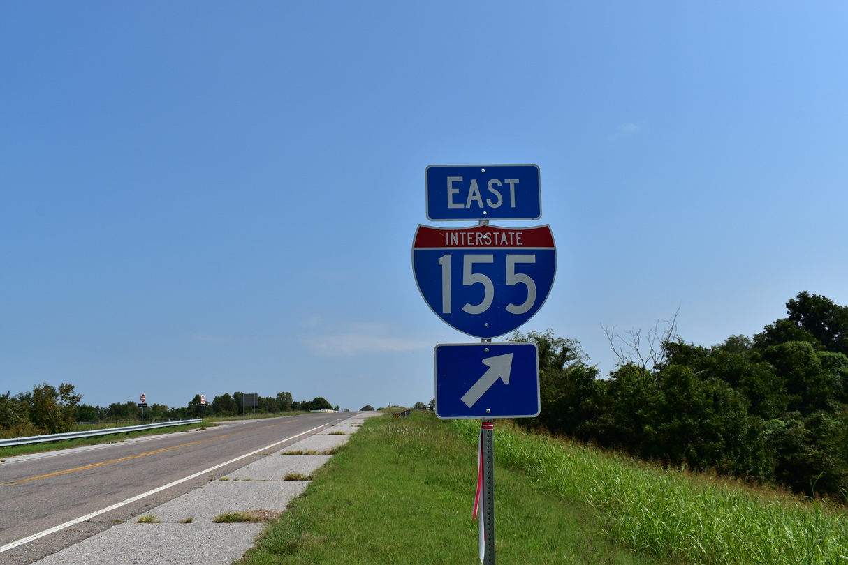
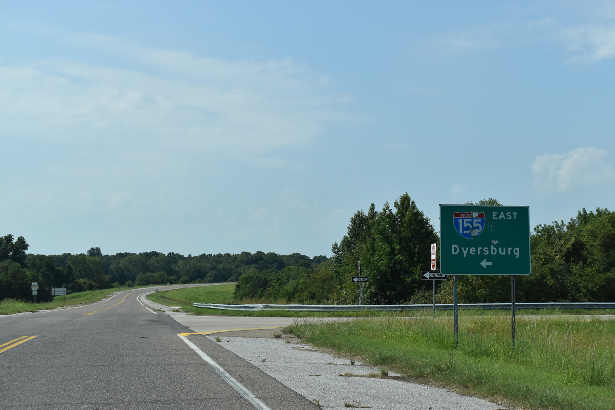
I-155/U.S. 412 run 10.7 miles east to SR 78 (Lake Road) in the city of Dyersburg.
09/09/20
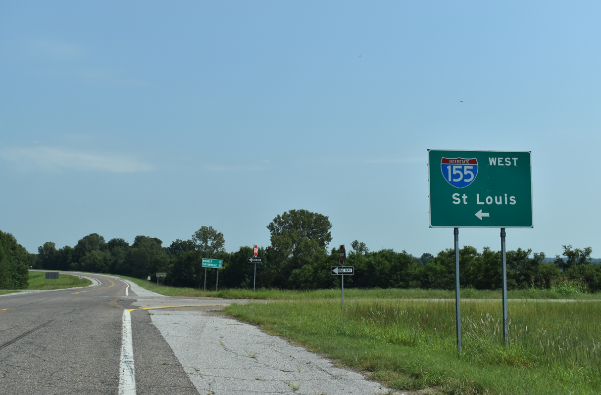
I-155/U.S. 412 connect with I-55/U.S. 61 outside Hayti in 12.8 miles.
09/09/20
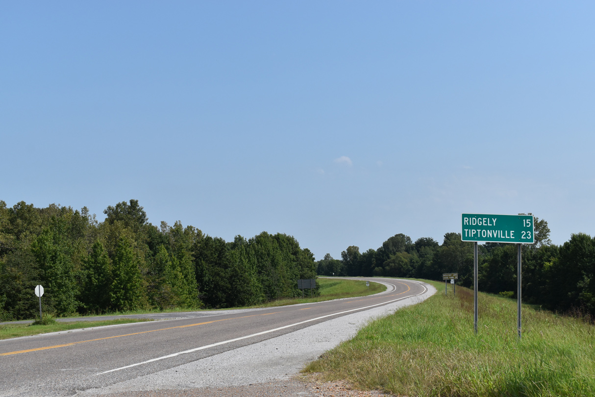
Located 15 miles from the exchange with I-155/U.S. 412, the town of Ridgely lies beyond the north end of SR 181 along SR 78.
09/09/20
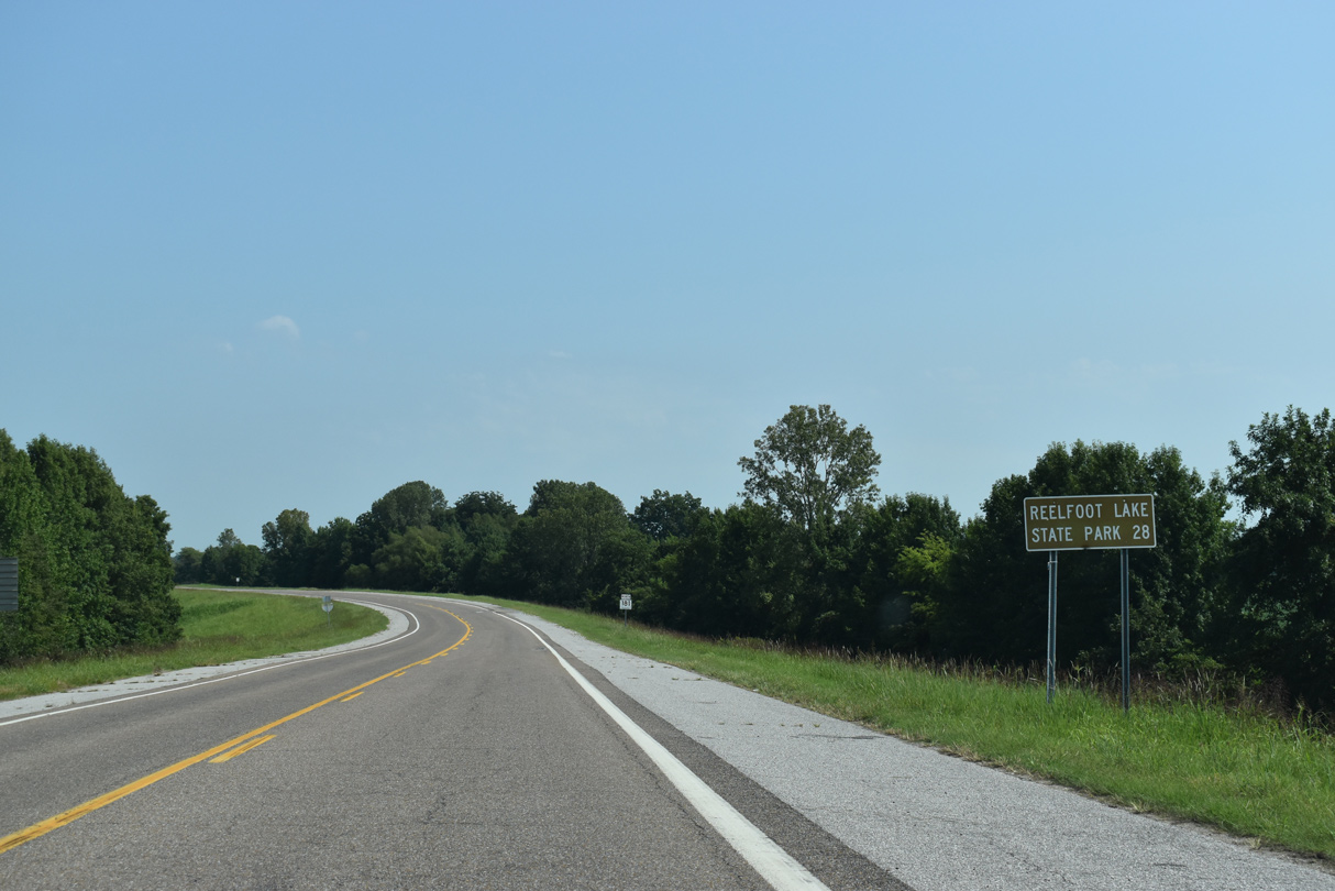
Reelfoot Lake State Park lies further north along SR 78 beyond the Lake County seat of Tiptonville.
09/09/20
SR 181 is signed as a primary route north from Interstate 155.
09/09/20
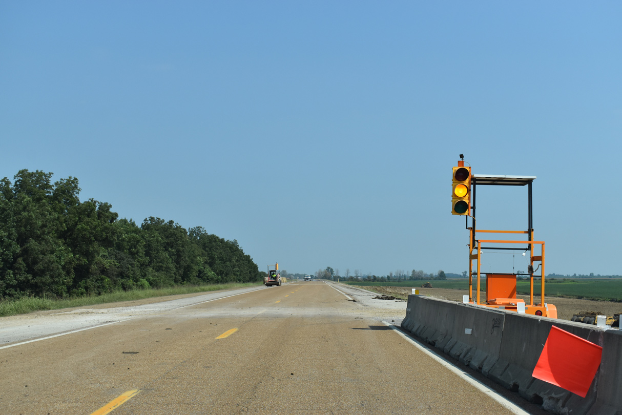
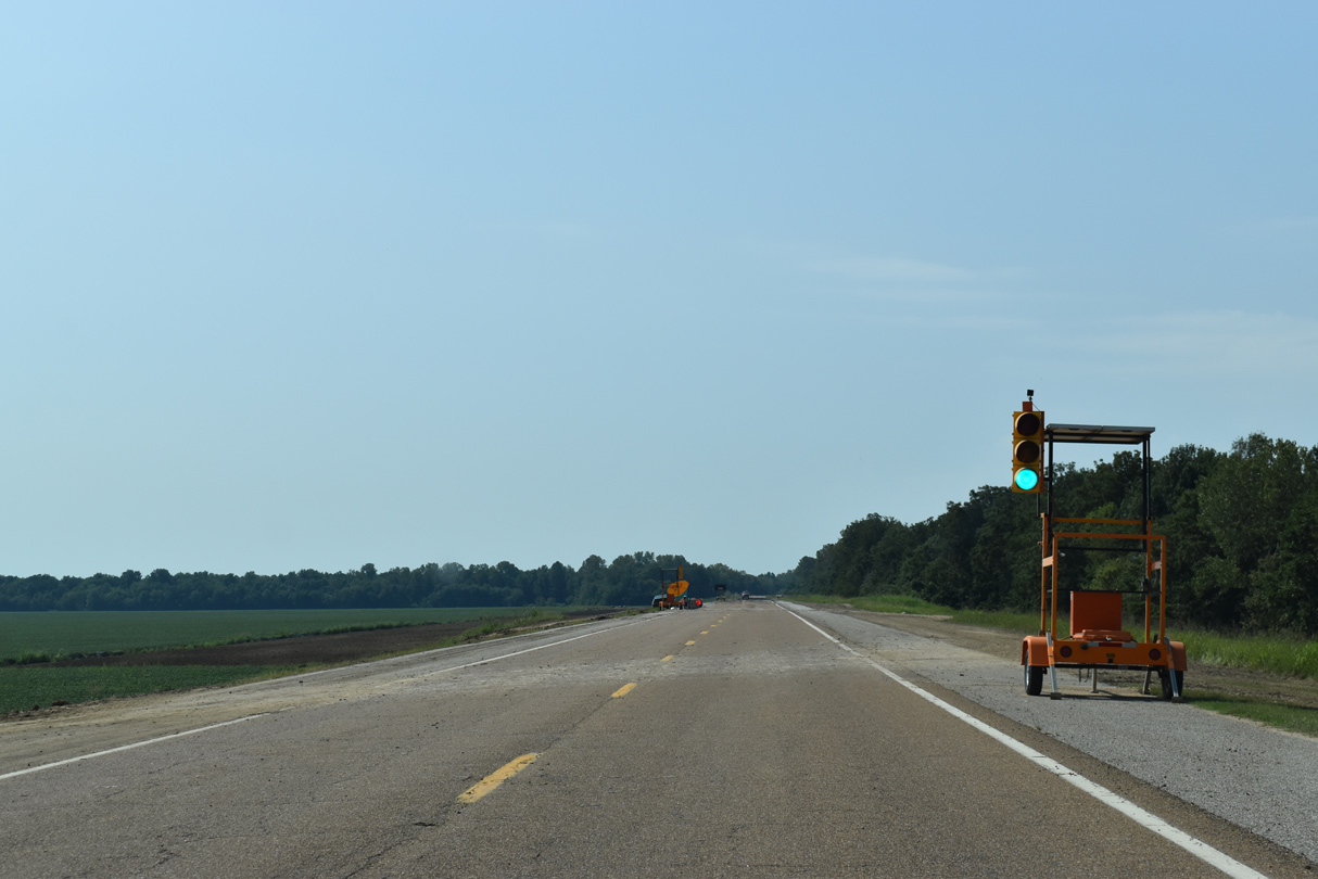
Temporary construction signal along SR 181 (Great River Road) within the vicinity of Whites Lake.
09/09/20

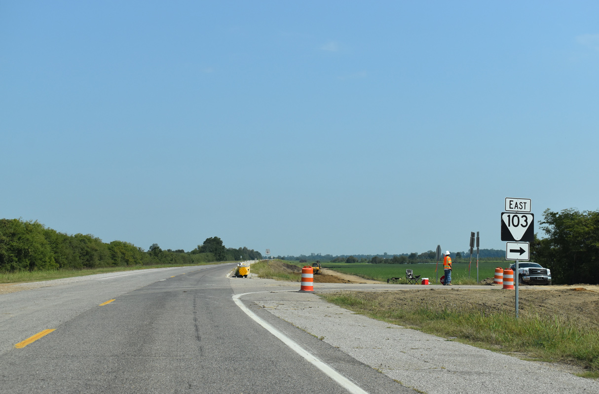
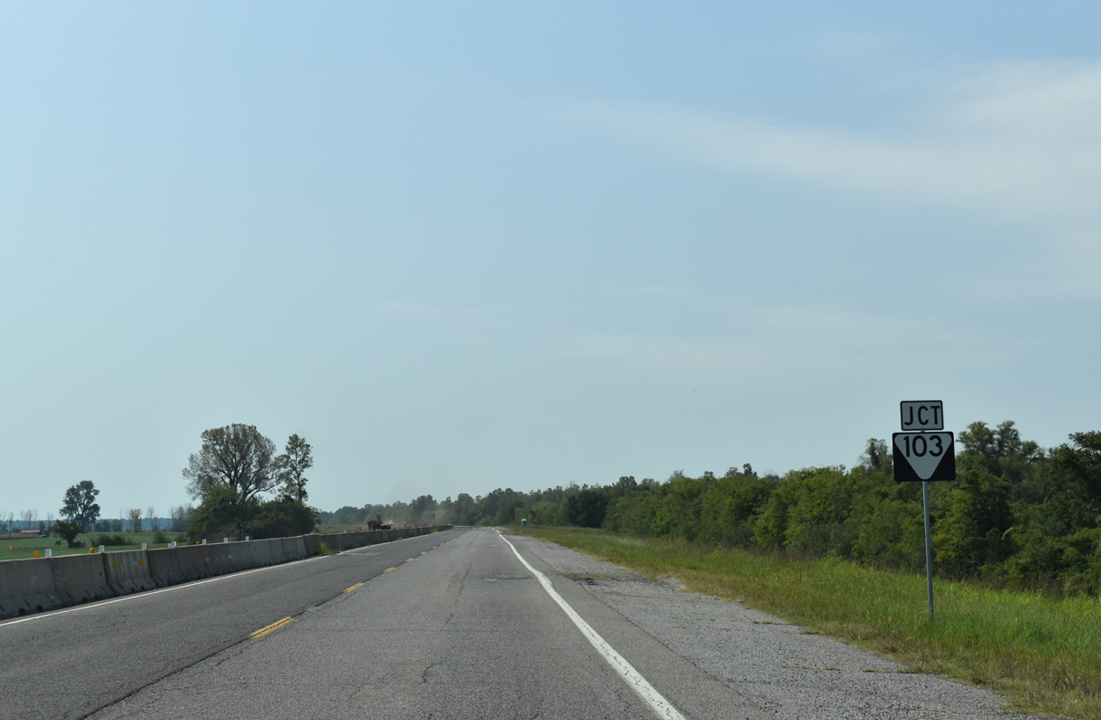
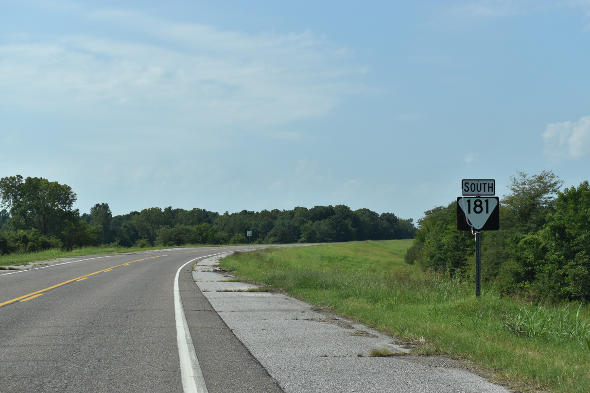
SR 103 meets SR 181 east of Tennemo in a sparsely populated agricultural area.
09/09/20
Unmarked west of SR 181, SR 103 is a 8.37 mile long highway leading east to Miston and SR 78 near Bogota.
09/09/20
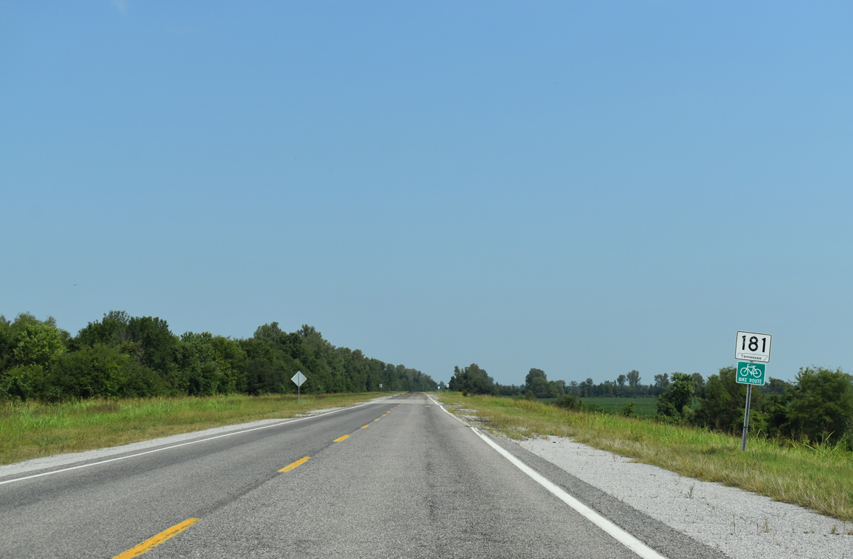
SR 181 confirming marker posted north of SR 103.
09/09/20
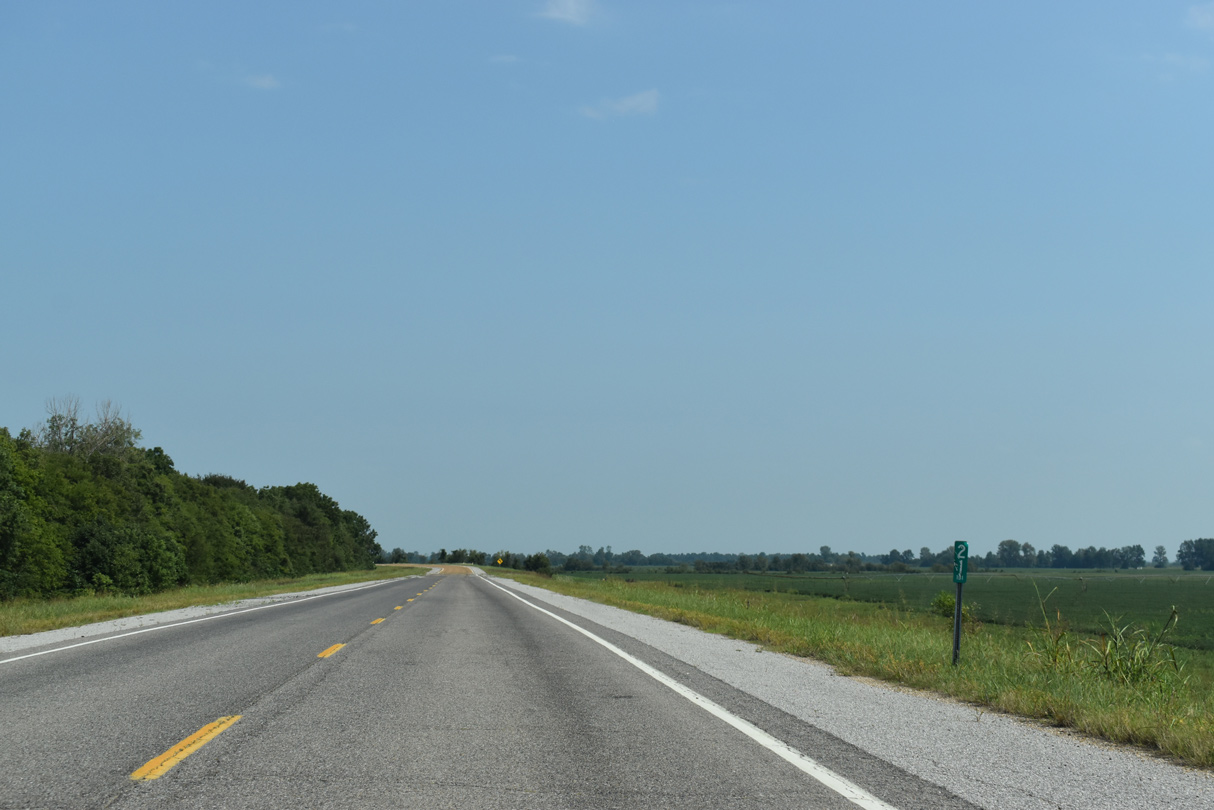
Milepost 21
09/09/20
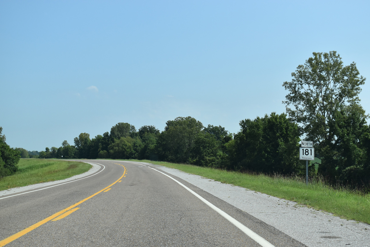
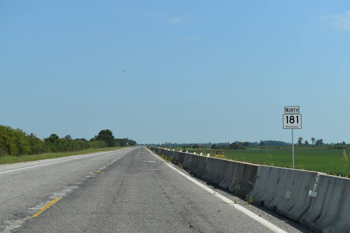
SR 181 north enters Lake County ahead of this shield assembly.
09/09/20
SR 181 crosses into Dyer County 2.64 miles south of SR 79.
09/09/20
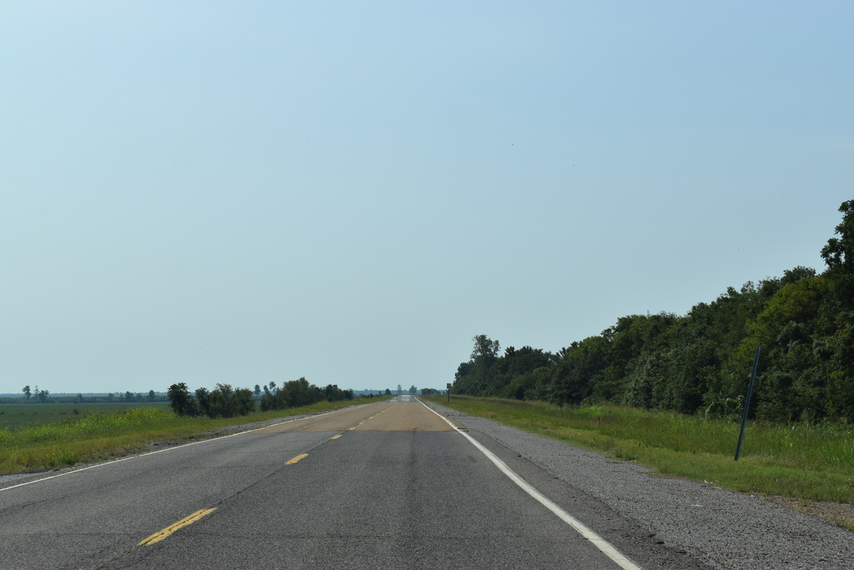
SR 181 continues along the Mississippi River levee system south through Dyer County.
09/09/20
SR 103 stems 8.37 miles west from SR 78 to Miston, Tennemo and a dead end near Tennemo Landing along the Mississippi River.
09/09/20
Confirming marker south of SR 103.
09/09/20
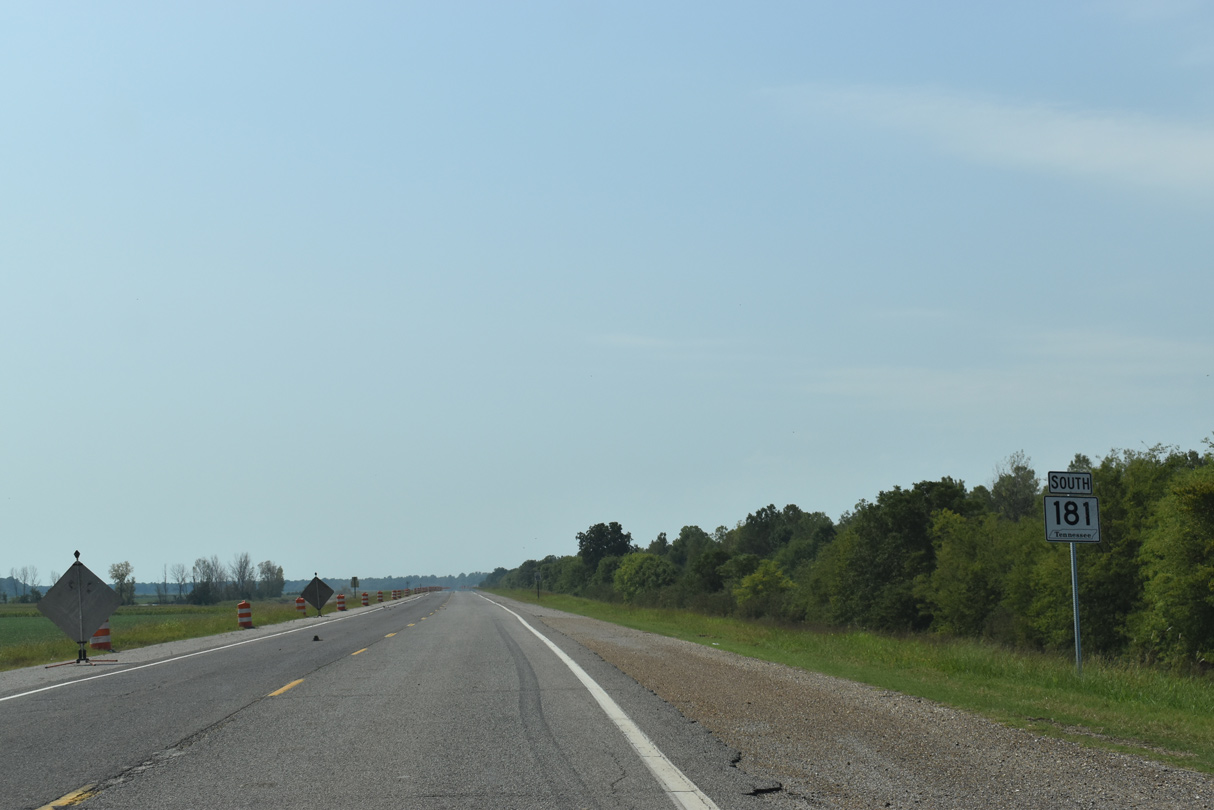
Great River Road south near Whites Lake.
09/09/20
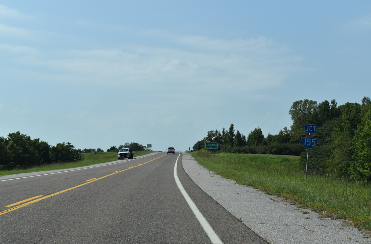
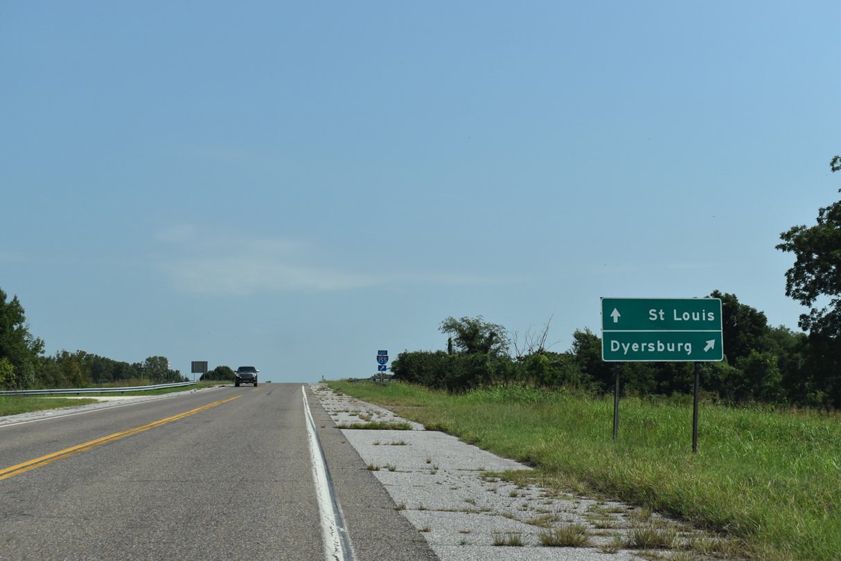
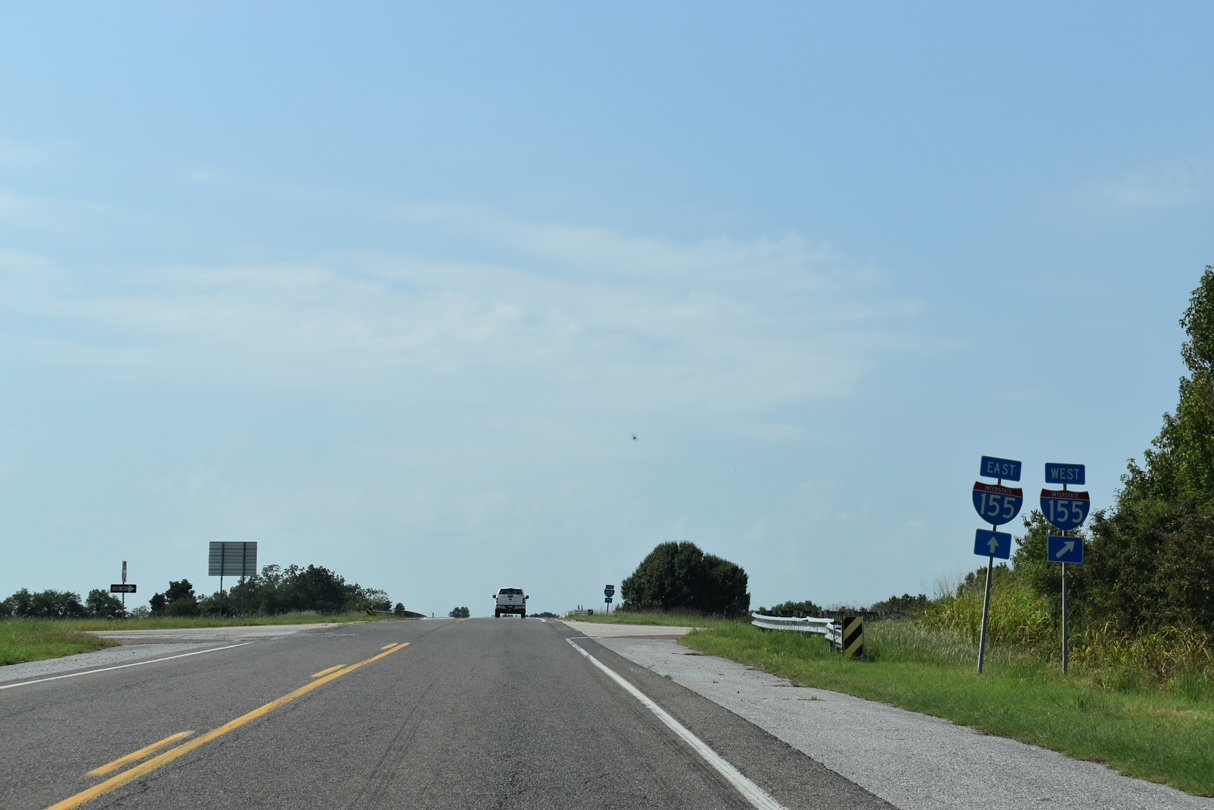
Leaving Thorny Cypress Wildlife Management Area, SR 181 (Great River Road) next meets I-155/U.S. 412.
09/09/20
Interstate 155 joins Dyersburg with Caruthersville and Hayti in the Missouri Bootheel.
09/09/20
Entirely concurrent with U.S. 412, Interstate 155 joins U.S. 51/Future I-69 with I-55/U.S. 61 along a 26.72 mile long course.
09/09/20
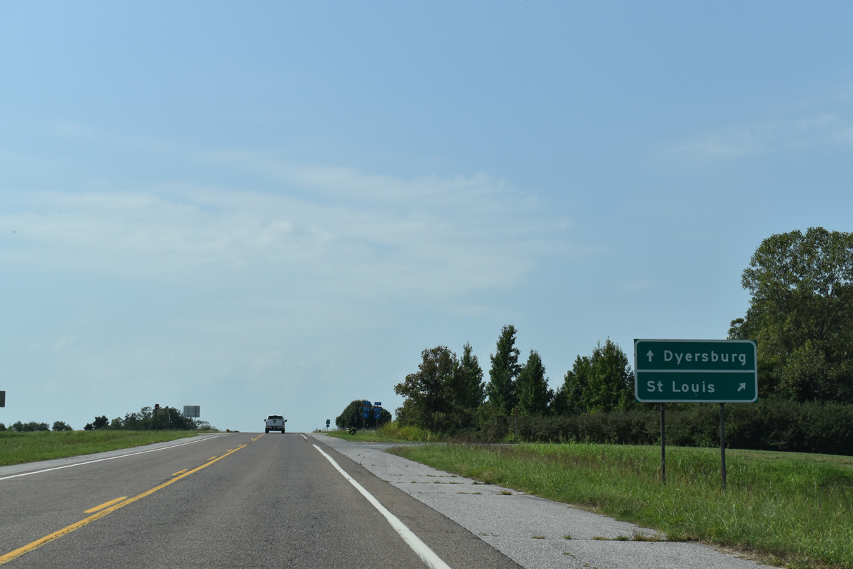
I-155/U.S. 412 continue east from SR 181 to Dyersburg and the Future I-69 corridor leading northeast to Union City.
09/09/20
Beyond the east end of I-155 at Dyersburg, U.S. 412 turns southeast to Interstate 40 at Jackson.
09/09/20
Signed as a secondary route, SR 181 (Great River Road) extends south another 15.01 miles to Moss Island and SR 88.
09/09/20
Photo Credits:
- ABRoads: 09/09/20
Page Updated Thursday November 02, 2023.