
State Highway 166
SH 166 forms a 42.77 mile loop around the Davis Mountains in West Texas from SH 17 near Fort Davis to FM 505 and SH 118.
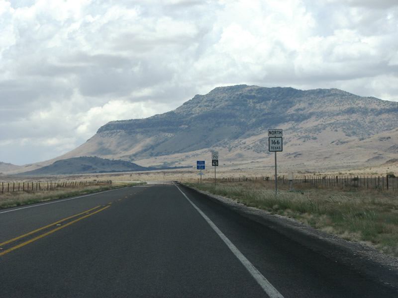
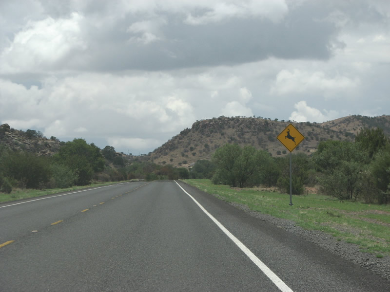
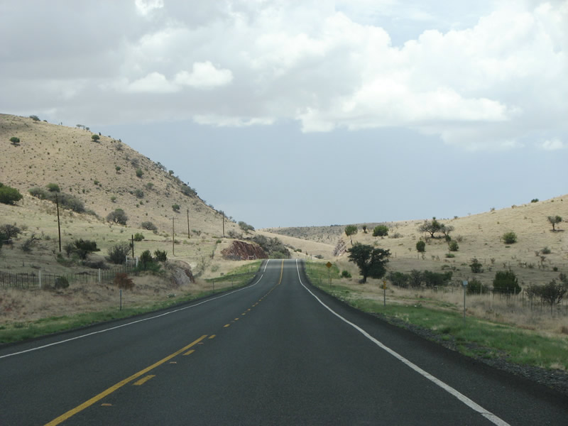
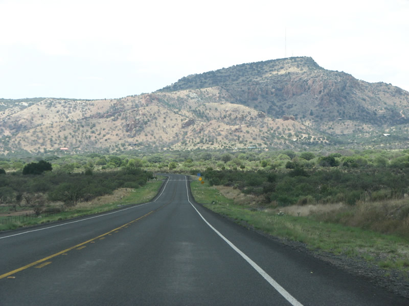
SH 166 begins at SH 17 south of Fort Davis. This view looks west along the road towards Blue Mountain (elev 7,286 feet).
07/04/08
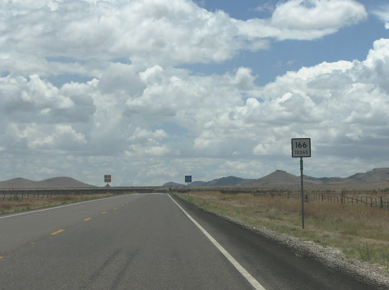
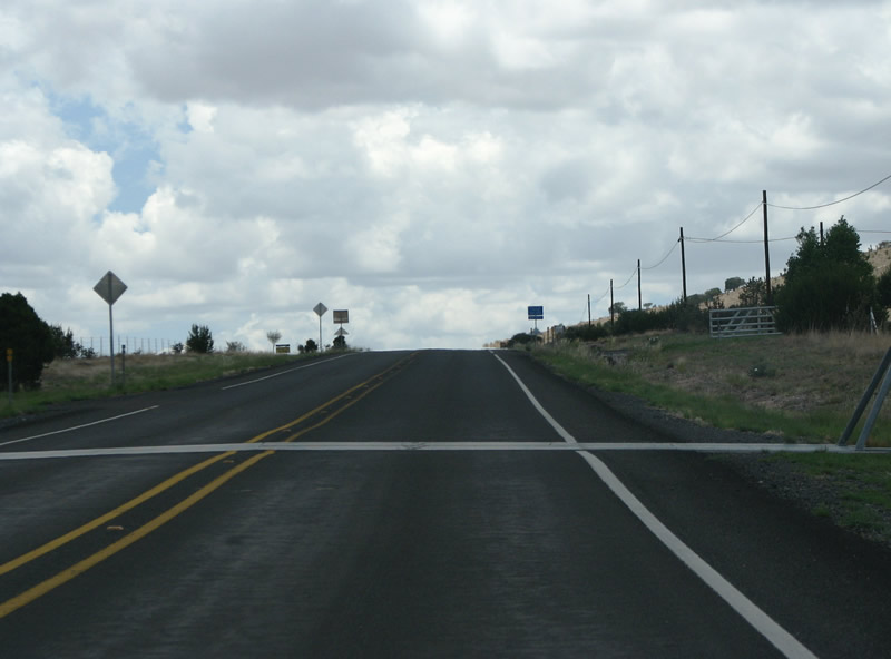
SH 166 generally runs through ranches with open grazing land across areas south of Blue Mountain. The state highway passes between Ninemile Hill and Bull Pasture Hills in the distance.
07/04/08
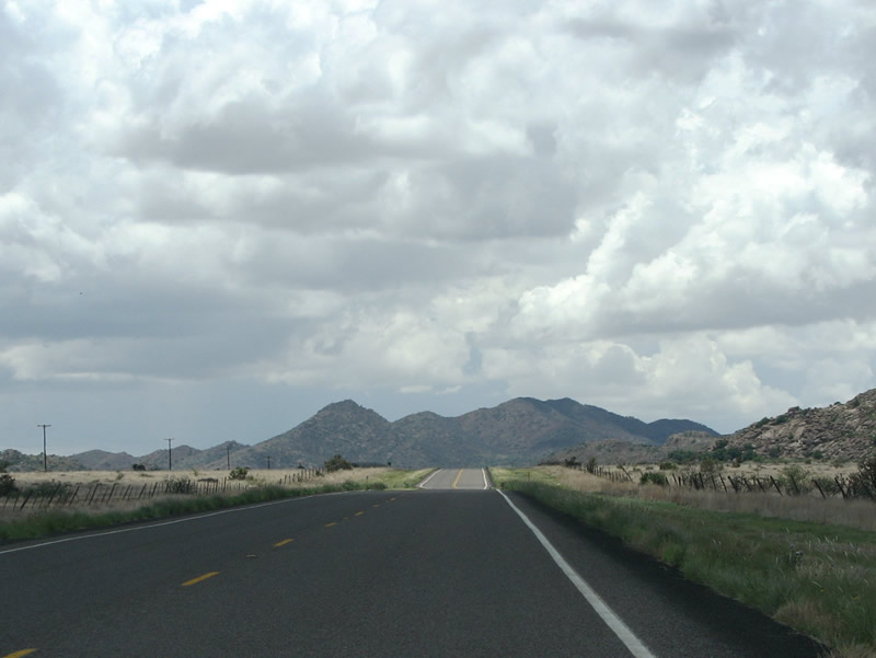
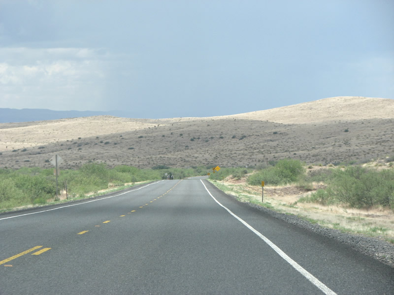
SH 166 travels west through the Point of Rocks area toward Bloys Camp Meeting and Brown Mountain.
07/04/08
SH 118 gains 400 feet in elevation from Point of Rocks to Bloys Camp Meeting.
07/04/08
A reassurance marker appears at the settlement of Bloys Camp Meeting, the only place name encountered by the state highway.
07/04/08
One of several cattle guards along the state highway precedes Dave Street at Bloys Camp Meeting.
07/04/08
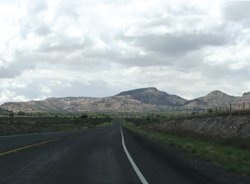
SH 166 navigates through a series of S curves through the valley south of White Mountain and north of Mine Mountain.
07/04/08
SH 166 continues west by Crows Nest Hill.
07/04/08
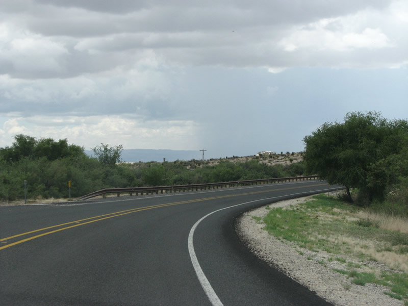
Winding alongside Medley Draw, SH 166 reaches Barrel Springs Ranch.
07/04/08
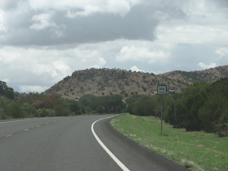
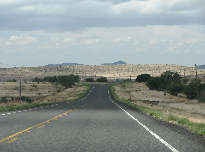
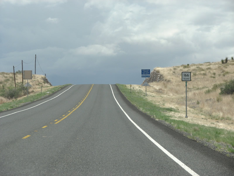
SH 166 trends northward from Barrel Spring to Merrill Canyon.
07/04/08
El Muerte Peak appears along the northern horizon along SH 166 just ahead of FM 505 at Merrill Canyon.
07/04/08
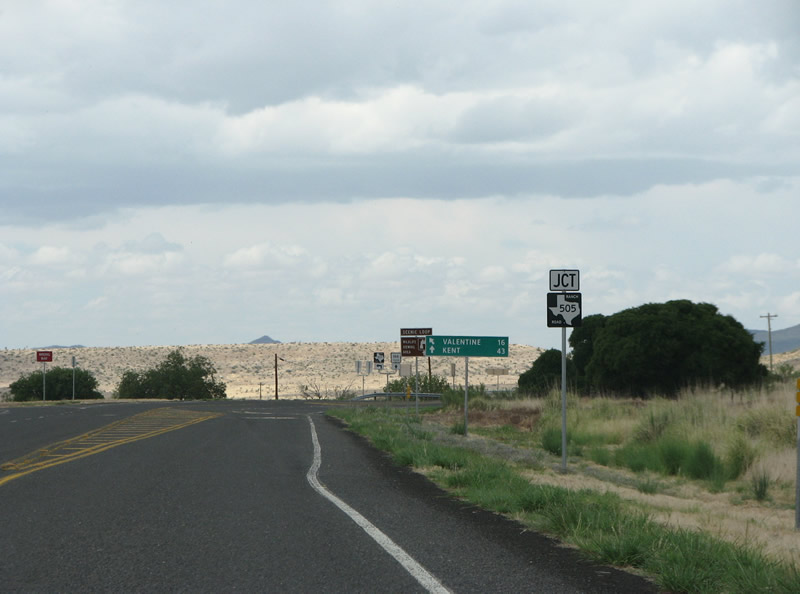
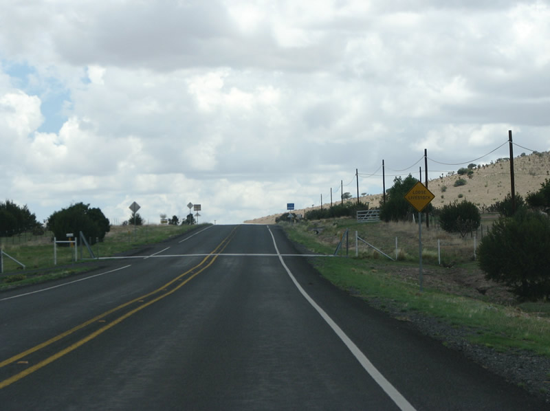
FM 505 is the only FM junction along SH 166. The 8.82 mile long highway provides a shortcut west from SH 166 to U.S. 90 and the town of Valentine. This is the FM road most residents of Fort Davis would take when headed west.
07/04/08
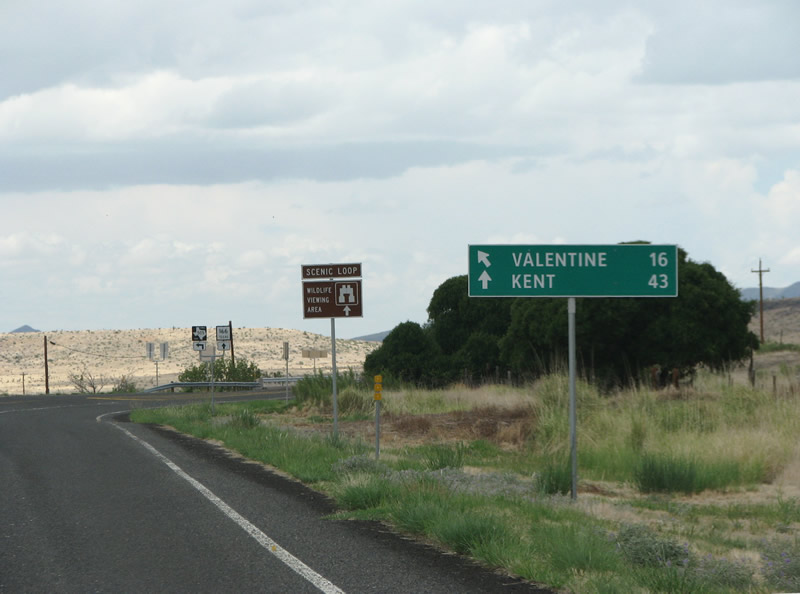
Control points at the intersection reference the nearly-abandoned town of Valentine along U.S. 90 to the west, and Kent at IH 10 to the north. SH 166 continues north of here to end at SH 118.
07/04/08
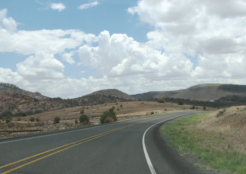
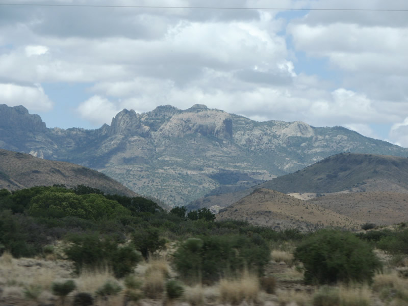
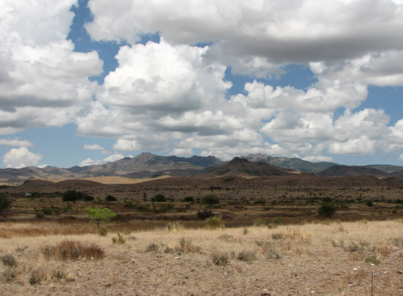
The northern leg of SH 166 traverses the Davis Mountains. The range is both rugged and impressive.
07/04/08
Photo Credits:
- Justin Cozart: 07/04/08
Connect with:
Page Updated Wednesday July 31, 2019.