
U.S. 1 North - Glen Allen to Ashland

 North
North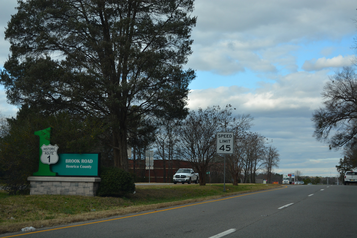
U.S. 1 heads north from I-95 at Exit 51 and the city of Richmond along Brook Road to the communities of Lakeside and Glen Allen.
12/16/22
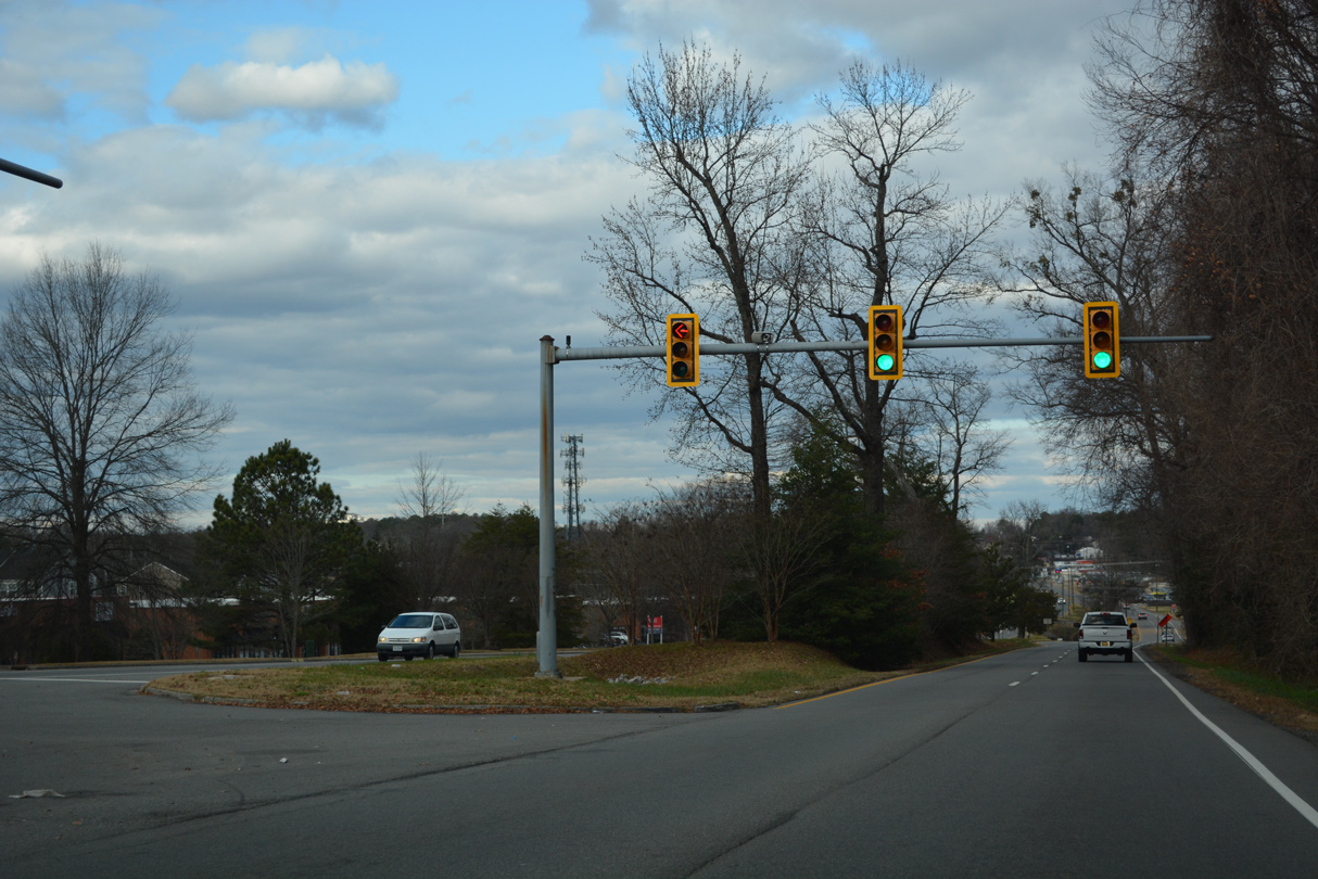
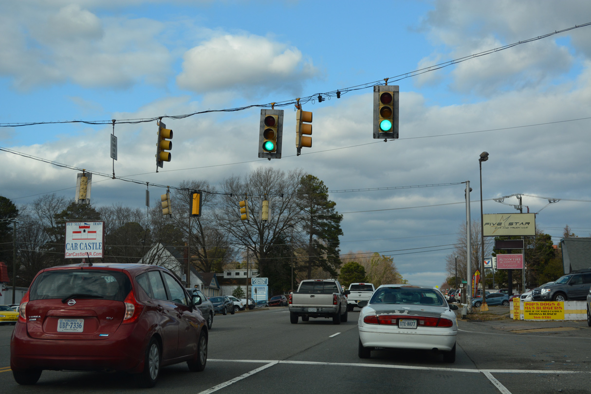
Brook Run Shopping Center lines the west side of U.S. 1 (Brook Road) among other retail and the Lakeside Landing town home community.
12/16/22
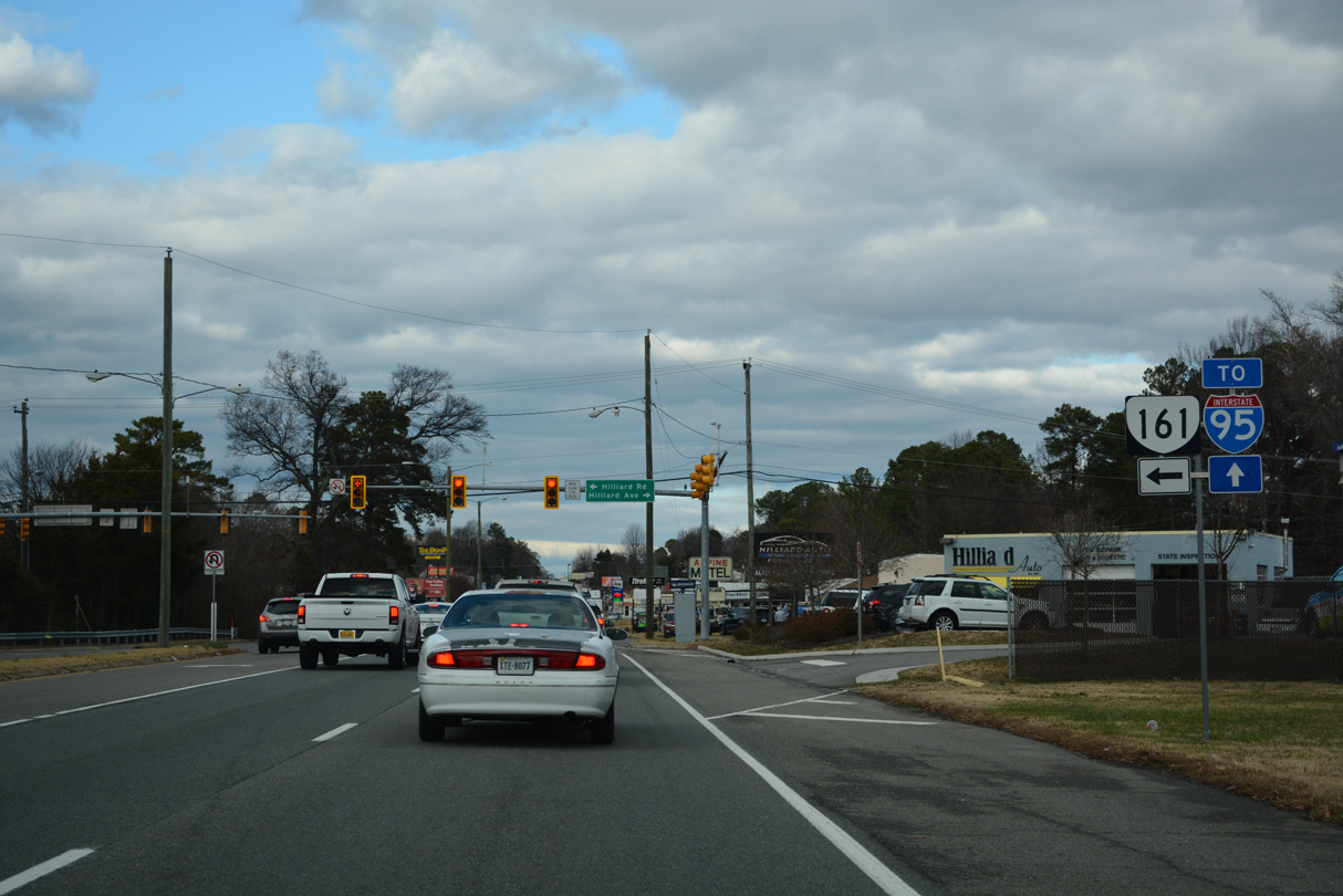
The north end of SR 161 ties into U.S. 1 (Brook Road) at Hilliard Road in Lakeside. SR 161 constitutes a 14.04 mile long route to I-95 in south Richmond.
12/16/22
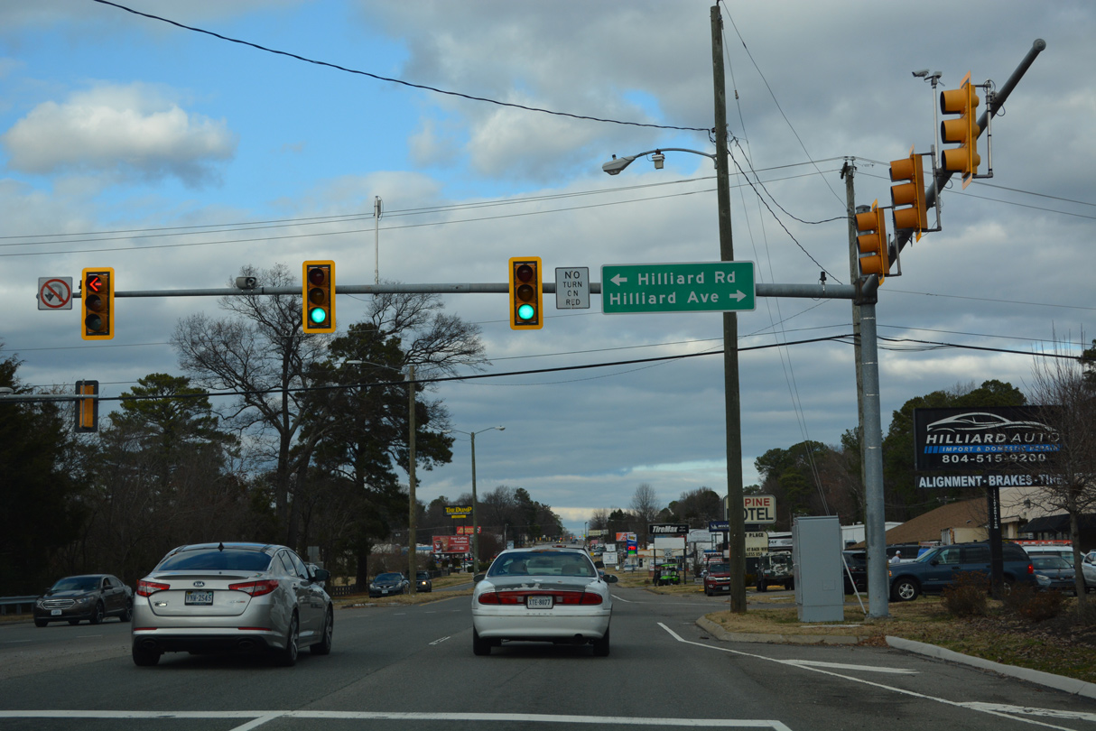
Hilliard Avenue stems east from U.S. 1 and SR 161 into a residential street grid. SR 161 lines Hilliard Road west 0.74 miles to SR 356 at Lakeside Avenue.
12/16/22
Lakeside Avenue loops northeast from SR 161/356 to Lewis Ginter Botanical Garden and U.S. 1 (Brook Road) across from Lakeside Boulevard.
12/16/22
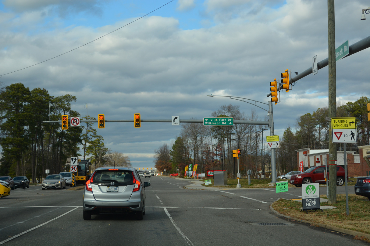
Wilkinson Road arcs 3.31 miles southeast from U.S. 1 (Brook Road) at Villa Park Drive to the Chamberlayne community and Azalea Avenue near Richmond Raceway.
12/16/22
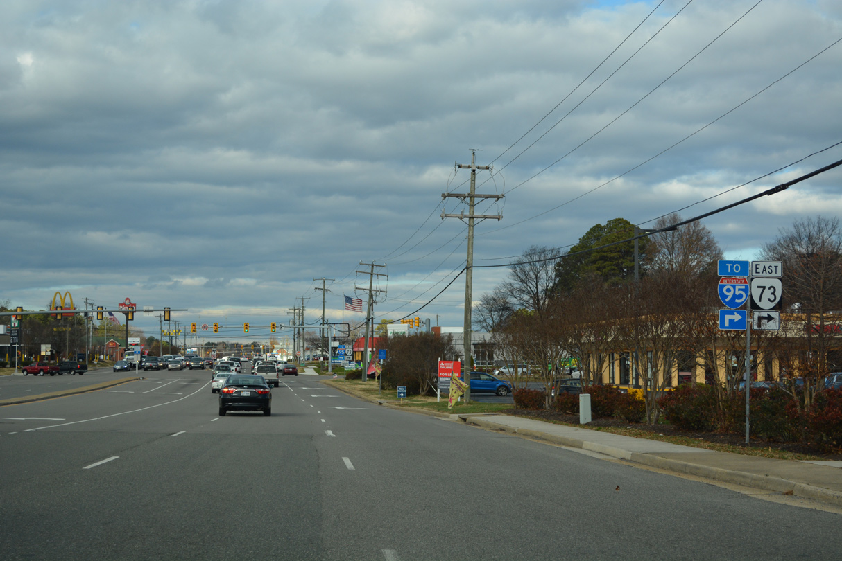
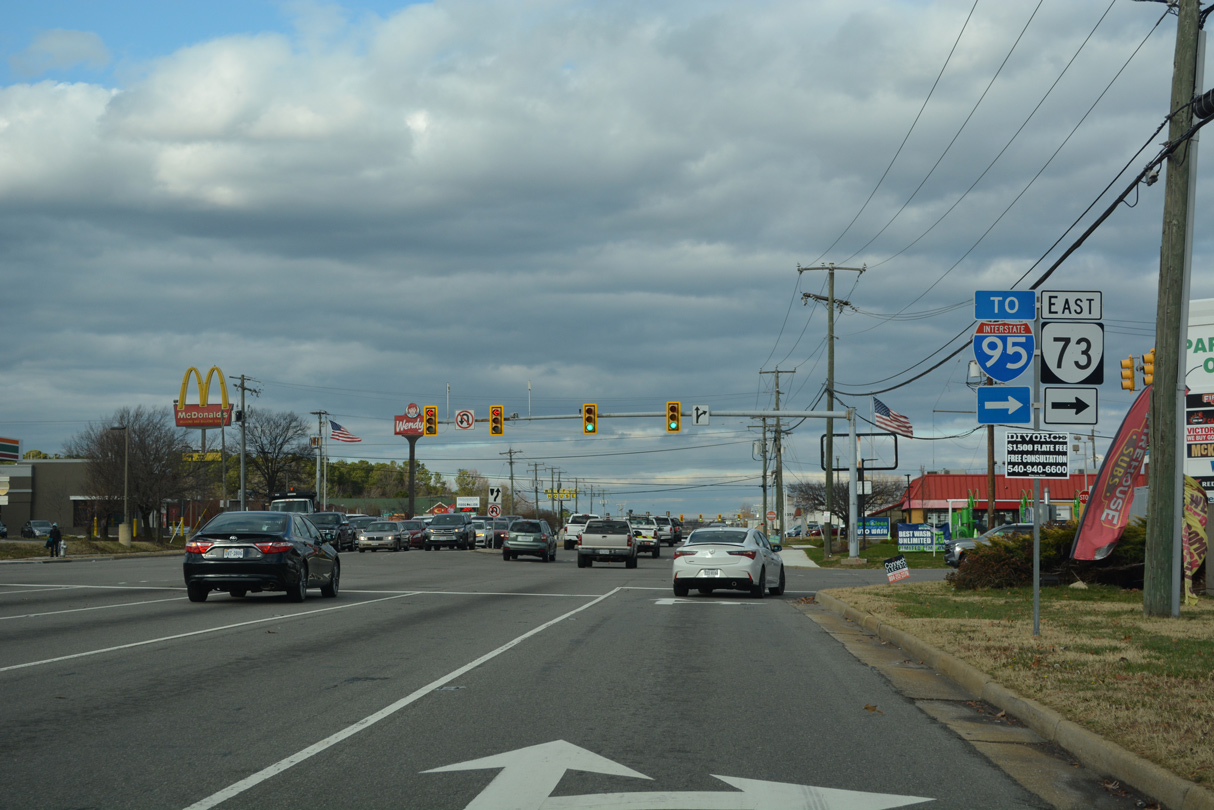
SR 73 lines Parham Road for 0.78 miles between U.S. 1 (Brook Road) and the cloverleaf interchange (Exit 83) with Interstate 95.
12/16/22
Parham Road comprises a 12.08 mile long arterial loop around Richmond southwest to SR 150 (Chippenham Parkway) at Tuckahoe and east to U.S. 301/SR 2 by the Northfield neighborhood at Chamberlayne.
12/16/22
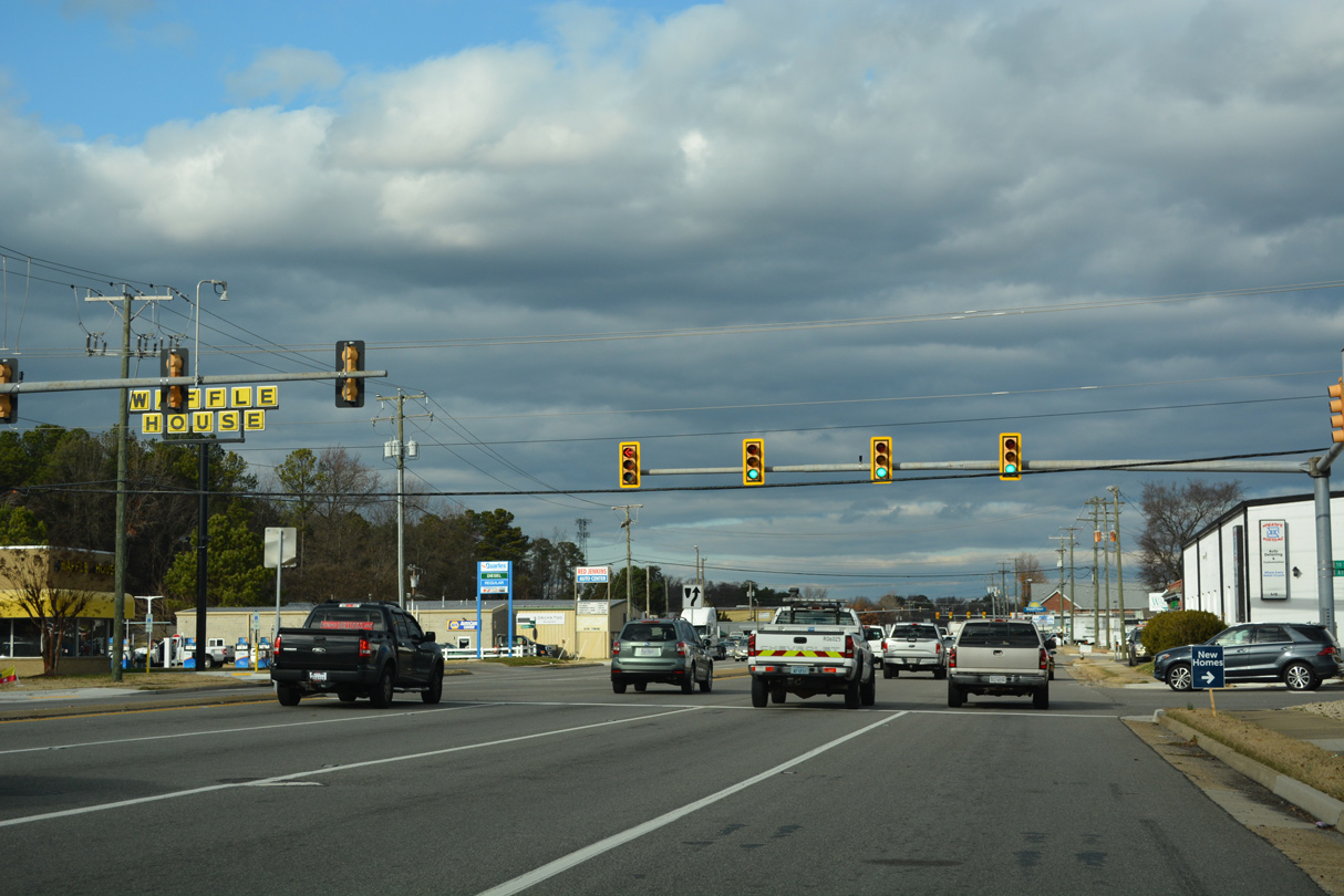
The succeeding traffic light on U.S. 1 (Brook Road) north in Glenn Allen is at Athens Avenue.
12/16/22
Mountain Road branches 5.35 miles northwest from U.S. 1 (Brook Road) across Glen Allen to U.S. 33 (Staples Mill Road).
12/16/22
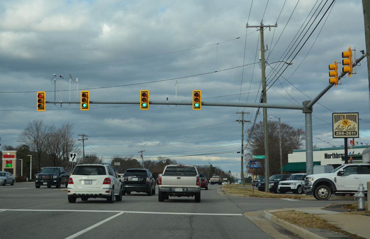
Connecticut Avenue stems west from U.S. 1 (Brook Road) to Longdale Avenue in Glen Allen.
12/16/22
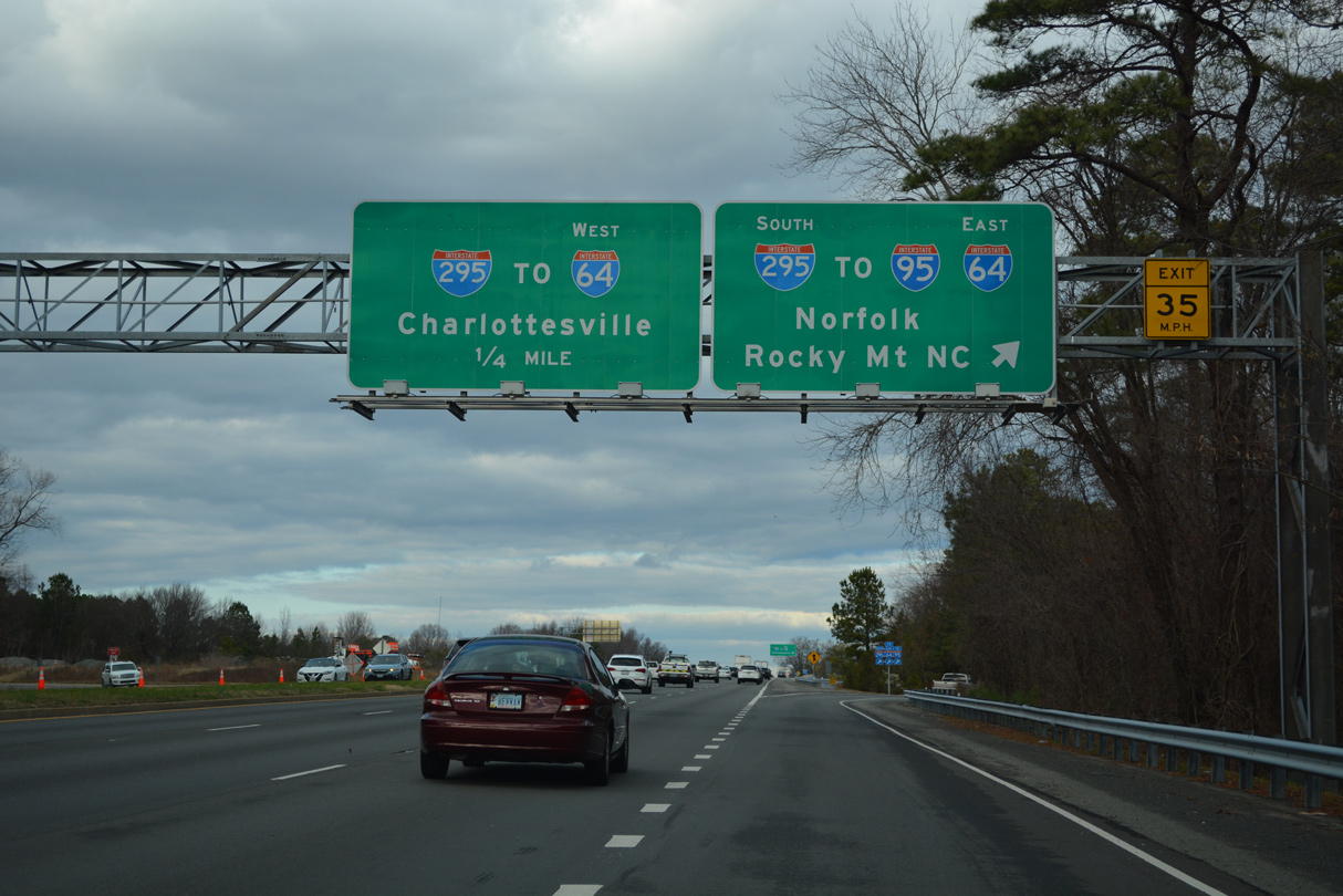
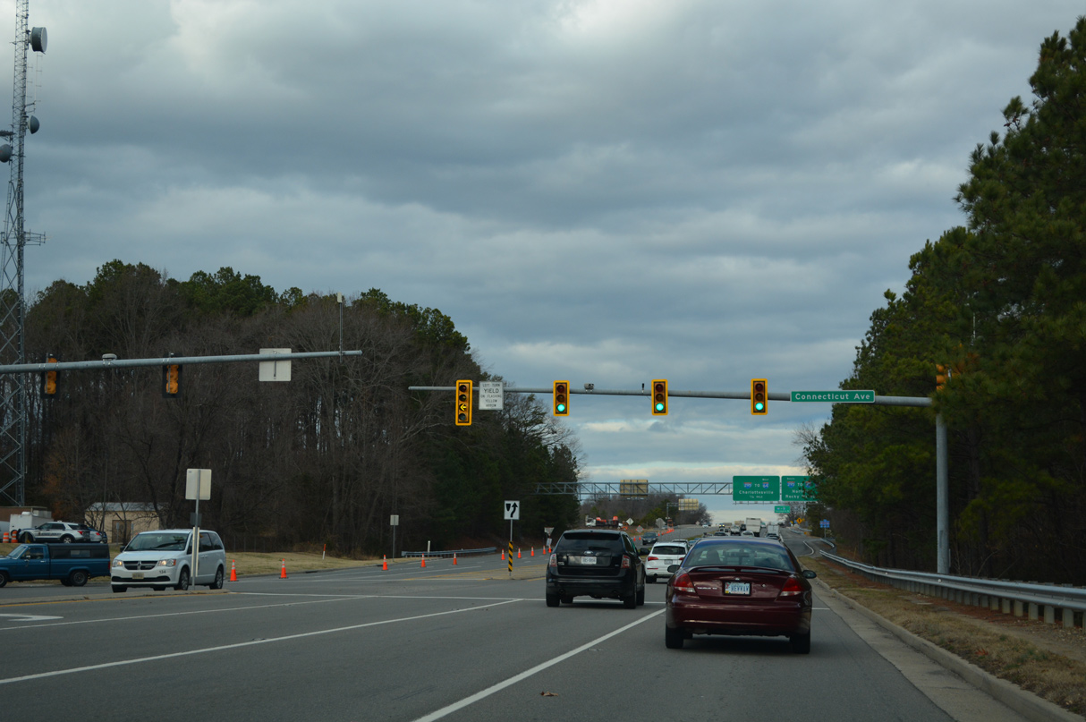
U.S. 1 (Brook Road) proceeds north at Glen Allen to a cloverleaf interchange with Interstate 295.
12/16/22
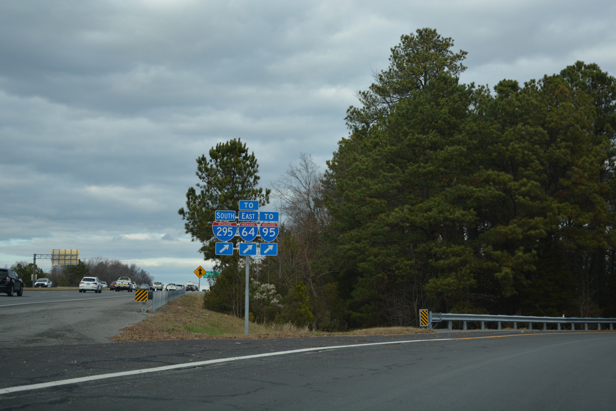
Interstate 295 meets I-95 at the adjacent interchange east of U.S. 1. The bypass leads west to I-64 at Short Pump and I-95 south of Petersburg.
12/16/22

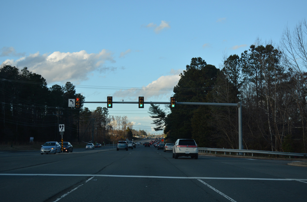
U.S. 1 (Brook Road) enters a commercialized stretch north from Interstate 295 to the town of Ashland.
12/21/18
Magnolia Ridge Drive ties into U.S. 1 (Brook Road) on the north side of Virginia Center Marketplace west from the north entrance to Virginia Center Commons mall.
12/21/18
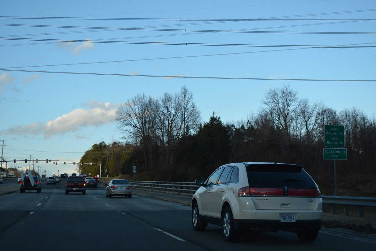
Crossing the Chickahominy River, U.S. 1 (Brook Road) north enters Hanover County.
12/21/18
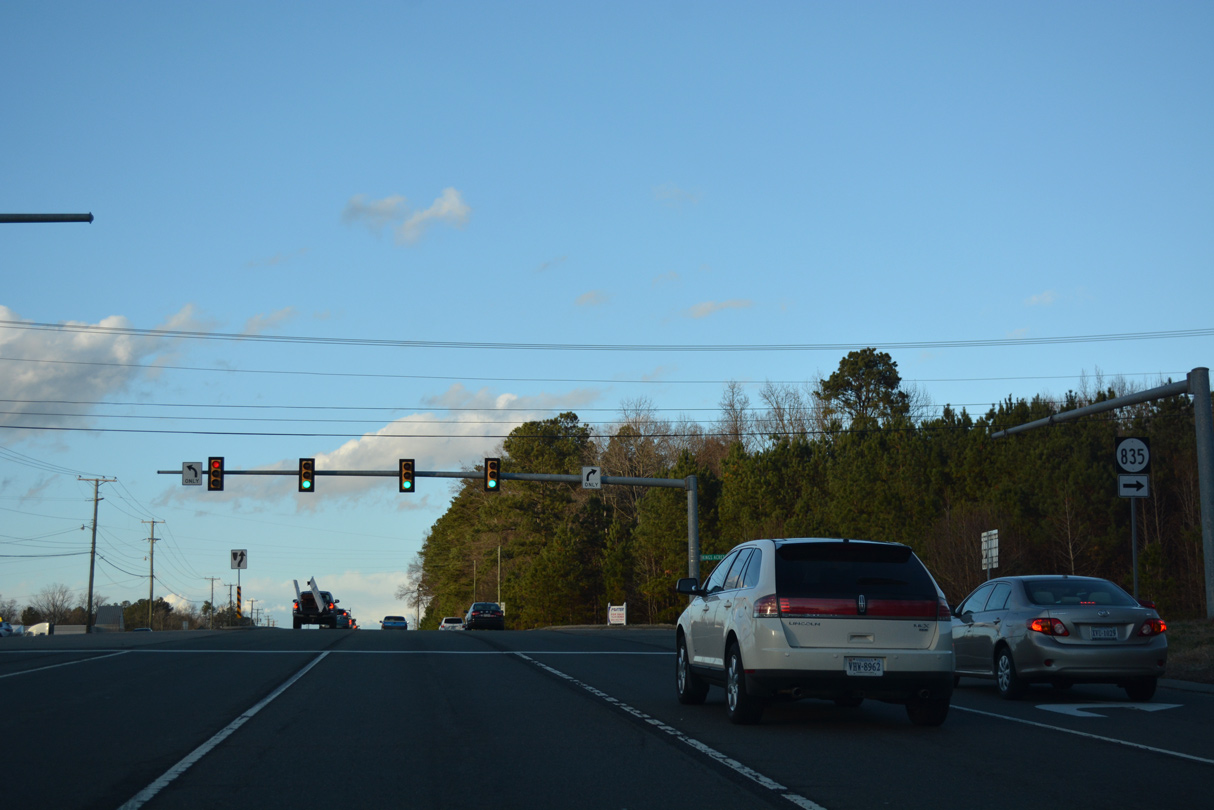
Kings Acres Road (SR 835) is a major collector running 1.42 miles east from U.S. 1 to SR 637 (Atlee Station Road).
12/21/18
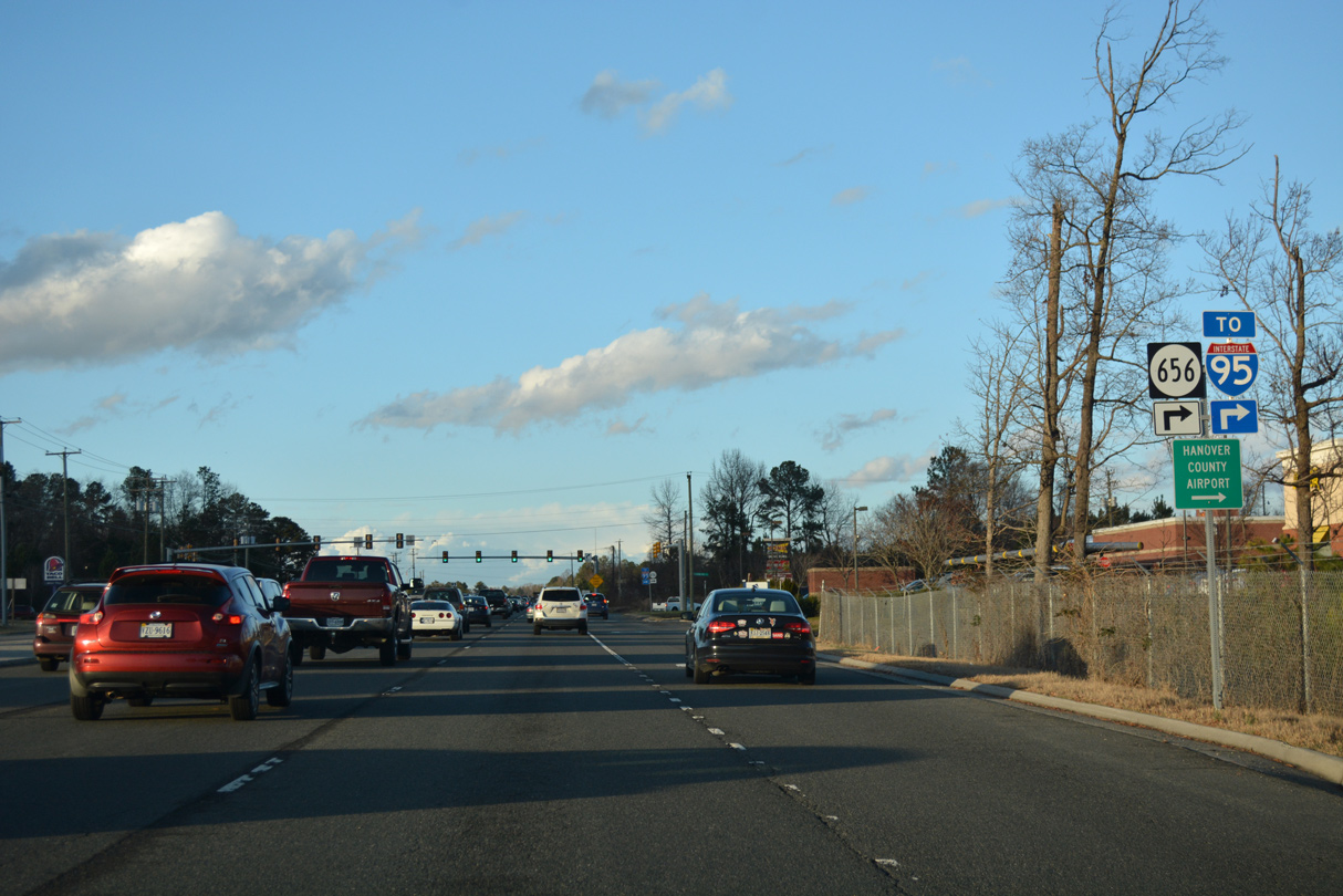
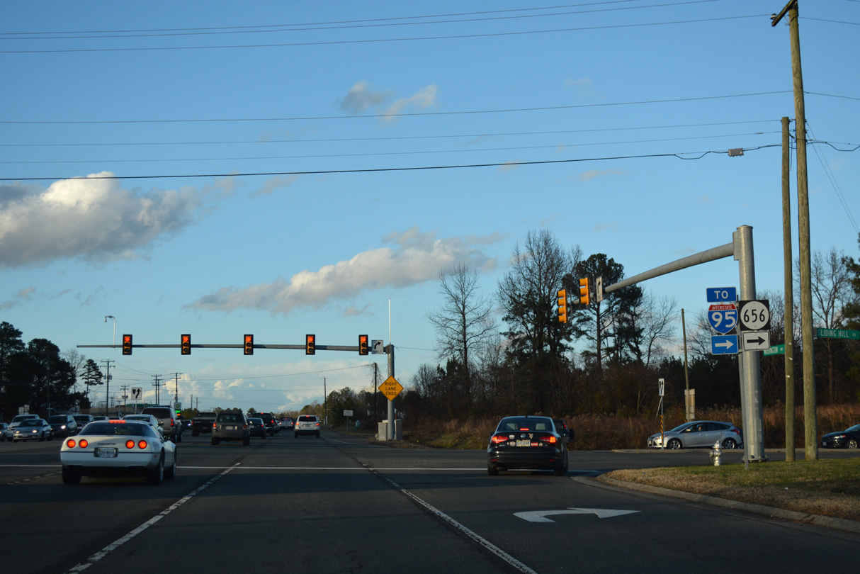
SR 656 (Sliding Hill Road) is a four lane arterial connecting U.S. 1 at French Hay with Interstate 95 at Exit 86.
12/21/18
SR 656 (Sliding Hill Road) continues beyond I-95 northeast to Poindexters, Hanover County Airport (OFP) and SR 657 (Ashcake Road).
12/21/18
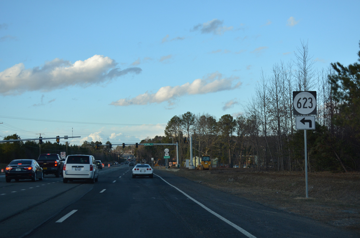
SR 623 (Cedar Lane) branches northwest from U.S. 1 to Elmont along a 9.29 mile long course to Ashland Road.
12/21/18
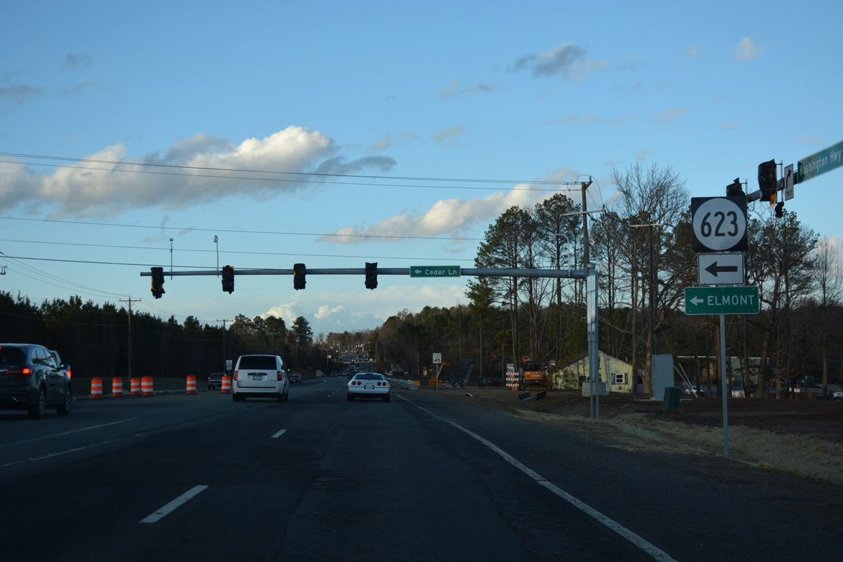
Accommodating increased development, SR 623 (Cedar Lane) was realigned to a new signalized intersection with U.S. 1 in 2018.
12/21/18
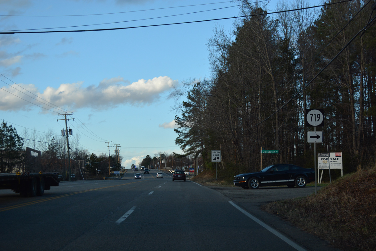
SR 719 is Old Keeton Road, a residential street east to SR 661 (Old Telegraph Road).
12/21/18
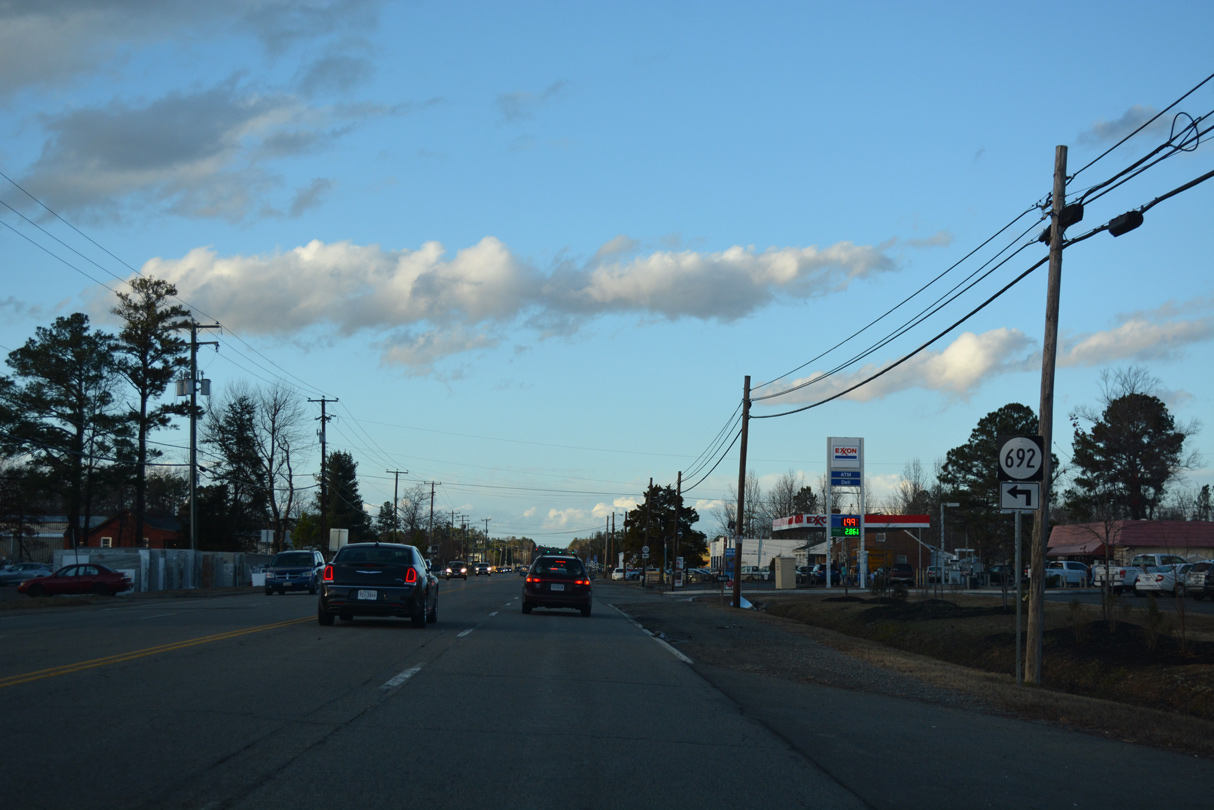
SR 692 is Dellwood Road, a short residential street to the west.
12/21/18
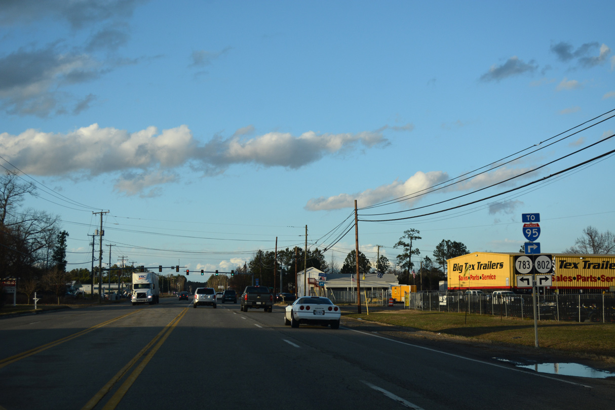
SR 802 (Lewistown Road) links U.S. 1 with I-95 east of Lewistown.
12/21/18
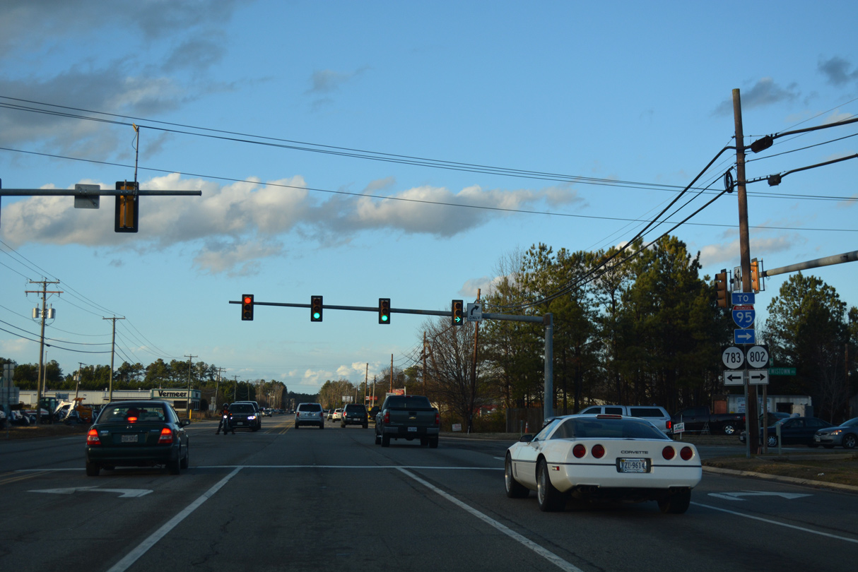
SR 802 (Lewistown Road) runs 1.63 miles east from U.S. 1 at SR 783 to SR 657 (Ashcake Road).
12/21/18
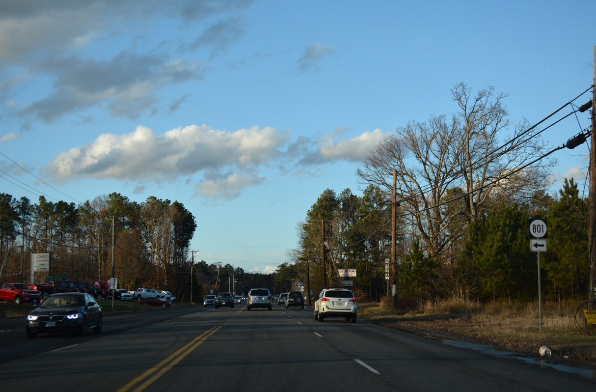
SR 801 (Cobbs Road) is a minor collector leading 1.50 miles west from U.S. 1 to SR 626 (Elmont Road) at Elmont.
12/21/18
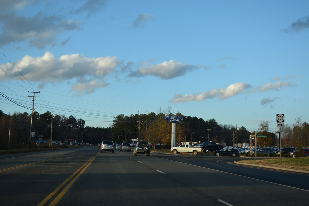
SR 782 (N Lakeridge Parkway) arcs southeast to Lewistown.
12/21/18
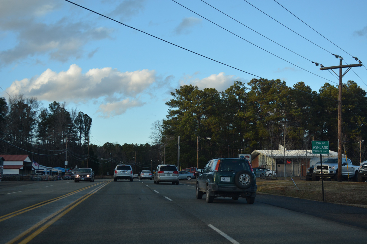
U.S. 1 (Washington Highway) enters the town of Ashland northbound at Johnson Road.
12/21/18

U.S. 1 north at SR 825 (Design Road) east.
12/21/18
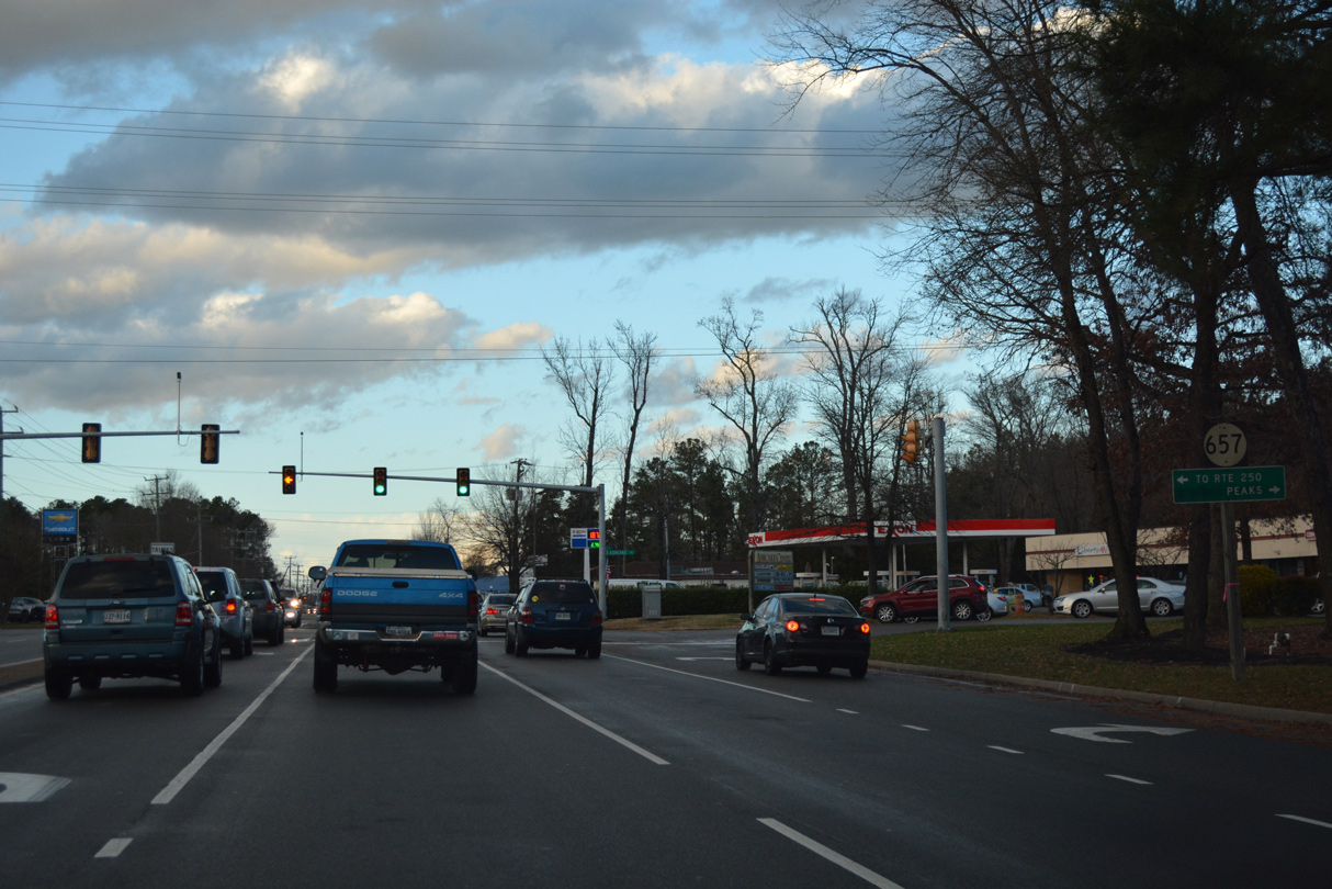
SR 657 (Ashcake Road) runs east to Peaks and U.S. 301/SR 2 at Crosses Corner and west U.S. 33 (Mountain Road) near Montpelier.
12/21/18
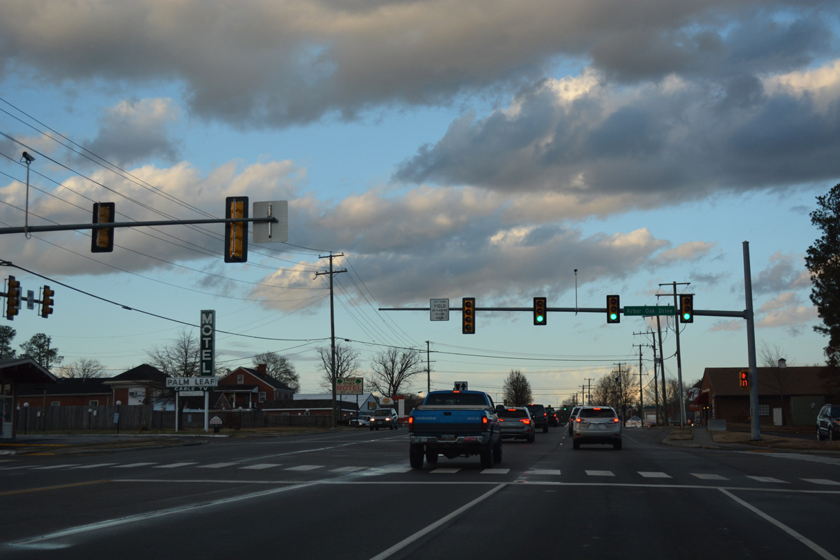
Arbor Oak Drive is the entrance to the Sedgefield mobile home community.
12/21/18
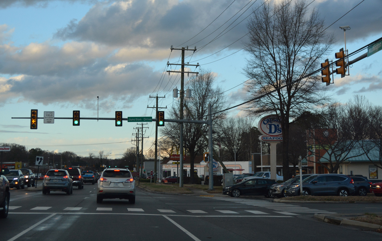
U.S. 1 (Washington Highway) intersects Junction Drive by Ashland Junction Shopping Center.
12/21/18

SR 54 (England Street) crosses paths with U.S. 1 (Washington Highway) east of Downtown Ashland and Randolph-Macon College.
12/21/18
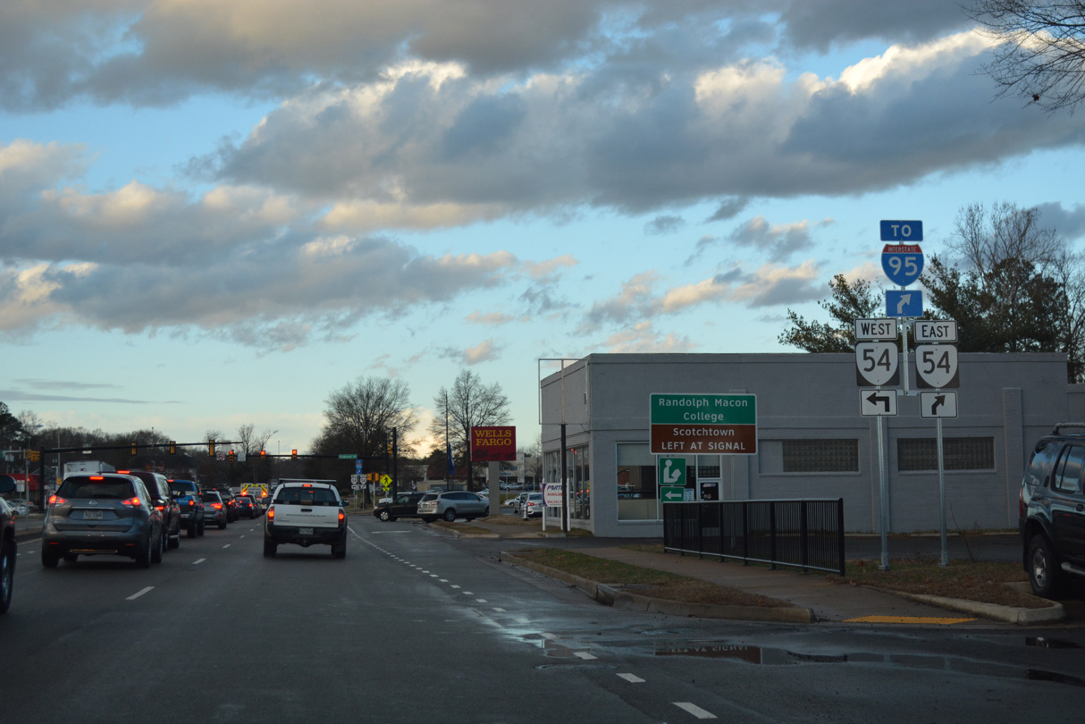
SR 54 heads 12.45 miles west from U.S. 1 in Ashland to U.S. 33 outside Montpelier. SR 54 east continues 5.97 miles to I-95 and U.S. 301/SR 2 at Hanover.
12/21/18
Photo Credits:
- Alex Nitzman: 12/21/18, 12/16/22
Page Updated Tuesday February 21, 2023.