
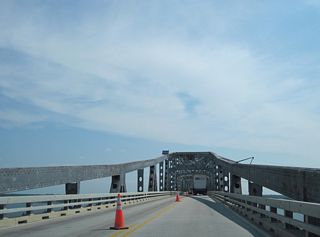
Virginia Road & Highway Photo Guides
Sitemap to all pages covering the state of Virginia.
Route Categories
Interstates
16 routes, 4,457 photos
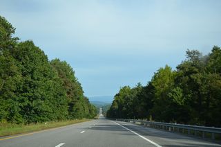
U.S. Highways
28 routes, 3,814 photos
State Routes
50 routes, 1,418 photos
Secondary Routes
2 routes, 10 photos
Other Roads
5 routes, 118 photos
Photo Coverage of Roads and Highways in Virginia
AARoads documents highways and roads across Virginia with route-by-route photo guides organized by direction of travel. Coverage includes Interstate Highways, U.S. Routes, Virginia State Routes, Virginia Secondary Routes, and select named streets and roads.
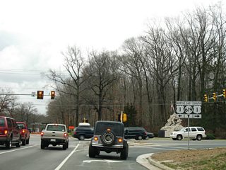
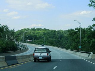
Photo guides focus on highway signage, interchanges, route markers, city limit signs, county lines, and notable points of interest along each route. Urban routes feature dense interchange spacing, while rural highways emphasize route continuity and junction signage.
New and updated photos for Virginia routes are added periodically and cataloged on the updates page.
City/Area Guides
Hampton Roads
0 Photos
Richmond-Petersburg
9 PhotosPhotographic Contributors
Contributions and photography for the Virginia guides by Alex Nitzman, Andy Field, Brent Ivy, Carter Buchanan, Connor Lauzon, Justin Cozart, Mark Moore, Will Weaver and others.
About Virginia
- Capital:
 Richmond
 - Nickname: Old Dominion State
- Total Interstate Mileage: 1,117.23
- Highest Point: Mt. Rogers 5,729 feet
State route mileages obtained from the Virginia Department of Transportation (VDOT) Approved Functional Classification Web Map. Historical references to some Virginia State Routes were researched using the Virginia Highways Page (Adam Froehlig, Mike Roberson) and the Roads to the Future (Scott Kozel) web site.
Last updated: Friday December 31, 2021