
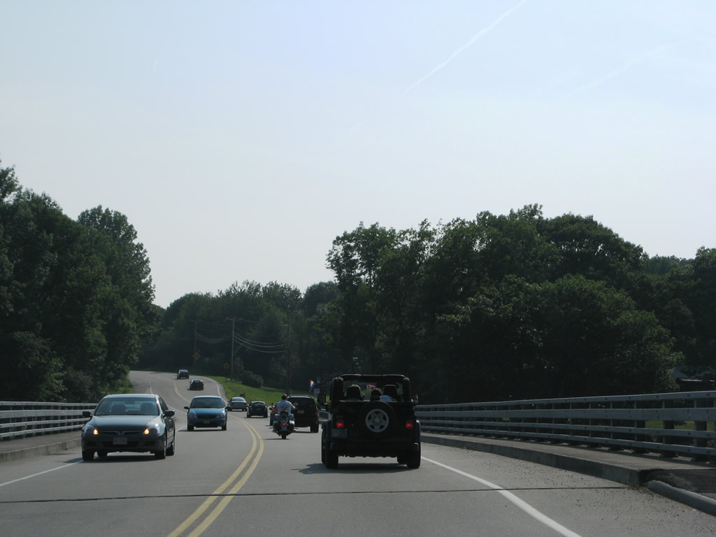
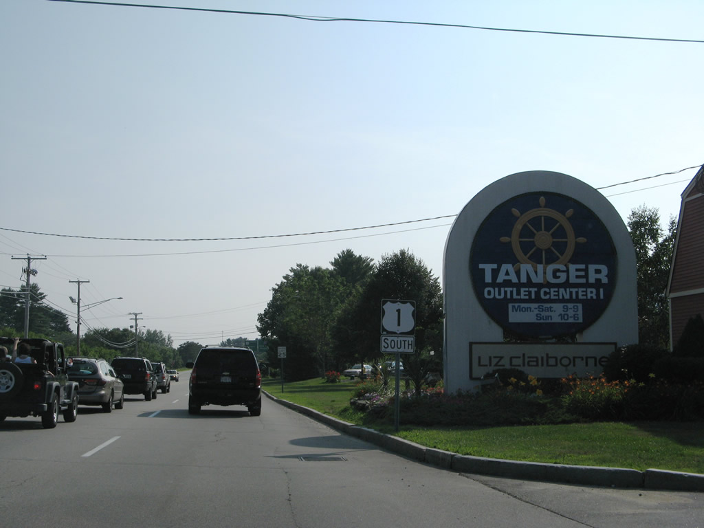
U.S. 1 South

 South
South
U.S. 1 follows North Street south through Houlton to a diamond interchange with Interstate 95 (Exit 302). Interstate 95 travels in an east-west fashion between Smyrna Mills and the Canadian border. Woodstock, New Brunswick lies to the east; Orono and Bangor lie southwest along the freeway.
06/27/05

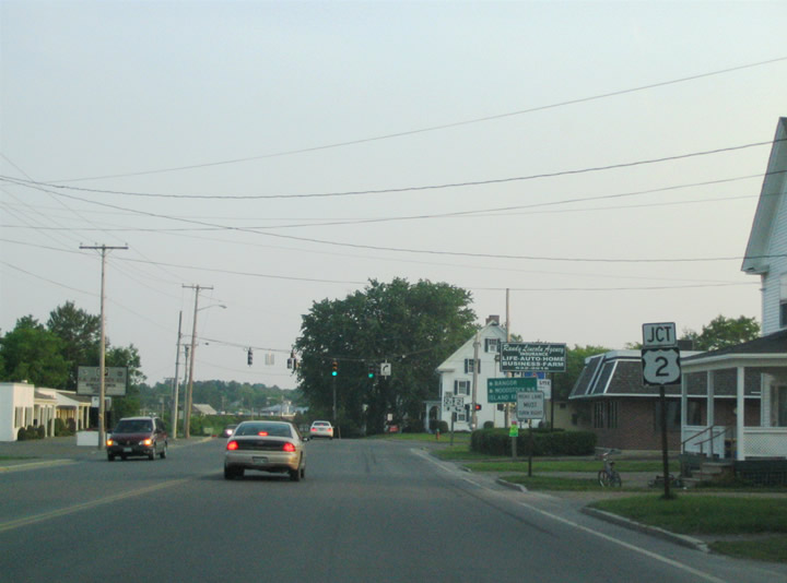
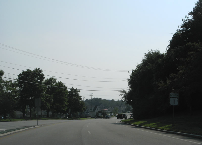
U.S. 1 leaves Intertate 95 along a commercialized stretch of North Street south. Trailblazers direct motorists to U.S. 2 and U.S. 2A, main routes serving Houlton from the south and west.
06/27/05
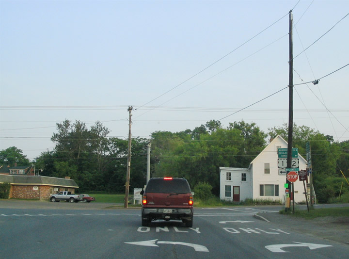
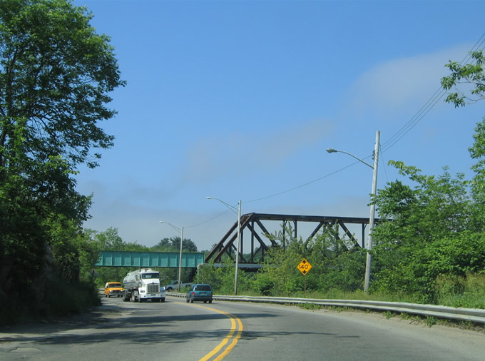
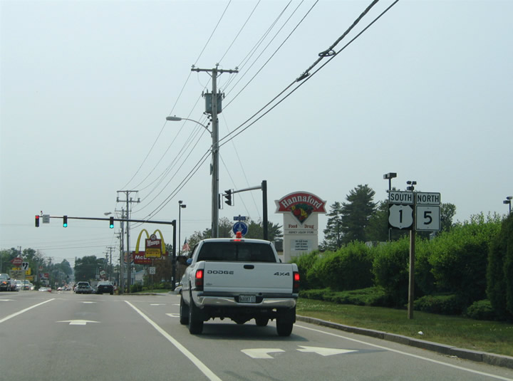
U.S. 2 enters Houlton along Smyrna Street from Ludlow to the west to intersect U.S. 1 (North Street) at the upcoming traffic light.
06/27/05
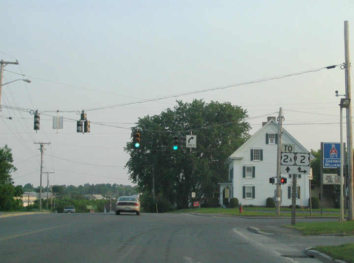
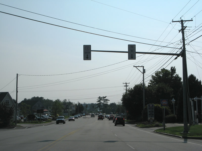
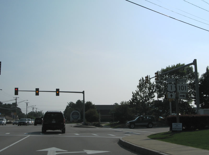
Southbound U.S. 1 at the merge with U.S. 2 (Smyrna Street). U.S. 2 parallels Interstate 95 west to Smyrna Mills and south to Island Falls. U.S. 2 east joins U.S. 1 south for a short overlap around Downtown Houlton.
06/27/05
South  East
East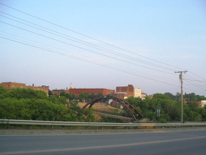
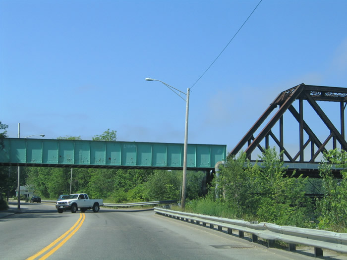
An arched pedestrian bridge spans the Meduxnekeag River by Downtown Houlton. North Street becomes Kendall Street at Mill Street ahead.
06/27/05
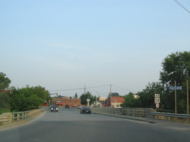
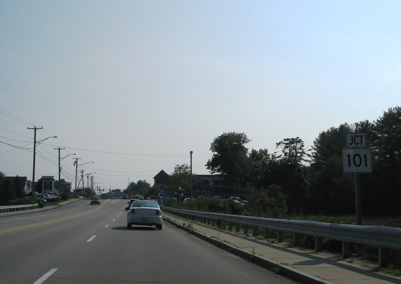
U.S. 1/2 (Kendall Street) span the Meduxnekeag River between Mill Street and U.S. 2A (Bangor Street). U.S. 2A travels southwest to Linneus, Haynesville, Glenwood, Reed and Macwahoc.
06/27/05
U.S. 1/2 turn onto Military Street briefly between Kendall and Court Streets. Military Street is considered a part of U.S. 2A between Bangor Street and U.S. 1/2.
06/27/05
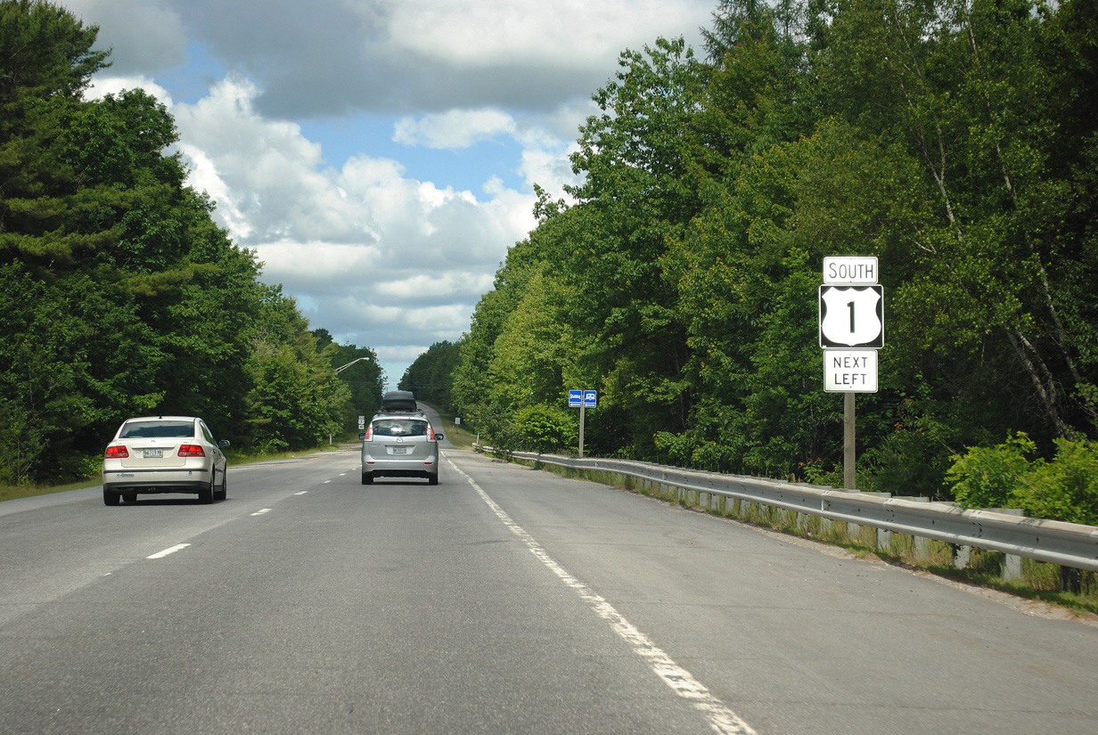
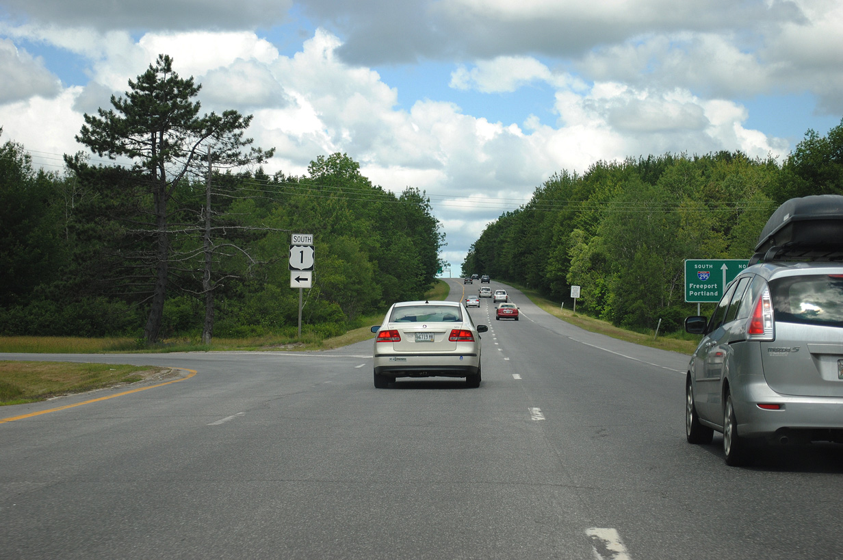
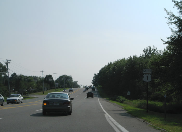
South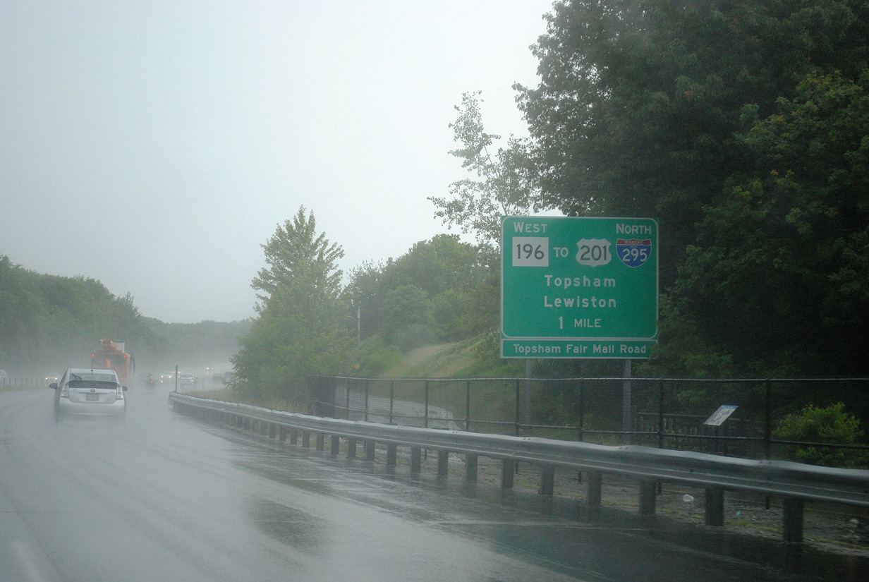
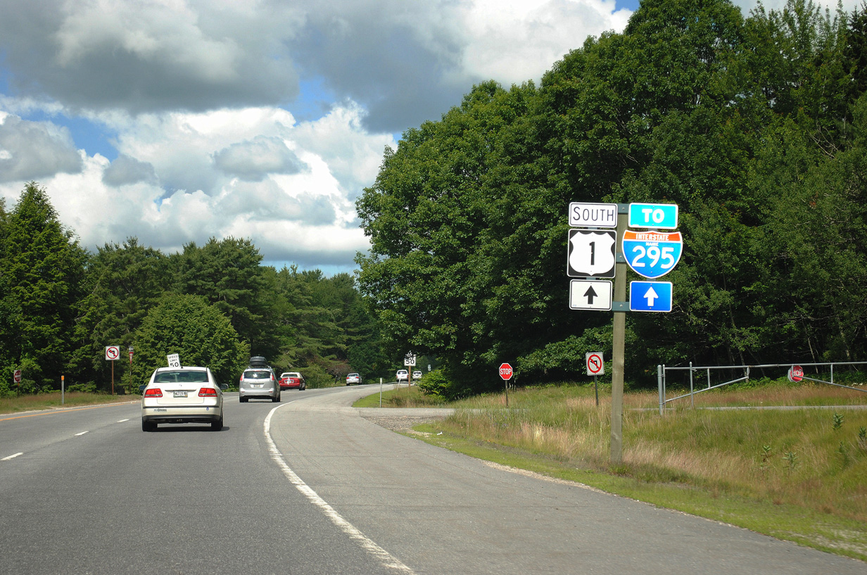
U.S. 1 follows a freeway west from Bath into Brunswick. Once in Brunswick, the freeway drops and parallels the Androscoggin River to a tri-level stack interchange with Maine 196 (Coastal Connector). SR 196 arcs northwest around Topsham to Interstate 295.
06/30/11
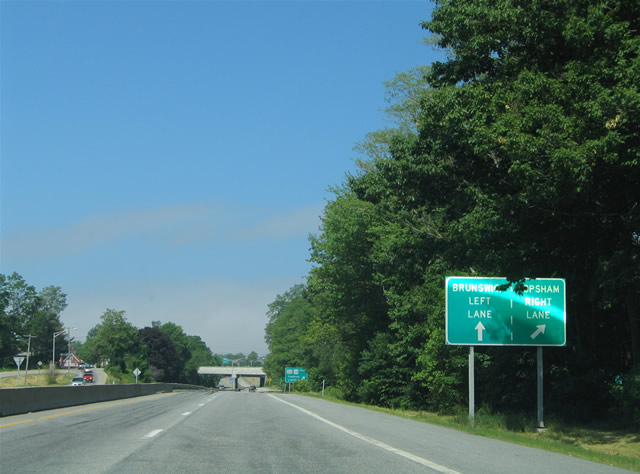
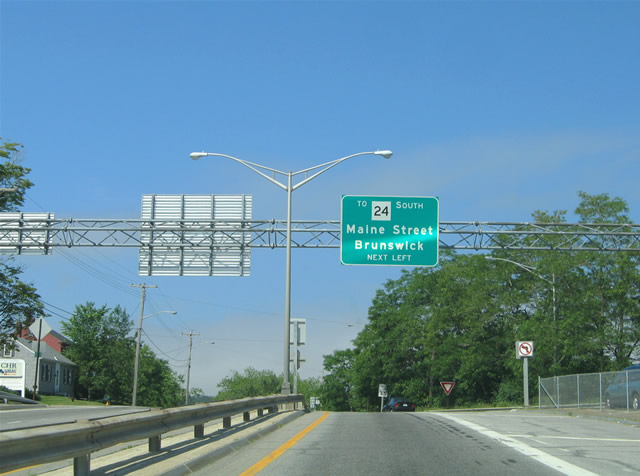
U.S. 201/Route 24 (Maine Street) meet U.S. 1 north of Downtown Brunswick. A modified diamond interchange joins the two roadways.
Previously the off-ramp to Main Street defaulted motorists onto U.S. 201/Route 24 north to Topsham. Changes made by 2013 added a left turn lane for Downtown.
06/28/05
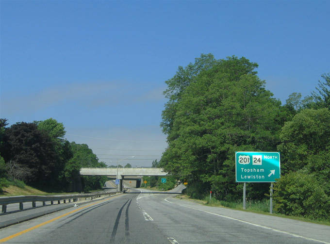
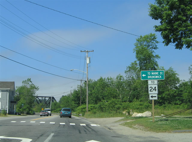
U.S. 1 south reaches the Maine Street off-ramp for the northbound beginning of U.S. 201 and Maine 24. U.S. 201 & Maine 24 span the Androscoggin River into Topsham where they split. U.S. 201 continues north parallel to Interstate 295 to Gardiner while Maine 24 branches northwest to Bowdoinham and Richmond.
06/28/05
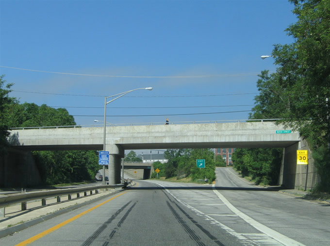
Water Street passes over the below grade U.S. 1 freeway at the SR 24 exit. The Brunswick central business district centers around Maine Street between the Androscoggin River and Pleasant Street.
06/28/05
U.S. 1 south (west) bound drops to one through lane at the U.S. 201/Route 24 (Maine Street) interchange. Pictured here is the Maine Street over crossing.
06/28/05
Until 2013 Cushing Street provided part of the movement from U.S. 1 south to Route 24 south via Pleasant Street east. Route 24 continues south from Downtown Brunswick to Bailey Island on the coast.
06/28/05

Cushing Street travels a short distance south from U.S. 1 (Mill Street) to Pleasant Street. Pleasant Street travels east-west between Maine 24 (Maine Street) and its merge with U.S. 1. Maine Street splits with Maine 24 at Bath Road and Bowdoin College.
06/28/05
U.S. 1 (Mill Street) southbound at Cushing Street. Maine 24 heads south for to Maine 123 (Harpswell Road), a north-south route between Brunswick and Harpswell Center.
06/28/05
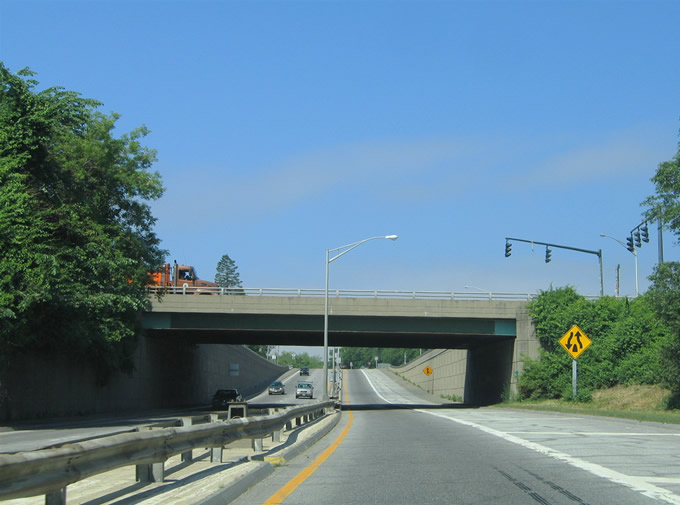
Approaching the Black Bridge over the Androscoggin River on U.S. 1 (Mill Street) south. The truss bridge carries a Maine Coast Railroad line. Built in 1989, the span includes a lower deck previously used for vehicular traffic to Bridge Street in Topsham. The 318-foot crossing was closed to vehicles in April 2011 after a traffic accident caused damage to guard rail and steel suspension rods. Funding for repairs, estimated to cost $750,000, was turned down by both the Broad of Selectmen in Topsham and Brunswick Town Council in June 2013.1
06/28/05

U.S. 1 leaves Mill Street for Pleasant Street in west Brunswick. Pleasant Street carries the US route west to the Coastal Connector and Old Portland Road.
06/28/05
Pleasant Street carries four narrow lanes along a commercial strip through west Brunswick. Traffic lights govern the movements of U.S. 1 at River Road, with River Road trekking northwest parallel to the Androscoggin to Maine 125 south of Lisbon Falls.
06/28/05
Church Road departs U.S. 1 (Pleasant Street) south for McKeen Street, Growstown and Pleasant Hill Road. Pleasant Hill Road provides an alternate route to U.S. 1 between Brunswick and Freeport.
06/28/05
Nearing the Coastal Connector on U.S. 1 (Pleasant Street) south. U.S. 1 curves southwest ahead onto Old Portland Road for the drive to Freeport. The Coastal Connector continues the roadway west directly to Interstate 295.
06/30/11
U.S. 1 transitions onto the U.S. 1 connector beginning and utilizes a u-turn ramp onto the eastbound connector for Old Portland Road south. There is no direct continuation of U.S. 1 south via a left-turn ramp because of the U.S. 1 connector.
06/30/11
Westbound at the U.S. 1 south u-turn ramp on the U.S. 1 connector. The connector continues west a short distance to a trumpet interchange (Exit 28) with Interstate 295. U.S. 1 otherwise follows Old Portland Road to Main Street in Freeport.
06/30/11
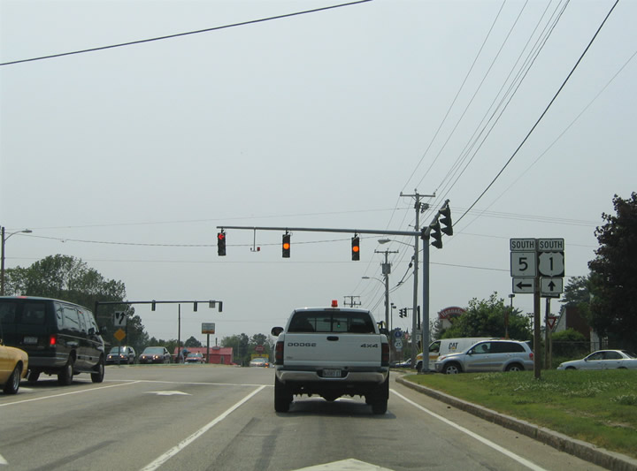
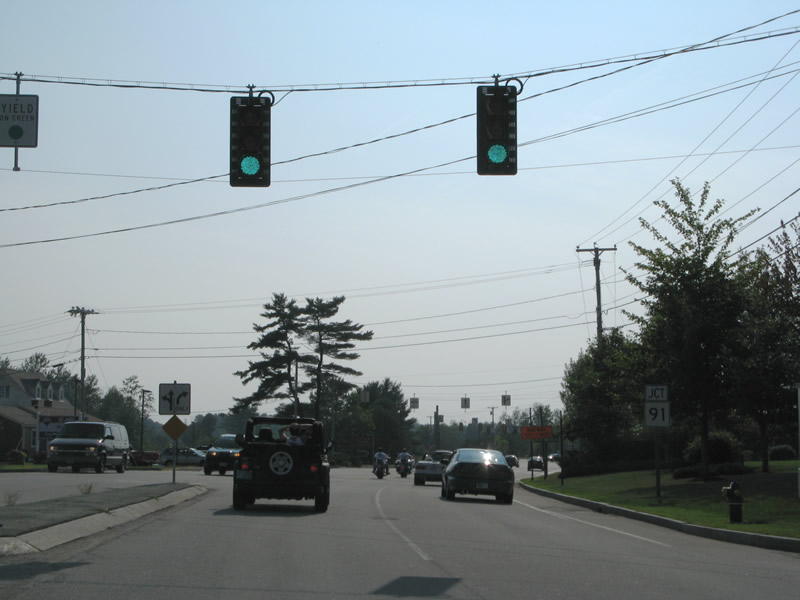
Entering the city of Saco, U.S. 1 meets Interstate 195 at a three-quarter cloverleaf interchange north of the commercial strip into Downtown. South of the freeway, U.S. 1 combines with Maine 5 (Ocean Park Road) along Main Street. Maine 5 enters Saco from the Old Orchard Beach and Ocean Park vicinity along the coast.
06/27/05
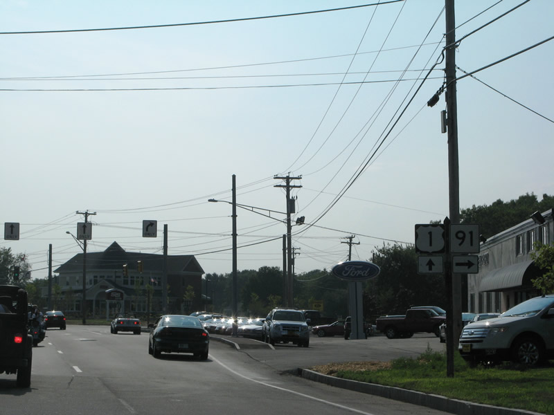
U.S. 1 south & Maine 5 north overlap a short distance south to Maine 112 (North Street). Maine 5 turns westward with Maine 112 to Spring and Bradley Streets and its departure of Saco. U.S. 1 meanwhile turns onto Elm Street southwest to Biddeford.
06/27/05
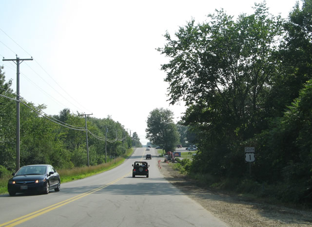
Southbound U.S. 1 (Blue Star Memorial Highway) after the intersection with Chases Pond Road near Yorks Corner. Chases Pond Road joins U.S. 1 with Interstate 95 (Maine Turnpike) at Exit 7.
07/29/07
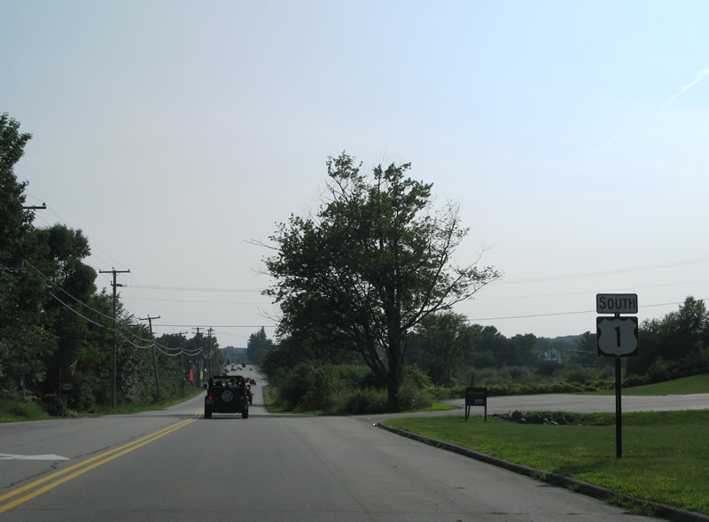
Approaching the south end of the U.S. 1A (York Street) loop from York Village and York Harbor on U.S. 1 south at York Corner. A Maine 91 trailblazer directs motorists from I-95 to remain along U.S. 1 to its nearby beginning.
07/29/07
U.S. 1A (York Street) loops east through York Village and York Harbor and north through York Beach. Connections with Maine 103 (Lilac Lane) lead drivers south from York Harbor to Seabury.
07/29/07
U.S. 1 (Blue Star Memorial Highway) maintains four overall lanes through York Corner to Maine 91 (Cider Hill Road). A second left turn for York Street and U.S. 1A is available.
07/29/07
A shopping center entrance precedes the intersection between U.S. 1 (Blue Star Memorial Highway) and Maine 91 (Cider Hill Road) north.
07/29/07
Maine 91 travels 2.1 miles northwest to Cider Hill and Scotland parallel to the York River.
07/29/07
Maine 91 (Cider Hill Road) travels 7.7 miles between York Corner and Maine 236 at Jewitt. SR 236 ventures north from the end of SR 91 to the South Berwick town center.
07/29/07
U.S. 1 spans the York River across the Rice's Bridge near Goodrich Point.
07/29/07
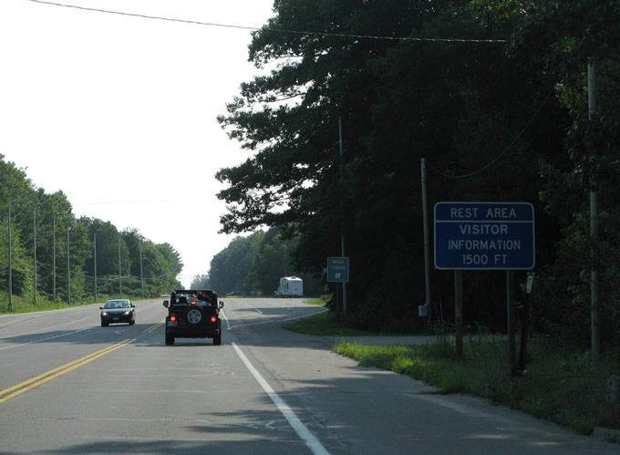
U.S. 1 enters the town of Kittery ahead of a dual rest area and weigh station. The rest area and tourist information center lies adjacent to Interstate 95 (Maine Turnpike) northbound, with an access road linking U.S. 1 to the facility.
07/29/07
Reassurance marker posted along U.S. 1 south after the rest area and weigh station.
07/29/07
U.S. 1 (Blue Star Memorial Highway) intersects Cutts Road and proceeds south to the Spruce Creek crossing in Kittery.
07/29/07
U.S. 1 expands into a four lane commercial arterial ahead of Spruce Creek and The Kittery Outlets retail area.
07/29/07
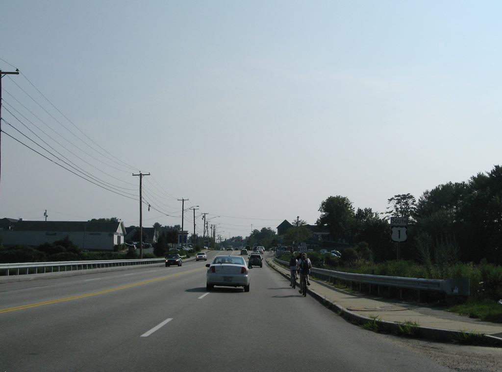
Maine 101 (Wilson Road) ties into U.S. 1 just west of Spruce Creek from East Eliot to the north.
07/29/07
Maine 101 travels 8.1 miles overall between U.S. 1 and the Salmon Falls River crossing into New Hampshire. The state route is not connected with NH 101. SR 101 otherwise serves Goulds Corner and Rosemary on the drive through the towns of Kittery and Elliot.
07/29/07
Reassurance marker posted along U.S. 1 south after Maine 101.
07/29/07
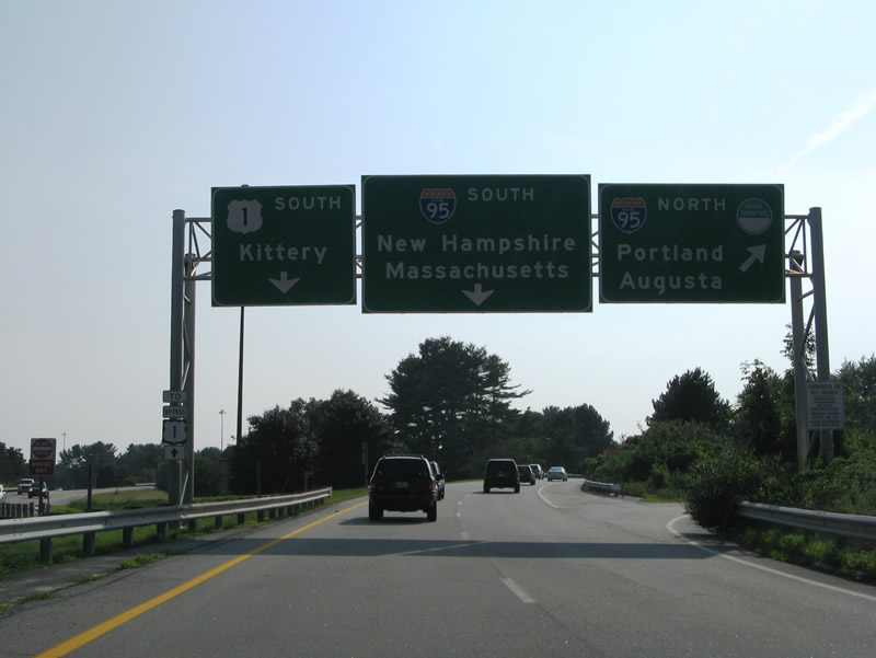
Ramps tie U.S. 1 in with adjacent Interstate 95 as the route prepares to separate with U.S. 1 Bypass south to Portsmouth, New Hampshire.
07/29/07
Drivers bound for Interstate 95 and the Piscataqua River Bridge into New Hampshire depart U.S. 1 south. 60 miles separate Kittery from Boston, Massachusetts via I-95 and U.S. 1 south.
07/29/07
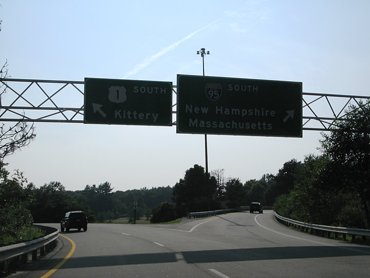
U.S. 1 south curves to rejoin the northbound roadway of U.S. 1 ahead of the split with U.S. 1 Bypass. U.S. 1 Bypass follows a partially controlled access route into Portsmouth, New Hampshire via a two lane lift bridge while U.S. 1 takes a dog leg east alongside SR 236 (Harold L. Dow Highway) to Remick Corners.
07/29/07
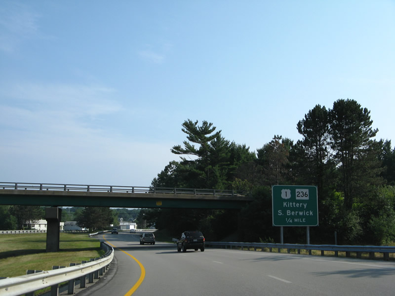
The southbound mainline defaults onto the beginning of U.S. 1 Bypass south while U.S. 1 south departs via an off-ramp to Maine 236 (Harold L. Dow Highway). Maine 236 south connects U.S. 1 with Maine 103 near Seavy Island and the Portsmouth Naval Base. Maine 236 north heads to the town of Elliot and South Berwick.
07/29/07
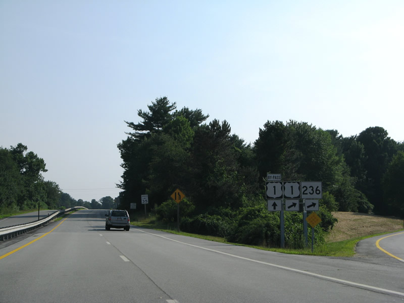
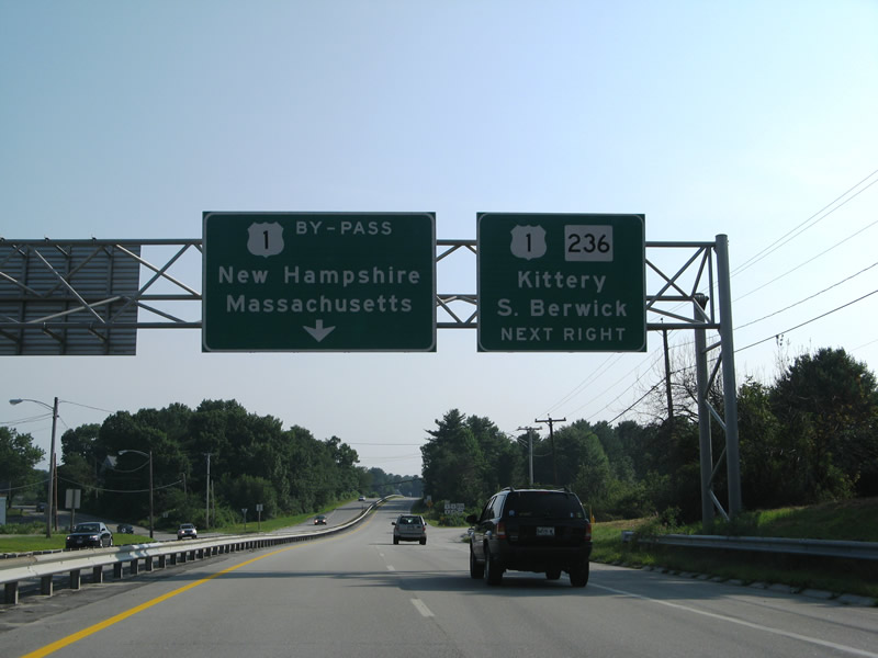
Shields posted at the split of U.S. 1 Bypass and U.S. 1 south at Maine 236. U.S. 1 Bypass reduces to two lanes briefly and continues to Maine 103 (Dennett Road / Elliot Road). The U.S. 1 Bypass alignment represents the original connection between the New Hampshire and Maine Turnpikes.
07/29/07
References:
- "Topsham, Brunswick decisions doom Black Bridge vehicle traffic." The Forecaster (Falmouth, ME), July 23, 2013.
Photo Credits:
- Alex Nitzman, Carter Buchanan: 06/27/05, 06/28/05
- I.C. Ligget: 06/30/11
- AARoads: 07/29/07
Connect with:
Page Updated Monday February 02, 2015.