
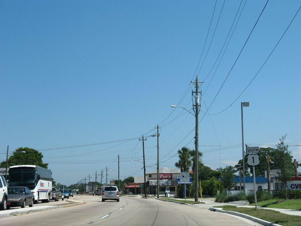
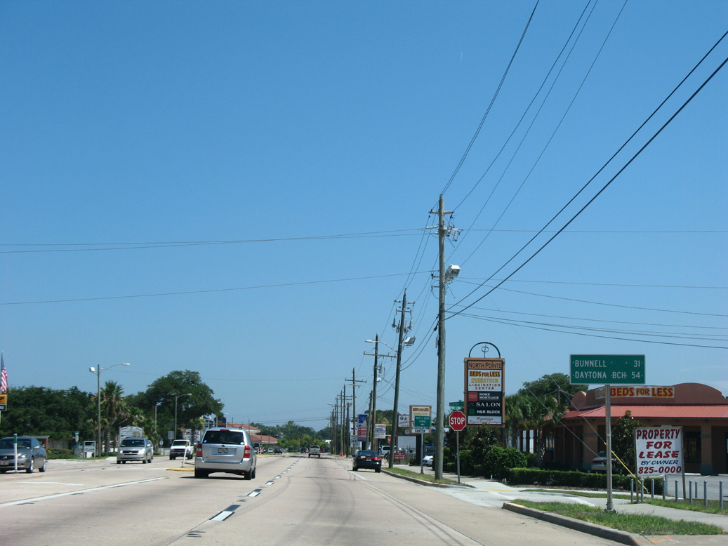
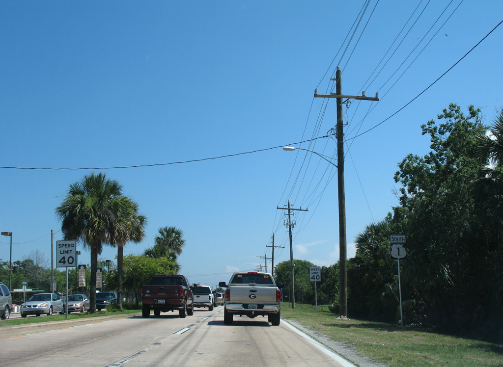
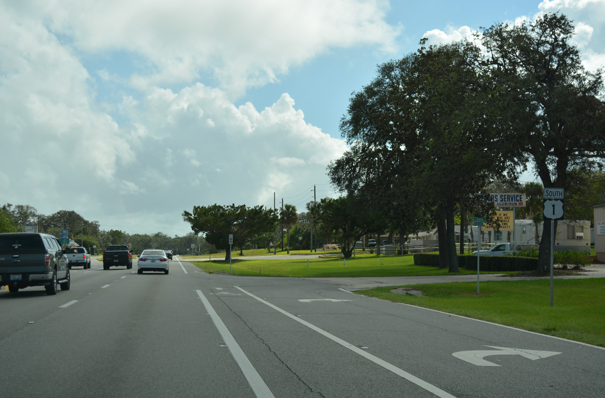
U.S. 1 South - Nocatee to St. Augustine Shores

 South
South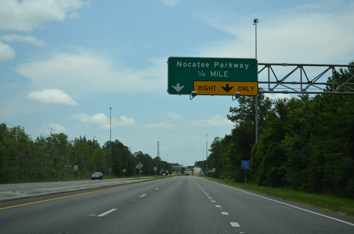
U.S. 1 advances a half mile south from Race Track Road to the entrance ramp for Nocatee Parkway eastbound.
06/16/16
06/16/16
06/16/16
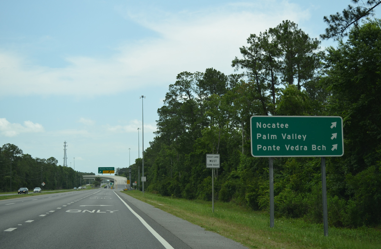
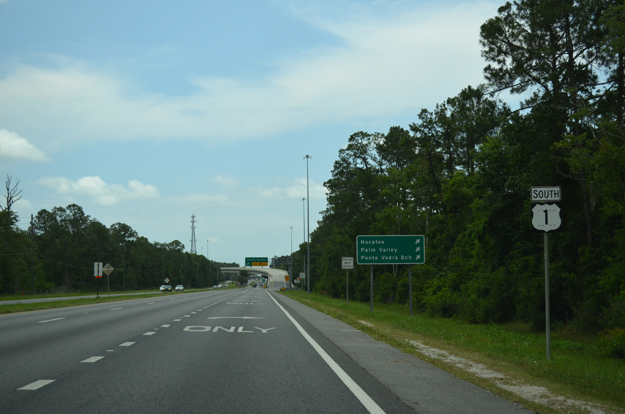
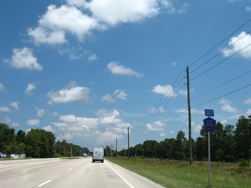
Nocatee Parkway is a limited access highway running east to Nocatee and linking U.S. 1 with Palm Valley Road (CR 210) east to Palm Valley and SR A1A north to Ponte Vedra Beach.
06/16/16
06/16/16
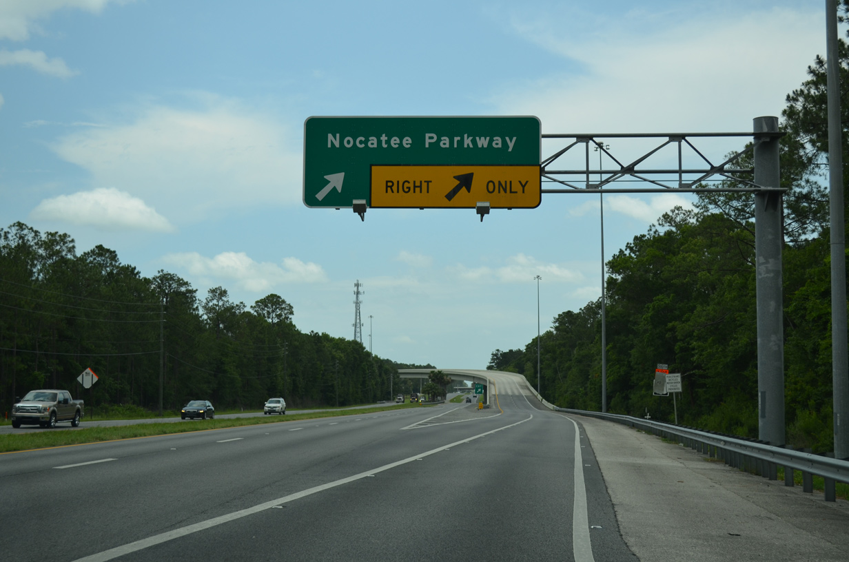
A two lane flyover connects U.S. 1 south with Nocatee Parkway. Nocatee Parkway opened east to Valley Ridge Boulevard in November 2010.
06/16/16
06/16/16
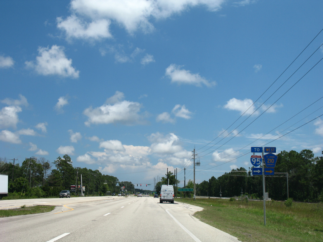
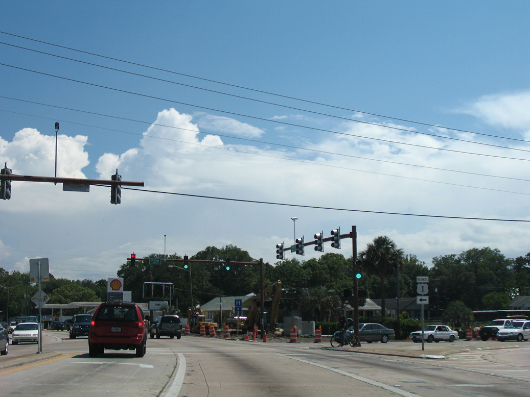
U.S. 1 south at CR 210 west.
06/13/08
06/13/08
06/13/08
06/13/08
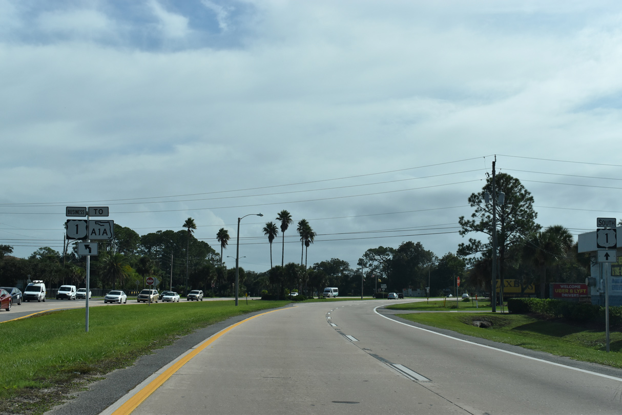
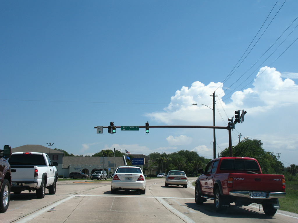
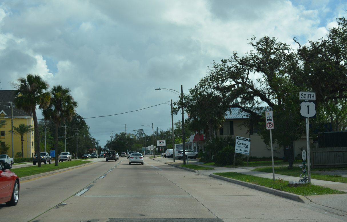
Heading south into the city of St. Augustine, U.S. 1 (Ponce De Leon Boulevard) previously separated with U.S. 1 Business at a wye intersection with San Marco Avenue.
11/06/19
11/06/19
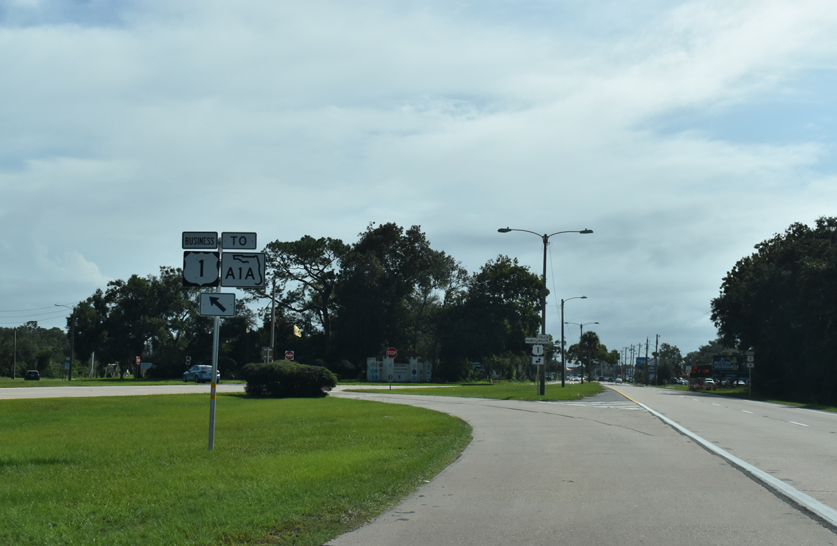
U.S. 1 Business looped 3.25 miles south along San Marco Avenue to SR A1A at the Bridge of Lions and west along King Street back to U.S. 1 at CR 214. SR A1A follows San Marco Avenue 1.34 miles south from May Street to Cathedral Place.
11/06/19
11/06/19

With the transfer of maintenance of a portion of the route from FDOT to the city of St. Augustine, U.S. 1 Business was decommissioned in 2022.
11/06/19
11/06/19
Confirming marker posted south of SR 16 (Picolata Road).
06/14/08
06/14/08
06/14/08
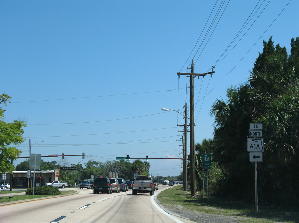
San Carlos Avenue links U.S. 1 (Ponce De Leon Boulevard) with SR A1A (May Street) north to Vilano Beach and SR A1A (San Marco Avenue) south to Downtown St. Augustine.
06/14/08
06/14/08
U.S. 1 (Ponce De Leon Boulevard) stays west of the St. Augustine Historic District and Downtown along the San Sebastian River.
06/14/08
06/14/08
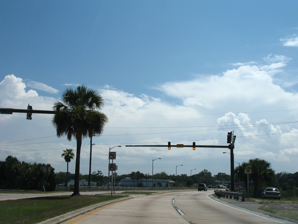
Castillo Street leads east to the St. Augustine Historic Downtown Parking Facility and SR A1A (San Marco Avenue) near Castillo de San Marcos National Monument.
06/14/08
06/14/08
Shifting west through an S-curve, U.S. 1 crosses the San Sebastian River beyond an emergency signal for the St. Augustine Fire Department.
06/14/08
06/14/08
The Ponce De Leon Bridge crosses the San Sebastian River adjacent to the Florida East Coast (FEC) Railway.
06/14/08
06/14/08
U.S. 1 Business south returned to U.S. 1 along King Street beyond the San Sebastian River. West from U.S. 1, King Street is CR 214, a 14.97 mile long route to CR 13 at Tocoi along the St. Johns River.
06/14/08
06/14/08
10/15/17
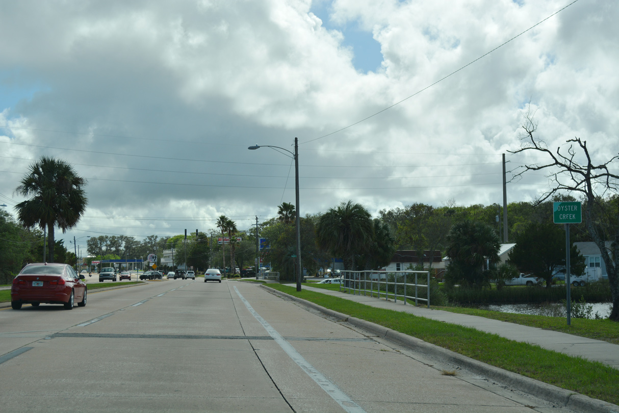
Continue south through another S-curve, U.S. 1 (Ponce De Leon Boulevard) crosses Oyster Creek adjacent to the San Sebastian River.
10/15/17
10/15/17
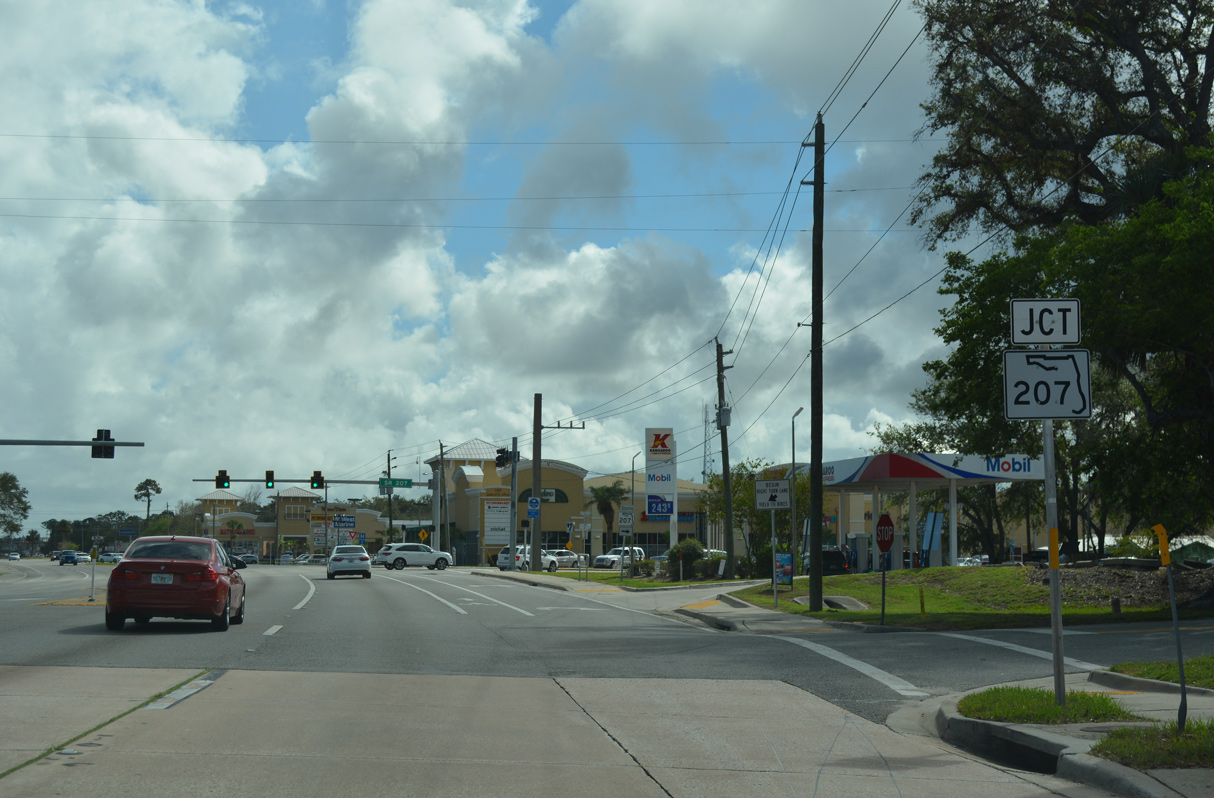
State Road 207 branches southwest from U.S. 1 (Ponce De Leon Boulevard) to Hastings.
10/15/17
10/15/17
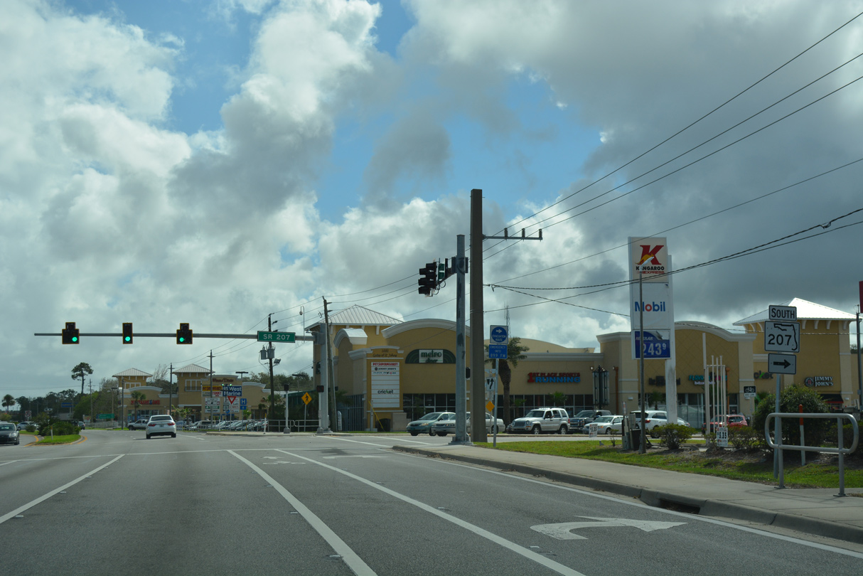
SR 207 runs 24.43 miles southwest from St. Augustine to U.S. 17/SR 100 at East Palatka.
10/15/17
10/15/17
10/15/17
10/15/17
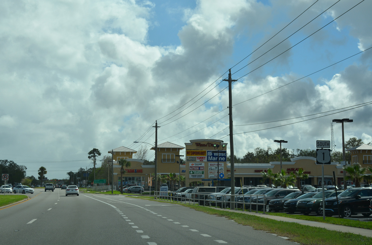
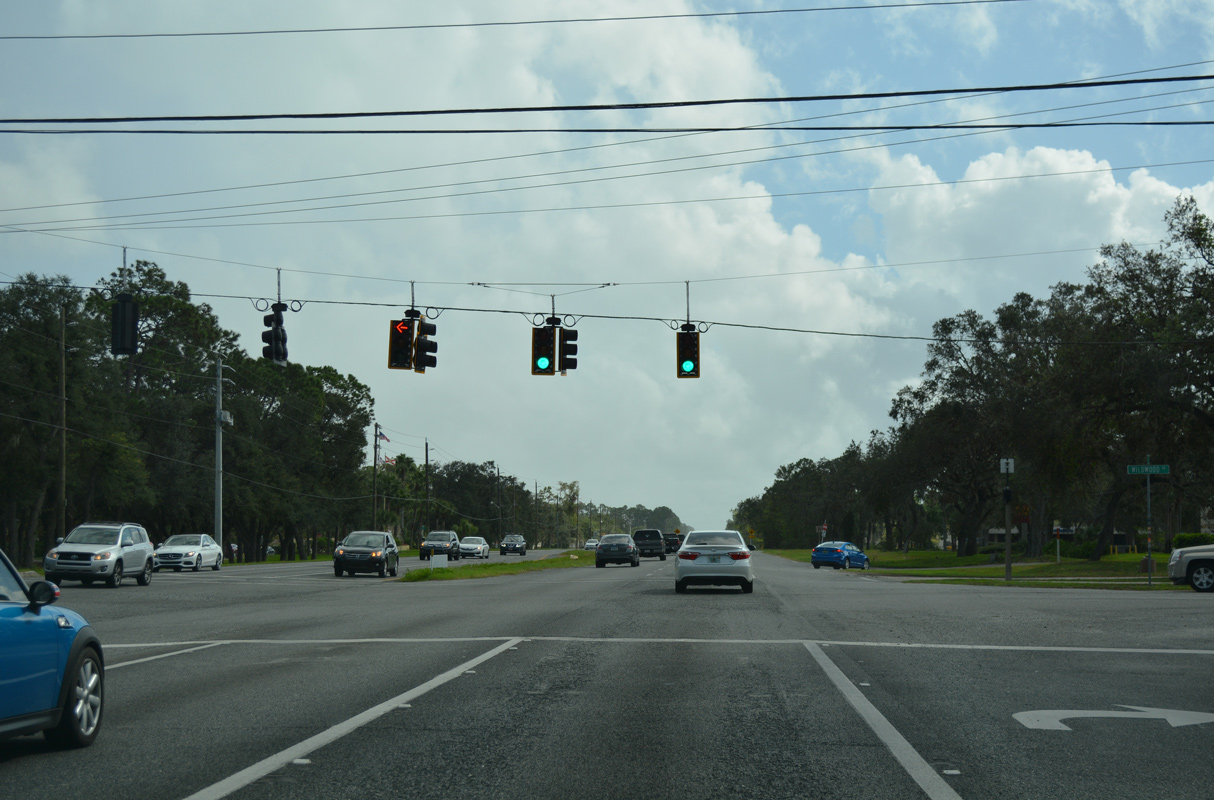
Shopping centers line all four corners of the forthcoming intersection joining U.S. 1 with SR 312.
10/15/17
10/15/17
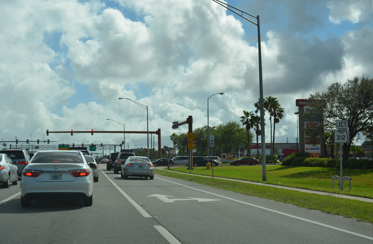
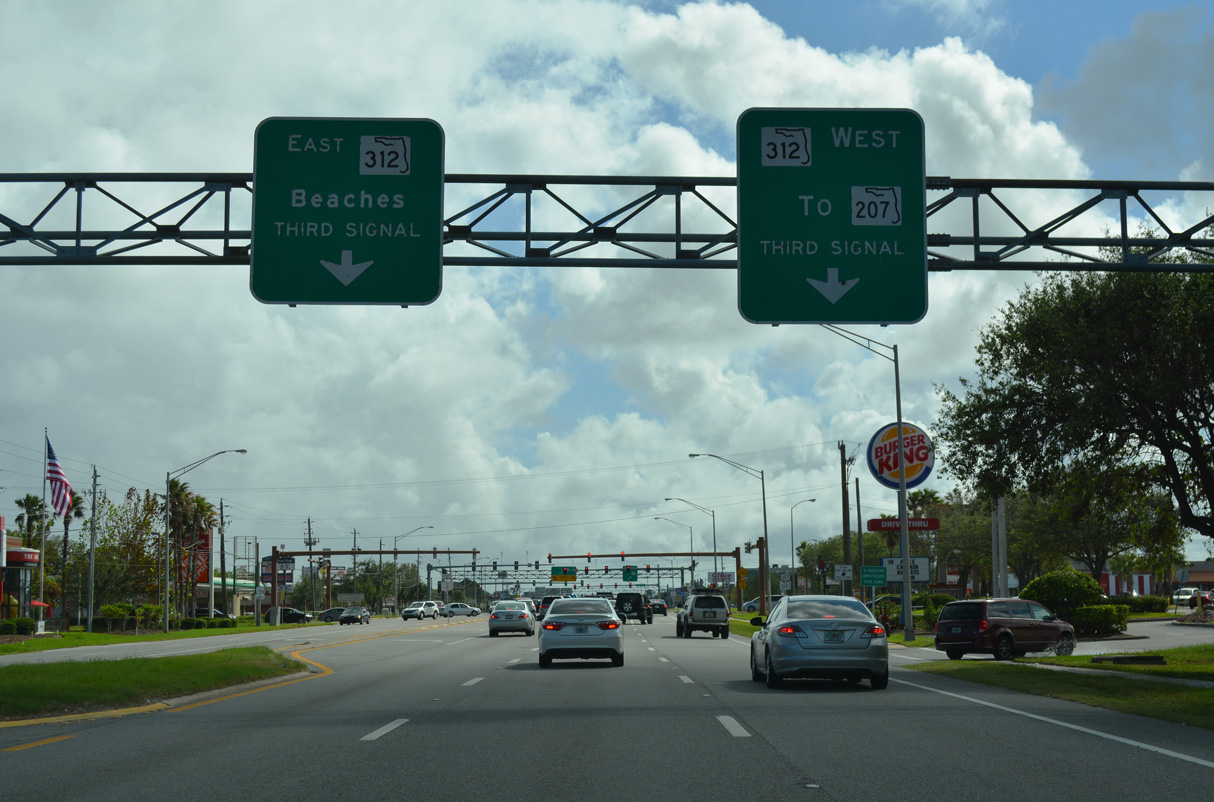
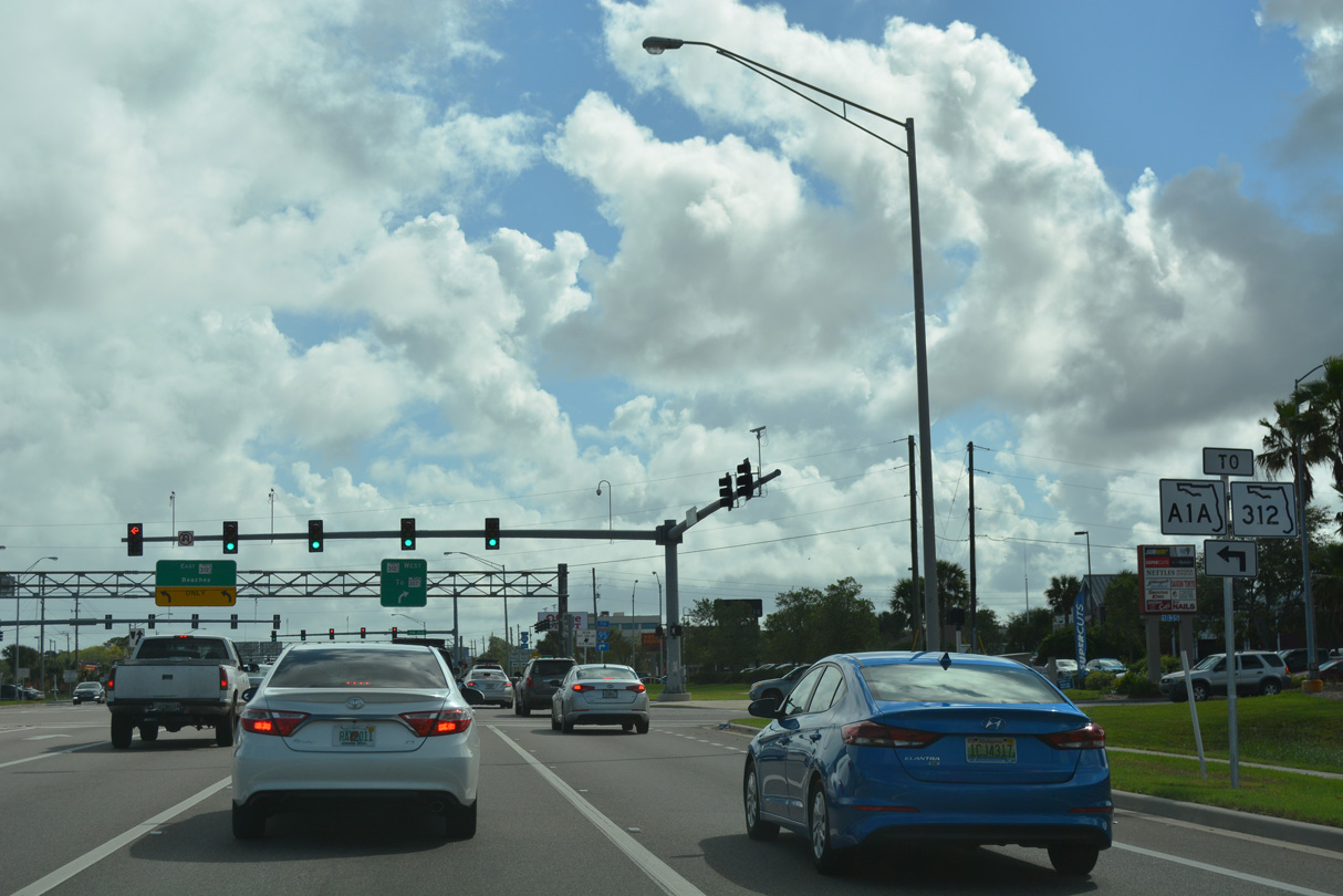
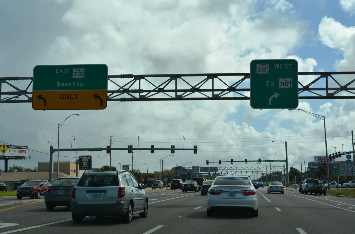
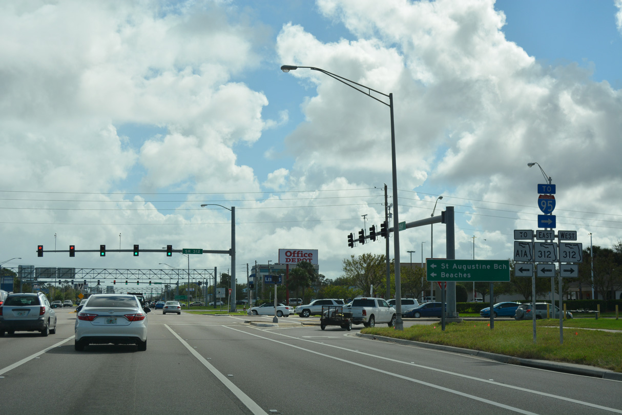
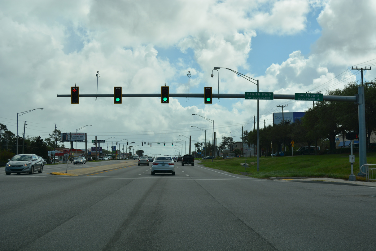
The signalized entrance to Seabridge Square shopping center precedes SR 312, a 3.84 mile long arterial route linking U.S. 1 with SR 207 to the west and SR A1A and CR A1A to the east.
10/15/17
10/15/17
SR A1A heads south from St. Augustine along Anastasia Island to the city of St. Augustine Beach and community of Crescent Beach.
10/15/17
10/15/17
10/15/17
10/15/17
10/15/17
10/15/17
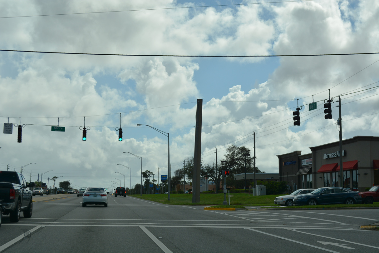
Shore Drive ties into U.S. 1 west from St. Augustine South across from Ponce De Leon Mall.
10/15/17
10/15/17
10/15/17
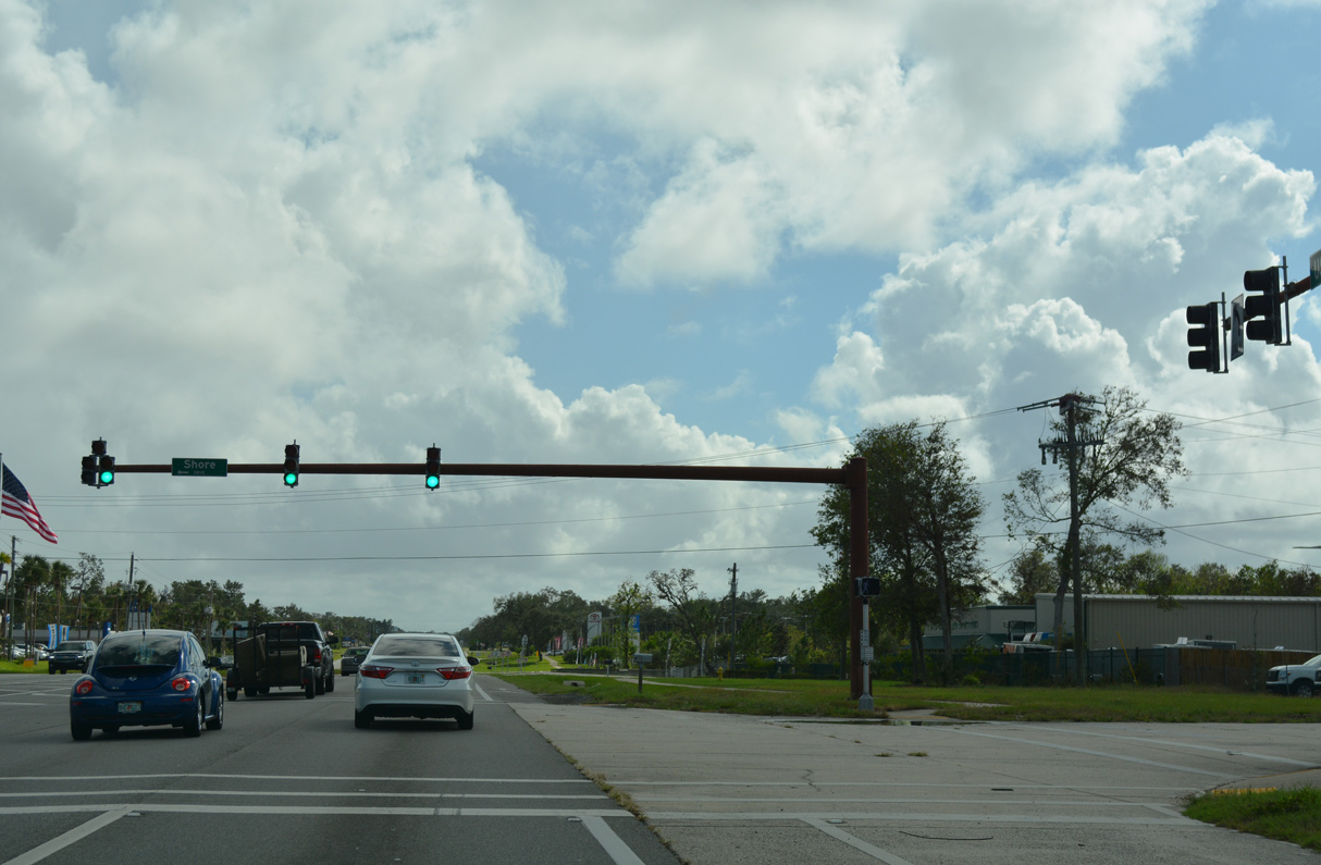
Shore Drive encircles the community of St. Augustine South along the Matanzas River and Moultrie Creek east from U.S. 1.
10/15/17
10/15/17
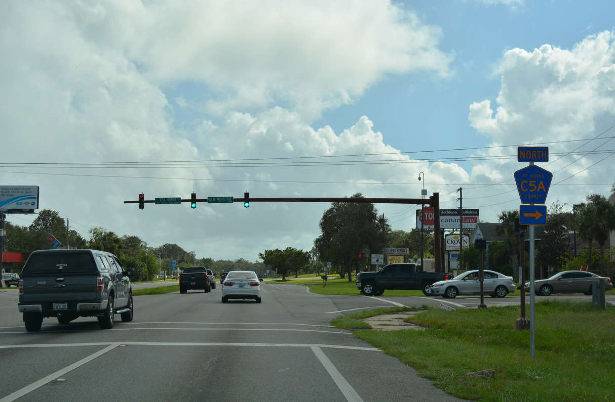
County Road 5A loops west and north from U.S. 1 along Old Mountrie Road back to St. Augustine.
10/15/17
10/15/17
10/15/17
10/15/17
10/15/17
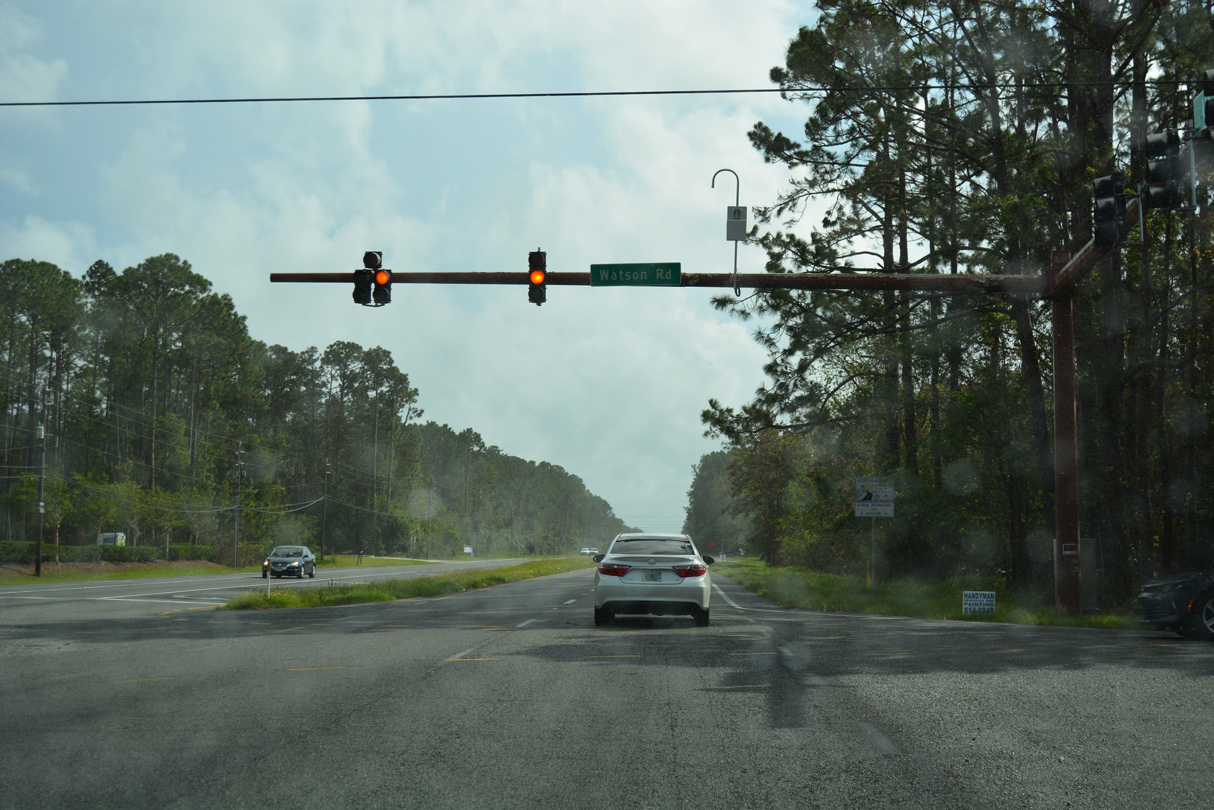
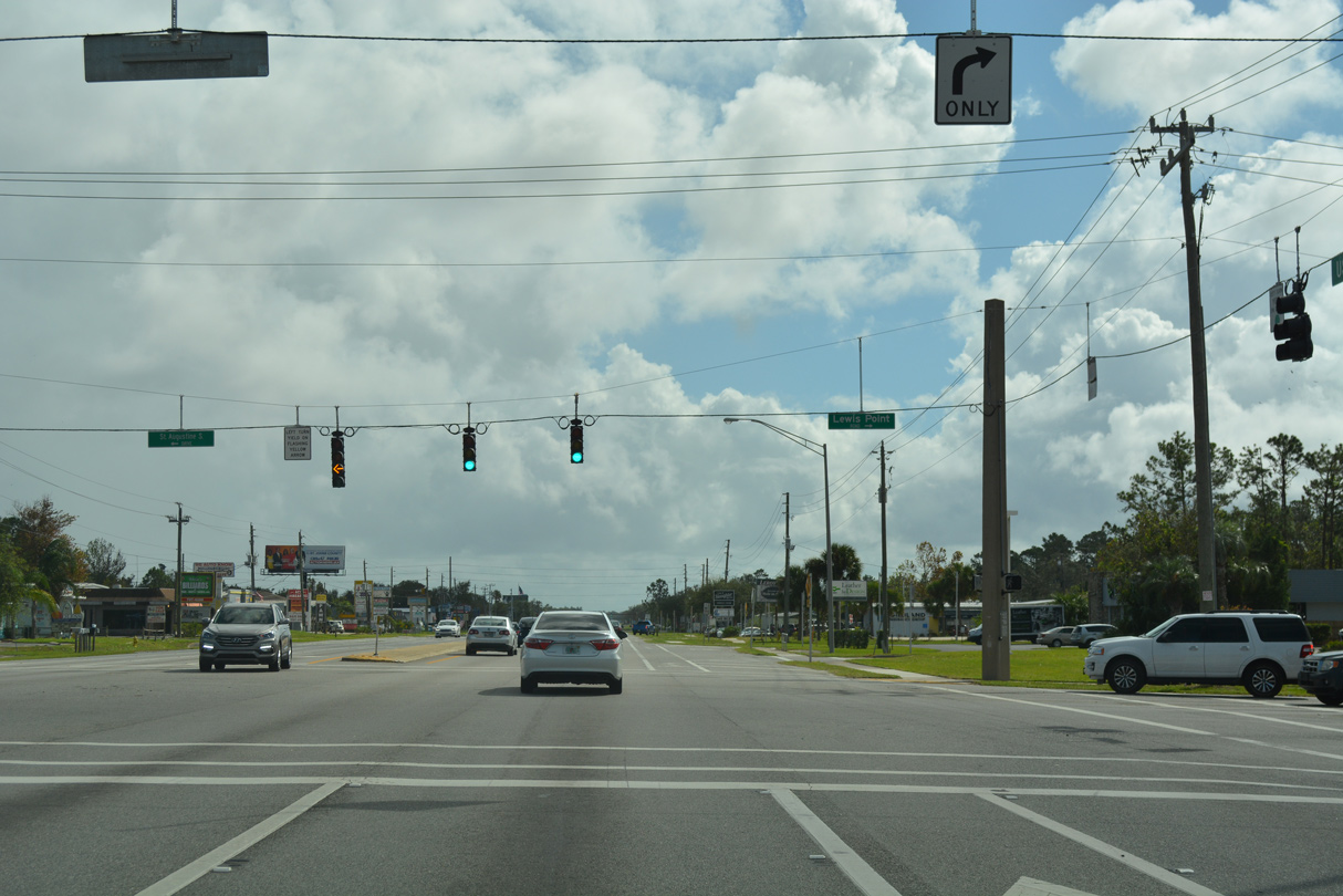
U.S. 1 south at Watson Road and the St. Augustine Shores community.
10/15/17
10/15/17

Shores Boulevard loops east around St. Augustine Shores from U.S. 1.
10/15/17
10/15/17
10/15/17
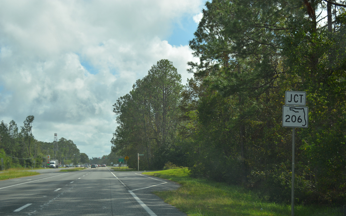
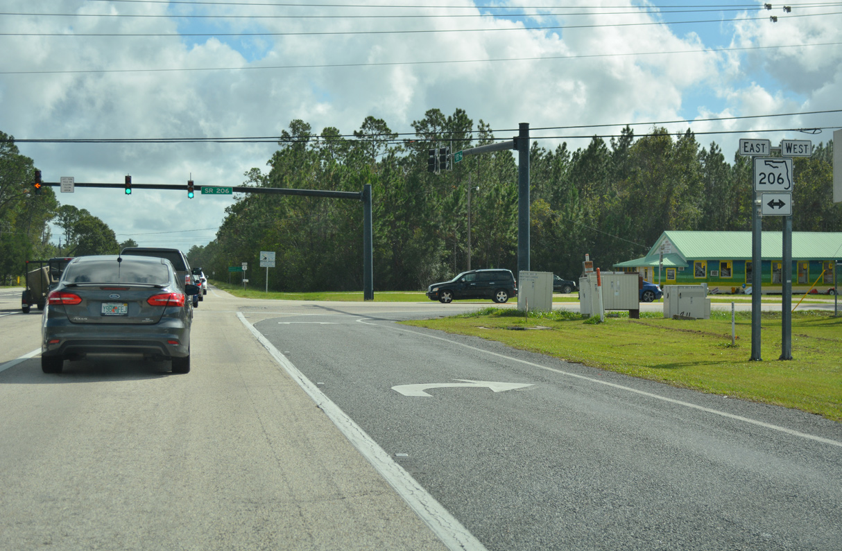
Forthcoming SR 206 travels 14.48 miles west from SR A1A at Crescent Beach to SR 207 between Spuds and Hastings.
10/15/17
10/15/17
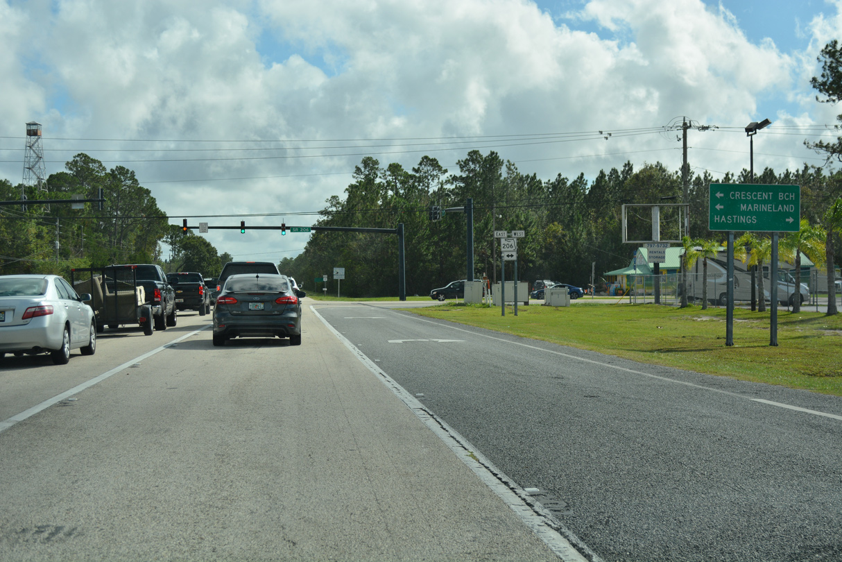
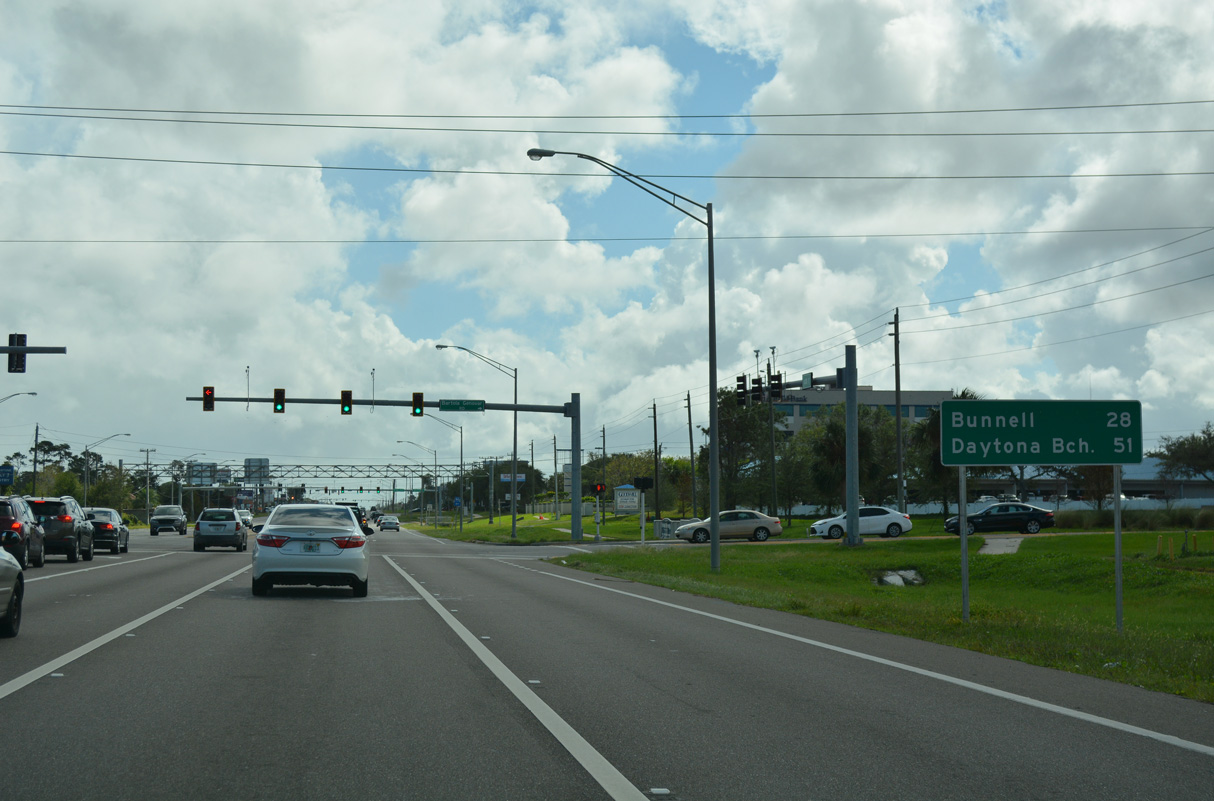
The town of Marineland lies 11 miles to the southeast along the Atlantic Coast on SR A1A.
10/15/17
10/15/17
10/15/17

10/15/17
10/15/17
U.S. 1 south at the Double Gate Road Entrance to Matanzas State Forest.
10/15/17
10/15/17
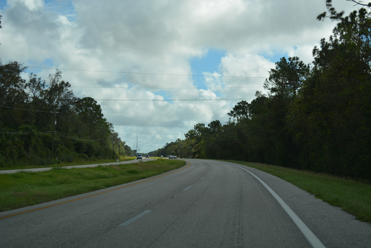
South beyond Matanzas State Forest, U.S. 1 runs along the west side of Faver-Dykes State Park.
10/15/17
10/15/17
10/15/17
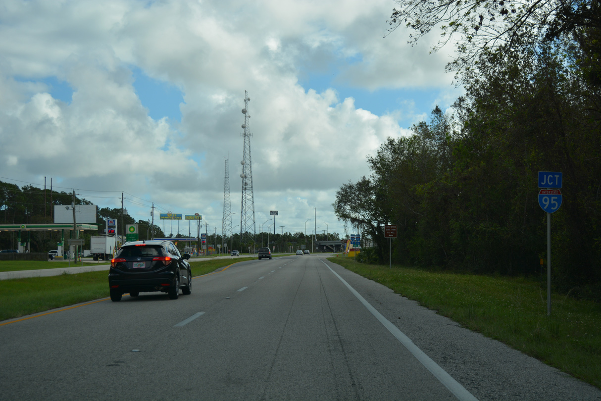
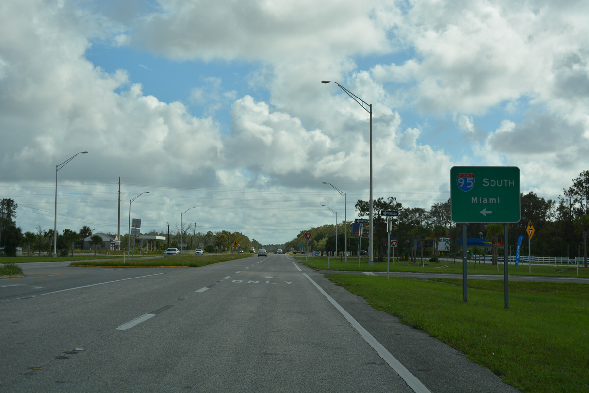
Interstate 95 shifts east of U.S. 1 at the south end of St. Johns County.
10/15/17
10/15/17
Interstate 95 north travels well inland past St. Augustine en route to Jacksonville.
10/15/17
10/15/17
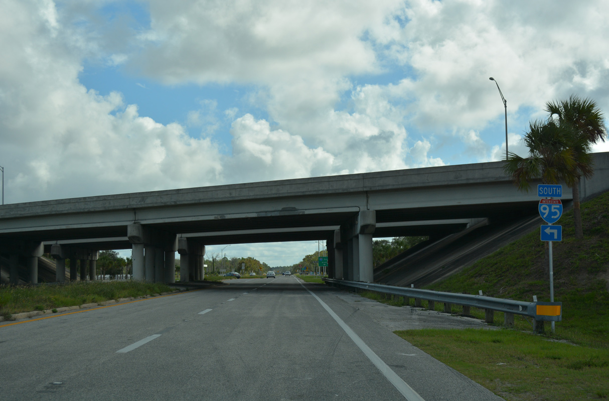
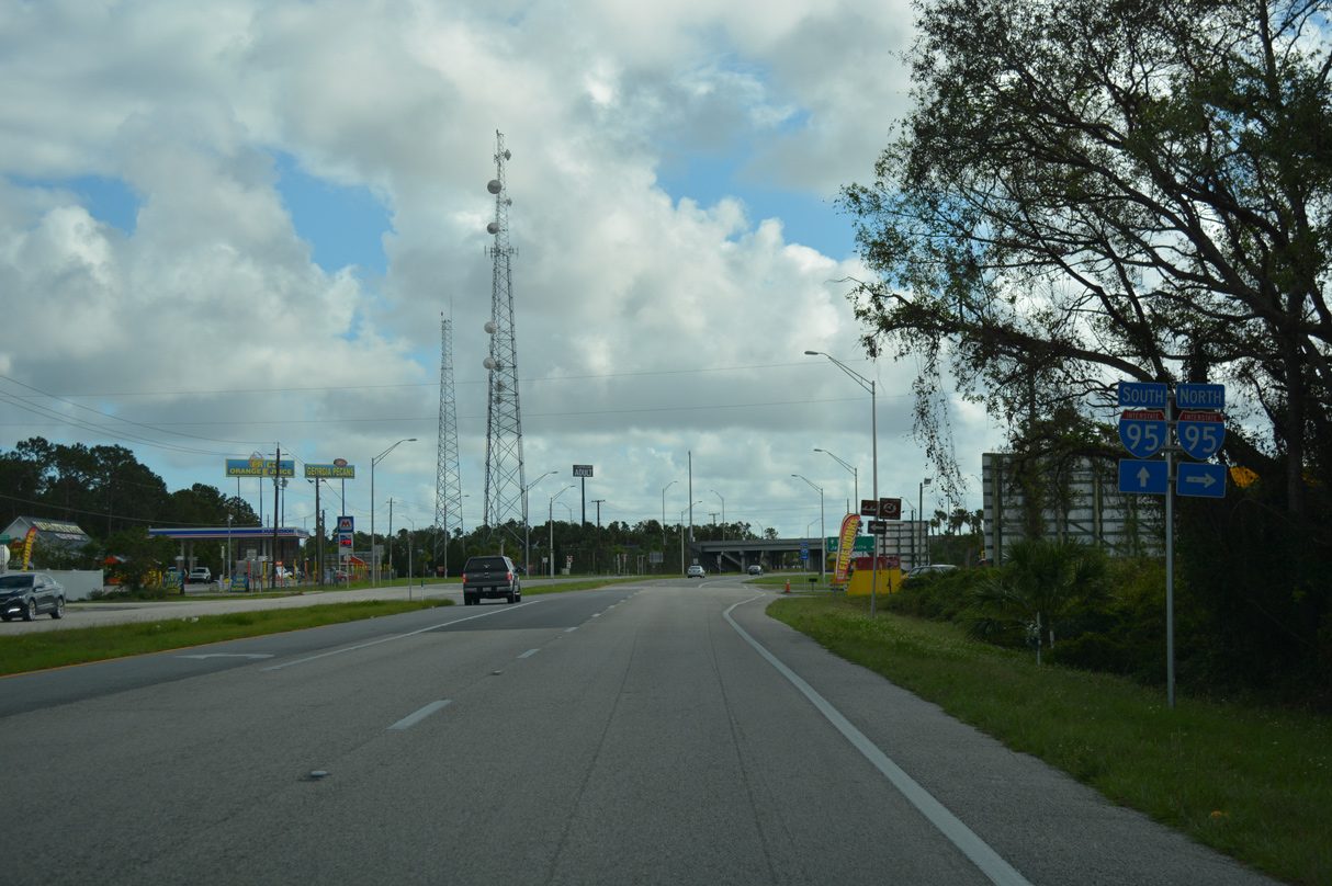
A diamond interchange connects U.S. 1 with Interstate 95 at Exit 298.
10/15/17
10/15/17
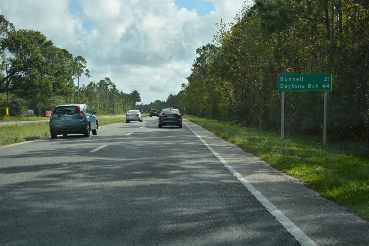
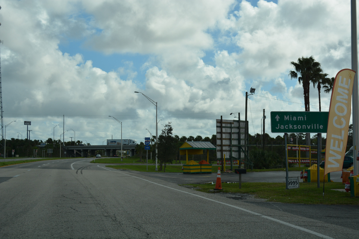
Interstate 95 stays east of U.S. 1 through Palm Coast. U.S. 1 south meets I-95 again in 26.1 miles.
10/15/17
10/15/17
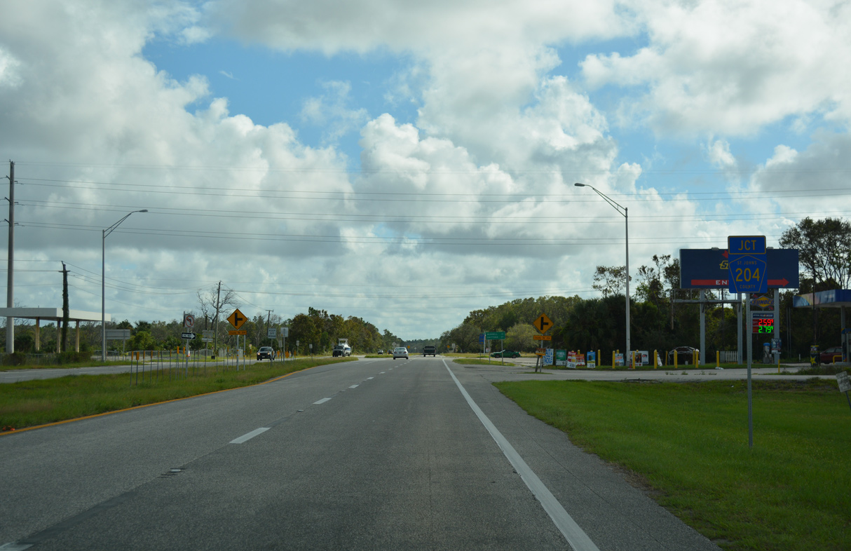
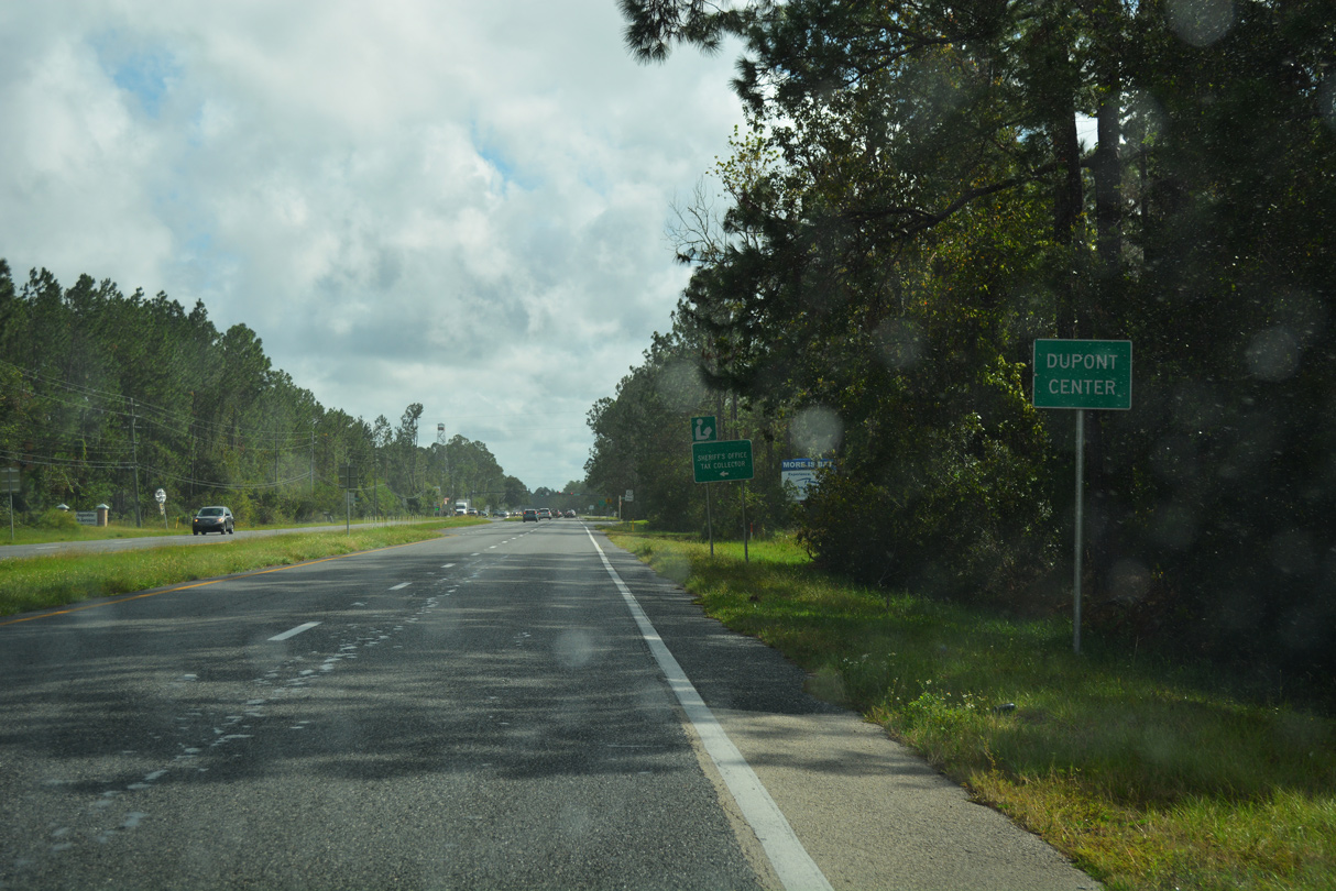
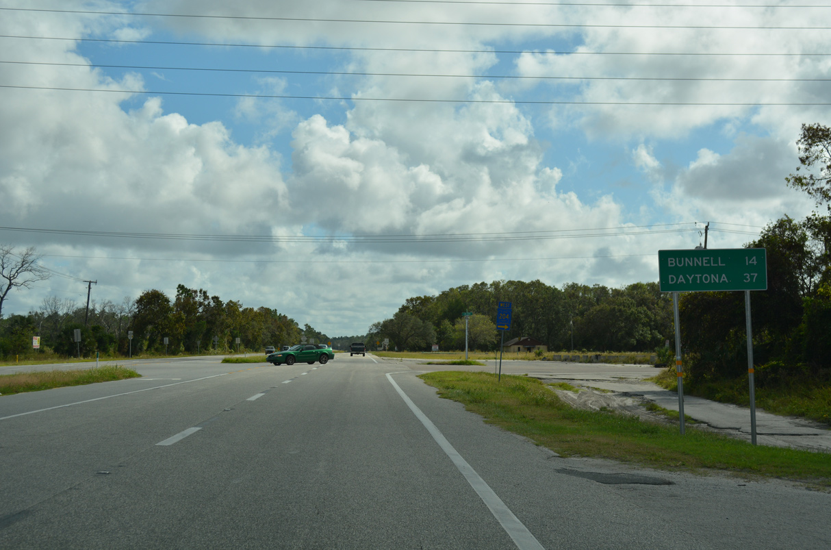
St. Johns County Road 204 stems 5.60 miles west from U.S. 1 just south of I-95 to CR 13 at Old Brick Road.
10/15/17
10/15/17
10/15/17
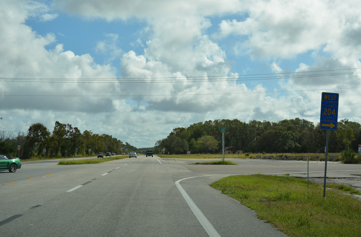
CR 204 west to CR 13 leads eight miles to Flagler Estates and 15 miles to Hastings.
10/15/17
10/15/17
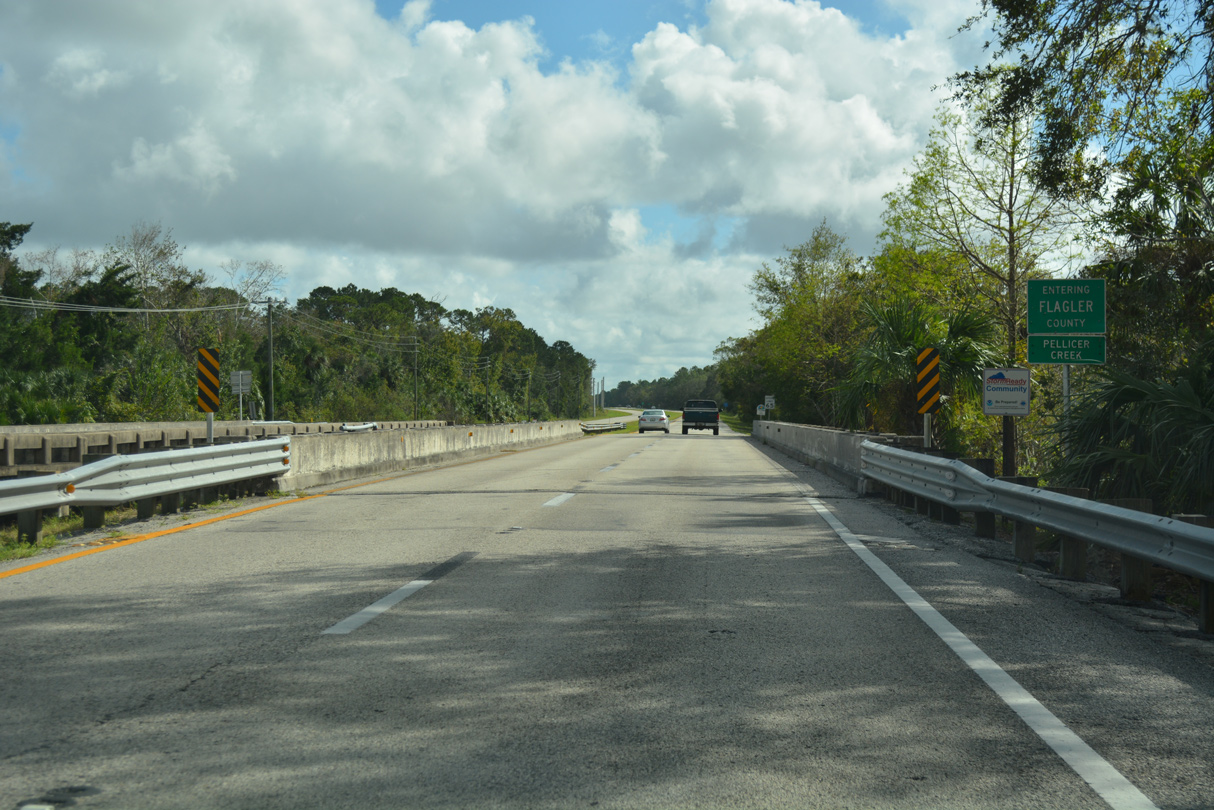
U.S. 1 crosses Pellicer Creek south of CR 204 into Flagler County.
10/15/17
10/15/17

Photo Credits:
- ABRoads, JP Nasiatka: 06/16/16
- Alex Nitzman: 06/13/08, 06/14/08, 10/15/17
- Alex Nitzman, JP Nasiatka: 11/06/19
Connect with:
Page Updated Friday September 02, 2022.