
U.S. 1 South - St. Lucie County

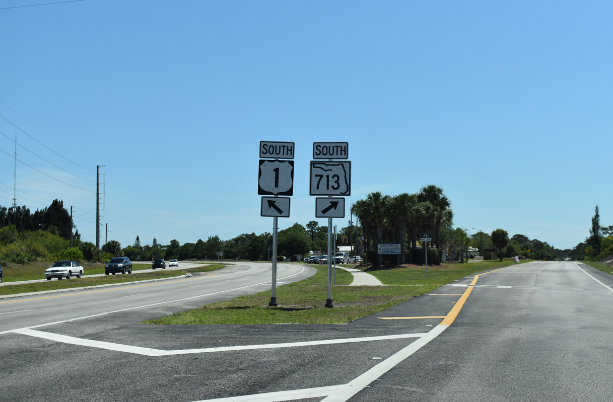
 South
South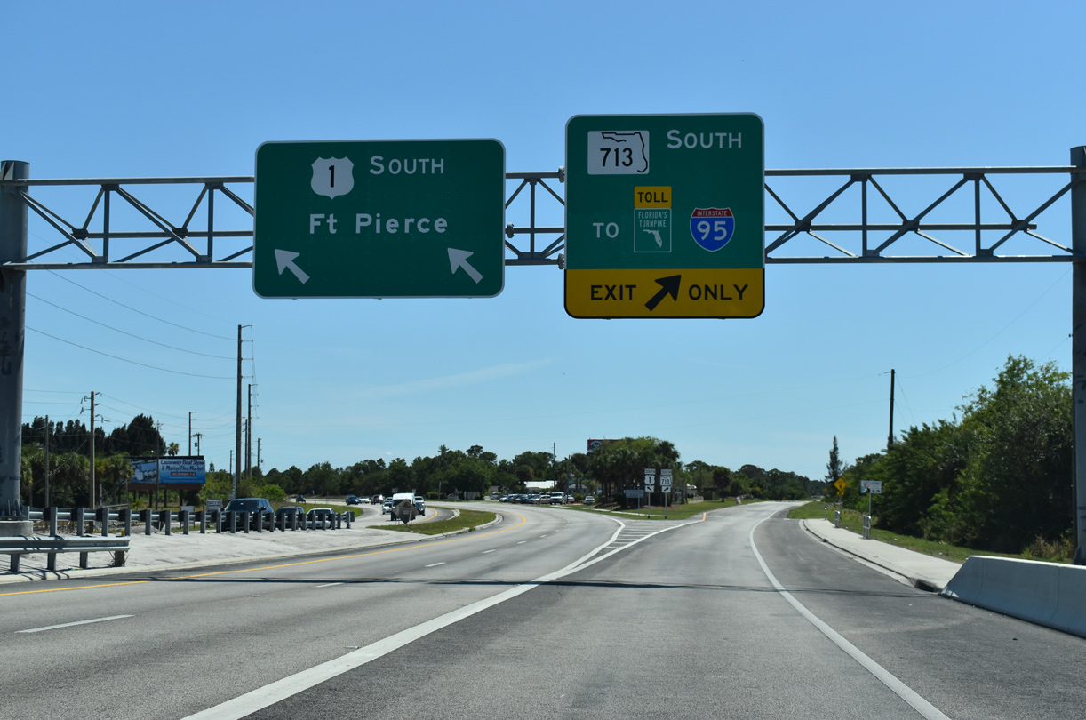
State Road 713 angles southwest through the community of Lakewood Park to SR 614 / CR 614 (Indrio Road). Kings Highway continues the route due south to the interchange joining Florida's Turnpike with SR 70 (Okeechobee Road).
04/24/19
SR 713 travels 10.20 miles overall between U.S. 1 and SR 70.
04/24/19

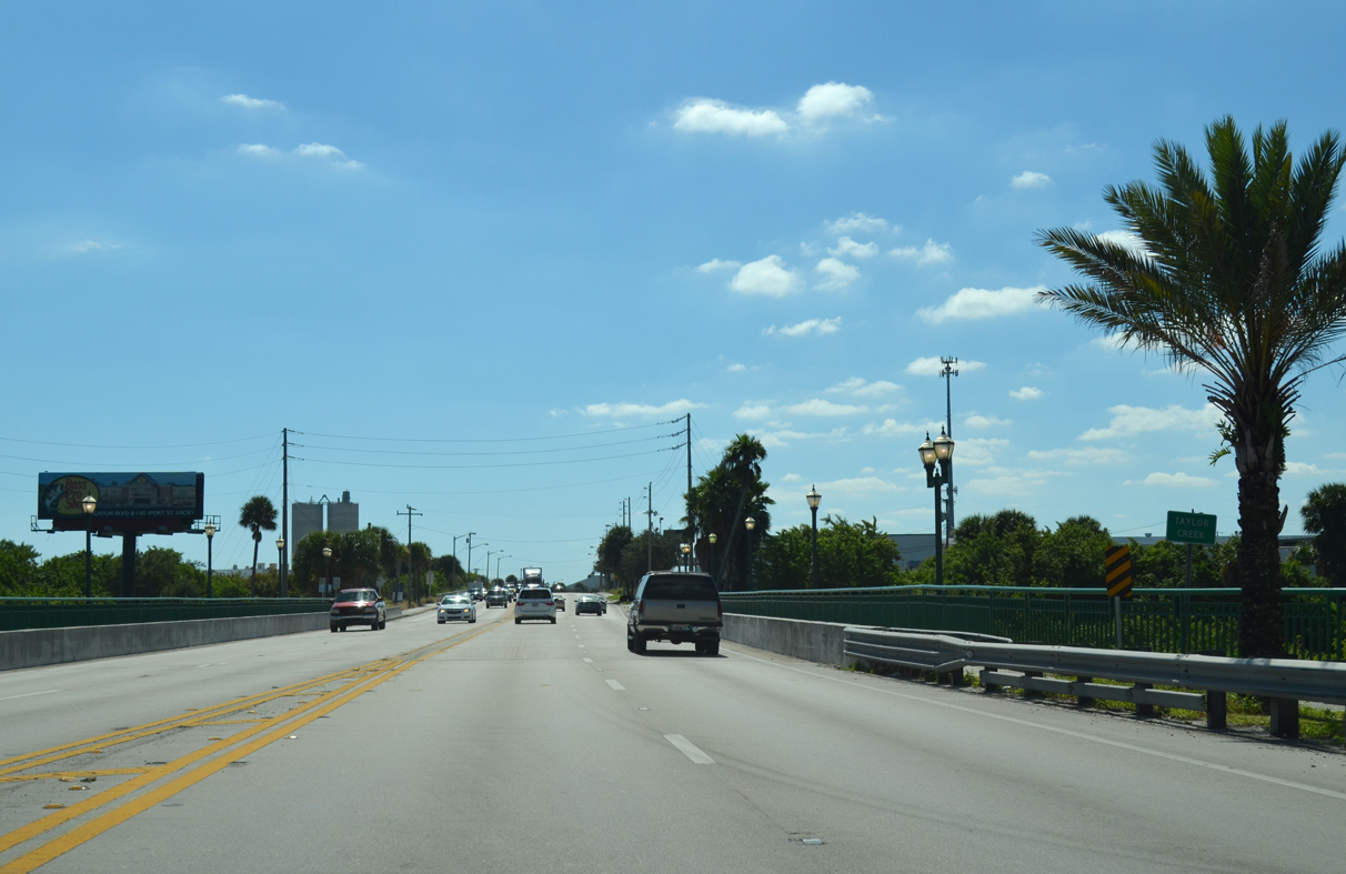
Leading away from the north end of SR 713, U.S. 1 runs along a ridge above adjacent wetlands and the settlement of Viking along adjacent CR 605.
04/24/19
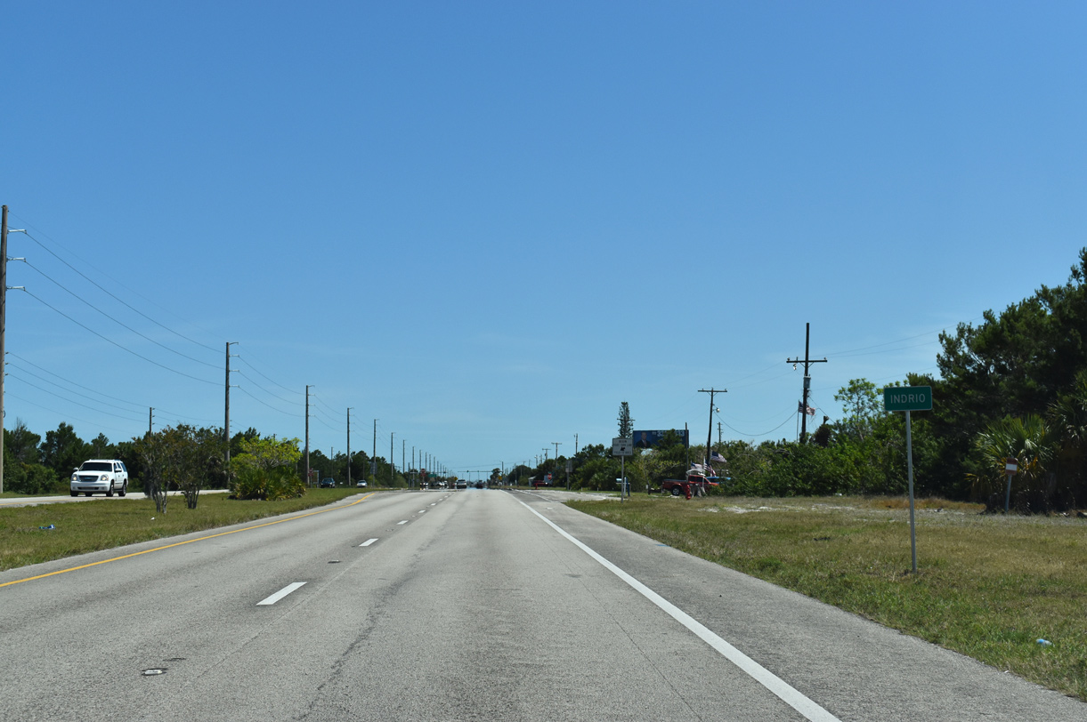
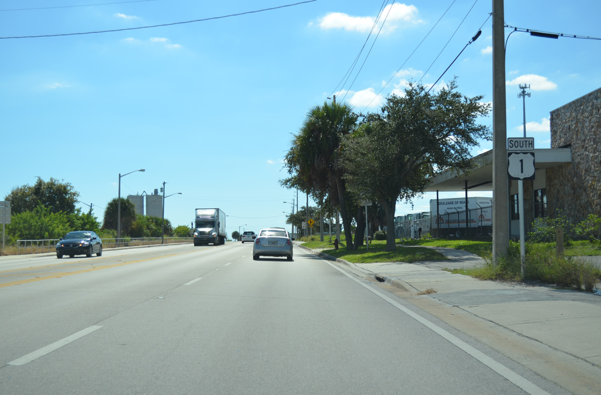
Continuing south into the community of Indrio.
04/24/19

Indrio Road (CR 614) runs 5.8 miles west from U.S. 1 to Interstate 95.
04/24/19

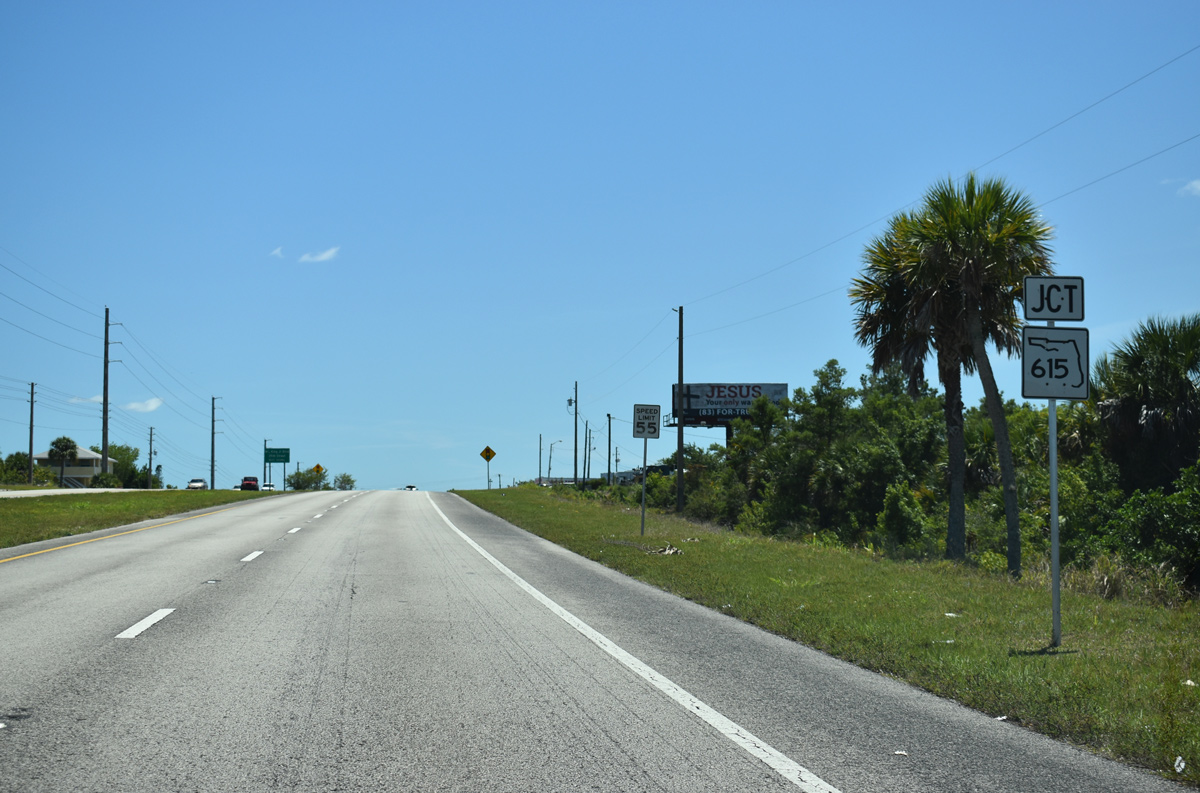
County Road 614 travels 2.8 miles along Indrio Road between SR 713 (Kings Highway) and CR 605 (Old Dixie Highway). SR 614 extends 3.58 miles west from SR 713 to I-95.
04/24/19
SR 615 branches southwest from U.S. 1 to Fort Pierce North near Treasure Coast International Airport and Business Park (FPR).
04/24/19
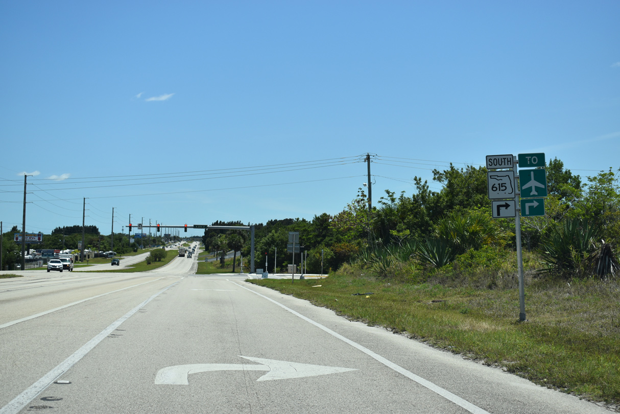
State Road 615 is a 6.17 mile long route south to CR 611B (Edwards Road) at Fort Pierce South.
04/24/19
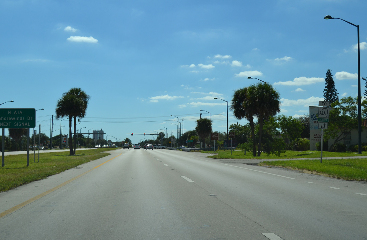
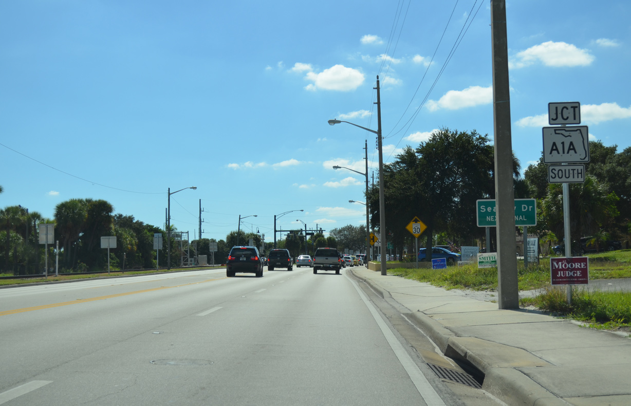
Upcoming SR A1A heads east along North Causeway across the Indian River to Ft. Pierce Inlet State Park.
10/18/14
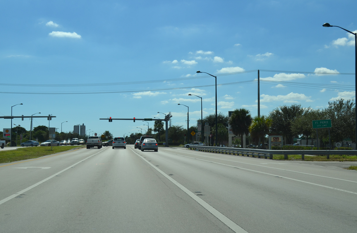
SR A1A concludes a 70.63 mile loop from U.S. 1 at Cocoa at U.S. 1 just inside the Fort Pierce city limits.
10/18/14
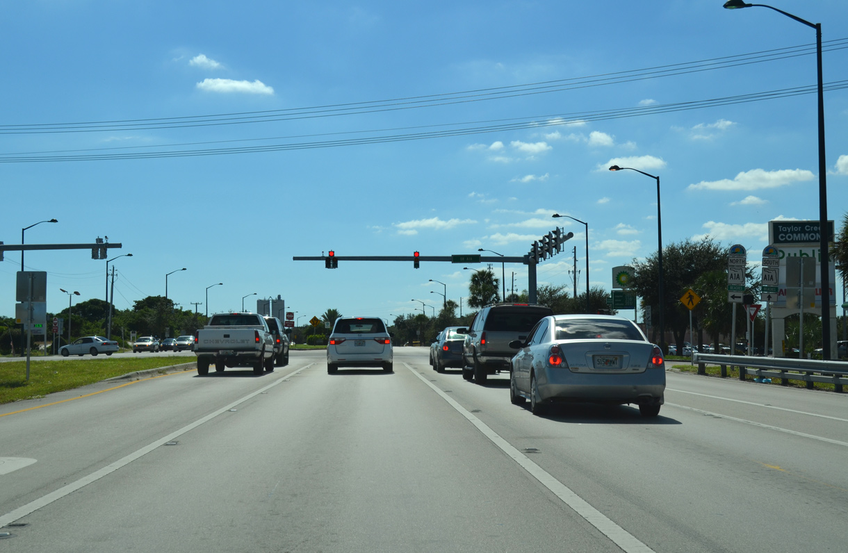
The SR A1A segment from Ft. Pierce north to Vero Beach ends 1.1 mile north of the SR A1A loop onto Hutchinson Island.
10/18/14
U.S. 1 crosses Taylor Creek south of SR A1A along North Causeway.
10/18/14
Reassurance marker posted ahead of Avenue O.
10/18/14
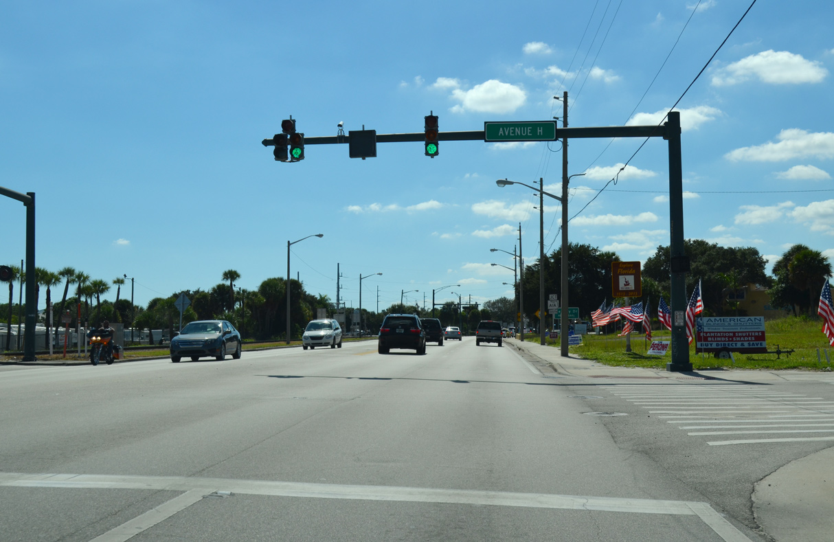
CR 605 (Old Dixie Highway) merges with U.S. 1 ahead of Avenue H.
10/18/14
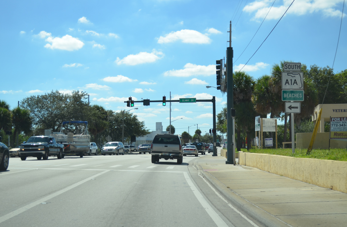
The 16.21 mile section of SR A1A along Hutchinson Island stems east from U.S. 1 along Seaway Drive to Causeway Island.
10/18/14
Turning south from Ft. Pierce Inlet, SR A1A follows Ocean Drive to Waveland and Martin County. The state road returns to U.S. 1 in Stuart.
10/18/14
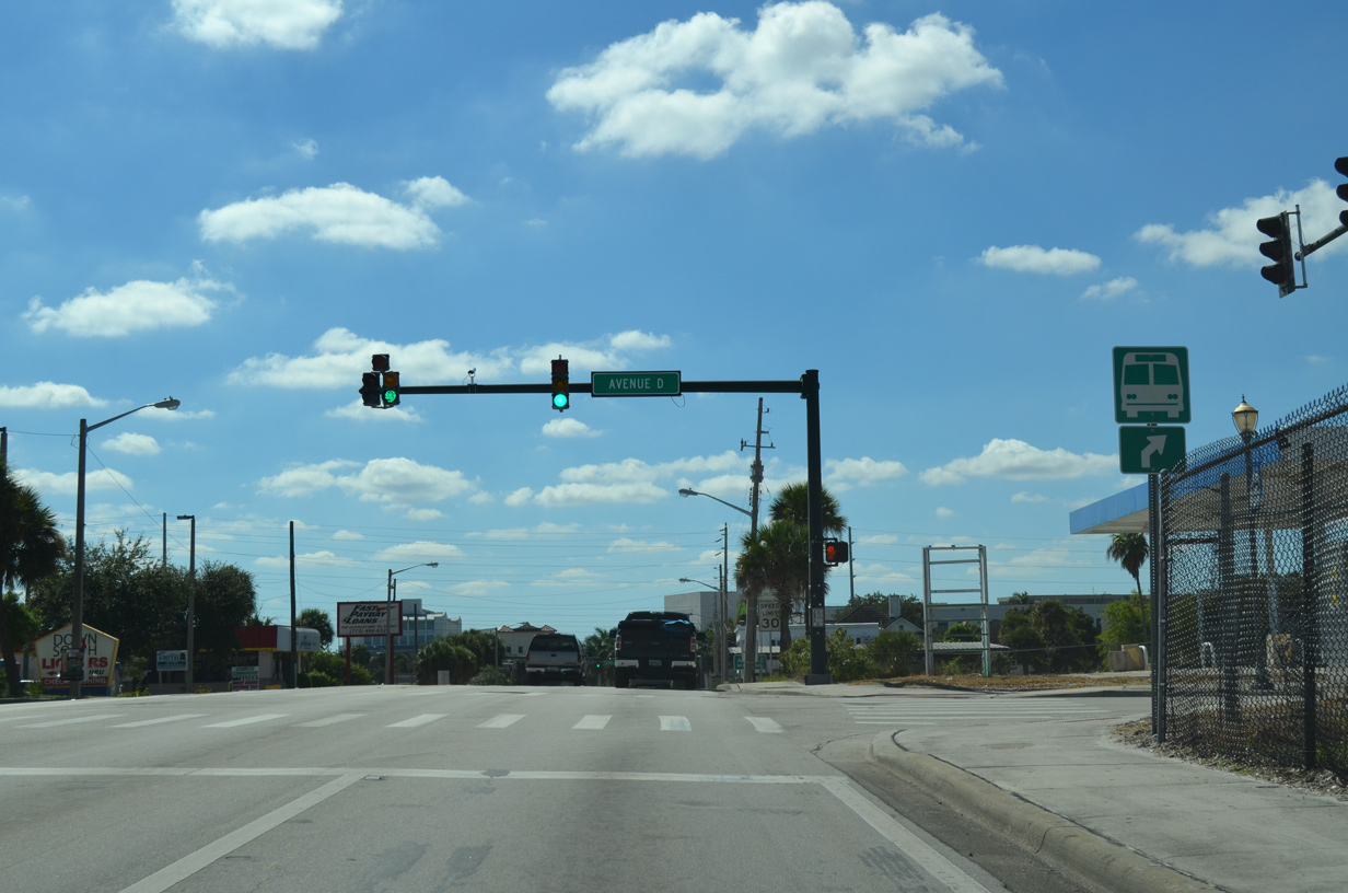
Avenue D parallels Moore Creek through residential areas northwest of Downtown Fort Pierce.
10/18/14
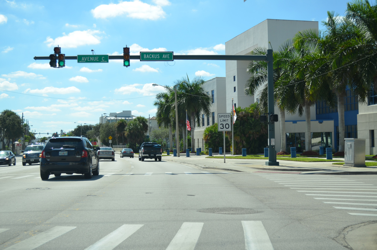
Entering Downtown Fort Pierce along U.S. 1 at Backus Avenue and Avenue C.
10/18/14
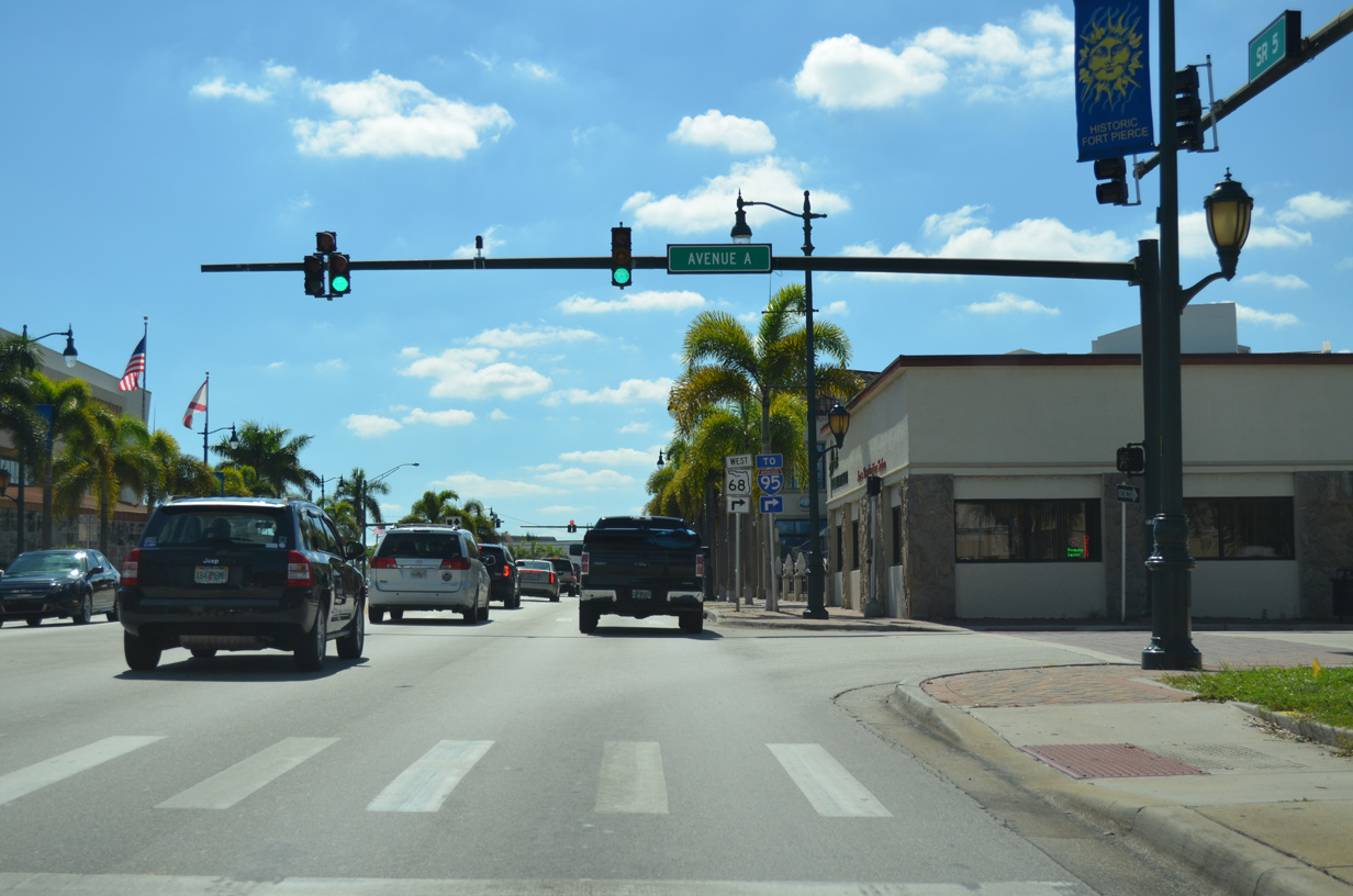
Avenue A leads east to Fort Pierce City Marina and west to N 7th Street by SR 68 (Orange Avenue).
10/18/14
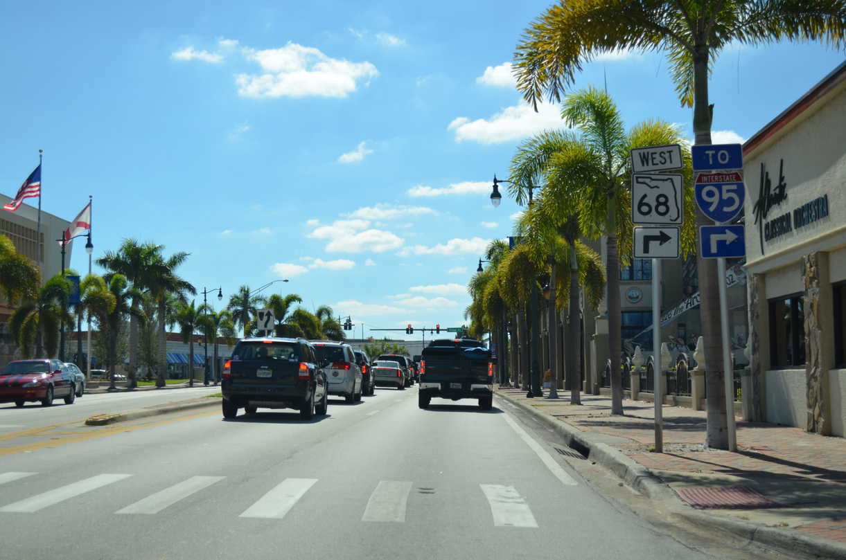
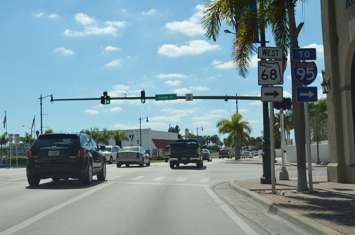
State Road 68 (Orange Avenue) leads 4.50 miles west from U.S. 1 to Interstate 95 and SR 713.
10/18/14
SR 68 transitions to CR 68 beyond SR 713 (Kings Highway). Collectively the route measures 29.75 miles between U.S. 1 at Downtown Fort Pierce and U.S. 441 west of Hilolo.
10/18/14
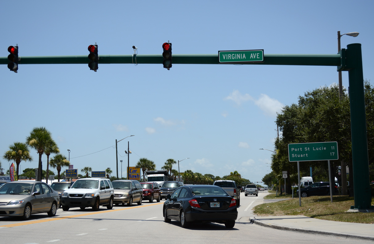
The east end of SR 70 (Virginia Avenue) in Fort Pierce lies 11 miles north of Port St. Lucie and 17 miles from Stuart via U.S. 1.
07/27/16
Photo Credits:
- ABRoads: 04/24/19
- Alex Nitzman: 10/18/14, 07/27/16
Connect with:
Page Updated Monday October 21, 2019.