
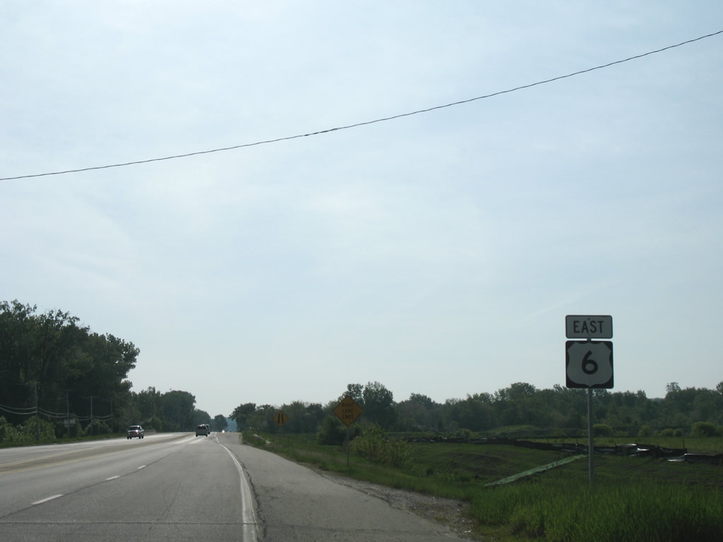
U.S. 6 East
 East
East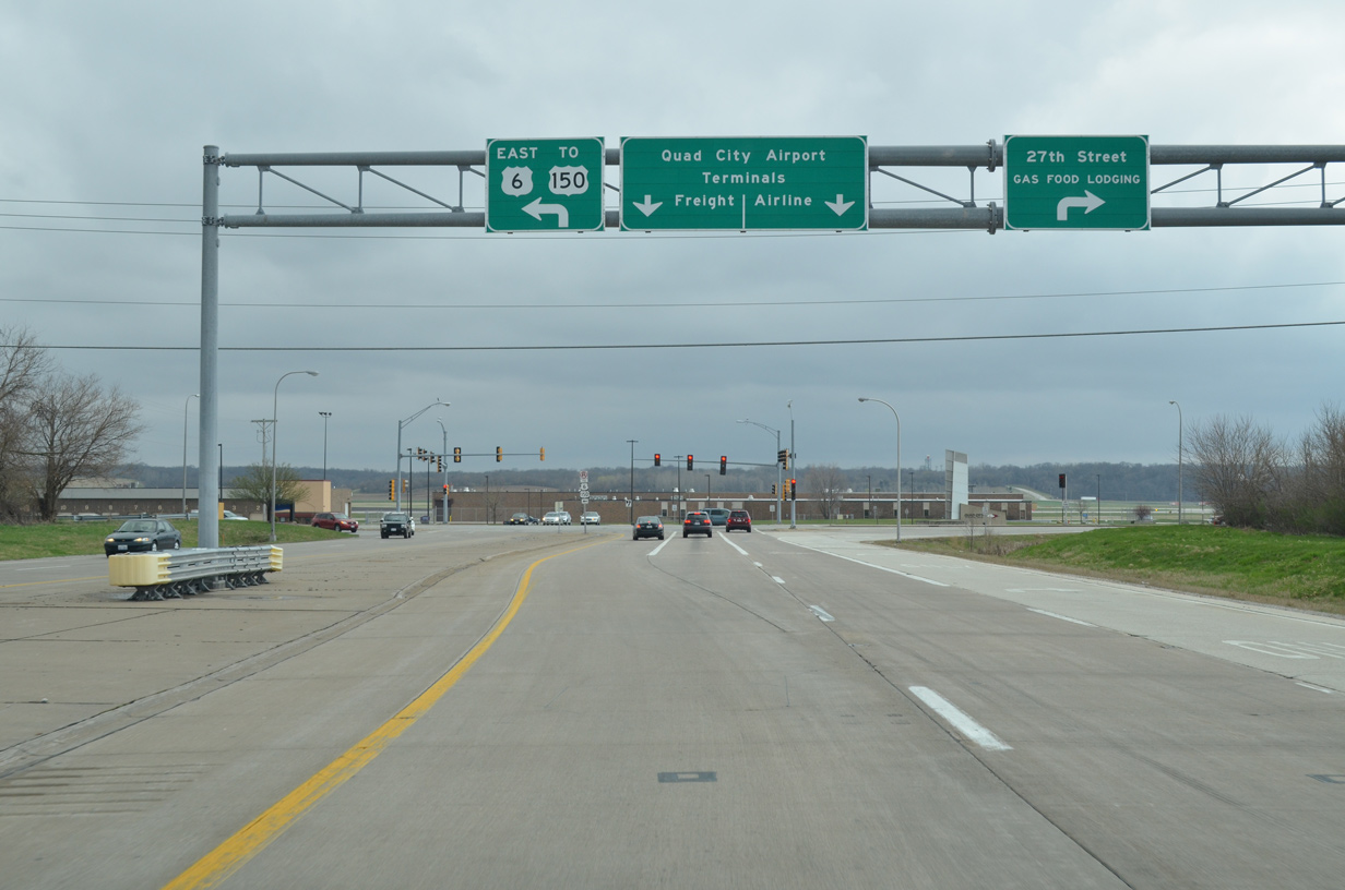
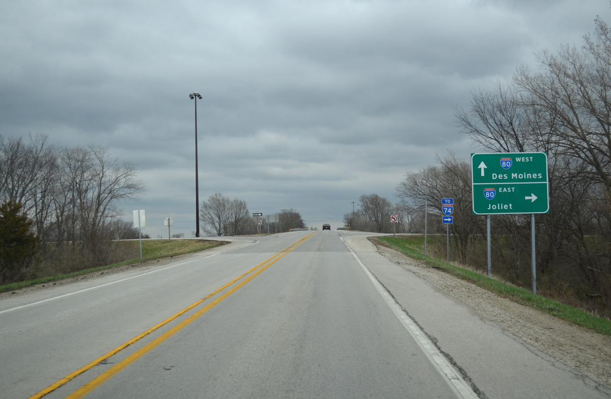
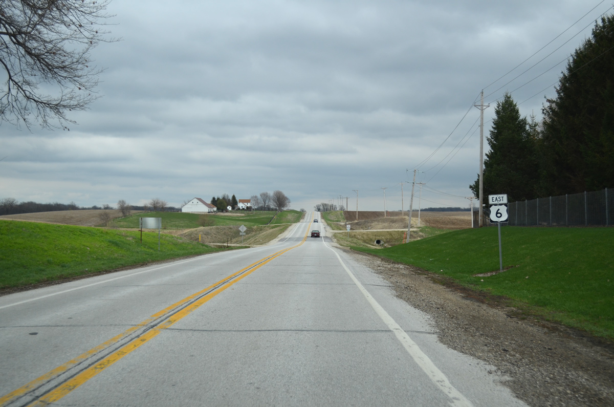
U.S. 6 extends the freeway south from I-74 from I-280 (Exit 5B) to 27th Street and the entrance to Quad City International Airport (MLI). The US highway turns east onto its 1946-alignment, paralleling I-74/I-280 east to Coal Valley and U.S. 150.
03/15/17
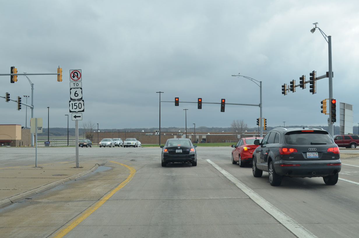
U.S. 6 is erroneously signed with a TO banner at the eastern turn from the I-74 freeway at the airport access road. U.S. 150 used to overlap with U.S. 6 north to Moline, and west to Rock Island. The original split occurred with U.S. 6 at this intersection, prior to the relocation of U.S. 6 to accommodate Quad City Airport expansion.1
03/31/16
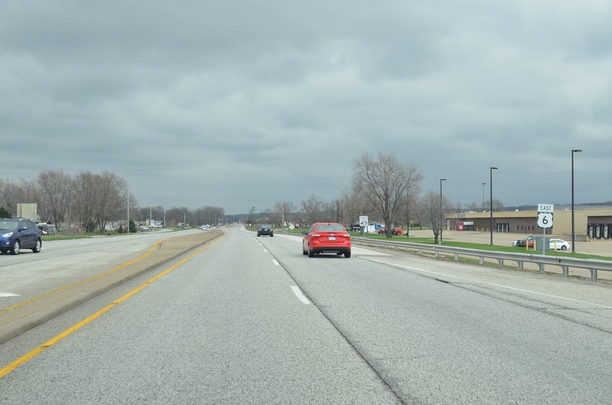
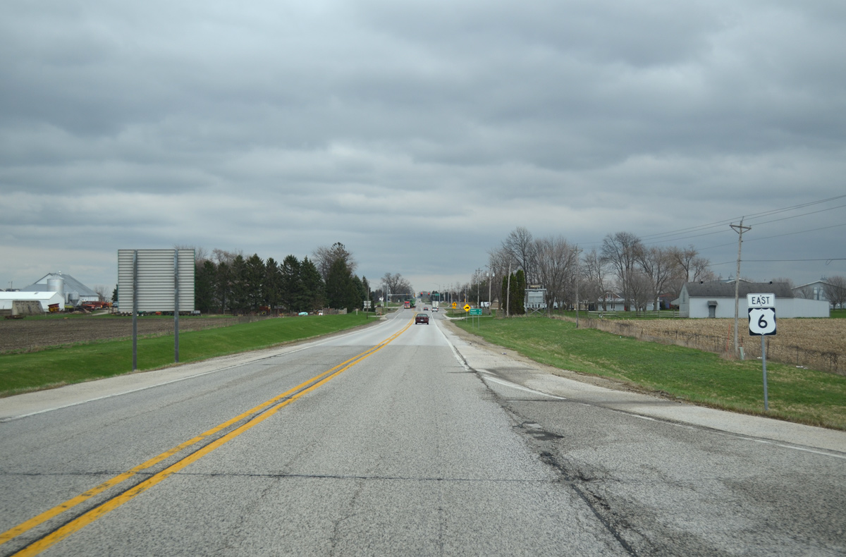
U.S. 6 travels initially with four lanes eastward to the junction with U.S. 150. Providing access to nearby industrial and residential areas, frontage roads (69th Avenue) parallel the arterial.
03/31/16
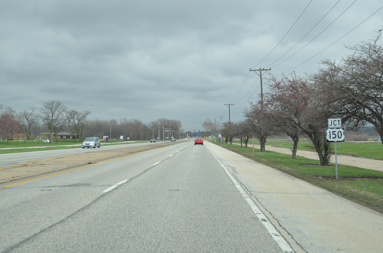
Advancing east from the MLI Airport, U.S. 6 approaches the eastbound beginning of U.S. 150.
03/31/16
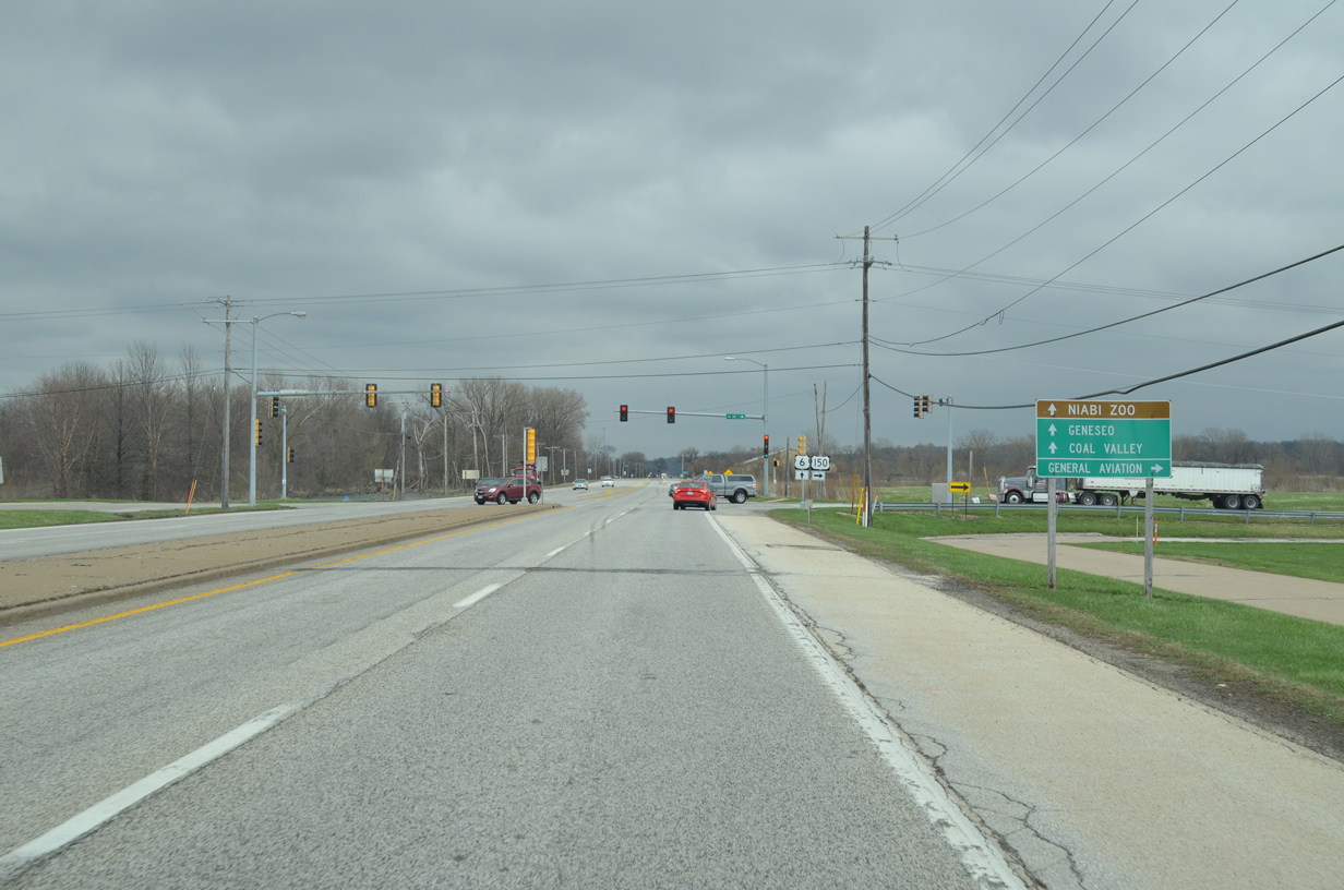
U.S. 150 meanders southeast to Coal Valley, Sunny Hill and Orion to parallel I-74 south to Galesburg and east to Peoria. The route also connects with CR 16 (78th Avenue) west to the general aviation facilities of Quad City International Airport.
03/31/16
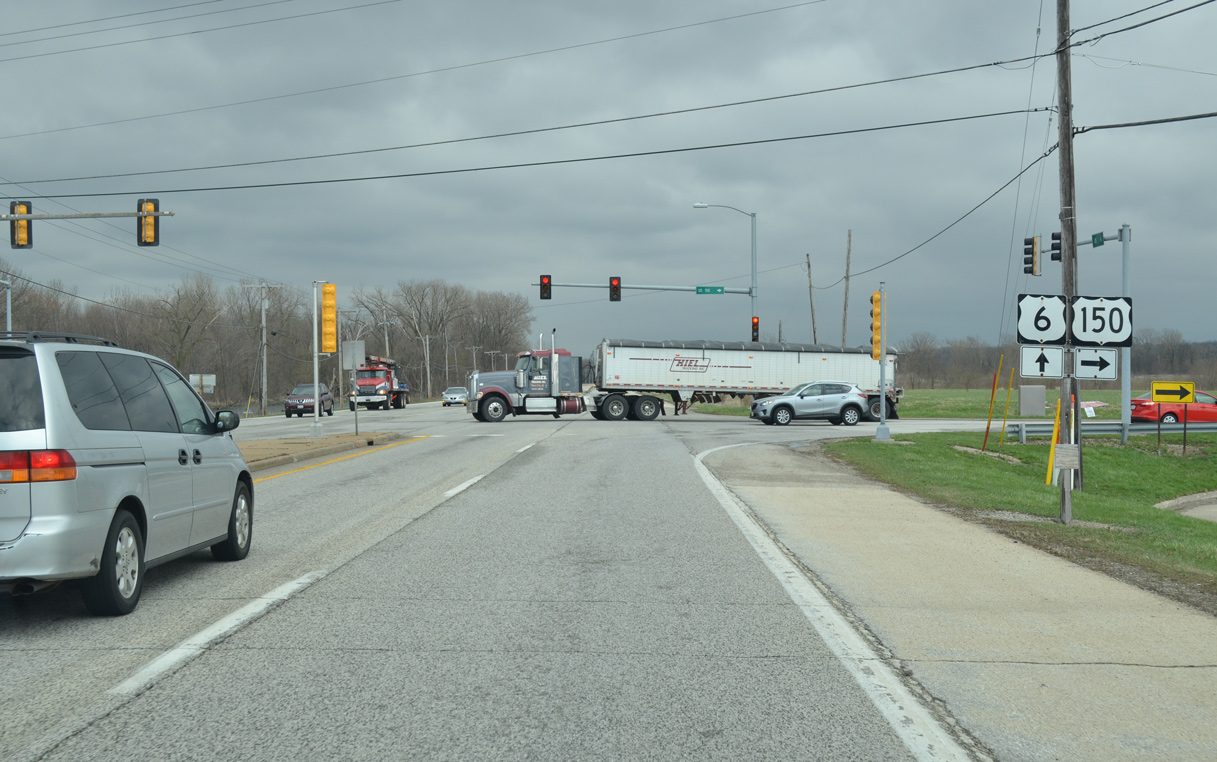
U.S. 150 travels 265 miles from Moline to the Illinois state line near Terre Haute, and overall 571 miles to Mount Vernon, Kentucky.
03/31/16
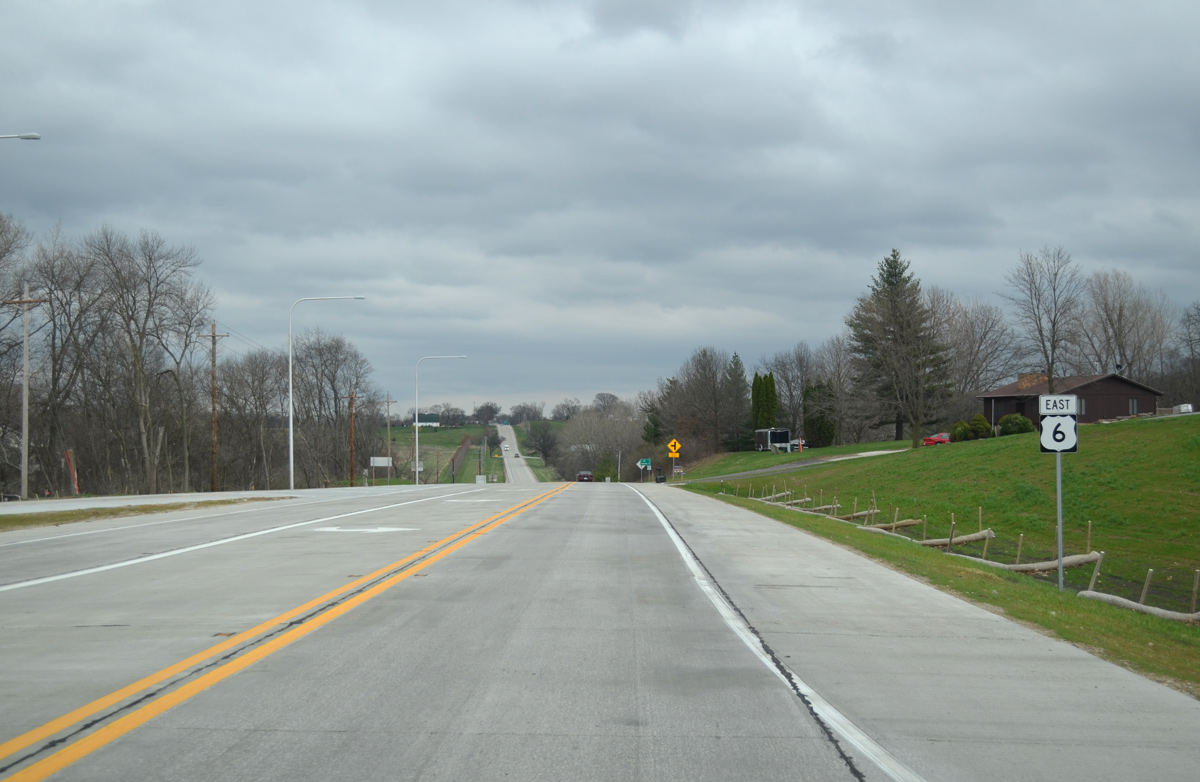
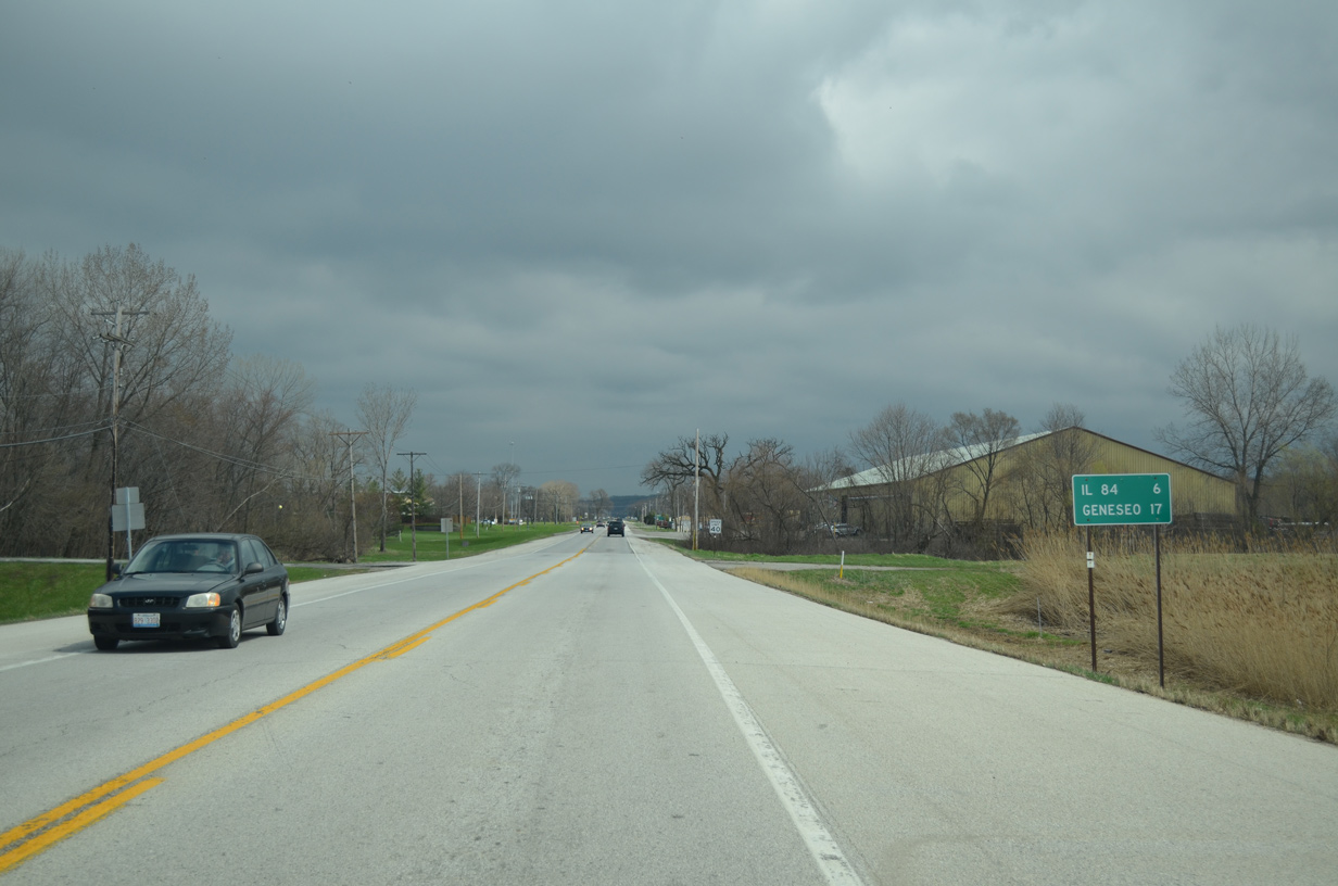
East from U.S. 150, U.S. 6 progresses six miles to IL 84 in Colona and 17 miles to the Henry County city of Geneseo.
05/24/08
03/31/16
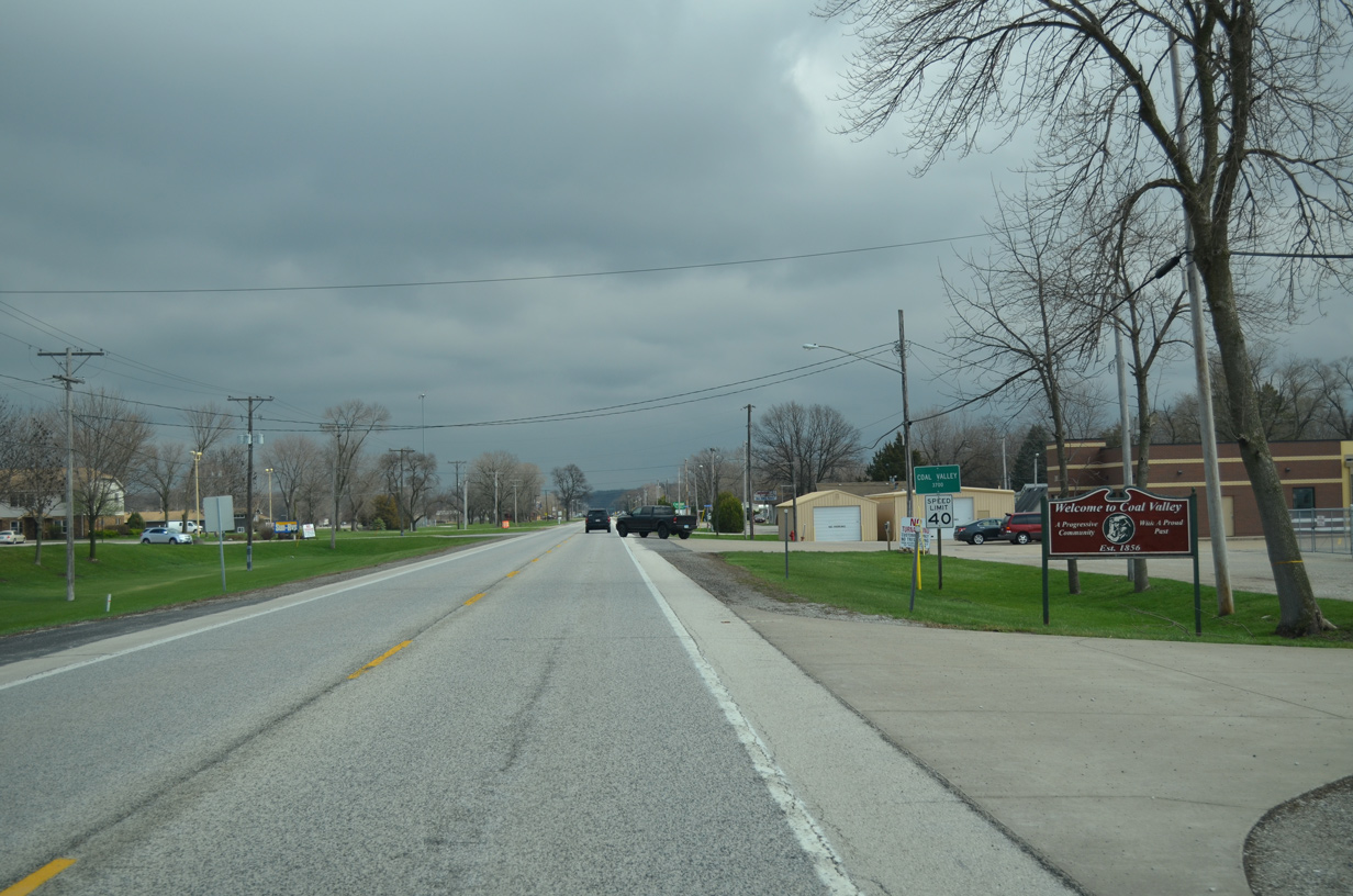
Entering the village of Coal Valley, U.S. 6 transitions onto 1st Avenue ahead of several businesses and a series of streets lined with manufactured homes.
03/31/16
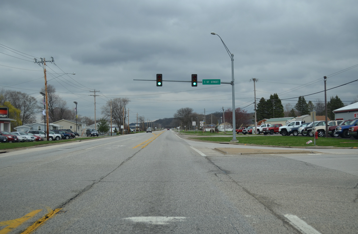
1st Street leads south from U.S. 6 (1st Avenue) to U.S. 150 and the Coal Valley village center.
03/31/16
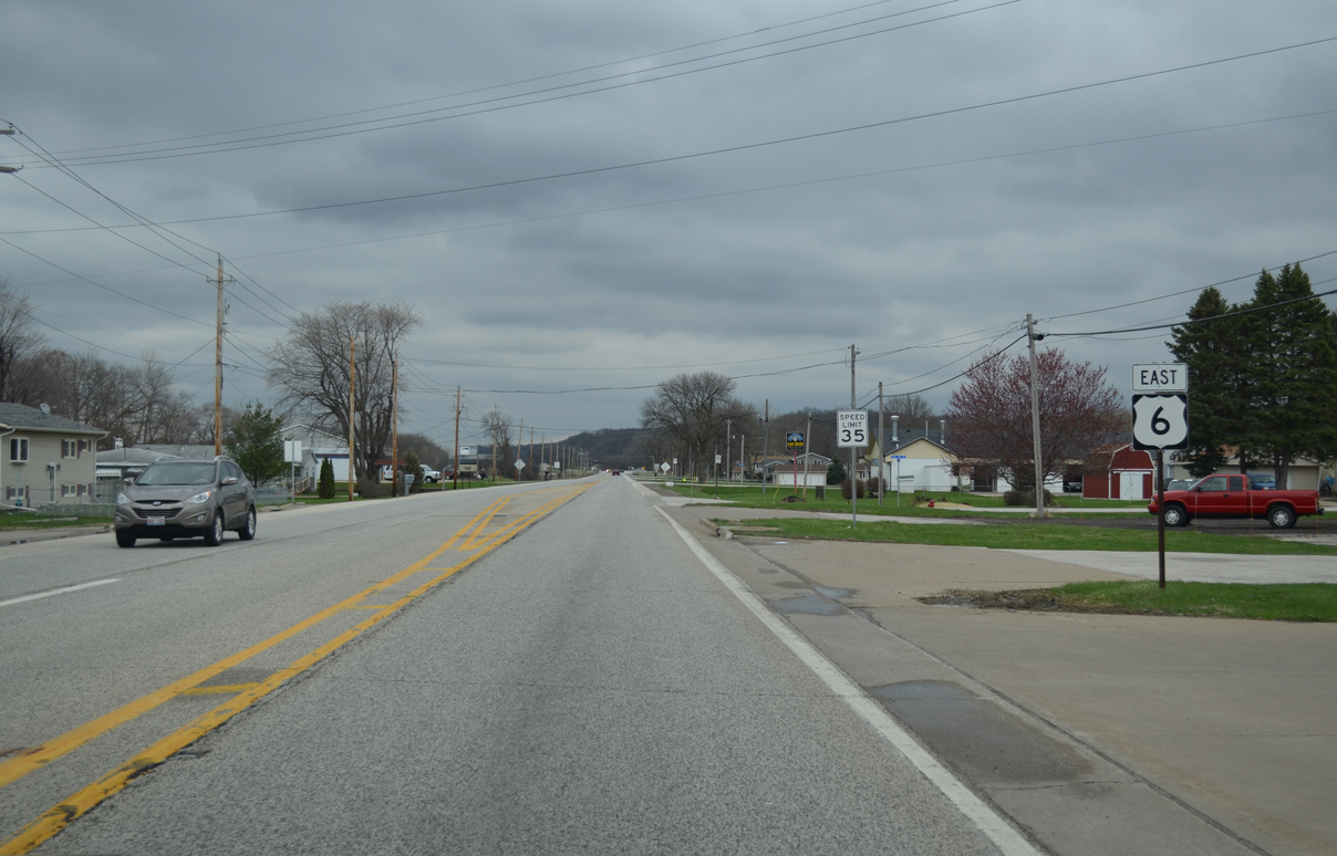
Reassurance marker posted after 1st Street. U.S. 6 passes through a series of numbered residential streets to the Coal Valley village limit.
03/31/16
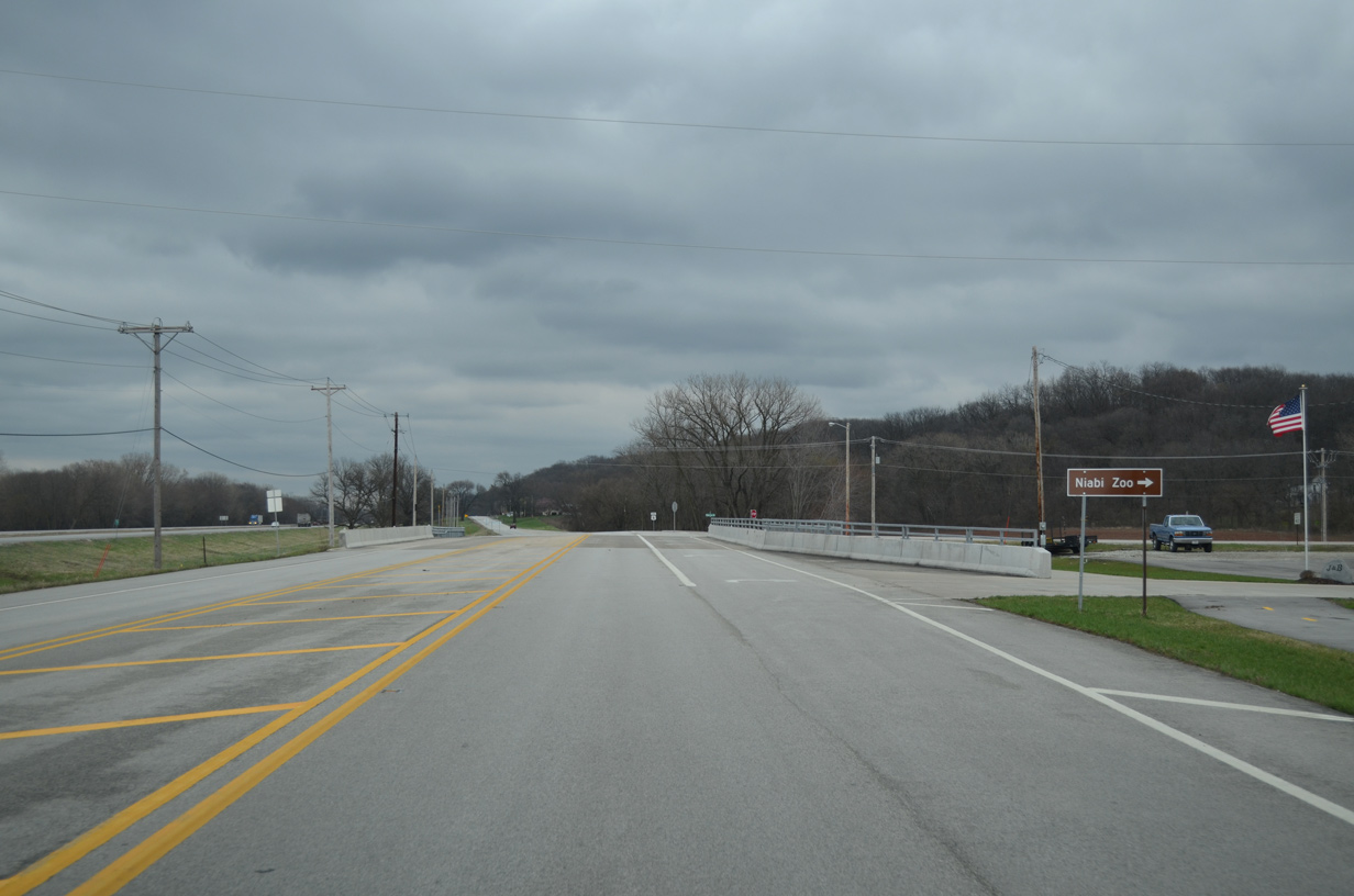
Niabi Zoo Road ventures southeast from U.S. 6 after the bridge across Shaffer Creek. Niabi Zoo lies just west of the Henry County line, one mile away.
03/31/16
The rural stretch of U.S. 6 east of Niabi Zoo Road passes through a portion of the Moline city limits.
03/31/16
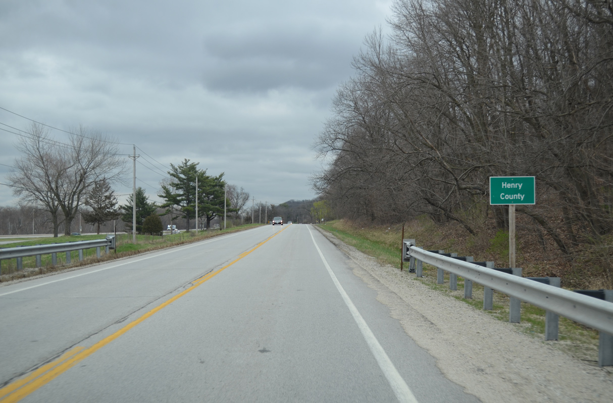
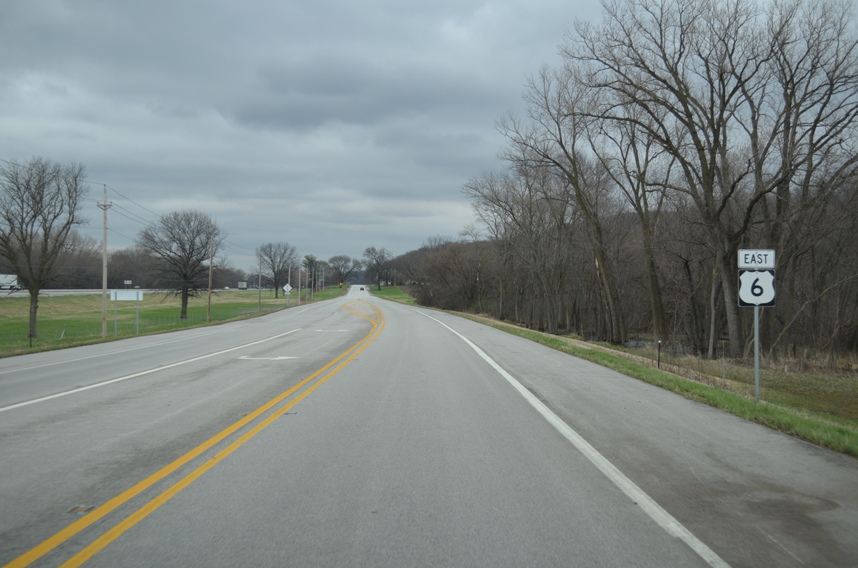
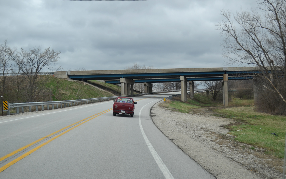
Hugging the bluff line south of the Rock River, U.S. 6 crosses into Henry County.
03/31/16
U.S. 6 advances east from the Henry County line along a narrow agricultural strip separating the route from parallel I-74/280.
03/31/16
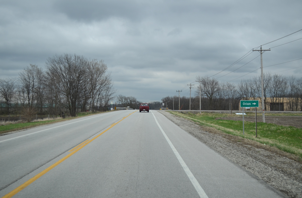
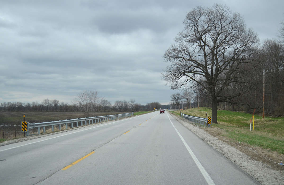
U.S. 6 passes through eastern reaches of the Coal Valley village limits ahead of County Road 12 (East 200th Street). CR 12 bee lines 6.1 miles south to U.S. 150 near the village of Orion.
03/31/16

Reassurance marker for U.S. 6 east posted after CR 12 (East 200th Street).
03/31/16
I-74/280 angle southeast above U.S. 6 and the adjacent BNSF Railroad line on their final approach to the Big X interchange with I-80.
03/31/16
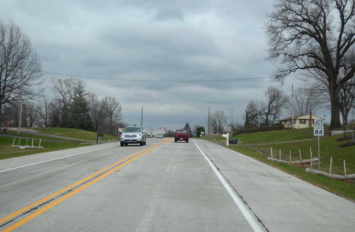
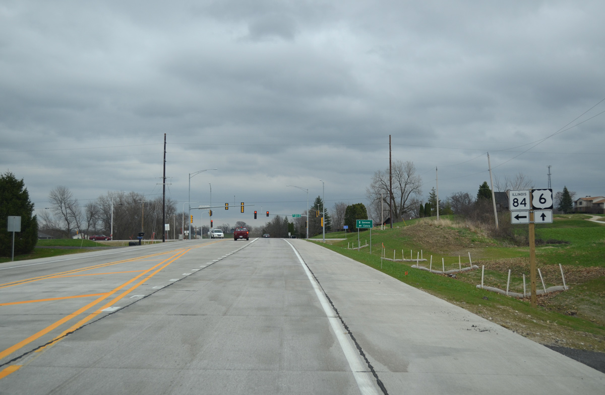
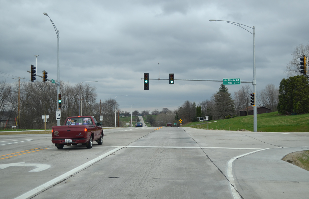
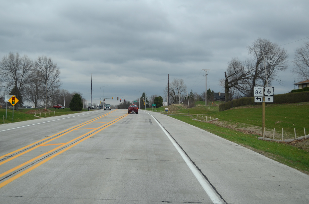
Continuing one mile east from I-74 / 280, U.S. 6 intersects the south end of IL 84.
03/31/16
IL 84 initially travels north from U.S. 6 onto 1st Street through the city of Colona. The state route curves west to cross the Rock River and northward again into the village of Carbon Cliff.
03/31/16
Traveling 95 miles overall, IL 84 forms part of the Mississippi Great River Road system northward from the Quad Cities to Fulton, Savanna, Galena and East Dubuque.
03/31/16
U.S. 6 reaches the Colona city limits a half mile east of IL 84 and East 400th Street.
03/31/16
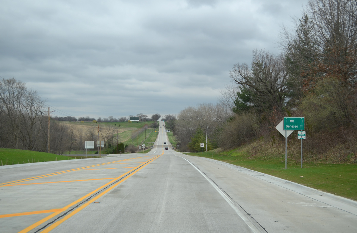
The city of Geneseo lies ten miles beyond I-80 and south Colona on U.S. 6 eastbound.
03/31/16
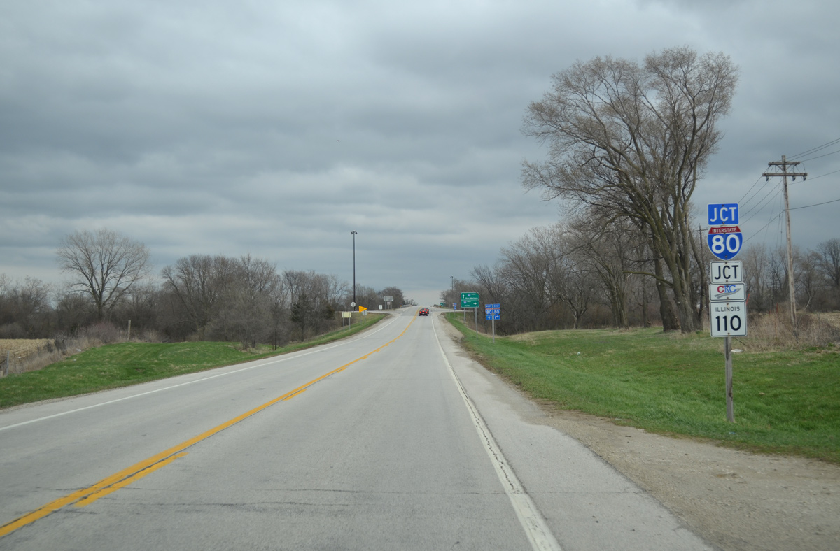
Interstate 80/IL 110 (Chicago Kansas City Expressway) cross paths with U.S. 6 just south of Mineral Creek and north of the Big X interchange with I-74 / 280.
03/31/16
I-80 east and IL 110 (CKC) south partition at the Big X interchange, with the CKC overlaying Interstate 74 south to U.S. 34 at Galesburg.
03/31/16
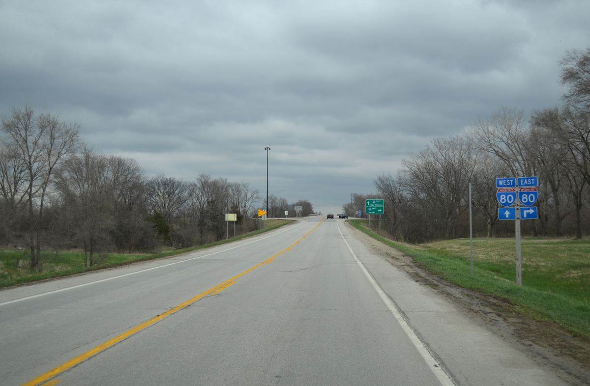
Heading east from Colona and the Quad Cities, Interstate 80 travels to Joliet and the south Chicago suburbs. The two routes cross one another again in 21.3 miles between Atkinson and Annawan.
03/31/16

Interstate 80 west & IL 110 (CKC) east lead north 5.6 miles to Interstate 88 east of Silvis. IL 110 accompanies I-88 east to Chicago while I-80 curves northwest to Le Claire and Bettendorf, Iowa.
03/31/16
Leading away from the diamond interchange with I-80, U.S. 6 approaches East 550th and the Stonebridge Crossing subdivision in south Colona.
03/31/16
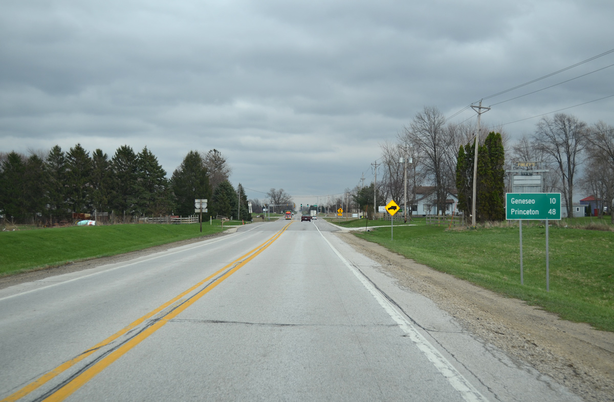
The Bureau County seat of Princeton is a 48 mile drive east along U.S. 6 from Colona.
03/31/16
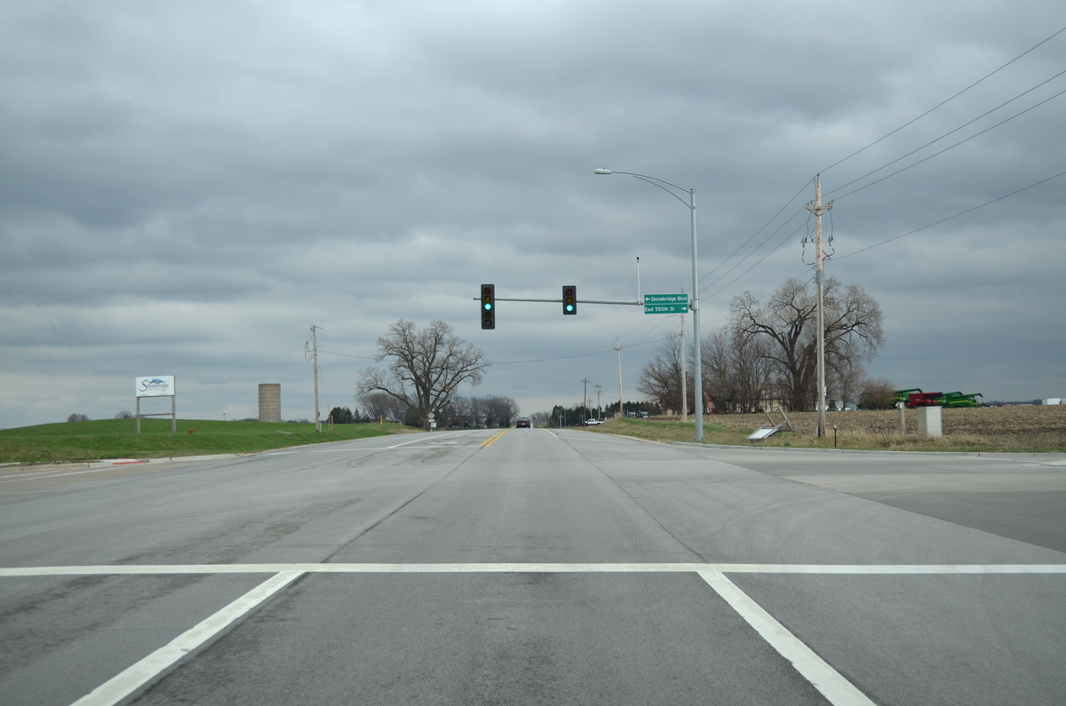
With the addition of 550th Street south from U.S. 6, traffic lights were added along U.S. 6 at Stonebridge Boulevard.
03/31/16
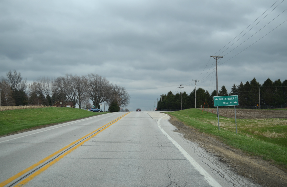
Osco Road navigates along a stair stepped route north nine miles from the unincorporated community of Osco to meet U.S. 6 opposite Green River Road. Green River Road extends north along the east side of Colona to Green River, where it becomes CR 15.
03/31/16
Traversing farmland north of I-80, U.S. 6 progresses east from Colona through Edford township.
03/31/16
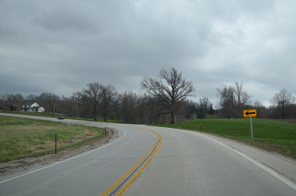
U.S. 6 shifts a half mile southward through an S-curve from Potters Bridge Road (CR 13) to Edwards Road.
03/31/16
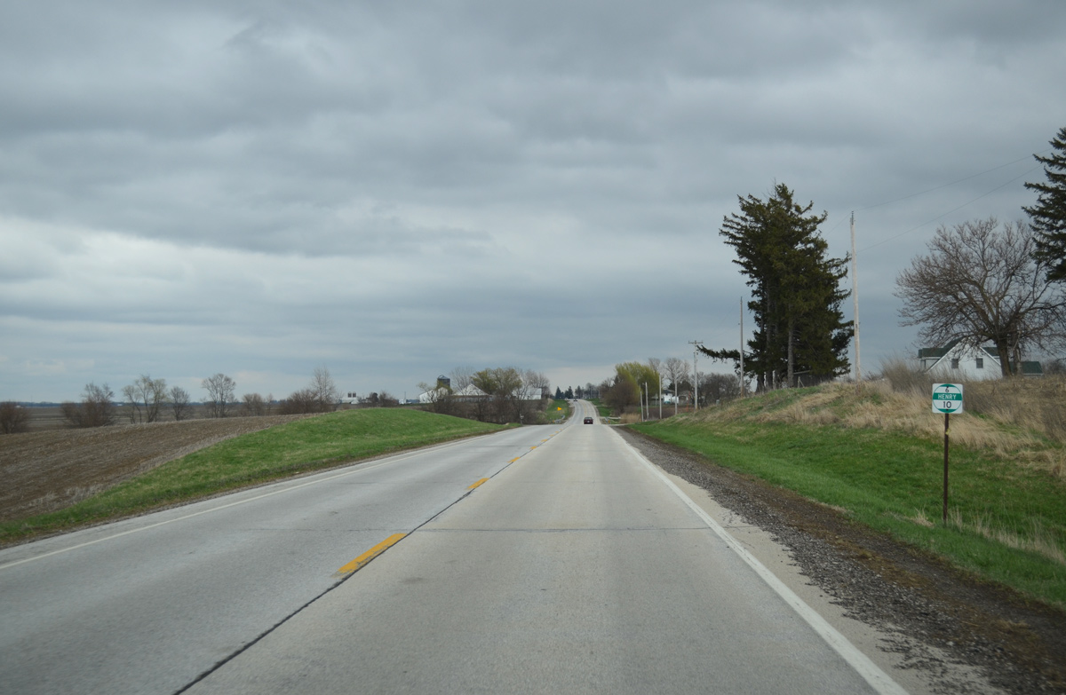
Henry County milepost 10 stands along U.S. 6 east of East 950th Street.
03/31/16
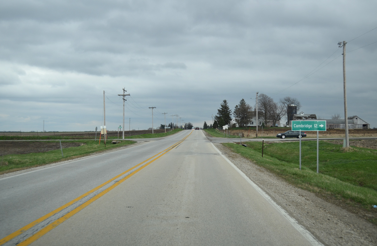
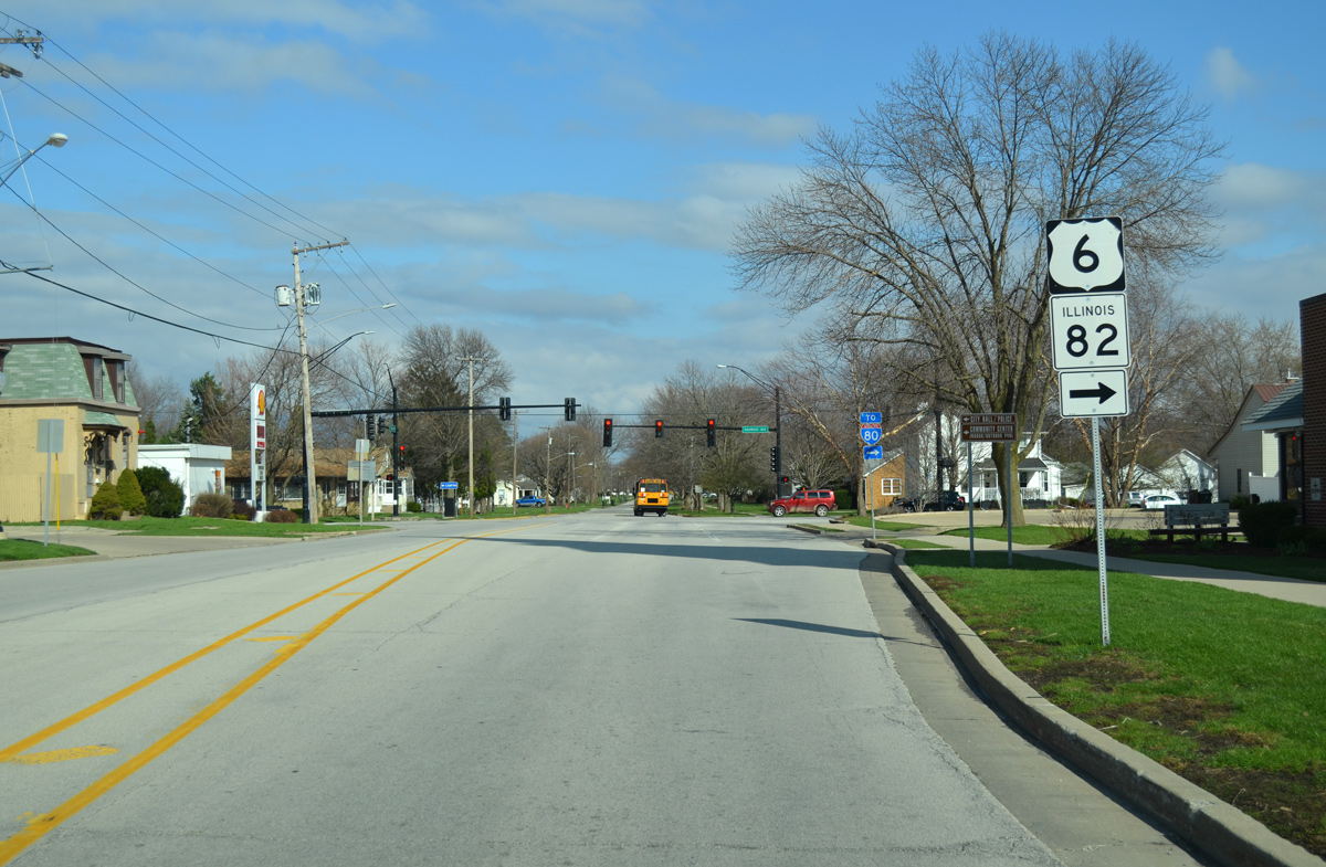
County Road 16 (North Cambridge Road) stems 12 miles south from East 1050th Street and U.S. 6 to the village of Cambridge. Cambridge lies at the cross roads of IL 81 and 82.
03/31/16
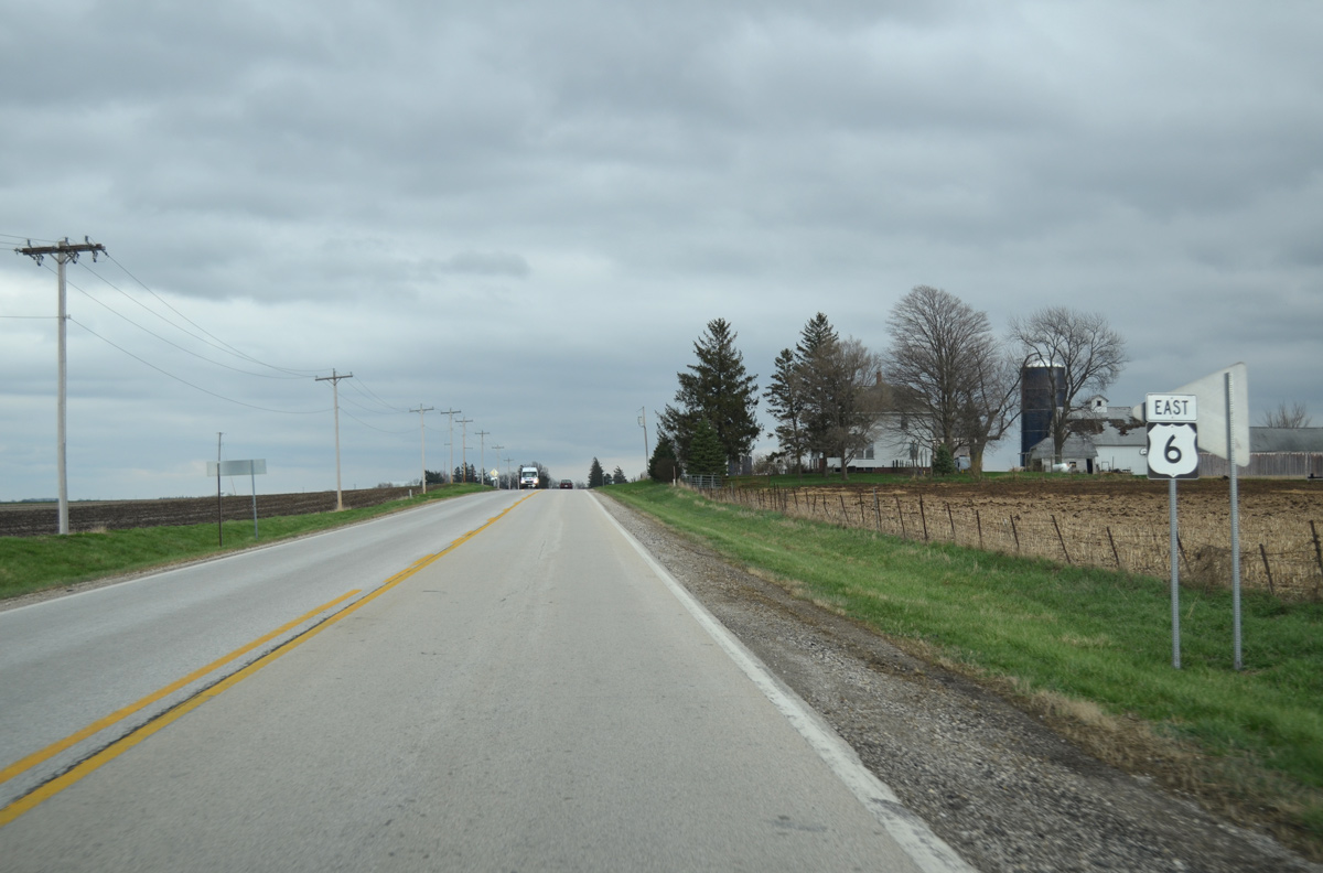
Eastbound shield for U.S. 6 posted after CR 16 (North Cambridge Road).
03/31/16
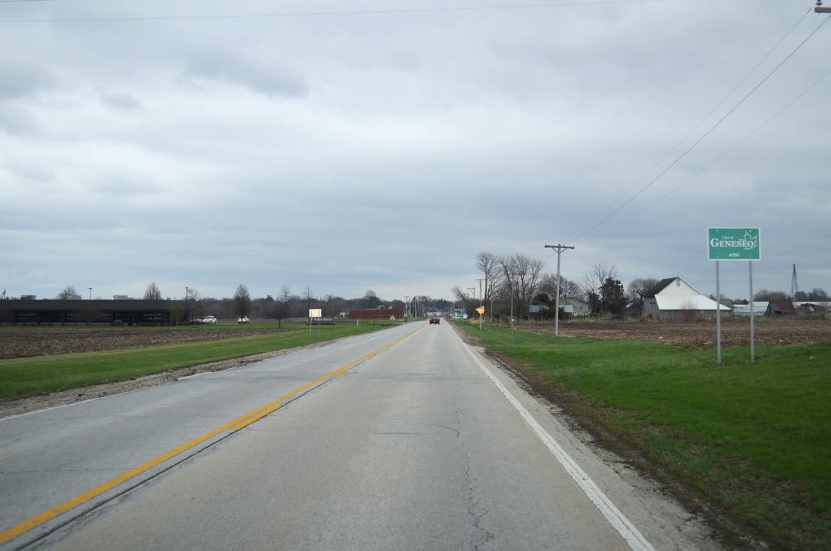
U.S. 6 enters the city of Geneseo and transitions to West Main Street.
03/31/16
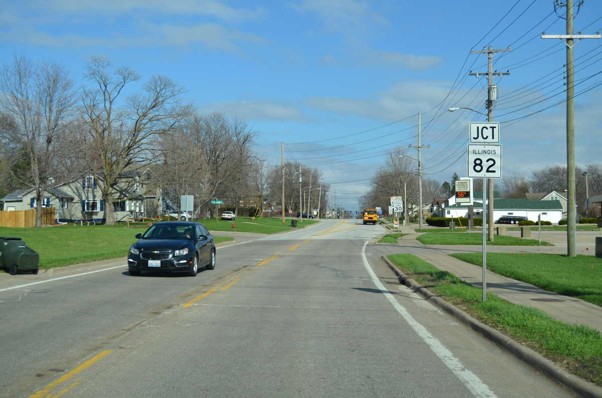
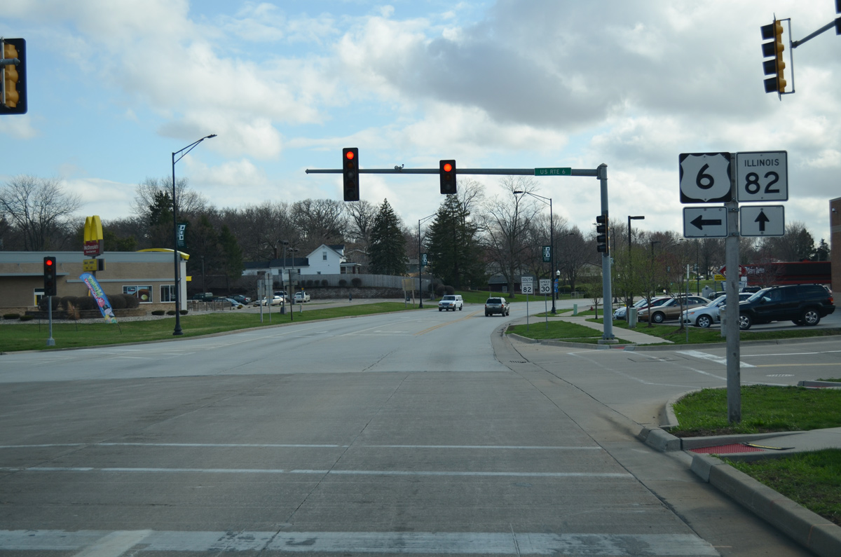
Crossing Geneseo Creek, U.S. 6 (Main Street) approaches IL 82 (Henry Street) north.
03/31/16
IL 82 runs along the west side of Downtown Geneseo as it navigates through the residential street grid along Henry Street north, North Street east and College Avenue north.
03/31/16
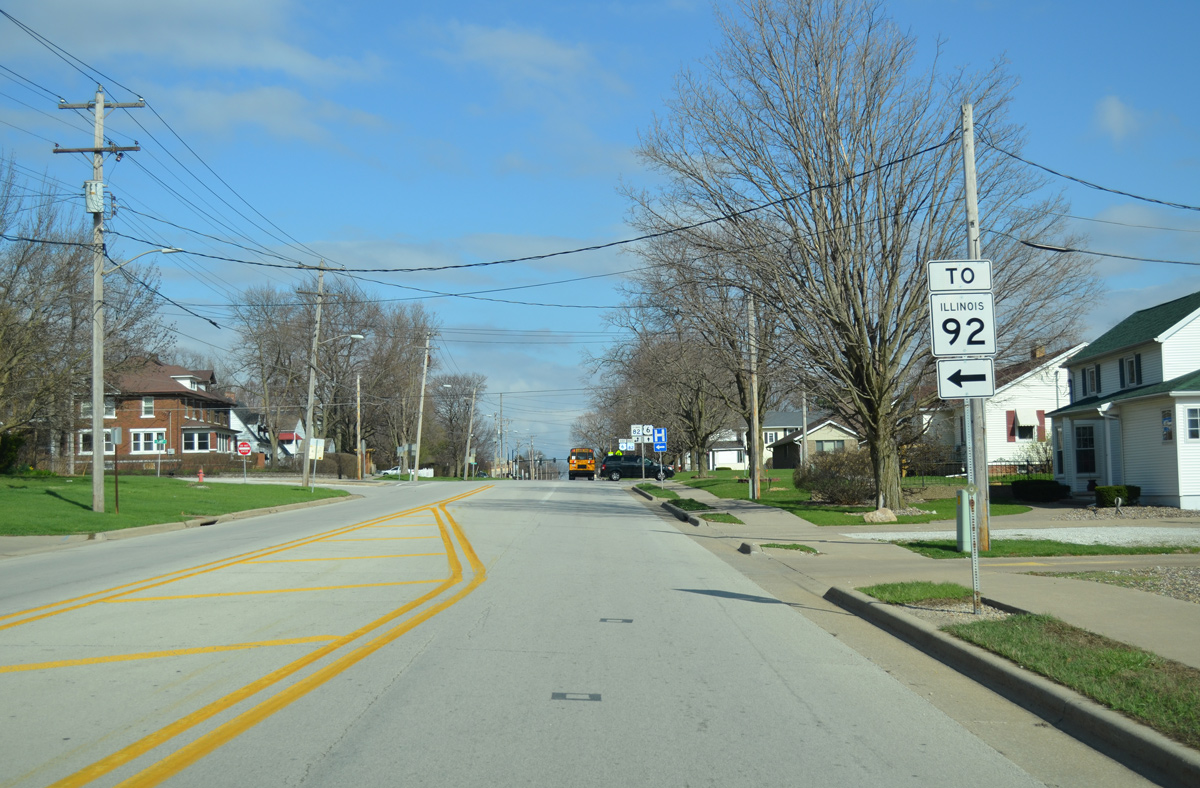
The 29 mile long route of IL 82 concludes 7.5 miles to the north of U.S. 6 at IL 92 in Phenix township.
03/31/16

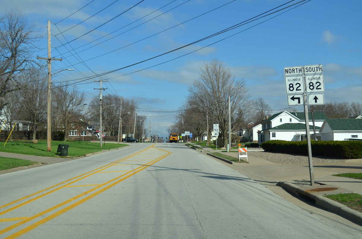
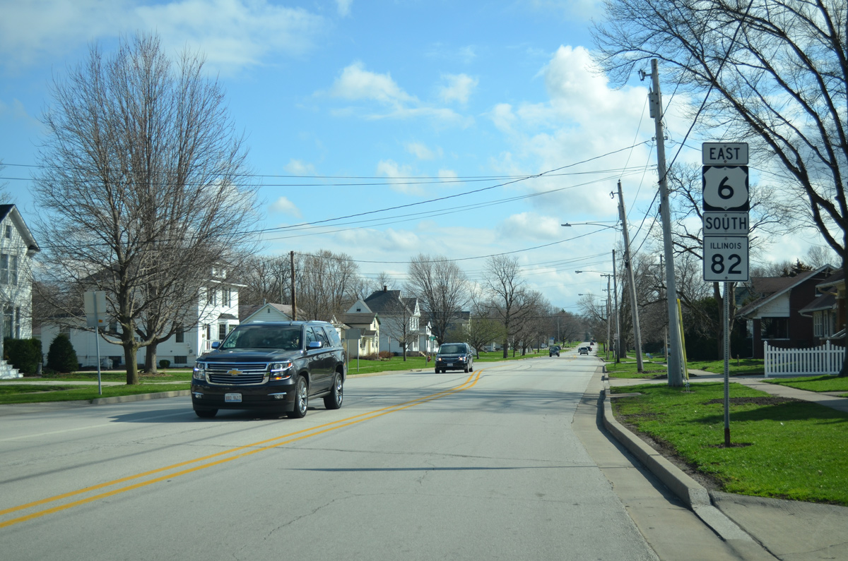
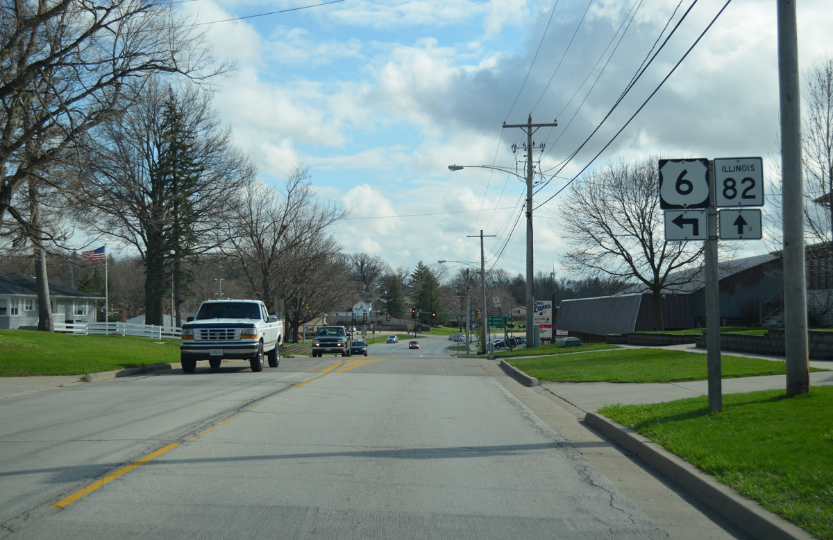
U.S. 6 east and IL 82 south combine for an 0.8 mile overlap through south Geneseo.
03/31/16
East  South
South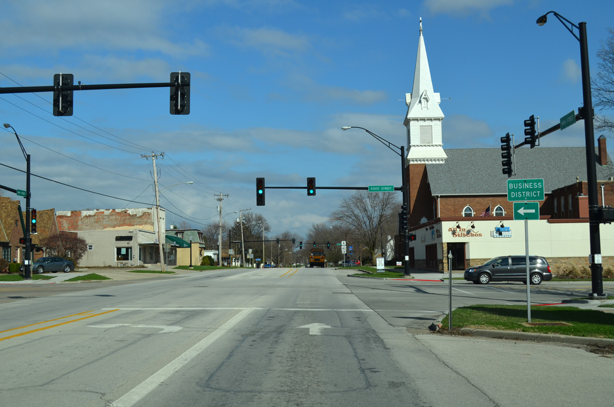
U.S. 6/IL 82 continue three blocks east on Main Street. State Street leads north into the Geneseo business district.
03/31/16
Oakwood Avenue leads U.S. 6/IL 82 south from East Main Street.
03/31/16
Heading south on Oakwood Avenue, U.S. 6/IL 82 pass through residential areas of south Geneseo.
03/31/16
IL 82 remains on Oakwood Avenue along a commercial strip leading to Interstate 80.
03/31/16
South from Geneseo, IL 82 continues 9.9 miles to combine with IL 81 west to the village of Cambridge. U.S. 6 resumes an eastward course 40 miles to Princeton.
03/31/16
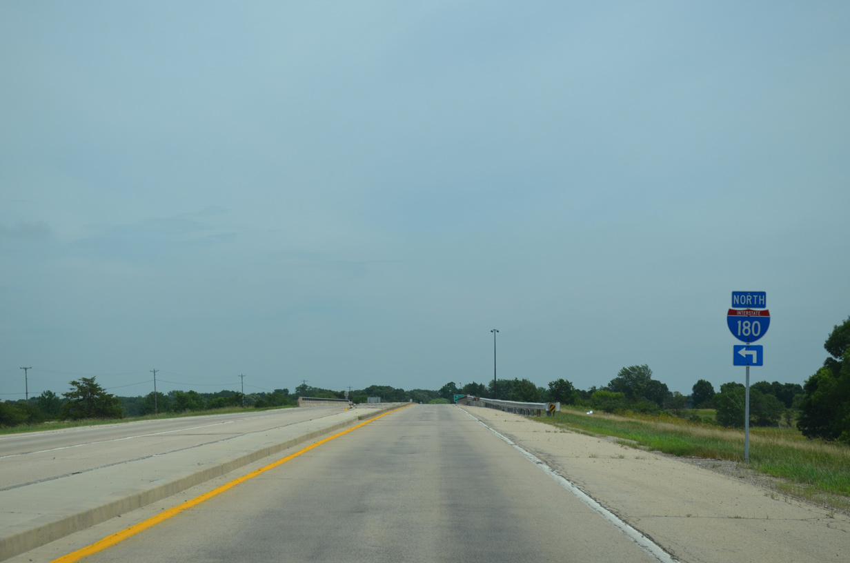
U.S. 6 heads east from Princeton to a rural diamond interchange with Interstate 180 in Selby township.
06/20/15
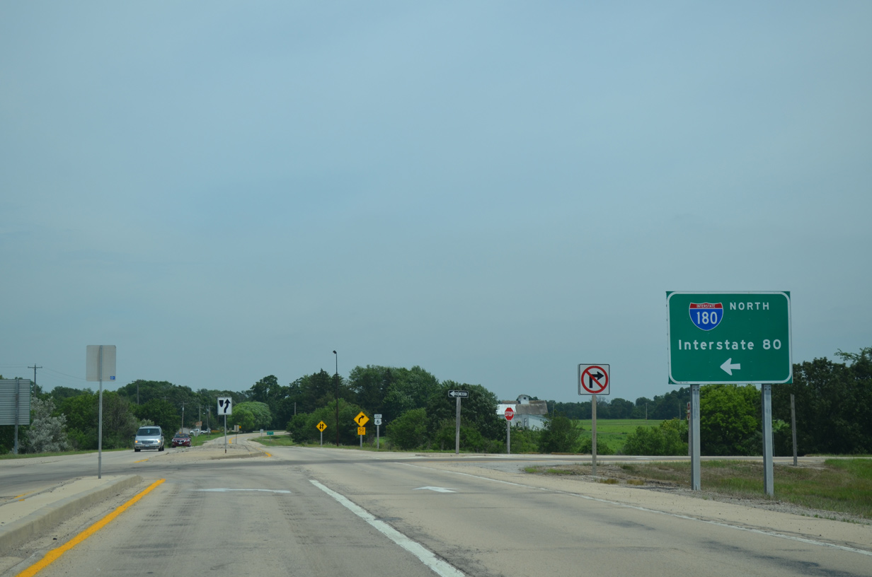
I-180 runs two miles north from U.S. 6 to Interstate 80.
06/20/15
Photo Credits:
- Alex Nitzman: 05/24/08, 03/31/16, 03/15/17
- ABRoads: 06/20/15
Connect with:
Page Updated Friday January 03, 2020.