
U.S. 6 West - Loveland Pass

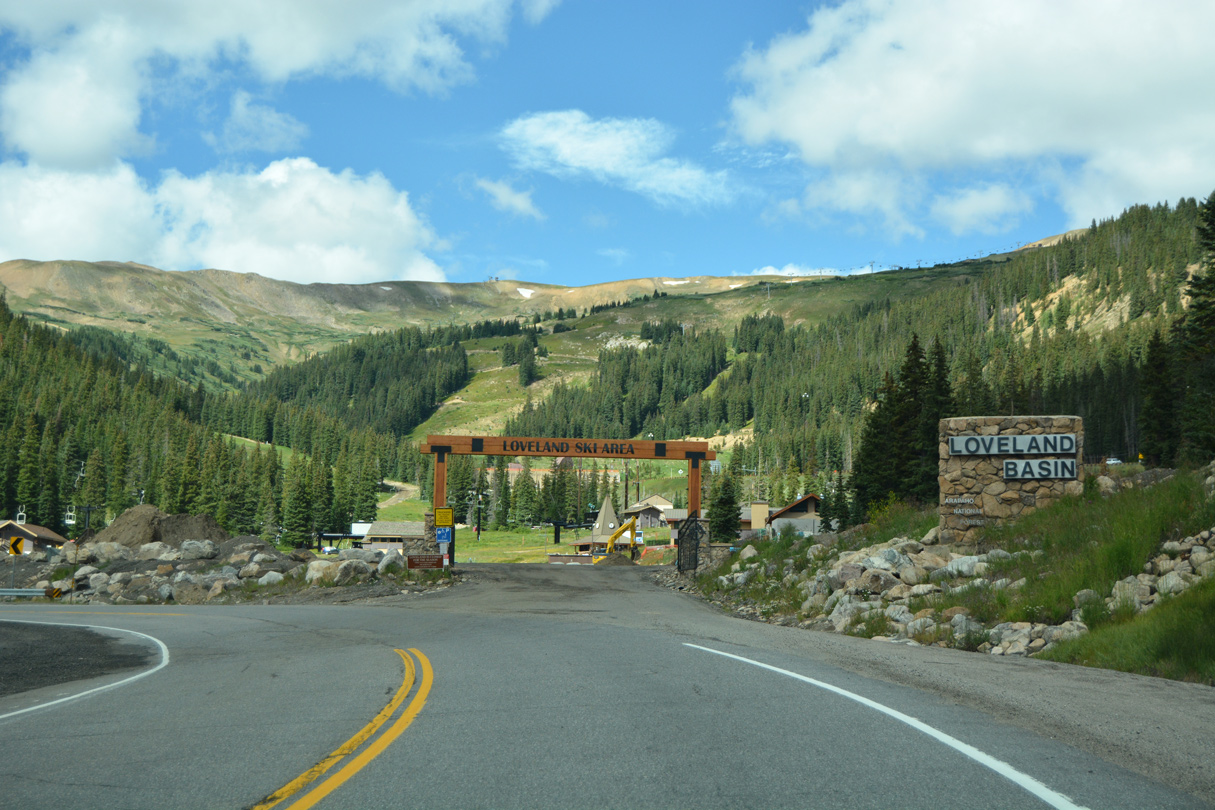
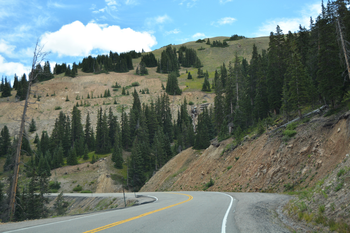
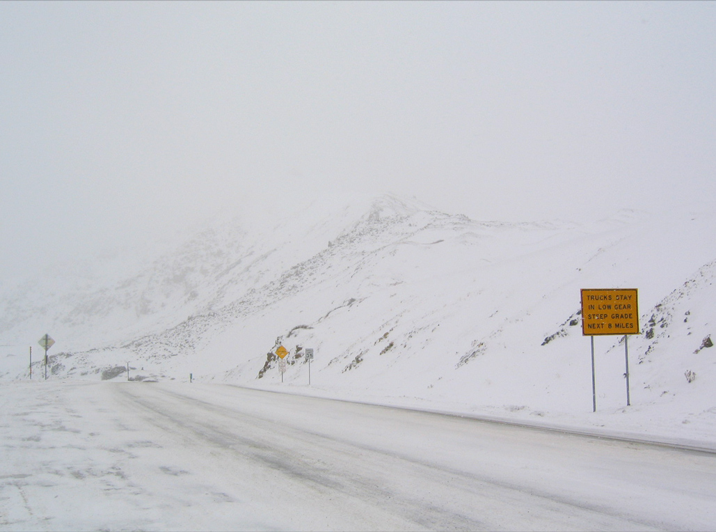
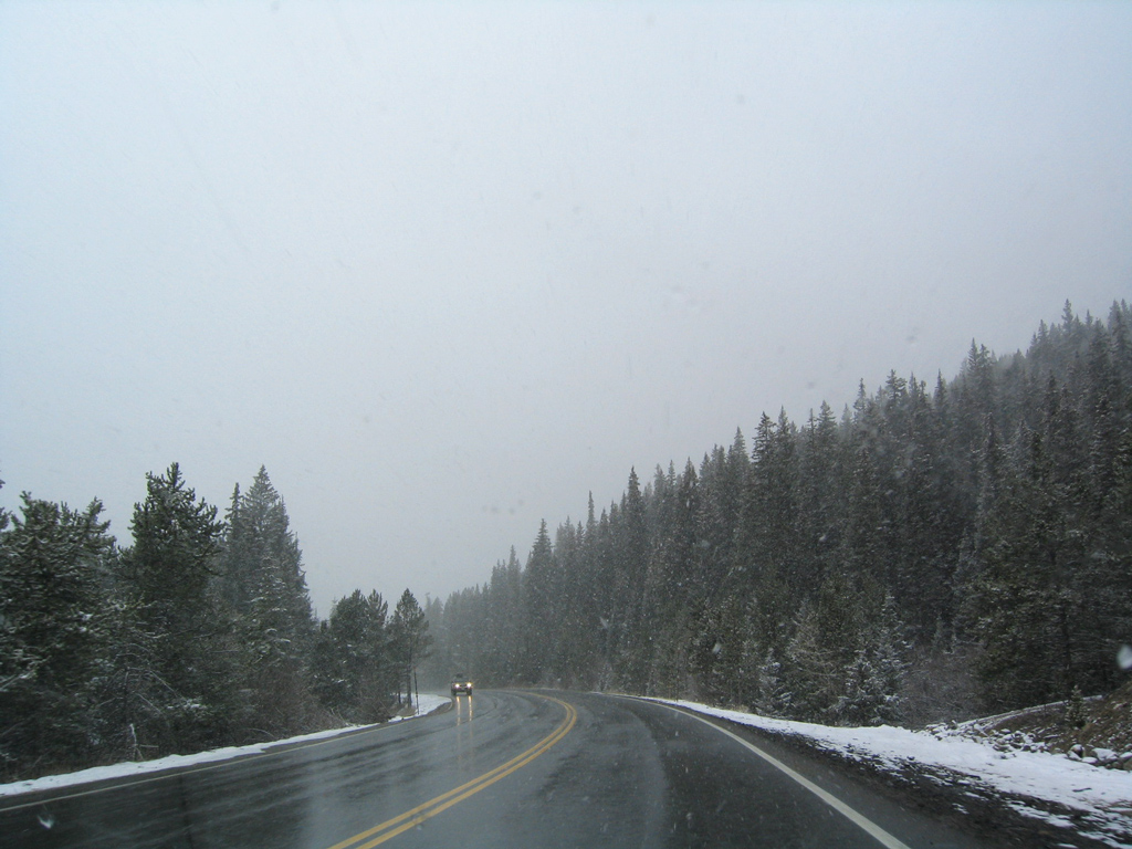
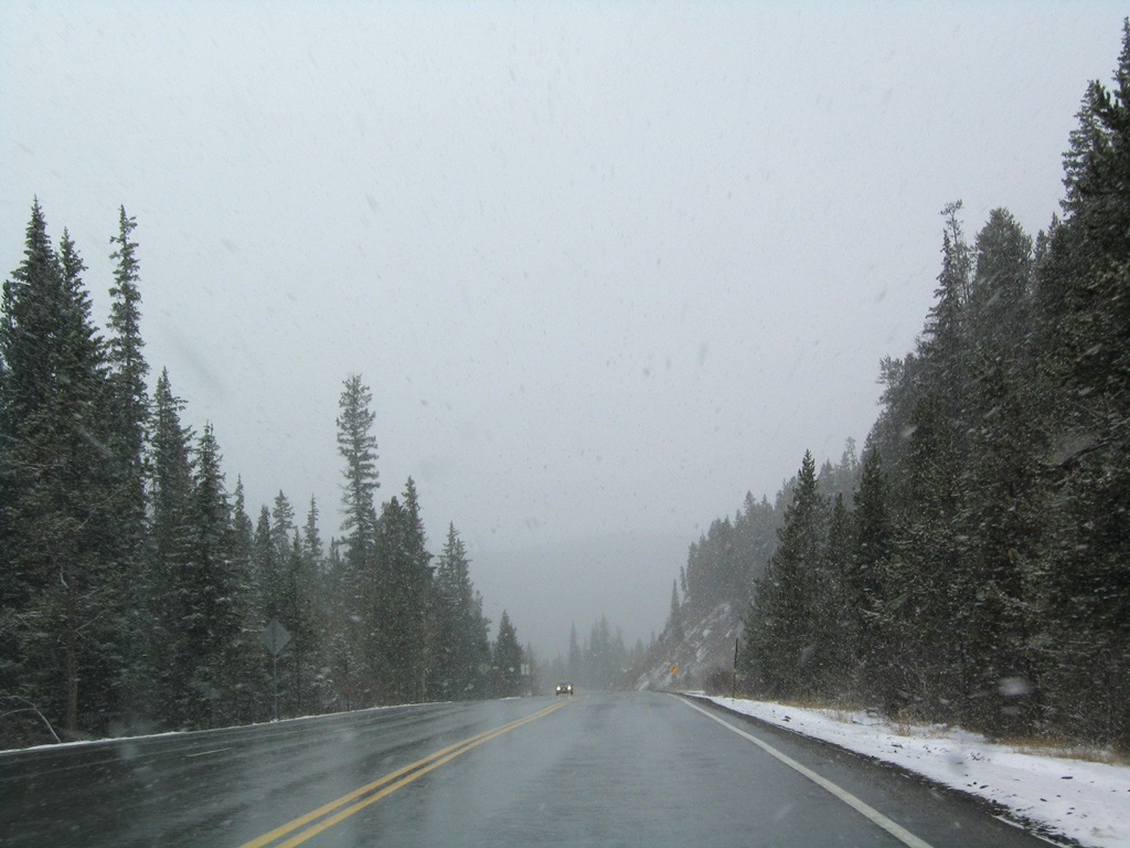
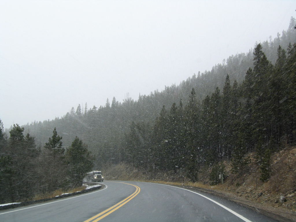
U.S. 6 (Loveland Pass Road) branches southward from Interstate 70 (Exit 216) in Clear Creek County along a winding course to Loveland Pass and the Arapahoe basin before turning west for Keystone, Dillon, and Silverthorne. A very scenic route, it is the only alternative for commercial vehicles which are prohibited from using the Eisenhower Tunnels along I-70.
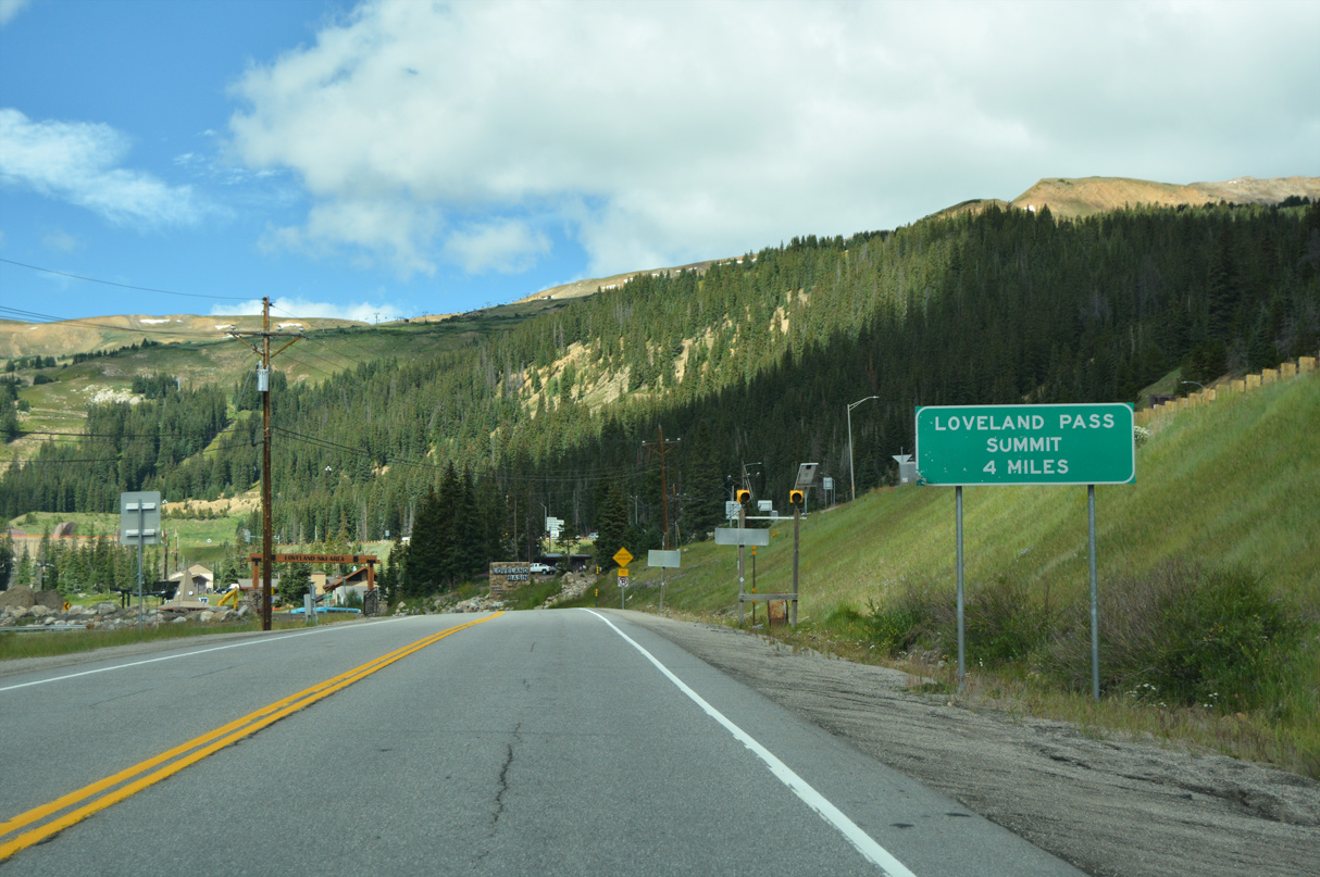
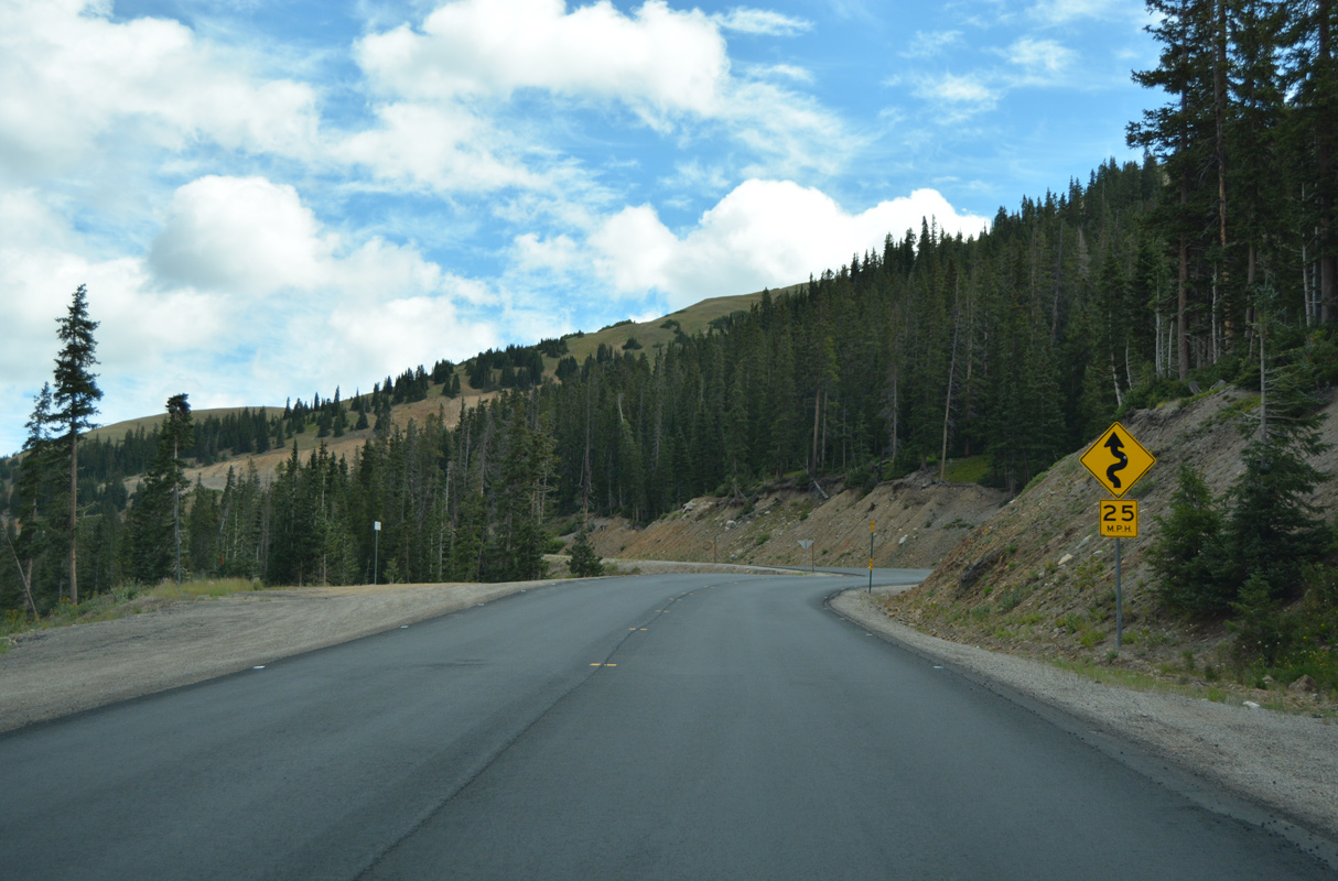
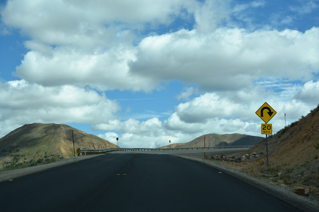
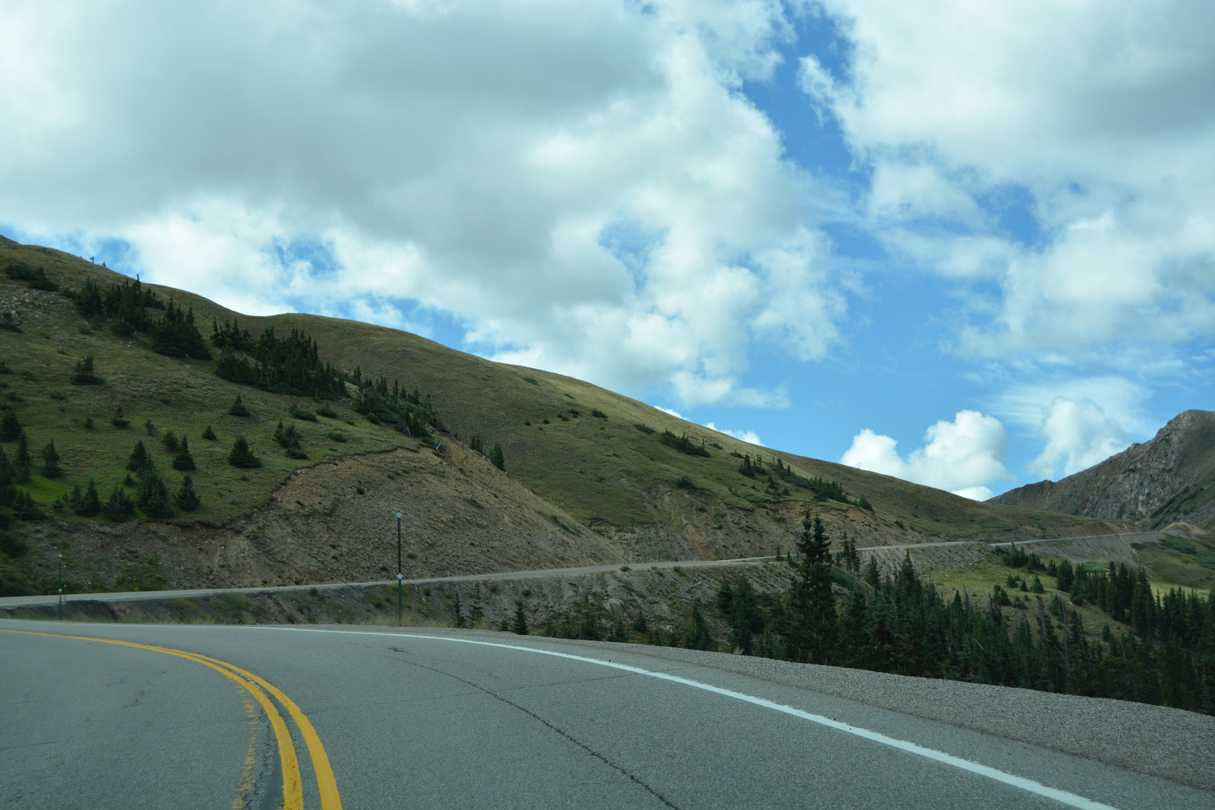
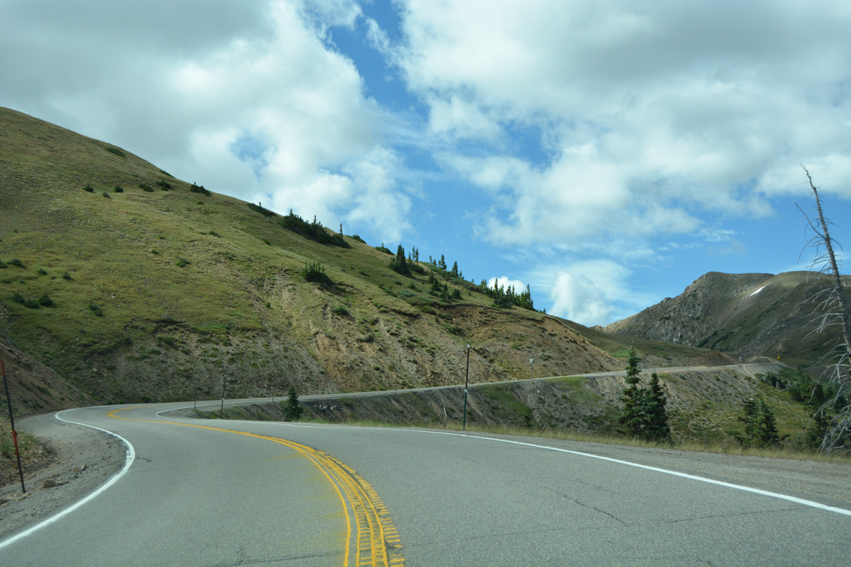
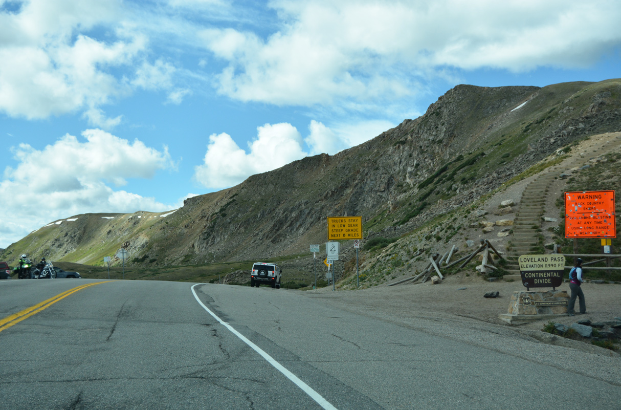
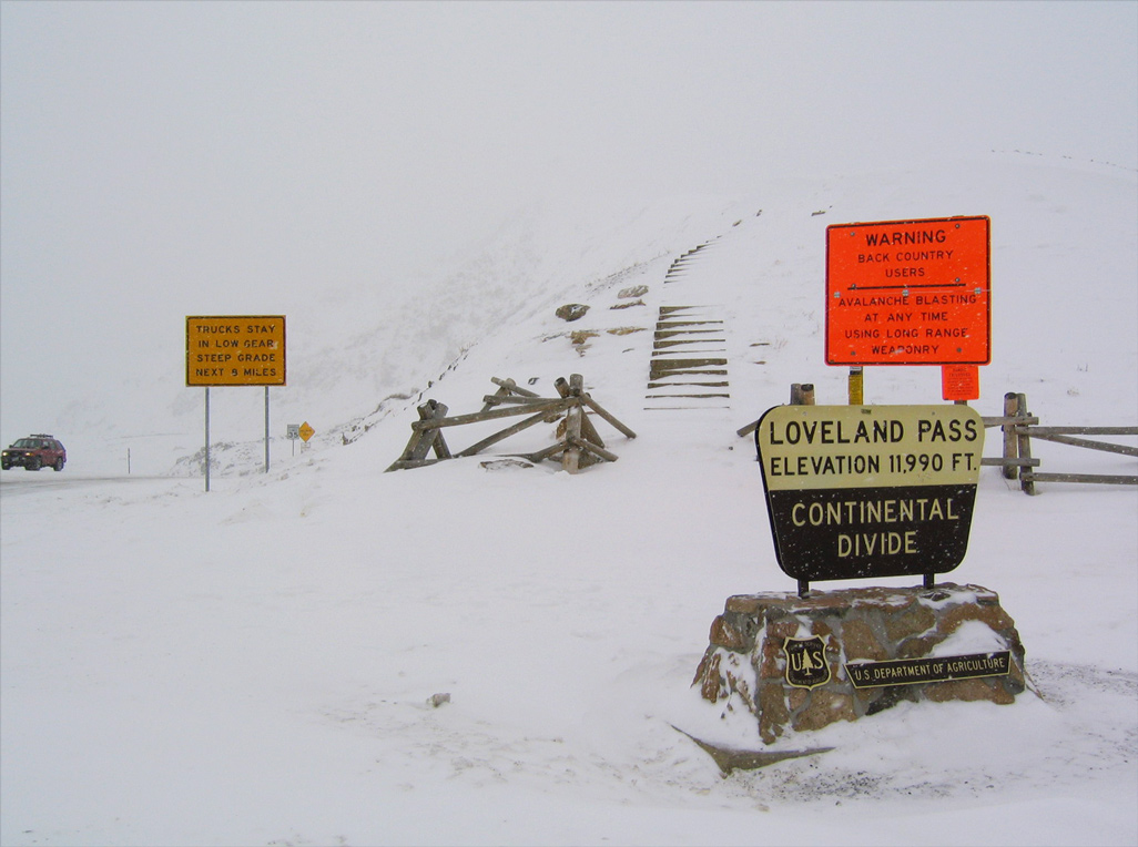
Staying west of Mount Sniktau, U.S. 6 ascends nearly 1,200 feet from the Loveland Ski Area near I-70 to Loveland Pass (el. 11,990). The pass is located on the Continental Divide, which split watersheds that eventually flow into the Atlantic and Pacific Oceans, and also serves as the crossing between Clear Creek and Summit Counties. Loveland Pass was named in honor of the former president of the Colorado Central Railroad, William A.H. Loveland1, and represents the highest point along U.S. 6 across the country.
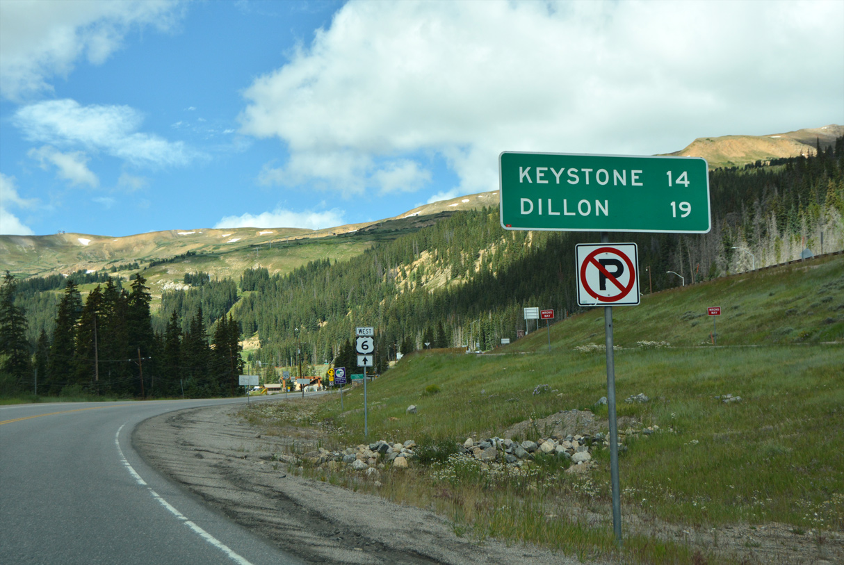
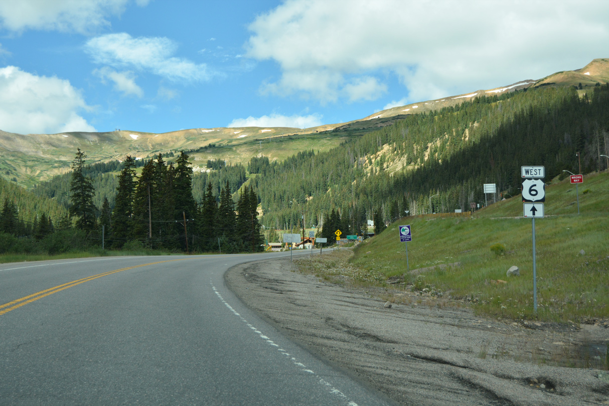
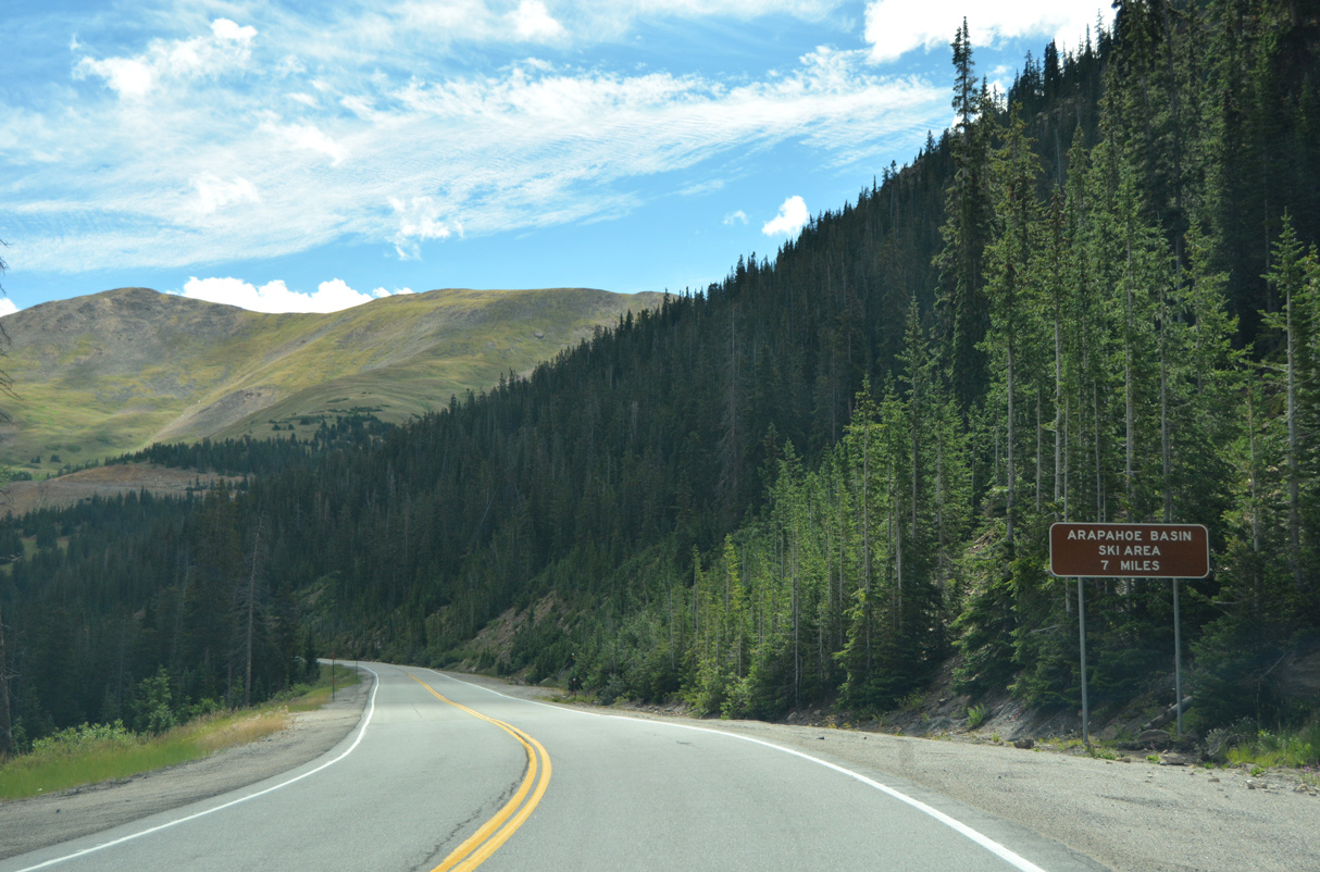
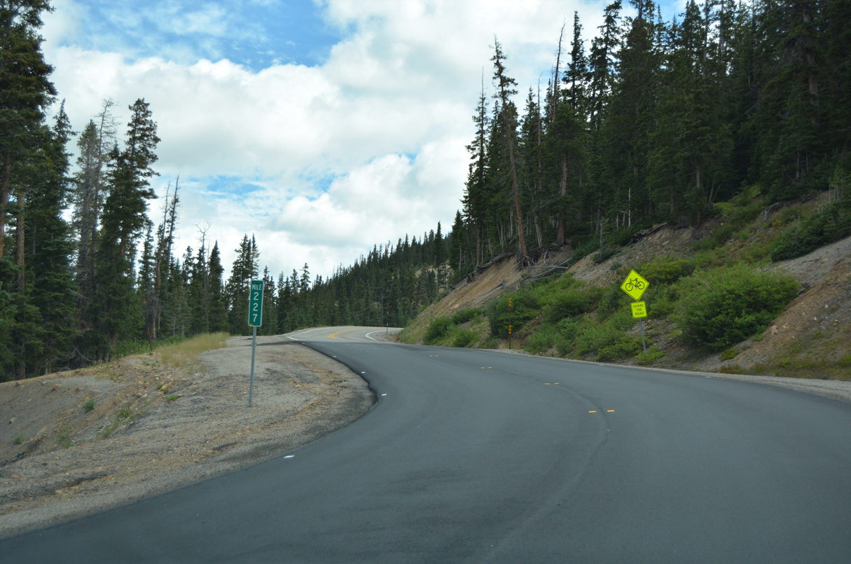
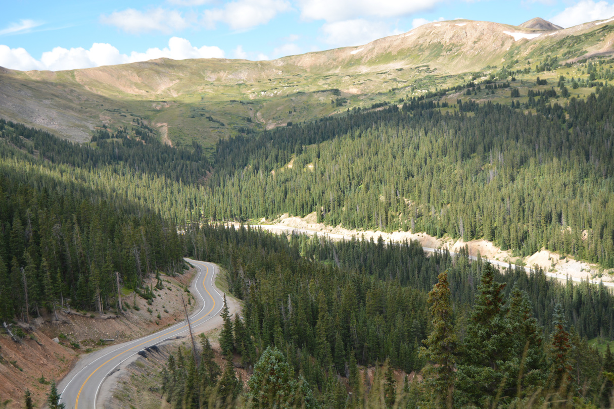
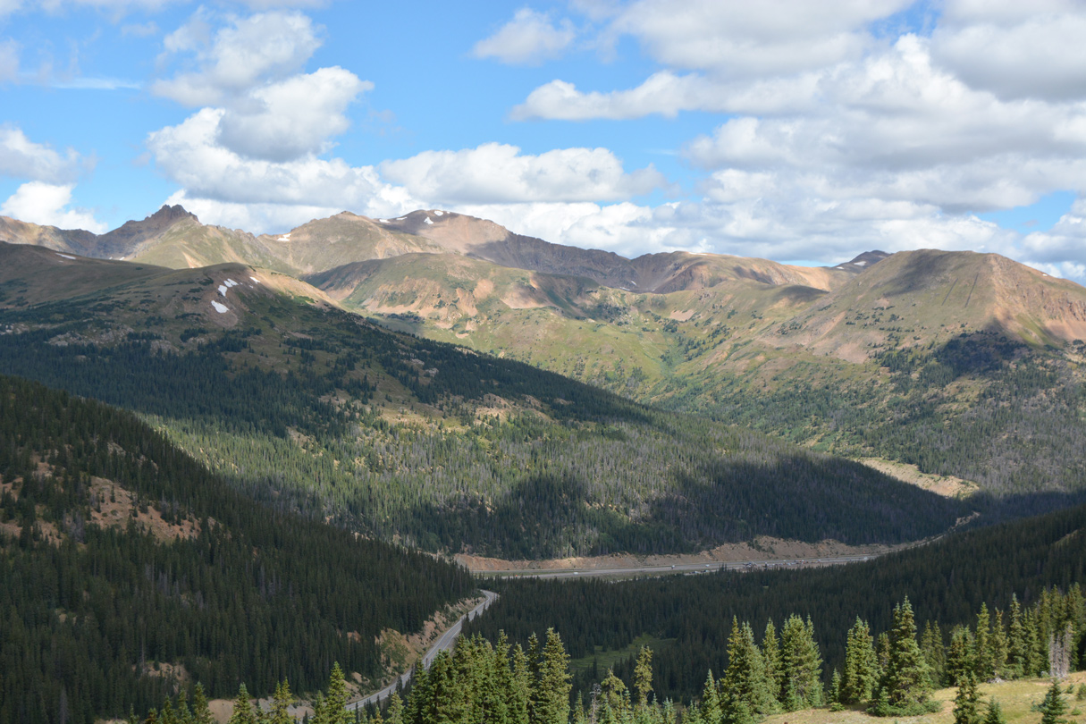
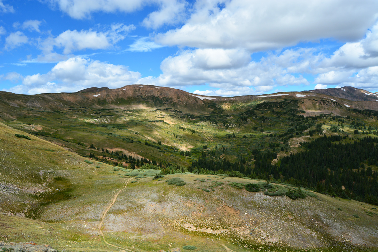
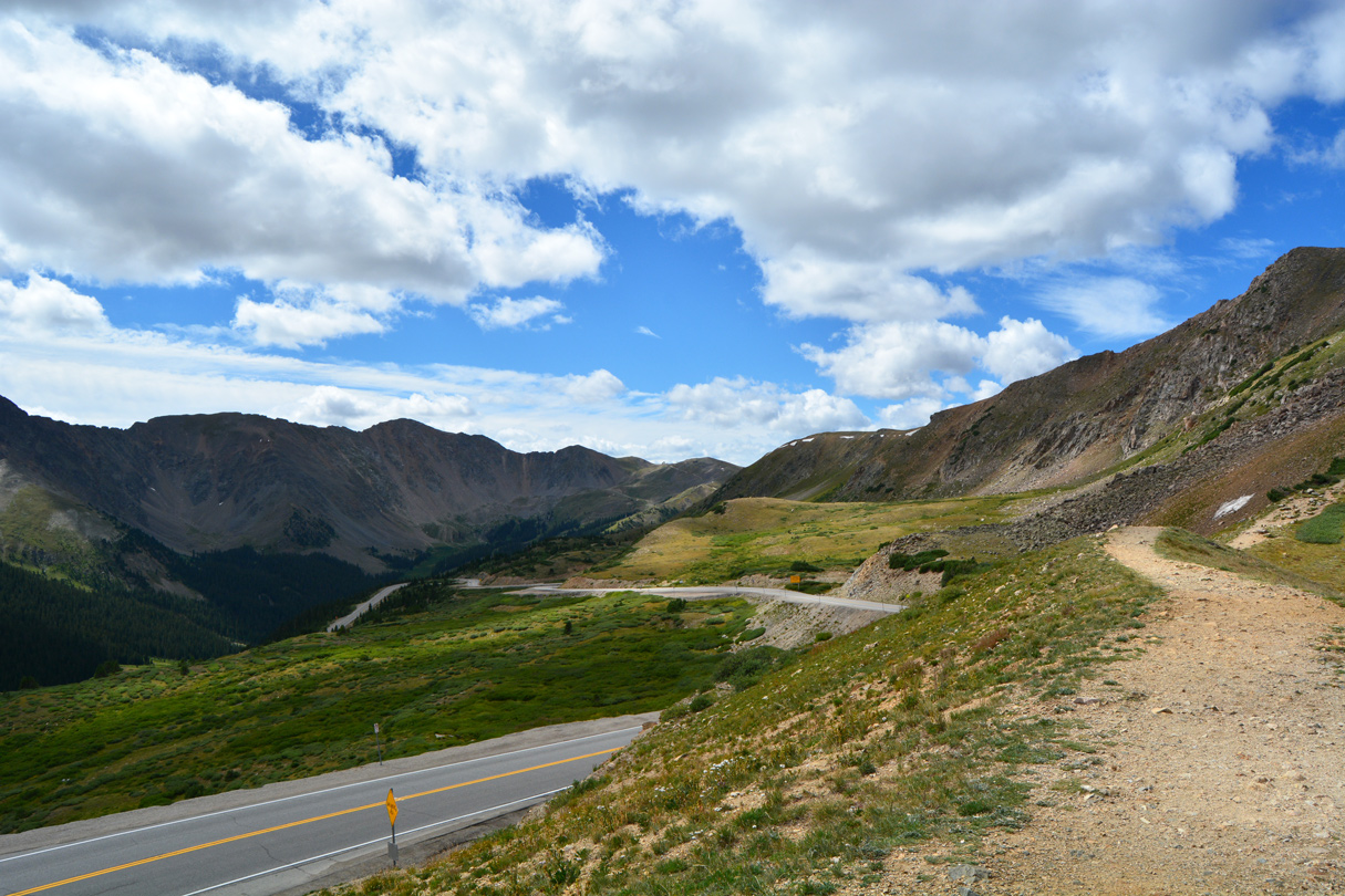
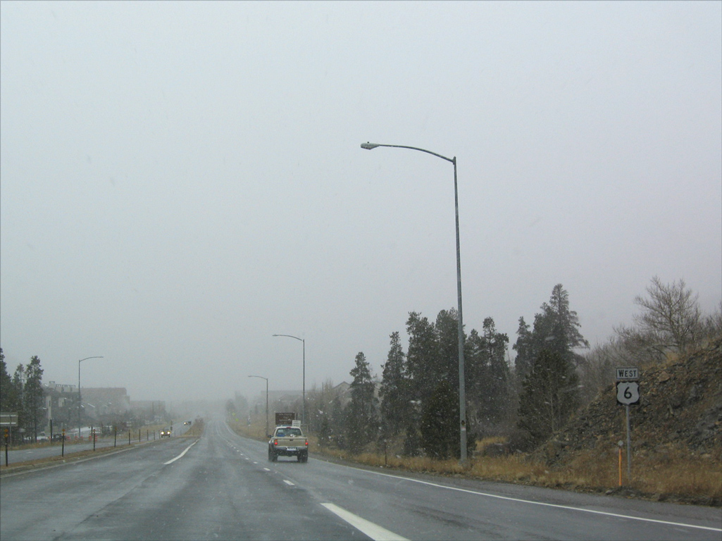
U.S. 6 begins its descent from Loveland Pass in Summit County, continuing on a winding course southward to the Arapahoe Basin Ski Area, located near Grizzly Peak. Following the North Fork of the Snake River, U.S. 6 turns southwestward to the community of Keystone, lowering to near 9,400 feet in elevation. Leaving Keystone, U.S. 6 angles northwest along the Dillon Reservoir to the towns of Dillon and Silverthorne, where the route rejoins I-70.
 West
West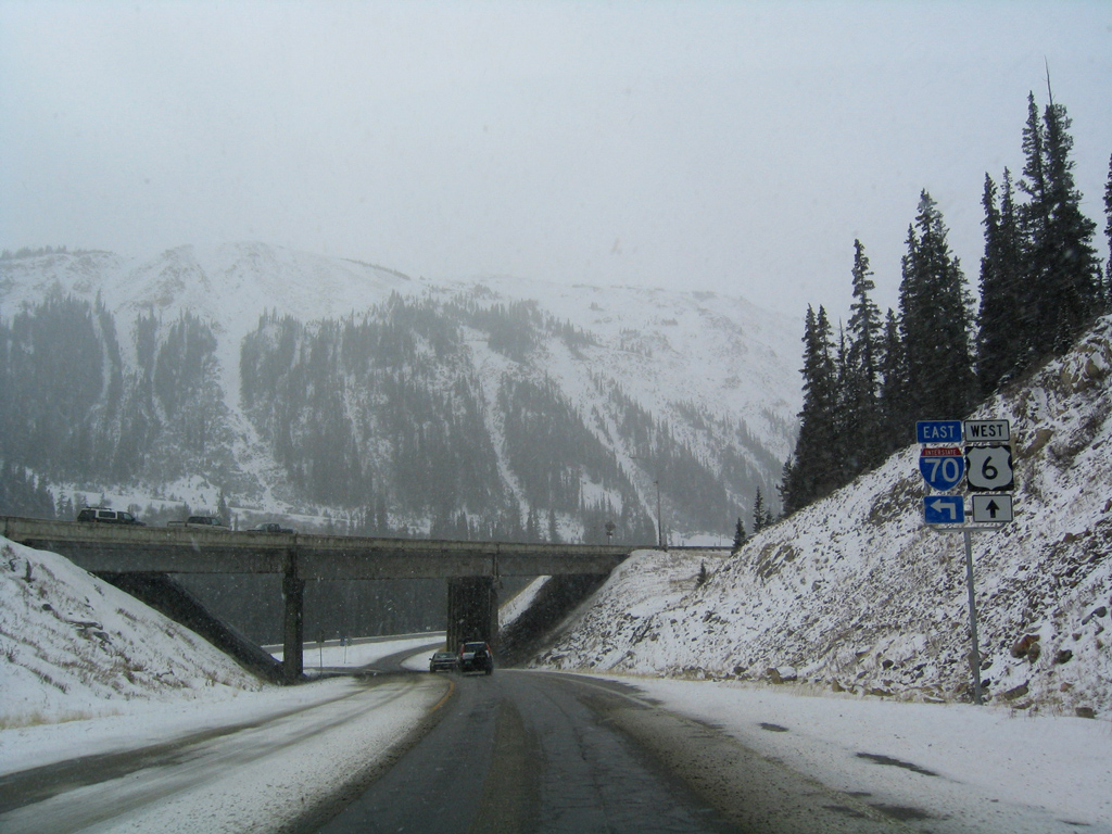
11/10/03

11/10/03
08/11/16
08/11/16
08/11/16
08/11/16
08/11/16
08/11/16
08/11/16
08/11/16
08/11/16
08/11/16
08/11/16

08/11/16
08/11/16
11/10/03
08/11/16
08/11/16
08/11/16
08/11/16
11/10/03
08/11/16
08/11/16
11/10/03
11/10/03
11/10/03
11/10/03
11/10/03
References:
- Loveland Pass – Silver Plume-Keystone (www.uncovercolorado.com).
Photo Credits:
- Andy Field: 11/10/03
- ABRoads: 08/11/16
Connect with:
Page Updated Friday January 28, 2022.