
U.S. 12 East - Lake County

 East
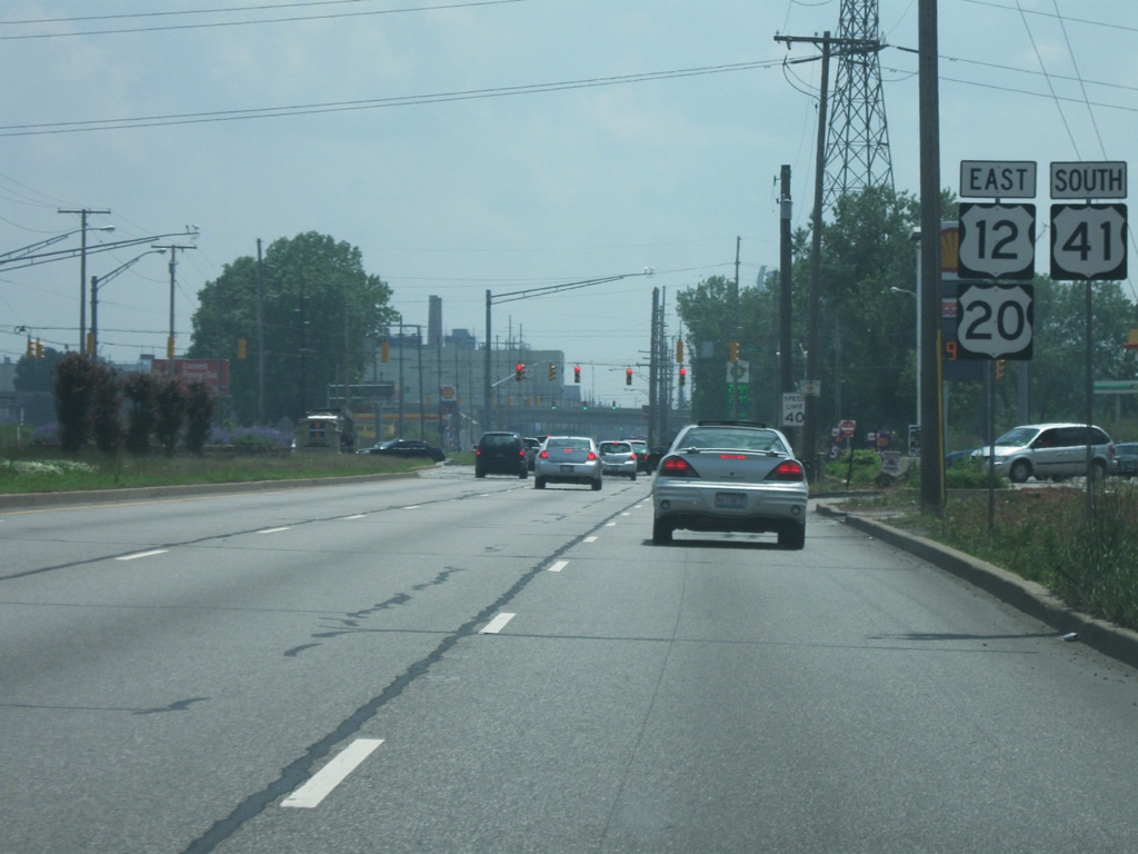
East  South
South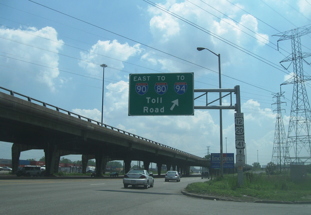
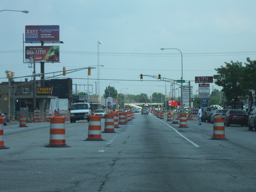
At the intersection of Indianapolis Boulevard and Avenue A in Chicago across from the far northwestern tip of the state of Indiana. Here U.S. 12/U.S. 20/U.S. 41 all enter the Hoosier State in the city of Hammond (population 80,830). As of the 2010 Census, Hammond is the largest city in the Northwestern Indiana region. Together with Gary, East Chicago and Whiting, they form the Calumet Region, or "the Region" to locals, an area of industrial cities that formed along the southern shore of Lake Michigan. At this location, the Chicago Skyway crosses the state line and Indianapolis Boulevard to become the Indiana Toll Road.
05/24/10
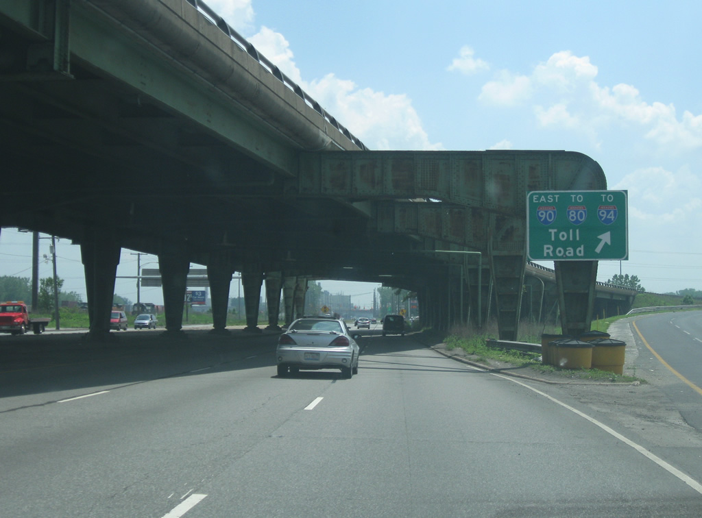
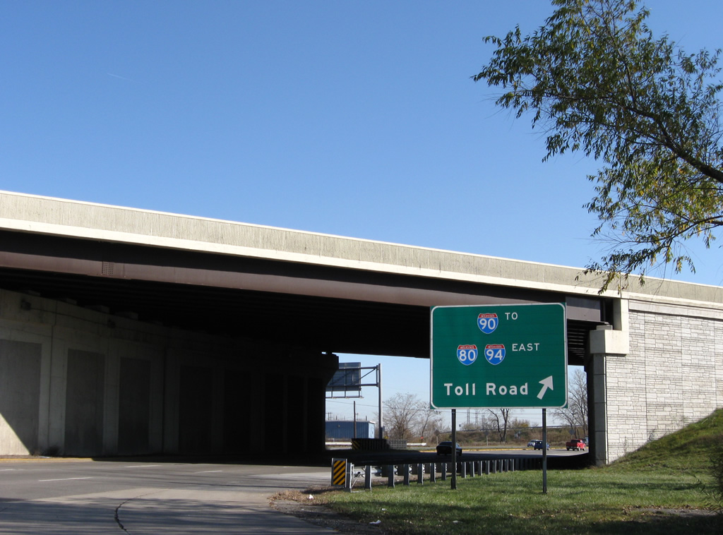
As the Indiana Toll Road crosses Indianapolis Boulevard (U.S. 12/U.S. 20/U.S. 41) a ramp directs traffic from southbound Indianapolis Boulevard to southbound Indiana Toll Road. The Indiana Toll Road carries the designation of Interstate 90, part of the longest interstate in the country, stretching from Seattle to Boston, and going for 157 miles across northern Indiana via South Bend and Angola. The Toll Road also provides access to Interstate 94 (which heads for Detroit) and Interstate 80, which multiplexes with it 21 miles to the east.
05/24/10
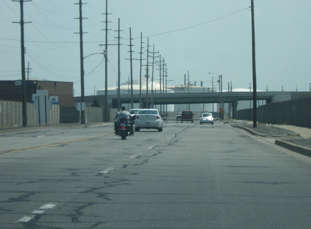
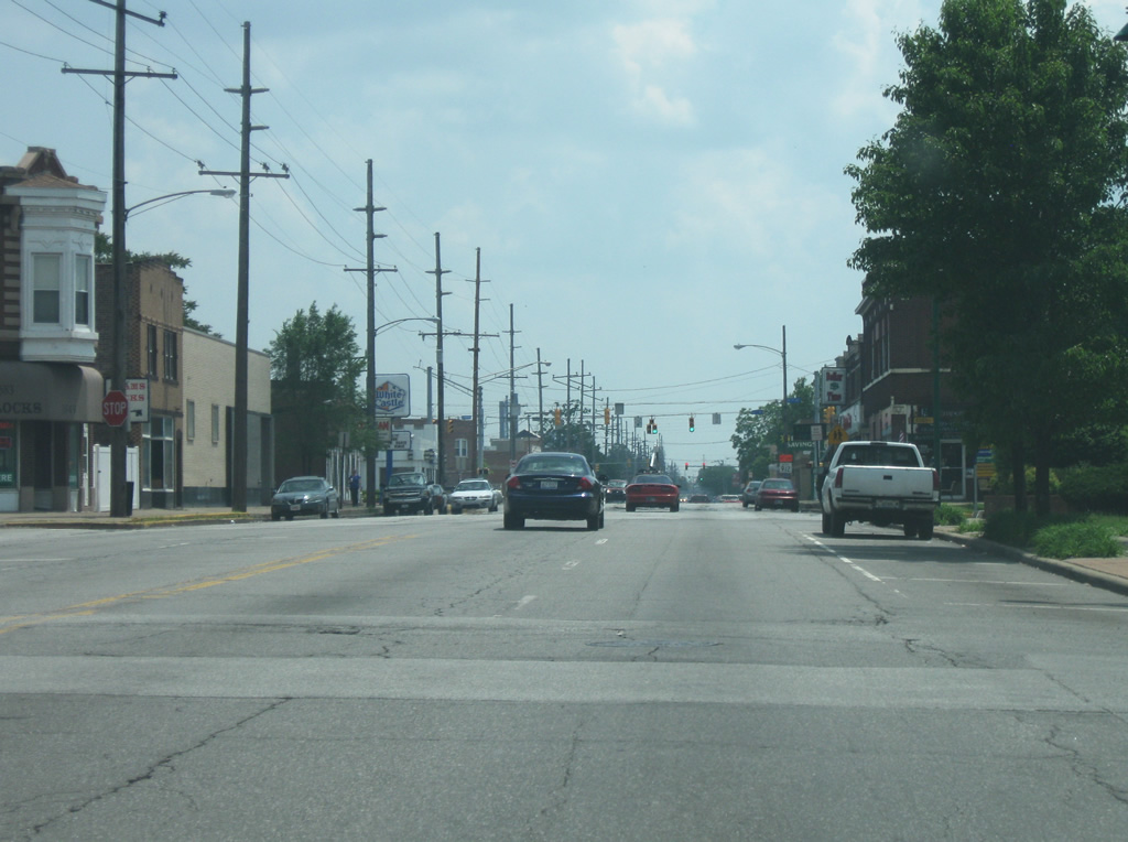
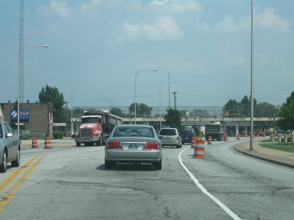
Indianapolis Boulevard (U.S. 12/20/41) east of the Horseshoe Casino. The Indiana side of the border is notable for having several gas stations offering lower gas prices, among other items, than in Chicago, that bring plenty of Chicagoans across the border. Just south of this location, U.S. 41 breaks off toward the south along Calumet Avenue which heads toward the heart of Hammond as part of its 280 mile routing across western Indiana via Terre Haute and Evansville. In all, the highway goes for 2,000 miles from the Upper Peninsula of Michigan to Miami, Florida.
05/24/10
East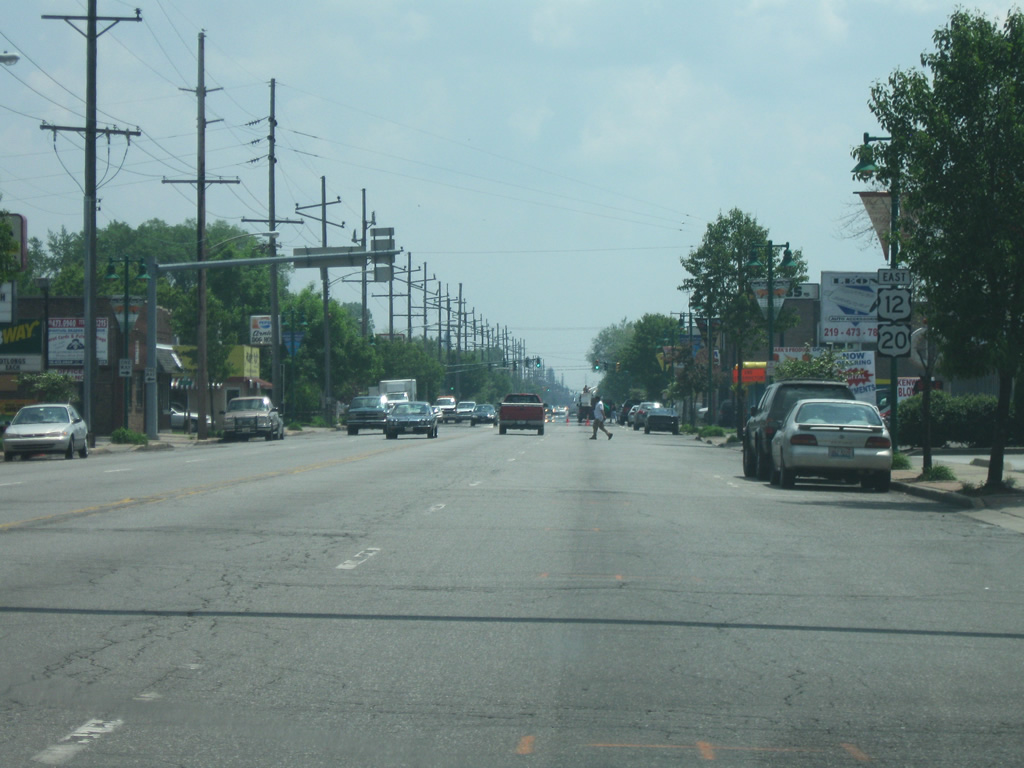
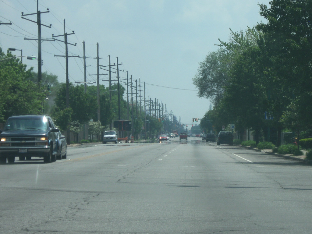
East of Calumet Avenue (U.S. 41), Indianapolis Boulevard (U.S. 12/U.S. 20) runs southeast through the Robertsdale neighborhood of Hammond. While connected via corporation boundaries, Robertsdale is cut off from the rest of Hammond and shares a closer tie to the next-door city of Whiting. Indianapolis Boulevard runs through both Robertsdale and Whiting with little indication of the city limits between Hammond and Whiting.
05/24/10
Indianapolis Boulevard (U.S. 12/U.S. 20) as it runs through the city of Whiting. Whiting (population 4,997) was founded as a factory town to the Standard Oil of Indiana company refinery. Today, it is home to the BP Refinery, the largest in the Midwest. The city is also known for its Pierogi Fest, a 3-day festival along 119th Street in downtown Whiting, celebrating Polish heritage.
05/24/10
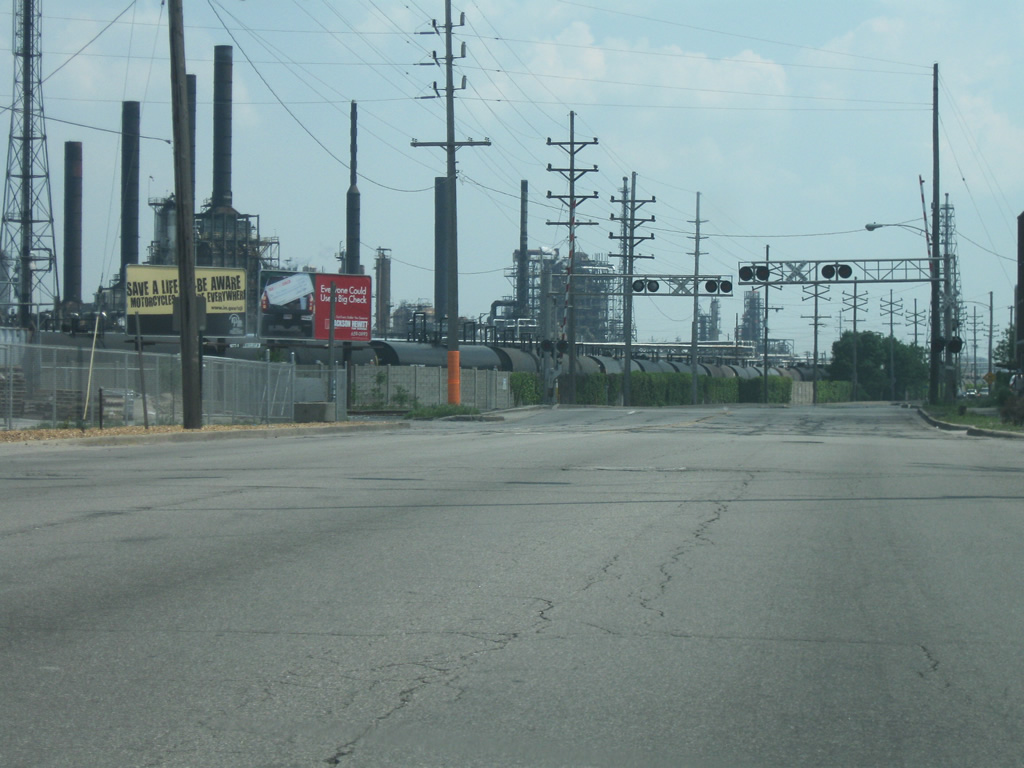
Indianapolis Boulevard (U.S. 12/U.S. 20) leaves the urbanized part of Whiting and enters the industrial section, dominated by the BP Refinery.
05/24/10
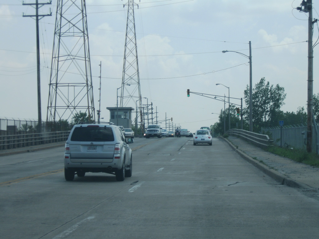
South on Indianapolis Boulevard (U.S. 12/U.S. 20) a sign marks this route as part of the Lake Michigan Circle Tour, which follows U.S. 12 in its trip around the southern end of Lake Michigan in Indiana.
05/24/10
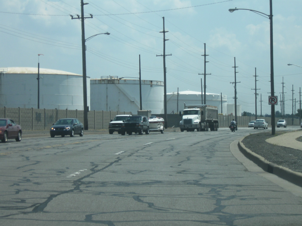
Indianapolis Boulevard (U.S. 12/U.S. 20) continues south into the city of East Chicago, passing by more oil storage tanks as part of the BP Refinery. In the second picture, the bridge in the background is SR 912, which is open as it crosses Indianapolis Boulevard. The closure of the highway begins just east of this location at Exit 3 for Riley Road.
05/24/10
Indianapolis Boulevard (U.S. 12/U.S. 20) crosses the Lake George Canal via a drawbridge into the city of East Chicago (population 29,698).
05/24/10
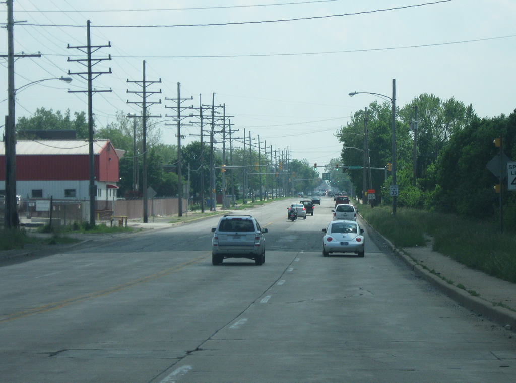
After spending a few miles through industrial lands, Indianapolis Boulevard (U.S. 12/U.S. 20) returns to a neighborhood setting, keeping its four lanes intact.
05/24/10
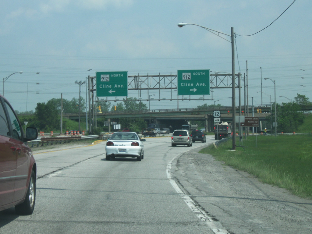
Indianapolis Boulevard approaches the intersection of Columbus Avenue, the main west-east road across East Chicago. At this intersection, U.S. 12 heads east along Chicago Avenue while U.S. 20 continues south along Indianapolis Boulevard. Note the SR 912 detour sign directing traffic along U.S. 12.
05/24/10
East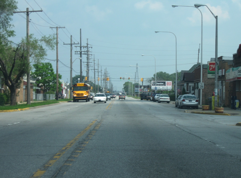
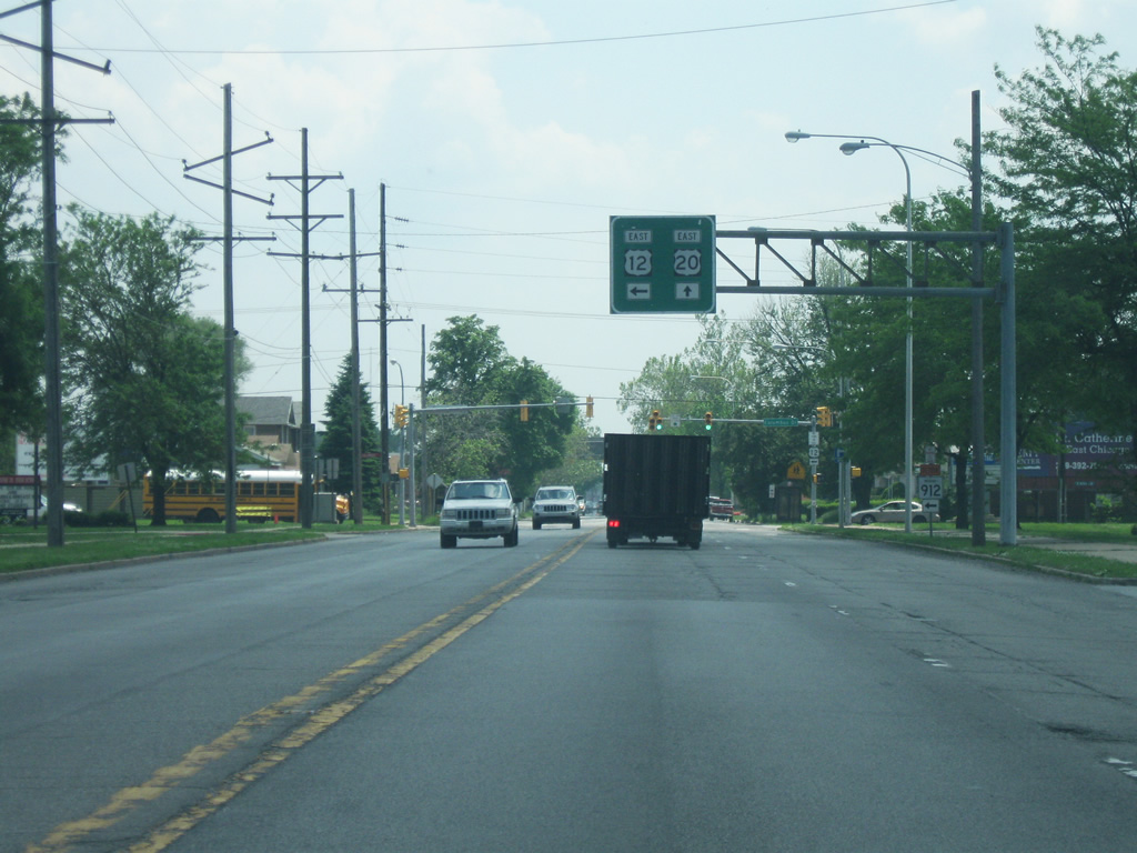
U.S. 12 continues to the east along Columbus Avenue. East Chicago itself is separated into several regions due to canals and railroads as part of the larger industrial center of Northwest Indiana. This stretch of Chicago Avenue is within the western neighborhoods of the city.
05/24/10
Columbus Avenue (U.S. 12) crosses Kennedy Avenue and the railroad lines that separate the western neighborhoods of East Chicago with the main part of the city.
05/24/10
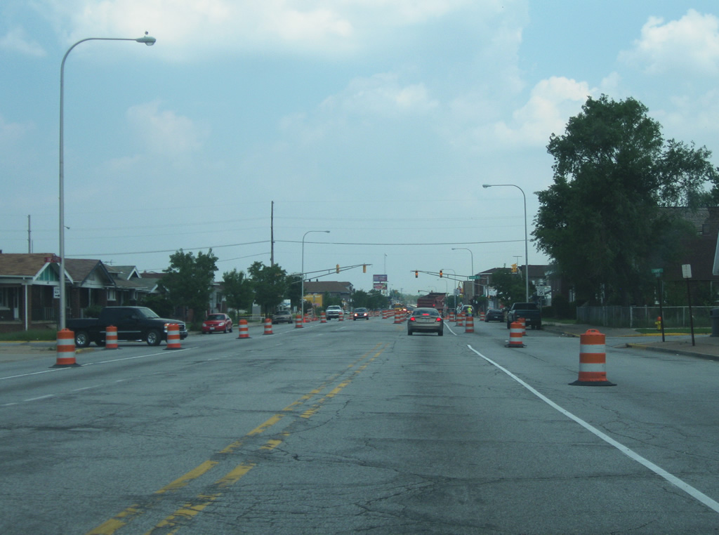
Columbus Avenue (U.S. 12) as it crosses the central part of East Chicago. The road remains four lanes (despite being reduced to two at the moment of the pictures). Columbus Avenue is the primary commercial strip across the city as it connects Indianapolis Boulevard with SR 912 (Cline Avenue). Downtown East Chicago is only a few blocks to the north.
05/24/10
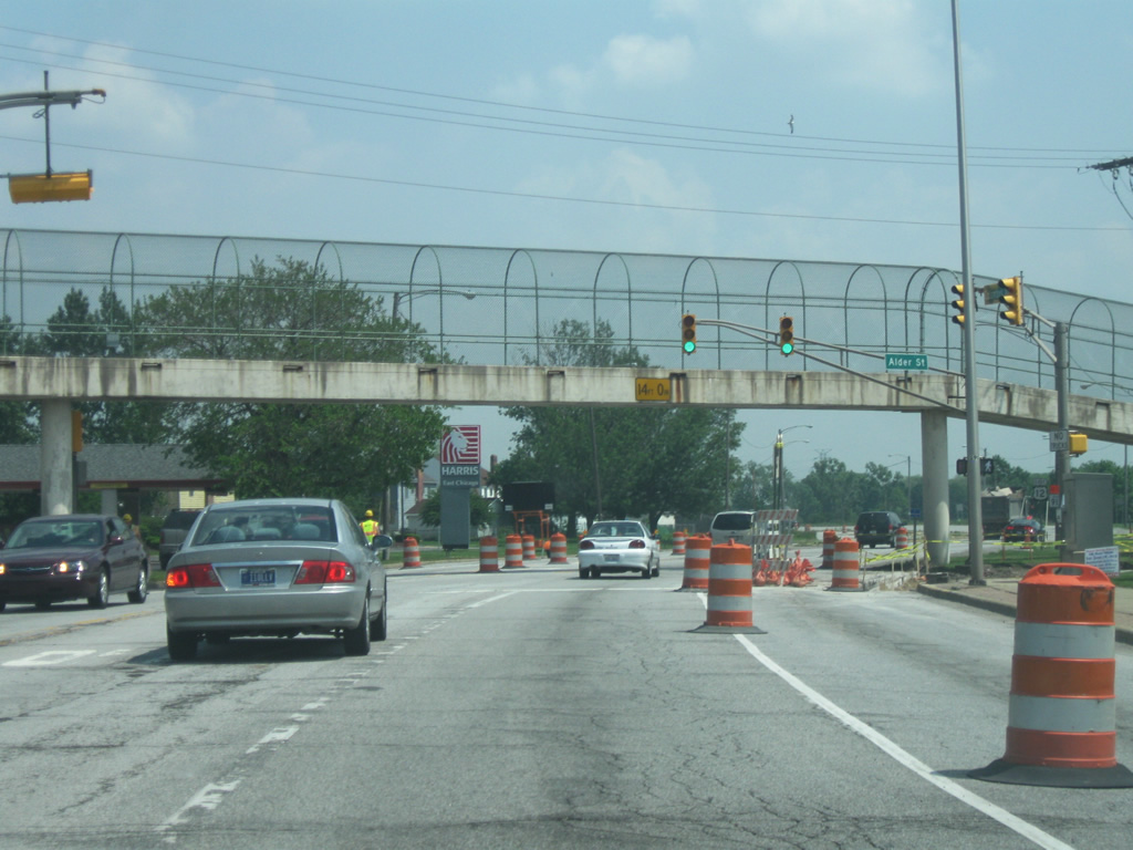
East of Elm Street, Columbus Avenue (U.S. 12) heads east as a divided four lane road east toward SR 912 (Cline Avenue). A pedestrian bridge links the southern neighborhoods and elementary and junior high schools with the central part of the city across the four lane highway.
05/24/10
Columbus Avenue (U.S. 12) at the intersection with the southbound Cline Avenue frontage road. Traffic can turn north on the frontage road to access the Majestic Star Casino and the central part of East Chicago. U.S. 12 follows the frontage road south onto SR 912 (Cline Avenue).
05/24/10
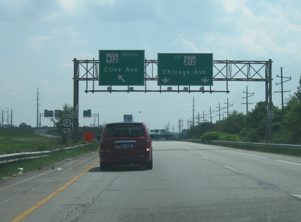
Southbound on the frontage road to SR 912 (Cline Avenue). U.S. 12 eastbound traffic is directed onto the SR 912 freeway while the frontage road continues south to Chicago Avenue (SR 312).
05/24/10
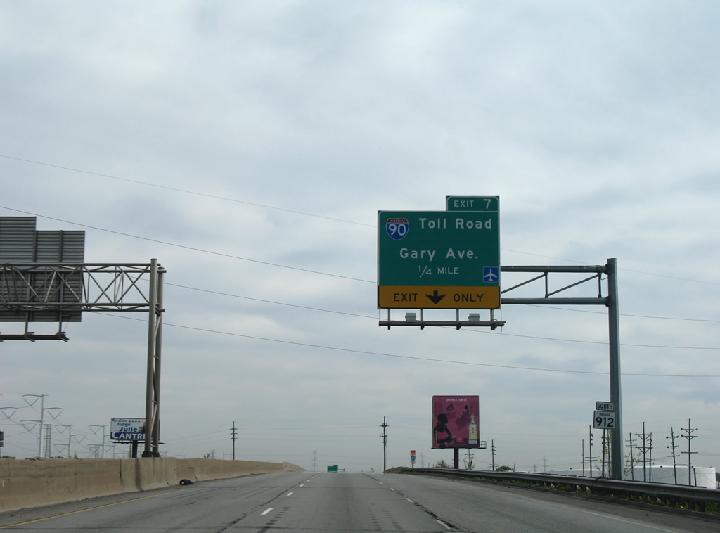
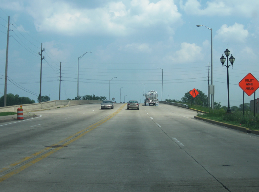
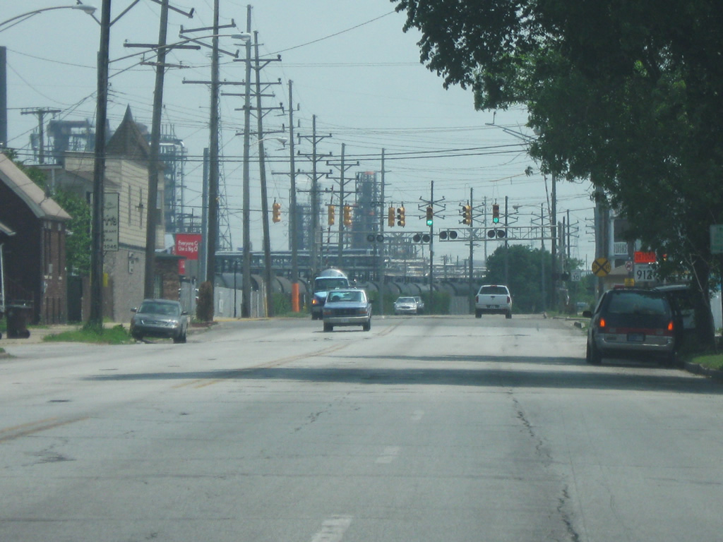
U.S. 12/SR 912 (Cline Avenue) advance south to Exit 7 for Gary Avenue and the access road to I-90 (Indiana Toll Road).
05/24/08
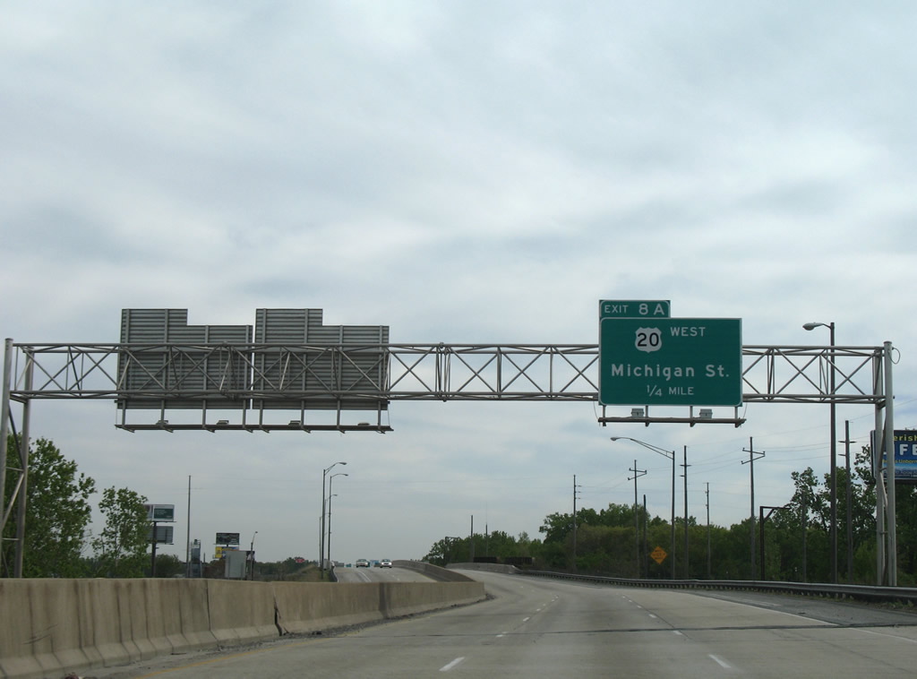
U.S. 20 follows Michigan Street along the Hammond and East Chicago line to SR 152 and the northerly turn onto Indianapolis Boulevard.
05/24/08
East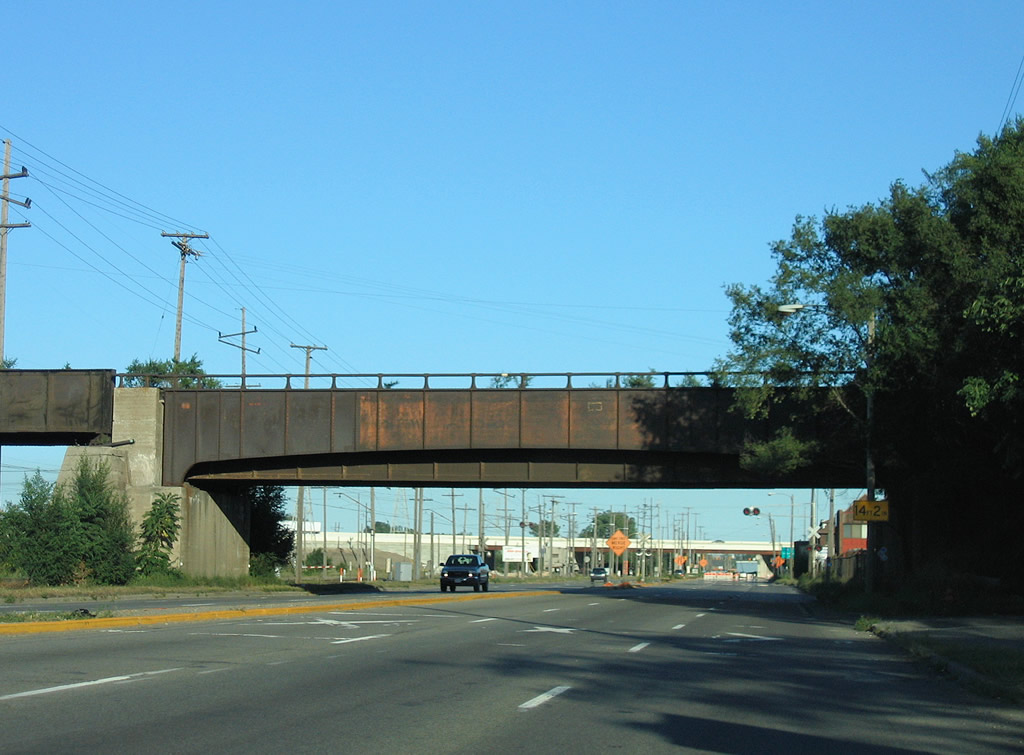
Passing under an abandoned railroad bridge along U.S. 12/20 (East Dunes Highway) east near the southbound beginning of Interstate 65 in Gary.
09/03/05
U.S. 12/20 (East Dunes Highway) intersect the north end of Interstate 65 opposite Taylor Road as Interstate 90 (Indiana Toll Road) passes above.
09/03/05
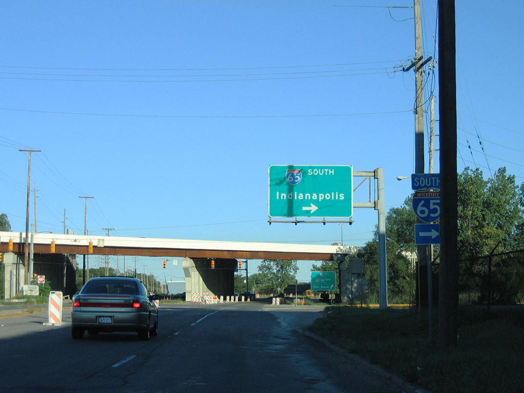
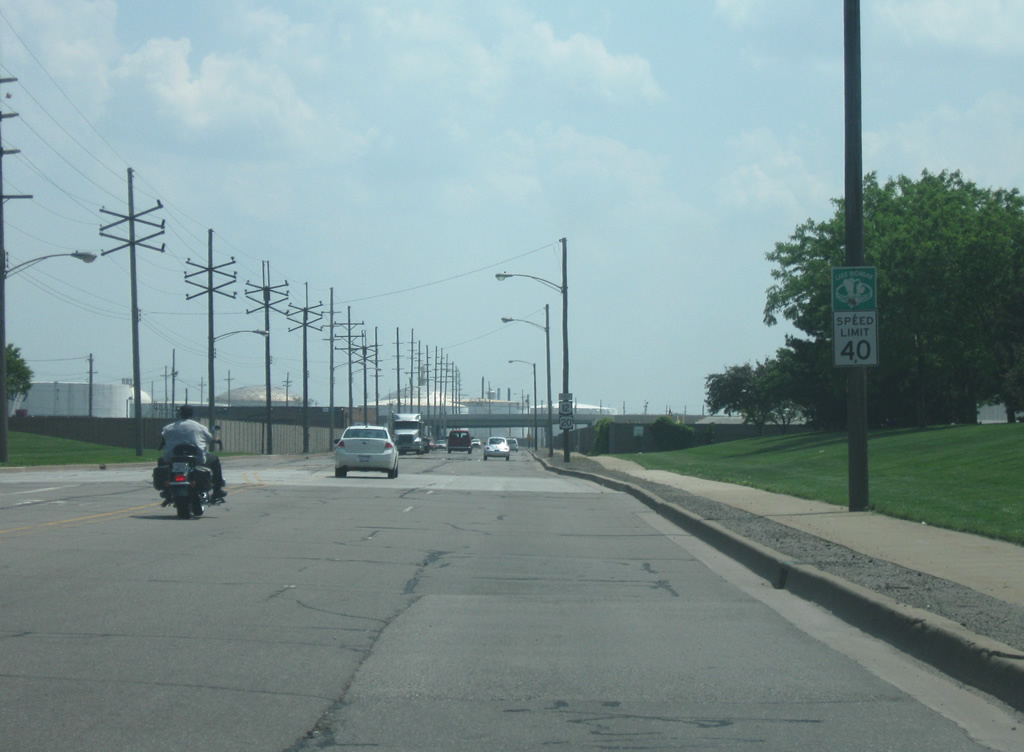
Interstate 65 begins its southward journey to Mobile, Alabama near the Aetna section of east Gary. The freeway reaches the capital city of Indiana in 148 miles.
09/03/05
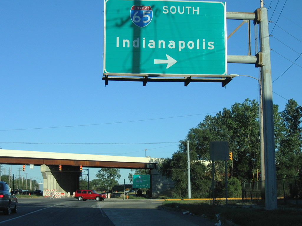
Traffic lights govern the movements between U.S. 12/20 (East Dunes Highway), Interstate 65 south, and Taylor Road north. Interstate 65 constitutes a 887 mile route between Gary, Indianapolis, Louisville, Nashville, Birmingham, Montgomery, and Mobile.
09/03/05
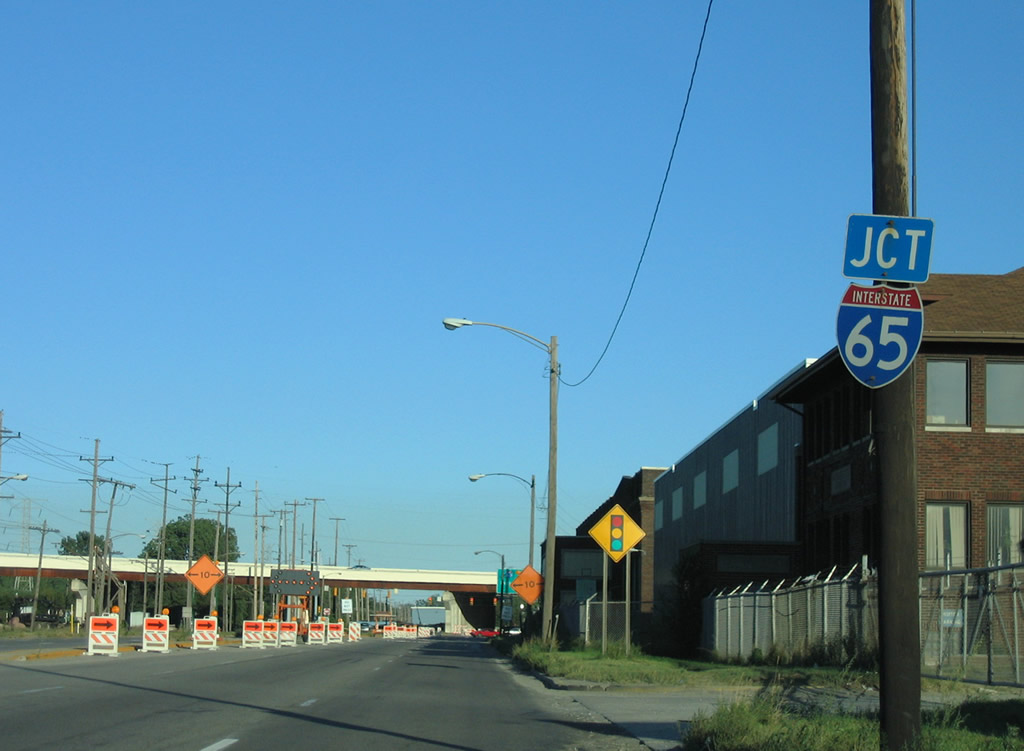
U.S. 12/20 (East Dunes Highway) see a trumpet interchange with Interstate 90 (Indiana East-West Toll Road) after their signalized intersection the north end of Interstate 65. The toll road on-ramps combine with ramps from Interstate 65 north at Exit 17.
11/05/09
Continuing east from the Toll Road on-ramp along U.S. 12/20 eastbound. The ramp to Interstate 90 passes overhead in the background.
09/03/05
Four lanes of U.S. 12/20 (Dunes Highway) to a signalized intersection with Utah Street south and East 7th Avenue at the Aetna neighborhood of Gary. The Chicago, South Shore & South Bend Railroad parallels the road to the north.
09/03/05
Photo Credits:
- Thomas Decker: 05/24/10
- Alex Nitzman: 05/24/08
- AARoads: 09/03/05
- ABRoads: 11/05/09
Connect with:
Page Updated Monday January 23, 2012.