
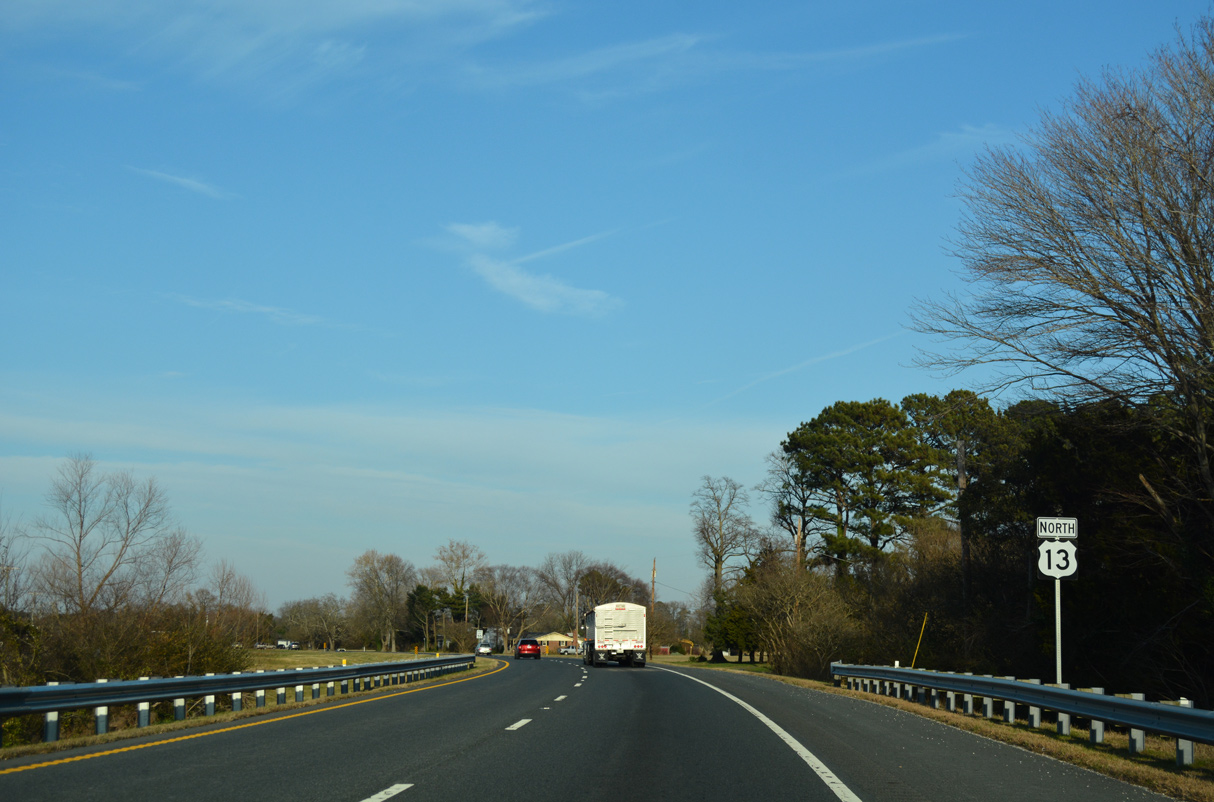
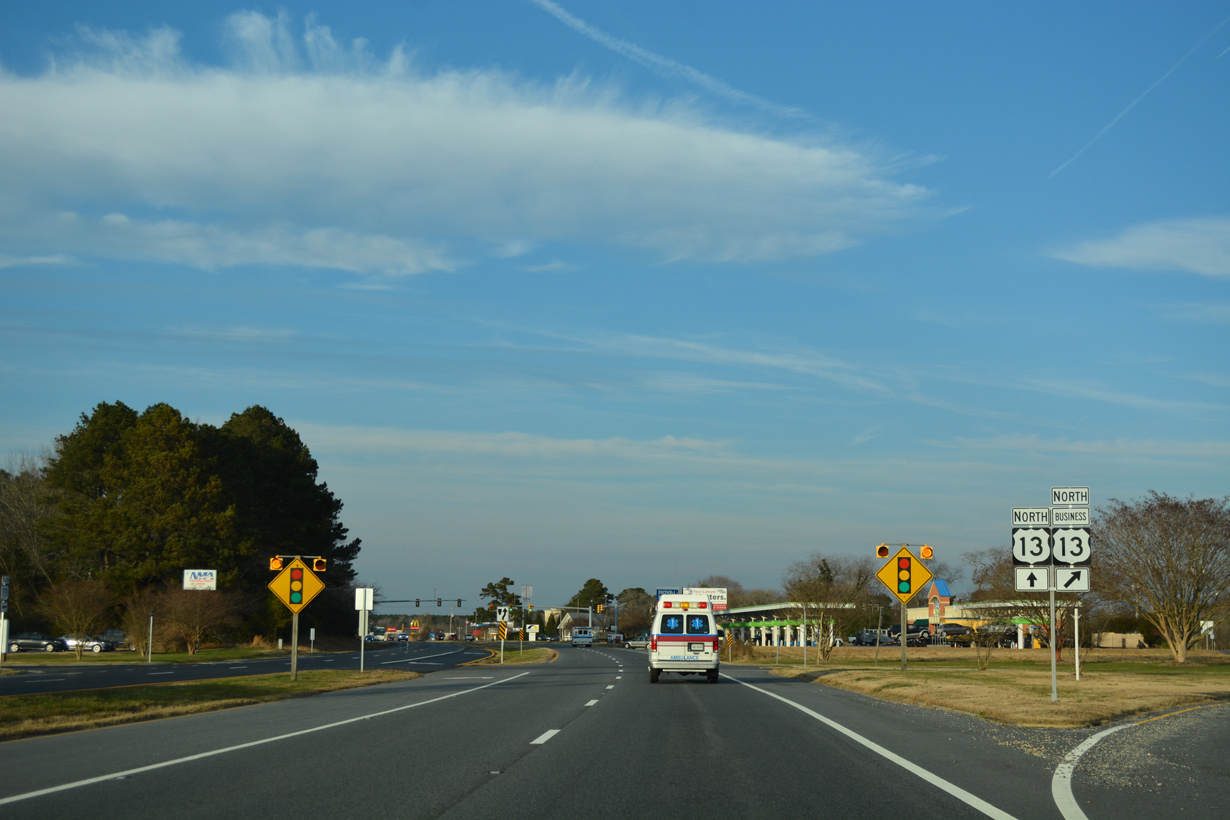
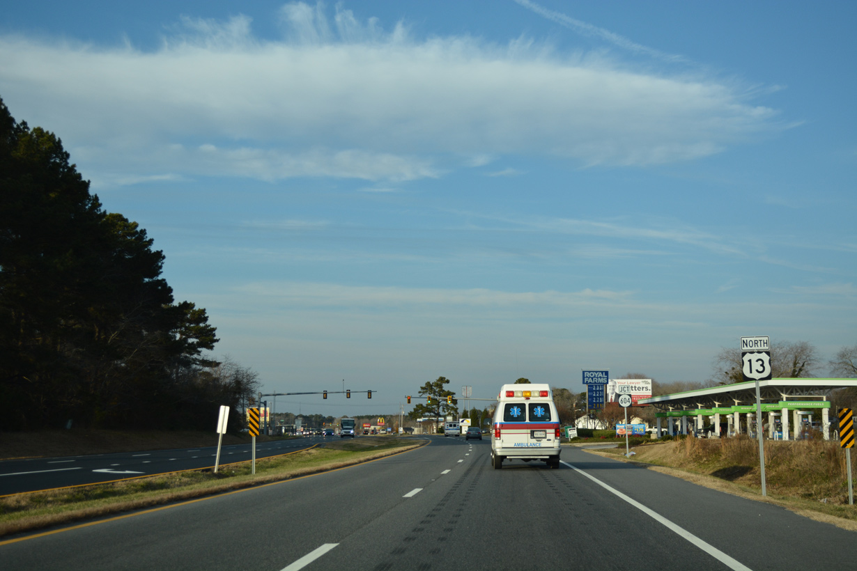
U.S. 13 North - Northampton County
 North
North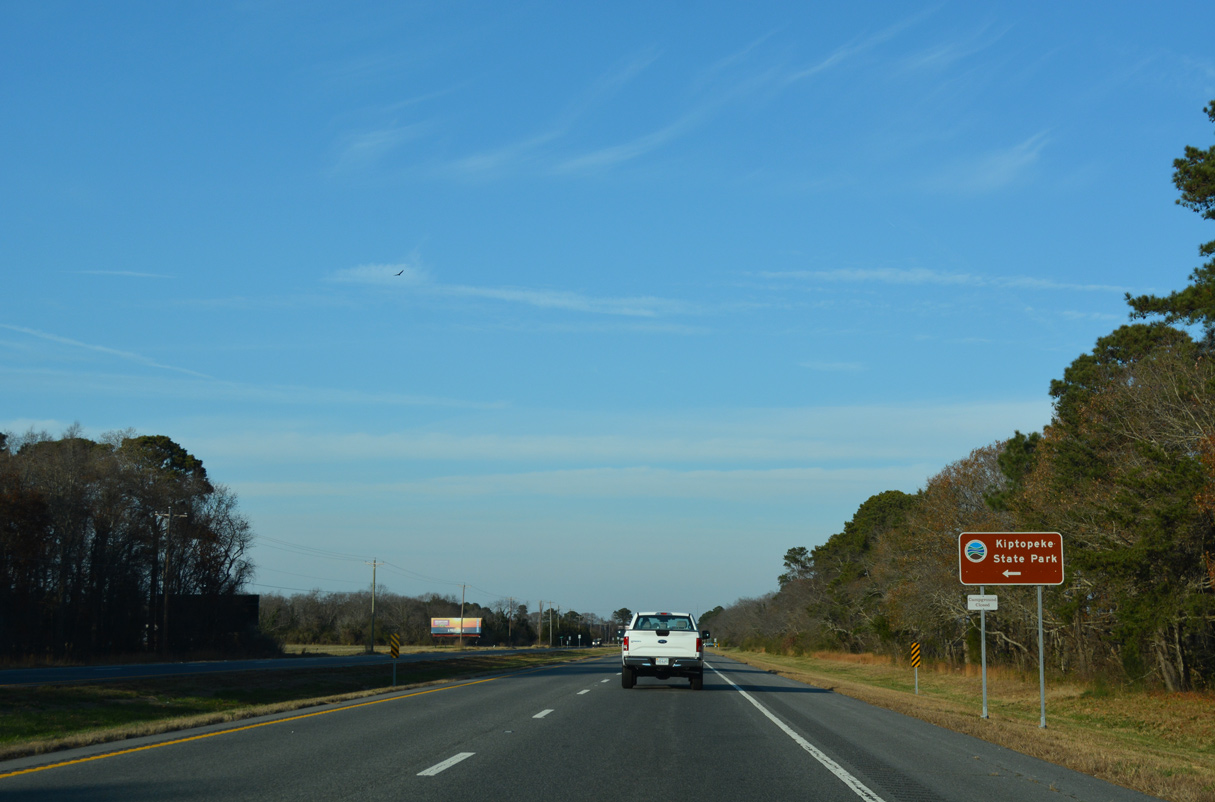
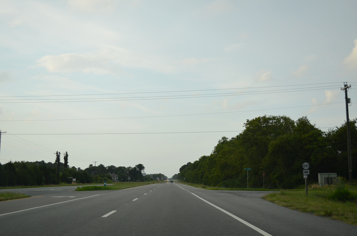
SR 645 (Cedar Grove Road) connects U.S. 13 (Lankford Highway) with Kiptopeke Drive (SR 704), 0.24 miles to the west. SR 704 spurs southwest along former U.S. 13 into Kiptopeke State Park.
12/14/17
12/14/17
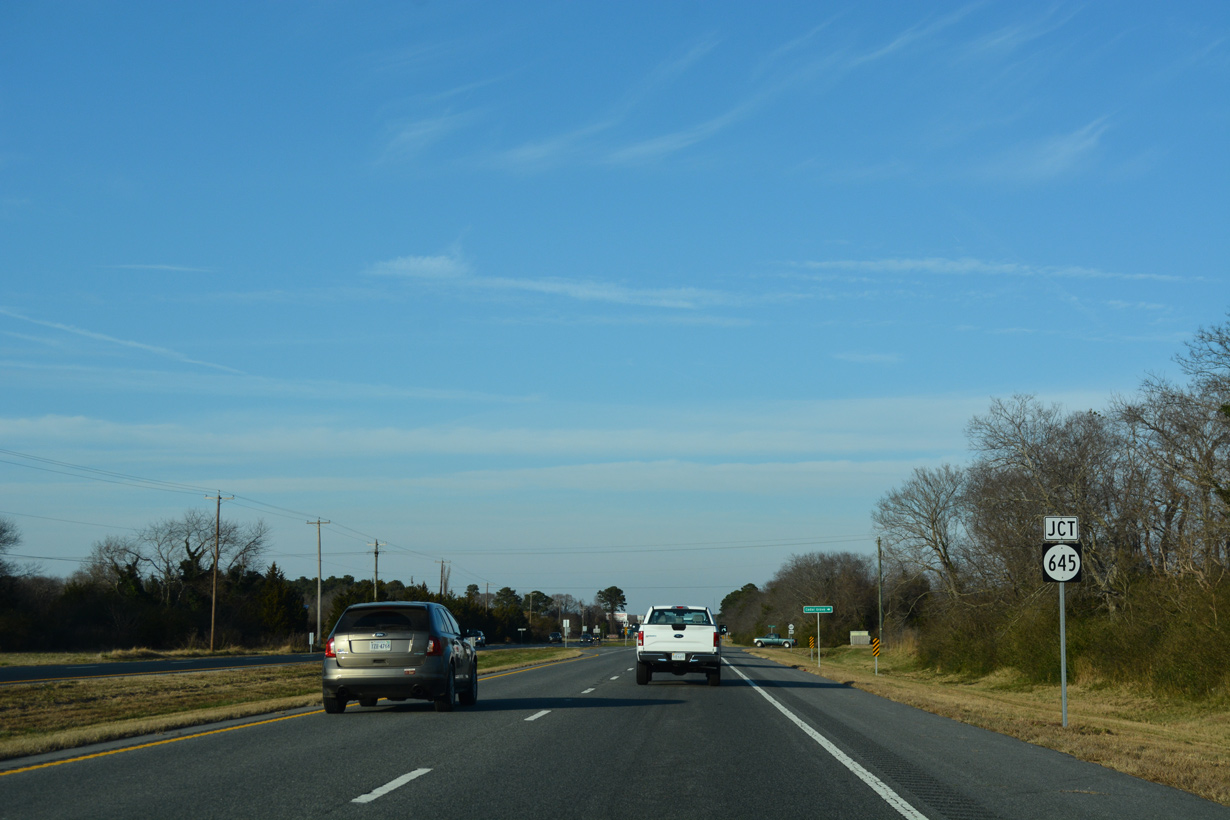
SR 645 (Cedar Grove Road) continues 0.23 miles east from U.S. 13 to SR 600 (Seaside Road).
12/14/17
12/14/17
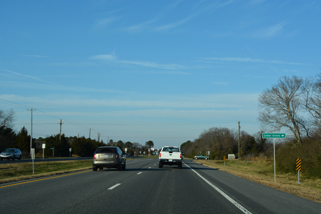
The community of Cedar Grove lies just east of U.S. 13 along Seaside Road (former SR 186).
12/14/17
12/14/17
SR 645 follows Arlington Road northwest to Cheapside.
07/28/13
07/28/13
12/14/17
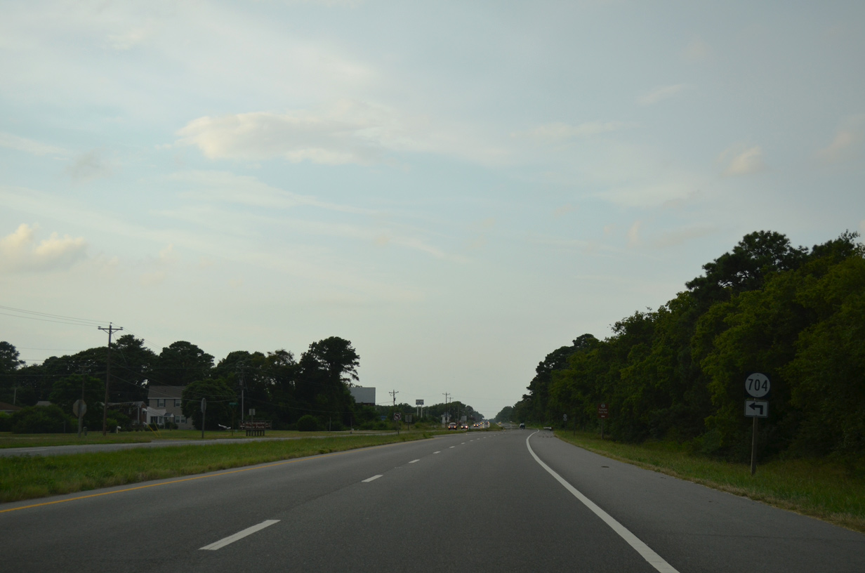
U.S. 13 (Lankford Highway) next converges with SR 704 (Kiptopeke Drive), the historic alignment of U.S. 13 north from Little Creek Ferry across Chesapeake Bay.
07/28/13
07/28/13
12/14/17
12/14/17

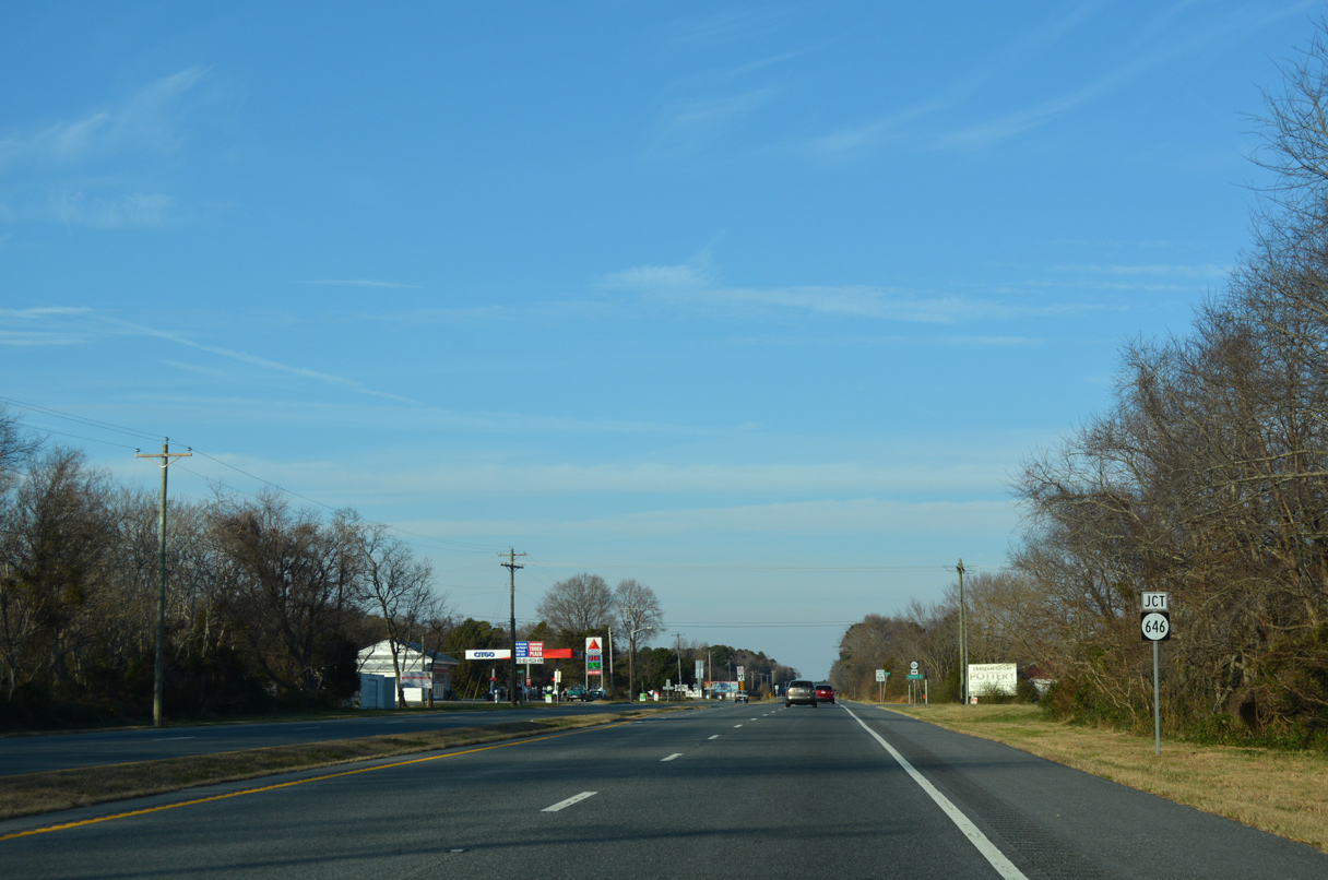
SR 646 (Townsend Drive) stems 0.56 miles west from SR 600 (Seaside Road) at Townsend to U.S. 13.
12/14/17
12/14/17
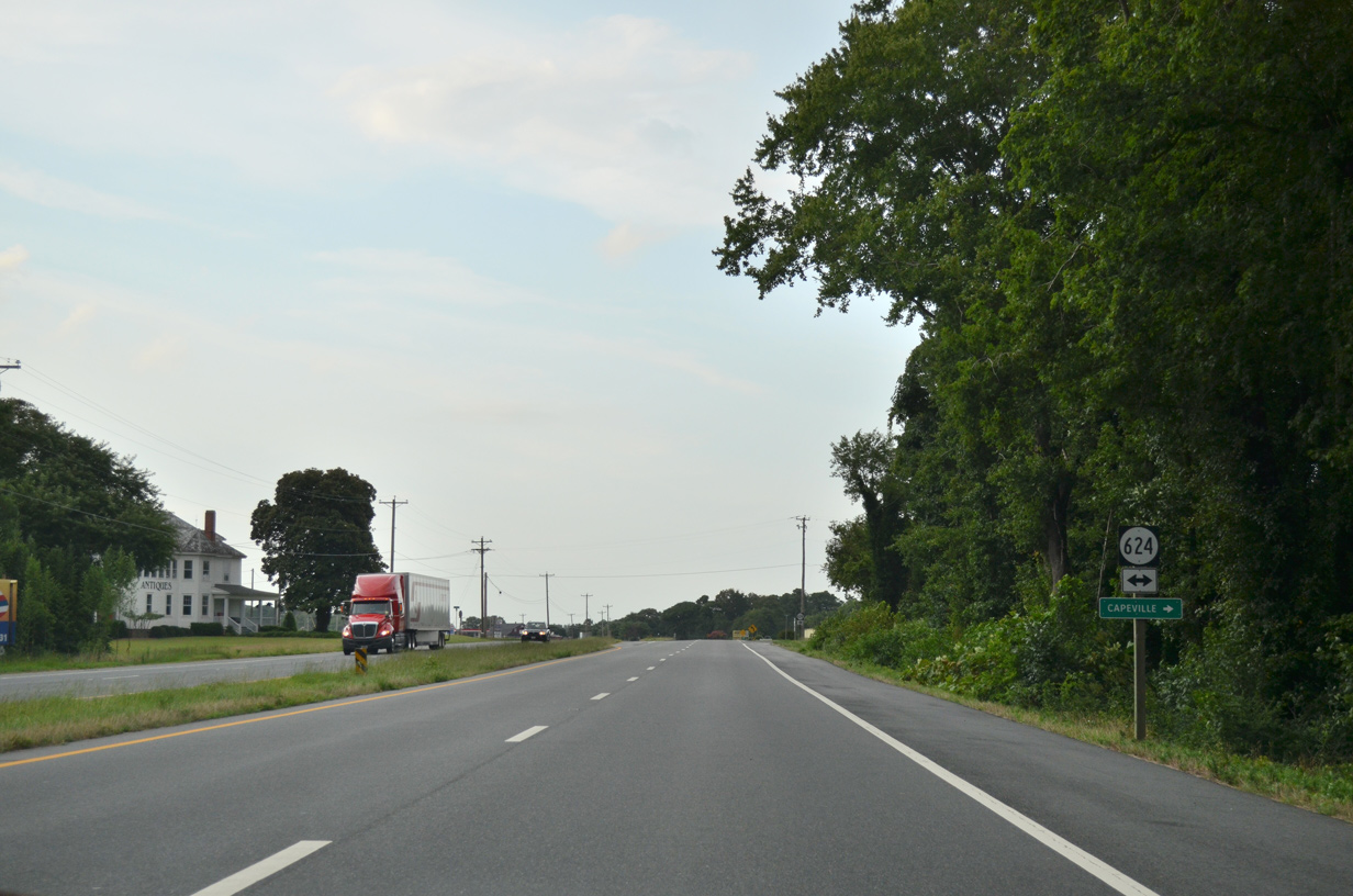
SR 624 (Siding Road) links U.S. 13 with SR 600 (Seaside Road), 0.45 miles to the east at Capeville.
07/28/13
07/28/13
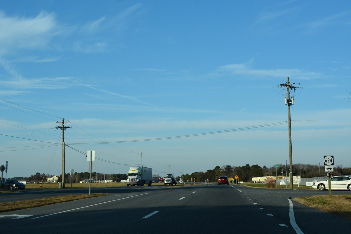
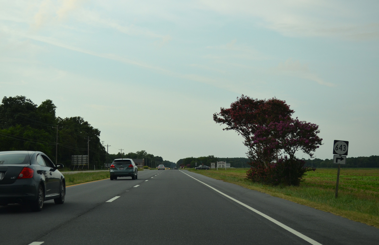
SR 624 continues 1.30 miles west from U.S. 13 along Capeville Drive to SR 645 (Arlington Road) near Cheapside.
12/14/17
12/14/17
07/28/13
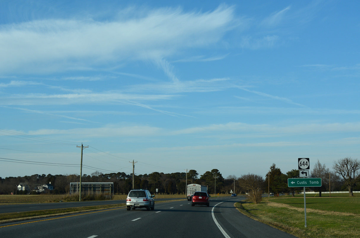
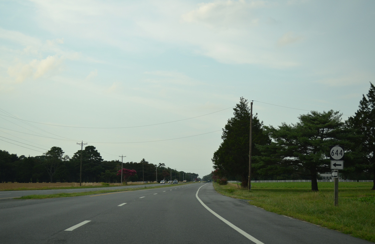
SR 644 (Arlington Road) spurs west from U.S. 13 to Arlington and the Tomb of Custis along Old Plantation Creek.
12/14/17
12/14/17
07/28/13

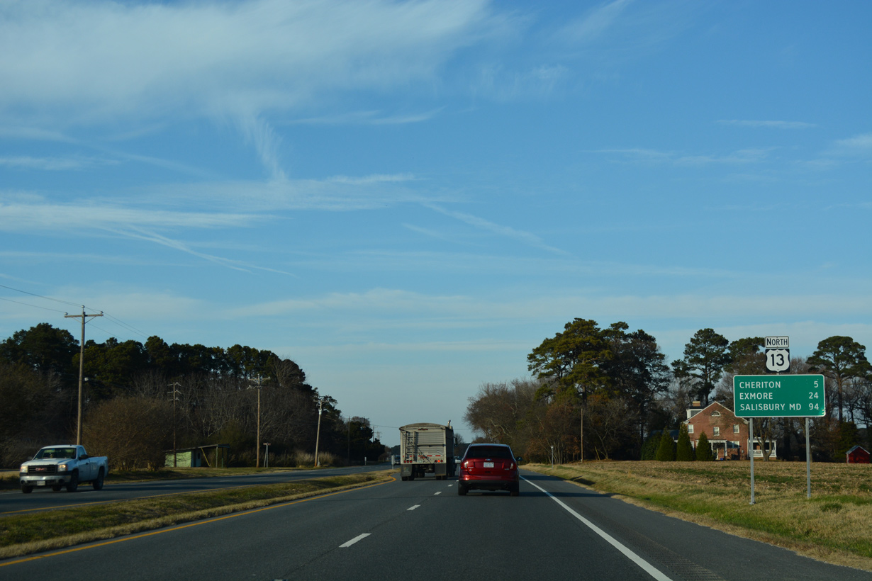
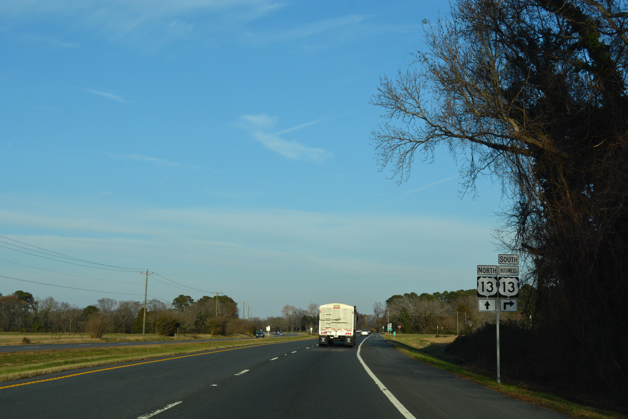
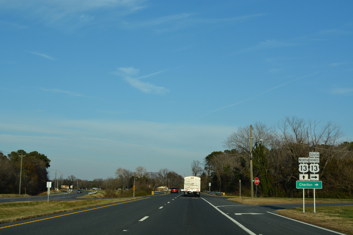
Continuing north from Dalbys, U.S. 13 reaches U.S. 13 Business to Cheriton in five miles.
12/17/01
12/17/01
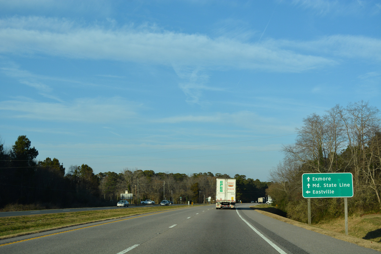
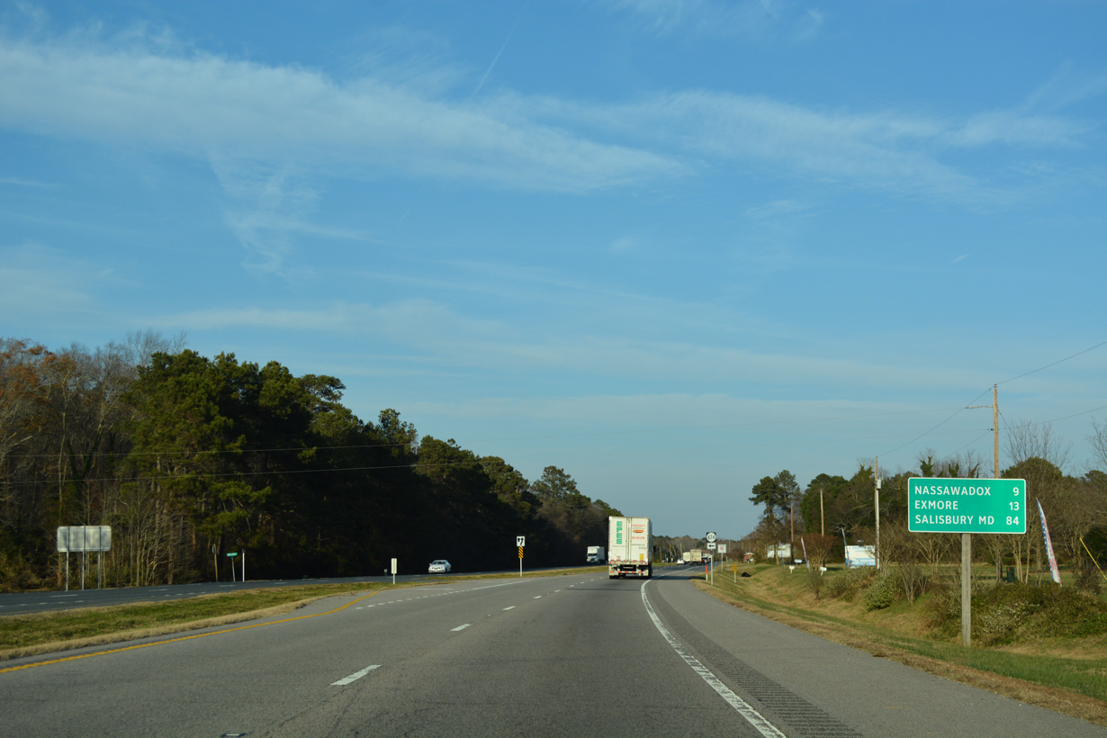
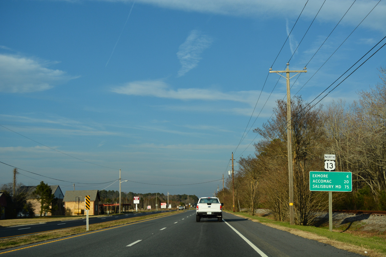
A third business route for U.S. 13 separates for the town of Exmore, located 24 miles north of Longs Lane near Dalbys.
12/14/17
12/14/17
07/28/13
12/14/17
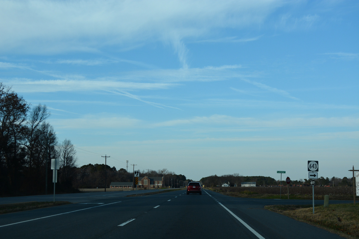
SR 642 (Parsons Circle) crosses U.S. 13 west 0.30 miles from SR 684 (Bayview Circle) / old SR 186 at Fairview.
12/14/17
12/14/17
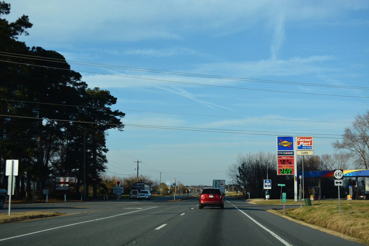
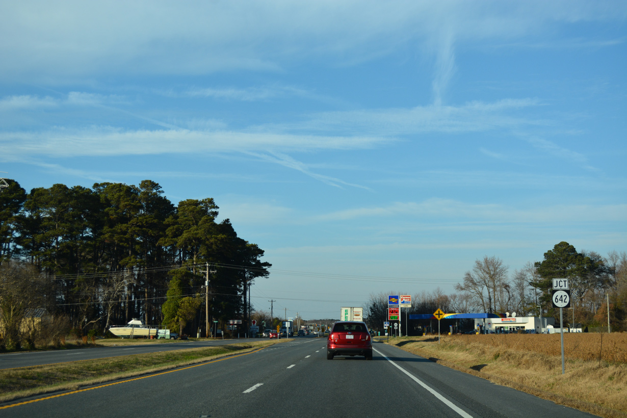
SR 642 continues west from U.S. 13 along Old Cape Charles Road 2.46 miles to SR 184 (Mason Avenue) in the town of Cape Charles.
12/14/17
12/14/17
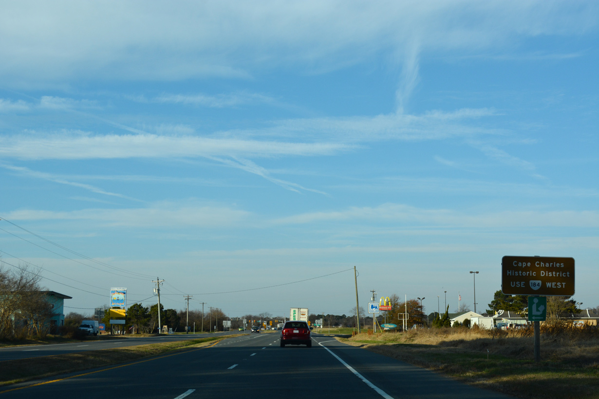
SR 184 (Stone Road) follows the historic alignment of U.S. 13 west onto Mason Avenue south of the Cape Charles Historic District.
12/14/17
12/14/17
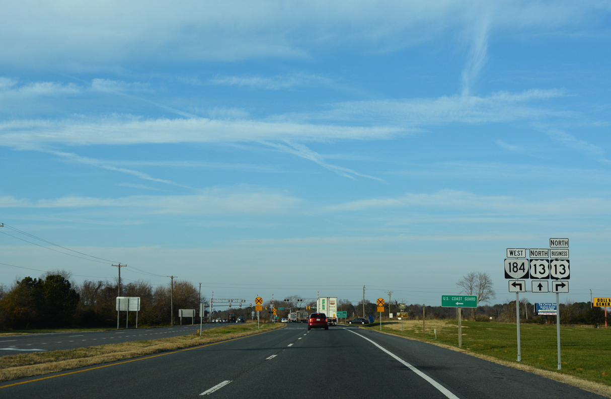
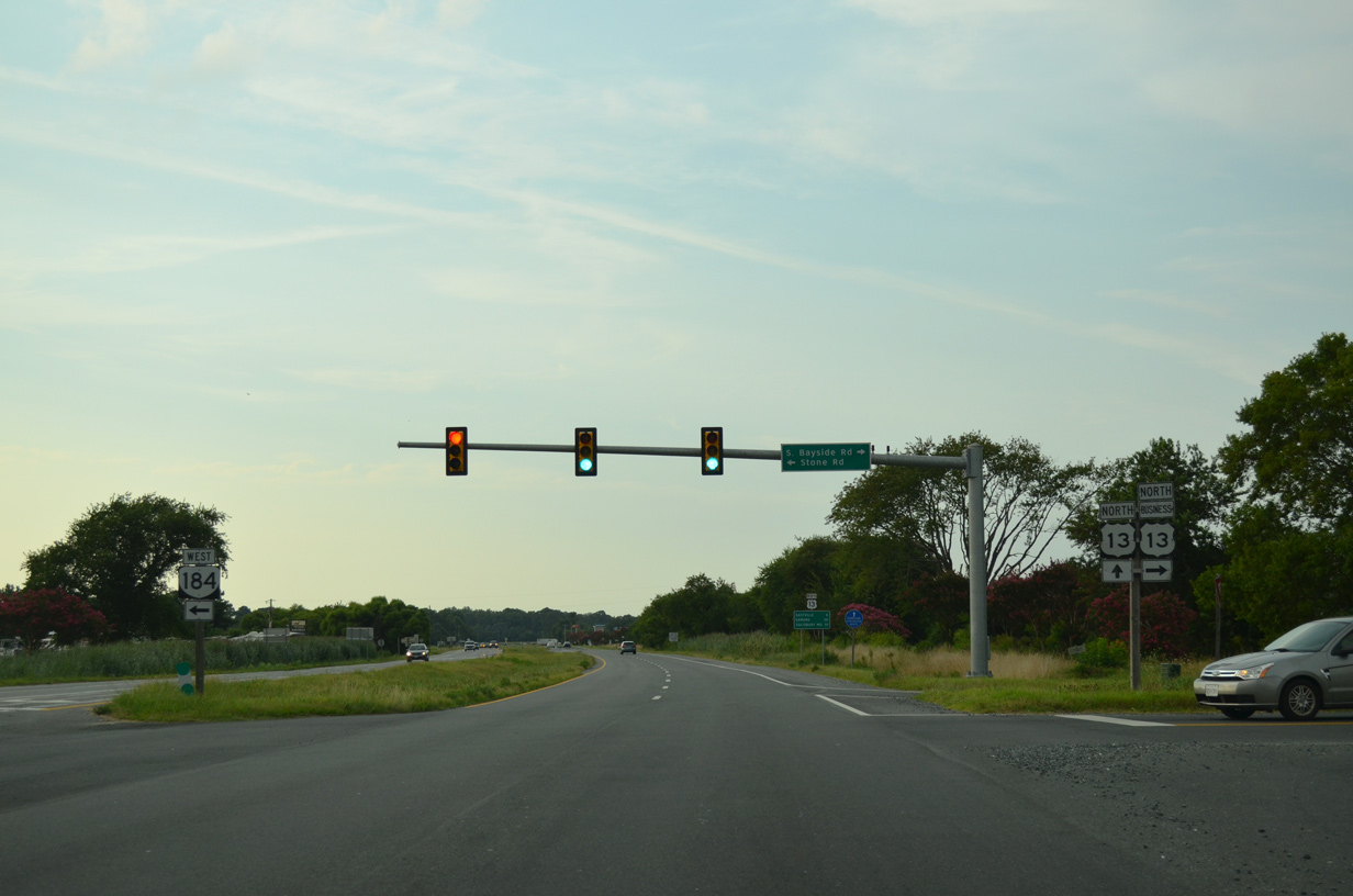
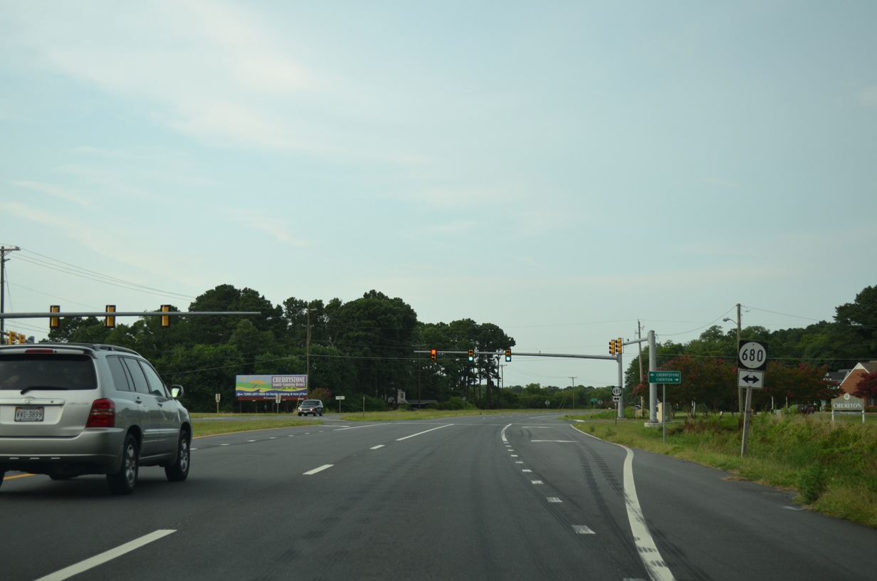
U.S. 13 Business extends north along S Bayside Road from U.S. 13 (Lankford Highway) and SR 184 (Stone Road) into the town of Cheriton.
12/14/17
12/14/17
12/14/17
Removed shield assemblies on U.S. 13 (Lankford Highway) north at U.S. 13 Business/SR 184. SR 184 measures 3.20 miles in length west to Bay Avenue at Washington Avenue along Cherrystone Channel on Chesapeake Bay.
07/28/13
07/28/13

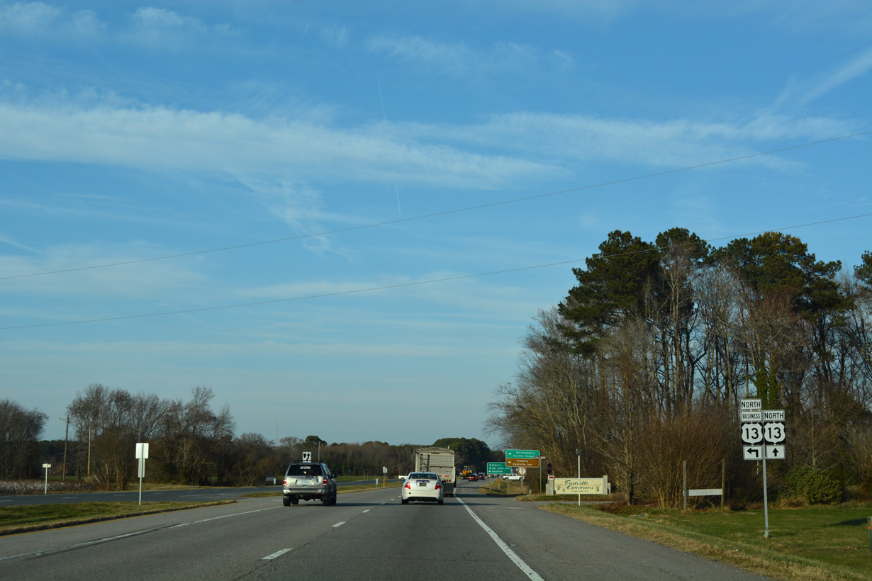
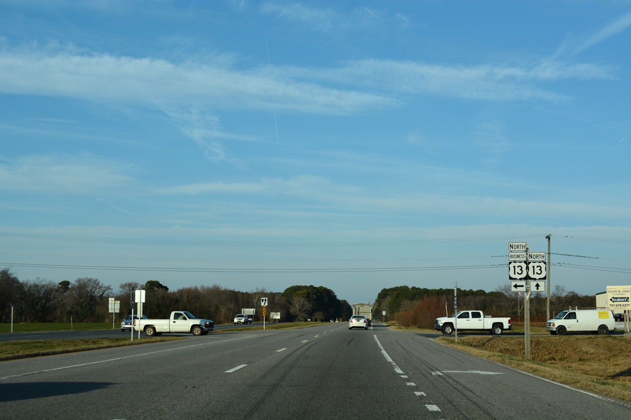
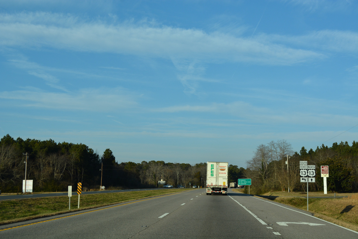
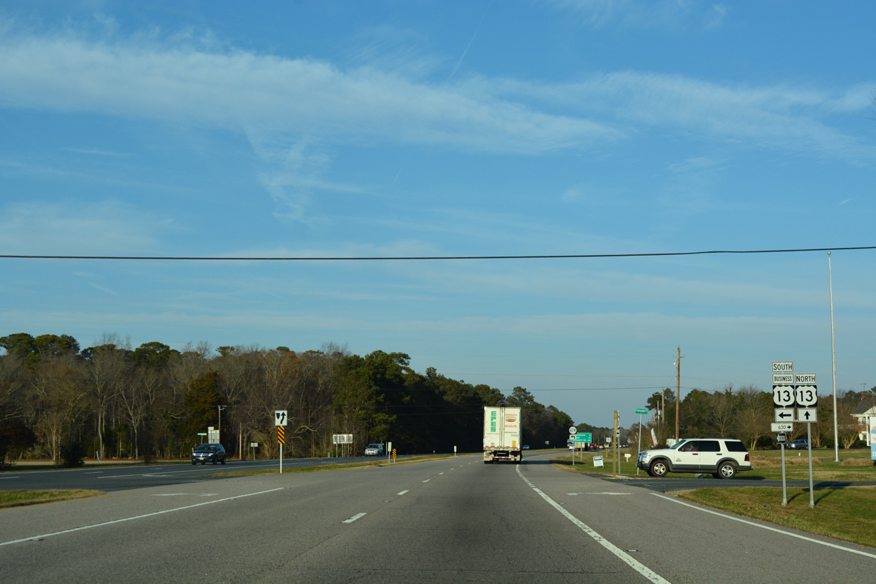
The town of Eastville, served by another business route for U.S. 13, lies six miles north from SR 184 (Stone Road).
07/28/13
07/28/13
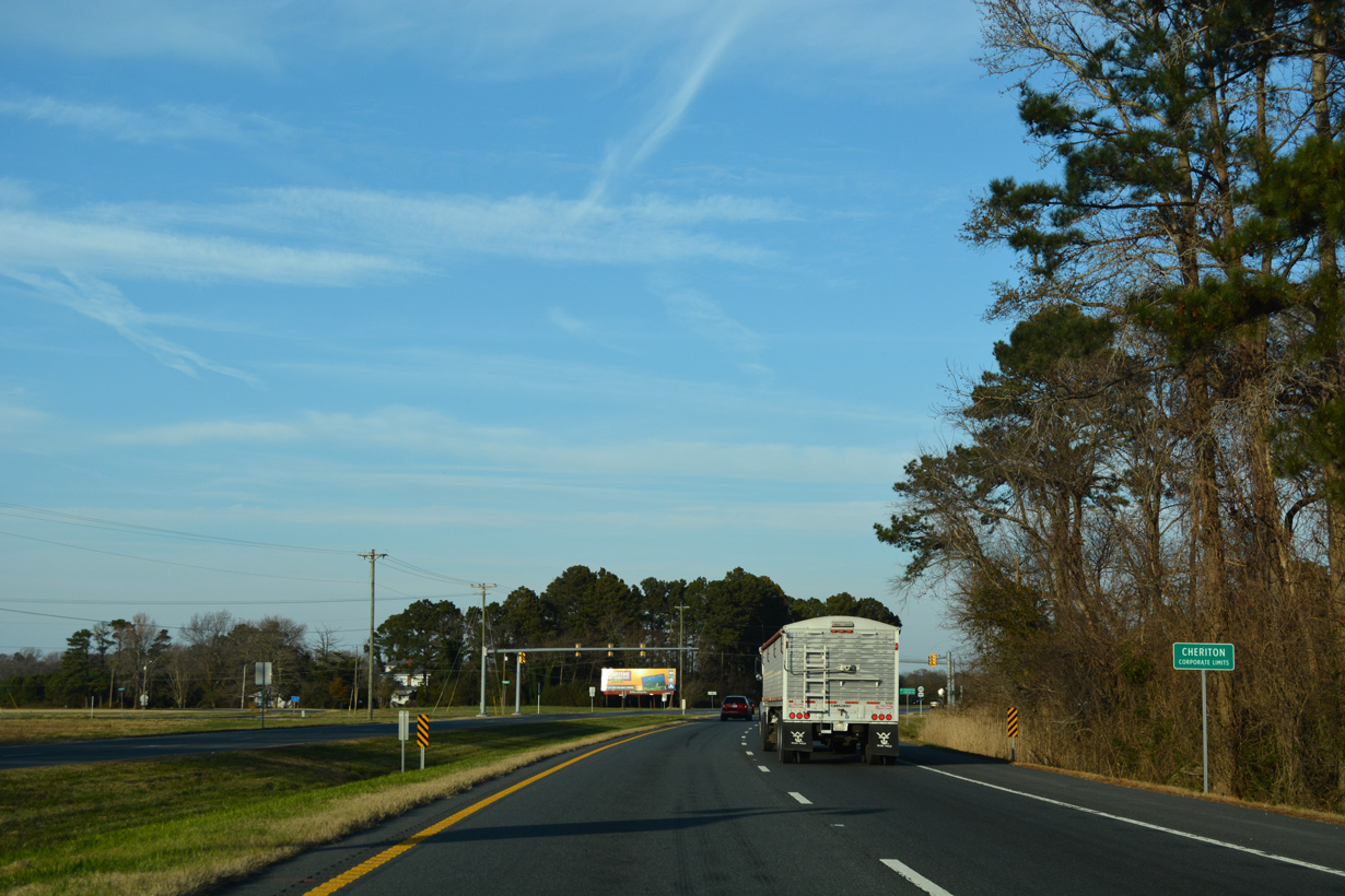
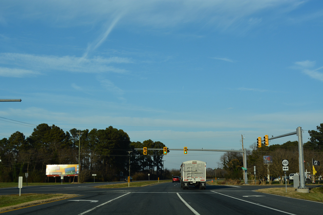
U.S. 13 (Lankford Highway) runs along the west side of the Cheriton town limits.
12/14/17
12/14/17
07/28/13
12/14/17
Concluding a 1.59 mile long loop, U.S. 13 Business returns from Cheriton along N Bayside Road.
12/14/17
12/14/17
12/14/17
12/14/17
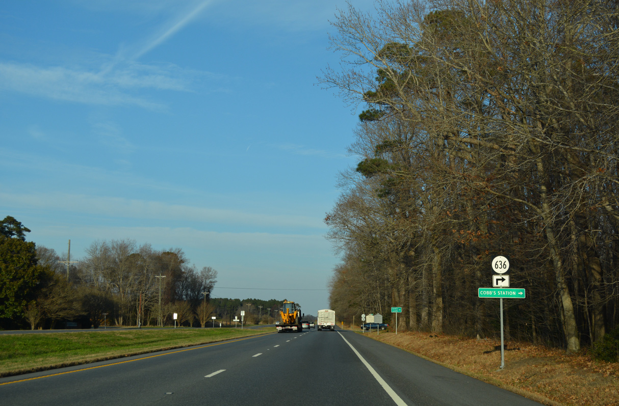
SR 636 (Mount Hebron Road) leads 1.60 miles east to SR 600 (Seaside Road).
12/14/17
12/14/17
U.S. 13 Business to Eastville constitutes a 2.71 mile long route along Courthouse Road.
12/14/17
12/14/17
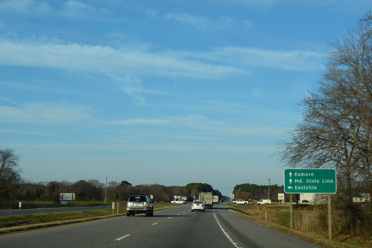
Eastville is the seat of Northampton County.
12/14/17
12/14/17
12/14/17
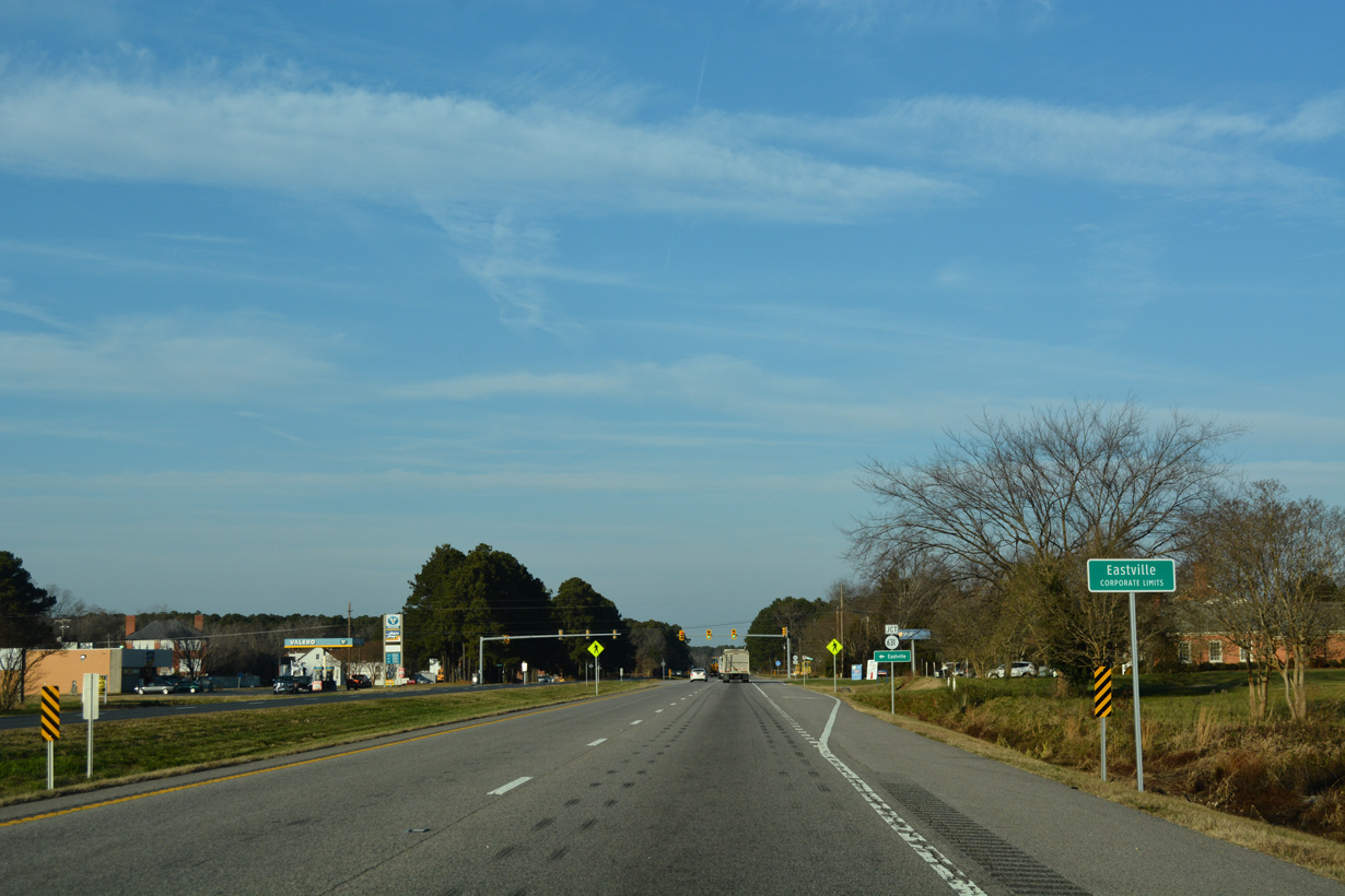
12/14/17
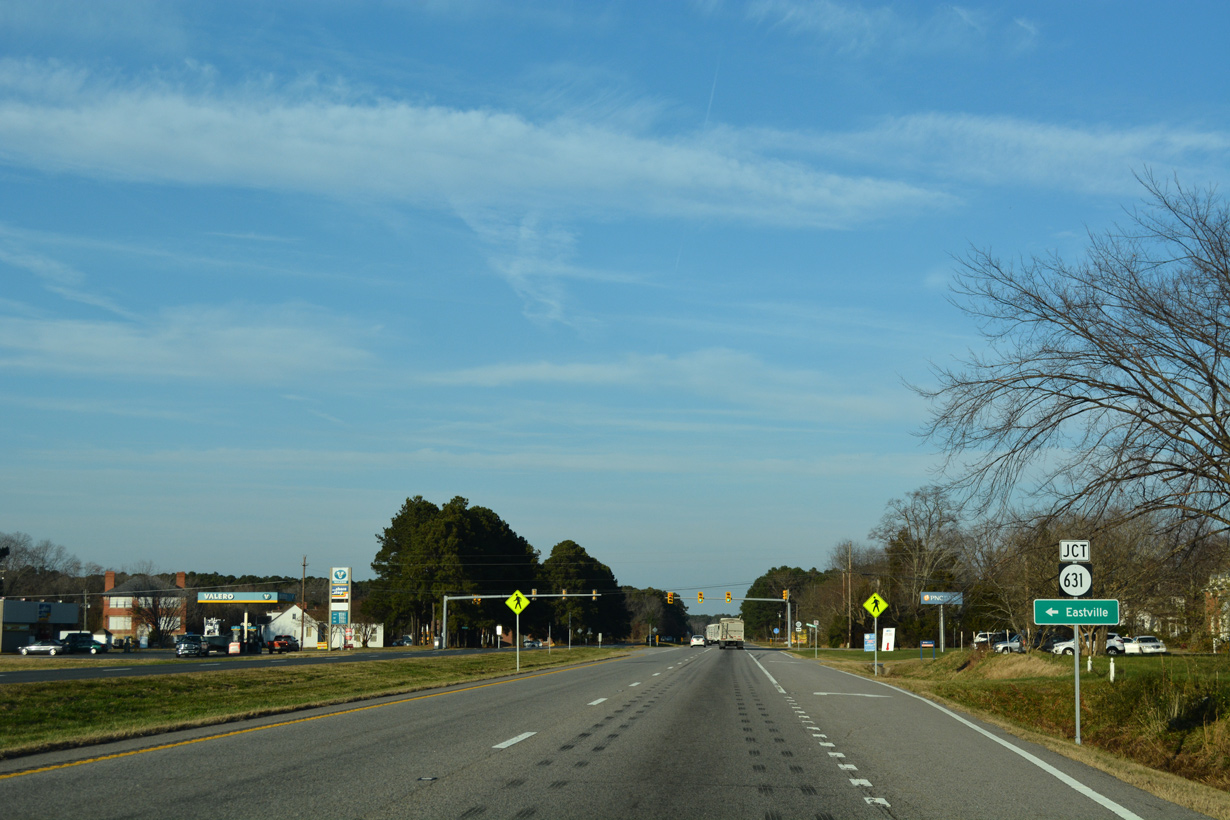
SR 631 (Willow Oak Road) is a 1.30 mile long route from U.S. 13 Business in Eastville to SR 600 (Seaside Road) beyond Eastville Station.
12/14/17
12/14/17
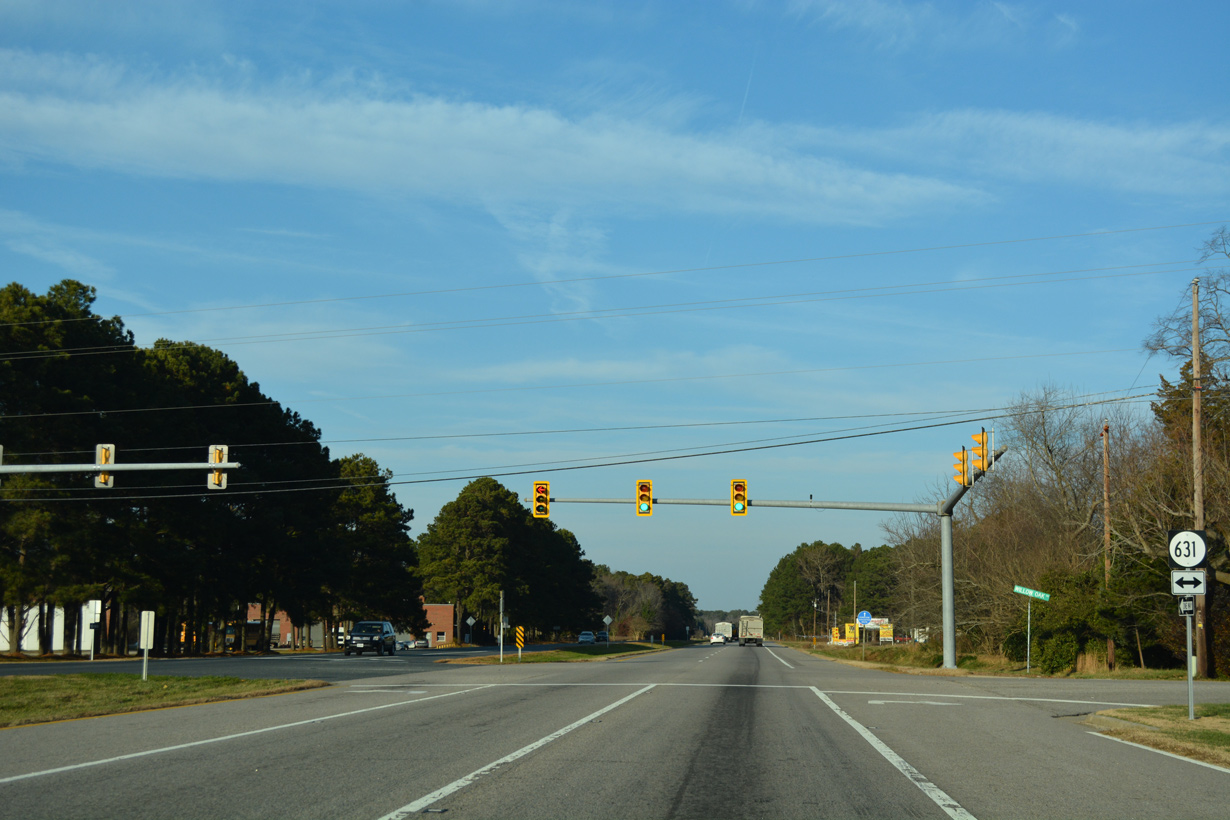
12/14/17
U.S. 13 Business (Courthouse Road) returns to U.S. 13 (Lankford Highway) east from James Crossroads at Kendall Grove.
12/14/17
12/14/17
12/14/17
SR 630 extends east from U.S. 13/13 Business along Cherrydale Drive 1.21 miles to SR 600 (Seaside Road).
12/14/17
12/14/17
12/14/17
12/14/17
07/28/13
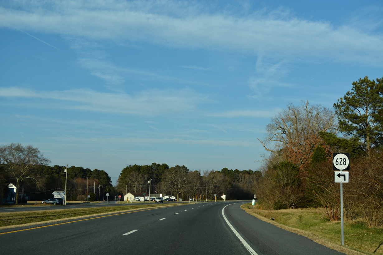
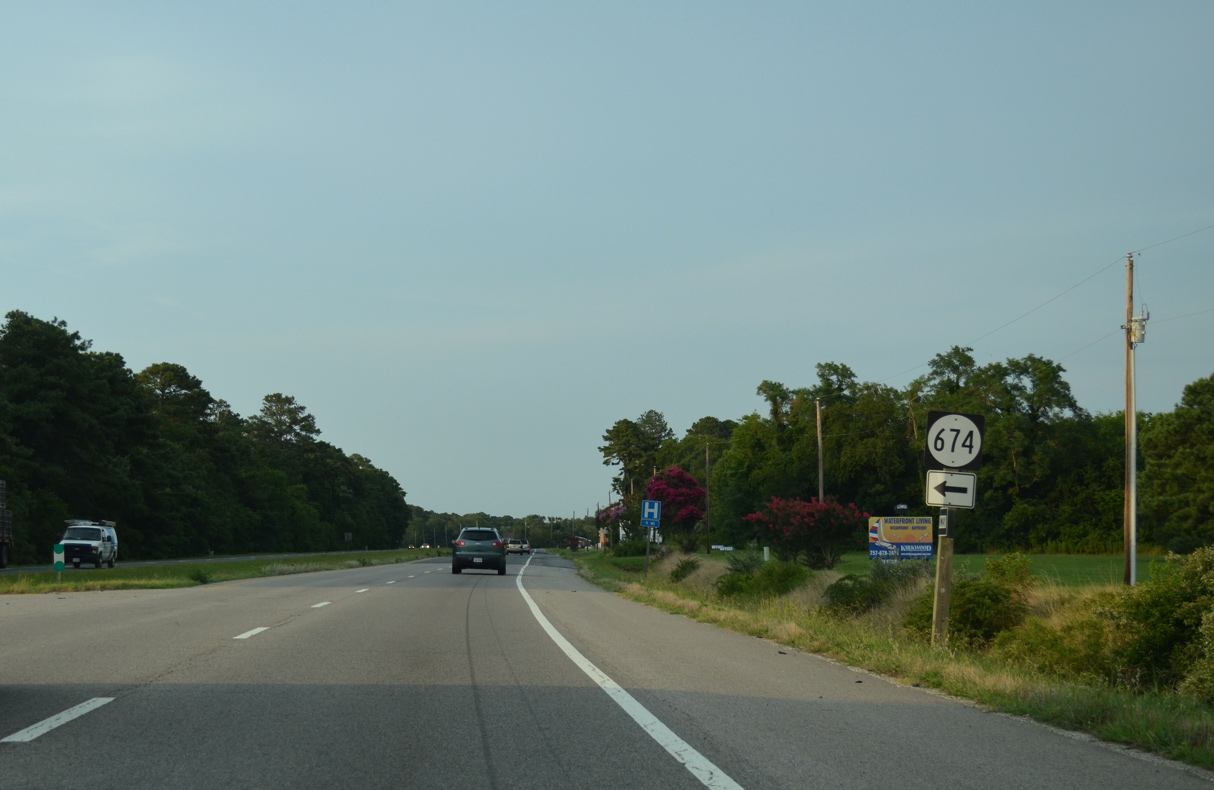
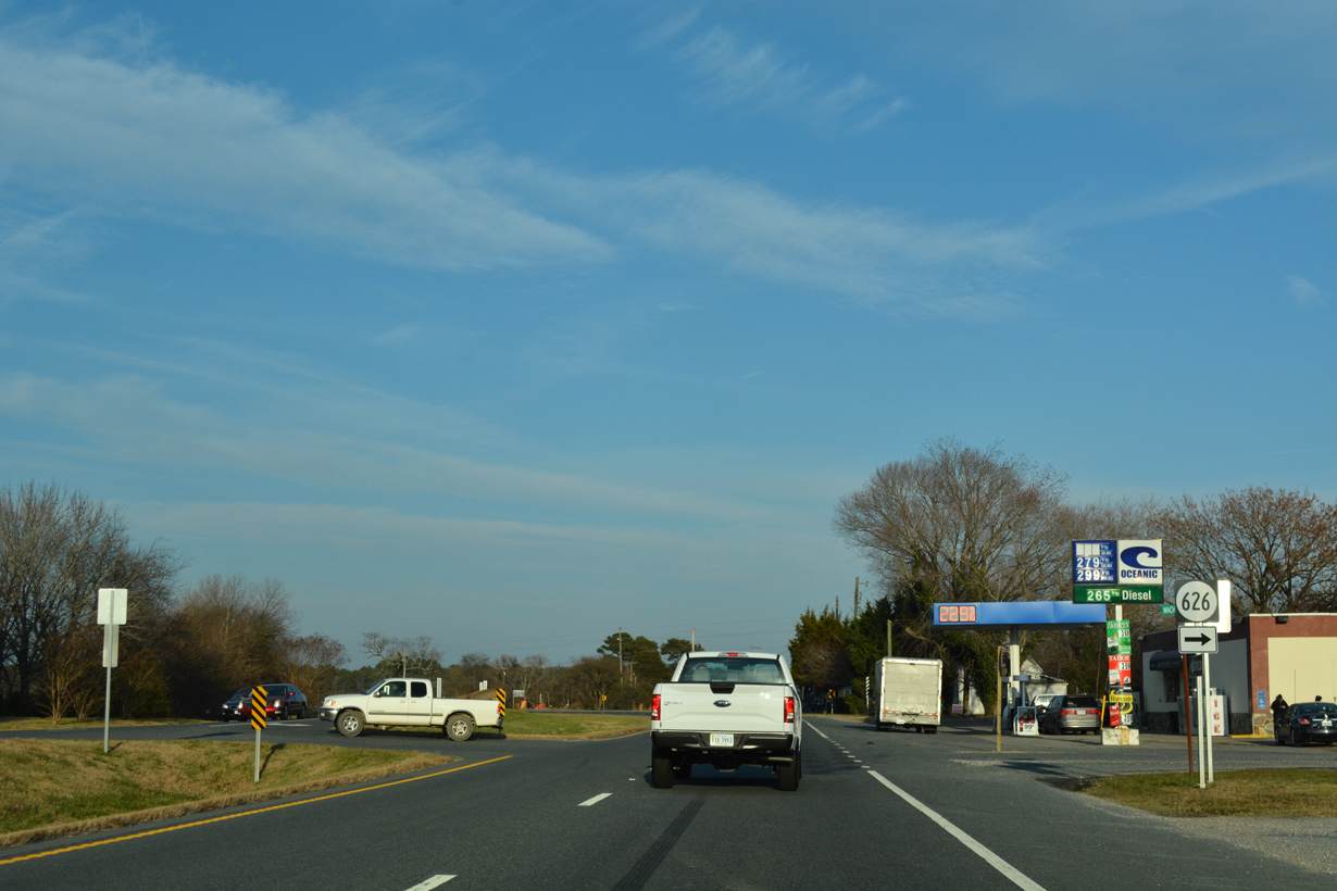
SR 628 (Bayside Road) spurs west onto Wilsonia Neck. SR 618 branches north from nearby along the former alignment of SR 184 to Johnsontown.
12/14/17
12/14/17
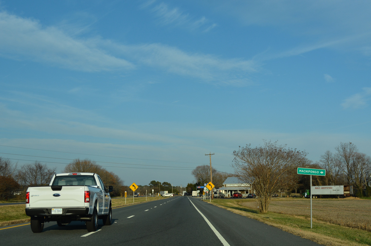
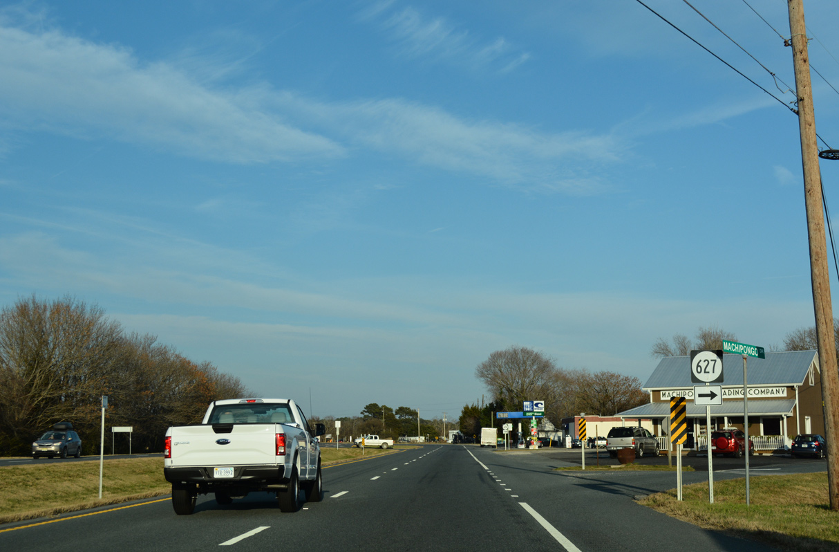
U.S. 13 meets SR 627 (Machipongo Drive) at the community of Machipongo.
12/14/17
12/14/17
12/14/17
12/14/17
12/14/17
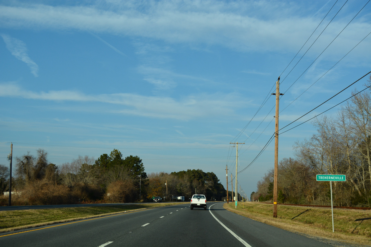
U.S. 13 enters the unincorporated community of Treherneville at mile marker 91.
12/14/17
12/14/17
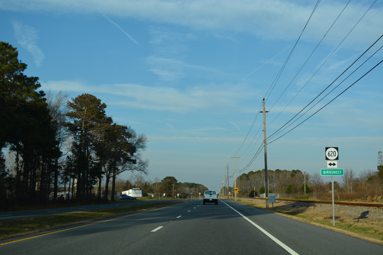
Birdsnest lies at the crossroads of U.S. 13 at SR 620 (Birdsnest Drive).
12/14/17
12/14/17
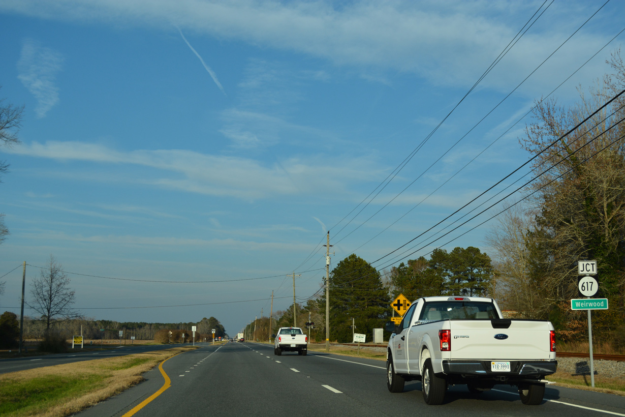
U.S. 13 continues north to SR 617 (Bayford Road) at the community of Weirwood.
12/14/17
12/14/17
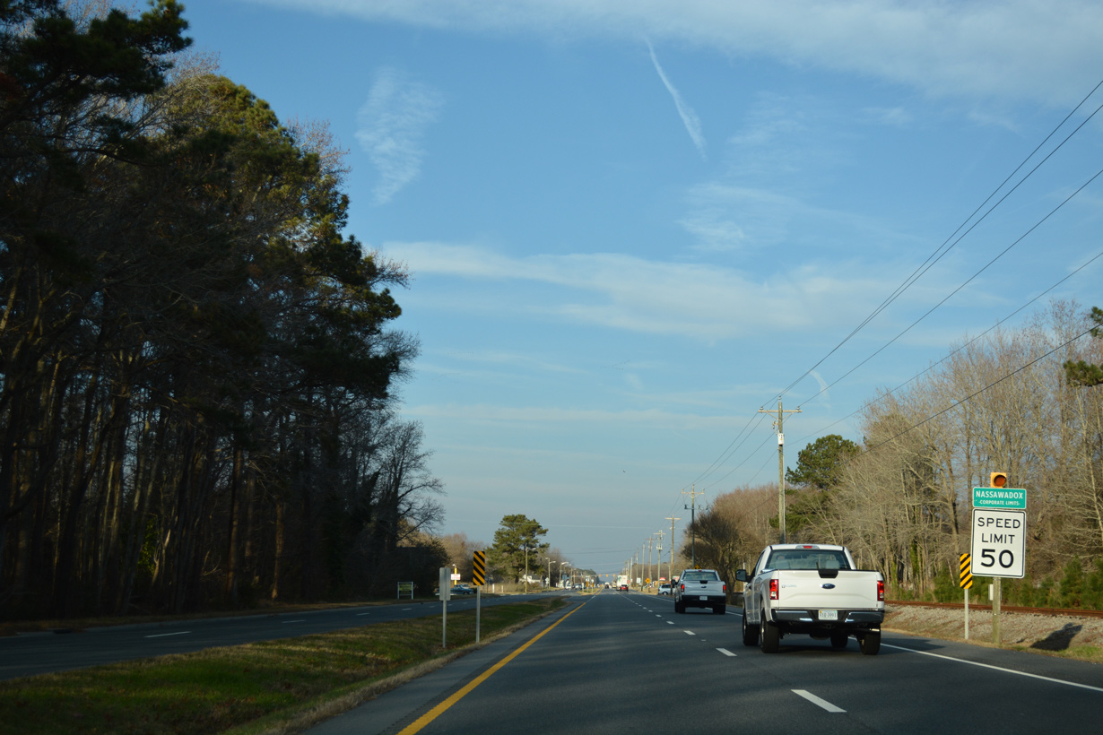
North from Weirwood, U.S. 13 enters the town of Nassawadox, the "Land Between Two Waters".
12/14/17
12/14/17
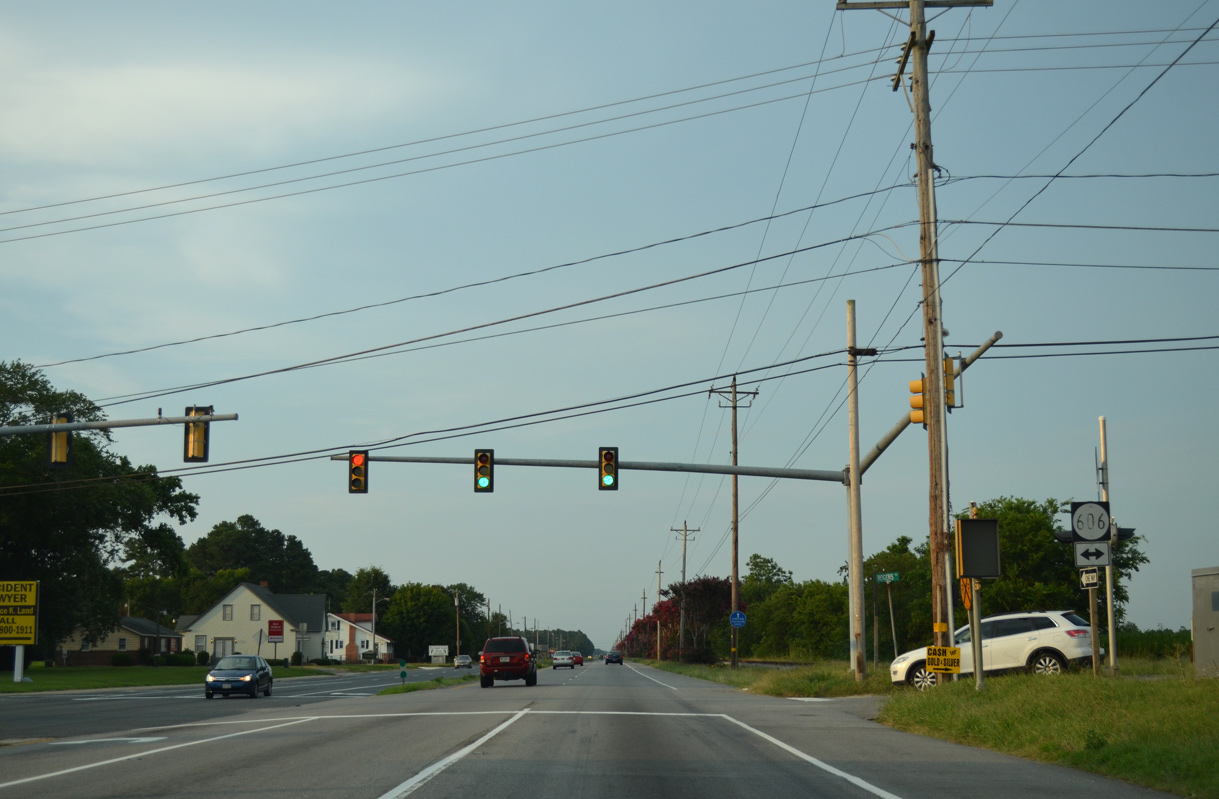
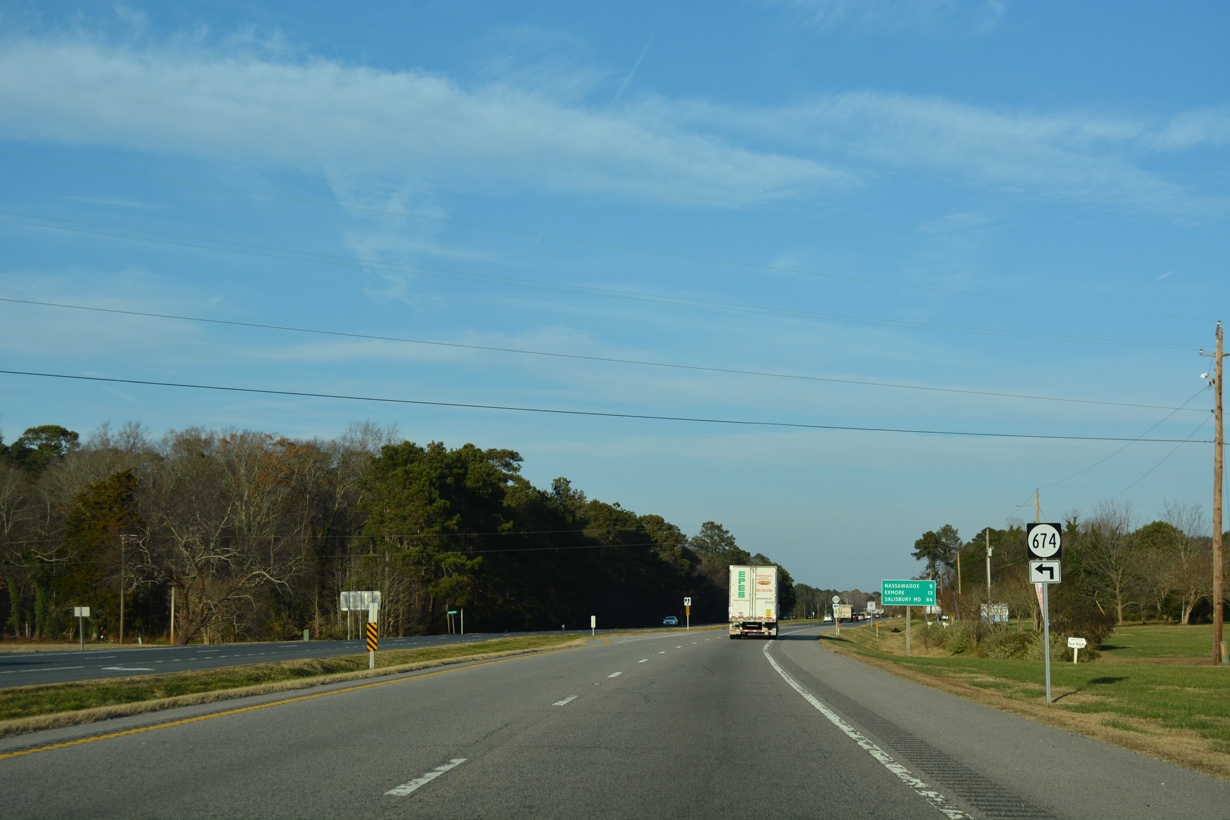
SR 606 (Rogers Drive) links U.S. 13 with SR 600 (Seaside road) 0.20 miles to the east and SR 618 (Bayside Road) at Middletown, 0.77 miles to the northwest.
07/28/13
07/28/13
12/14/17
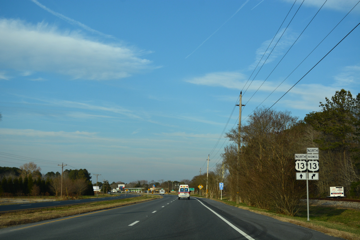
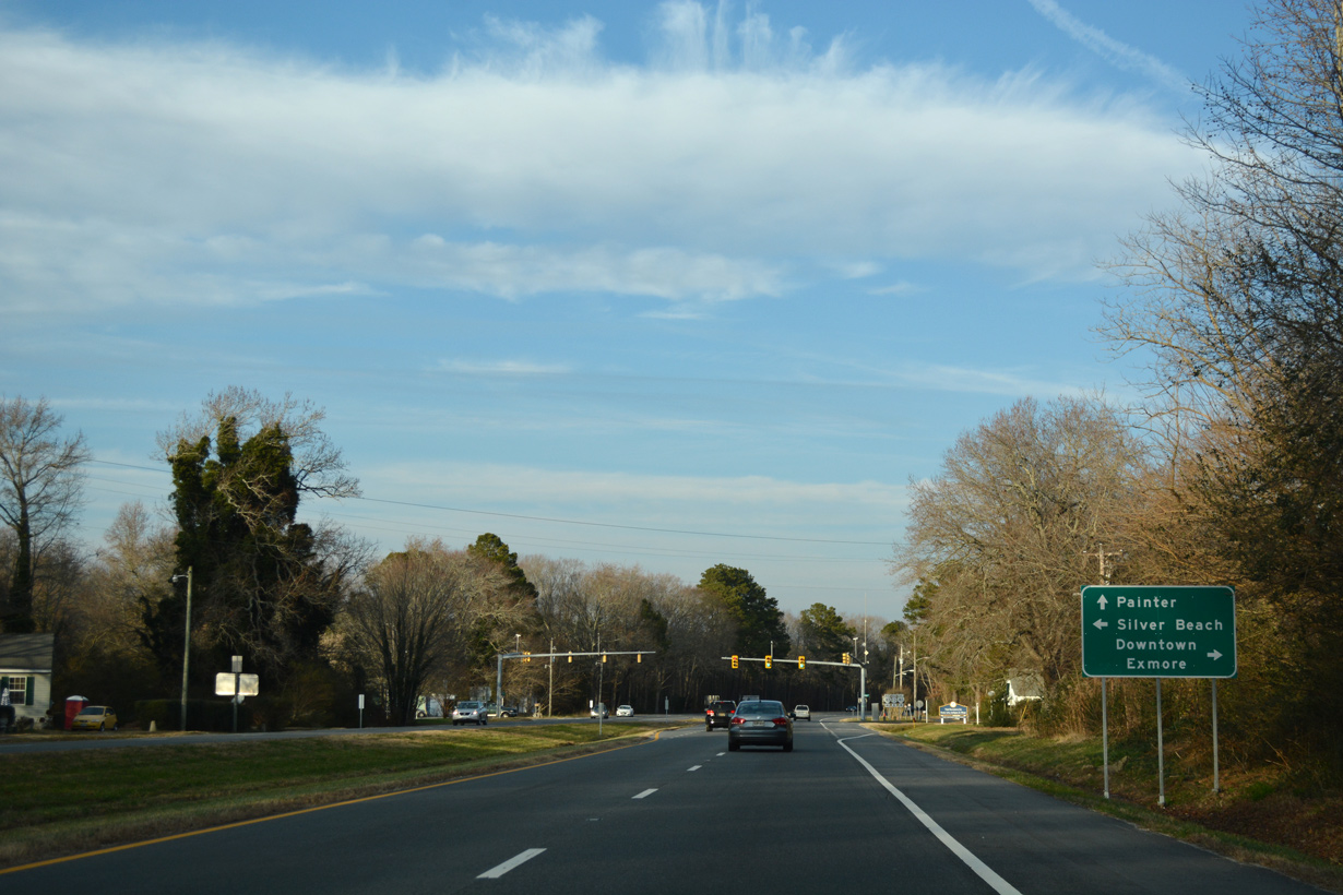
U.S. 13 Business (Main Street) to Exmore branches east from U.S. 13 at Hadlock.
12/14/17
12/14/17
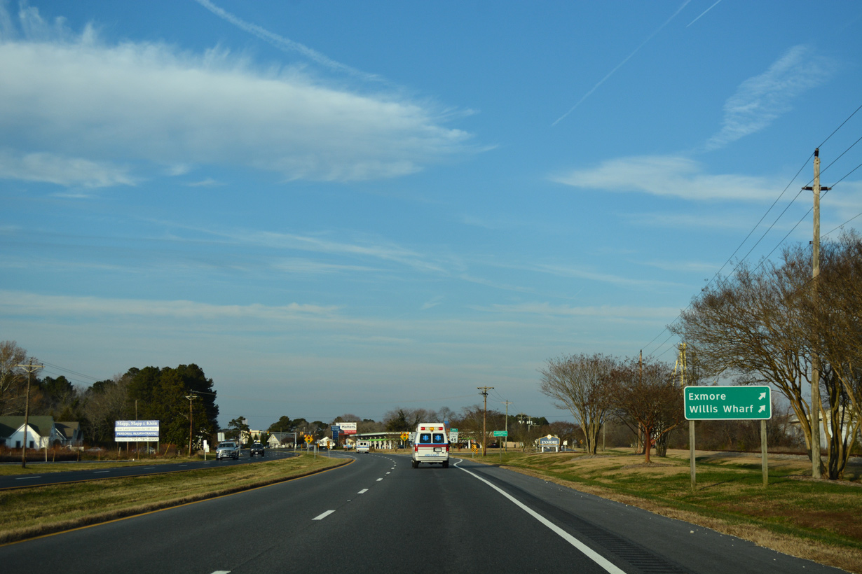
Willis Wharf is located along SR 603 (Willis Wharf Road) on Parting Creek southeast of Exmore.
12/14/17
12/14/17
12/14/17
U.S. 13 Business through Exmore follows Main Street and Lincoln Avenue along a 2.14 mile long course.
12/14/17
12/14/17
12/14/17
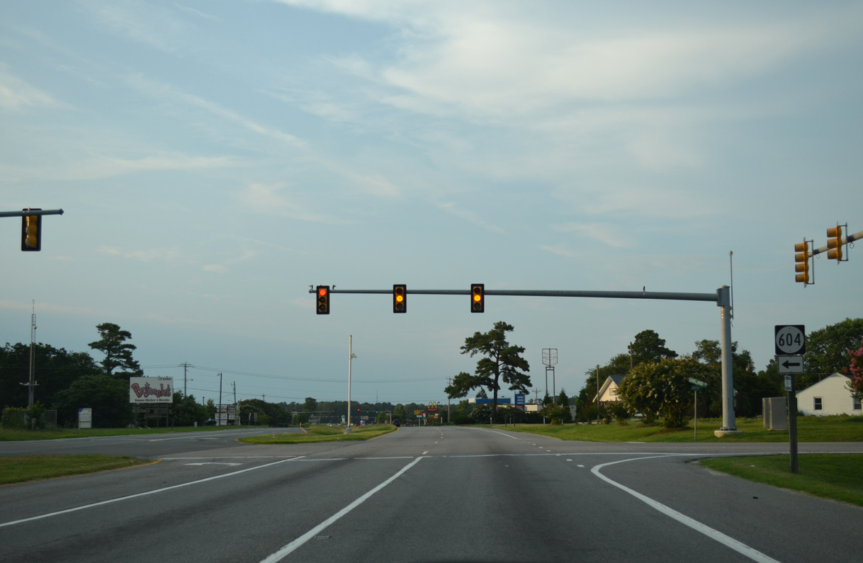
SR 604 (Oakland Drive) meets U.S. 13 between TB Crossroads and Oakland Park.
07/28/13
07/28/13
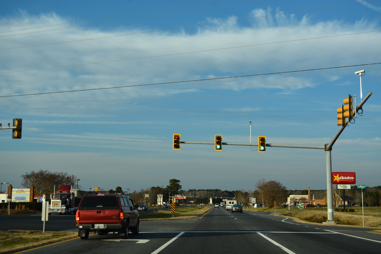
12/14/17
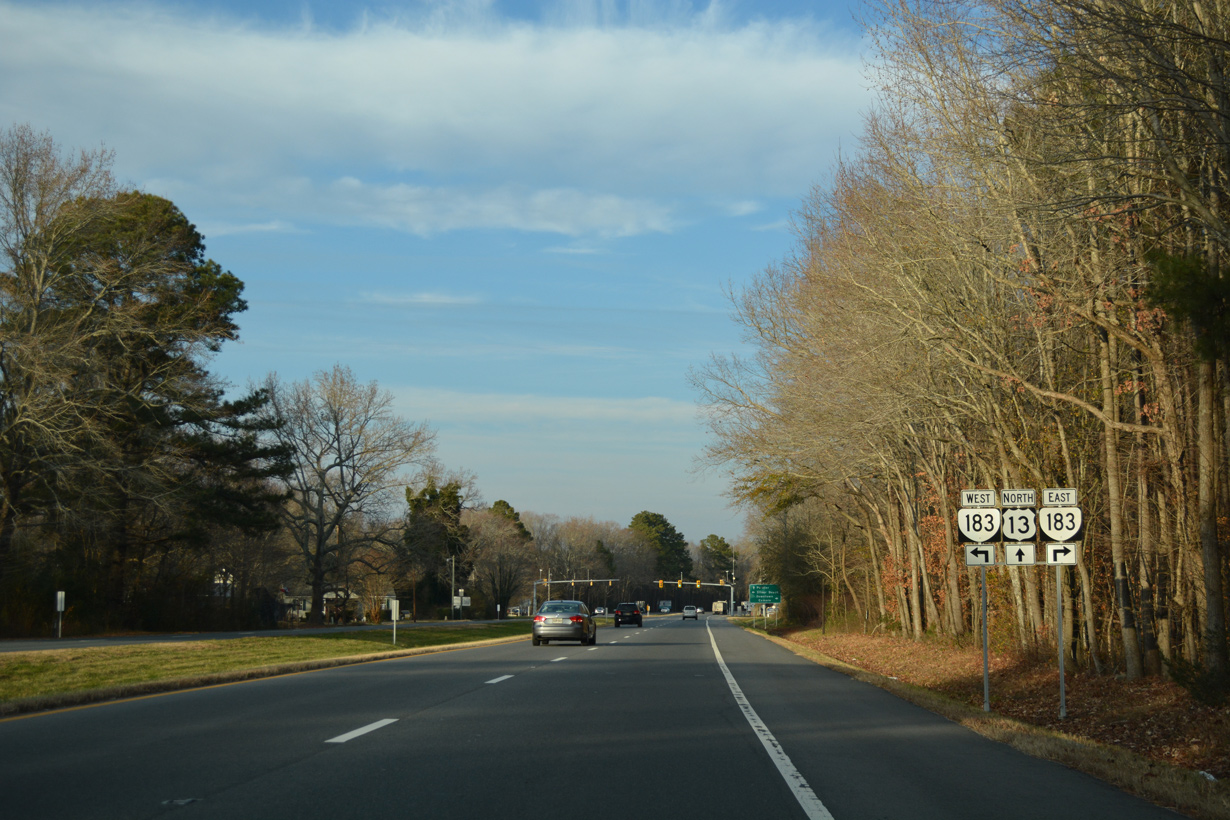
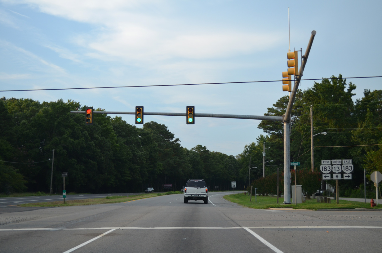
SR 183 (Occohannock Neck Road) spurs 7.45 miles west from U.S. 13 Business (Main Street) in Exmore to Wardtown and SR 613 at Jameville on Occohannock Neck.
12/14/17
12/14/17
Silver Beach lies at the end of SR 613 (Occohannock Neck Road), 9.59 miles to the southwest along Chesapeake Bay.
12/14/17
12/14/17
07/28/13
Main Street continues north from U.S. 13 Business (Lincoln Avenue) in Exmore along SR 178, 0.36 miles to U.S. 13 (Lankford Highway).
12/14/17
12/14/17
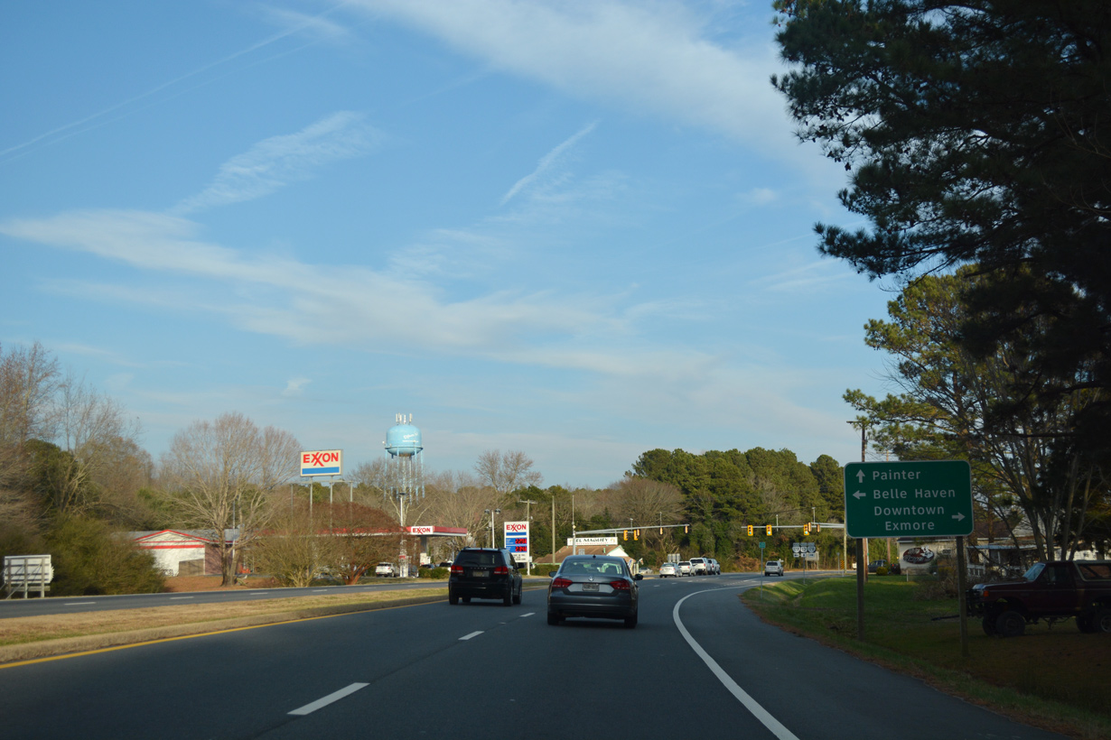
SR 178 (Belle Haven Road) continues 0.98 miles north from U.S. 13 to SR 181 (King Street) at Belle Haven.
12/14/17
12/14/17
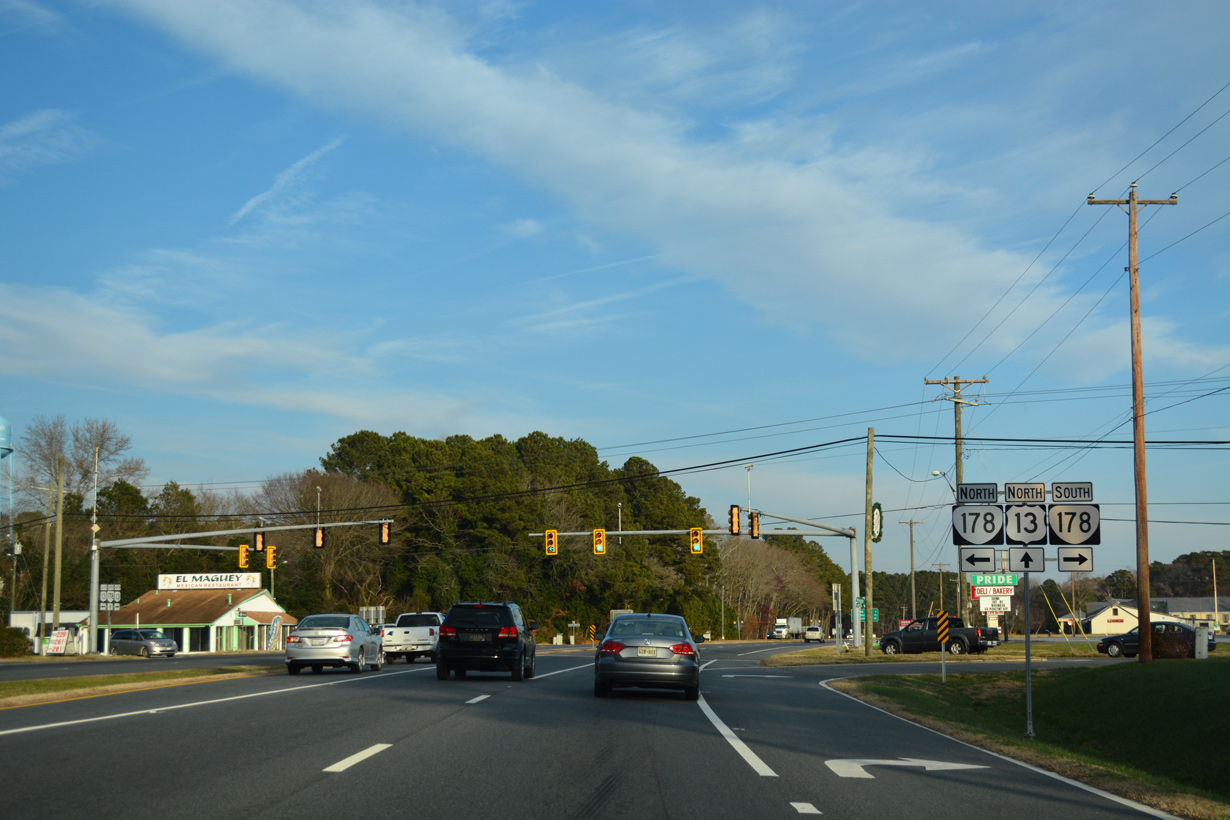
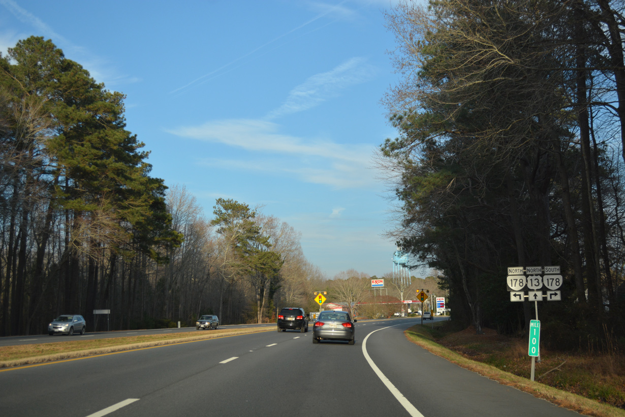
SR 178 travels 11.49 miles overall from Exmore north to Shields, Boston, Pennyville, Pungoteague and SR 620 (Hollies Church Road) at Bobtown.
12/14/17
12/14/17
12/14/17
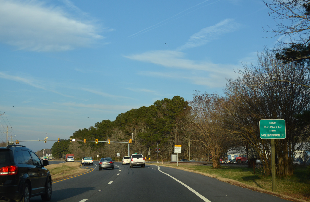
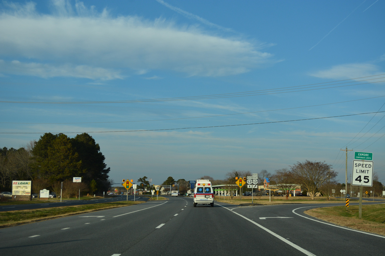
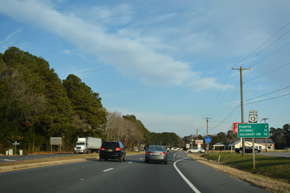
U.S. 13 crosses into Accomack County just beyond the north end of U.S. 13 Business (Lincoln Avenue) from Exmore.
12/14/17
12/14/17
Photo Credits:
- ABRoads: 12/14/17
- AARoads: 07/28/13
- Alex Nitzman: 12/17/01
Page Updated Monday April 19, 2021.