
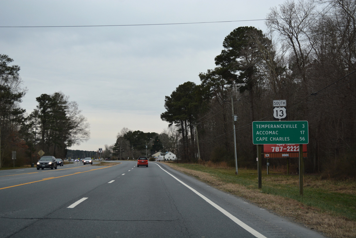
U.S. 13 South - Accomack County
 South
South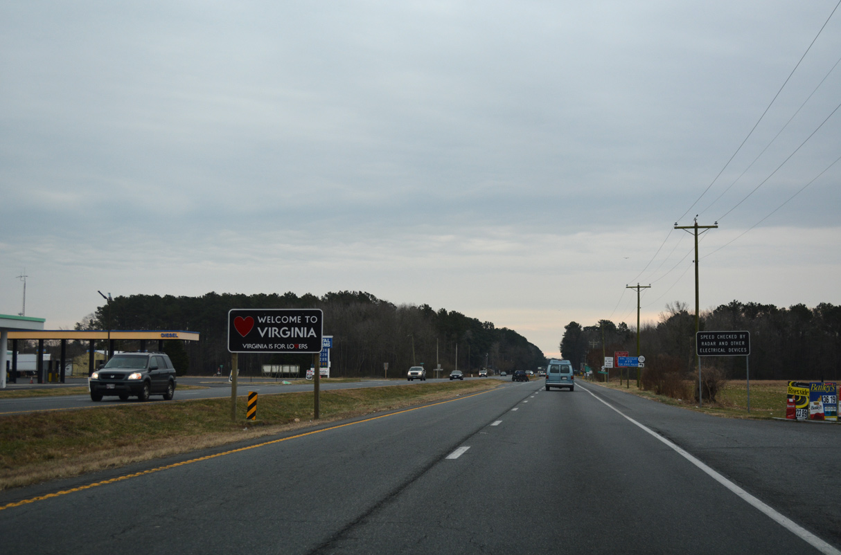
The Virginia welcome sign stands between the state line and SR 710 (Davis Road) south.
12/30/17
12/30/17
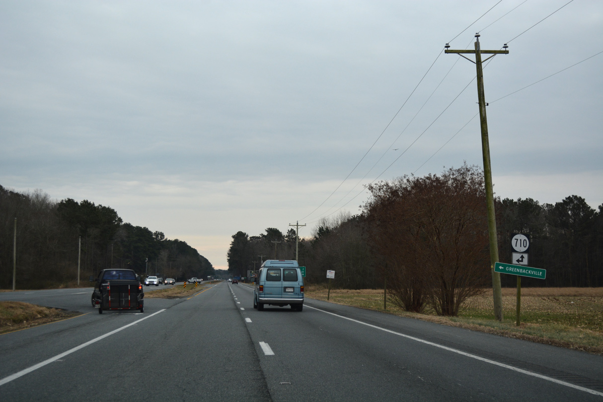
SR 710 comprises a rural loop east from U.S. 13 along Davis Road connecting with SR 712 (Sign Post Road) east toward Captains Cove and Greenbackville along Chincoteague Bay.
12/30/17
12/30/17
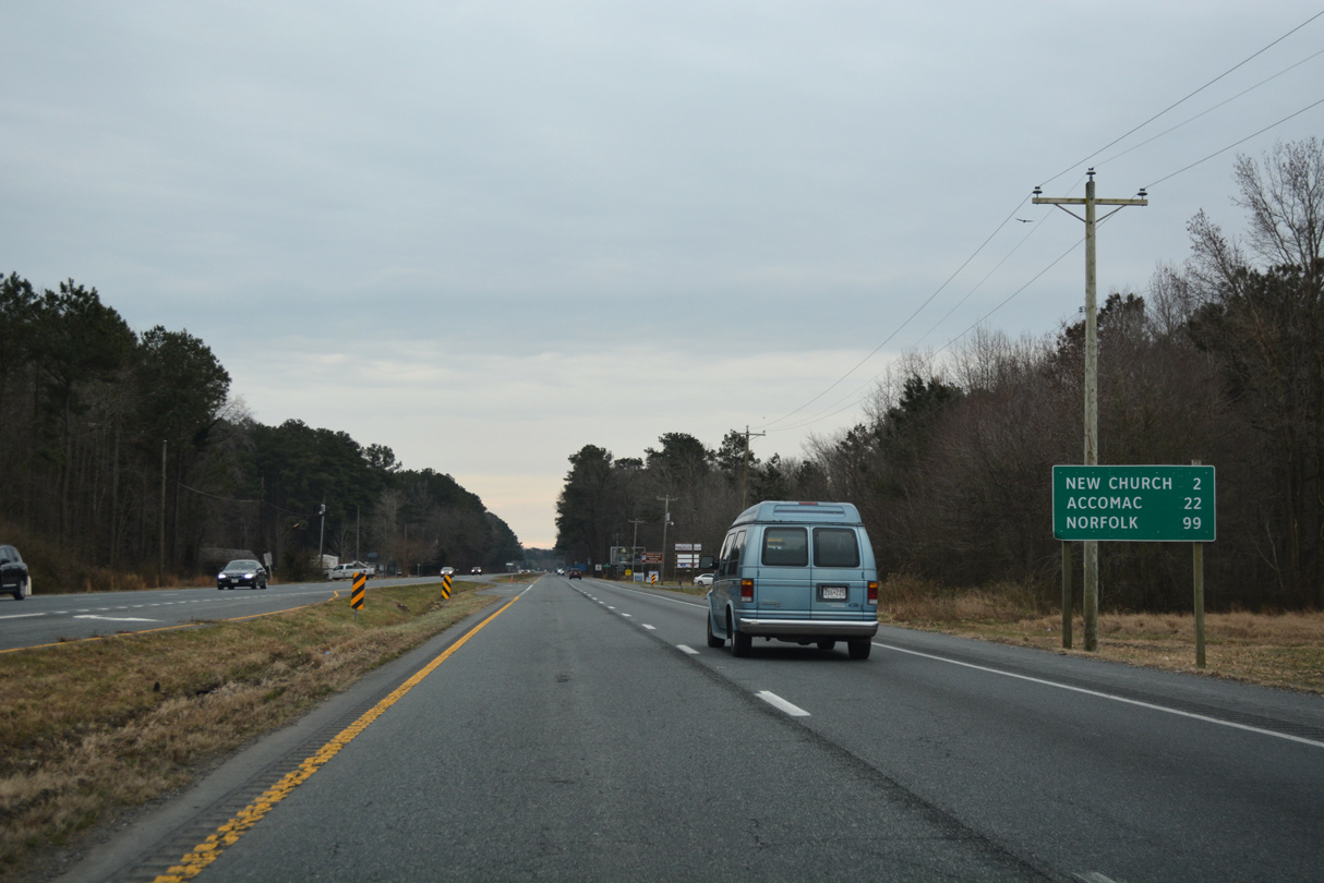
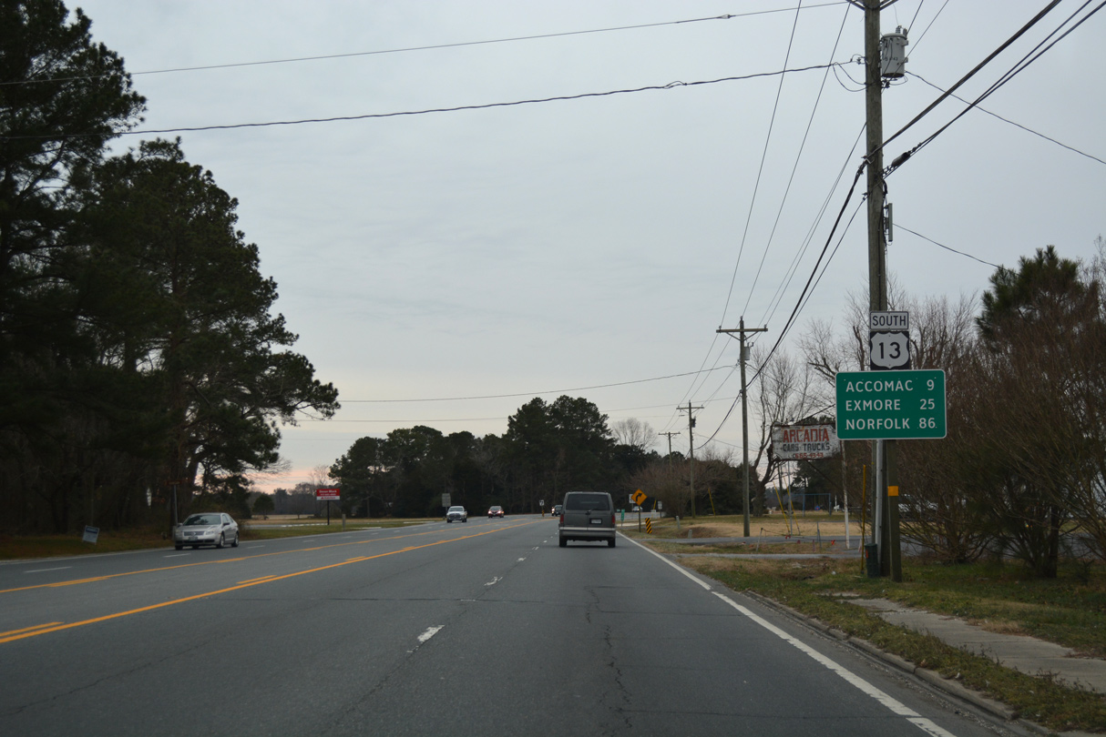
Norfolk lies 99 miles south of the Maryland border.
12/30/17
12/30/17
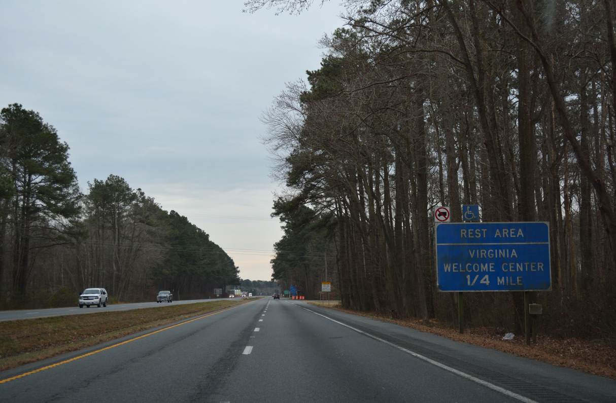
The New Church Safety Rest Area along U.S. 13 southbound houses a Virginia Welcome Center.
12/30/17
12/30/17
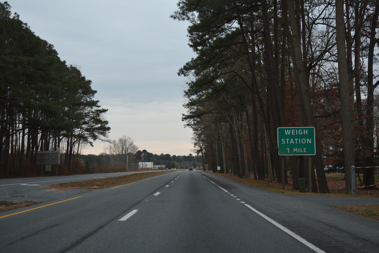
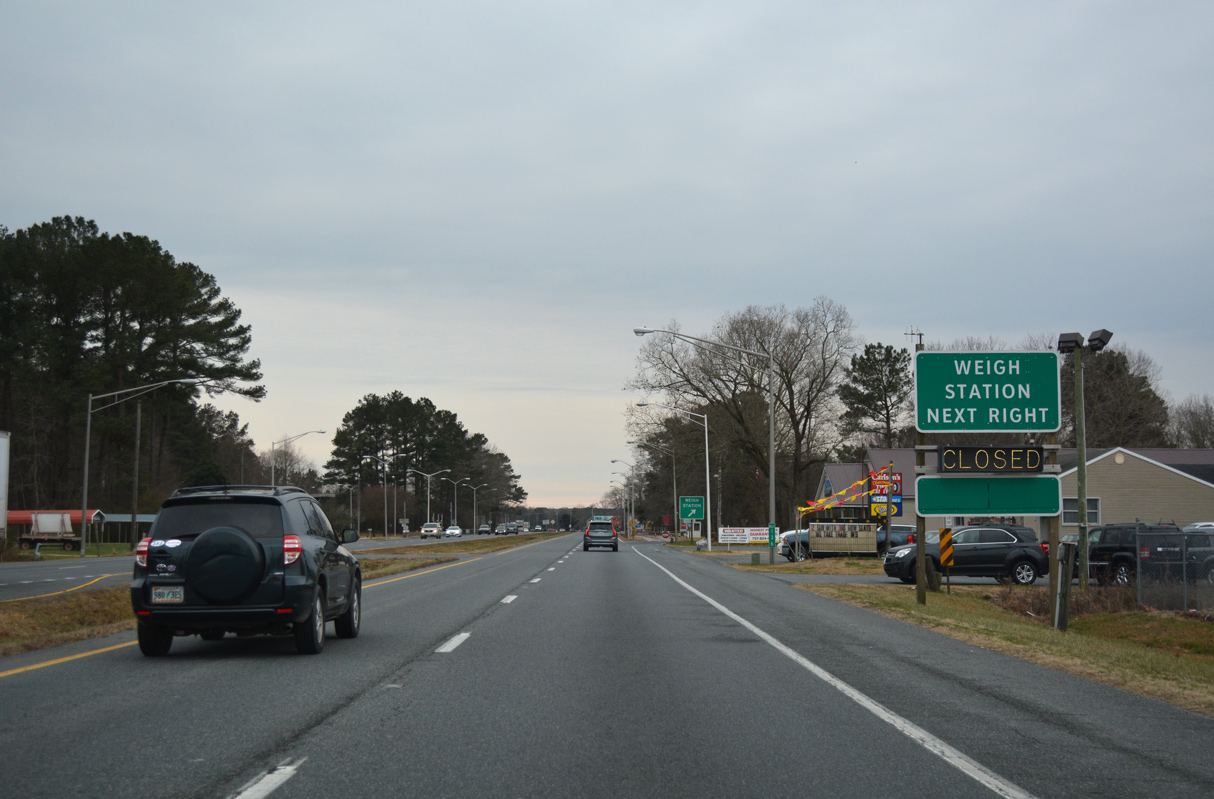
Weigh stations are located one mile south of the New Church Safety Rest Area along both sides of U.S. 13 (Lankford Highway).
12/30/17
12/30/17
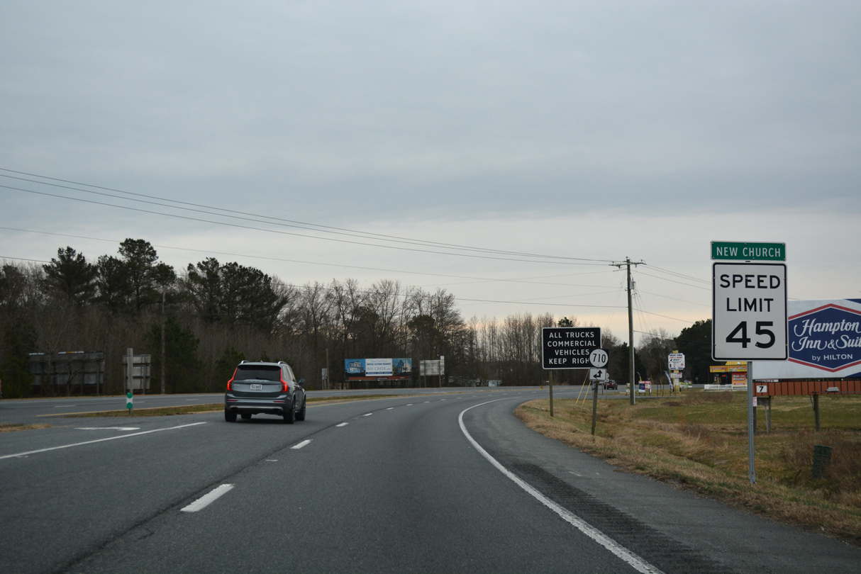
SR 710 returns to U.S. 13 from Davis Road south at New Church.
12/30/17
12/30/17
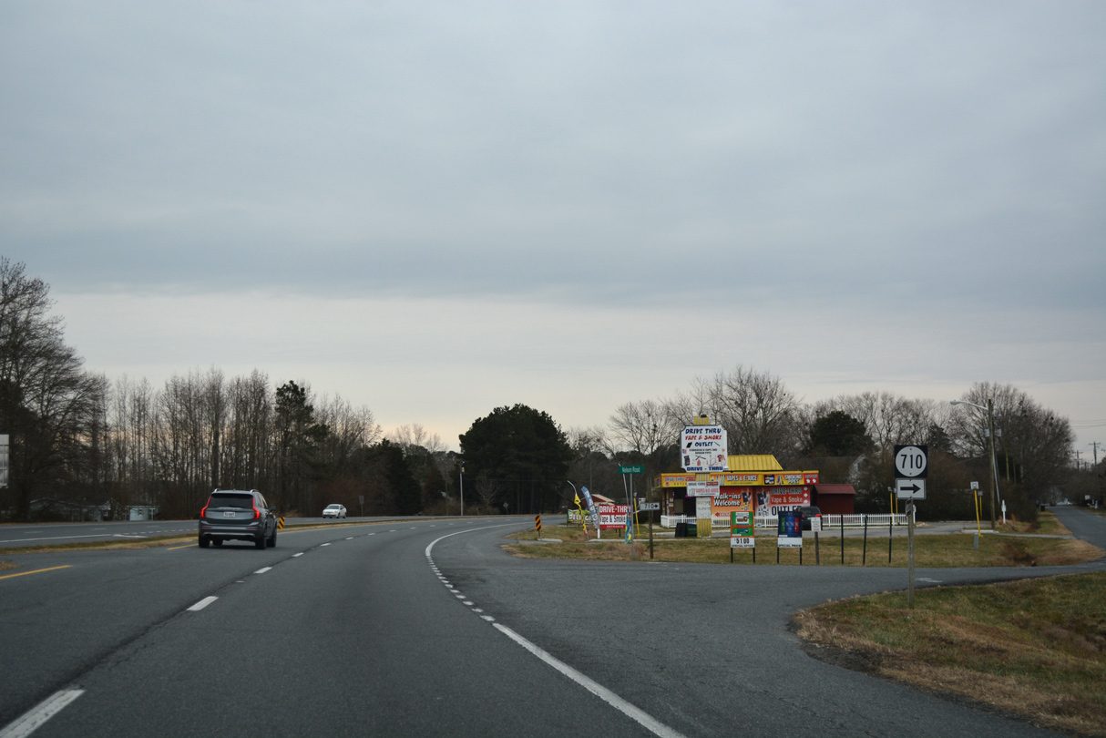
SR 710 resumes along the west side of U.S. 13 on Nelson Road through New Church.
12/30/17
12/30/17
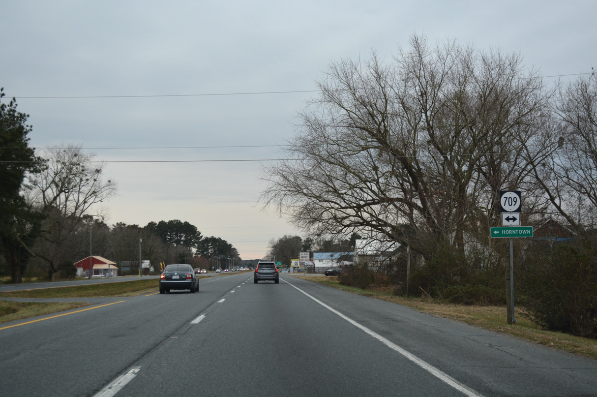
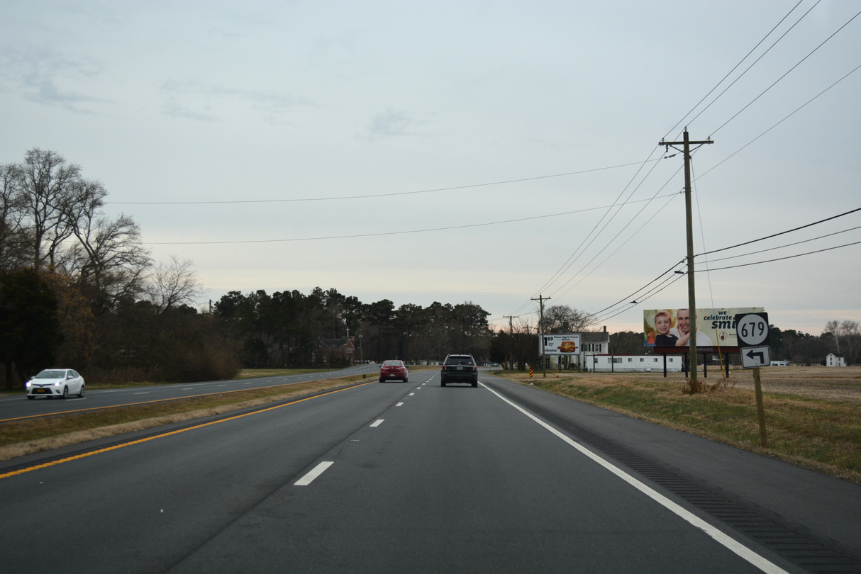
SR 709 (Horntown Road) runs 3.99 miles east from U.S. 13 at New Church to SR 679 (Fleming Road) at Horntown.
12/30/17
12/30/17
12/30/17

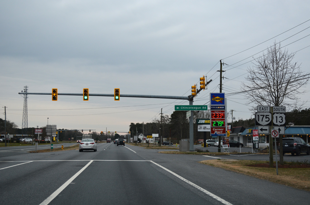
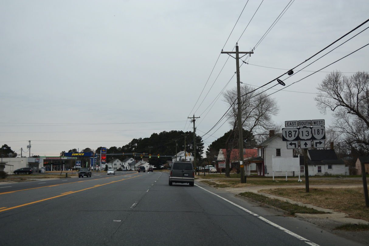
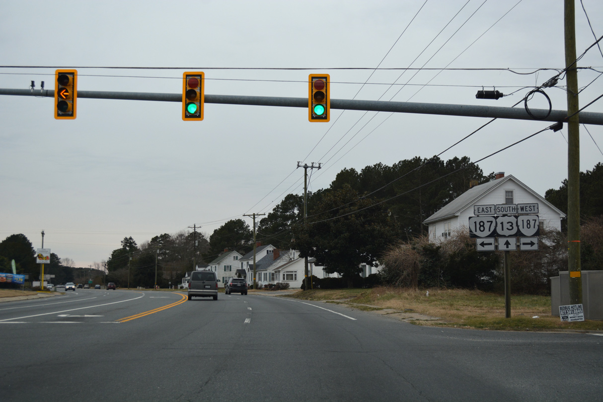
U.S. 13 (Lankford Highway) advances south to Nash Corner, where SR 175 stems east to Chincoteague.
12/30/17
12/30/17

SR 175 (Chincoteague Road) east to Wattsville and SR 798 (Atlantic Road) leads to the NASA Wallops Flight Facility.
12/30/17
12/30/17

State Route 175 (Chincoteague Road) extends 10.83 miles to Chincoteague Island.
12/30/17
12/30/17

12/30/17
12/30/17
12/30/17
12/30/17
12/30/17
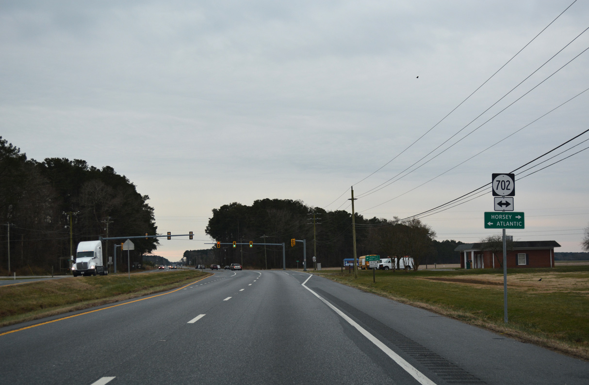
SR 702 connects U.S. 13 with Horsey just to the west and with Atlantic 3.00 miles to the southeast.
12/30/17
12/30/17
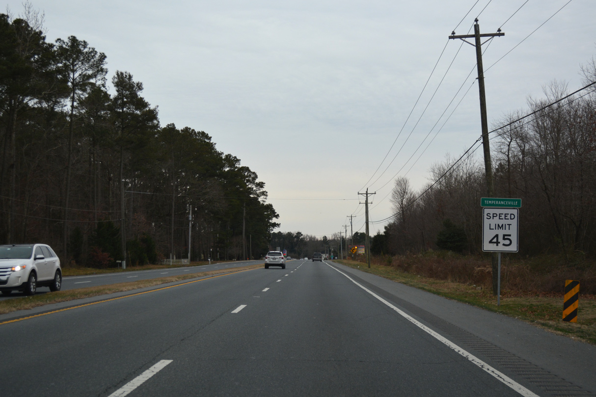
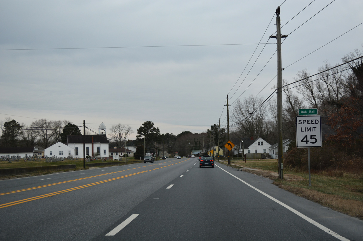
U.S. 13 proceeds south from Oak Hall to the unincorporated community of Temperanceville.
12/30/17
12/30/17
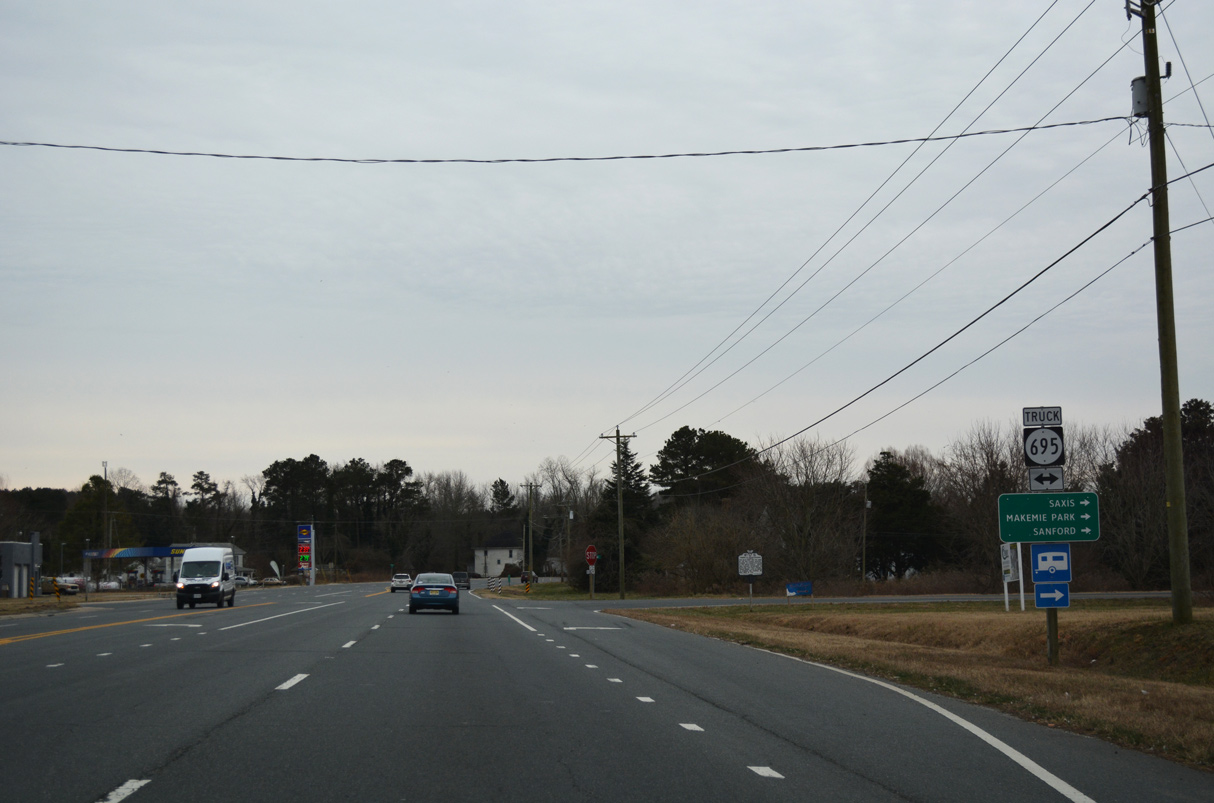
SR 695 (Saxis Road) spurs 12.42 miles west to Makemie Park, Sanford and the town of Saxis on Saxis Island.
12/30/17
12/30/17
12/30/17
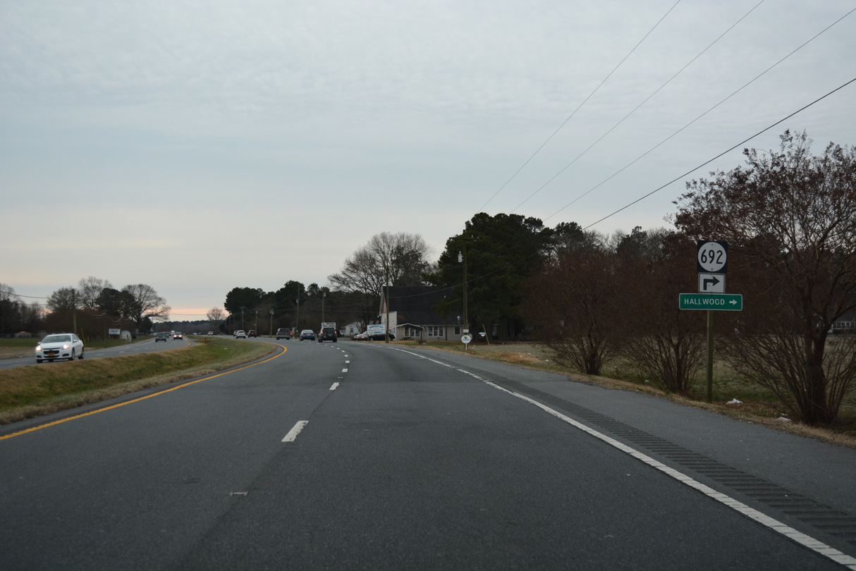
SR 692 ventures 8.21 miles northwest to Hallwood and SR 695 (Saxis Road) near Sanford.
12/30/17
12/30/17

12/30/17
12/30/17
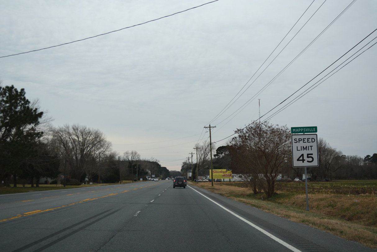
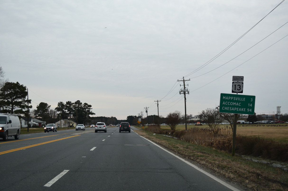
U.S. 13 (Lankford Highway) south at Mappsville.
12/30/17
12/30/17
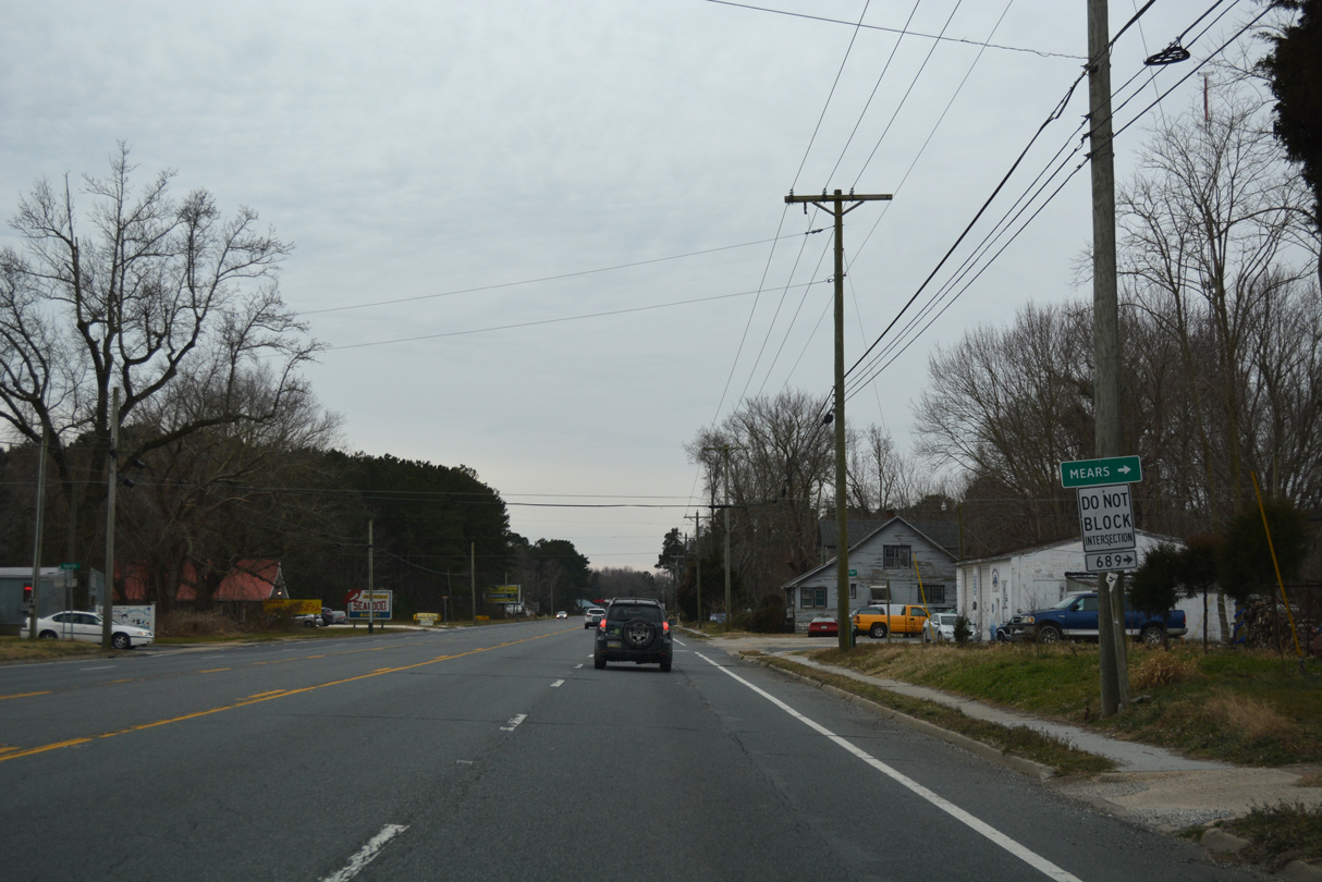
SR 689 (Turkey Run Road) heads west from U.S. 13 at Mappsville to SR 779 (Mears Station Road).
12/30/17
12/30/17
12/30/17
12/30/17
12/30/17
12/30/17
12/30/17
12/30/17
12/30/17
12/30/17
12/30/17
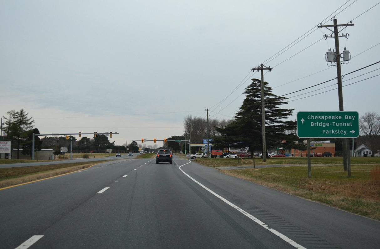
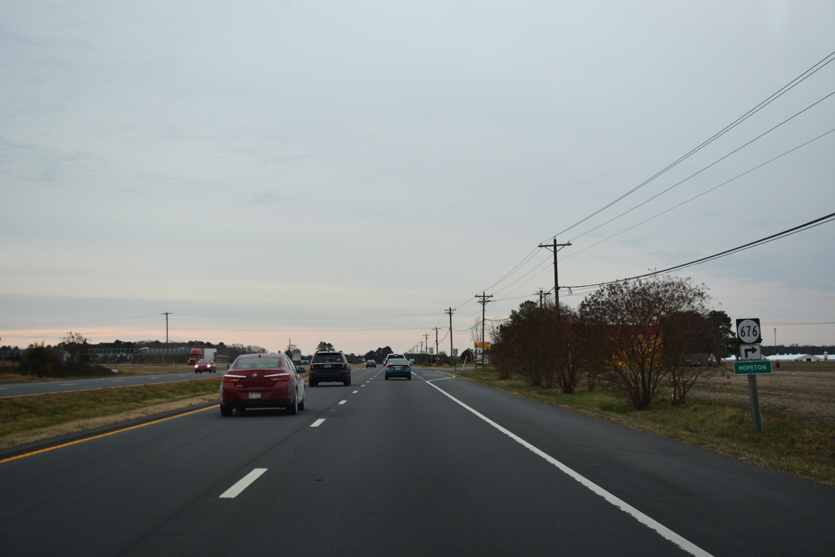
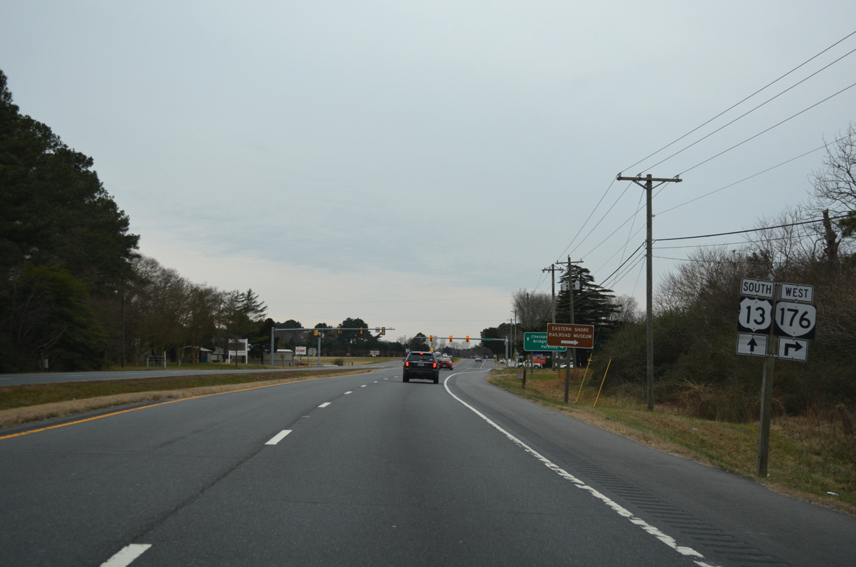
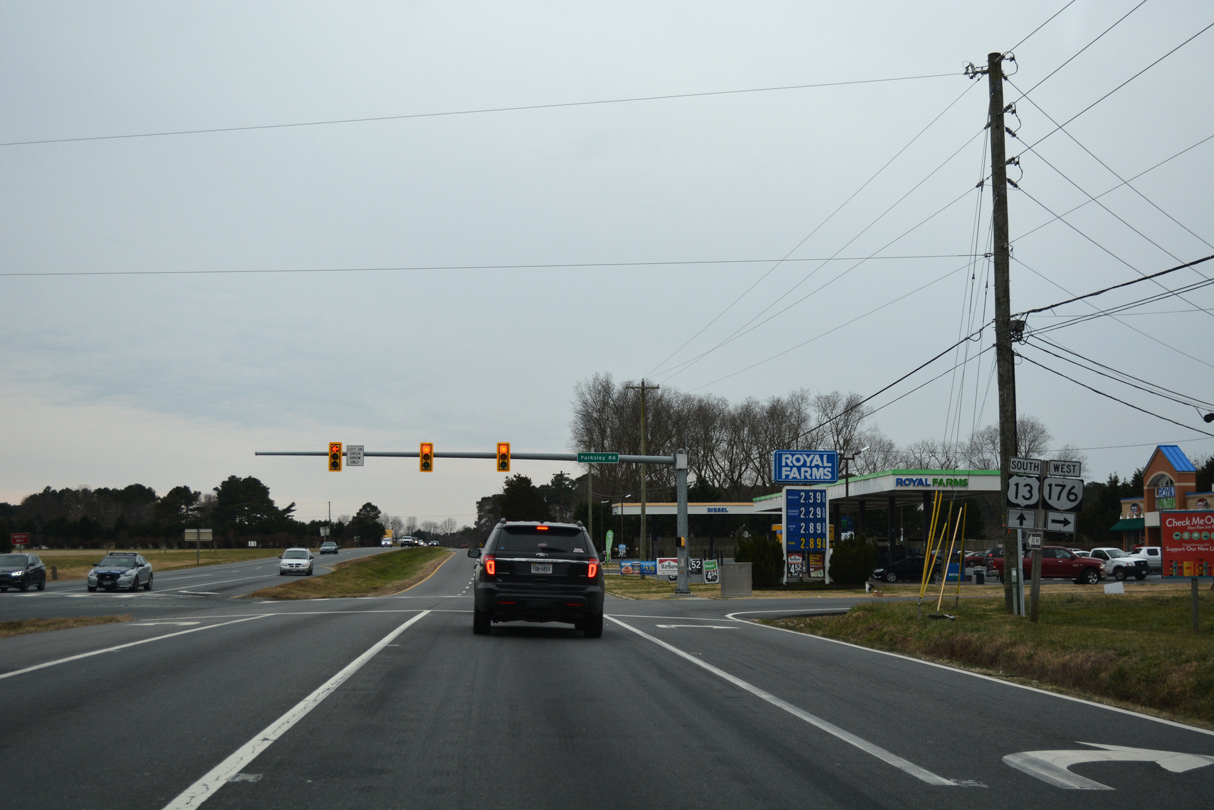
SR 176 is a 2.58 mile long route west from U.S. 13 to SR 316 (Greenbush Road) at Parksley.
12/30/17
12/30/17
12/30/17
12/30/17
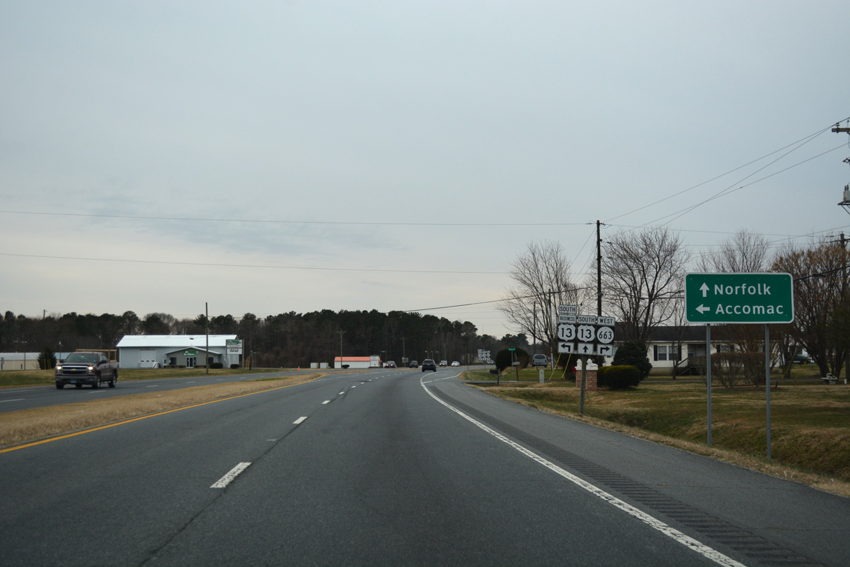
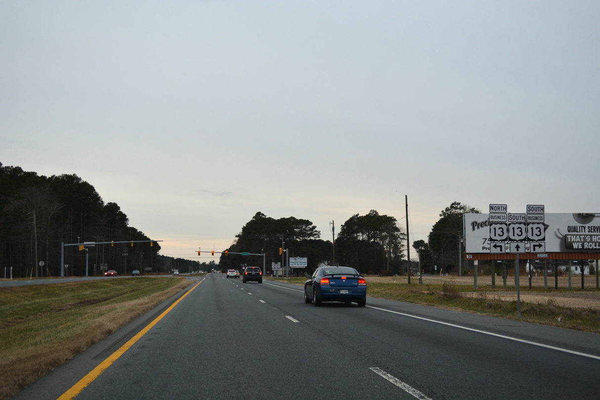
U.S. 13 Business branches south from U.S. 13 (Lankford Highway) along Front Street into the town of Accomac.
12/30/17
12/30/17
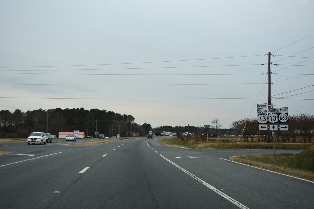
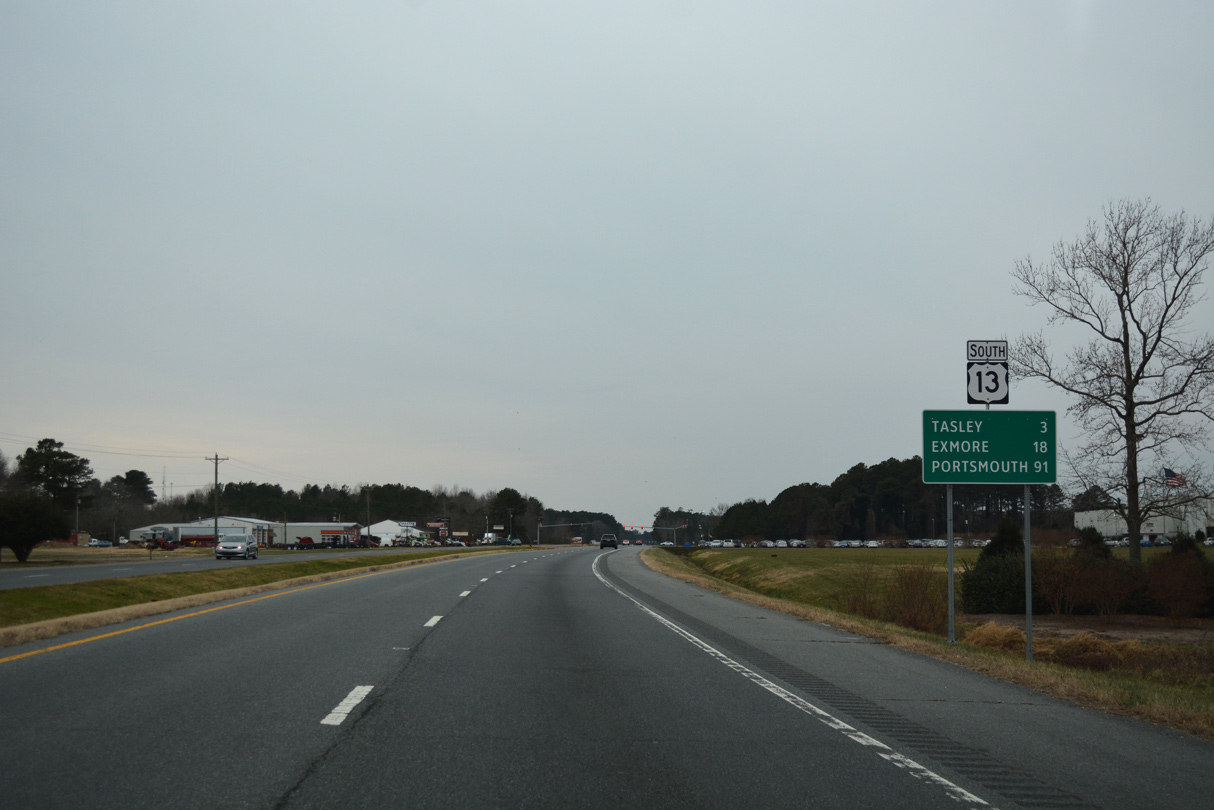
U.S. 13 Business through Accomac is part of a 5.73 mile long route intertwining with U.S. 13 south to Tasley and Onley.
12/30/17
12/30/17
12/30/17
12/30/17
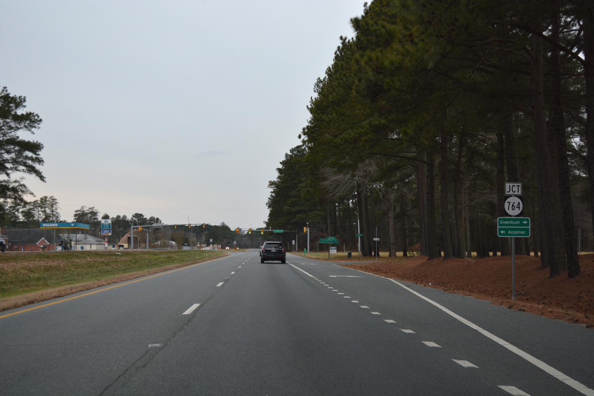
SR 764 is a 1.74 mile long route south along Courthose Avenue to U.S. 13 Business (Front Street) in Accomac and north along Accomac Road to SR 316 at Greenbush.
12/30/17
12/30/17
12/30/17
U.S. 13 Business (Front Street) heads west from Accomac across U.S. 13 onto Tasley Road.
12/30/17
12/30/17

12/30/17
12/30/17
12/30/17

12/30/17
12/30/17
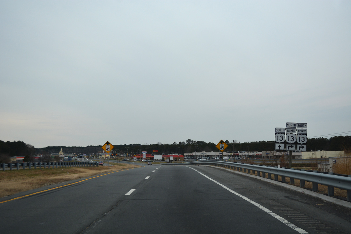
U.S. 13 Business (Coastal Boulevard) meets U.S. 13 again at a grade separated intersection between Tasley and Onley.
12/30/17
12/30/17
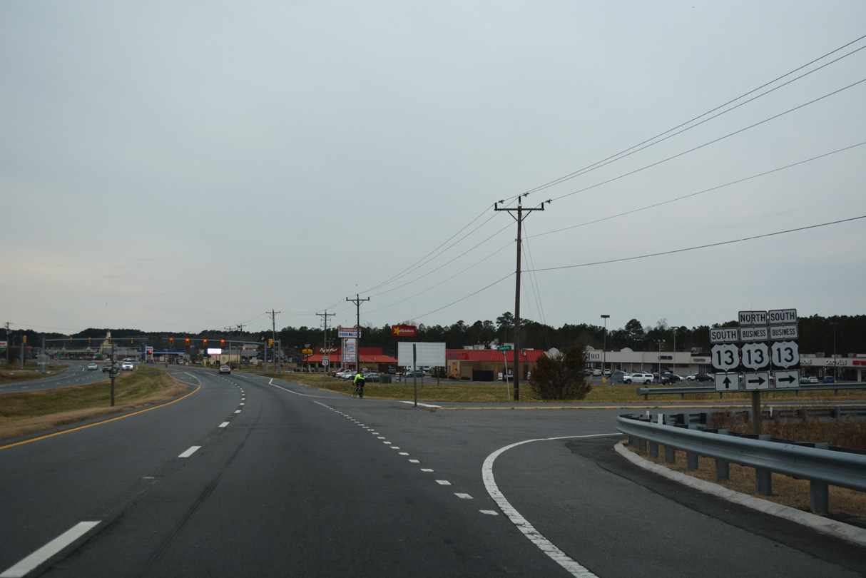
Cooperative Way links U.S. 13 with U.S. 13 Business (Coastal Boulevard).
12/30/17
12/30/17
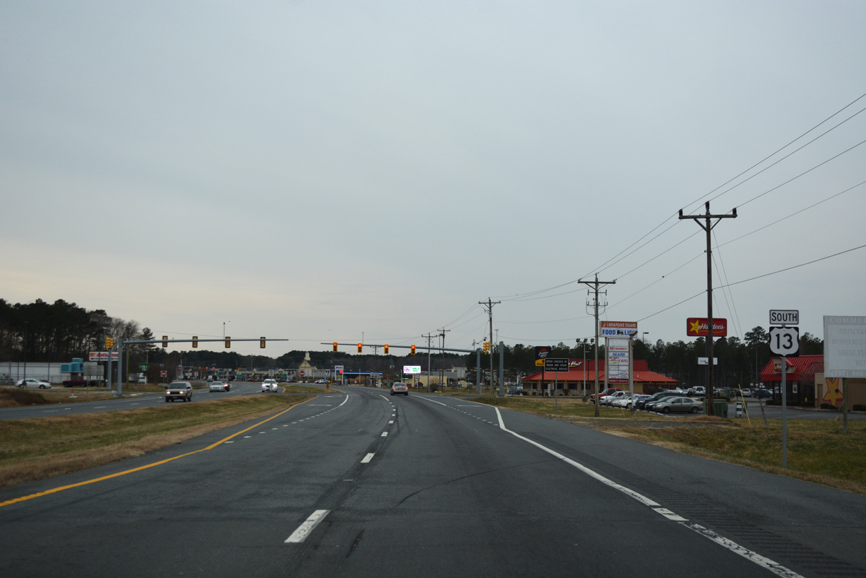
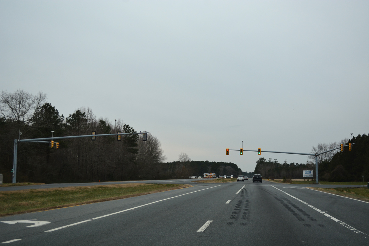
The signalized entrance with Chesapeake Square shopping center follows Cooperative Way and U.S. 13 Business from Lankford Highway southbound.
12/30/17
12/30/17
12/30/17
12/30/17
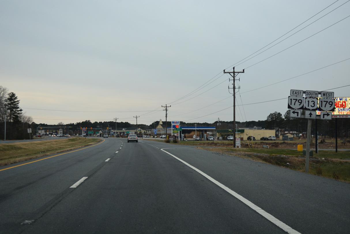
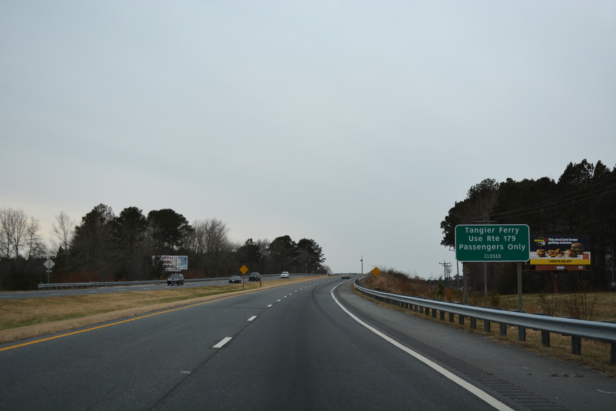
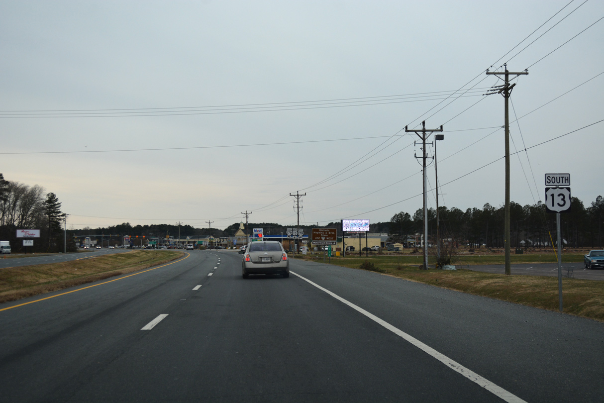
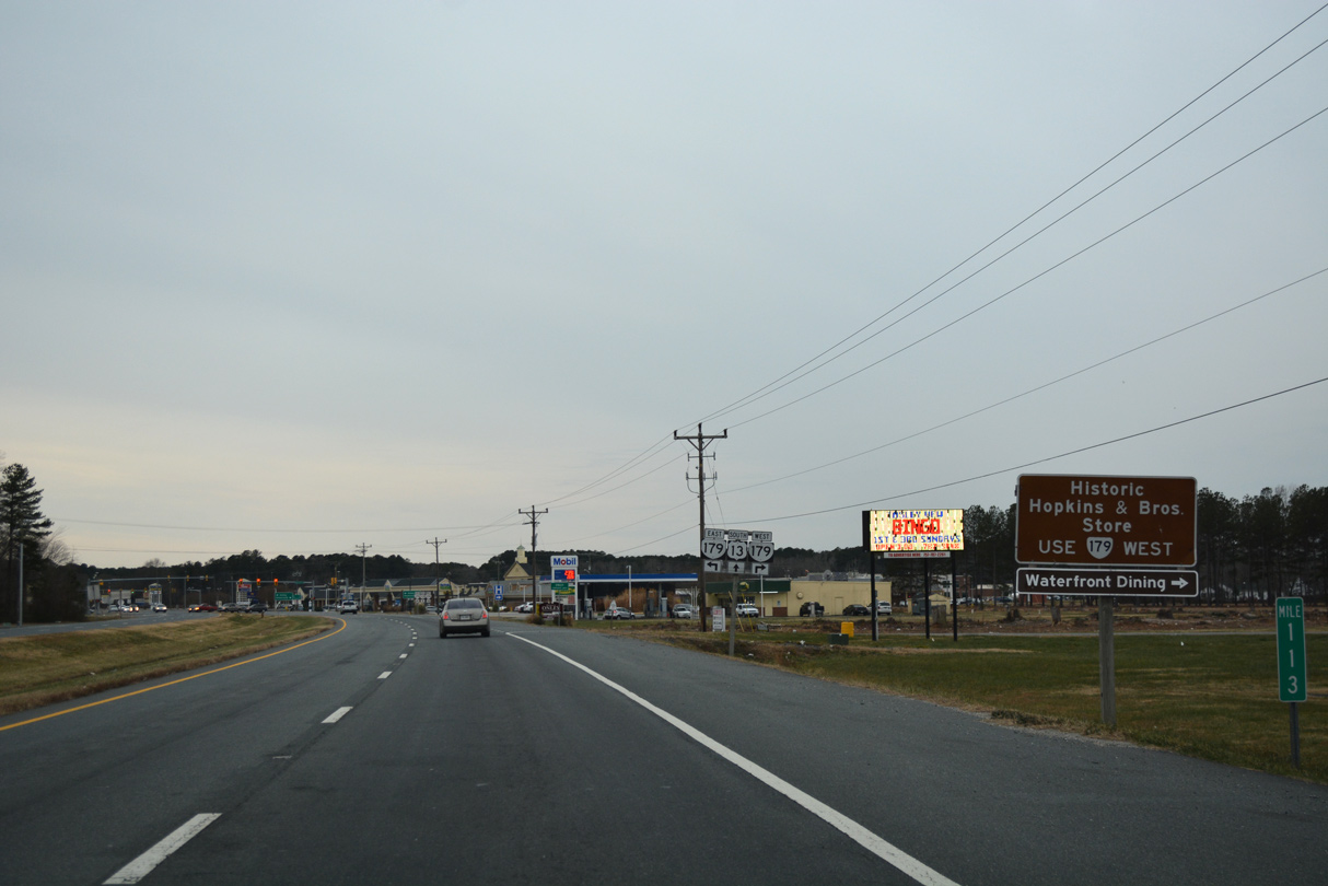
SR 179 runs 2.44 miles west into the town of Onancock along Market Street.
12/30/17
12/30/17
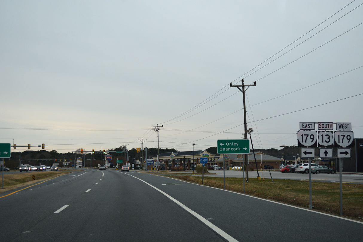
SR 179 follows Main Street 0.50 miles south from U.S. 13 (Lankford Highway) to U.S. 13 Business (Coastal Boulevard) in Onley.
12/30/17
12/30/17
12/30/17
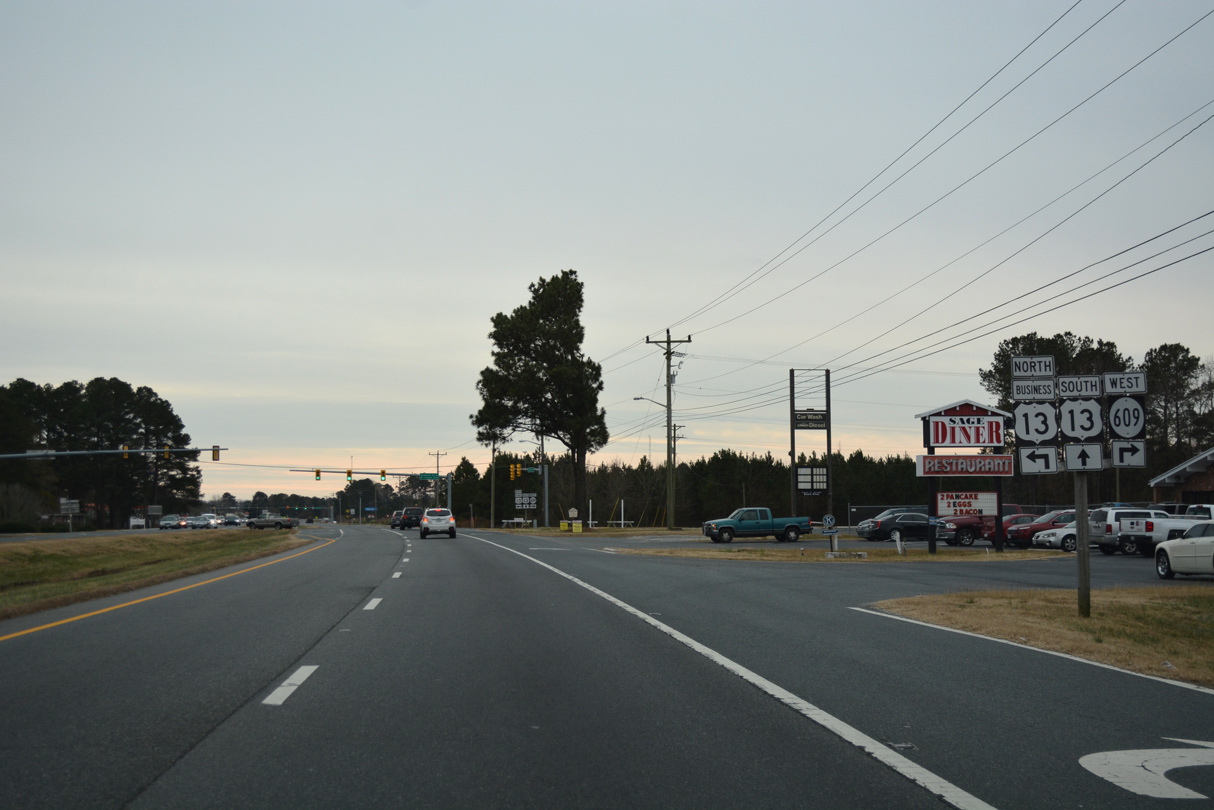
The south end of U.S. 13 Business in Onley lies across from SR 609 (Pennsylvania Avenue).
12/30/17
12/30/17
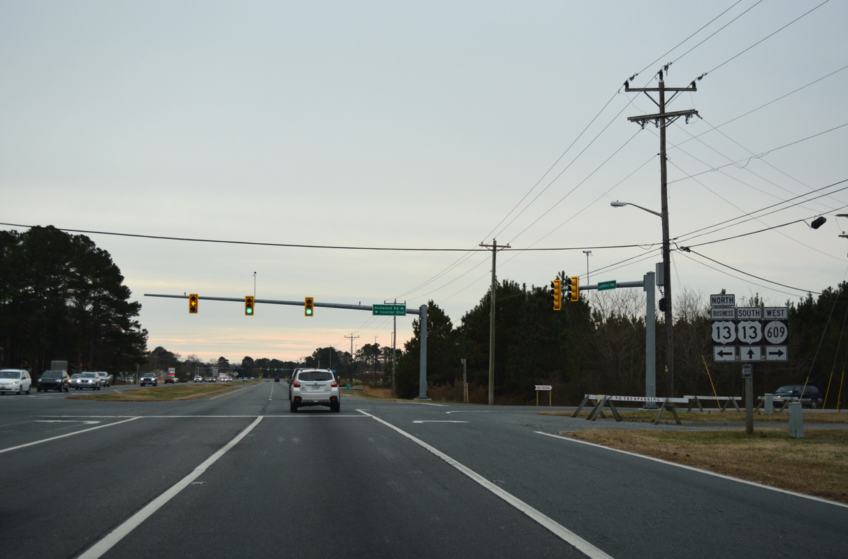
12/30/17

The signal with Onley Road north and Madigan Way west serves big box retail.
12/30/17
12/30/17
12/30/17
12/30/17

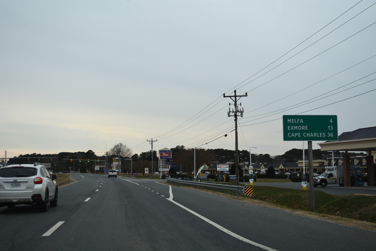
U.S. 13 (Lankford Highway) enters the town of Melfa south through an area of timberland.
12/30/17
12/30/17
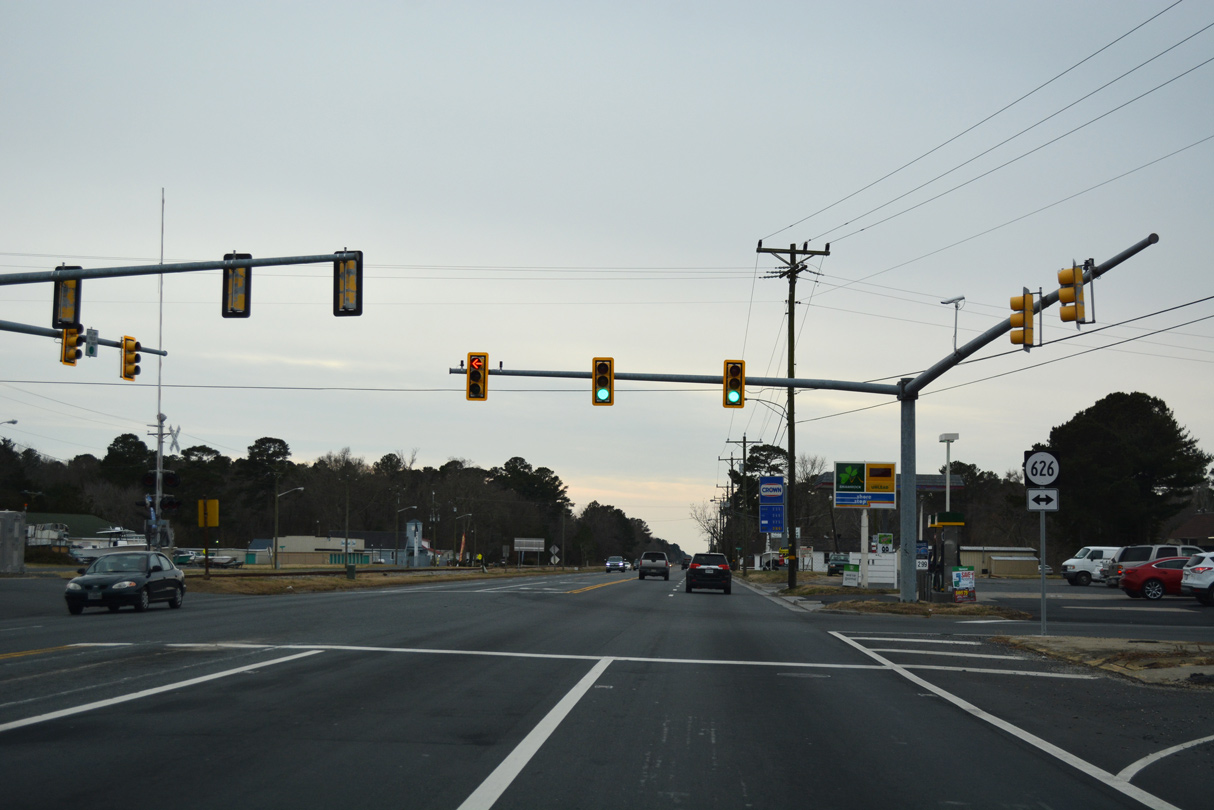
U.S. 13 (Lankford Highway) south meets SR 626 (Main Street) at a signalized intersection in Melfa.
12/30/17
12/30/17
12/30/17
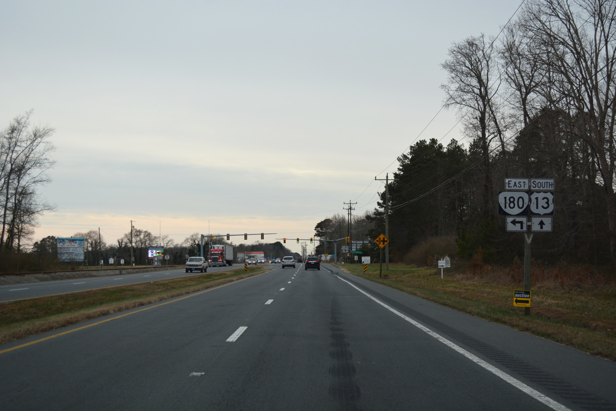
SR 180 (Wachapreague Road) converges with U.S. 13, 4.35 miles west from Main Street in the town of Wachapreague.
12/30/17
12/30/17
SR 180 (Wachapreague Road) was realigned northward from N.R. North Street and Keller Fair Road along an overlap with U.S. 13.
12/30/17
12/30/17
South 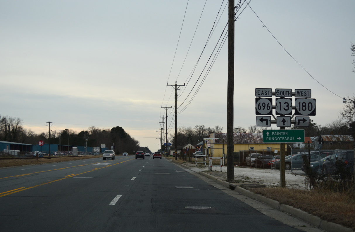
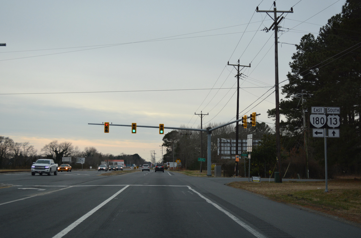
SR 180 splits with U.S. 13 (Lankford Highway) 0.46 miles to the south at N.R. North Street and SR 696 in the town of Keller.
12/30/17
12/30/17
South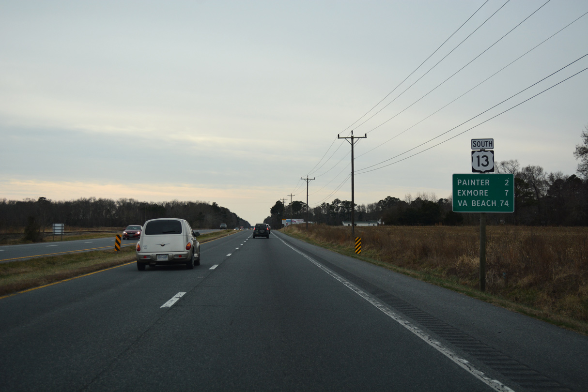
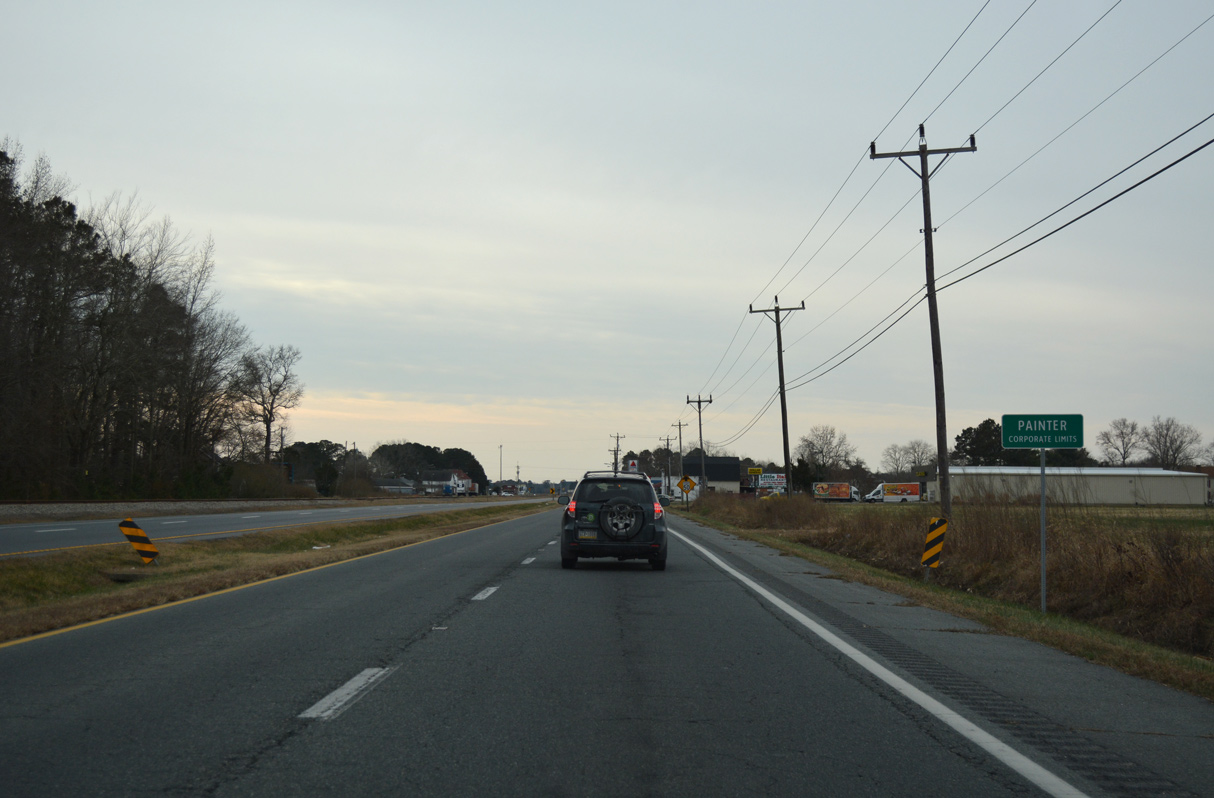
U.S. 13 continues south across Ames Ridge from Keller two miles to the town of Painter.
12/30/17
12/30/17
12/30/17
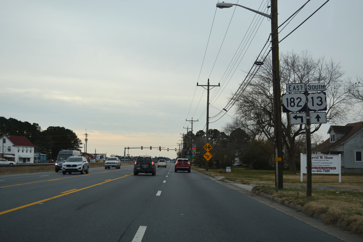
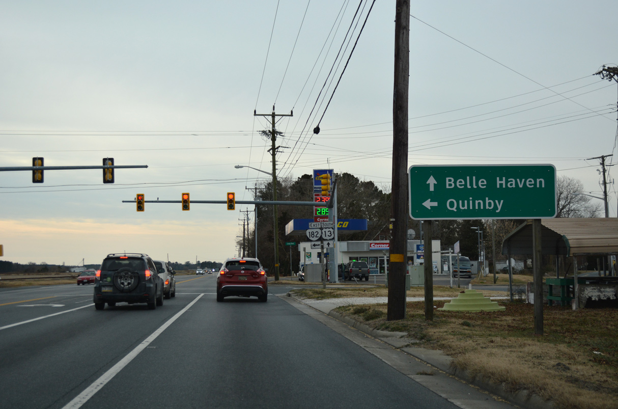
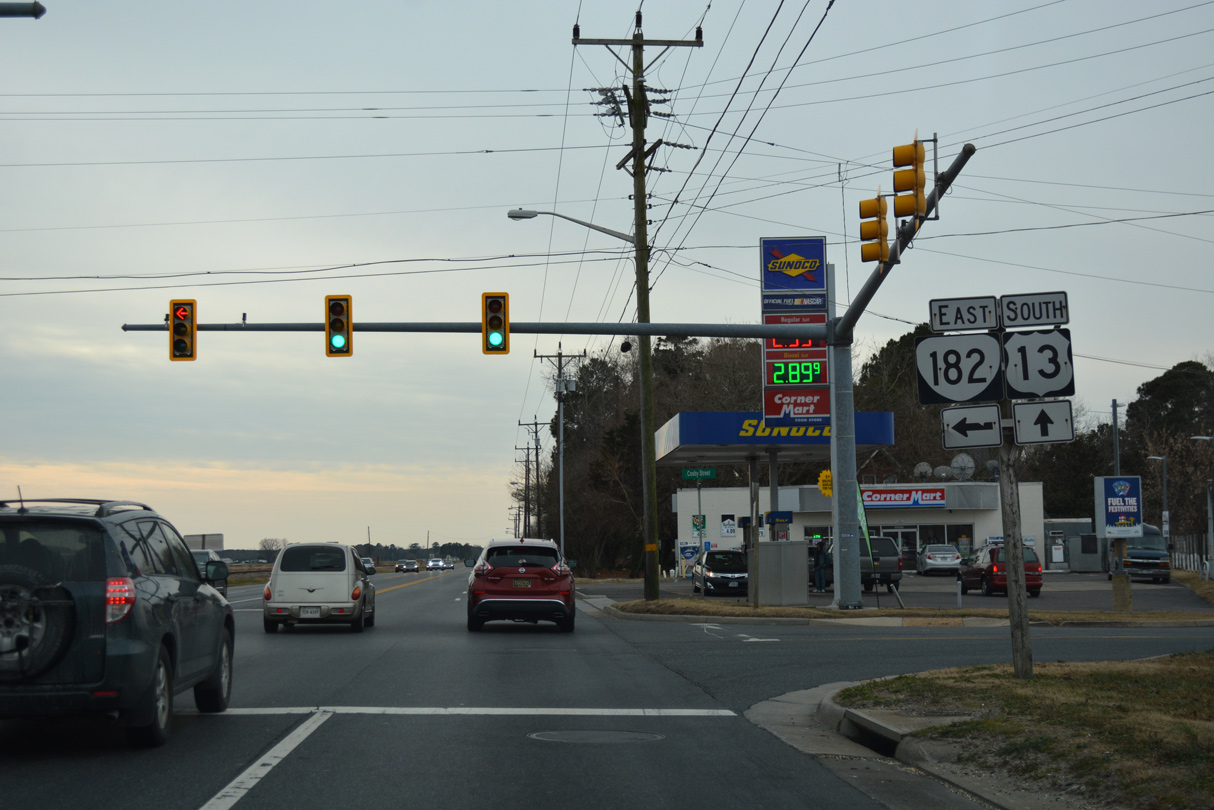
SR 182 spurs 3.71 miles southeast from U.S. 13 at Painter to SR 605 (Bradfords Neck Road) in Quinby.
12/30/17
12/30/17
SR 182 crosses the Machipongo River east from Mappsburg onto Bradford Neck.
12/30/17
12/30/17
SR 182 dog legs east along Main Street and north on Railroad Avenue one block to Mappsburg Road.
12/30/17
12/30/17

SR 603 follows Savagetown Road east to Savage Town and SR 600 (Seaside Road) near Cats Bridge.
12/30/17
12/30/17
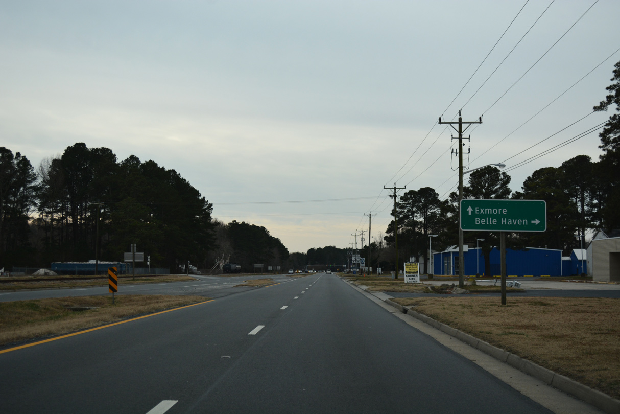
SR 181 (King Street) comprises a 0.95 mile long route west to SR 178 (Shields Bridge Road) in the town of Belle Haven.
12/30/17
12/30/17
12/30/17
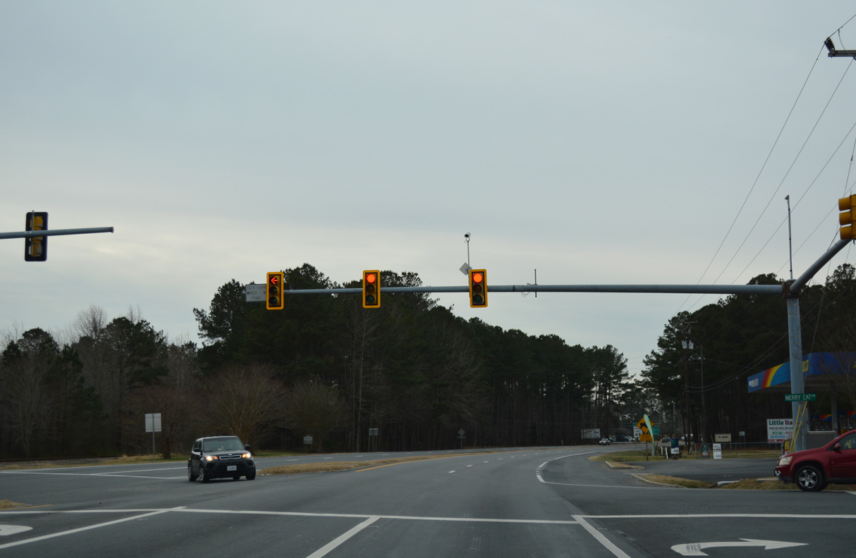
Merry Cat Lane angles southeast from SR 178 in Belle Haven to meet U.S. 13 across from County Line Road.
12/30/17
12/30/17
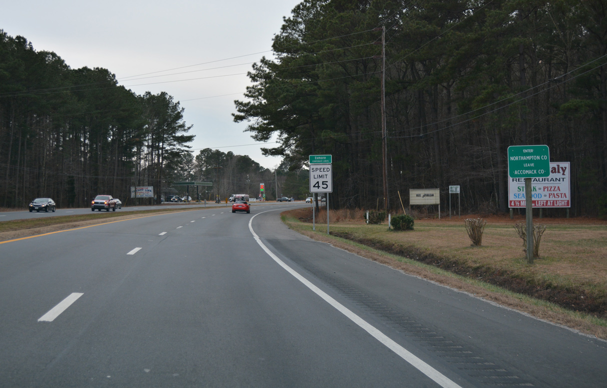
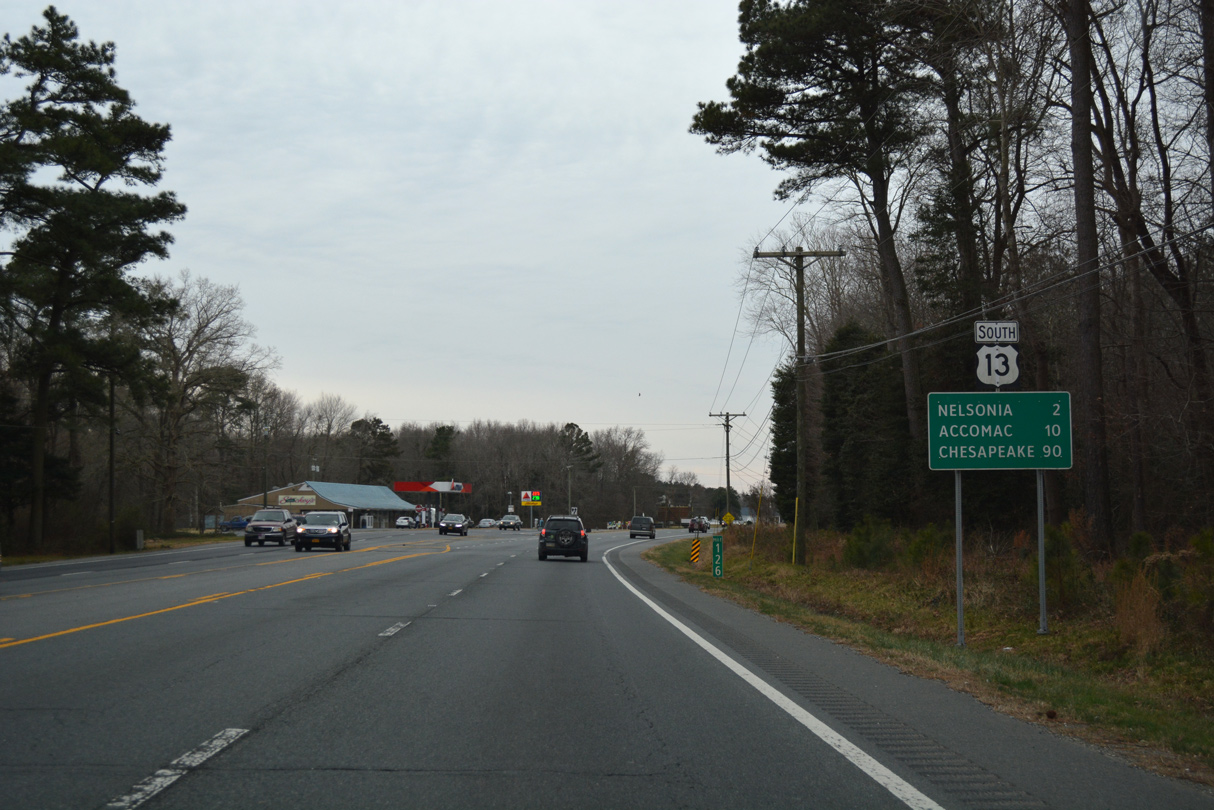
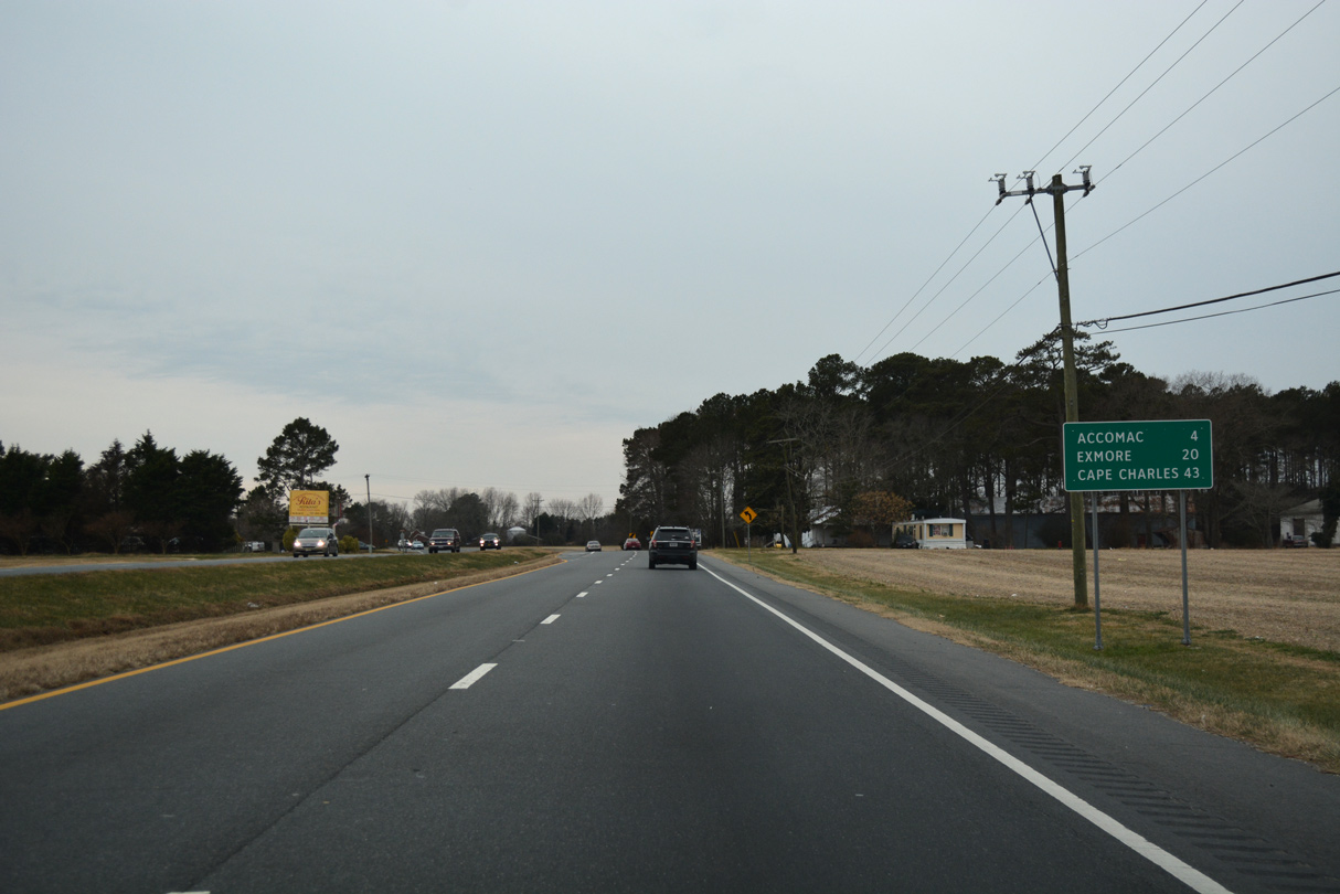
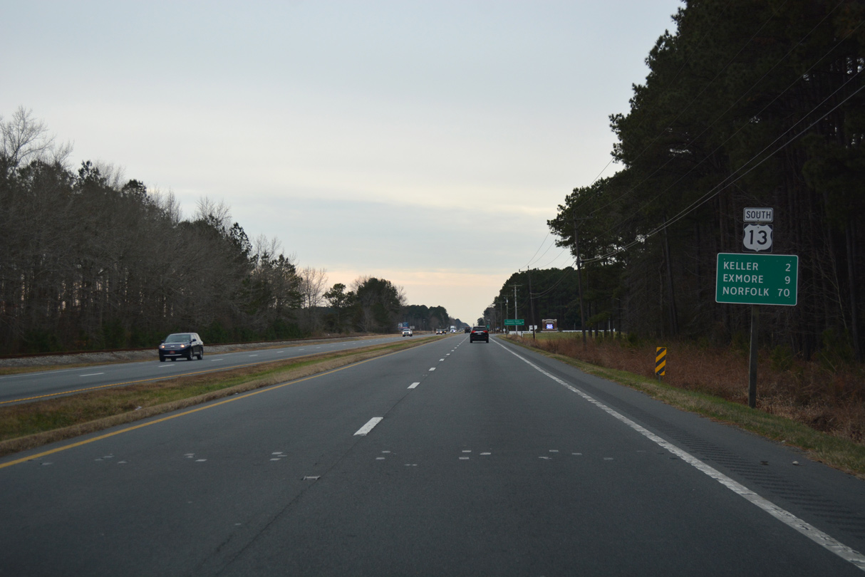
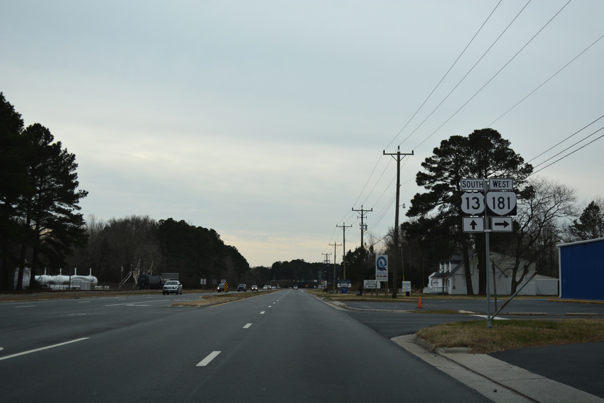
U.S. 13 travels 37.21 miles south from the Maryland line into Northampton County.
12/30/17
12/30/17
Photo Credits:
- Alex Nitzman: 12/30/17
Page Updated Monday April 19, 2021.