
U.S. 13 South - New Castle to Bear
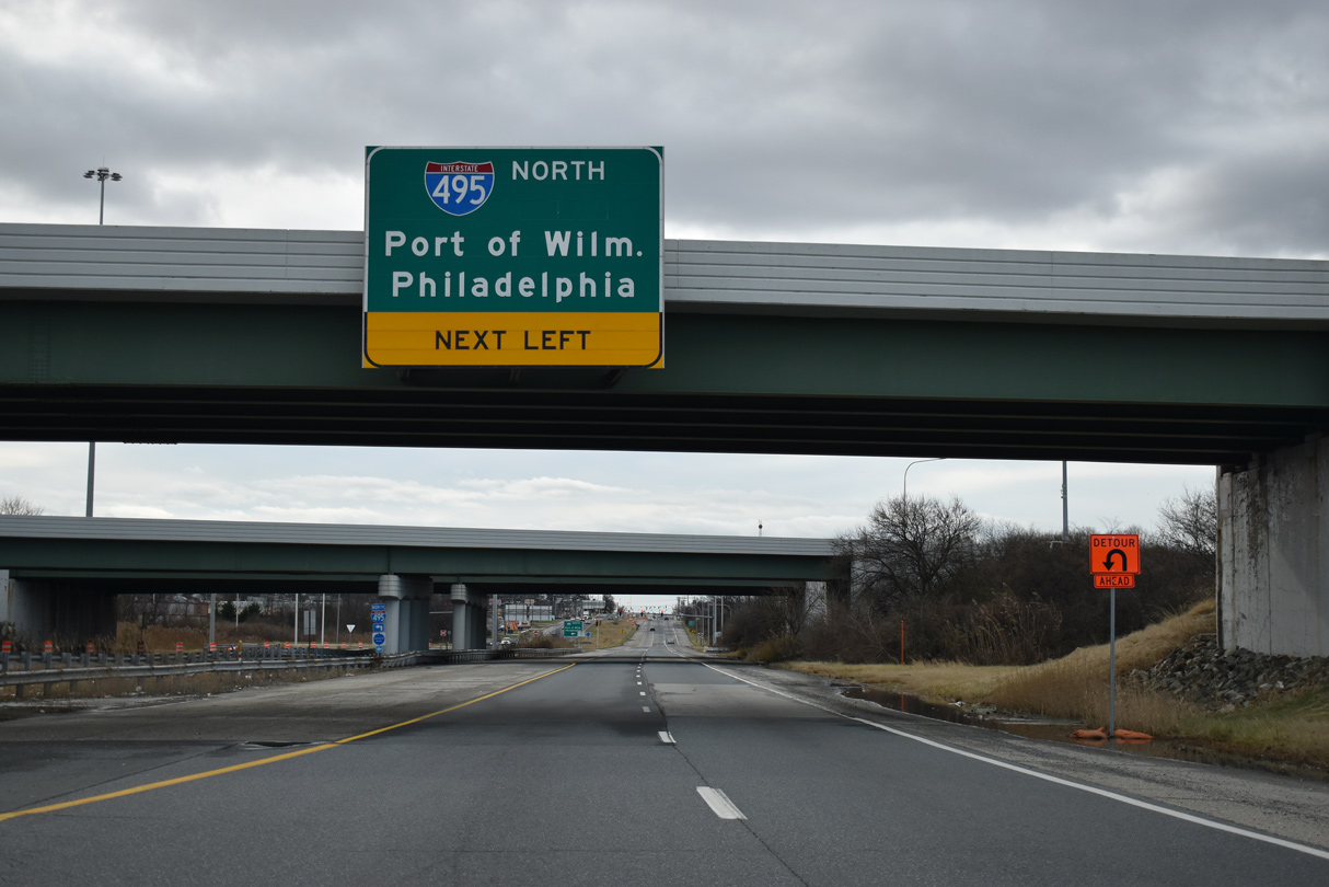
The directional cloverleaf interchange at I-495 was expanded in 2000. Ramps were added to link I-495 south with U.S. 13 north and from U.S. 13 south to I-495 north. These additions improved access to Wilmington during the major reconstruction and closure of I-95 north of the city at that time.
01/01/19
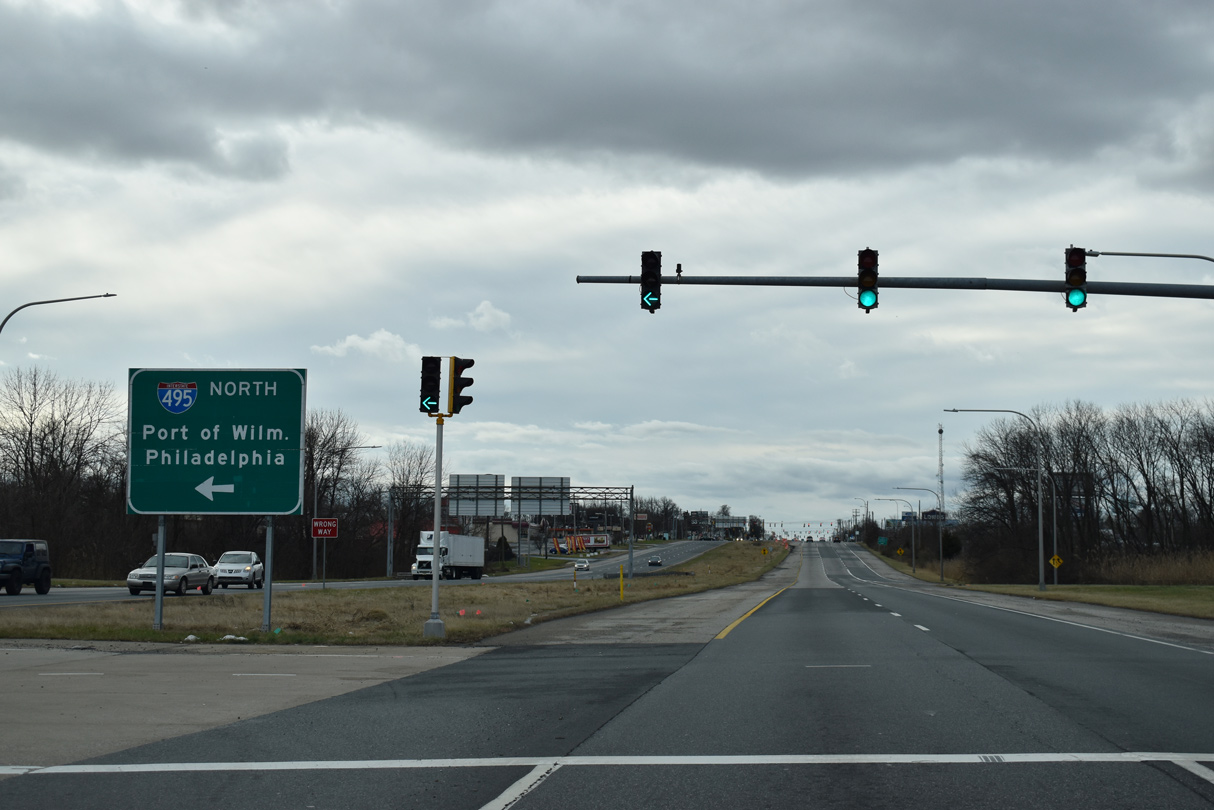
Interstate 495 curves northeast from U.S. 13 (Dupont Highway) by the Port of Wilmington to Cherry Island and Edgemoor.
01/01/19
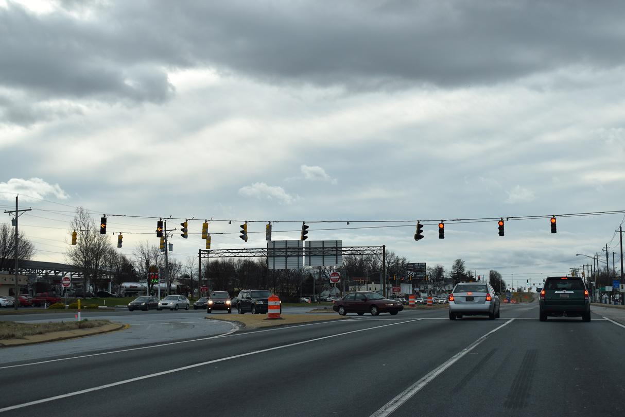
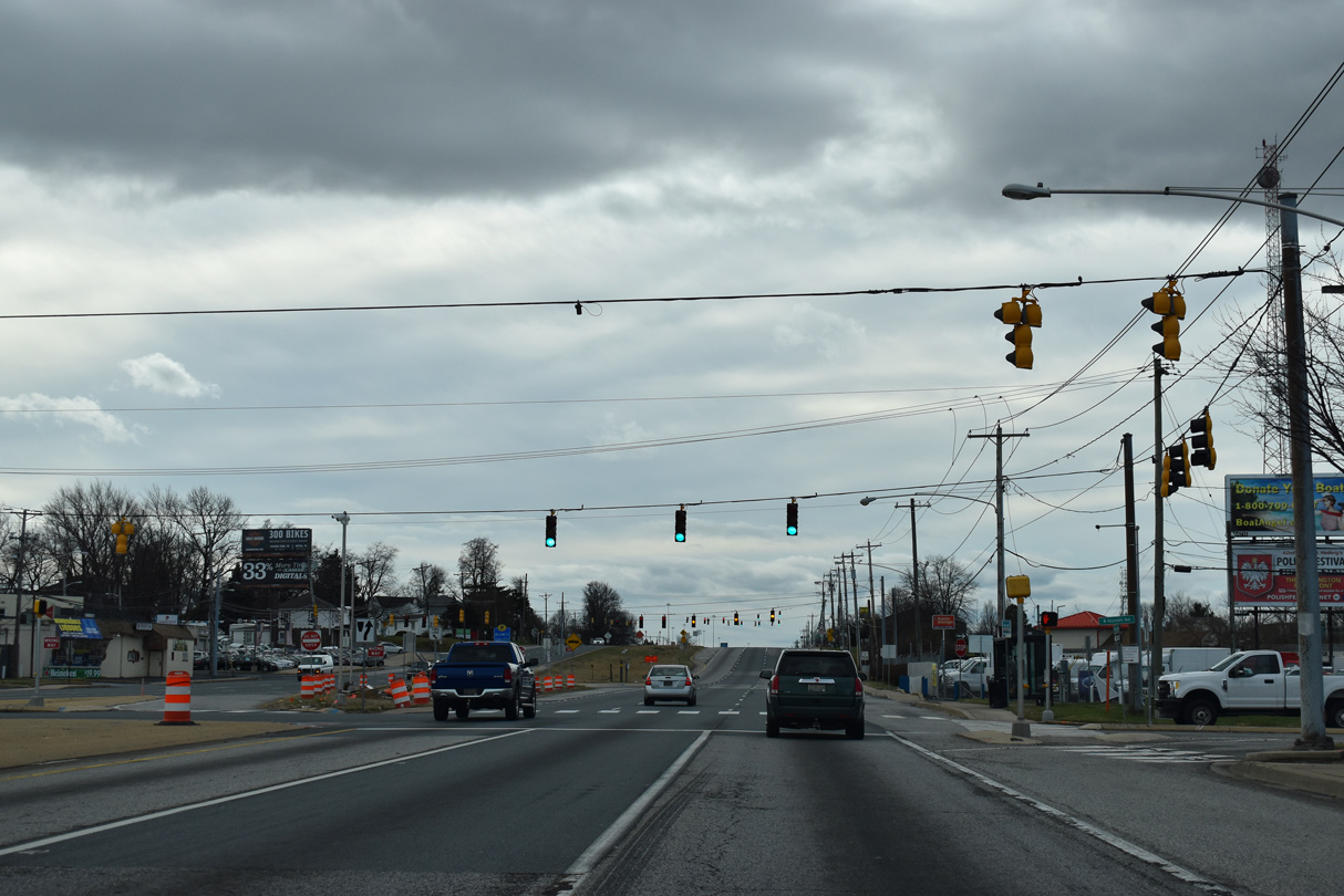
Hessler Boulevard spurs north to big box retail and a Delaware DMV facility from the first of several signals along U.S. 13 (Dupont Highway) at Minquadale.
01/01/19
Memorial Drive angles southeast from Minquadale to the Overview Gardens and Garfield Park neighborhoods and SR 9 (New Castle Avenue) near I-295.
01/01/19
The emergency signals at Hazdell Avenue serve Minquadale Fire Company.
01/01/19
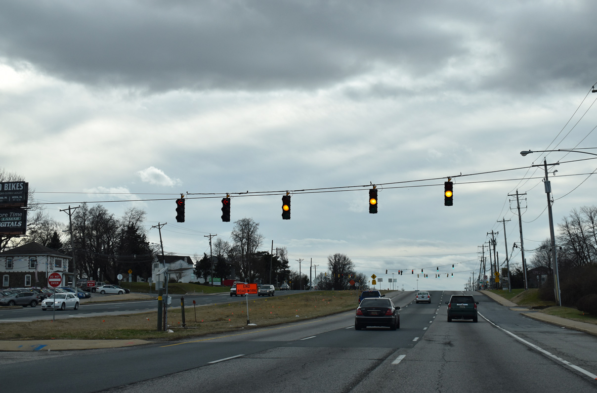
Fernwood Avenue east Wildel Avenue north meet U.S. 13 at the last signal in Minquadale. This intersection was reconfigured in 2019 to eliminate the signals for the New Castle County Police Department entrance road.
08/07/04
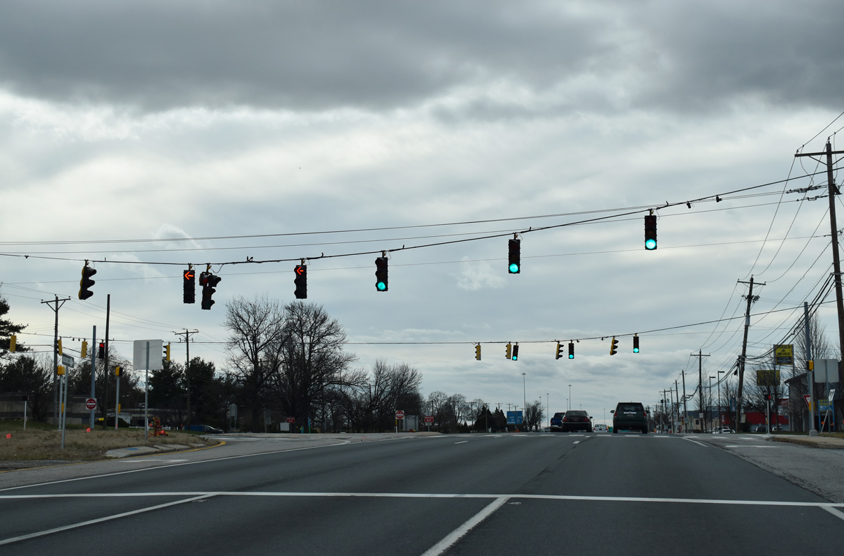
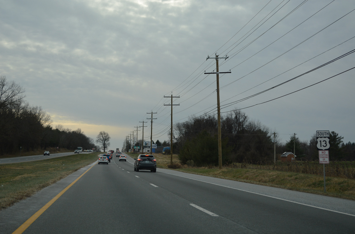
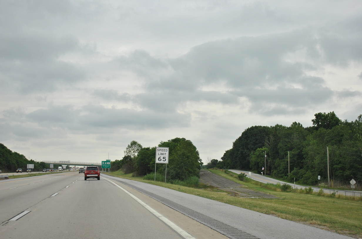
Reassurance marker posted south of Fernwood Avenue. Dupont Parkway continues with six lanes from I-495 and the community of Minquadale to Farnhurst.
01/01/19

Advancing south between Delaware State Hospital and Gracelawn Memorial Park, U.S. 13 approaches the Farnhurst Interchange with I-295/U.S. 40.
01/01/19
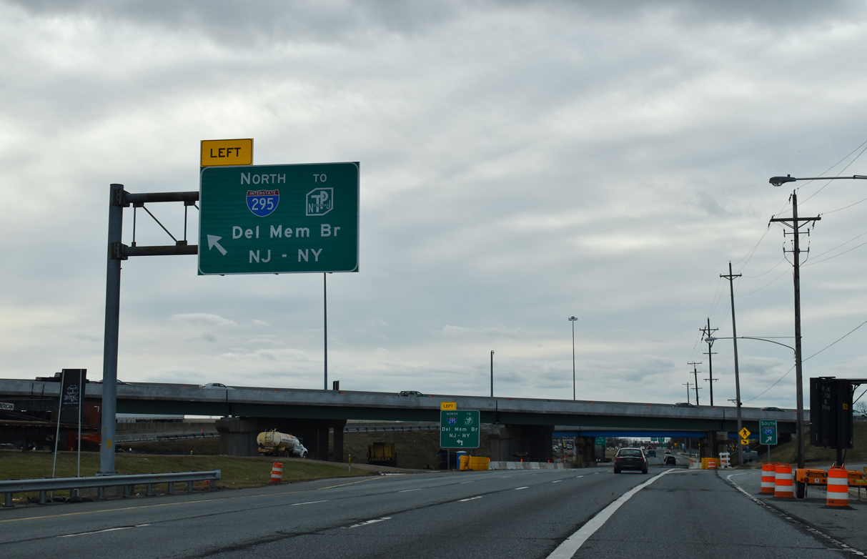
Delaware River and Bay Authority (DRBA) reconstructed the Farnhurst Interchange initially 2001-03 with the removal of the left exit ramp from U.S. 13 south to I-295/U.S. 40 north. The exchange was rebuilt again from February 2016 to April 2019.
01/01/19
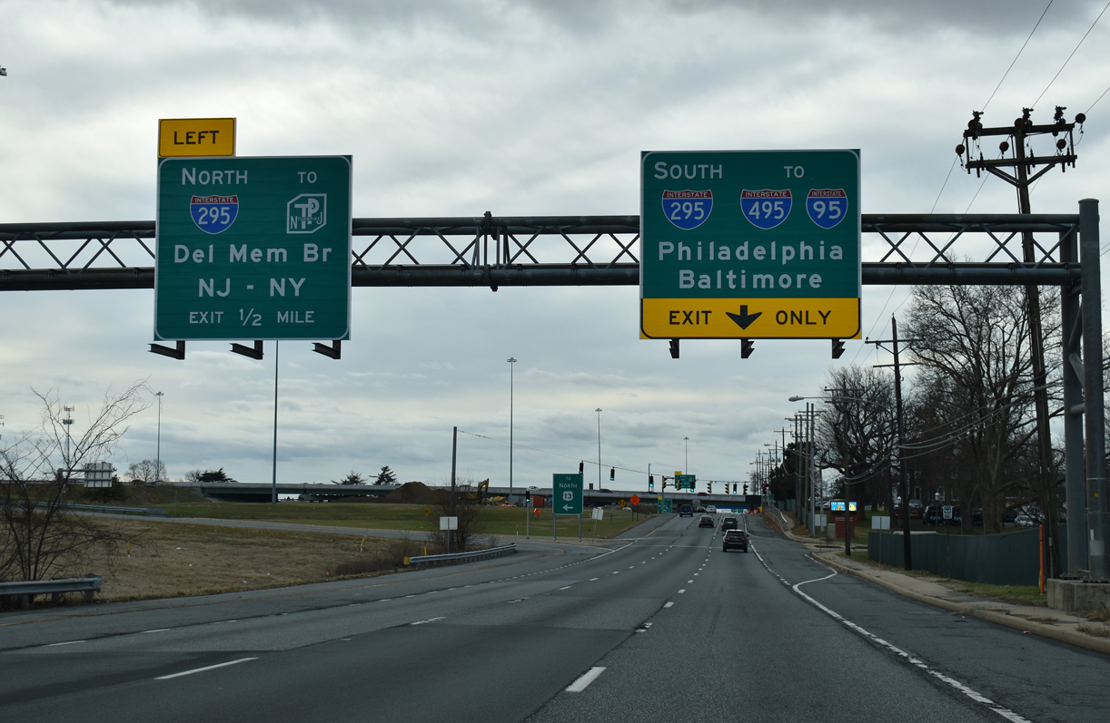
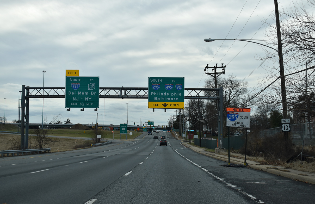
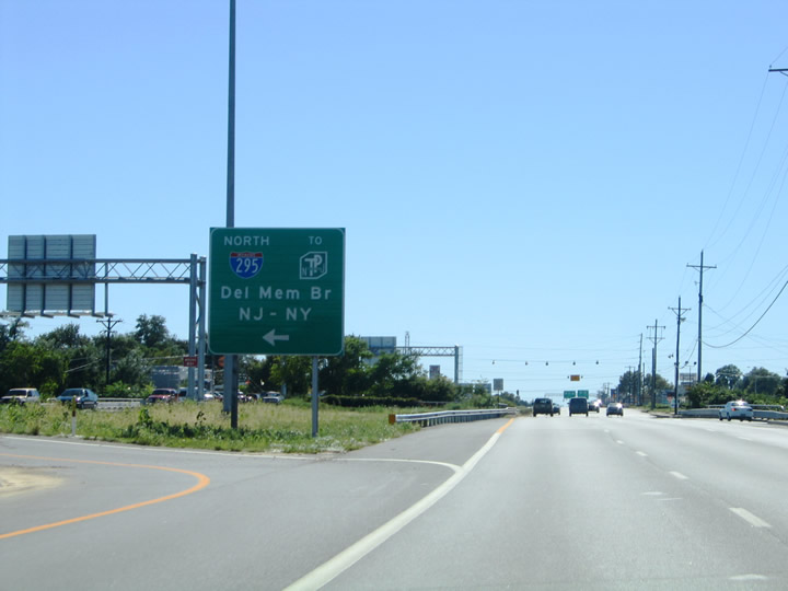
Southbound Interstate 295 concludes just west of U.S. 13 (Dupont Highway) at the sprawling interchange joining I-95 (Delaware Turnpike), I-495 and SR 141 (Newport Freeway / Basin Road).
01/01/19
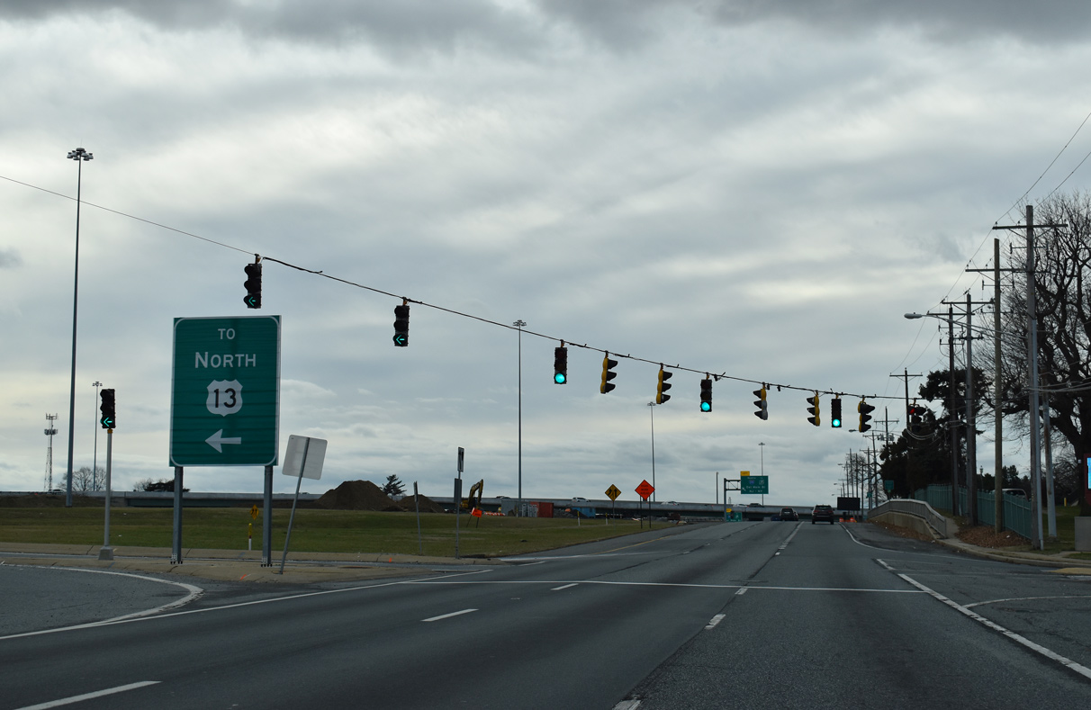
Also included in the 2001-03 DRBA improvement project at I-295 was the addition of a U-turn ramp for U.S. 13 north opposite the Health and Social Services campus entrance. A northbound turnaround was also added for motorists to access U.S. 13 south from I-295 north.
01/01/19
A left turn connects U.S. 13 south with the northbound entrance ramp from U.S. 13 to I-295 north / U.S. 40 east to the Delaware Memorial Bridge and New Jersey Turnpike. The adjacent overpass for I-295 south was replaced during 2016-19 reconstruction of the Farnhurst Interchange.
01/01/19

A left side ramp brings U.S. 40 west onto U.S. 13 south below the I-295 mainline at Farnhurst. The succeeding left turn links with I-295/U.S. 40 northbound.
01/01/19
Interstate 295 north / U.S. 40 east overlap from Farnhurst to Deepwater, New Jersey, where I-295 turns north from the NJ Turnpike to Carneys Point. U.S. 40 proceeds east from the Turnpike to Woodstown and Atlantic City.
09/19/04
U.S. 13/40 enter the Wilmington Manor community along a commercialized stretch of Dupont Parkway running southwest. McMullen Avenue ties into the southbound lanes just beyond the New Castle Industrial Trail underpass.
06/02/12
Bacon Avenue connects with Dupont Parkway at this signal from Leedom Estates and other neighborhood areas to the west opposite Boulden Boulevard east to Southgate Industrial Park.
06/02/12
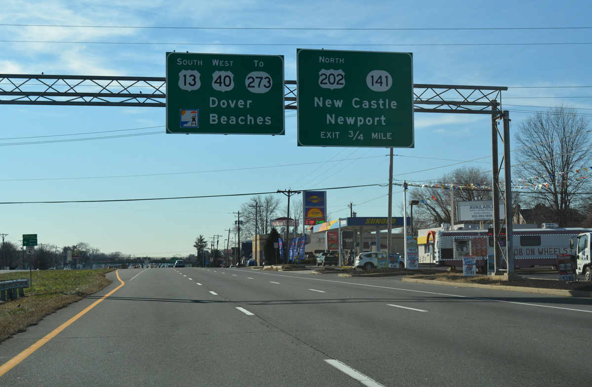
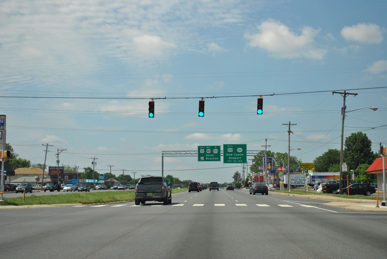
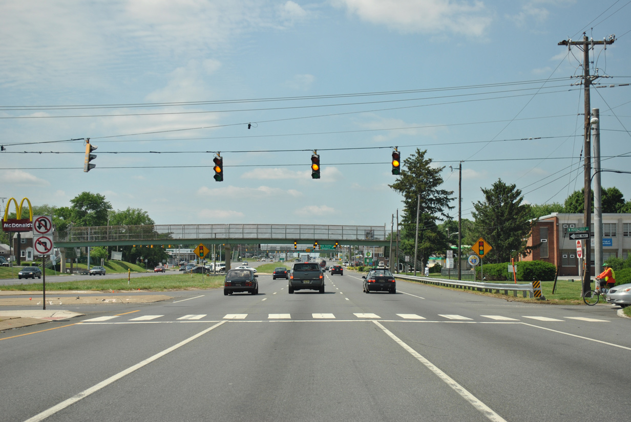
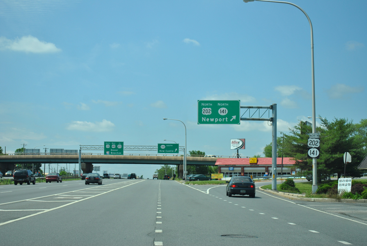
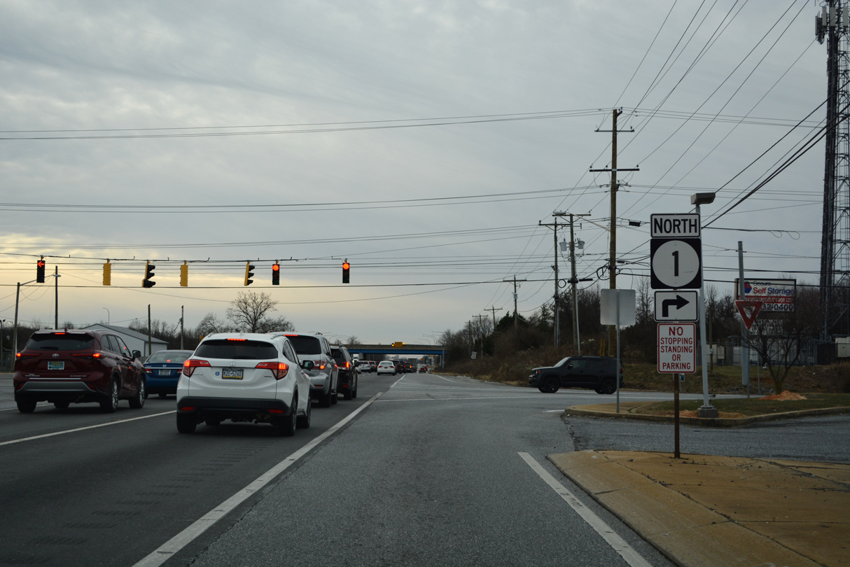
Dupont Parkway advances southwest 0.75 miles to a three quarter cloverleaf interchange with U.S. 202 north and SR 141 (Basin Road). U.S. 202 commences a 630 mile route from Basins Corner north to Bangor, Maine at the upcoming exchange.
12/20/16
A J-turn intersection connects Dupont Parkway with Wilmington Manor side streets from Franklin Avenue south to Harrison Avenue. Midway through the J-turn is a signal connecting Roosevelt Avenue east with Dupont Parkway north and U.S. 13 north with Roosevelt Avenue west.
06/02/12
A pedestrian overpass spans U.S. 13/40 at the J-turn for Roosevelt Avenue east at Stahl Avenue.
06/02/12
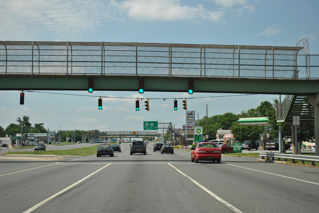
A collector distributor roadway for U.S. 202 and SR 141 (Basin Road) begins at the U.S. 13/40 intersection with Jackson Avenue. U.S. 202 was extended south from Wilmington to Basins Corner in 1984. The US highway overlaps with SR 141 north to I-95 and the Newport Freeway.
12/20/16
A second pedestrian overpass spans Dupont Parkway as U.S. 13/40 intersect Lincoln Avenue by the Penn Acres community.
12/20/16
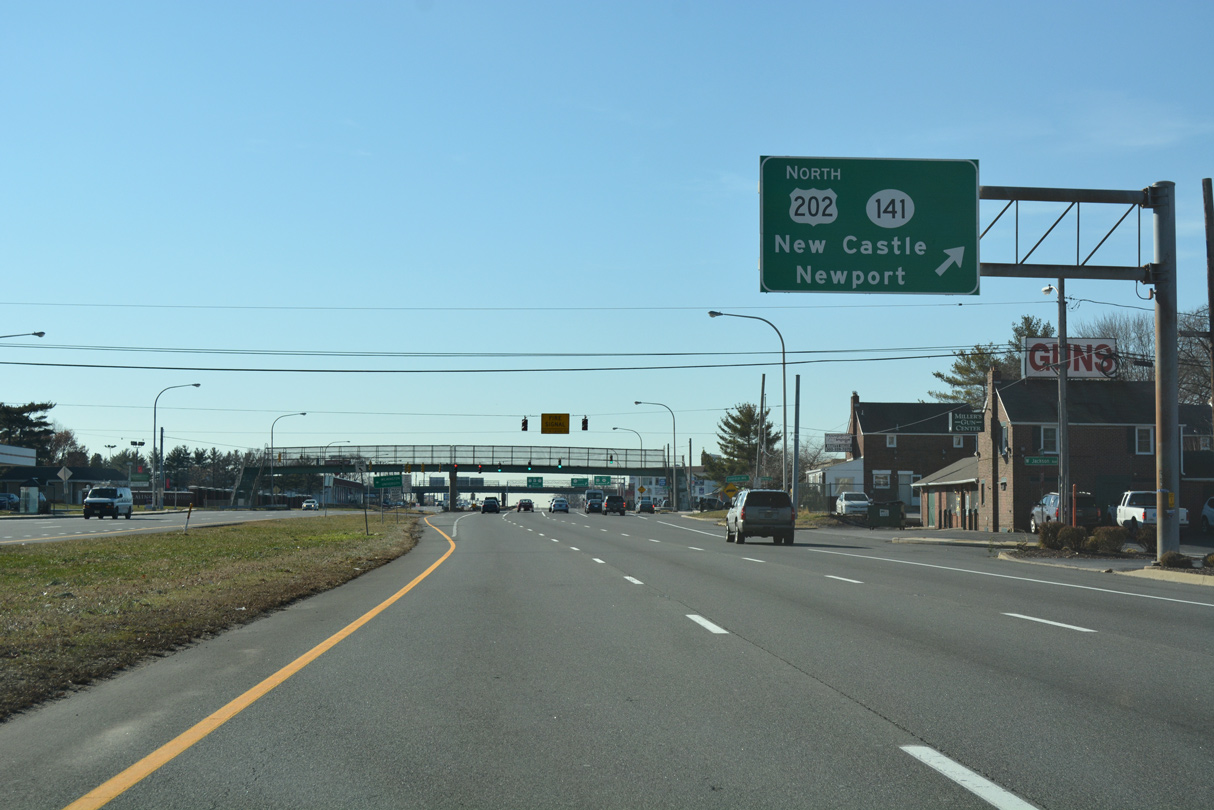
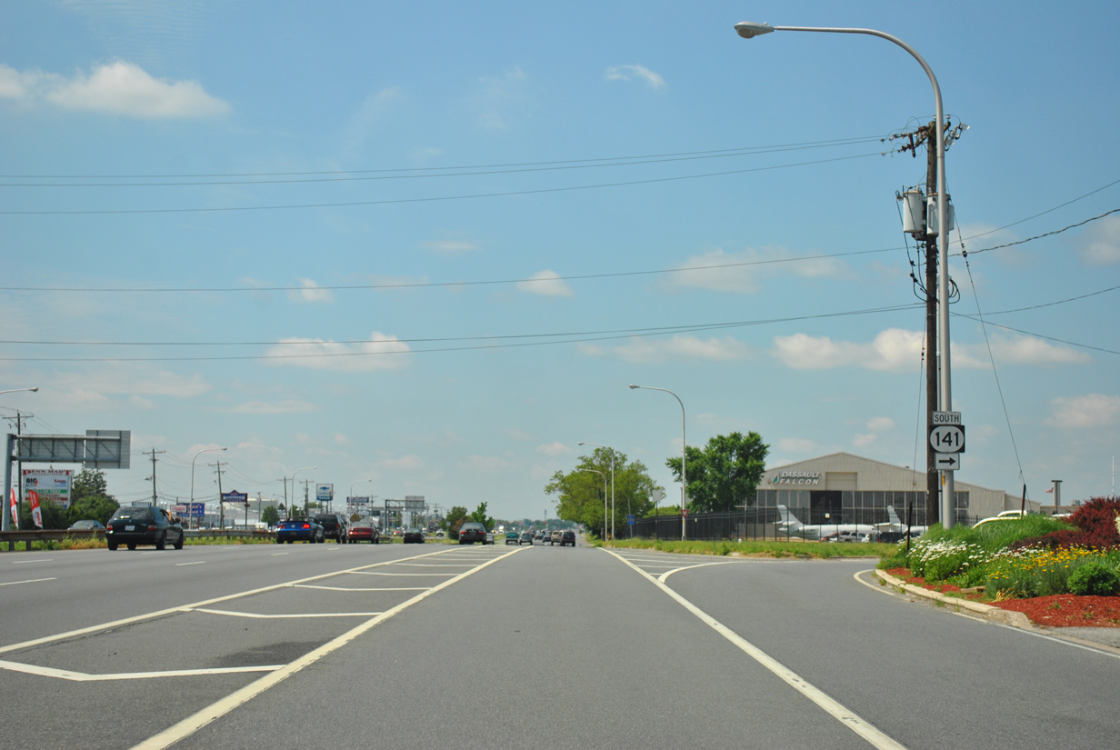
Three lanes continue through the exchange with U.S. 202 and SR 141 as the c/d roadway travels with two. Departing in this scene is the northbound off-ramp to Basin Road. SR 141 forms an 11.34 mile route encircling Wilmington from New Castle to Elsmere, Greenville and Blue Ball.
06/02/12
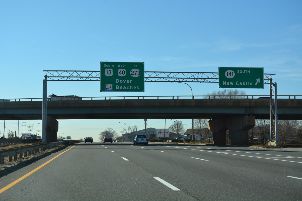
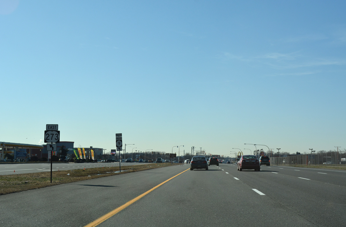
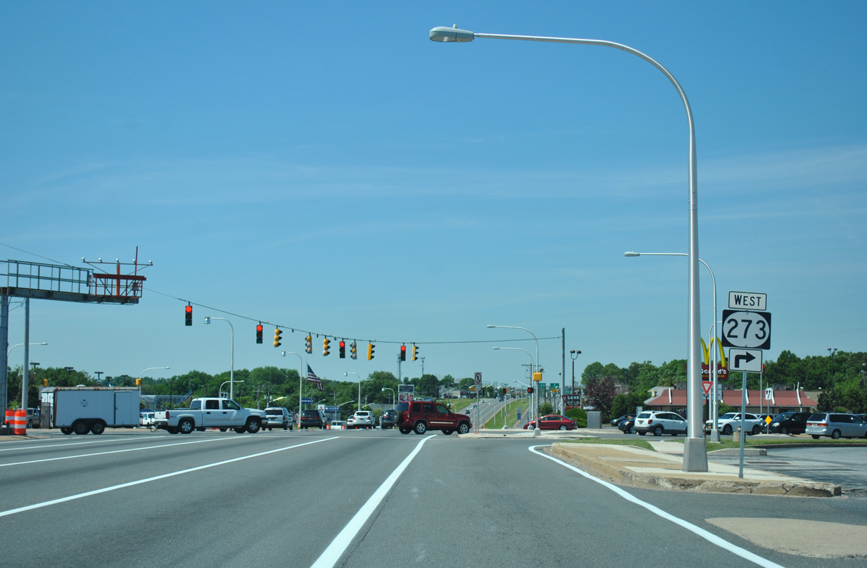
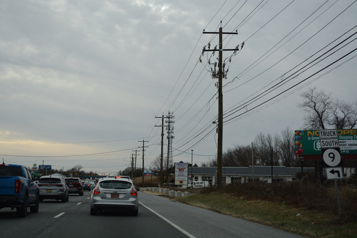
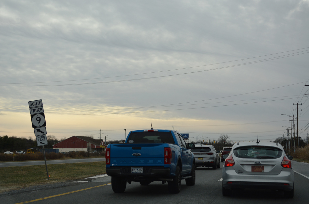
SR 141 ends 1.25 miles to the southeast at the junction of SR 9 (Delaware / Washington Street) and 273 (Frenchtown Road) west at the city of New Castle.
12/20/16
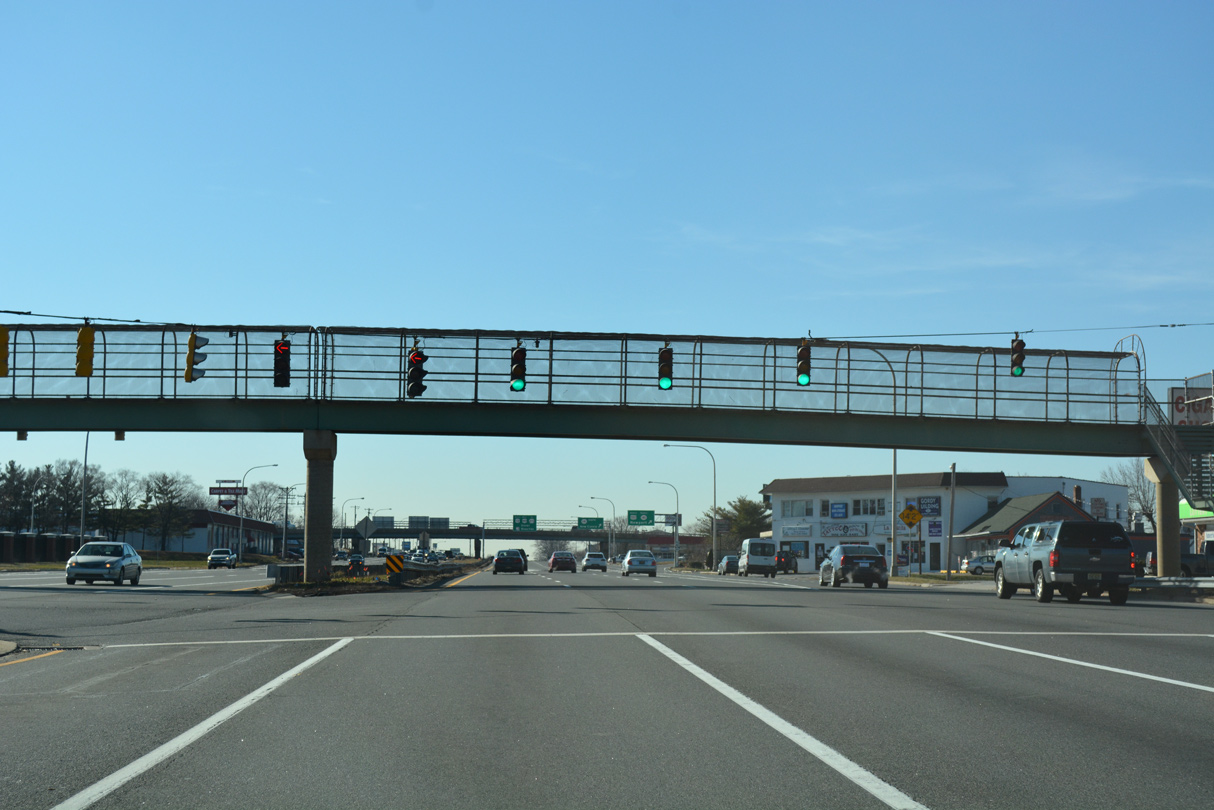
The antiquated cloverleaf interchange between U.S. 13, U.S. 40, U.S. 202 and SR 141 includes businesses located within the three loop ramps.
06/02/12
U.S. 13 south / U.S. 40 (Dupont Parkway) west intersect School Lane and an entrance to New Castle County Airport (ILG) at the next traffic light.
12/20/16
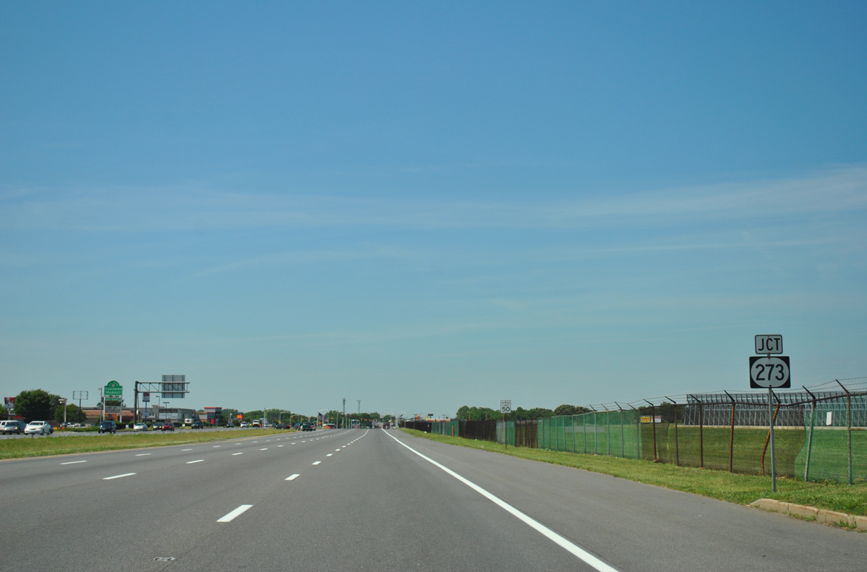
Dupont Highway expands to eight overall lanes from SR 141 southwest to the U.S. 13 and 40 split at State Road. SR 273 crosses paths with the highway midway along the stretch at Hares Corner.
06/16/12
SR 273 originates 1.3 miles to the east at New Castle and intersection of SR 9/141. The route formerly ended at Chestnut and 6th Streets in New Castle.
12/20/16
Runway lighting for New Castle County Airport (ILG) appears above the expansive intersection with SR 273 (Christiana / Frenchtown Road). SR 273 forms a multi state route with MD 273 west from Hares Corner to Christiana, Ogletown, Newark and Rising Sun, Maryland.
The SR 273 marker here was removed by October 2012.
06/16/12
U.S. 13 south / U.S. 40 (Dupont Highway) west advance from SR 273 and Hares Corner along a commercialized stretch with J-turns.
12/20/16
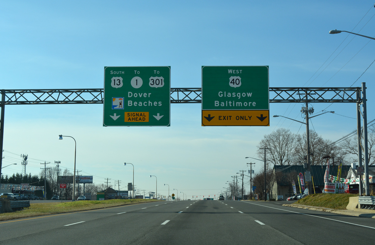
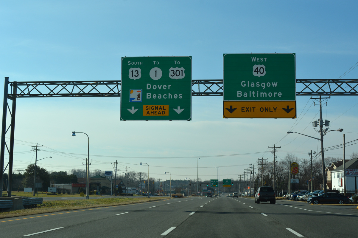
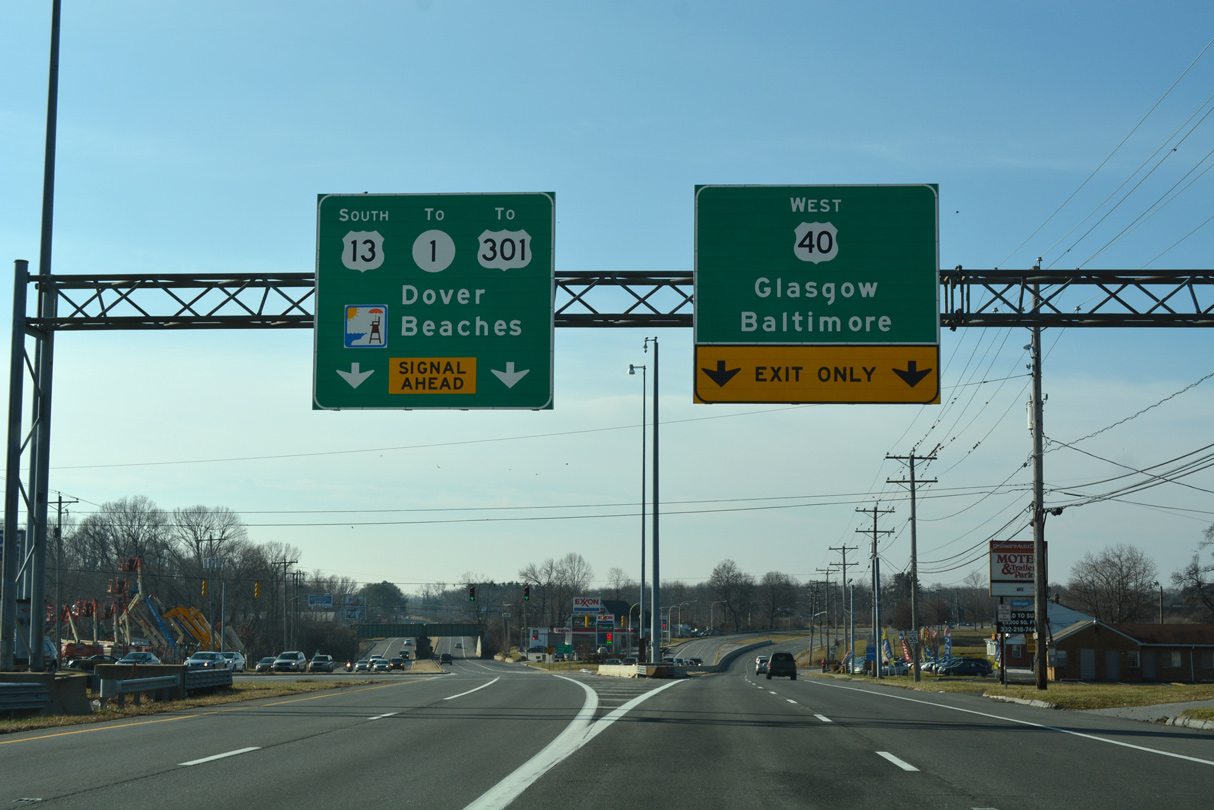
A series of sign bridges precede the split of U.S. 40 west from U.S. 13 south at State Road. U.S. 40 branches west along Pulaski Highway to Bear and Glasgow while U.S. 13 remains southward on Dupont Highway to Tybouts Corner and the SR 1 freeway.
01/15/17
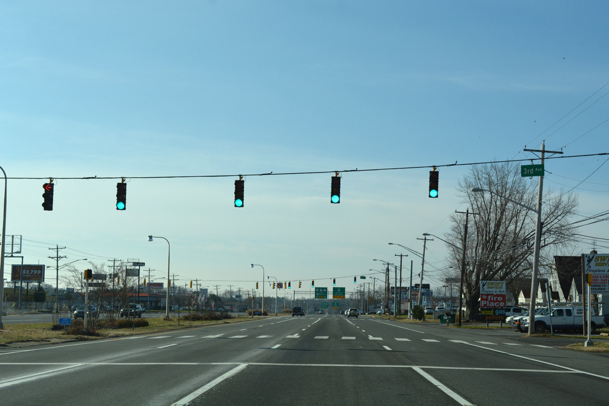
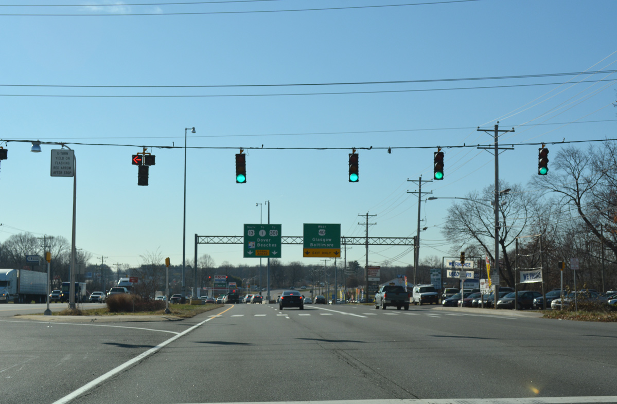
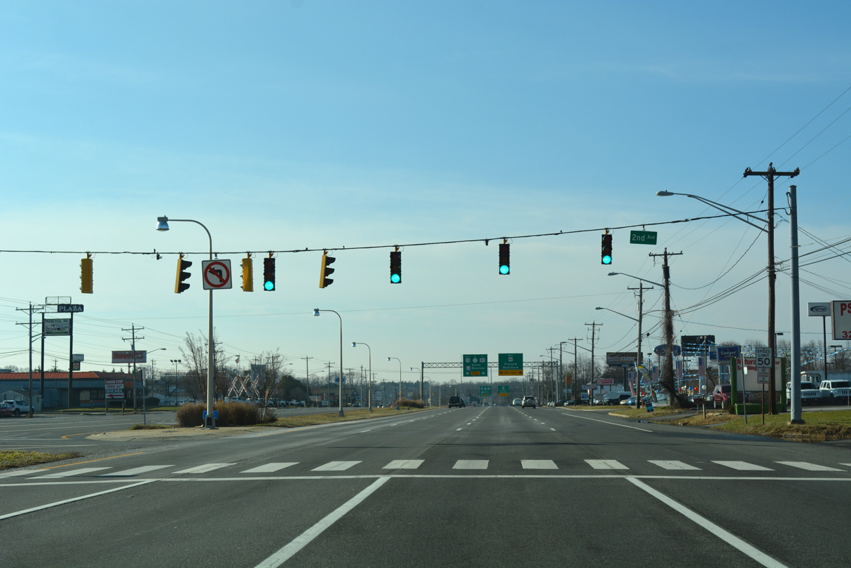
A small street grid lines the west side of Dupont Highway at the Midvale community. J-turns are located at 3rd and 2nd Avenues.
01/15/17
Prior to 1993, U.S. 301 followed U.S. 13 south from Farnhurst to Boyds Corner. The route was relocated then to begin in Glasgow and follow SR 896 south from U.S. 40 to Middletown.
01/15/17
Another J-turn precedes the U.S. 13 (Dupont Highway) split with U.S. 40 (Pulaski Highway) west.
12/20/16
Pulaski Highway carries U.S. 40 west from State Road to Baltimore, Maryland. Heavy suburban development lines the arterial west to Elkton, Maryland.
01/15/17
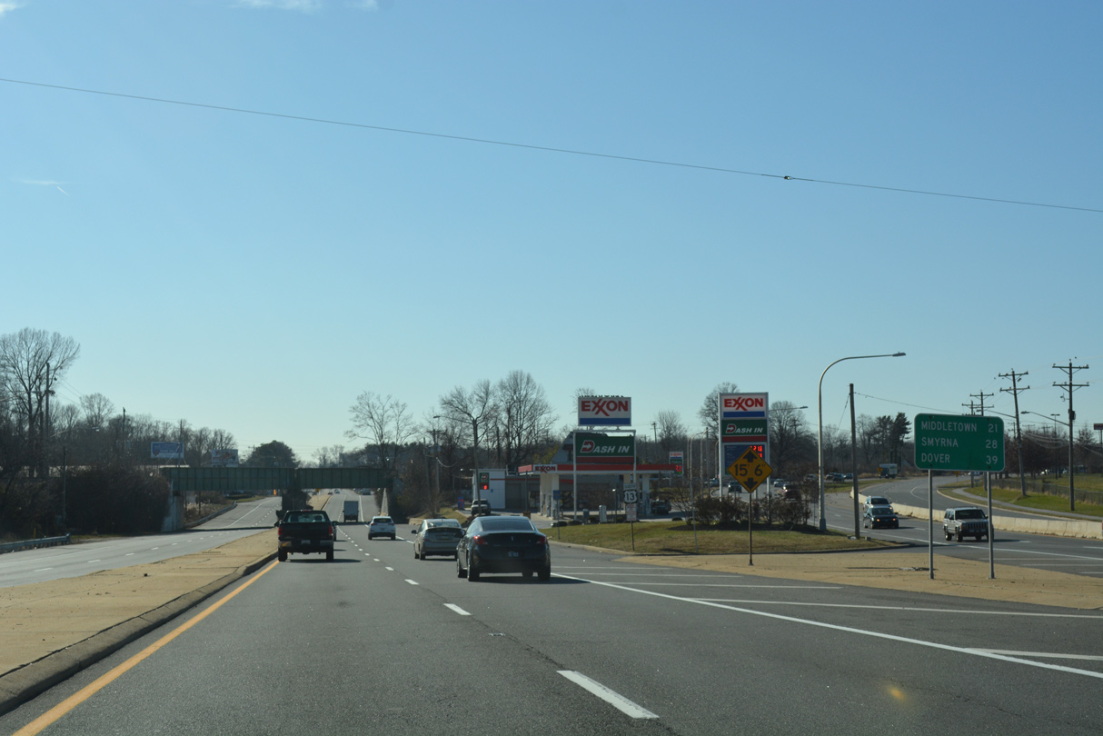
Distance sign posted for U.S. 13 south at State Road. Smyrna and Dover lie 28 and 39 miles to the south along U.S. 13 respectively. Middletown (21 miles) remains referenced from when U.S. 301 overlapped with U.S. 13 to Boyds Corner.
12/20/16
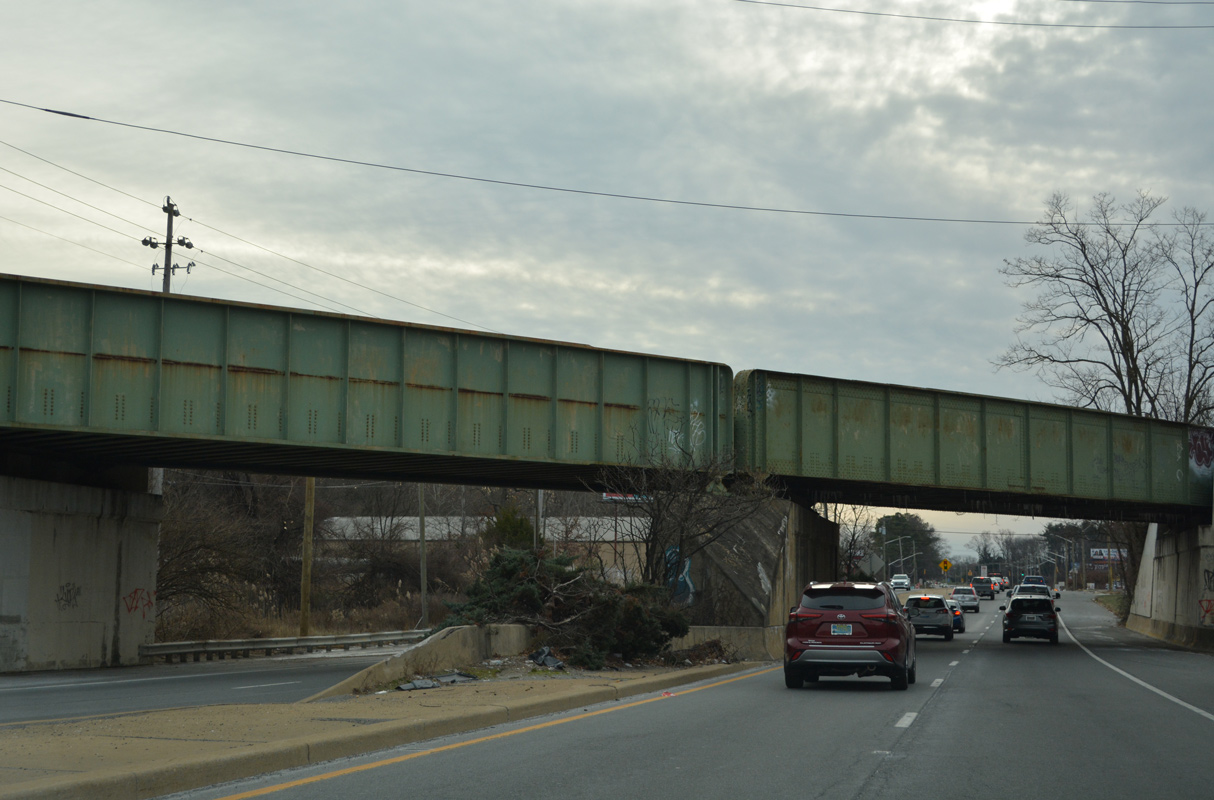
U.S. 13 (Dupont Highway) passes under a Norfolk Southern Railroad line just beyond the separation with U.S. 40 (Pulaski Highway).
12/26/22
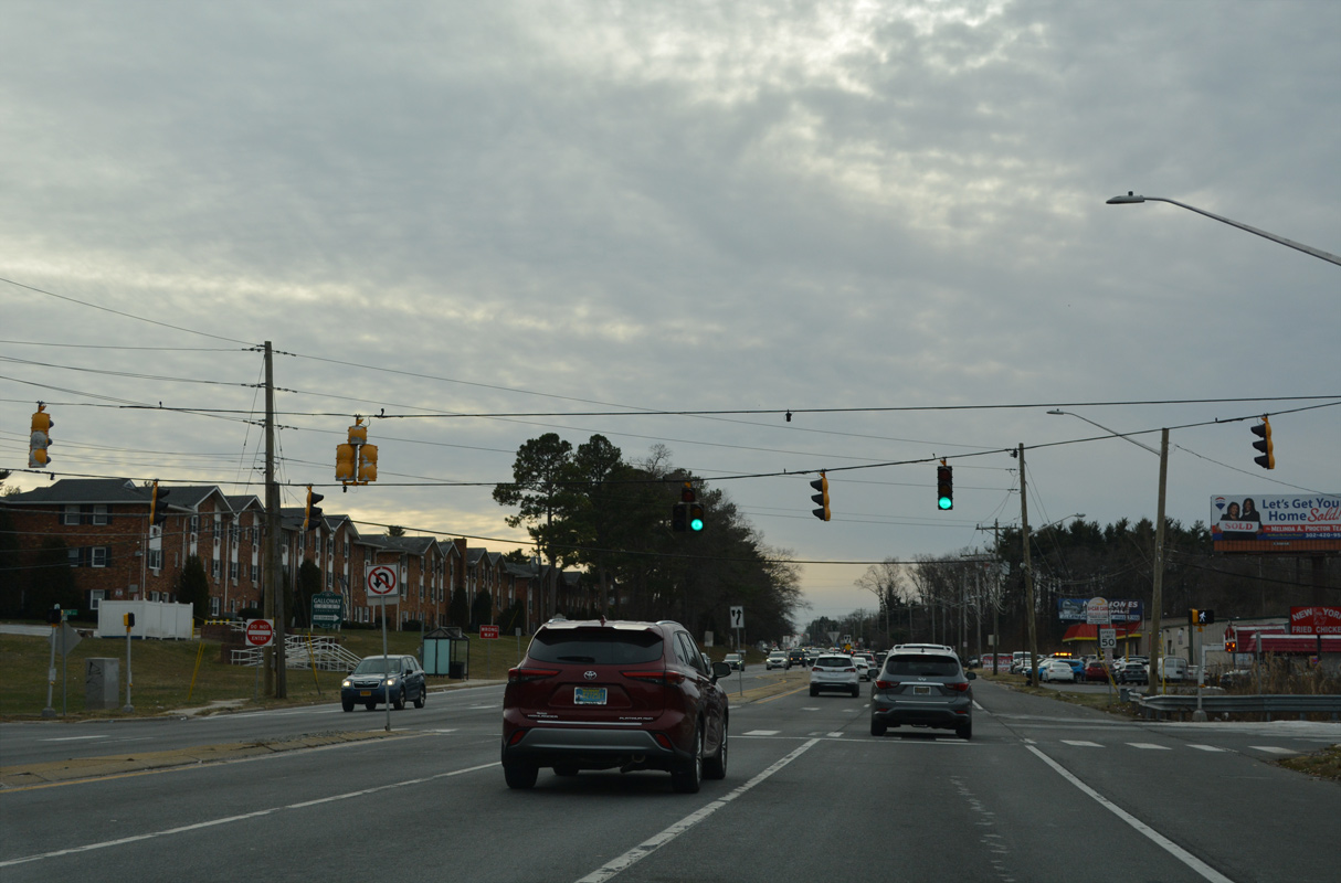
Llangollen Boulevard intersects U.S. 13 south from nearby Old State Road. East of Dupont Highway, the boulevard comprises the main route into the Llangollen Estates street grid.
12/26/22
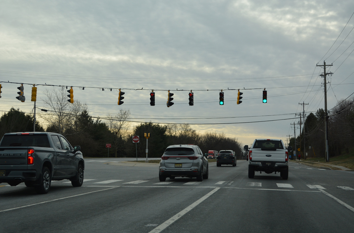
Mallard Road and Saienni Boulevard come together at the ensuing southbound signal on U.S. 13. The Mallard Point subdivision lies to the west while Saienni Boulevard weaves through the Castlebrook Apartment community and adjacent neighborhoods to SR 9 (River Road).
12/26/22
U.S. 13 passes between the Buena Vista State Conference Center and a quarry leading south from Federal School Lane.
12/26/22
U.S. 13 (Dupont Parkway) intersects Bear Road (Road 381) west and Hamburg Road east ahead of the trumpet interchange with SR 1.
12/26/22
The truck route for SR 9 rejoins SR 9 (River Road) 0.65 miles east from U.S. 13 via Hamburg Road (Road 381).
12/26/22
The northbound entrance ramp to SR 1 departs from Bear Road nearby, as the local road becomes Springfields Boulevard northwest to SR 7 at Bear.
12/26/22
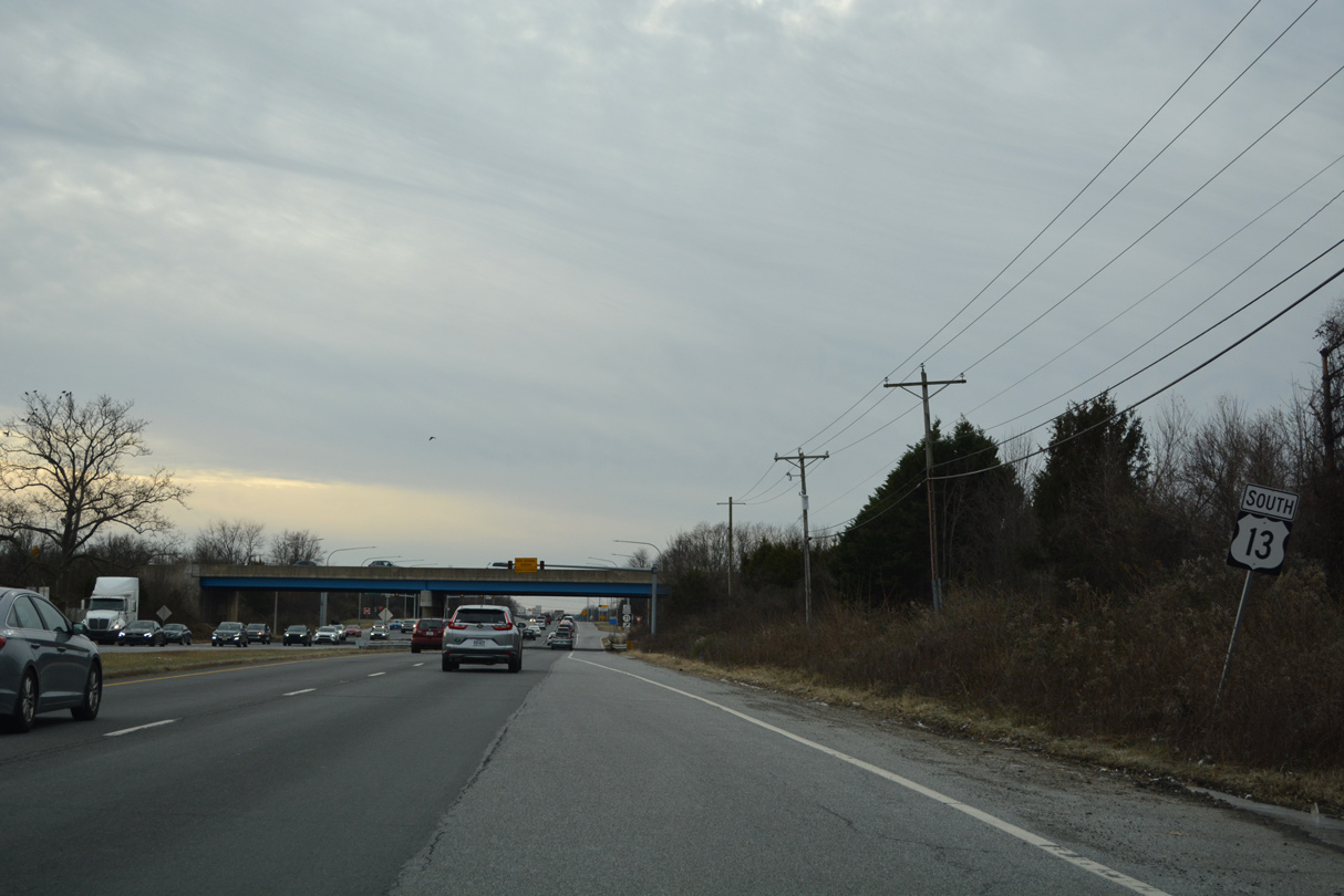
Reassurance marker for U.S. 13 posted ahead of the SR 1 overpasses and intersection with SR 71 (Red Lion Road).
12/26/22
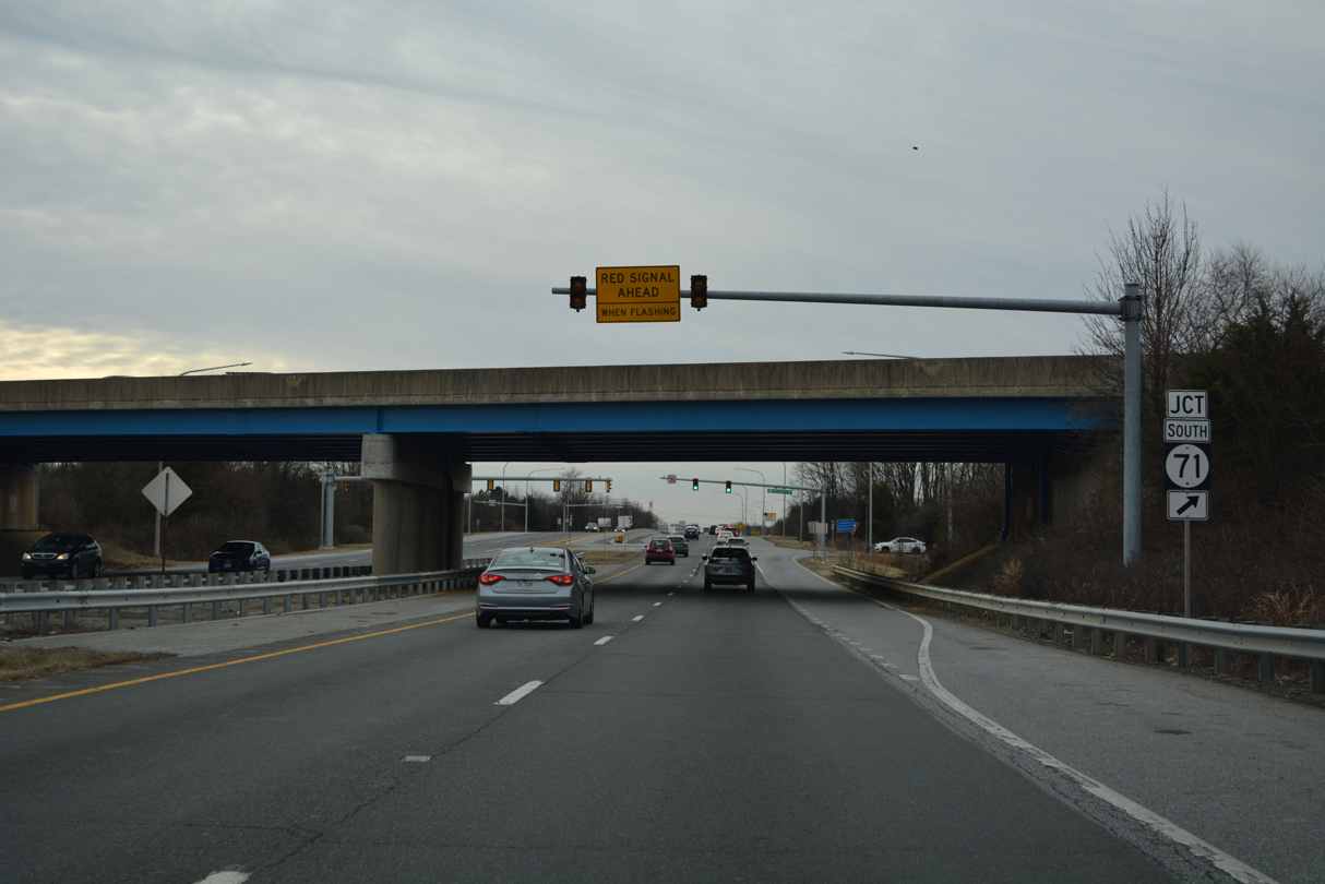
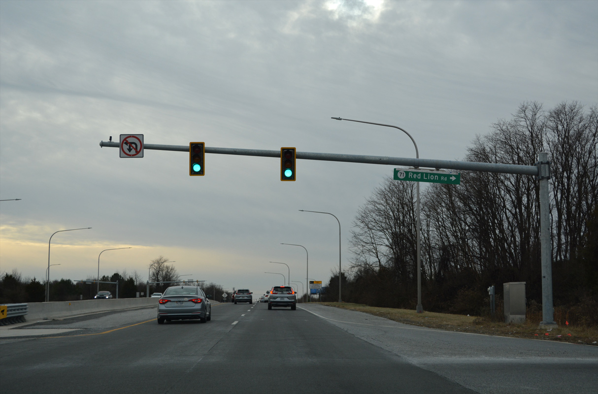
SR 71 branches southwest from U.S. 13 (Dupont Highway) at Tybouts Corner to Red Lion, Kirkwood and Lums Pond State Park.
12/26/22
SR 71 combines with SR 896 across the Summit Bridge and returns to U.S. 13 south of Townsend.
12/26/22

 South
South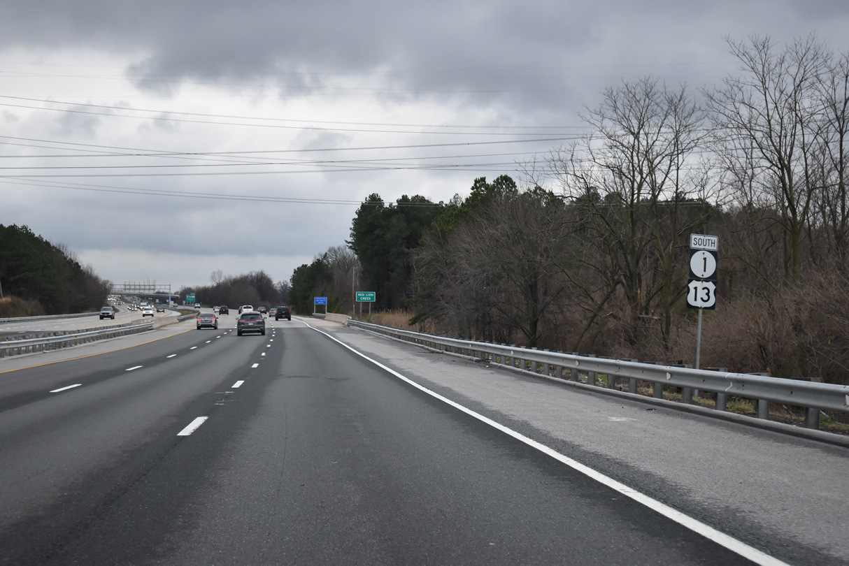
U.S. 13 and SR 1 advance south from Tybouts Corner across Red Lion Creek.
12/25/20
A section of old Dupont Highway appears to the west of the U.S. 13/SR 1 beyond Red Lion Creek. Old U.S. 13 (Rd 406A) connects parallels the freeway between Governor Lea Road (Rd 5B) and Lower Twin Lane Road (Rd 406) near Corbitt.
06/18/12
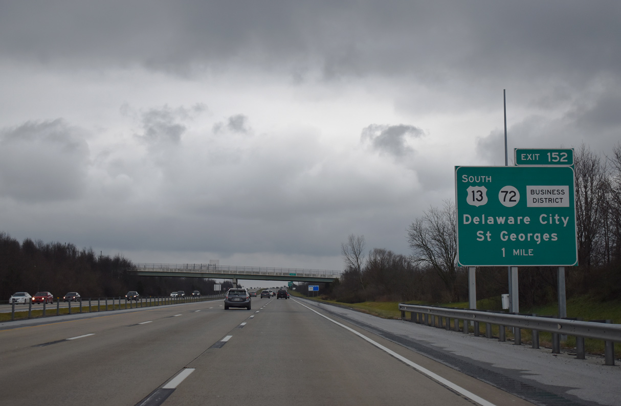
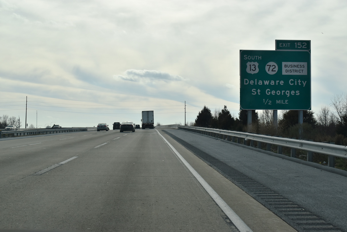
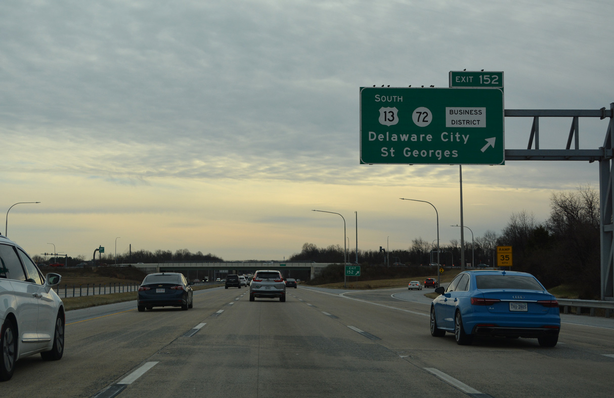
U.S. 13 rejoins Dupont Highway east from Exit 152 along SR 72 (Wrangle Hill Road).
12/25/20
U.S. 13/SR 1 cross over SR 7 (S Dupont Highway) and a Norfolk Southern Railroad line ahead of the DDI (Exit 152) with SR 72 (Wrangle Hill Road).
12/30/18
U.S. 13 overlaps with SR 72 for 0.25 miles east to Dupont Highway at Wrangle Hill. SR 72 arcs northwest from SR 1 to Williamsburg and Newark.
12/26/22
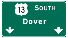
Photo Credits:
- Alex Nitzman: 08/07/04, 09/19/04, 06/02/12, 06/16/12, 06/18/12, 12/20/16, 01/15/17, 12/30/18, 01/01/19, 12/25/20, 12/26/22
Connect with:
Page Updated Wednesday January 07, 2026.