
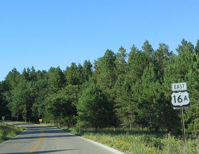
U.S. 16 Alternate
Alternate U.S. 16 runs from Custer east to Custer State Park and north from there to Mount Rushmore National Memorial and the town of Keystone.
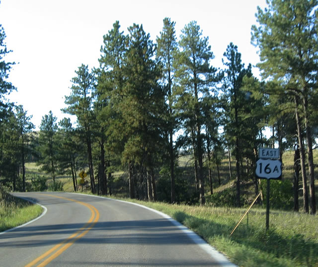
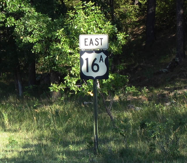
 East
East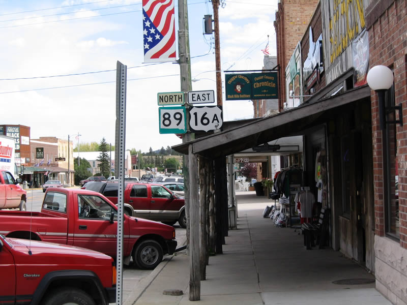
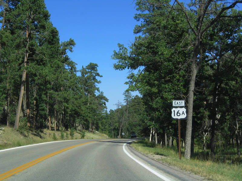
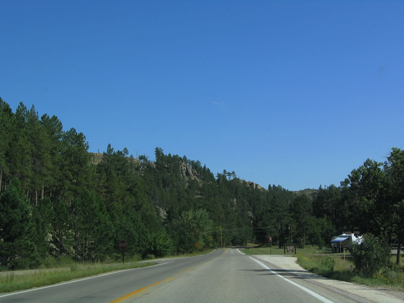
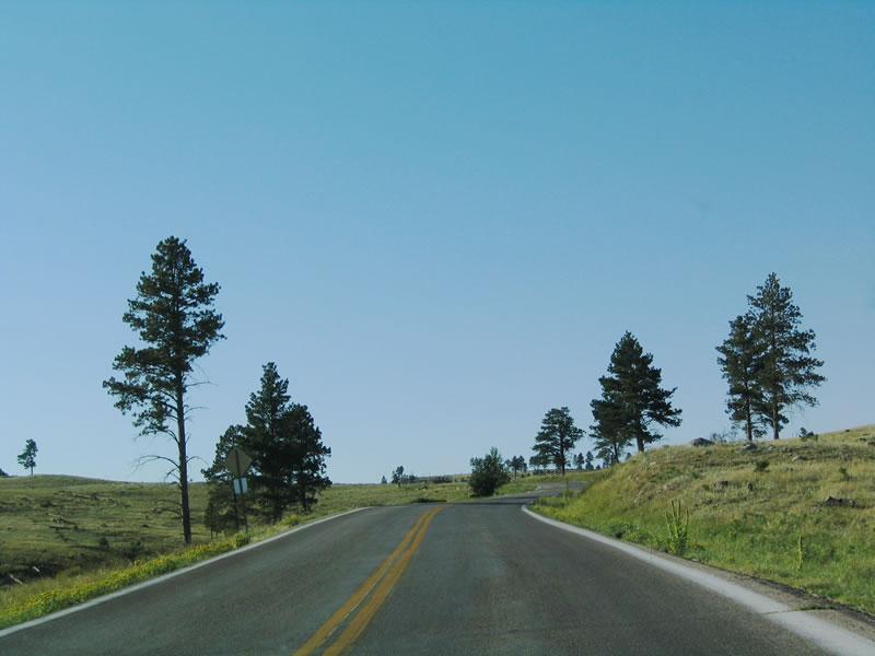
U.S. 16A begins commences eastbound in Custer, the seat of Custer County. U.S. 16A initially overlaps with SD 89 for 0.8 miles.
09/03/04
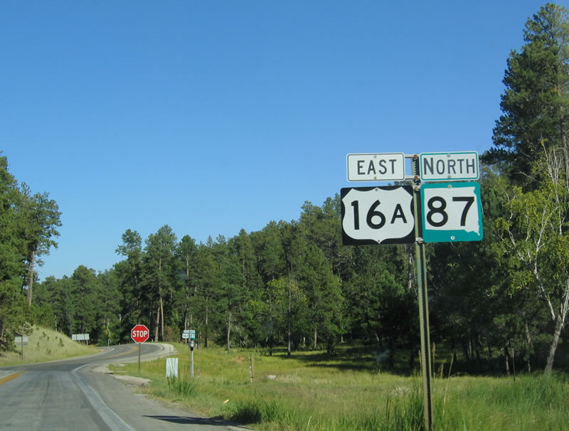
U.S. 16A/SD 87 overlap for a short distance. The 111 mile Centennial Trail, which connects Wind Cave National Park and Bear Butte State Park near Sturgis, passes near this intersection.
09/03/04
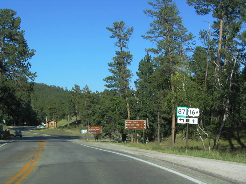
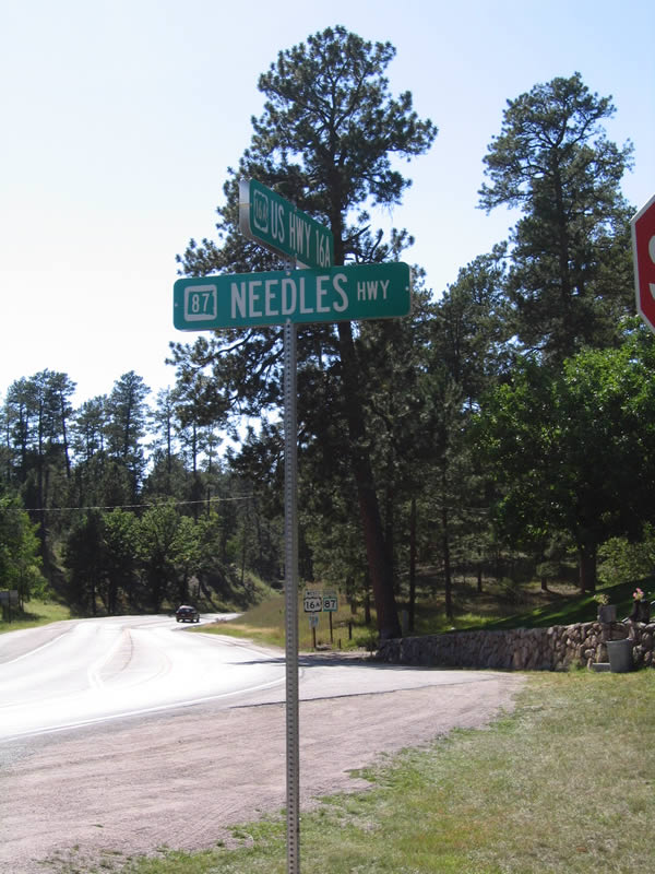
U.S. 16A and South Dakota 87 split only a mile or so east of the previous intersection. South Dakota 87 turns north onto the Needles Highway, while U.S. 16A travels east toward the State Game Lodge.
09/03/04
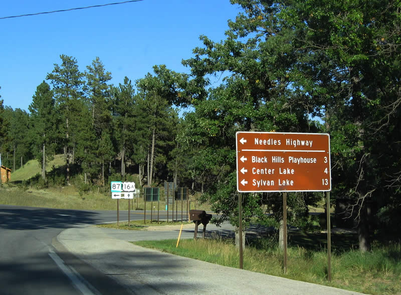
SD 87 (Needles Highway) leads north to Center Lake, Sylvan Lake and the Black Hills Playhouse.
09/03/04
East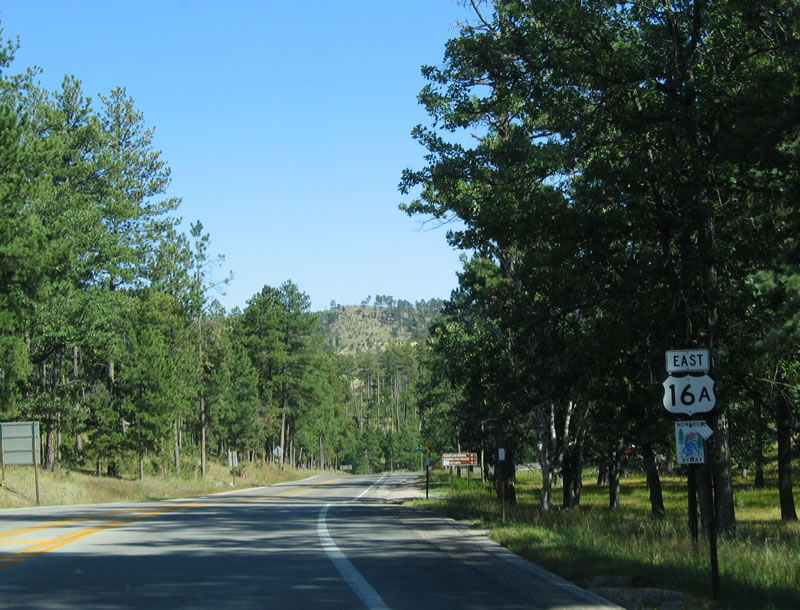
U.S. 16A, along with SD 87, SD 89 and SD 244, form the Peter Norbeck Scenic Byway. Peter Norbeck, a former governor of South Dakota, was a champion for conserving the Black Hills, and now the scenic state highways through Custer State Park are named for him.
09/03/04
Another U.S. 16A shield is posted along eastbound after the South Dakota 87 intersection.
09/03/04
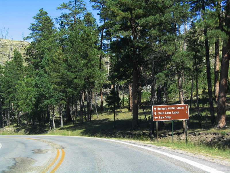
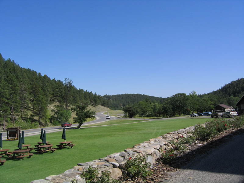
At this intersection, continue straight ahead to Norbeck Visitor Center and State Game Lodge, three miles east of here. To the north is the park shop.
09/03/04
Continuing east, U.S. 16A reaches the Norbeck Visitor Center and State Game Lodge. Built in 1920, the State Game Lodge is a fully functioning lodge for park visitors. The lodge gained notoriety in 1927, when the State Game Lodge served as the "Summer White House" for President Calvin Coolidge.
09/03/04
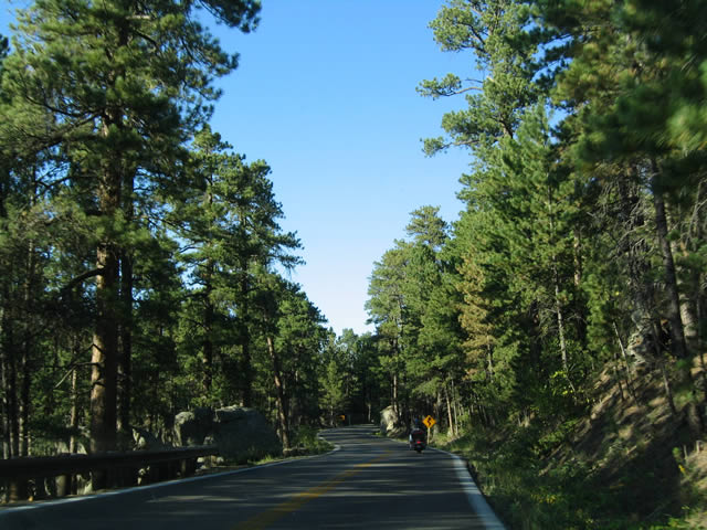
U.S. 16A eastbound beyond Custer State Park lodge.
09/03/04
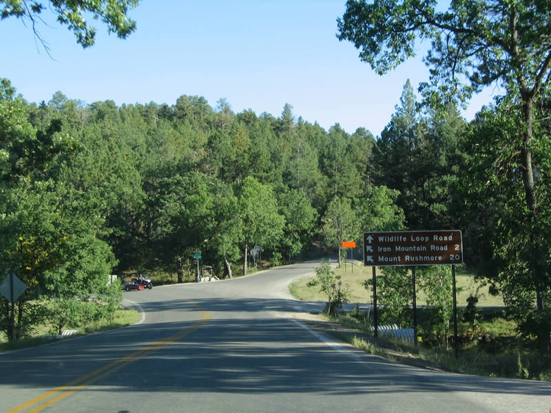
Continuing east, U.S. 16A approaches the 18 mile Wildlife Loop Road, which travels south and west through the southern parts of Custer State Park before connecting to South Dakota 87.
09/03/04
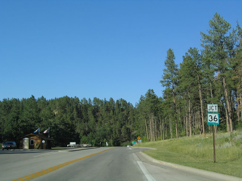
U.S. 16A next intersects South Dakota 36, which travels toward Hermosa and the Heartland Expressway (South Dakota 79).
09/03/04
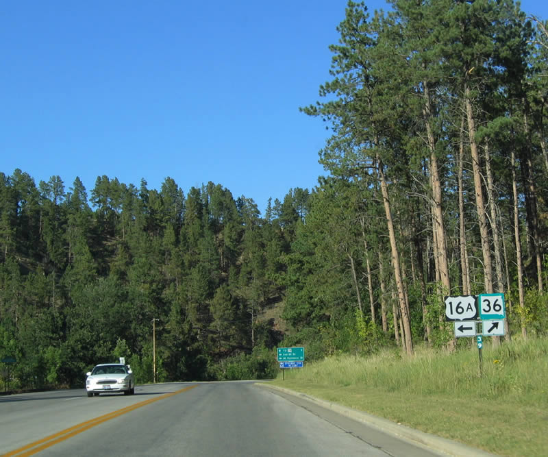
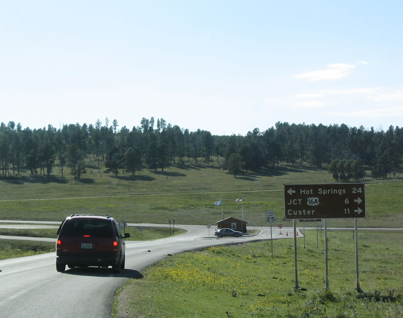
Nearing milepost 39, U.S. 16A and South Dakota 36 prepare to split, with U.S. 16A turning north toward Keystone and South Dakota 36 turning east toward Hermosa.
09/03/04
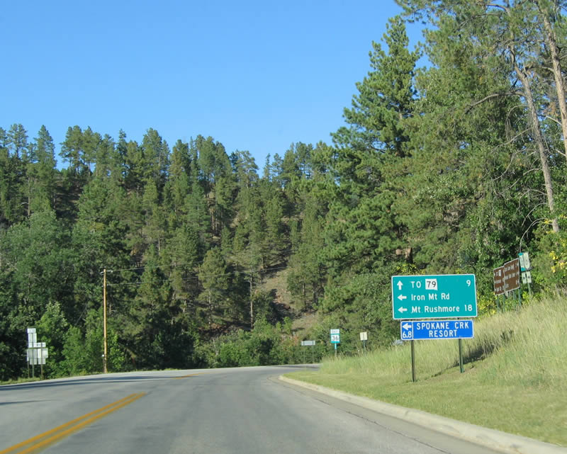
South Dakota 79 is about nine miles east of here via South Dakota 36. Turn left to continue north on U.S. 16A via Iron Mountain Road to Mount Rushmore National Memorial and Keystone.
09/03/04
This shield for U.S. 16 is posted immediately after the South Dakota 36 intersection in Custer State Park.
09/03/04
Built in 1933, the Iron Mountain Road provides an extremely scenic route from Keystone south into Custer State Park. The highway was built to minimize impact to the land, and specific tunnel and bridge designs were used to ensure this. Views of Mount Rushmore are paramount along the route, and they are often framed by trees, tunnel entrances and other views.
09/03/04
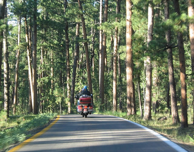
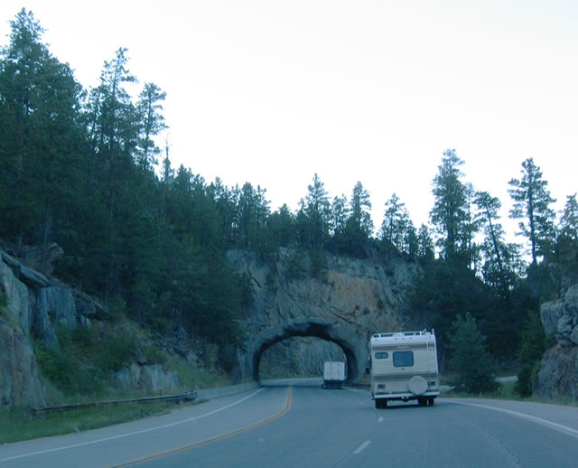
Another U.S. 16A shield is posted here. This section of Iron Mountain Road is much easier to drive than the section that leads downhill toward Keystone and Mount Rushmore National Memorial. As part of the downgrade, U.S. 16A will use three tunnels and two "pigtail" bridges.
09/03/04
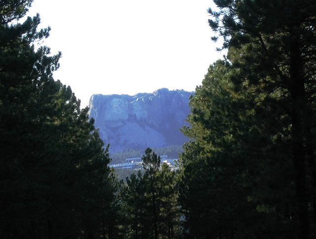
Upon exiting a particularly long tunnel along U.S. 16A, the "famous faces" of Mount Rushmore come into view through the trees. Mount Rushmore is still several miles north of here, and Iron Mountain Road takes many curves and twists to get to its destination.
09/03/04
Certain sections of U.S. 16A (Iron Mountain Road) split into two one way segments, allowing for an extra-wide median.
09/03/04
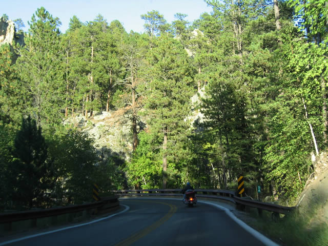
Other sections of the highway remain narrow, passing alongside hillsides in steep, rocky terrain.
09/03/04
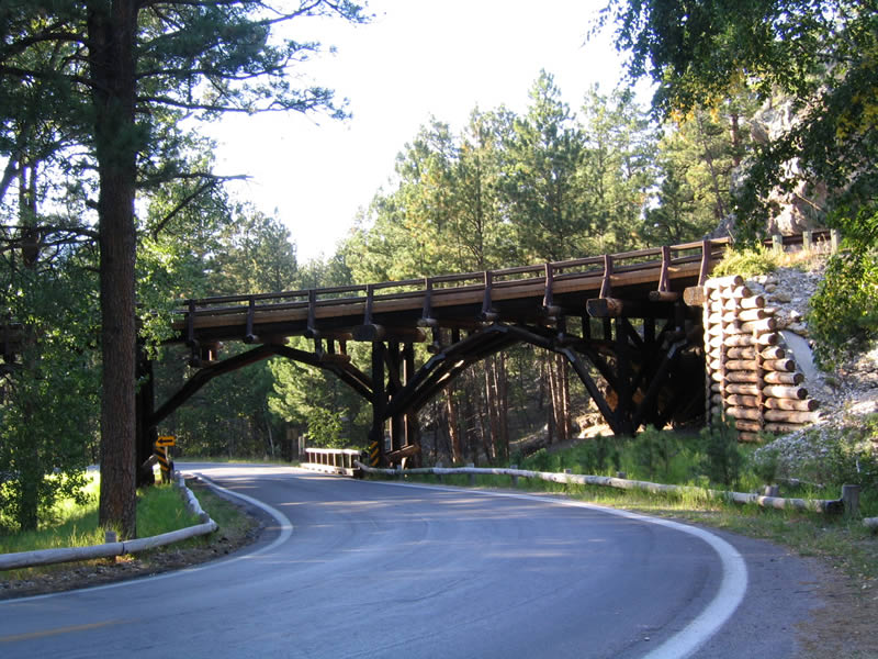
U.S. 16A approaches a "pigtail" bridge, where the highway passes over itself, then turns 270 degrees to pass under the bridge.
09/03/04
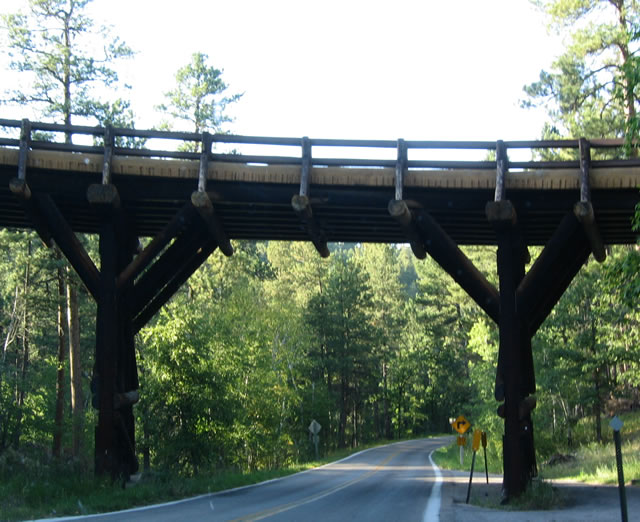
Continuing around the bend from the previous photograph, U.S. 16A northbound wraps around itself and passes under the bridge shown above. Note the use of wooden arches to support the bridge.
09/03/04
Passing through another pigtail bridge is this understructure, which does not feature wooden arches. After the second pigtail bridge, the highway straightens out a bit as it approaches Mount Rushmore National Memorial.
09/03/04
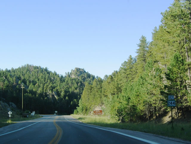
Northbound U.S. 16A/Iron Mountain Road approaches its junction with South Dakota 244, an east-west route that connects U.S. 16A near Keystone with U.S. 16 near the northern terminus of the Needles Highway (South Dakota 87).
09/03/04
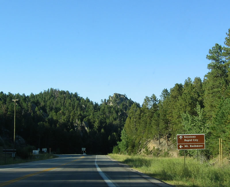
To Mount Rushmore National Memorial, follow South Dakota 244 west to the parking area. Continue straight ahead on U.S. 16A to Keystone.
09/03/04
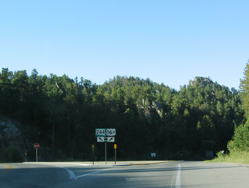
Turn left here to westbound South Dakota 244; turn right to continue on northbound U.S. 16A.
09/03/04
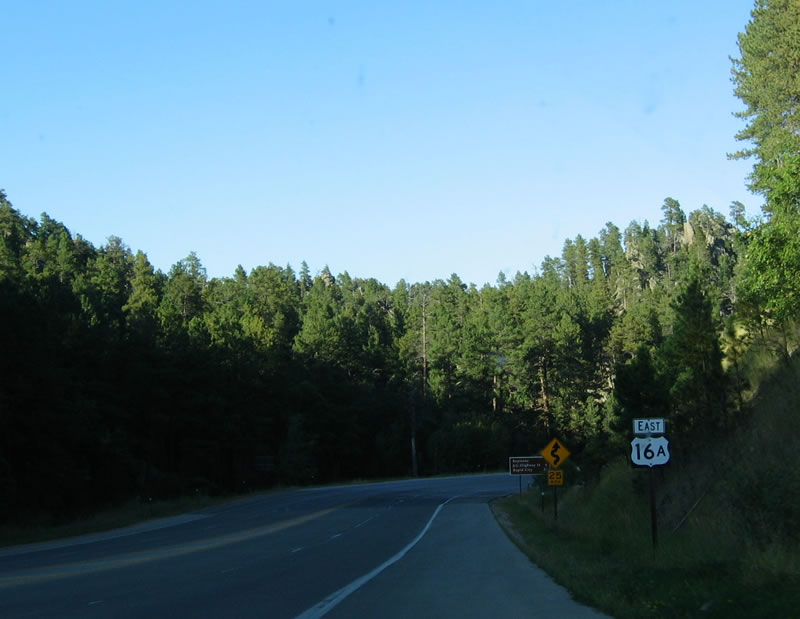
After the South Dakota 244 intersection, U.S. 16A continues north toward the town of Keystone.
09/03/04
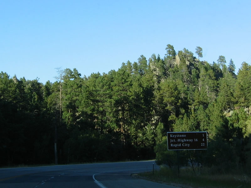
A brown recreational sign provides mileage to Keystone (one mile), U.S. 16 (four miles) and Rapid City (22 miles).
09/03/04
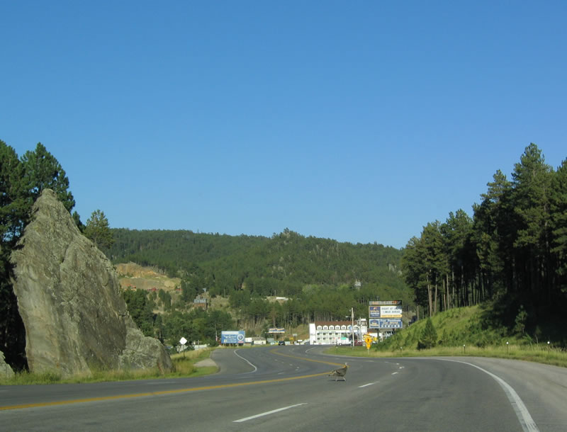
A turkey crosses the road as U.S. 16A northbound enters the town of Keystone.
09/03/04
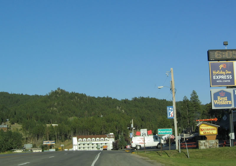
The "Home of Mount Rushmore," Keystone provides lodging, shopping and eating establishments near Mount Rushmore National Memorial, Black Hills and Custer State Park.
09/03/04
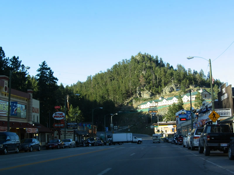
Tourist attractions and motels line U.S. 16A as the highway passes through Downtown Keystone. The town has its history based in gold mining, but mining was largely completed by the turn of the 20th Century. However, the carving of Mount Rushmore between 1927 and 1941 brought workers to Keystone. Even with the arrival of the railroad, the town was beset by tragedy, with a series of fires in 1908, 1917, 1921 and 1937. In 1972, the railroad was destroyed by a flood and only partially rebuilt.
09/03/04
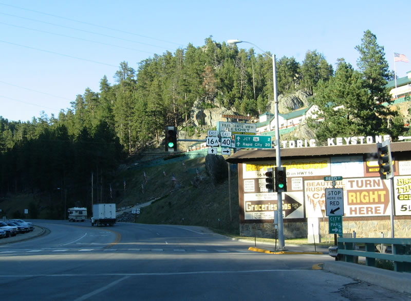
Just north of Downtown Keystone, U.S. 16A approaches its junction with South Dakota 40. This east-west highway travels east to Hayward, then south to Hermosa and Red Shirt before entering the Pine Ridge Indian Reservation.
09/03/04
North of Keystone, a large rock cut serves as a tunnel carrying three lanes of U.S. 16A northbound out of Keystone and toward its final junction with U.S. 16.
09/03/04
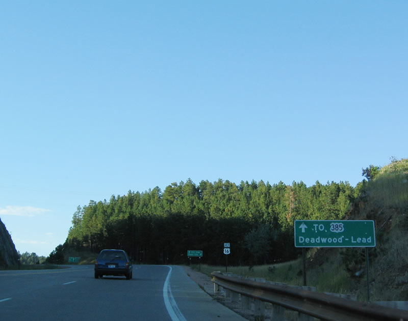
This sign advises motorists en route to Lead and Deadwood via U.S. 385 to continue straight ahead on U.S. 16A.
09/03/04
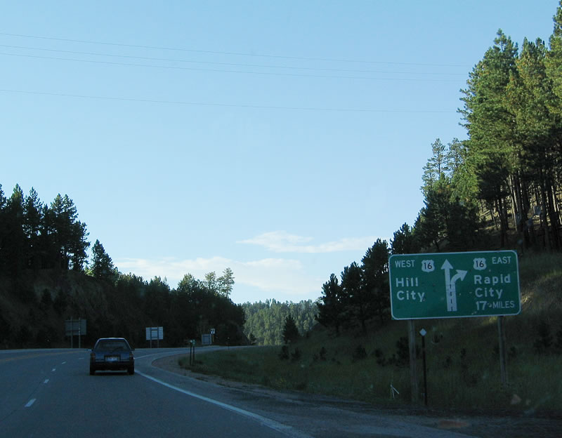
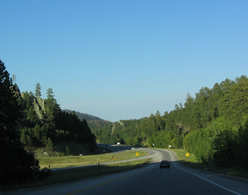
The northern terminus of U.S. 16A is an interchange with U.S. 16. The left lane connects to westbound U.S. 16 en route to Hill City and U.S. 385, while the right lane transitions onto eastbound U.S. 16, which travels north toward Rapid City.
09/03/04
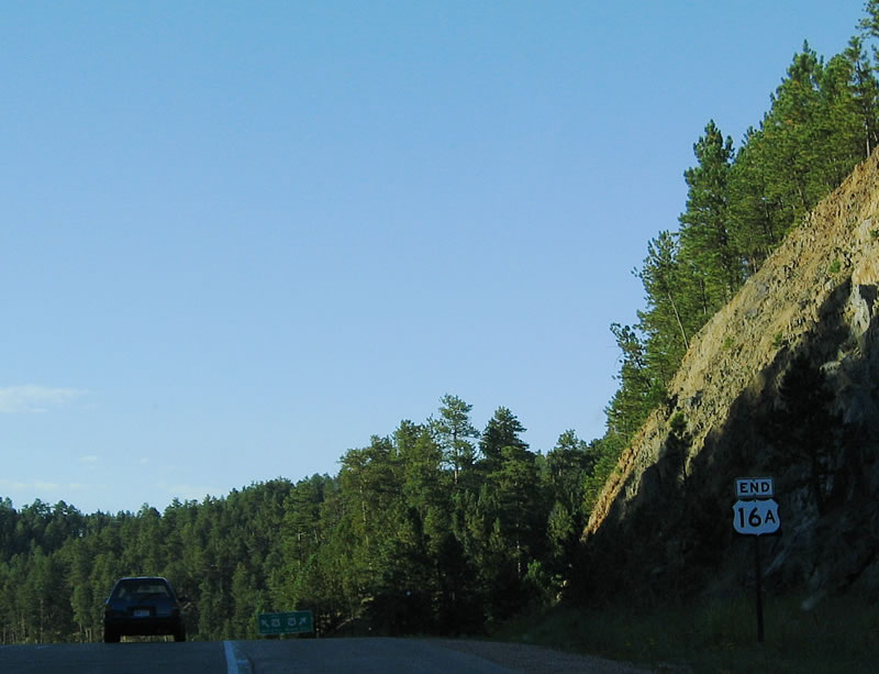
Now on a hill prior to the U.S. 16 interchange, the end of U.S. 16A is signed.
09/03/04
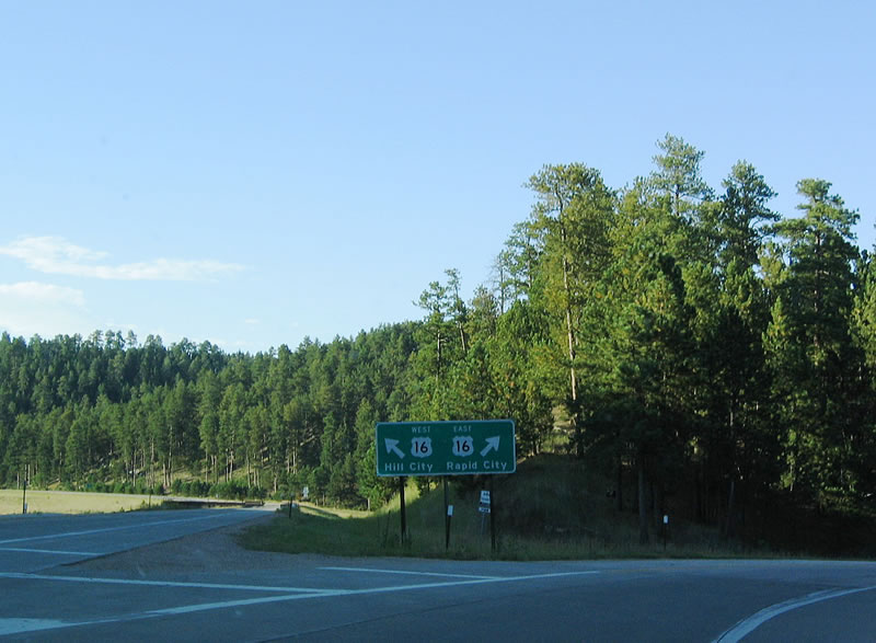
U.S. 16A splits, with the left lane traveling west to Hill City and the right lane connecting to U.S. 16 north to Rapid City.
09/03/04
This view shows the transition from northbound U.S. 16A to U.S. 16 north to Rapid City.
09/03/04
West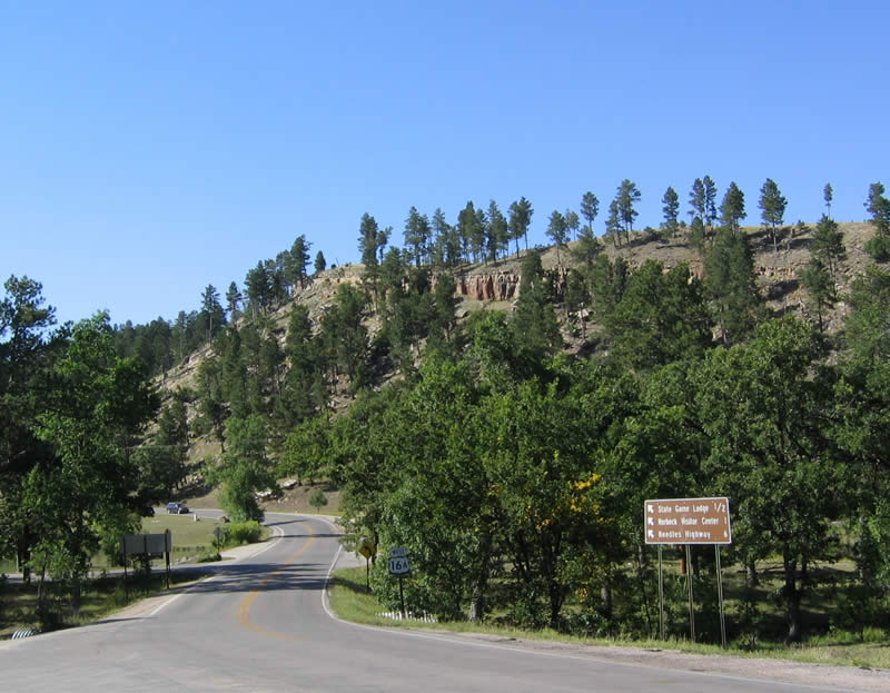
This distance sign is located near the northern end of the Wildlife Loop Road, just prior to the State Game Lodge.
09/03/04
Now at the Needles Highway intersection, U.S. 16A west meets South Dakota 87 north. The two routes continue west briefly before South Dakota 87 turns south again toward Hot Springs.
09/03/04
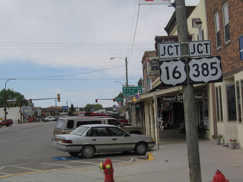
Now entering the city of Custer, U.S. 16A westbound approaches its end at the junction with U.S. 16-385. U.S. 16A and South Dakota 89 southbound are cosigned through here.
09/03/04

The end of U.S. 16A is signed on a telephone pole above the awnings of the adjacent shops in Downtown Custer.
09/03/04
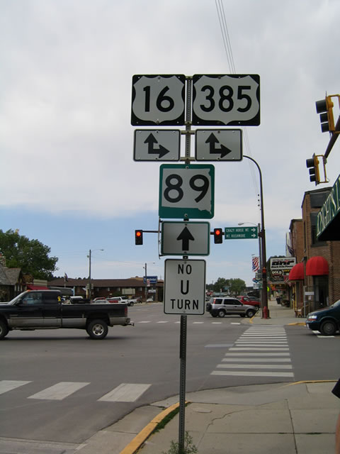
South Dakota 89 continues west along U.S. 16-385 briefly in Custer; once the routes divide, U.S. 385 travels south toward Sanator and Pringle.
09/03/04
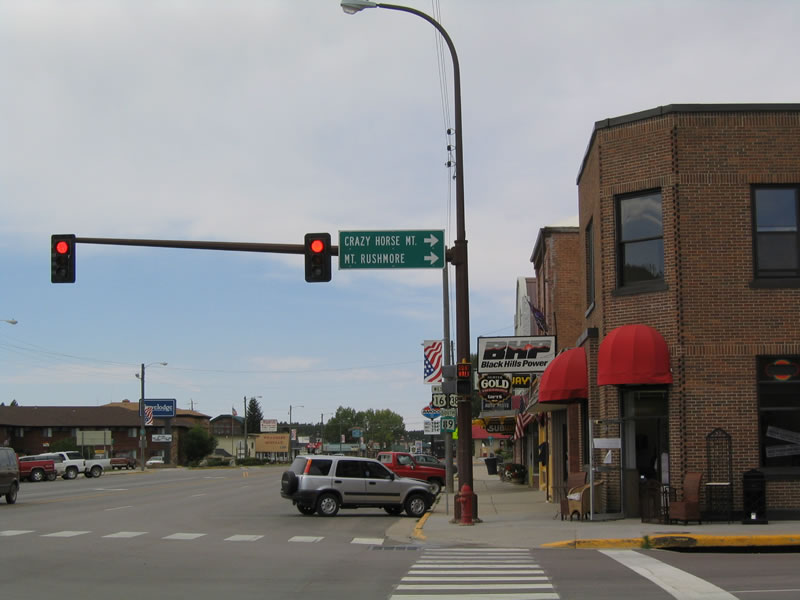
Follow U.S. 16-385 north to Crazy Horse Monument, Mount Rushmore National Memorial (via South Dakota 244), Hill City, Rapid City (via U.S. 16) and Lead/Deadwood (via U.S. 385).
09/03/04
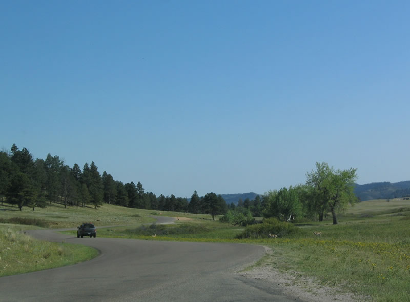
The Wildlife Loop Road in Custer State Park starts at Alternate U.S. 16 just east of the Peter Norbeck Visitor Center. It offers an 18 mile trip through the southeastern part of the state park.
09/03/04
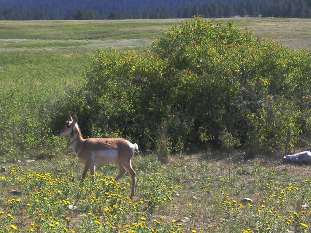
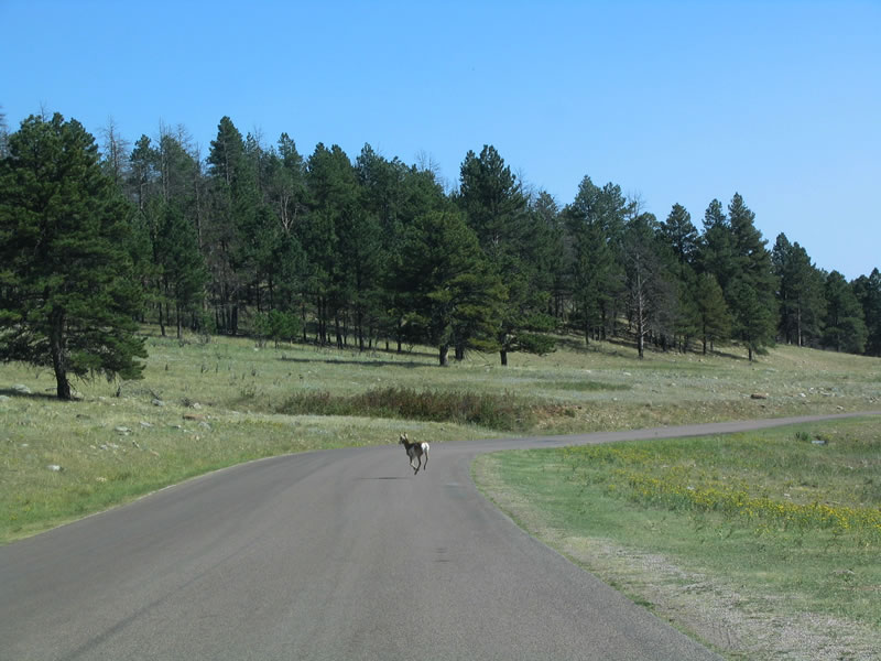
Living up to its name, antelope are among the many animals that wander through the state park. Other hoofed animals in the park include deer and elk.
09/03/04
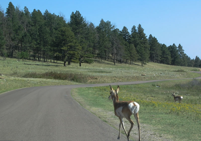
An antelope crosses the Wildlife Loop Road with its white tail contrasting with the pavement.
09/03/04
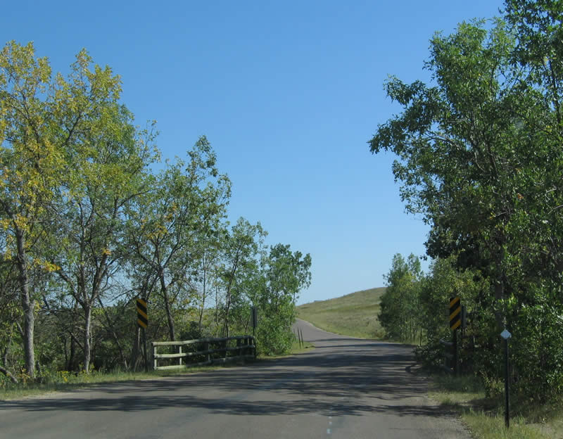
Wildlife Loop Road continues south as it crosses this short bridge over French Creek before reentering the open plains of Custer State Park.
09/03/04
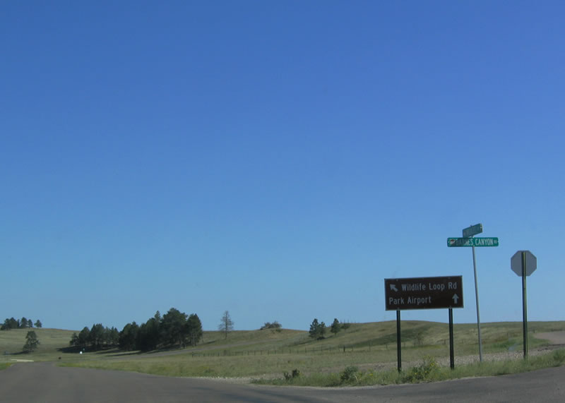
Southbound Wildlife Loop Road splits, with the main route continuing south and a spur road connecting to an airport. The elevation of this area is approximately 3,980 feet above sea level.
09/03/04
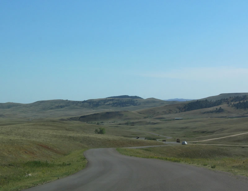
A wide valley comes into view immediately after the airport cutoff.
09/03/04
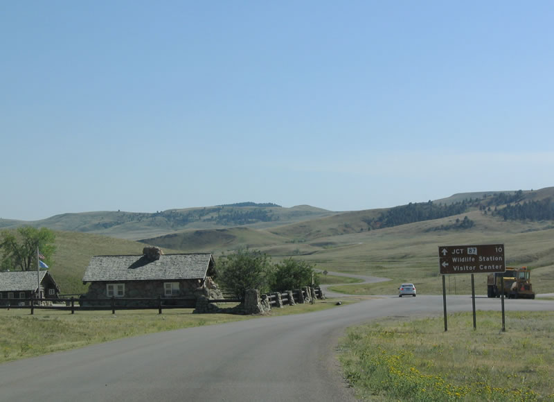
A visitor center and wildlife station is located in the valley; it is open seasonally. Continue southwest toward South Dakota 87.
09/03/04
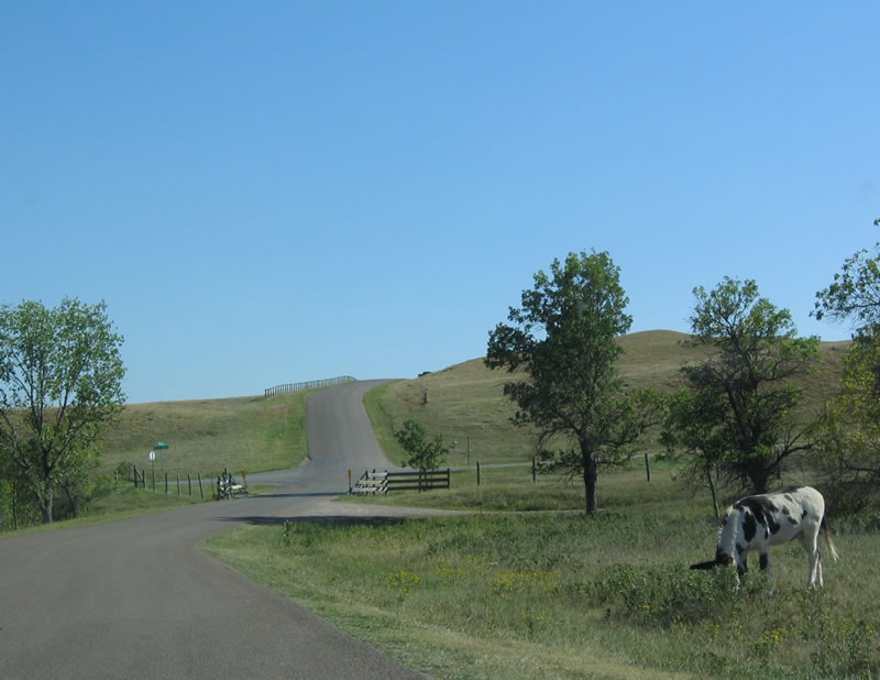
A black and white spotted horse grazes near the Wildlife Loop Road.
09/03/04
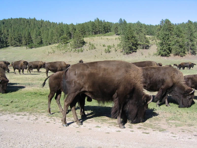
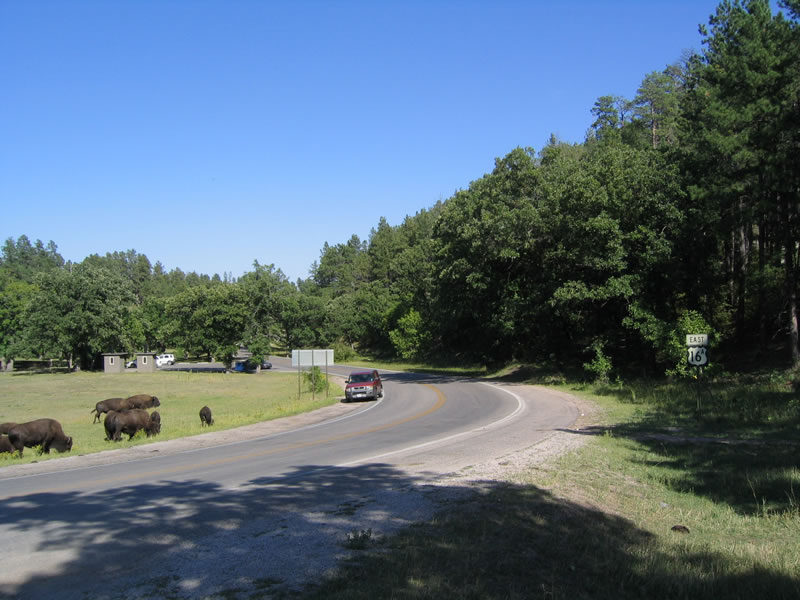
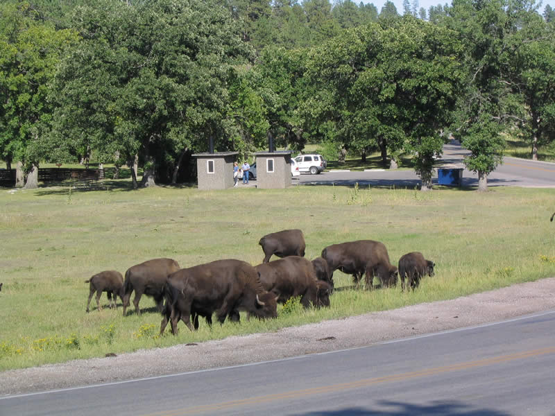
Buffalo also roam in Custer State Park; the state park is famous for its extensive herd of bison, which is among the world's largest.
09/03/04
Reaching the end of the Wildlife Loop Road, travelers have a choice of following South Dakota 87 south to Wind Cave National Park and Hot Springs and north to U.S. 16A, the city of Custer, and Needles Highway.
09/03/04
Photo Credits:
- Andy Field: 09/03/04
Connect with:
Page Updated Tuesday November 29, 2005.