
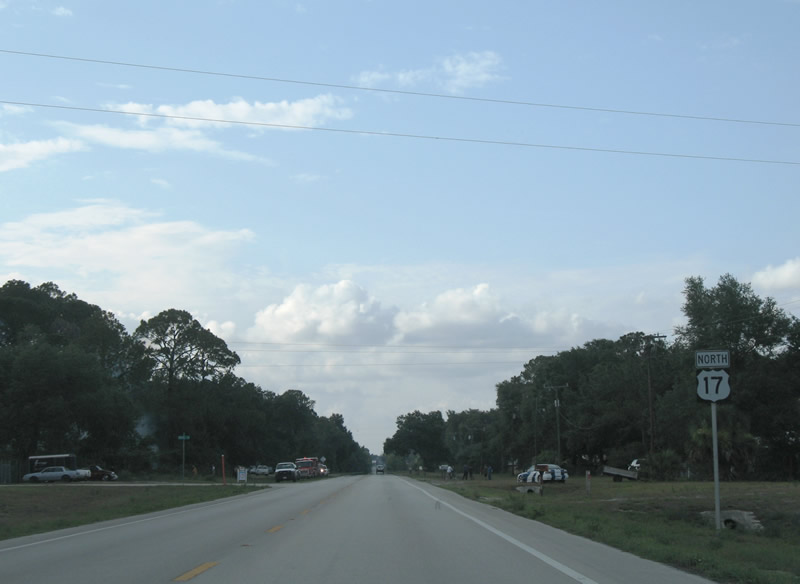
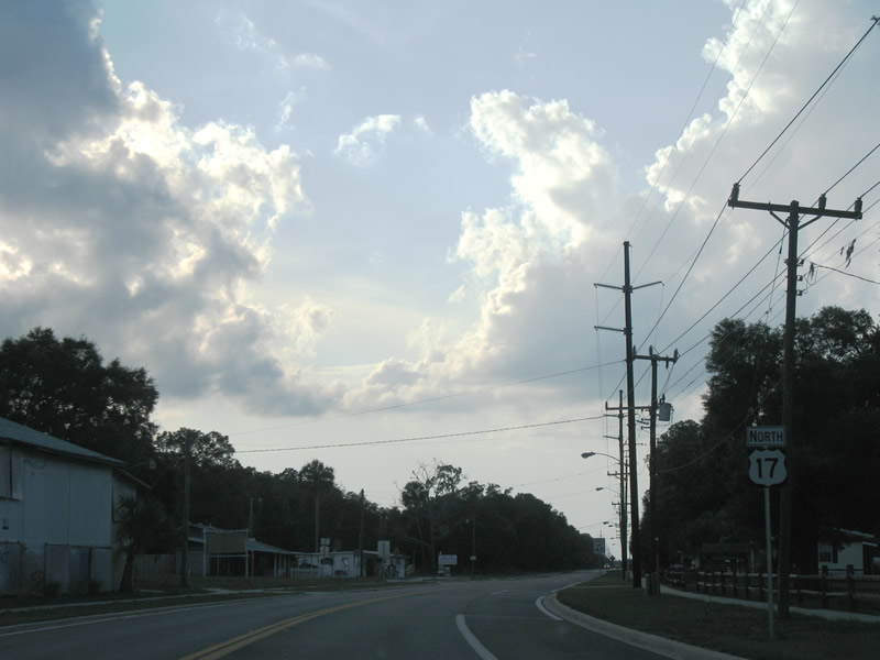
U.S. 17 North - DeLand to Crescent City

 North
North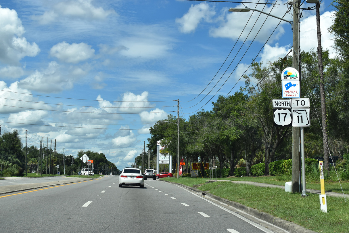
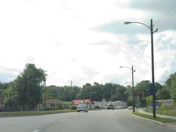
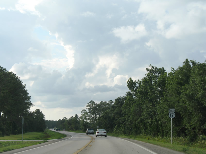
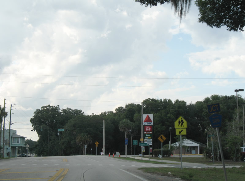
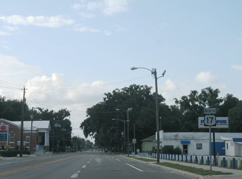
U.S. 17 (Woodland Boulevard) continues one mile north from the overlap with U.S. 92 and CR 92 (International Speedway Boulevard) in DeLand to SR 11.
09/12/22
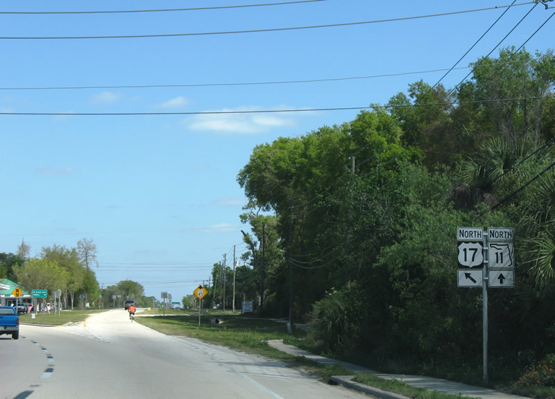
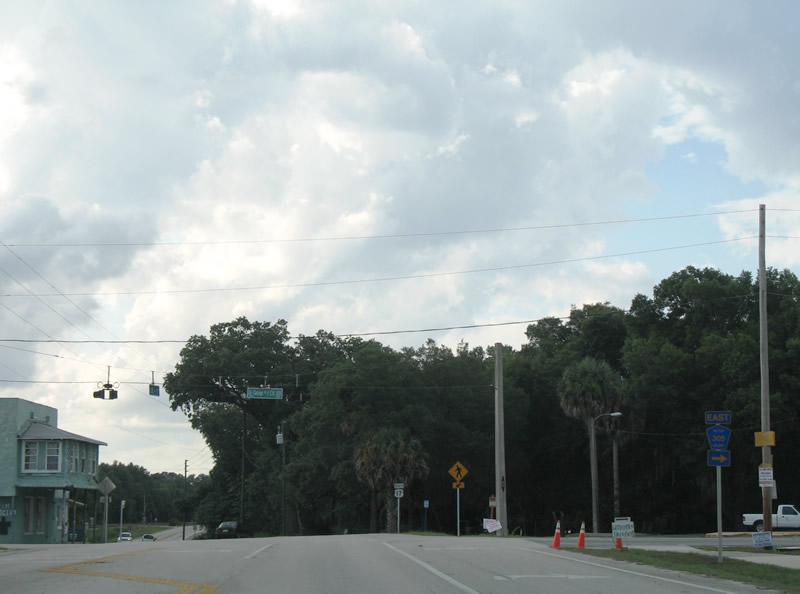
U.S. 17 (Woodland Boulevard) turns northwest from the south end of SR 11 at Lake Molly Avenue.
03/21/08
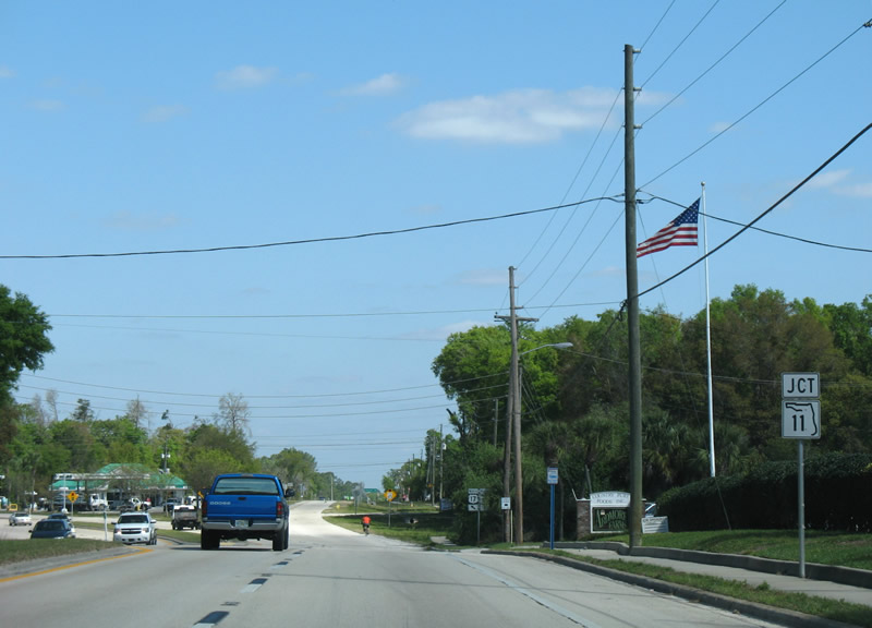
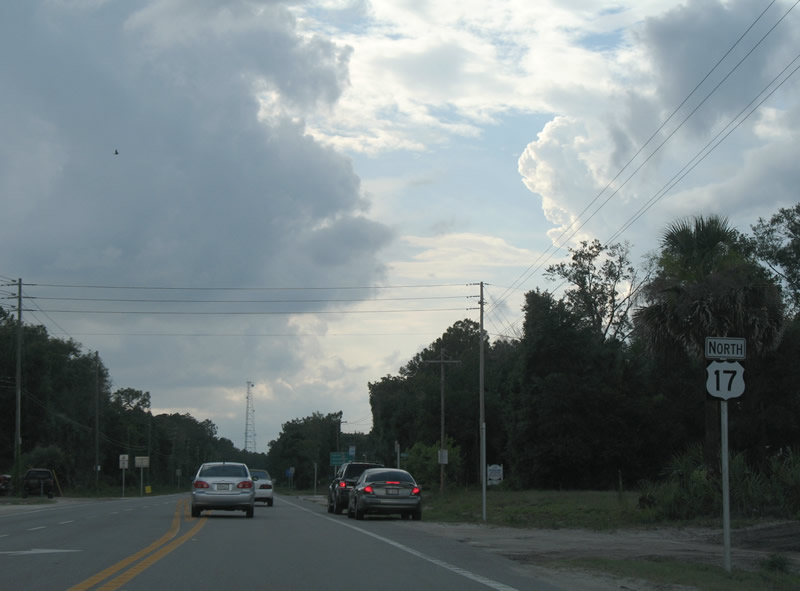
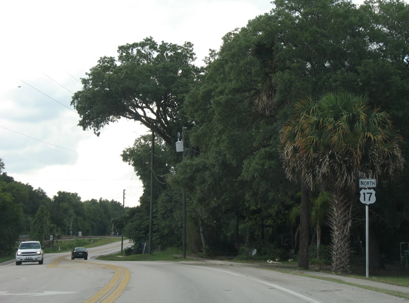
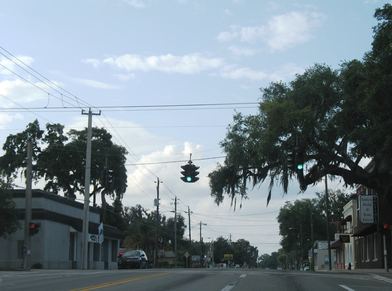
SR 11 travels 29.80 miles north to U.S. 1/SR 100 at the Flagler County seat of Bushnell.
03/21/08
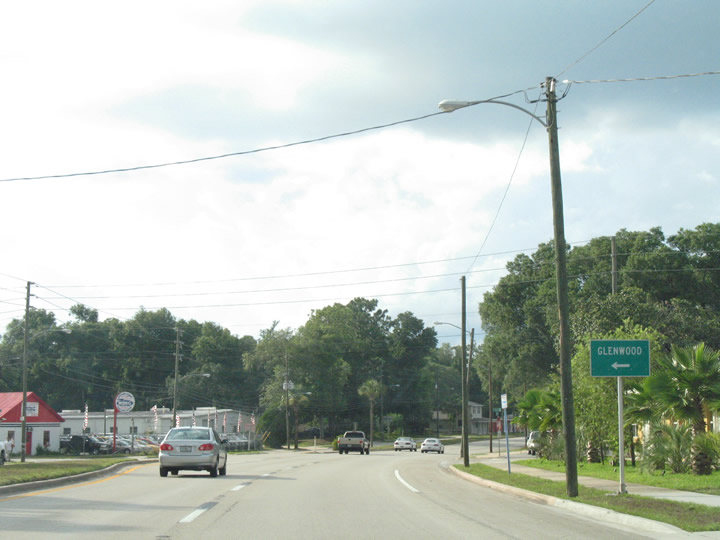
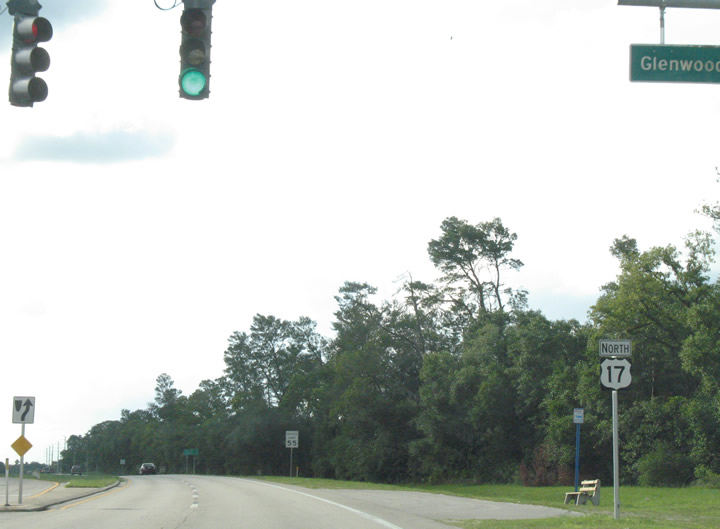
Glenwood Road (unsigned CR 4088) leads 2.74 miles west from U.S. 17/SR 11 to CR 4053 (Grand Avenue) at the community of Glenwood.
03/21/08
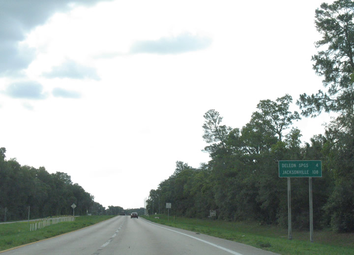
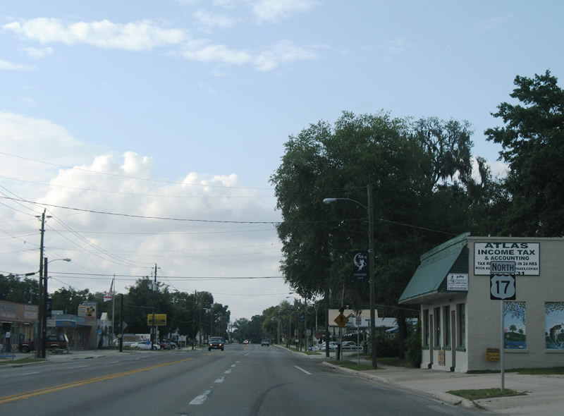
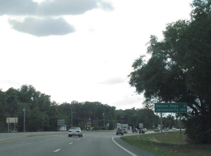
U.S. 17 continues four miles north from SR 11 to the community of De Leon Springs.
06/12/08
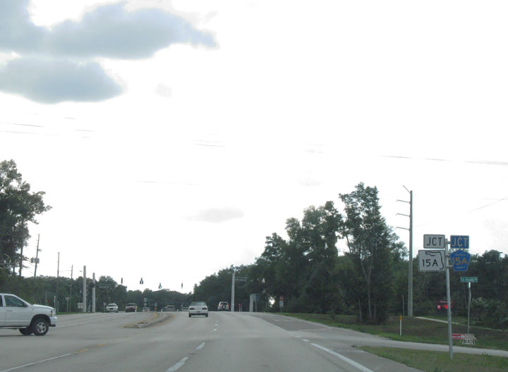
U.S. 17 next converges with the DeLand truck bypass along SR 15A south and CR 15A north on Spring Garden Avenue.
06/12/08
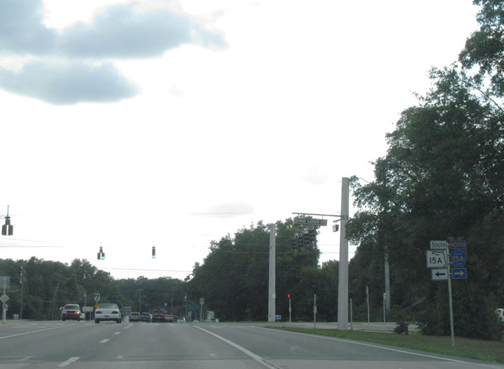
CR 15A (Spring Garden Avenue) arcs 2.14 miles northeast to SR 11. SR 15A expands Spring Garden Avenue into a four lane arterial south 6.90 miles to U.S. 17/92 south of Downtown DeLand.
06/12/08
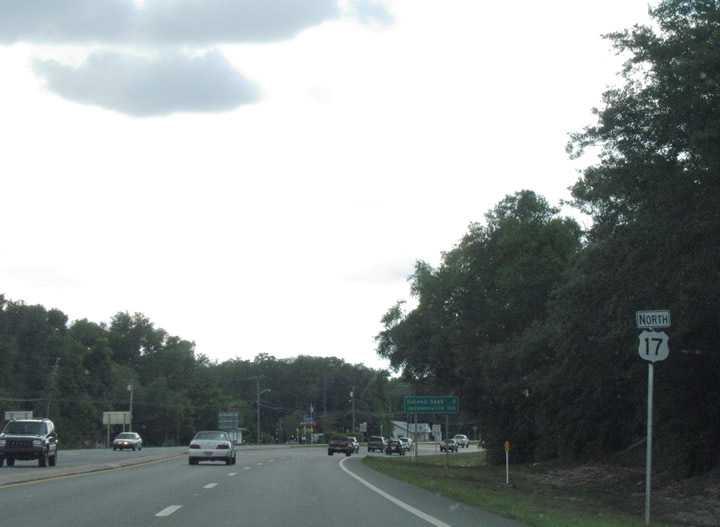
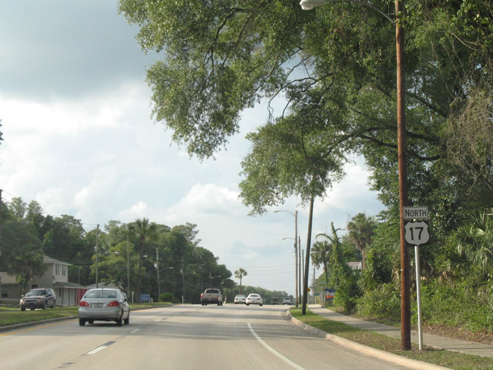
U.S. 17 continues with four lanes north from SR 15A/CR 15A two miles to DeLeon Springs.
06/12/08
CR 4053 (Grand Avenue) stems 6.58 miles north from SR 44 to U.S. 17 at Retta Street in DeLeon Springs.
06/12/08
A partially signed route, CR 4053 (Grand Avenue) leads south from De Leon Springs to Glenwood.
06/12/08
Confirming marker posted north of CR 4053 (Retta Street).
06/12/08
U.S. 17 transitions from a four lane arterial into a rural, two lane highway north of Baxter Street and Ponce De Leon Boulevard (CR 3) in De Leon Springs.
06/12/08
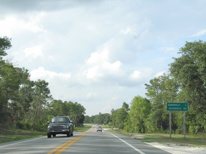
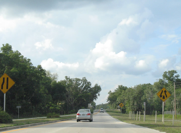
Curving northwest alongside a CSX Railroad, U.S. 17 advances six miles to Barberville.
06/12/08
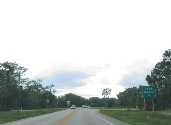
Lake Winona Road (unsigned CR 4023) branches north from CR 3 and De Leon Springs State Park 7.16 miles to Camp Winona and SR 40.
06/12/08
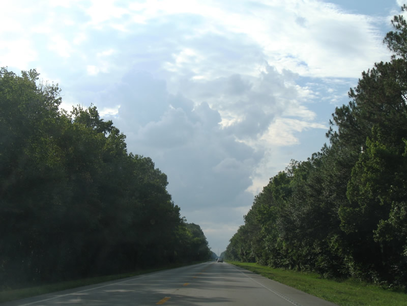
U.S. 17 bee lines northwest from Lake Winona Road adjacent to the CSX Railroad, CR 3 and Lake George State Forest.
06/12/08
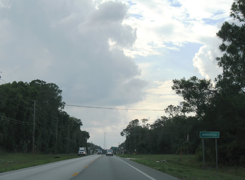
Entering the unincorporated community of Barberville on U.S. 17 north.
06/12/08
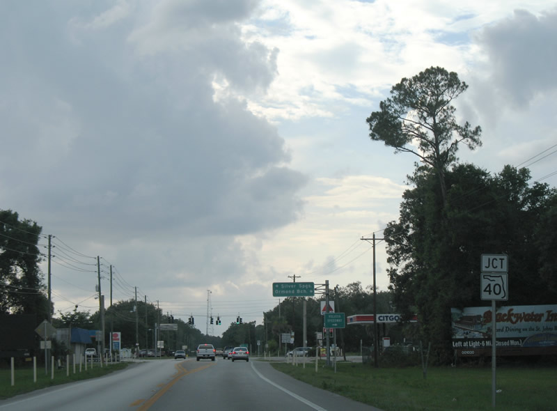
SR 40 crosses the Florida peninsula east from U.S. 41 near Dunnellon to SR A1A in Ormond Beach.
06/12/08
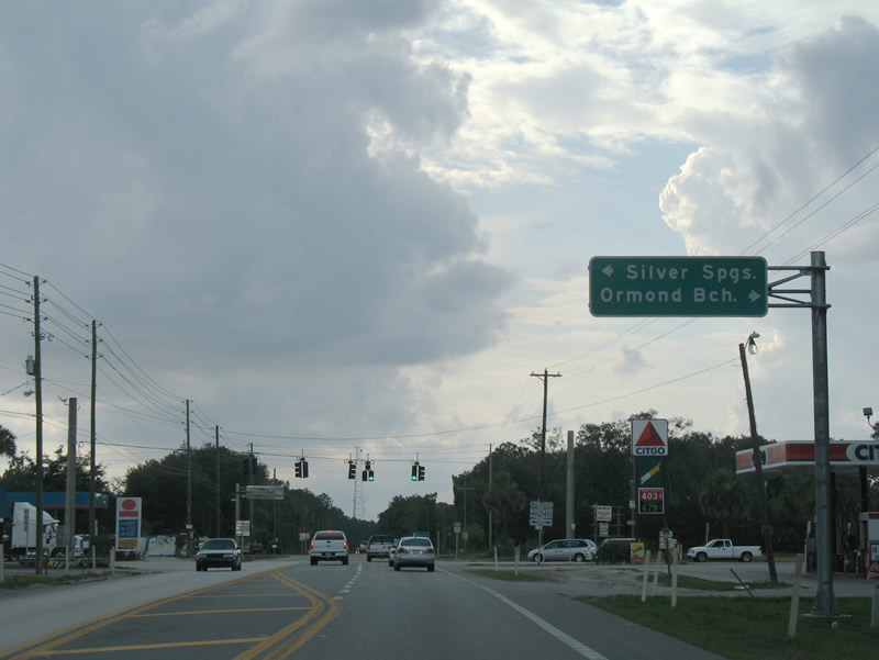
SR 40 represents the main route joining Ocala and Silver Springs with the Atlantic Coast.
06/12/08
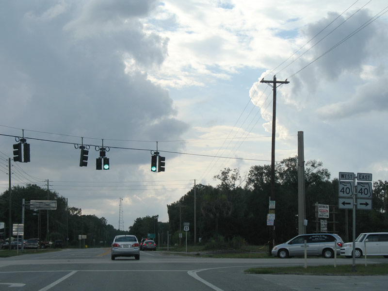
A rural highway, SR 40 traverses Ocala National Forest west to Silver Springs and east to SR 11 and Interstate 95 in Ormond Beach.
06/12/08
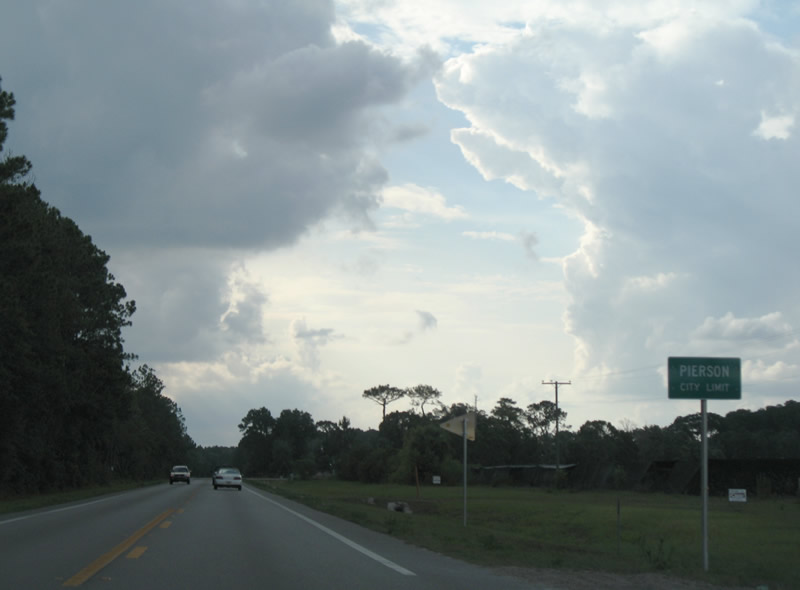
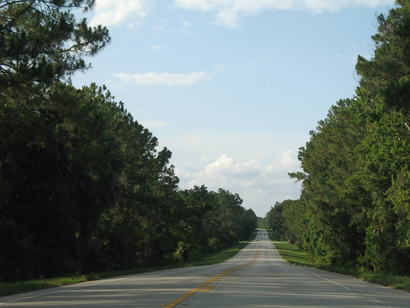
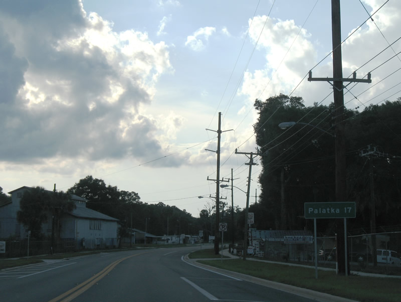
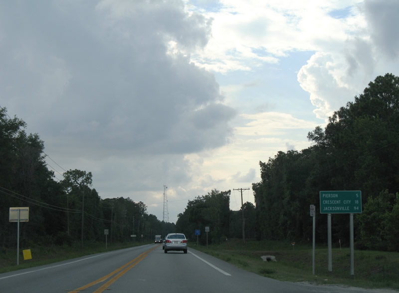
U.S. 17 continues northwest from Barberville to the town of Pierson and 18 miles to Crescent City.
06/12/08
U.S. 17 follows Center Street through the town of Pierson.
06/12/08
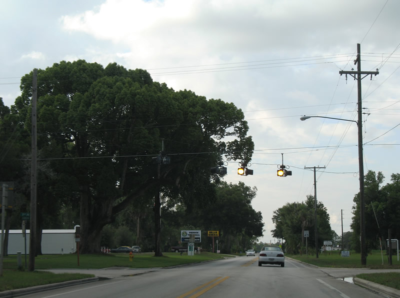
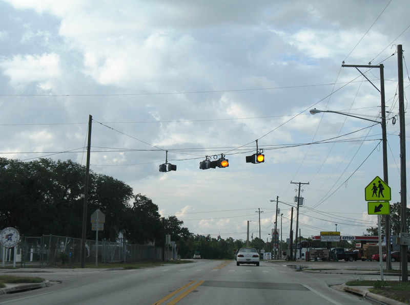
Flashers operate at the intersection of U.S. 17 (Center Street) and 2nd Avenue in Pierson.
06/12/08
1st Avenue stems east from CR 3 (Volusia Avenue) across U.S. 17 at these flashers to Blake Street.
06/12/08
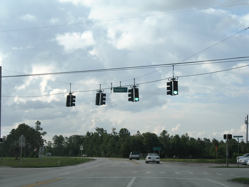
Washington Avenue runs across Pierson west to Braddock Road and east toward the Flagler County line.
06/12/08

The unincorporated community of Seville lies five miles north of Washington Avenue in Pierson at CR 305.
06/12/08
U.S. 17 passes north between the Pierson Town Park Sports Complex and Pierson Municipal Airport (2J8).
06/12/08
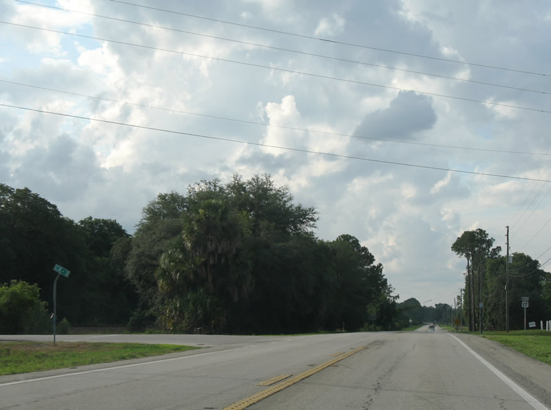
County Road 3 parallels U.S. 17 north 7.44 miles from SR 40 at Barberville to U.S. 17 at Connersville.
06/12/08
Reassurance marker north of County Road 3.
06/12/08
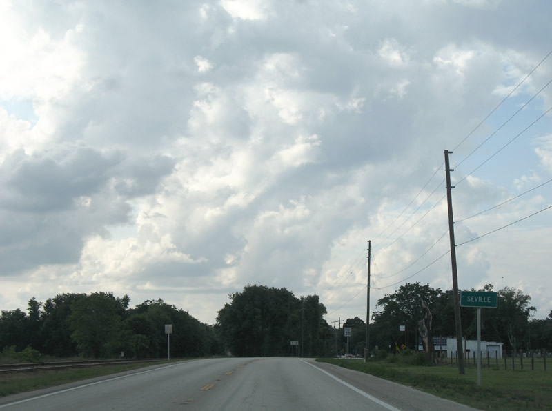
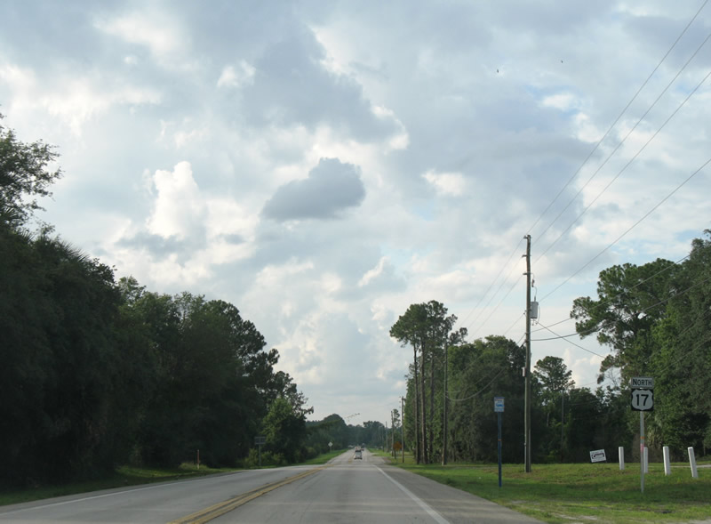
Advancing north, U.S. 17 reaches the rural community of Seville.
06/12/08
CR 305 (Lake George Road east / Bunnell Road west) meets U.S. 17 in Seville.
06/12/08
The signed route of CR 305 loops 20.07 miles northeast to SR 100 near Daytona North in Flagler County. The unsigned leg spurs 3.93 miles west to Willow Point on Lake George.
06/12/08
U.S. 17 shifts west through an S-curve from CR 305 to Paulding Street in Seville.
06/12/08
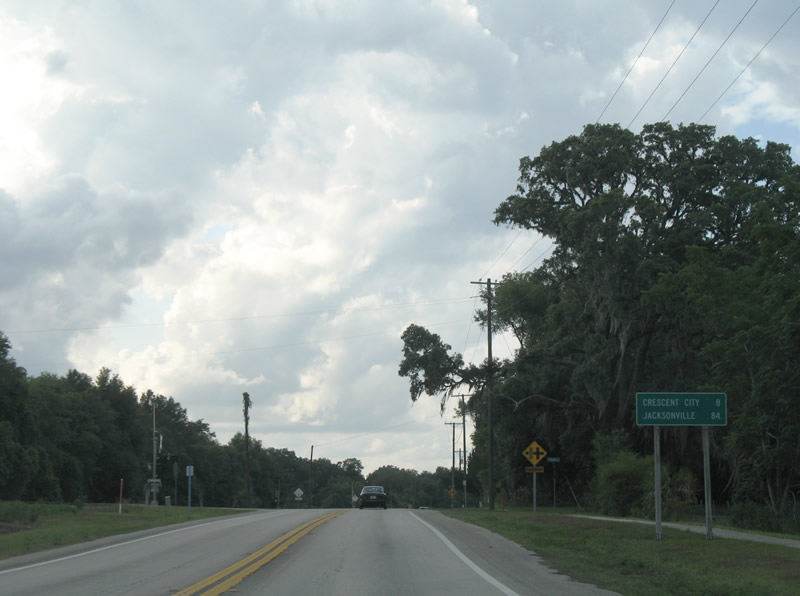
Crescent City is eight miles north of Seville.
06/12/08
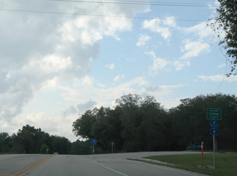
Progressing north, U.S. 17 crosses the Putnam County line east of Davis Lake and Silver Pond.
06/12/08
Old Highway 17 branches west while U.S. 17 follows a more linear course north to Crescent City.
06/12/08
A reassurance marker stands by the intersection with Ewers Road west.
06/12/08
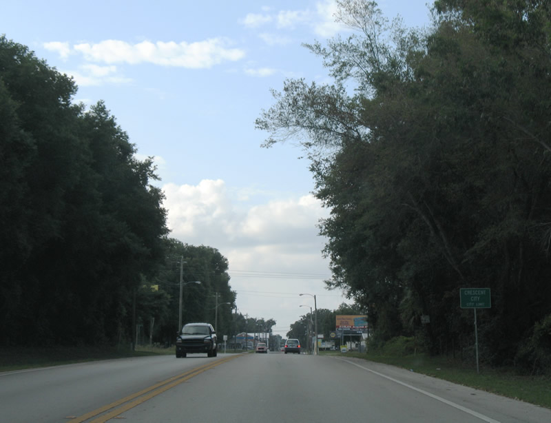
Home to around 1,700, Crescent City lies between Lake Stella and Crescent Lake.
06/12/08
Following Summit Street, U.S. 17 expands into a four lane boulevard through the Crescent City street grid.
06/12/08
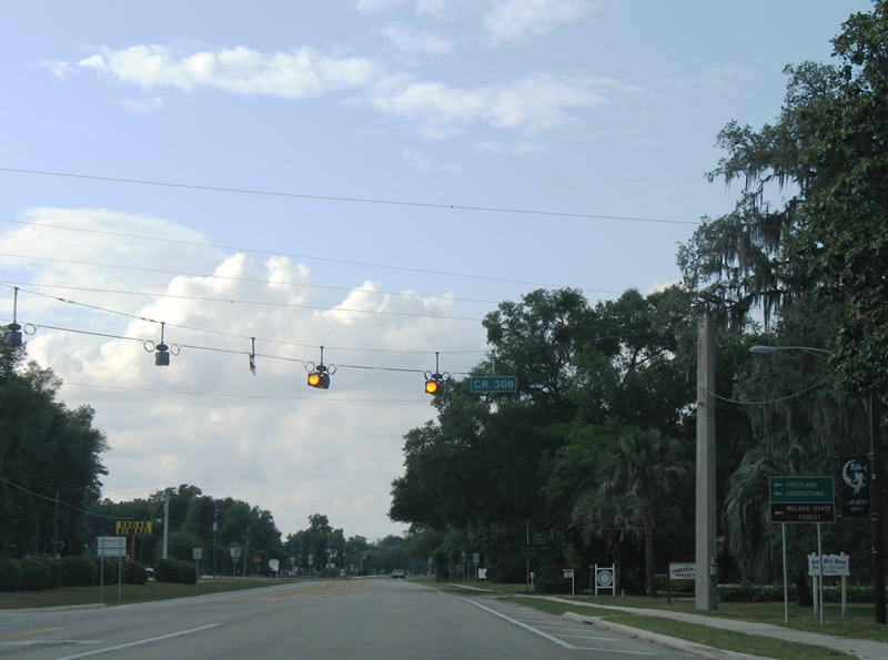
The lone traffic light in Crescent City is located at U.S. 17 (Summit Street) and Central Avenue in Downtown.
06/12/08
Construction completed by 2013 added a median along U.S. 17 (Summit Street) in Crescent City.
06/12/08
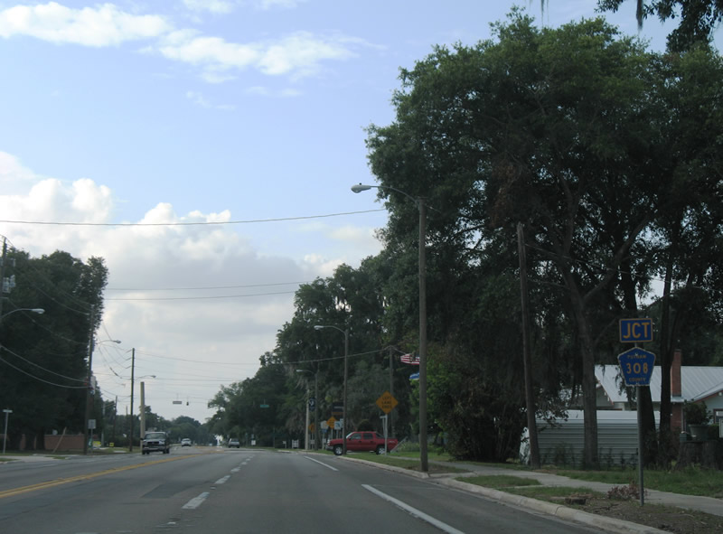
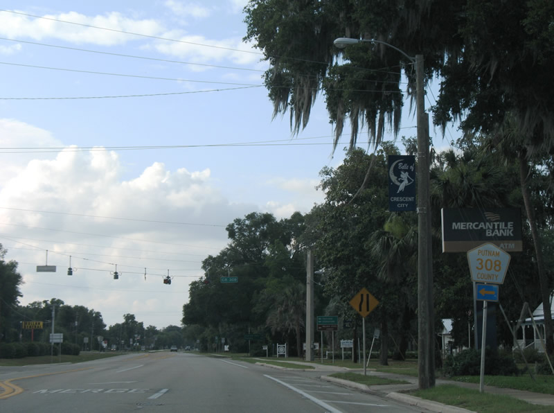
CR 308 (Vernon Avenue) ties into U.S. 17 (Summit Street) east from Lake Stella.
06/12/08
CR 844 stretches 8.44 miles west to Huntington and CR 309 at Fruitland.
06/12/08
Georgetown lies south from CR 308 along CR 309 on the St. Johns River. Welaka State Forest is located along CR 309 north of Fruitland.
06/12/08
Confirming marker posted beyond Vernon Avenue (CR 308).
06/12/08

U.S. 17 reduces to two lanes by Fletcher Park in north Crescent City.
06/12/08
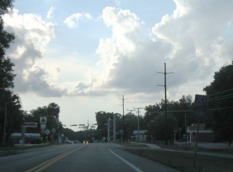
Curving away from Crescent Lake, U.S. 17 enters the town of Pomona Park ahead of CR 308B (W Main Street).
06/12/08

Main Street meets U.S. 17 at a staggered intersection by Prospect Street and Pomona Park Town Hall.
06/12/08
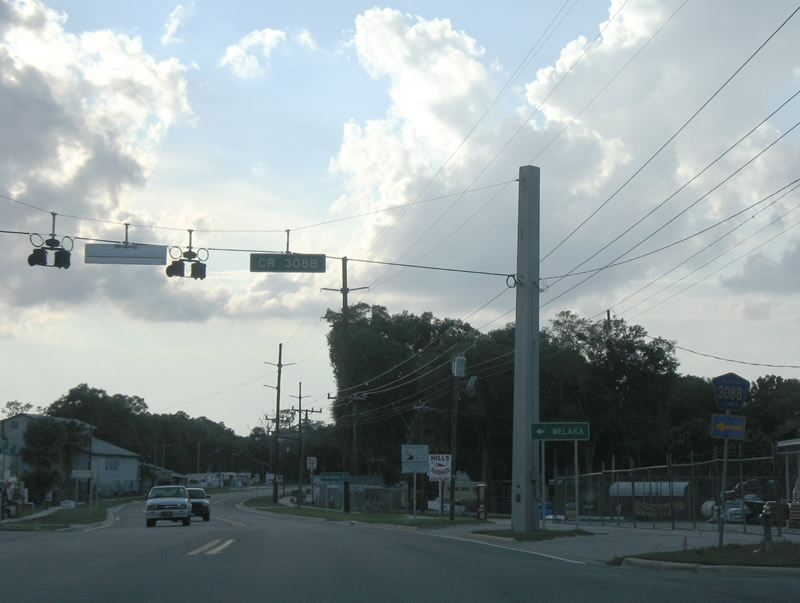
CR 308B runs 5.24 miles west to CR 309 (3rd Avenue) in the town of Welaka.
06/12/08
U.S. 17 leaves the Pomona Park business district beyond CR 308B (W Main Street).
06/12/08
The CSX Railroad stays along the west side of U.S. 17 through northern reaches of the Pomona Park town limits.
06/12/08
Proceeding northwest past the railroad siding of Sisco, U.S. 17 runs east of Saratoga Lake.
06/12/08
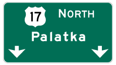
Photo Credits:
- Alex Nitzman: 03/21/08, 06/12/08, 09/12/22
Connect with:
Page Updated Friday November 11, 2022.