
U.S. 17/76 East - Leland to Wilmington

 North
North 
 East
East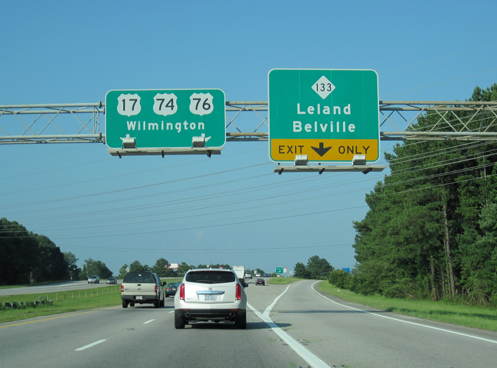
NC 133 (River Road) parallels the west bank of the Cape Fear River along a two lane highway south from U.S. 17-74-76 to NC 87 near Boiling Spring Lakes. The two overlap briefly before splitting to Southport, near the Southport-Fort Fisher Ferry, and Oak Island respectively.
06/24/10
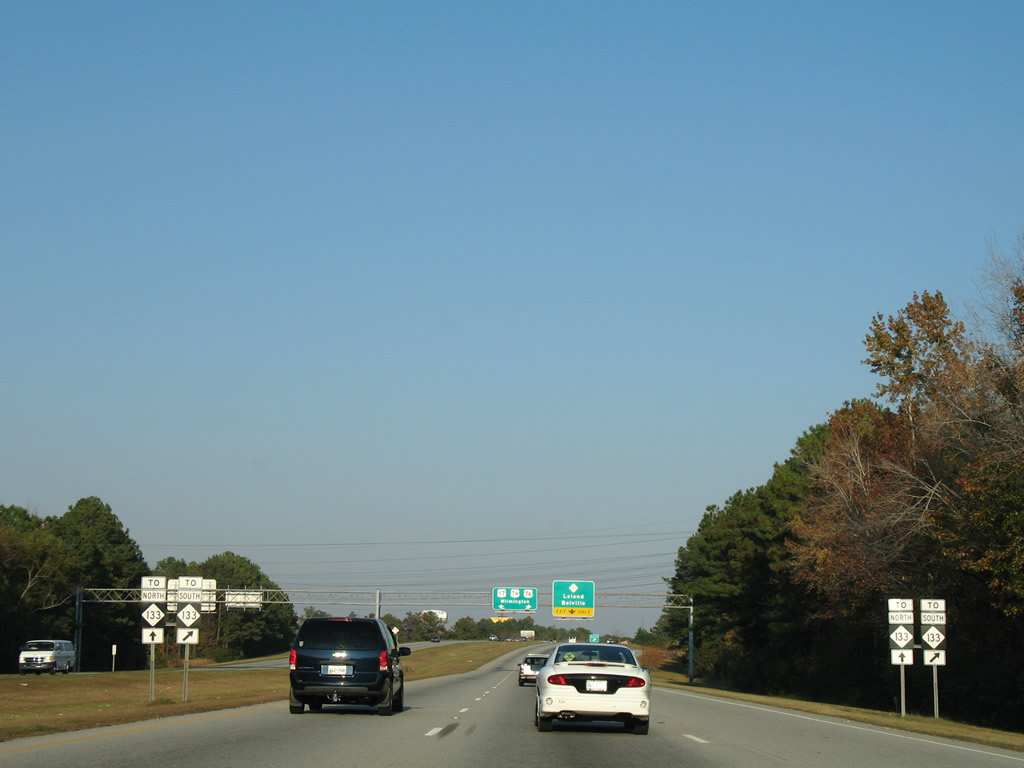
The Causeway Bridge Project included conversion of the diamond interchange with NC 133 and Village Road (old U.S. 74/76) into a DDI. The revised exchange debuted to traffic on April 15, 2016.
06/24/10
 North East
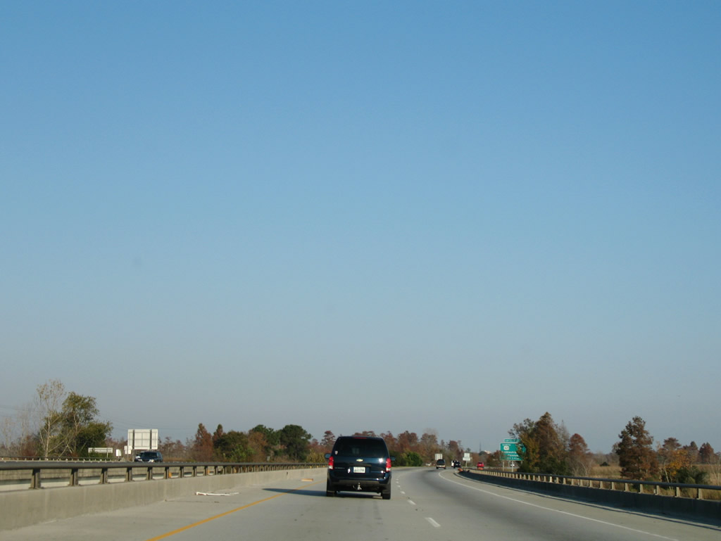
Underway from January 2014 to November 2016, the Causeway Bridge Project replaced the U.S. 17-74-76/NC 133 bridges over the Brunswick River with a new eight lane span.
11/11/06
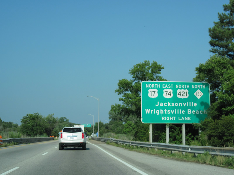
U.S. 17-74-76 / NC 133 cross Alligator Creek just ahead of their separation on Eagle Island. U.S. 421 originates at Fort Fisher south of Kure Beach and Wilmington. The route runs north to Clinton and Dunn, and overall mostly paralleling U.S. 52 to Michigan City, Indiana.
06/24/10
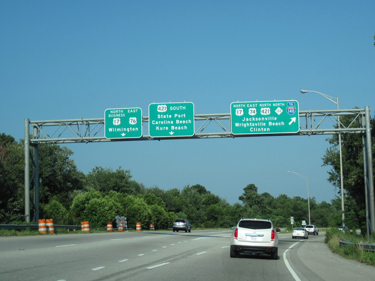
U.S. 74 east provides a bypass of central Wilmington via Martin Luther King, Jr. Parkway east to Wilmington International Airport (ILM). NC 133 overlays the route to Hightsville. U.S. 421 leads north 4.6 miles to I-140 at the Dan Cameron Bridge.
06/24/10
North East  South
South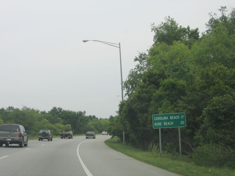
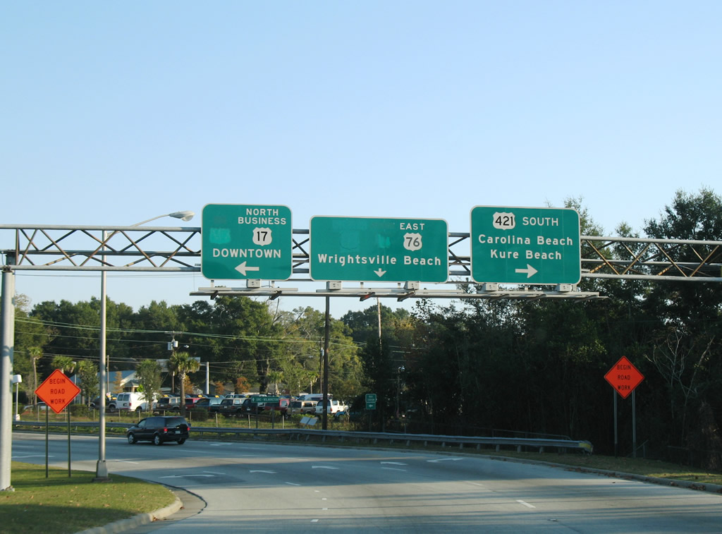
This distance sign references Carolina Beach and Kure Beach via U.S. 421 south for the upcoming overlap with U.S. 17/76 east.
06/01/05
Back to back ramps depart at the east end of the Cape Fear Memorial Bridge for U.S. 421 Truck south and Front Street north into Downtown Wilmington.
11/11/06
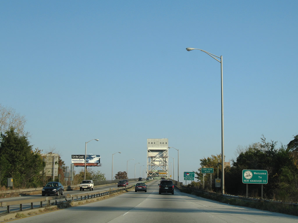
U.S. 17-76-421 enter New Hanover County and the city of Wilmington across the Cape Fear River.
11/11/06
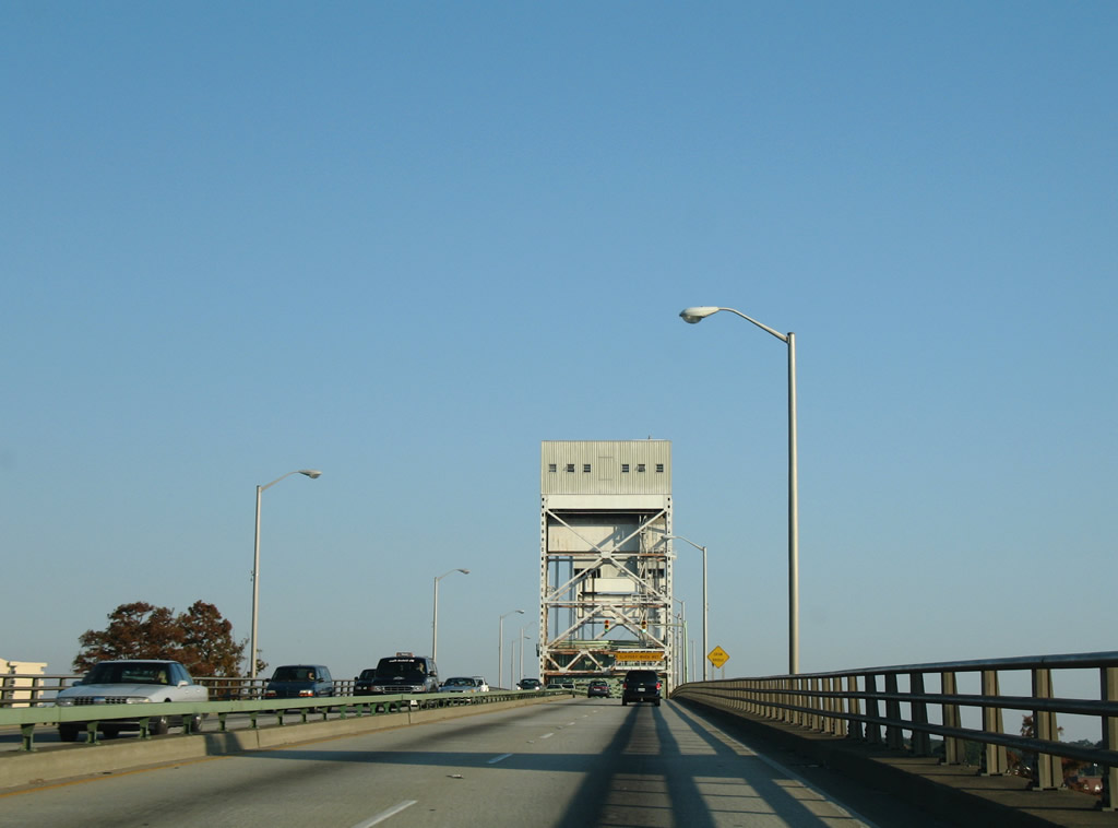
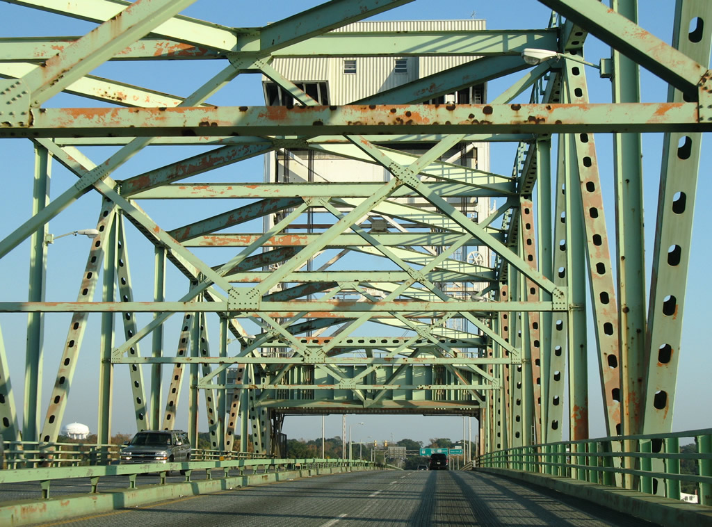
The Cape Fear Memorial Bridge opened to traffic on October 1, 1969. The central section lifts between the two towers, providing more vertical clearance for larger passing ships.
11/11/06

A steel deck supports traffic across the movable portion of the Cape Fear Memorial Bridge. The metal grating can be slippery during rainy weather.
11/11/06
A loop ramp follows from U.S. 17-76-421 east for Front Street north along the Cape Fear River waterfront in Downtown Wilmington. U.S. 421 splits with U.S. 17-76 at the ensuing intersection.
11/11/06
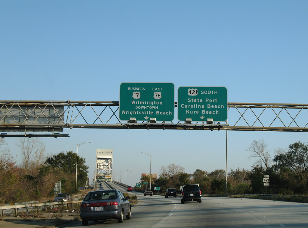
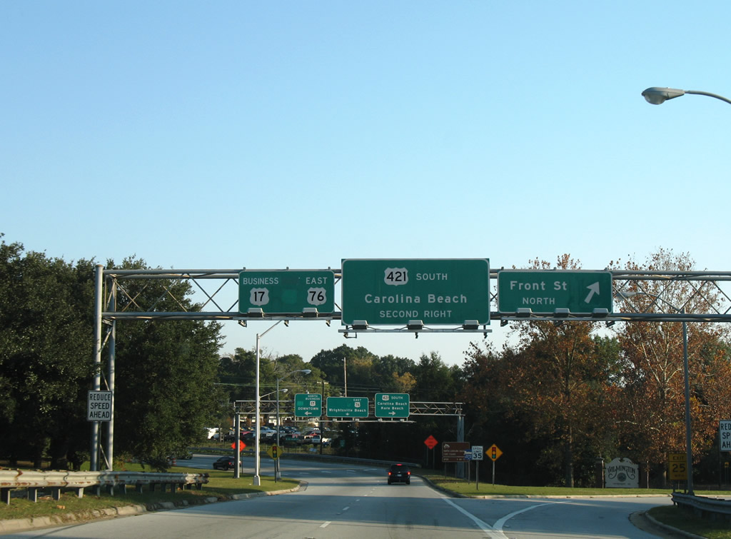
U.S. 17-76 shift onto Dawson Street east at their separation with U.S. 17 Business north and U.S. 421 south at 3rd Street. U.S. 421 continues south to Carolina Beach, Kure Beach and Fort Fisher.
11/11/06

U.S. 17 Business leads nine blocks north from U.S. 17-76 (Dawson Street) to Market Street in Downtown Wilmington. U.S. 17-76 follow the one way couplet of Dawson and Wooster Streets 15 blocks east to Oleander Drive.
11/11/06
Photo Credits:
- ABRoads: 06/24/10
- Alex Nitzman, Justin Cozart: 11/11/06
- Andy Field: 06/01/05
Connect with:
Page Updated Tuesday September 11, 2018.