
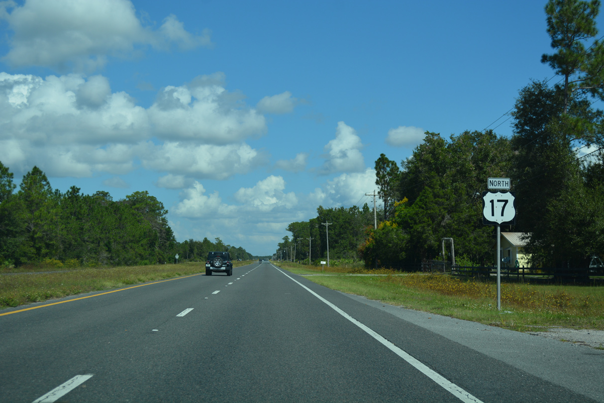
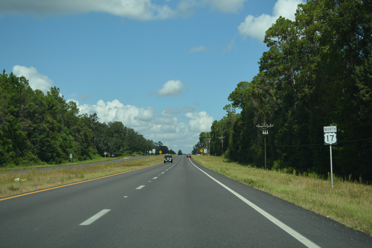
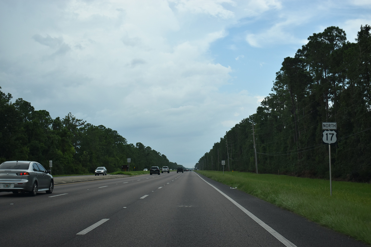
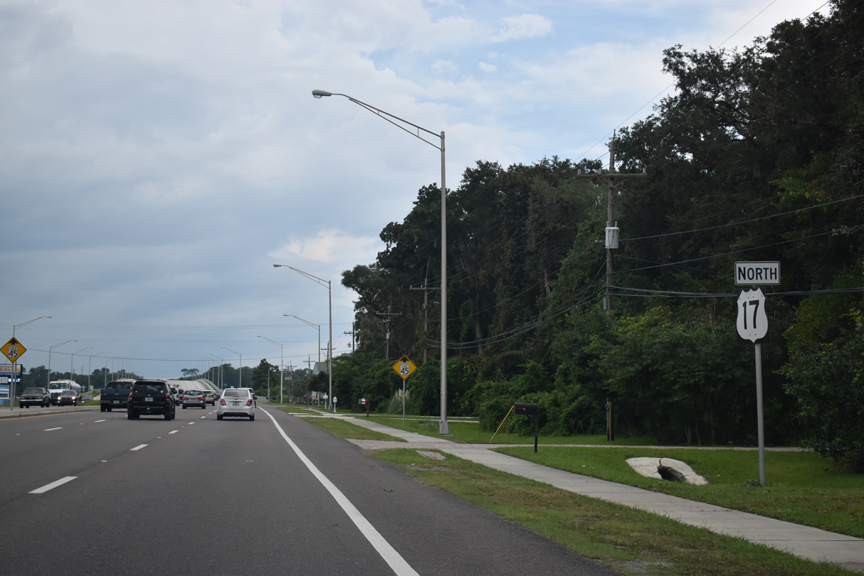
U.S. 17 North - Green Cove Springs to Orange Park

 North
North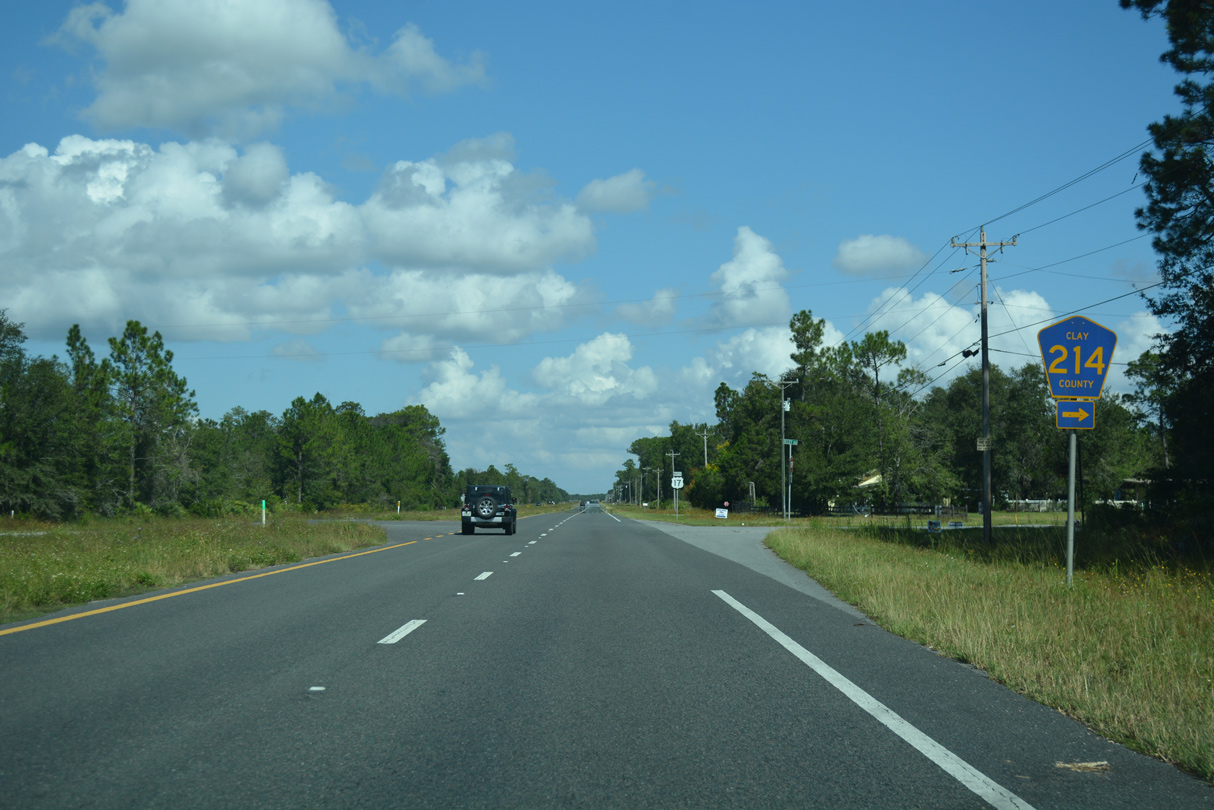
CR 214 (Decoy Road) connects U.S. 17 with CR 209 between West Tocoi and Brewers Landing, 2.7 miles to the east.
10/06/18
10/06/18
10/06/18
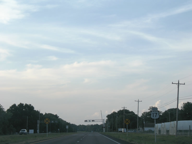
Reassurance marker posted northbound between Warner Road west and an at-grade crossing with a CSX Railroad spur.
06/12/08
06/12/08
Unmarked from U.S. 17 northbound, CR 226 branches northeast 1.76 miles to CR 209 at Walkill.
10/06/18
10/06/18
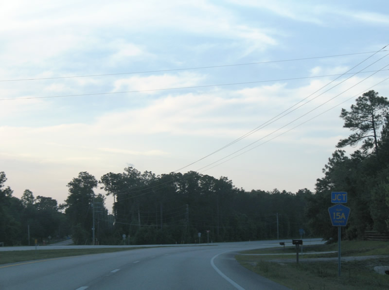
Following Oakridge Avenue, CR 15A leads 3.69 miles north from U.S. 17 to SR 16.
10/06/18
10/06/18
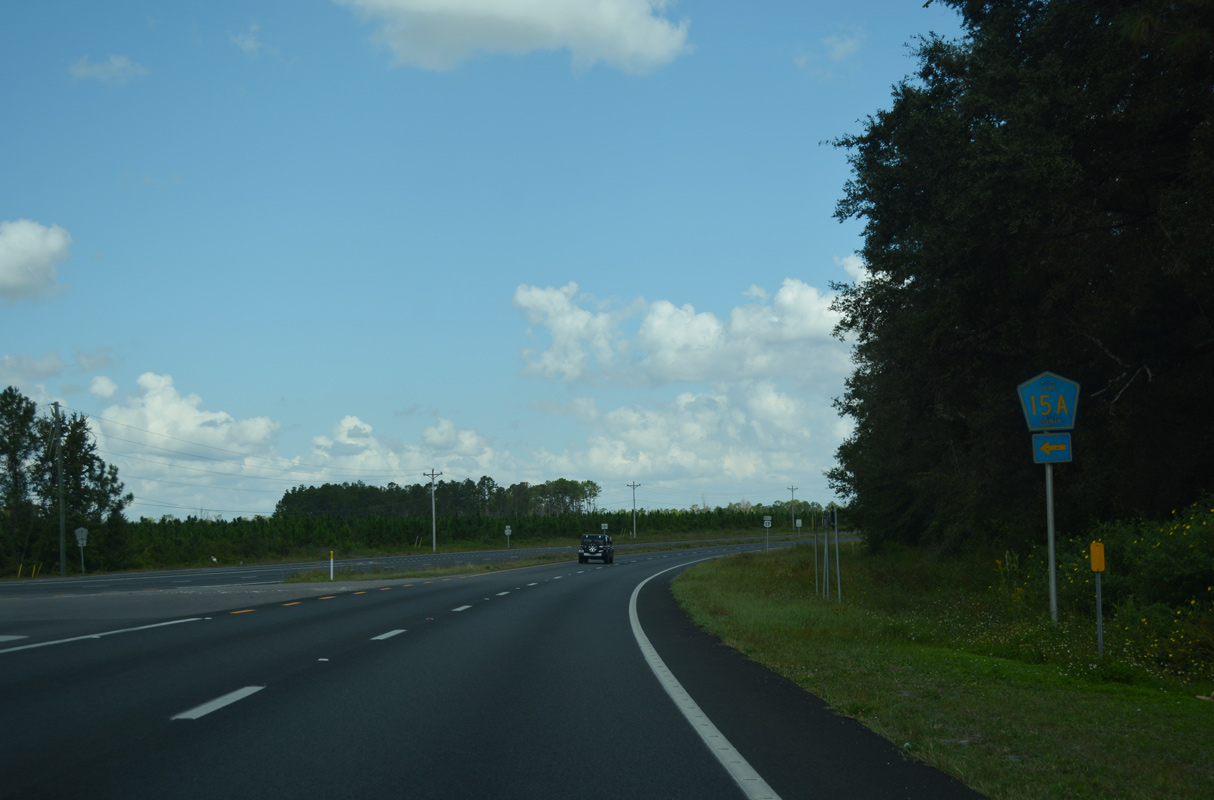
CR 15A provides a cutoff to SR 16 (Idlewild Avenue) west from Green Cove Springs. The junction shield for CR 15A on U.S. 17 north was removed after 2015.
06/12/08
06/12/08
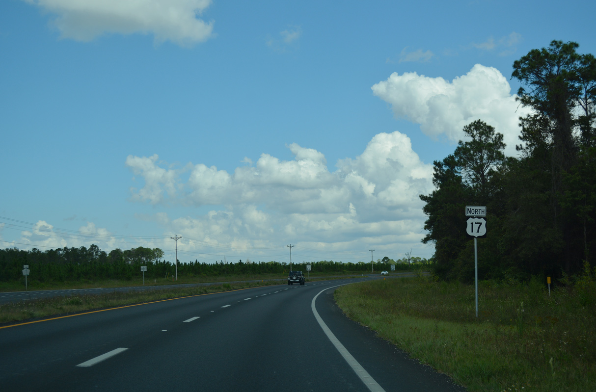
Angling northeast, U.S. 17 runs alongside Bayard Wildlife Management Area from CR 15A.
10/06/18
10/06/18
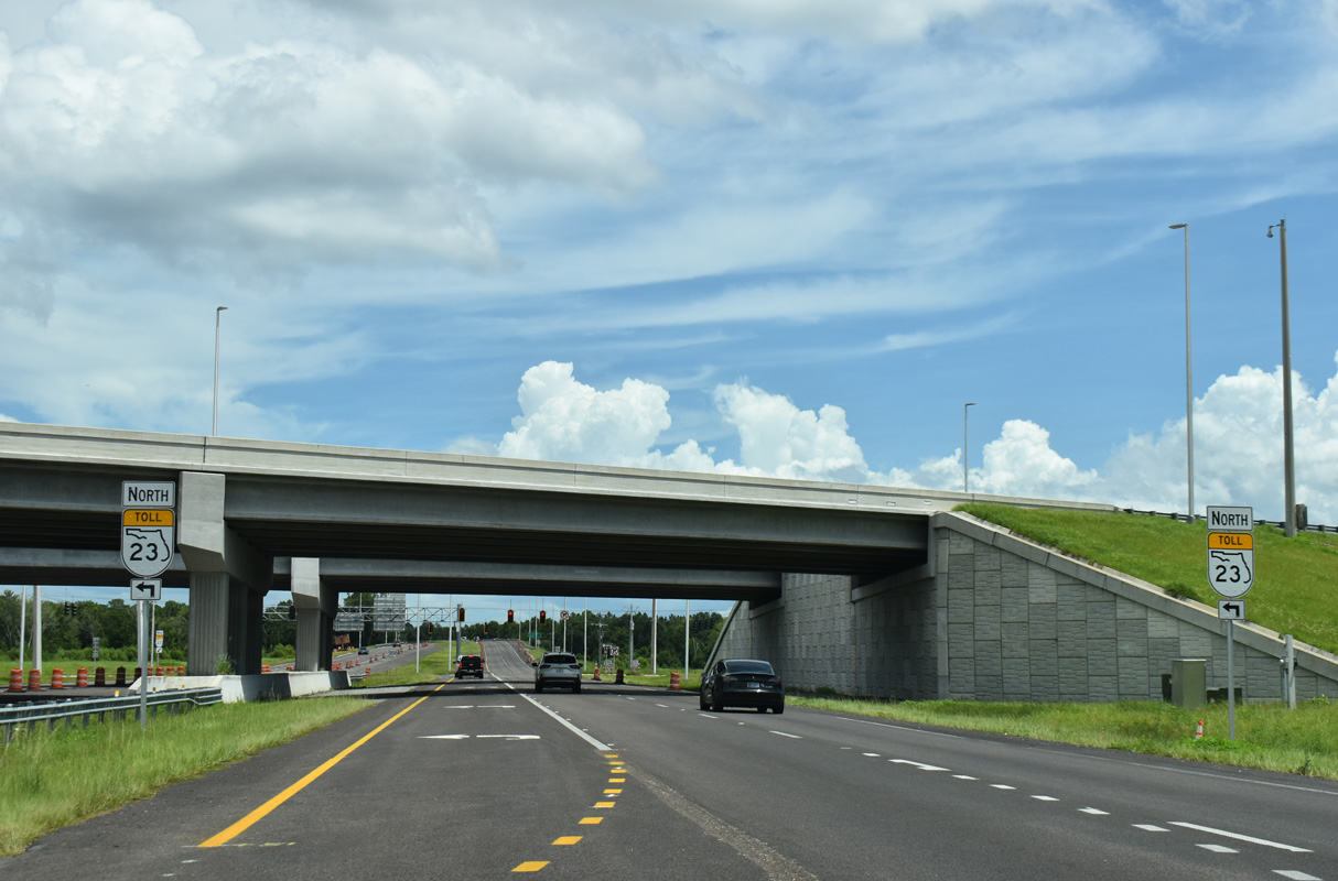
U.S. 17 meets SR 23 (First Coast Expressway) at a diamond interchange (Exit 13). The toll road opened north from U.S. 17 to SR 21 (Blanding Boulevard) at Middleburg on August 9, 2025.
08/12/25
08/12/25
08/12/25
08/12/25

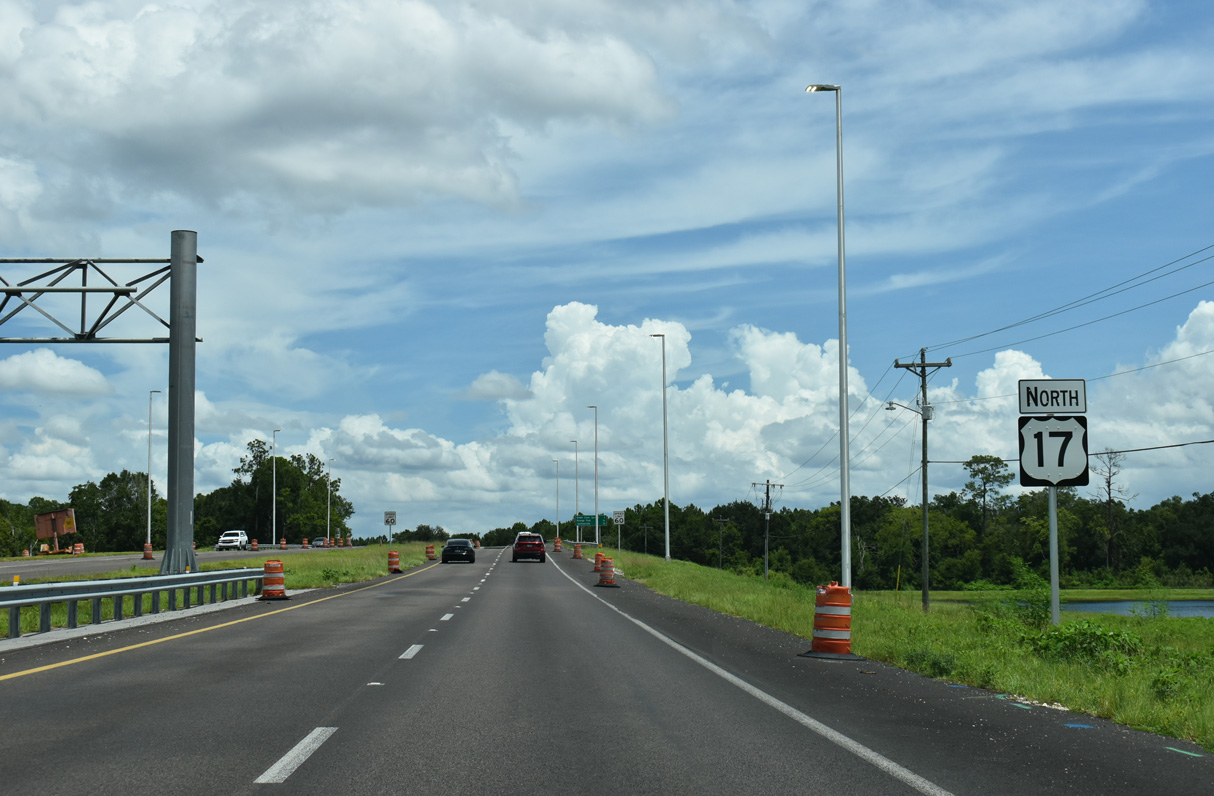
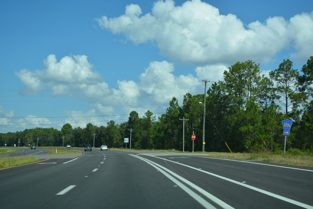
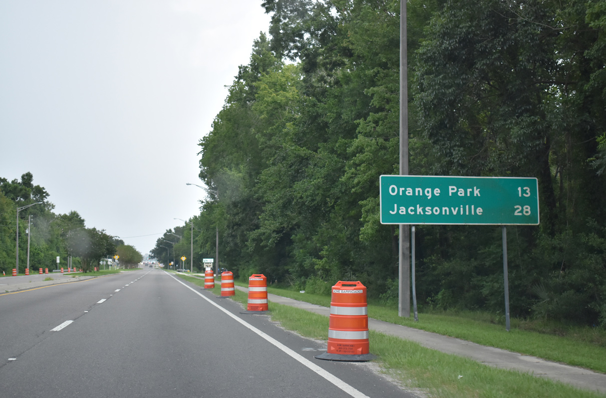
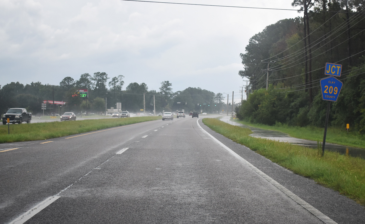
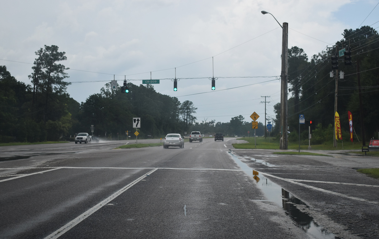
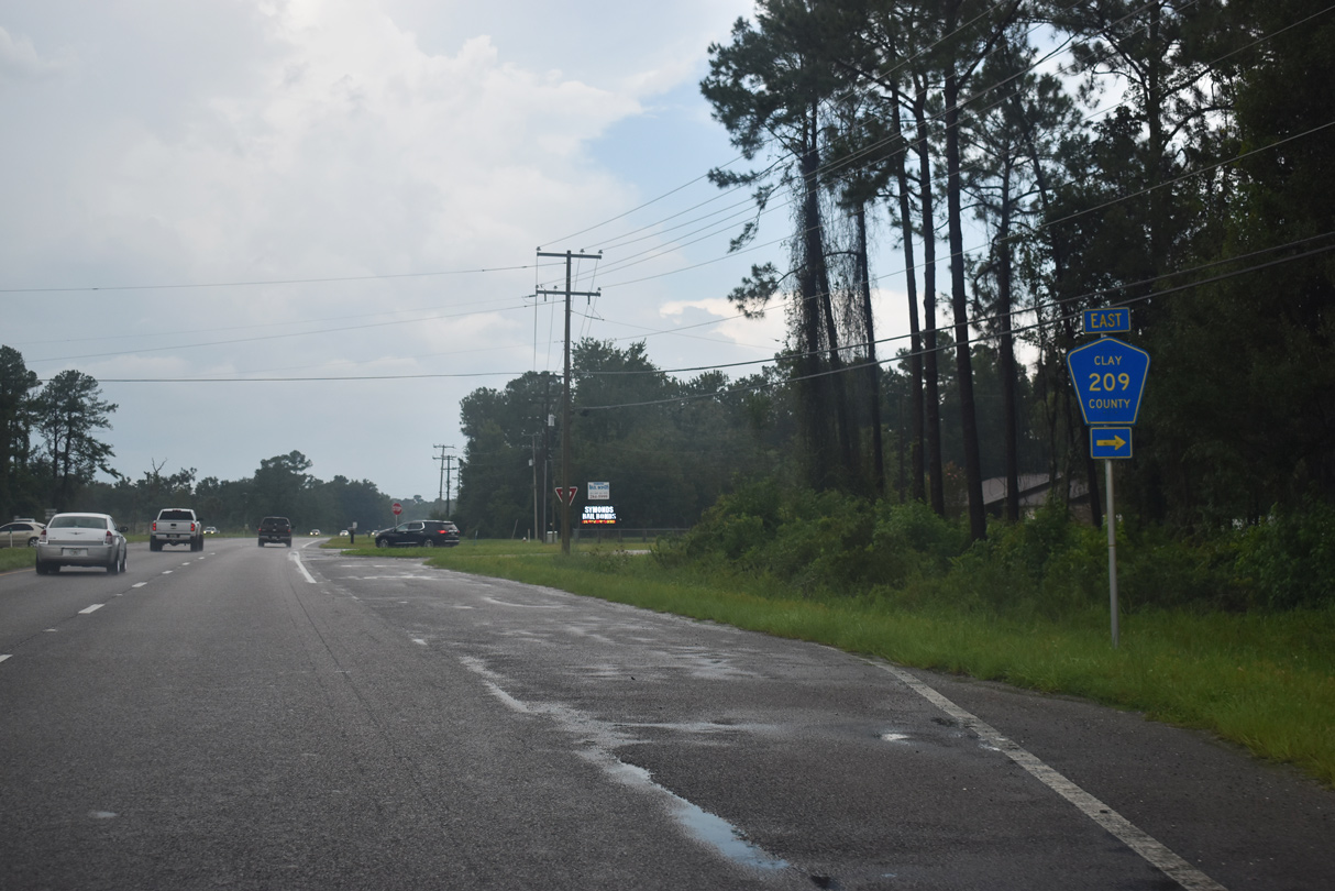
Clay County Road 209 spurs 8.14 miles south from U.S. 17 to Walkill, Brewers Landing and CR 214 north of West Toccoi.
08/12/25
08/12/25
08/12/25
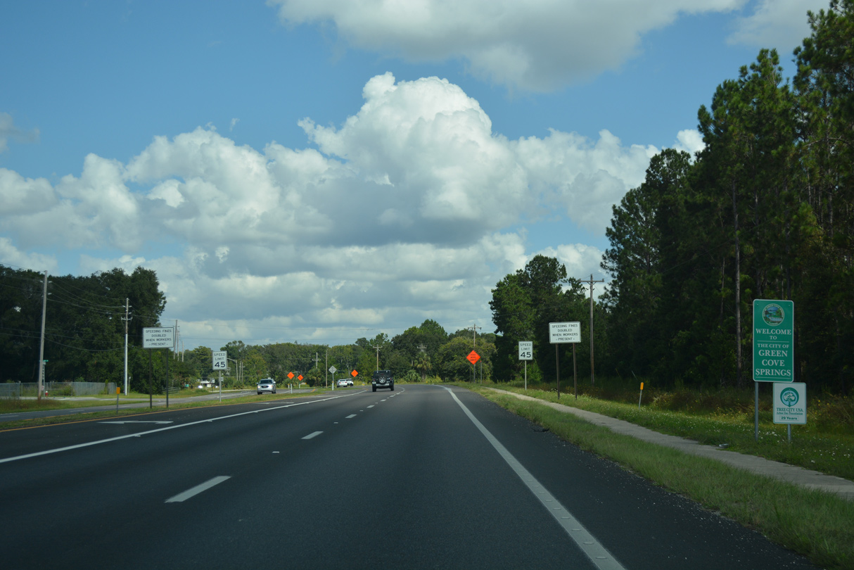
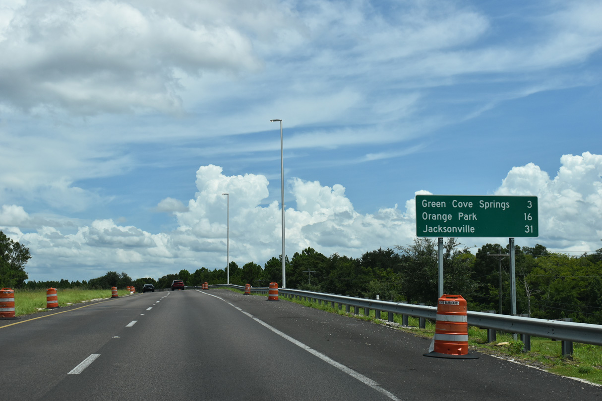
U.S. 17 north enters Green Cove Springs between Hall Park Road and Energy Cove Court.
08/12/25
08/12/25
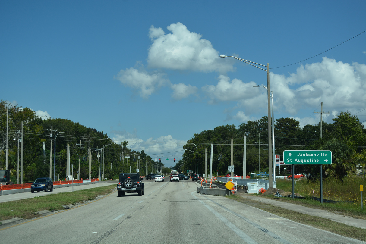
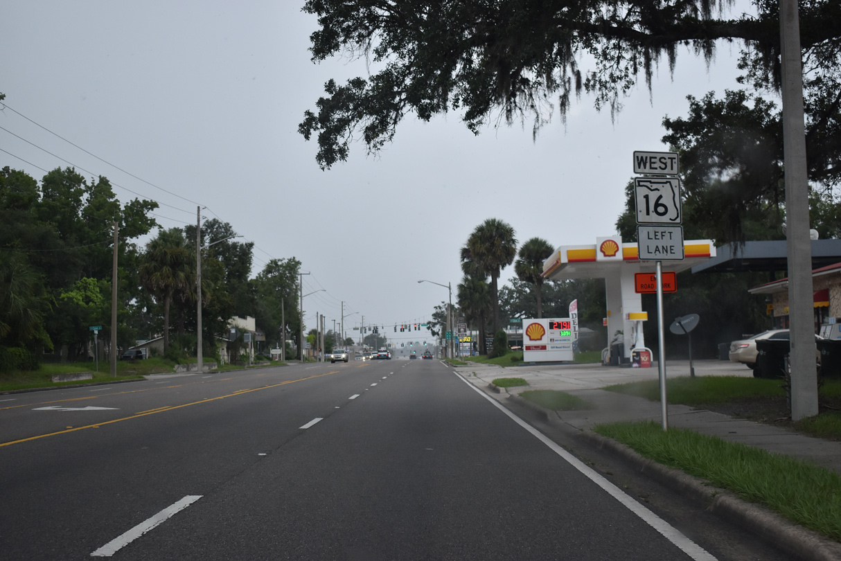
U.S. 17 converges with SR 16 west by Cove Plaza in Green Cove Spring.
08/12/25
08/12/25
State Road 16 crosses the St. Johns River on the Shands Bridge into St. Johns County. The state road travels southeast to SR 5A (former U.S. 1 Business) in St. Augustine.
08/12/25
08/12/25
North  West
West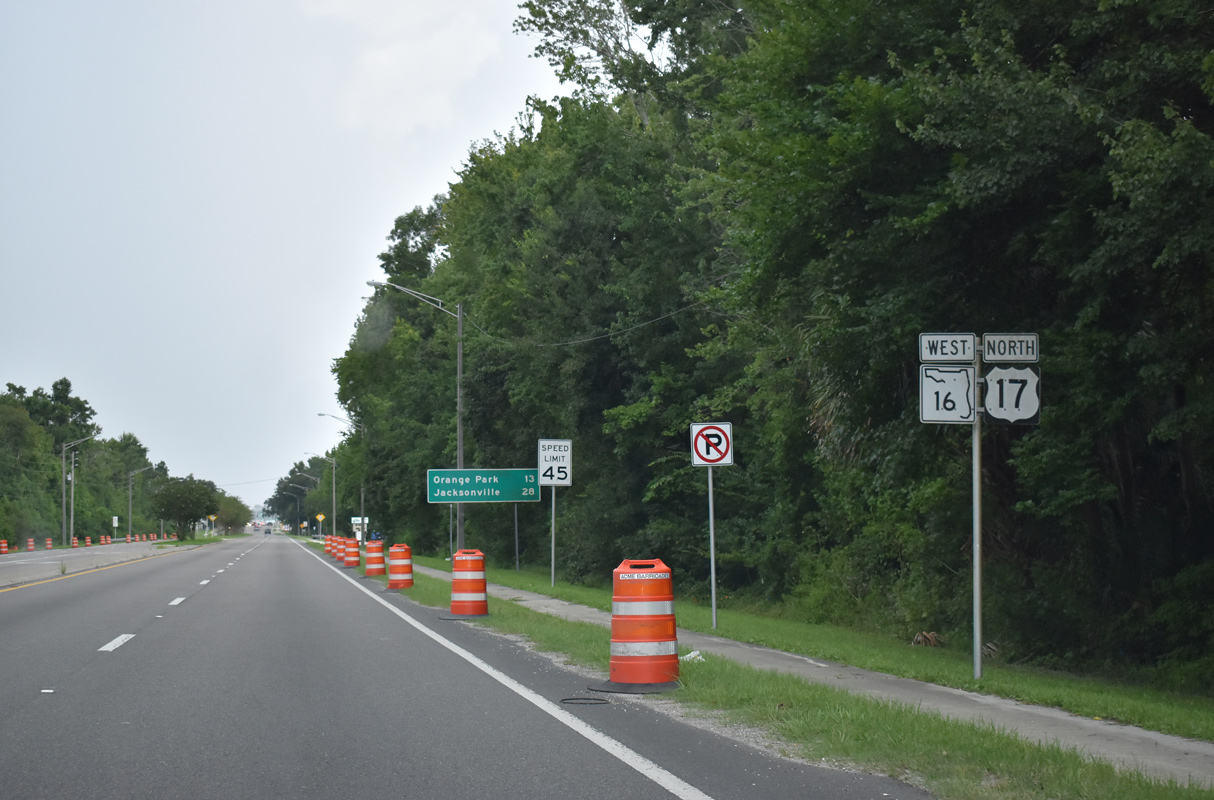
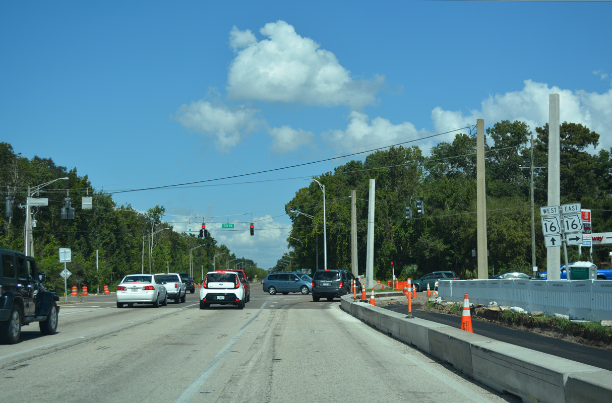
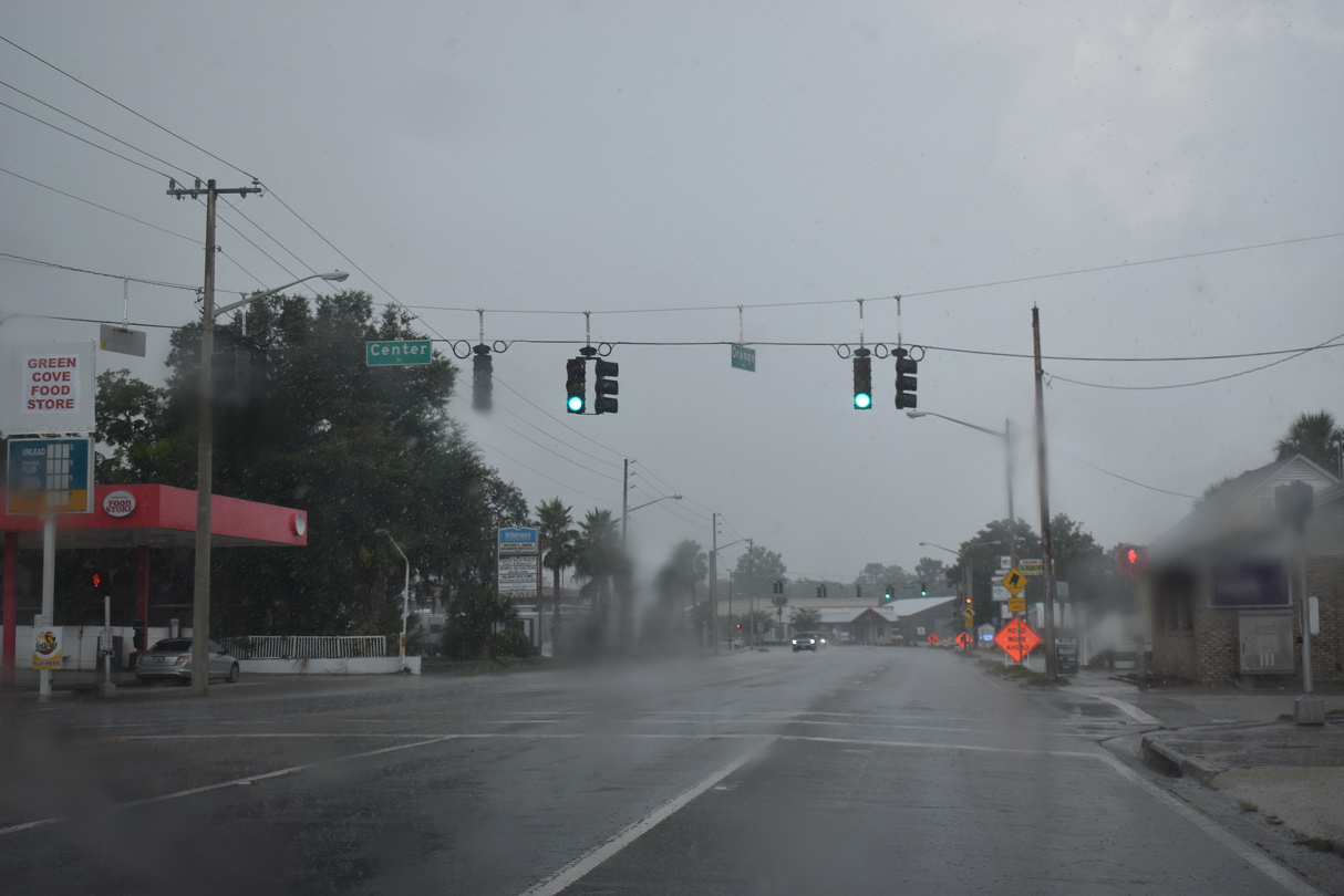
SR 16 combines with U.S. 17 (Orange Avenue) north for 0.63 miles into the Green Cove Springs business district.
07/28/18
07/28/18
07/28/18
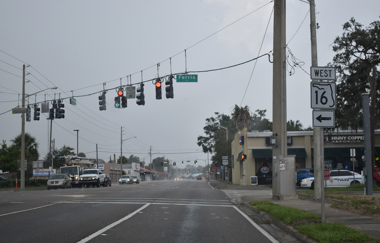
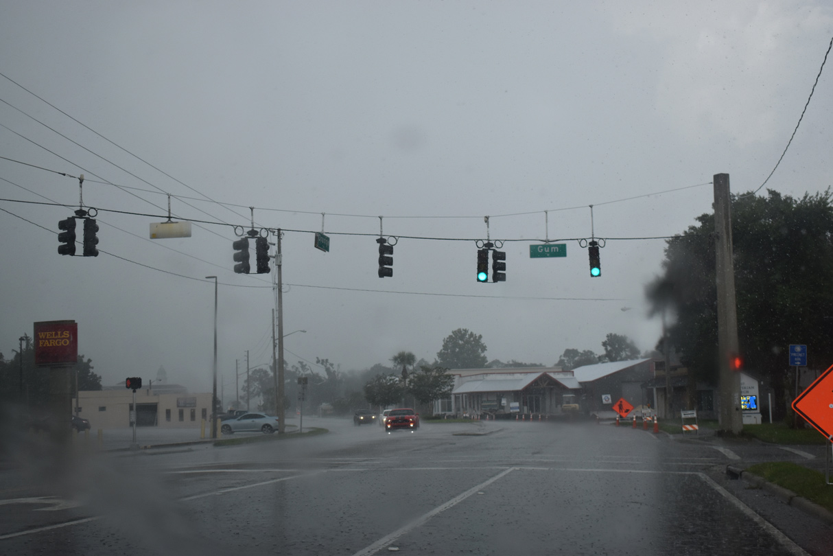
SR 16 separates with U.S. 17 (Orange Avenue) north at Ferris Street west.
07/28/18
07/28/18
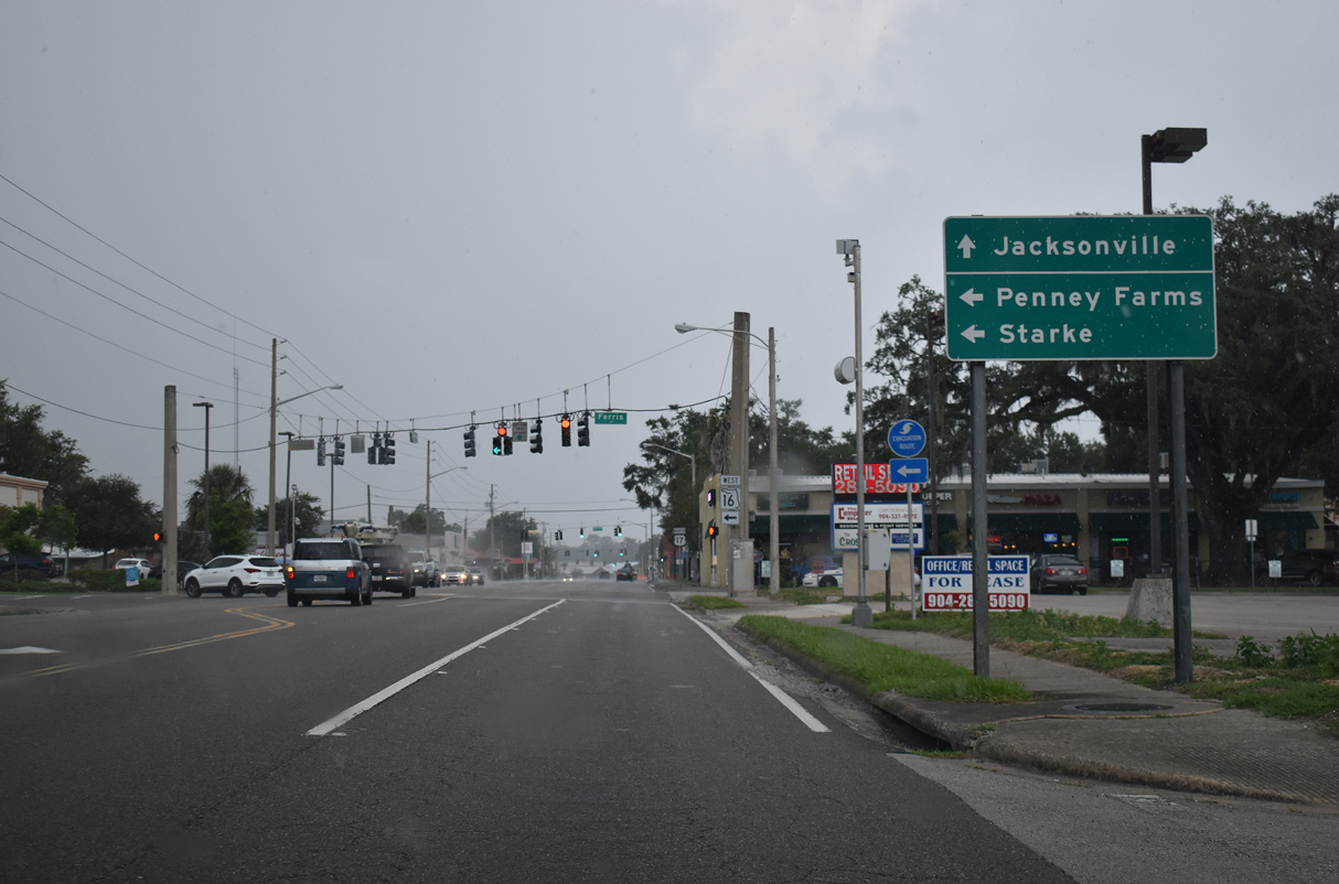
SR 16 stretches 23.61 miles west across Clay County from Green Cove Springs to Penney Farms and the Bradford County line ahead of Starke.
07/28/18
07/28/18
SR 16 extends northwest beyond Starke to SR 121 near Raiford.
07/28/18
07/28/18
North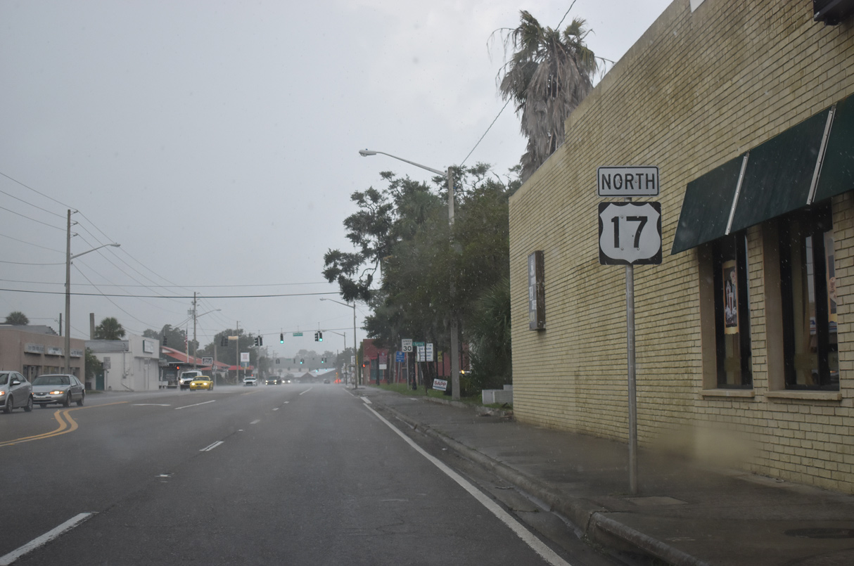
07/28/18
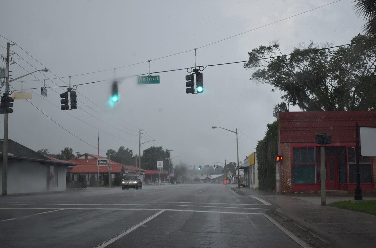
Walnut Street intersects U.S. 17 (Orange Avenue) west of Spring Park and the City Pier on the St. Johns River.
07/28/18
07/28/18
07/28/18
07/28/18
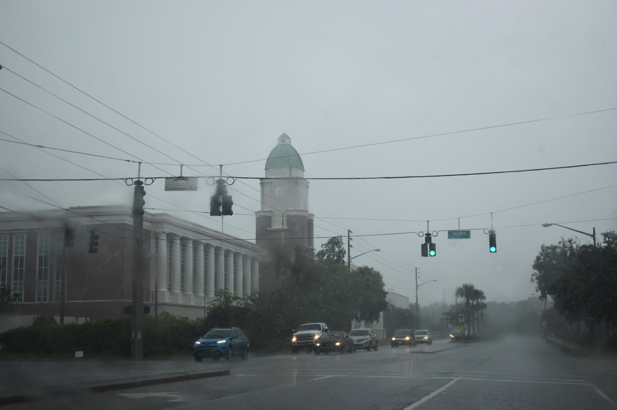
The Clay County Courthouse is located at U.S. 17 (Orange Avenue) and Houston Street in Green Cove Springs.
07/28/18
07/28/18
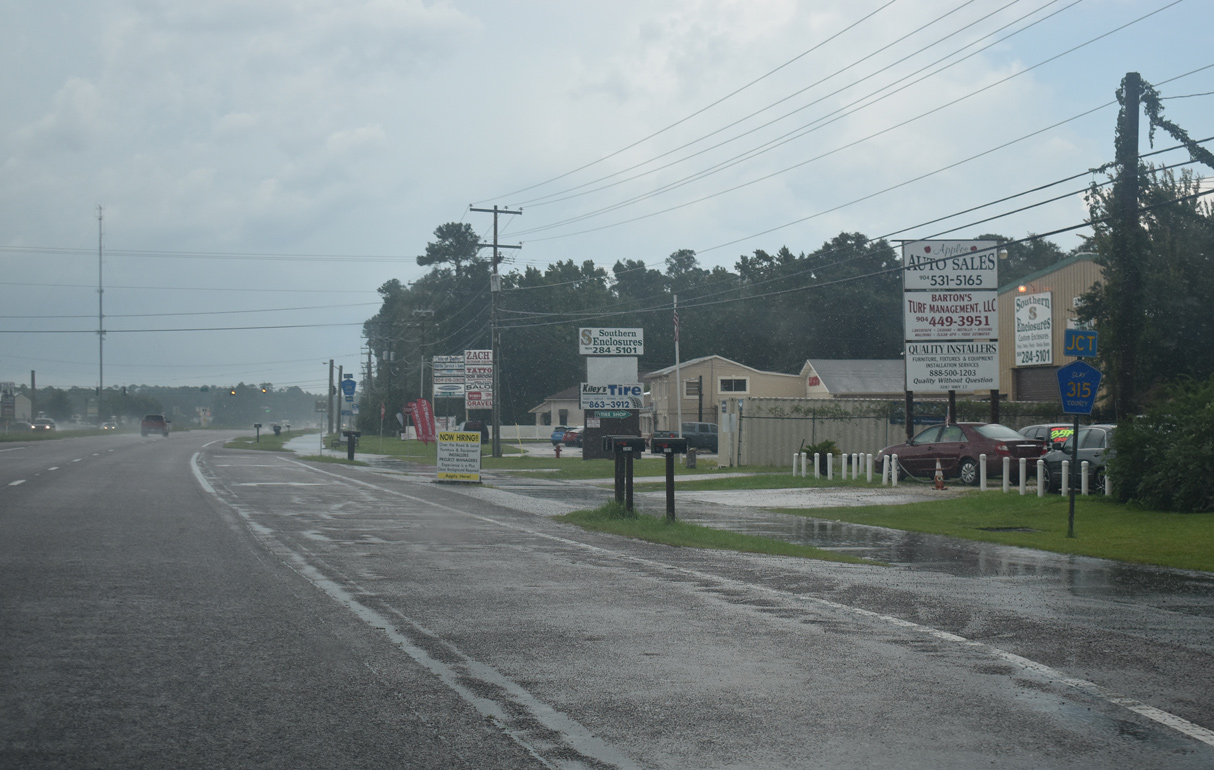
CR 315 (Gieger Road) leads west from U.S. 17 to Fellowship Park.
07/28/18
07/28/18
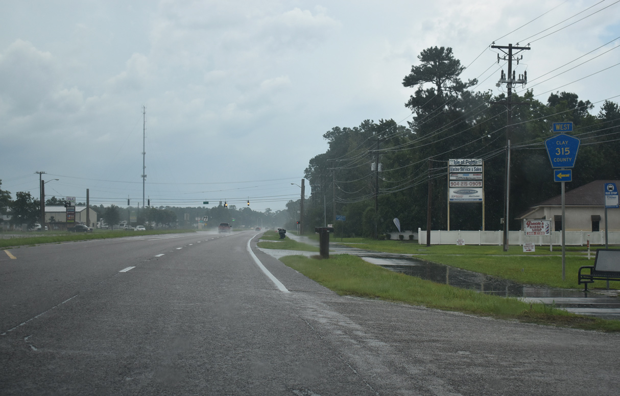
The northern branch of CR 315 comprises a 4.18 mile long loop around Green Cove Springs south to SR 16.
07/28/18
07/28/18
Another branch of CR 209 follows Russell Road northwest from U.S. 17 to CR 739 (Henley Road) near Middlebug.
07/28/18
07/28/18
The section of CR 209 along Russell Road angles 7.30 miles northwest from Green Cove Springs.
07/28/18
07/28/18
The leg of CR 209 along Riverside Road loops 1.73 miles to the east of U.S. 17.
07/28/18
07/28/18
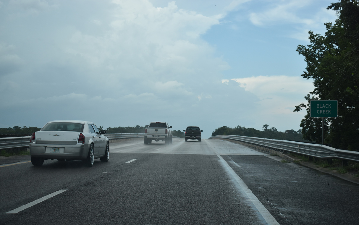
North of CR 209, U.S. 17 ascends across Black Creek west of Wilkies Point along the St. Johns River.
07/28/18
07/28/18
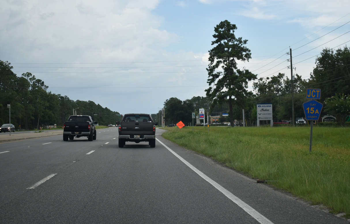
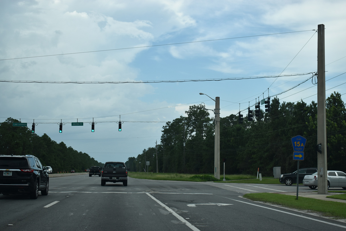
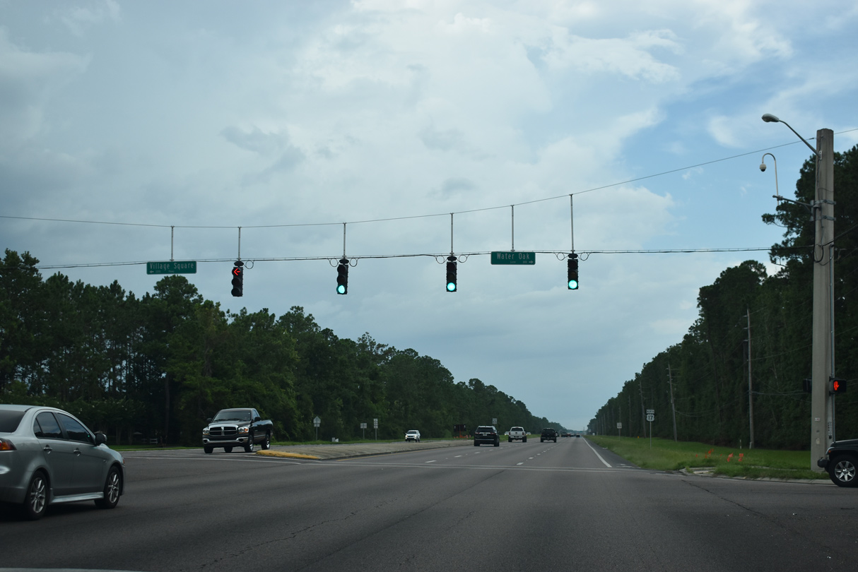
Continuing onto Fleming Island, U.S. 17 meets CR 15A north along Hibernia Road at Fleming Plantation Road west.
07/28/18
07/28/18
CR 15A comprises a 3.33 mile long loop east toward Hibernia and north along Pine Avenue to Bald Eagle Road and back to U.S. 17 at CR 220 (Doctors Inlet Road).
07/28/18
07/28/18
07/28/18
07/28/18
07/28/18
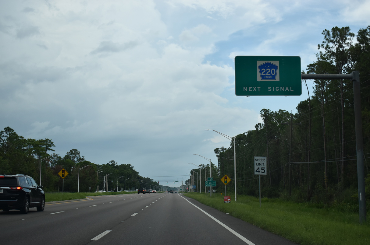
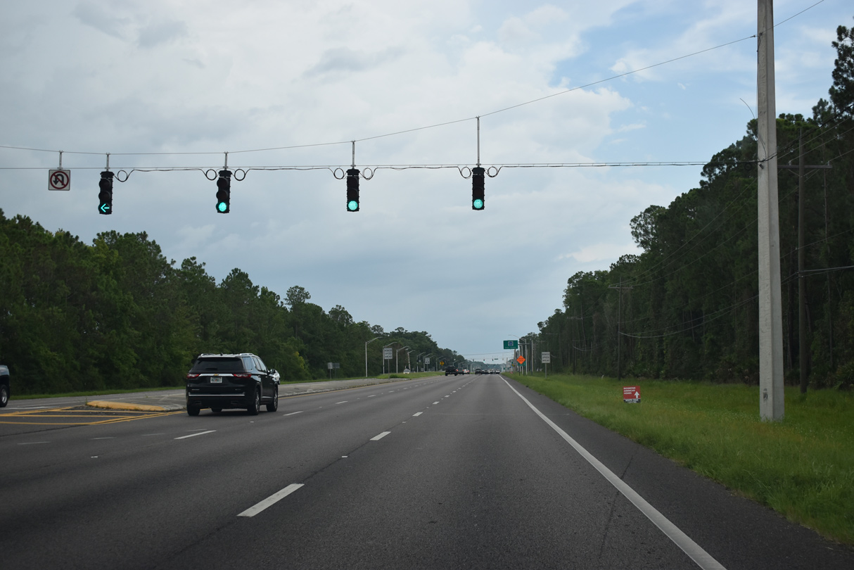
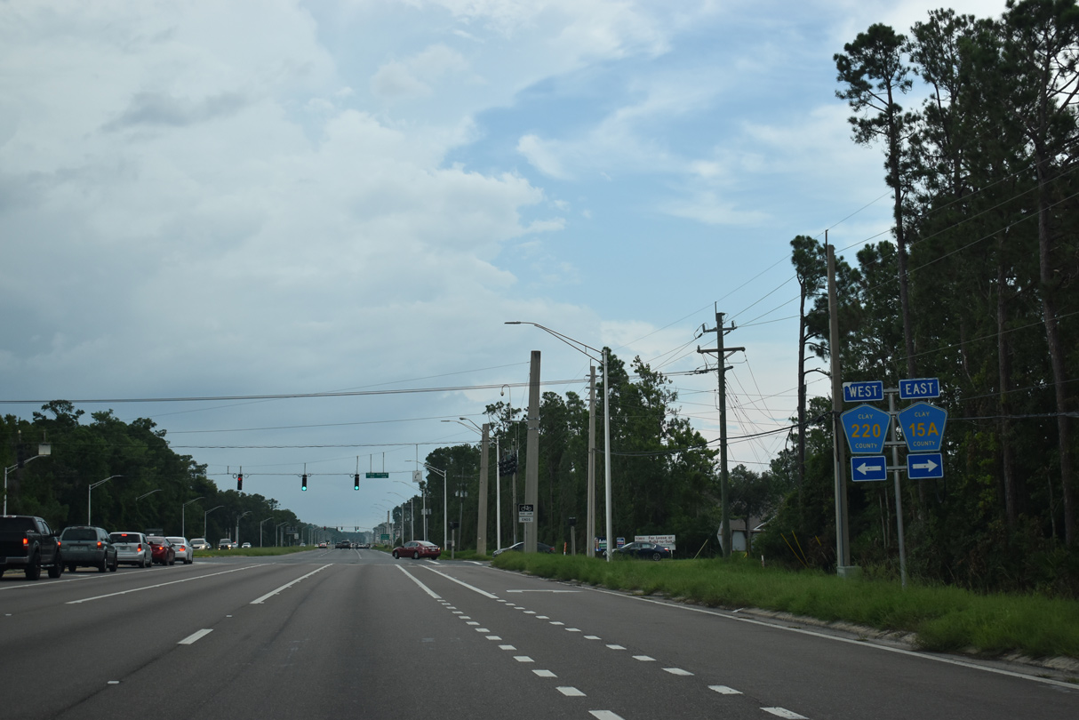
Forthcoming CR 220 is a major arterial joining Fleming Island with Doctors Inlet to the west.
07/28/18
07/28/18
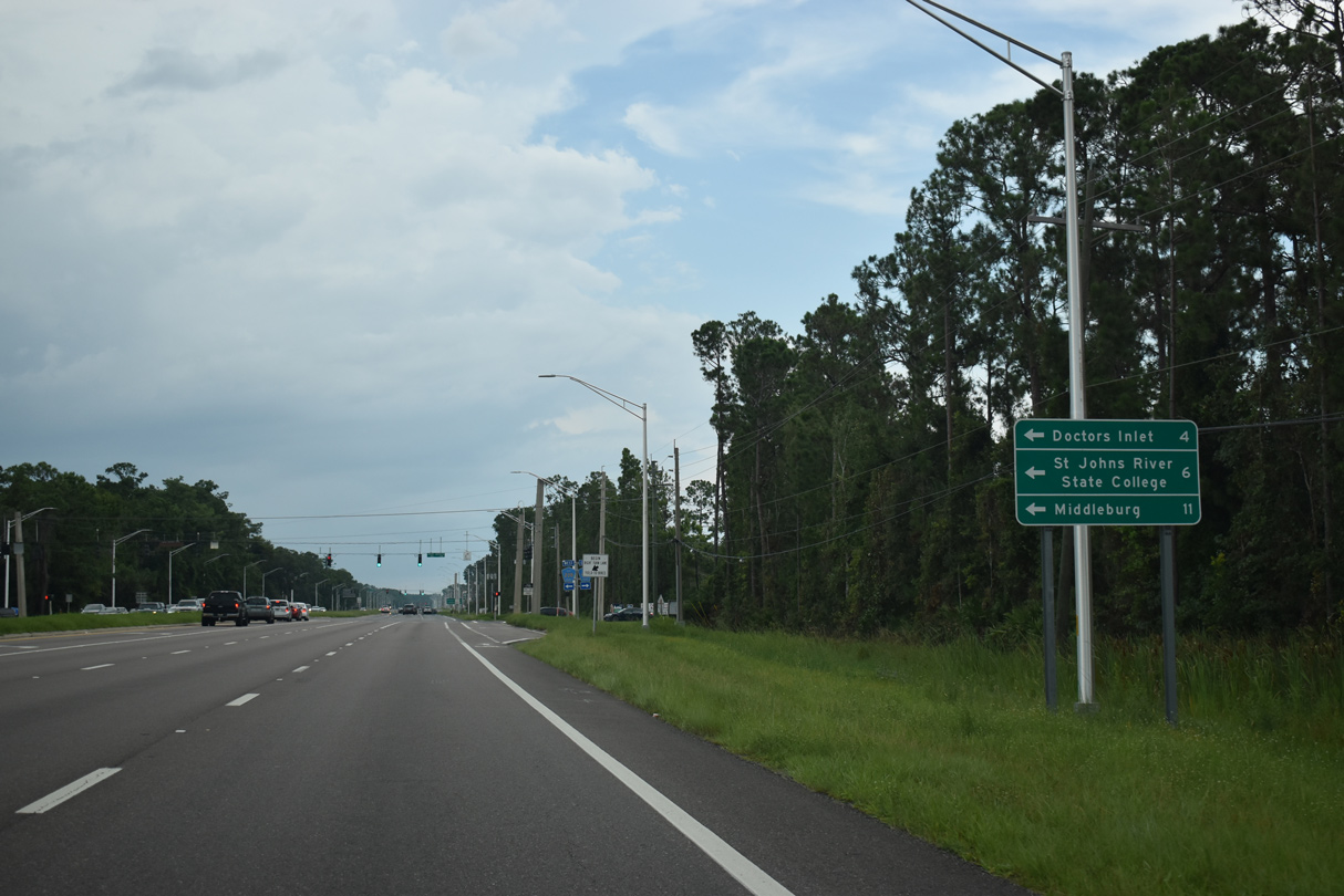
Measuring 10.95 miles overall, CR 220 extends west beyond Doctors Inlet to SR 21 (Blanding Boulevard) at Middleburg.
07/28/18
07/28/18
07/28/18

07/28/18
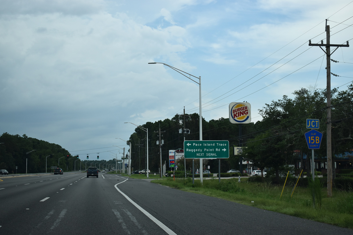
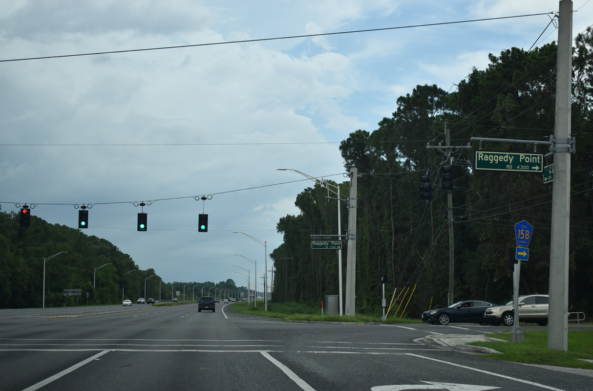
Raggedy Point Road southeast from U.S. 17 at Moccasin Slough Park is CR 15B.
07/28/18
07/28/18
07/28/18
07/28/18
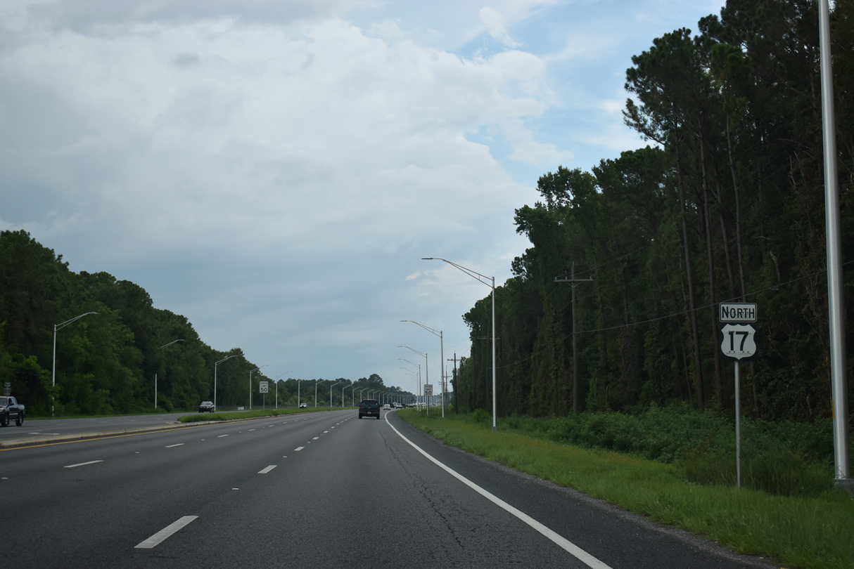
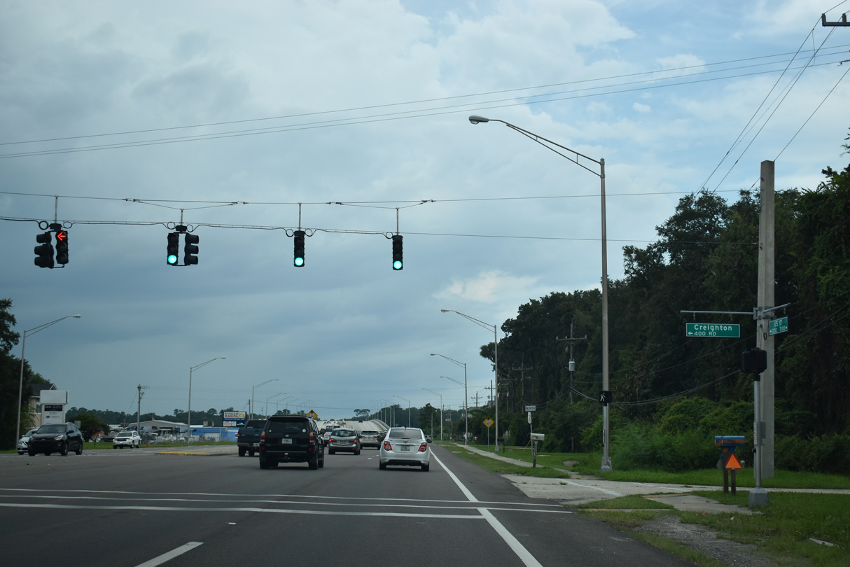
Signed as another branch of CR 15A, Westover Road spurs 0.6 miles southeast from U.S. 17 on Creighton Island toward the St. Johns River.
07/28/18
07/28/18
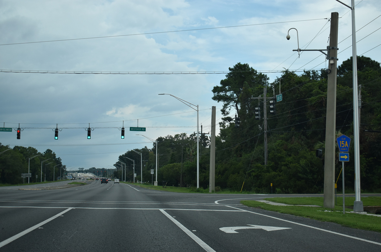
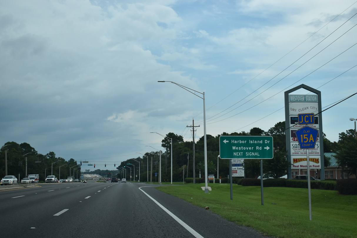
Harbor Island Drive ties into CR 15A (Westover Road) at U.S. 17 from the Harbor Island development to the west.
07/28/18
07/28/18
07/28/18
07/28/18
07/28/18
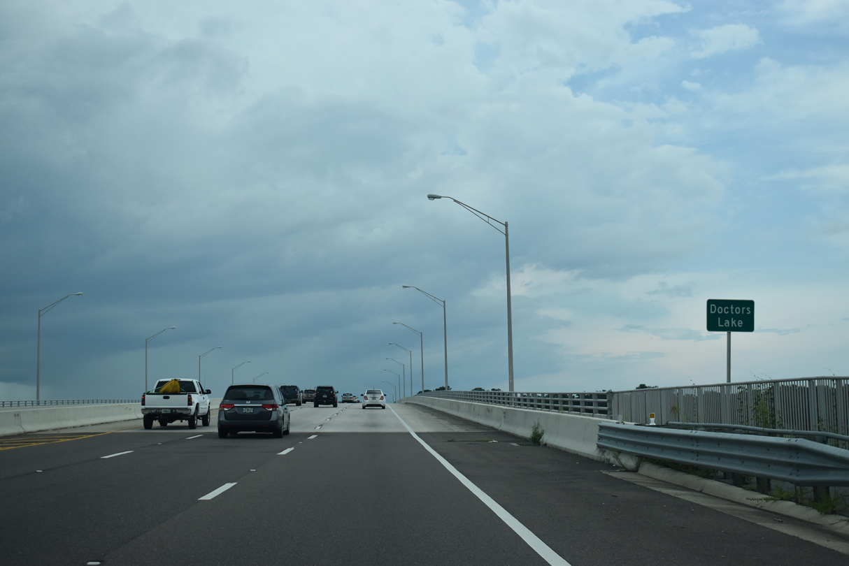
U.S. 17 spans Doctors Inlet, the waterway flowing between Doctors Lake and the St. Johns River, southwest of Orange Point.
07/28/18
07/28/18
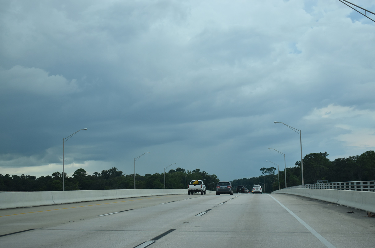
The fixed spans across Doctors Lake were built in 1971 and expanded to six lanes in 2010.
07/28/18
07/28/18
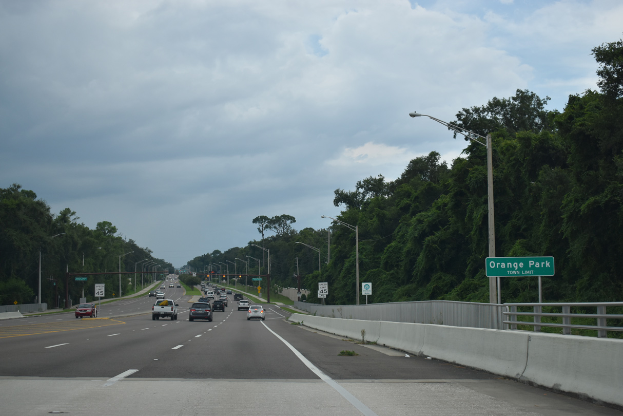
U.S. 17 enters the town of Orange Park at the north end of Doctors Inlet.
07/28/18
07/28/18
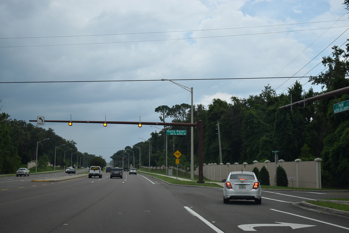
Holly Point Road W (unsigned CR 1177) branches northwest to Plainfield Avenue and SR 224.
07/28/18
07/28/18
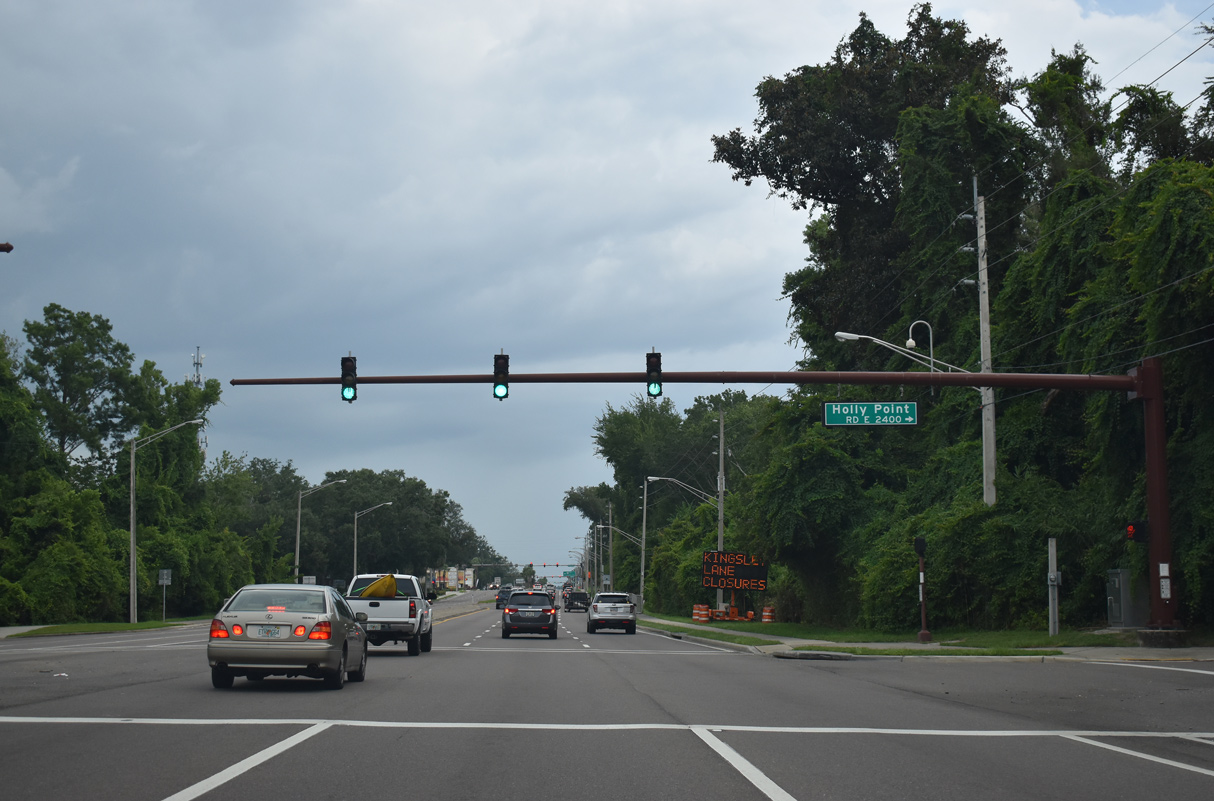
07/28/18
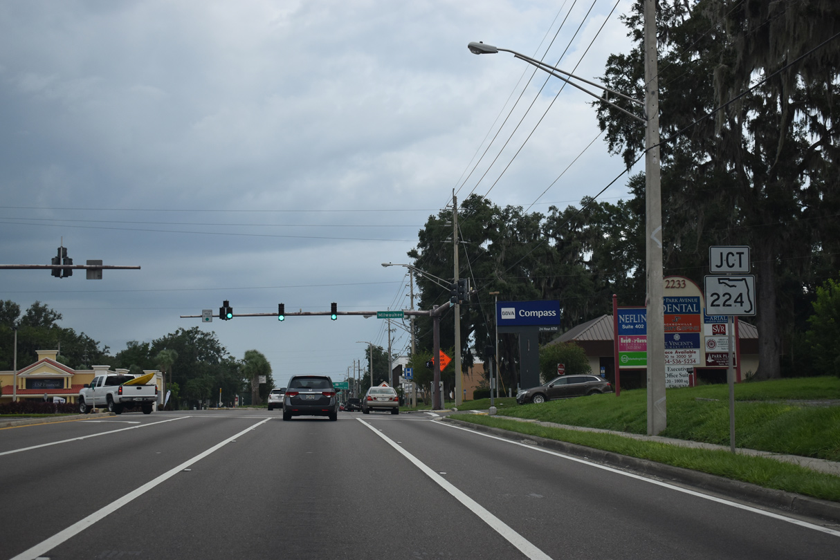
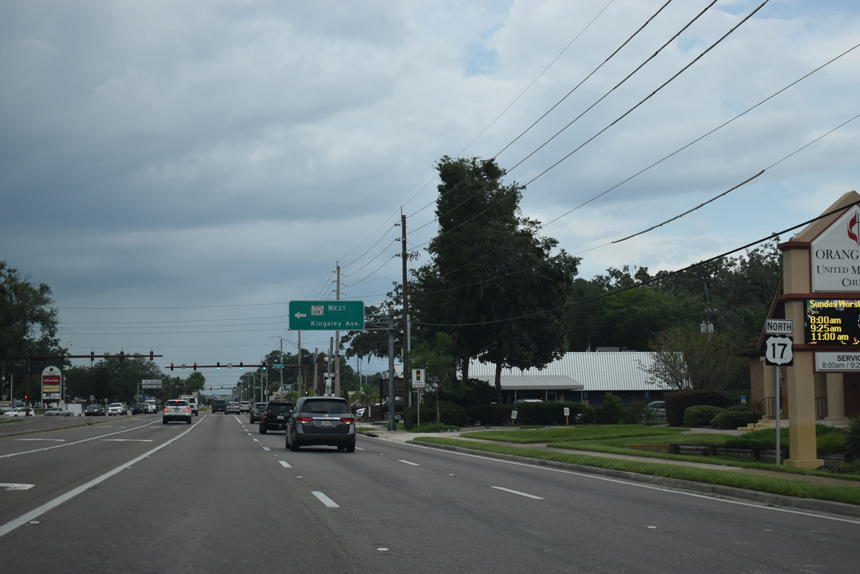
U.S. 17 (Park Avenue) intersects the east end of SR 224 (Kingsley Avenue) two blocks north of Milwaukee Avenue.
07/28/18
07/28/18
07/28/18
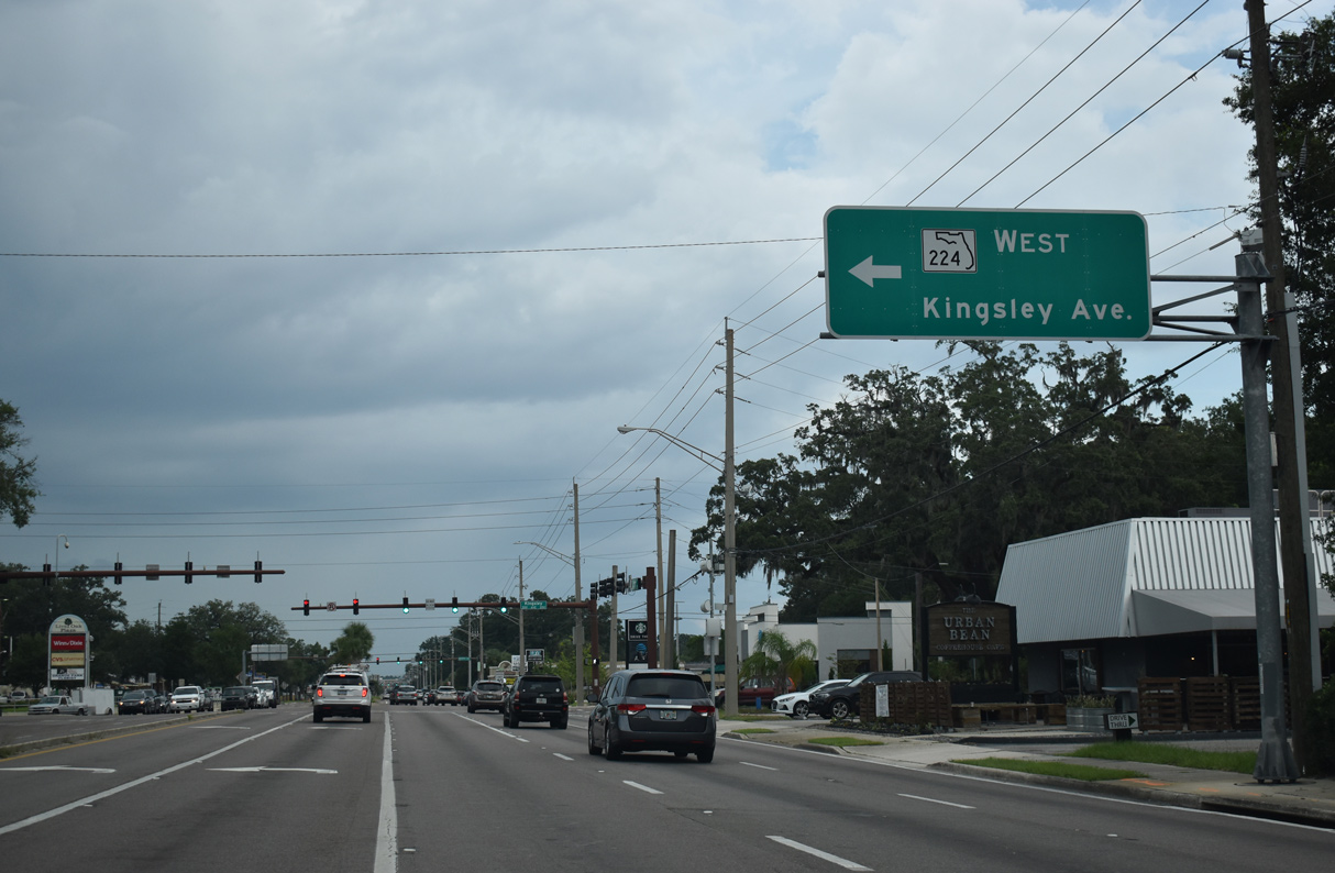
SR 224 is an arterial route linking U.S. 17 (Park Avenue0 with SR 21 (Blanding Boulevard), 2.78 miles to the west.
07/28/18
07/28/18
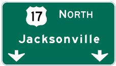
Photo Credits:
- ABRoads: 10/06/18
- Alex Nitzman: 06/12/08, 07/28/18, 10/06/18, 08/12/25
Connect with:
Page Updated Wednesday August 13, 2025.