
U.S. 19E

U.S. 19E runs east from U.S. 19/19W at Cane River in Yancey County to Avery County in the Blue Ridge Mountains, and north to Tennessee near Elk Park. U.S. 19E is 45.13 miles long in North Carolina.
Paralleling the Cane River, U.S. 19E passes south of Cane Mountain to Riverside and between the Green Mountains and Ferguson Hill into the town of Burnsville. Continuing east, U.S. 19E reaches Micaville south of Cedar Cliff Ridge and the town of Spruce Pine beyond Chalk and Pine Mountains.
Shifting northward from Spruce Pine around Tempa Mountain, U.S. 19E proceeds around Buck Ridge to cross the North Toe River at Pisgah National Forest. U.S. 19E follows the river from Ingalls alongside Cane Creek Mountain to Spear, Plumtree and Roaring Creek. Separating with the North Toe River at Minneapolis, U.S. 19E lines a valley between Big Yellow Mountain and Belview Mountain northward to Cranberry and NC 194 near the town of Elk Park.
The North Carolina Department of Transportation (NCDOT) expanded eight miles of U.S. 19E from NC 80 at Micaville in Yancey County to the four lane highway just west of Spruce Pine in Mitchell County. Future plans extend the four lane section east from Spruce Pine into Avery County. Completed in October 2020, the $64.9 million project took less than six years to complete.1
 South
South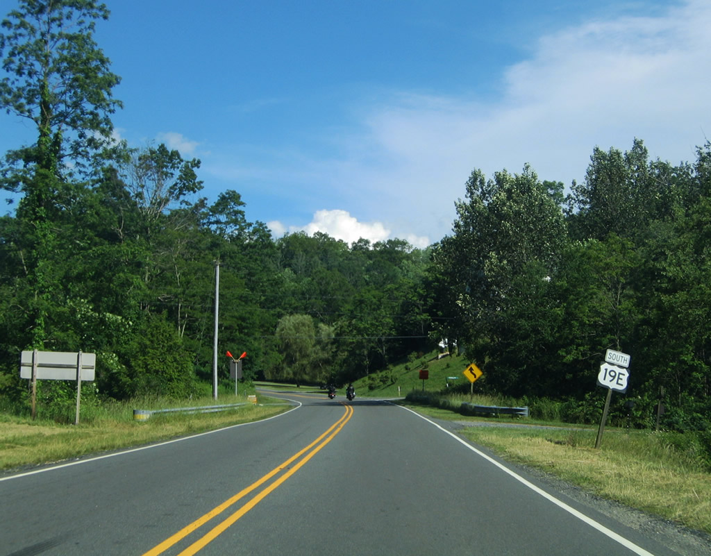
U.S. 19E continues southeast from NC 194 (Three Mile Highway) at Ingalls between Bent Ridge and Mullin Hill. Hanging Rock Road (SR 1107) forms a loop with Gouges Creek Road, 3.80 miles west from U.S. 19E to Gouges Creek Road (SR 1137) in Mitchell County. Gouges Creek Road leads 2.94 miles south to U.S. 19E east of Spruce Pine.
06/17/05
U.S. 19E widens to four lanes as it enters the town of Spruce Pine. Bypassing Downtown to the south, U.S. 19E combines with NC 225 for a 0.75 mile overlap. Spruce Pine is the largest community along U.S. 19E in North Carolina.
06/17/05
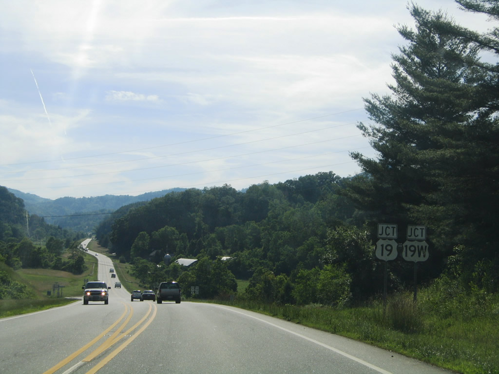
U.S. 19E converges with U.S. 19 and U.S. 19W at Possum Trot Road (SR 1128) and Cane River. U.S. 19E/19W combine into U.S. 19, which continues from this point southward to Palmetto, Florida.
06/17/05

U.S. 19W parallels the Cane River northward 13.6 miles to Ramseytown along a 22.10 mile course to the Tennessee state line across the Bald Mountains.
06/17/05
References:
- "NCDOT Completes Major Mountain Highway Project." North Carolina Department of Transportation (NCDOT), press relase. October 16, 2020.
Photo Credits:
- Alex Nitzman: 06/17/05
Connect with:
Page Updated Tuesday May 11, 2021.