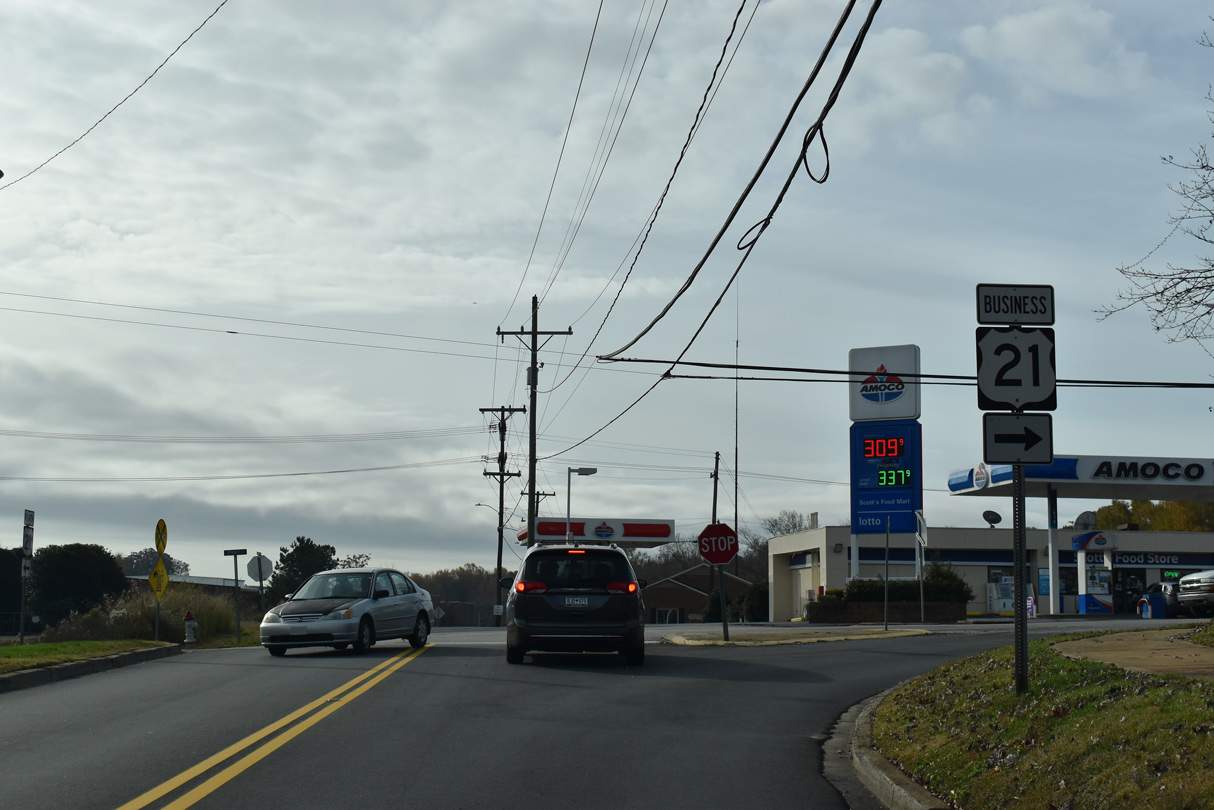
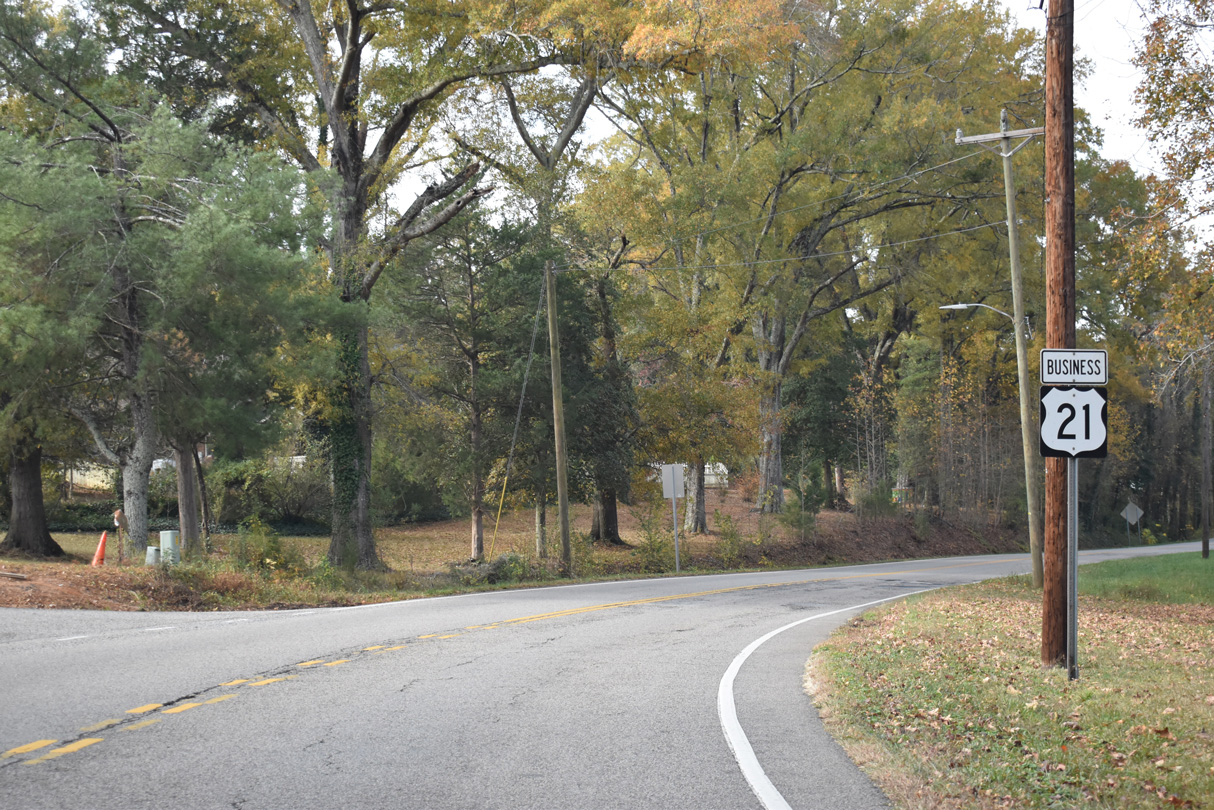
U.S. 21 Business through Fort Mill in York County constitutes a 7.06 mile long loop. The bannered route branches 1.84 miles east from U.S. 21 at S Sutton Road (Road 49) along S Spratt Street to White Street and the Fort Mill business district.
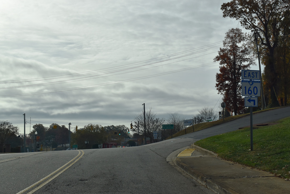
S.C. 160 combines with U.S. 21 Business (White Street) for 0.39 miles from Main Street north to Walter Elisha Park in Fort Mill. S.C. 160 continues White Street northwest while U.S. 21 shifts onto Old Nation Road northeast 2.90 miles to S.C. 460 (Springfield Parkway) beyond Steele Creek.
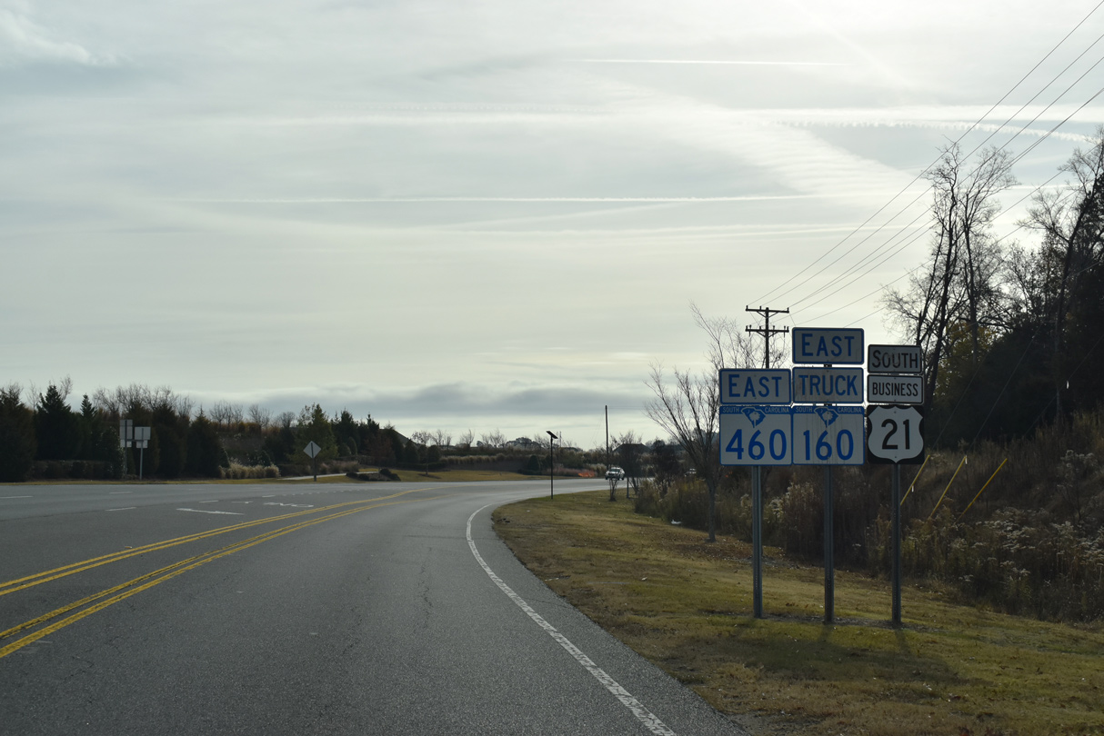
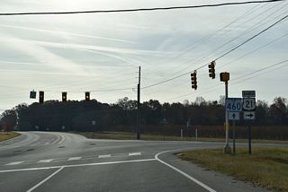
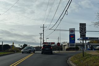
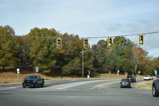
U.S. 21 Business joins S.C. 460 (Springfield Parkway) 0.61 miles north from Carolina Orchards Boulevard alongside the Carolina Orchards development to the northern branch of Old Nation Road. U.S. 21 Business converges with U.S. 21 north beyond several apartment complexes, 0.79 miles south of MSR 51.

South

East

U.S. 21 Business south and S.C. 460/160 Truck east overlap for 0.61 miles.
11/21/21
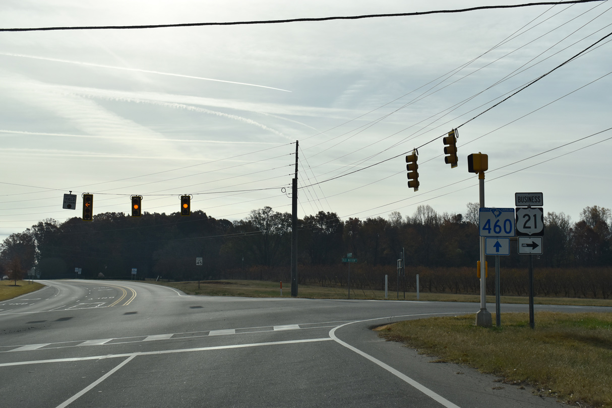
S.C. 460/160 Truck (Springfield Parkway) continues 3.23 miles south to S.C. 160 at Tom Hall Street. U.S. 21 Business (Old Nation Road) angles southwest 2.90 miles to S.C. 160 along White Street.
11/21/21
South
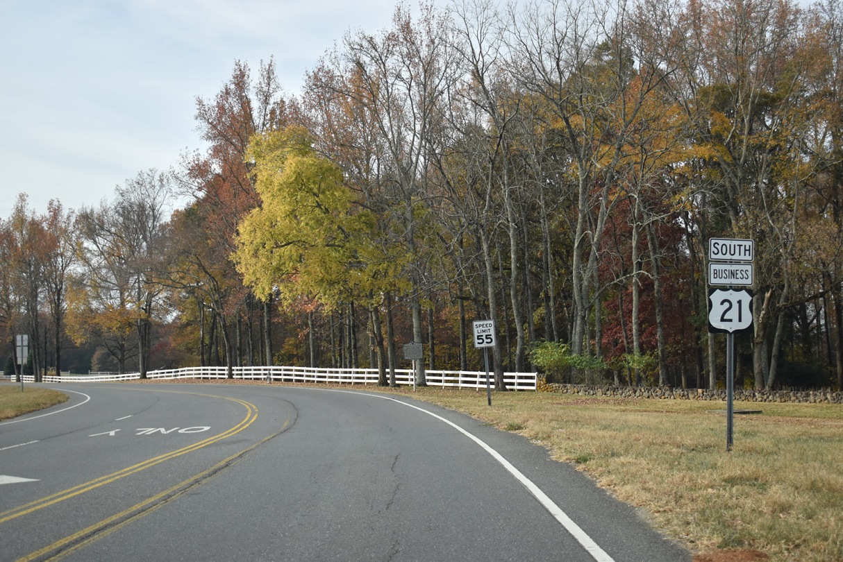
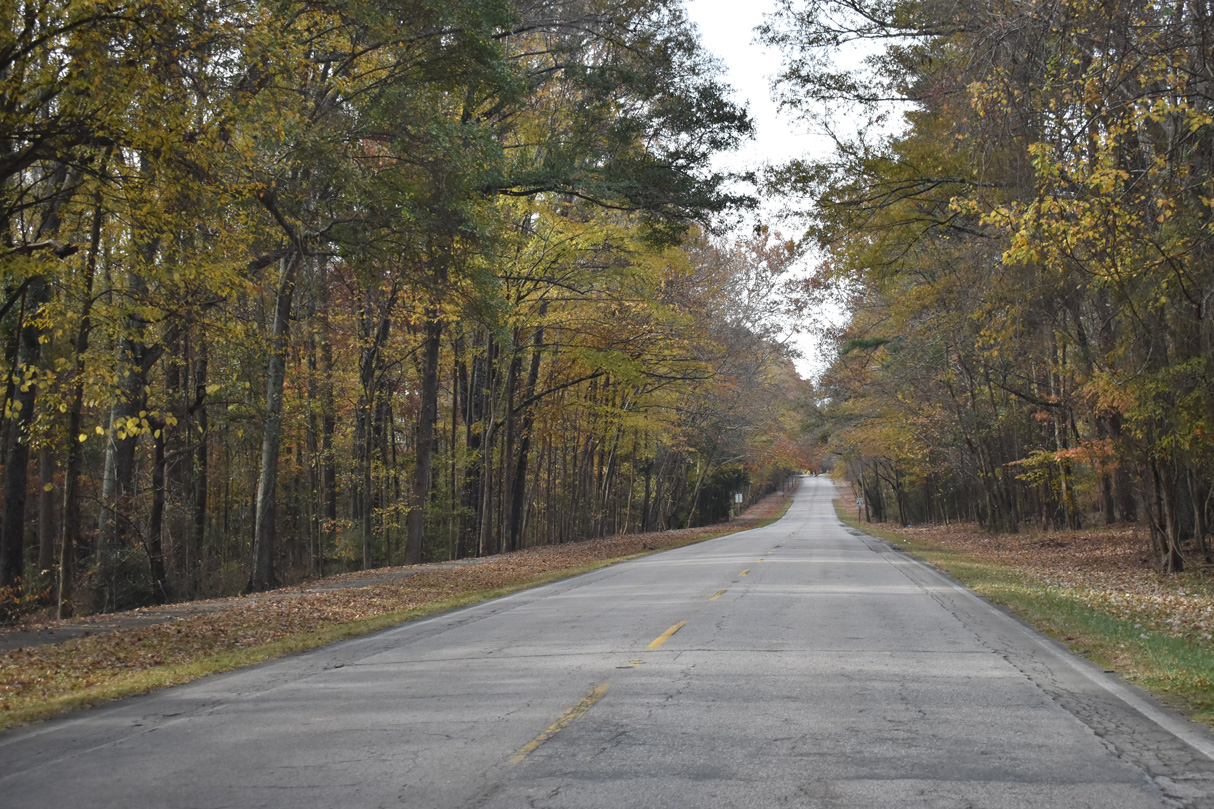
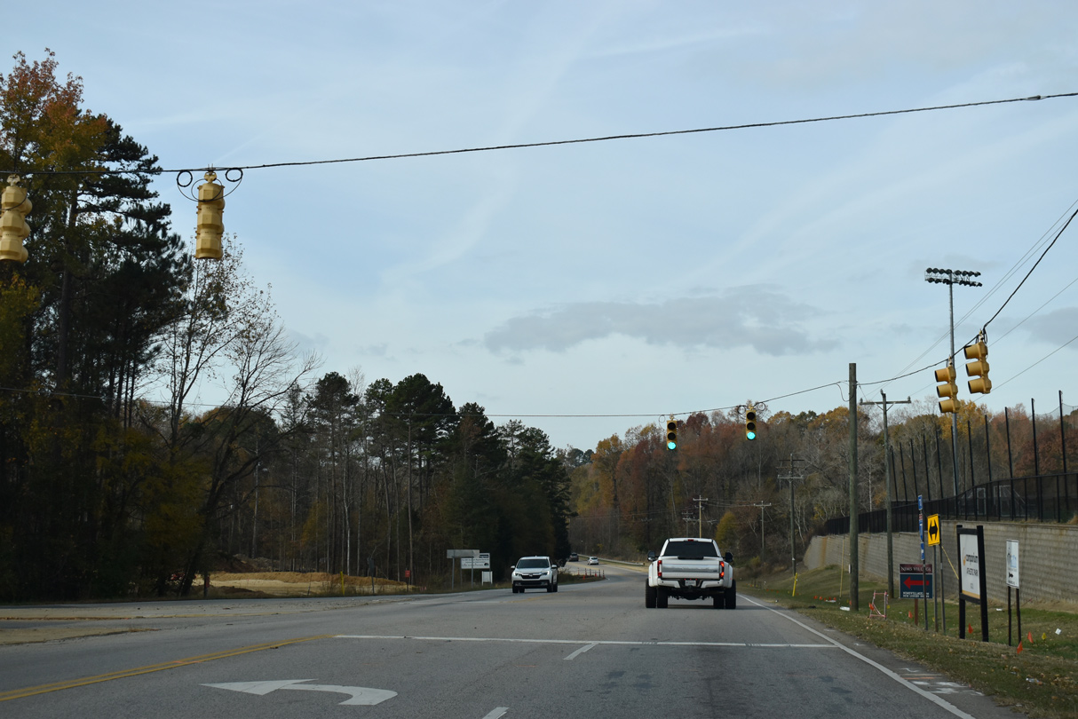
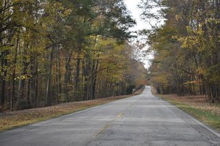
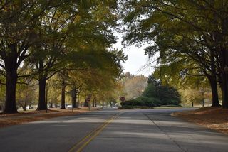
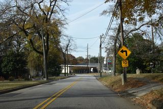
U.S. 21 Business (Old Nation Road) proceeds south from S.C. 460 (Springfield Parkway) through parkland within Anne Springs Close Greenway.
11/21/21

11/21/21
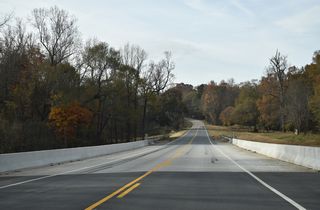
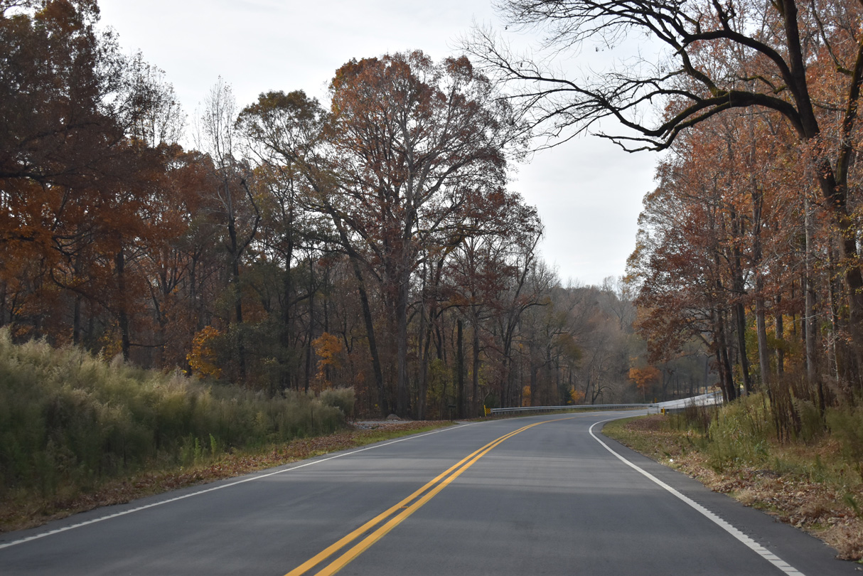
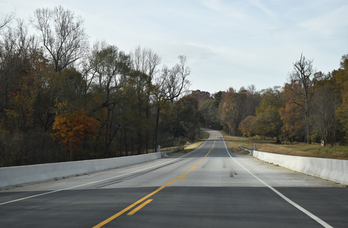
The bridge spanning Steele Creek along U.S. 21 Business was rebuilt in 2020.
11/21/21
11/21/21
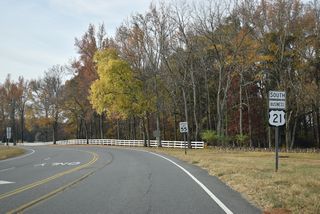
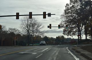
U.S. 21 Business (Old Nation Road) partitions with southbound using S.C. 160 Connector for 0.06 miles to S.C. 160 (White Street N).
11/21/21

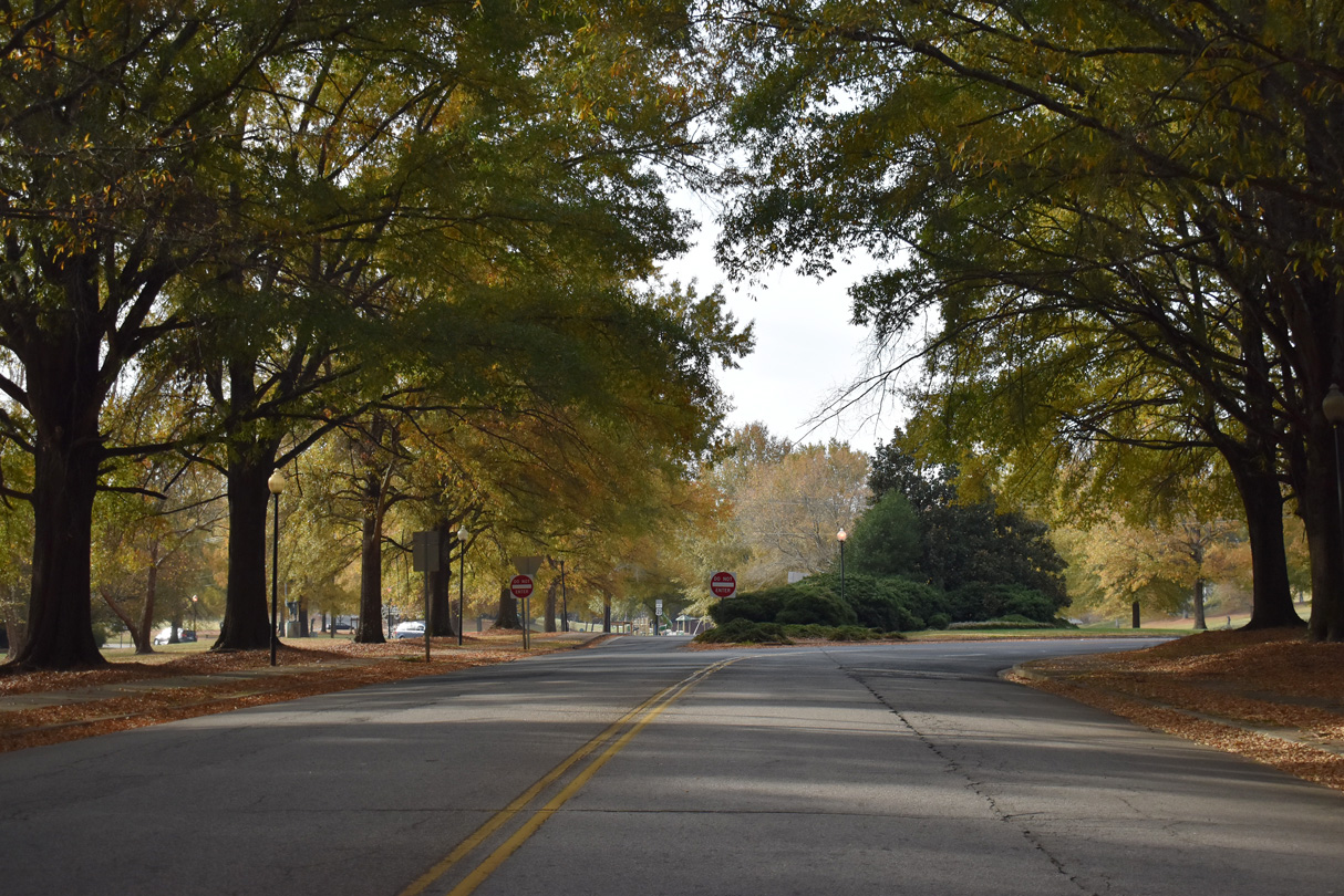
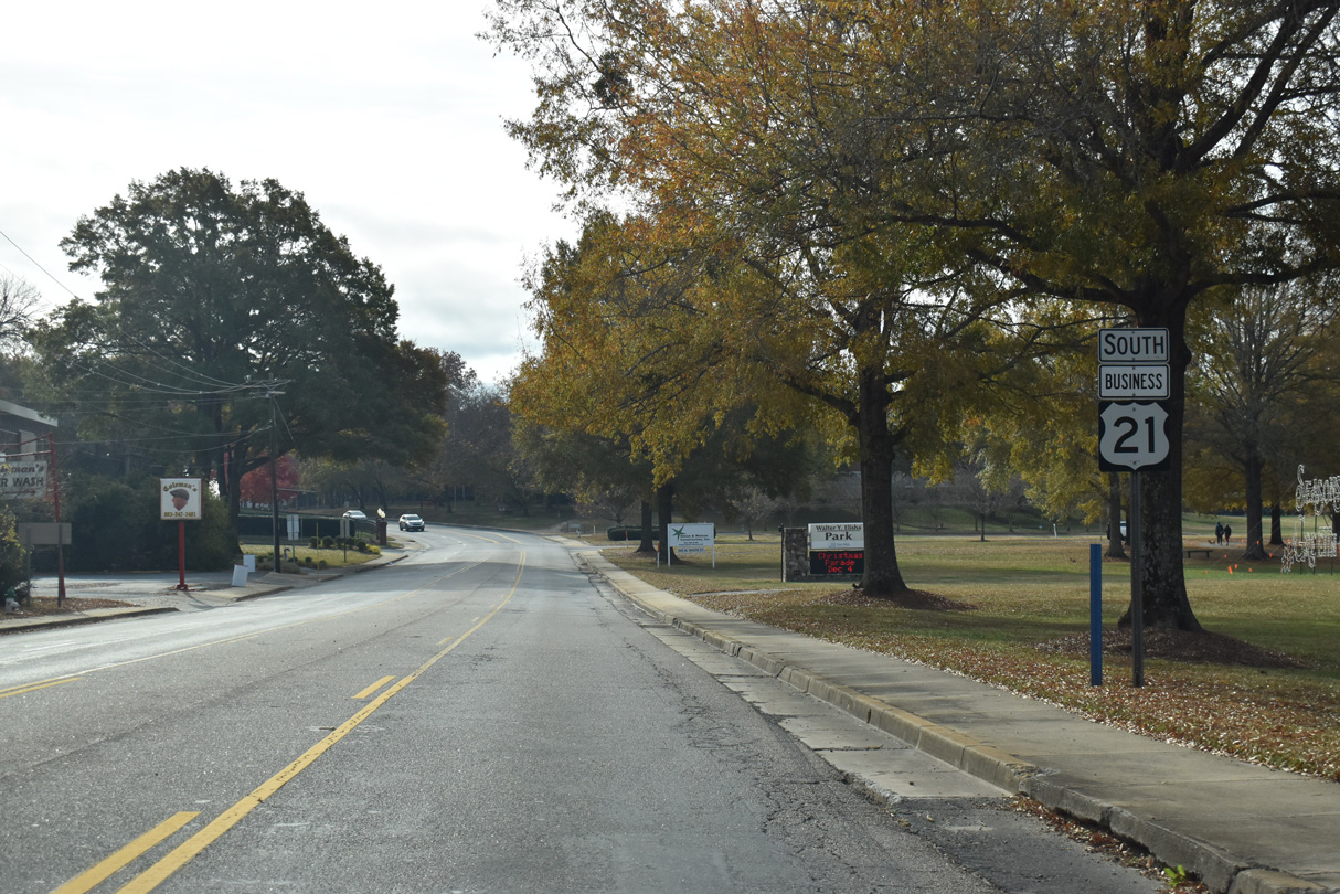
U.S. 21 Business combines with S.C. 160 (White Street) east at Walter Elisha Park.
11/21/21
South

East

U.S. 21 Business/S.C. 160 (White Street N) overlap 0.39 miles south from Walter Elisha Park to Main Street at Millstone Park.
11/21/21
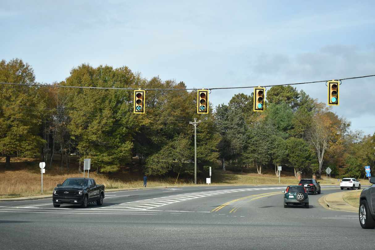
McCammon Street north and Clebourne Street (Road 96) west come together at a signalized intersection with U.S. 21 Business/S.C. 160 (White Street).
11/21/21
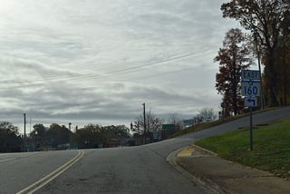
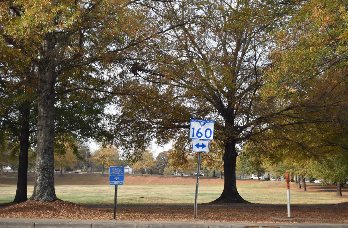
S.C. 160 separates from U.S. 21 Business for Main Street east 0.15 miles to Tom Hall Street at Clebourne Street.
11/21/21

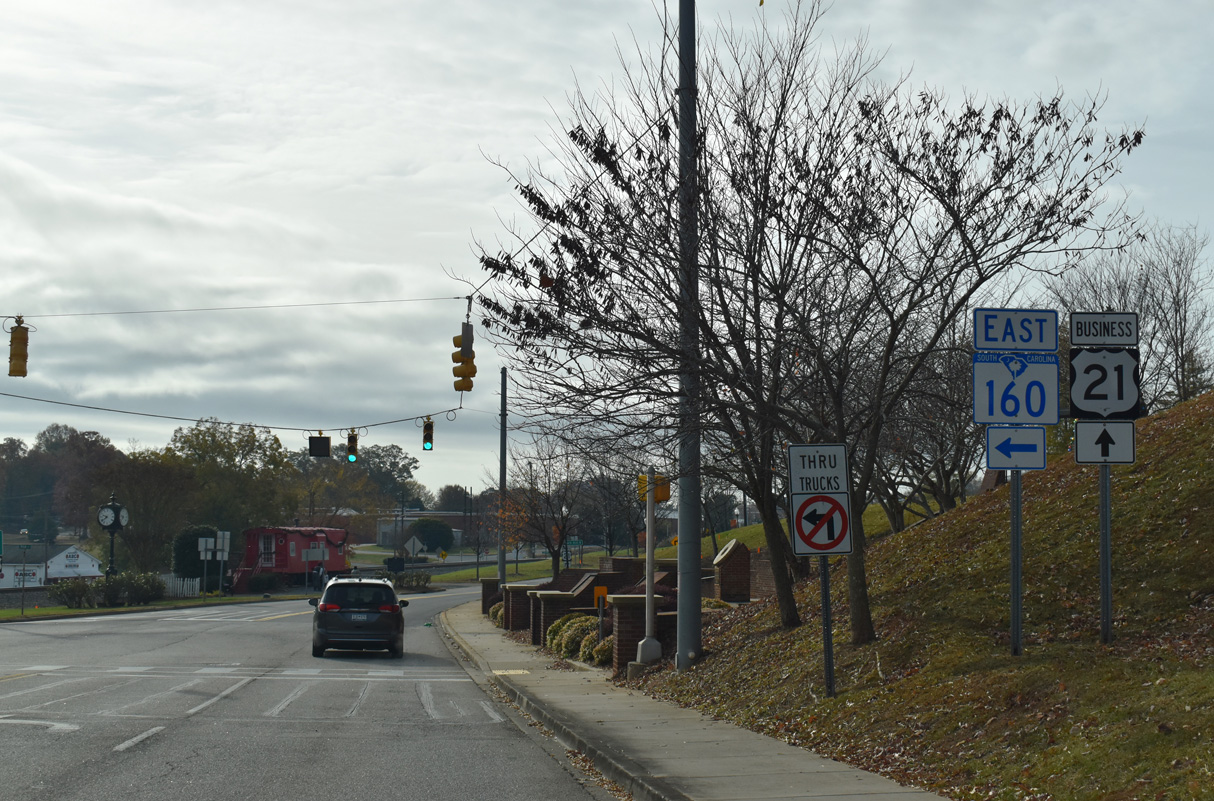
S.C. 160 east to U.S. 521 south from Indian Land leads motorists to the Lancaster County seat of Lancaster.
11/21/21

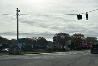
U.S. 21 Business (White Street) parallels a Norfolk Southern Railroad line south from S.C. 160 at Main Street 0.12 miles to Spratt Street.
11/21/21
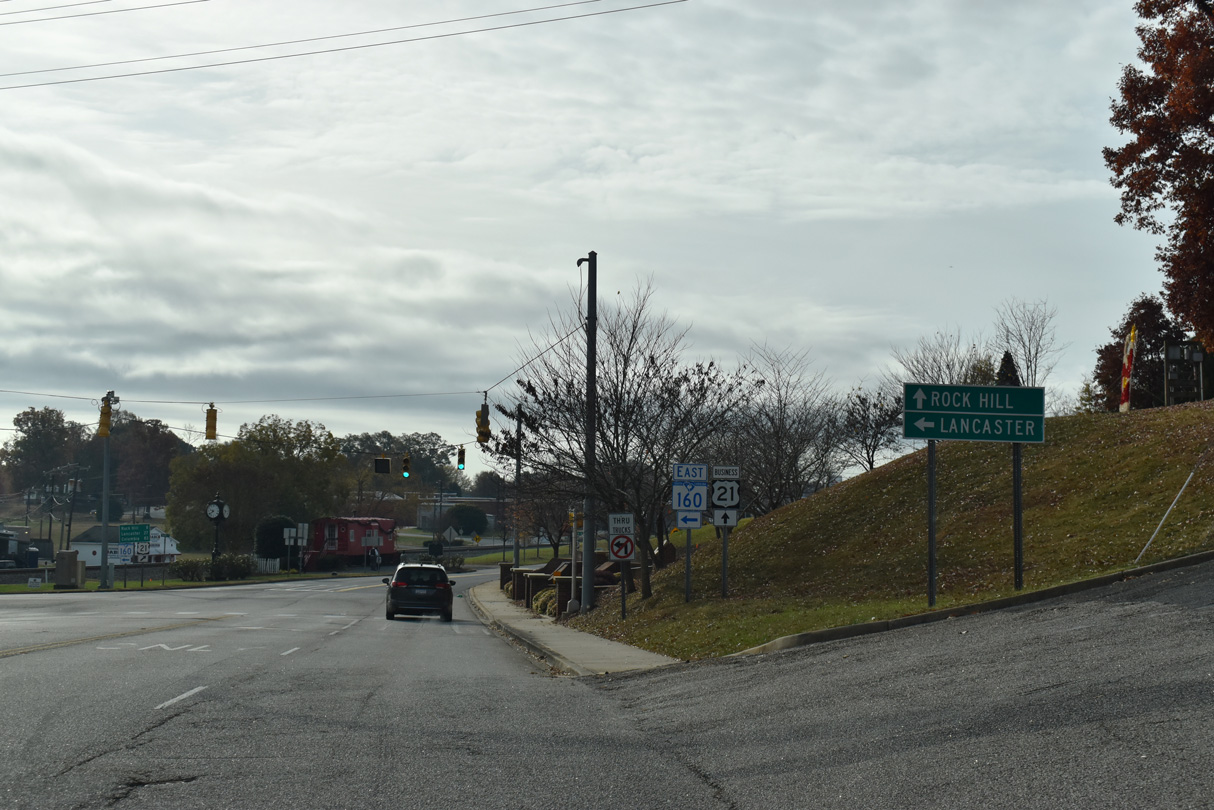
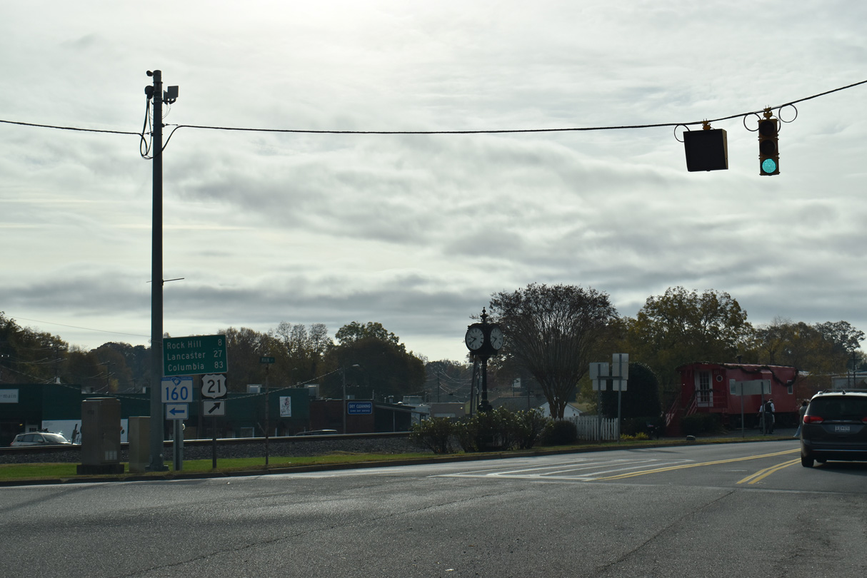
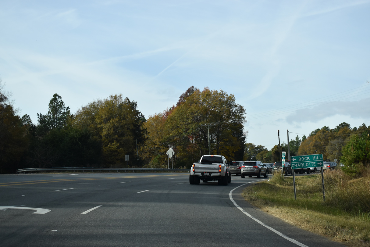
U.S. 21 travels south from Fort Mill to Rock Hill and Columbia. Lancaster is 27 miles to the southeast via S.C. 160 and U.S. 521.
11/21/21
South

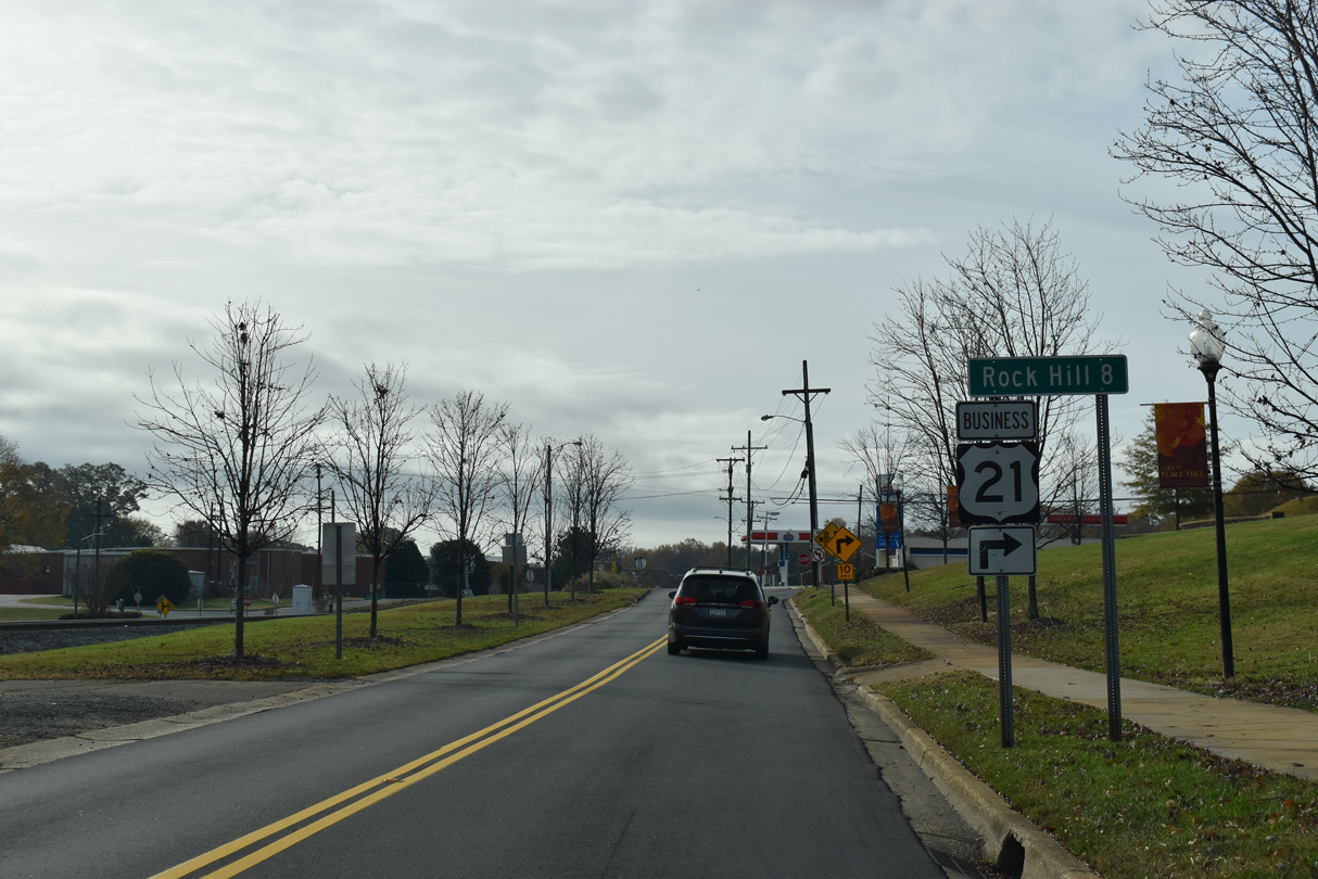
Downtown Rock Hill is eight miles to the south of the Fort Mill business district via U.S. 21 Business, U.S. 21 and the former business route along S.C. 322 (Cherry Street) and Oakland Avenue.
11/21/21
U.S. 21 Business turns west onto Spratt Street while White Street (Road 265) extends south to Kanawha Street.
11/21/21
Spratt Street leads U.S. 21 Business west to Massey Street and Harris Street (Road 100).
11/21/21

U.S. 21 Business (Spratt Street) curves west from the intersection with Kanawha Street (Road 265) east and Brickyard Road (Road 329) south.
11/21/21
S.C. 460 encircles Fort Mill south from S.C. 160 along an unsigned route following Fort Mill Parkway. Construction through Fall 2022 realigns Fort Mill Parkway to become the through route at the intersection with U.S. 21 Business (Spratt Street)
11/21/21
U.S. 21 Business concludes 0.49 miles west from Fort Mill Parkway at U.S. 21 and Sutton Road (Road 49).
11/21/21
U.S. 21 is not marked where U.S. 21 Business intersects S Sutton Road (Road 49). Sutton Road runs 0.46 miles north to a diamond interchange with Interstate 77.
11/21/21
Page Updated Wednesday November 24, 2021.