
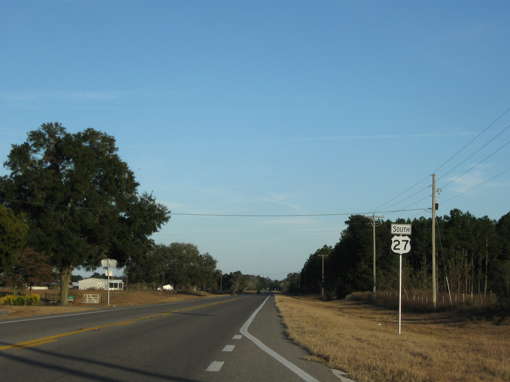
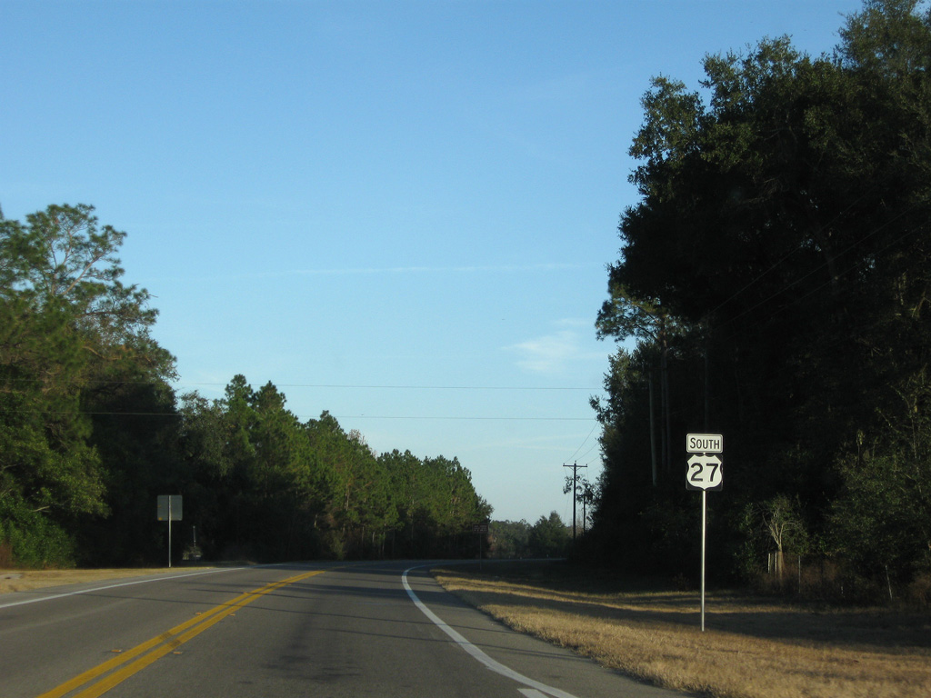
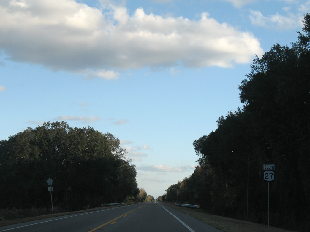
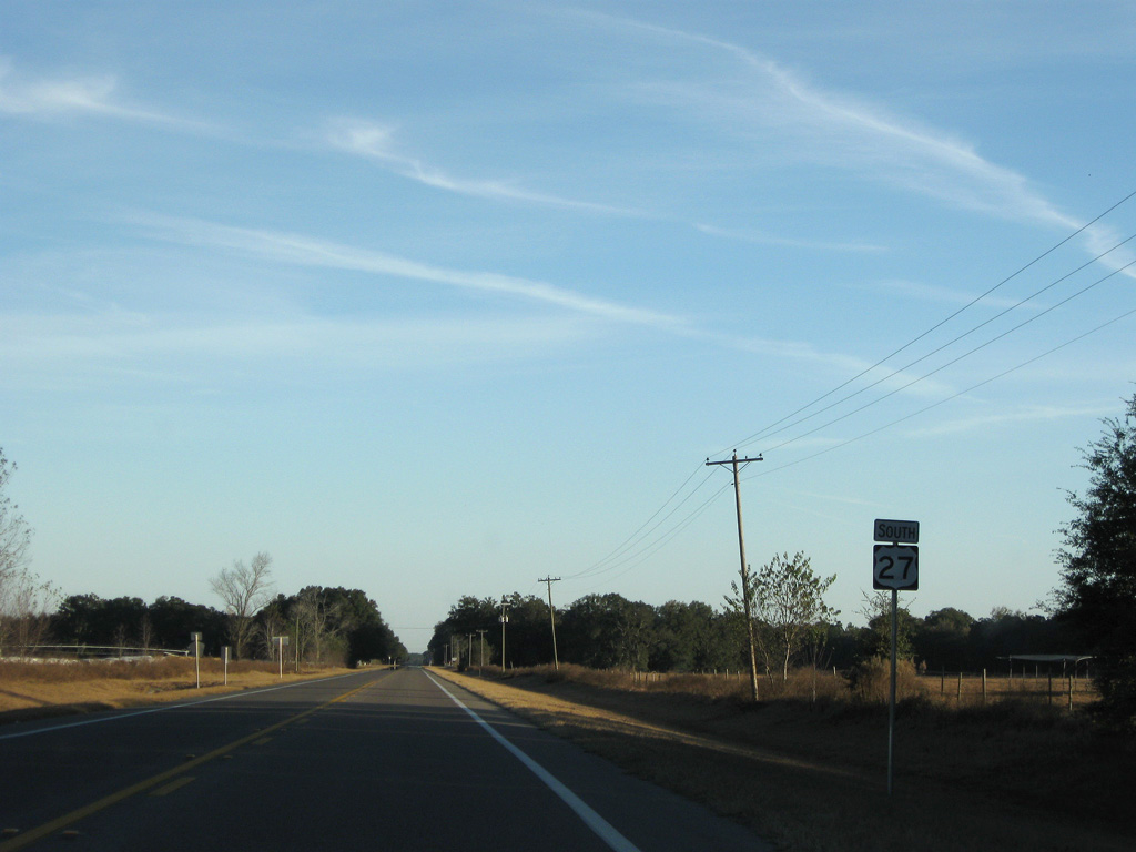
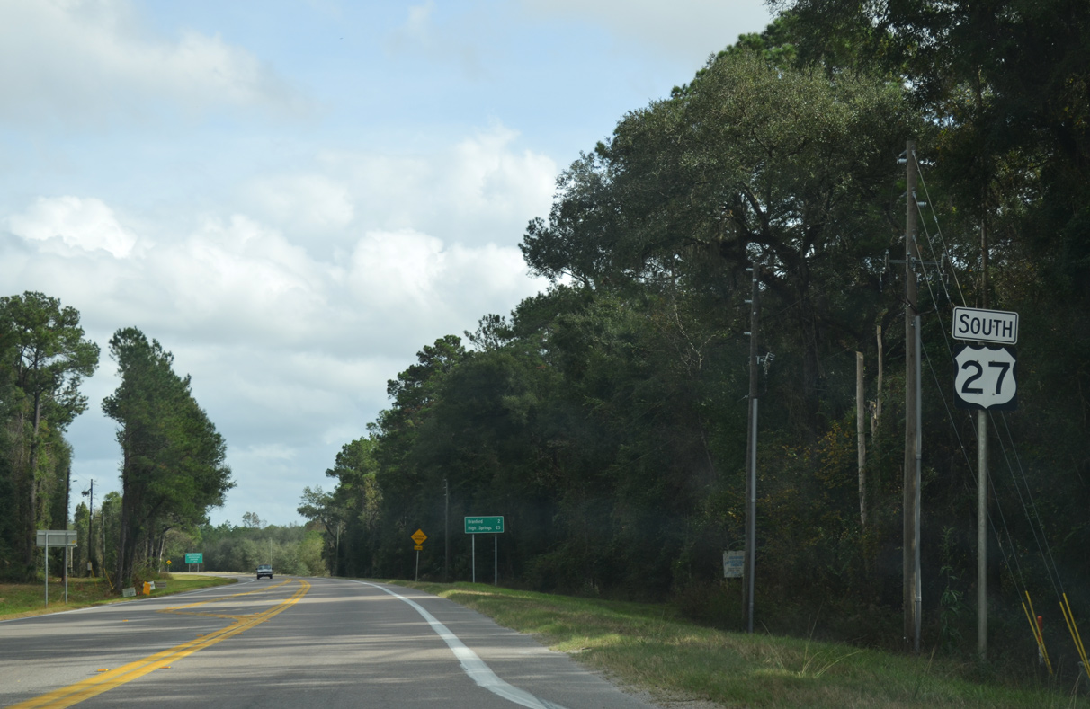
U.S. 27 South - Branford to High Springs

 South
South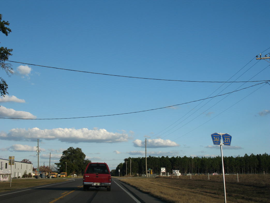
CR 371 ties into U.S. 27 north from near Townsend Pond across from CR 361 south from CR 354. CR 361 replaced Florida Secondary Road 354A.
12/11/07
12/11/07
11/23/08
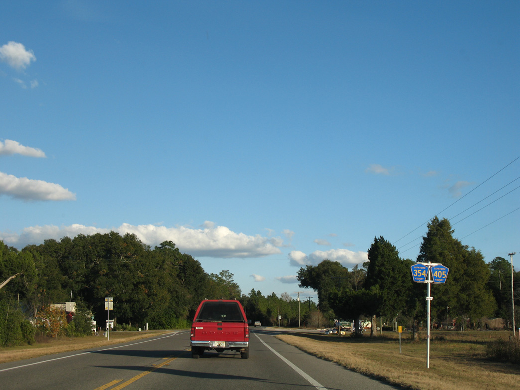
CR 354 arcs 6.70 miles southeast from SR 51 near the Suwannee River to U.S. 27 at CR 405. CR 405 replaced what was an extension of Florida Secondary Road 354 south to Midway.
12/11/07
12/11/07
11/23/08
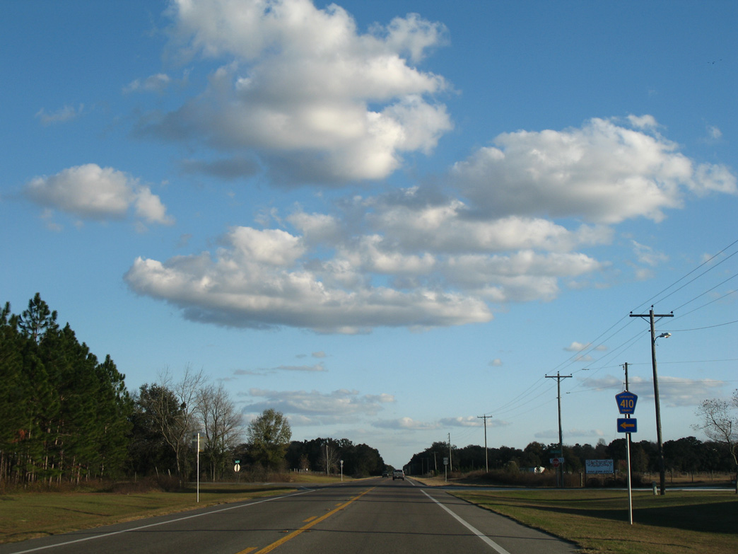
CR 410 branches east from U.S. 27 at Walter Henderson Road to the Suwannee River near Owens Spring.
12/11/07
12/11/07
11/23/08
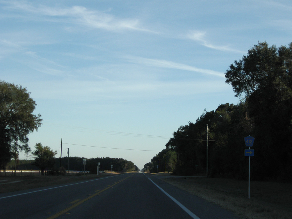
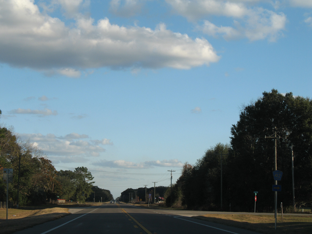
CR 412 forms a 1.72 mile long loop south from U.S. 27 along another former branch of Florida Secondary Road 251.
11/23/08
11/23/08
11/23/08
12/11/07
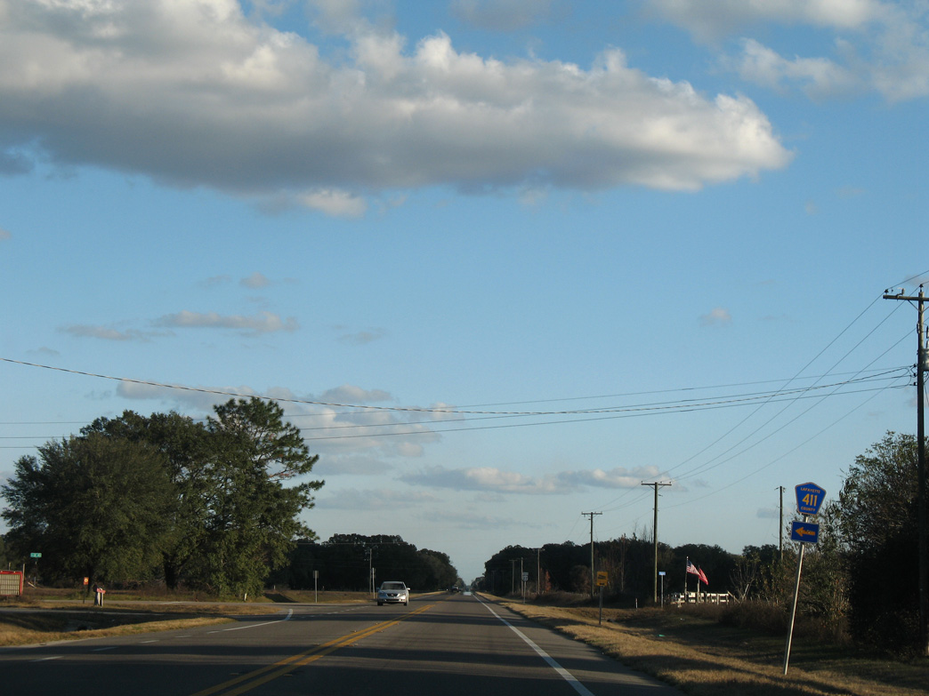
CR 411 links U.S. 27 with CR 410, 1.08 miles to the north.
12/11/07
12/11/07
12/11/07
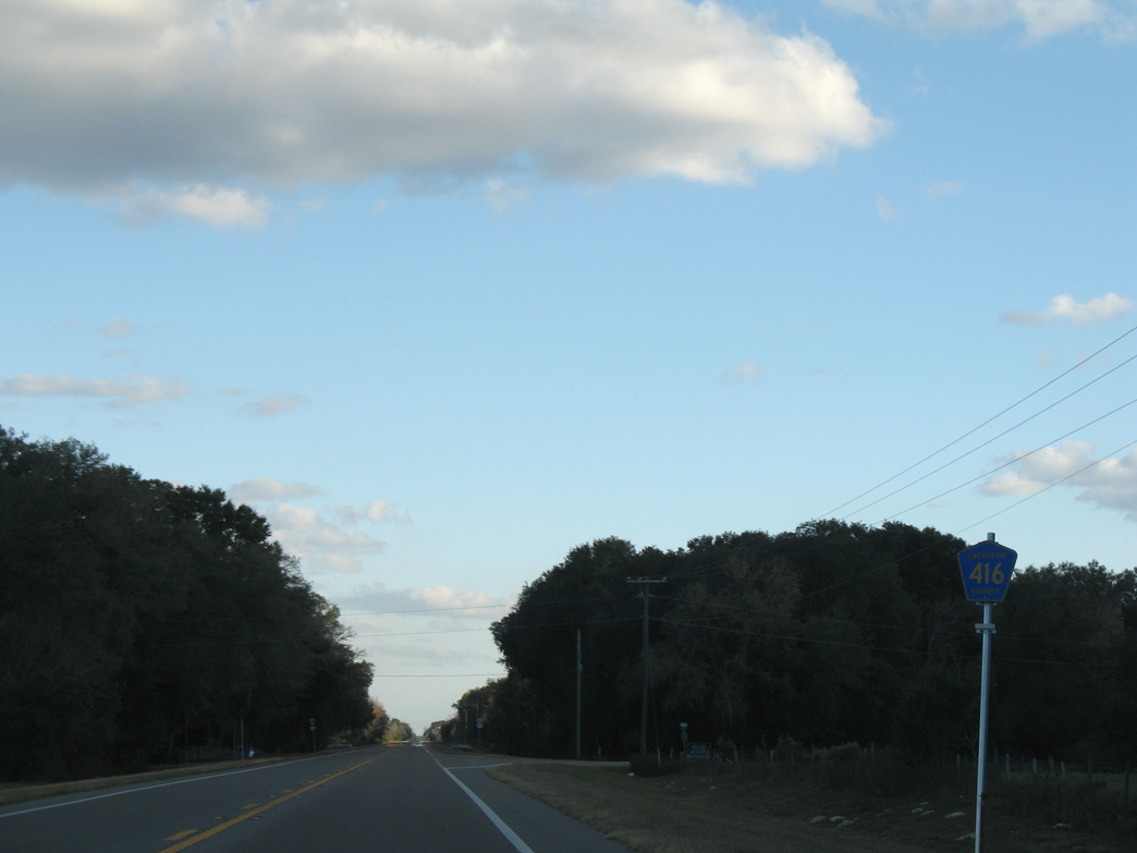
CR 416 south to CR 405 near Picket Lake replaced what was Florida Secondary Road 354A.
12/11/07
12/11/07
12/11/07
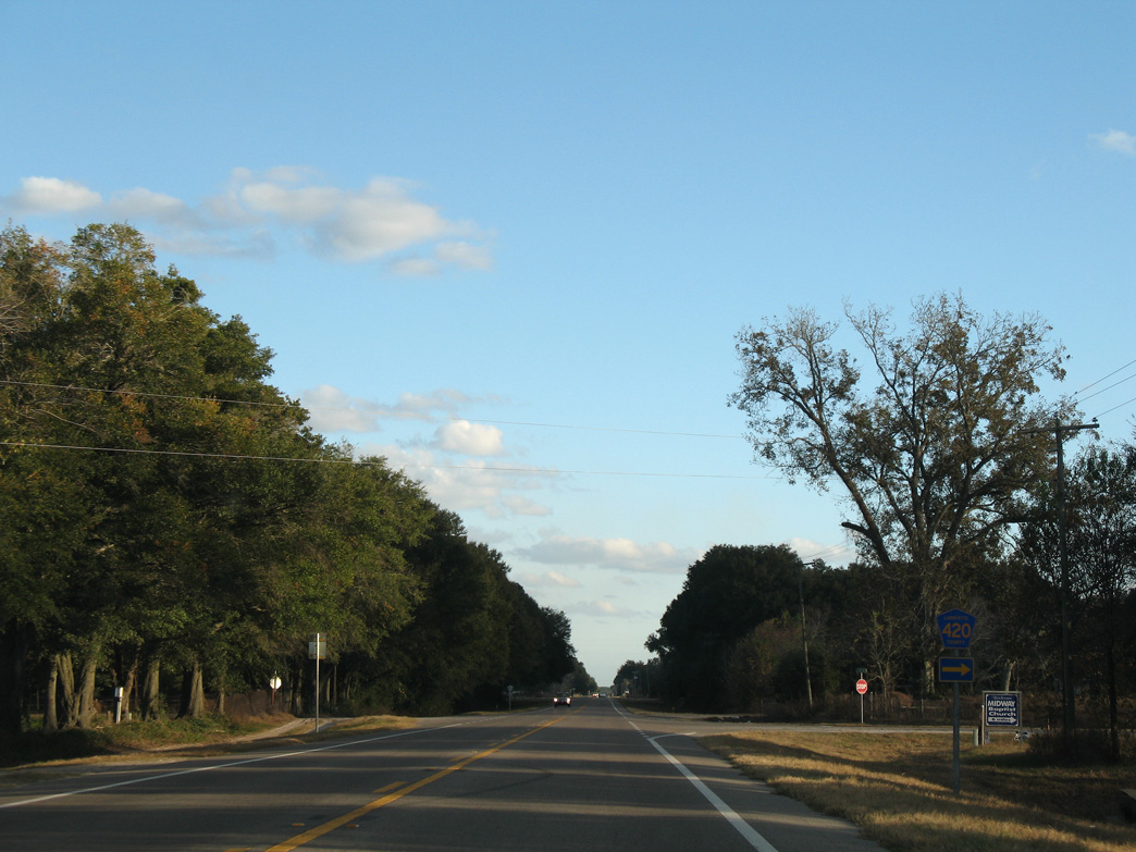
CR 420 runs 1.75 miles west to CR 405 near Adams Lake.
12/11/07
12/11/07
CR 425 spurs north from U.S. 27 to Troy Springs State park along the Suwannee River.
12/11/07
12/11/07
12/11/07
11/23/08
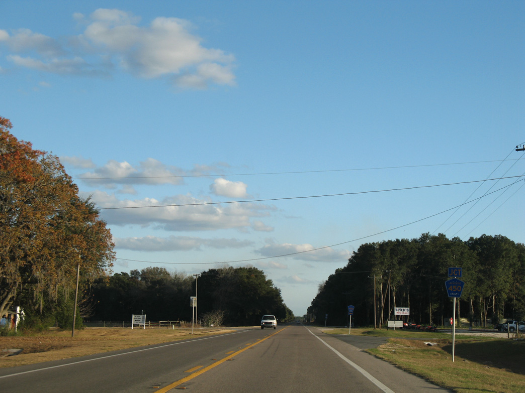
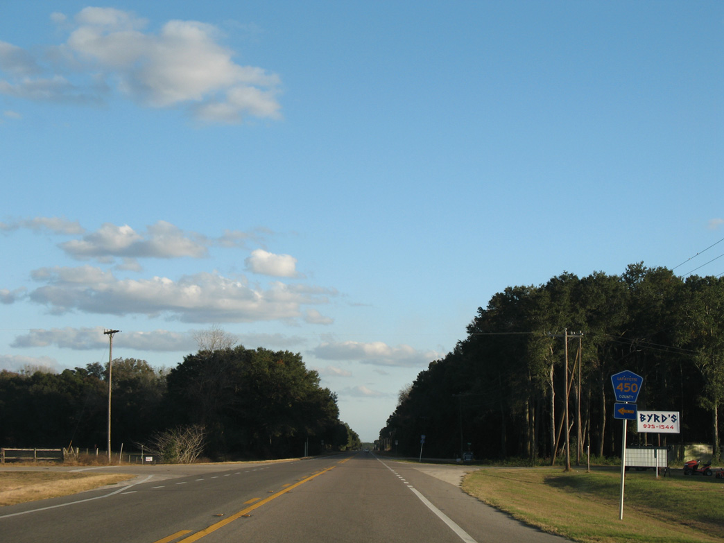
CR 450 leads 0.6 miles north from U.S. 27 to Mandarin Road.
12/11/07
12/11/07
12/11/07
The 10.79 mile long loop on CR 405 concludes at U.S. 27 just past CR 450.
12/11/07
12/11/07

05/22/14
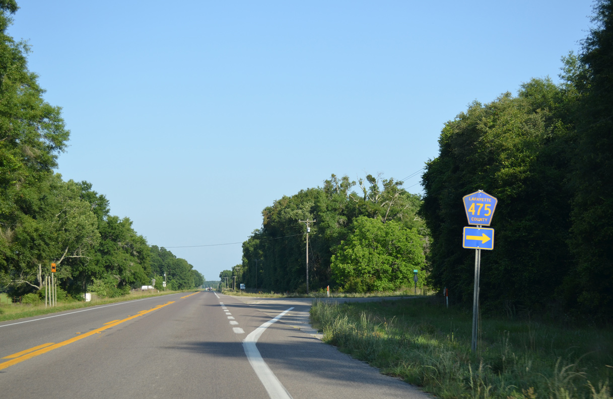
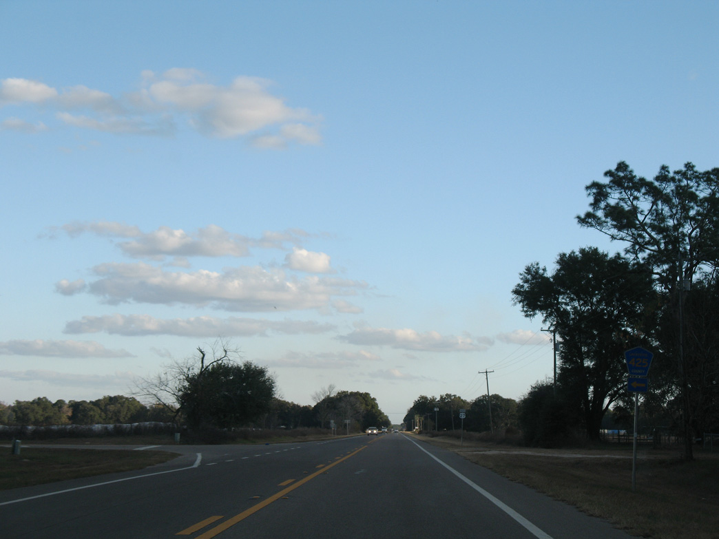
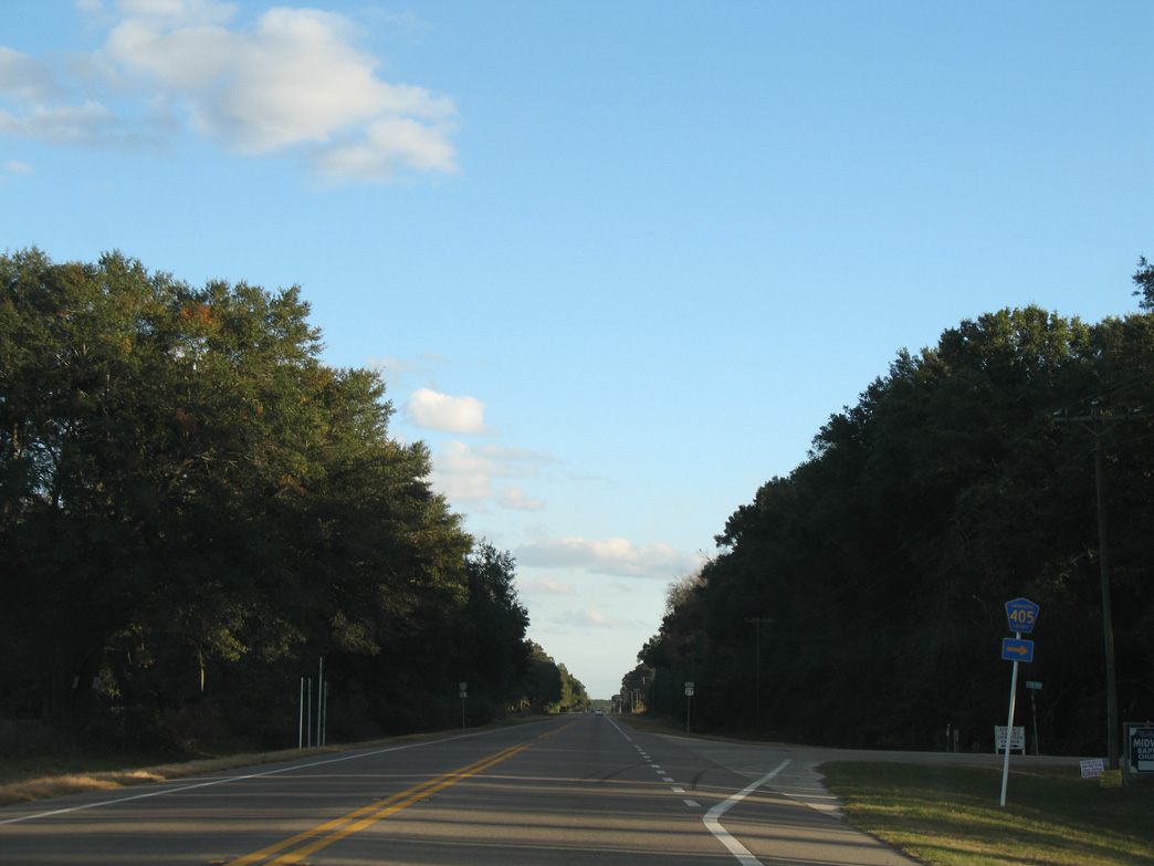
CR 475 constitutes a 2.71 mile long loop south from U.S. 27 to SR 349.
05/22/14
05/22/14

Turning east, U.S. 27 advances to the north end of SR 349.
05/22/14
05/22/14
Following the old route of U.S. 129 and later U.S. 129 ALT, SR 349 travels 24.25 miles south to U.S. 19/98/27 ALT at Old Town.
05/22/14
05/22/14

05/22/14
11/18/15

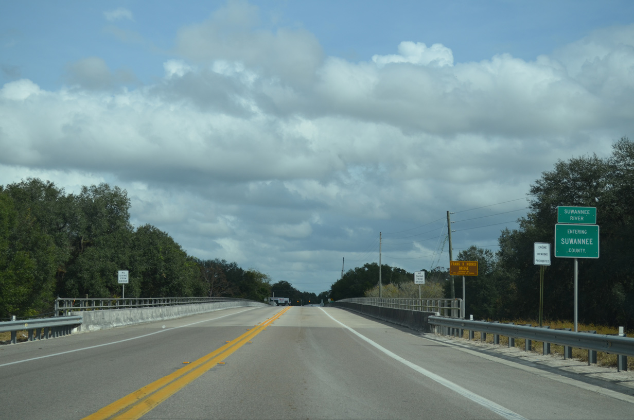
U.S. 27 crosses the Suwanee River into the town of Branford in 1.2 miles.
11/18/15
11/18/15
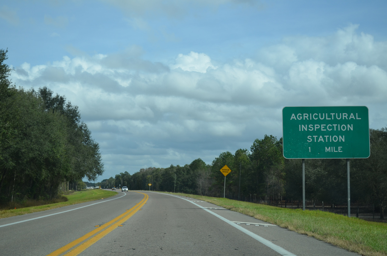
Florida agricultural inspection stations operate along all roads spanning the Suwannee River.
11/18/15
11/18/15
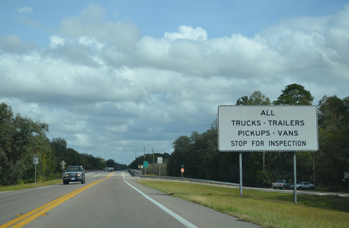
The agricultural inspection station for U.S. 27 lies just beyond the Suwannee River.
11/18/15
11/18/15
U.S. 27 travels 8.62 miles east across southern Suwannee County.
11/18/15
11/18/15
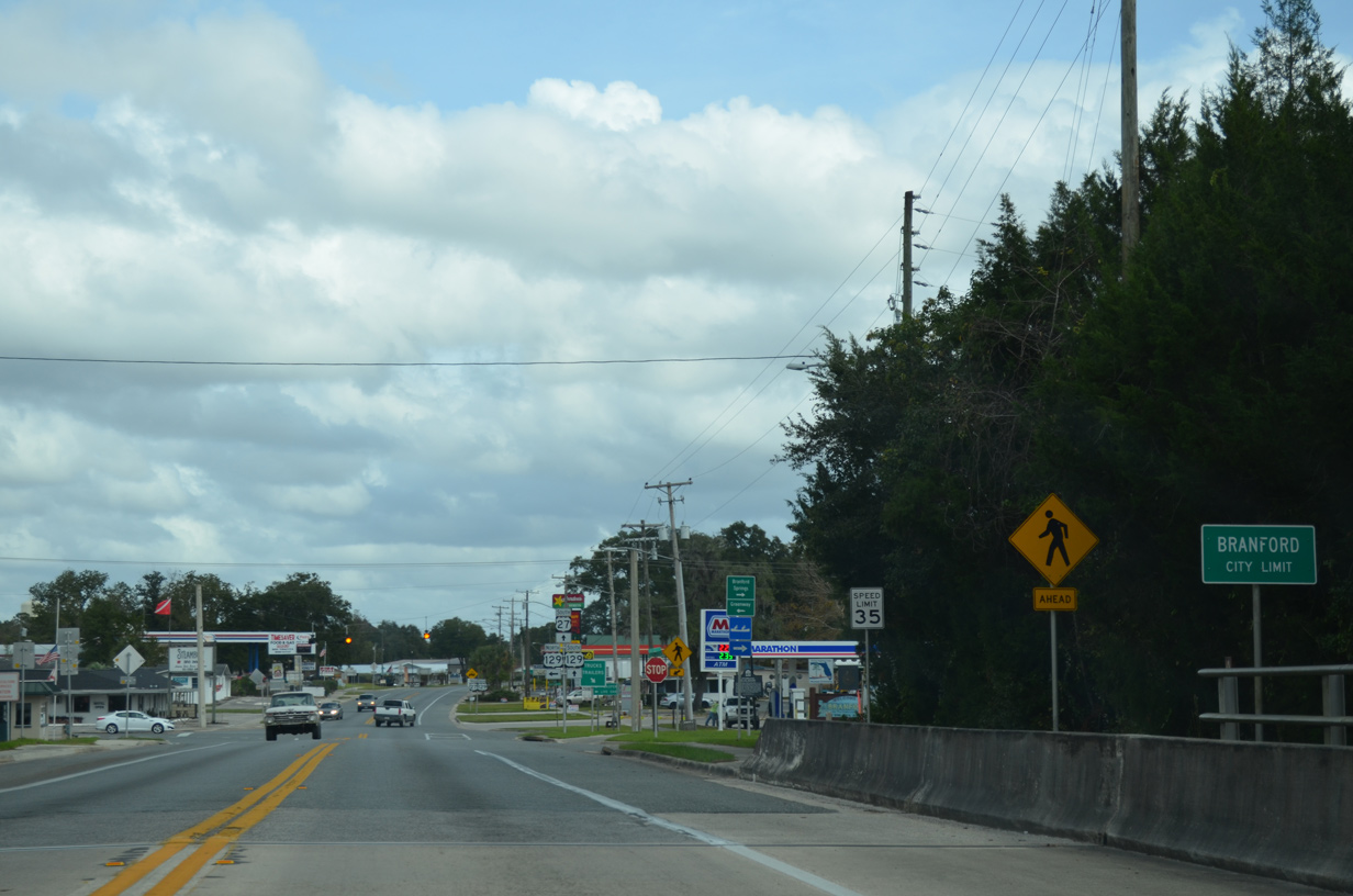
The Branford residential street grid spreads north from U.S. 27/129.
11/18/15
11/18/15
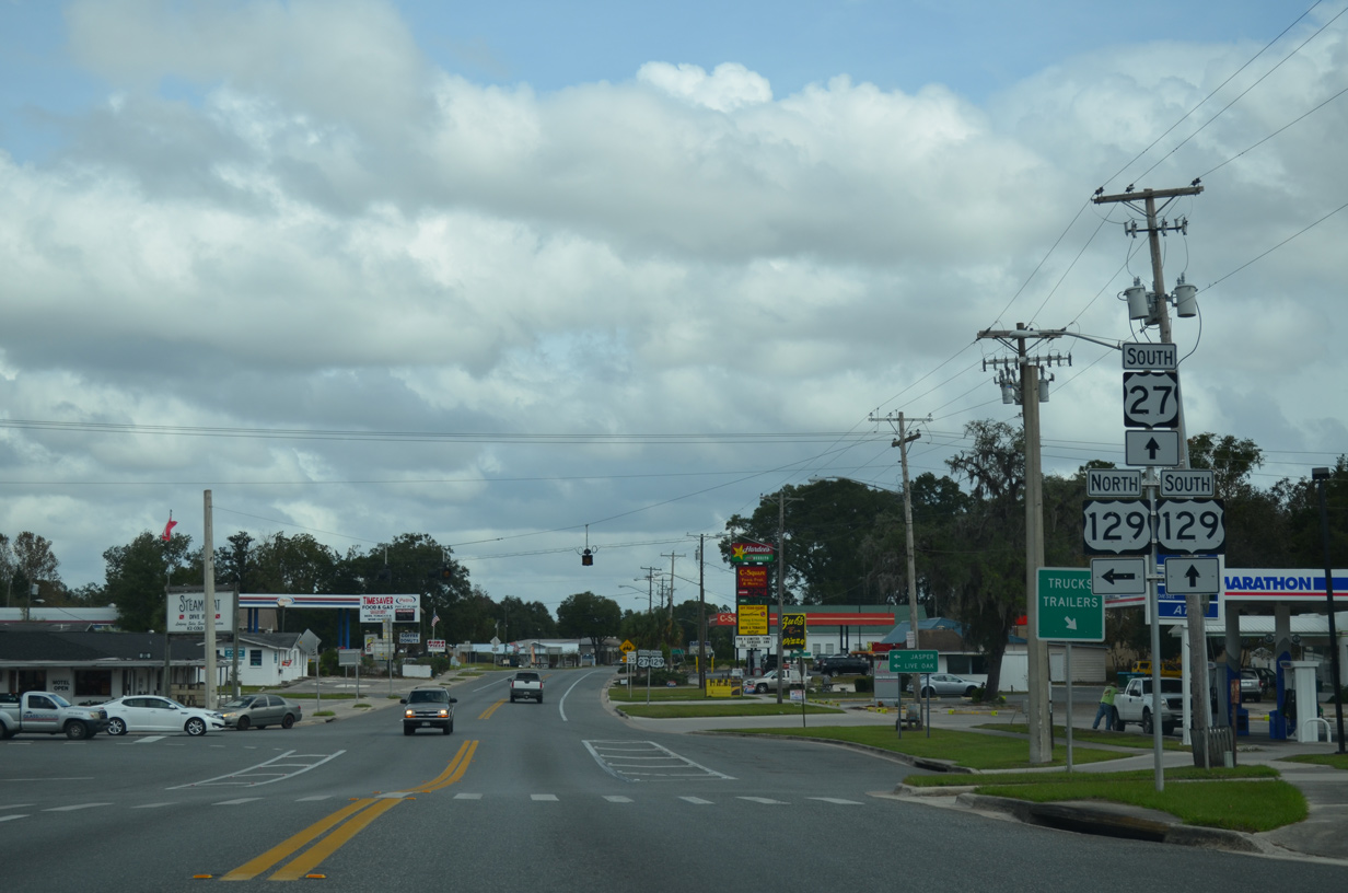
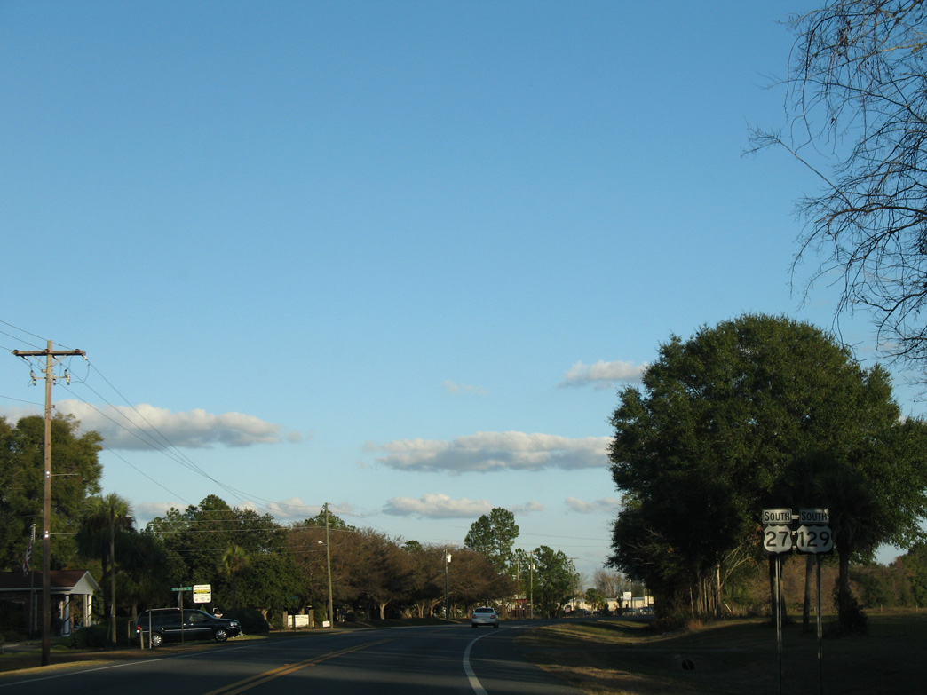
U.S. 129 (Suwannee Avenue) joins U.S. 27 south from the Branford business district. U.S. 129 tarvels north to Live Oak and Jasper.
11/18/15
11/18/15
 South
South
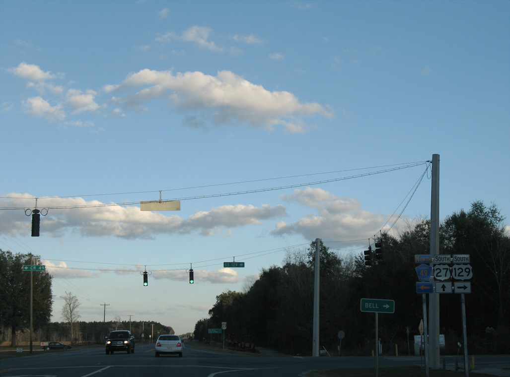
U.S. 129 overlaps with U.S. 27 east 4.07 miles from Branford to CR 49.
12/11/07
12/11/07
12/11/07
12/11/07
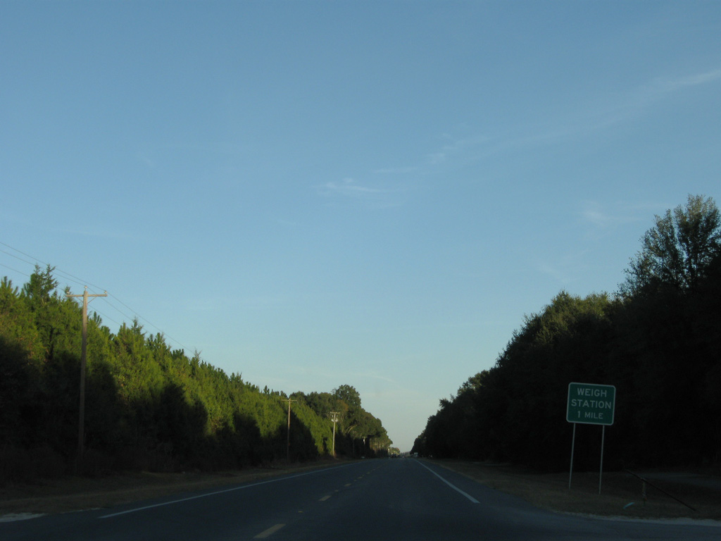
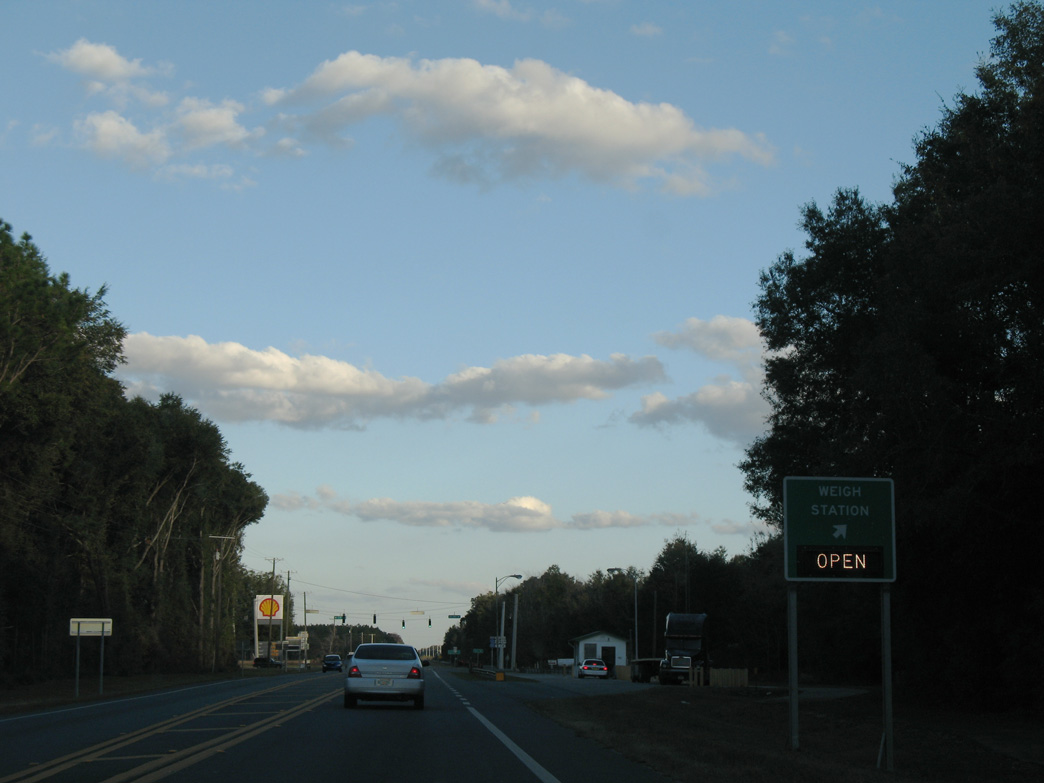
A weigh station lines the south side of U.S. 27/129, one mile east of 65th Road.
11/23/08
11/23/08
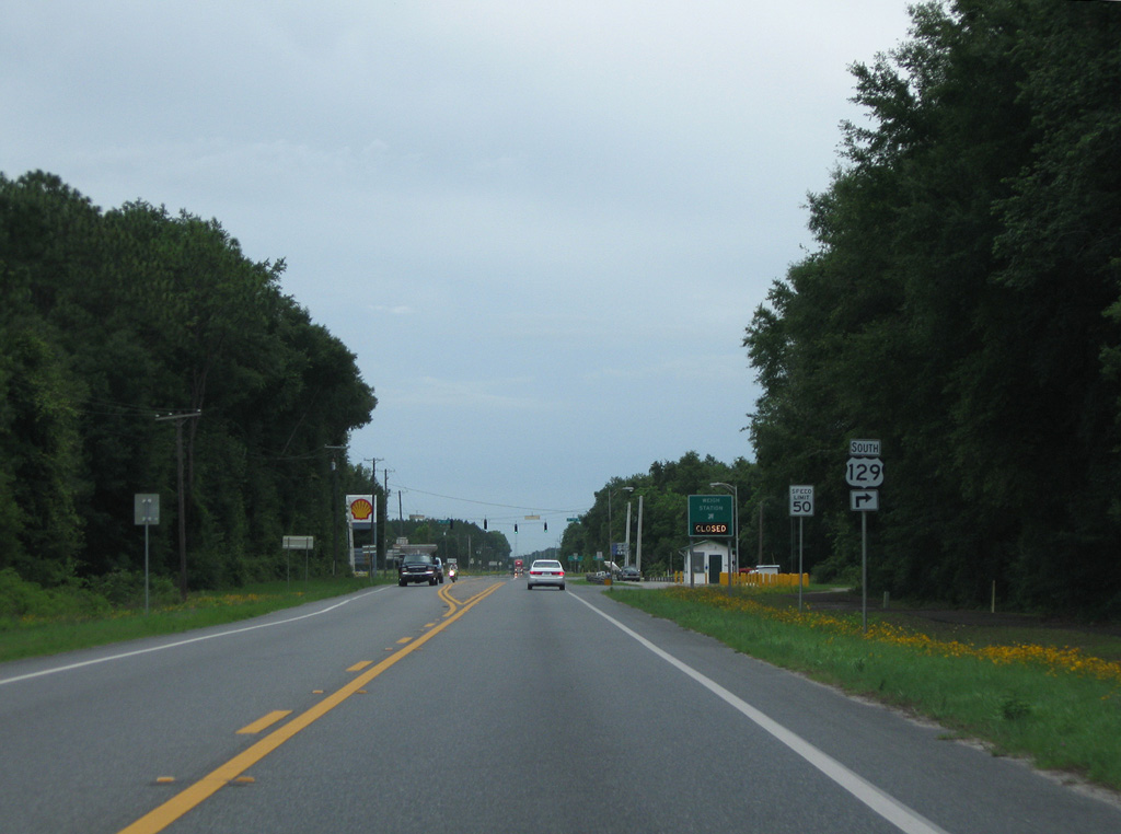
U.S. 129 resumes a southward course from U.S. 27 along SR 49, 31.32 miles to U.S. 19/98/27 ALT in Chiefland.
04/19/09
04/19/09
12/11/07
CR 49 extends 24.63 miles north from U.S. 129/SR 49 to U.S. 90 outside Live Oak.
12/11/07
12/11/07
South
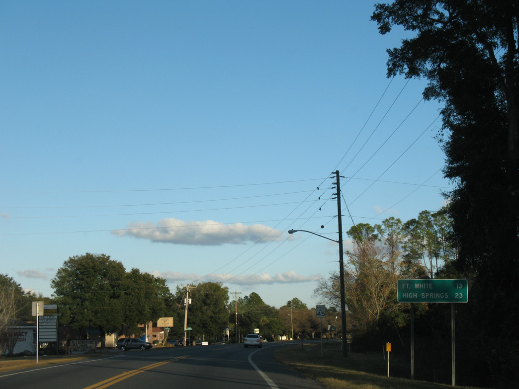
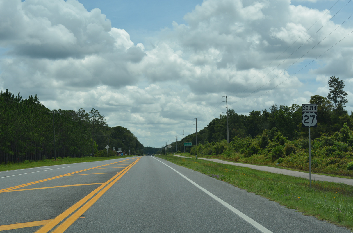
U.S. 27 continues 9.5 miles east from U.S. 129 to SR 47 in the town of Fort White.
06/11/06
06/11/06
Confirming marker posted east of CR 137 (Sand Hill Road) north.
06/29/17
06/29/17
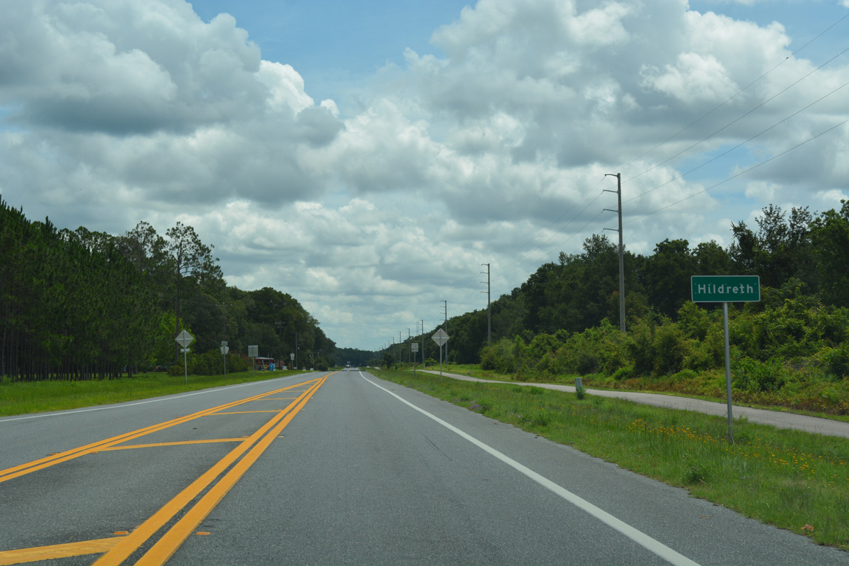
The settlement of Hildreth lies along U.S. 27 between CR 137 and the Ichetucknee River.
06/29/17
06/29/17
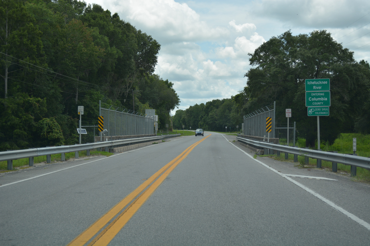
Spanning the Ichetucknee River, U.S. 27 enters southern Columbia County.
06/29/17
06/29/17
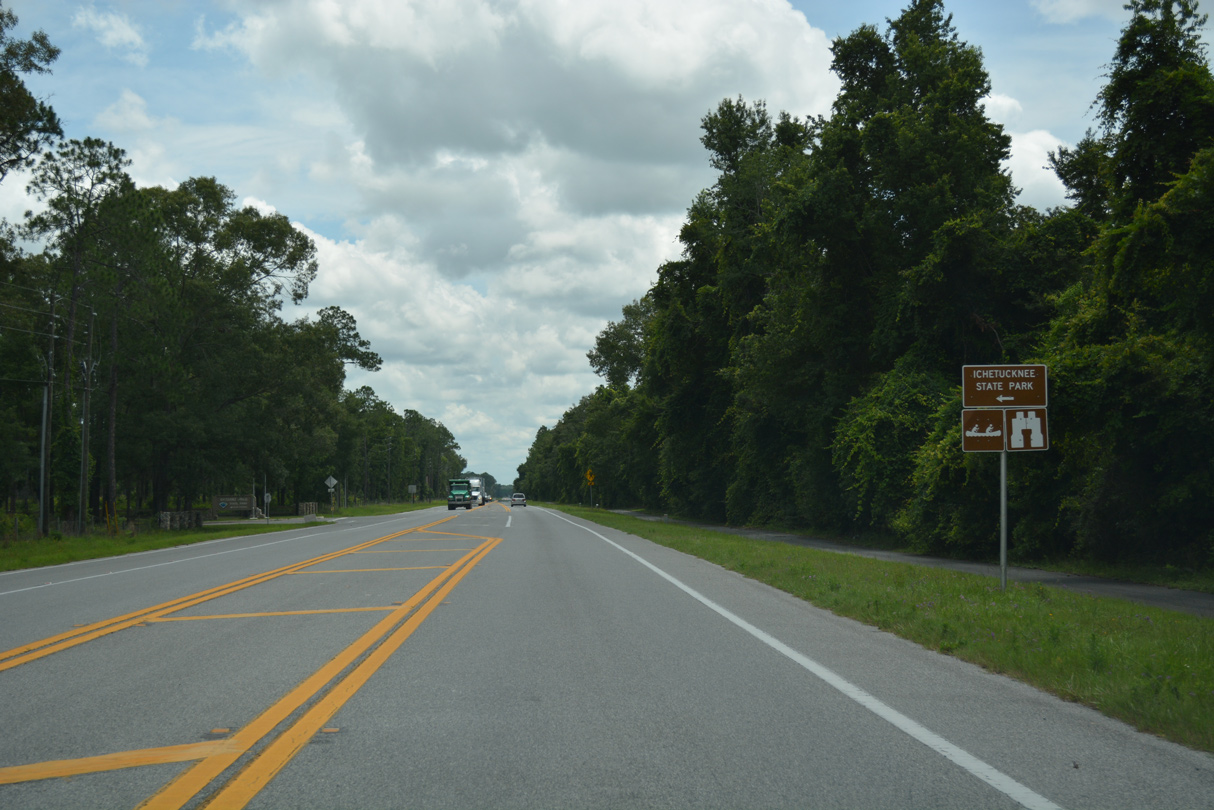
The South Entrance of Ichetucknee State Park is off U.S. 27.
06/29/17
06/29/17
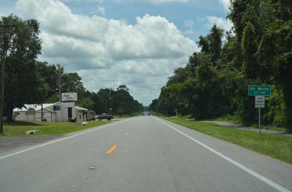
Angling southeast, U.S. 27 advances into the town of Fort White.
06/29/17
06/29/17
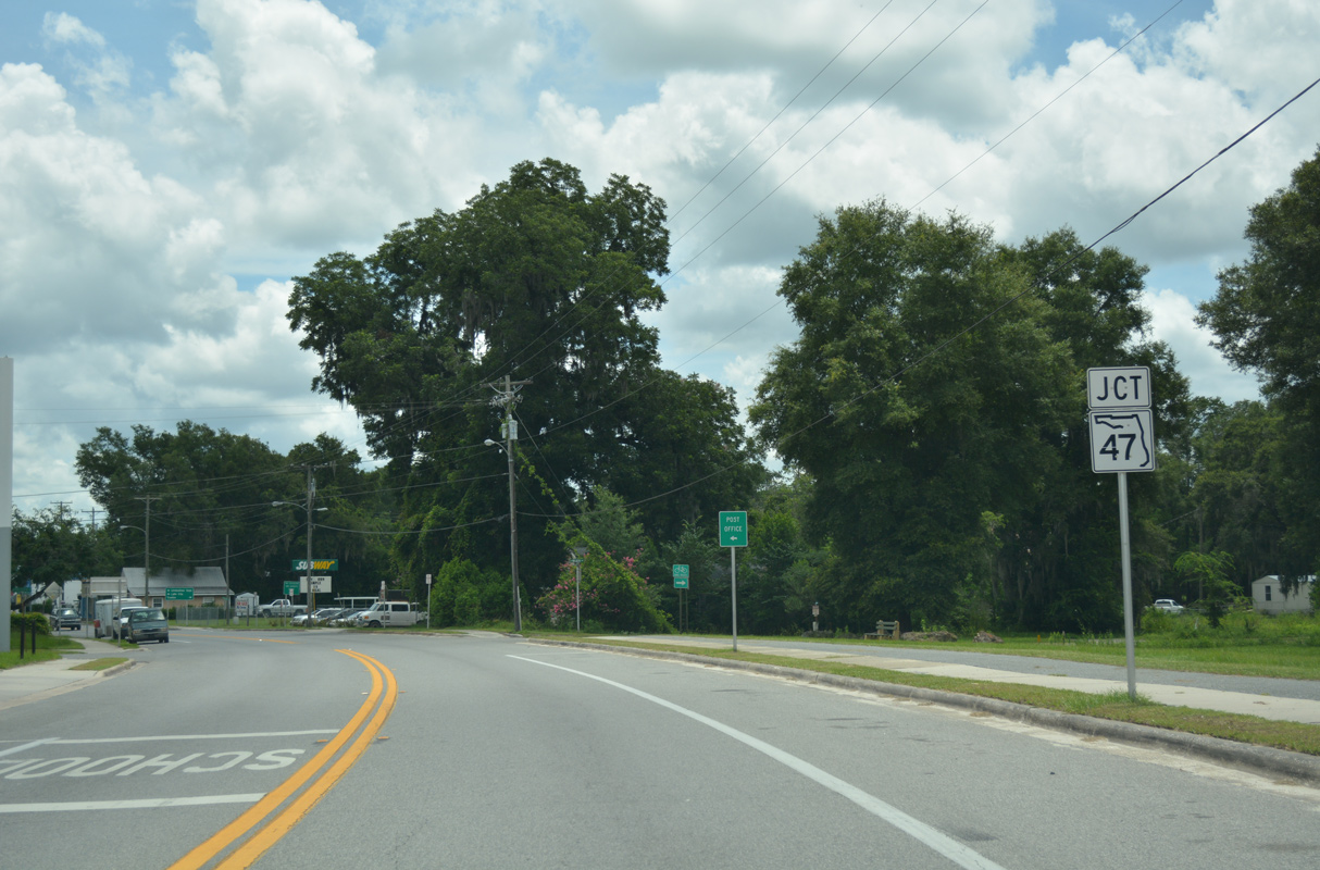
U.S. 27 meets SR 47 (1st Street) at the Fort White business district.
06/29/17
06/29/17
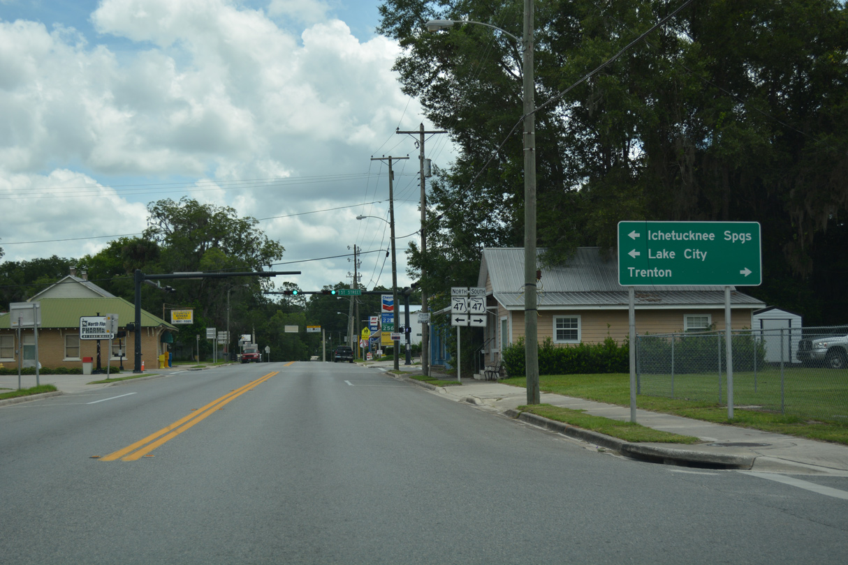
SR 47 connects Fort White with I-75 and Lake City to the north.
06/29/17
06/29/17
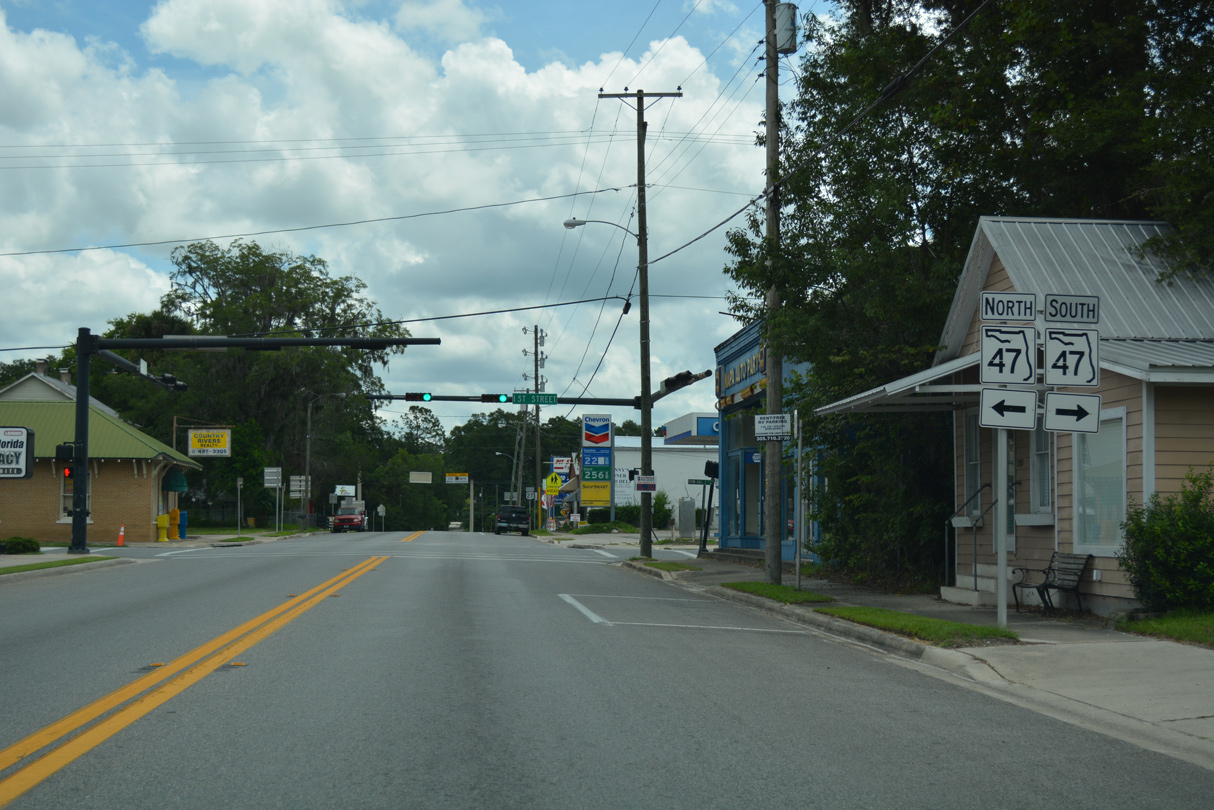
Heading south, SR 47 leads to U.S. 129 in the city of Trenton in Gilchrist County.
06/29/17
06/29/17
06/29/17
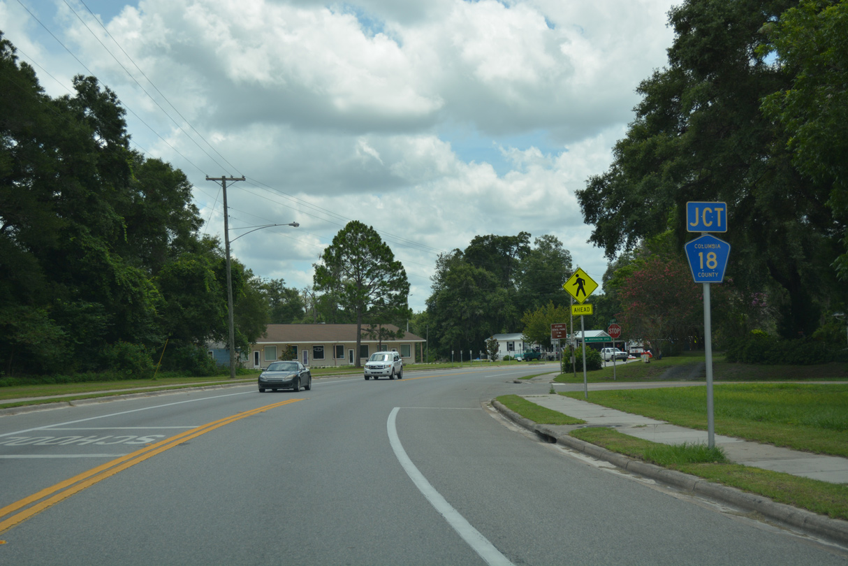
CR 18 branches east from U.S. 27 at Yulan Street in Fort White.
06/29/17
06/29/17
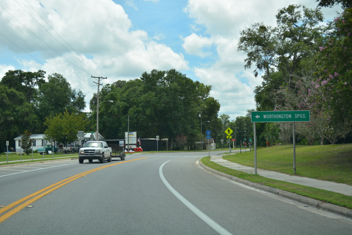
The town of Worthington Springs lies 18.4 miles to the east along CR 18 and SR 121.
06/29/17
06/29/17
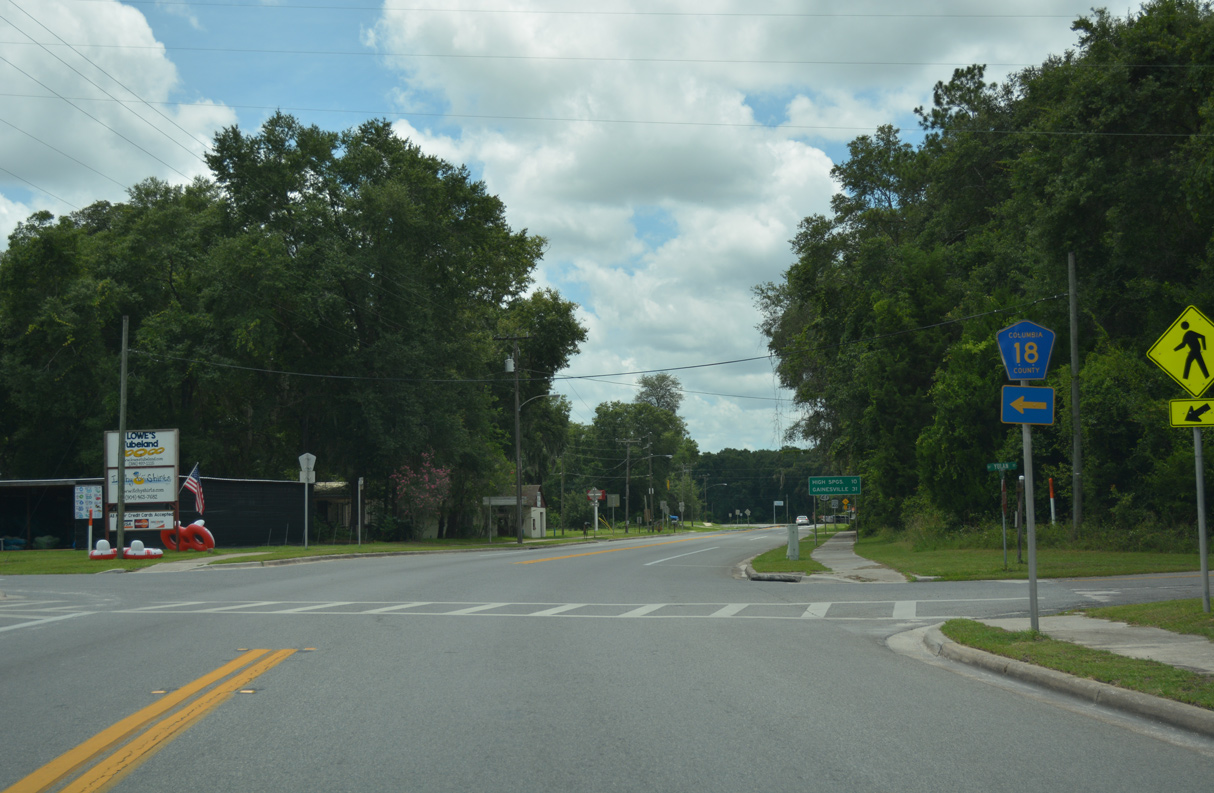
CR 18 heads 6.37 miles east from U.S. 27 to U.S. 41/441 near Mikesville.
06/29/17
06/29/17
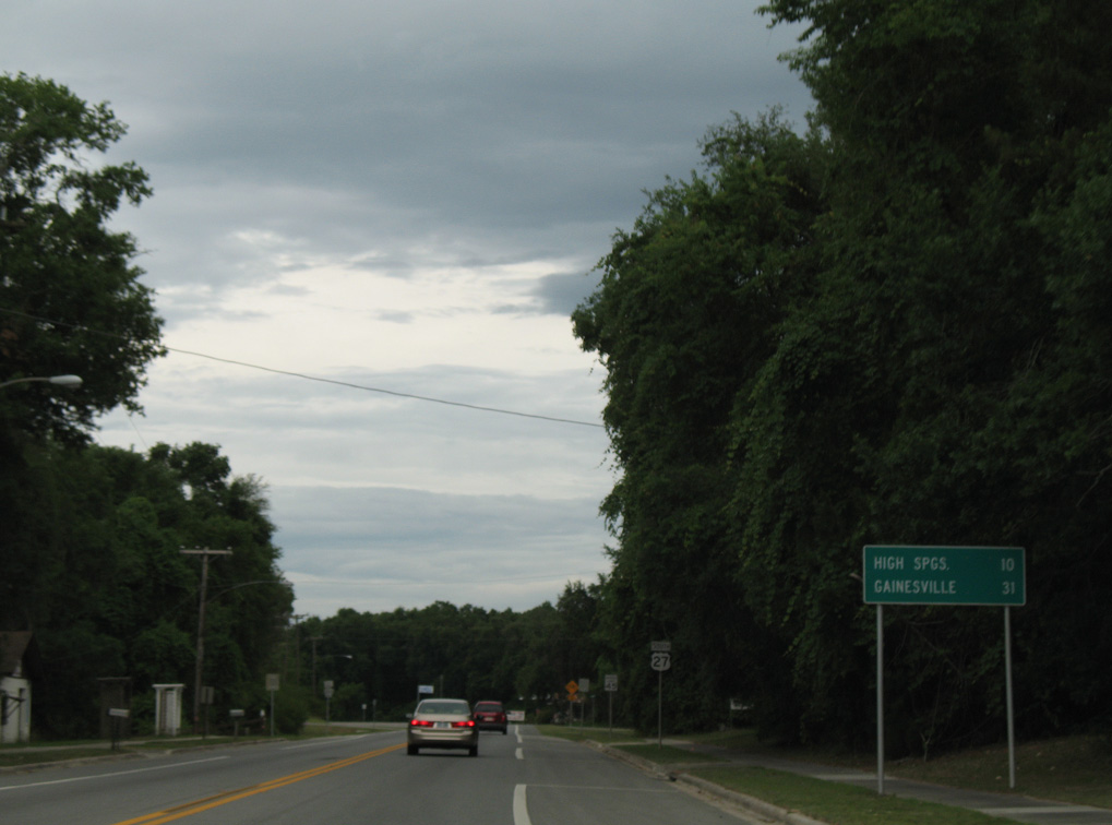
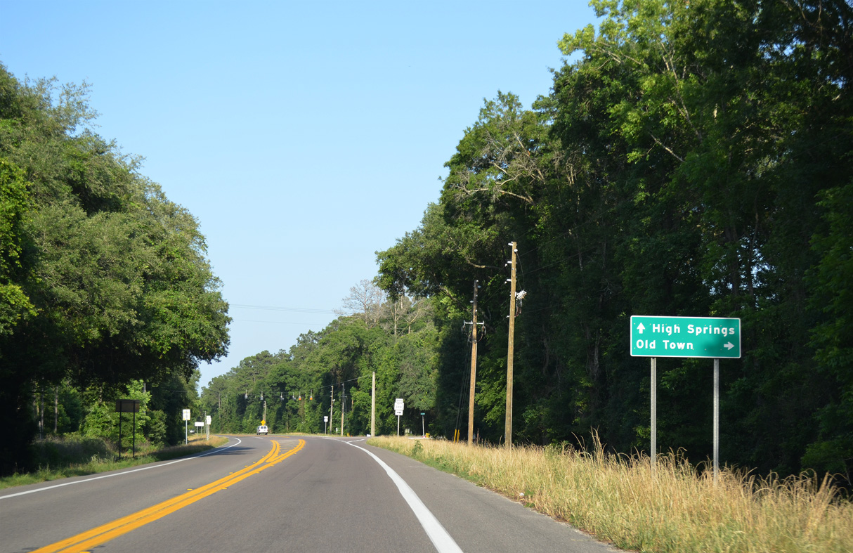
U.S. 27 travels 9.6 miles southeast from CR 18 in Fort White to U.S. 41 in High Springs.
06/11/06
06/11/06
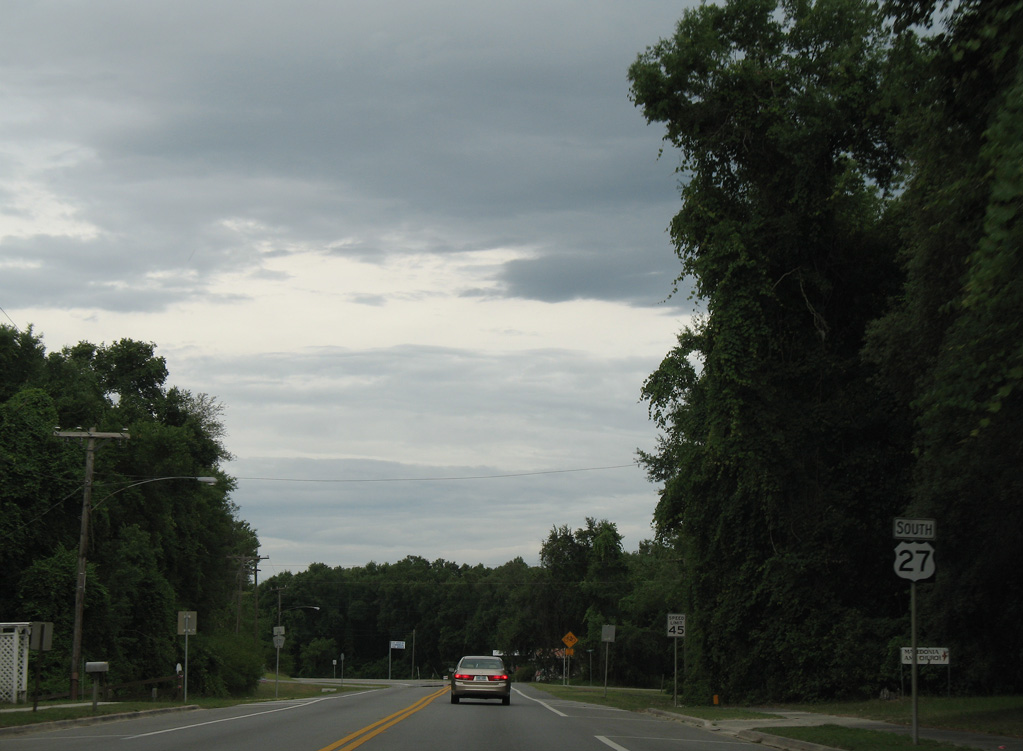
06/11/06
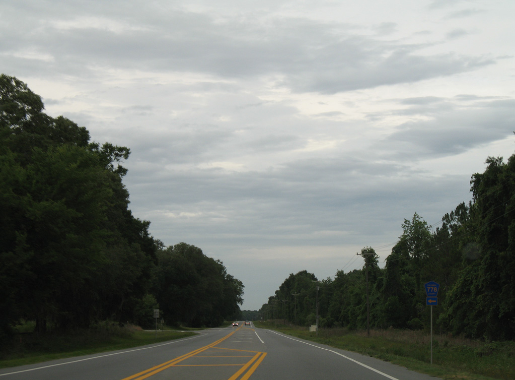
Columbia County Road 778 runs 3.60 miles east from U.S. 27 to U.S. 41/441.
06/11/06
06/11/06
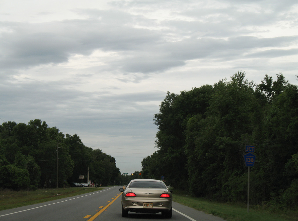
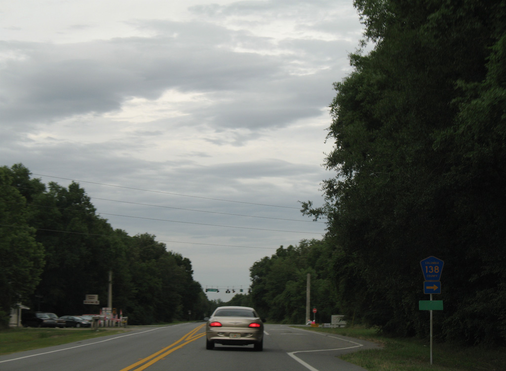
Columbia County Road 138 joins U.S. 27 with SR 47 near Hollingsworth Bluff along the Santa Fe River, 6.44 miles to the west.
06/11/06
06/11/06
A second branch of CR 138 in Gilchrist County runs 8.08 miles west from SR 47 to U.S. 129.
06/11/06
06/11/06
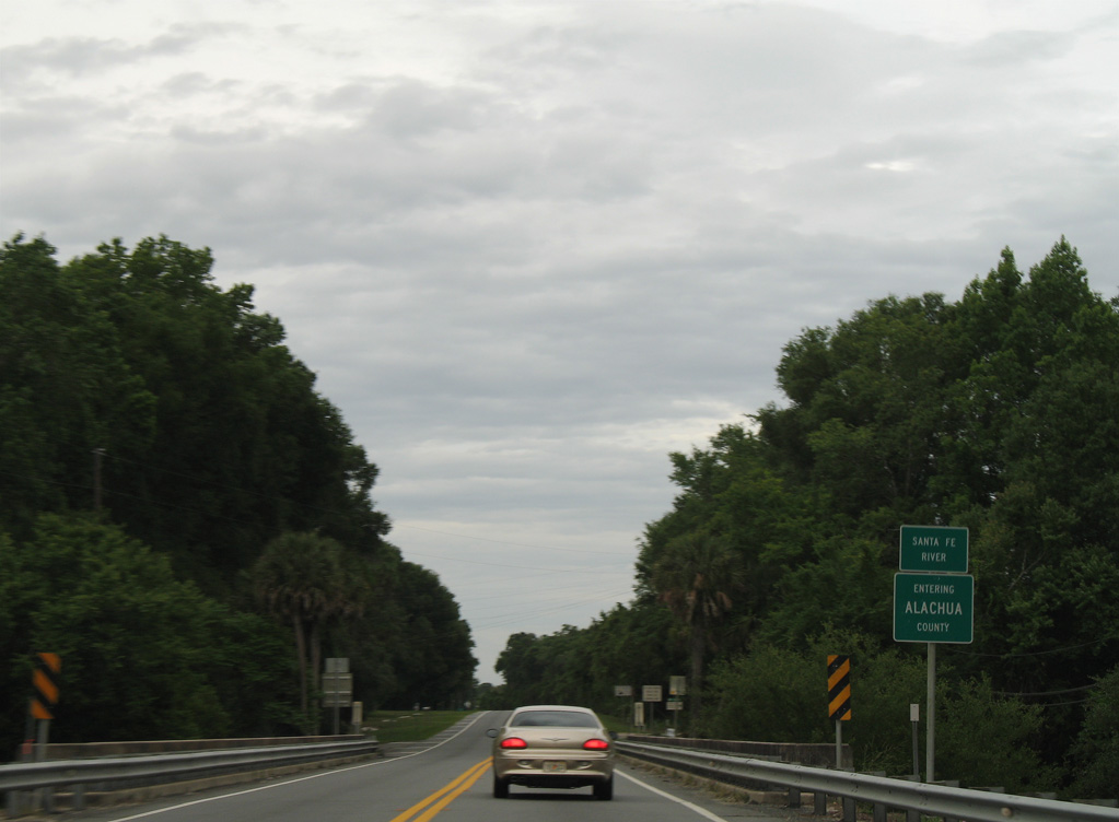
Crossing the Santa Fe River, U.S. 27 enters Alachua County at western reaches of the High Springs city limits.
06/11/06
06/11/06
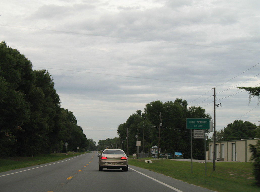
The city of High Springs is home to over 6,000.
06/11/06
06/11/06
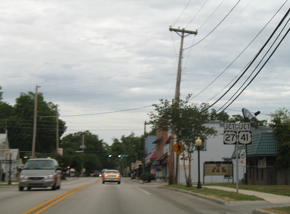
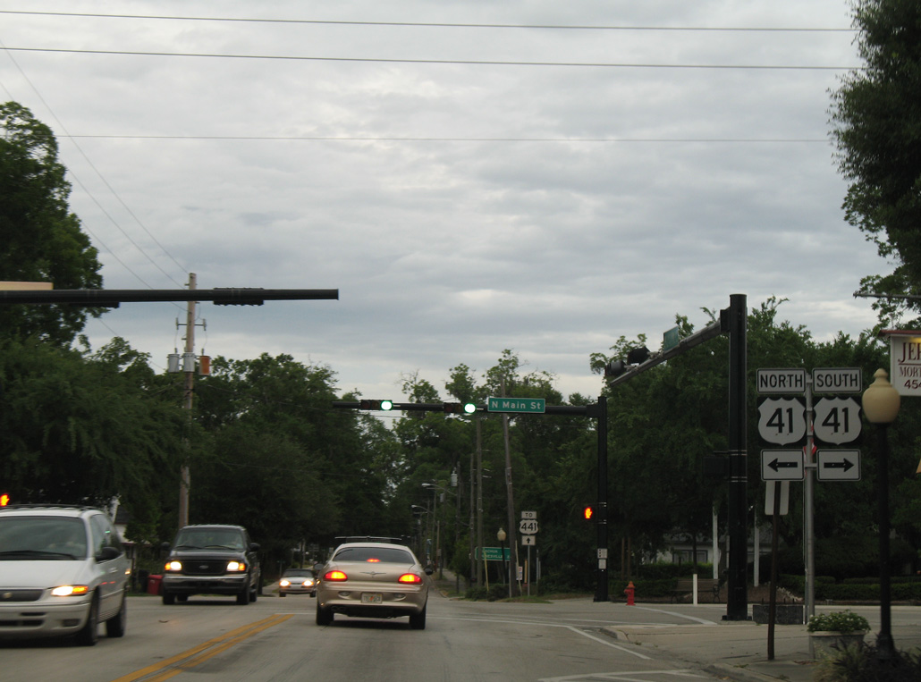
U.S. 27 (NW 1st Avenue) converges with U.S. 41 (Main Street) in Downtown High Springs.
06/11/06
06/11/06
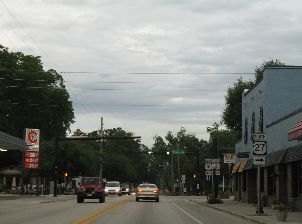
Where U.S. 27 turns south alongside U.S. 41, SR 20 emerges along NW 186th Avenue east to U.S. 441 south.
06/11/06
06/11/06
U.S. 41 north combines with U.S. 441 in 0.23 miles. The two overlap to Lake City. U.S. 441 south leads to Alachua and Gainesville.
06/11/06
06/11/06
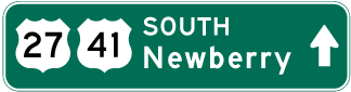
Photo Credits:
- Alex Nitzman: 06/11/06, 12/11/07, 11/18/15, 06/29/17
- ABRoads: 11/23/08, 05/22/14
- Brent Ivy: 04/19/09
Connect with:
Page Updated Wednesday August 02, 2023.