
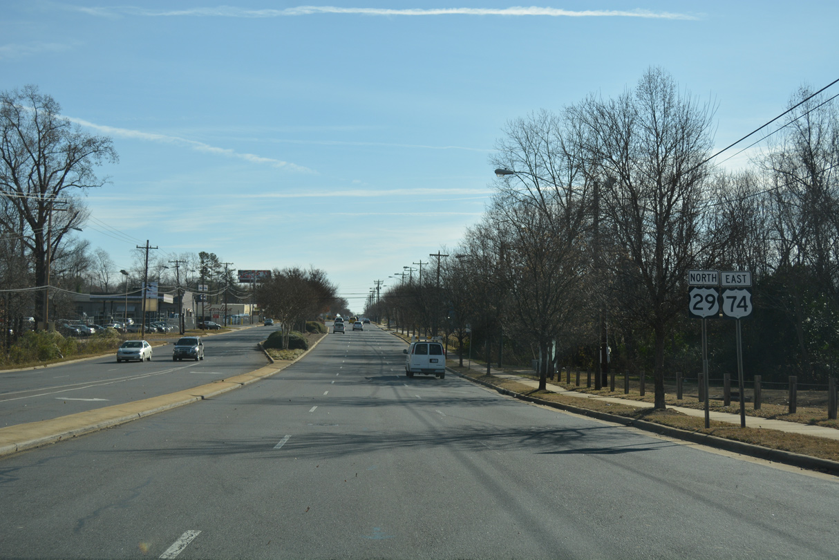
U.S. 29/74 East - Belmont to Charlotte


 North
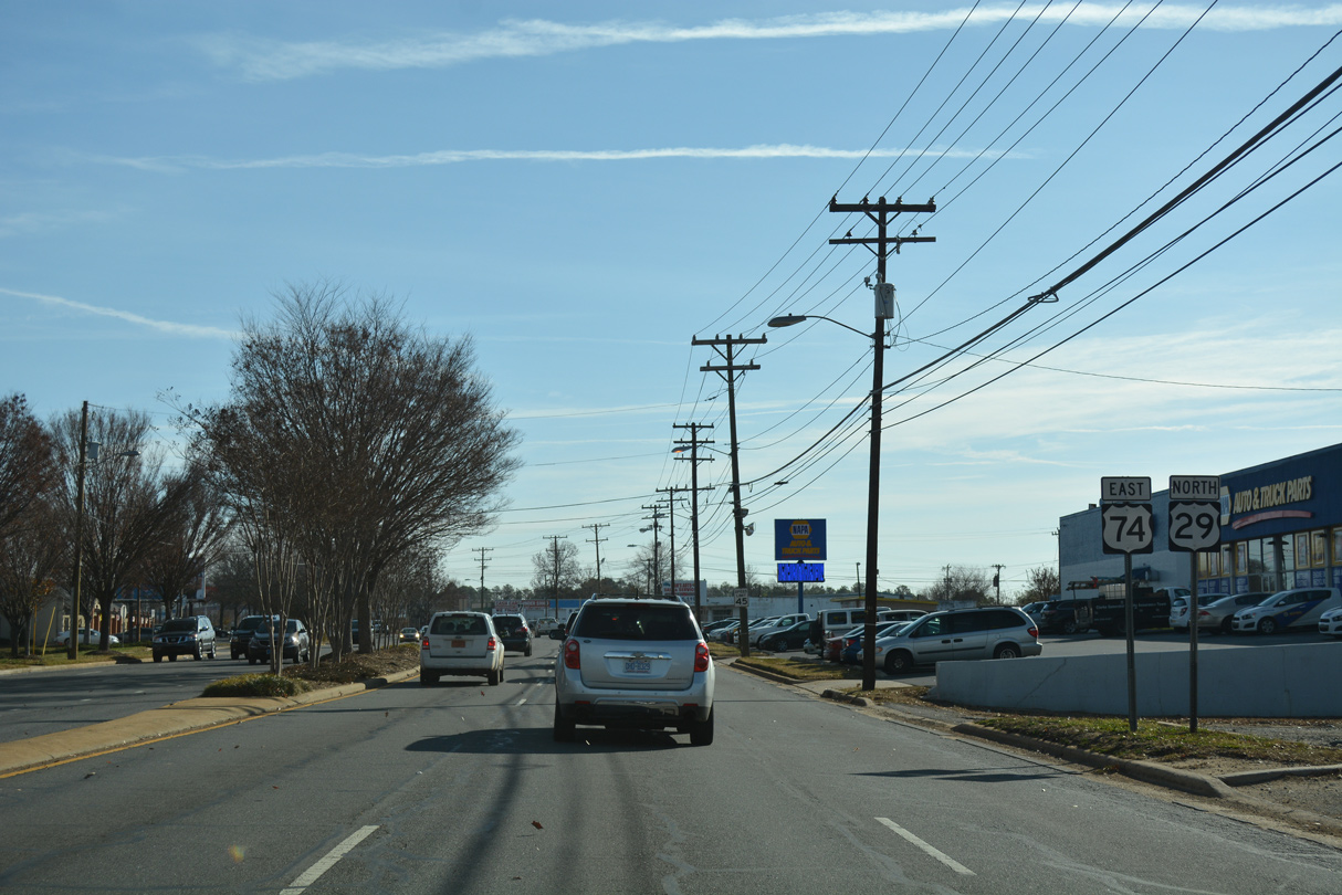
North  East
East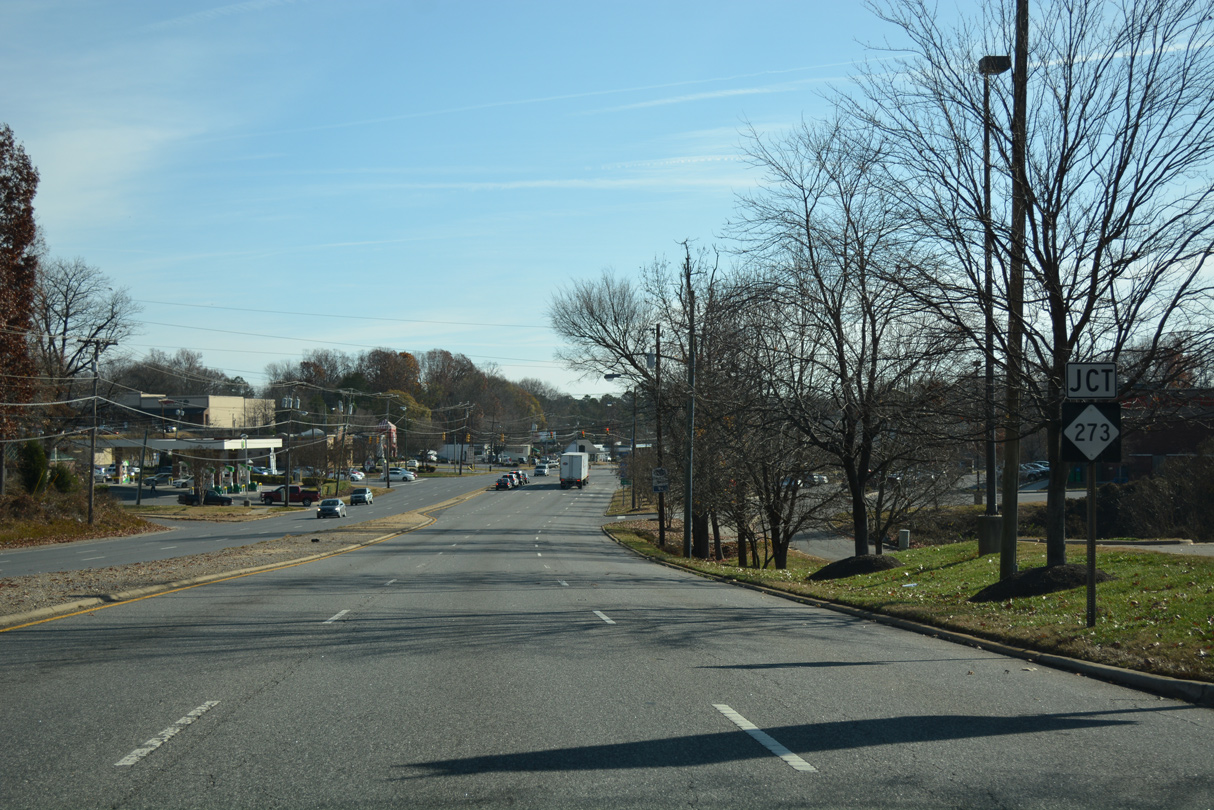
U.S. 29/74 (Wilkinson Boulevard) east approaching NC 273 (Park Street) in the city of Belmont.
12/15/16
12/15/16
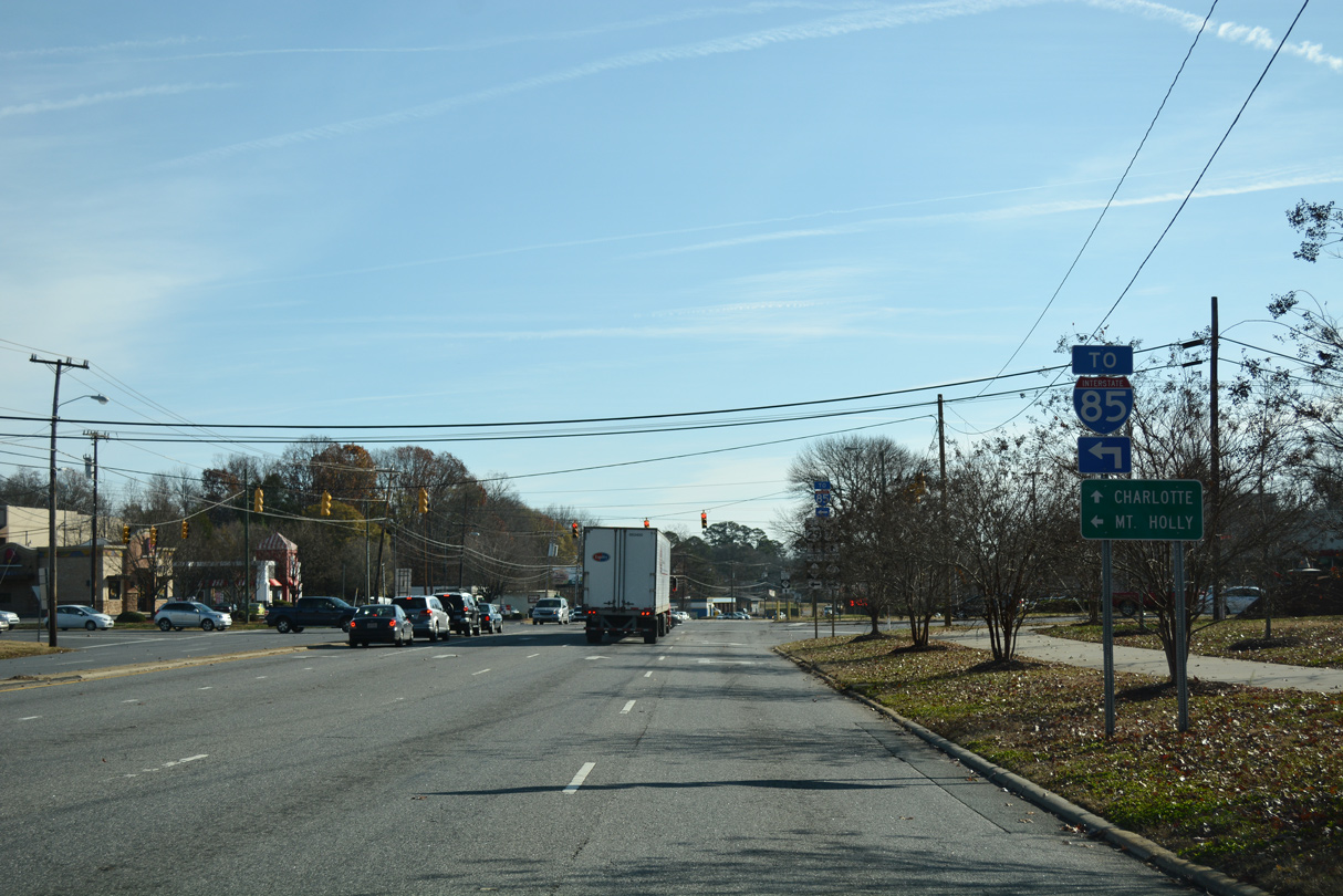
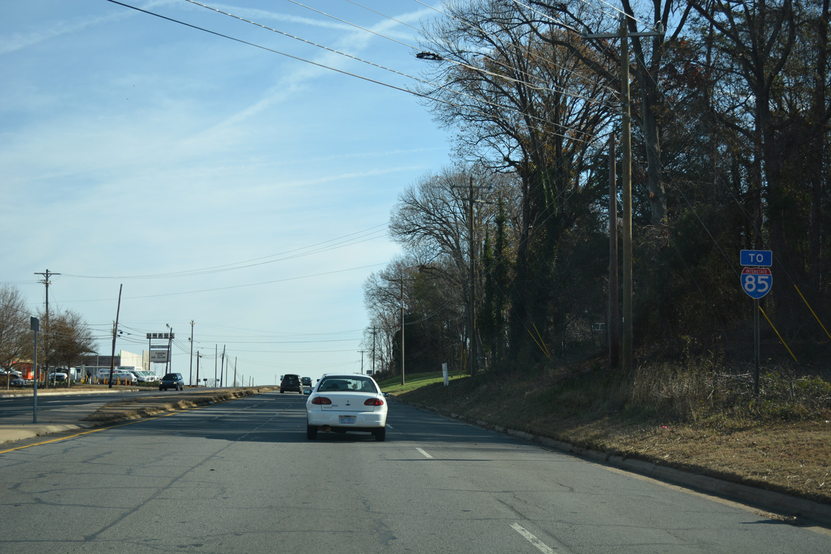
NC 273 (Park Street) links with Interstate 85, 0.39 miles to the north, en route to the city of Mt. Holly.
12/15/16
12/15/16
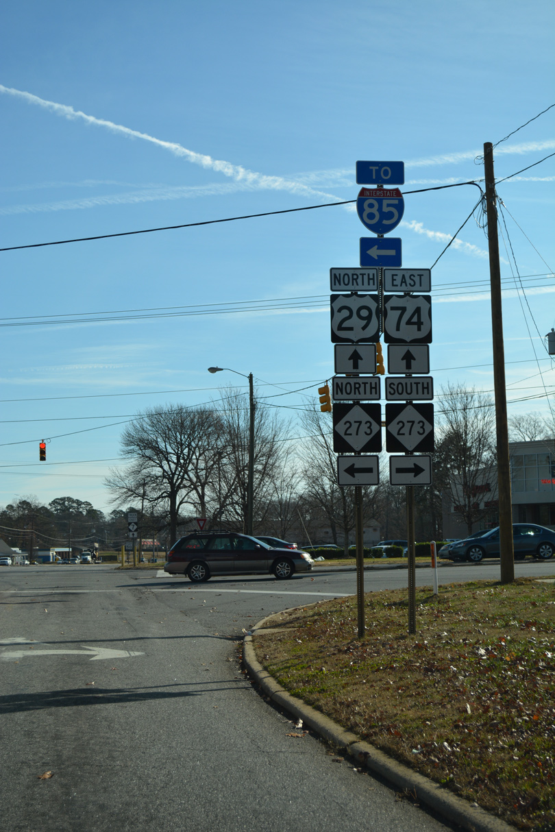
NC 273 heads south from Belmont to Lake Wylie and NC 279 (S New Hope Road) near the South Carolina border.
12/15/16
12/15/16
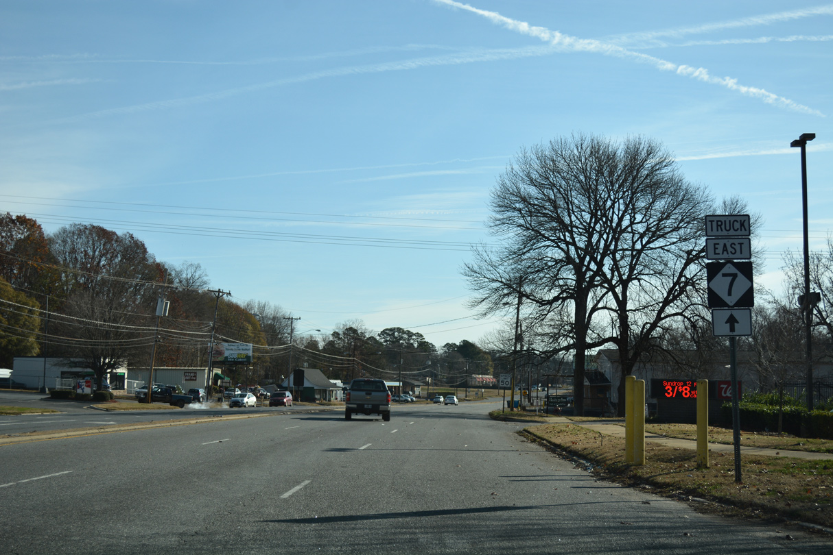
The truck route for NC 7 continues east alongside U.S. 29/74 (Wilkinson Boulevard) to NC 7 at Catawba Street.
12/15/16
12/15/16
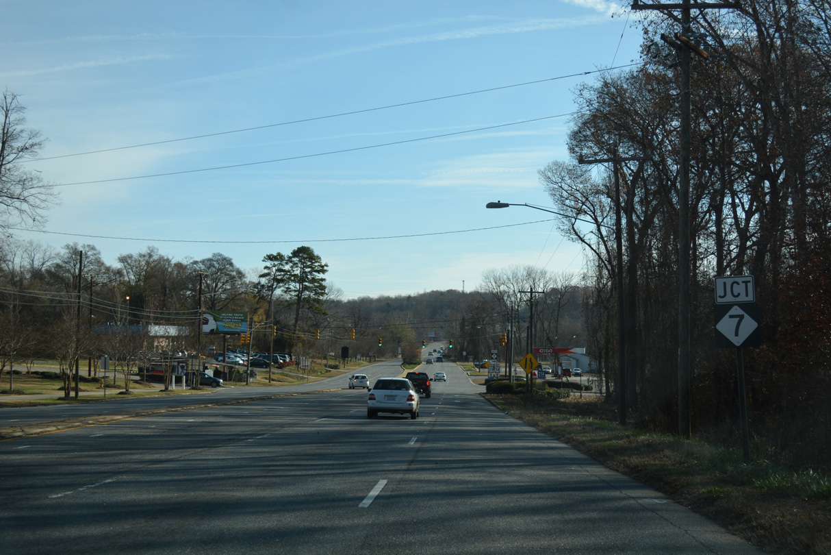
NC 7 (Catawba Street) concludes at U.S. 29/74 adjacent to Kevin Loftin Riverfront Park.
12/15/16
12/15/16
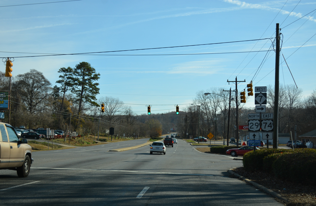
NC 7 loops back to the west along Catawba Street to Main Street and Downtown Belmont.
12/15/16
12/15/16
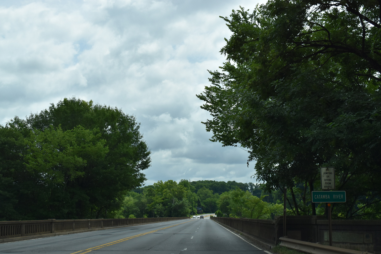
U.S. 29/74 span the Catawba River on the Sloans Ferry Bridge.
05/31/21
05/31/21
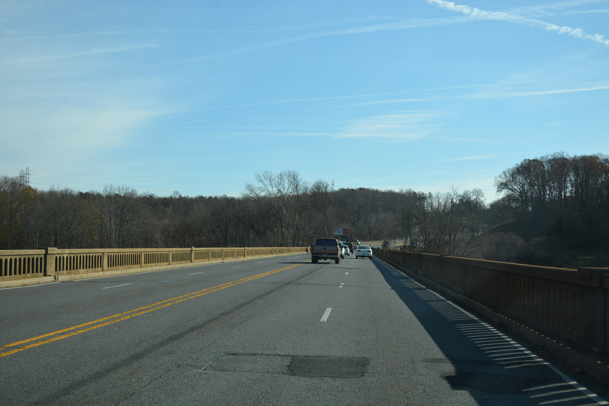
The Sloans Ferry Bridge is a steel stringer bridge dating back to 1933.1
12/15/16
12/15/16
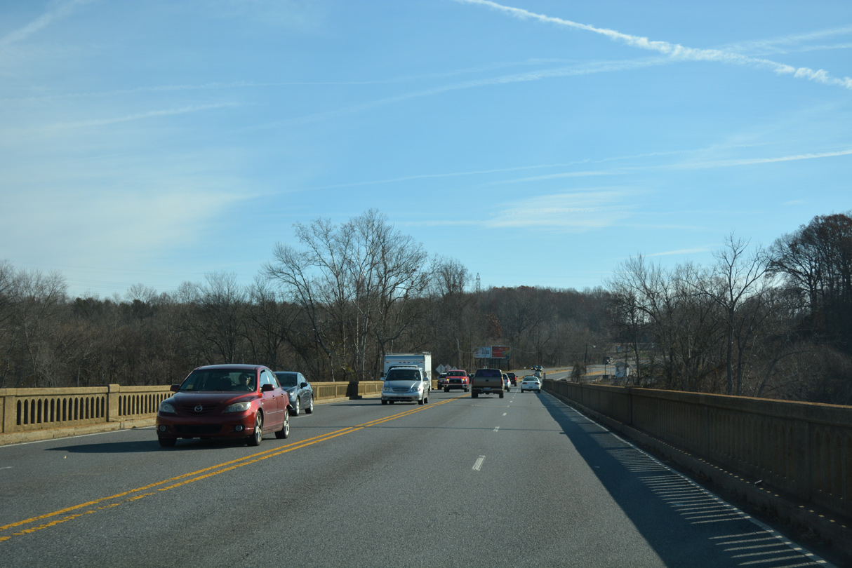
With a 40 foot wide deck, the four lane Sloans Ferry Bridge measures 1,124 feet in length.1
12/15/16
12/15/16
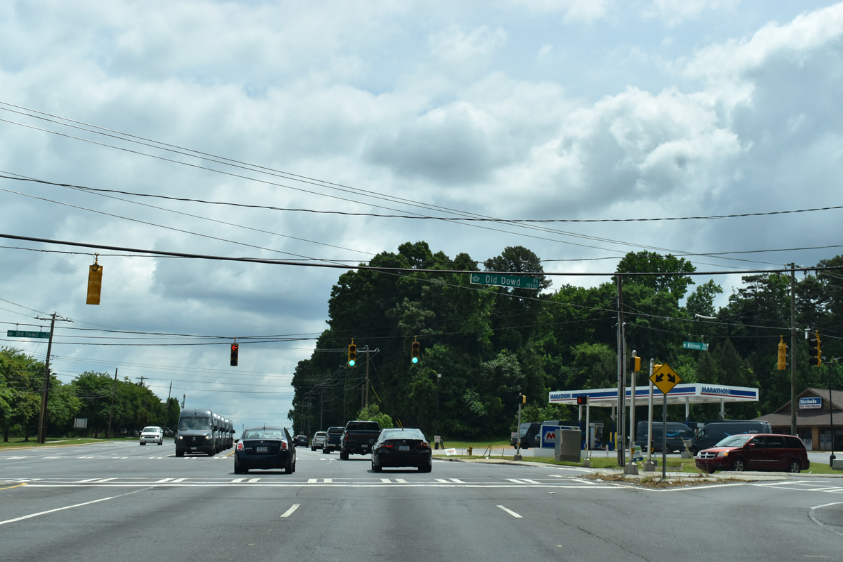
Old Dowd Road (SR 1191) branches 1.89 miles southeast from U.S. 29/74 (Wilkinson Boulevard) to the perimeter of Charlotte Douglas International Airport (CLT).
05/31/21
05/31/21
12/15/16
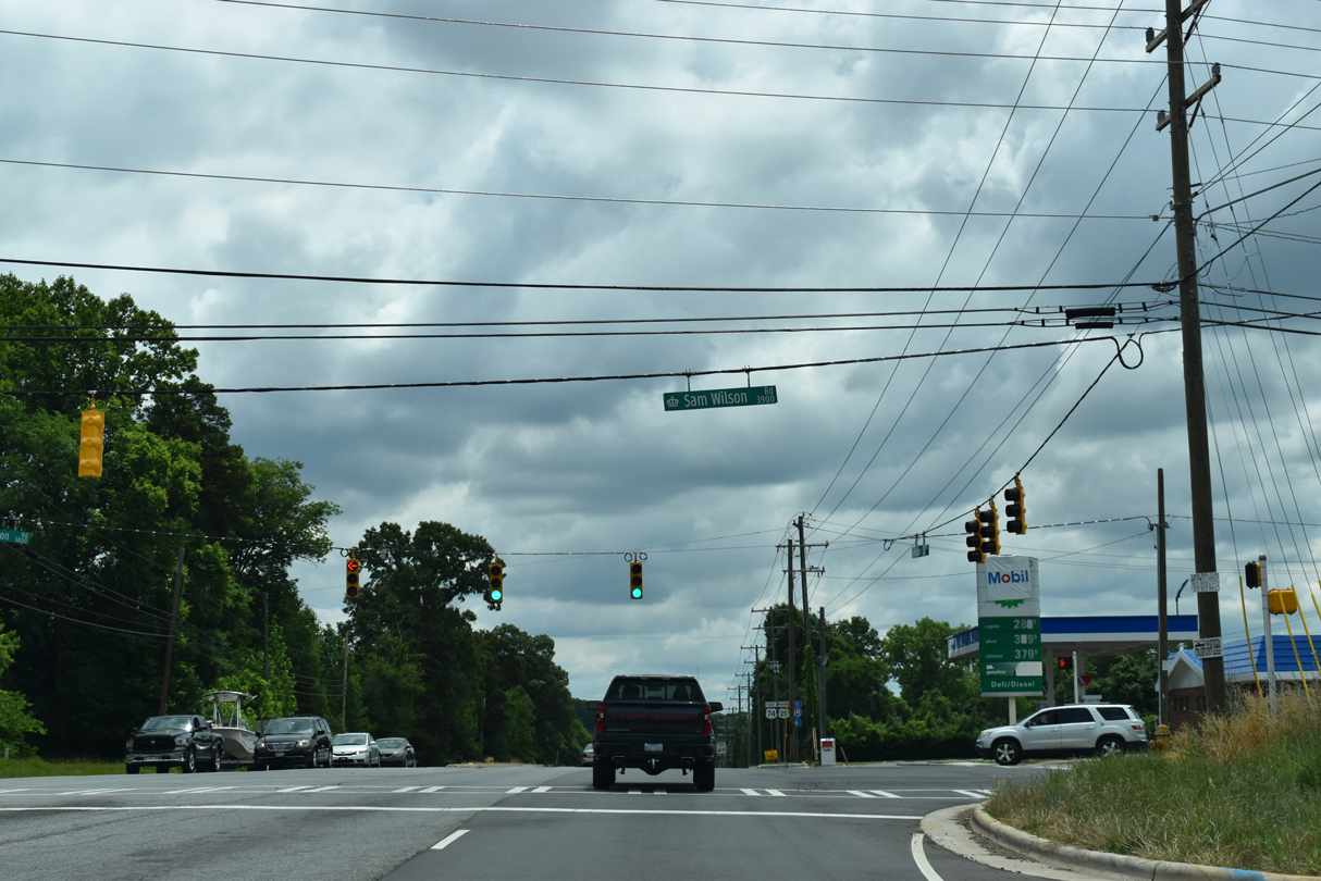
Sam Wilson Road (SR 1197) stems 0.59 miles north from Old Dowd Road to U.S. 29/74 and as SR 1625, 0.90 miles to I-85 at Exit 29.
05/31/21
05/31/21
05/31/21
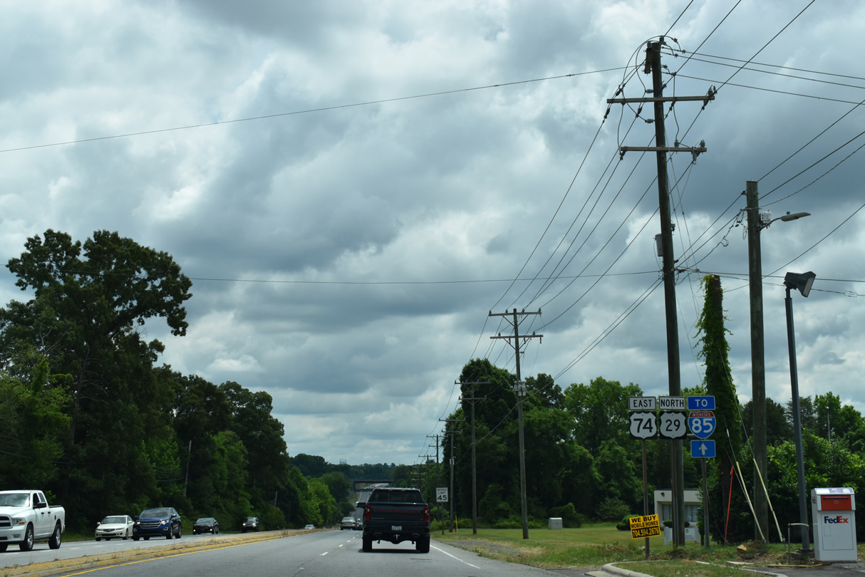
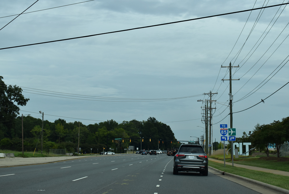
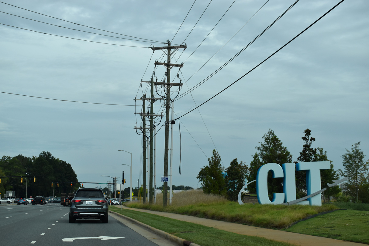
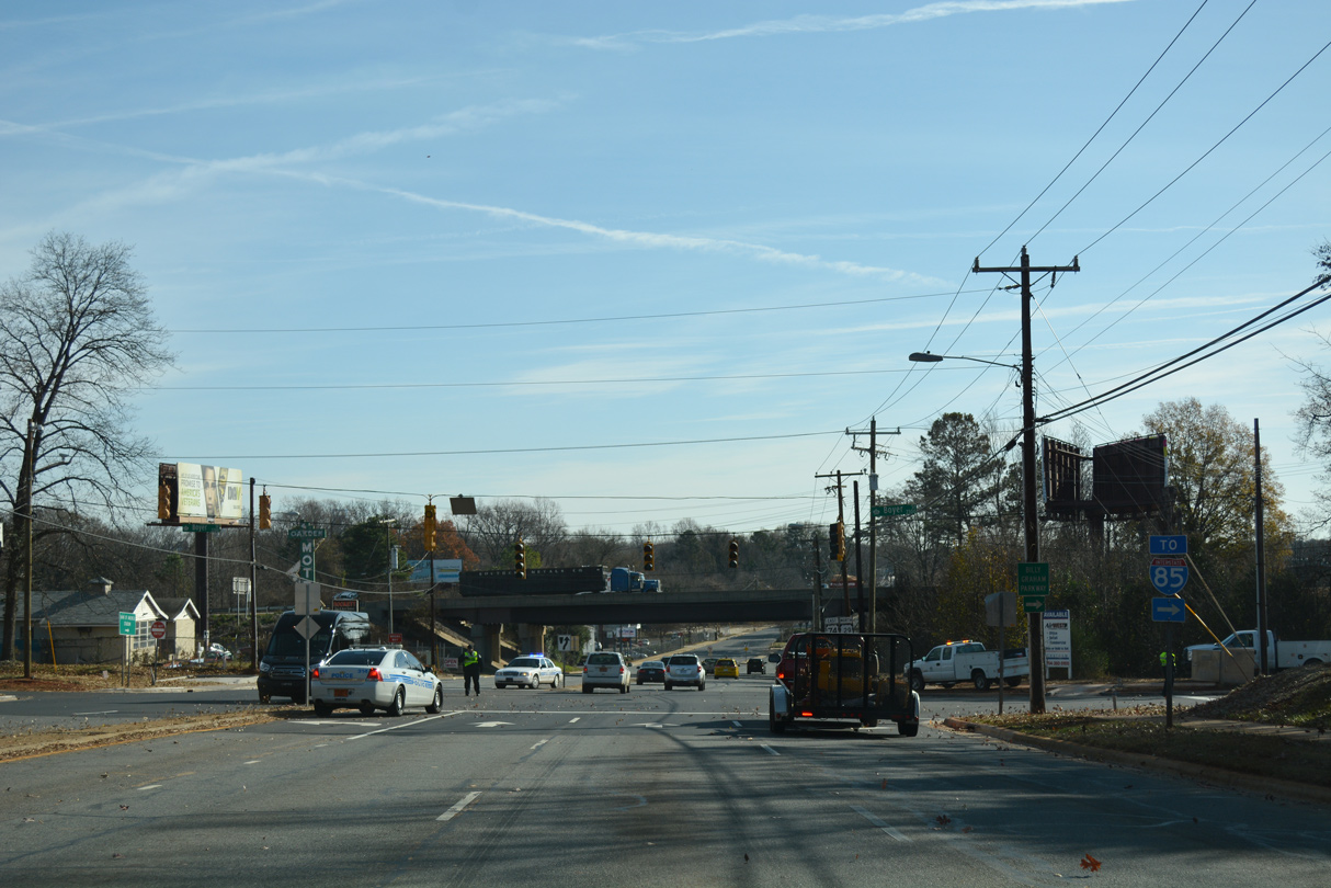
Continuing east, Wilkson Boulevard meets I-485 at a folded diamond interchange (Exit 9).
05/31/21
05/31/21
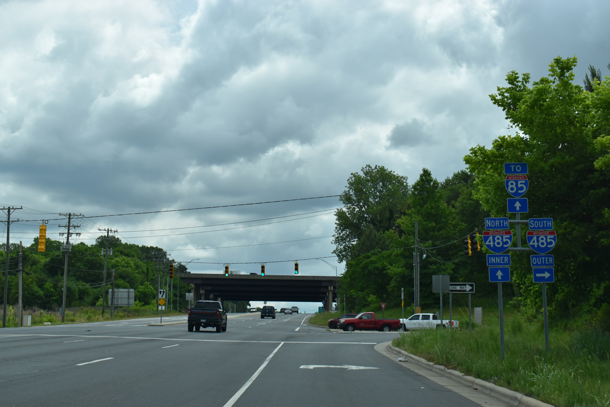
The outer loop of I-485 runs along the west side of CLT Airport to Shopton, Ayrsley and I-77 north of Pineville.
05/31/21
05/31/21
12/15/16
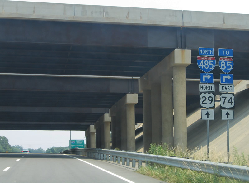
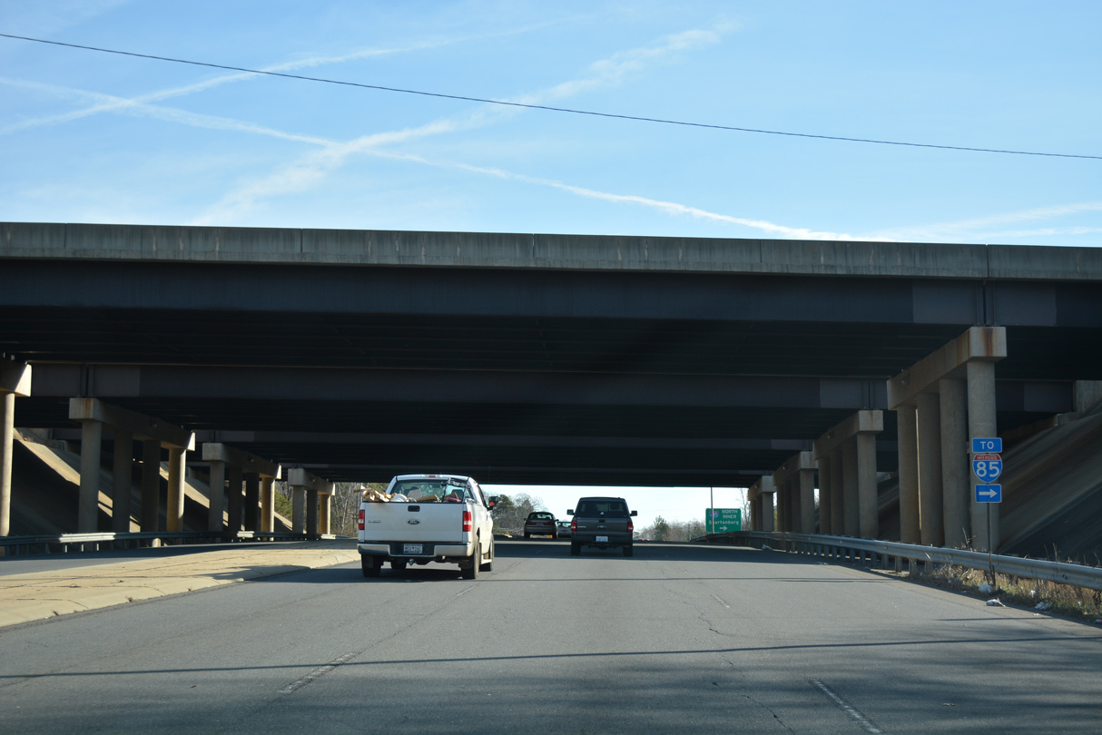
A previous shield assembly for the loop ramp joining I-485 north from U.S. 29 north / 74 (Wilkinson Boulevard) east.
06/22/05
06/22/05
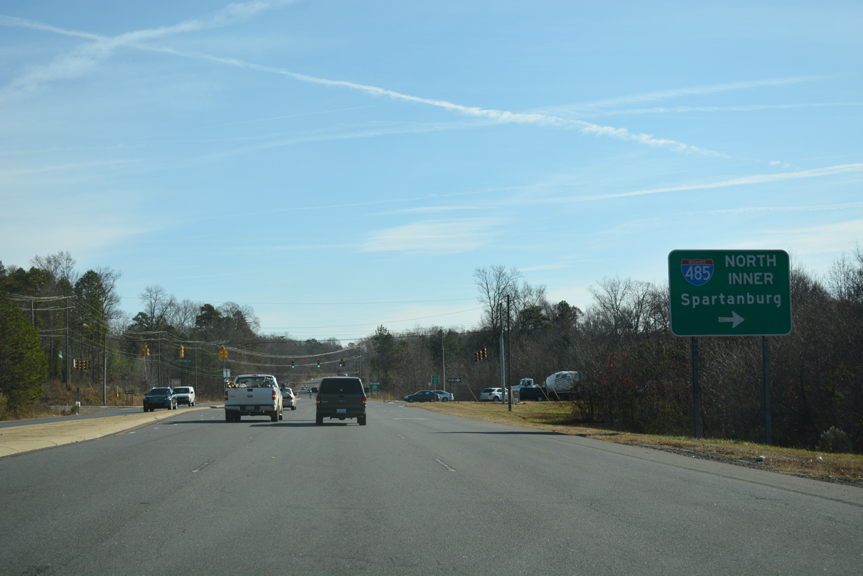
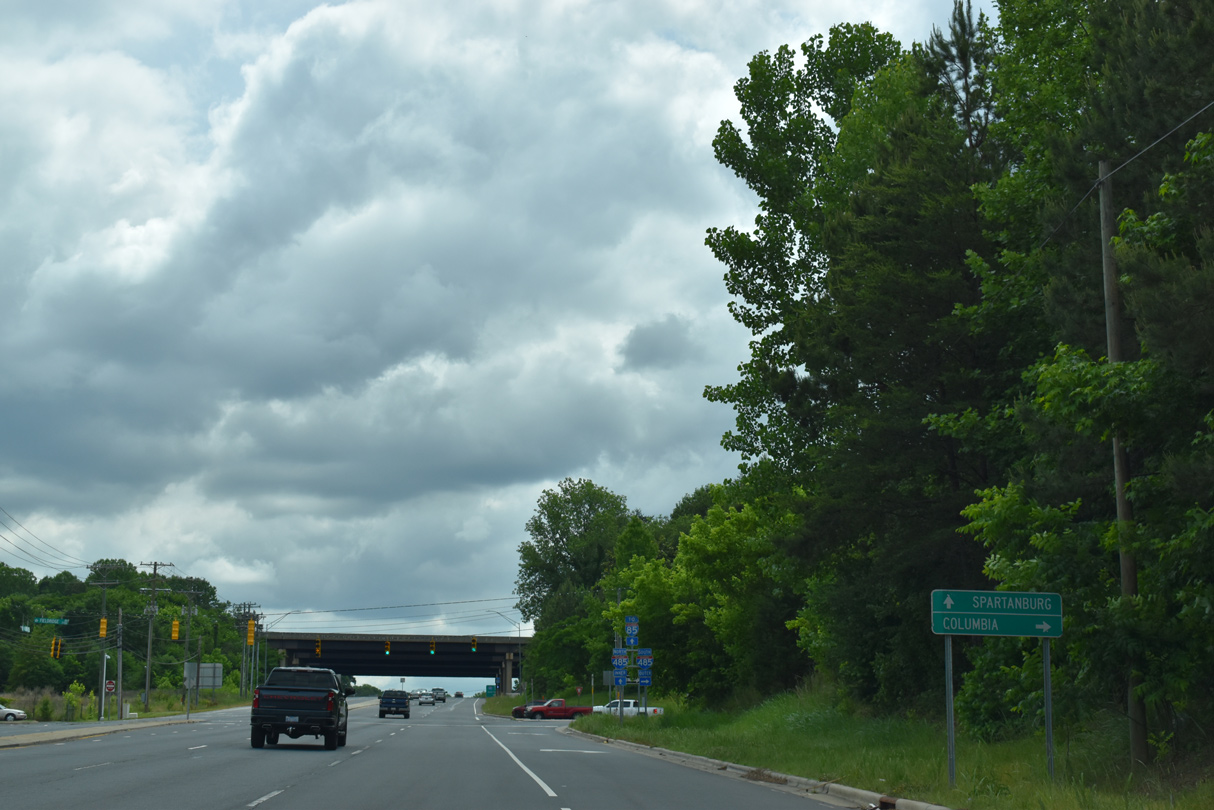
Spartanburg references the nearby connection from the inner loop of I-485 with I-85 south. I-485 continues to the northwestern suburbs and the Mountain Island Lake area.
12/15/16
12/15/16
12/15/16
09/16/21

Construction in 2019 of an Amazon Distribution Center on a 100 acre site off Tuckaseegee Road included a realignment the Tuckaseegee Road south to a new signalized intersection with U.S. 29/74 and the eastern extension of Todd Road.2
09/16/21
09/16/21
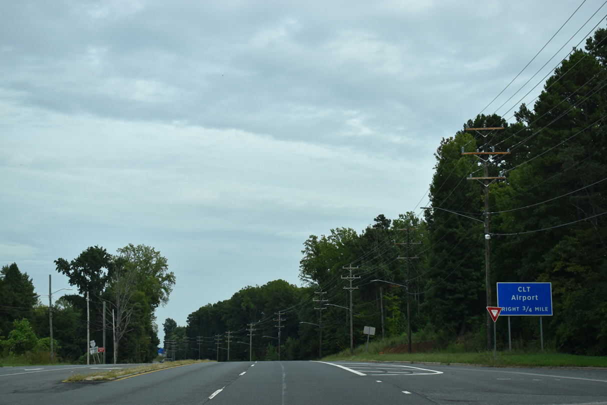
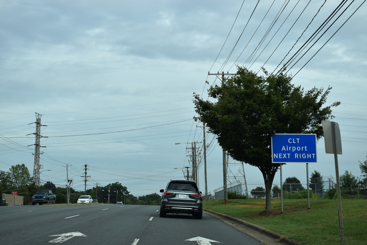
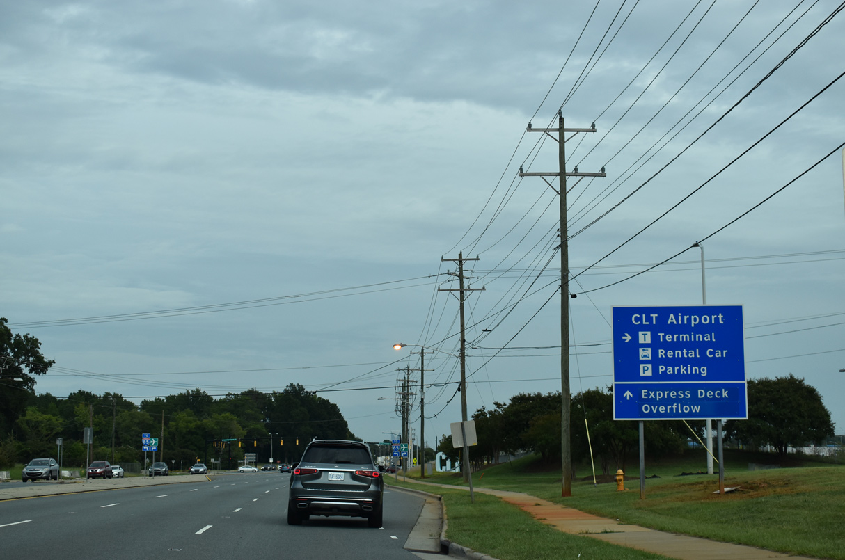
The main entrance to Charlotte Douglas International Airport (CLT) lies 0.75 miles east of Marshall Drive.
09/16/21
09/16/21
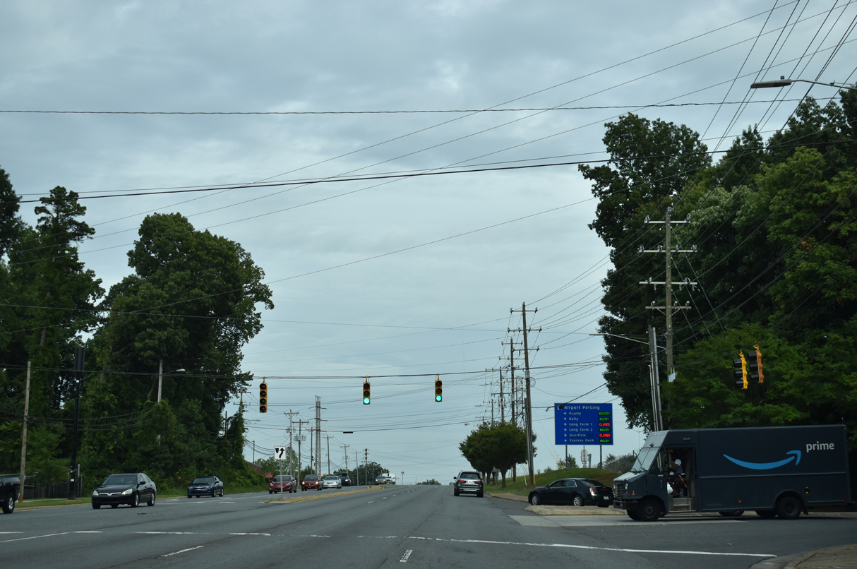
U.S. 29/74 (Wilkinson Boulevard) east at Barry Drive.
09/16/21
09/16/21
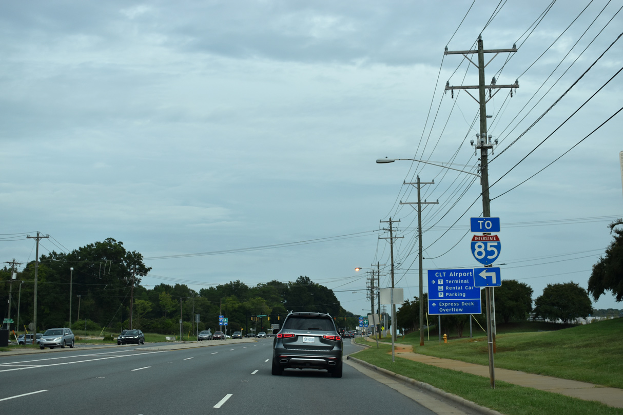
Forthcoming Josh Birmingham Parkway leads south to the passenger terminal at CLT Airport.
09/16/21
09/16/21

John Birmingham Parkway north to Little Rock Road (SR 1641) leads to Interstate 85.
09/16/21
09/16/21
09/16/21
09/16/21
09/16/21
09/16/21
12/15/16
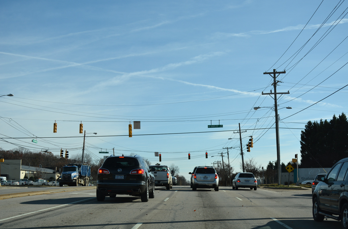
Harlee Avenue connects U.S. 29/74 with long term parking lots at CLT Airport.
12/15/16
12/15/16
Boyer Street links U.S. 29/74 with Billy Graham Parkway (SR 5901).
12/15/16
12/15/16
12/15/16

Morris Field Drive angles southwest to the air cargo area of Charlotte Douglas International Airport (CLT).
12/15/16
12/15/16
12/15/16
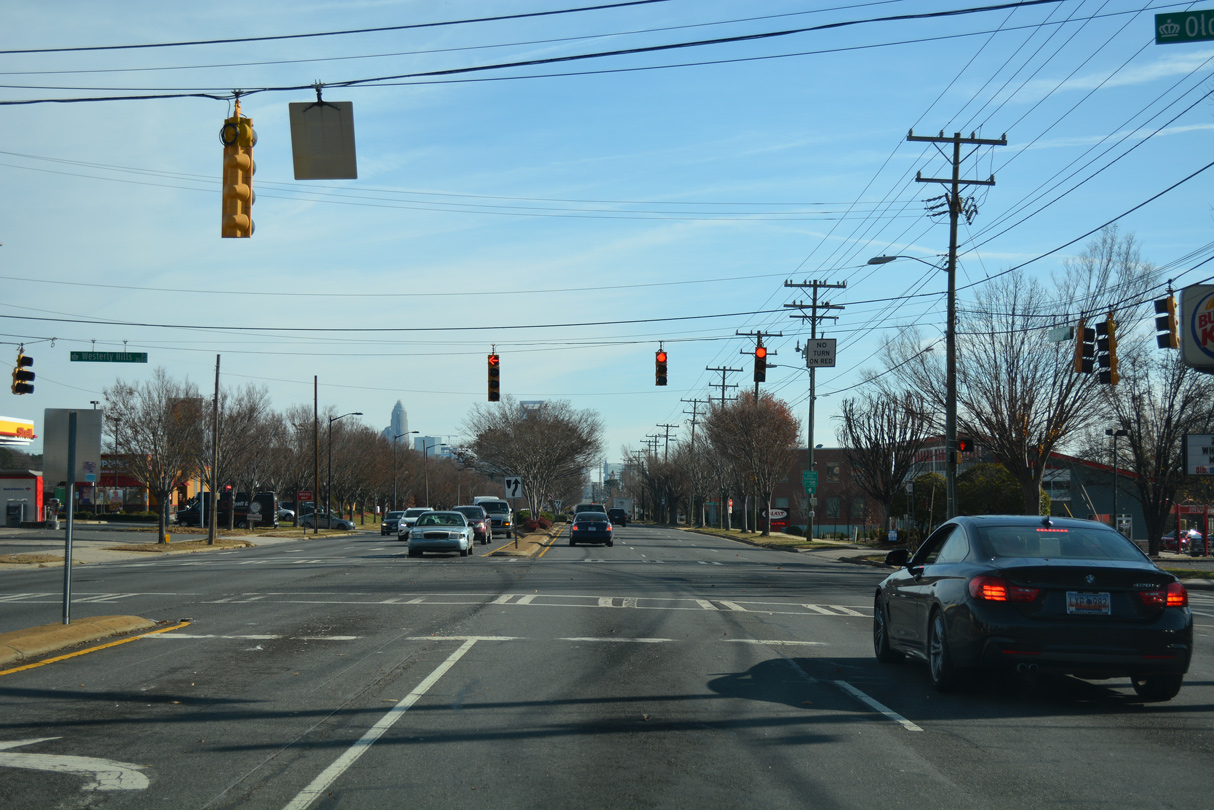
The succeeding traffic light on U.S. 29/74 east is with Old Steele Creek Road south and Westerly Hills Drive north.
12/15/16
12/15/16
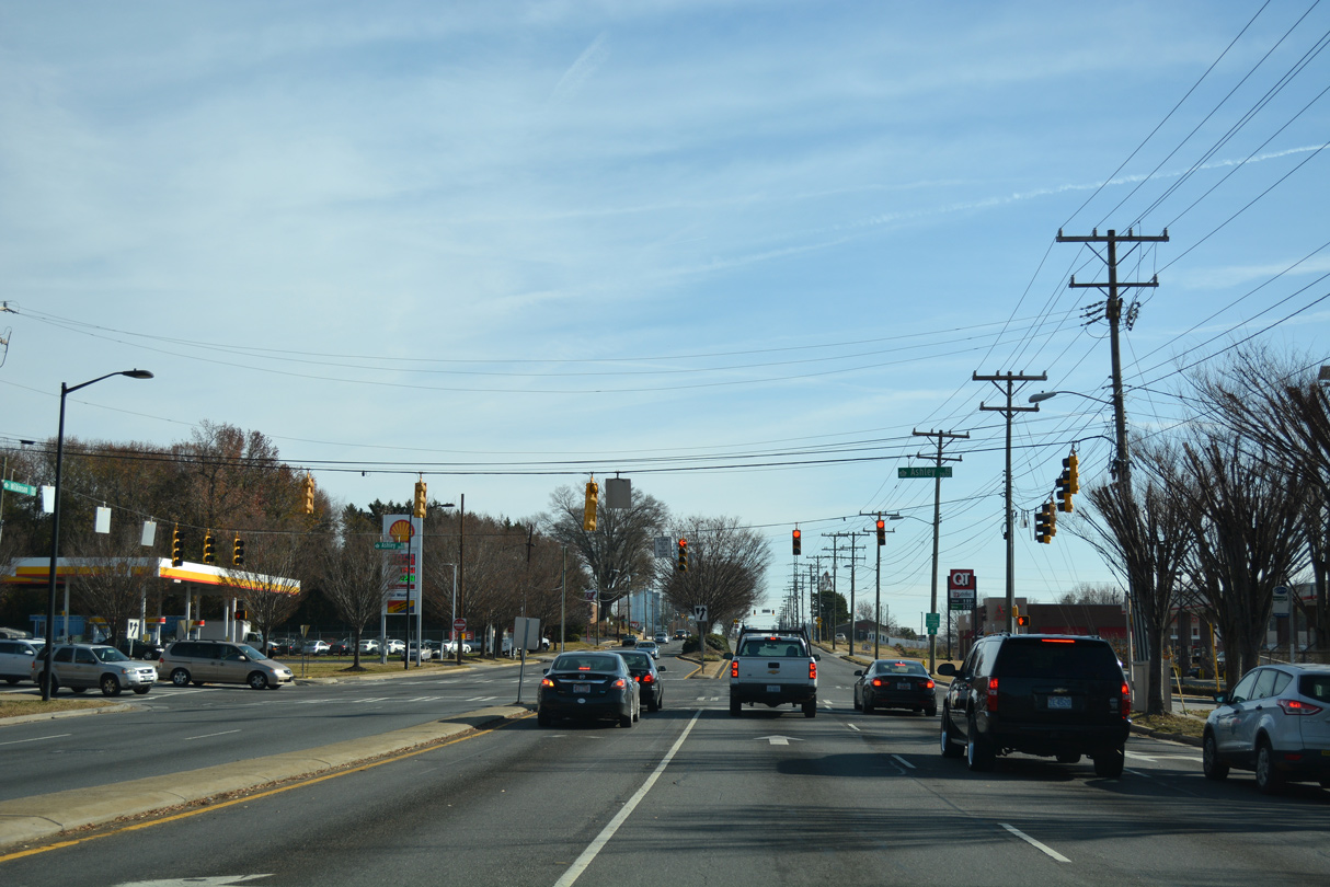
U.S. 29/74 pass Wilkinson Boulevard Shopping Center east to the signal with Ashley Road.
12/15/16
12/15/16
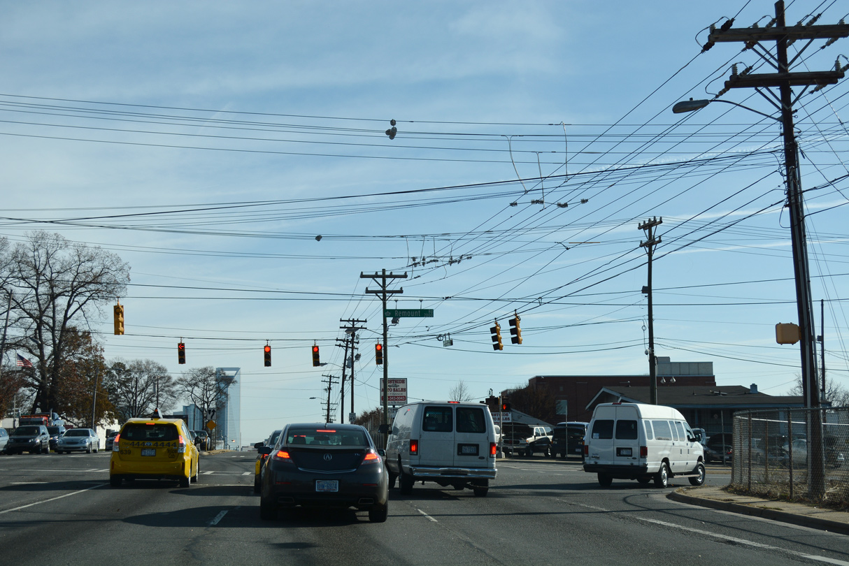
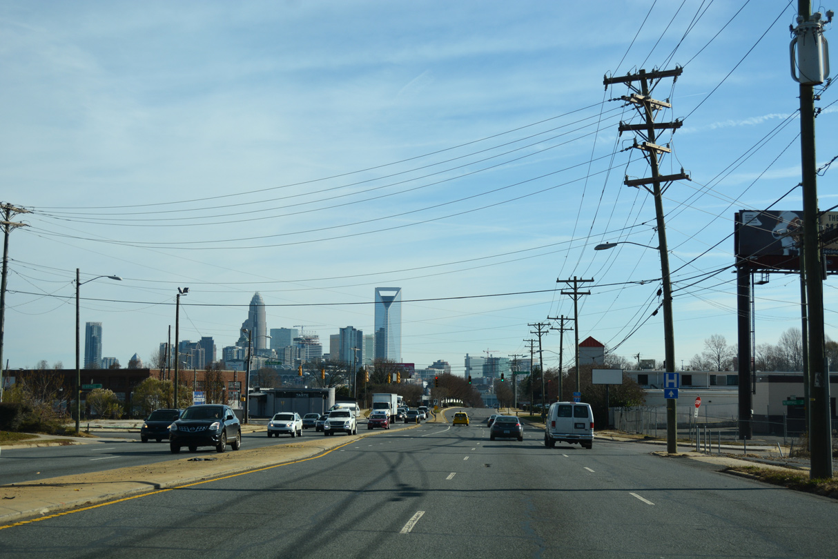
Remount Road heads south from U.S. 29/74 to NC 160 (West Boulevard), Dr. Charles L. Sifford Golf Course and I-77 south.
12/15/16
12/15/16
12/15/16
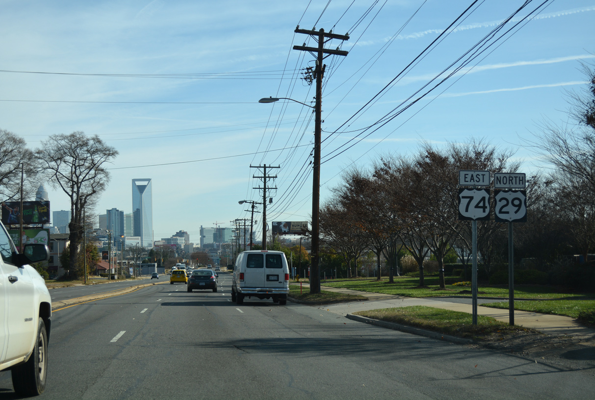
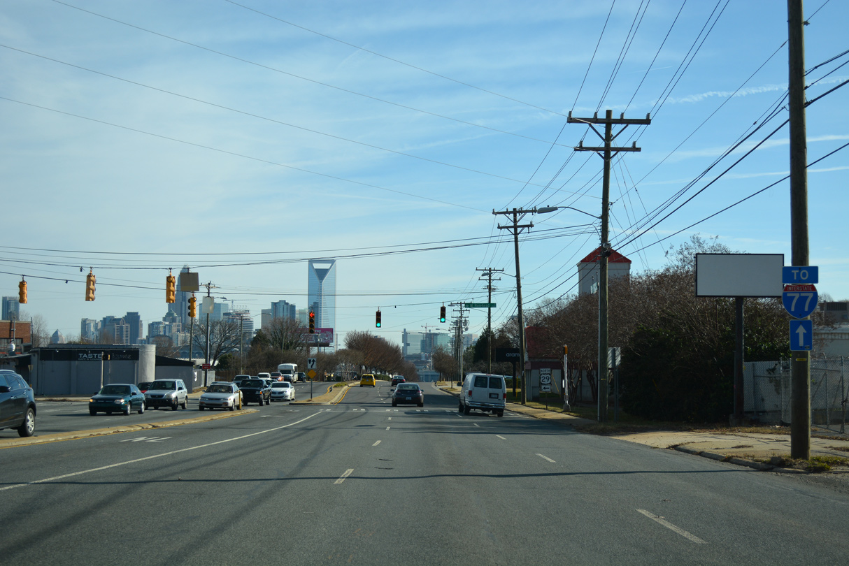
U.S. 29 shifts onto W Morehead Street from U.S. 74 (Wilkinson Boulevard).
12/15/16
12/15/16
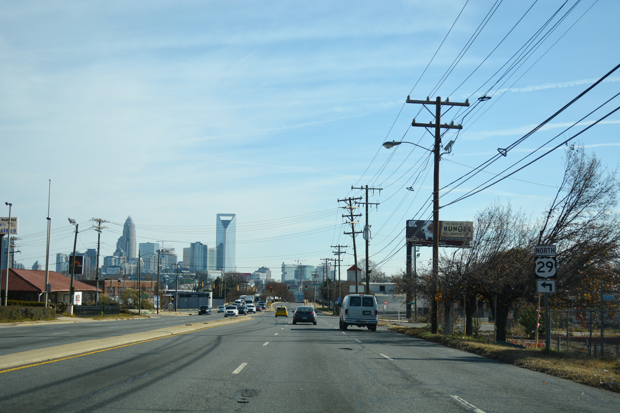
U.S. 29 loops around the exchange joining U.S. 74 with I-77/277 to Uptown Charlotte.
12/15/16
12/15/16
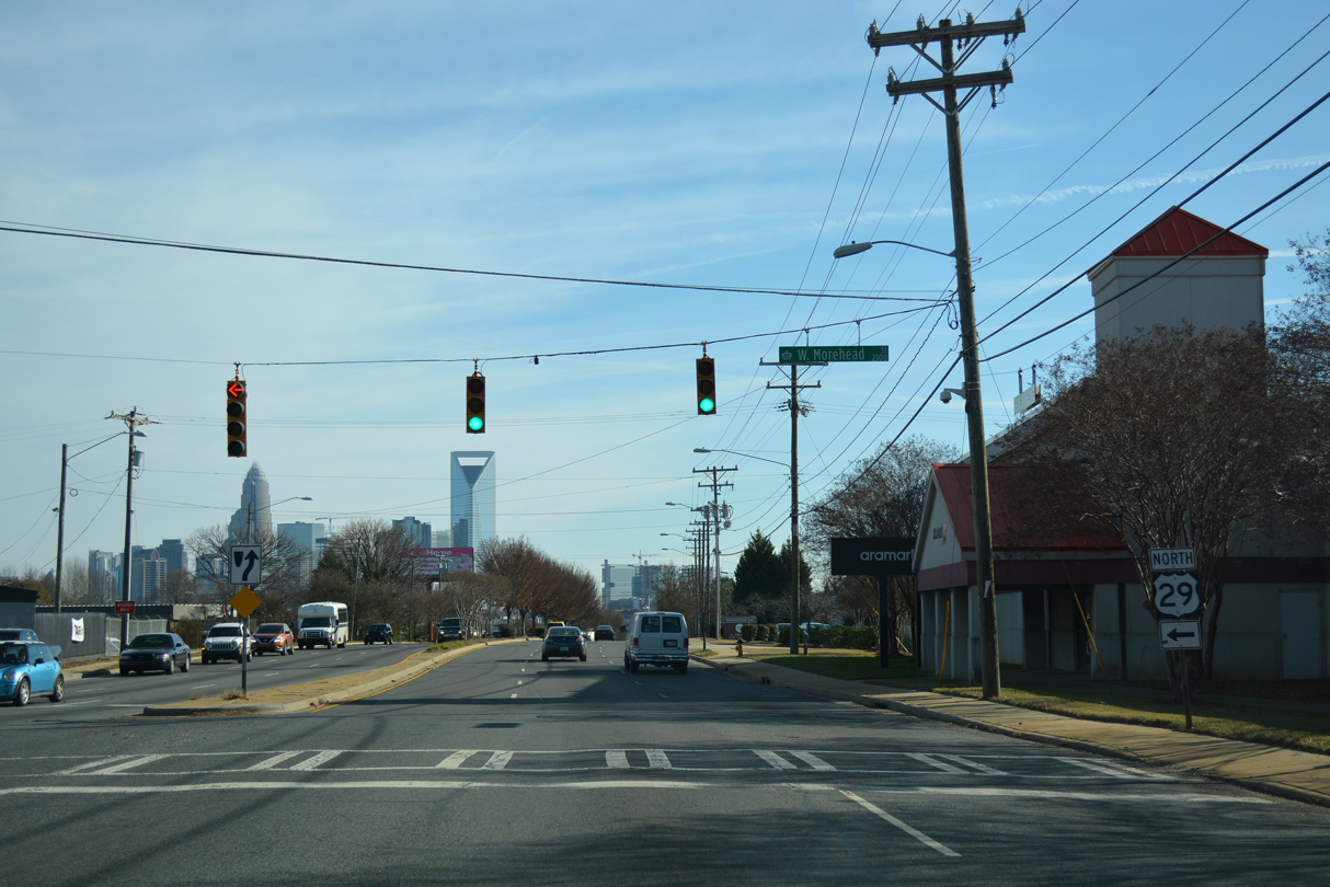
Beyond U.S. 29 (W Morehead Street), Wilkinson Boulevard leads 0.44 miles east to the entrance ramp for Interstate 77 south.
12/15/16
12/15/16
U.S. 29 and U.S. 74 meet again at I-277 (John Belk Freeway) and S Mint Street adjacent to Bank of America Stadium.
12/15/16
12/15/16
References:
- Sloans Ferry Bridge. http://bridgehunter.com/nc/gaston/catawba-river/ Bridgehunter.com.
- "Amazon Distribution Center headed to Charlotte, commitment finalized." WBTV TV-3 (Charlotte, NC), August 1, 2018.
Photo Credits:
- Alex Nitzman: 06/22/05, 12/15/16
- Brent Ivy: 05/31/21, 09/16/21
Connect with:
Page Updated Wednesday December 01, 2021.