
U.S. 29/74 West - Charlotte to Belmont


 South
South  West
West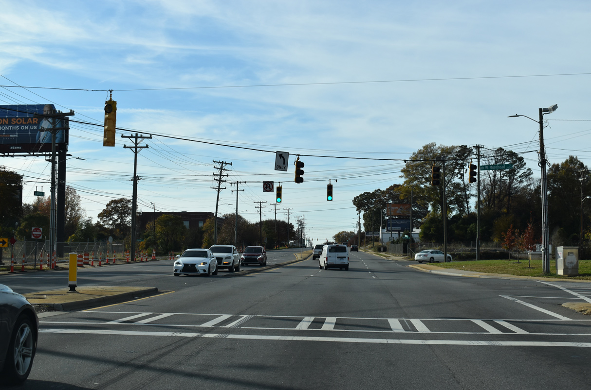
U.S. 29 combines with U.S. 74 (Wilkinson Boulevard) west from Morehead Street. Neither route is acknowledged at the signalized intersection.
11/20/21
11/20/21
Remount Road runs south from Camp Greene to NC 160 at Revolution Park and I-77/U.S. 21 south at Southside Park in Charlotte.
11/20/21
11/20/21
Confirming markers posted west of the exchange with I-485 (Charlotte Beltway) and Fieldridge Road.
05/31/21
05/31/21
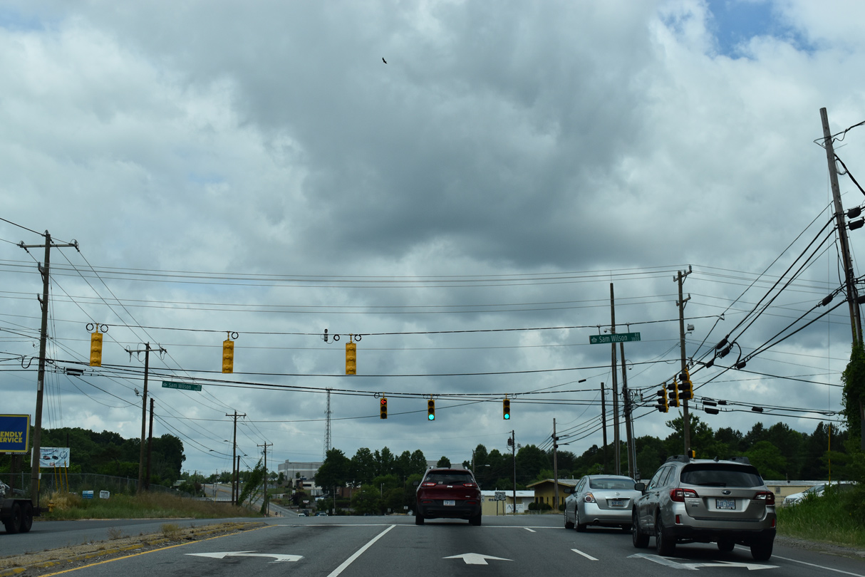
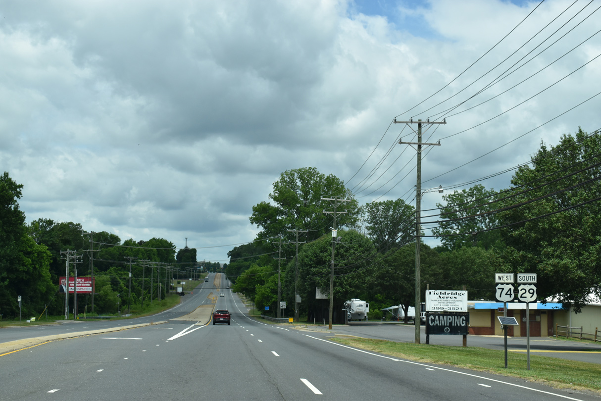
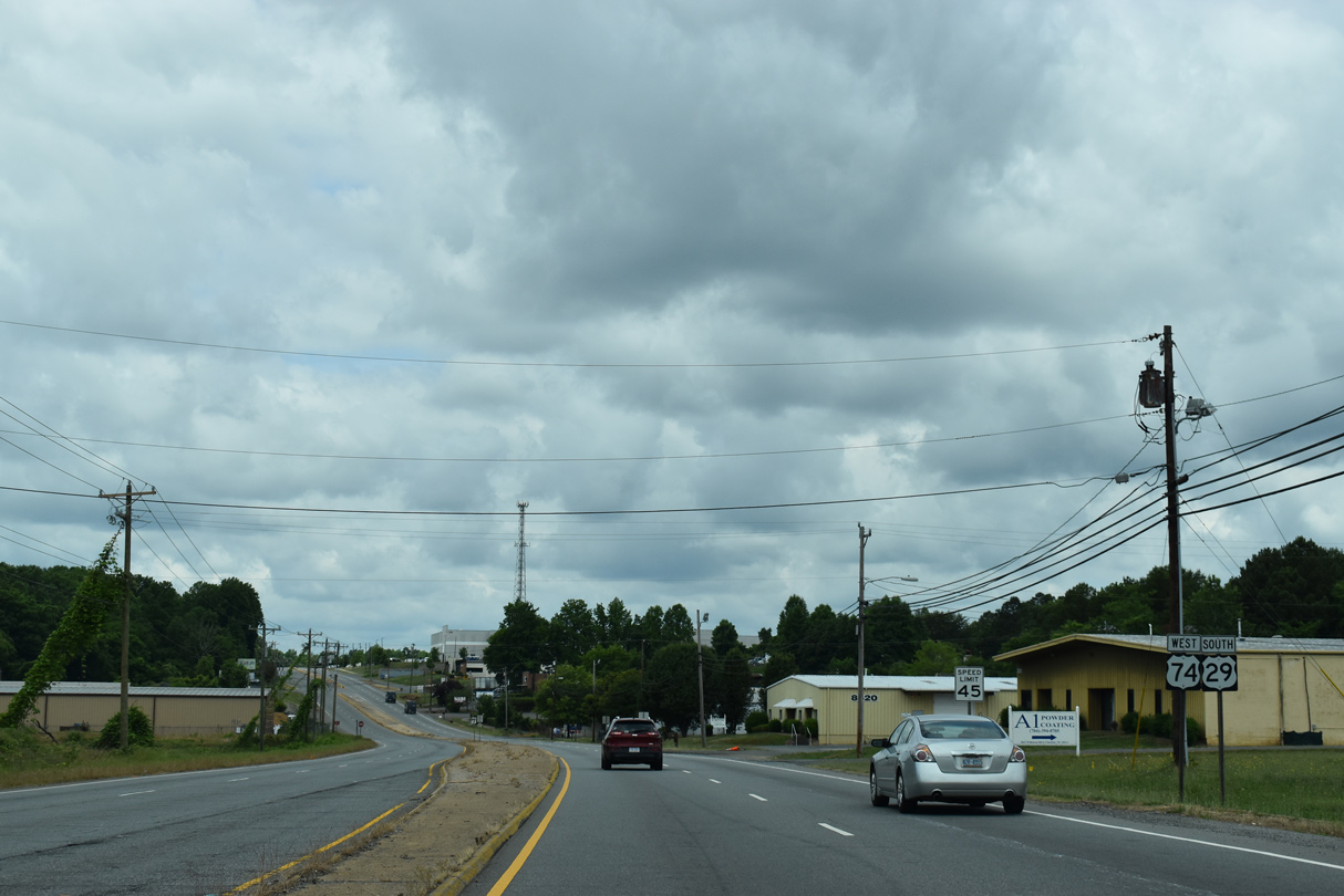
U.S. 29/74 (Wilkinson Boulevard) west next meet Sam Wilson Road (SR 1197/1625).
05/31/21
05/31/21
05/31/21
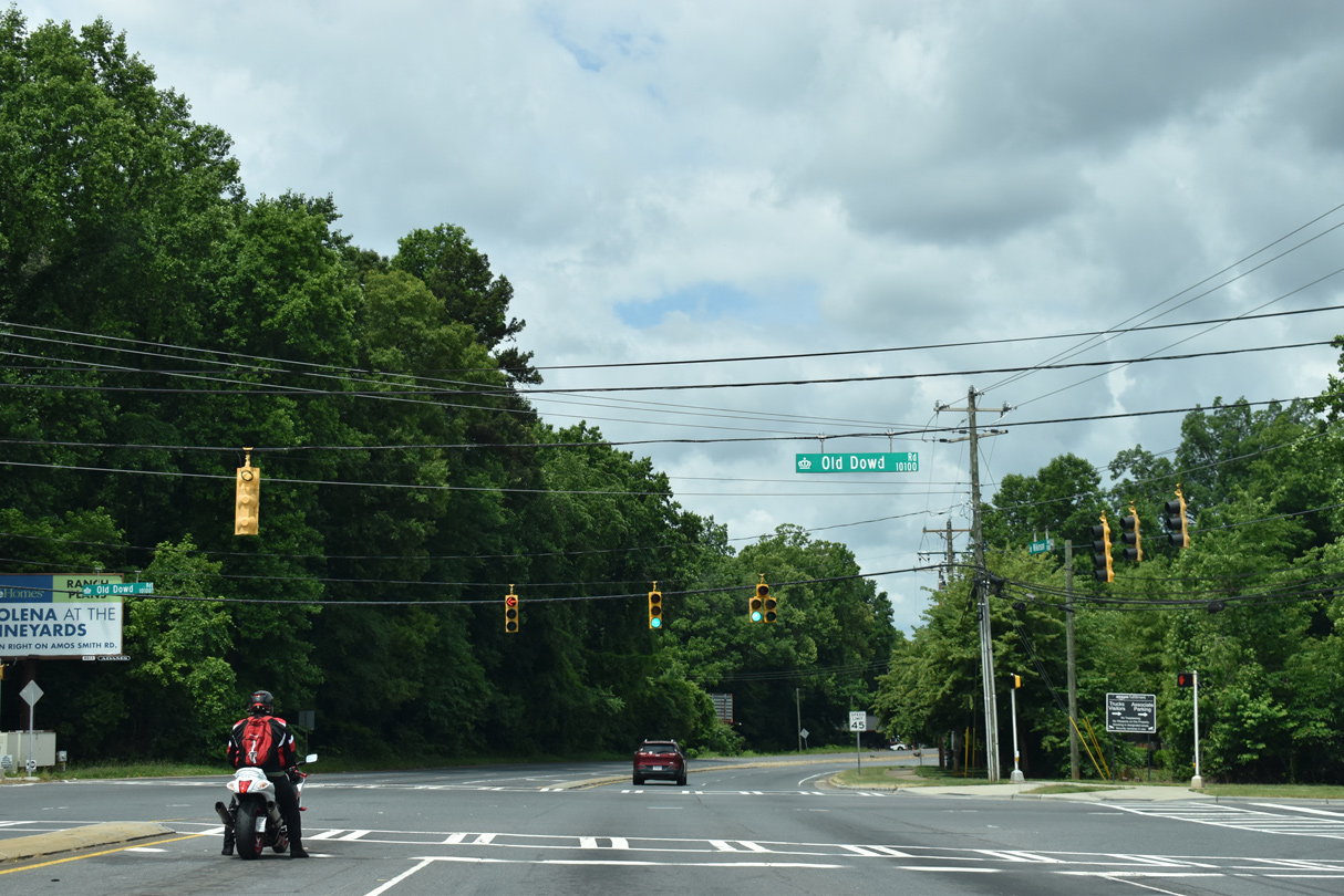
Old Dowd Road (SR 1191) converges with U.S. 29/74 (Wilkinson Boulevard) 1.89 miles west from the perimeter of Charlotte Douglas International Airport (CLT).
05/31/21
05/31/21
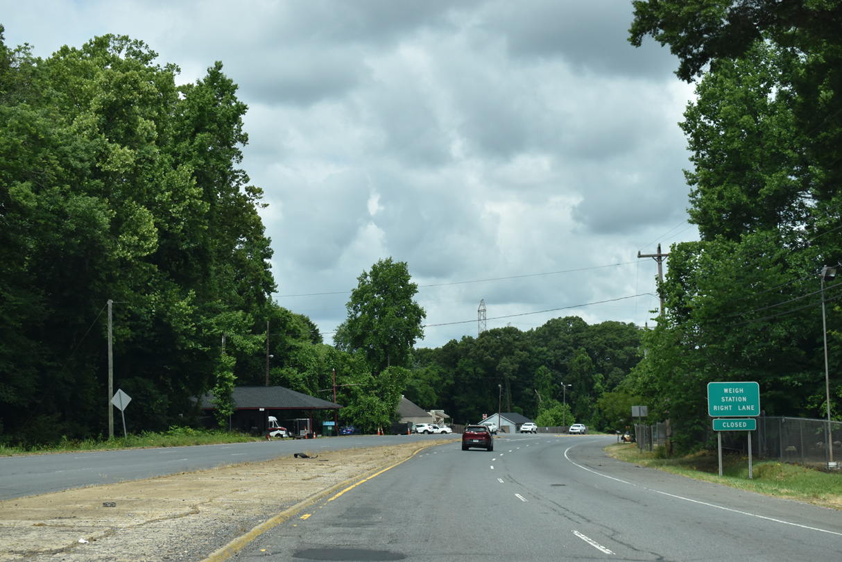
A truck weigh station for U.S. 29/74 westbound lies along forthcoming Moores Chapel Loop (SR 1600).
05/31/21
05/31/21
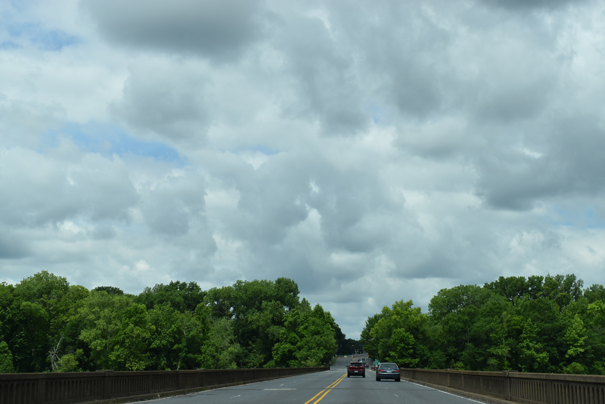
U.S. 29/74 span the Catawba River over the Sloans Ferry Bridge.
05/31/21
05/31/21
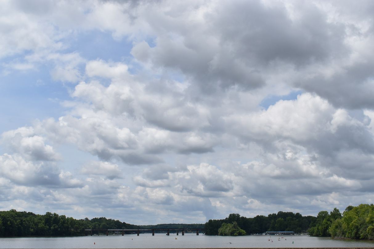
A Norfolk Southern Railroad line crosses the Catawba River south of the Sloans Ferry Bridge. The river flows southward into Lake Wylie.
05/31/21
05/31/21
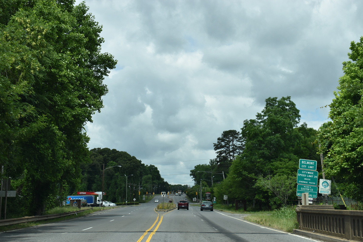
U.S. 29/74 (Wilkinson Boulevard) proceed west from the Catawba River into the city of Belmont in Gaston County.
05/31/21
05/31/21
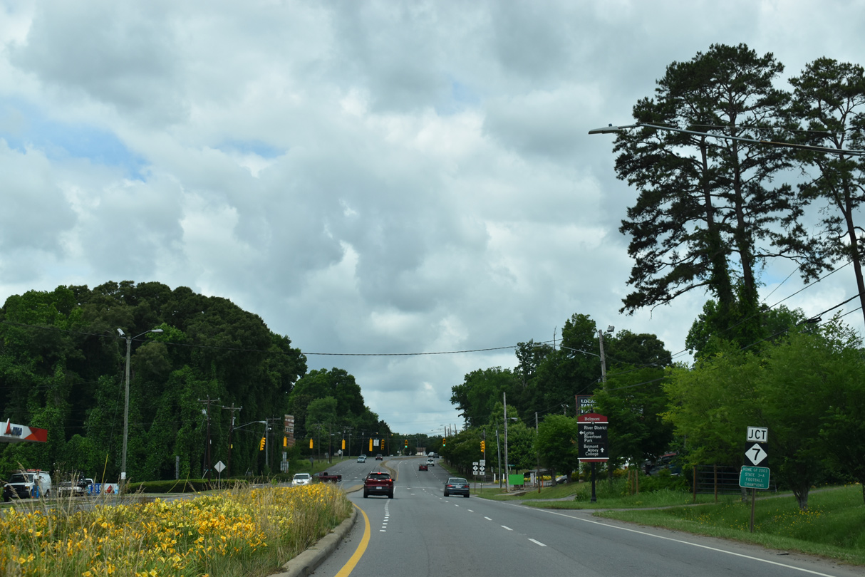
Wilkinson Boulevard intersects the east end of NC 7 (E Catawba Street) across from Hazeleen Avenue (SR 2083) north.
05/31/21
05/31/21
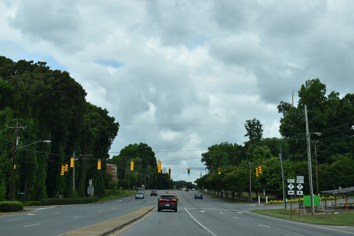
NC 7 loops south from U.S. 29/74 to the Belmont River District, returning to Wilkinson Boulevard in 1.71 miles along N Main Street. NC 7 runs 12.08 miles west from nearby Loftin Riverfront Park to U.S. 321 in Gastonia.
05/31/21
05/31/21
Photo Credits:
- ABRoads: 11/20/21
- Brent Ivy: 05/31/21
Connect with:
Page Updated Wednesday December 01, 2021.