
U.S. 29 North - Altavista to Lynchburg

 North
North
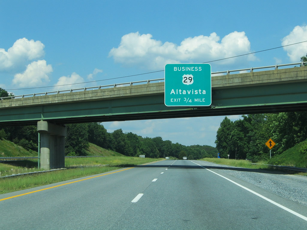
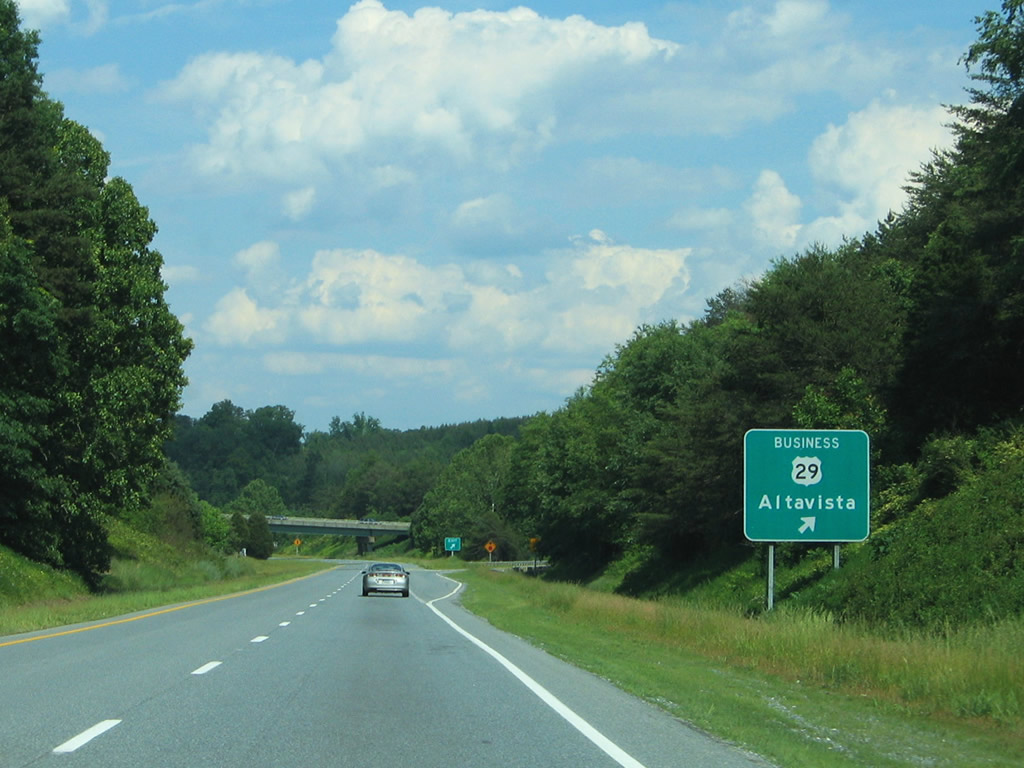
The first four interchanges of Campbell County serve the city of Altavista. SR 43 (Bedford Highway) travels 60 miles from Altavista northwest to Leesville, Bedford, Buchanan and U.S. 220 near Eagle Rock.
05/30/05
U.S. 29 (Wards Road) passes over Lynch Creek, Lynch Road (SR 626) and a Norfolk Southern railroad line after this northbound reassurance shield.
05/30/05
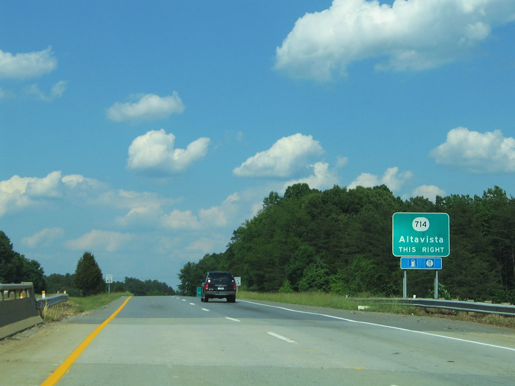
SR 714 (Lynch Mill Road) spurs west from U.S. 29 Business (Main Street) to meet U.S. 29 (Wards Road) at a folded diamond interchange. SR 714 turns north from the exit to SR 712 (Dearing Ford Road) near Lynch Station before merging into SR 626 (Goodman Crossing Road).
05/30/05
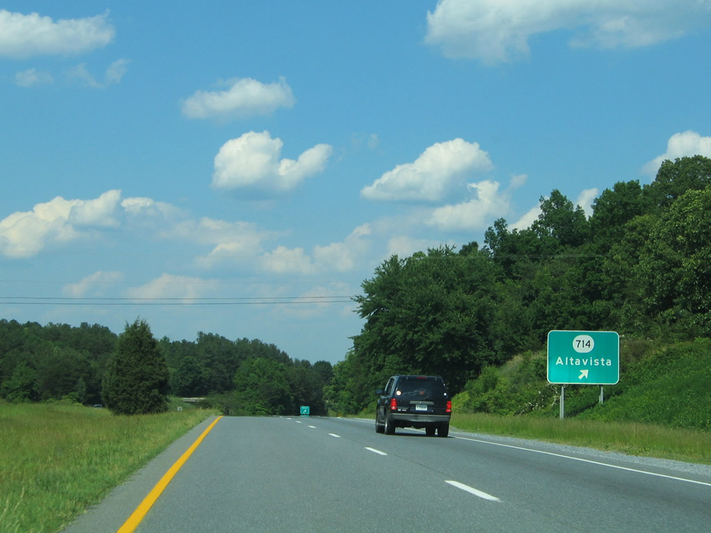
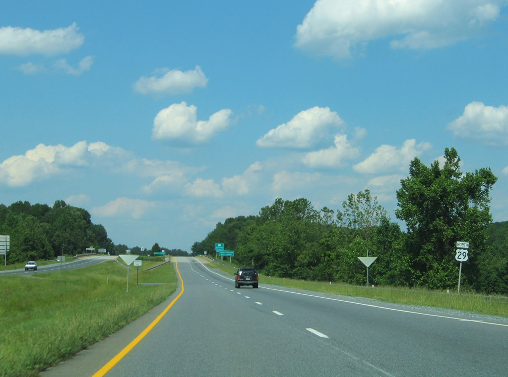
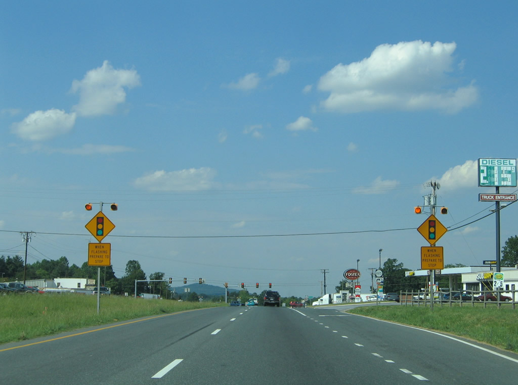
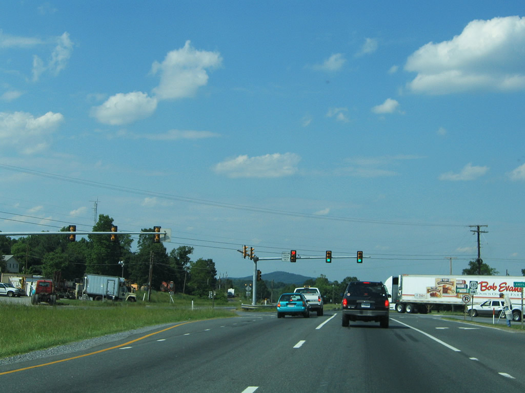
Turning eastward, U.S. 29 partitions with the northbound off-ramp to SR 714 (Lynch Mill Road). SR 714 east to Ogden Road connects with Avondale Drive south into the Altavista street grid.
05/30/05
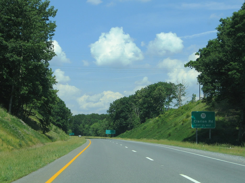
SR 711 (Clarion Road) leads north from SR 714 (Lynch Mill Road) to meet U.S. 29 at a parclo interchange.
05/30/05
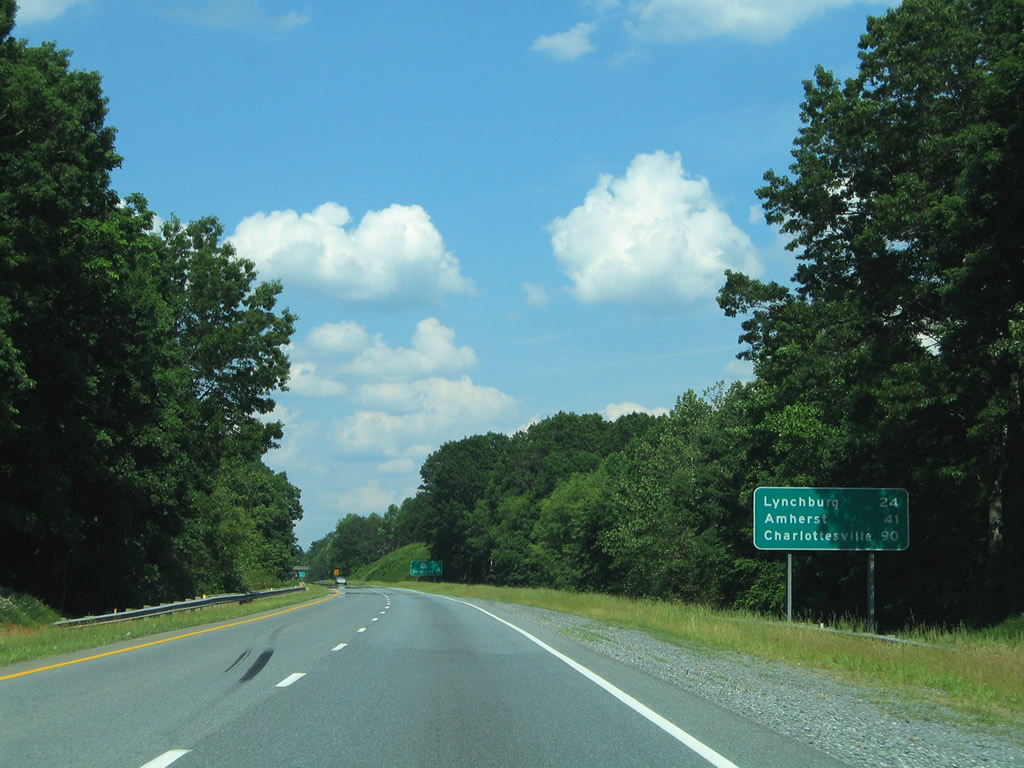
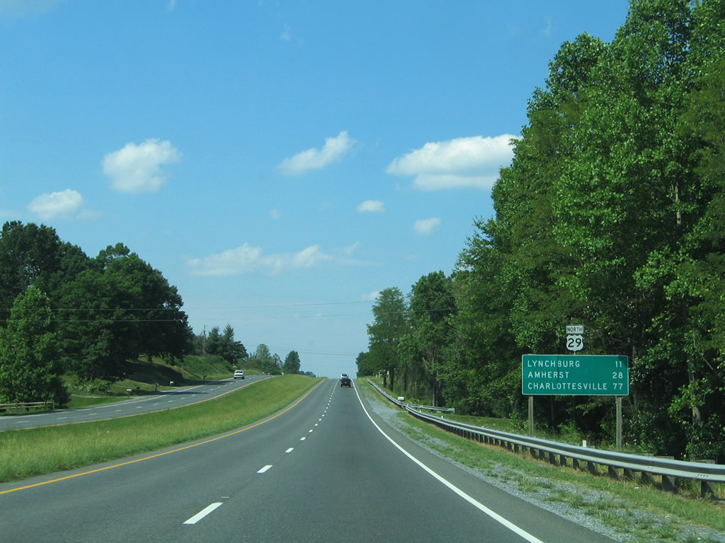
Lynchburg is 24 miles to the north, followed by Amherst. Charlottesville (Interstate 64 and U.S. 250), remains an an hour and a half drive away.
05/30/05
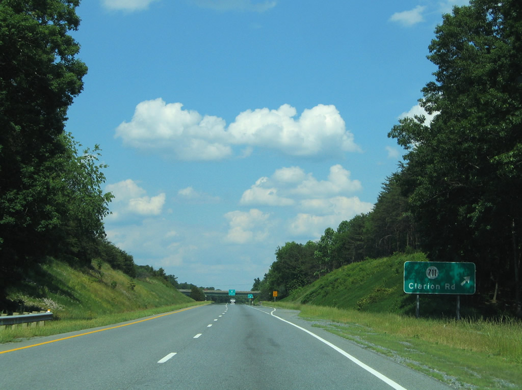
Drivers bound for SR 714 (Clarion Road) leave U.S. 29 (Wards Road) north. SR 711 ventures north from Altavista to Scott Mountain and Otter River.
05/30/05
U.S. 29 Business (Main Street) angles northeast, parallel to a NS Railroad line, from SR 714 to end at a diamond interchange with U.S. 29.
05/30/05
The Main Street off-ramp also connects with SR 712 (Dearing Ford Road) west to SR 711 and 714.
05/30/05
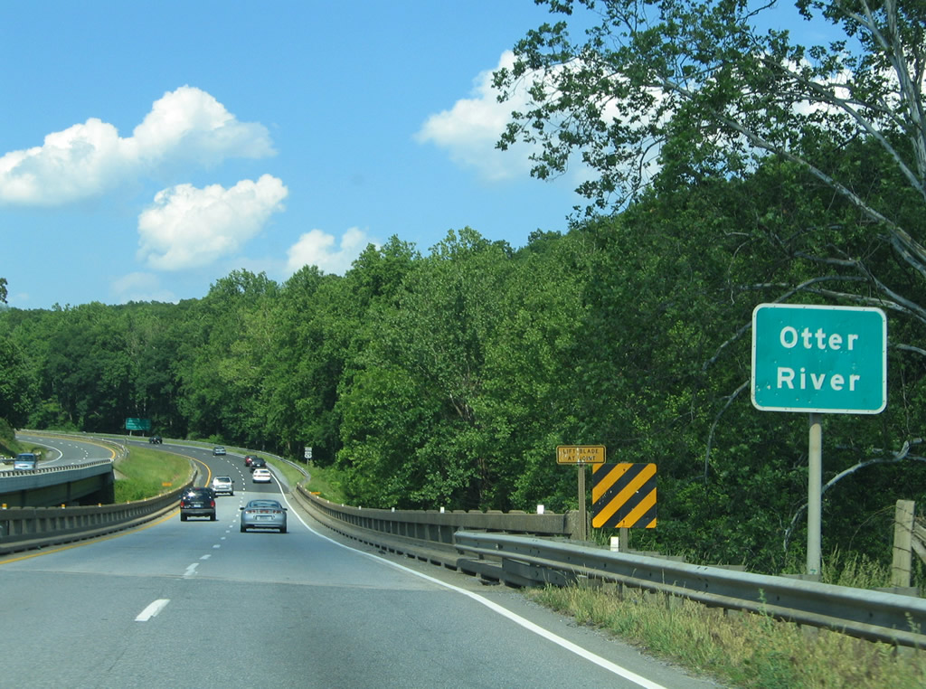
U.S. 29 (Wards Road) spans the Otter River immediately after the merge with Main Street.
05/30/05
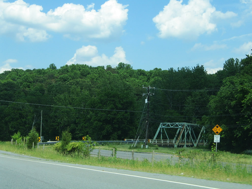
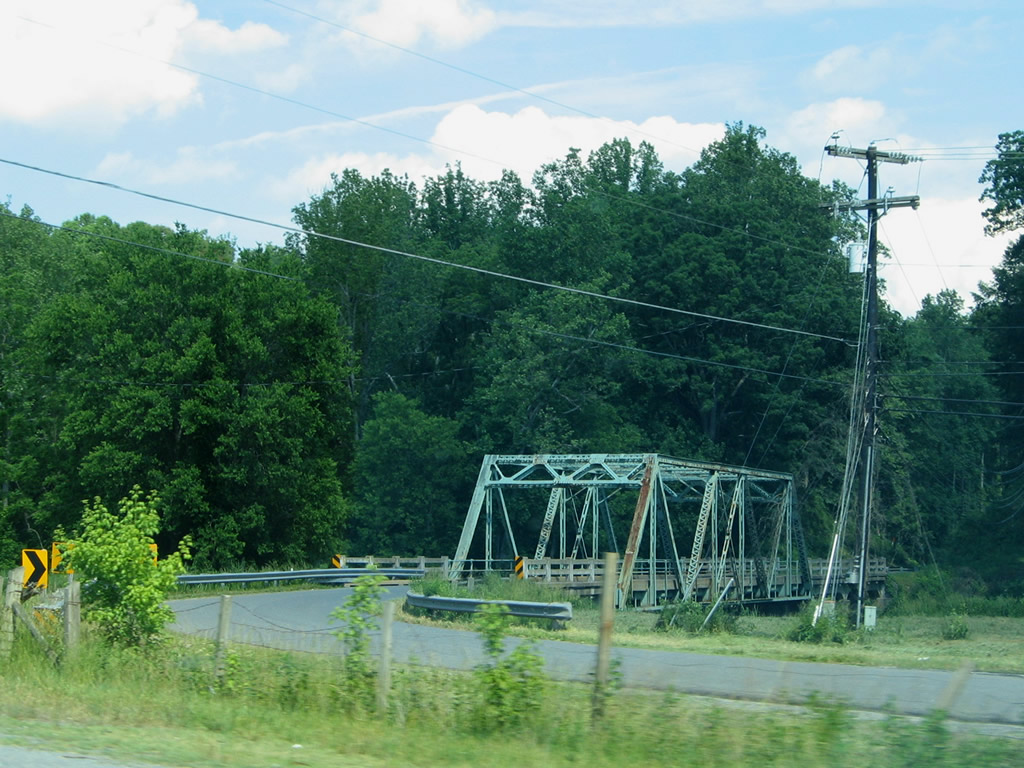
Two views of SR 712 (Riverbend Road)'s truss bridge over the Otter River. SR 712 represents the original alignment of U.S. 29 east from Altavista.
05/30/05
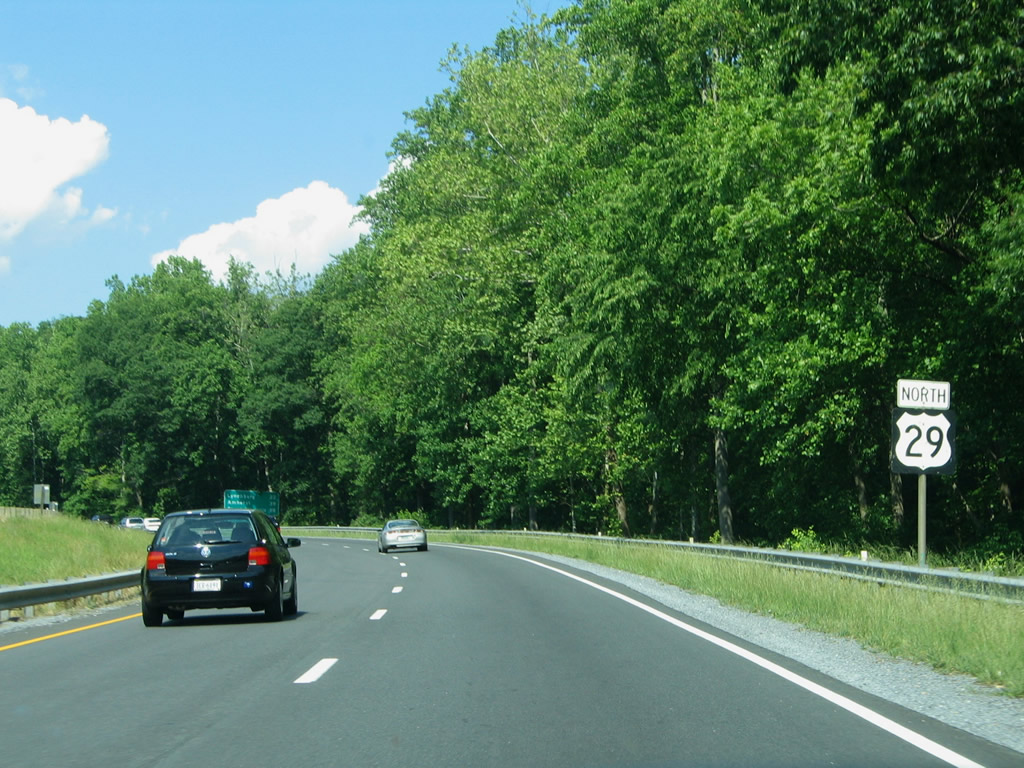
More or less an expressway at this point, U.S. 29 bends northeast to SR 699 (Gladys Road).
05/30/05
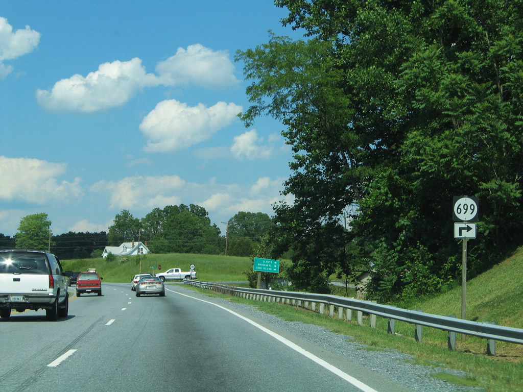
SR 669 (Gladys Road) arcs eastward from U.S. 29 and parallel SR 712 (Riverbend Road) toward Hodges and SR 761 west of Gladys. Connections with SR 761 south lead drivers to Long Island and east to U.S. 501 south to Brookneal.
05/30/05

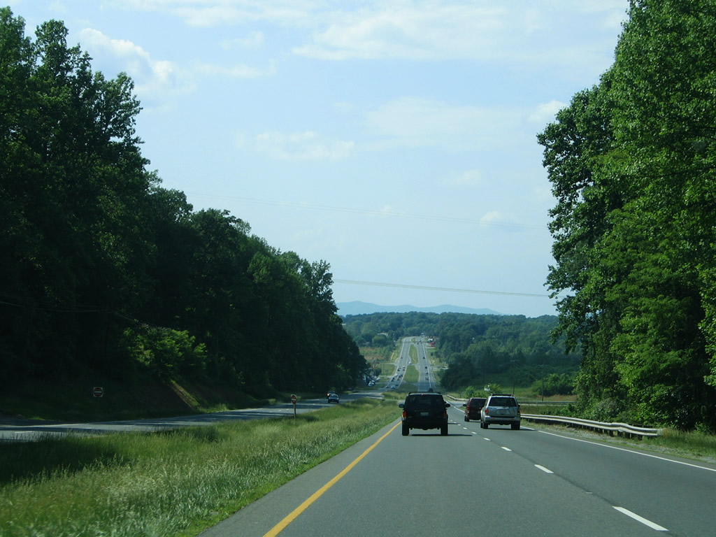
A hilly and rural drive continues the landscape northward along U.S. 29 (Wards Road) to Yellow Branch and SR 24 (Colonial Highway).
05/30/05
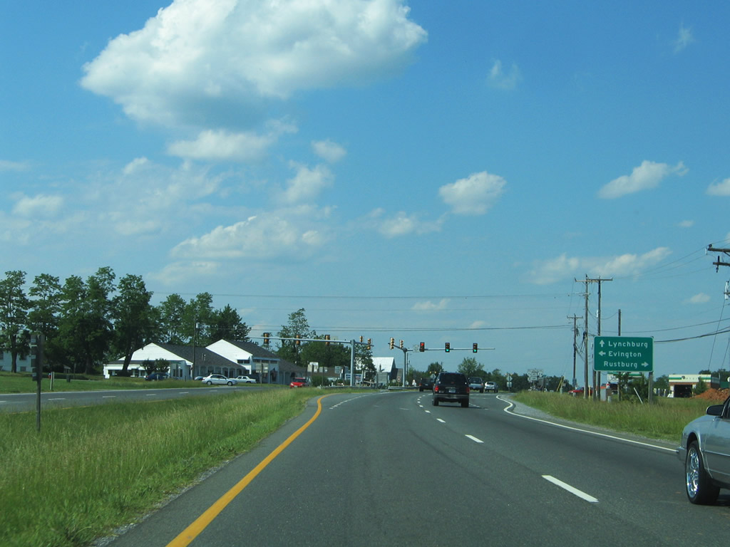
SR 24 constitutes a 90 mile route between SR 116 in Roanoke and U.S. 60 at Mt. Rush. The state route joins U.S. 29 with the county seat of Rustburg five miles to the east.
05/30/05
U.S. 29 (Wards Road) north intersects SR 24 (Colonial Highway) at Yellow Branch. SR 24 travels six miles west to Evington.
Historically SR 24 and U.S. 29 briefly combined between this intersection to Ansley Road (SR 754). The state route was relocated from Greenhouse Road (SR 738) to meet Colonial Highway west directly.
05/30/05
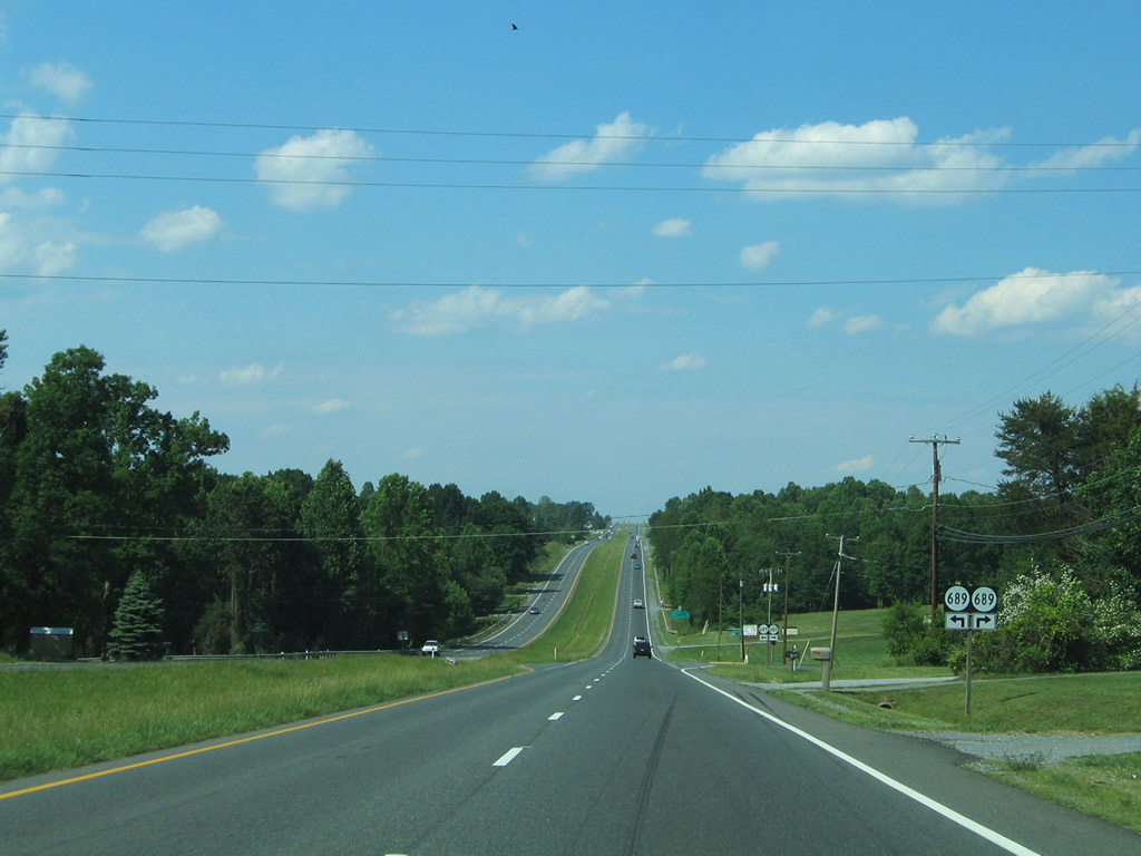
SR 689 (Amy Road) angles northwest from SR 754 (Ansley Road) to cross U.S. 29 as Moorman Mill Road. Moorman Mill Road travels a short distance to Taylor Lake and SR 690.
05/30/05
Northbound U.S. 29 shield and companion distance sign posted by the junction with SR 24 (Colonial Highway).
05/30/05
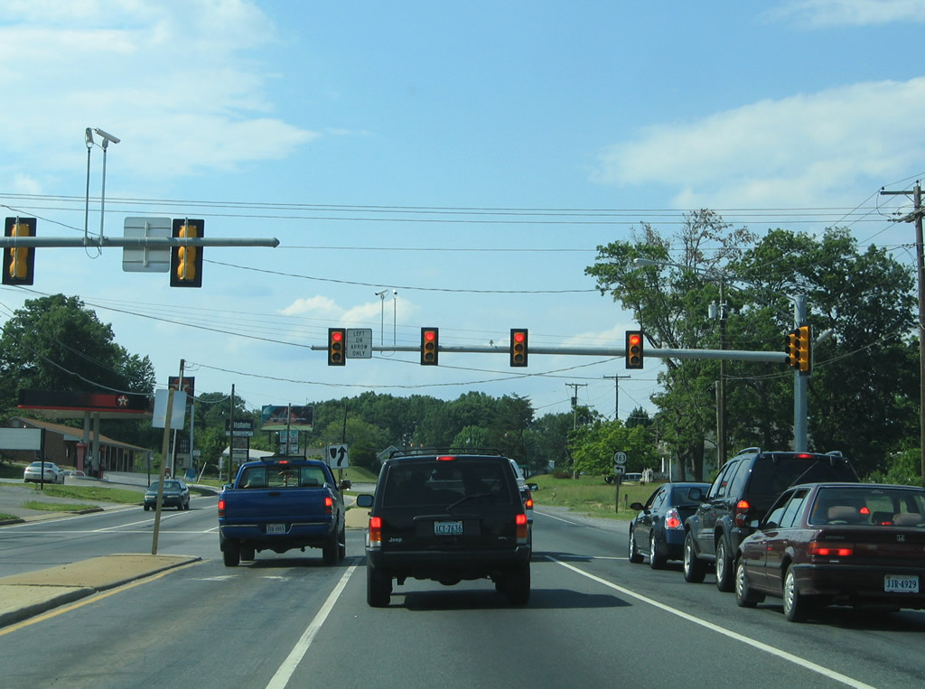
SR 685 (Calohan Road) provides a direct route to SR 24 (Colonial HIghway) east of Yellow Branch, as well as a route to U.S. 501 via SR 686.
05/30/05
Continuing northwest from the traffic light with Calohan Road toward the city of Lynchburg on U.S. 29 (Wards Road) north.
05/30/05
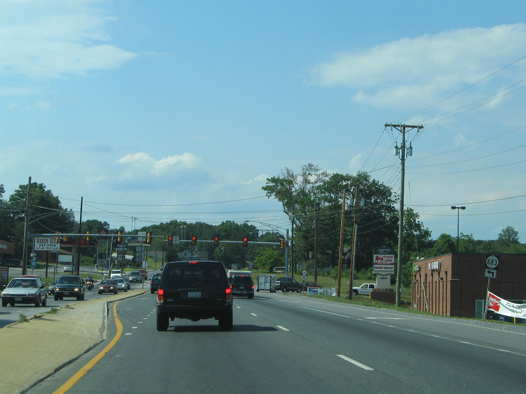
SR 683 (Lawyers Road) ends at U.S. 29 (Wards Road) near City Farm and Lynchburg Regional Airport. Lawyers Road heads southwest to Lawyers and Evington.
05/30/05
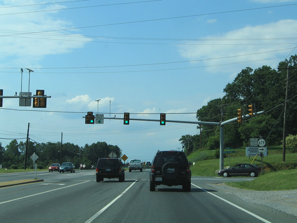
Russell Woods Drive (SR 679) spurs east from U.S. 29 (Wards Road) at City Farm to a handful of residential streets.
05/30/05
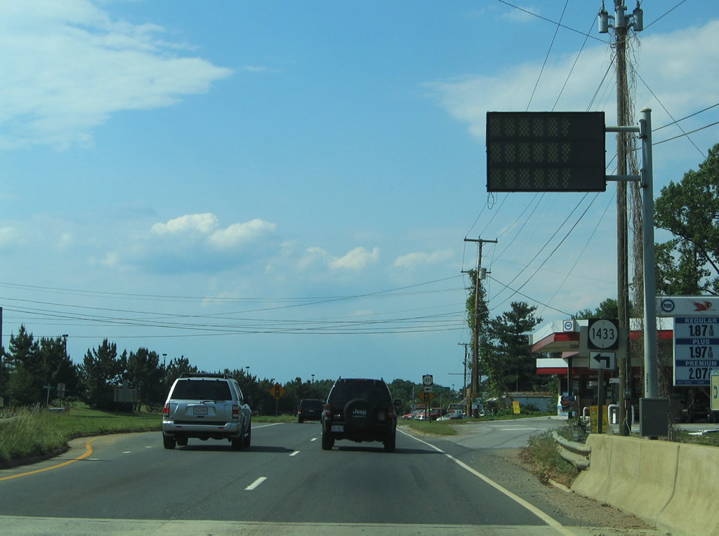
U.S. 29 passes over a Norfolk Southern Railroad line ahead of the SR 1433 (Rangoon Street). Rangoon Street does not provide a connection to the adjacent airport.
05/30/05
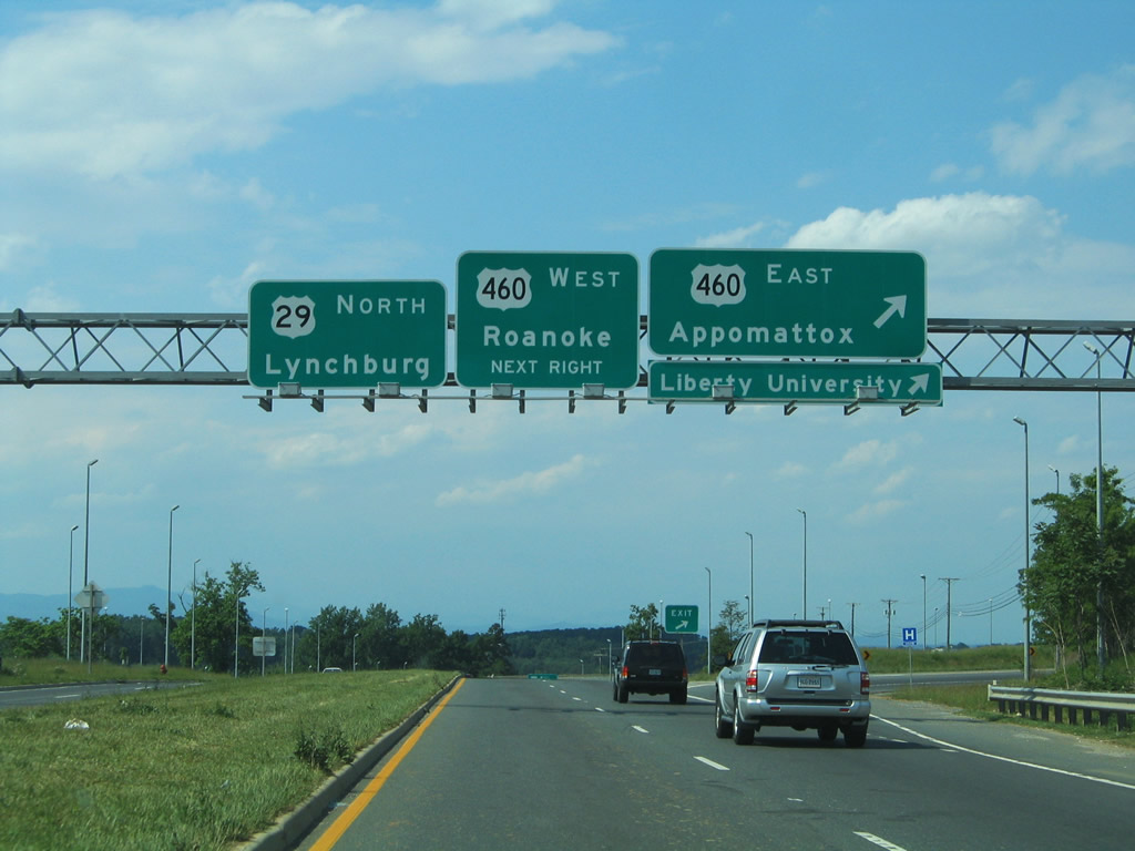
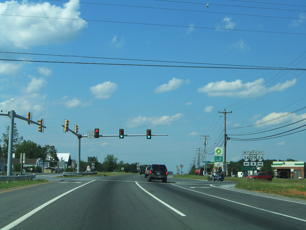
Motorists enter a cloverleaf interchange with U.S. 460 (Lynchburg Highway) immediately north of the Lynchburg Regional Airport access road. U.S. 29 north joins U.S. 460 east for 6.07 miles along a shared freeway. U.S. 29 Business begins and continues Wards Road north to Vista Acres and the city limits of Lynchburg.
These signs reflect the original alignment of U.S. 29 north along Wards Road to the Lynchburg Expressway. U.S. 29 shifted from the Lynchburg Expressway to a new alignment, the Lynchburg -Madison Heights Bypass in October 2005.
05/30/05
North  East
East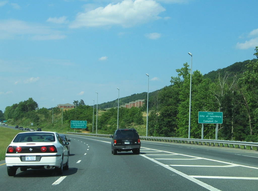
U.S. 29/460 combine north into the city limits of Lynchburg. Straddling Candlers Mountain, the freeway was originally designated SR 224.
05/30/05
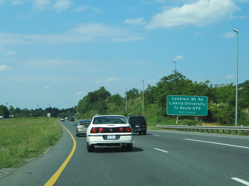
A loop ramp joins U.S. 29/460 with Candlers Mountain Road in one mile. South out of Lynchburg, Candlers Mountain Road (SR 670) connects with University Boulevard to adjacent Liberty University.
05/30/05
This distance sign referenced U.S. 460 control cities as it predated the realignment of U.S. 29 onto the freeway.
05/30/05
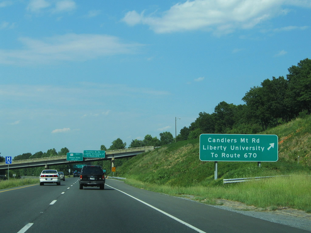
Candlers Mountain Road (SR 670) circumvents Candlers Mountain eastward from U.S. 29/460 (Liberty Mountain Drive) to SR 677 (Sunnymeade Road).
05/30/05
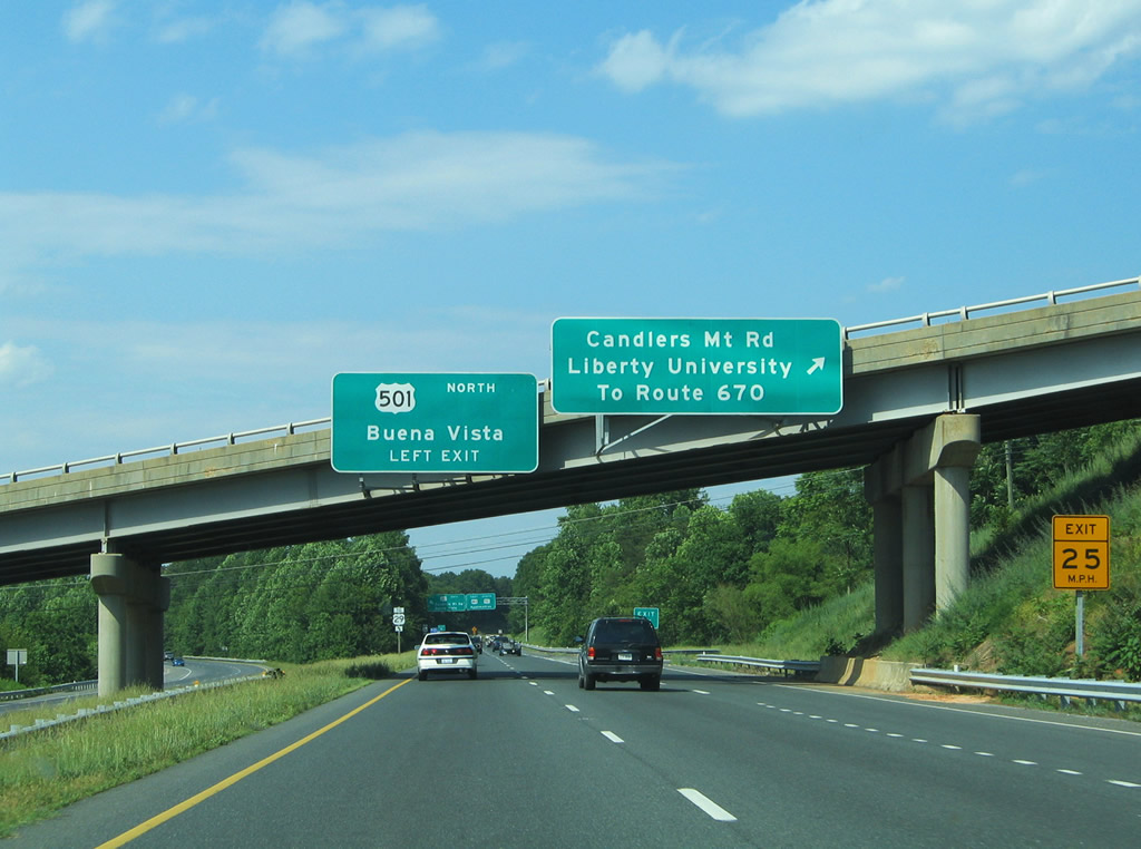
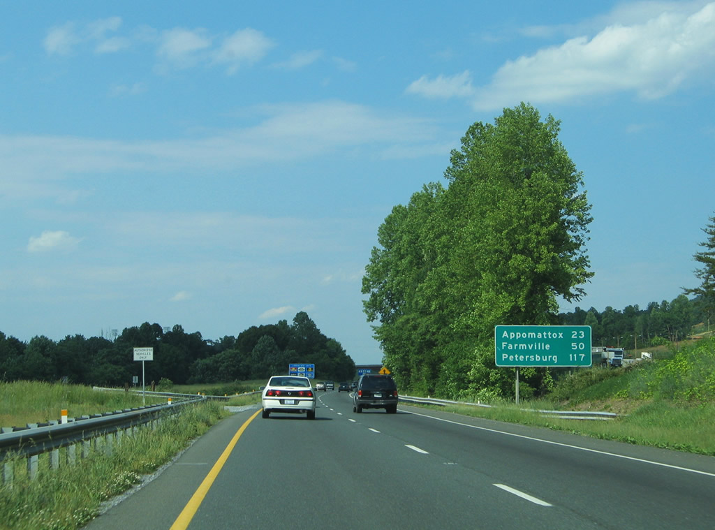
U.S. 501 links U.S. 29/460 with the Lynchburg Expressway. The arterial route serves River Ridge Mall and a number of big box hotels and other businesses along Candlers Mountain Road.
05/30/05
Joining Downtown Lynchburg with Madison Heights, U.S. 501 provides a direct connection to U.S. 29 Business (Lynchburg Expressway).
05/30/05
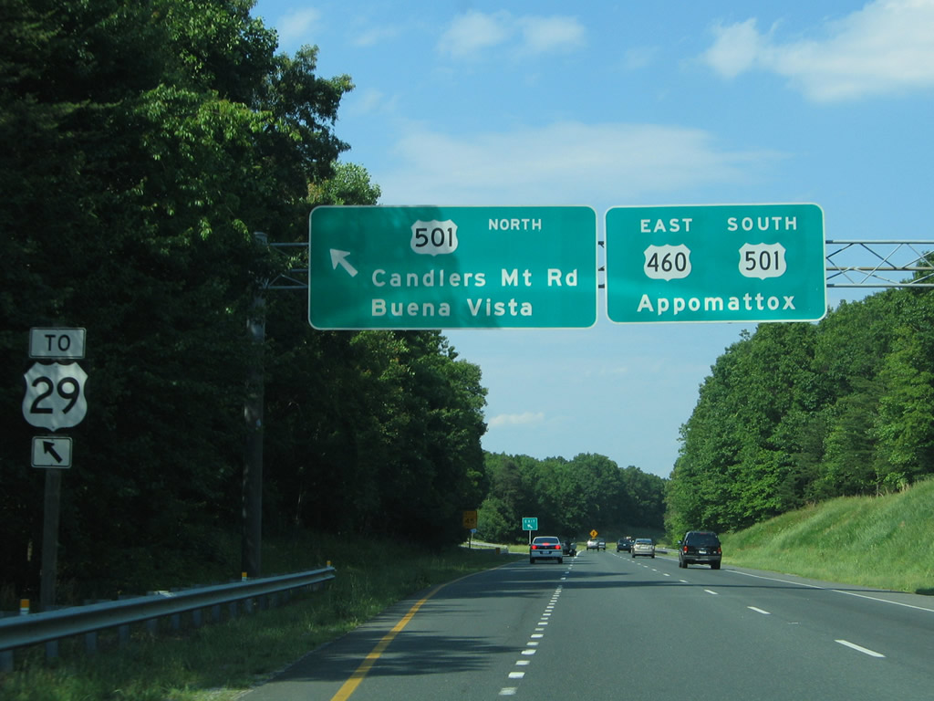
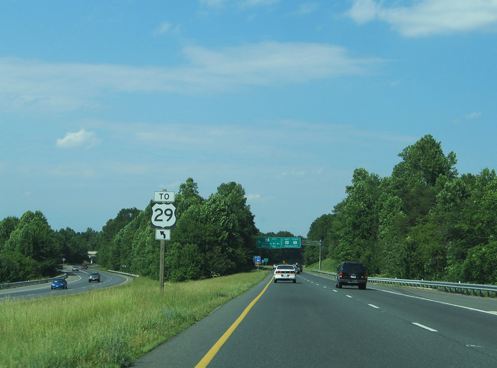
U.S. 501 stems north from U.S. 29/460 to Candlers Mountain Road and the Lynchburg Expressway from a directional T interchange. U.S. 501 follows the expressway westward toward Boonsboro. The route travels 111.5 miles within Virginia between U.S. 60 at Buena Vista and the North Carolina state line near Cluster Springs.
05/30/05

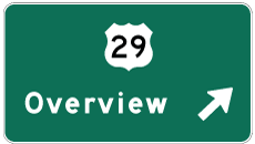
Photo Credits:
- Alex Nitzman: 05/30/05
Connect with:
Page Updated Tuesday March 09, 2010.