
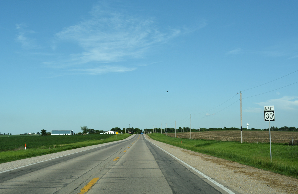
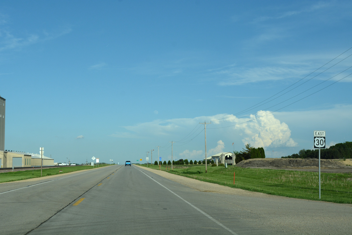
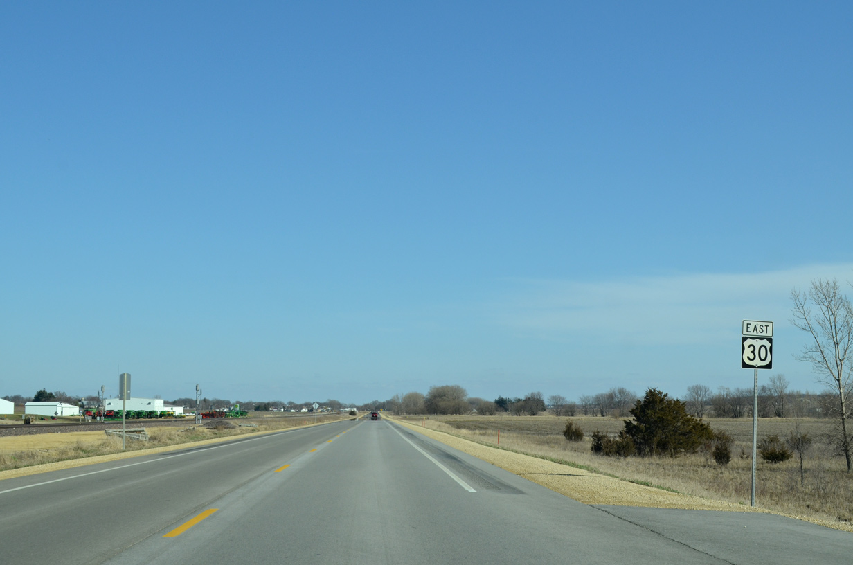
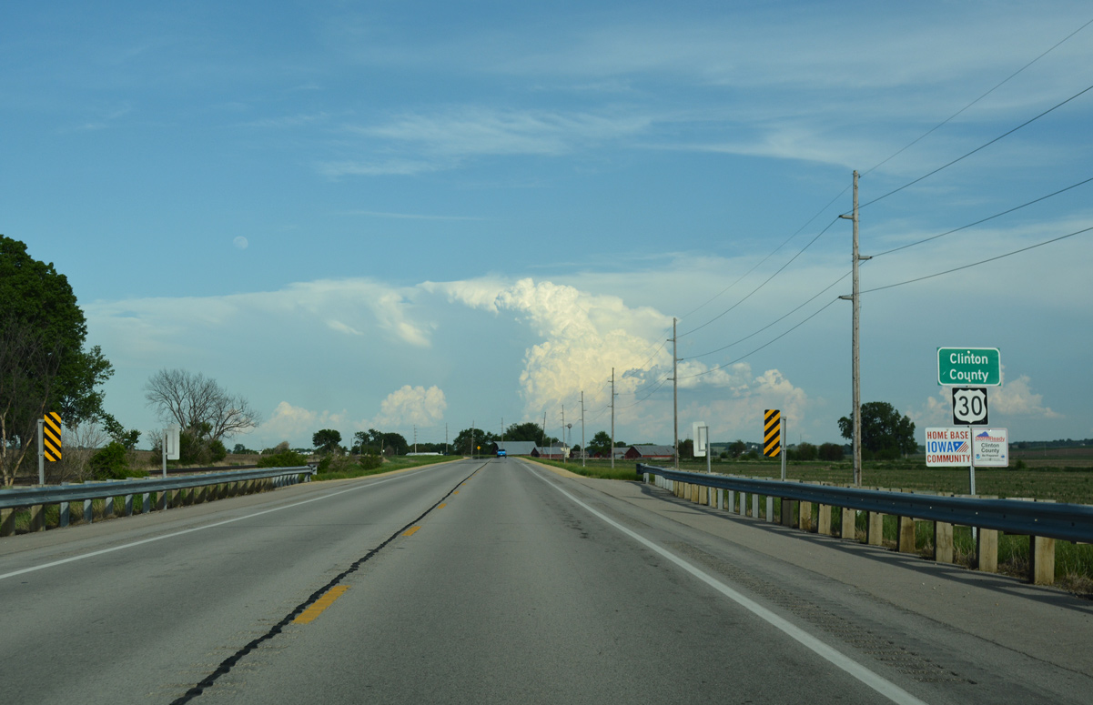
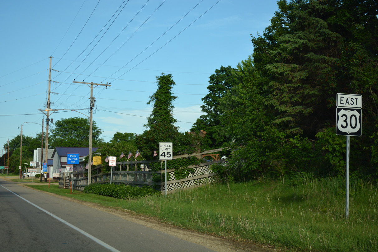
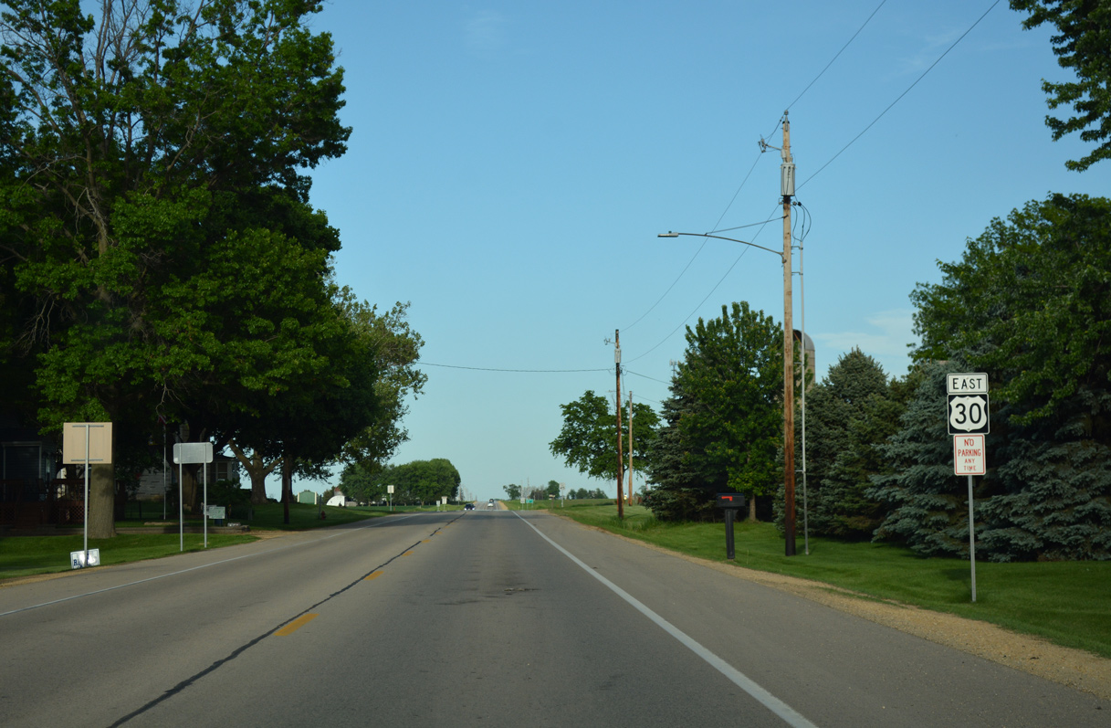
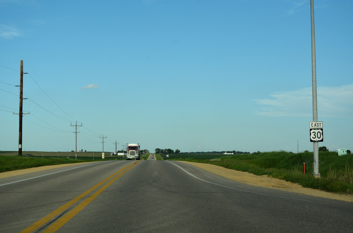
U.S. 30 East - Clarence to De Witt
 East
East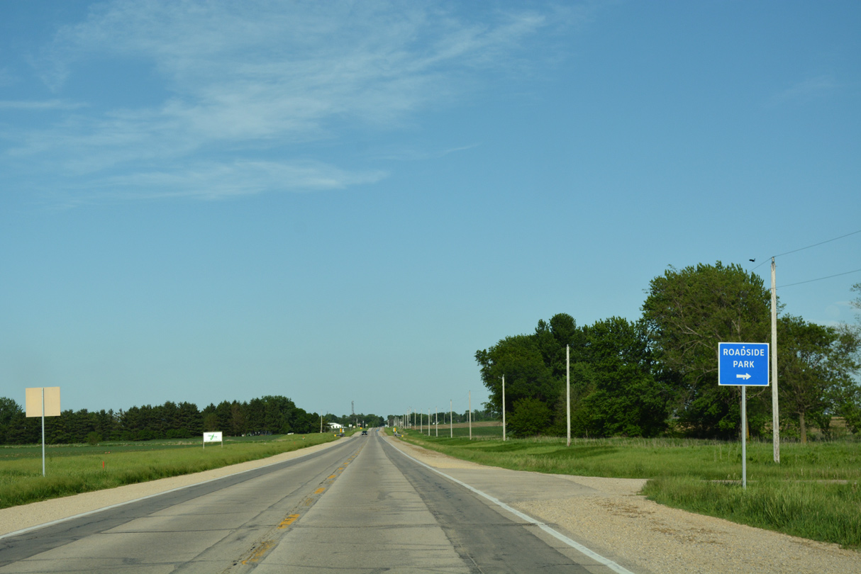
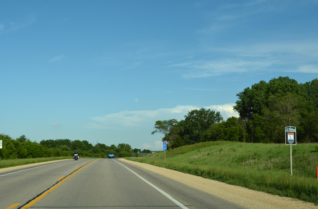
A roadside park lines the south side of U.S. 30 adjacent to Mill Creek.
05/26/18
05/26/18
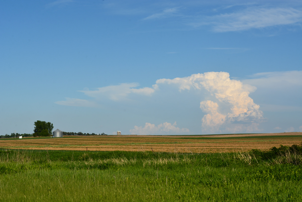
Southeasterly view from the Cedar County Roadside Park.
05/26/18
05/26/18
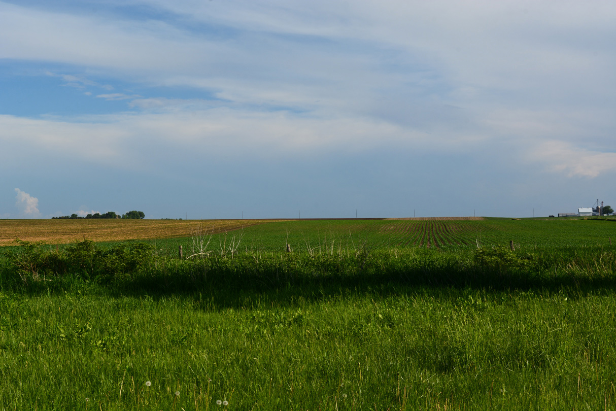
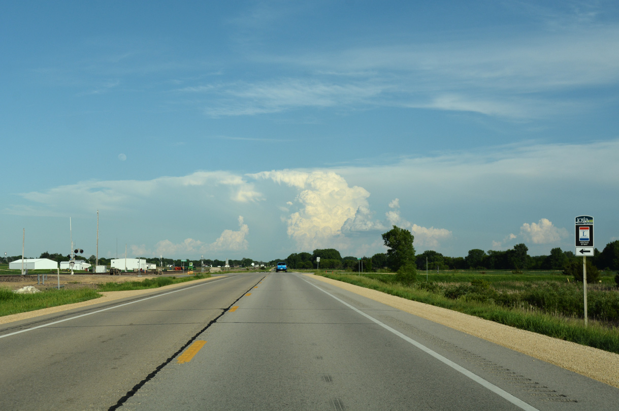
Farmland spreads to the southern horizon beyond Mill Creek and the roadside park.
05/26/18
05/26/18

05/26/18
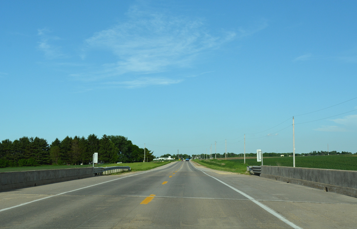
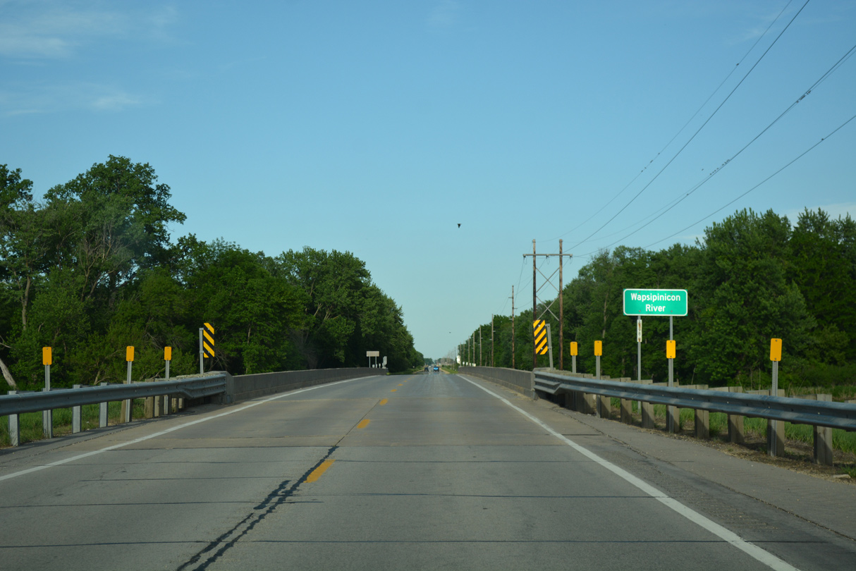
U.S. 30 spans Mill Creek for the second time ahead of CR X60 (Ocean Avenue).
05/26/18
05/26/18
03/25/16
05/26/18
05/26/18
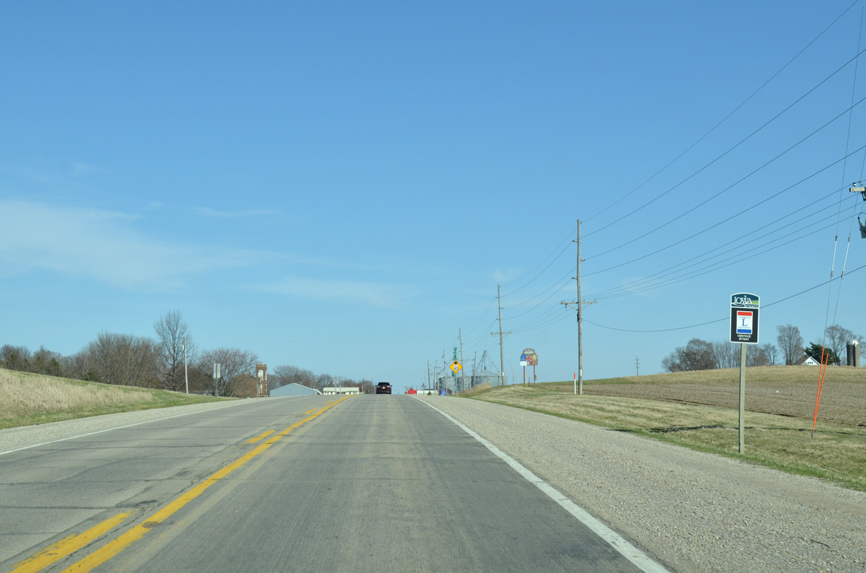
U.S. 30 passes by Clarence Community Park ahead of 1st Avenue and this shield assembly.
05/26/18
05/26/18
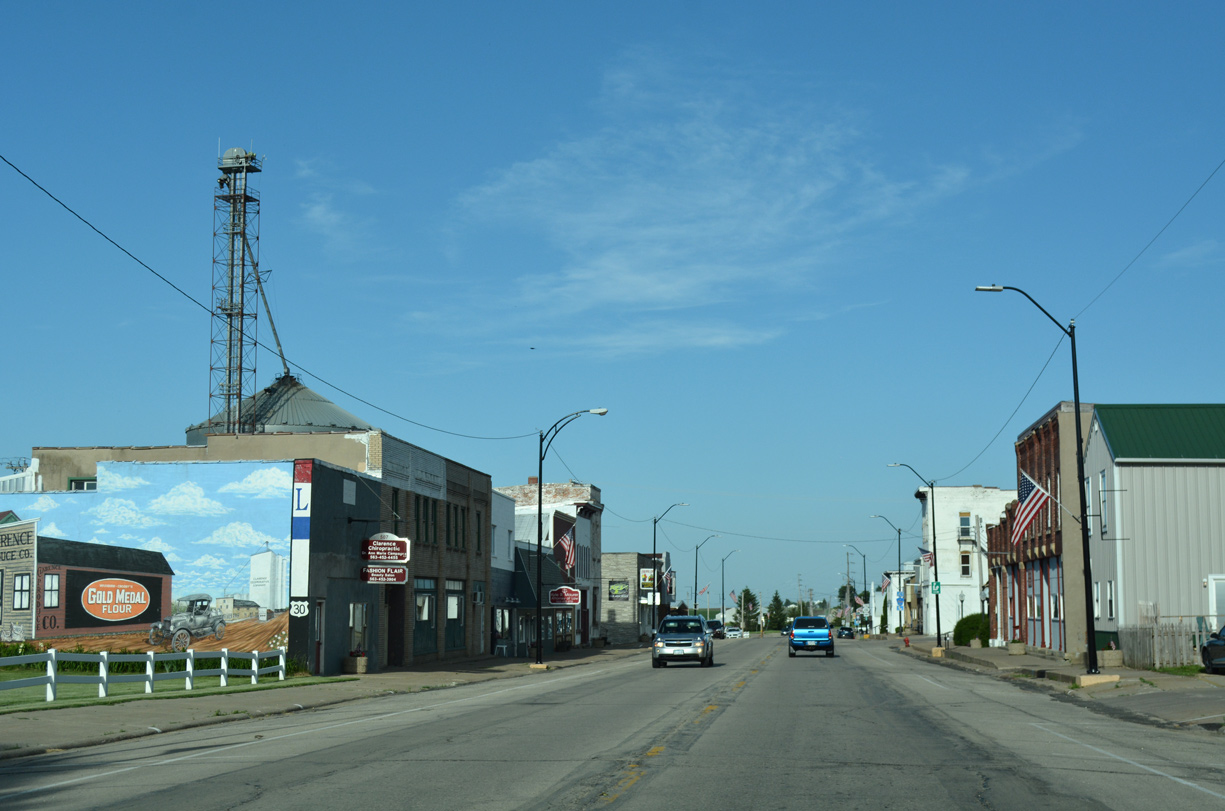
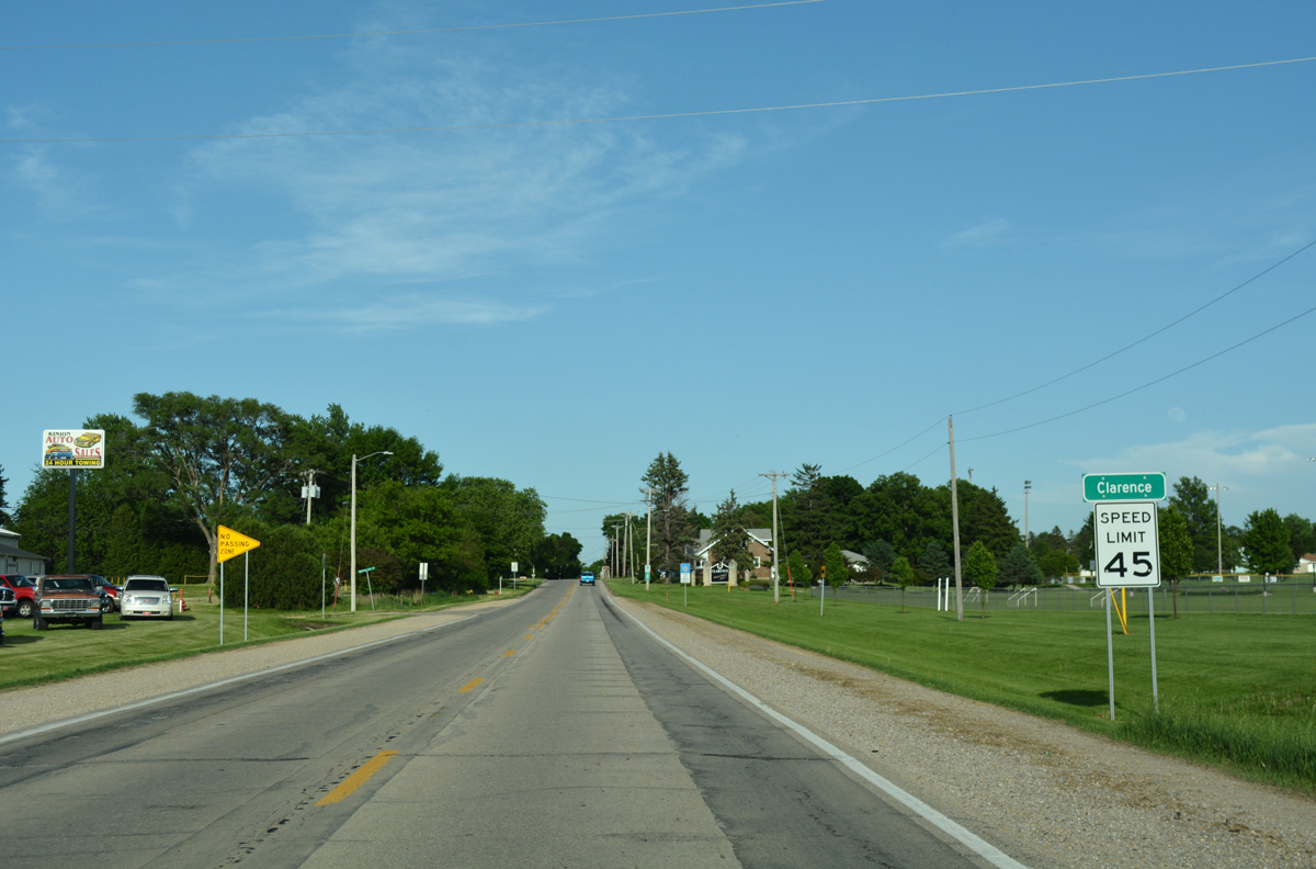
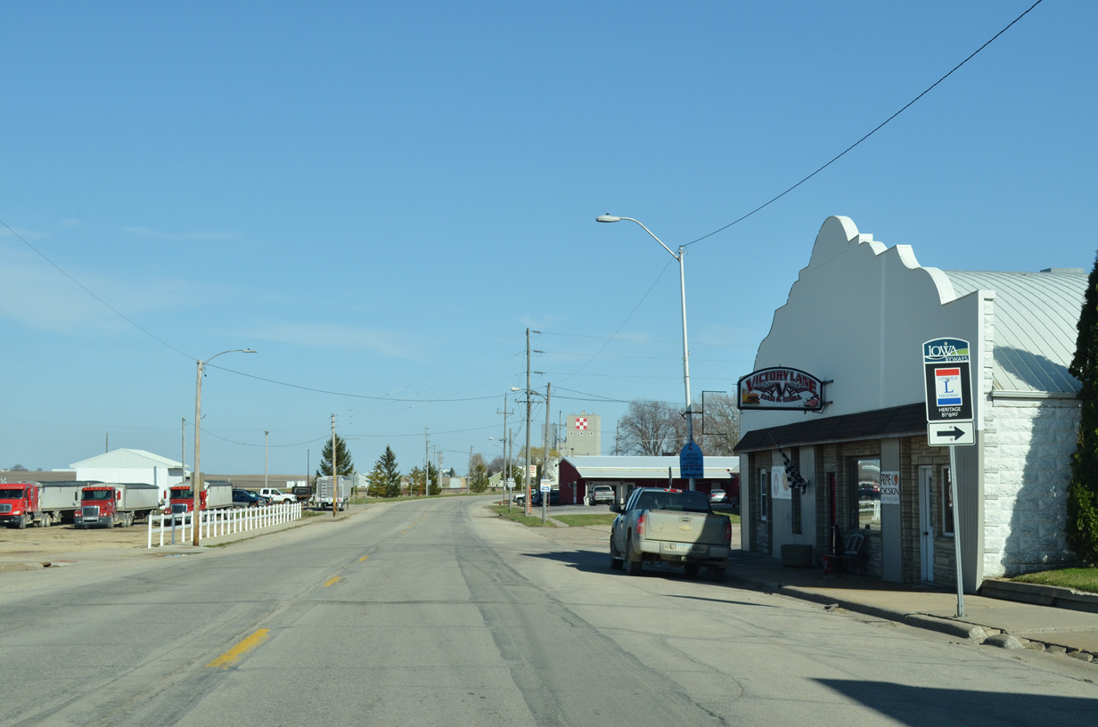
Entering Downtown Clarence along U.S. 30 (Lombard Street) at 5th Avenue.
05/26/18
05/26/18
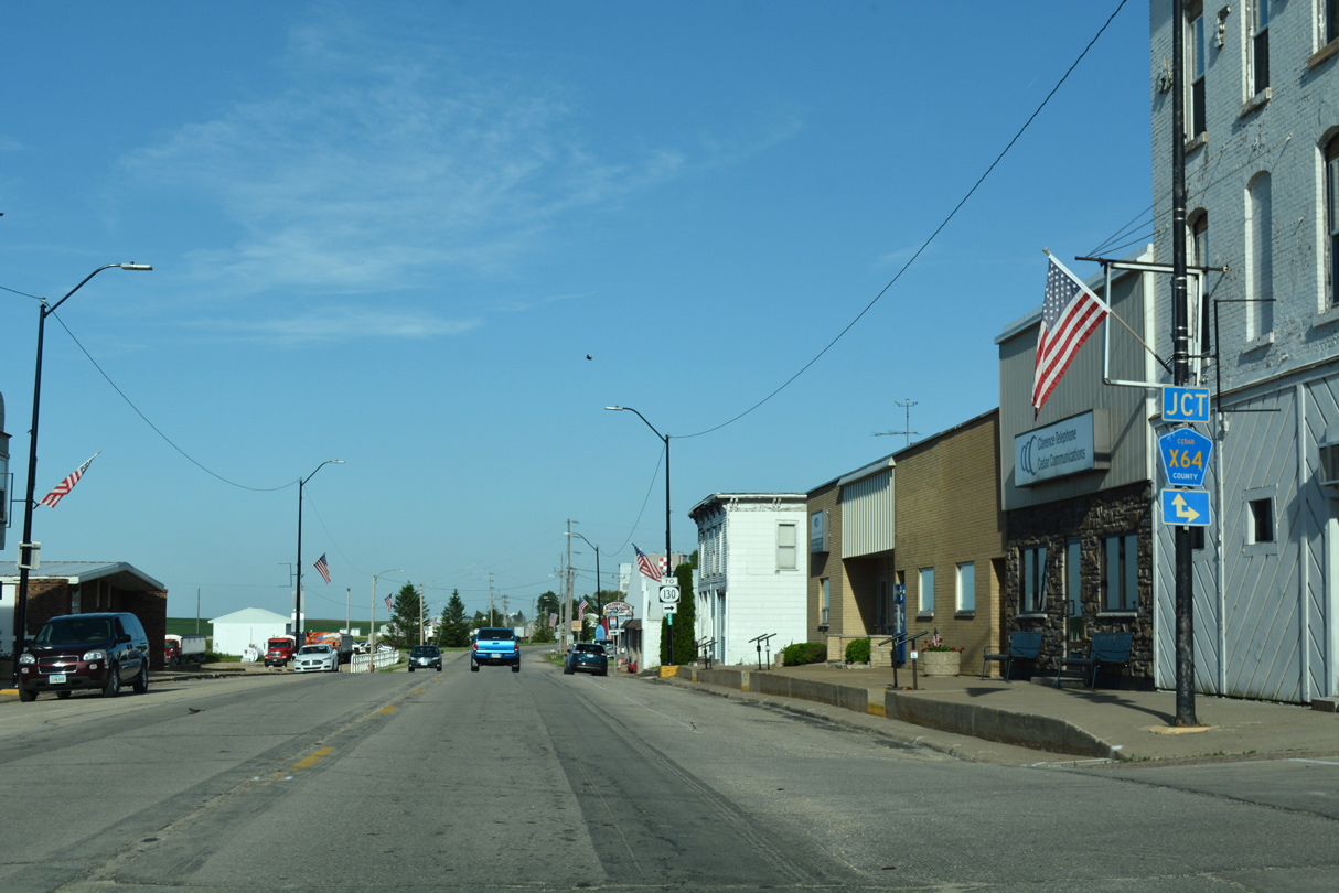
County Road X64 stems south from U.S. 30 (Lombard Street) along 7th Avenue to Quincy Avenue.
05/26/18
05/26/18
CR X64 (Quincy Avenue) links U.S. 30 with Iowa 130, eight miles to the south.
05/26/18
05/26/18
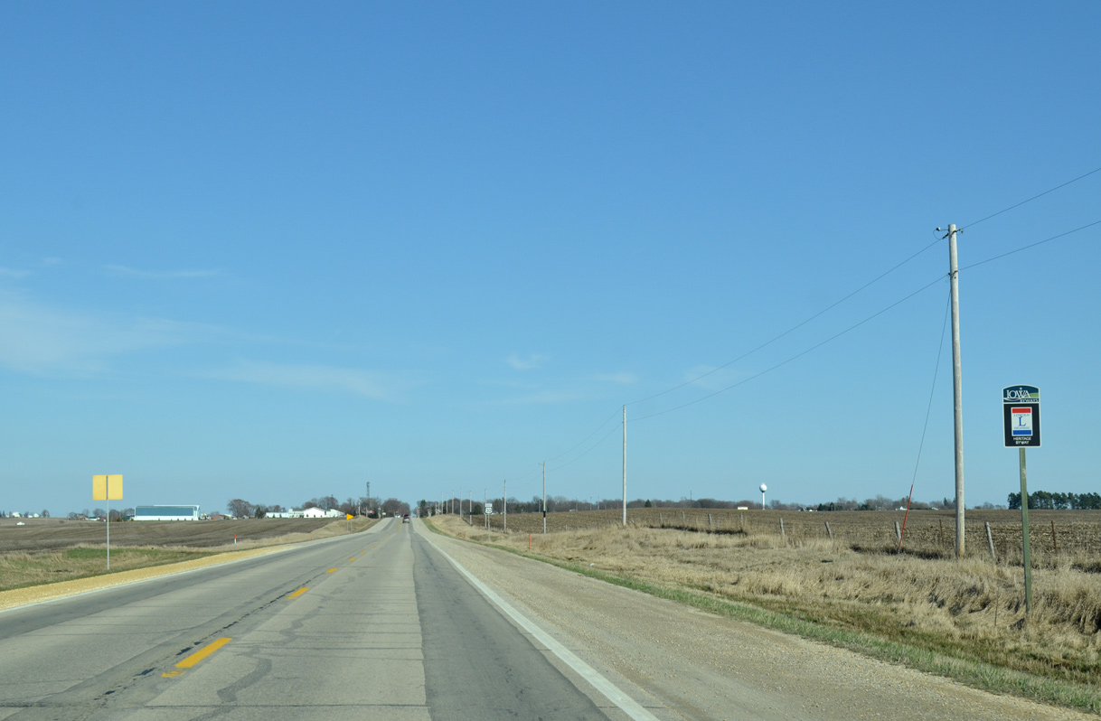
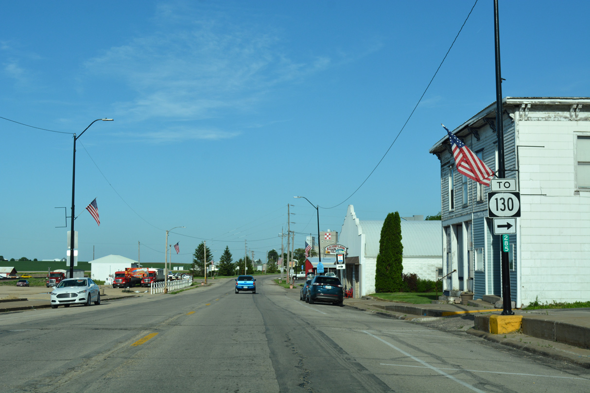
The Lincoln Highway Heritage Byway follows 7th Avenue south from U.S. 30 in Clarence.
03/25/16
03/25/16
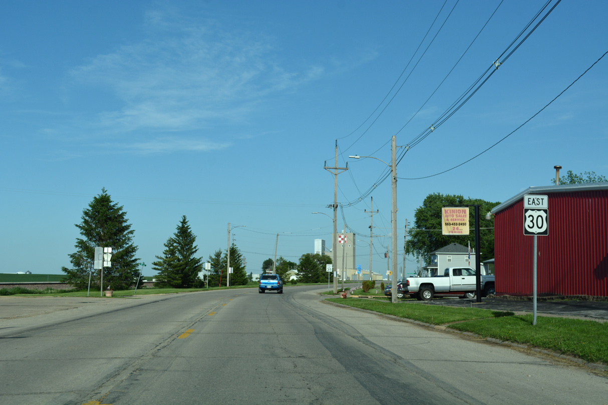
The Union Pacific Railroad converges with U.S. 30 again at 8th Avenue in Clarence.
05/26/18
05/26/18
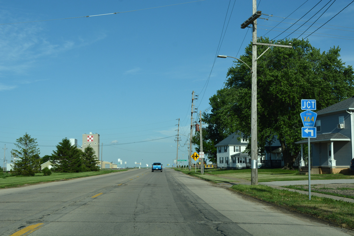
The northern branch of CR X64 takes Oxford Junction Road to Oxford Mills.
05/26/18
05/26/18
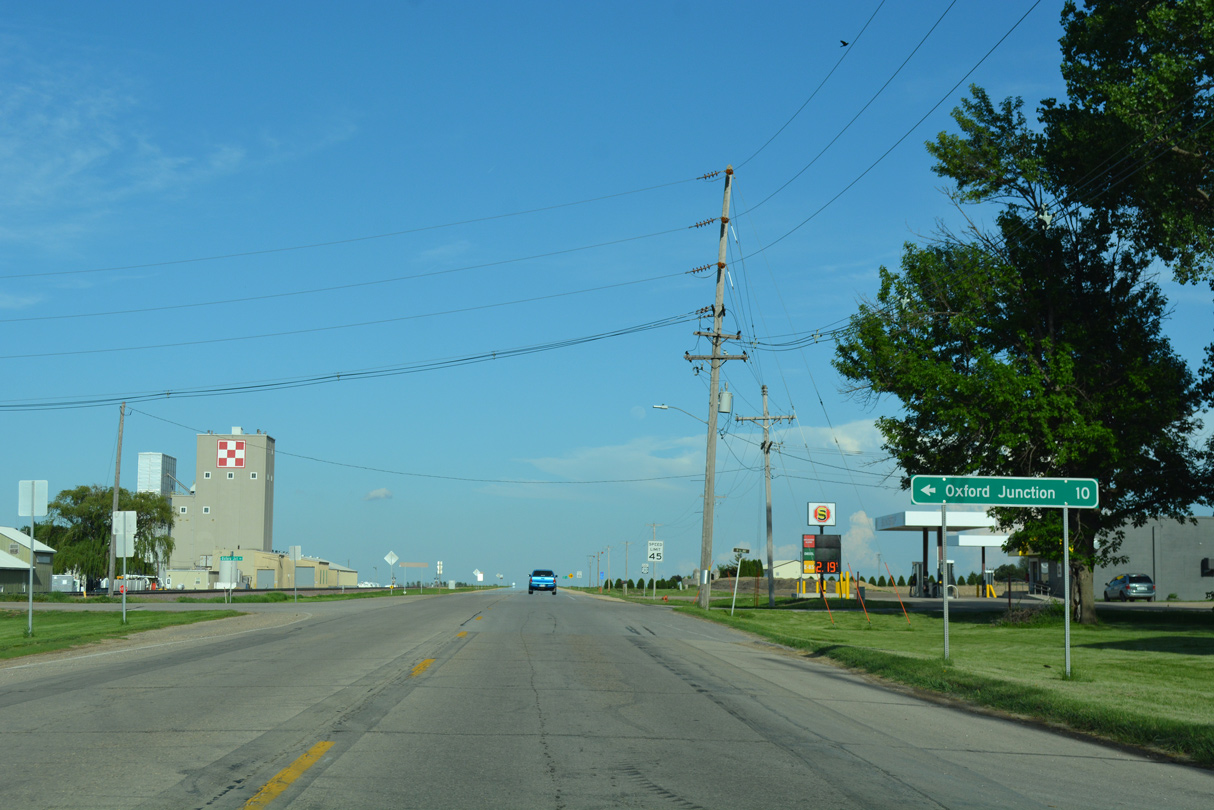
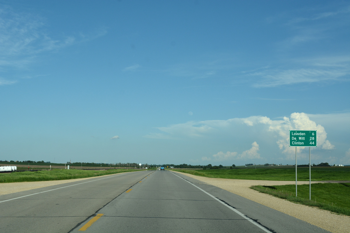
Oxford Junction lies 10.5 miles northeast at the junction of CR X64 and Iowa 136.
05/26/18
05/26/18
05/26/18
05/26/18
05/26/18
U.S. 30 parallels Yankee Run and the UP Railroad east to Taylor Avenue.
05/26/18
05/26/18
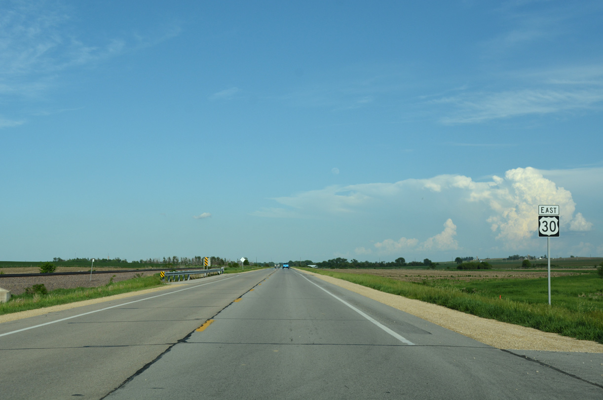
The Lincoln Highway Heritage Byway returns to U.S. 30 east from 150th Street in Massillon township.
05/26/18
05/26/18
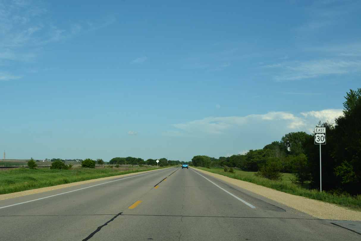
Progressing toward Lowden, Old Lincoln Highway separates from U.S. 30 again along the north side of the adjacent UP Railroad.
05/26/18
05/26/18
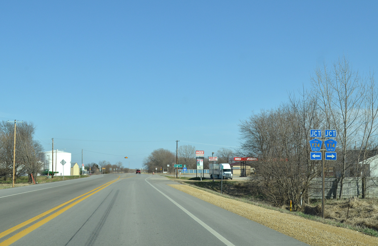
Vermont Avenue connects U.S. 30 with Old Lincoln Highway by this shield assembly.
03/25/16
03/25/16
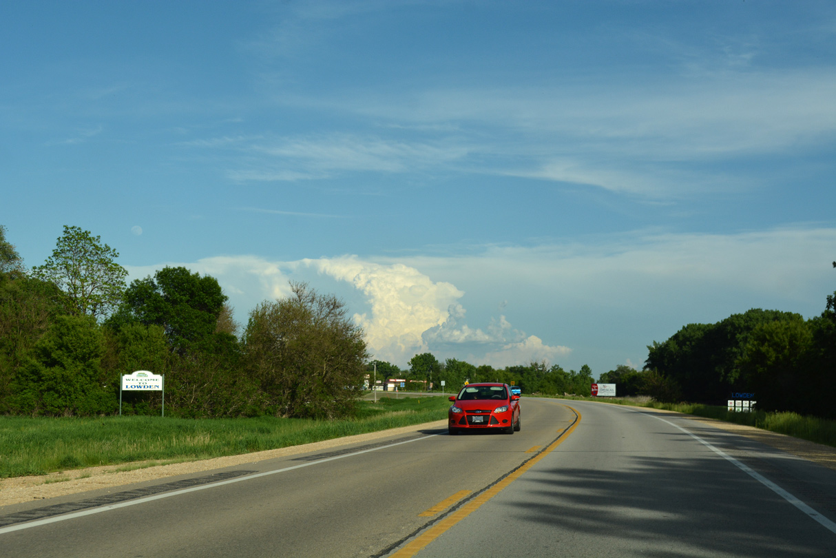
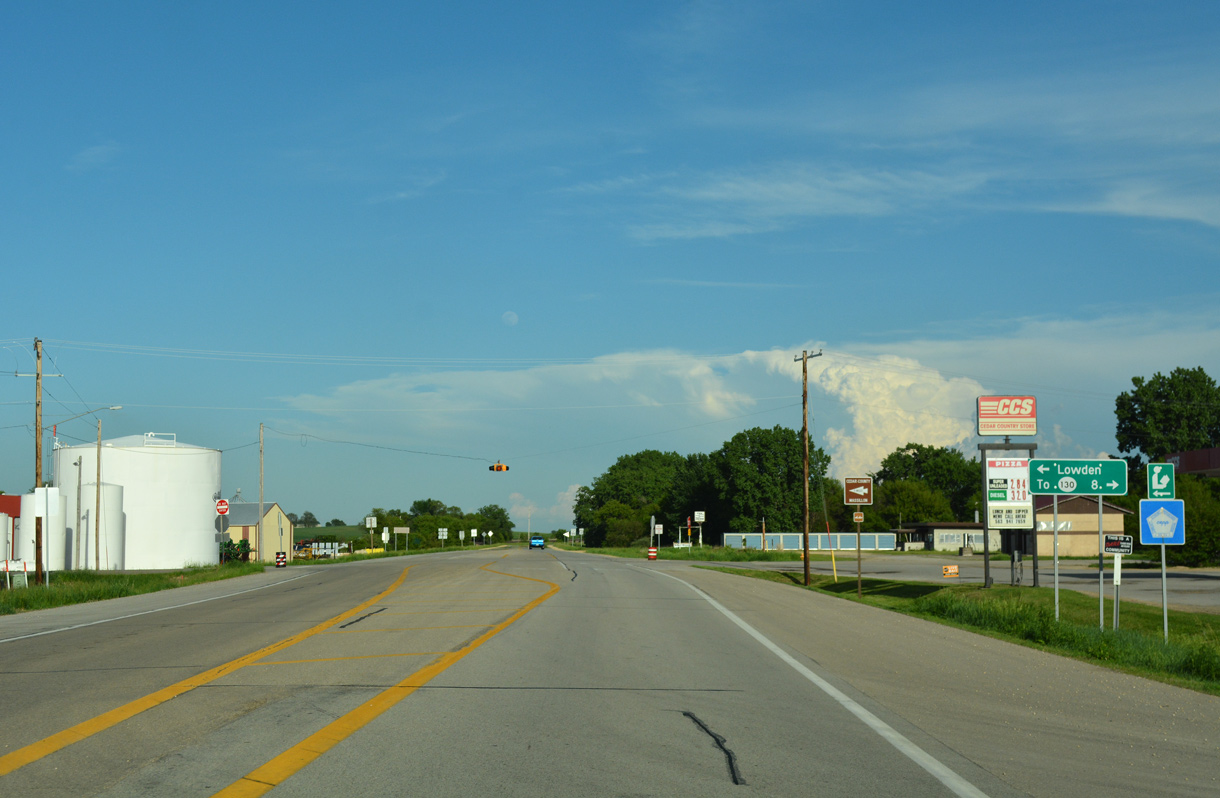
U.S. 30 enters the city of Lowden beyond 160th Street.
05/26/18
05/26/18
03/25/16
05/26/18
03/25/16
05/26/18
05/26/18
05/26/18
U.S. 30 reassurance marker posted at 122nd Avenue in Spring Rock township.
05/26/18
05/26/18
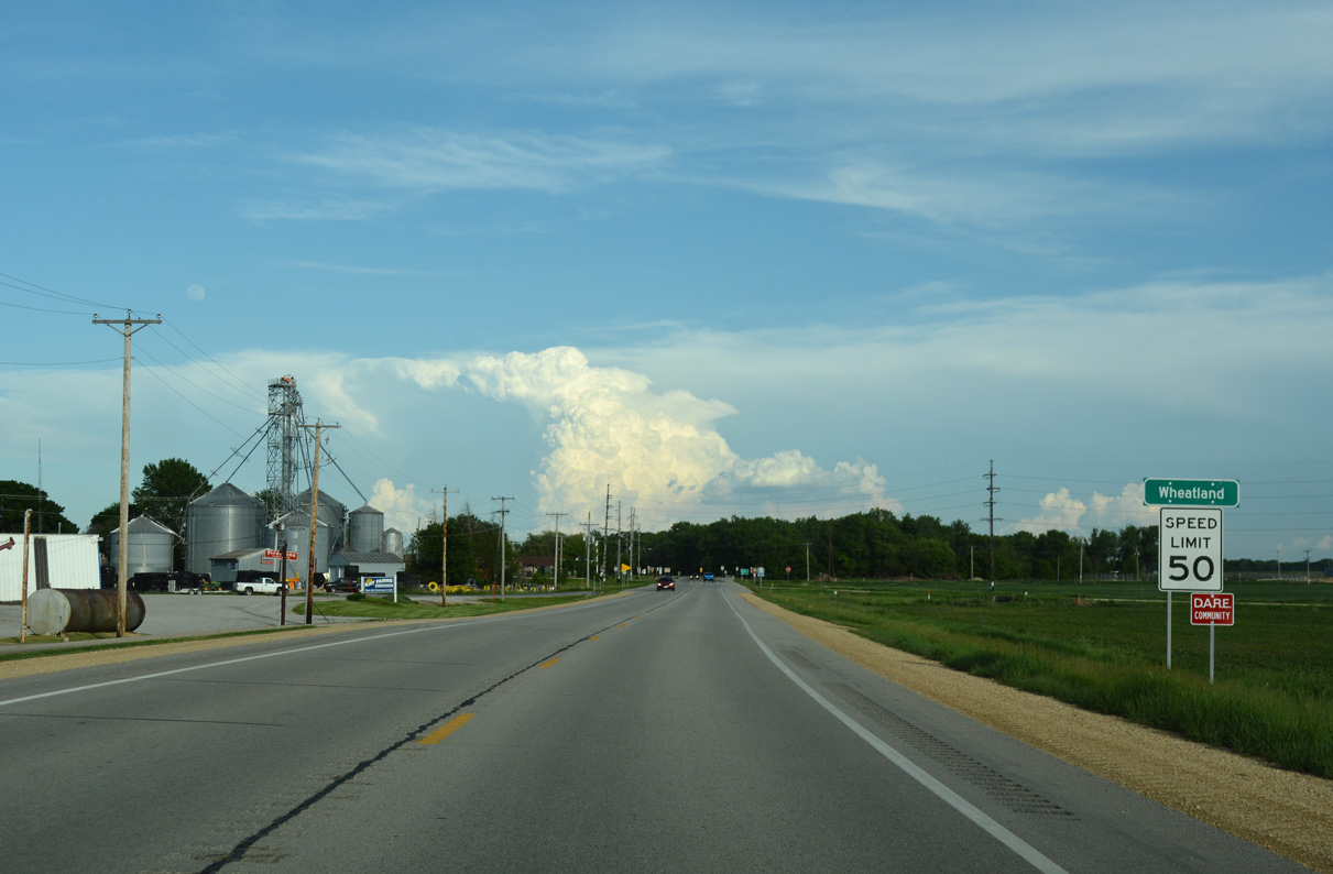
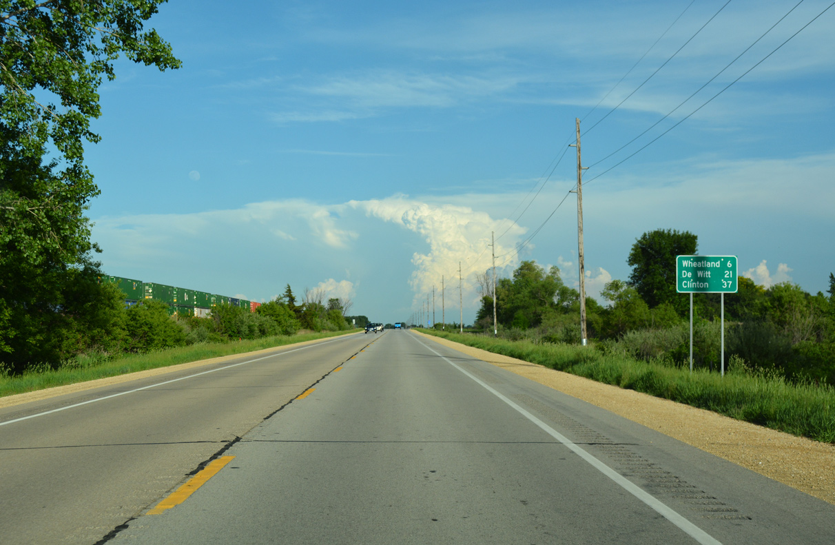
U.S. 30 bypasses Downtown Wheatland to the south at Williams Street.
05/26/18
05/26/18
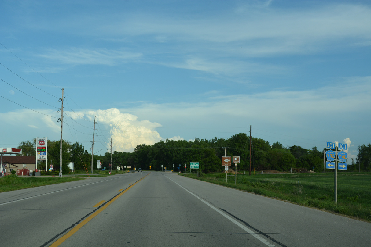
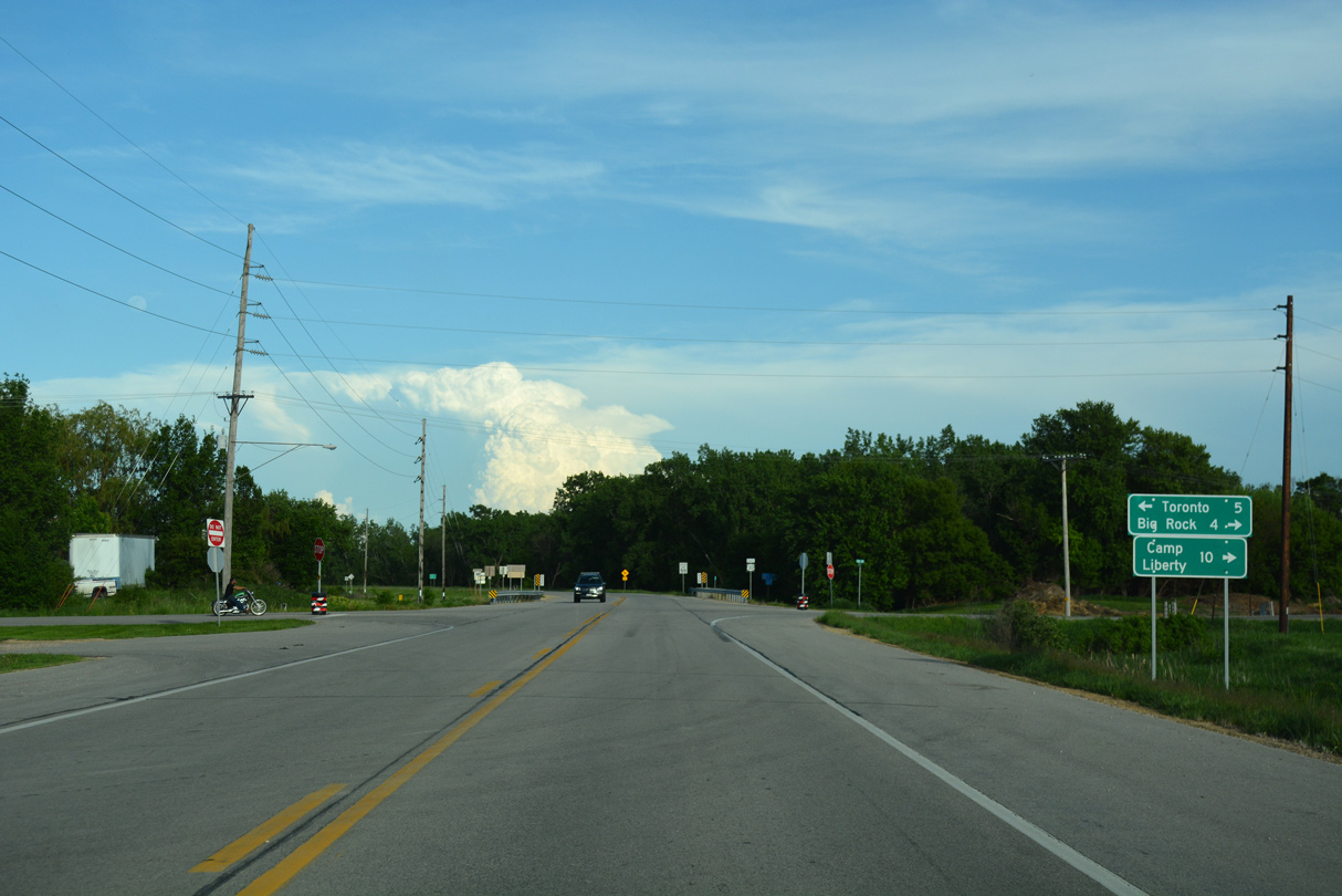
CR Y32 (Toronto Street) leads north into the Wheatland business district en route to Toronto. CR Y4E (130th Street) ventures south to Big Rock and Dixon in Scott County.
05/26/18
05/26/18
05/26/18
05/26/18
05/26/18
05/26/18

154th Avenue links U.S. 30 with the old Lincoln Highway alignment along 235th Street west back to Wheatland.
05/26/18
05/26/18
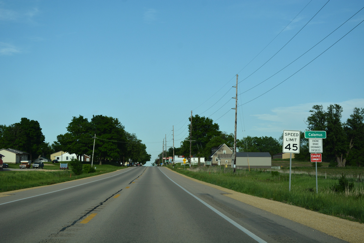
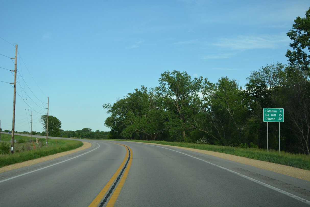
Entering the city of Calamus along U.S. 30 (Lincoln Highway) east.
05/26/18
05/26/18
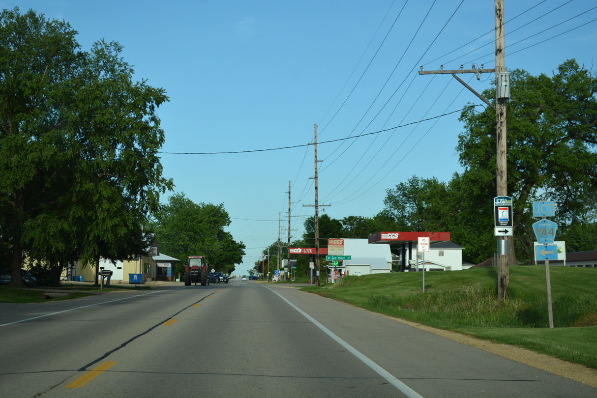
The northern branch of CR Y44 follows 170th Avenue out of Calamus. The southern branch lines 175th Avenue.
05/26/18
05/26/18
The city of Lost Nation is a 12 mile drive to the northwest via CR H44 and CR E55 (150th Street).
05/26/18
05/26/18
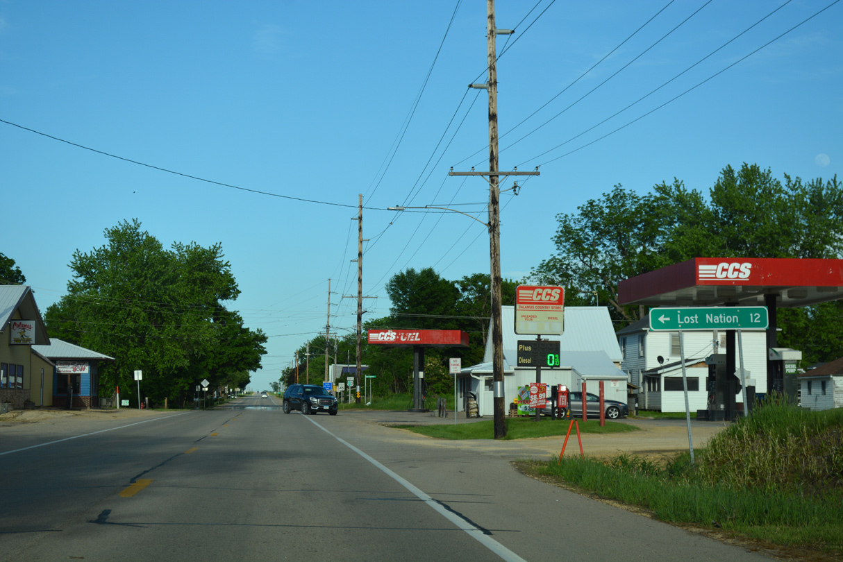
U.S. 30 proceeds east through Calamus to 1st and 2nd Streets.
05/26/18
05/26/18
05/26/18
05/26/18
05/26/18
05/26/18
05/26/18
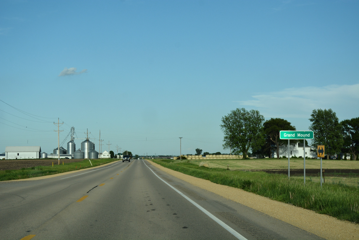
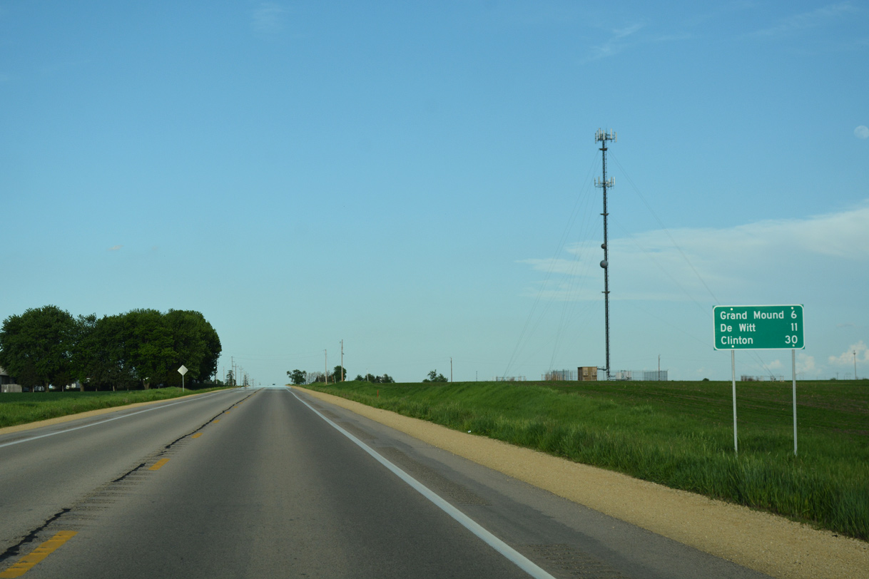
U.S. 30 passes through Grand Mount north of the residential street grid.
05/26/18
05/26/18
County Road Y54 travels south through Grand Mound along East Street.
05/26/18
05/26/18
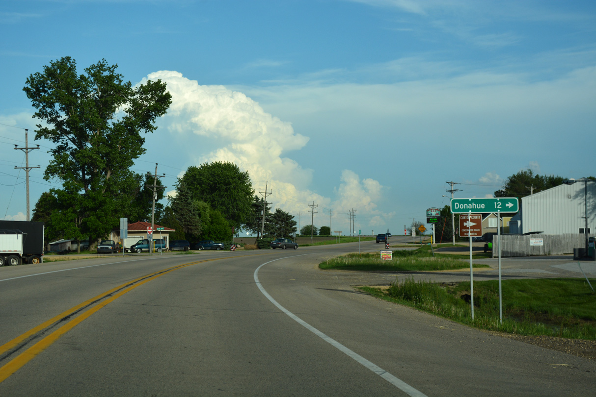
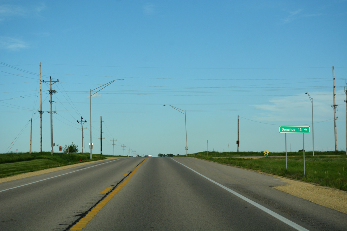
CR Y54 extends 12 miles south into Scott County to the city of Donahue.
05/26/18
05/26/18
Curving southward, U.S. 30 rejoins the Union Pacific Railroad on a parallel course to the Ground Mound Conservation Area.
05/26/18
05/26/18
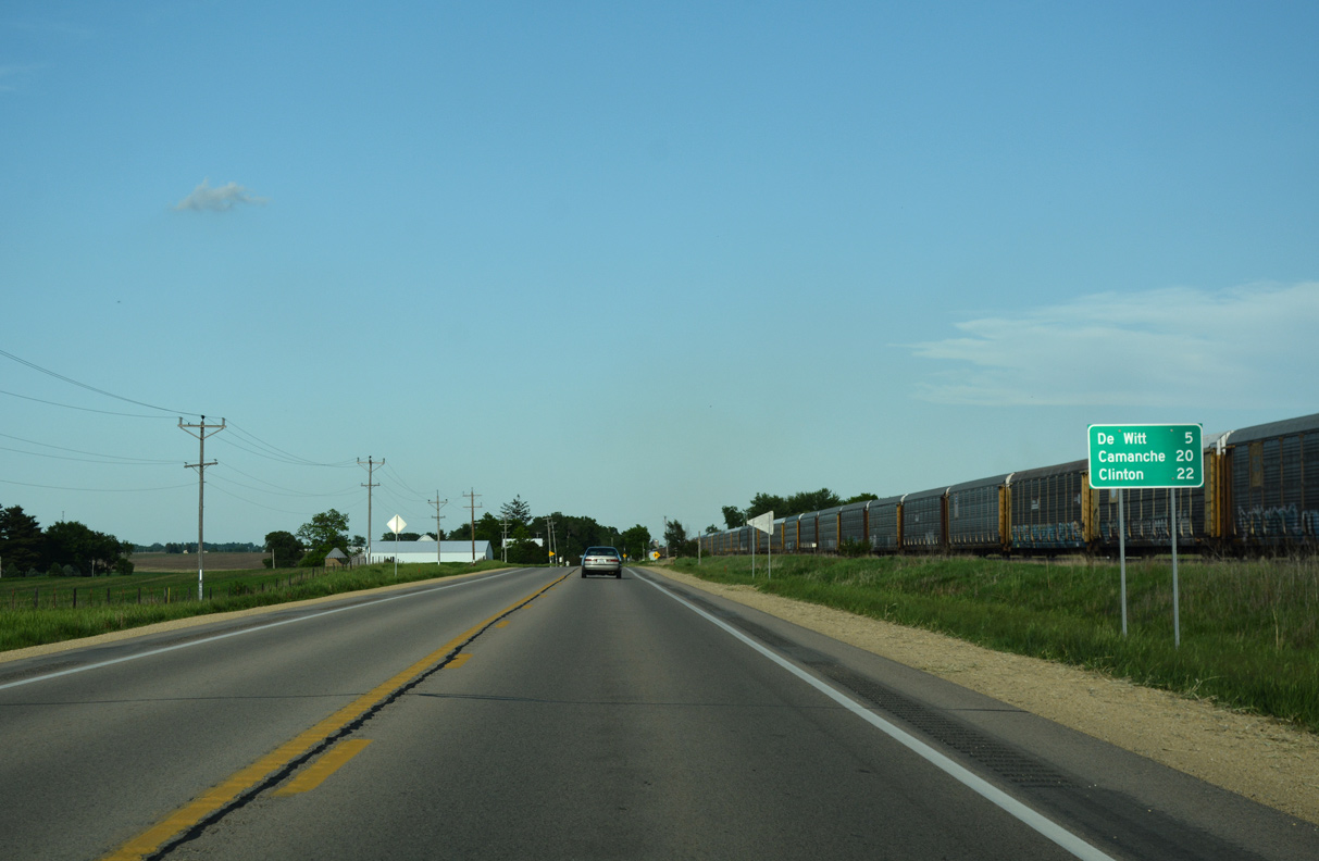
U.S. 30 east at DeWitt Street in Grand Mound.
05/26/18
05/26/18
05/26/18
05/26/18
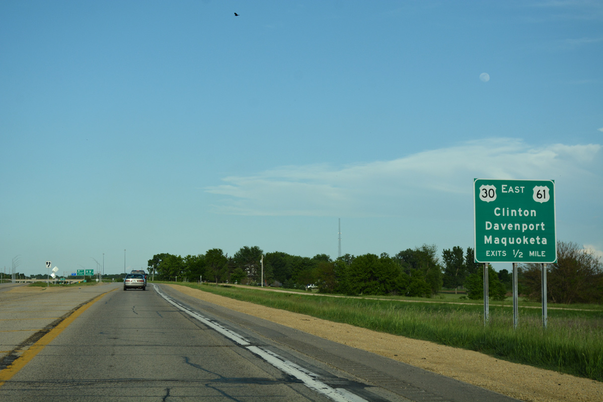
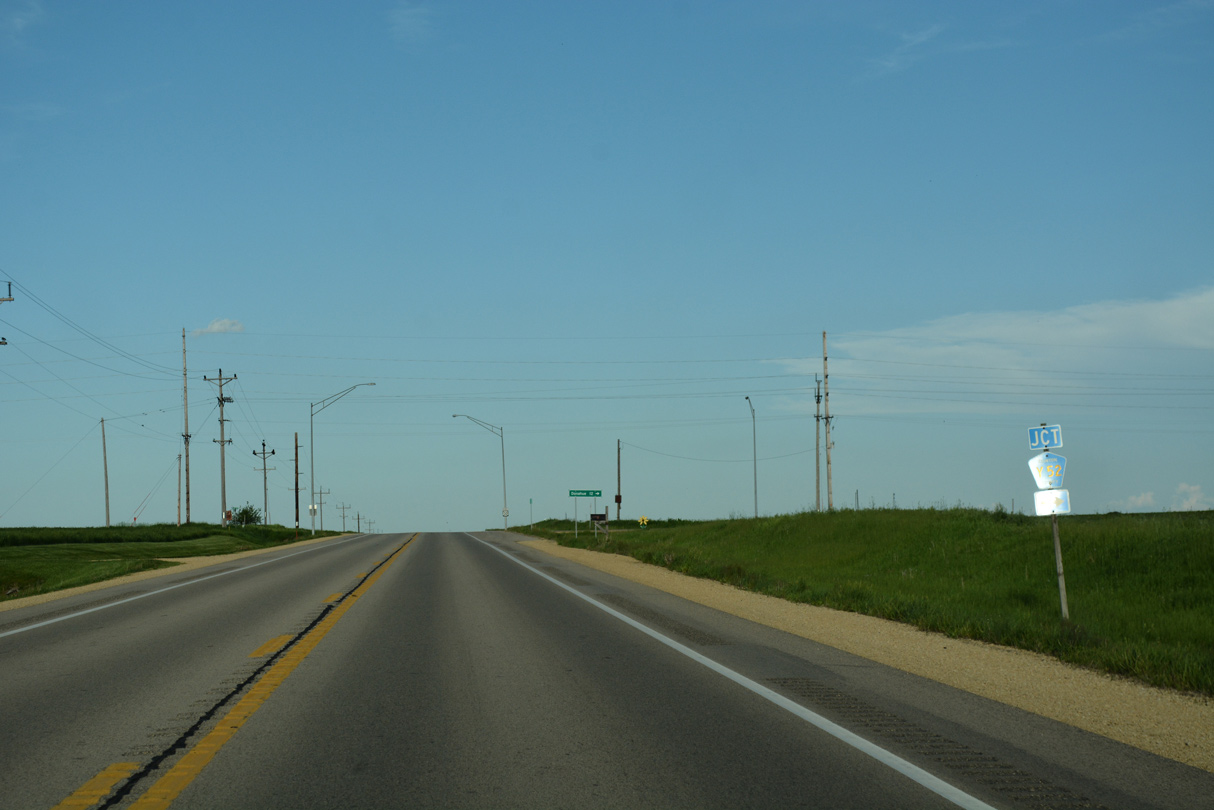
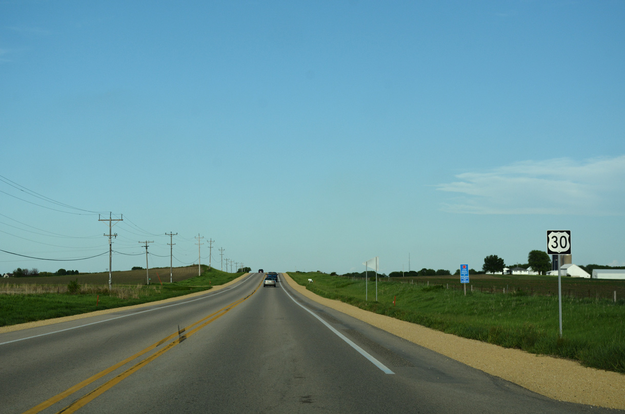
U.S. 30 widens into a four lane expressway leading east into a cloverleaf interchange with U.S. 61 at De Witt.
05/26/18
05/26/18
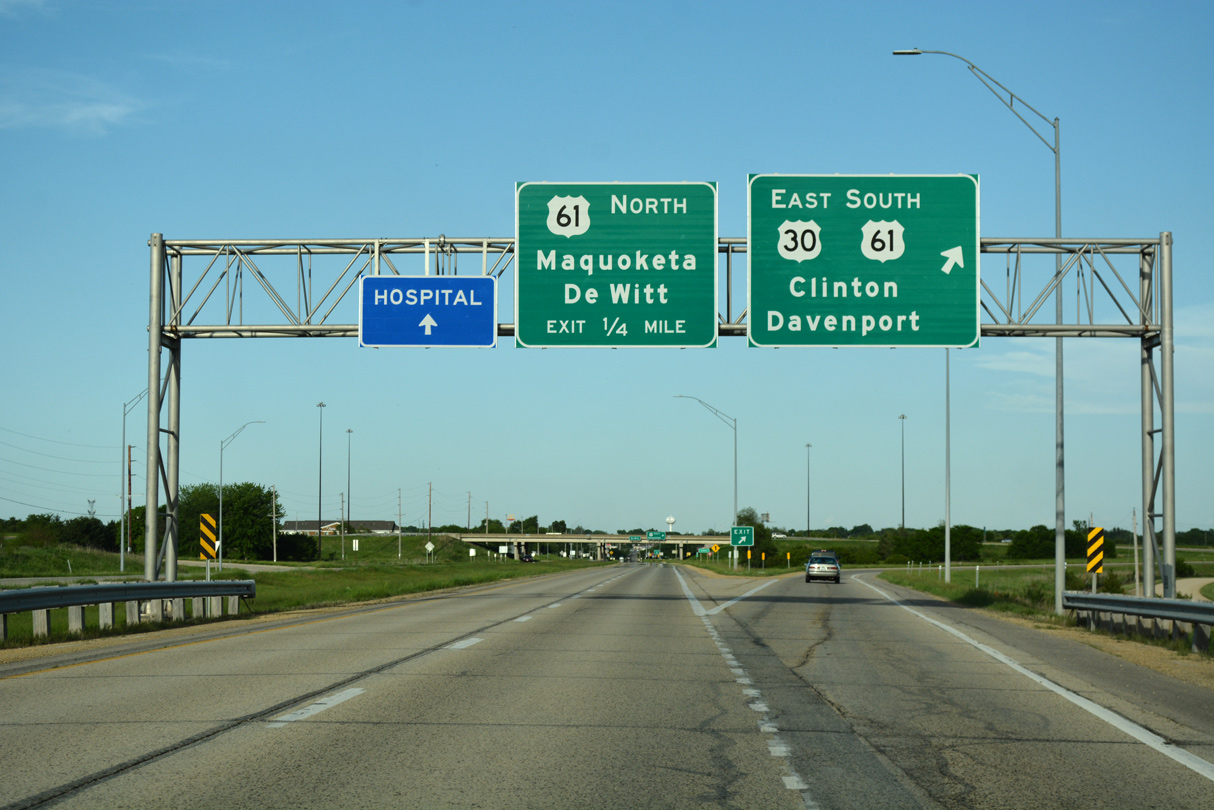
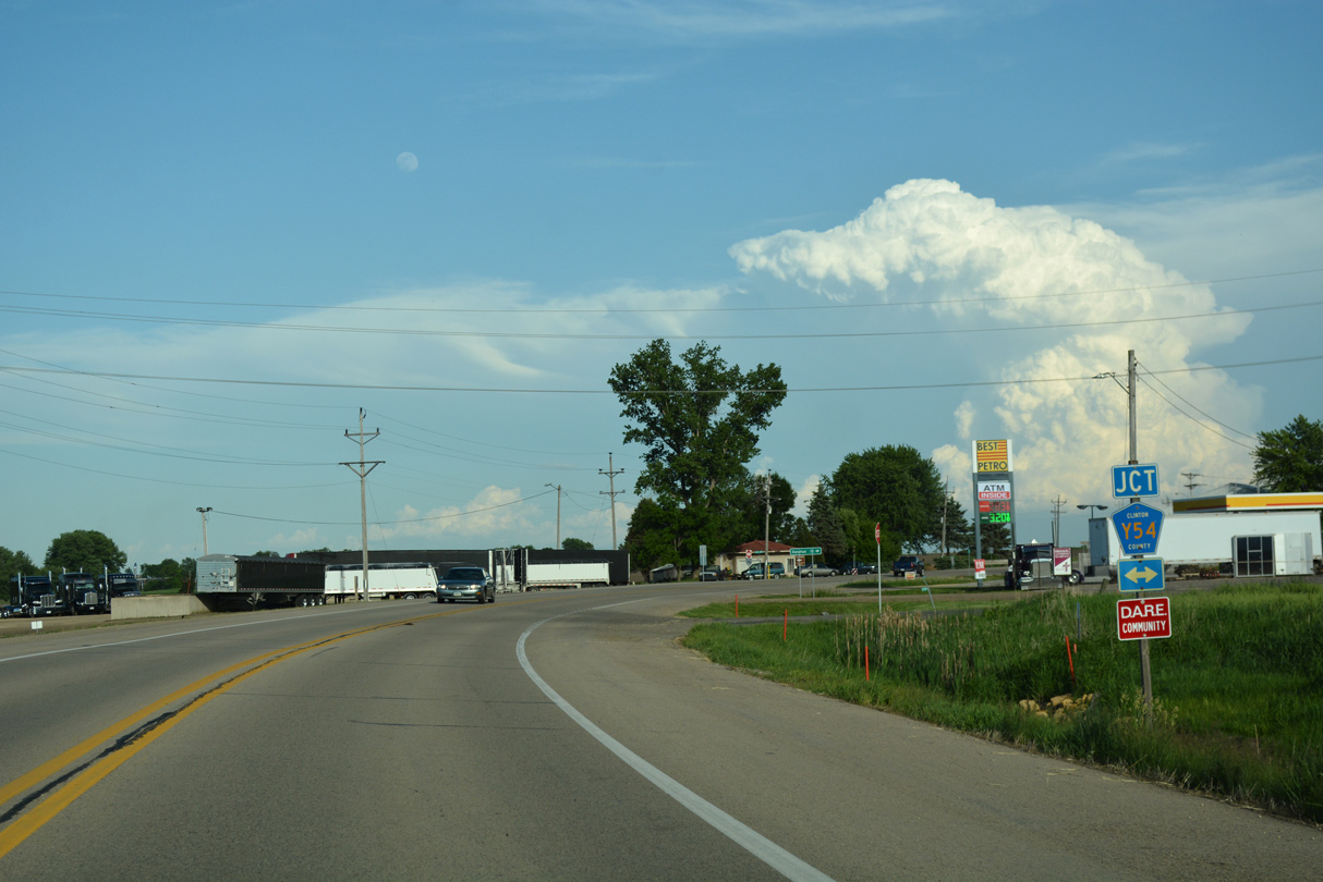
U.S. 30 overlaps with U.S. 61 south as part of its freeway bypass around De Witt. U.S. 61 enters De Witt along an expressway south from Maquoketa.
05/26/18
05/26/18
Photo Credits:
- Alex Nitzman: 05/26/18
- Alex Nitzman, Bill Gatchel: 03/25/16
Connect with:
Page Updated Wednesday December 18, 2019.