
U.S. 36 West - Louisville to Boulder
 West
West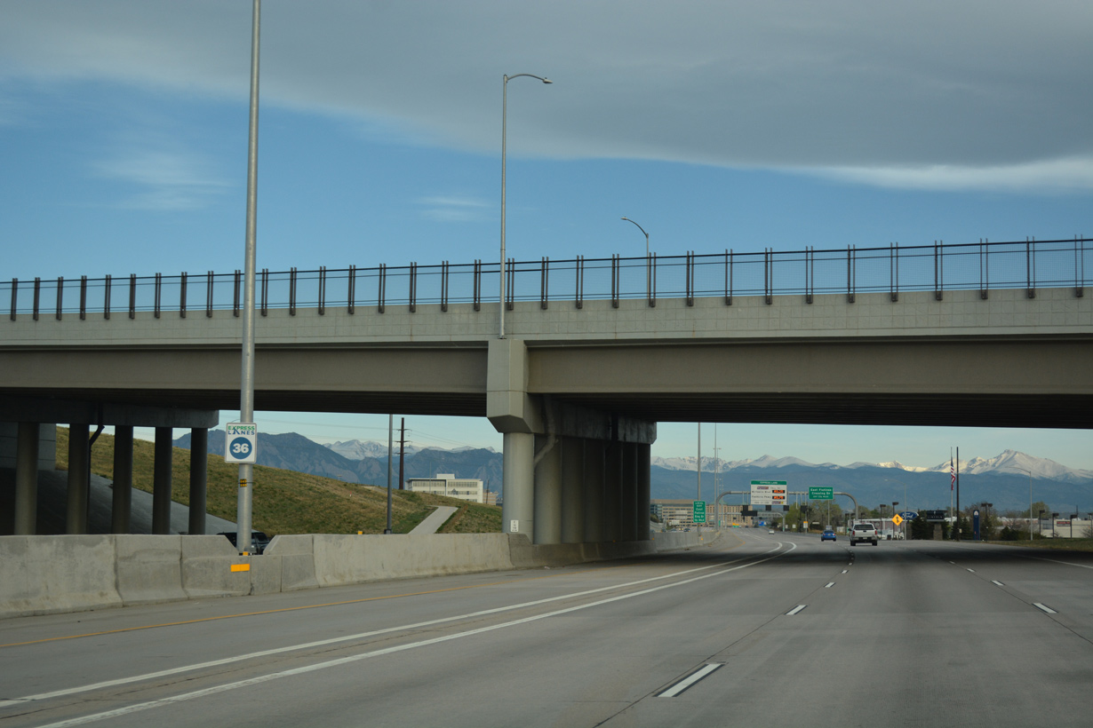
04/23/17
04/23/17
04/23/17
04/23/17
04/23/17
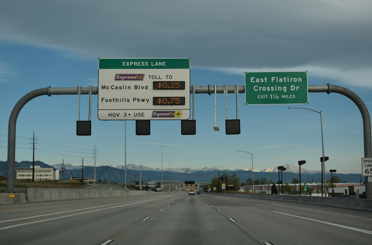
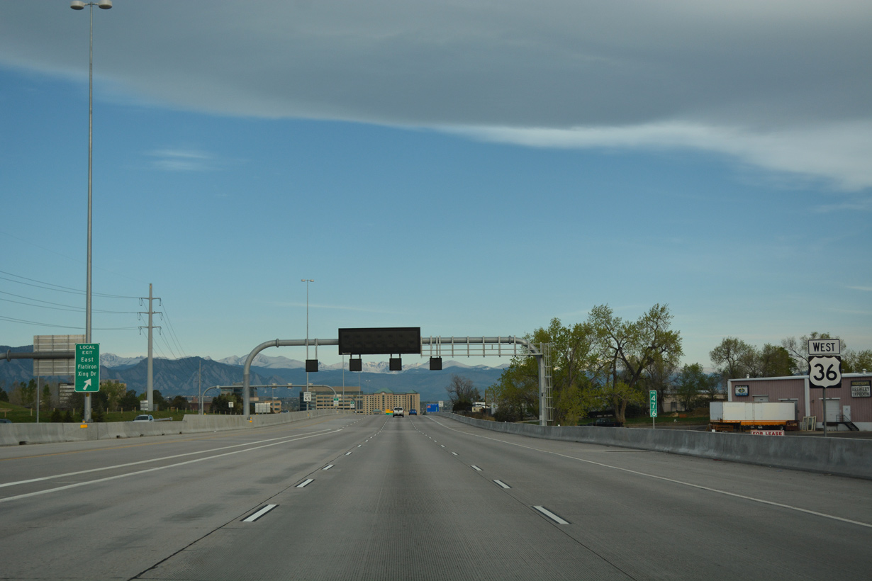
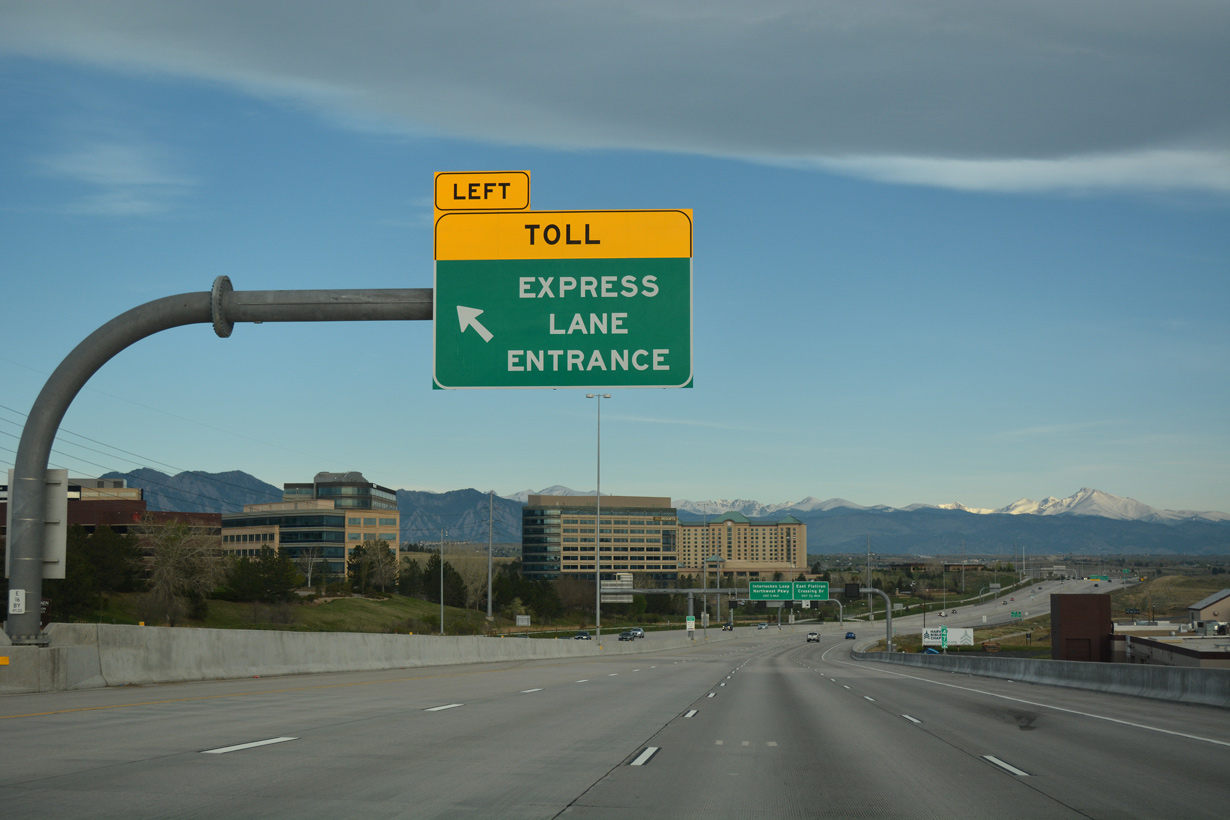
E Flatiron Crossing Drive stems west from Midway Boulevard into a half diamond interchange with U.S. 36. The arterial continues west to Interlocken Loop and Flatiron Crossing mall.
04/23/17
04/23/17
04/23/17
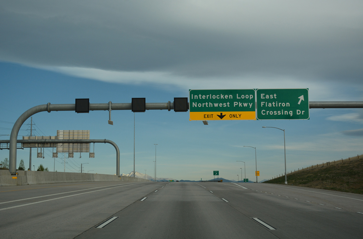
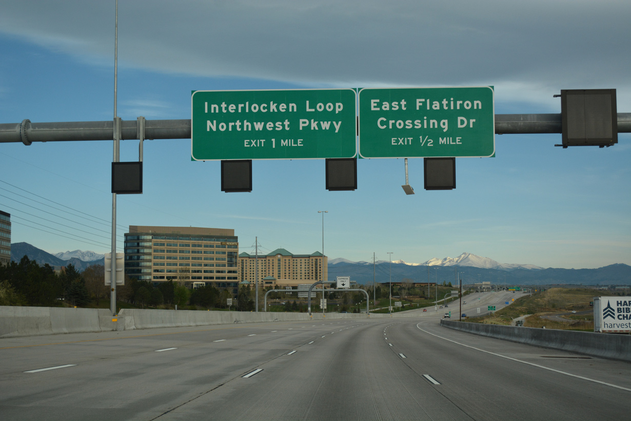
A diamond interchange with Interlocken Loop south and Northwest Parkway north follows the exit for E Flatiron Crossing Drive.
04/23/17
04/23/17
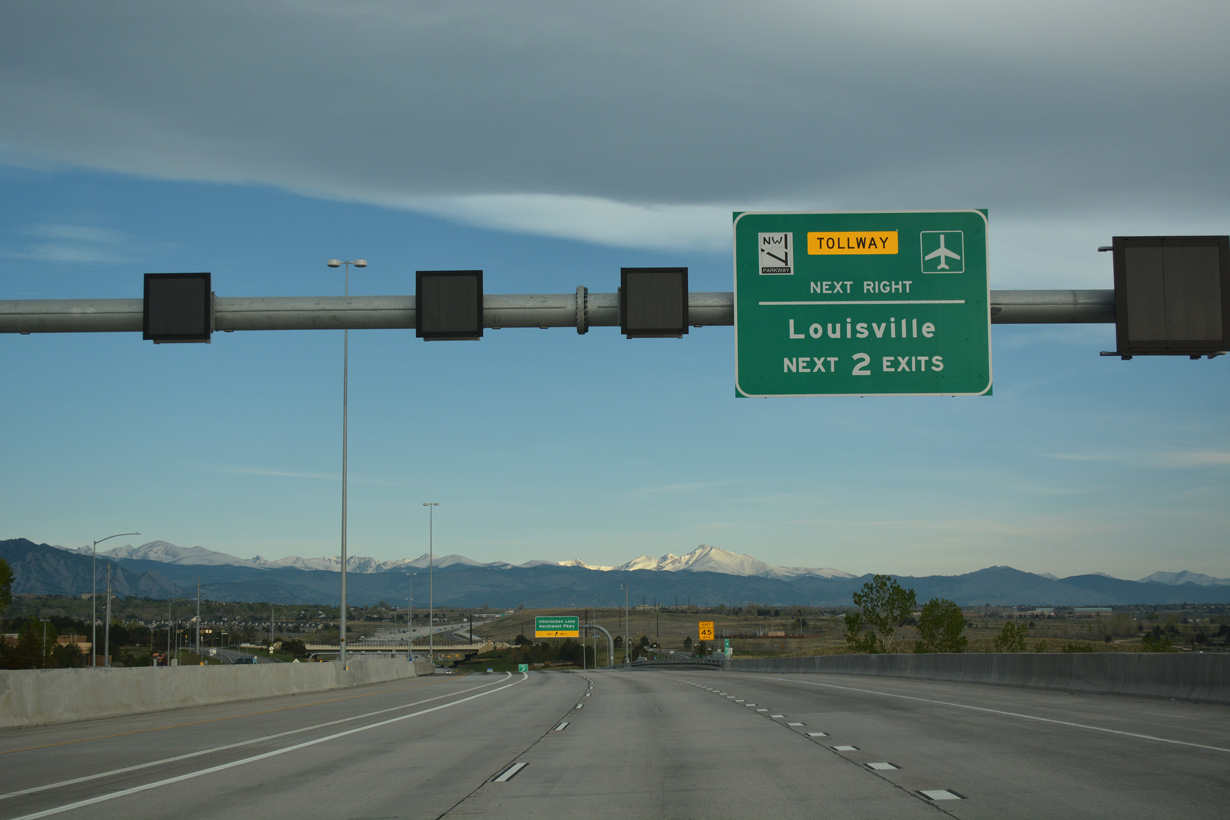
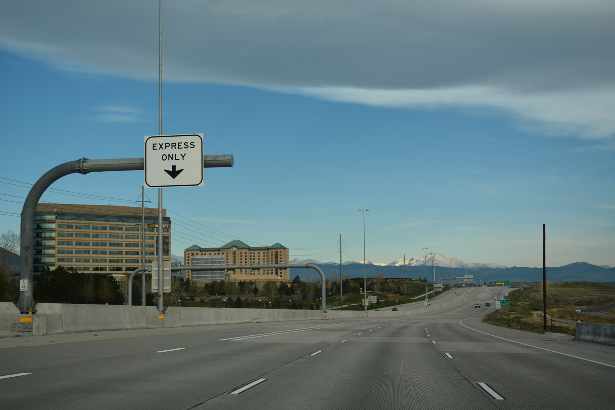
The tolled Northwest Parkway (SH 470N) forms an 8.00 mile long loop northeast from Via Verra / S 96th Street near Louisville to I-25 at E-470 in northeastern Broomfield.
04/23/17
04/23/17

Northwest Parkway constitutes an at-grade arterial 1.10 miles north from U.S. 36 at Interlocken Loop to the toll road along SH 470N. Interlocken Loop leads 1.26 miles south to SH 128 by Interlocken Golf Club.
04/23/17
04/23/17
04/23/17

04/23/17
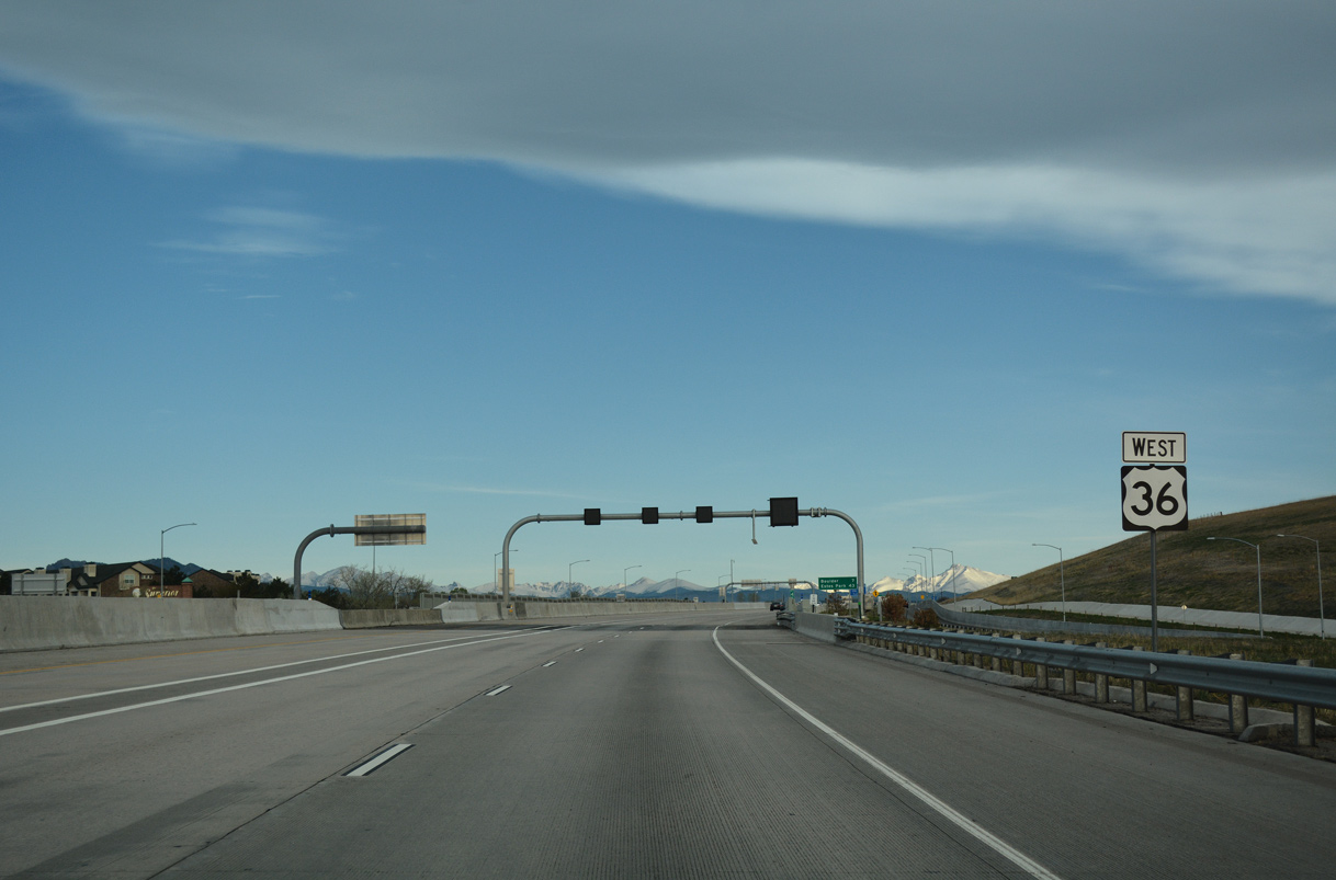
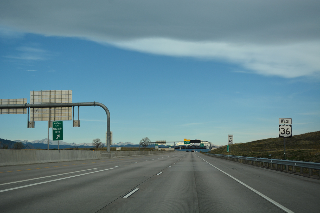
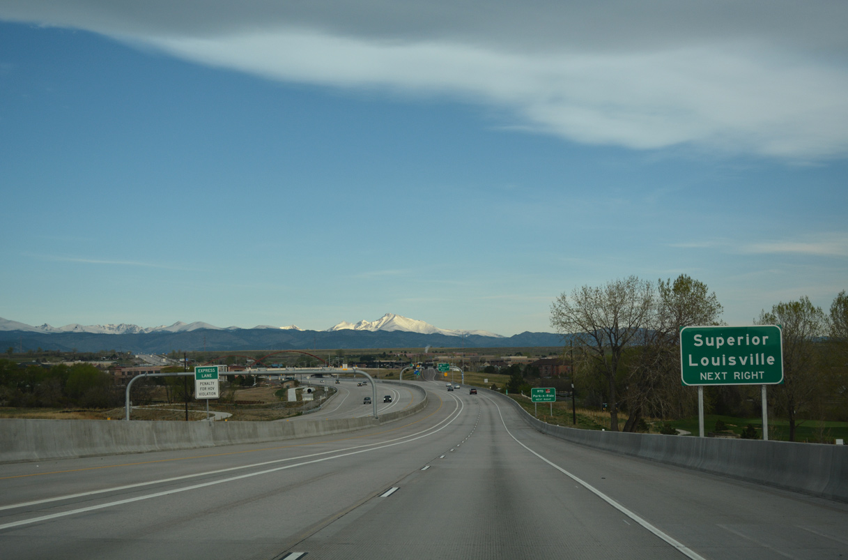
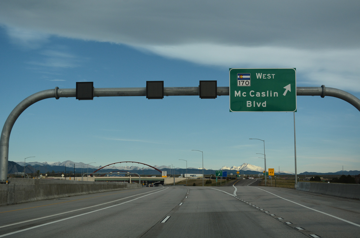
Advancing northwest from Broomfield, U.S. 36 (Denver-Boulder Turnpike) runs between the town of Superior and city of Louisville to SH 170 at Mc Caslin Boulevard.
04/23/17
04/23/17
04/23/17
04/23/17
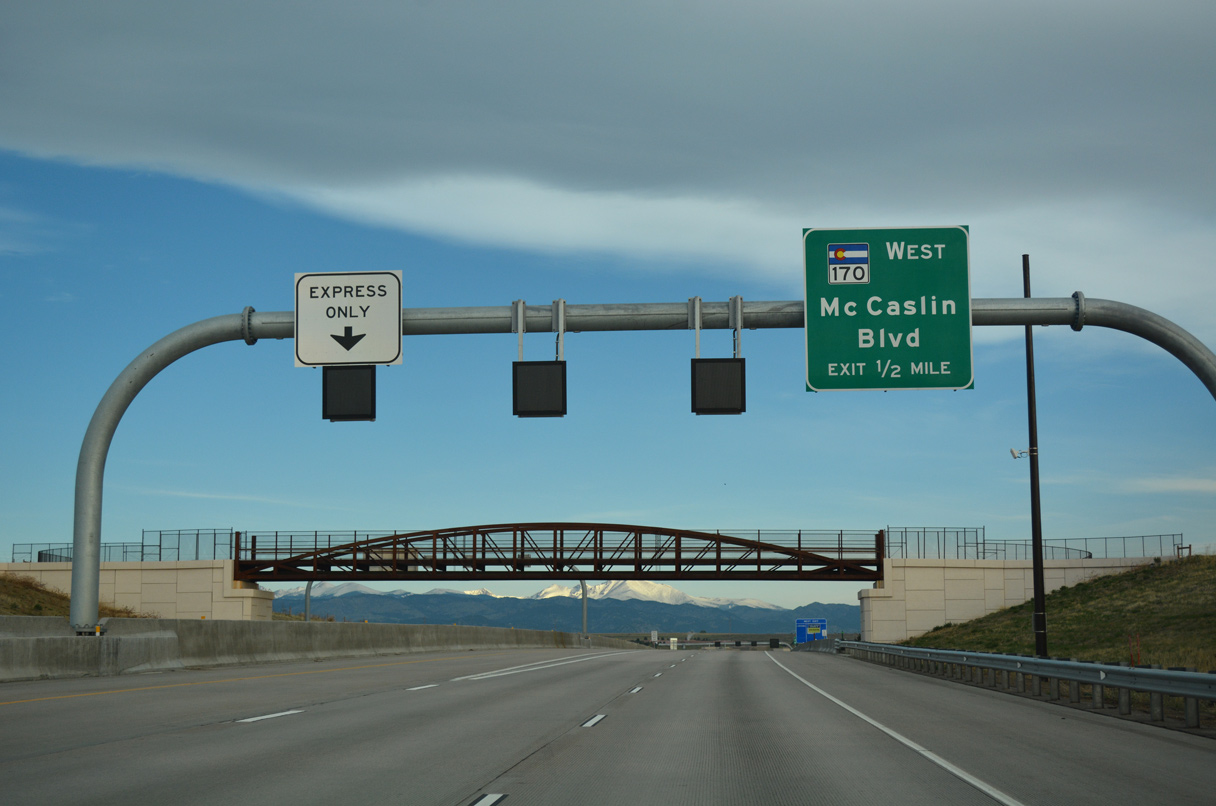
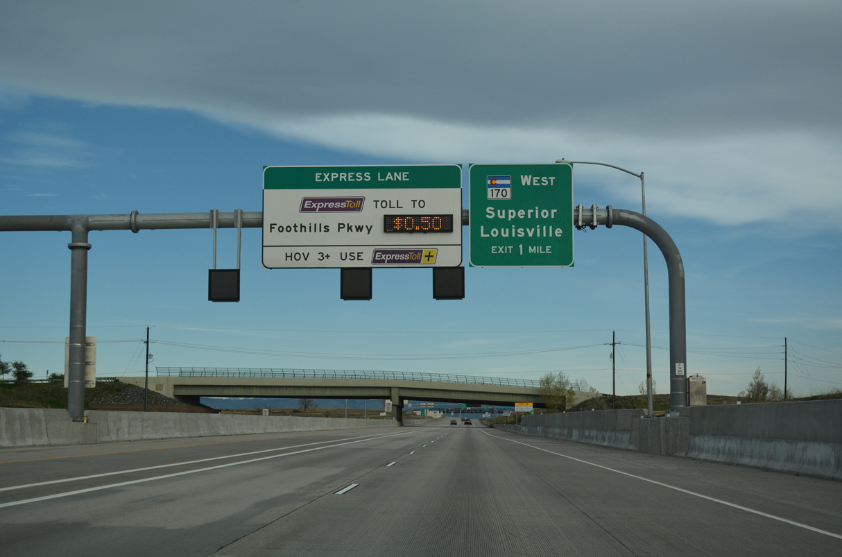
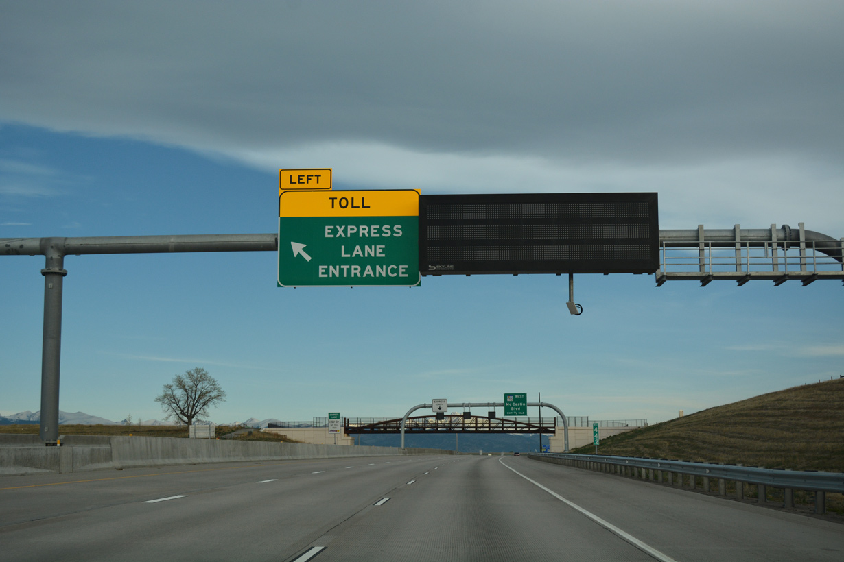
SH 170 measures 7.04 miles in length west from the diverging diamond interchange with U.S. 36 to SH 93 at Marshall and Eldorado Springs by Boulder Mountain.
04/23/17
04/23/17
04/23/17
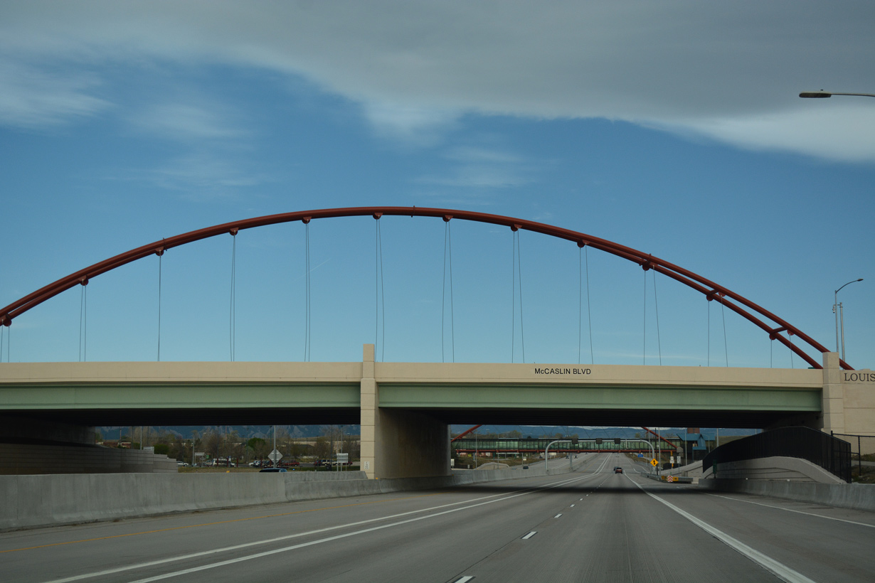
Mc Caslin Boulevard is a suburban arterial south through Superior to SH 128 and north through Louisville to W South Boulder Road.
04/23/17
04/23/17
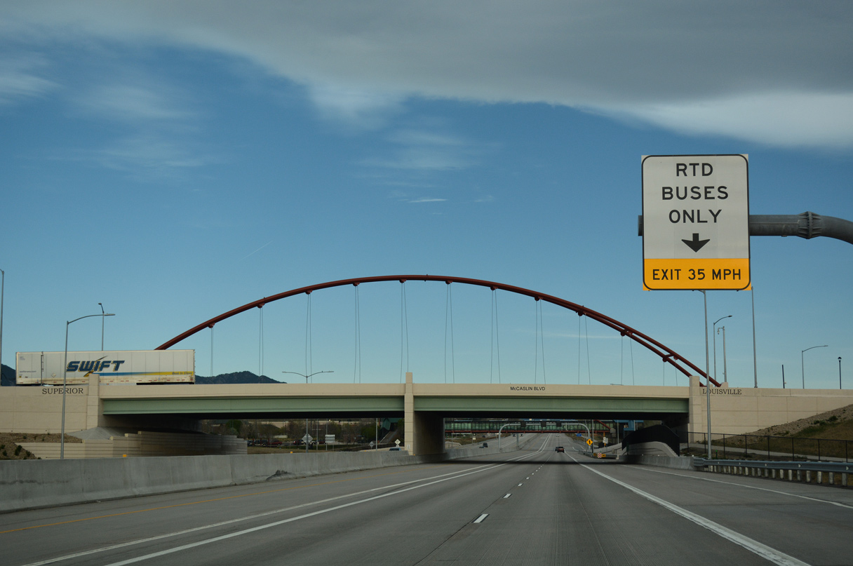
An RTD ramp departs from within the exchange at SH 170 to the US 36 and Mc Caslin Station Park and Ride facility.
04/23/17
04/23/17
Construction in 2015 reconfigured the diamond interchange with Mc Caslin Boulevard into a DDI and realigned SH 170 southward around the Superior Marketplace shopping center.
04/23/17
04/23/17
04/23/17
04/23/17
04/23/17
U.S. 36 (Denver-Boulder Turnpike) west at the Davidson Mesa Overlook.
04/23/17
04/23/17
04/23/17
The city of Boulder comes into view along the descent from Davidson Mesa.
04/23/17
04/23/17
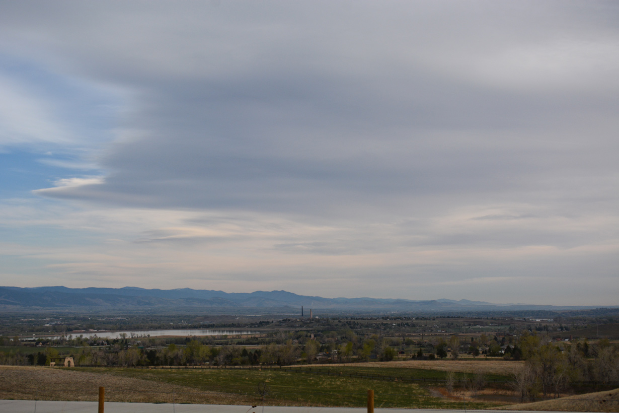
Baseline Reservoir
04/23/17
04/23/17
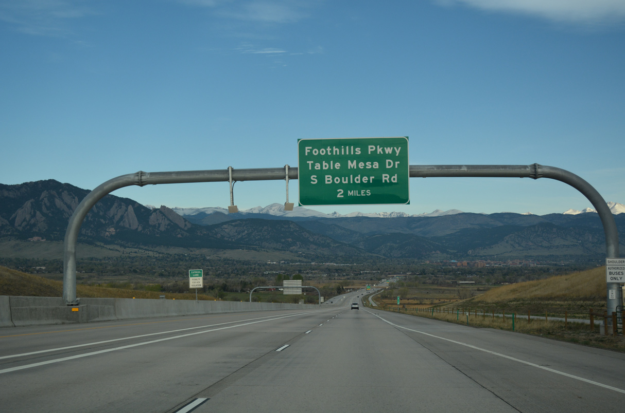
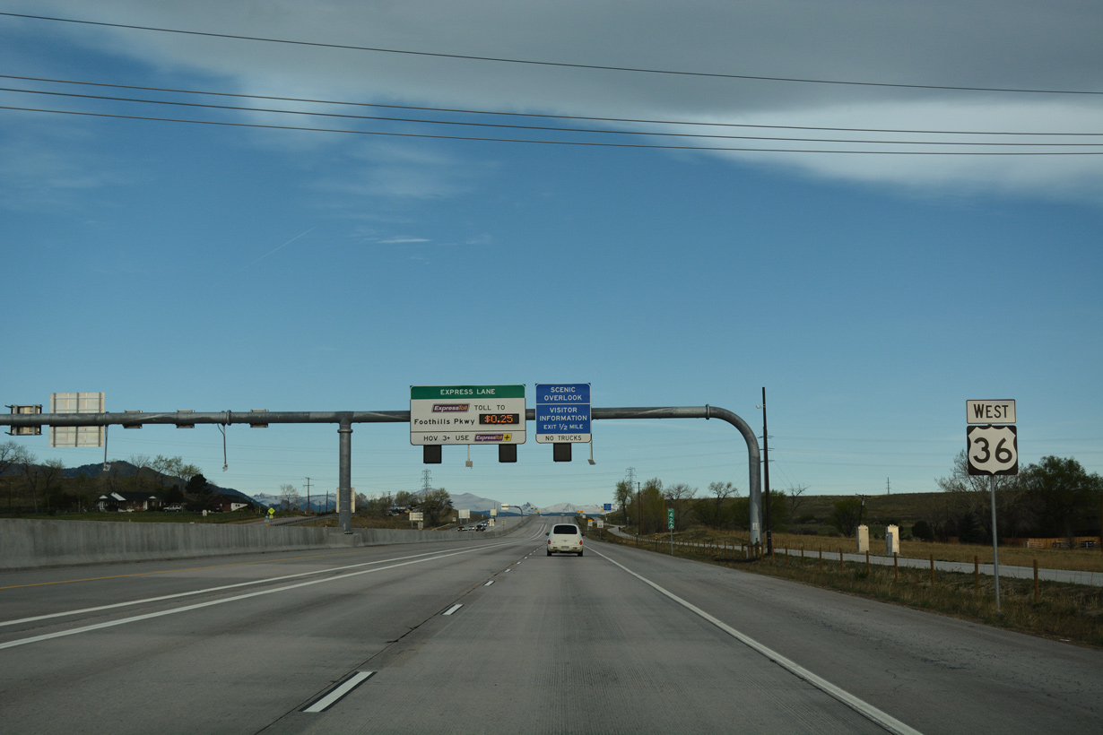
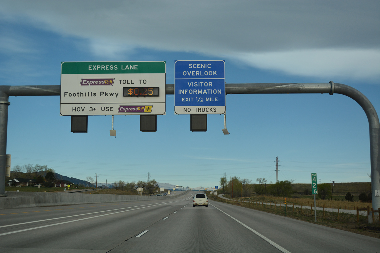
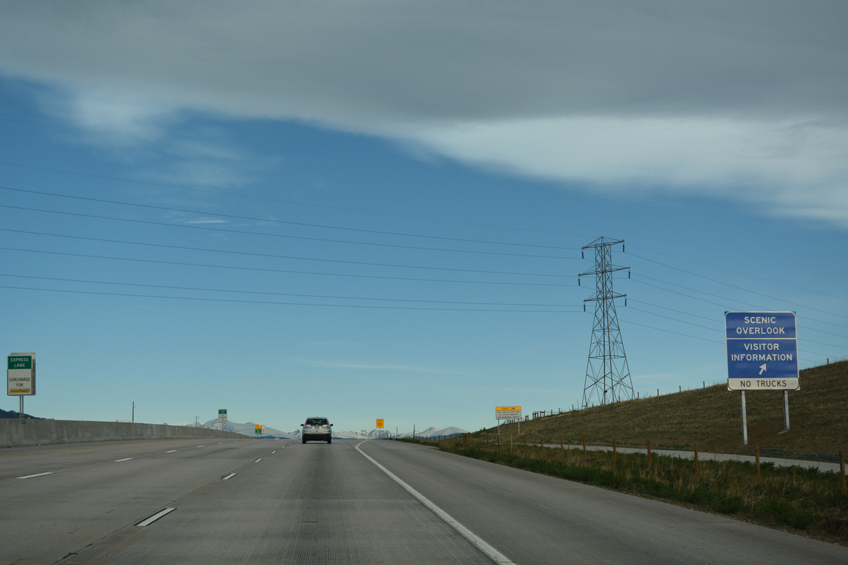
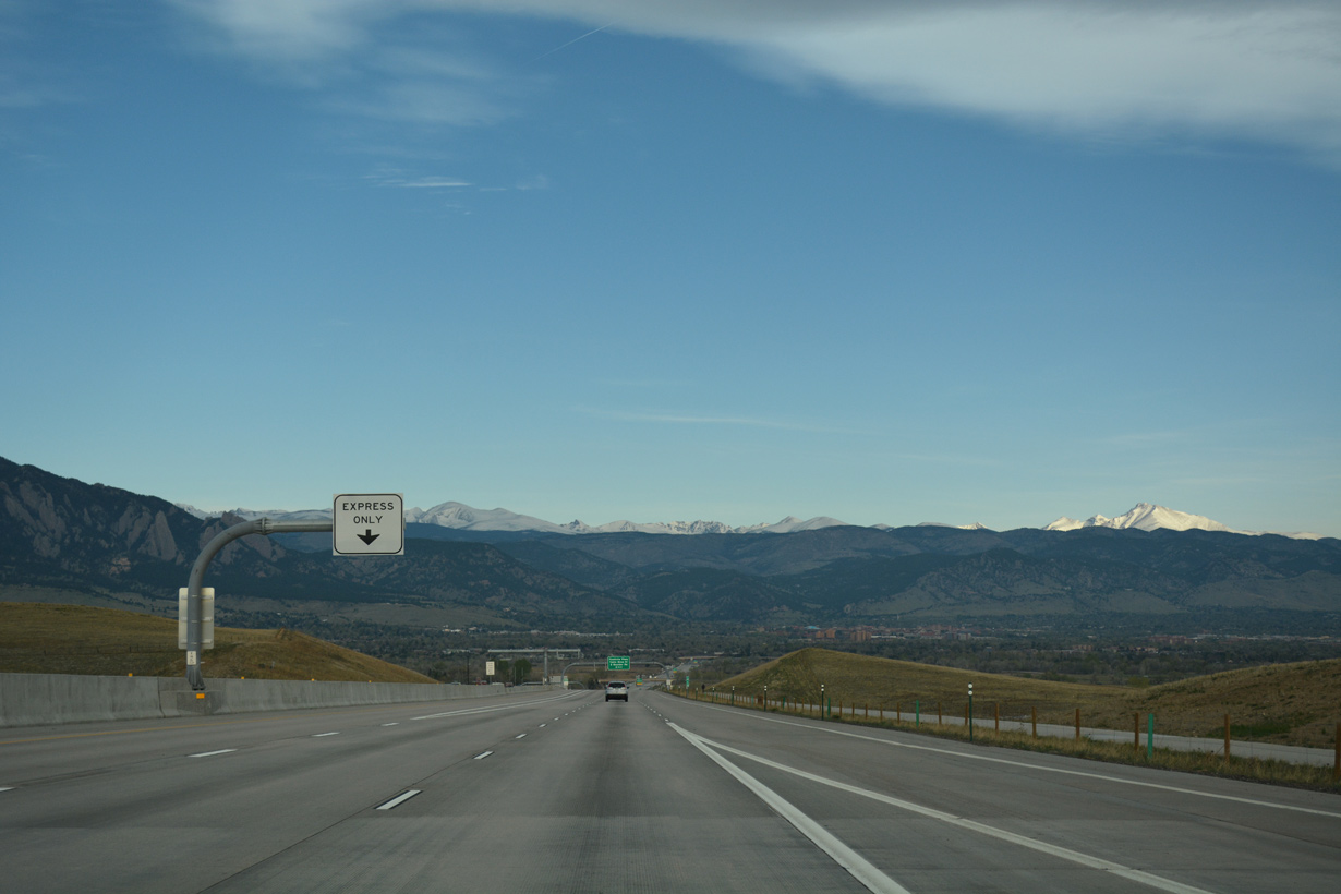
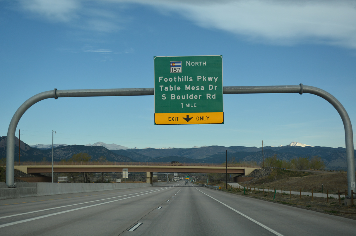
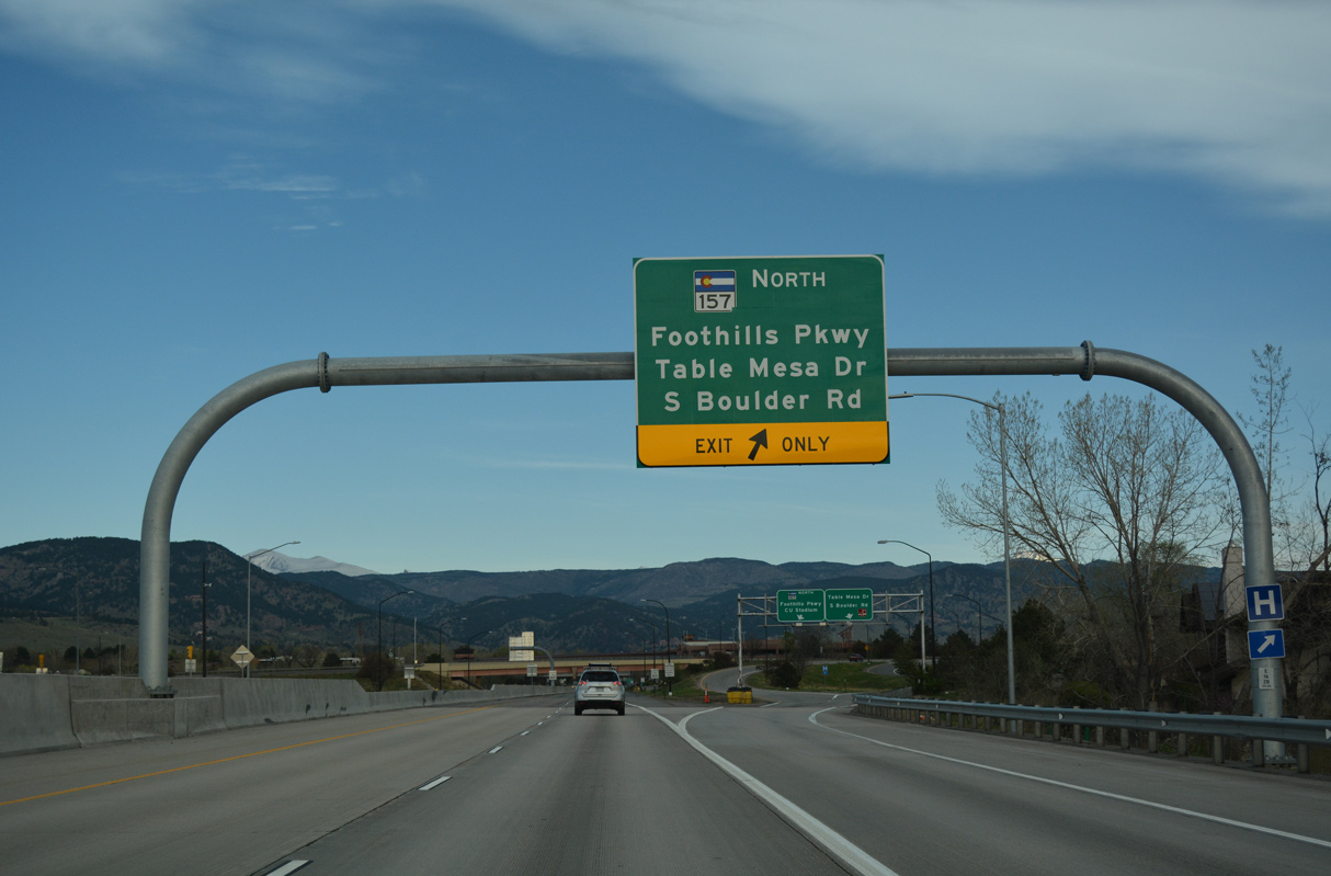
SH 157 (Foothills Parkway) branches north from a wye interchange along U.S. 36 by S Boulder Road in two miles.
04/23/17
04/23/17
SH 157 constitutes a 4.87 mile long at-grade expressway north to SH 119 (Diagonal Highway) through the east side of Boulder.
04/23/17
04/23/17
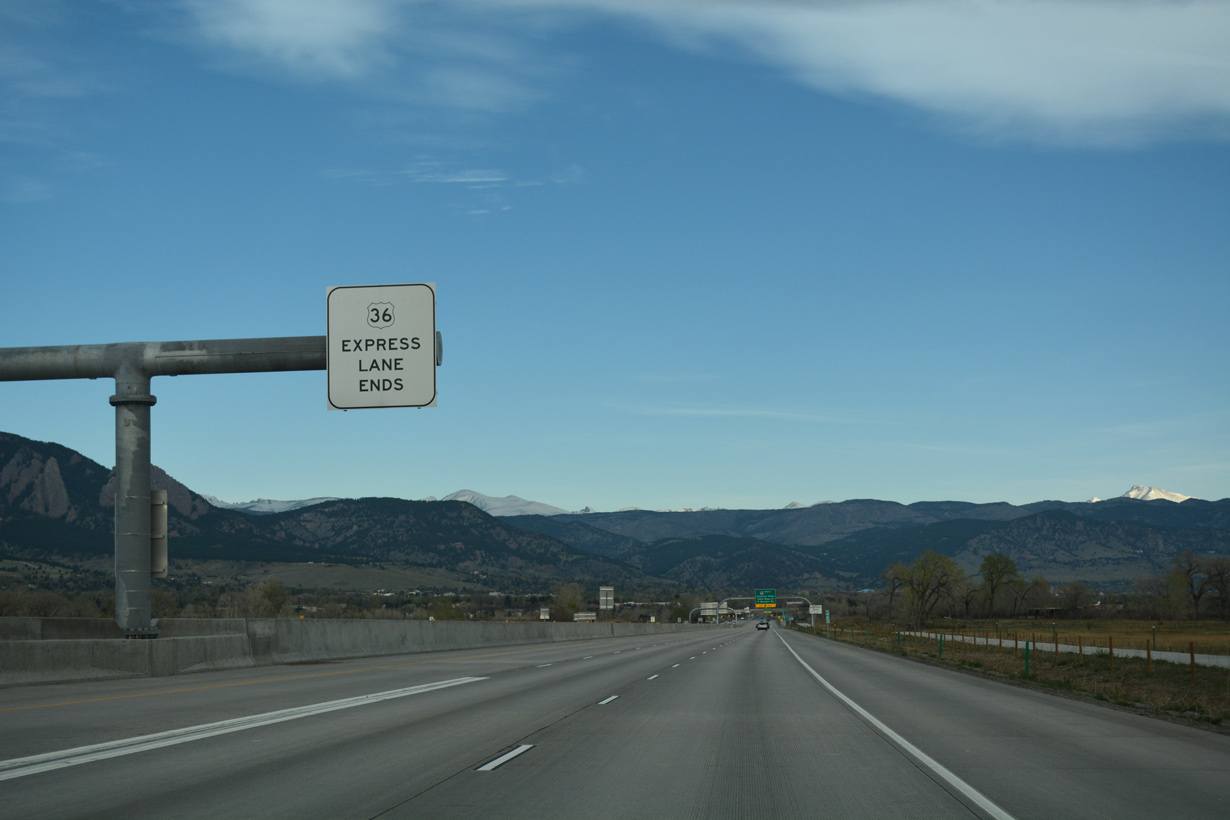
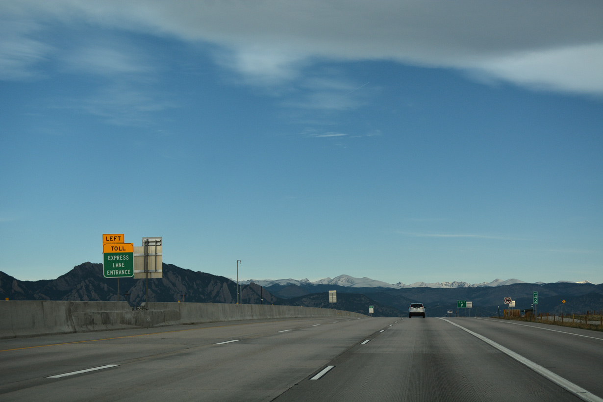
The tolled U.S. 36 Express Lane westbound ends between the Cherrydale Road overpass and South Boulder Creek.
04/23/17
04/23/17
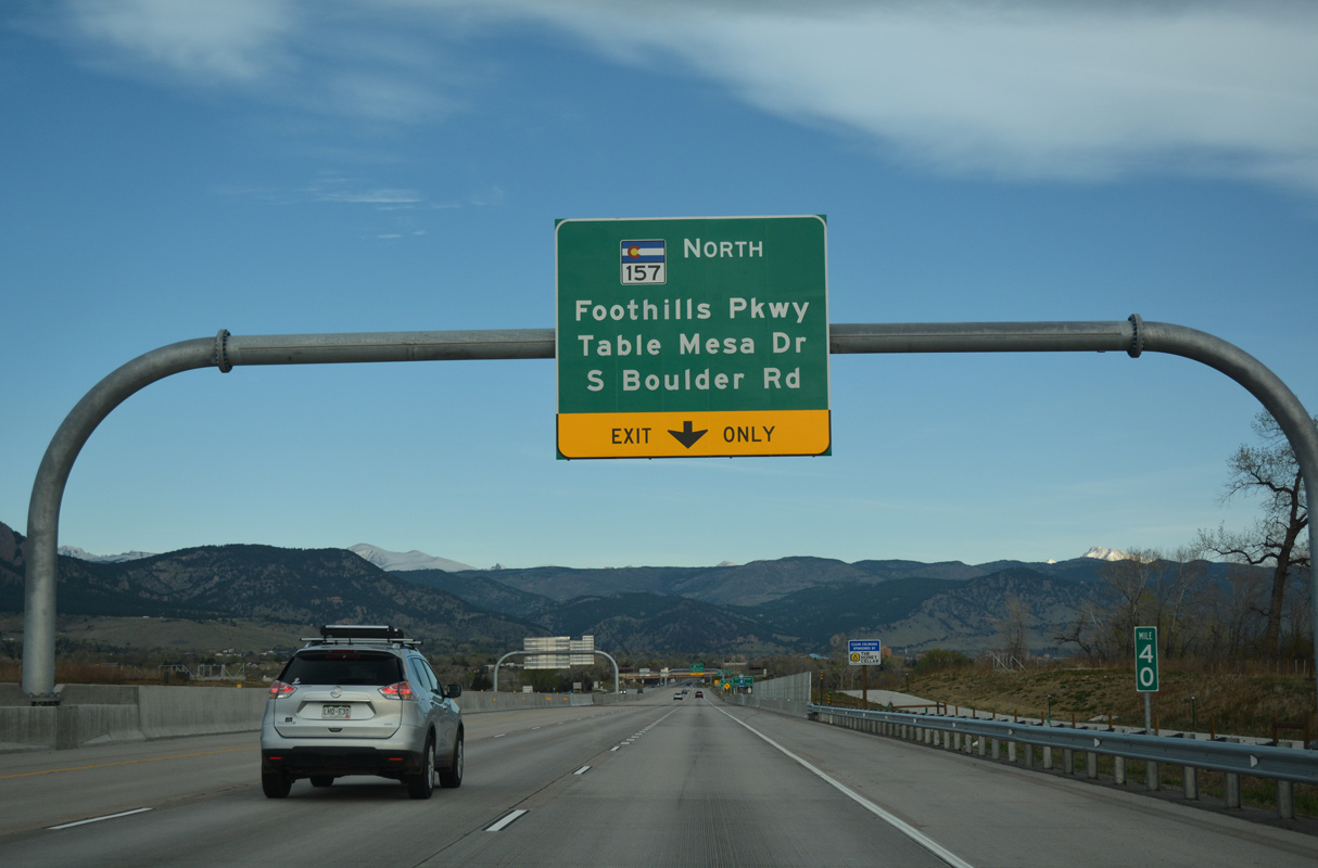
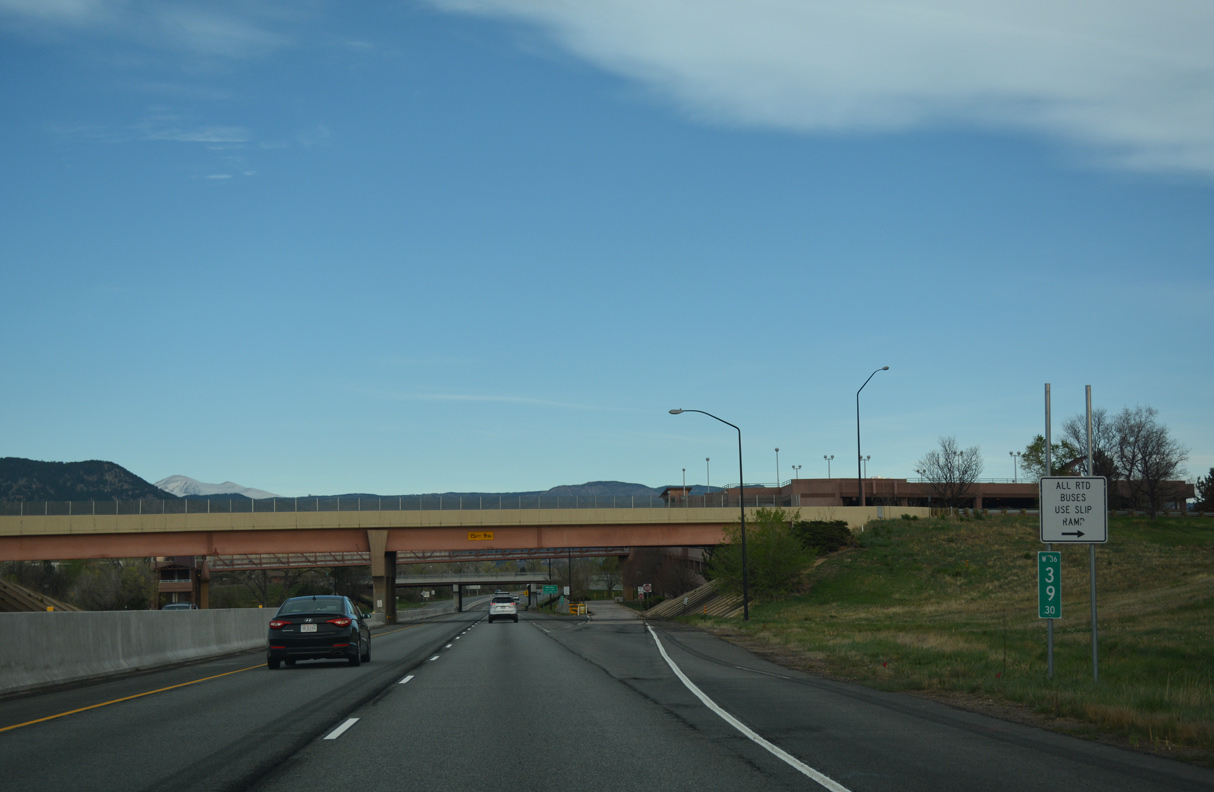
The exit for SH 157 partitions with a ramp to S Boulder Road east / Table Mesa Drive west.
04/23/17
04/23/17
04/23/17
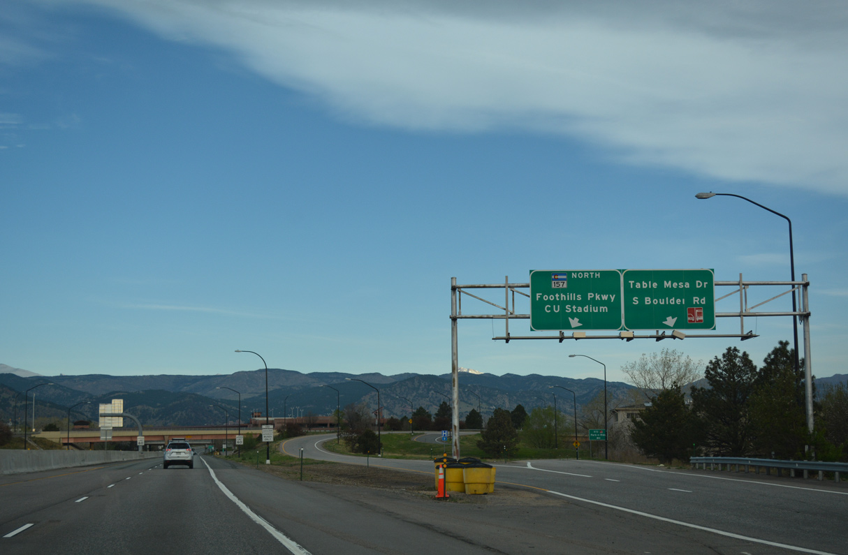
Table Mesa Drive west comprises a four lane boulevard to SH 93 (S Broadway Street) at Table Mesa Shopping Center. South Boulder Road is an arterial leading east into Louisville and Lafayette, where it meets U.S. 287.
04/23/17
04/23/17
The Table Mesa Park and Ride facility lies adjacent to U.S. 36 and the parclo interchange joining Table Mesa Road with Denver-Boulder Turnpike.
04/23/17
04/23/17
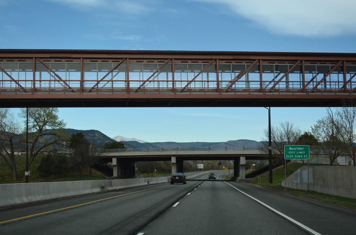
U.S. 36 west enters the city of Boulder at Table Mesa Drive.
04/23/17
04/23/17
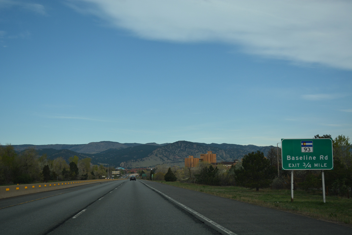
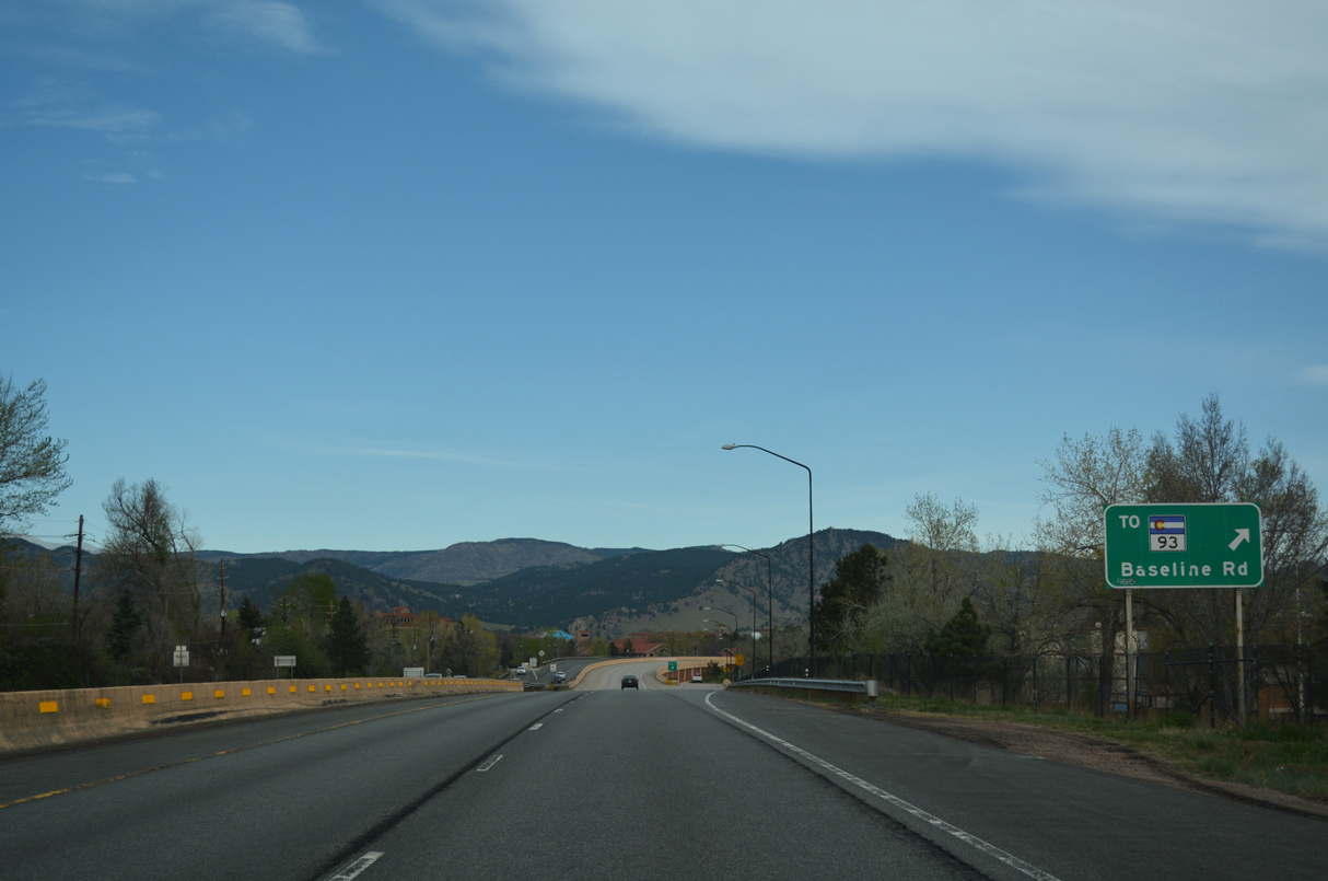
Baseline Road converges with U.S. 36 at a parclo interchange west from SH 158 (Foothills Parkway). U.S. 36 Spur (Route 036E) links U.S. 36 with parallel SH 93 (S Broadway) along 0.36 miles of Baseline Road.
04/23/17
04/23/17
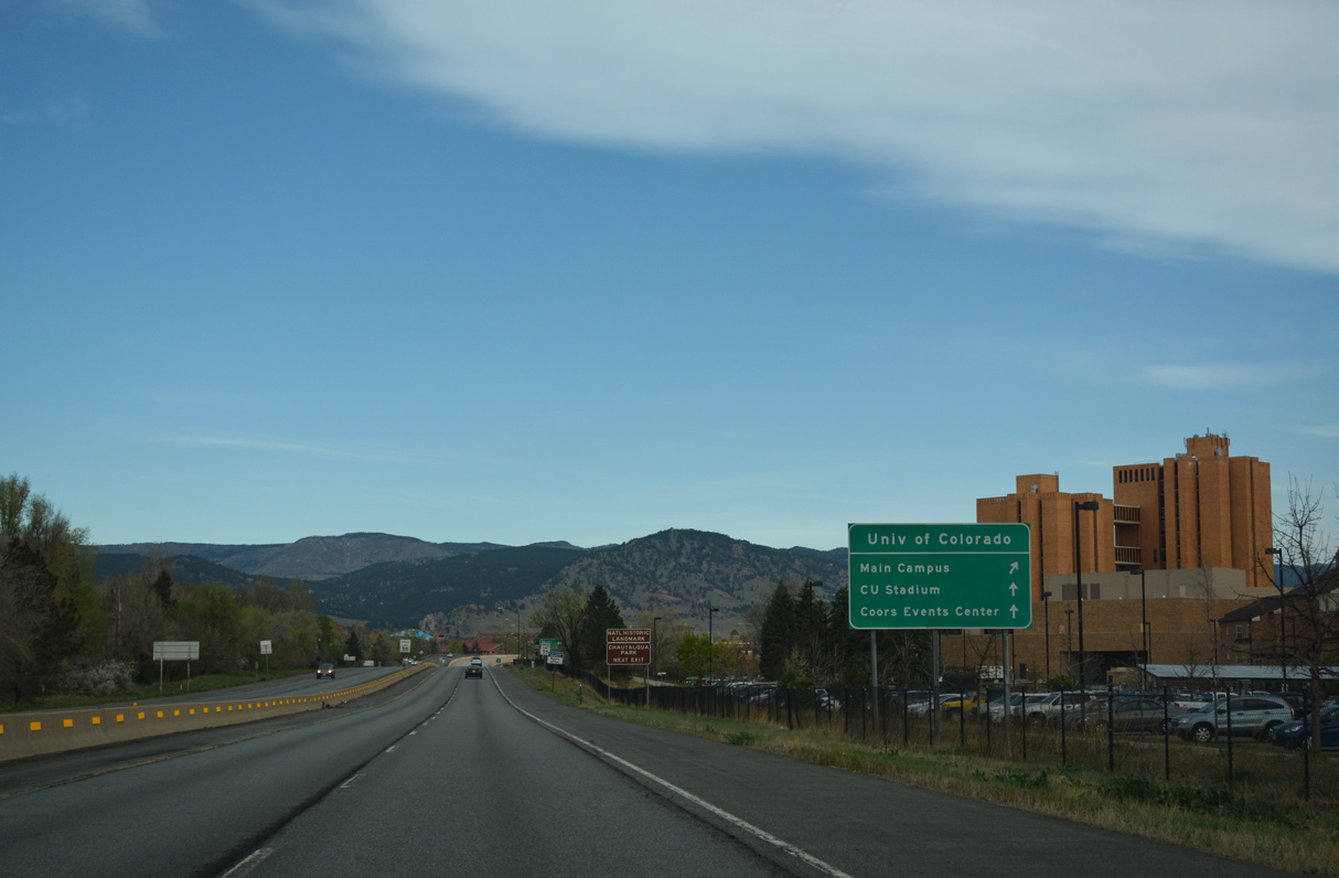
The University of Colorado Boulder Main Campus spreads northwest from between U.S. 36 (28th Street) and SH 93 (S Broadway). The East Campus is located along Colorado Avenue between 30th Street and SH 157.
04/23/17
04/23/17
Beyond the campus of Colorado University (CU), Baseline Road continues west to Flagstaff Road for Boulder Mountain Park. SH 93 originates at Golden and concludes at SH 119 (Canyon Boulevard) outside Downtown Boulder.
04/23/17
04/23/17
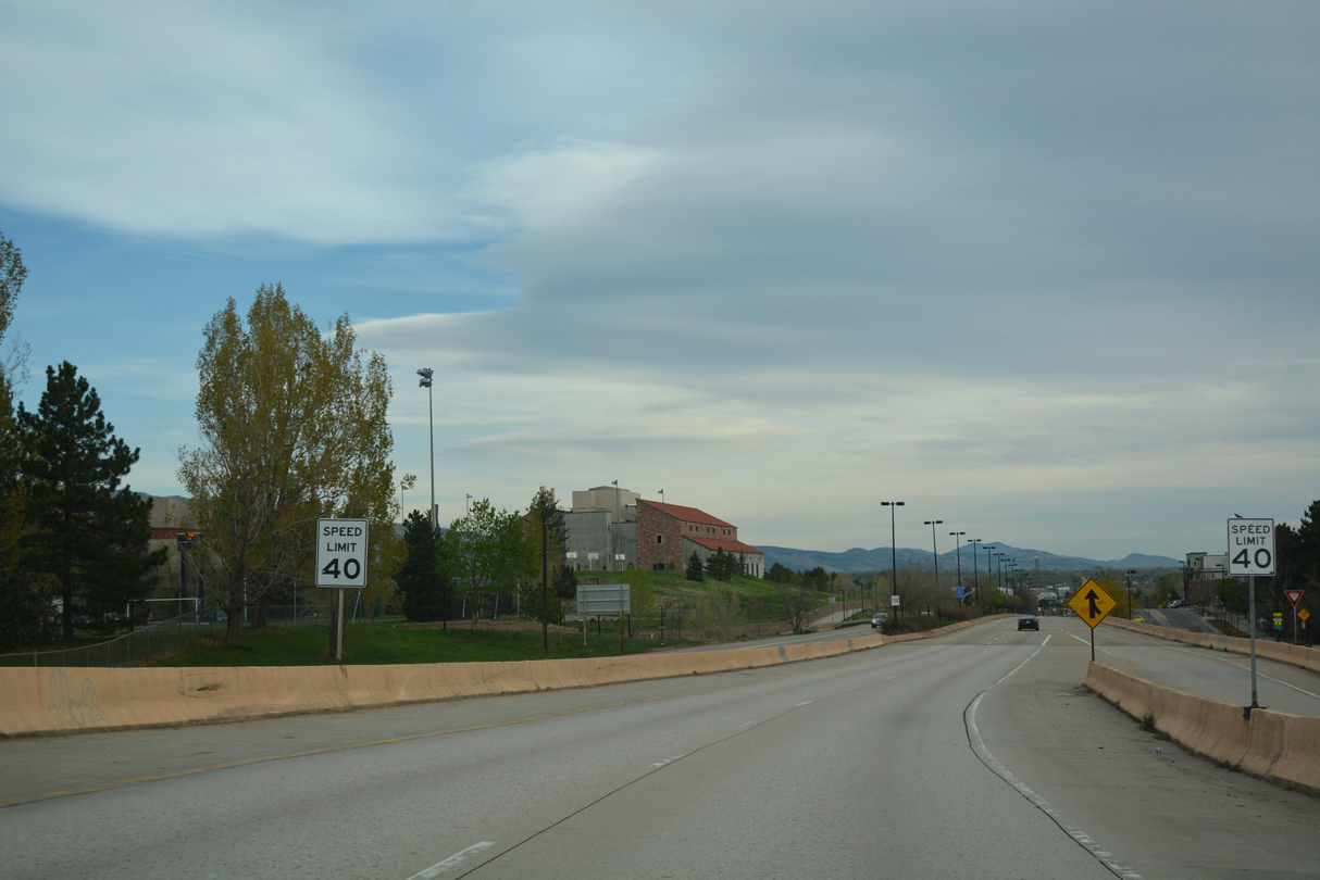
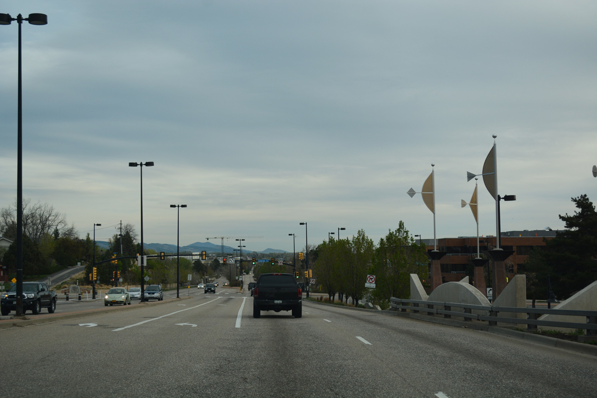
Continuing north into Boulder, U.S. 36 transitions from the Denver-Boulder Turnpike onto 28th Street.
04/23/17
04/23/17
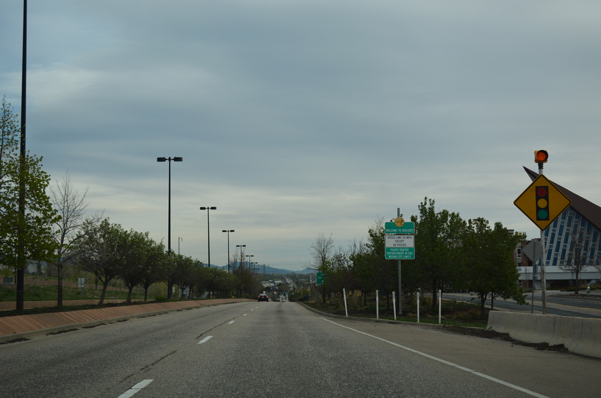
U.S. 36 remains with controlled access north to Colorado Avenue. An array of apartment complexes line 28th Street Frontage Road to the east.
04/23/17
04/23/17
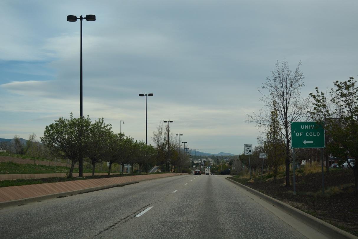
The CU Events Center and Stadium lie west of 28th Street via forthcoming Colorado Avenue.
04/23/17
04/23/17
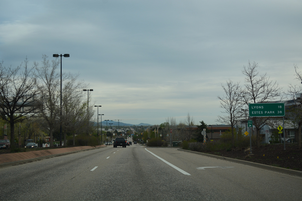
The town of Lyons lies 18 miles north along U.S. 36. 38 miles to the northwest along U.S. 36, Estes Park is the gateway to Rocky Mountain National Park.
04/23/17
04/23/17
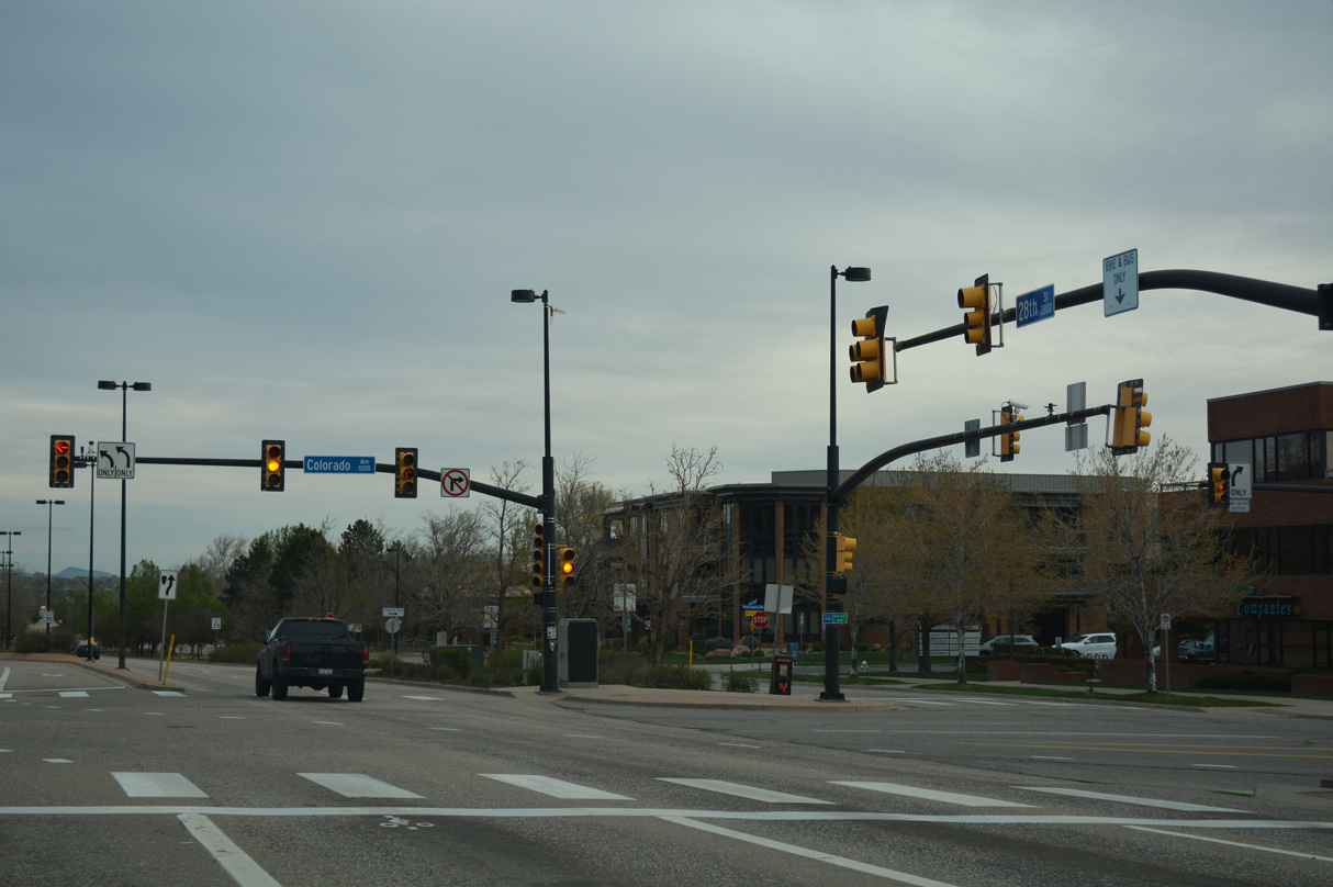
A pedestrian tunnel below U.S. 36 linking the campus of CU with College Avenue precedes the signalized intersection with Colorado Avenue.
04/23/17
04/23/17
04/23/17
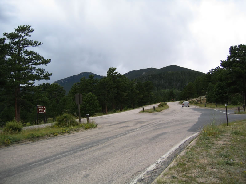
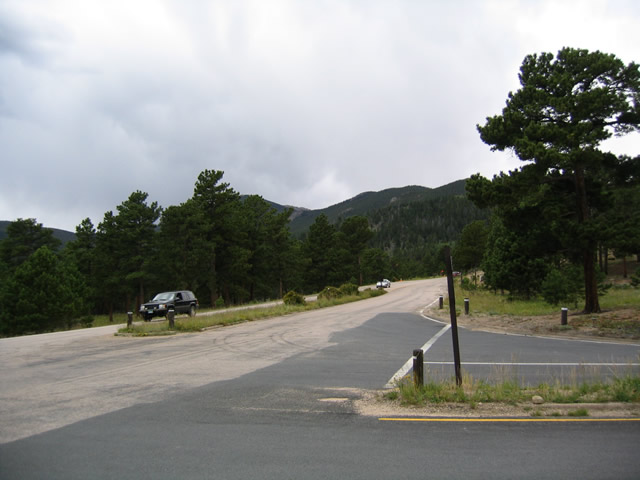
U.S. 36 west concludes at U.S. 34 (Trail Ridge Road) and Deer Ridge Junction within Rocky Mount National Park.
08/27/04
08/27/04
U.S. 34 (Trail Ridge Road) west ascends over the Rocky Mountains and turns south to Lake Granby and U.S. 40 in the town of Granby. U.S. 34 (Fall River Road) east lowers to Horseshoe Park before turning back toward Estes Park.
08/27/04
08/27/04
Photo Credits:
- ABRoads: 04/23/17
- Andy Field: 08/27/04
Page Updated Tuesday January 04, 2022.