
U.S. 40 East - Kremmling to Genesee Park
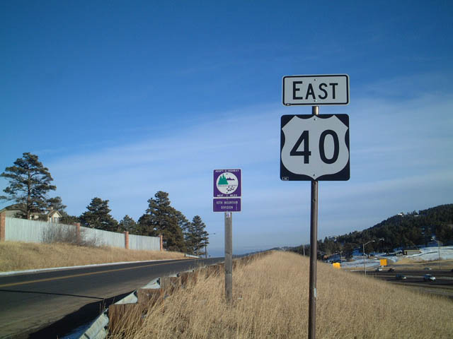
 East
East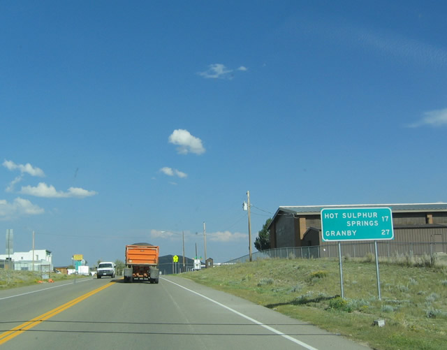
Removed by 2015, this distance sign was posted along U.S. 40 (Park Avenue) east of 7th Street in the town of Kremmling.
08/27/04
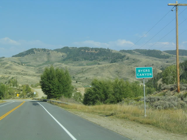
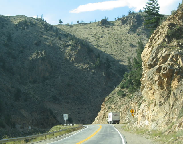
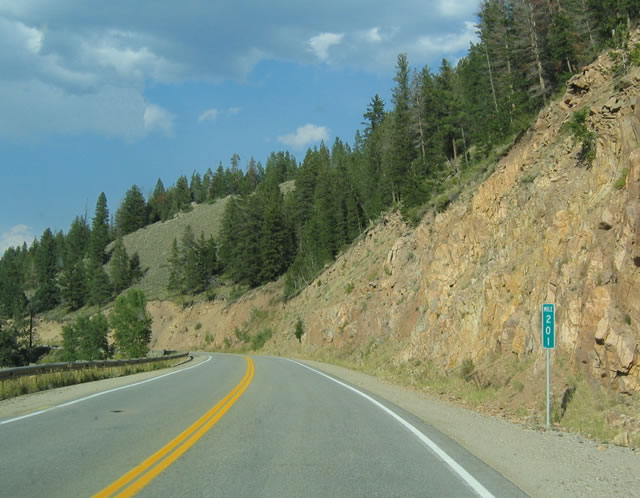
U.S. 40 enters Byers Canyon east of Parshall and milepost 199.
08/27/04
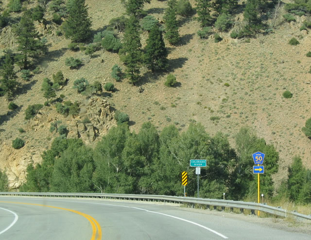
U.S. 40 crosses the Colorado River ahead of County Road 50 east.
08/27/04
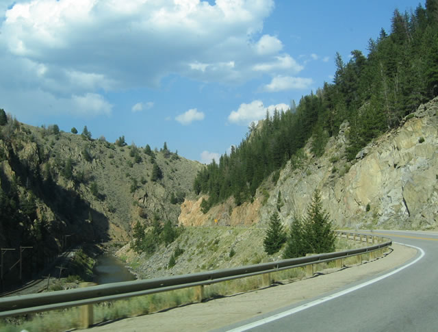
U.S. 40 winds northward alongside the Colorado River through scenic Byers Canyon.
08/27/04
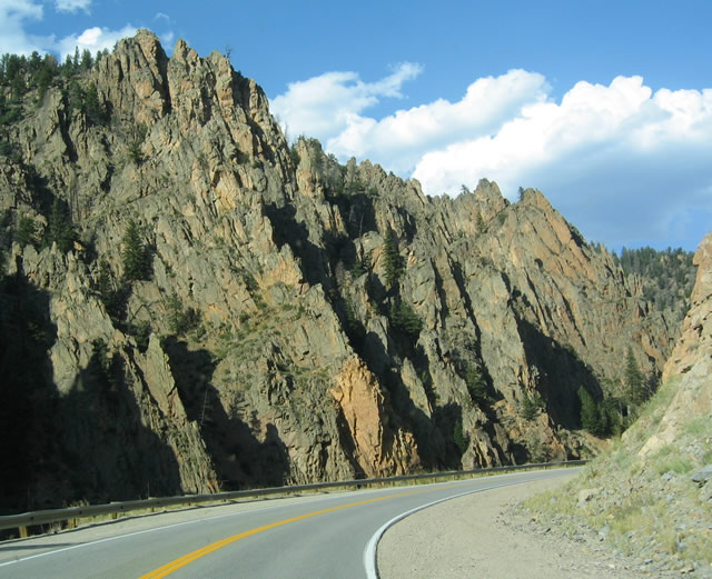
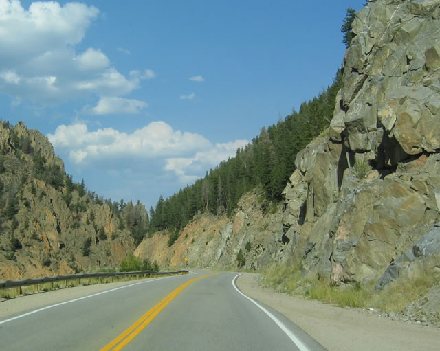
Nearing the north end of Byers Canyon, U.S. 40 approaches Hot Sulphur Springs and the east slopes of Mount Bross. Photos taken 08/27/04.
08/27/04
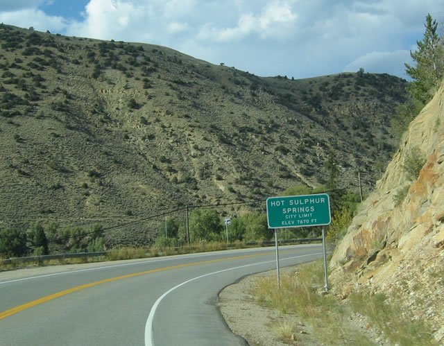
Hot Sulphur Springs is the seat of Grand County. Sitting at an elevation of 7,670 feet along the Colorado River, the town offers rafting opportunities through Byers Canyon and natural hot springs.
08/27/04
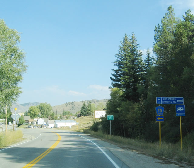
Grand Avenue separates from U.S. 40 one block north through the Hot Sulfur Springs business district. The street was formerly posted as County Road 20, but this assembly on U.S. 40 east was taken down by 2007.
08/27/04
Grand County Road 55 provides an alternate route to U.S. 40, following Gardiner Creek southeast around the south slope of Mount Chauncey. It reconnects with U.S. 40 near the Ninemile Creek bridge south of Granby.
08/27/04
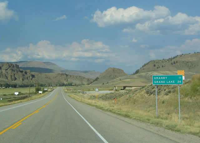
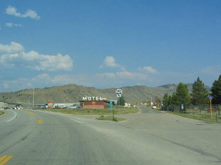
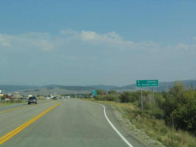
Heading east from Hot Sulphur Springs, U.S. 40 advances nine miles to Granby and 21 miles to Tabernash. An older distance sign here (replaced by 2015) listed Granby at 11 miles, and Grand Lake instead of Tabernash.
08/27/04
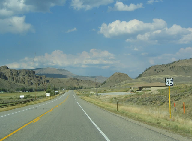
U.S. 40 leaves the Hot Sulphur Springs town limits just north of this shield assembly at Nevava Street.
08/27/04

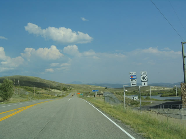
Near Windy Gap Reservoir, eastbound U.S. 40 meets the south end of SH 125. SH 125 ventures north toward Willow Creek Pass (elevation 9,621 feet), then enters Jackson County en route to Walden and the Wyoming towns of Saratoga, Encampment and Laramie as WYO 230.
08/27/04
SH 125 travels 75.41 miles overall, from U.S. 40 west of Granby to the Wyoming state line, 22 miles beyond Walden.
08/27/04
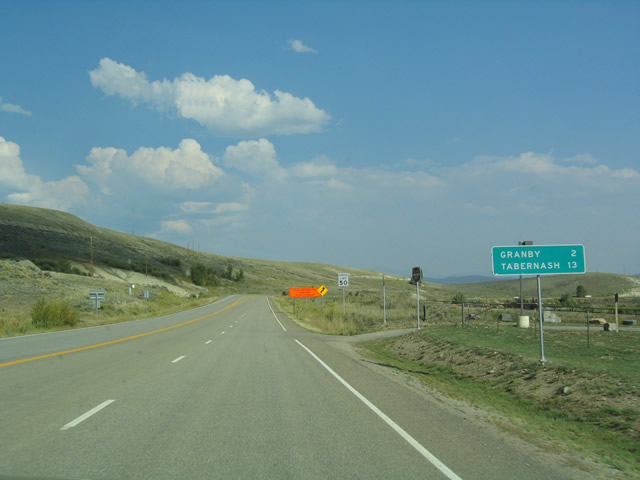
East from SH 125, U.S. 40 advances two miles to the Granby town center and 13 miles south to the community of Tabernash.
08/27/04

1.9 miles southeast of SH 125, U.S. 40 converges with the western terminus of U.S. 34 in west Granby.
08/27/04
Open only during the summer over Trail Ridge Road through Rocky Mountain National Park, U.S. 34 generally travels north between Granby, Grand Lake and Milner Pass (el. 10,758 feet).
08/27/04
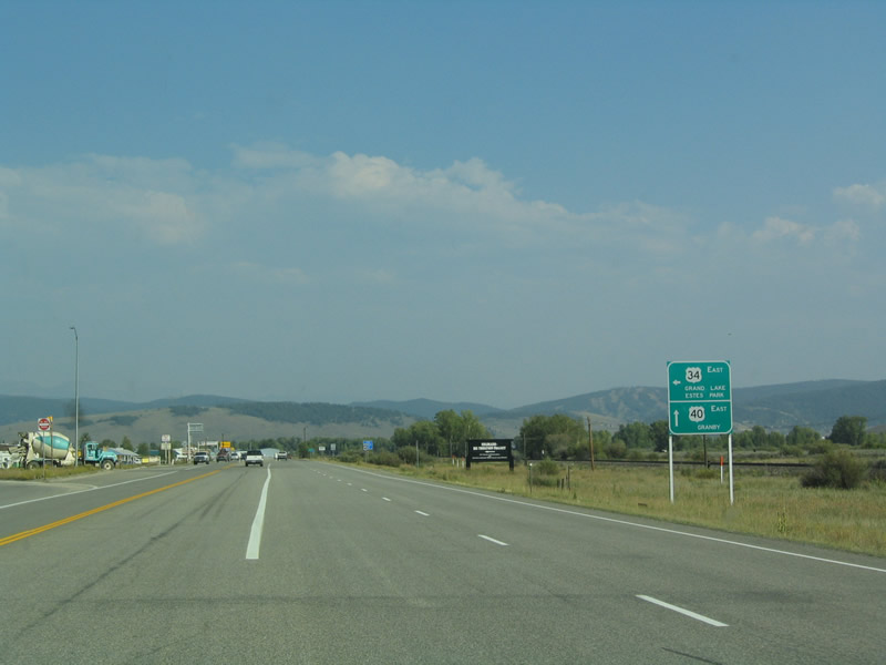
U.S. 40 turns south from Granby to Winter Park, Interstate 70 and Denver. Through Rocky Mountain National Park, U.S. 34 traverses Fall River Pass (el. 11,796 feet) and the Trail Ridge Road High Point (el. 12,183 feet) at the Gore Range. The route emerges from the park at Estes Park en route to Loveland.
08/27/04
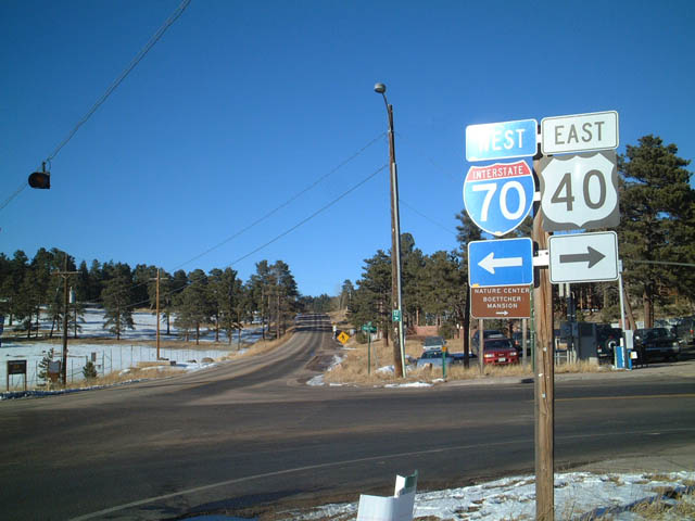
U.S. 6/40 split with Interstate 70 three miles east of Idaho Springs. U.S. 40 branches south from U.S. 6 to cross Clear Creek and parallel I-70 east between Exits 244 and 251.
09/01/04
Segment C of U.S. 40 separates from Interstate 70 at a diamond interchange (Exit 254) in Genesee Park.
02/02/02

U.S. 40 turns east at Mt. Vernon Country Club Road to parallel the freeway to Lookout Mountain Road. This recreation sign referenced several points of interest to the northeast.
02/02/02
U.S. 40 initially runs just above Interstate 70 before curving northward northward to Lookout Mountain Road on the ensuing stretch.
02/02/02
Photo Credits:
- Andy Field: 02/02/02, 08/27/04, 09/01/04
Connect with:
Page Updated Thursday May 04, 2017.