
U.S. 41

U.S. 41 travels 279 miles in the Upper Peninsula of Michigan, joining the city of Menominee with Escanaba, Marquette, Houghton, and Copper Harbor along the shores of Lake Superior. The route through the Wolverine State zig-zags as it advances north through the western end of the Upper Peninsula.
U.S. 41 Michigan Guides
North - Menominee to Powers - 57 photos
U.S. 2/41 East - Power to Rapid River - 62 photos
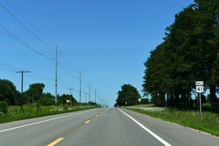
Entering Michigan from Marinette, Wisconsin, U.S. 41 initially follows Bridge Street and 10th Avenue through the Menominee street grid before turning north along 10th Street. U.S. 41 extends north into rural Menominee County, passing through several villages before meeting U.S. 2 at Powers. Turning east with U.S. 2, the two U.S. highways travel into Delta County before entering the city of Escanaba along Little Bay de Noc.
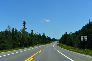
Following the western edge of Little Bay de Noc north from Escanaba, U.S. 2/41 and M-35 travel to the city of Gladstone where the state trunk highway branches northwest for Gwinn. At Rapid River, U.S. 2 turns back east for Manistique and St. Ignace while U.S. 41 continues north through Hiawatha National Forest. Entering Alger County, U.S. 41 curves northwest for Harvey, where M-28 joins the U.S. highway.
U.S. 41/M-28 enter Marquette, largest city in the Upper Peninsula, along Front Street before turning west on a four lane arterial bypassing downtown to Trowbridge Park. Beyond Negaunee, Ishpeming, and Humboldt, U.S. 41/M-28 continue on a westerly course passing Lake Michigamme ahead of Baraga County. Within central Baraga County, U.S. 41 turns north for L'Anse where M-28 branches southwest with U.S. 141 to Covington.
Lining the western shoreline of Keweenaw Bay north from L'Anse to the Houghton County line, U.S. 41 angles northwest for Chassell and Houghton. U.S. 41 initially enters the seat of Houghton County along Townsend Drive before splitting into one way couplets through downtown, reconvening to the west at M-26 (Memorial Drive). Crossing the Portage Canal Lift Bridge, U.S. 41/M-26 enter the city of Hancock. M-26 resumes an easterly course to Dollar Bay while U.S. 41 follows a second set of one way couplets west through downtown.
Leaving Hancock, U.S. 41 turns northeast for Laurium and a return of M-26. Continuing across the Keweenaw Peninsula, U.S. 41 passes through rural forested landscapes en route to Copper Harbor. Meeting a second branch of M-26 near the center of Copper Harbor, U.S. 41 turns east one final time along Gratiot Street, traveling 2.5 miles to its end opposite the entrance to Mary Macdonald Preserve at Horseshoe Harbor.
Page Updated Sunday March 01, 2026.