
Michigan Road & Highway Photo Guides

Sitemap to road and highway photo guides for Michigan.
Interstates
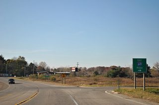
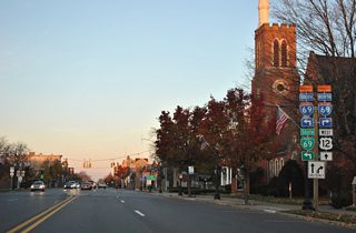
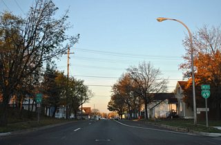
 Interstate 69
2 photos

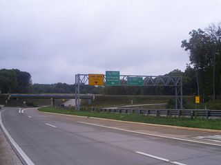
 Interstate 75
149 photos
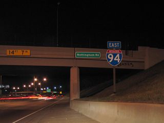
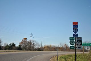
 Interstate 94
1 photos
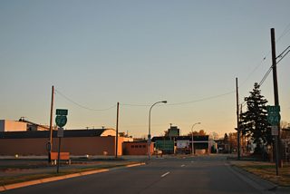
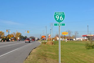
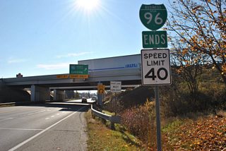
 Interstate 96
18 photos
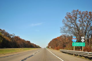
 Interstate 194 / M-66 - Battle Creek
33 photos
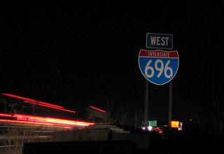
 Interstate 696
1 photos
Business Routes
 Business Loop I-69 - Coldwater
31 photos
 Business Loop I-69 - Port Huron
28 photos
 Business Loop I-94 - Battle Creek
2 photos
 Business Loop I-94 - Port Huron
32 photos
 Business Loop I-96 - Lansing
8 photos
 Former Business Spur I-96 - Portland
6 photos
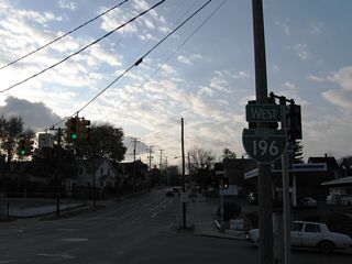
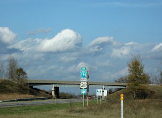
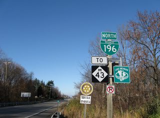
 Business Spur I-196 - Grand Rapids
7 photos
 Business Loop I-196 - Holland-Zeeland
1 photos
 Business Loop I-196 - South Haven
6 photos
U.S. Highways
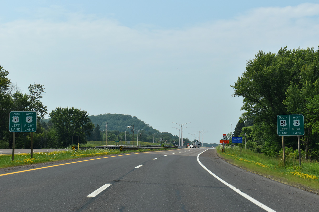
 U.S. 2
143 photos
 U.S. 23
17 photos
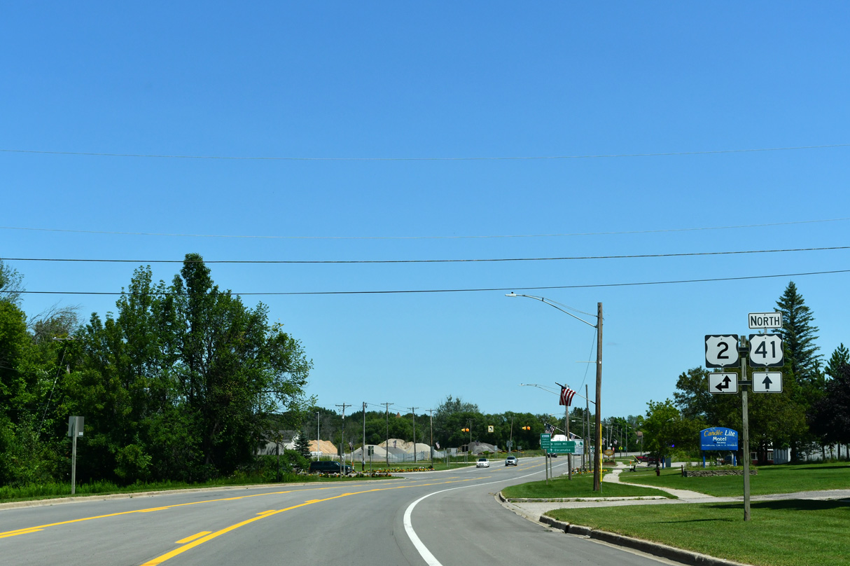
 U.S. 41
119 photos
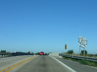
 U.S. 223
4 photos
Photo Coverage of Roads and Highways in Michigan
AARoads documents highways and roads across Michigan with route-by-route photo guides organized by direction of travel. Coverage includes Interstate Highways, U.S. Routes, and Michigan State Trunklines.
Photo guides focus on highway signage, interchanges, route markers, city limit signs, county lines, and notable points of interest along each route. Coverage emphasizes rural highways, Business Routes and state trunklines with detailed documentation of reassurance markers and route junctions. Urban guides feature multi-level interchanges and below-grade freeways.
New and updated photos for Michigan routes are added periodically and cataloged on the updates page.
Michigan Highway Nomenclature
Michigan State Trunklines are referenced with the designation of M and the route number. For instance Michigan 15 is locally known as M-15. Additionally the county designated highway system within the state utilizes A-, B-, C-, D-, E-, G-, and H- as part of the numbering convention.
Photographic Contributors
Contributions and photography for the Michigan guides from Alex Nitzman, Andy Field, Brent Ivy, Carter Buchanan and Ryan Pooya.
About Michigan
- Capital:
 Lansing
 - Nickname: Great Lake State or Wolverine State
- State Flower: Apple Blossom
- State Bird: Robin
- State Animal: Wolverine
- Total Interstate Mileage: 1,240.96
- Land Area: 57,022 square miles
- Highest Point: Mount Arvon - 1,979 feet
- Lowest Point: Lake Erie - 571 feet
- Number of Counties: 83
- Statehood: 26th state; admitted January 26, 1837
Last updated: Saturday March 7, 2026