
U.S. 41 North - Warren, Benton, Newton Counties

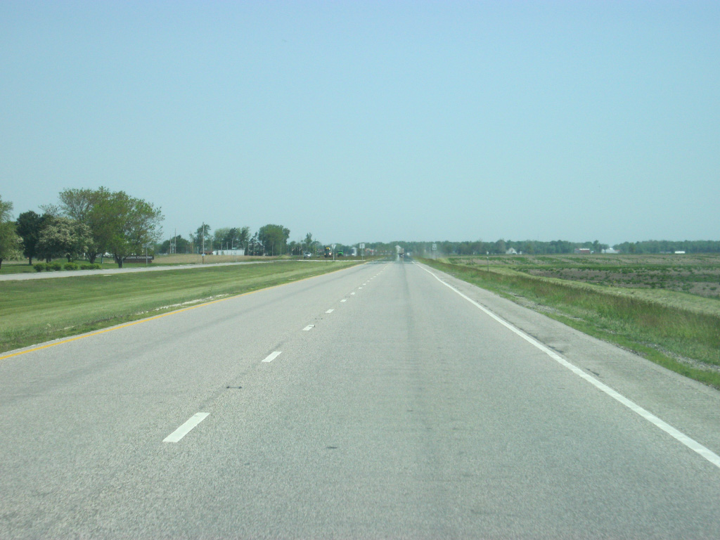
The George Rogers Clark Trail follows the Wabash River and is signed along this stretch of highway northwest of Attica.
01/03/10
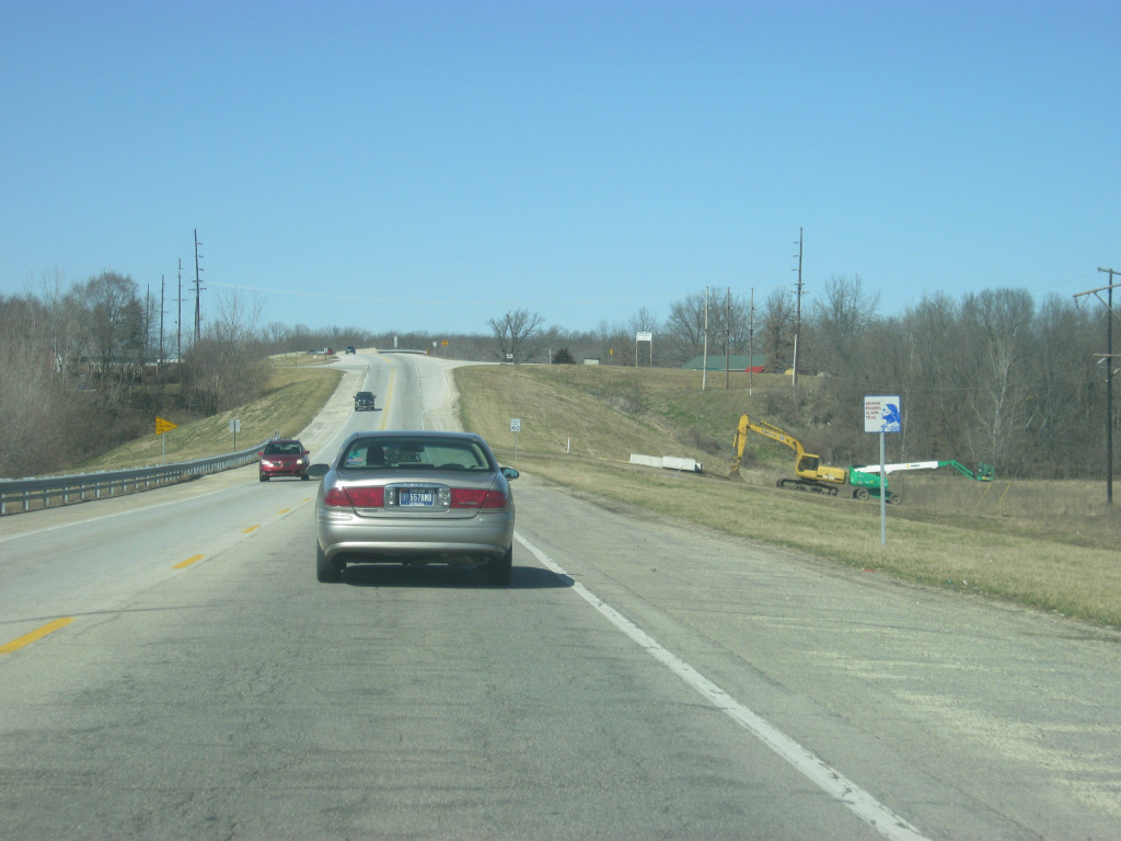
Crossing over the Norfolk Southern Railroad, U.S. 41/SR 28 near their split with SR 55 north.
01/03/10
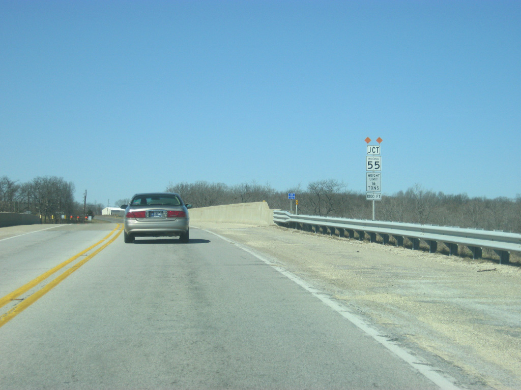
There are not too many communities for SR 55 to the north of Attica. Pine Village is the next community of any size along the state road, 10.4 miles to the north.
01/03/10
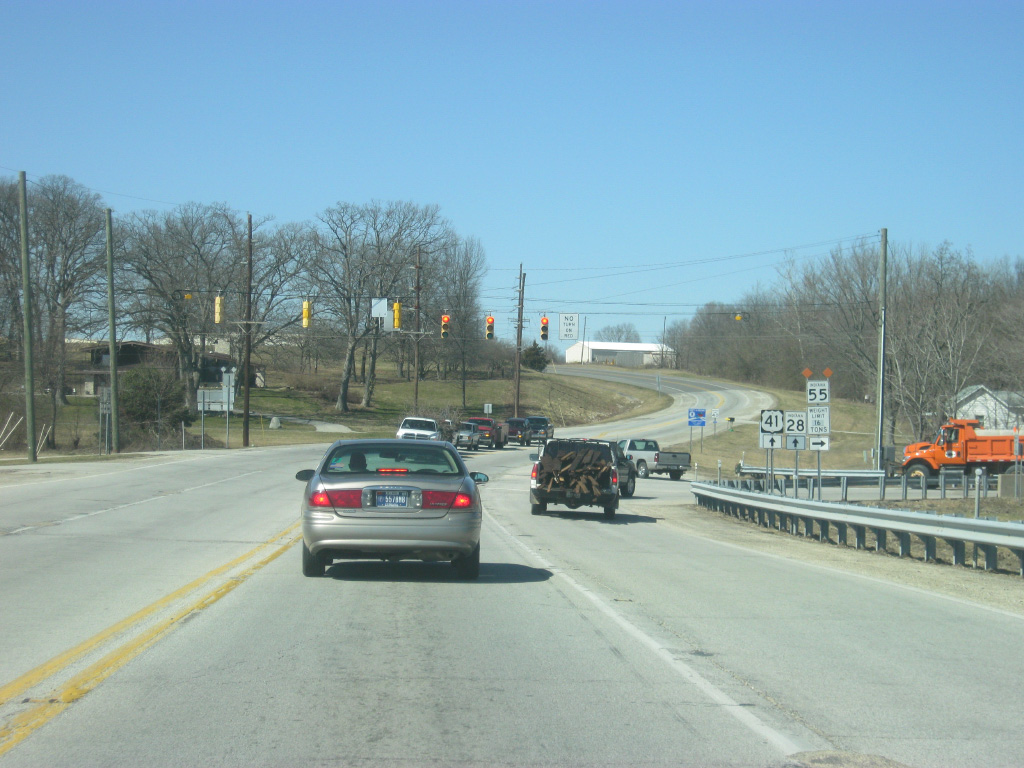
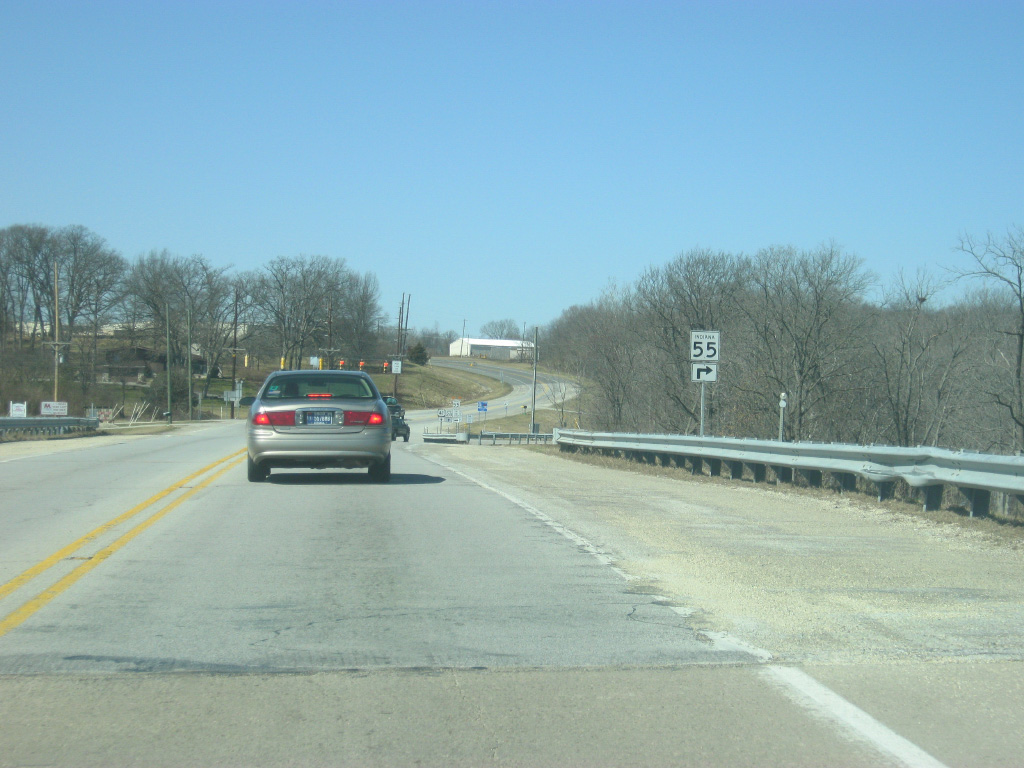
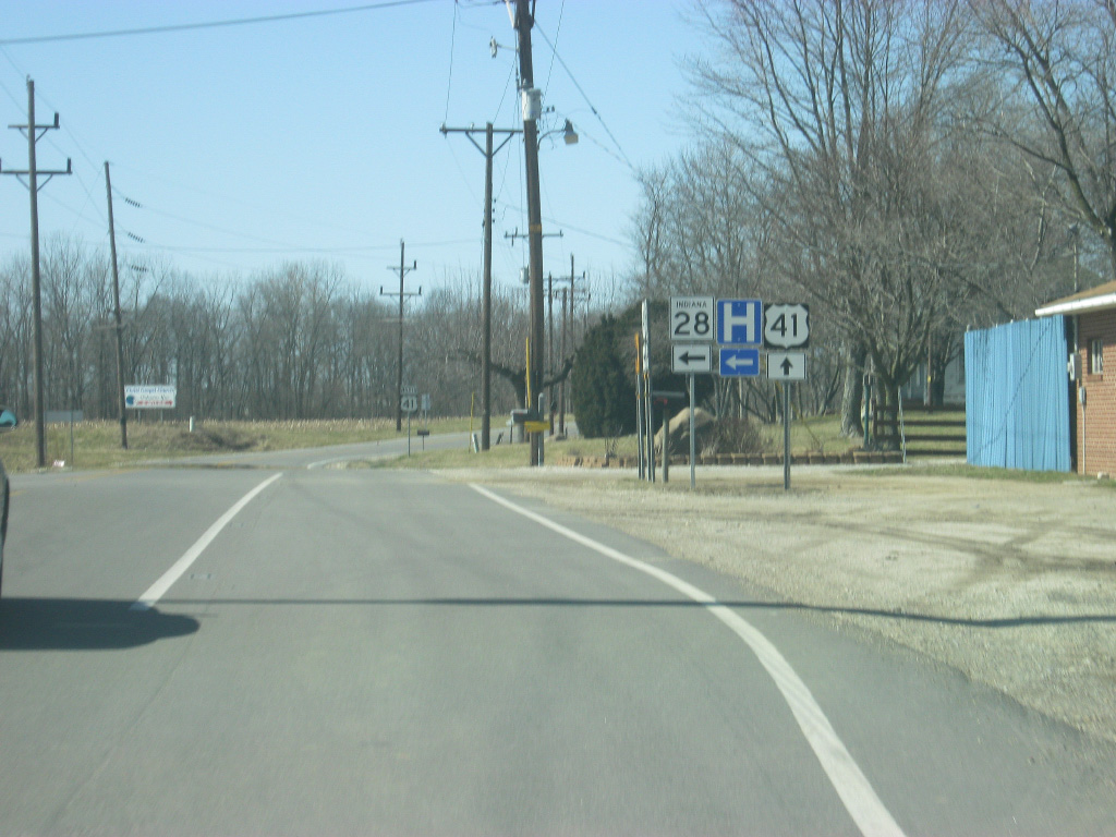
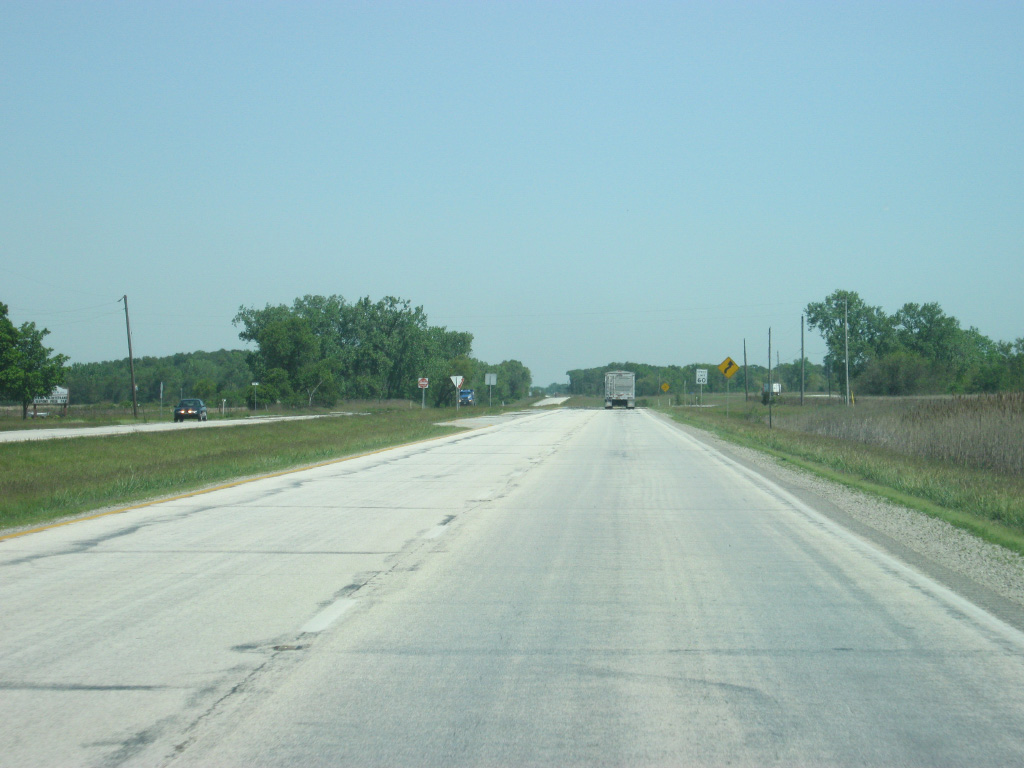
U.S. 41/SR 28 part ways with SR 55 north at a signalized intersection.
01/03/10
North 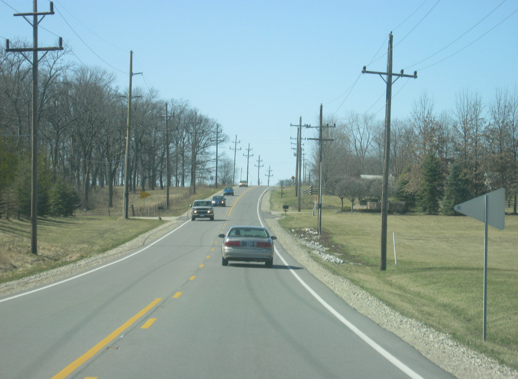
U.S. 41/SR 28 turn to the west as they continue to the Williamsport area.
01/03/10
U.S. 41 and SR 28 approach their split to the north of the town of Williamsport.
01/03/10
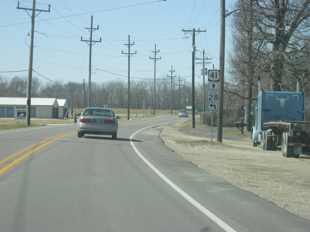
The Warren County seat of Williamsport is one mile to the south via SR 28 west off of U.S. 41. From there, SR 28 continues west toward West Lebanon and the SR 63 expressway.
01/03/10
SR 28 turns off of U.S. 41 for the town of Williamsport. The St. Vincent Hospital Williamsport is located in town and serves both Williamsport and Attica. Therefore there is plenty of traffic that travels in between the two communities.
01/03/10
North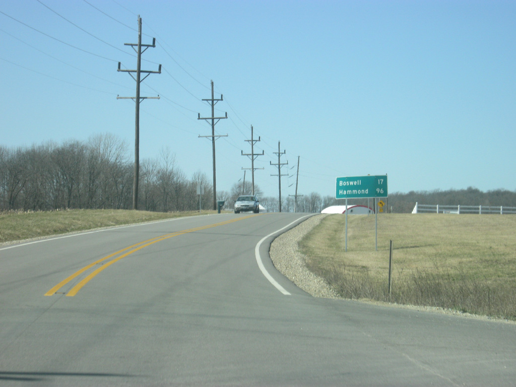
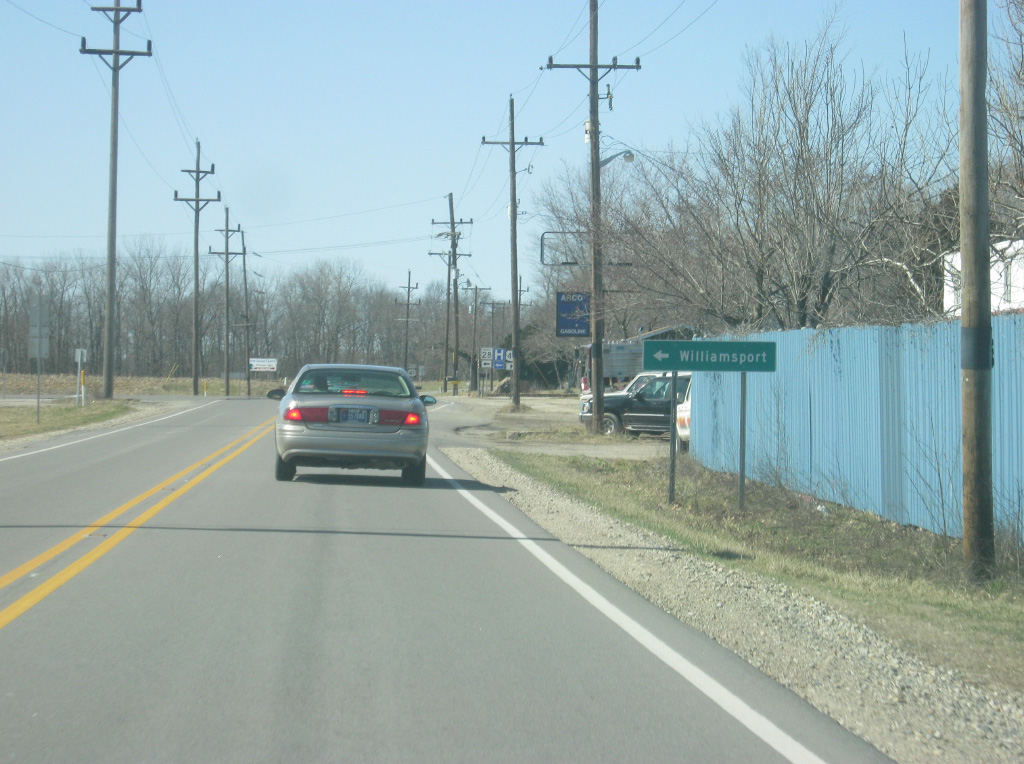
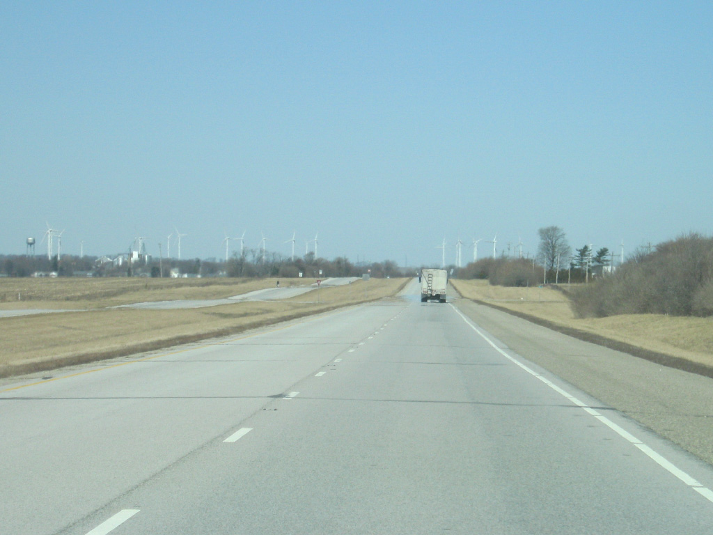
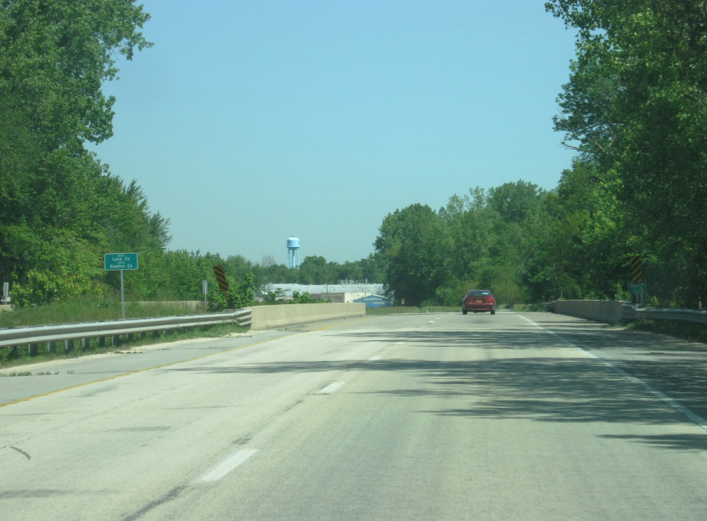
North of the split with SR 28 west, U.S. 41 is by itself once again. Boswell is the next community of interest at 17 miles with Hammond now 96 miles away.
01/03/10

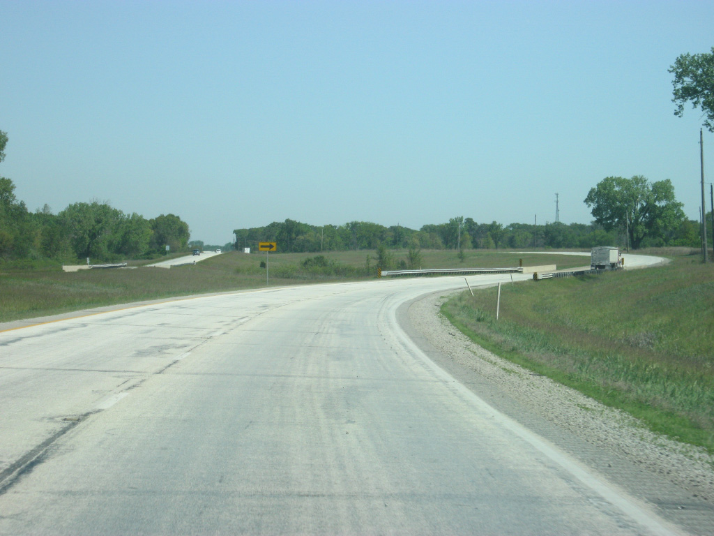
It's a five mile trip between SR 28 west and the end of the SR 63 expressway, where U.S. 41 becomes a four lane highway once again.
01/03/10
There is no access to SR 63 south via the forthcoming wye interchange on U.S. 41 north. Instead County Road 200 North west from Twin Bridges Road, which meet U.S. 41 ahead, connects the US route with the state road south toward West Lebanon.
01/03/10
U.S. 41 now meets the northern end of the SR 63 expressway. Where SR 63 ends, U.S. 41 picks up as it resumes being the major highway across Western Indiana.
01/03/10
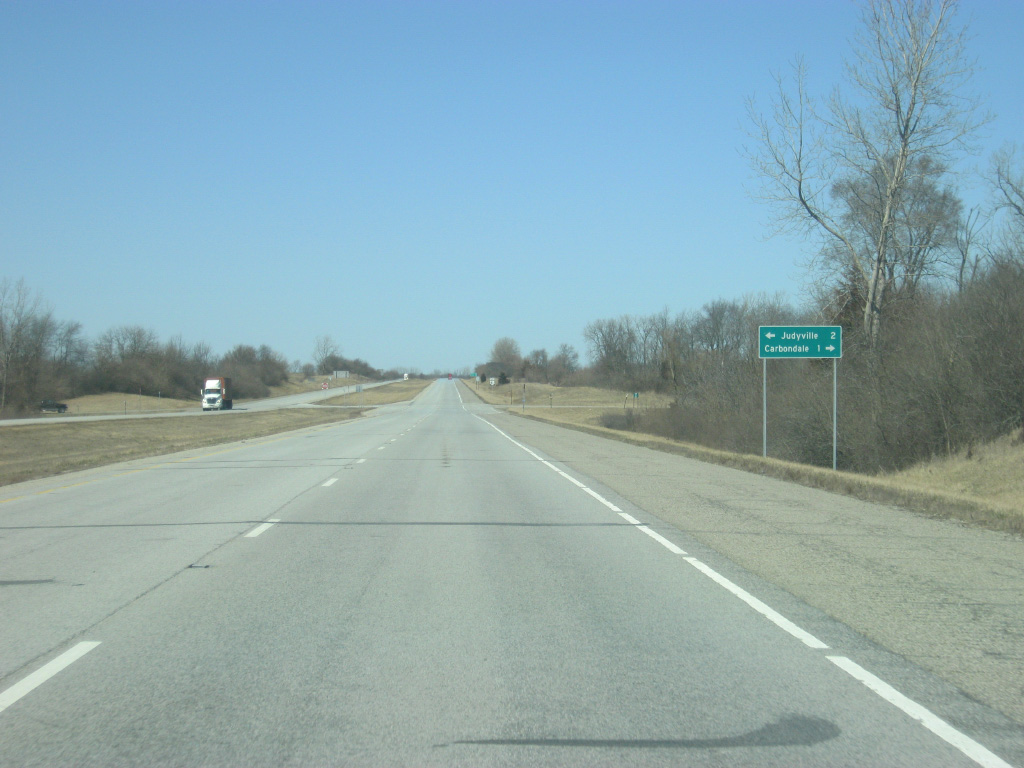
Now back on the four lane U.S. 41 expressway, the intersection with County Road 300 North connects U.S. 41 with Judyville two miles to the west and Carbondale one mile to the east.
01/03/10
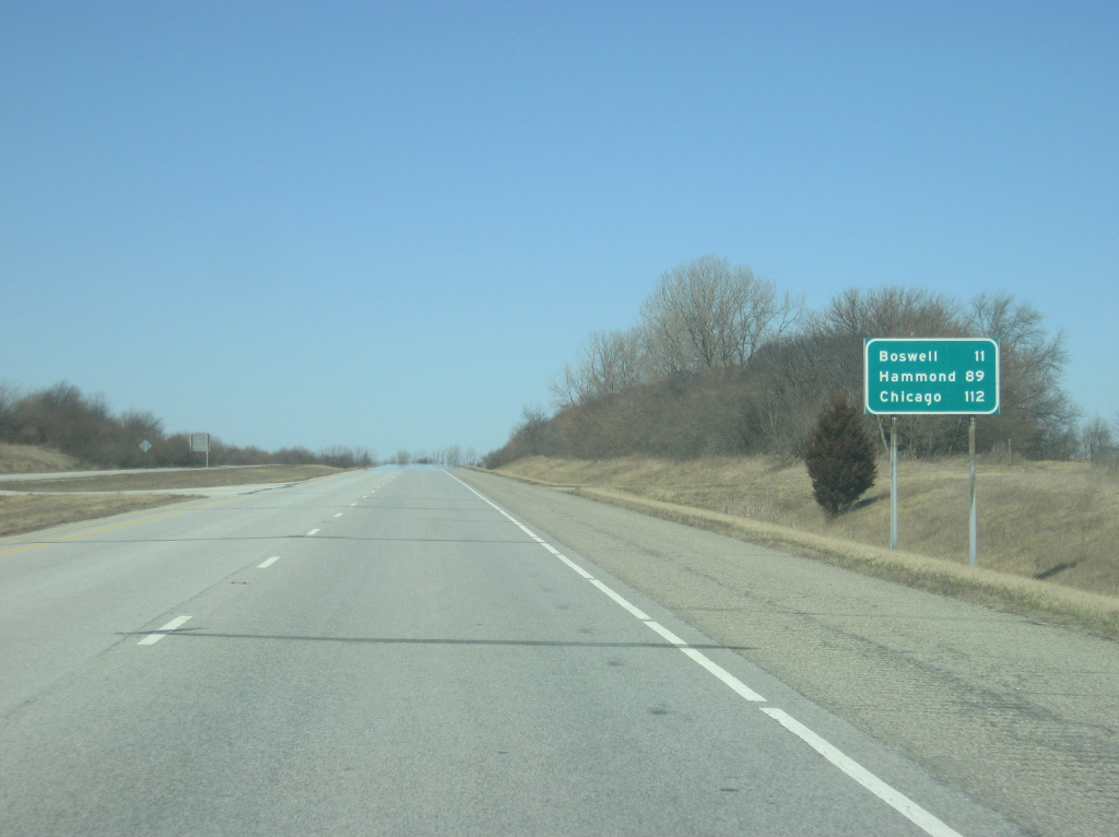
North of the intersection with County Road 300 North, U.S. 41 is 11 miles from Boswell. Hammond is 89 miles up the road with Downtown Chicago, Illinois coming in at 112 miles. It is a two-and-a-half hour trip from this point to the Chicago Loop.
01/03/10
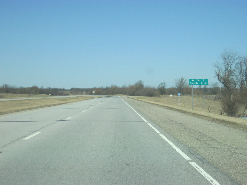
U.S. 41 crosses the intersection with County Road 650 North. From here it is a five mile drive to Tab and a three mile drive to Rainsville.
01/03/10
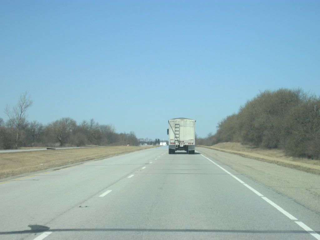
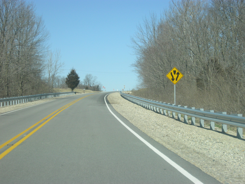
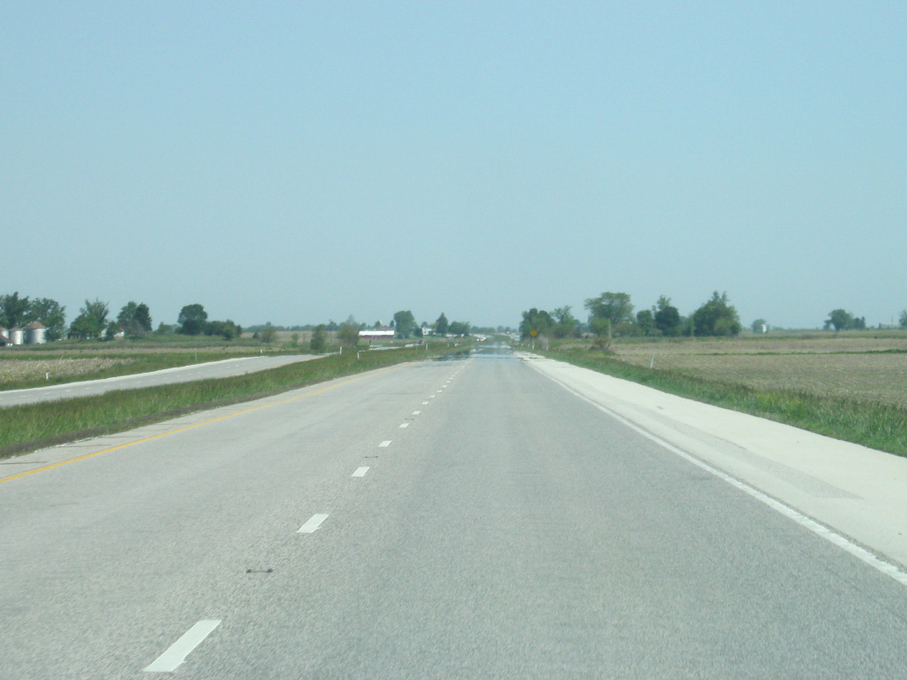
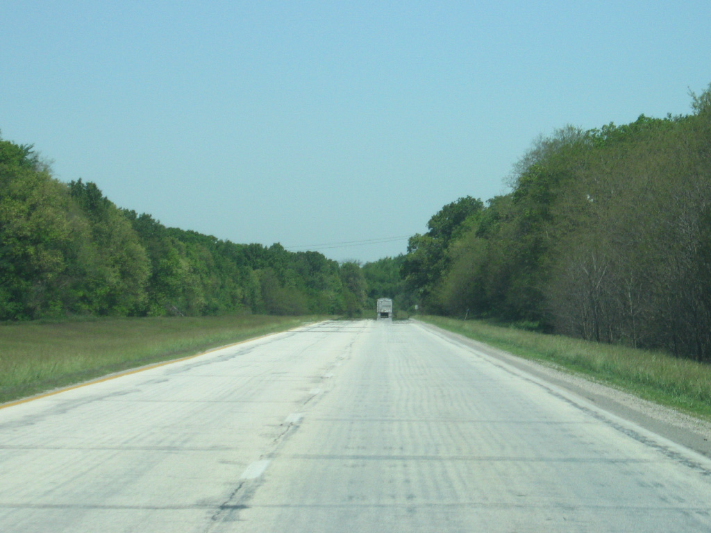
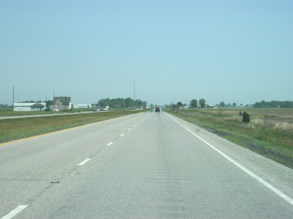
It is not an understatement to say that there is very little along U.S. 41 in this part of Indiana. With the exception of perhaps some very rural parts in Southern Indiana, this is the least populated region in the state, and with low traffic is a very comfortable, albeit boring, drive north along U.S. 41.
01/03/10
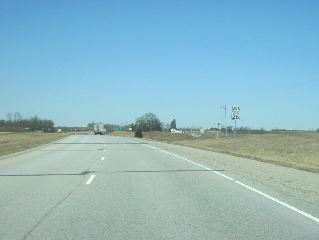
U.S. 41 nears the intersection with SR 26 east. SR 26 goes for 150 miles across the state from the Illinois state line east through Lafayette, Rossville, Fairmount, Upland and Portland before crossing into Ohio near Fort Recovery.
01/03/10
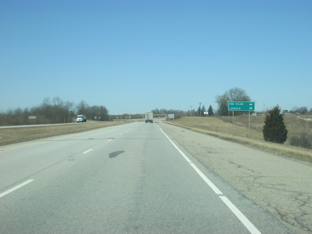
Pine Village is 7.3 miles to the east of U.S. 41 off of SR 26 east. Lafayette, the largest city in this region and county seat of Tippecanoe County, is about 25 miles to the east.
01/03/10
SR 26 multiplexes with U.S. 41 to the north of this intersection while SR 26 heads east toward Pine Village. County Road 950 North continues the road to the west as a very minor county road.
01/03/10
North 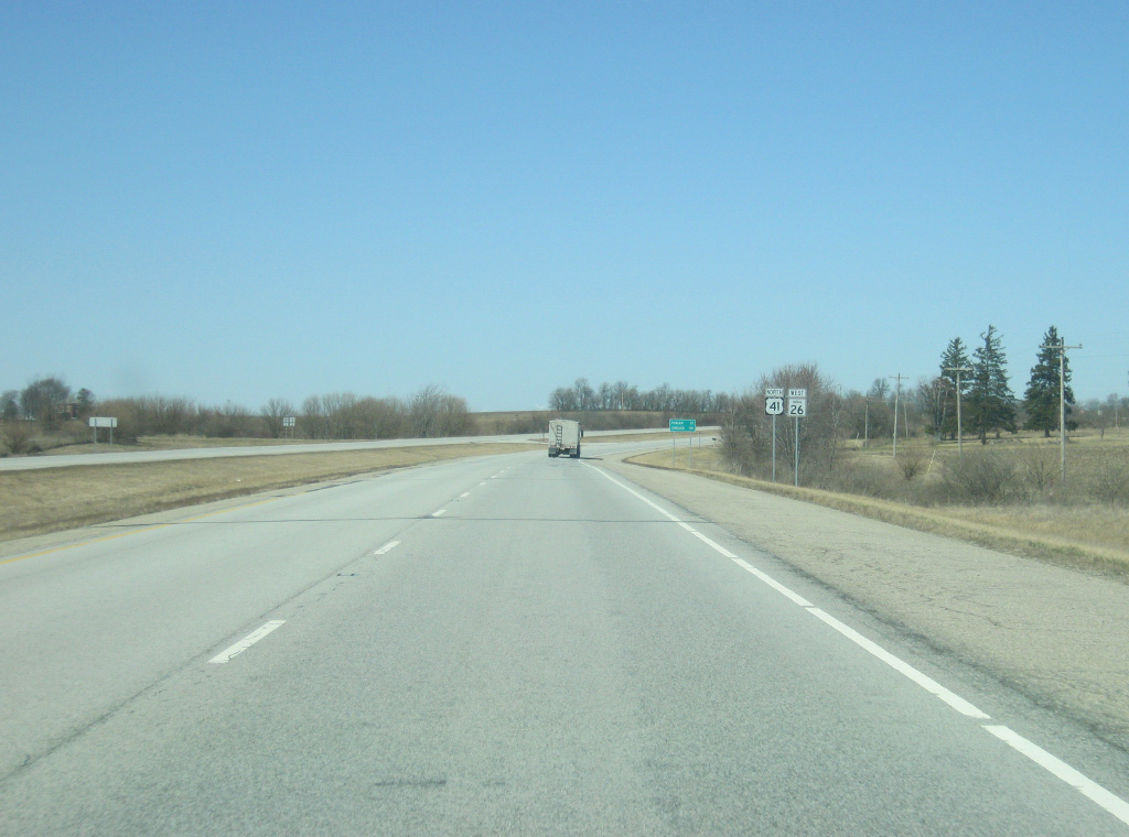
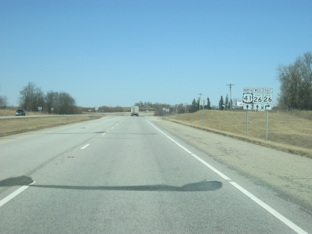
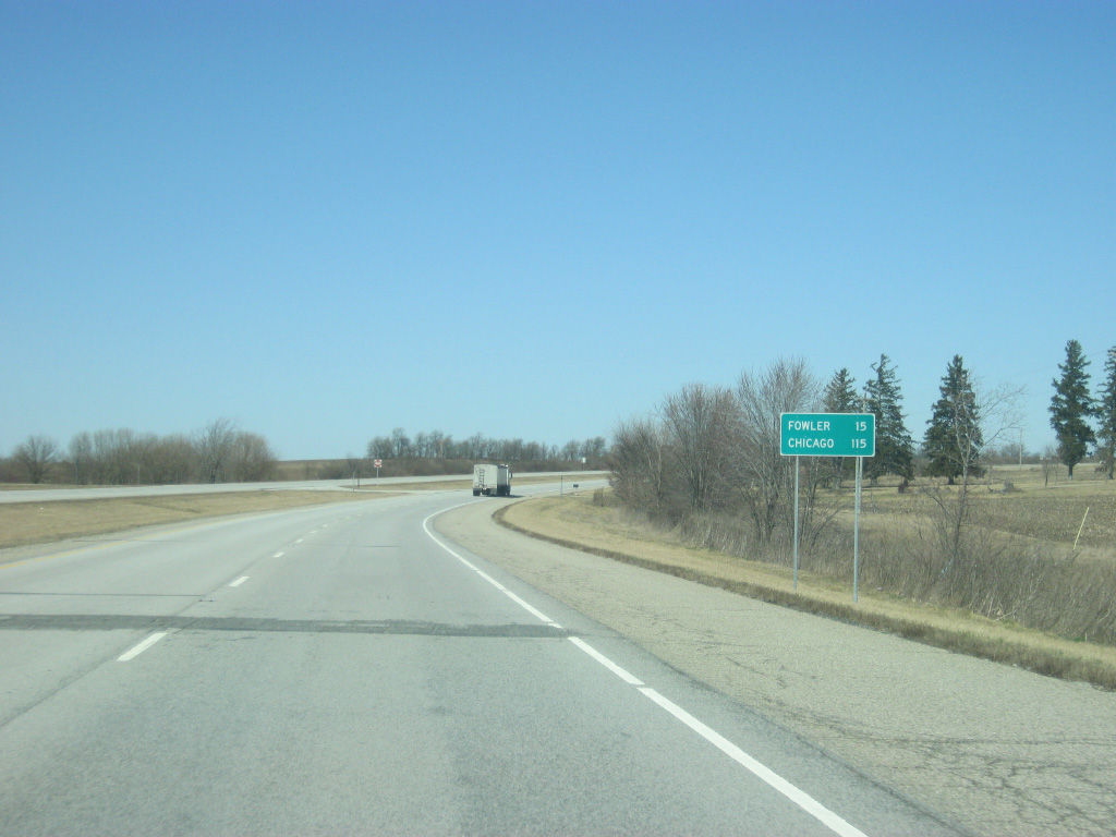
U.S. 41/SR 26 combine for a short distance as the expressway advances to within 15 miles of the Benton County seat of Fowler. Chicago is 115 miles away.
01/03/10
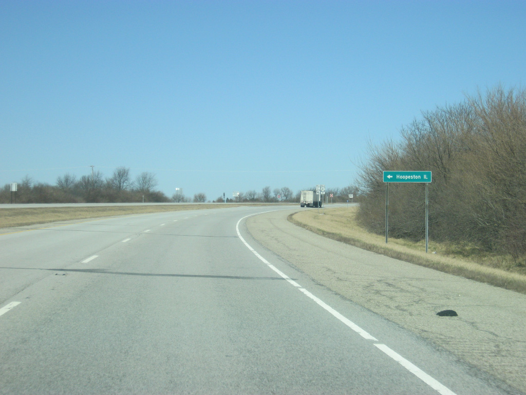
SR 26 turns west from U.S. 41 along a 17 mile course to Hoopeston, Illinois.
01/03/10

SR 26 goes for almost eight miles before it leaves the state of Indiana at the junction with SR 352. At the state line it becomes Illinois 9 which continues west across the state of Illinois passing through Bloomington and near Peoria before ending by the Mississippi River in Dallas City.
01/03/10
SR 26 west departs U.S. 41.
01/03/10
North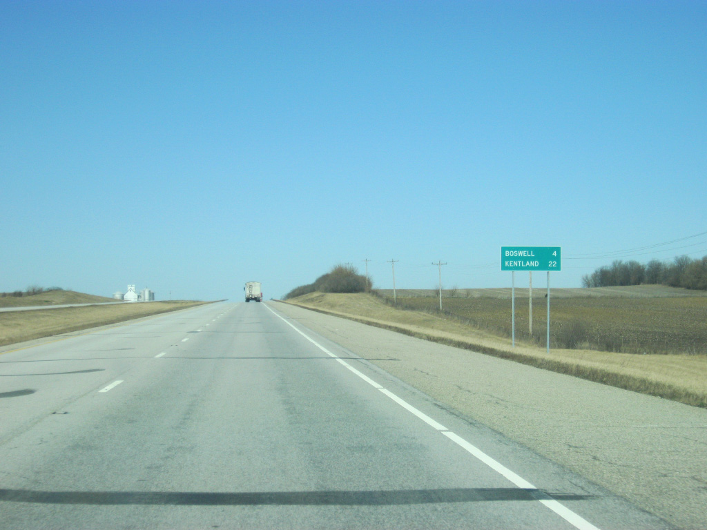
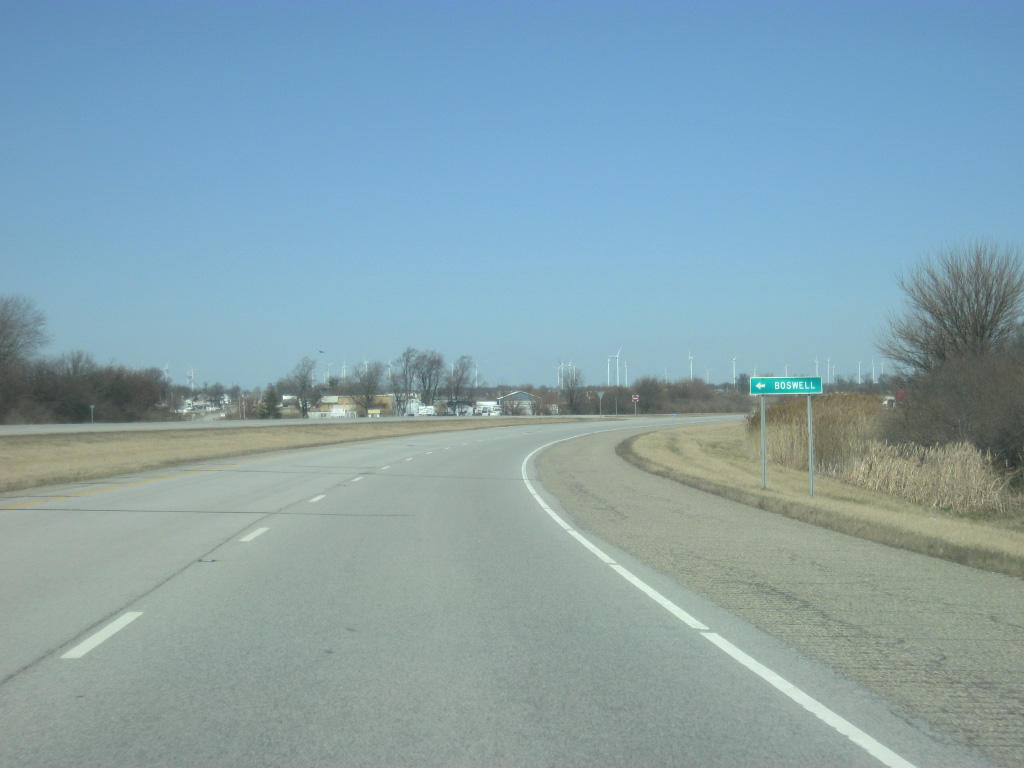
The town of Boswell lies four miles ahead, followed by Kentland in 22 miles.
01/03/10
North of the junction with SR 26 west, U.S. 41 enters Benton County (population 8,854).
01/03/10
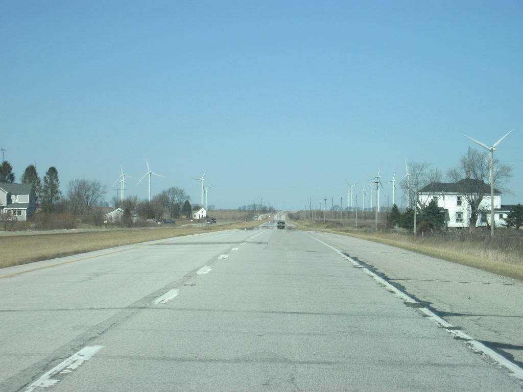
As U.S. 41 nears the community of Boswell and the wind turbines of the Fowler Ridge Wind Farm appear, giving the view a little diversity.
01/03/10
Old U.S. Highway 41 turns off to the north and follows the U.S. highway's original routing into the town of Boswell. The expressway will bypass the town to the immediate east.
01/03/10
Now bypassing the town of Boswell, the Fowler Ridge wind turbines get a little closer as U.S. 41 nears the crossing over the Kankakee, Beaverville and Southern Railroad.
01/03/10
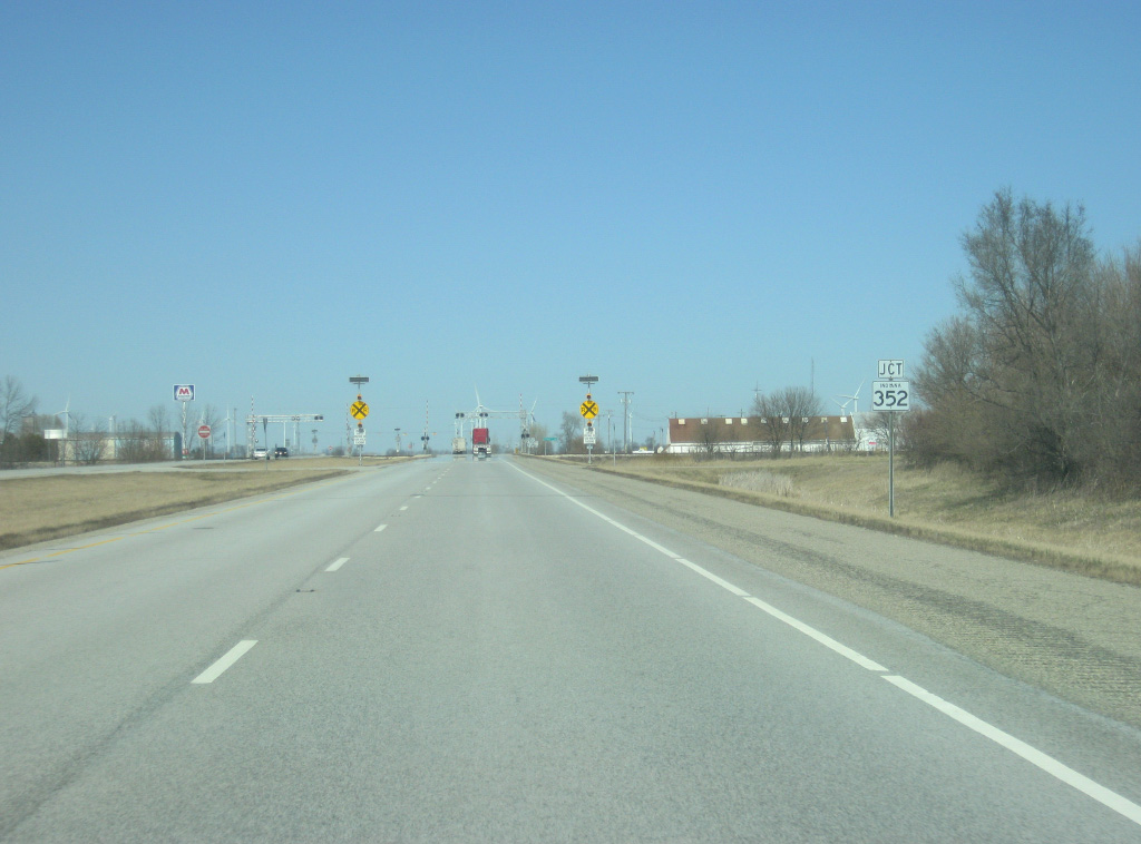
Coming up to the intersection with SR 352, which travels for 20 miles from the junction with SR 26 at the Illinois state line and east through Boswell and Oxford to its eastern end at U.S. 52.
01/03/10
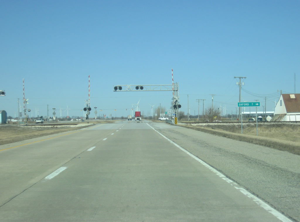
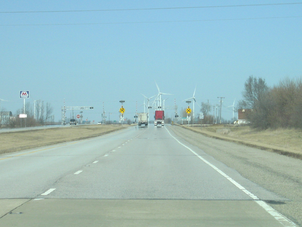
U.S. 41 crosses the Kankakee, Beaverville and Southern Railroad just south of the intersection with SR 352. The town of Oxford is seven miles to the east along SR 352.
01/03/10
A flashing light marks the intersection with U.S. 41 and SR 352. The business district for Boswell lies just to the west of the expressway. The town of Boswell is nicknamed the "Hub of the Universe." While it sounds like a very supercilious claim, it dates to the 1930s when the high school principal of Boswell High School proclaim to their students that Boswell was the hub of the universe "because you can start from Boswell and go anyplace in the world."
01/03/10
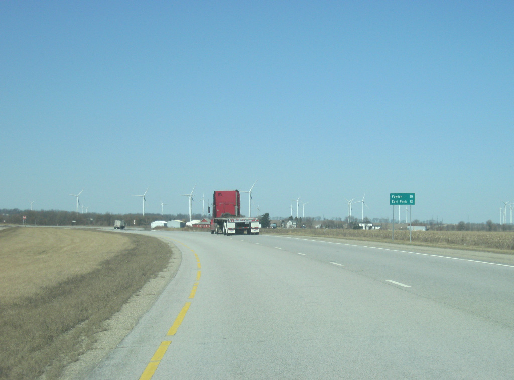
Leaving the "Hub of the Universe," U.S. 41 is ten miles from Fowler and 12 miles from the town of Earl Park.
01/03/10
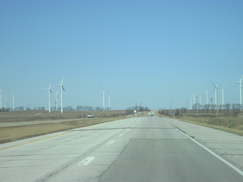
North of Boswell, U.S. 41 starts to enter the Fowler Ridge Wind Farm. The wind farm is the largest in Indiana and contains around 350 wind turbines that span a linear path that crosses U.S. 41 to the south of the town of Fowler.
01/03/10
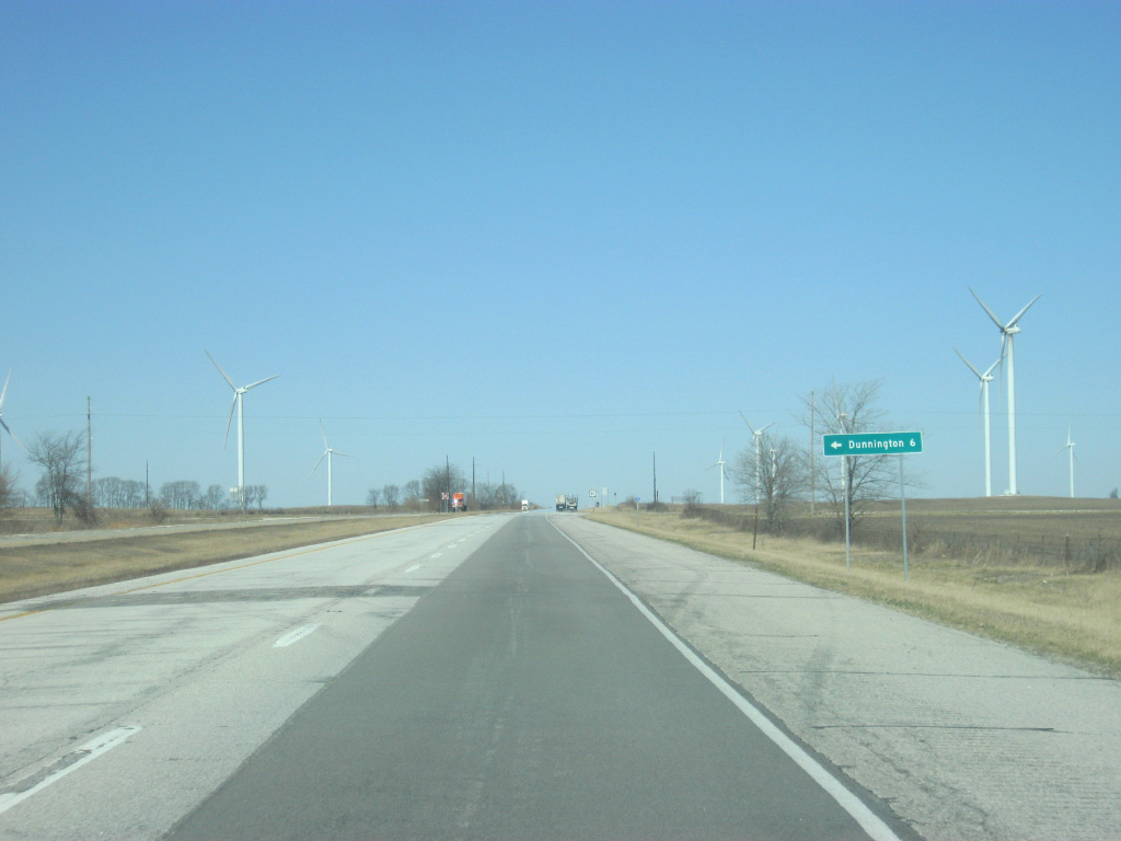
County Road 300 South connects U.S. 41 with the town of Dunnington, six miles to the west.
01/03/10
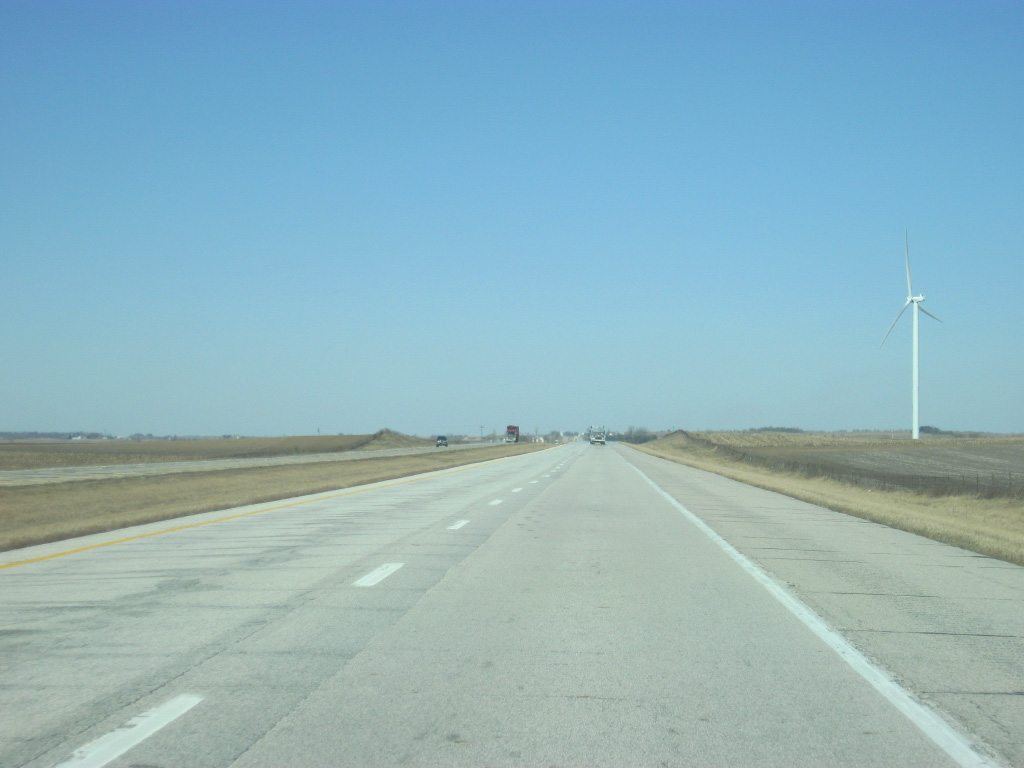
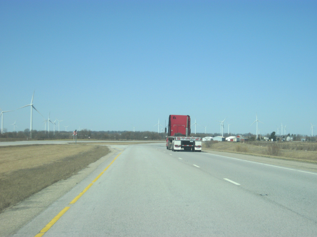
A lone wind turbine can be viewed as U.S. 41 heads north from the intersection with County Road 300 South and out of the Fowler Ridge Wind Farm.
01/03/10
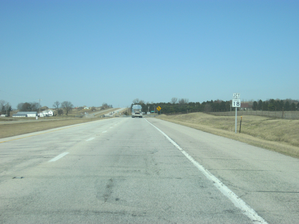
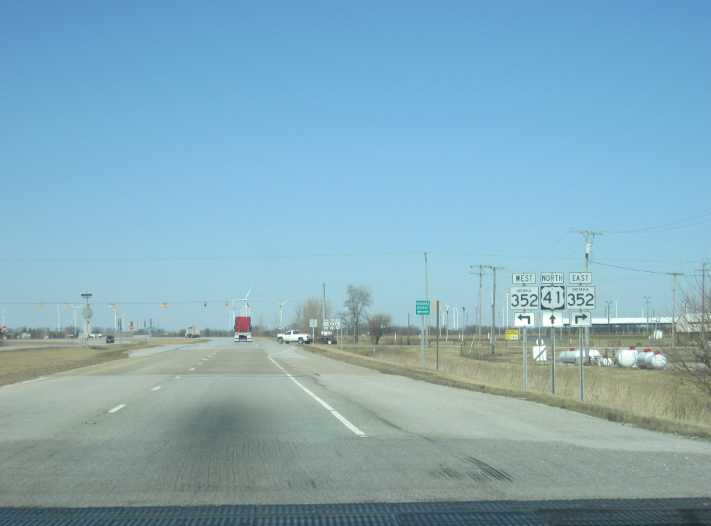
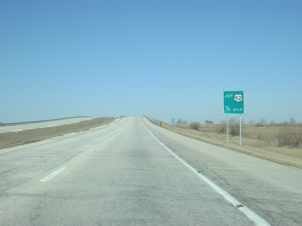
U.S. 41 nears the intersection with SR 18, which goes for 141 miles from the Illinois border to U.S. 27 in Bryant. The highway travels through Fowler, Delphi, Galveston, Converse, Marion and Montpelier along its route.
01/03/10
The Benton County seat of Fowler is located three miles to the east along SR 18 at the junction with SR 18 and U.S. 52.
01/03/10
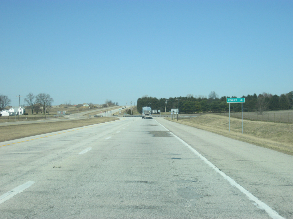
U.S. 41 crosses SR 18 to the west of Fowler. The small communities of Free and Freeland Park are several miles to the west.
01/03/10
North of the intersection with SR 18, U.S. 41 is 11 miles away from Kentland. Chicago is now 94 miles away.
01/03/10
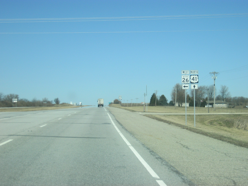
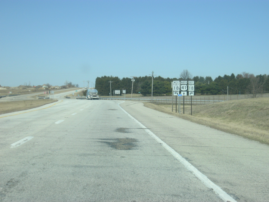
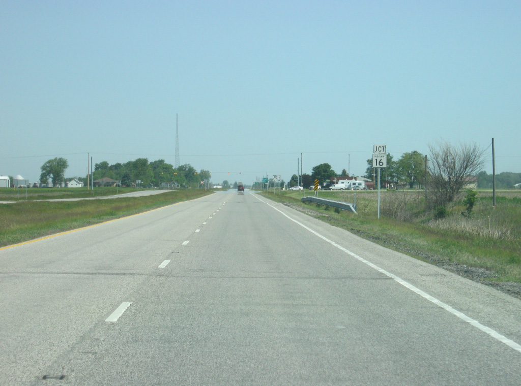
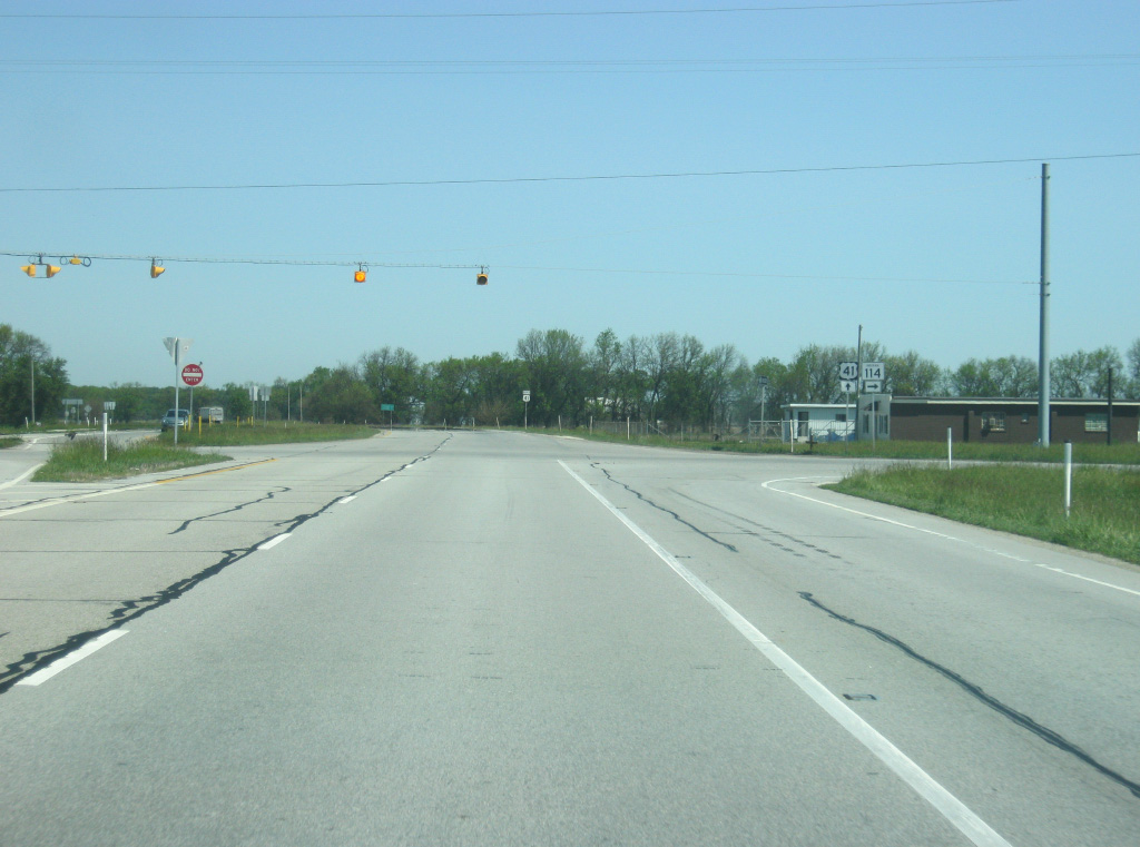
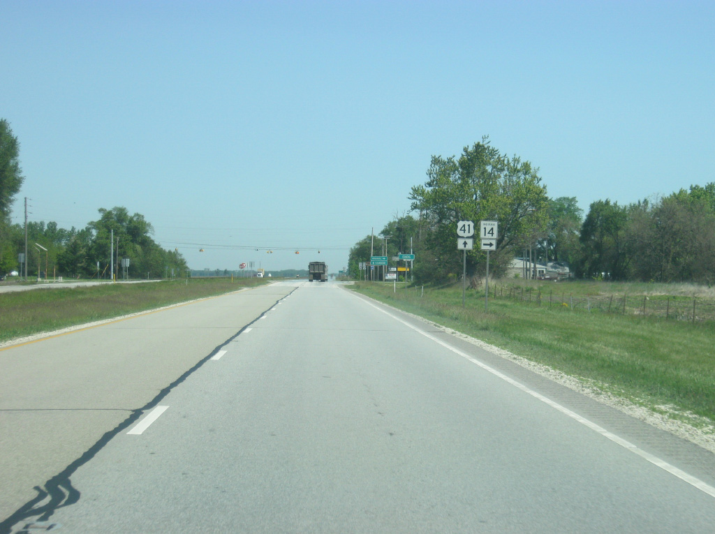
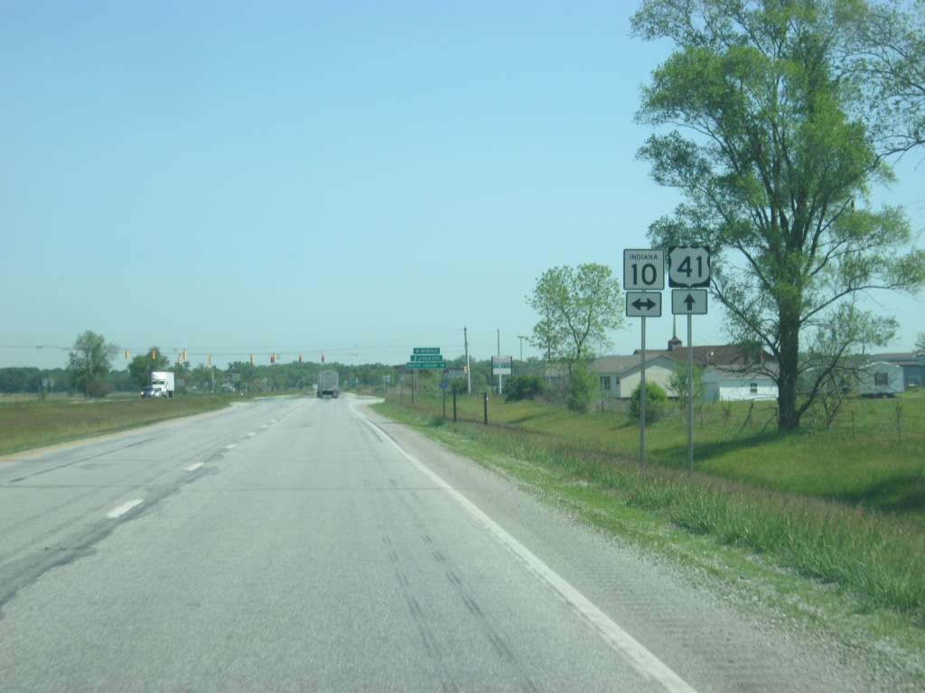
U.S. 41 now nears the junction with U.S. 52, which comes in from the southeast along a four lane expressway that stretches down toward Fowler, Otterbein and the twin cities of Lafayette-West Lafayette. Prior to Interstate 65's construction, U.S. 52 and U.S. 41 formed the primary highway between Indianapolis, Lafayette and Chicago.
01/03/10
North  West
West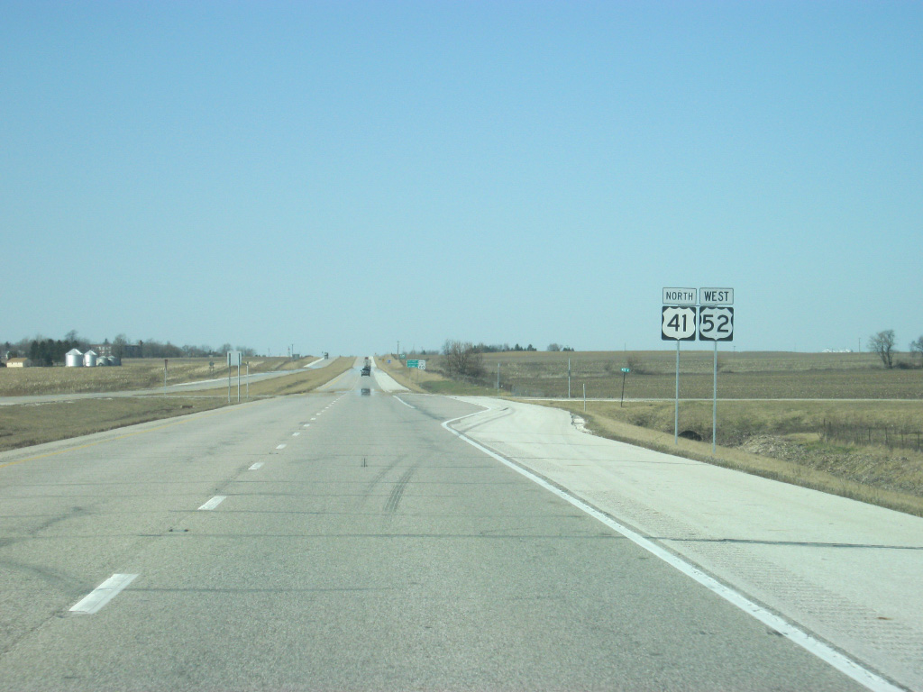
U.S. 52 joins U.S. 41 as the two highways multiplex north to Kentland. U.S. 52 goes for 2,072 miles from the Canadian border in Portal, North Dakota to the Atlantic Ocean in Charleston, South Carolina. In Indiana, U.S. 52 travels for 171 miles from west of Kentland, through Lafayette, Lebanon, Indianapolis, Rushville and Brookville before leaving along Interstate 74 near Harrison, Ohio.
01/03/10
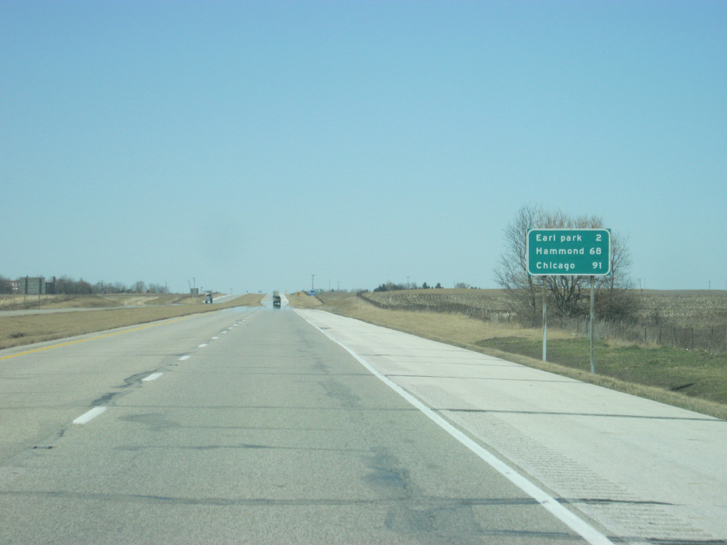
It's a three mile drive to the community of Earl Park (notice the lower-case letter p in Park). Hammond and Chicago follow at 68 and 91 miles respectively.
01/03/10
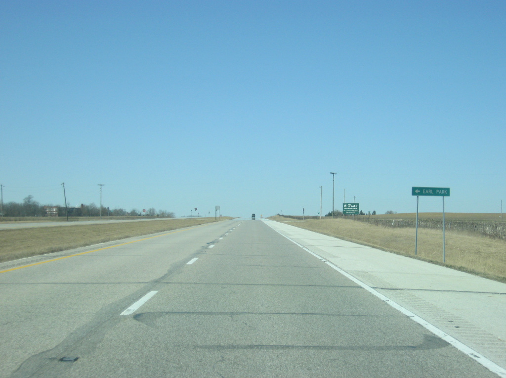
County Road 500 North leads west from U.S. 41/52 into the town of Earl Park, which the expressway bypasses to the east.
01/03/10
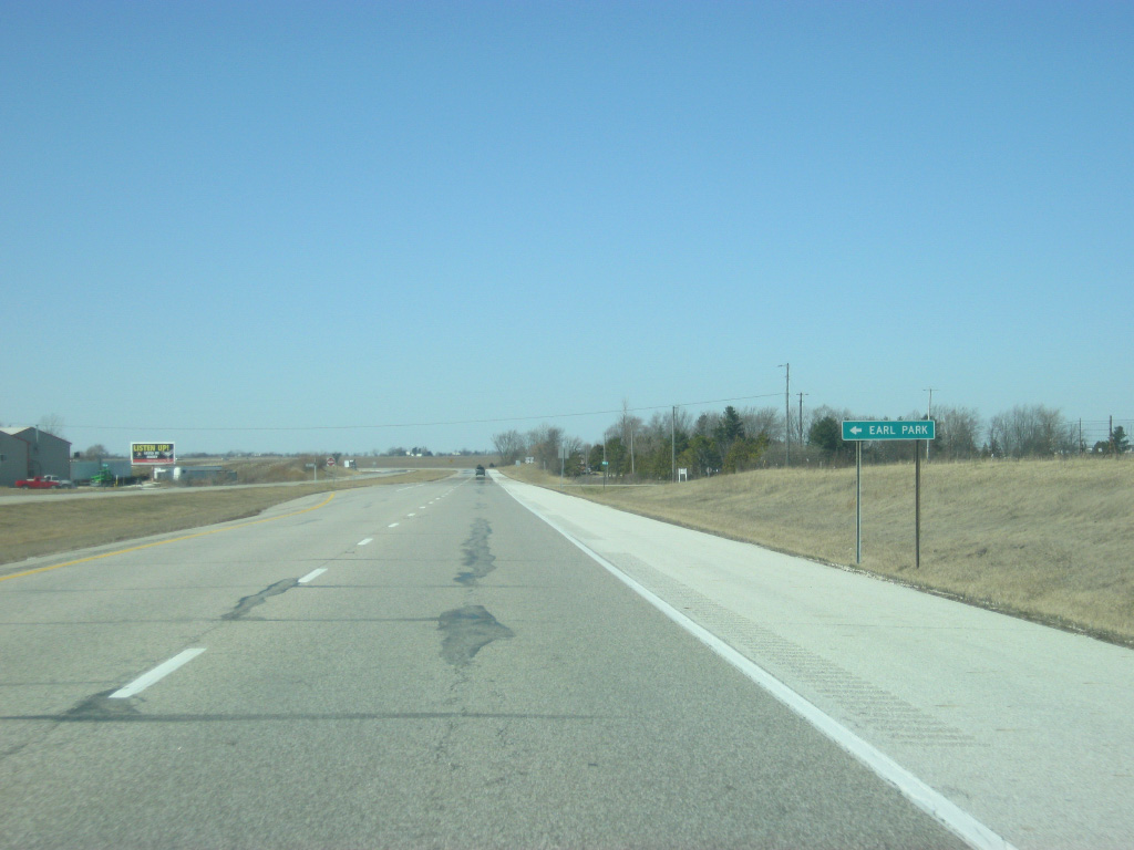
County Road 550 North provides another access point into Earl Park off of U.S. 41/52.
01/03/10
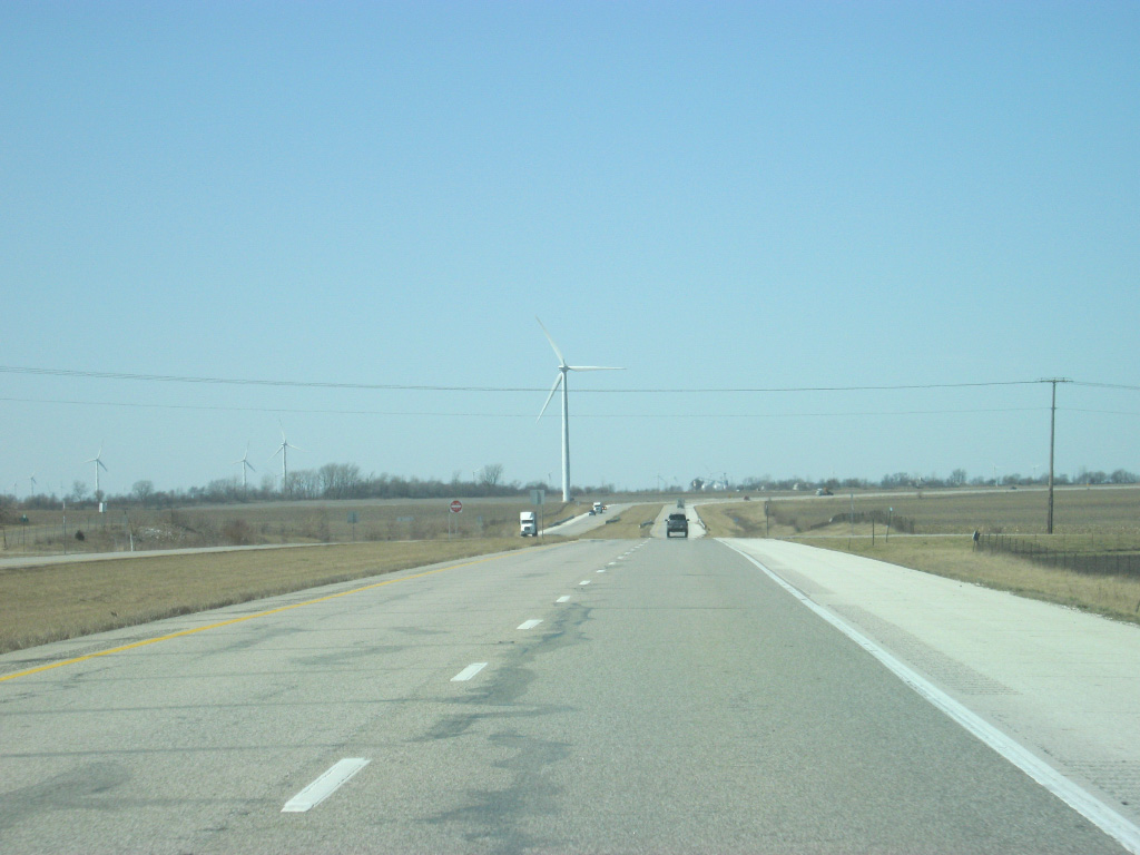
Since merging with U.S. 52, U.S. 41 has been going northwest, but the turn back to the north is up ahead. Wind turbines that are a part of the Benton County Wind Farm can be viewed to the west. The Benton County Wind Farm was the first wind farm built in Indiana and can be viewed by travelers heading south toward Kentland along U.S. 41 for several miles.
01/03/10
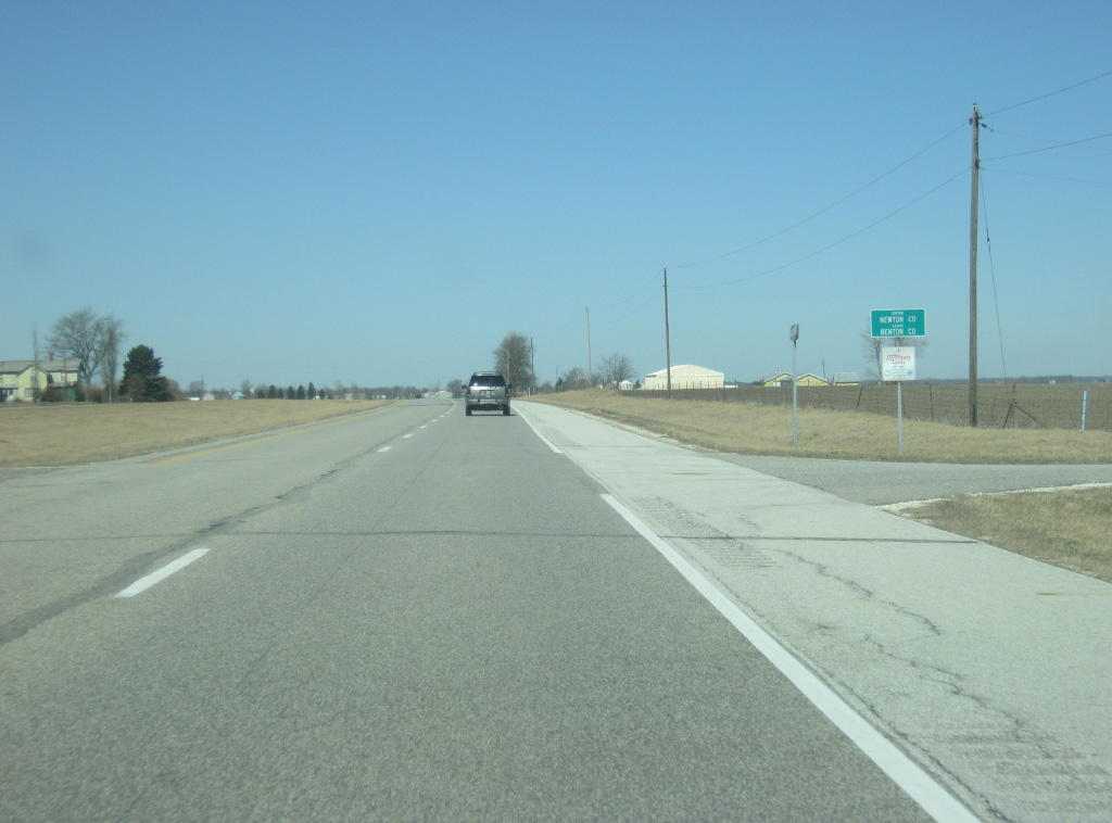
U.S. 41 enters Newton County (population 14,244). Crossing into Newton County, U.S. 41 reenters the Central Time Zone and also officially enters the Chicago metropolitan area, although signs of actual development are still many miles away to the north. In any case, the further north along U.S. 41 you travel the closer to Chicago's sphere of influence you get.
01/03/10
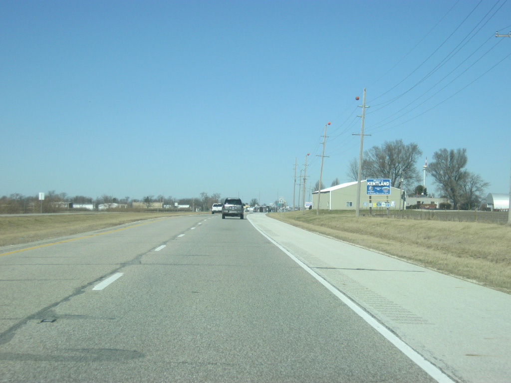
Upon entering Newton County, U.S. 41 enters the town of Kentland (population 1,748). Newton County is one of the few counties in Indiana where the seat is not centrally located as the county seat of Kentland is located in the southwest corner of the county. Multiple county offices though are located in Morocco further to the north.
01/03/10
Upon entering Newton County, U.S. 41 enters the town of Kentland (population 1,748). Newton County is one of the few counties in Indiana where the seat is not centrally located with Kentland in the southwest corner of the county. Multiple county offices though are located in Morocco further to the north.
01/03/10
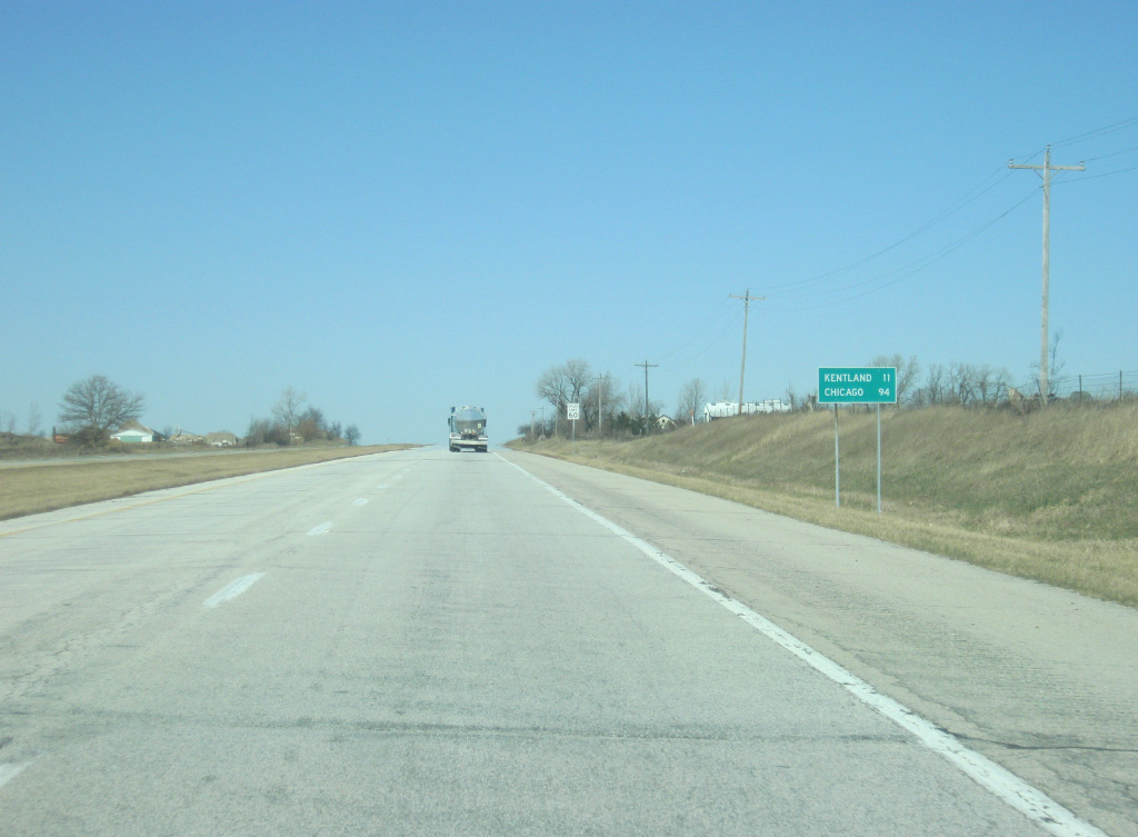
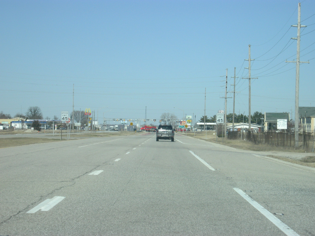
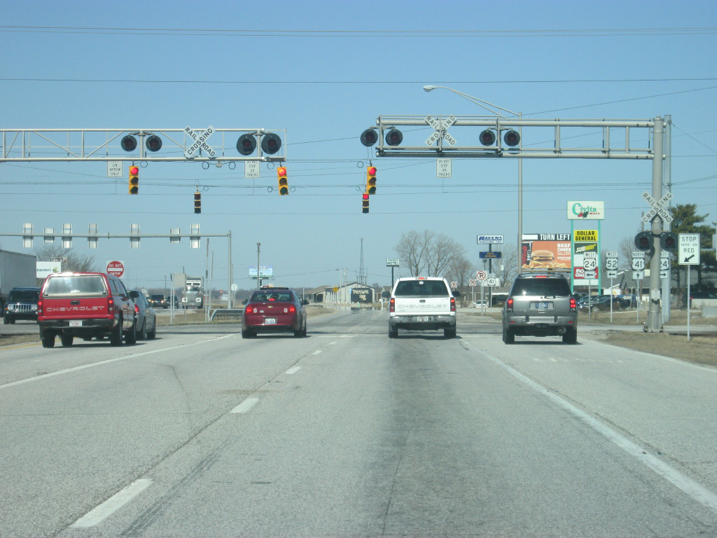
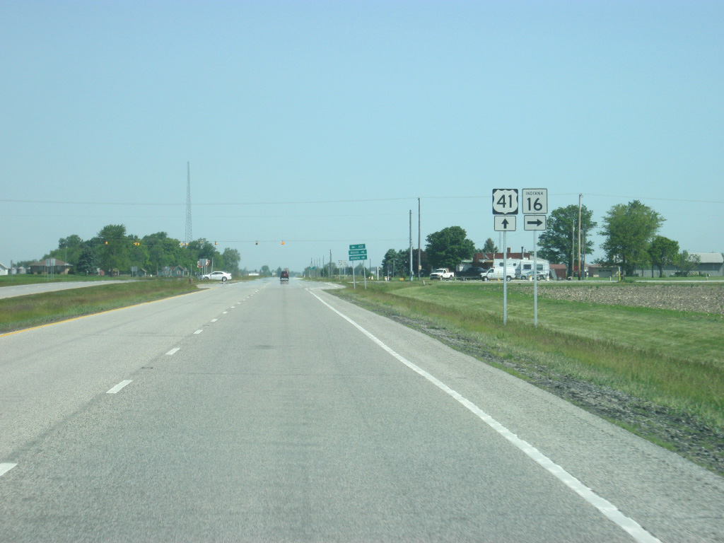
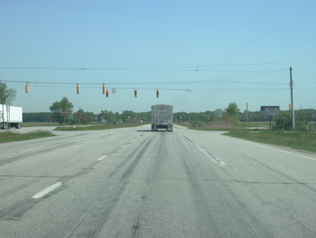
U.S. 41/52 comes across the first set of stoplights since Attica, or Clinton for those taking the SR 63 expressway. U.S. 24 comes in to meet the two U.S. highways here in Kentland. U.S. 24 goes for 1,540 miles from Interstate 70 in central Colorado to Pontiac, Michigan. From Kentland it is a six mile trip to Goodland and seven mile trip to Sheldon, Illinois.
01/03/10
The Toledo, Peoria and Western Railroad parallels U.S. 24 (Seymour Street) for its trip across Indiana. U.S. 24 goes for 164 miles across Indiana from west of Kentland through Monticello, Logansport, Peru, Wabash, Huntington, and Fort Wayne. The stretch from Logansport to Fort Wayne is a four lane expressway and the segment from Fort Wayne northeast toward Ohio was upgraded to a freeway by 2012.
01/03/10
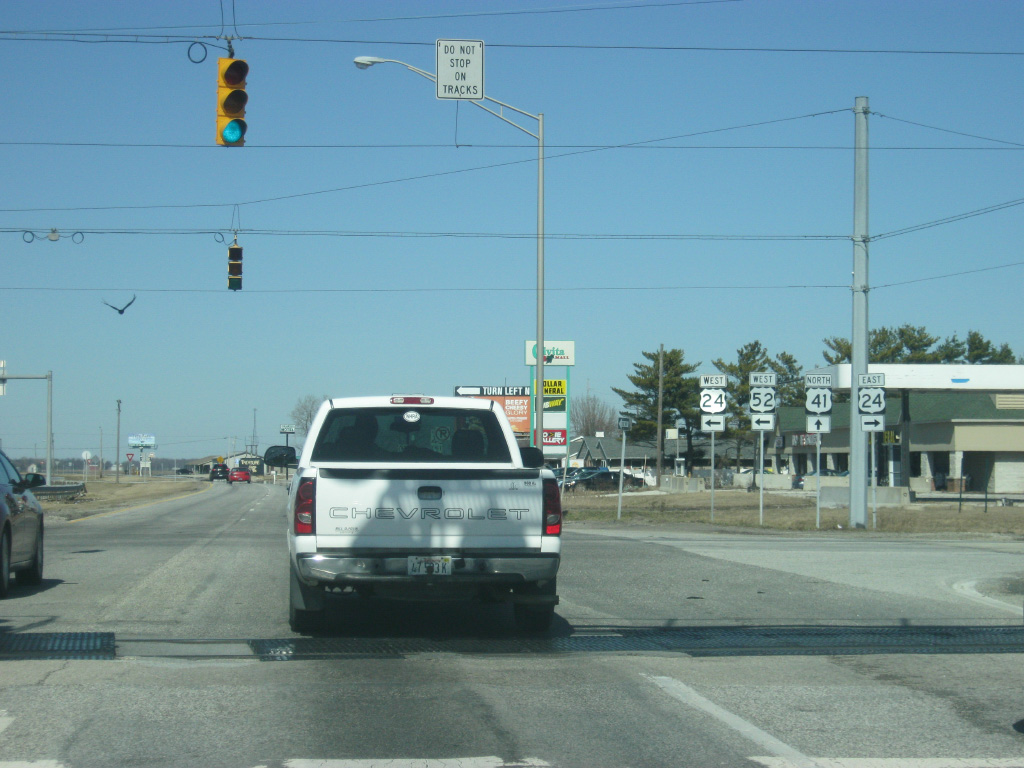
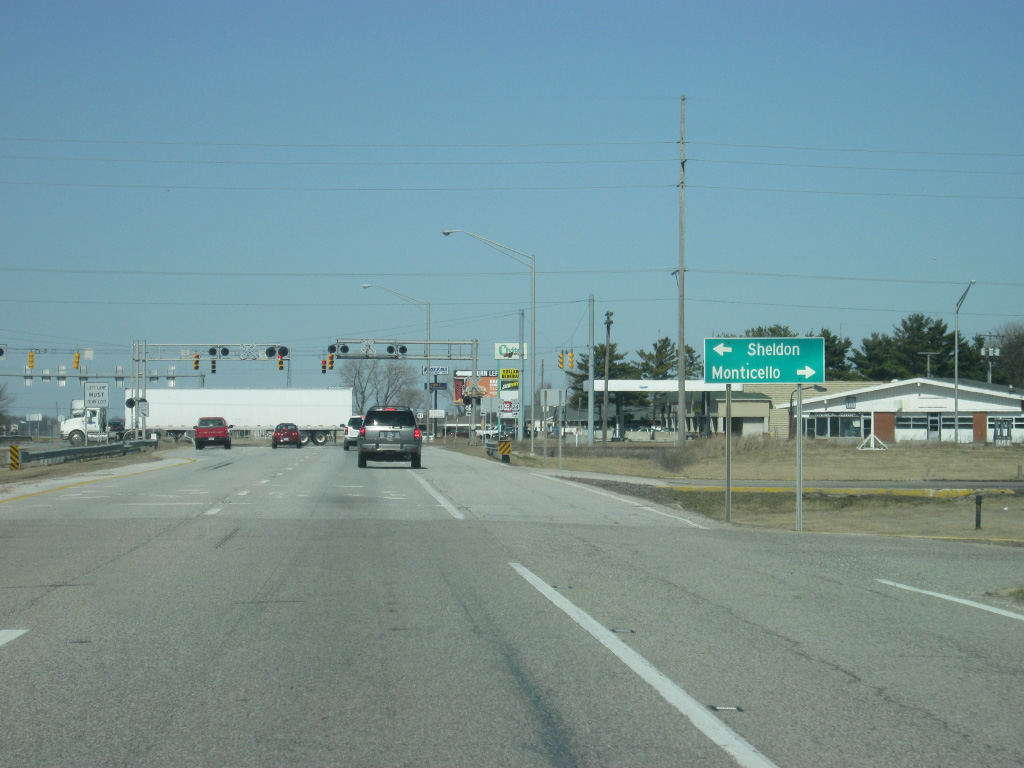
U.S. 52 turns off onto U.S. 24 west and the two highways multiplex out from Kentland to the Illinois state line, where they split at the town of Sheldon. The two highways follow Seymour Street across the south side of Kentland to provide access to the business district of Kentland, Newton County's largest community. To the east, it heads toward the communities of Goodland, Remington and Monticello.
01/03/10
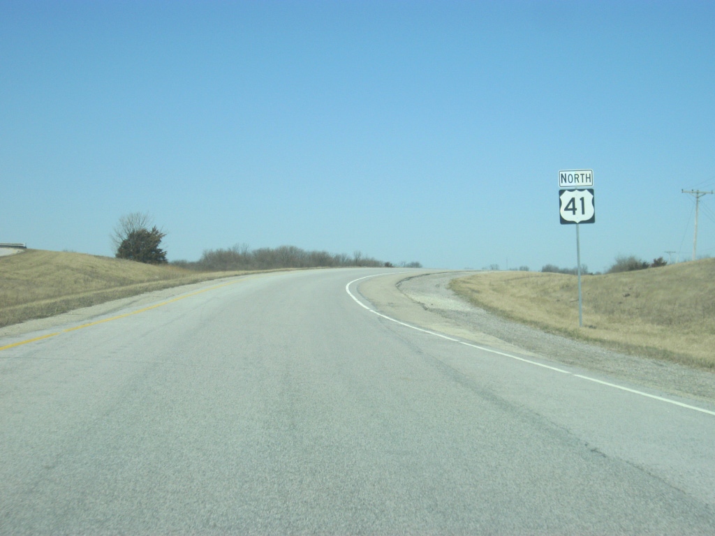
North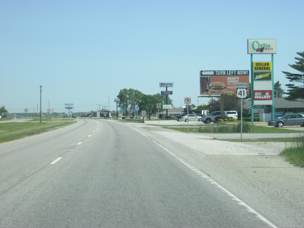
U.S. 41 is by itself one again north of the intersection with U.S. 24 & U.S. 52 west (Seymour Street). For a few blocks, businesses abut the four lane expressway that bypasses the bulk of Kentland to the east.
05/13/12
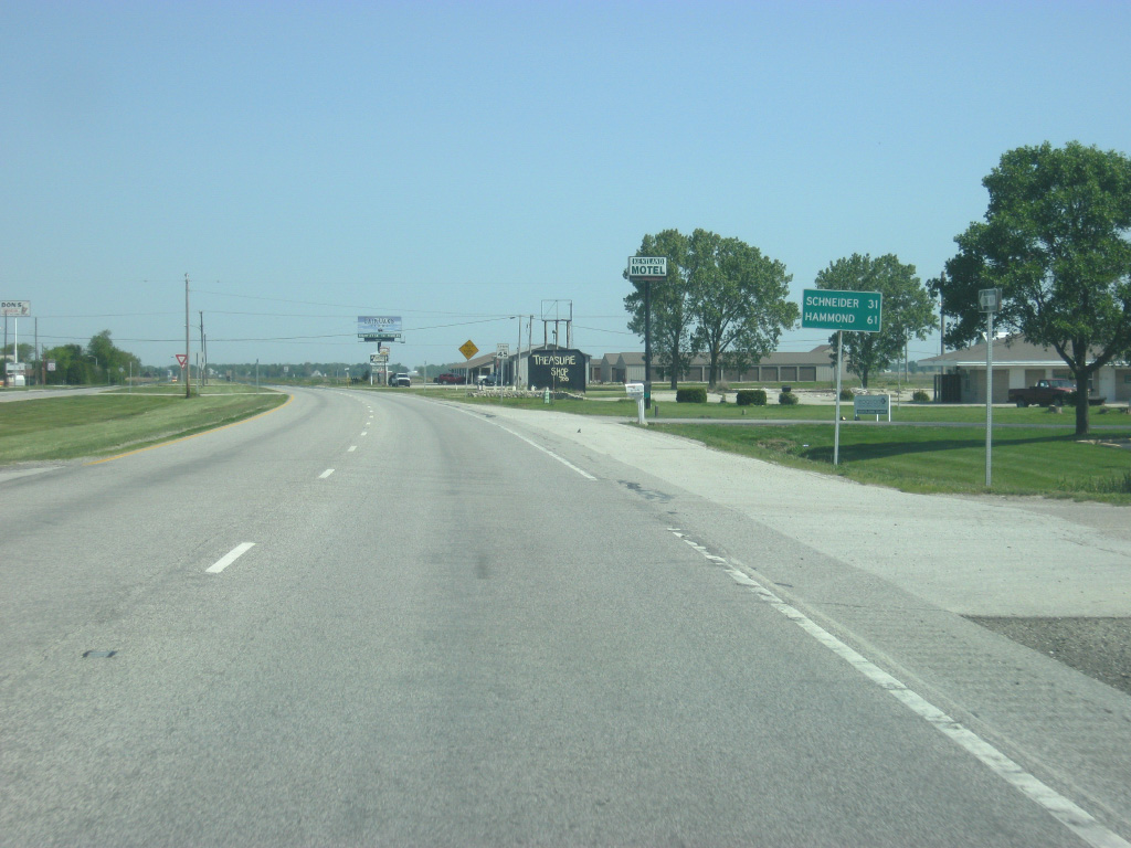
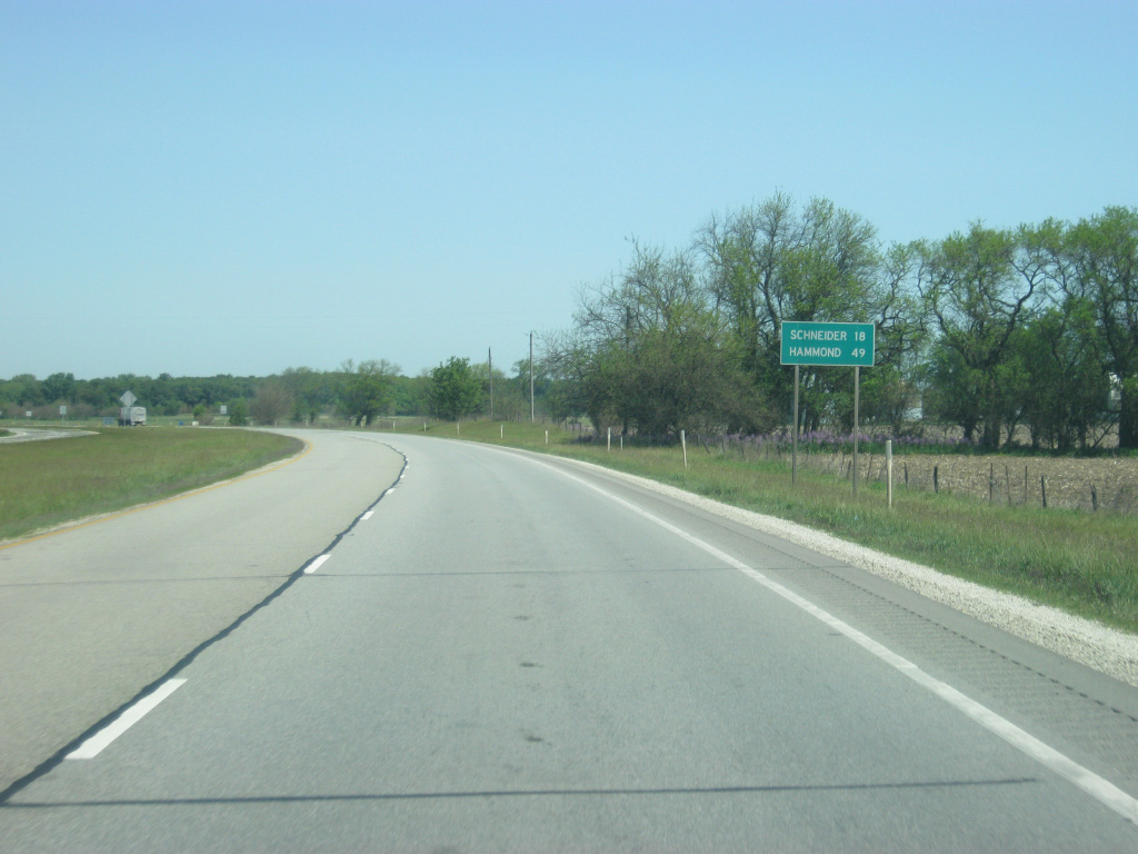
Leaving Kentland, U.S. 41 is 31 miles from the town of Schneider in extreme southern Lake County. Hammond becomes the primary control city for U.S. 41 from this point northward. Hammond is 61 miles away from Kentland.
05/13/12
U.S. 41 begins its long transit across Newton County, among the longest from north to south in Indiana. It is about 30 miles from the south end of the county to the north end at the Kankakee River.
05/13/12
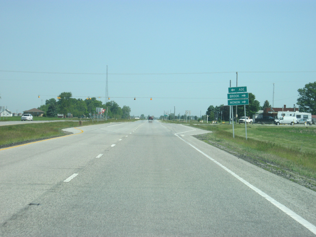
U.S. 41 nears the intersection with SR 16. SR 16 goes for 105 miles from U.S. 41 eastward through Brook, Monon, Royal Center, Roann, and Huntington, where it ends at SR 5 to the north of Huntington.
05/13/12
The town of Brook is 3.7 miles to the east of U.S. 41 along SR 16. As expected for a highway that travels through very few towns, SR 16 is a lightly-traveled highway. To the west, County Road 900 South passes by the small community of Ade.
05/13/12
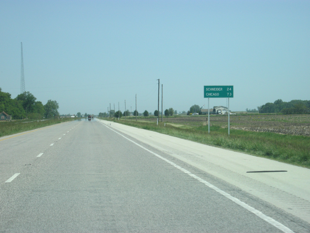
Schneider is 24 miles away from the junction of U.S. 41 and SR 16. Chicago, Illinois is 73 miles away. This is also the final mention of Chicago on distance signs along U.S. 41, with Hammond being the control point from this point northward.
05/13/12
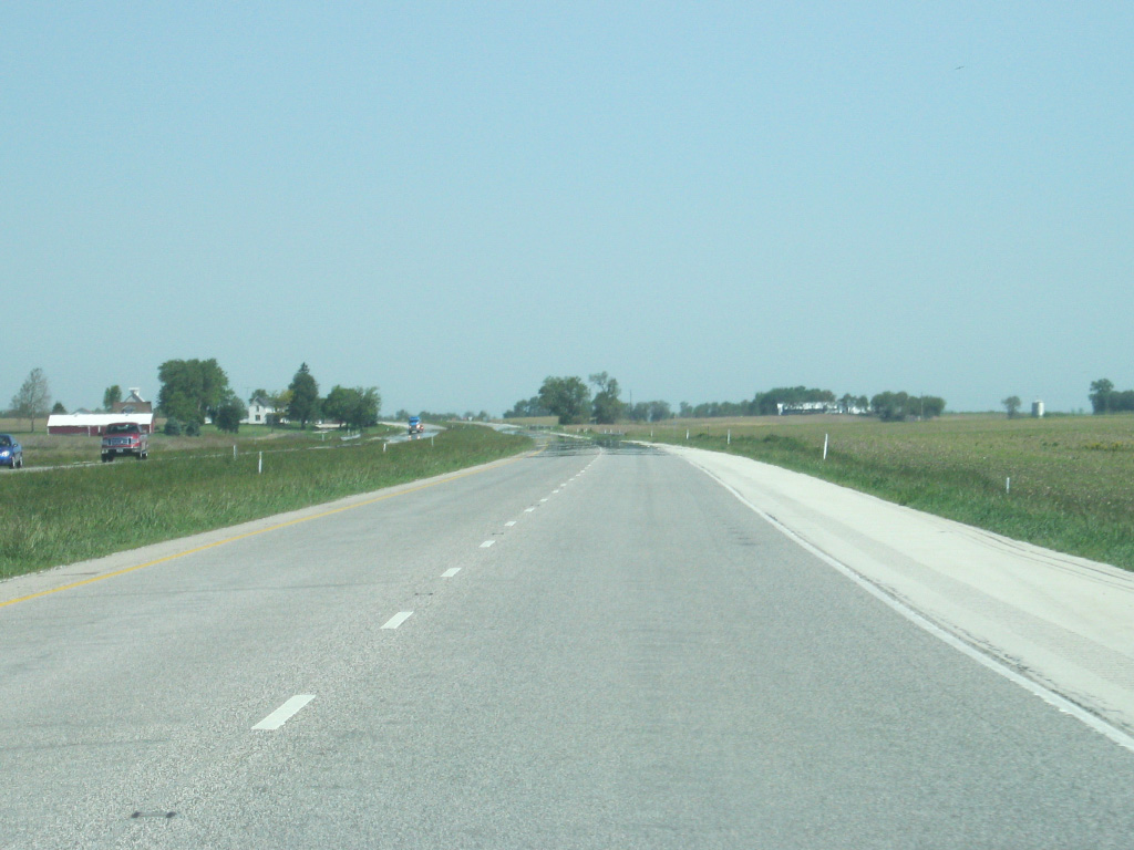
U.S. 41 travels in a due-north direction from the junction with SR 16 to the town of Morocco. Traffic remains very light along this stretch of expressway with traffic counts under 5,000 for most of U.S. 41's trip across Newton County. This also makes U.S. 41 a nice alternative to those who wish to avoid the consistent traffic along Interstate 65, which lies about 10 to 15 miles to the east.
05/13/12
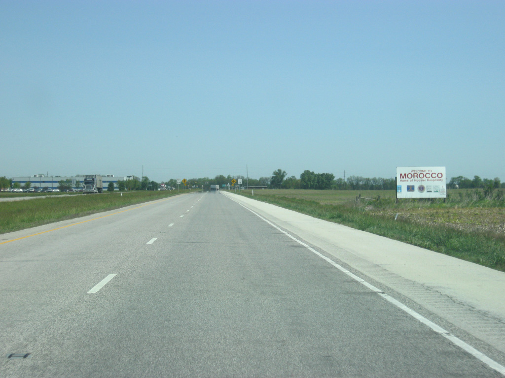
U.S. 41 enters the community of Morocco, which calls itself the "Home to Hoosier Hospitality." As with other communities, U.S. 41 bypasses the town to the east.
05/13/12
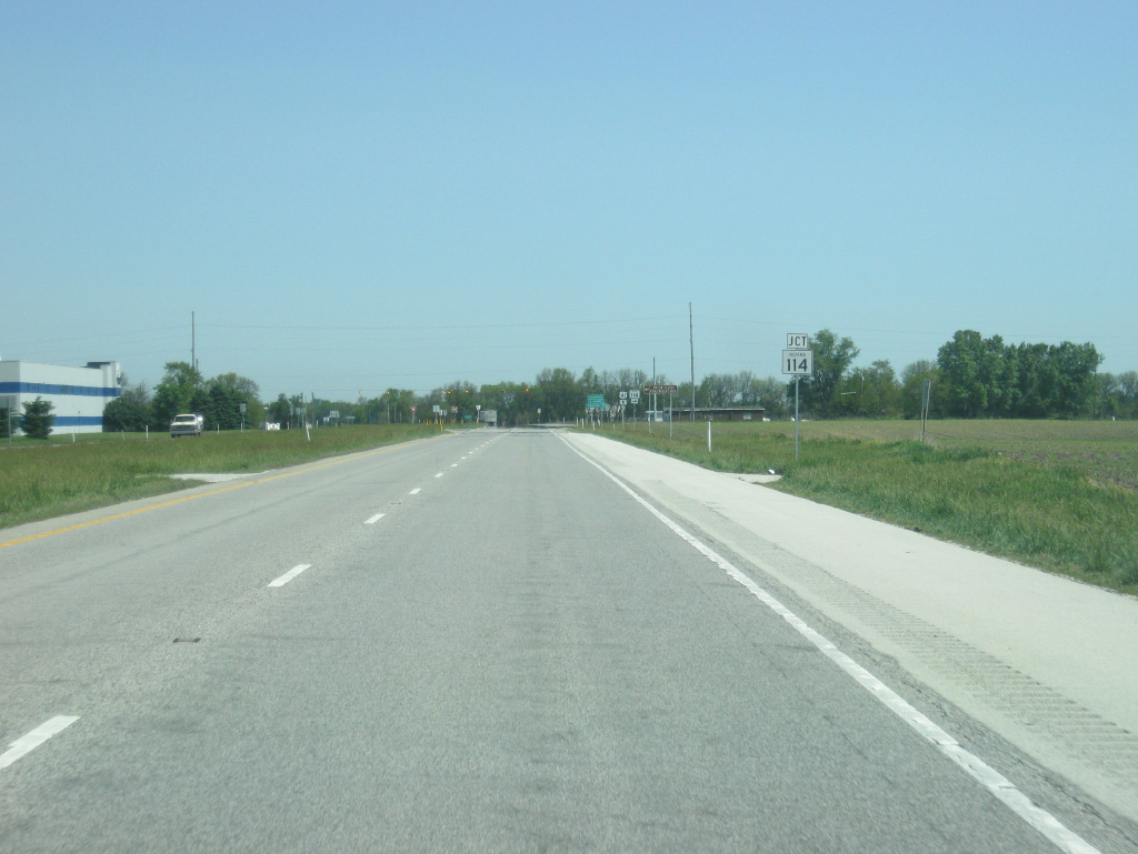
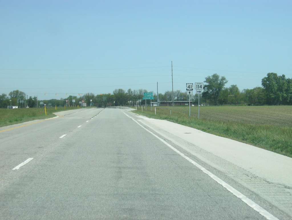
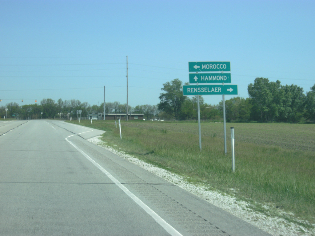
On the east side of Morocco is the junction between U.S. 41 and SR 114 east, a state highway that exists in three different segments. The western segment goes from U.S. 41 east to U.S. 421 in Pulaski County, passing through the Jasper County seat of Rensselaer. The highway at one time went west through Morocco all the way to the Illinois state line.
05/13/12
Newton County may be the closest Indiana county to have "two county seats" with Morocco housing the Newton County Government Center at the intersection of U.S. 41 and SR 114 east. The Newton County Courthouse remains in Kentland and that community is still considered the county seat. Morocco is still closer to the center of the county and with U.S. 41 acting as the major thoroughfare across the county; the government center's location makes sense. To the east, Rensselaer is 15 miles to the east.
05/13/12
A flashing light marks the intersection between U.S. 41 and SR 114 east. Michigan Avenue follows SR 114's former routing into the community of Morocco. The business district of Morocco is several blocks north of Michigan Avenue via Clay Street.
05/13/12
North of the intersection with SR 114 east, U.S. 41 is 18 miles from Schneider and 41 miles from Hammond.
05/13/12
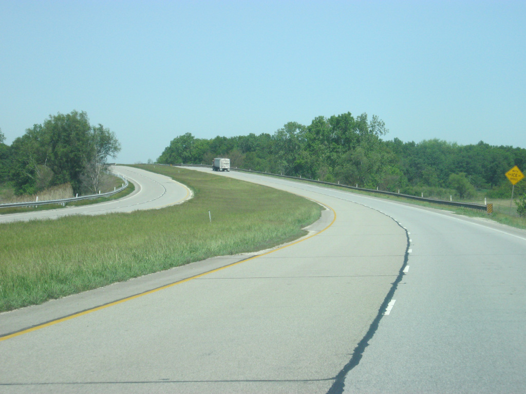
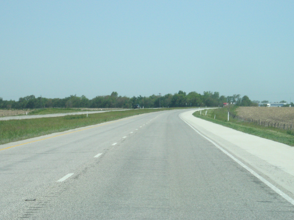
North of Morocco, U.S. 41 continues as an older-style four lane expressway. U.S. 41 at one time was a two lane highway and was twinned in the 1950s with the northbound lanes being built alongside the southbound lanes, which was the original roadway. The appearance of U.S. 41 is that of a four lane asphalt highway with little shoulders, a far cry from more modern-day Indiana expressways such as U.S. 31 and SR 37.
05/13/12
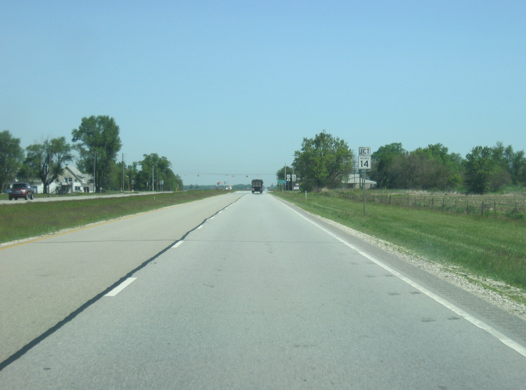
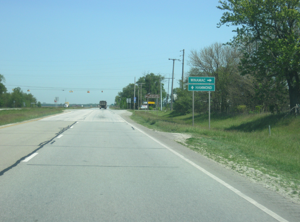
Near the community of Enos, U.S. 41 now approaches the junction with SR 14 east. SR 14 goes for 123 miles from U.S. 41 eastward to Winamac, Rochester, Akron, Silver Lake and South Whitley before ending at Interstate 69 in Fort Wayne.
05/13/12
The Pulaski County seat of Winamac is 47 miles to the east of U.S. 41. The Willow Slough State Fish and Wildlife Area is several miles to the west via County Road 100 North.
05/13/12

SR 14 heads east from U.S. 41 and forms a part of an emergency detour for Interstate 65.
05/13/12
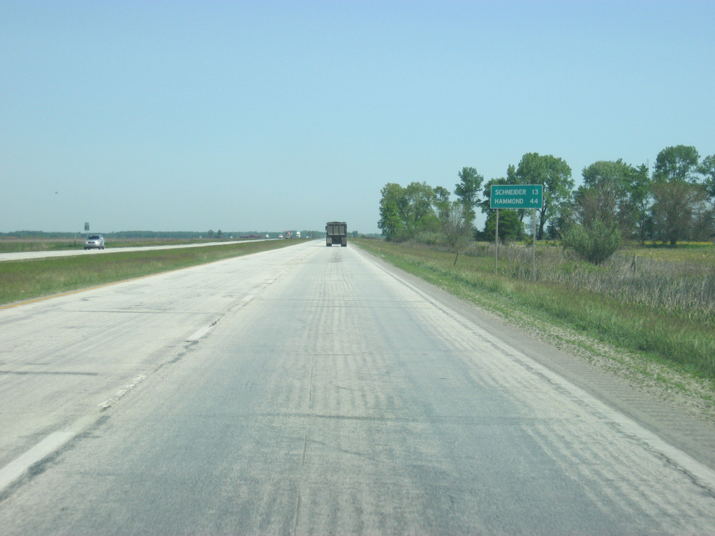
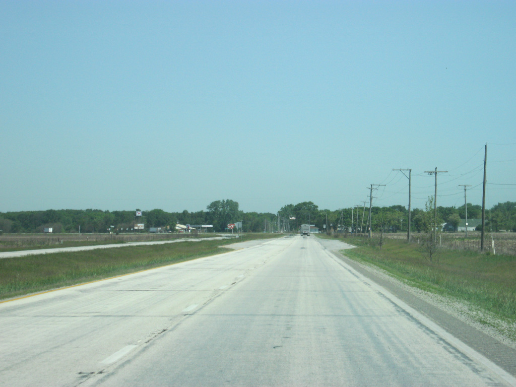
Continuing north from SR 14, U.S. 41 advances 13 miles to the community of Schneider and 44 miles to Hammond.
05/13/12
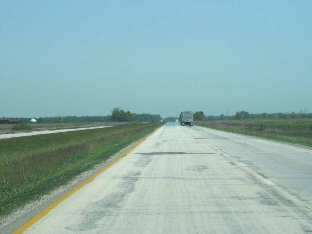
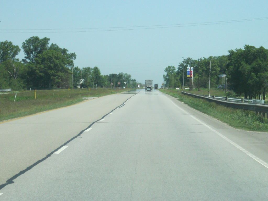
U.S. 41 passes through a prairie landscape as it crosses Newton and Lake Counties, similar to the terrain of most of northern and central Illinois. To the west of the highway is the Kankakee Sands Nature Conservancy.
05/13/12
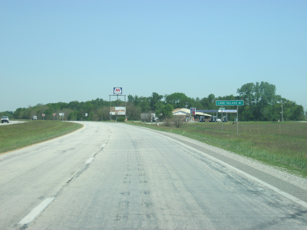
Lake Street represents the original route of U.S. 41 through the town of Lake Village.
05/13/12
U.S. 41 begins to bypass Lake Village to the west as it nears the junction with SR 10.
05/13/12
SR 10 travels for 85 miles from the Illinois state line west of Lake Village and east past the communities of Roselawn, Demotte, North Judson and Argos, ending at SR 19 near Etna Green in Kosciusko County.
05/13/12
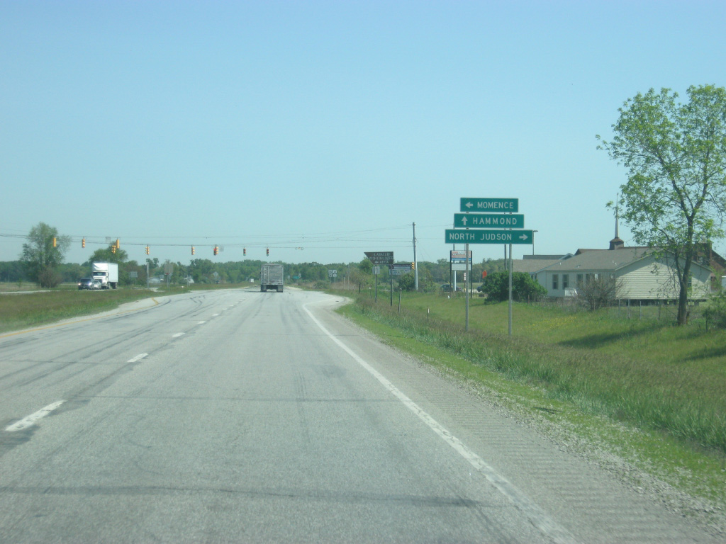
The town of Momence, Illinois lies 16 miles to the west via SR 10 and Illinois 114. North Judson is located 40 miles to the east in western Starke County.
05/13/12
A stoplight marks the intersection between U.S. 41 and SR 10. The town of Lake Village is just to the east via SR 10 and Lake Street.
05/13/12
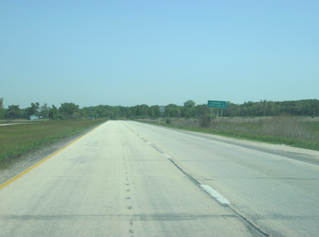
North of the junction with SR 10, U.S. 41's next two communities are Schneider (five miles) and Cedar Lake (18 miles).
05/13/12
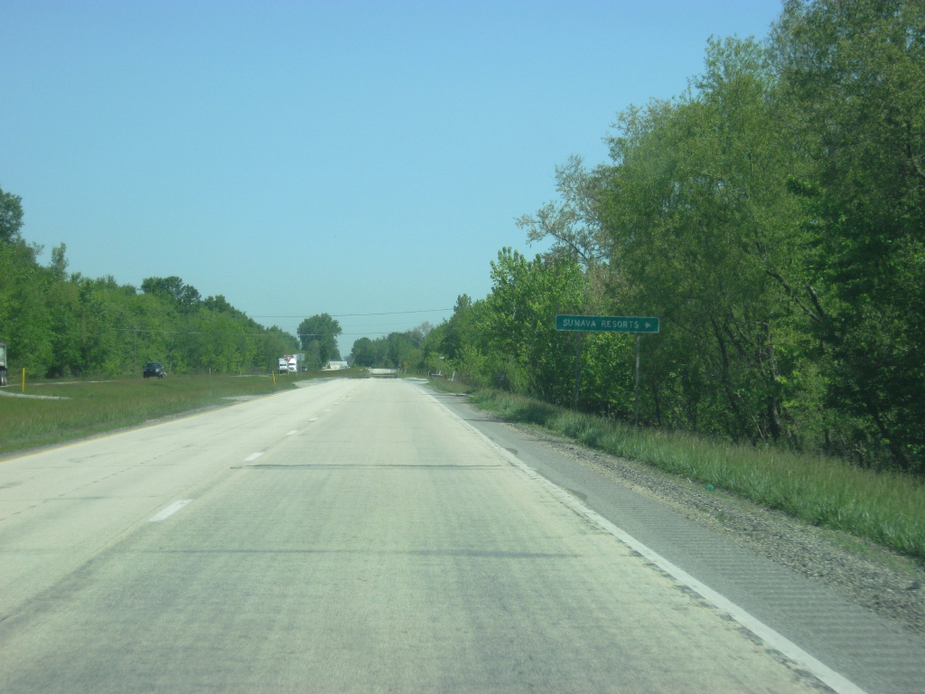
Turning back toward the north, U.S. 41 passes by the community of Sumava Resorts, via County Road 1150 North.
05/13/12
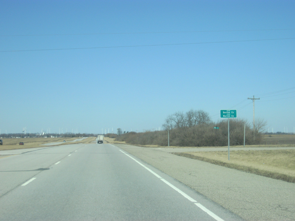
U.S. 41 crosses the Kankakee River as it enters Lake County (population 496,314). Lake County is the second most-populous county in Indiana and heart of the Northwest Indiana metropolitan area. U.S. 41's trek through Lake County will have it go through rural, suburban and urbanized areas before the highway leaves the Hoosier State.
05/13/12
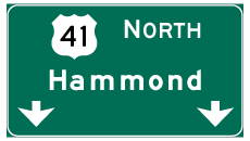
Photo Credits:
- Thomas Decker: 01/03/10, 05/13/12
Connect with:
Page Updated Friday April 26, 2013.