
U.S. 41
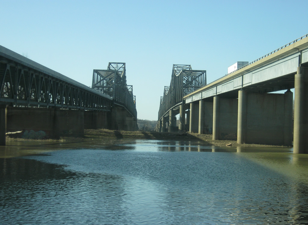
A view of the Bi-State Vietnam Gold Star Twin Bridges that U.S. 41 uses to span the Ohio River into Henderson County, Kentucky. The twin bridges, typically called the "twin bridges" by locals, were built in 1932 (northbound span) and 1966 (southbound span) and connect the larger Evansville area with Henderson to the south. Among the crossings between Indiana and Kentucky, these are the only bridges that cross the Ohio River solely in Kentucky. A new bridge for Interstate 69 is being built to the east to provide a second crossing between the two communities. Photo by Thomas Decker (03/06/12). - 03/06/2012
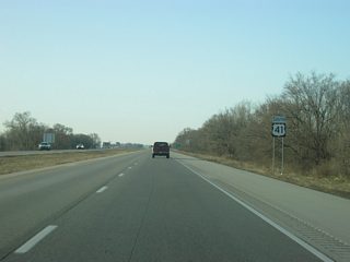
U.S. 41 travels for 280 miles along the western border of Indiana from the Northwest Indiana suburbs of Chicago south to Indiana's third largest city of Evansville. Nationally, U.S. 41 goes for 2,000 miles from Copper Harbor, Michigan to Miami, Florida. At one time the U.S. 41 corridor was planned as the north-south toll road for Indiana to complement the east-west toll road up north. Although it is not a toll road, it is still a major highway for most of its routing, with Indiana 63 filling in the gap for the sections that aren't four-lanes. U.S. 41 was twinned through the years beginning in the 1960s across western Indiana, and with the exception of the stretch from Terre Haute to Attica, is a four-lane highway across the state. Along with the Indiana 63 expressway in Vigo, Vermillion and Warren Counties, the highway is among the most important non-interstate routes in Indiana, providing a long-haul route from Chicago to Evansville and points south.
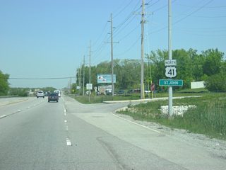
Due to a shift in the Ohio River's path, U.S. 41 enters Indiana north of the river and enters the Evansville area as a busy highway. From Evansville, U.S. 41 continues north past the communities of Princeton, Vincennes and Sullivan as a part of a major highway between Evansville and Terre Haute. North of Terre Haute, U.S. 41 becomes a two-lane highway that travels through Rockville and Attica while Indiana 63 serves as the primary four-lane expressway to the west. North of Attica, U.S. 41 meets up with Indiana 63 and continues as a four-lane highway across the flat farmlands of Northwest Indiana. Finally, the highway enters the urbanized part of Northwest Indiana in the communities of St. John, Schererville, Highland and Hammond before exiting the state at the border with Chicago, Illinois.
U.S. 41 Indiana Guides
North
Vanderburgh County - 48 photos
Gibson, Knox, Sullivan Counties - 101 photos
Vigo County - 61 photos
Parke and Fountain Counties< - 104 photos
Warren, Benton, Newton Counties - 96 photos
Lake County - 78 photos
South
Lake County - 57 photos
Newton, Benton, Warren Counties - 84 photos
Fountain and Parke Counties - 79 photos
Vigo County - 48 photos
Sullivan / northern Knox Counties - 56 photos
Southern Knox / Gibson Counties - 55 photos
Vanderburgh County - 47 photos
 scenes
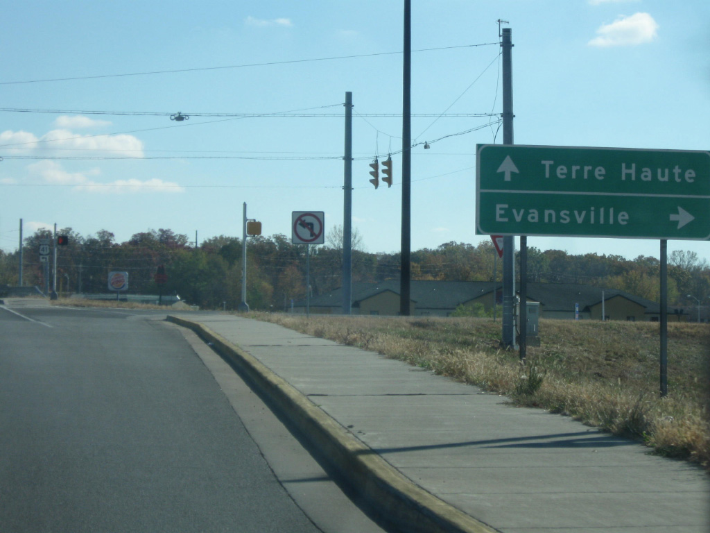
A view of the U.S. 41 control cities of Terre Haute and Evansville at the Hart Street interchange in Vincennes.
11/06/10
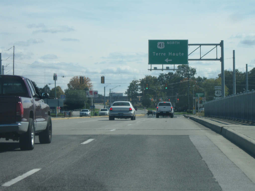
From the Hart Street interchange in Vincennes, Terre Haute is 58 miles to the north along U.S. 41.
11/06/10
From the Hart Street interchange in Vincennes, Evansville is 53 miles to the south along U.S. 41.
11/06/10
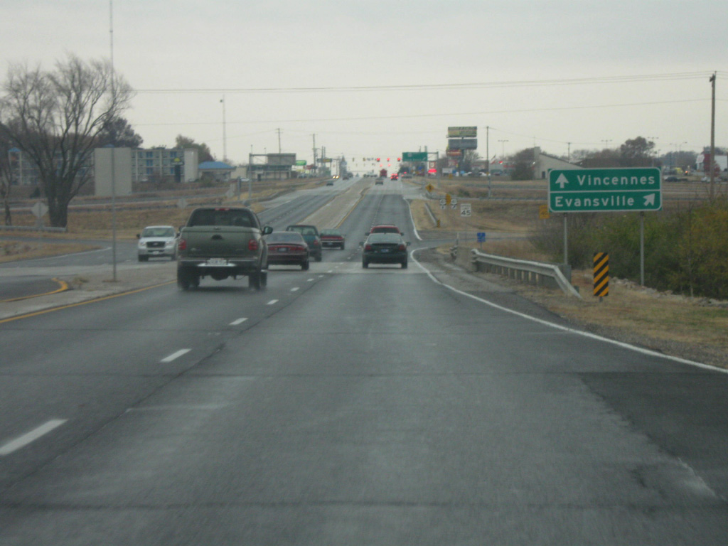
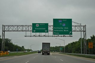
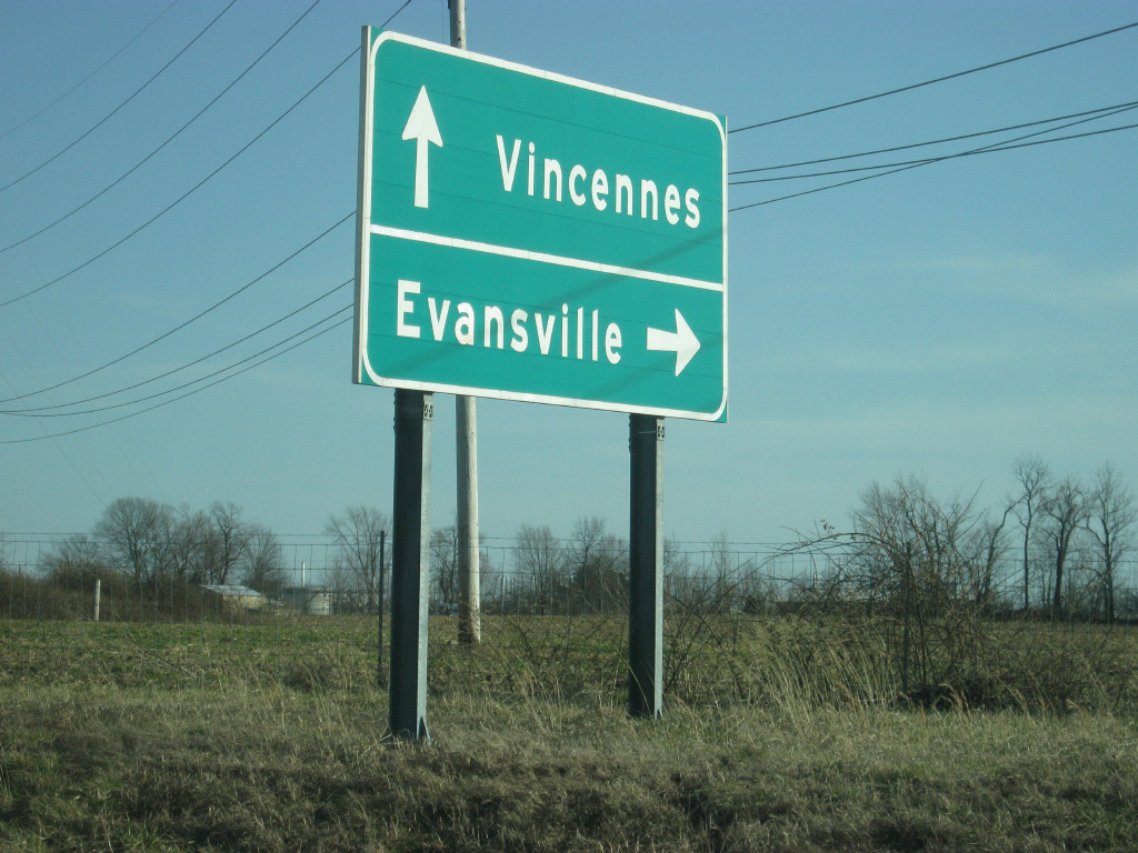
Heading east along SR 64 & SR 65 on the west side of Princeton. The cities of Vincennes and Evansville are the control cities for U.S. 41.
11/13/10
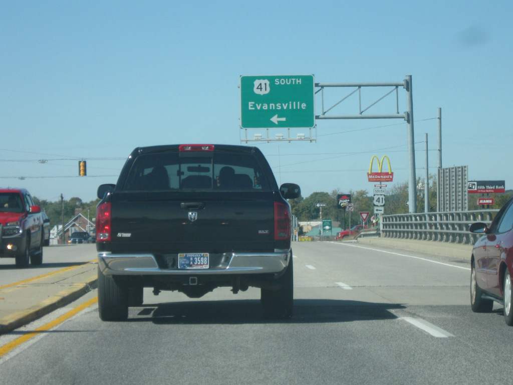
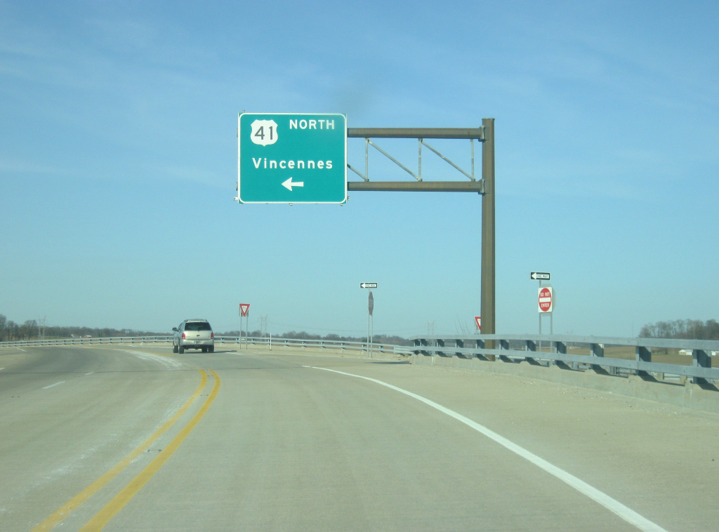
At the same cloverleaf interchange, a guide sign now indicates Terre Haute as the control city of U.S. 41 north. Throughout the Princeton area, Vincennes and Terre Haute are used interchangeably as controls heading north, Evansville however is always the control city heading south.
11/13/10
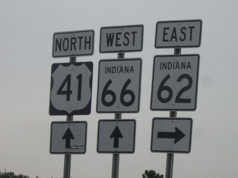
A view of U.S. 41, SR 62 and SR 66 shields at the intersection of U.S. 41 & SR 66 and Morgan Avenue (SR 62) in Evansville. The three highways are multiplexed for a stretch in between the Lloyd Expressway and Morgan Avenue.
11/13/10
Vincennes and Evansville are the control cities here at the Main Street/County Road 300 South interchange south of Princeton along U.S. 41.
03/06/12
A sign directs motorists to the north off of Main Street onto U.S. 41 north toward Vincennes to the south of Princeton. This interchange, along with the one at County Road 550 South, was constructed when the Toyota plant was built and both use Vincennes as control cities.
03/06/12
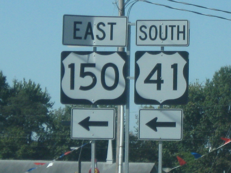
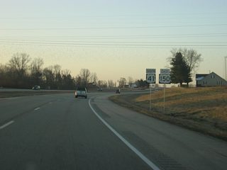
Highway shields for U.S. 41 and U.S. 150 along their multiplex through Sullivan County. The two highways share the same four lane expressway from Vincennes north to Terre Haute.
10/10/09
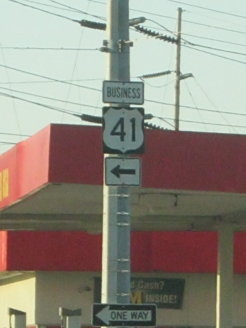
A Business U.S. 41 shield along 6th Street in Vincennes. The business designation is merely a local designation as INDOT does not maintain business routes. In any respect, the U.S. 41 business designation is hardly used in Vincennes anyway.
03/06/12
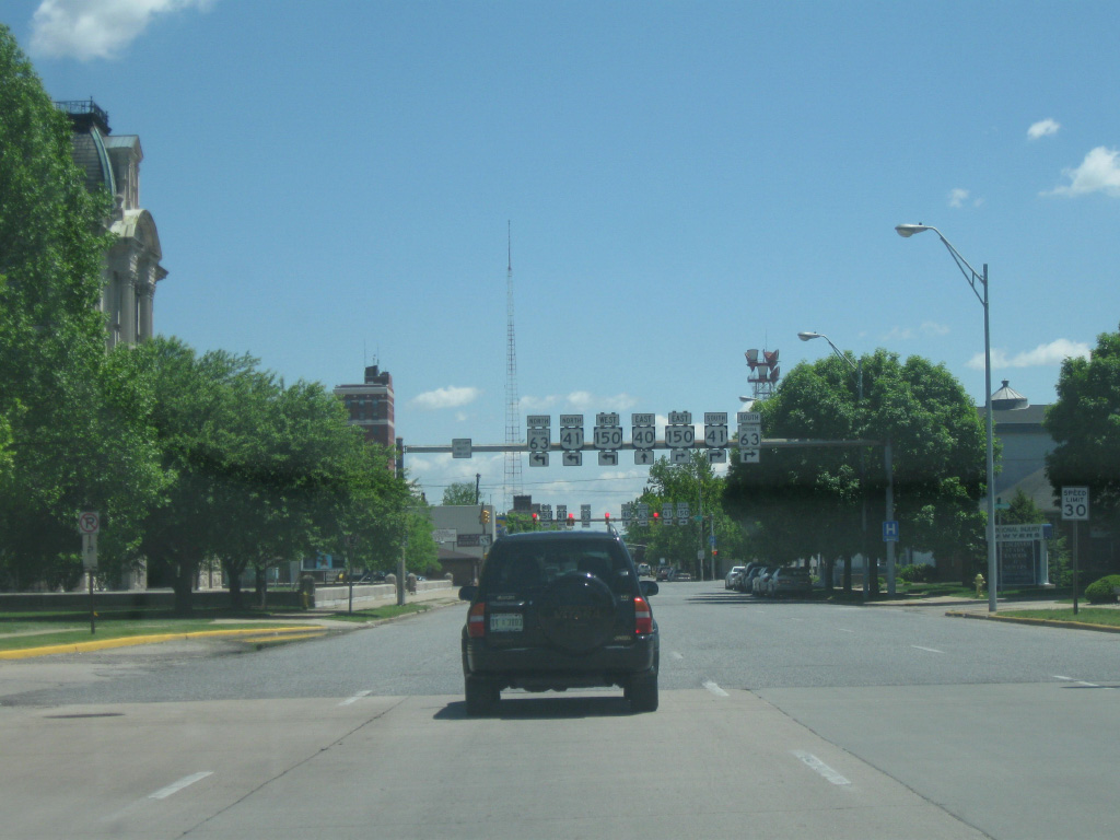
Looking east along Ohio Street (U.S. 150) in Downtown Terre Haute approaching 3rd Street (U.S. 41). The upcoming sign assembly signifies all the highways that used to run through Terre Haute. U.S. 40 used to follow Ohio Street east toward Wabash Avenue across Terre Haute, while SR 63 used to run concurrent with U.S. 41 & U.S. 150 across Terre Haute along 3rd Street. In the present day, SR 63 was decommissioned town and U.S. 40 rerouted to Interstate 70. Only U.S. 41/150 remains on this sign assembly.
05/21/08
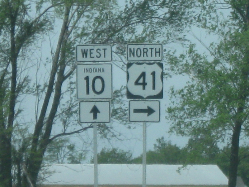
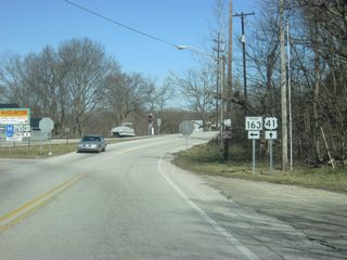
U.S. 41 and SR 10 highway shields in Lake Village in northern Newton County.
05/21/08
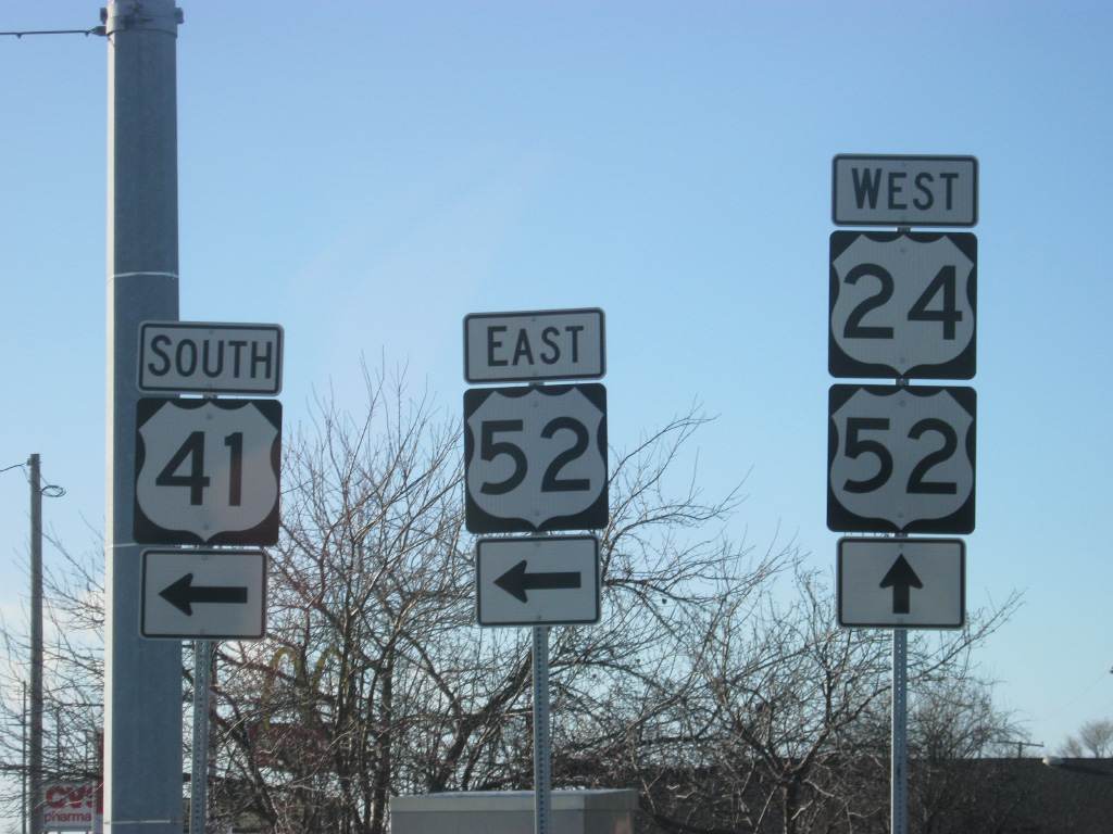
Shields for U.S. 24, 41 & 52 at their intersection in Kentland in Newton County. U.S. 24 crosses U.S. 41 at a major crossroads near town while U.S. 52 comes in from the west along U.S. 24 and departs to the south along U.S. 41.
12/29/11
Photo Credits:
- Thomas Decker: 05/21/08, 10/10/09, 11/06/10, 11/13/10, 12/29/11, 03/06/12
Connect with:
Page Updated Tuesday April 30, 2013.