
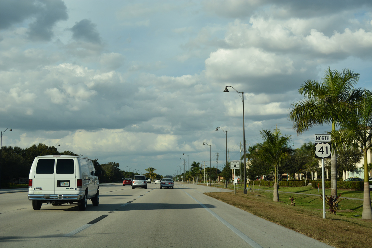
U.S. 41 North - Bonita Springs to Estero

 North
North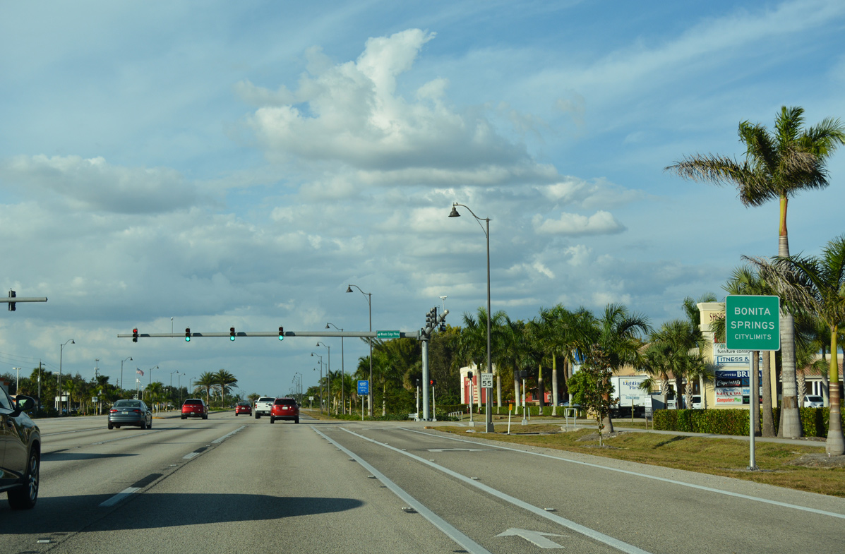
U.S. 41 (Tamiami Trail) enters the city of Bonita Springs at the Lee County line.
11/26/16
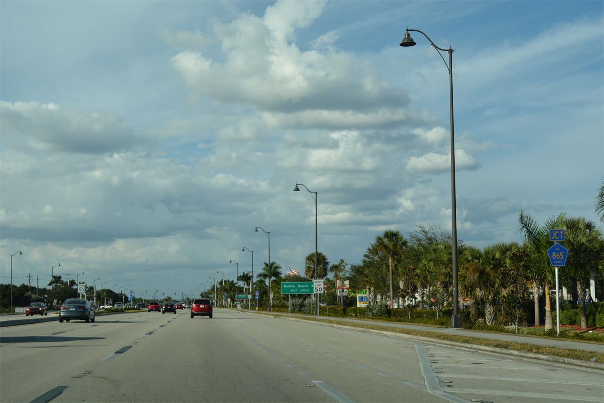
U.S. 41 next intersects Lee County Road 865 (Bonita Beach Road).
11/26/16
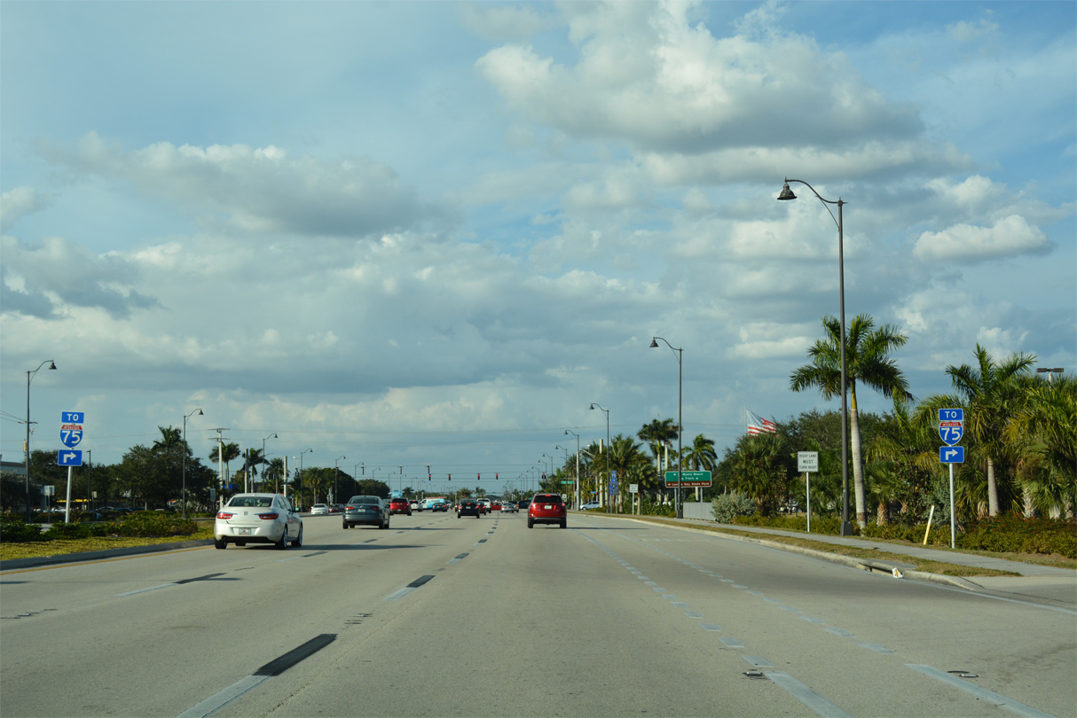
Bonita Beach Road leads 3.5 miles east to Interstate 75.
11/26/16
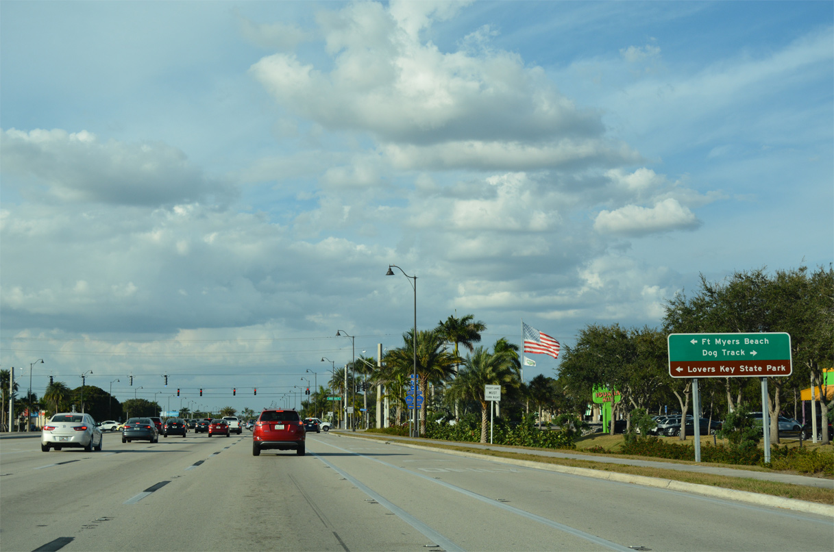
CR 865 forms a coastal loop west from Bonita Springs to Little Hickory Island and north to Lovers Key State Park and Fort Myers Beach on Estero Island.
11/26/16
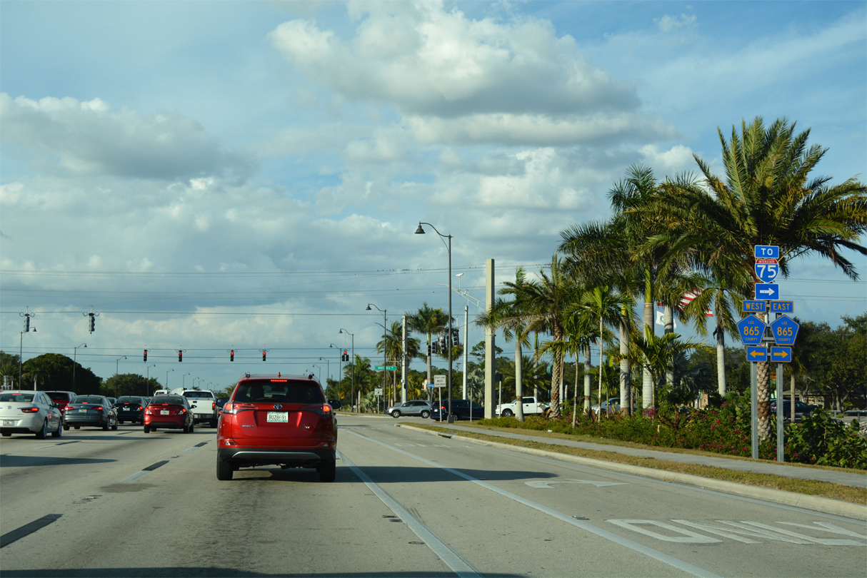
CR 865 becomes SR 865 north from Fort Myers Beach across the Matanzas Pass Bridge to SR 867 (McGregor Boulevard) near Iona. Bonita Beach Road extends east from I-75 as a local roadway to the Bonita National development.
11/26/16
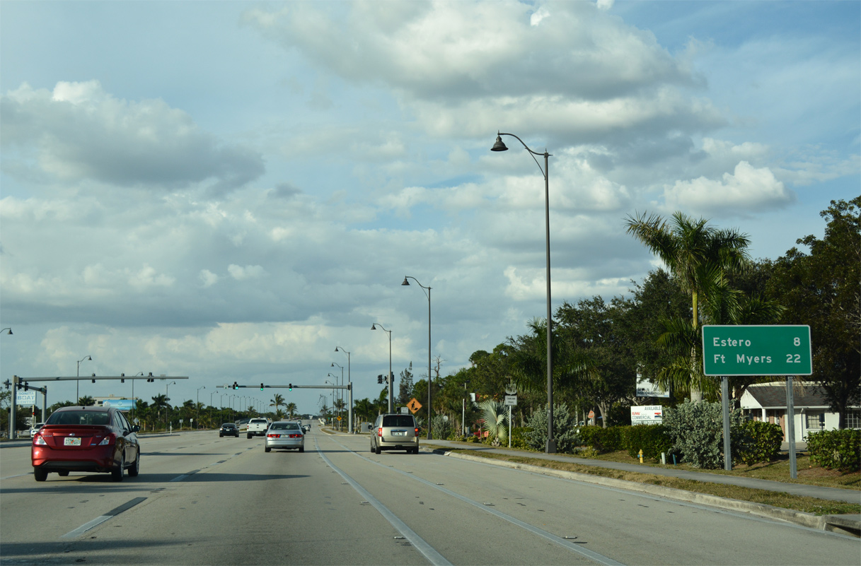
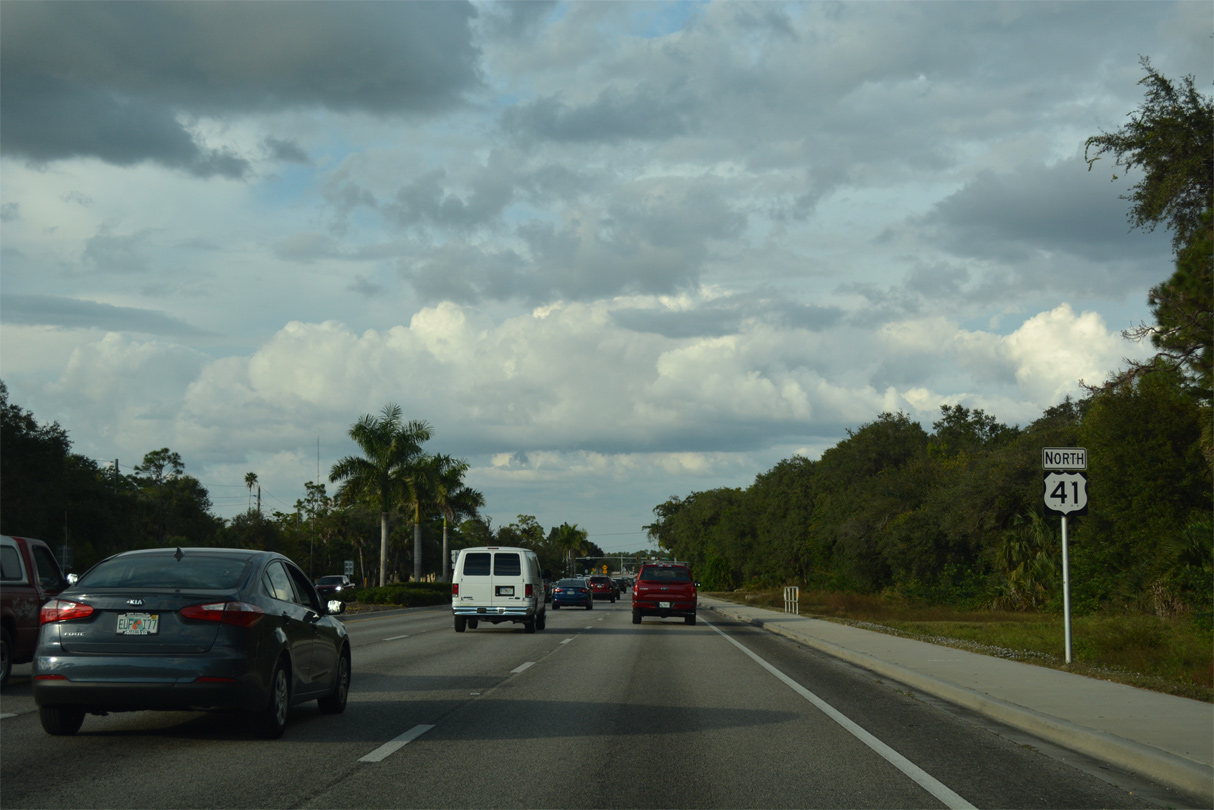
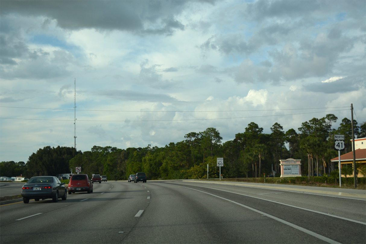
Continuing north from CR 865 (Bonita Beach Road), U.S. 41 advances eight miles to the village of Estero.
11/26/16
11/24/12
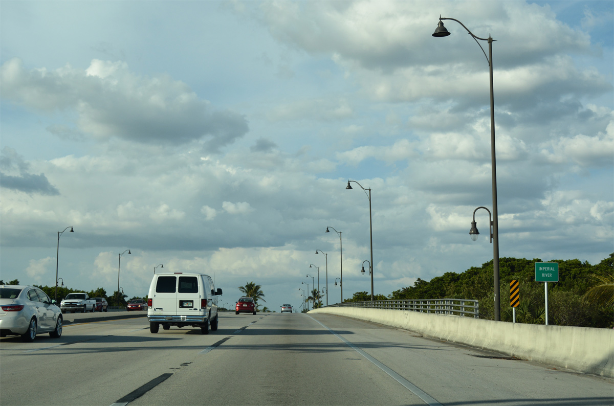
Crossing the Imperial River in Bonita Springs.
11/26/16
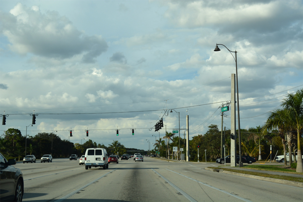
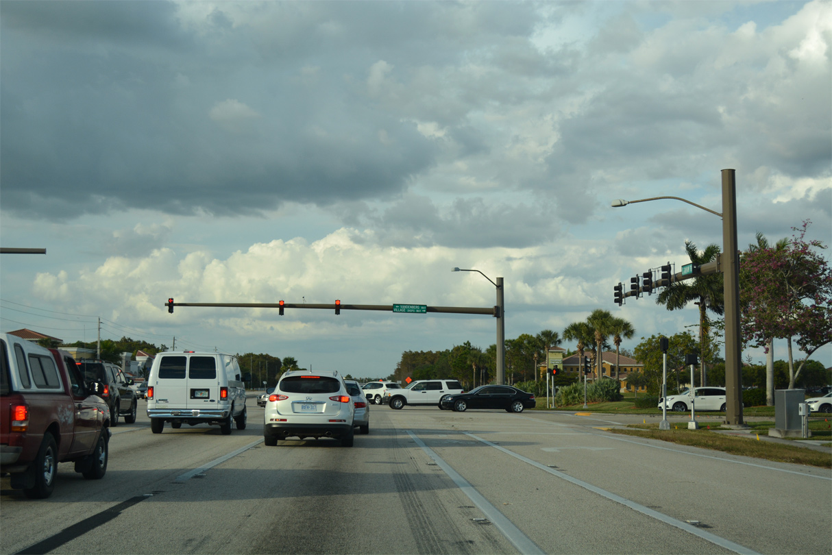
Terry Street west and Bonita Bay Boulevard east come together at U.S. 41 from several golf course communities.
11/26/16
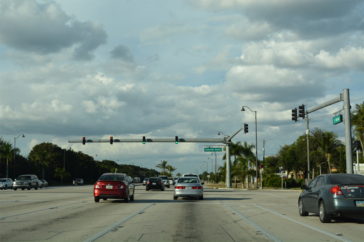
An array of retail lines both sides of U.S. 41 (Tamiami Trail) north from Terry Street to Highland Woods Boulevard east / S Bay Drive west.
11/26/16
Reassurance marker preceding the traffic light with Limetree Park Drive east and N Bay Drive west.
11/26/16
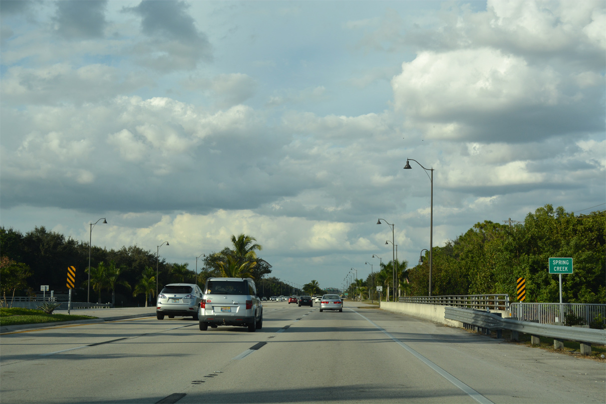
Heading through north Bonita Springs, U.S. 41 crosses Spring Creek.
11/26/16
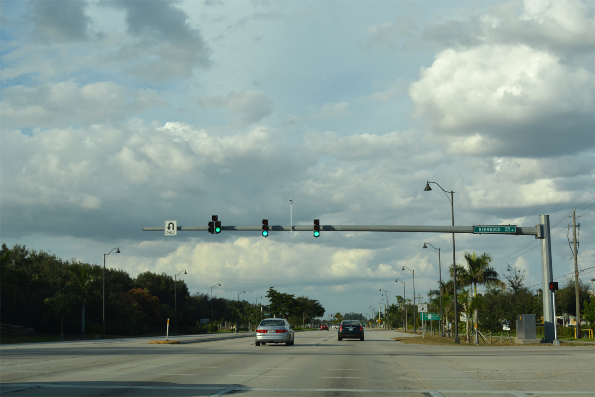
Bernwood Parkway links U.S. 41 (Tamiami Trail) with Old 41 Road at the Bonita Isles neighborhood east from Prado at Spring Creek shopping center.
11/26/16
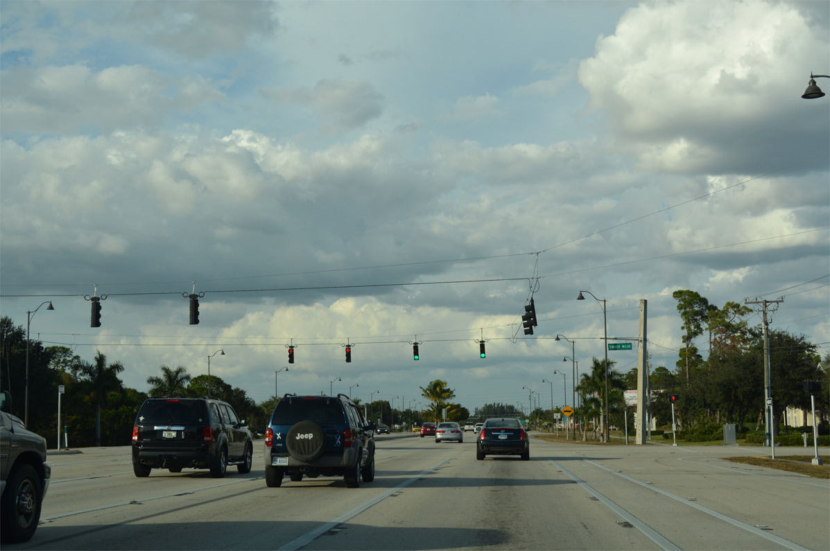
The succeeding traffic light along Tamiami Trail north is with Timber Wilde Drive east to adjacent retail and Pelicans Nest Drive west.
11/26/16
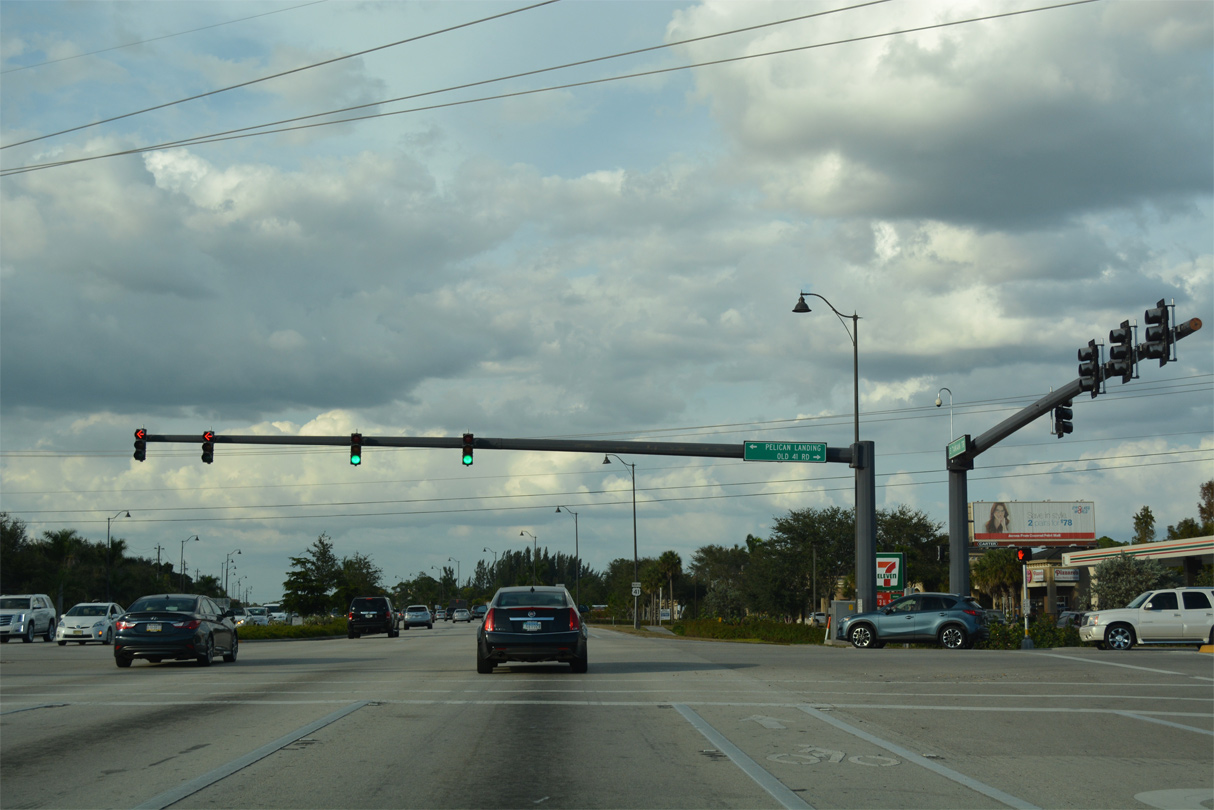
Old 41 Road returns to U.S. 41 (Tamiami Trail) across from Pelican Landing Parkway west.
11/26/16

U.S. 41 progresses north toward the Bonita Springs city line from Old 41 Road.
11/26/16
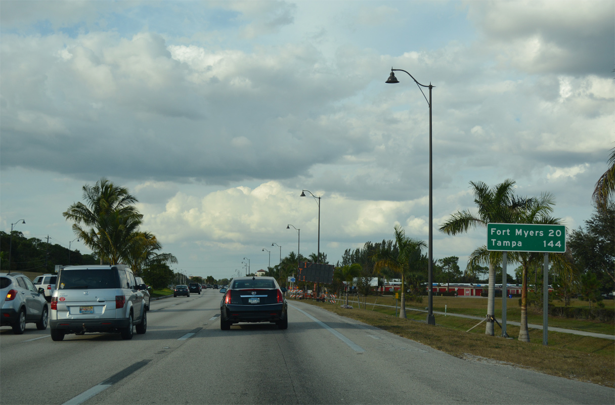
Downtown Fort Myers is 20 miles to the north while Tampa, well beyond Sarasota and Bradenton, appears at 144 miles out.
11/26/16
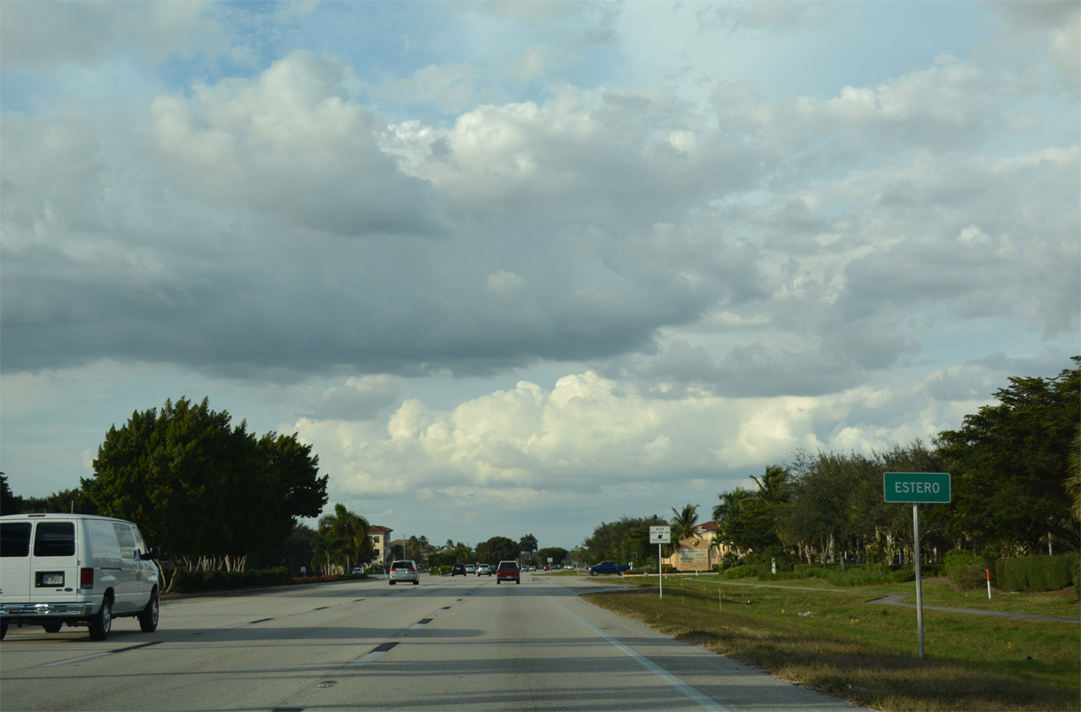
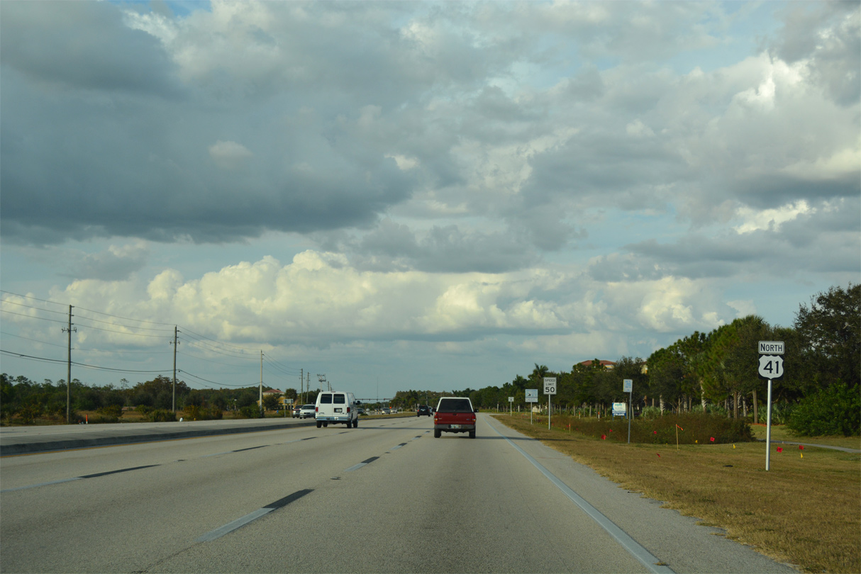
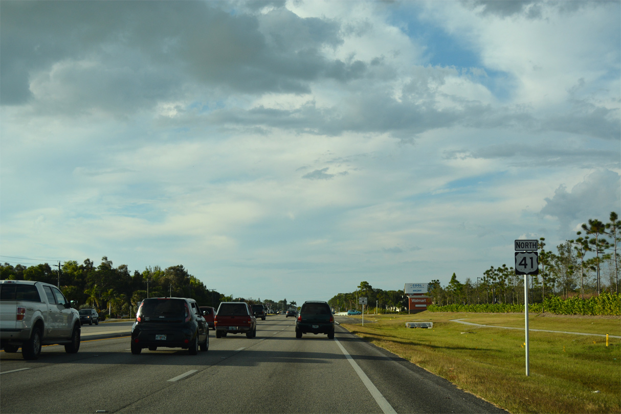
Estero is an incorporated village spreading north along U.S. 41 from Bonita Springs.
11/26/16
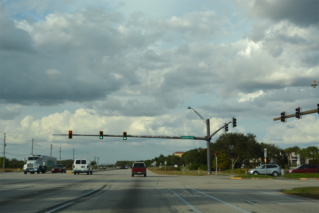
U.S. 41 intersects Coconut Road by the Coconut Point retail complex.
11/26/16
U.S. 41 runs along the west side of Coconut Point and east of the Marsh Landing subdivision along the ensuing stretch in Estero.
11/26/16
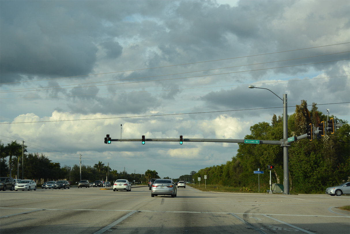
U.S. 41 north at Williams Road.
11/26/16
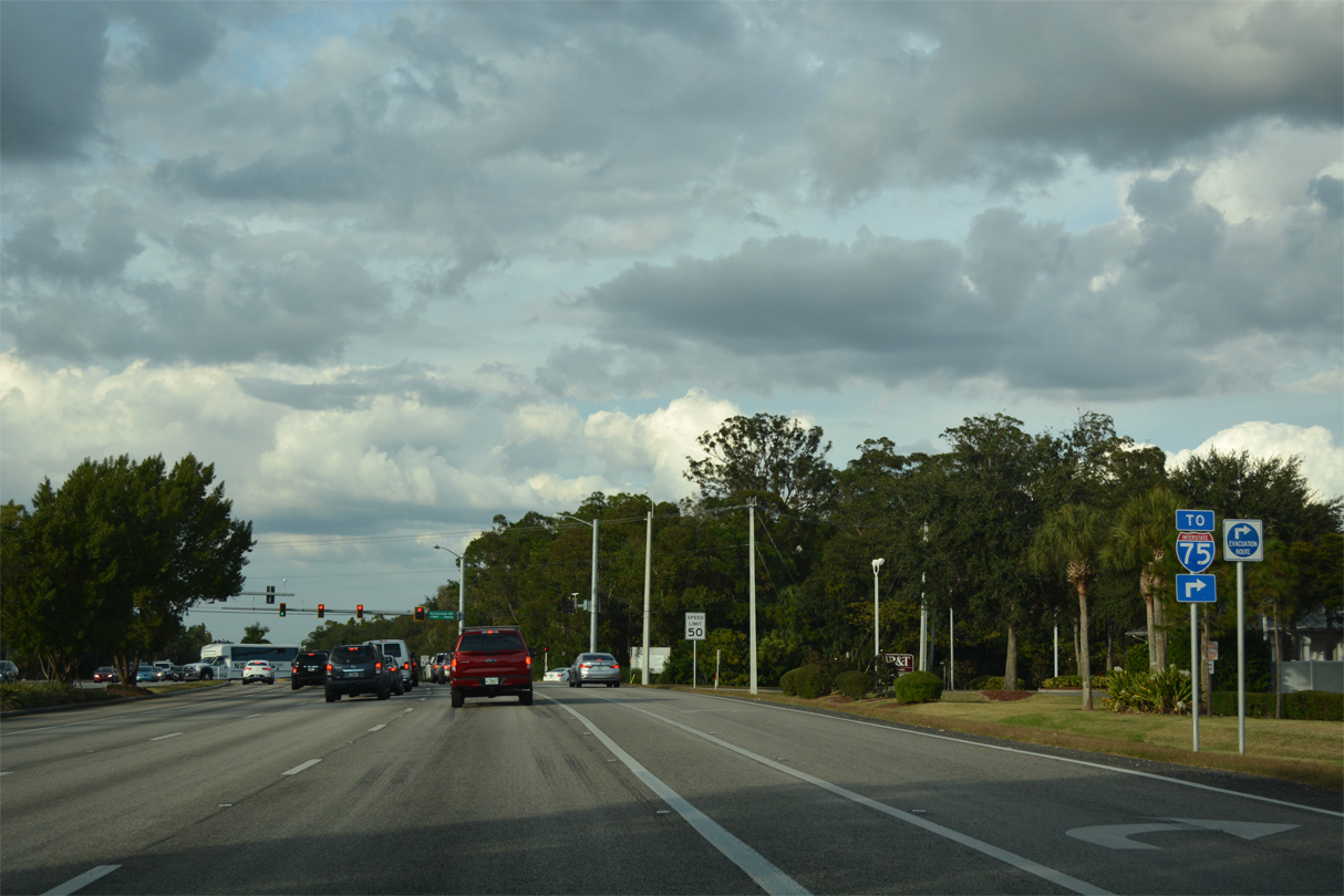
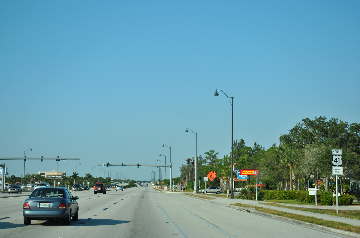
Forthcoming Corkscrew Road (CR 850) represents the next link from U.S. 41 to Interstate 75.
11/26/16
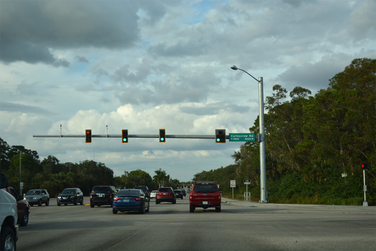
Corkscrew Road runs east through suburbanized Estero to rural areas southeast of Lehigh Acres at SR 82.
11/26/16
Koreshan State Park lines the west side of U.S. 41 beyond Corkscrew Road (CR 850).
11/26/16
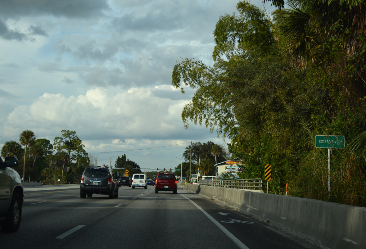
Crossing the Estero River.
11/26/16
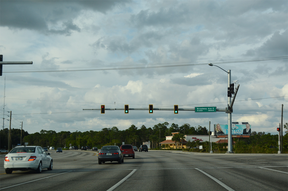
Broadway Avenue crosses U.S. 41 (Tamiami Trail) west to Estero River Scrub Estero Bay Preserve State Park.
11/26/16
Curving northwest, U.S. 41 continues toward the San Carlos Park community.
11/26/16
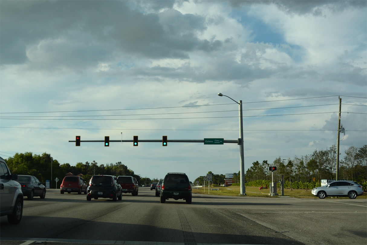
Estero Parkway stems east from U.S. 41 and TerraCap Way between a myriad of subdivisions and apartments to Ben Hill Griffin Parkway beyond I-75.
11/26/16
Reassurance marker posted after Estero Parkway.
11/26/16
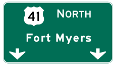
Photo Credits:
- ABRoads: 11/24/12, 11/26/16
Connect with:
Page Updated Monday July 08, 2024.