
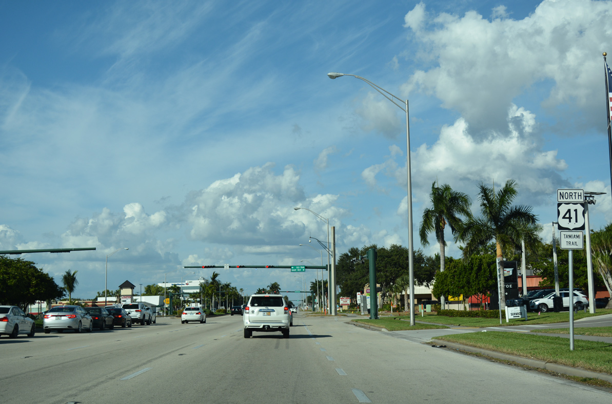
U.S. 41 North - East Naples to Naples
 North
North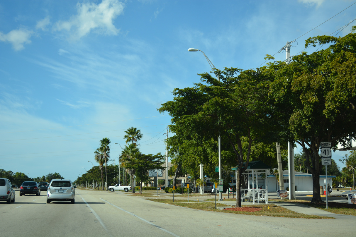
11/26/16
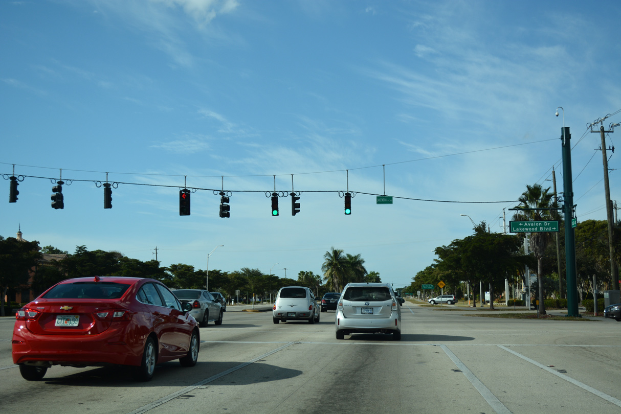
Avalon Drive east from Sugden Regional Park and Lakewood Boulevard south from the Lakewood Country Club of Naples come together at the next traffic light northbound on U.S. 41.
11/26/16
11/26/16
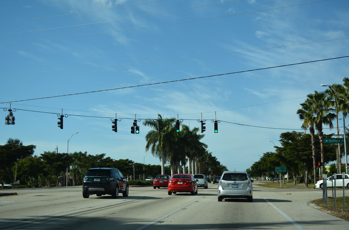
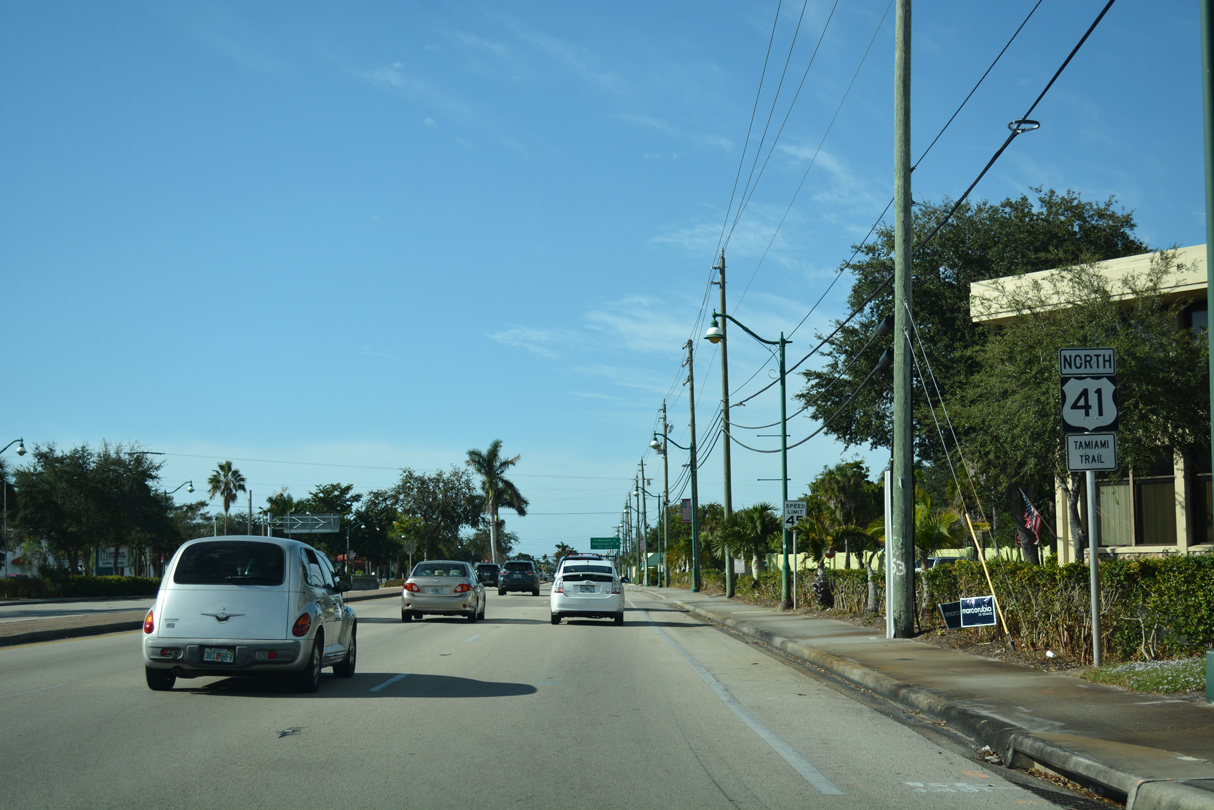
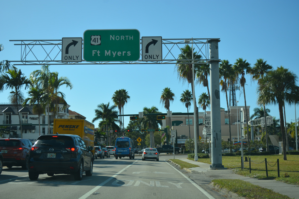
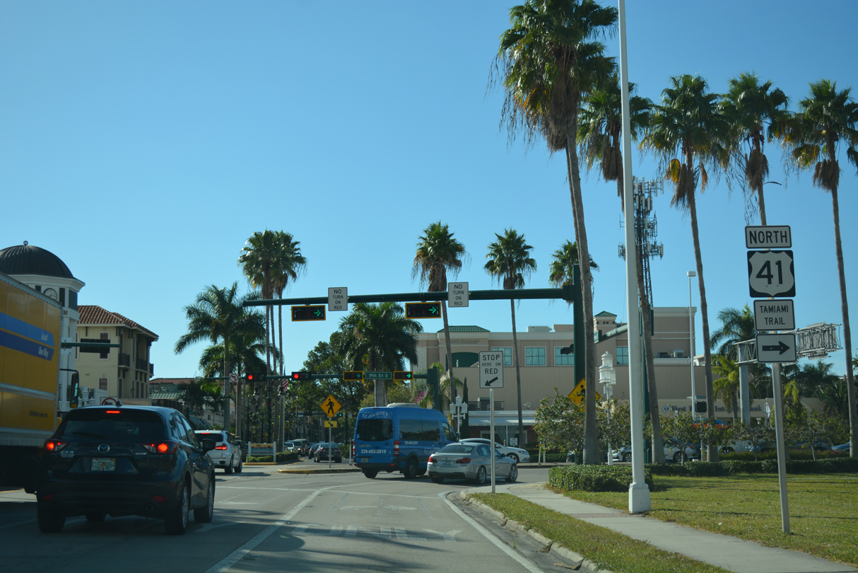
Northbound U.S. 41 reaches the Naples Towne Center retail area at Guilford Road.
11/26/16
11/26/16

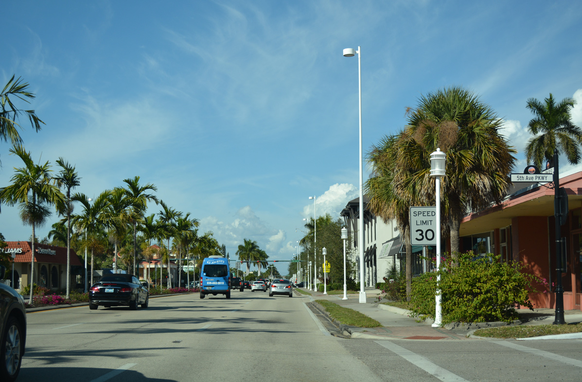
Downtown Naples lies two miles northwest of Guilford Road, followed by Fort Myers in 36 more miles.
11/26/16
11/26/16
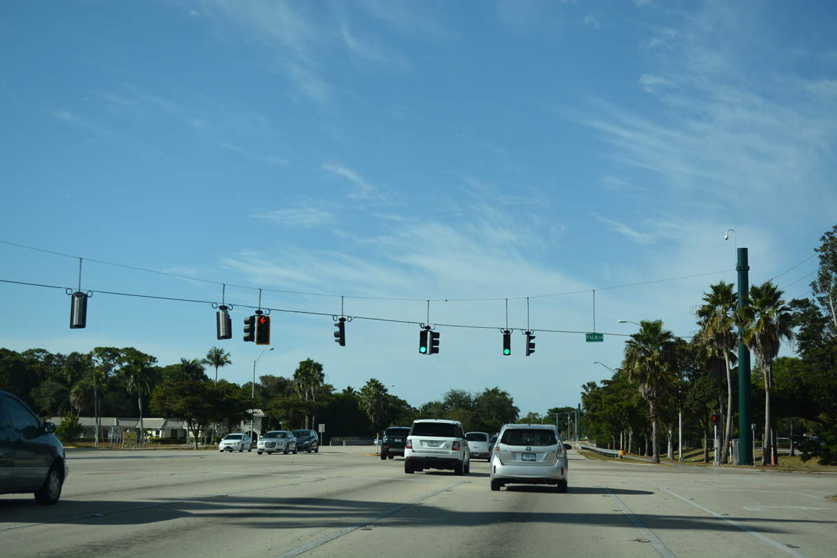
Palm Drive stems north from U.S. 41 by Naples Towne Center to The Glades Golf & Country Club and the back side of the Collier County government center.
11/26/16
11/26/16
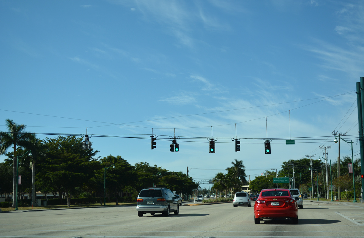
Courthouse Shadows shopping center lies across from the Collier County Government Complex.
11/26/16
11/26/16
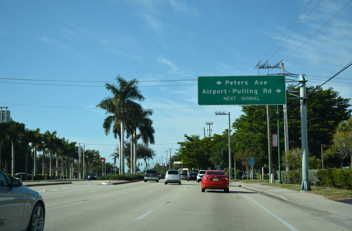
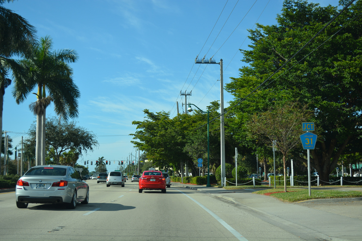
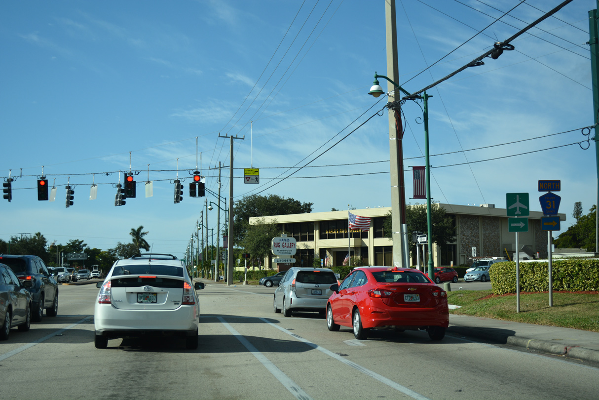
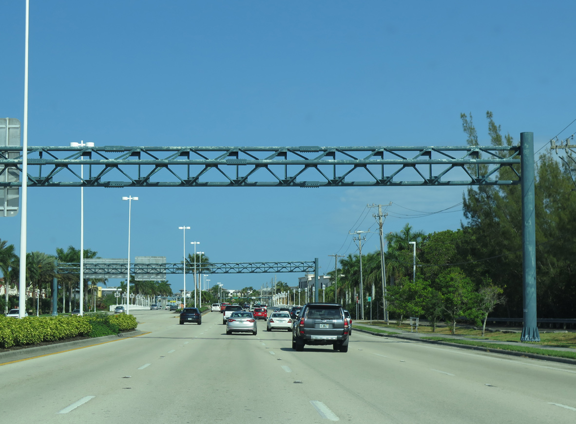
U.S. 41 (Tamiami Trail) intersects the south end of Collier County Road 31 (Airport-Pulling Road) adjacent to the Collier County Courthouse.
11/26/16
11/26/16
Airport-Pulling Road constitutes a major arterial route leading north from U.S. 41 through East Naples to Naples Municipal Airport (APF) and CR 846 at Palm River Estates.
11/26/16
11/26/16
Providing part of a bypass route for U.S. 41 around Downtown Naples with CR 896 (Pine Ridge Road) west, Collier County Road 31 travels ten miles north to CR 846 (Immokalee Road).
11/26/16
11/26/16
U.S. 41 (Tamiami Trail) advances northwest from Airport-Pulling Road to Bayshore Drive, the former continuation of CR 31 south.
11/26/16
11/26/16
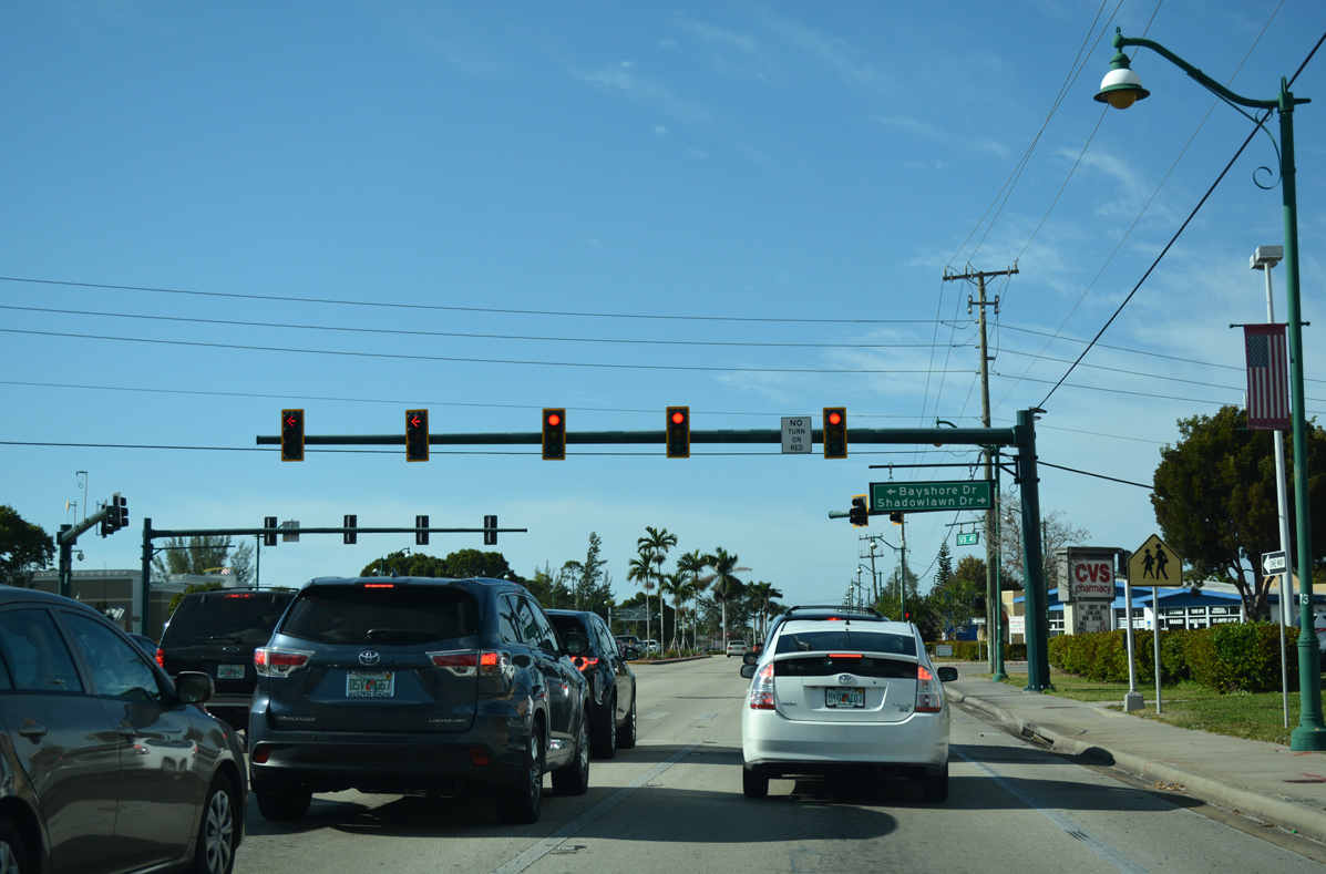
Bayshore Drive heads south past Gulfgate Plaza shopping center to connect with Thomasson Drive. Thomasson Drive leads west to Naples Botanical Garden and the east shore of Naples Bay near Harbor Head and east back to U.S. 41 at CR 864.
11/26/16
11/26/16
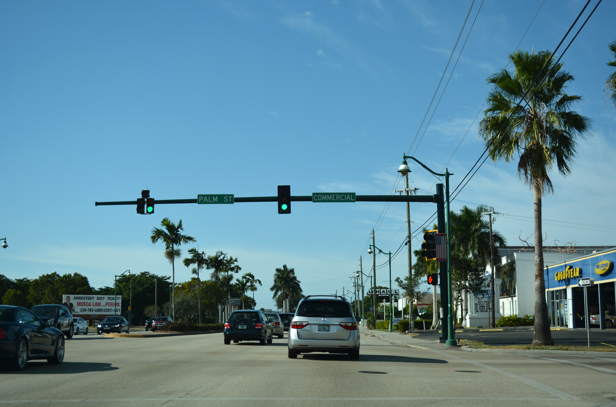
Palm Street extends south from U.S. 41 (Tamiami Trail) to the Naples Land Yacht Harbor Club, while Commercial Drive is a short connector north to SR 84 (Davis Boulevard).
11/26/16
11/26/16

The west end of State Road 84 (Davis Boulevard) merges with U.S. 41 (Tamiami Trail / 5th Avenue) across from Sandpiper Street. Unmarked from U.S. 41 north, SR 84 goes 6.46 miles east to SR 951 (Collier Boulevard) adjacent to I-75 (Alligator Alley).
11/26/16
11/26/16
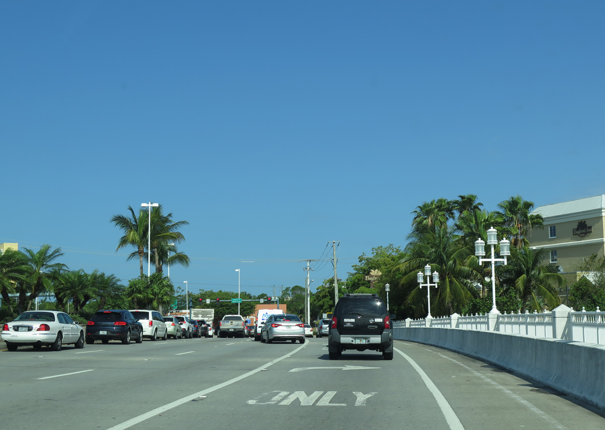
Continuing northwest from SR 84 (Davis Boulevard), U.S. 41 (5th Avenue) expands to eight overall lanes.
04/26/16
04/26/16
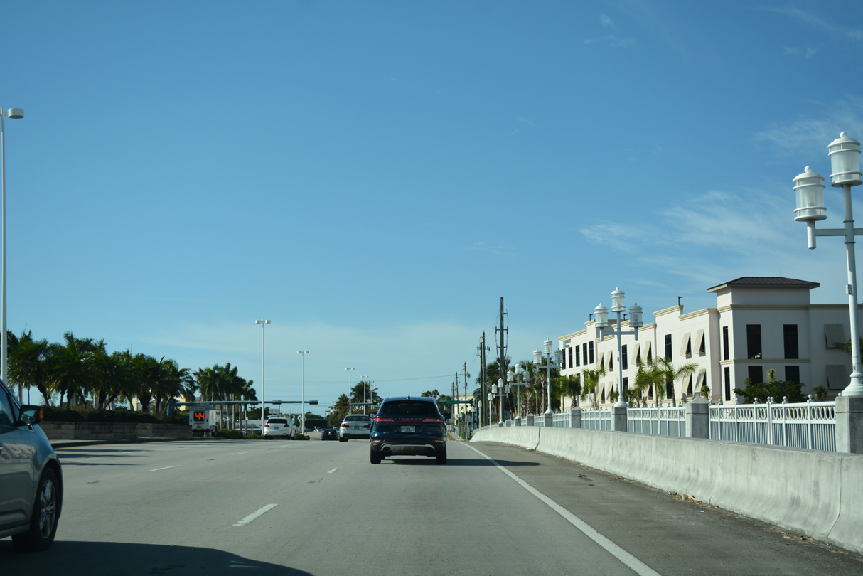
U.S. 41 crosses over the Gordon River onto an island at the north end of Naples Bay.
11/26/16
11/26/16
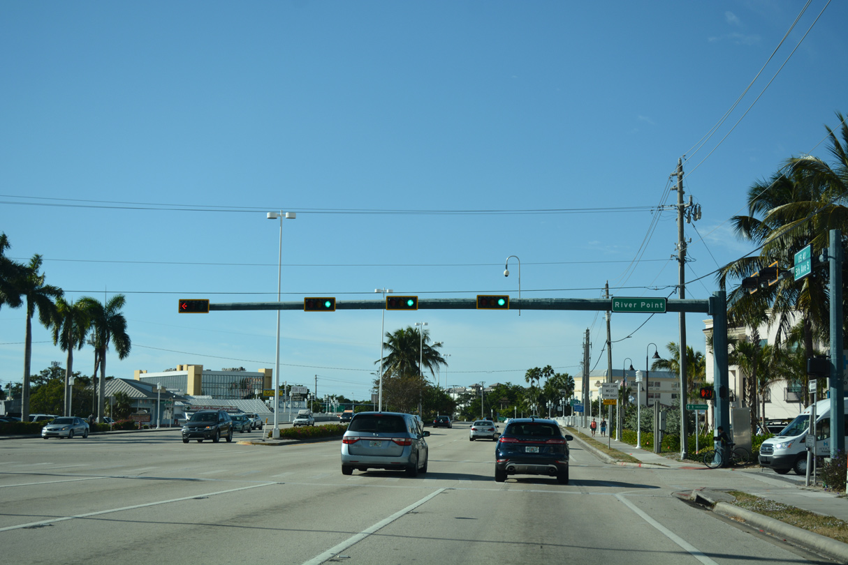
A traffic light operates at River Point Drive ahead of the Tin City Bridge crossing Naples Bay and the Gordon River.
11/26/16
11/26/16
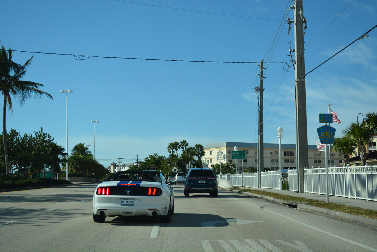
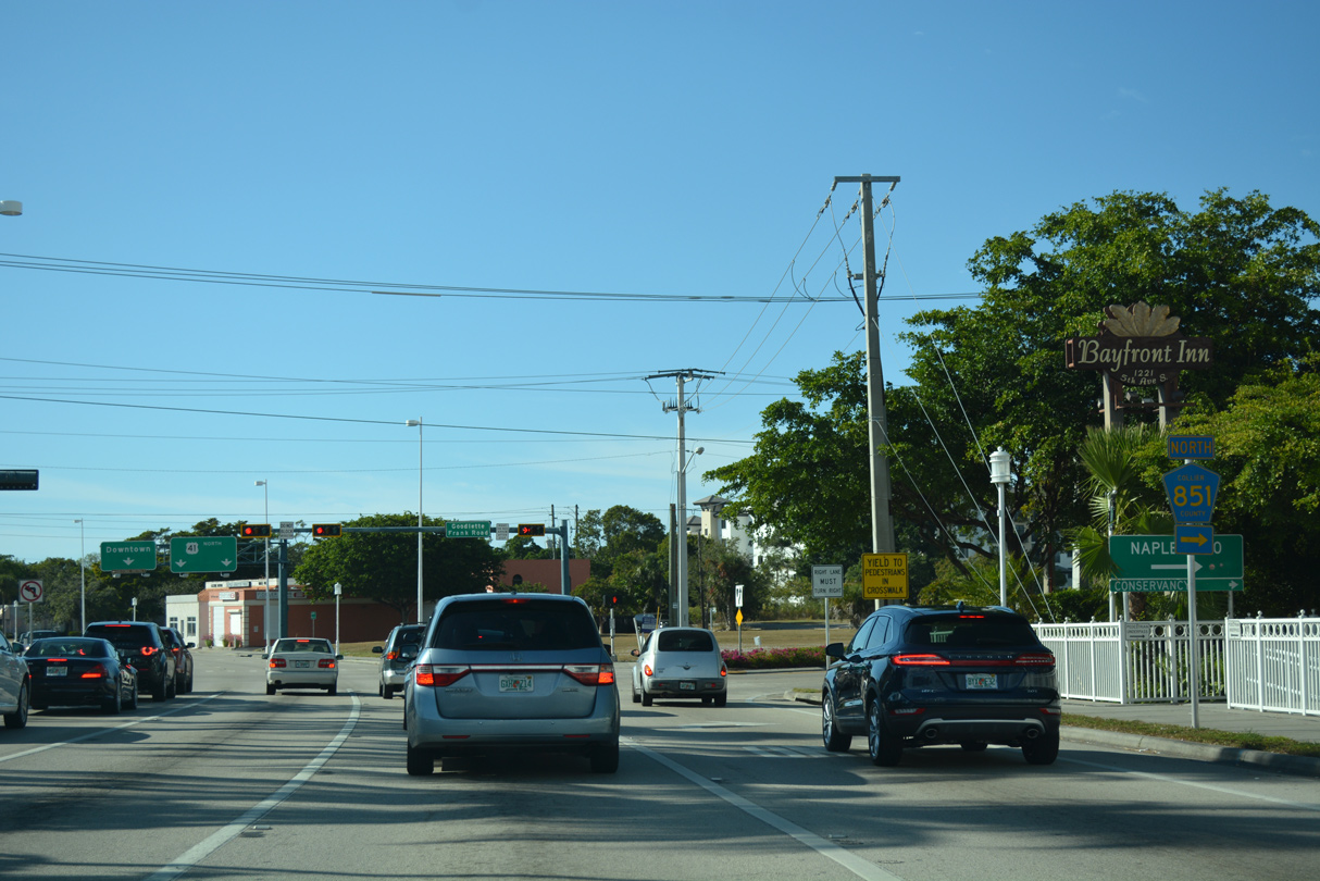
Spanning the Tin City Bridge, U.S. 41 (5th Avenue) approaches CR 851 (Goodlette-Frank Road) north.
11/26/16
11/26/16
Spanning the Tin City Bridge, U.S. 41 (5th Avenue) approaches CR 851 (Goodlette-Frank Road) north.
04/26/16
04/26/16
Collier County Road 851 (Goodlette-Frank Road) parallels U.S. 41 north nine miles to Naples Zoo at Carribeean Gardens and CR 846 (Immokalee Road) in North Naples.
11/26/16
11/26/16
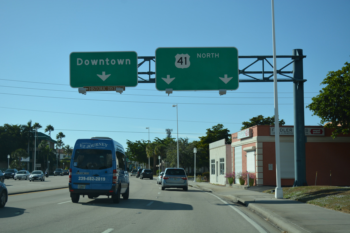
U.S. 41 (5th Avenue) proceeds three blocks west from CR 851 to 9th Street at Downtown Naples.
04/26/16
04/26/16
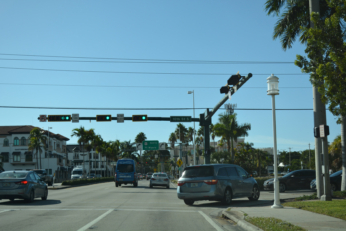
10th Street crosses U.S. 41 (5th Avenue S) by the Naples Square development and two blocks east of Cambler Park.
11/26/16
11/26/16
U.S. 41 turns northward onto 9th Street S as 5th Avenue S enters the Downtown Shopping District, nine blocks off the Gulf of Mexico.
11/26/16
11/26/16
The turn of U.S. 41 from 5th Avenue S onto 9th Street S represents the west end of unsigned SR 90 and northbound beginning of unsigned SR 45. Historically this was also the western terminus of U.S. 94.
11/26/16
11/26/16
Leading away from 5th Avenue S on U.S. 41 (9th Street S) at Downtown Naples.
11/26/16
11/26/16
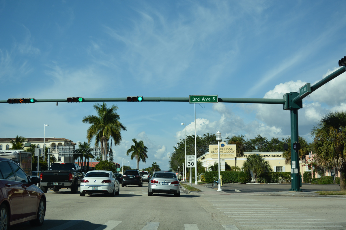
3rd Avenue S intersects U.S. 41 (9th Street S) one block west of Naples Square and one block east of Gulfview Middle School.
04/26/16
04/26/16
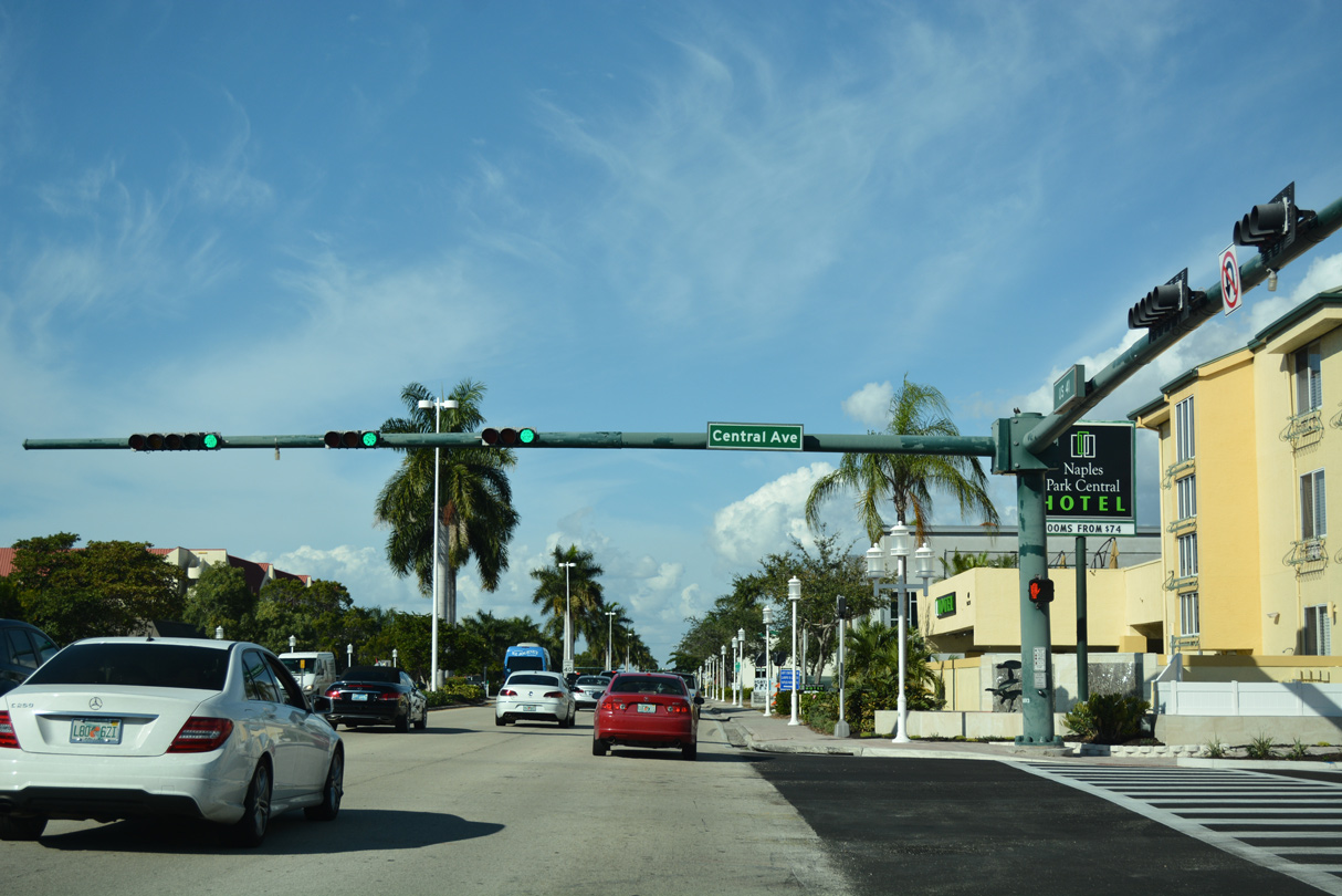
Central Avenue crosses U.S. 41 west from Baker Park along the Gordon River to Gulf Shore Boulevard along the beaches.
11/26/16
11/26/16
11/26/16
11/26/16
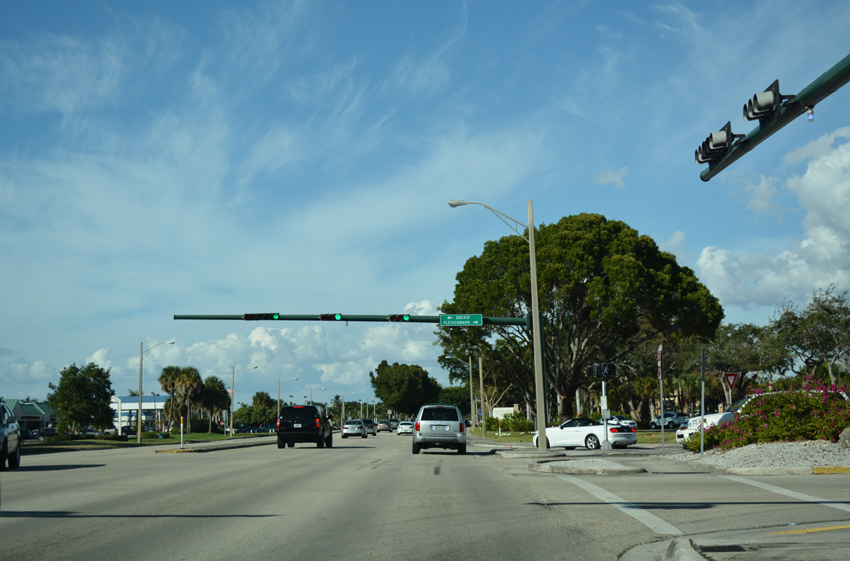
Orchid Drive east and Fleishmann Boiulevard west converge with U.S. 41 (Tamiami) adjacent to Coastland Center mall.
11/26/16
11/26/16
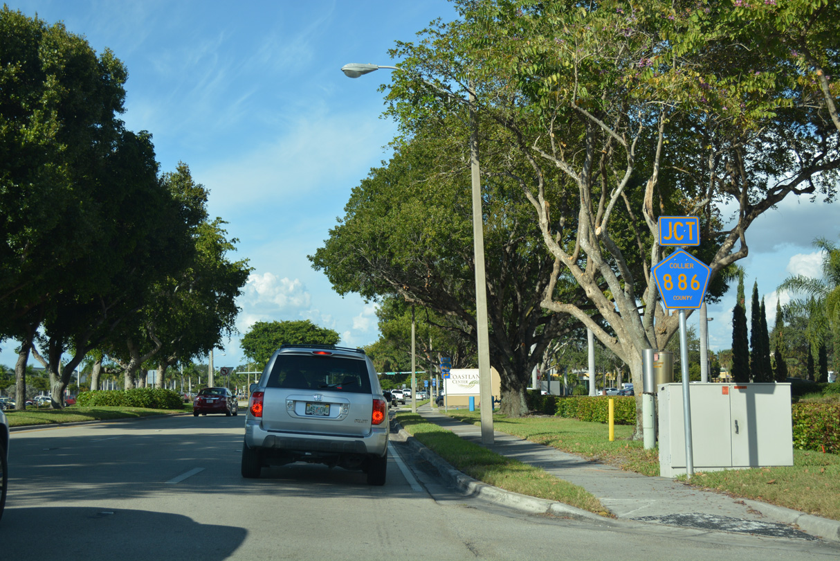
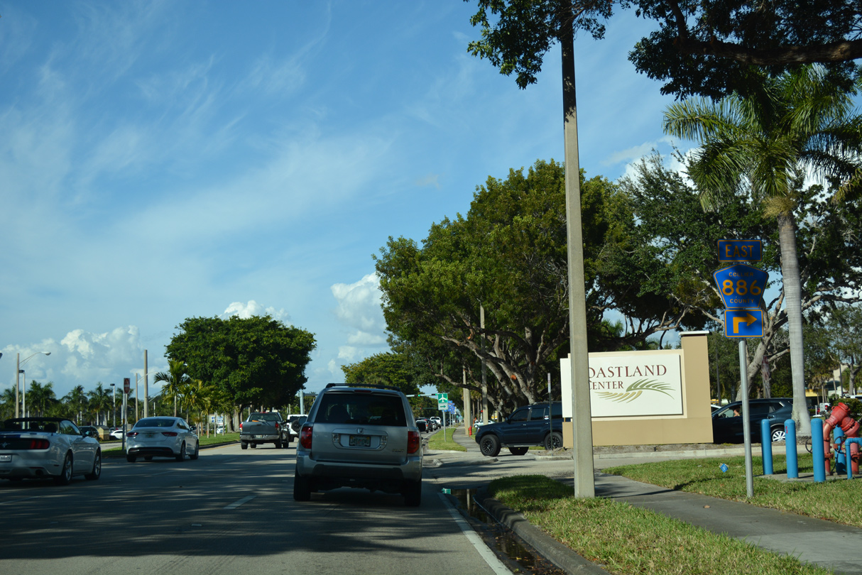
U.S. 41 (Tamiami Trail) runs alongside Coastland Center mall northward to the west end of Collier County Road 886 (Golden Gate Parkway).
11/26/16
11/26/16
11/26/16
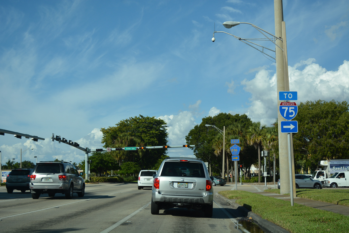
Golden Gate Parkway passes between several golf course communities eastward on the four mile course to a parclo interchange with Interstate 75.
11/26/16
11/26/16
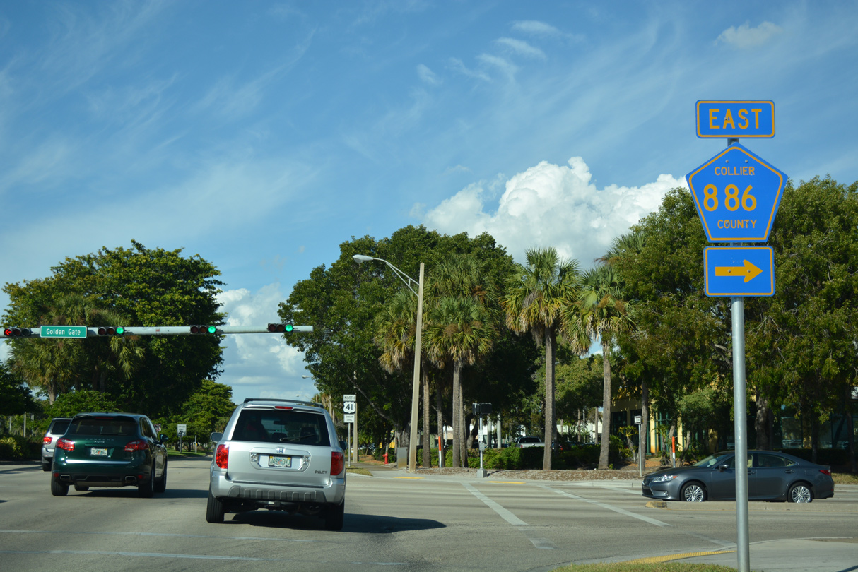
County Road 886 (Golden Gate Parkway) travels east from U.S. 41 to a SPUI with CR 31 (Airport-Pulling Road) and CR 951 (Collier Boulevard) through the Golden Gate community.
11/26/16
11/26/16

Additional retail lines both sides of U.S. 41 north of CR 886 (Golden Gate Parkway).
11/26/16
11/26/16
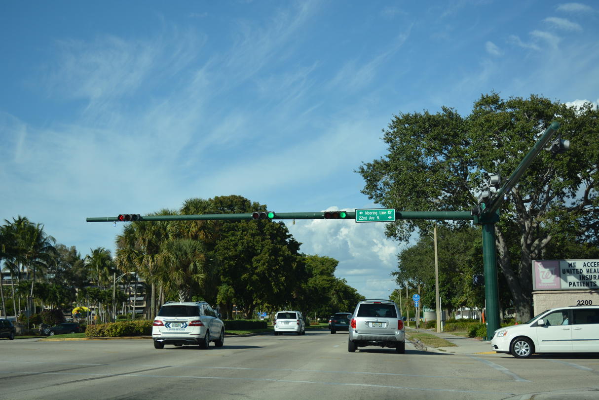
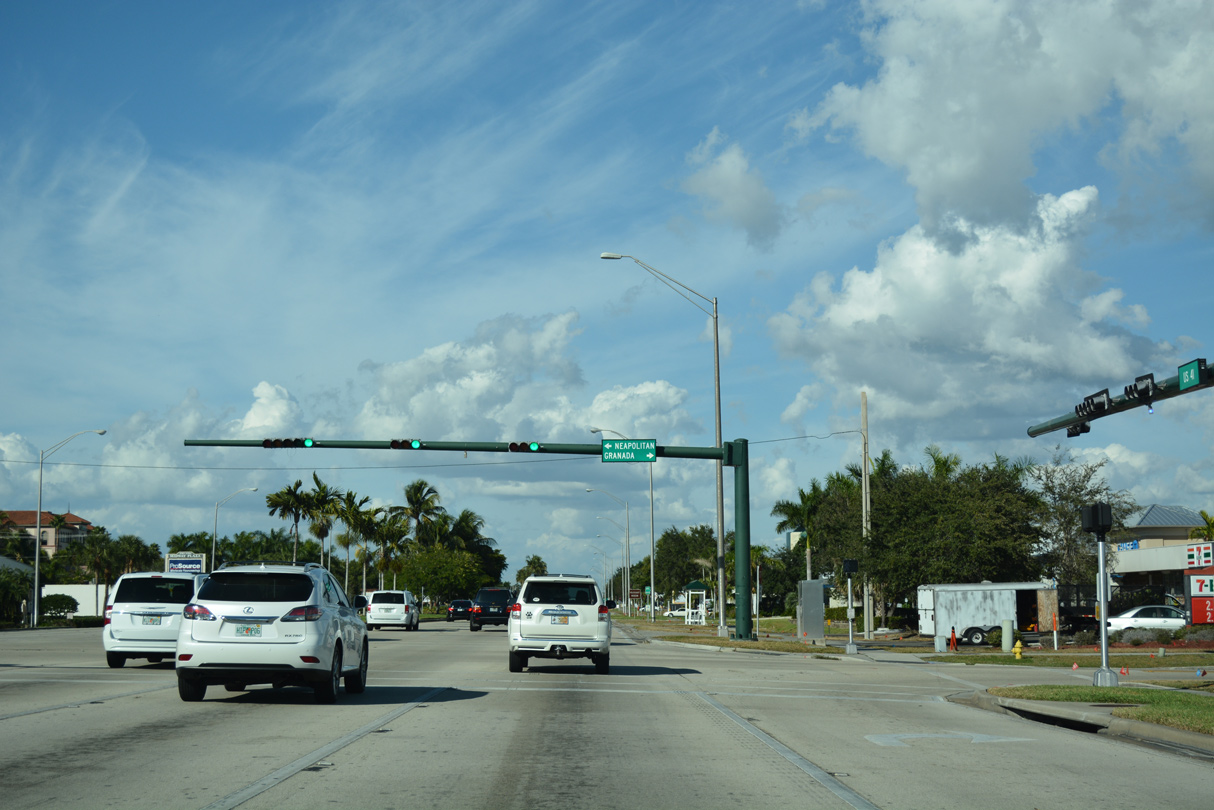
Gulf Shore Boulevard N curves inland as Mooring Line Road to meet U.S. 41 across from 22nd Avenue N.
11/26/16
11/26/16
11/26/16
Harbour Drive connects U.S. 41 with the resumption of Gulf Shore Boulevard N beyond the Moorings golf course community.
11/26/16
11/26/16
11/26/16
11/26/16
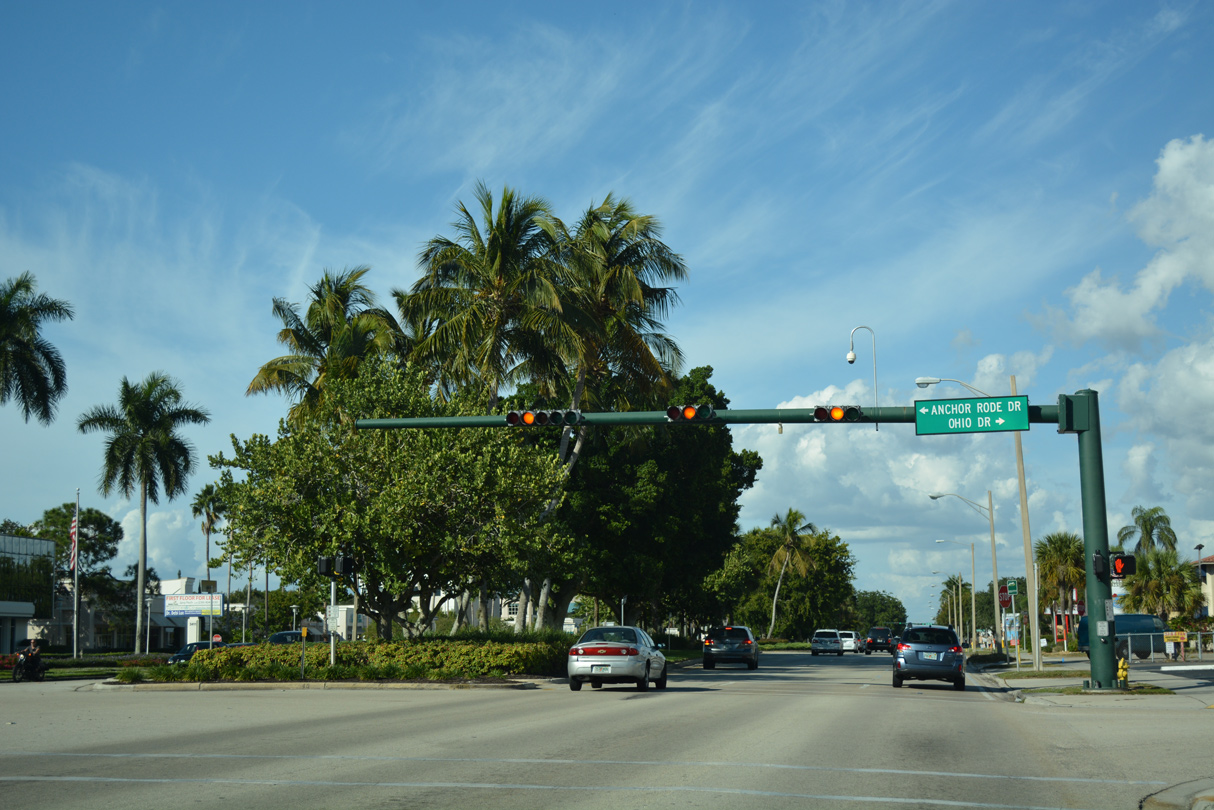
Unsigned CR 898 (Solona Road) ties into U.S. 41 north at a RIRO intersection ahead of this reassurance marker. CR 898 comprises a 0.51 mile link to parallel CR 851 (Goodlette-Frank Road). The ensuing signal is with Old Trail Drive west and Shady Rest Lane east.
11/26/16
11/26/16
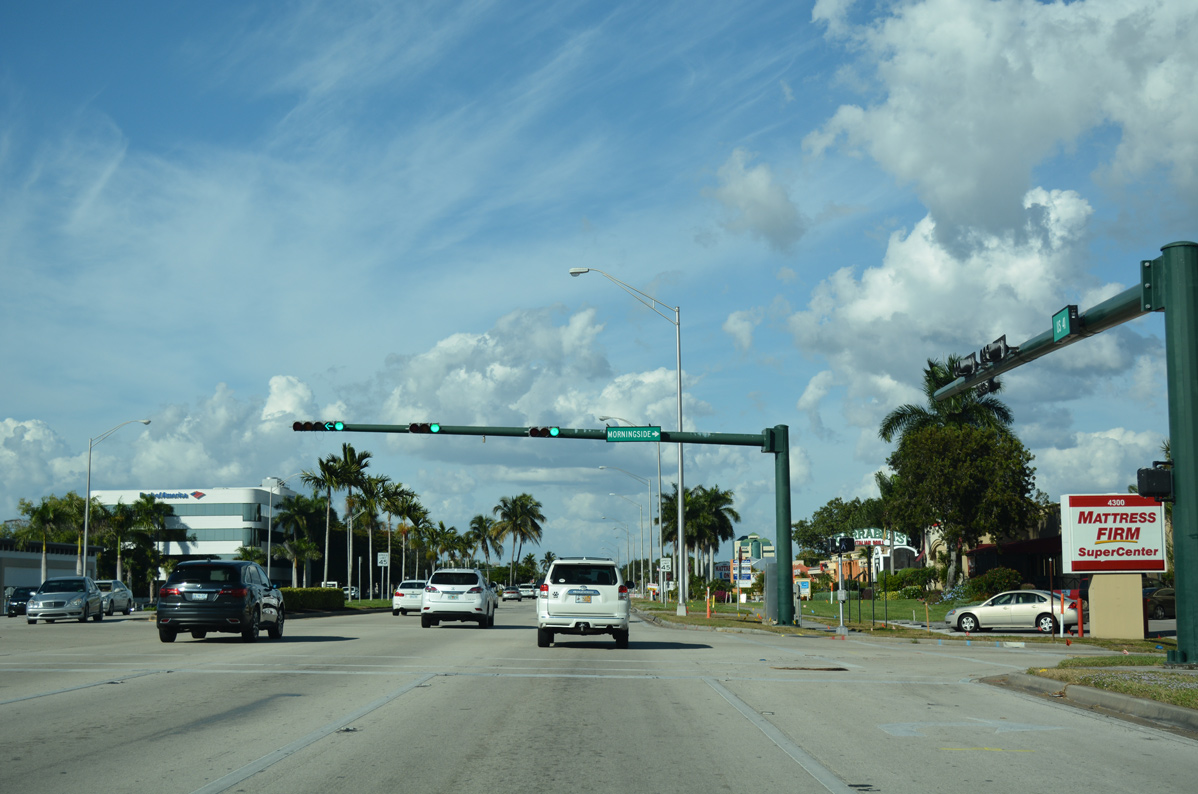
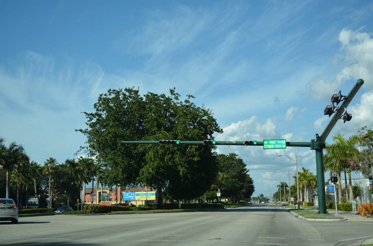
Morningside Drive ties into U.S. 41 from a subdivision opposite Park Shore Plaza.
11/26/16
11/26/16
11/26/16
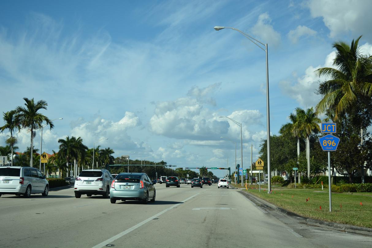
Approaching the west end of Collier County Road 896 (Pine Ridge Road).
11/26/16
11/26/16
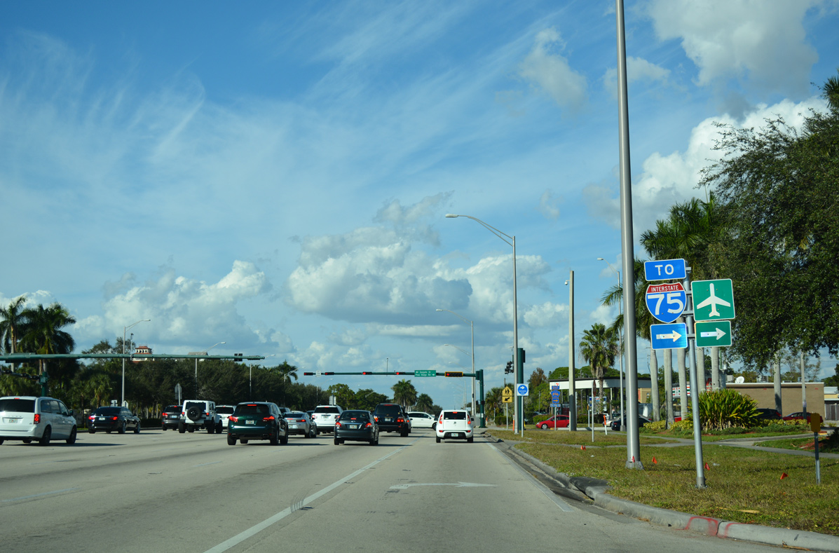
Pine Ridge Road is a six lane arterial east to Interstate 75 and Logan Boulevard, and four lanes for the remainder of the drive to CR 951 (Collier Boulevard) at White Boulevard.
11/26/16
11/26/16
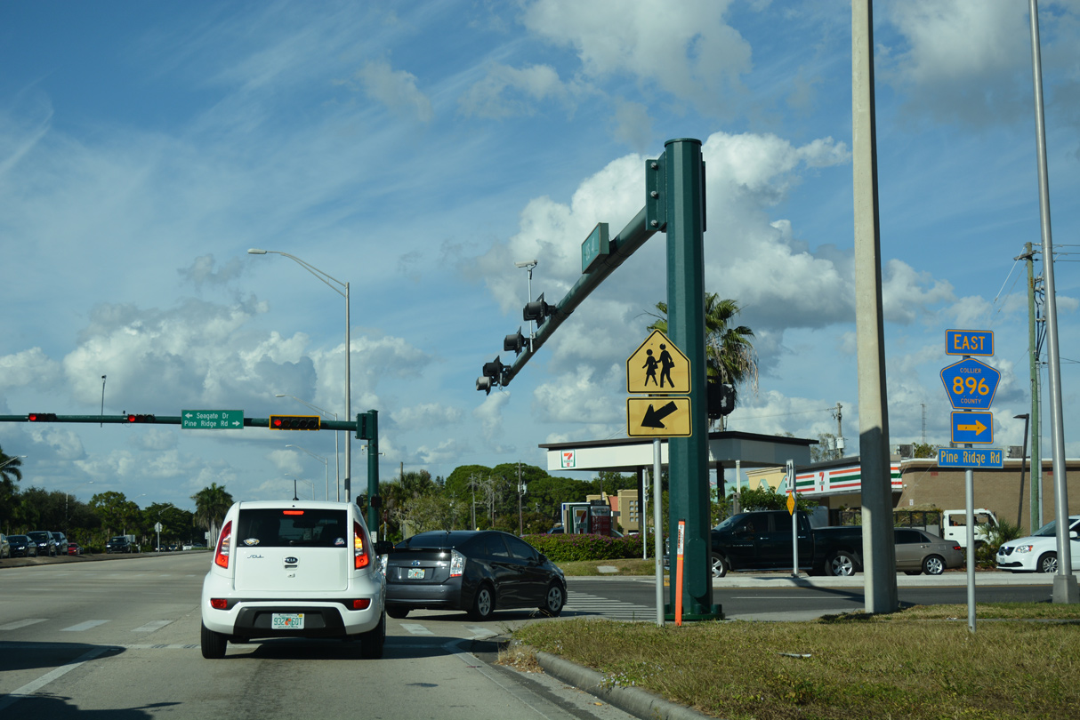
County Road 896 travels seven miles east from U.S. 41 (Tamiami Trail) to CR 951 (Collier Boulevard). Seagate Drive extends the arterial west to Clam Pass Park off Outer Clam Bay.
11/26/16
11/26/16
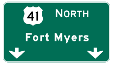
Photo Credits:
- ABRoads: 11/26/16
- Andy Field: 04/26/16
Connect with:
Page Updated Monday July 08, 2024.