
U.S. 41 North - Oconto

 North
North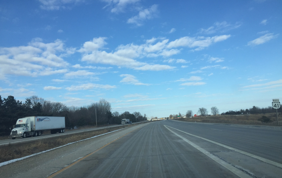
First reassurance sign for U.S. 41 north posted after U.S. 141. The US roadway travels along a ridge between the Pensaukee River and Brookside Creek.
03/03/16
The freeway ends here and U.S. 41 becomes an expressway. Private driveways also tie into four lane highway from here northward.
03/03/16
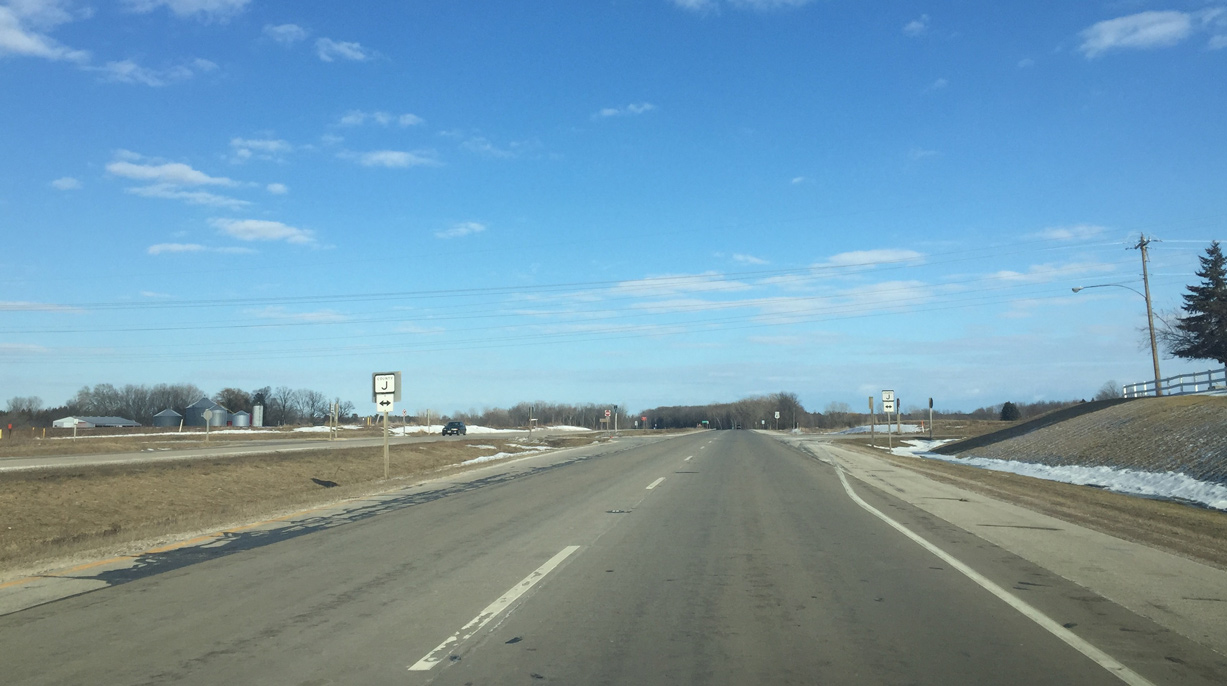
Approaching CTH-J on U.S. 41 north outside the community of Brookside. The country trunk highway travels the height of Oconto County to Marinette County.
03/03/16
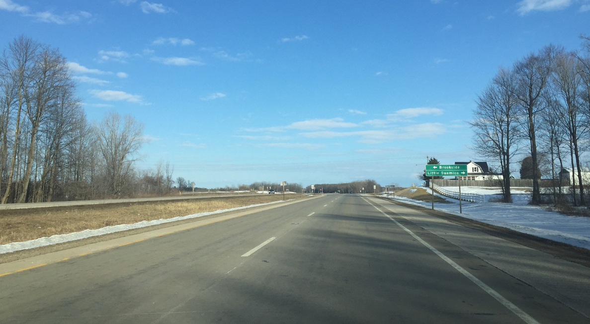
County J continues south from Little Suamico into Brown County to intersect with County EB.
03/03/16

Confirming marker for U.S. 41 posted as the highway leaves CTH-J and turns northeast.
03/03/16
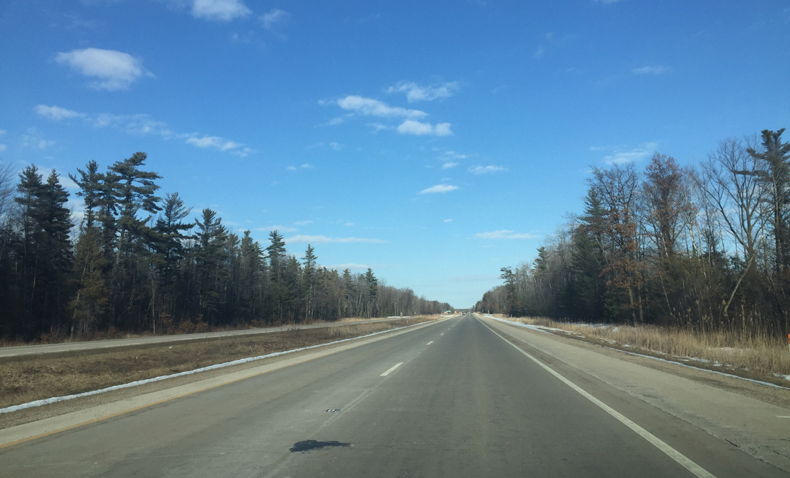
Continuing north on U.S. 41 through wooded areas to the south of the Pensaukee River.
03/03/16
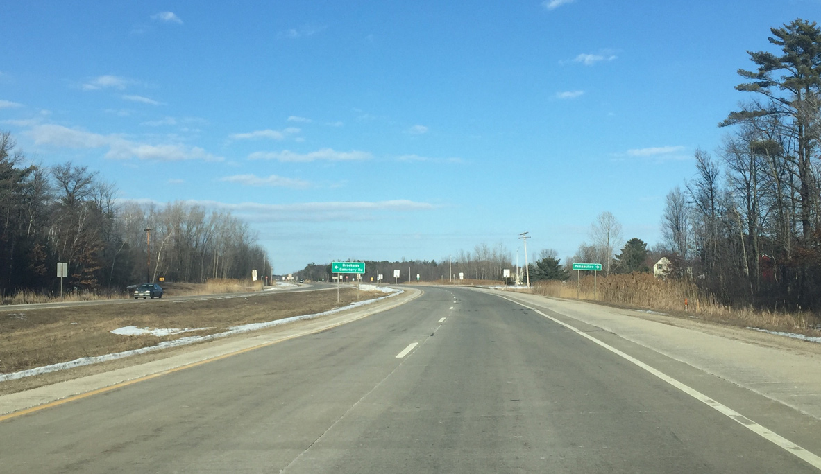
Brookside Cemetery Road east and County SS west come together at U.S. 41 west of Pensaukee.
03/03/16
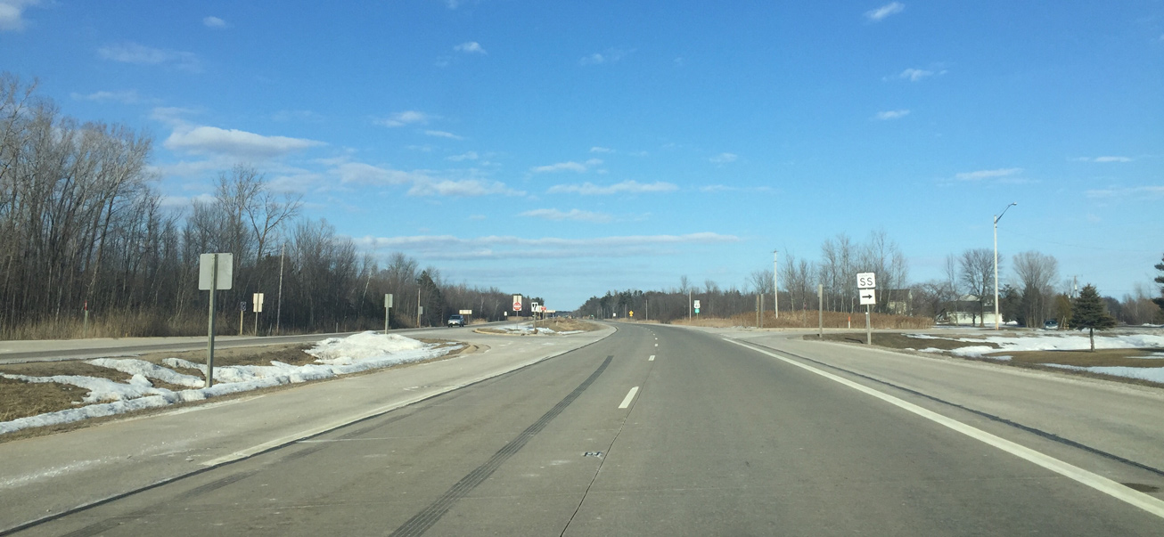
Oconto County SS travels just 1.6 miles between U.S. 41 and CTH-S in Pensaukee. A portion of the route is the pre-expressway alignment of U.S. 41.
03/03/16
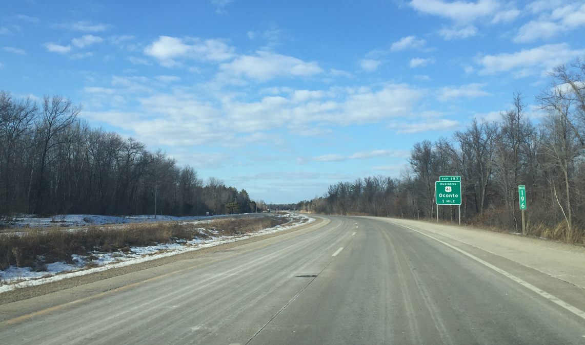
Approaching the county seat of Oconto, U.S. 41 upgrades to a freeway bypass. Forthcoming Business U.S. 41 follows the pre bypass route of U.S. 41 along Smith Avenue. The bypass was completed in 2009.
03/03/16
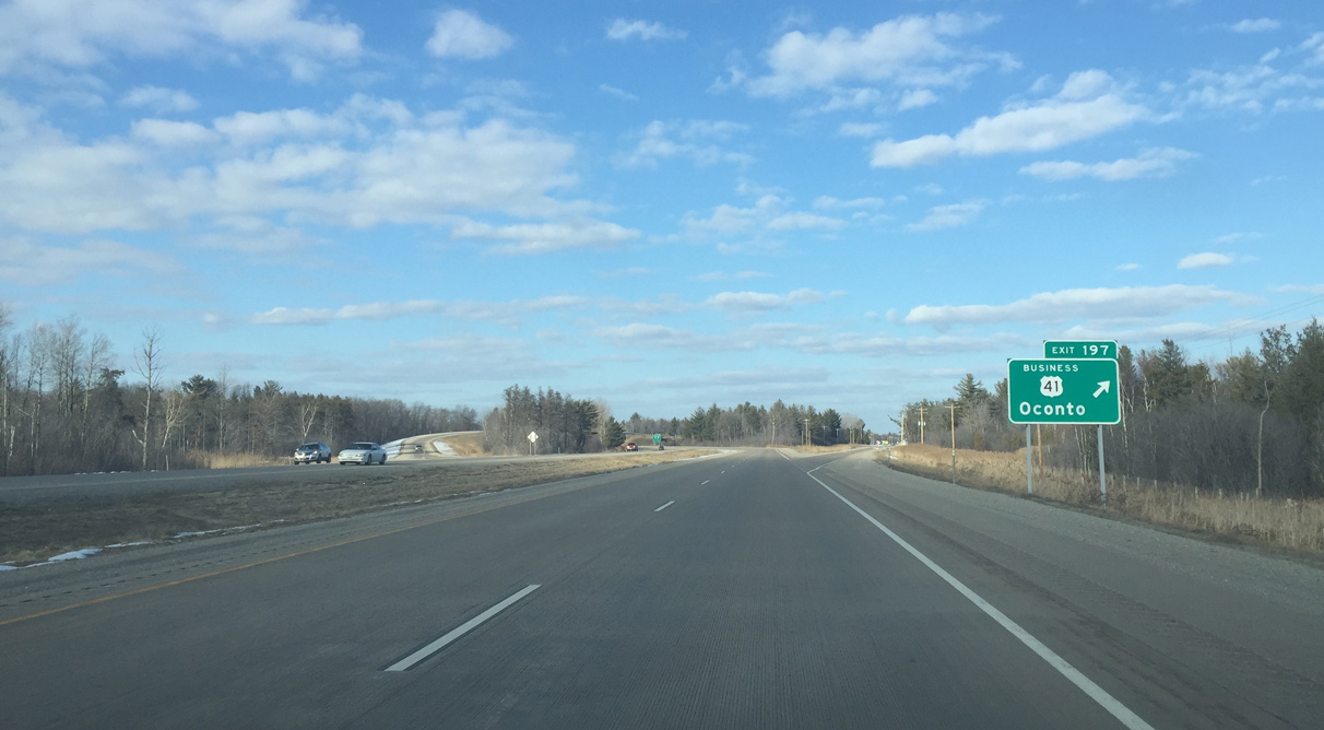
A wye interchange (Exit 197) takes Business U.S. 41 northeast from the U.S. 41 freeway. Northbound re entry can be accessed at either Wis 22 or the north end of the business route.
03/03/16
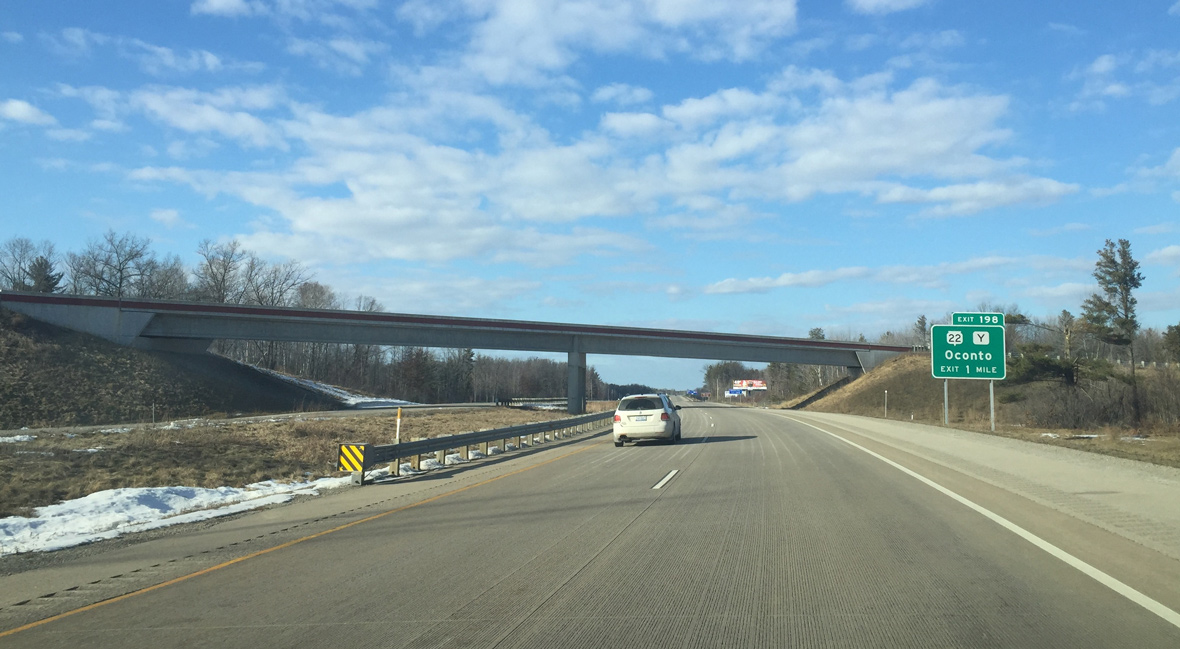
Wis 22 ends at U.S. 41 and Exit 198 in one mile. The eastern terminus was moved about a mile to the west when the bypass opened.
03/03/16
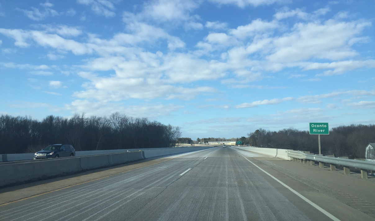
Crossing the Oconto River along U.S. 41 north. The 57 mile river flows east from the confluence of north and south branches at Suring to Green Bay at the city of Oconto.
03/03/16
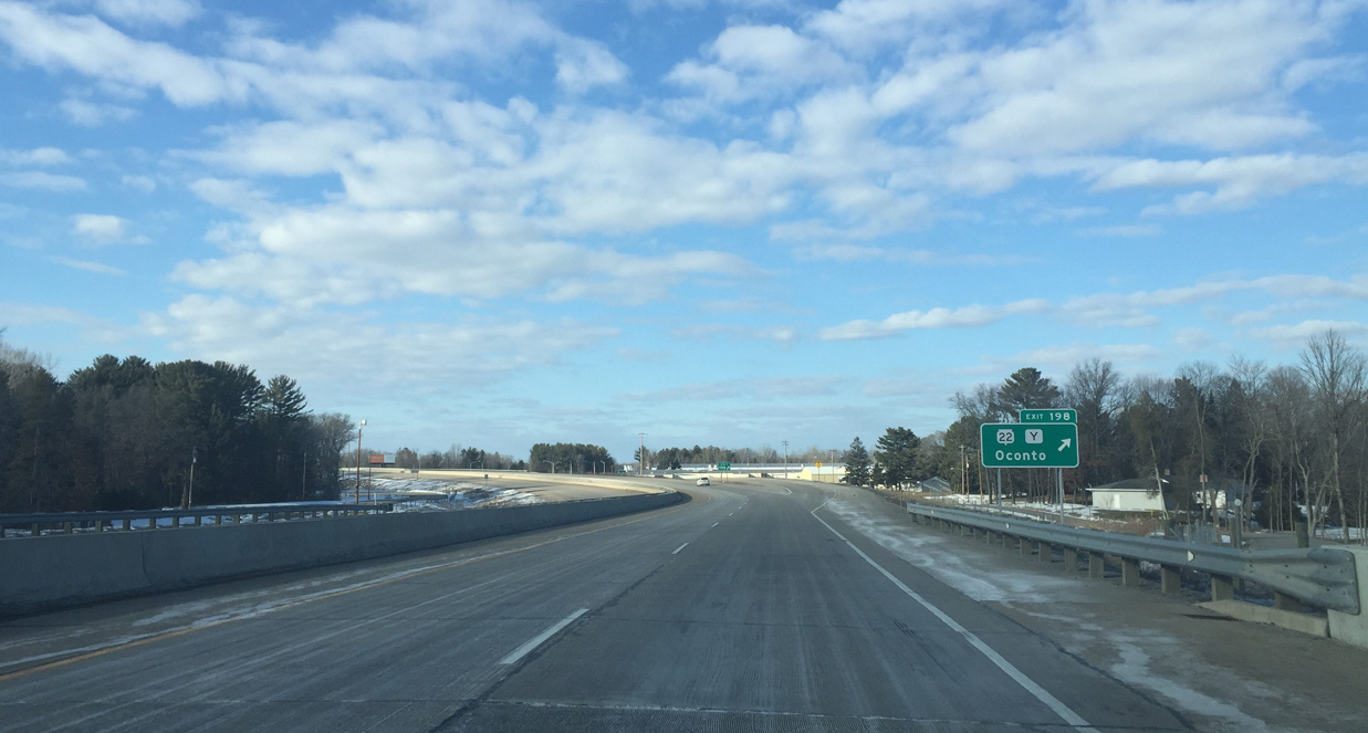
Entering the dumbbell interchange with Wis 22 west and County Y (Charles Street) east. County Y travels through Downtown Oconto to loop northeast along the west shore of Green Bay. Wis 22 travels 172 miles overall in a diagonal route southwest to Shawano. Waupaca, Wautoma, Montello and U.S. 51 north of the Madison area.
03/03/16

Photo Credits:
- Peter Johnson: 03/03/16
Page Updated Tuesday April 19, 2016.