
U.S. 41 South - Lake County

 East
East  South
South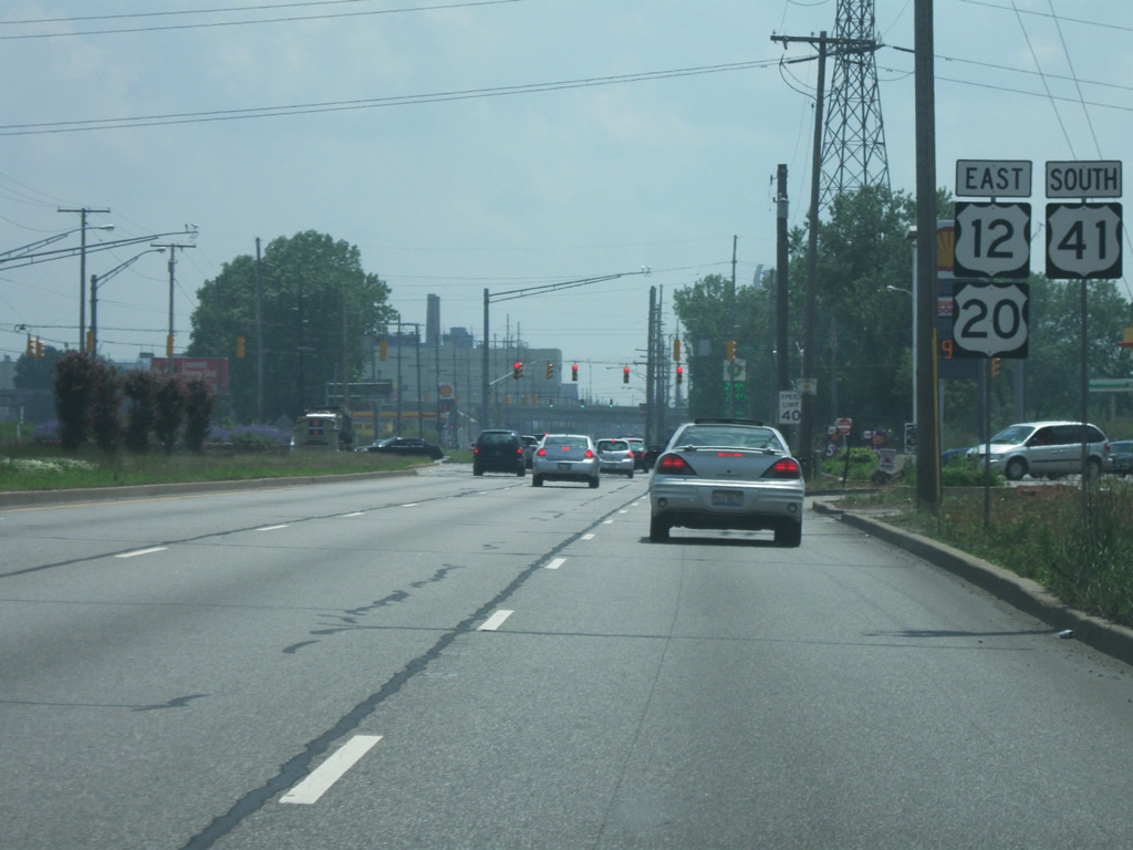
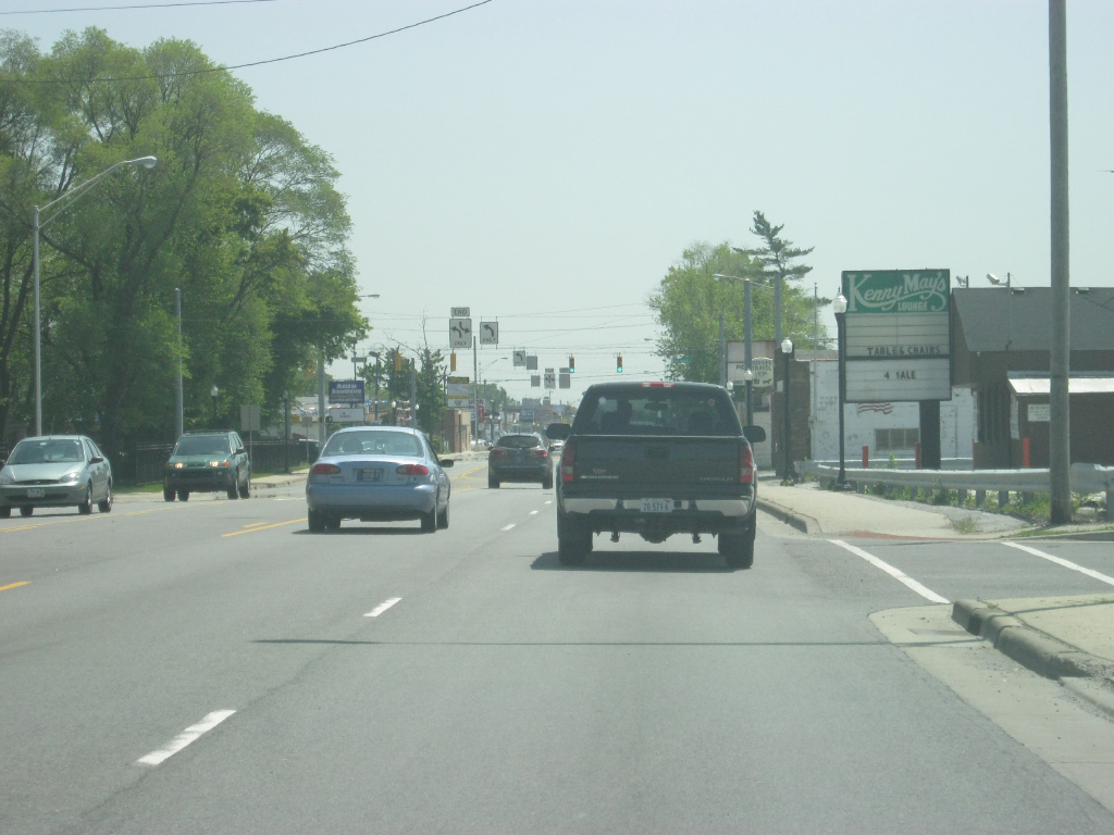
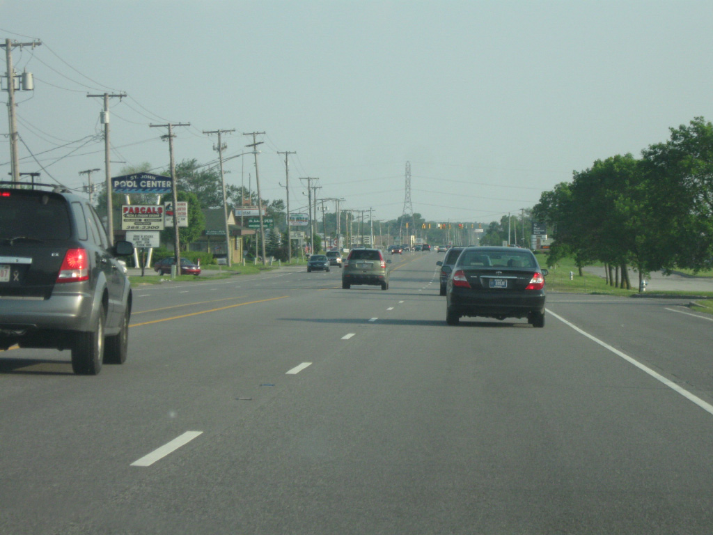
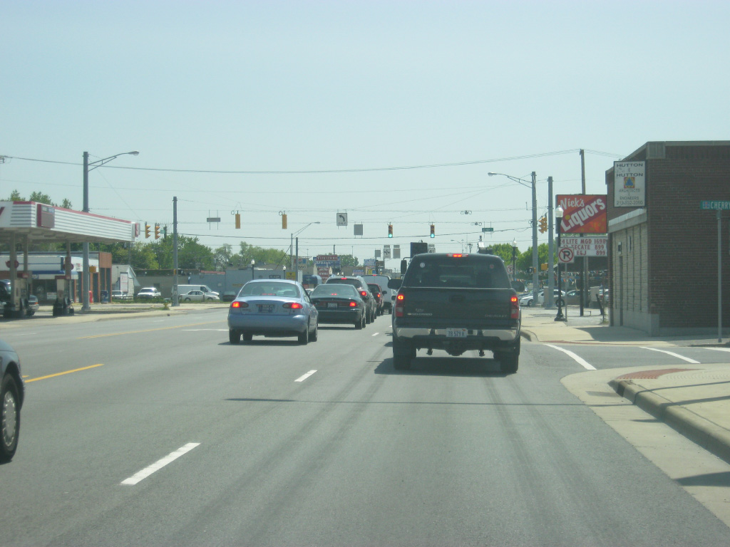
Along U.S. 12-20-41 (Indianapolis Boulevard) east of the Horseshoe Casino. The Indiana side of the border is notable for having several gas stations offering lower gas prices, among other items, than in Chicago, that bring plenty of Chicagoans across the border. Just south of this location, U.S. 12/20 continue along Indianapolis Boulevard toward the cities of Whiting and East Chicago, while U.S. 41 heads south onto Calumet Avenue.
05/23/10

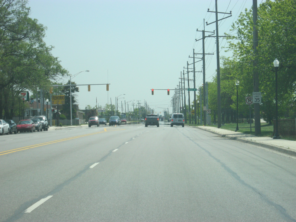
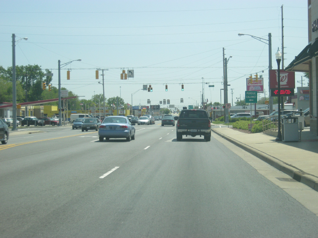
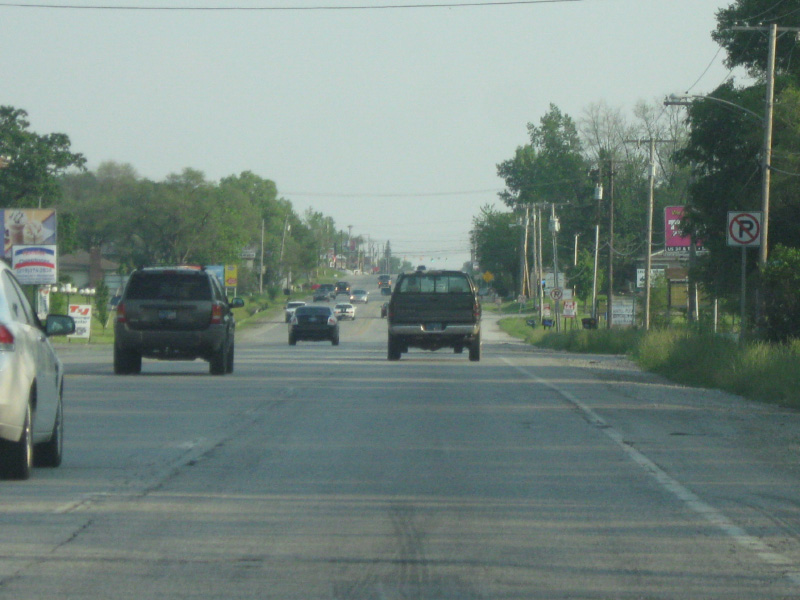
South of the split from U.S. 12/20 (Indianapolis Boulevard), U.S. 41 follows Calumet Avenue across the spine of the city of Hammond. Through most of Northwest Indiana, U.S. 41 will follow a four lane undivided highway across the various municipalities of this region, affectionately called "da region."
05/13/12

Now in the Robertsdale neighborhood, U.S. 41 (Calumet Avenue) has an intersection with 119th Street. To the east, 119th Street becomes the main street for the small city of Whiting. Although Robertsdale is a part of Hammond, it works more closely with Whiting due to its isolation from the rest of Hammond.
05/13/12
121st Street turns east from U.S. 41 (Calumet Avenue) and also enters the Whiting area, eventually leading straight into the BP Refinery. Most of the economy in this area relies on manufacturing based off the ports off of Lake Michigan.
05/13/12
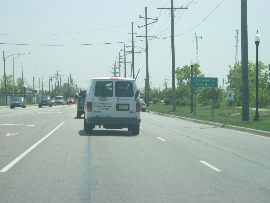
Sheffield Avenue turns off of U.S. 41 (Calumet Avenue) to serve the neighborhoods in Hammond that are adjacent to the Illinois state line, providing a nearly direct path to Hammond's downtown.
05/13/12
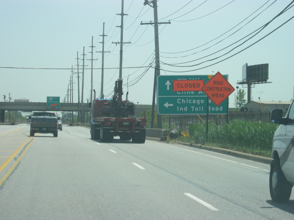
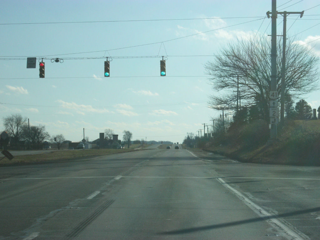
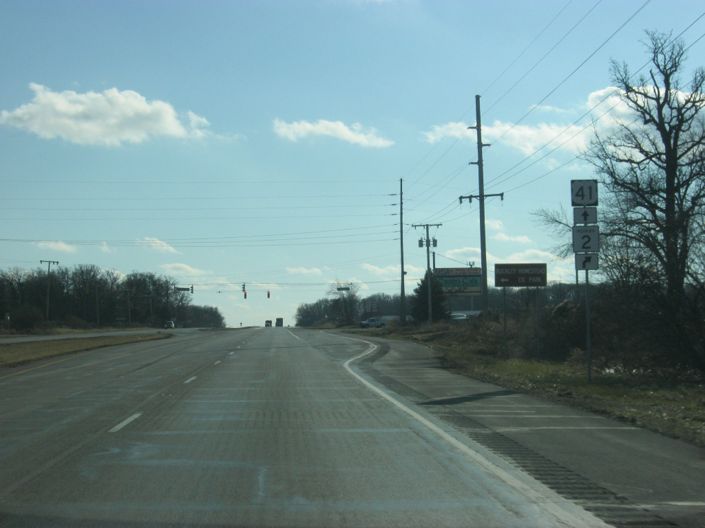
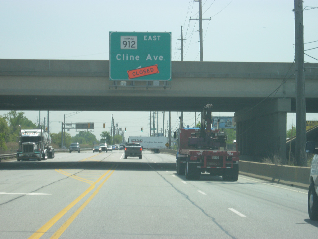
U.S. 41 (Calumet Avenue) comes up to the interchange with the SR 912 (Cline Avenue) freeway. SR 912's history is too much to mention right now, but as of November 2009 the freeway bridge that spanned from this interchange to the Michigan Avenue interchange in East Chicago was closed due to corrosion of the bridge over the Indiana Harbor and Ship Canal. As of 2013, the highway remains closed from U.S. 41 eastward and its traffic is being directed to the north along U.S. 41 to 129th Street while a permanent solution for the bridge is still being sought, potentially a toll bridge.
05/13/12

South of the SR 912 (Cline Avenue) interchange, U.S. 41 (Calumet Avenue) approaches the interchange with the Indiana Toll Road (Interstate 90). Interstate 90 is the longest interstate in the country, traveling for 3,101 miles from Seattle, Washington to Boston, Massachusetts.
05/13/12
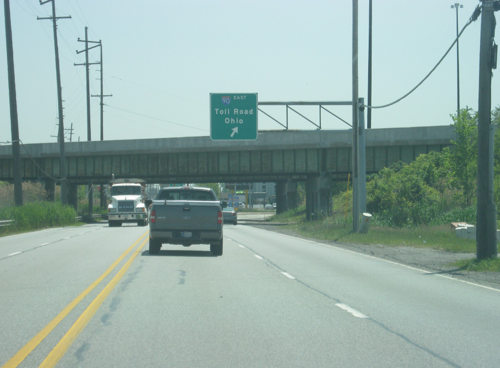
At this point, traffic bound for the eastbound Indiana Toll Road loops away from U.S. 41 south onto Interstate 90. In Indiana, the highway goes for 156 miles along the stretch of the Indiana Toll Road through the communities of Gary, Portage, South Bend, Elkhart and Angola en route to Toledo, Ohio.
05/13/12

Traffic bound for the Indiana Toll Road westbound toward Chicago is directed to use 141st Street to the east to access Interstate 90.
05/13/12
U.S. 41 (Calumet Avenue) continues south to a variety of business as it heads away from the ramps connecting it to the Indiana Toll Road (Interstate 90).
05/13/12
Coming up to the SR 312 (Chicago Street) intersection, U.S. 41 (Calumet Avenue) crosses a couple of railroad tracks. Unlike other railroad crossings in the Northwest Indiana area, these are at-grade and because of the busy rail traffic in this region, U.S. 41 (Calumet Avenue) can get clogged with traffic waiting for the trains to pass. Among the rail lines that cross here is the South Shore Line, a commuter rail line that connects the communities of South Bend, Michigan City, Chesterton, Portage, Gary, East Chicago and Hammond with Downtown Chicago. The Hammond train station is just a few blocks to the west of U.S. 41 (Calumet Avenue).
05/13/12
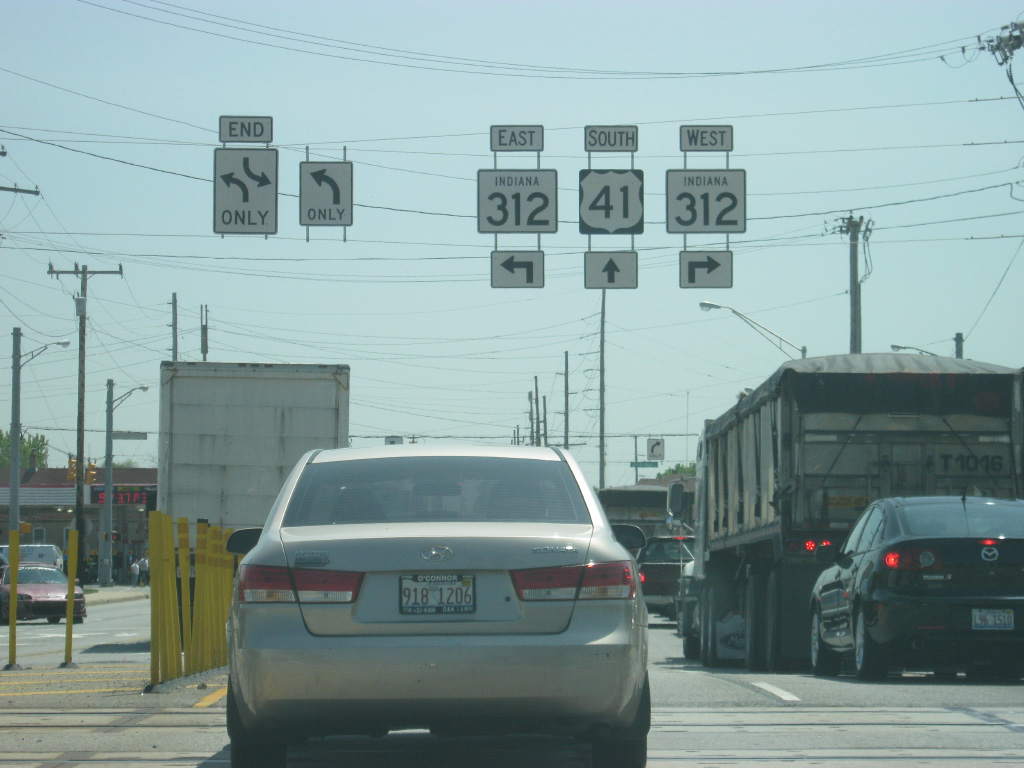
South of the railroad crossing, U.S. 41 (Calumet Avenue) nears the intersection with SR 312 (Chicago Street). SR 312 runs for 5.7 miles from the Illinois state line on Gostlin Street and east across U.S. 41 (Calumet Avenue) to U.S. 20 (Industrial Highway) on the northwest side of Gary.
05/13/12
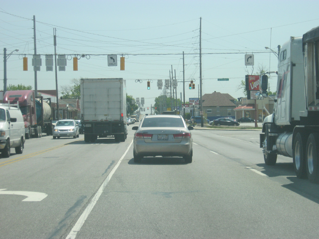
SR 312 (Chicago Street) passes through a residential part on the north side of Hammond as it connects with the town of Burnham in Illinois just over the state line. To the east, SR 312 (Chicago Street) passes through the west side residential neighborhoods in East Chicago before meeting up with SR 912 (Cline Avenue) in an industrial part of East Chicago.
05/13/12
More of the same along U.S. 41 (Calumet Avenue) to the south of the SR 312 (Chicago Street). In the second picture, the highway crosses the Grand Calumet River as it comes up to the intersection with Michigan Street.
05/13/12

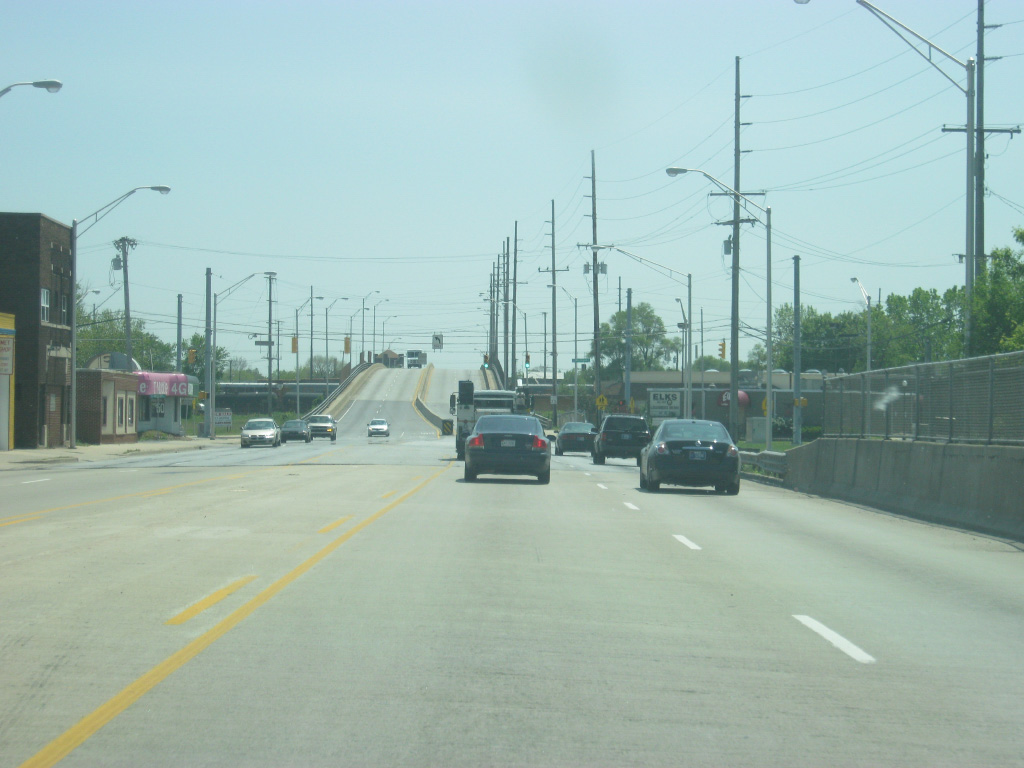
At the Michigan Street intersection, U.S. 41 (Calumet Avenue) rises onto an overpass over additional railroad tracks that travel through the heart of Hammond.
05/13/12

At the top of the railroad crossing, U.S. 41 (Calumet Avenue) enters the central part of Hammond. The first intersection at the base of the overpass is with Sibley Street, which heads west to Downtown Hammond, located near the Illinois state line.
05/13/12
U.S. 41 (Calumet Avenue) goes through a commercial stretch with older buildings to the east of Downtown Hammond. This does give one a feel of what Hammond is like. While it does not receive the same reputation of neighboring Gary, Hammond has shrunk in population from its high of 111,698 in 1960 when suburban sprawl started to the south of both cities. This left U.S. 41 (Calumet Avenue) abandoned in many ways as businesses started locating themselves further south in Highland and Schererville.
05/13/12
South of the Highland Street intersection, U.S. 41 (Calumet Avenue) continues through some newer commercial businesses as one can see how redevelopment has taken place along various parts of the highway. Still it is mostly road-oriented businesses that serve the local community as well.
05/13/12
Coming up on the intersection with U.S. 41 (Calumet Avenue) and 173rd Street, which heads east across the south side of Hammond toward the Purdue University-Calumet Campus.
05/13/12
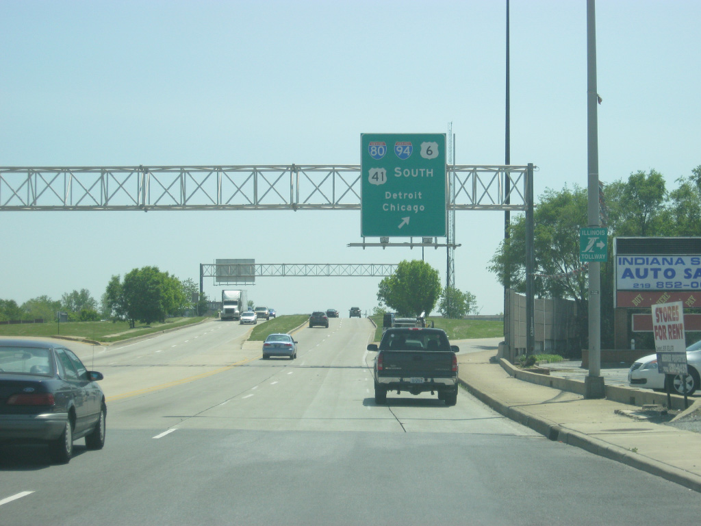
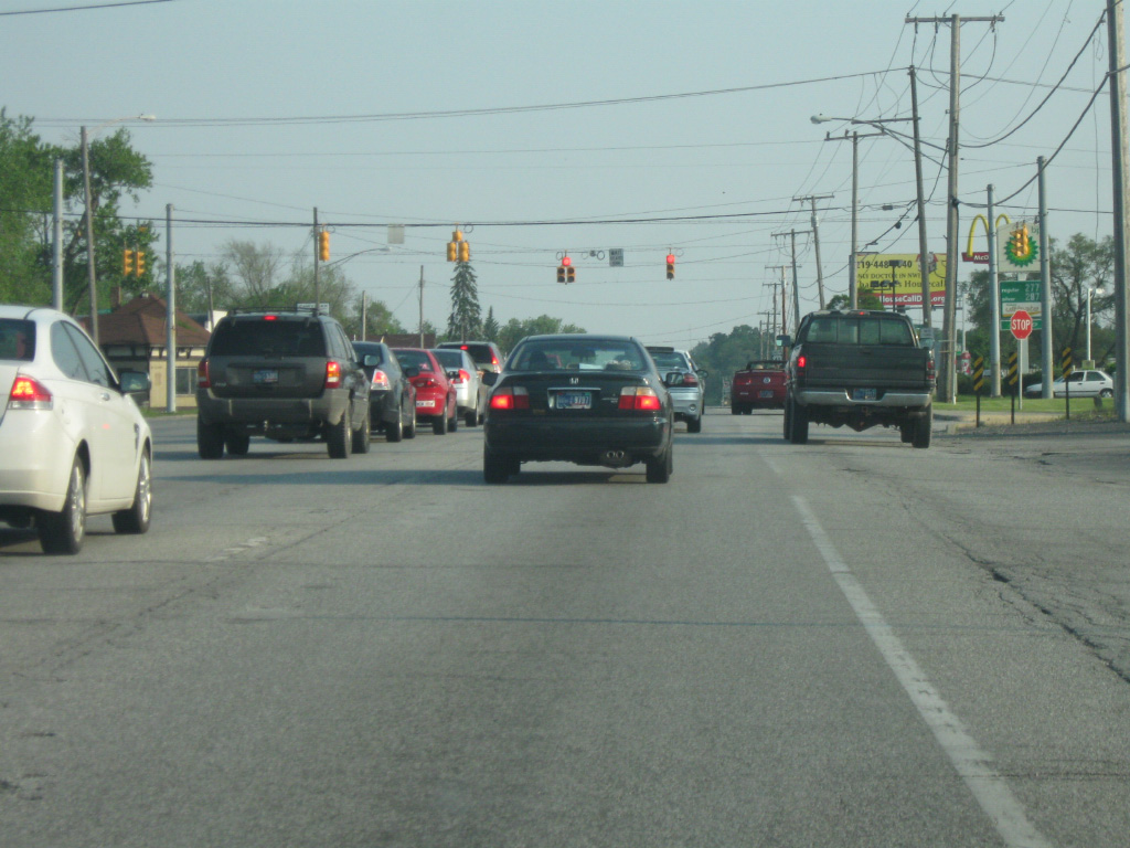
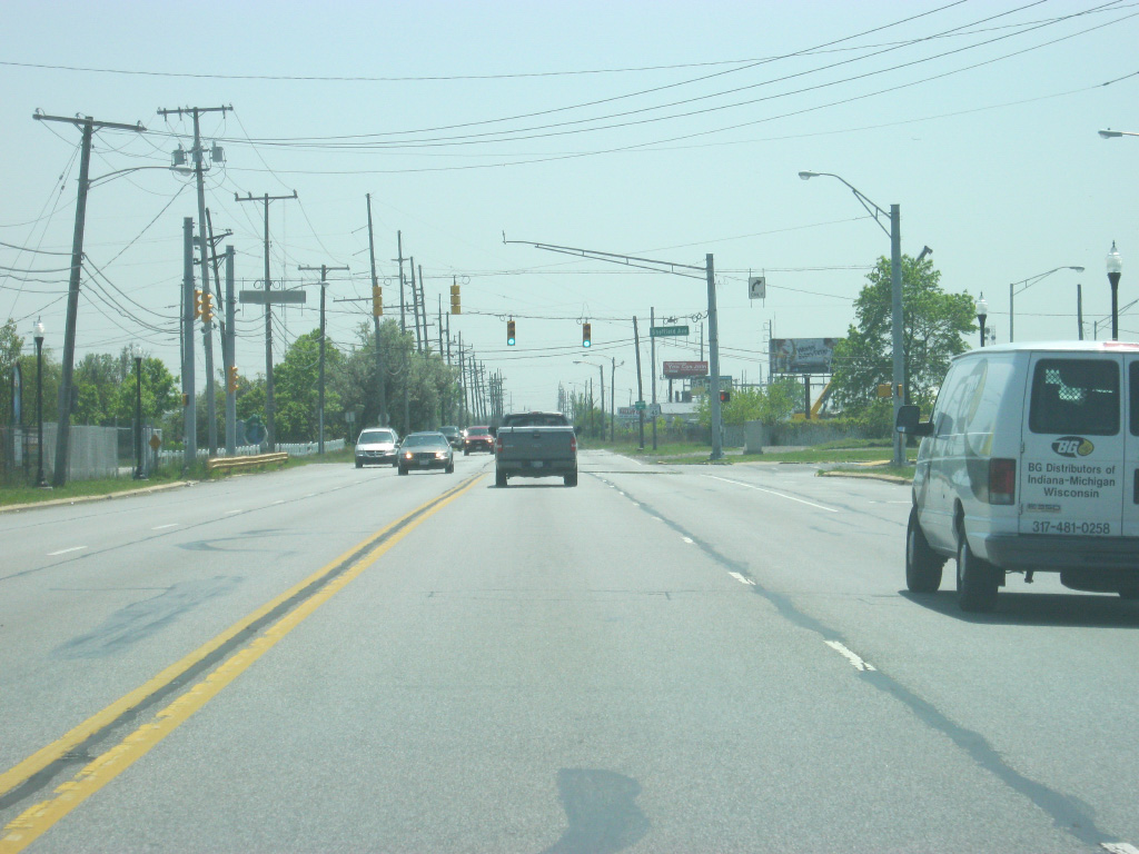
U.S. 41 (Calumet Avenue) south has an exit ramp that serves the Borman Expressway (I-80-94/U.S. 6). Interstate 80 goes for 2,900 miles from San Francisco to Teaneck, New Jersey and follows the Borman Expressway across Northwest Indiana to Exit 16 where it follows the Indiana Toll Road east across Northern Indiana to South Bend and Angola. Interstate 94 runs for 1,585 miles from Billings, Montana to Port Huron, Michigan and runs along the shore of Lake Michigan for a 45 mile trip across Northwest Indiana. An Illinois Tollway trailblazer leads motorists west into Illinois to the Tri-State Tollway, among other highways.
05/13/12
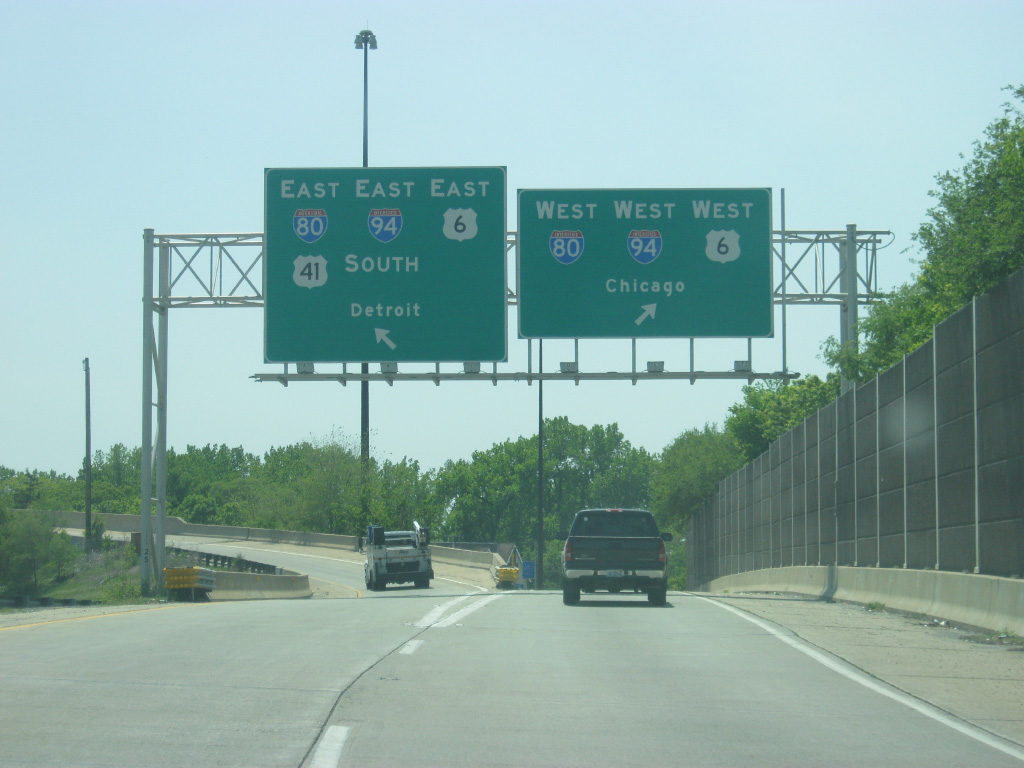
Traffic is now directed onto either the westbound or eastbound Borman Expressway (I-80-94/U.S. 6). Interstate 94 continues northeast to Detroit, Michigan while Interstate 80 heads east toward South Bend and Toledo, Ohio. The Borman Expressway is among the busiest stretches of highway in Indiana and was rebuilt in the 2000s from the Illinois state line to Interstate 65 to better handle the large amounts of freight traffic that utilize the stretch of freeway.
Travelers bound for Chicago can use Interstate 94 and take it all the way to the Chicago Loop. Interstate 80 continues west otherwise across Chicago's southern suburbs toward the Quad City area. U.S. 41 traffic follows the expressway to the east to Exit 2A with Indianapolis Boulevard, where it will continue its trip south through Highland.
05/13/12
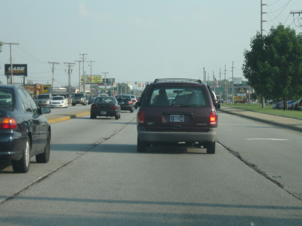
We pick up U.S. 41 (Indianapolis Boulevard) in the community of Highland (population 23,727) to the south of Ridge Road (U.S. 6 Business). South of Ridge Road, U.S. 41 (Indianapolis Boulevard) will take on a commercial aspect as it becomes one of the busiest and most frequented corridors in Northwest Indiana, serving the individual communities it travels through.
05/23/10
In Highland, U.S. 41 (Indianapolis Boulevard) crosses over a set or railroad tracks, the first of two overpasses that help the highway avoid the at-grade crossings that are common on many Northwest Indiana railroad crossings. Since the Greater Chicago region is a hub for railroad traffic across the country, there are plenty of railroads that travel through Northwest Indiana.
05/23/10
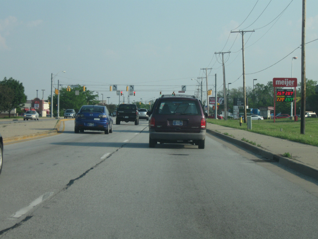
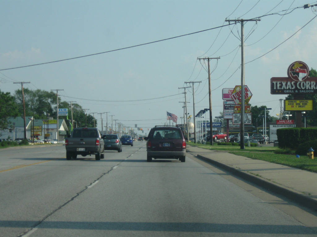
U.S. 41 (Indianapolis Boulevard) passes by several big-box stores along its stretch through Highland and adjacent Schererville. Beyond Ramblewood Drive, the highway crosses Main Street (the Main Street for the town of Munster) and enters the town of Schererville (population 29,243). Nicknamed the "Crossroads of the Nation," Schererville is where U.S. 41 will meet U.S. 30.
05/23/10
U.S. 41 (Indianapolis Boulevard) rises over the junction of two railroads going in opposite directions and descends the overpass to find more of the same, commercial businesses abutting the highway as it gets closer to the intersection with U.S. 30 (Lincoln Highway).
05/23/10
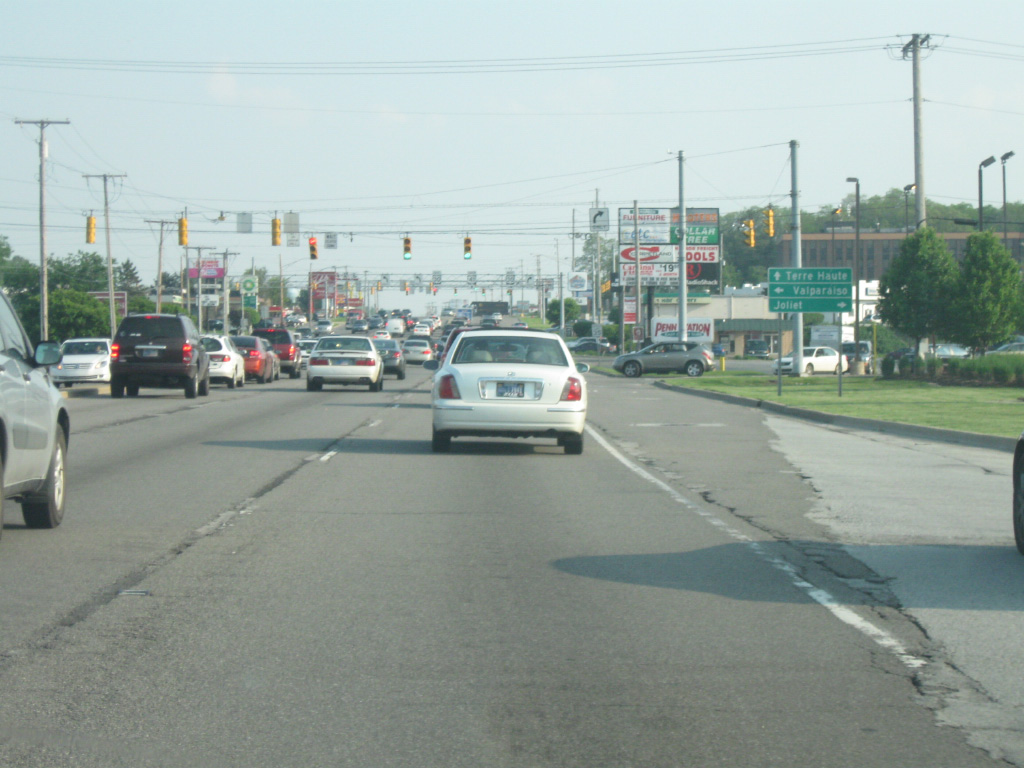
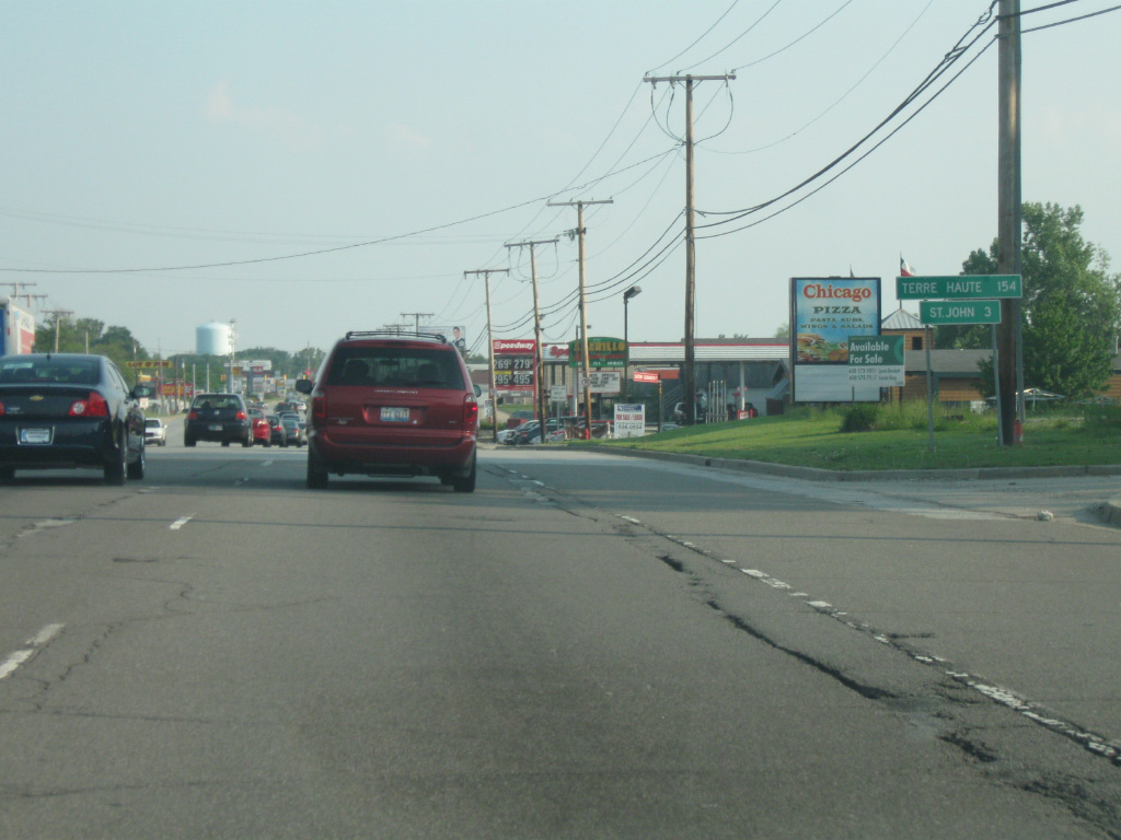
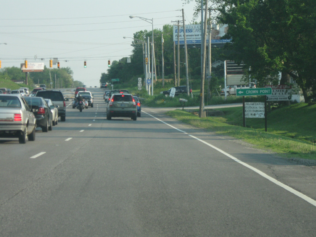
U.S. 41 (Indianapolis Boulevard) approaches the very busy intersection with U.S. 30 (Lincoln Highway). U.S. 30 travels nationally for 3,073 miles from Astoria, Oregon to Atlantic City, New Jersey. The Porter County seat of Valparaiso is 21 miles to the east and the Illinois city of Joliet is 35 miles to the west.
05/23/10

U.S. 30 (Lincoln Highway) goes for nearly 159 miles in Indiana from Dyer, on the Illinois state line, to the Ohio state line east of New Haven. The U.S. highway is a four lane facility for its trip across the state, passing through Merrillville, Valparaiso, Plymouth, Warsaw, Columbia City and Fort Wayne. Across Northwest Indiana, U.S. 30 is a well-traveled highway and their meeting here in Schererville is the source of heavy traffic at rush hour.
05/23/10
South of the intersection with U.S. 41 (Indianapolis Boulevard) and U.S. 30 (Lincoln Highway), the town of St. John is three miles away. The Vigo County seat of Terre Haute becomes the control city along U.S. 41 and is 154 miles away from Schererville, a three and a half hour drive.
05/23/10
South of U.S. 30 (Lincoln Highway), U.S. 41 (now called Wicker Avenue) passes through more retail shopping as it rises up the Glenwood Shoreline (an ancient shoreline to Lake Michigan) and enters the Valparaiso Moraine. As this is done, the highway enters the town of St. John (population 14,850).
05/23/10
U.S. 41 (Wicker Avenue) intersects with 93rd Street in the center of the town of St. John. Unlike some of the more traditional communities in Lake County, such as Hammond or Gary, St. John grew up quickly with development starting in the 1960s and has exploded with growth since. What would be considered the "center" of St. John is around this intersection.
05/23/10
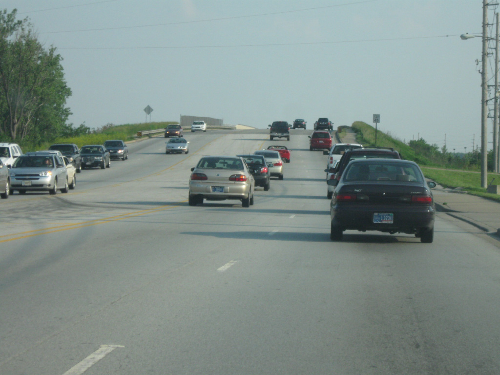
More development abuts U.S. 41 (Wicker Avenue) as the highway enters the St. John area. The newest shopping centers in this part of Lake County will likely be found in this area. For those who will be making the trip to Terre Haute, this area represents some of the last collection of motorists services along U.S. 41, the highway across Western Indiana is rather desolate for Indiana standards.
05/23/10
U.S. 41 (Wicker Avenue) nears the intersection with U.S. 231 south (109th Avenue). U.S. 231 begins its 912 mile journey south to Panama City, Florida at this intersection. U.S. 231 south (109th Avenue) heads east for a 5.6 mile trip to the Lake County seat of Crown Point. The road continues for 286 miles across Indiana past the communities of Hebron, Rensselaer, Lafayette, Crawfordsville, Greencastle, Spencer, Loogootee, Jasper and Dale before crossing the Ohio River at the William Natcher Bridge near Owensboro, Kentucky. The second picture shows the "End U.S. 231" sign at the intersection of U.S. 41 and U.S. 231.
05/23/10
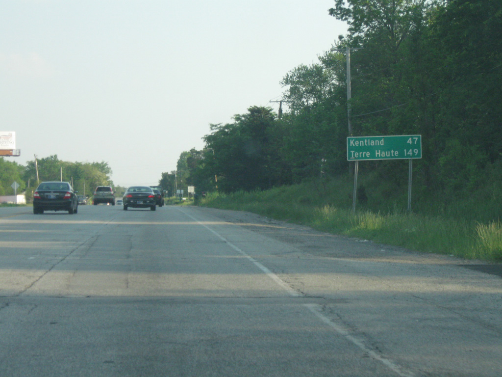
South of the intersection with U.S. 41 (Wicker Avenue) and U.S. 231 is a distance sign for Kentland (47 miles) and Terre Haute (149 miles).
05/23/10
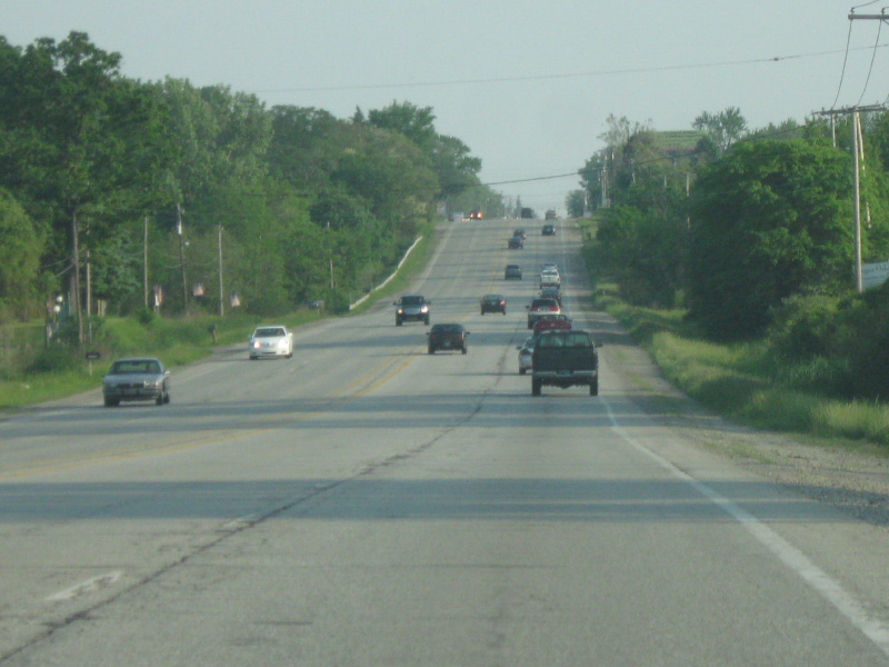
South of the U.S. 231 intersection, U.S. 41 (Wicker Avenue) goes through one more semi-rural stretch in between the towns of St. John and Cedar Lake. Eventually, urban sprawl will probably develop this region.
05/23/10
U.S. 41 (Wicker Avenue) enters the final suburban community of Northwest Indiana, Cedar Lake (population 11,560). Some commercial businesses abut the highway as its closer to the intersection with 133rd Avenue.
05/23/10
U.S. 41 (Wicker Avenue) has one stoplight that serves the town of Cedar Lake at 133rd Avenue. The majority of the town of Cedar Lake lies to the east of U.S. 41 (Wicker Avenue) along 133rd Street, which leads to Cedar Lake, the lake that the town surrounds.
05/23/10
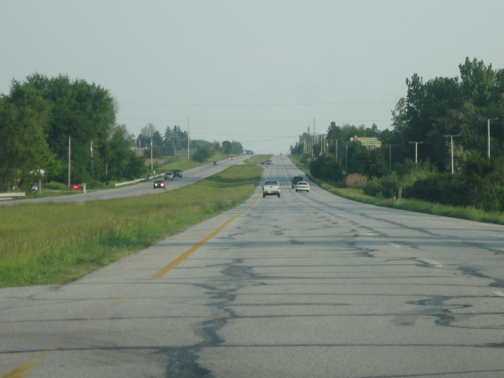
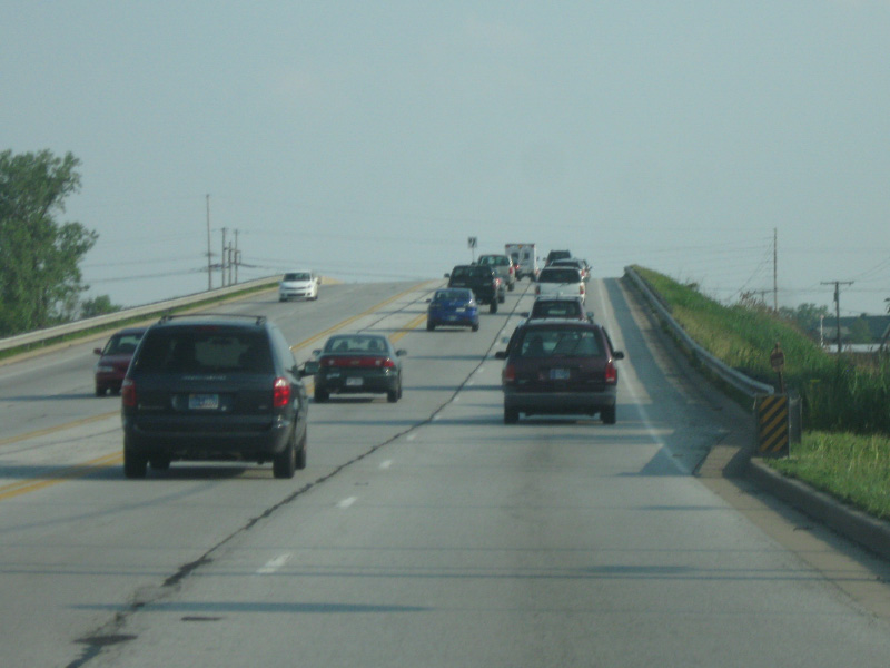
South of the town of Cedar Lake, U.S. 41 becomes a divided four lane highway and quickly leaves the suburban part of Northwest Indiana en route to the rural stretches of Lake County. It is around this region that the future Illiana Expressway toll road will be crossing U.S. 41, with an interchange proposed to their crossing. The 50 mile toll road will connect Interstates 55 & 57 in Illinois with U.S. 41 and Interstate 65 in Indiana, offering an alternative for long-haul traffic to the congested U.S. 30 and Interstate 80-94 corridors further north. No timetable has been set on when construction would begin.
05/23/10
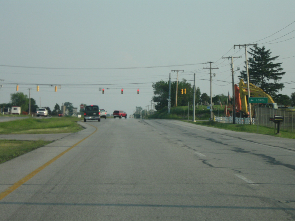
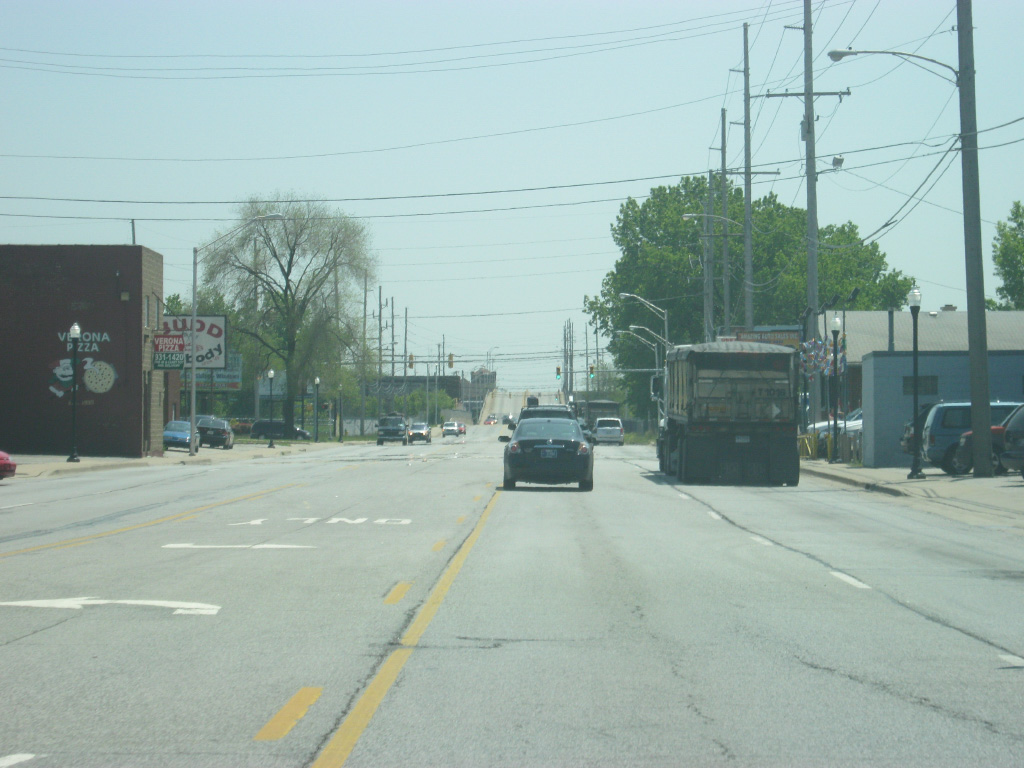
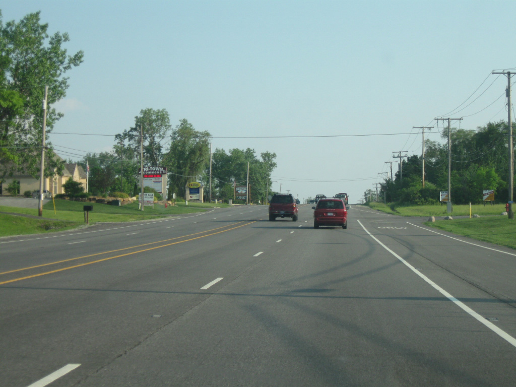
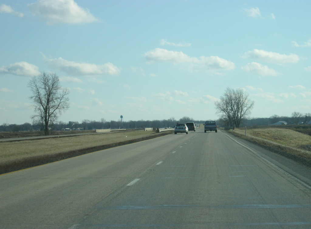
SR 2 comes in from the east to join U.S. 41 for a 2 1/2 mile multiplex. SR 2 goes for 81 miles in a southwest to northeast direction from the Illinois state line and through the communities of Lowell, Hebron, Valparaiso and LaPorte before ending on the west side of South Bend at U.S. 20/31.
05/23/10
SR 2 turns off toward the east for its one mile trip into the town of Lowell. It is another 5.7 miles to the interchange with Interstate 65. 181st Avenue continues the road west from U.S. 41 and SR 2.
12/29/11

The small Lake County community of Schneider seven miles away. Terre Haute is 140 miles away.
12/29/11
SR 2 turns west off of U.S. 41 two and a half miles south of the intersection with 181st Avenue. It's an eight mile drive to the town of Grant Park, Illinois via SR 2 west and Illinois 17.
12/29/11
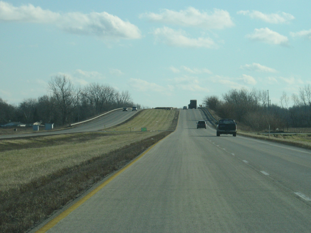
U.S. 41 crosses into the very rural parts of southern Lake County, which is a part of the Kankakee Outwash Plain. On the south end of the Valparaiso Moraine, the highway enters the drainage basin of the Mississippi River, a sign of the highway getting further away from Lake Michigan.
12/29/11
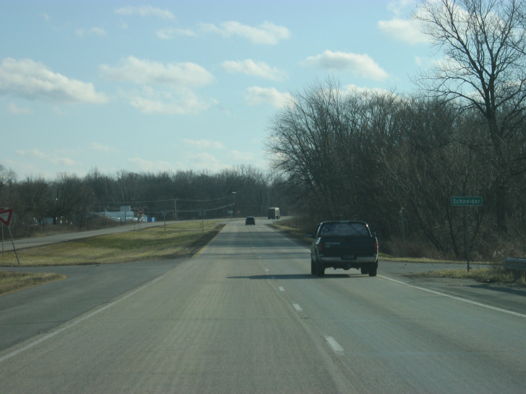
Near the southern border of Lake County, U.S. 41 passes by the small town of Schneider.
12/29/11
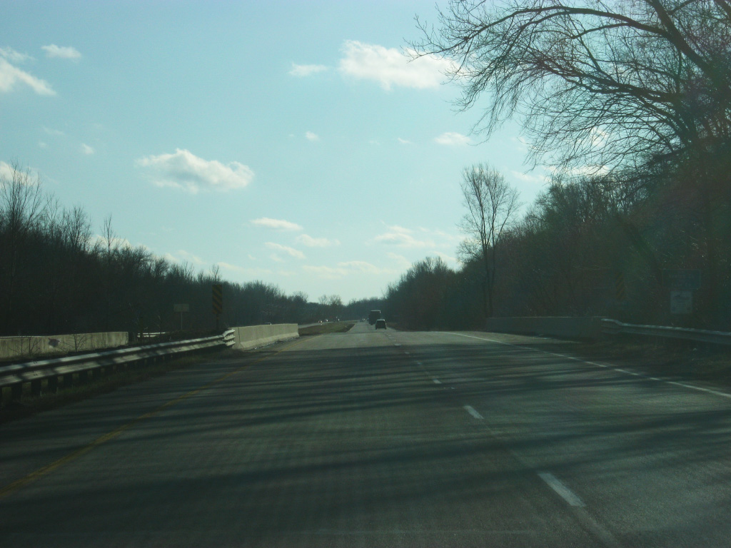
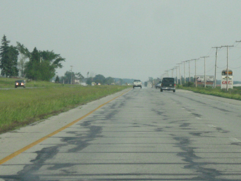
U.S. 41 crosses the Kankakee River and begins its long transit across Newton County (population 14,244), among Indiana's longest from north to south. It's about 30 miles from the south end of the county to the north end at the Kankakee River. In stark contrast with Lake County, Newton County is very rural. Still, Newton County is considered a part of the Chicago metropolitan area.
12/29/11
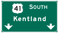
Photo Credits:
- Thomas Decker: 05/23/10, 12/29/11, 05/13/12
Connect with:
Page Updated Sunday April 28, 2013.