
U.S. 50 West - Lawrence County
 west
west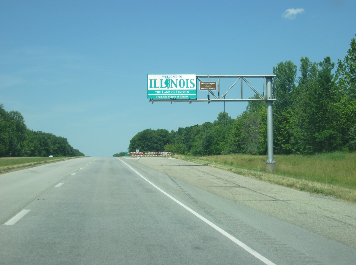
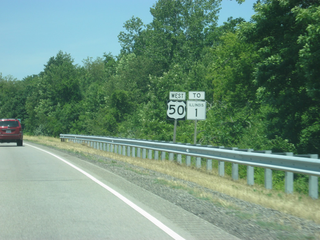
U.S. 50 enters the state of Illinois and Lawrence County. The stretch of U.S. 50 from Wabash River west to Salem, Illinois is called the George Rogers Clark Memorial Highway. An old rest area that closed many years ago, exists to the north.
06/06/12
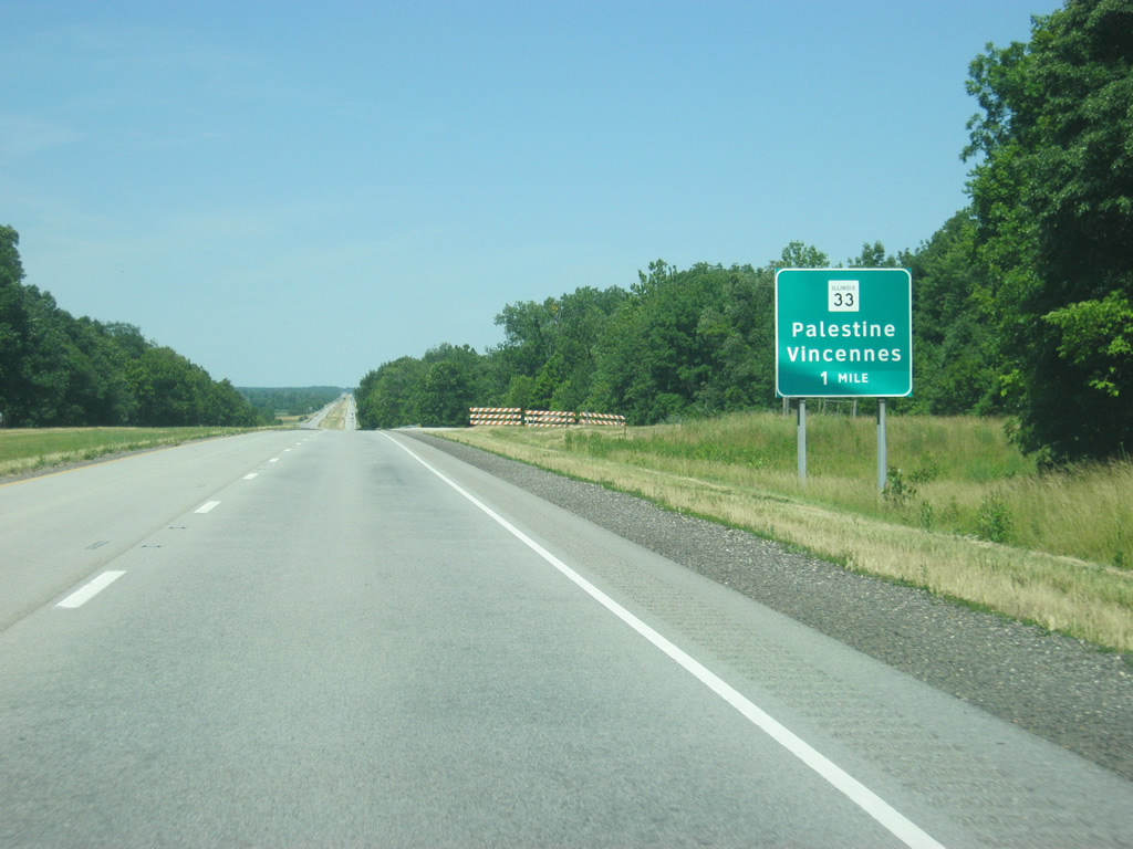
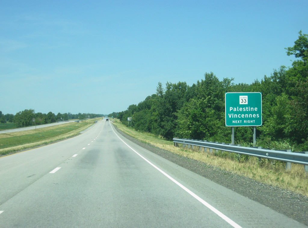
The first exit along U.S. 50 in Illinois is with IL 33, a 97 mile highway that begins at U.S. 50 and heads north toward Palestine, Robinson and Effingham, ending in Beecher City at IL 128.
06/06/12
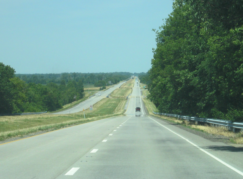
A view of the U.S. 50 freeway as it lowers from the Robeson Hills toward the Lawrenceville area. The freeway was built in the 1960s as a part of a plan to build an interstate across Illinois from Vincennes to St. Louis, with only the segment to Lawrenceville built.
06/06/12
IL 33 loops south from U.S. 50 to the Wabash River at Westport, where the highway turns northward to follow the river toward the town of Palestine.
06/06/12
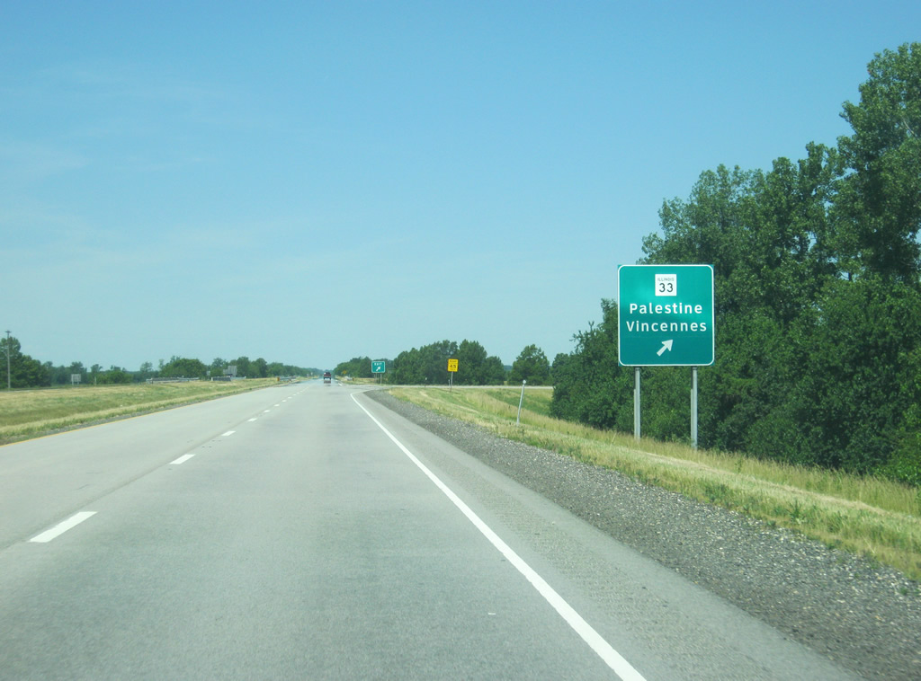
IL 33 provides a link to the road that heads across the Lincoln Memorial Bridge to Downtown Vincennes, which is 2.3 miles to the southeast at Westport.
06/06/12
The first U.S. 50 shield in the Land of Lincoln follows the diamond interchange with IL 33.
06/06/12
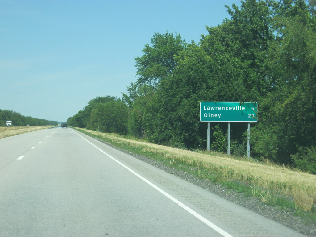
The Lawrence County seat of Lawrenceville is six miles to the west while the Richland County seat of Olney is 29 miles away.
06/06/12
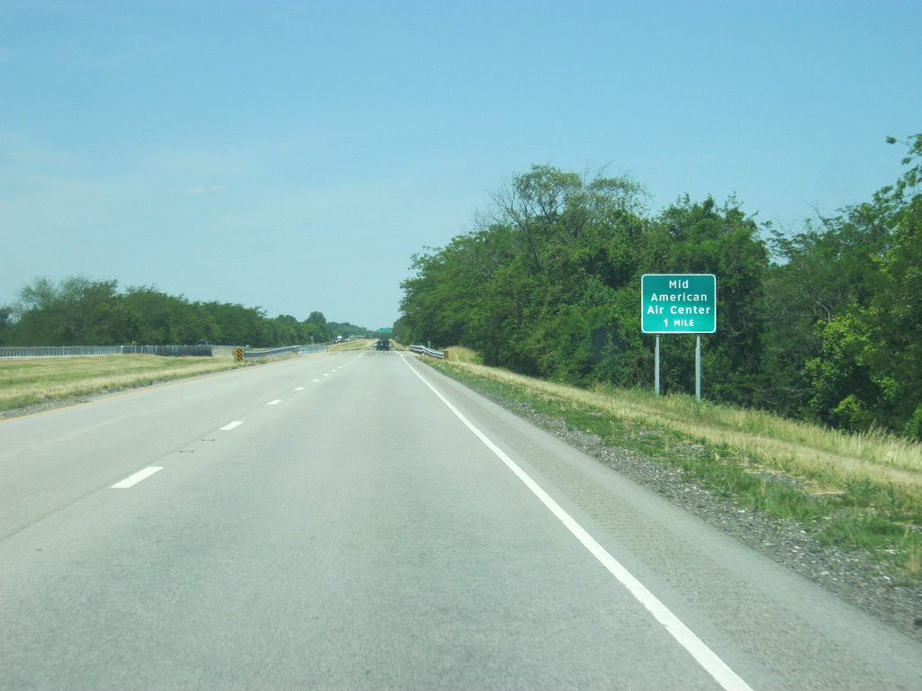
One mile out from the Mid-American Air Center interchange with Lawrence County 21, serving the Lawrenceville-Vincennes International Airport (KWV) to the north.
06/06/12
County Road 21 (County Road 1500 East) links the U.S. 50 freeway with the Mid-American Air Center to the northeast and parallel County Road 990 North (old U.S. 50) to the south.
06/06/12
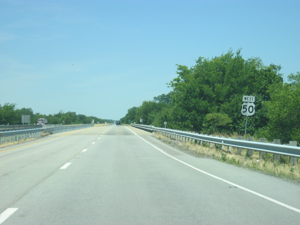
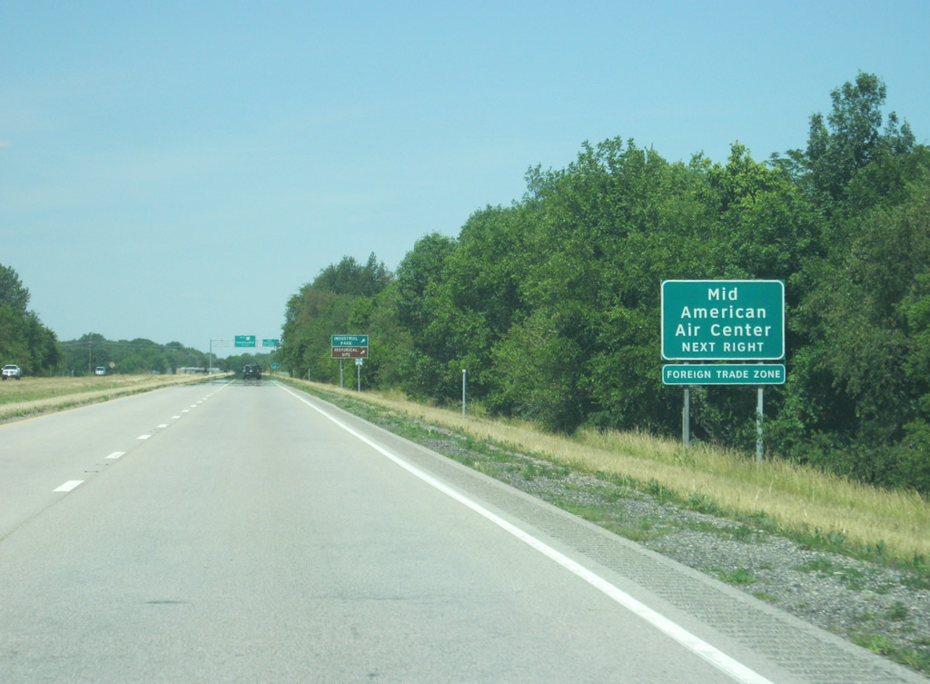
Westbound U.S. 50 reaches the diamond interchange with County Road 1500 East (CR-21), serving the Mid-American Air Center. The older route of U.S. 50 forms an additional road from Lawrenceville east to IL 33 northwest of Vincennes.
A wye interchange for Business U.S. 50 to Lawrenceville approaches in three quarters of a mile.
06/06/12
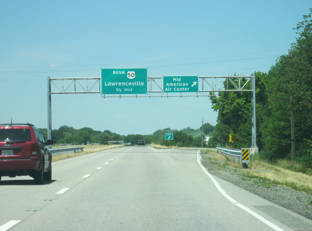
Leaving the Mid-American Air Center interchange, the left side ramp for Business U.S. 50 appears quickly.
06/06/12
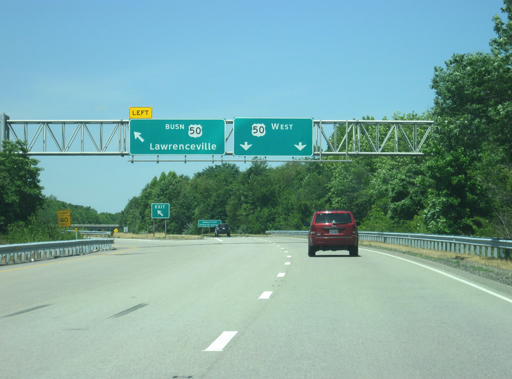
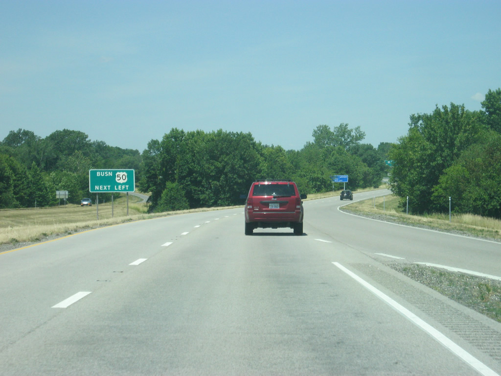
Business U.S. 50 depart from the left off of U.S. 50 on the east side of Lawrenceville. The business route arcs west into the heart of Lawrenceville, meeting back up with U.S. 50 west of town. This is the only marked business route for U.S. 50 in Illinois.
06/06/12
A U.S. 50 shield guides traffic toward IL 1, which is the next westbound junction.
06/06/12
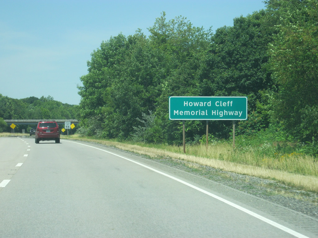
The Lawrenceville U.S. 50 bypass is called the Howard Cleff Memorial Highway.
06/06/12
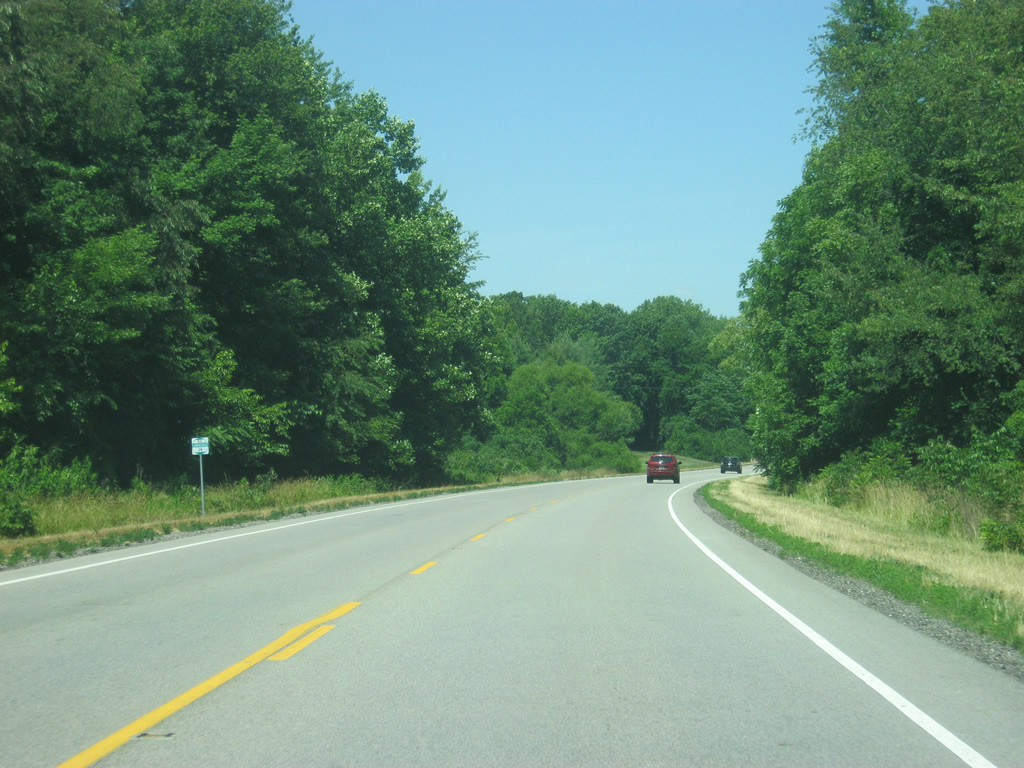
U.S. 50 retracts to a two lane highway and will remain this way for most of its transit across of Illinois, with few exceptions at some communities. Preliminarily plans may expand U.S. 50 to four lanes from Lawrenceville west to Olney.
06/06/12
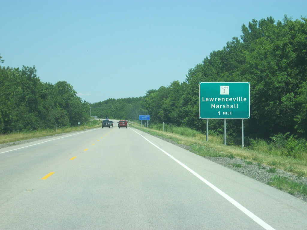
Now a mile away from the interchange with IL 1, the longest state highway in Illinois. IL 1 travels for 325 miles from the south side of Chicago through Danville, Paris, Marshall, Lawrenceville, Mt. Carmel and Carmi, finally ending at the Ohio River car ferry in Cave-in-Rock.
06/06/12

North from U.S. 50, the Clark County seat of Marshall is 46 miles to away. The Crawford County seat of Robinson lies about halfway between there, a few miles west of IL 1 on IL 33.
06/06/12
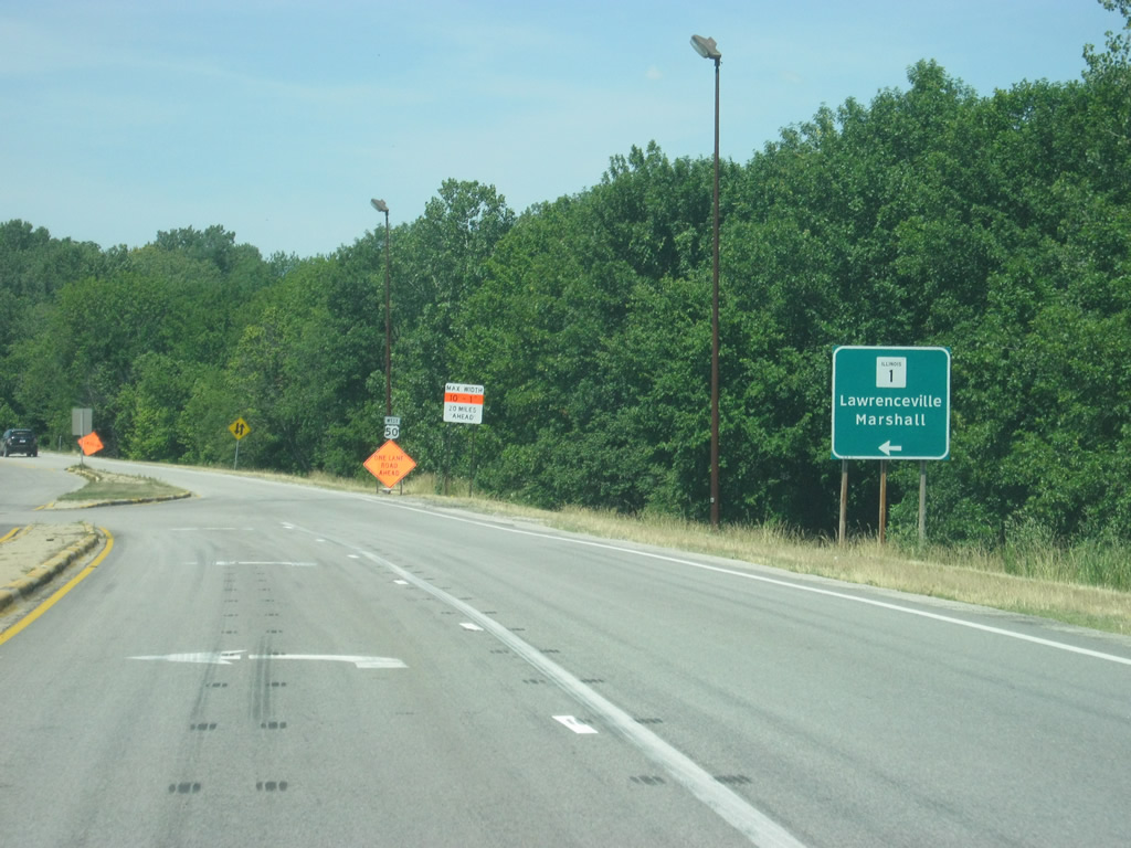
A one-quarter cloverleaf interchange connects U.S. 50 with IL 1 via a left hand turn from westbound. Downtown Lawrenceville lies less than a mile to the south along IL 1, which continues from there toward Mt. Carmel.
06/06/12
Photo Credits:
- Thomas Decker: 06/06/12
Connect with:
Page Updated Thursday November 29, 2012.