
U.S. 51 South

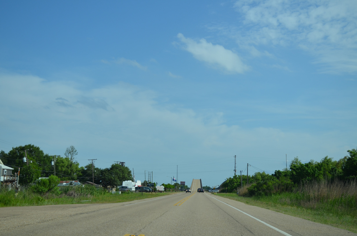
Approaching the high rise bridge across Pass Manchac on Old U.S. 51 south at the settlement of Manchac.
05/09/15
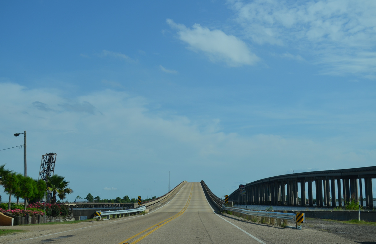
Interstate 55/U.S. 51 and Old U.S. 51 (Frontage Road) span Pass Manchac at the eastern fringes of Lake Maurepas.
05/09/15
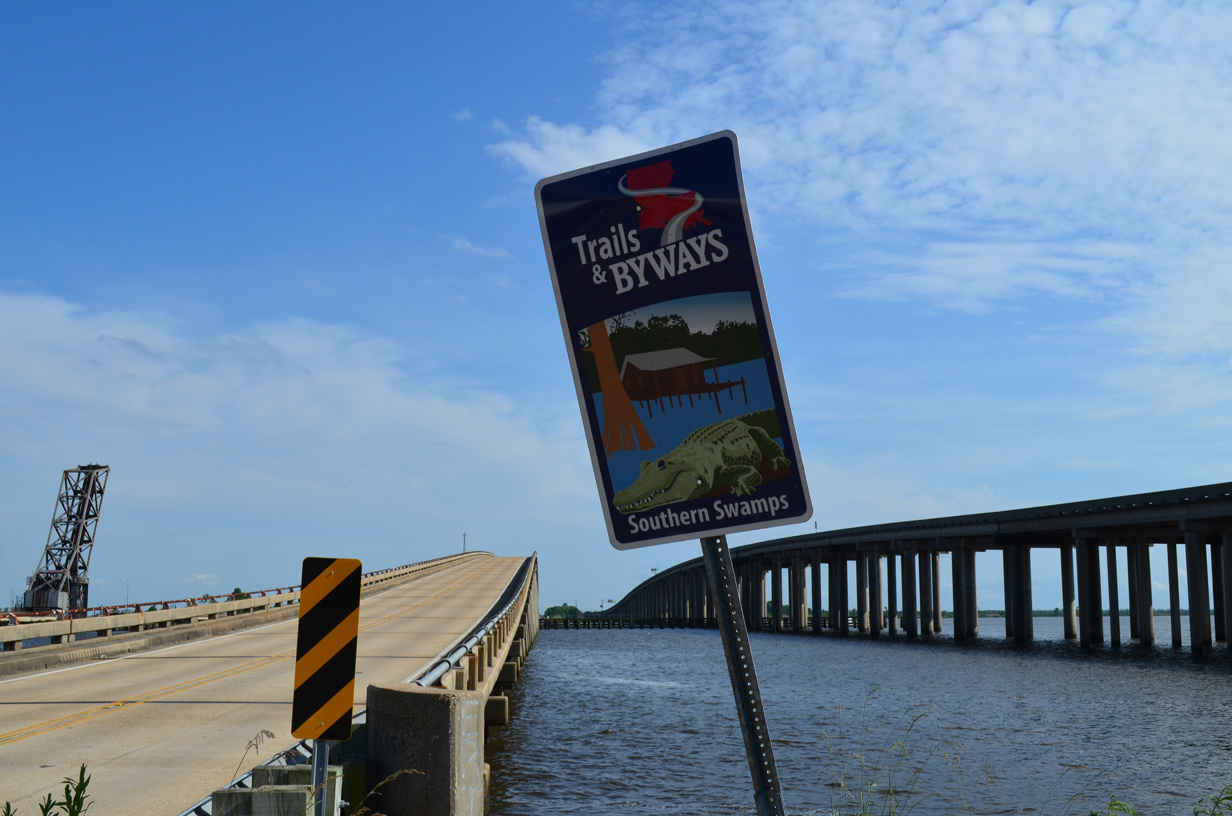
A trailblazer for the Southern Swamps Byway stands at the Pass Manchac bridge along Old U.S. 51 south. The 67 mile auto tour follows LA 22 northeast from LA 70 near Sorrento to U.S. 51 Business in Ponchatoula. U.S. 51 Business and Old U.S. 51 extend the byway south to U.S. 51 and I-10 at LaPlace.
05/09/15
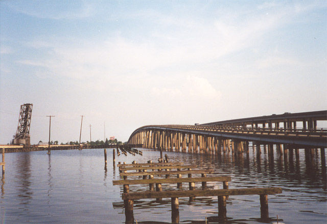
The area of Manchac includes fish camps, a seafood restaurant and several docks. East of the Old U.S. 51 high rise bridge are remnant wooden supports leftover from an abandoned railroad crossing. A Canadian National Railroad lift bridge spans Pass Manchac further east.
06/26/01
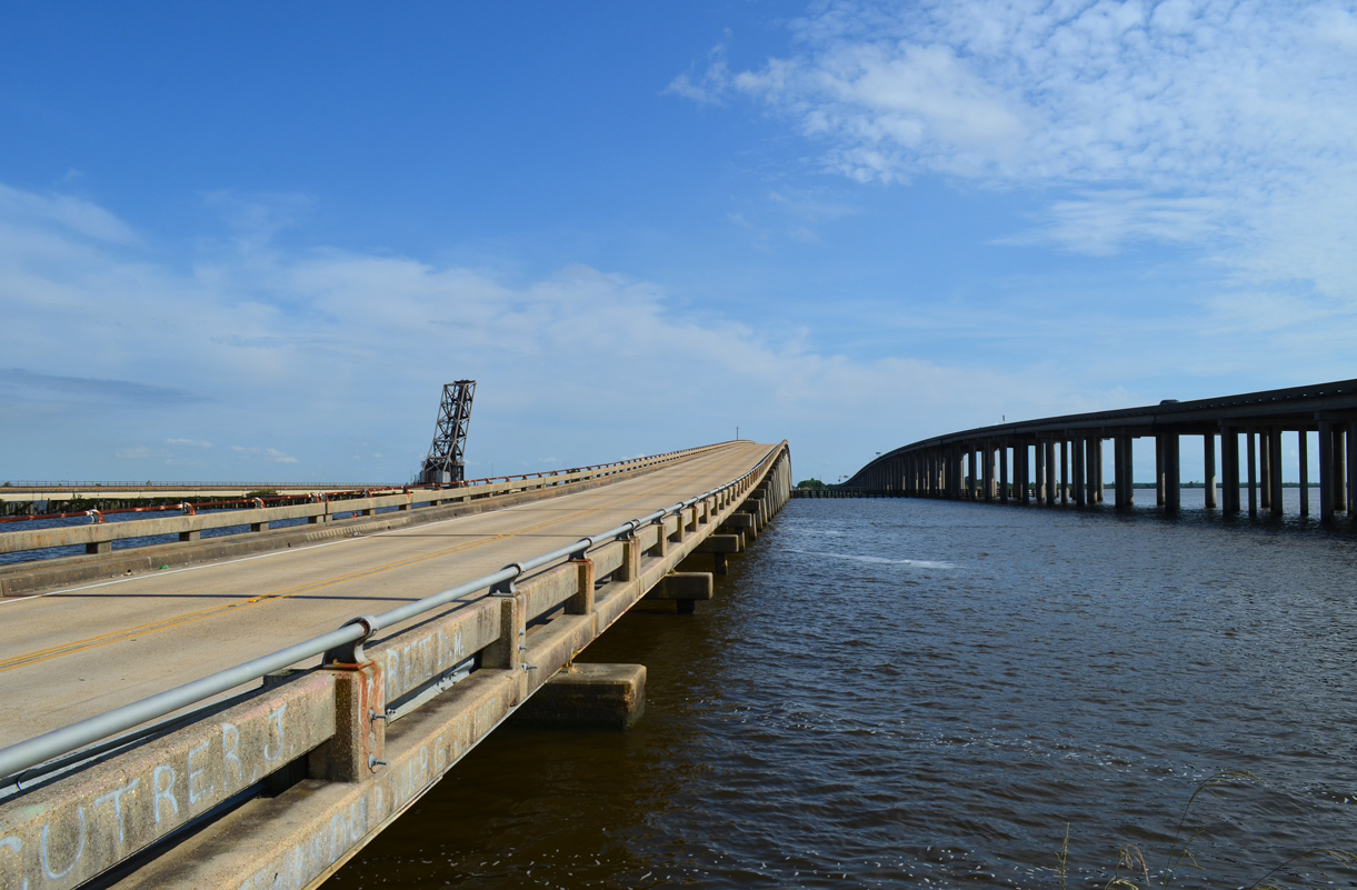
The Pass Manchac bridge was built in 1957 to replace a low rise bridge for U.S. 51.
05/09/15

Old U.S. 51 lowers toward Galva and the abandoned settlement of Rudduck.
05/09/15
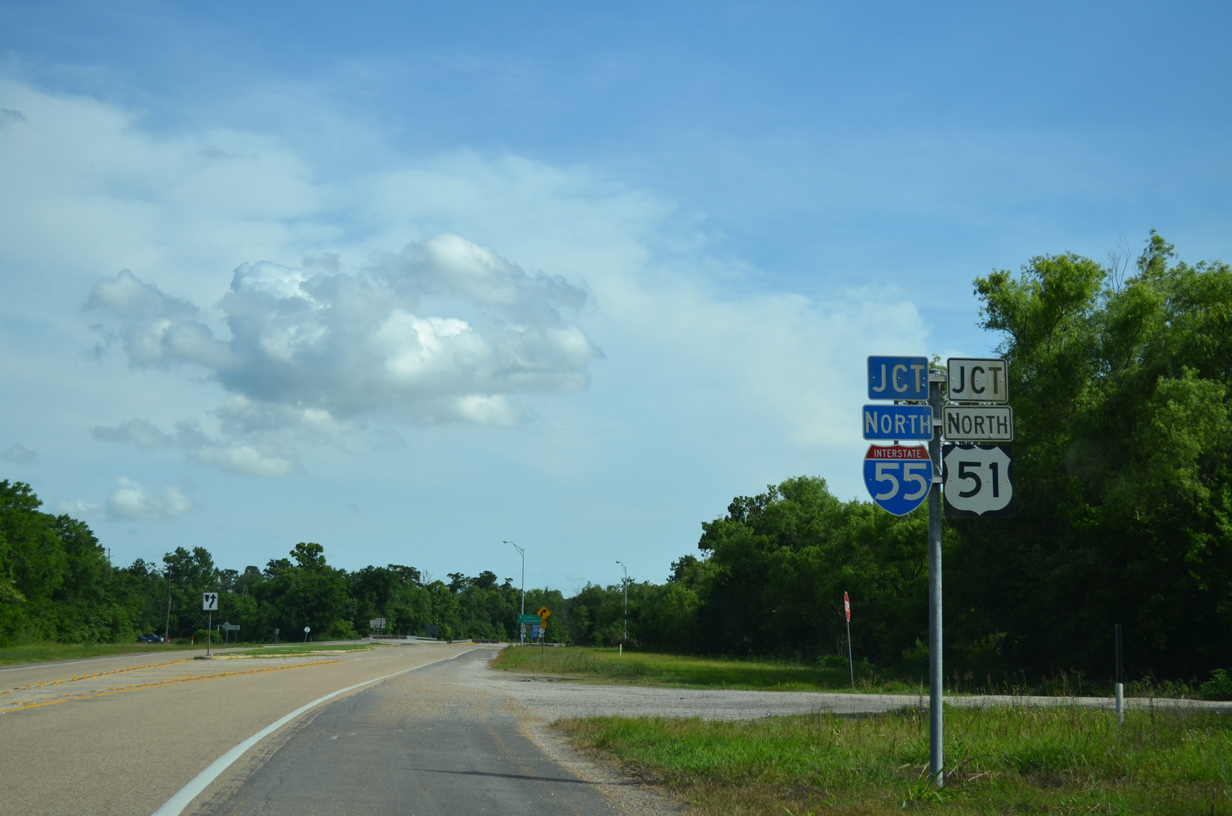
Old U.S. 51 runs along the east side of Interstate 55/U.S. 51 south eight miles from Rudduck to the half diamond interchange where the two routes split.
05/09/15
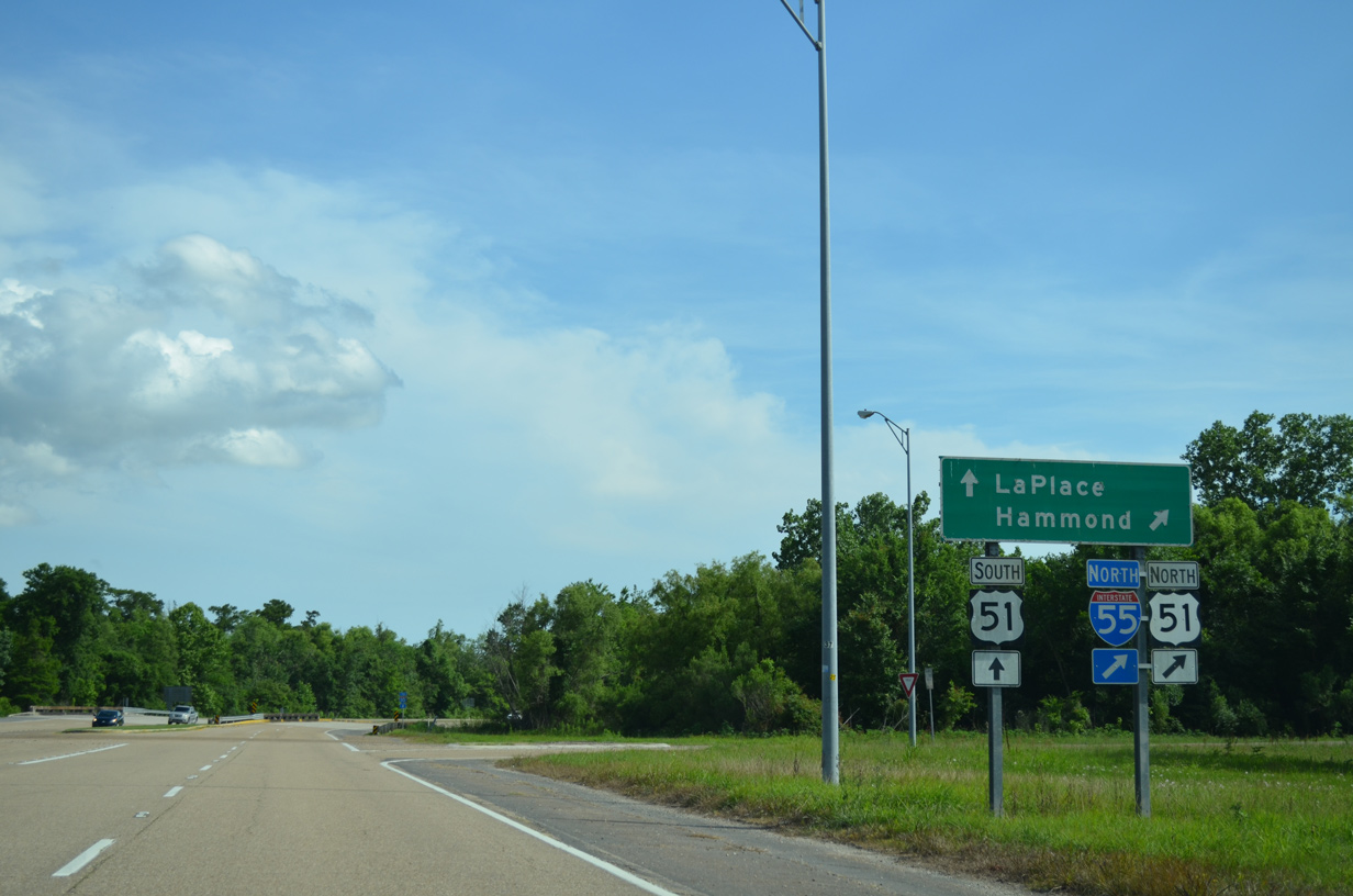
I-55/U.S. 51 lead back north to Manchac and Hammond while U.S. 51 departs from the ending freeway to rejoin its surface alignment into LaPlace.
05/09/15
 South
South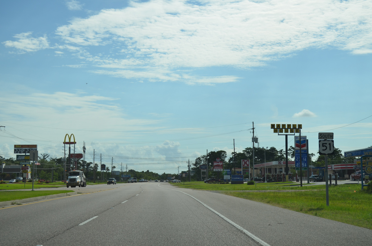
The final confirming marker for U.S. 51 south stands just beyond the diamond interchange with Interstate 10 at LaPlace.
05/09/15
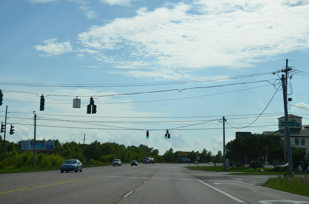
Woodland Road spurs west from U.S. 51 through a business park to parallel I-10 west to several subdivisions.
05/09/15
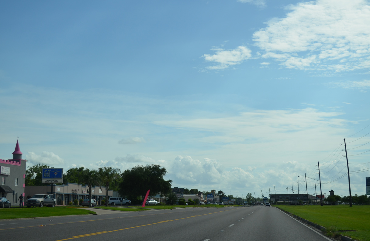
U.S. 51 advances south into LaPlace as a five lane commercial boulevard. Main Street parallels to the east as the former alignment.
05/09/15
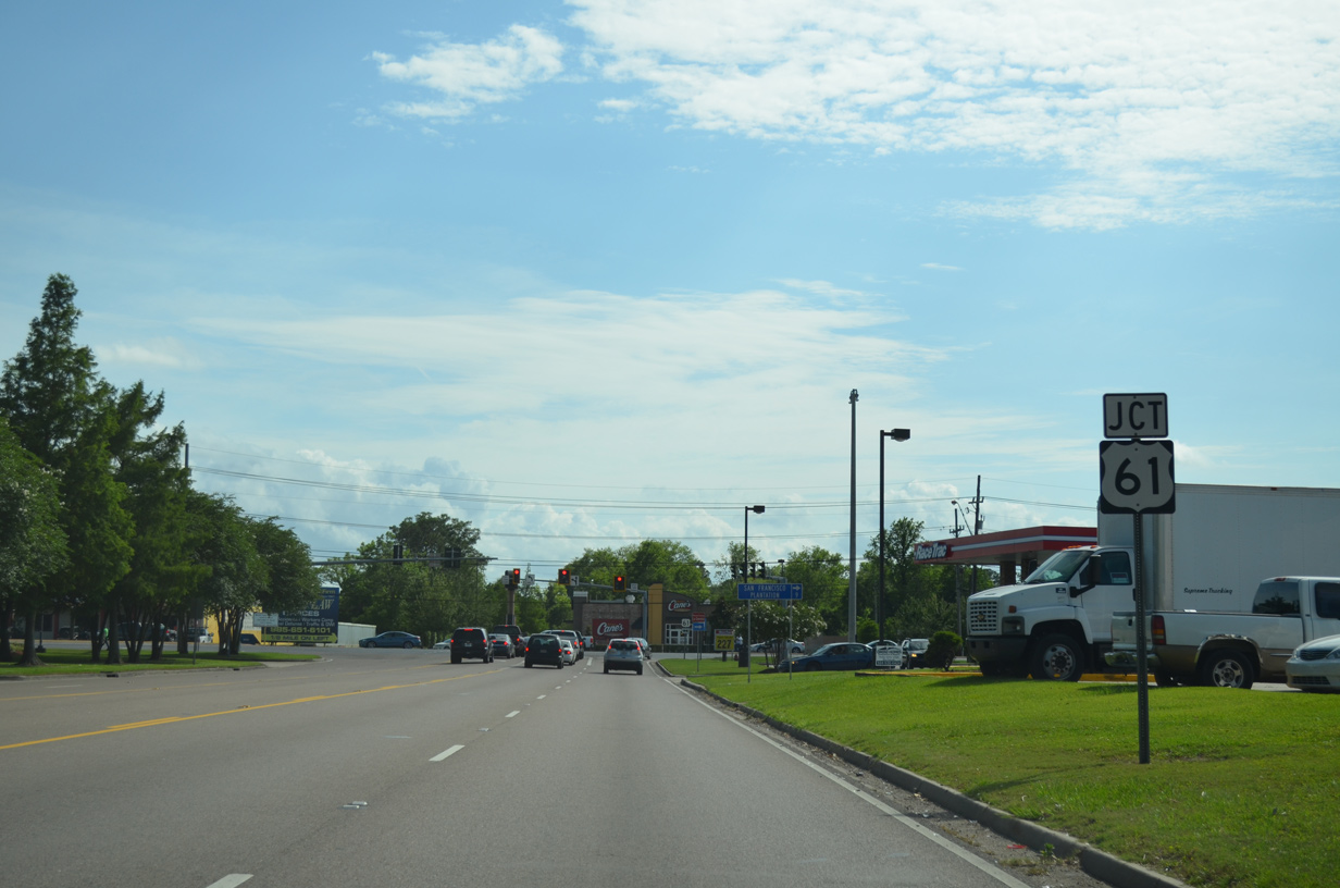
Nearing U.S. 61 and the southern terminus of U.S. 51 in LaPlace. U.S. 61 represents the main east-west commercial arterial across the bedroom community.
05/09/15
The 1,286 mile route of U.S. 51 that started in Hurley, Wisconsin concludes at U.S. 61. U.S. 61 travels in an east-west orientation from LaPlace east to Kenner and Metairie and west to Garyville and Gramercy.
05/09/15
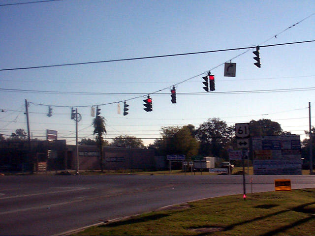
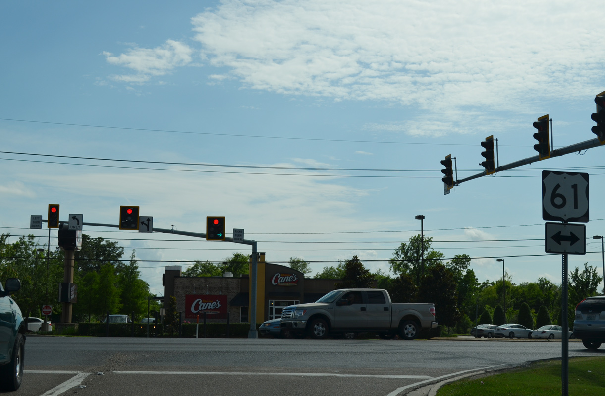
A historical look at U.S. 51 south at U.S. 61. Since this photo was taken, a fast food restaurant was constructed across from the intersection, reconfiguring the traffic signals into a split phase arrangement.
11/06/99
Photo Credits:
- Alex Nitzman: 11/06/99, 06/26/01, 05/09/15
Connect with:
Page Updated Tuesday October 04, 2016.