
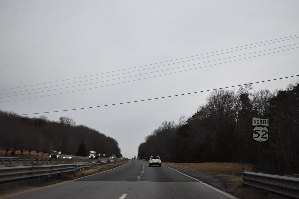
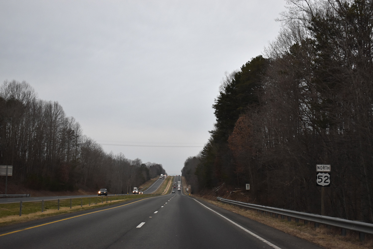
U.S. 52 North - Stokes / Surry Counties
 North
North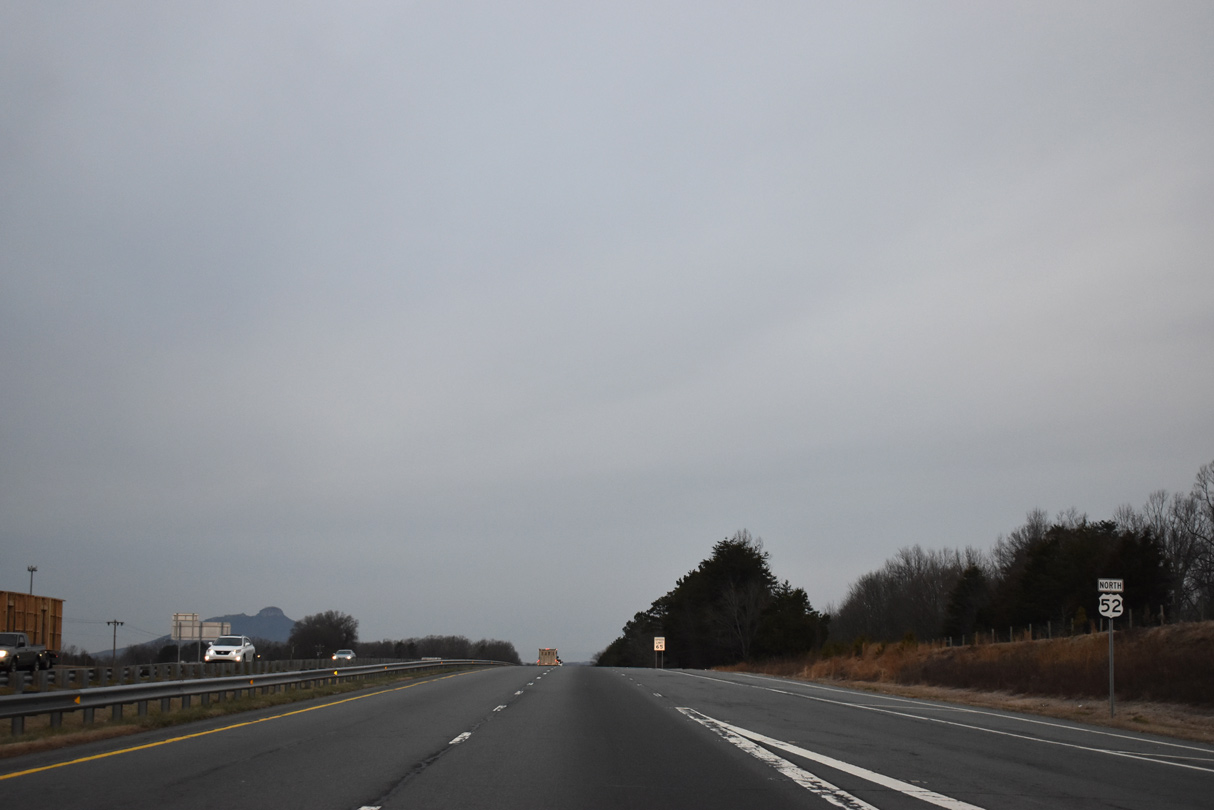
Lined with development, Ingram Drive comprises the east side frontage road for U.S. 52 northward to Meadowbrook Drive (SR 1105).
01/17/19
01/17/19
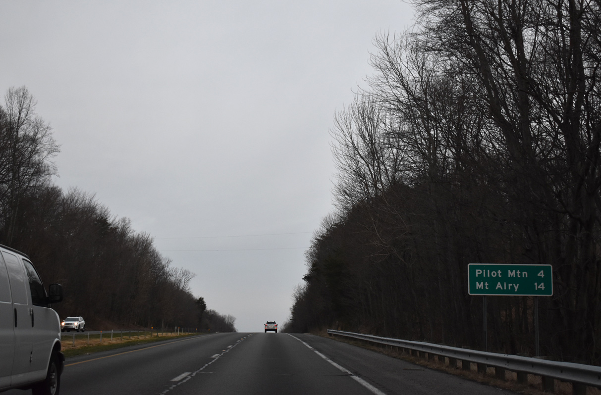
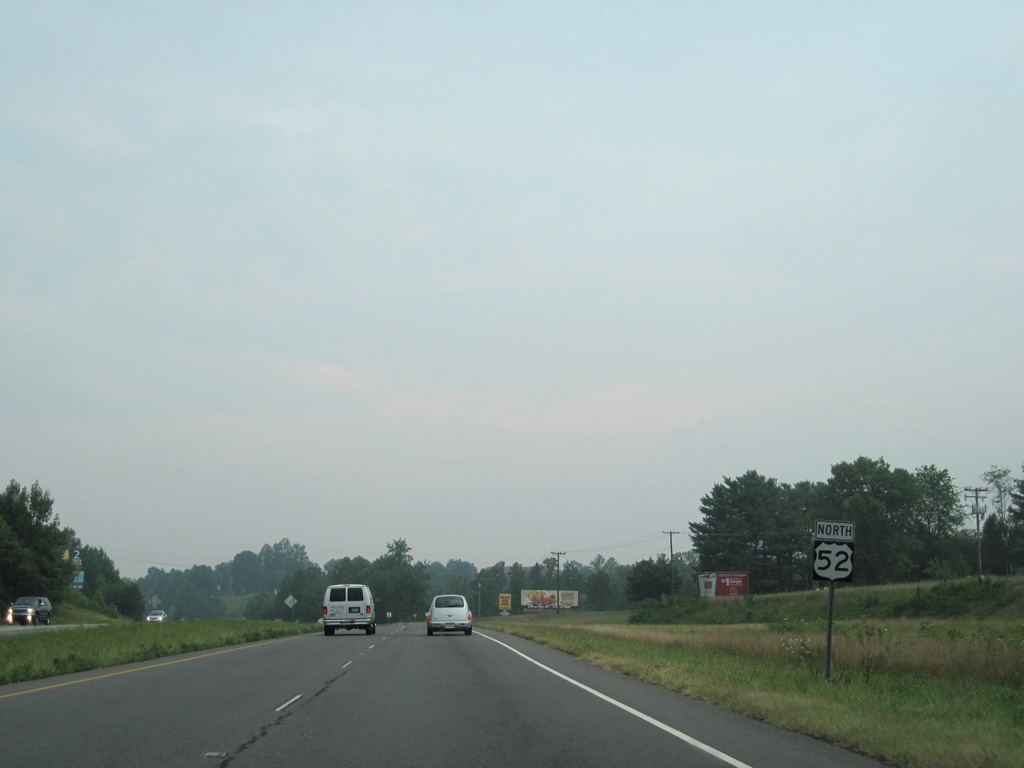
A 5.2 mile long exit less stretch precedes Pilot Mountain along U.S. 52 northbound in Stokes County.
01/17/19
01/17/19
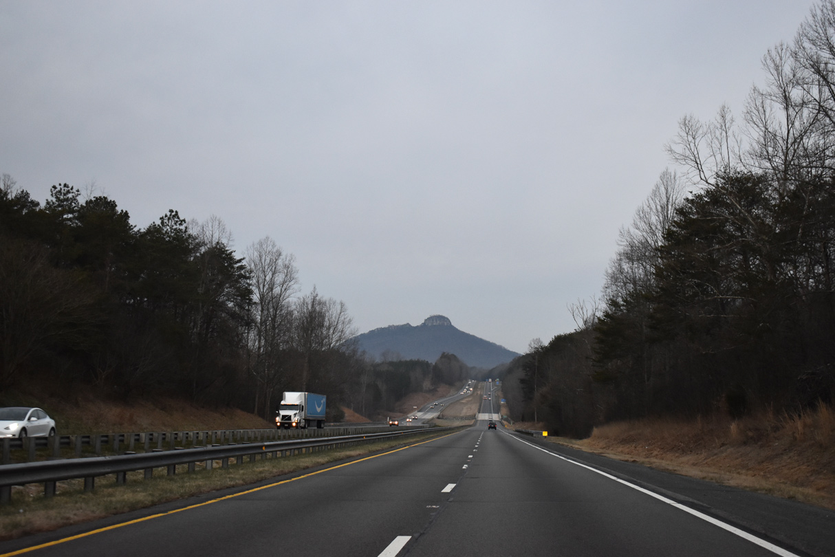
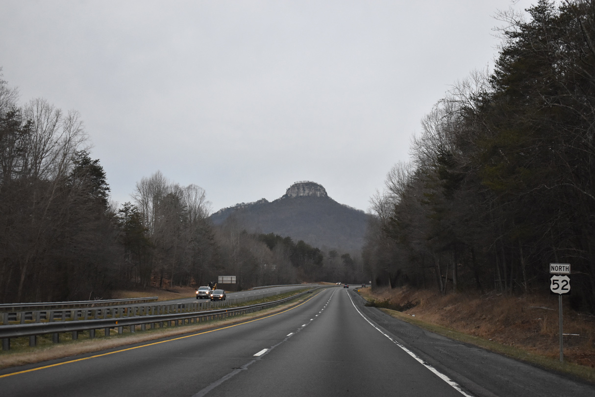
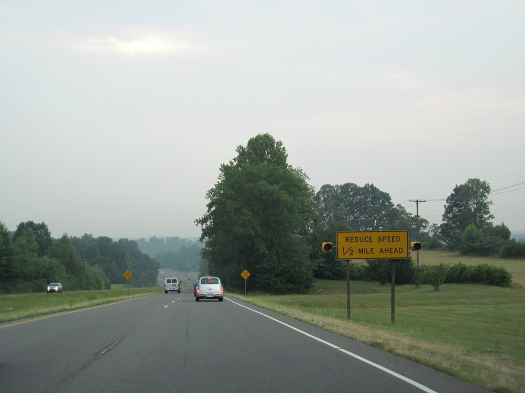
Pilot Mountain comes into view along the straight away taking U.S. 52 across the Little Yadkin River near milepost 127.
01/17/19
01/17/19
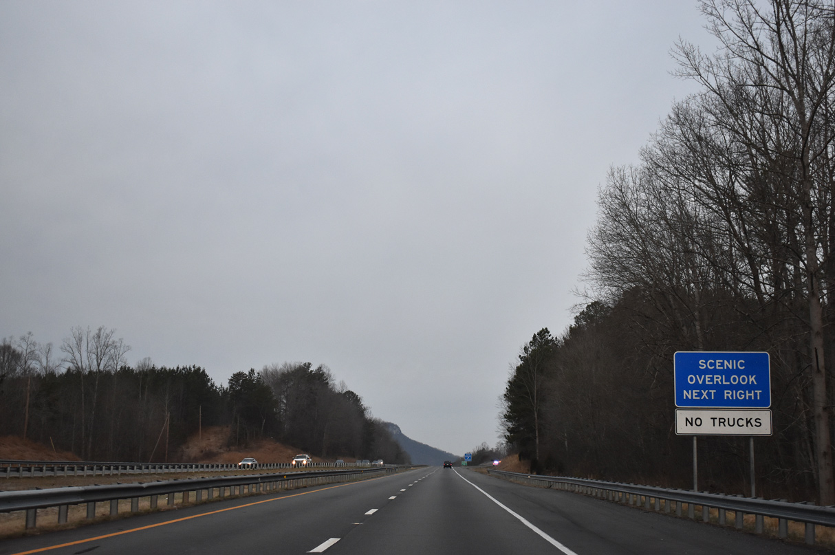
A scenic overlook for Pilot Mountain lies just north of the Little Yadkin River at the former crossing of Old Phillips Road.
01/17/19
01/17/19
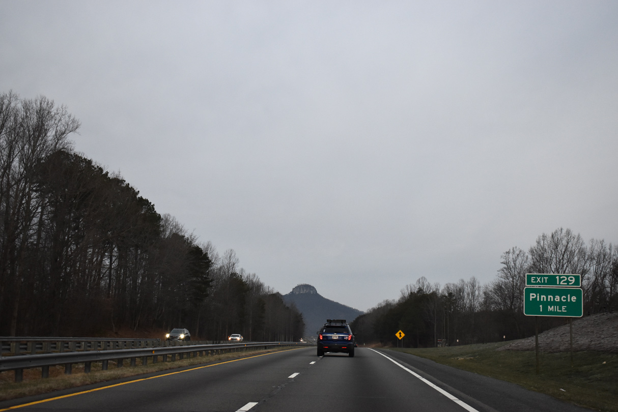
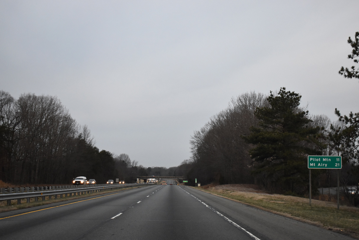
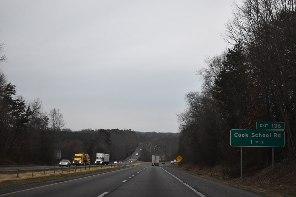
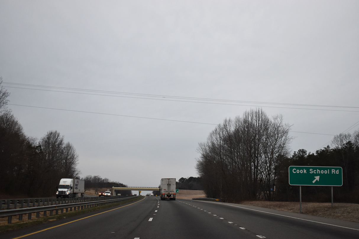
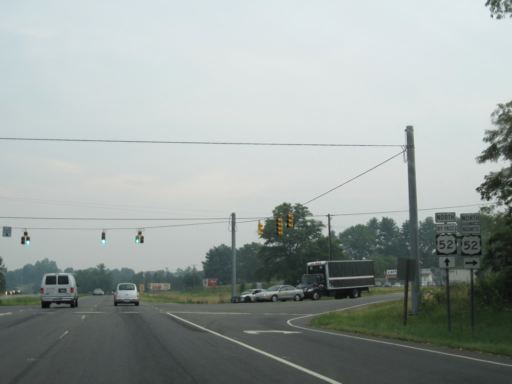
Perch Road (SR 1147) connects U.S. 52 with the community of Pinnacle along Old 52 Road (SR 1236) to the north of Exit 129.
01/17/19
01/17/19
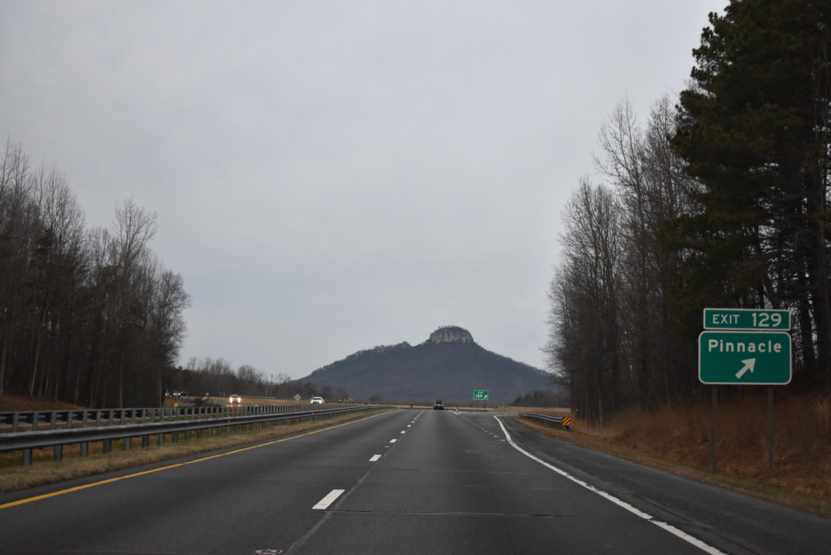
South from Exit 129, Perch Road straddles the county line to Spainhour Mill Road and Hauser Road west to Horne Creek Farm and Pilot Mountain State Park.
01/17/19
01/17/19
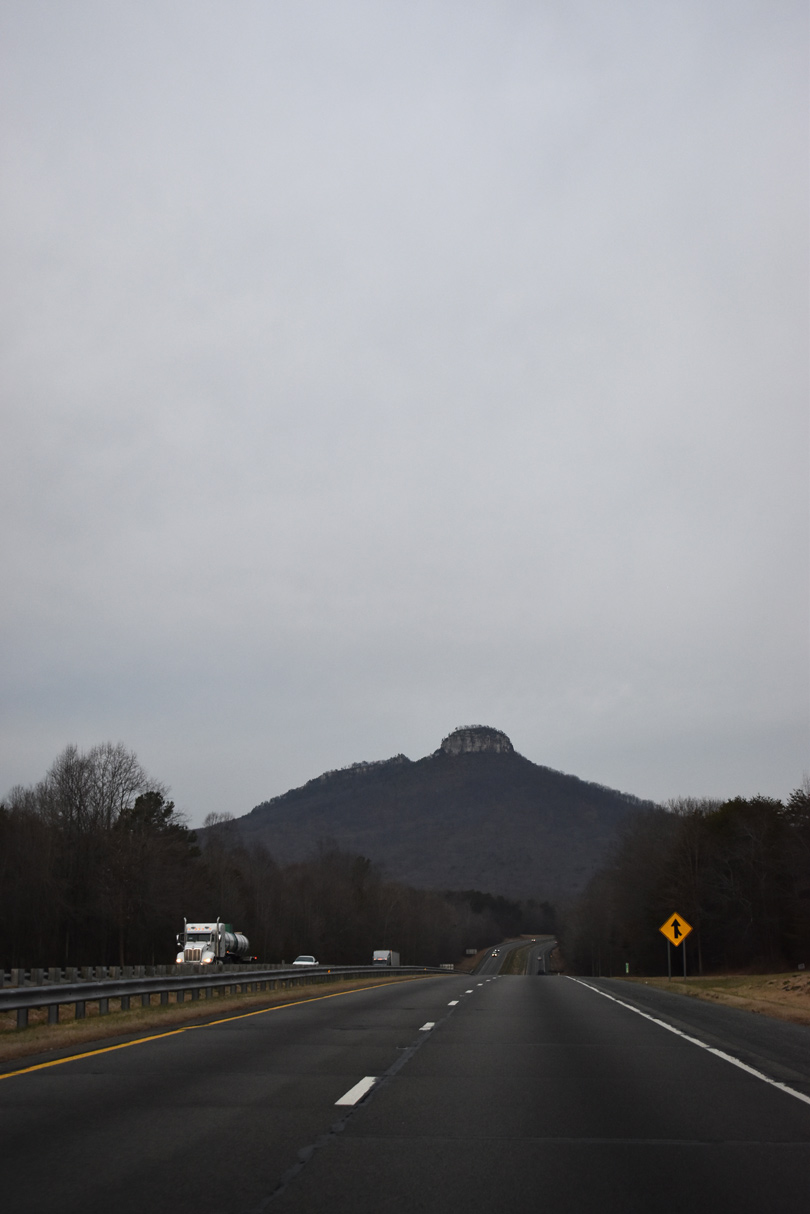
Pilot Mountain remains omnipresent along U.S. 52 northwest through Stokes County. With bare rock walls and a rounded top, the Big Pinnacle is the most recognizable feature of the 2,421 foot mountain.
01/17/19
01/17/19
U.S. 52 runs across eastern reaches of Pilot Mountain State Park along the ensuing stretch.
01/17/19
01/17/19
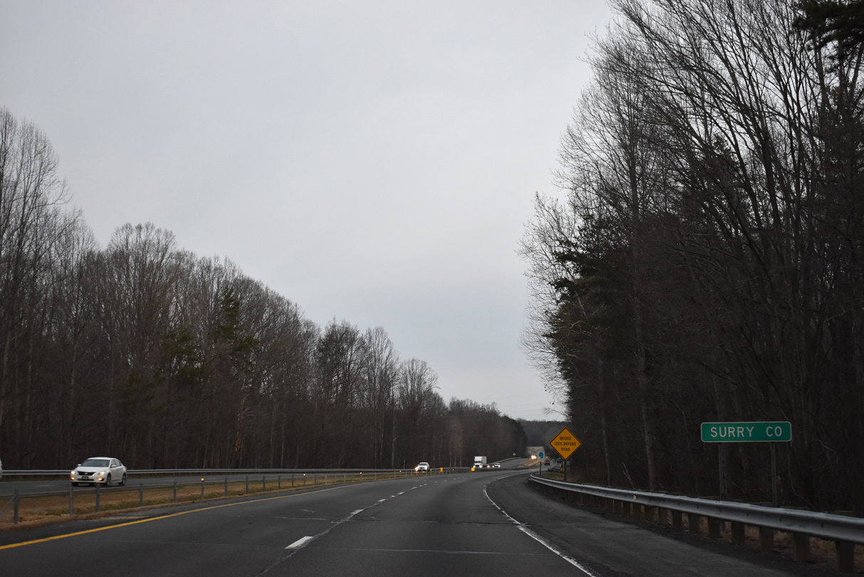
U.S. 52 enters Surry County just ahead of Pinnacle Hotel Road (SR 2061) underpass.
01/17/19
01/17/19
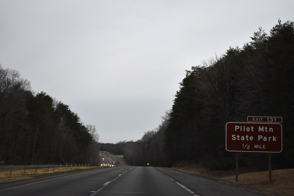
A parclo A2 interchange (Exit 131) joins U.S. 52 with Pilot Knob Park Road (SR 2053) in a half mile.
01/17/19
01/17/19
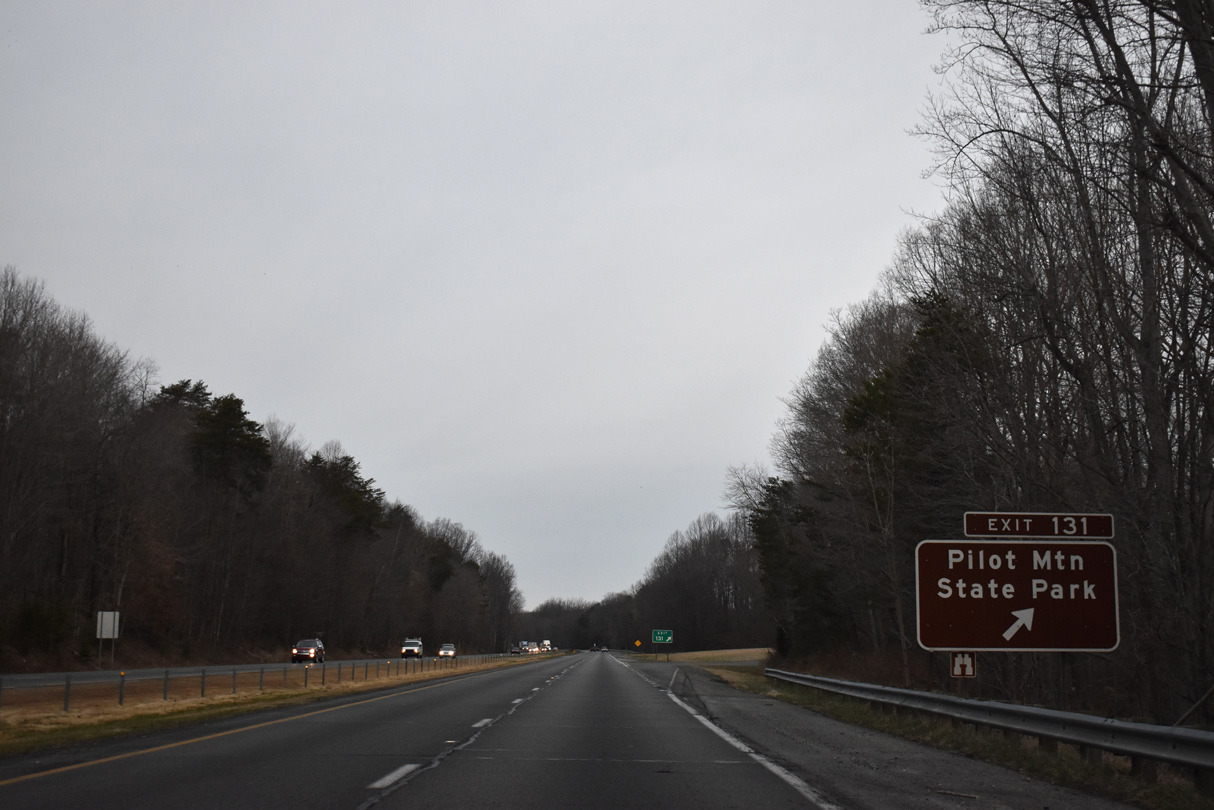
Pilot Knob Park Road climbs toward the peak of the adjacent mountain in the state park. East from Exit 131, Pilot Knob Park Road (SR 2063) meanders east to Old Winston Road near Pinnacle.
01/17/19
01/17/19
01/17/19
01/17/19
01/17/19
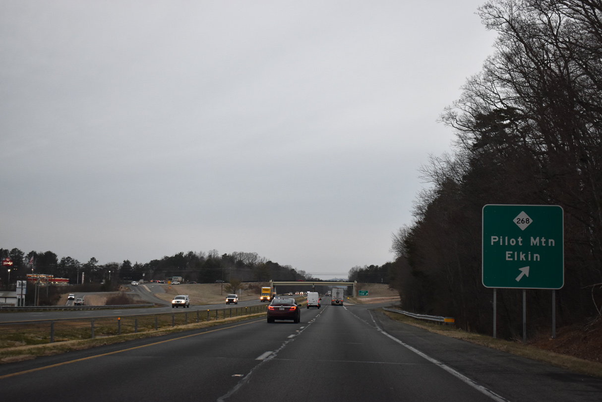
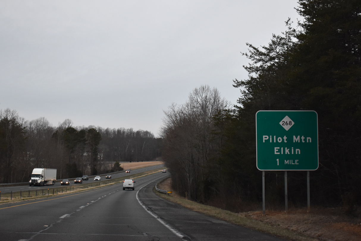
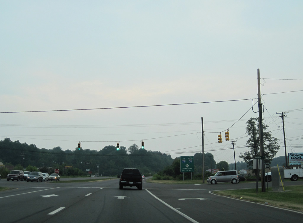
A dumbbell interchange (Exit 134) joins U.S. 52 with NC 268 (S Key Street) at the town of Pilot Mountain.
01/17/19
01/17/19
01/17/19
01/17/19
01/17/19
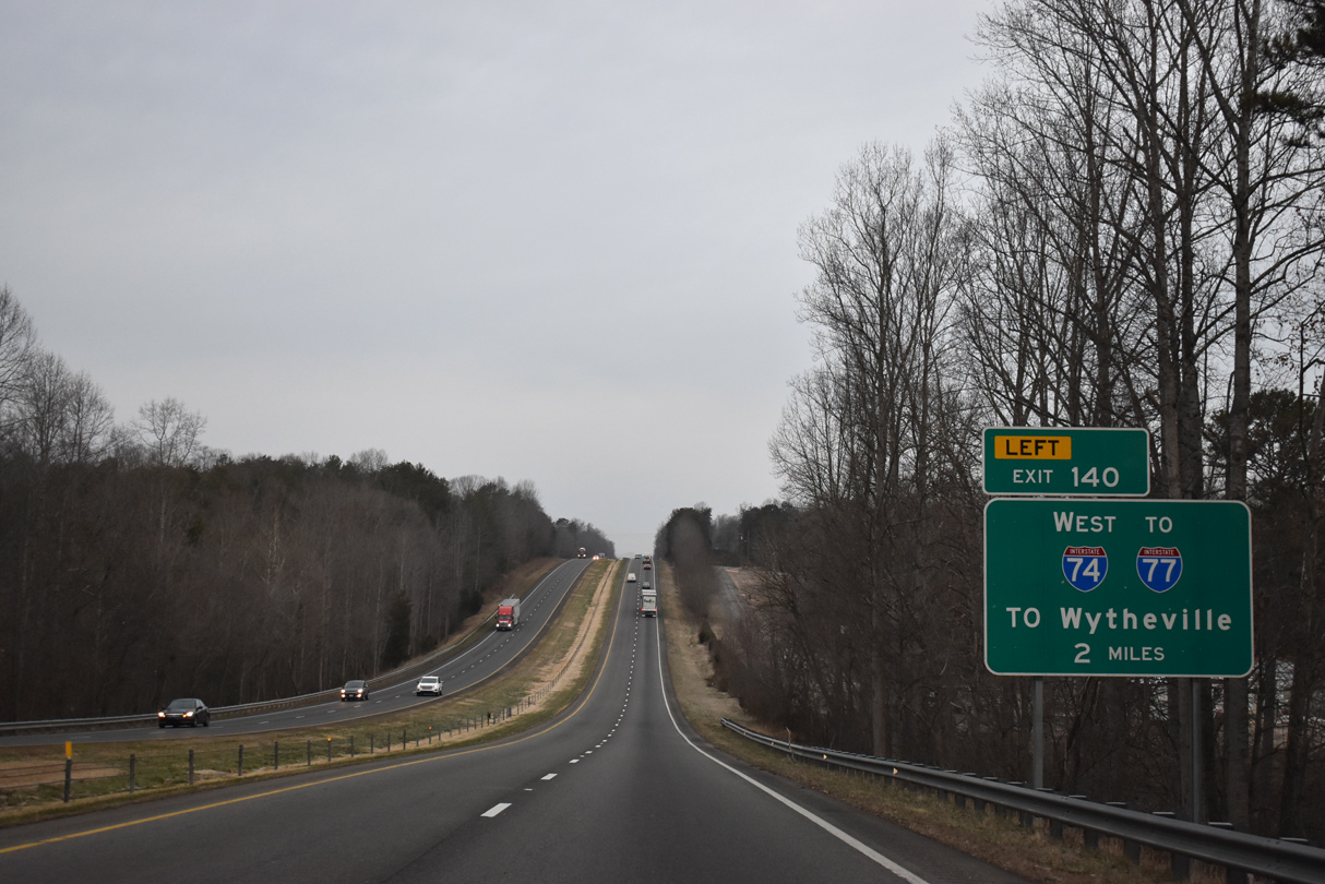
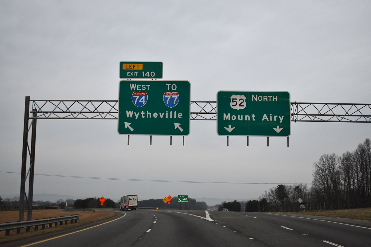
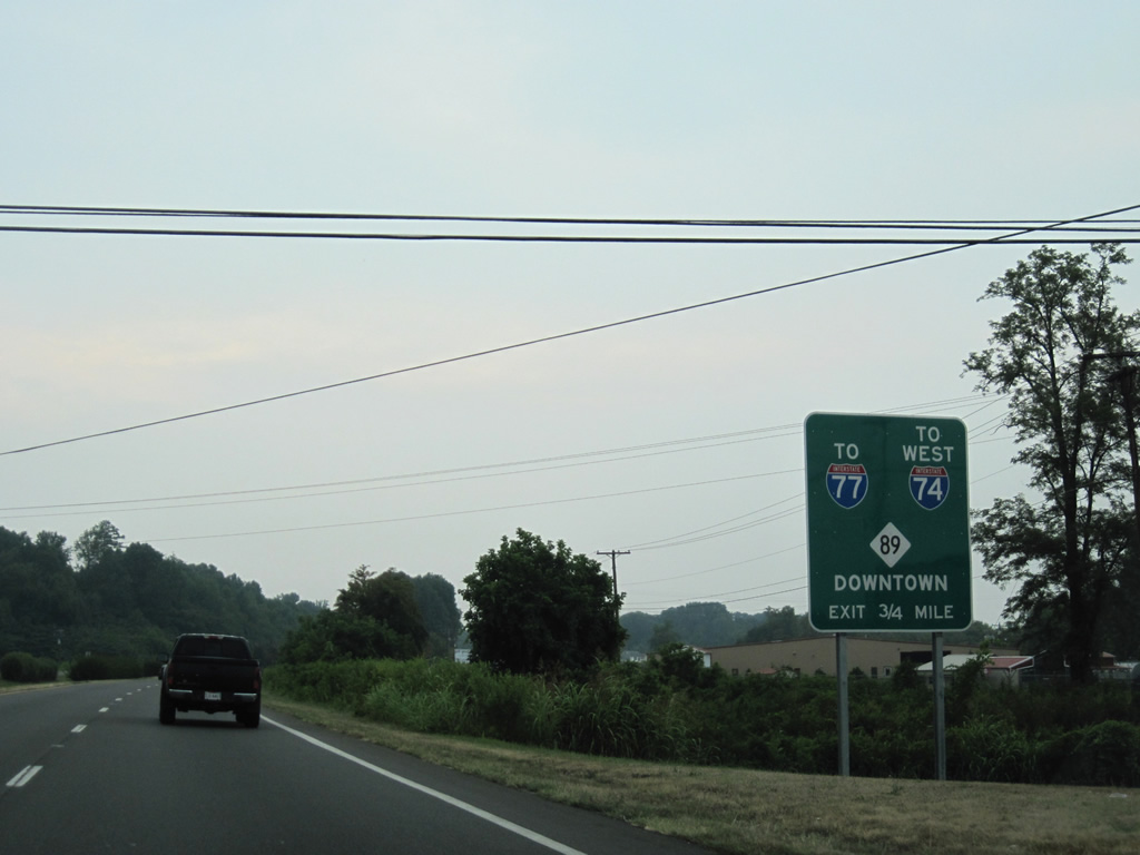
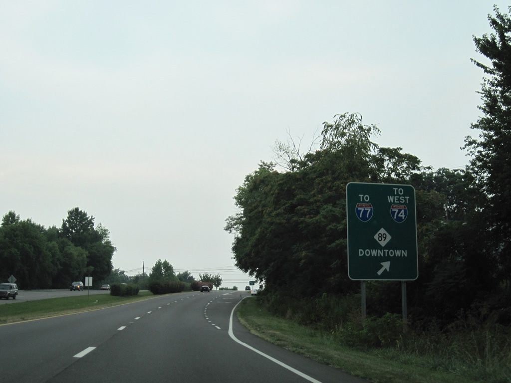
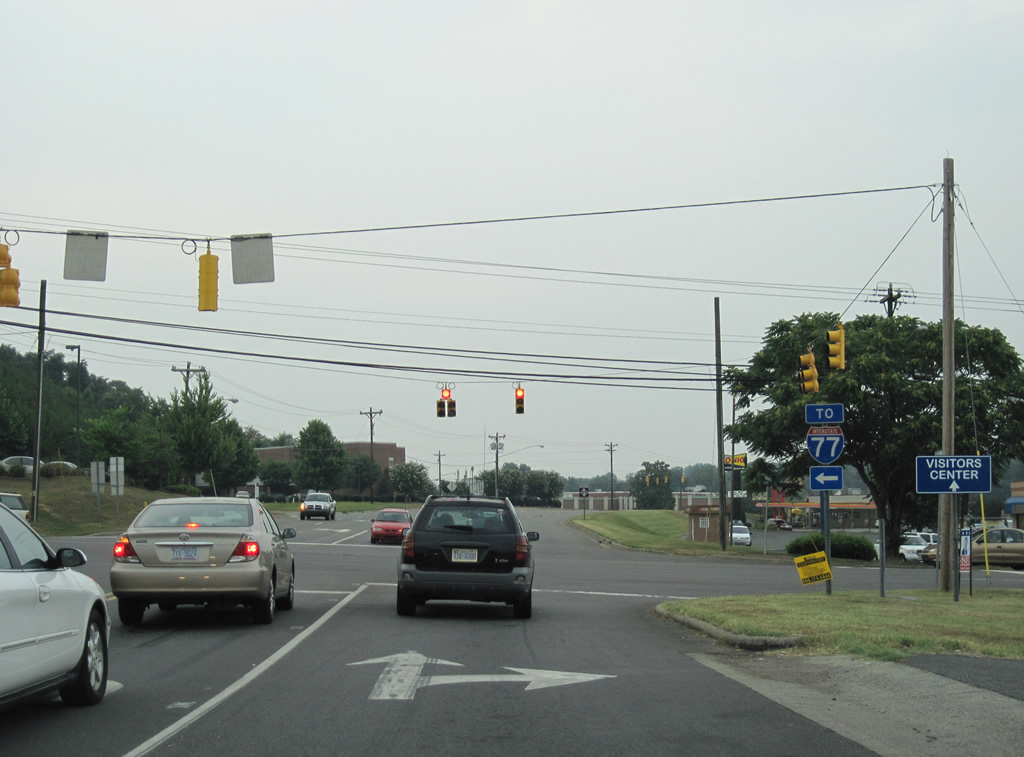
U.S. 52 splits with Interstate 74 west at Left Exit 140. Designated in April 2001, this stretch of I-74 bypasses Mt. Airy west to Interstate 77 north to Wytheville, Virginia.
01/17/19
01/17/19
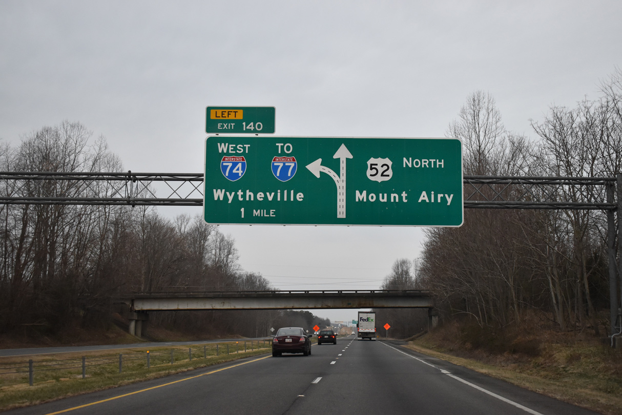
I-74 and U.S. 52 partition six miles southeast of Mt. Airy at a trumpet interchange (Exit 140).
01/17/19
01/17/19

Interstate 74 west merges with I-77 north to the Virginia state line, where the designation ends. I-77 continues north from there 14 miles to Hillsville and 32 miles to I-81 ahead of Wytheville.
01/17/19
01/17/19
The northernmost section of I-74 in North Carolina opened in 2000 as NC 752. Two exits serve Mount Airy and White Plains from Interstate 74 to the west.
01/17/19
01/17/19
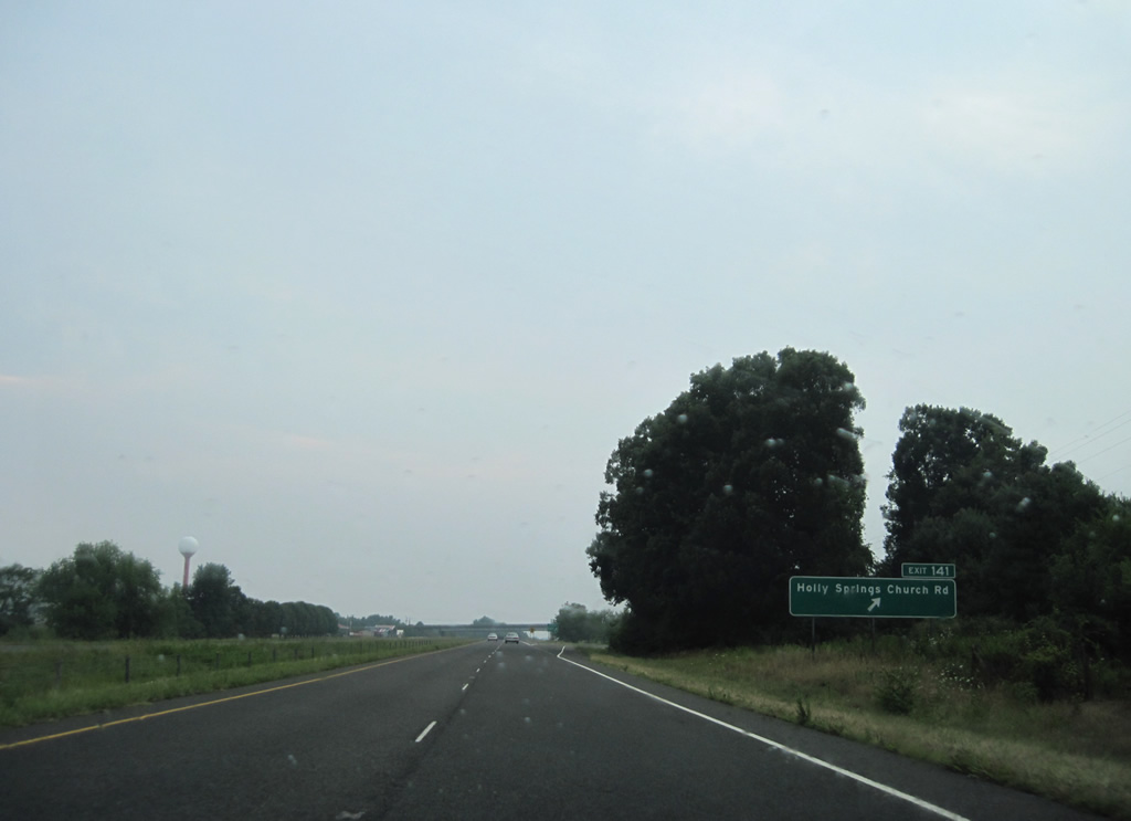
The freeway portion of U.S. 52 extends another 2.3 miles north from I-74. A parclo A2 interchange (Exit 141) links U.S. 52 with Holly Springs Road (SR 1815) to Old US 52 (SR 2012) and Mt Airy-Surry County Airport (MWK).
07/09/10
07/09/10
U.S. 52 dips into a valley fed by Rutledge Creek ahead of the traffic light with U.S. 52 Business (Main Street) north and Charlie Norman Road (SR 2011) south.
07/09/10
07/09/10
U.S. 52 Business loops north to Boones Hill, Bannertown and Mt. Airy. U.S. 52 (Andy Griffith Parkway) shifts westward along a four lane arterial.
07/09/10
07/09/10
An entrance ramp joins U.S. 52 north from S Main Street and U.S. 52 Business by this shield assembly.
07/09/10
07/09/10
The speed limit reduces as U.S. 52 enters the Mt. Airy city ahead of Arlington Street (SR 1863).
07/09/10
07/09/10
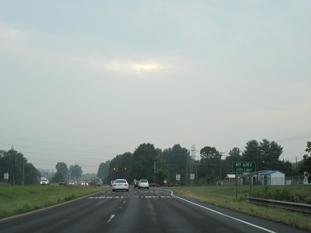
Crossing Seed Cane Creek, U.S. 52 (Andy Griffin Parkway) enters Mt. Airy. U.S. 52 arcs through western reaches of the city over the next 4.3 miles.
07/09/10
07/09/10
Arlington Street links with U.S. 52 Business (Main Street) near NC 89 (Westfield Road) at Bannertown 0.62 miles to the northeast. U.S. 52 Business/NC 89 overlap northward to Downtown Mt. Airy.
07/09/10
07/09/10
Carter Street (SR 2116) north and Newsome Street south come together at this traffic light with U.S. 52. Carter Street serves an industrial area to the west. Newsome Street enters a residential area to the east of Rockford Street.
07/09/10
07/09/10

U.S. 52 (Andy Griffith Parkway) crosses Lovills Creek just ahead of the north end of U.S. 601.
07/09/10
07/09/10
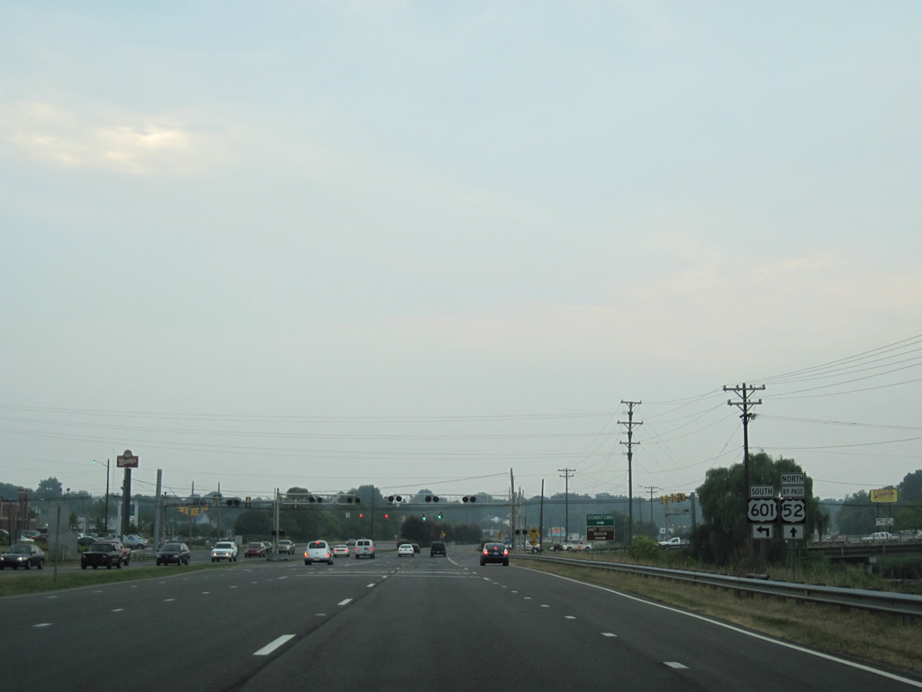
Traveling 316 miles overall south to Jasper County, South Carolina, U.S. 601 heads south to Yadkinville, Mocksville, Salisbury, Concord and Monroe.
07/09/10
07/09/10
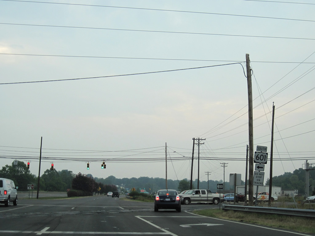
U.S. 601 (Rockford Street) south initially runs along a commercialized stretch. Curving westward, the four lane highway crosses Stewarts Creek to meet Interstate 74 at Exit 11.
07/09/10
07/09/10
U.S. 52 continues north from U.S. 601 to Worth Street east and Snowhill Drive (SR 1371) west at this traffic light.
07/09/10
07/09/10
Curving northward, U.S. 52 (Andy Griffith Parkway) advances 0.75 miles to a parclo interchange with NC 89 (W Pine Street).
07/09/10
07/09/10
I-74/77 are referenced for the respective interchanges with both along NC 89 west of Pine Ridge. The state route joins Mt. Airy with Toast.
07/09/10
07/09/10
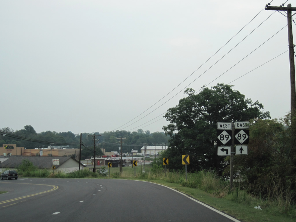
RIRO ramps links U.S. 52 north with an access road to NC 89 at W Pine Street and Independence Boulevard. NC 89 bypasses Downtown Mt. Airy along Independence Boulevard east to U.S. 52 Business (Renfro Street).
07/09/10
07/09/10
NC 89 (Pine Street) runs west from Toast to I-77 ahead of Beulah. Pine Street (SR 2432) continues 0.85 miles east along former NC 89 to U.S. 52 Business/NC 89 (Renfro Street) at NC 103.
07/09/10
07/09/10
Photo Credits:
- Brent Ivy: 01/17/19
- Alex Nitzman: 07/09/10
Connect with:
Page Updated Monday August 10, 2020.