
Historic U.S. 60/70 - Mecca to Shavers Valley

U.S. 60-70-99 used to follow California State Route 86 (Indio Boulevard) from Indio into Coachella, where Indio Boulevard becomes Grapefruit Boulevard. U.S. 60/70 separated from U.S. 99 at the intersection of Harrison Street and Grapefruit Boulevard. While U.S. 99 turned south on Harrison Street, U.S. 60-70 continued southeast along Grapefruit Boulevard to Thermal and ultimately Mecca.
Within Mecca, old U.S. 60/70 followed 4th Street northeast, Hammond Road southeast and 66th Avenue east. The highway continued east from 66th Avenue onto Box Canyon Road across the Mecca Hills. This alignment was later redesignated State Route 195.
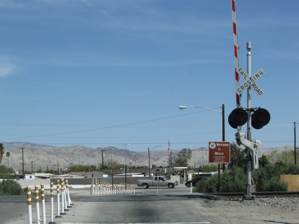
U.S. 60-70 crossed the railroad northeast from Grapefruit Boulevard (SR 111) via 4th Street into the unincorporated community of Mecca. Upon crossing the railroad tracks, U.S. 60-70 turned south onto Hammond Road. The intersection of 4th Street and Hammond Road was reconfigured into a roundabout by 2019.
03/14/09

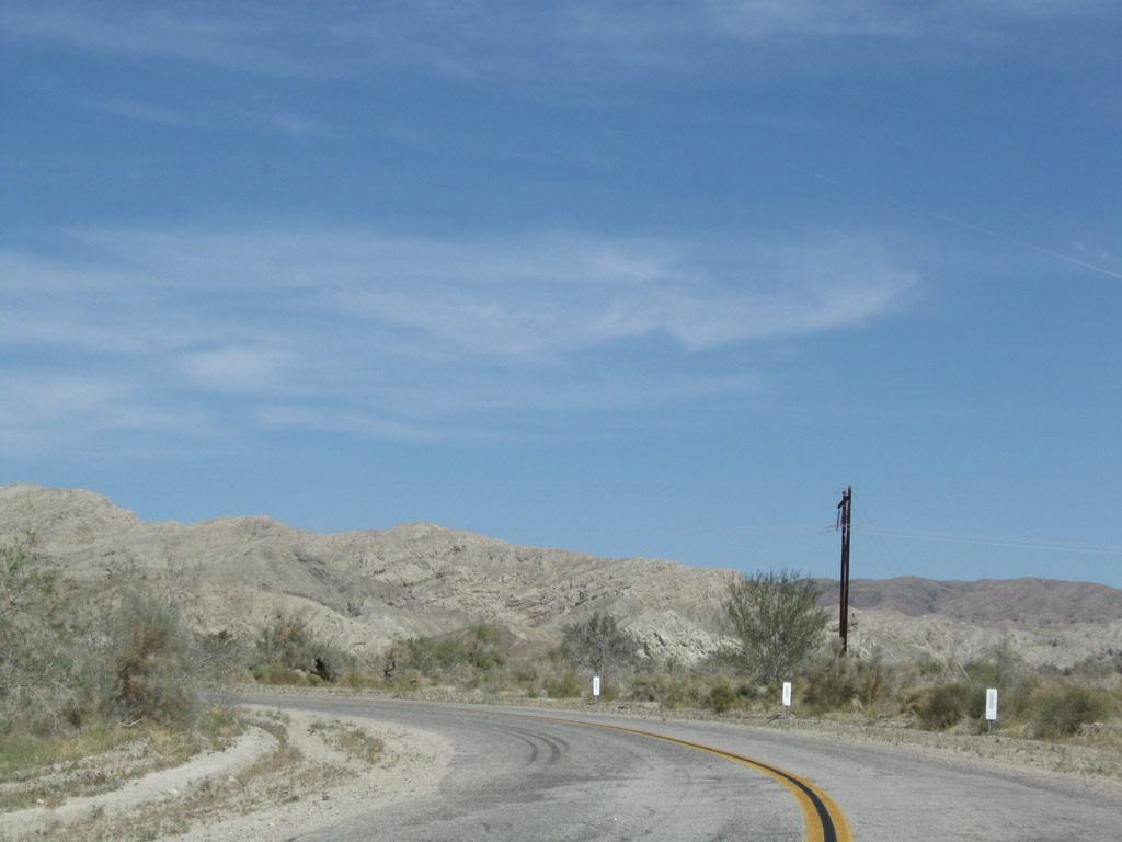
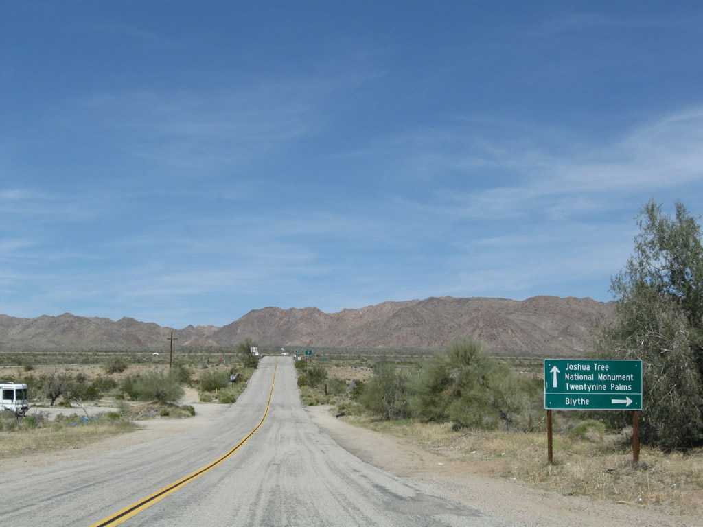
U.S. 60/70 followed Hammond Road three blocks southeast onto 66th Avenue east toward Box Canyon. The replacement of this guide sign made by 2019 removed Blythe and North Shore.
03/14/09
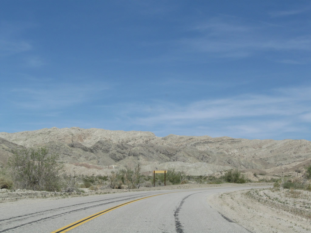
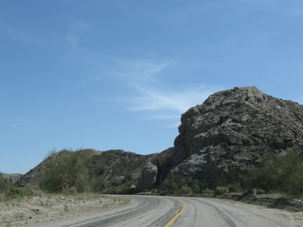
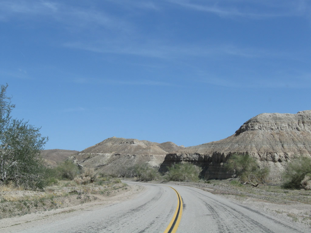
Former U.S. 60-70 travels east through Mecca toward Box Canyon, which sits between the Mecca Hills and Orocopia Mountains.
03/14/09
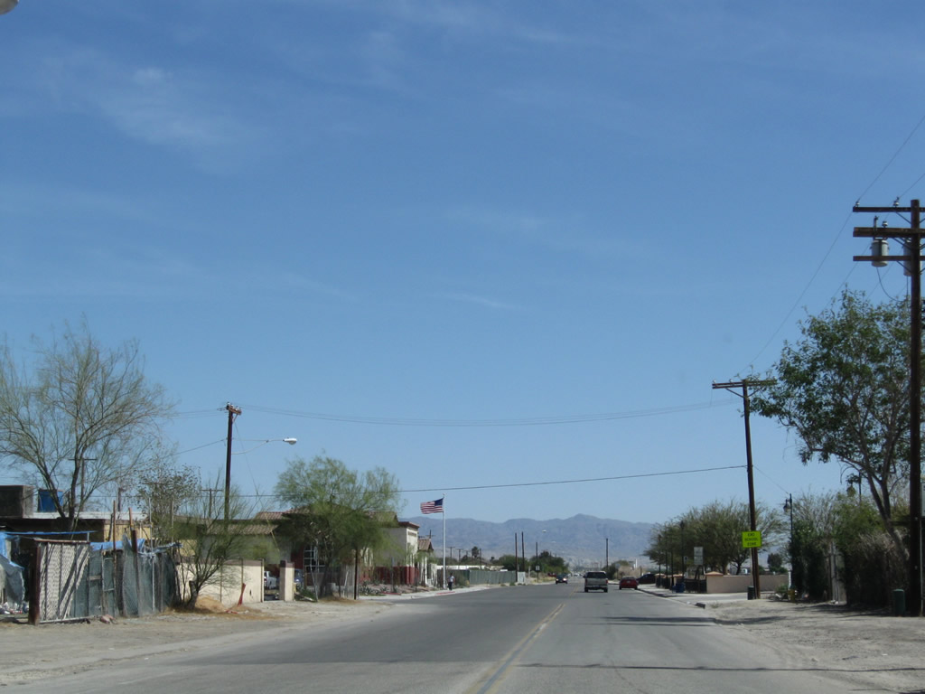
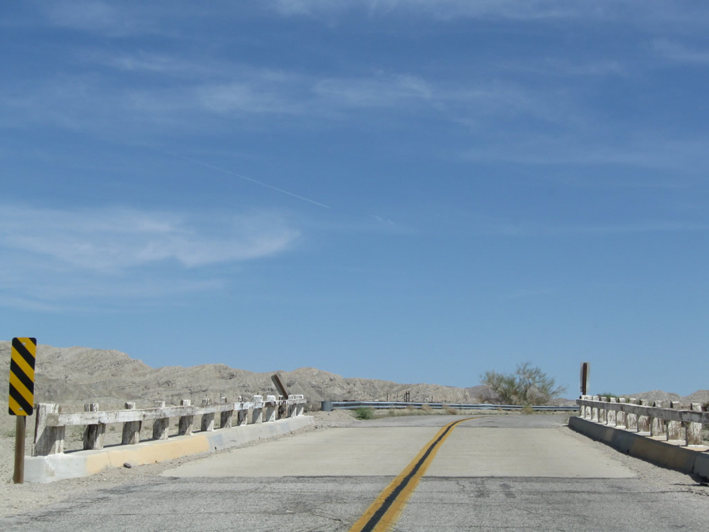
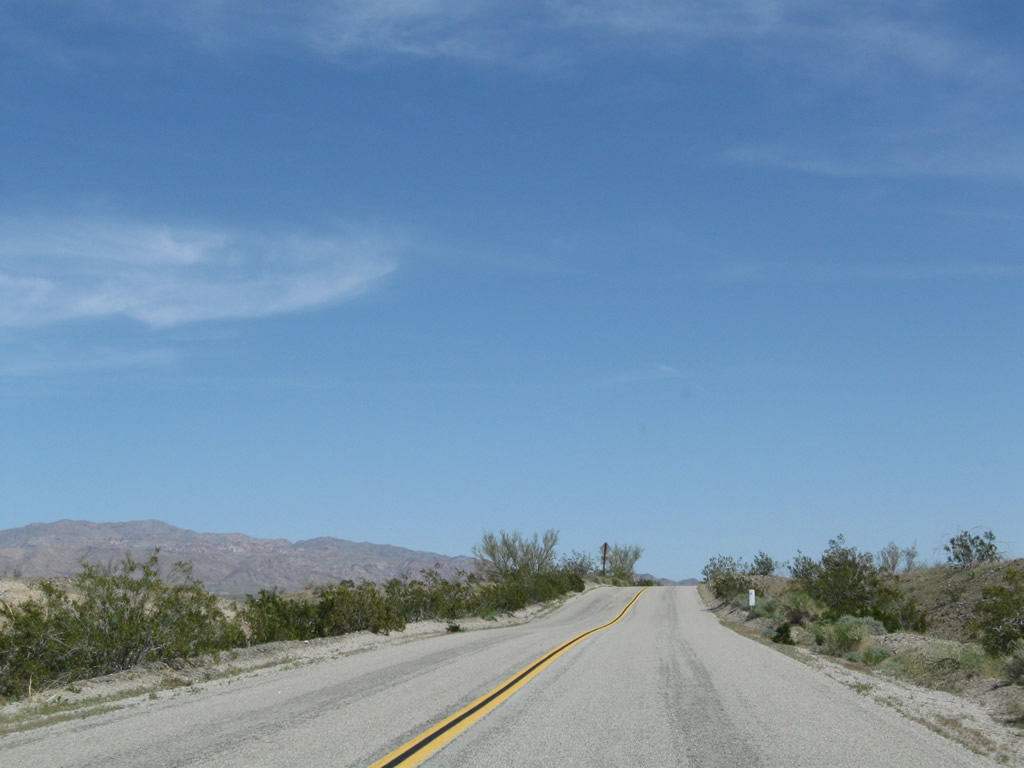
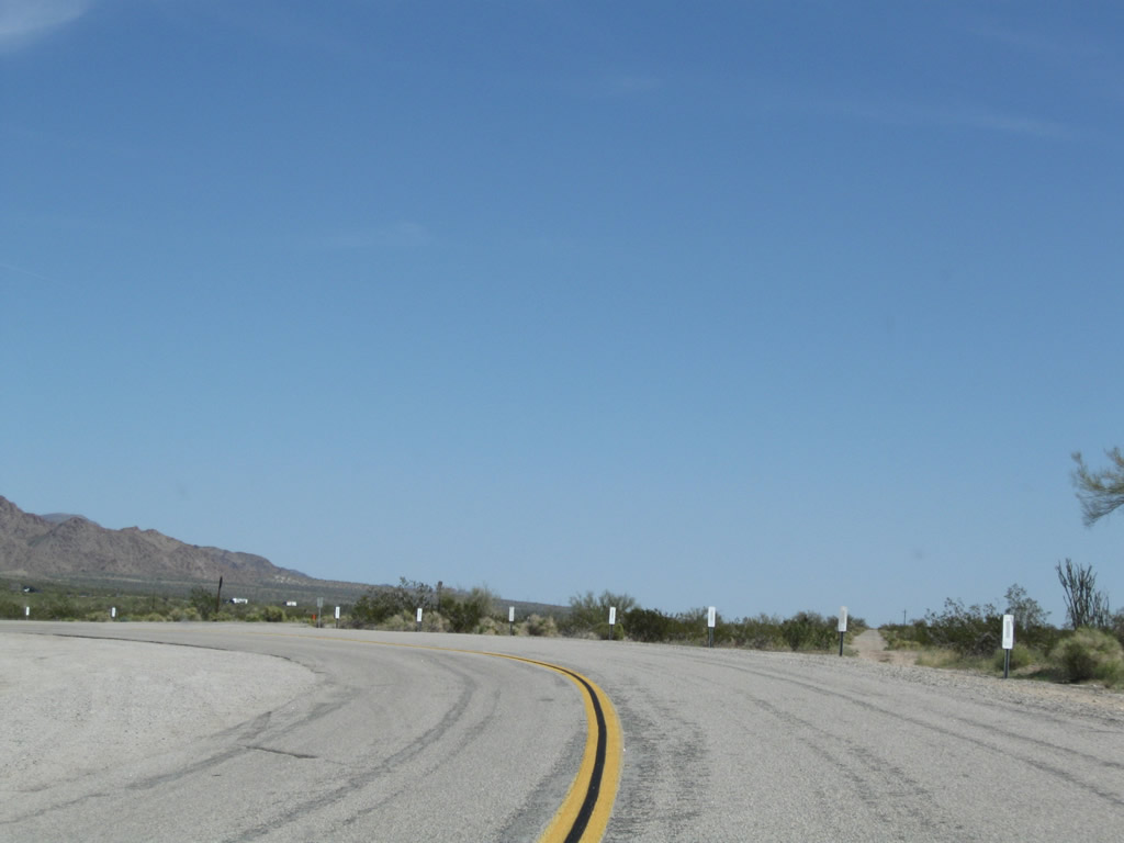
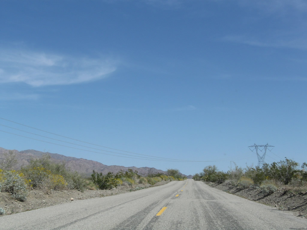
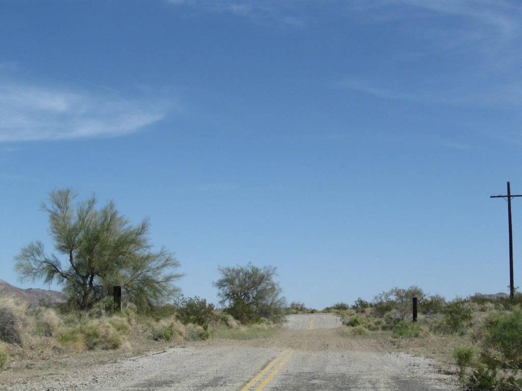
Eastbound Historic U.S. 60-70 (66th Avenue), which is also former SR 195, meets Johnson Street at this stop sign. Citrus orchards abound on all corners at this intersection.
03/14/09
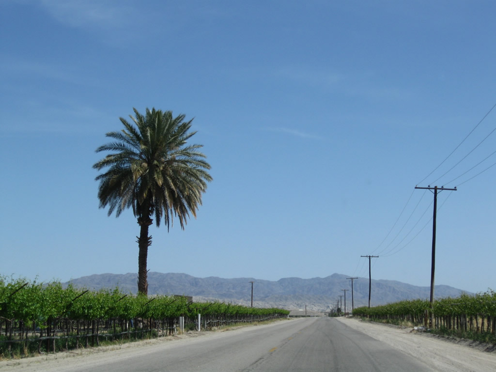
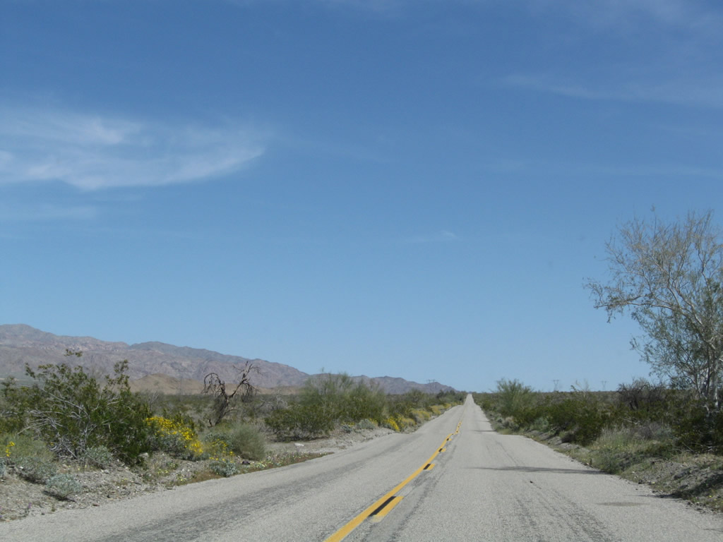
A lonely palm tree rises above a vineyard east of Mecca.
03/14/09
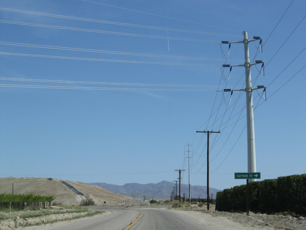
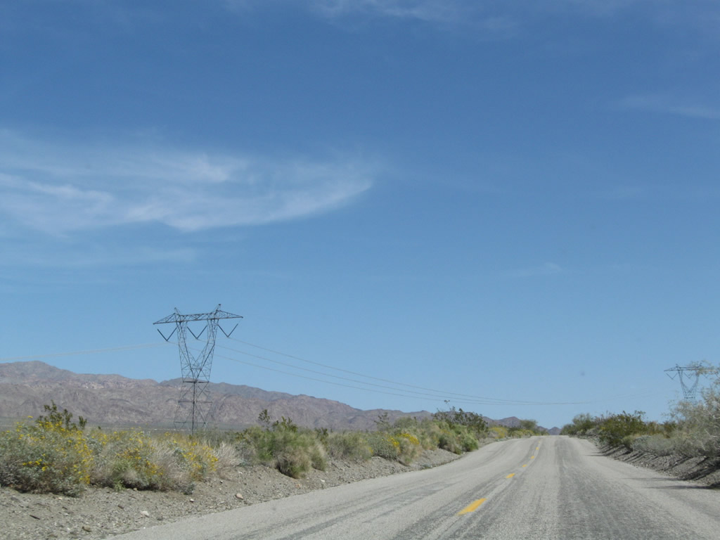
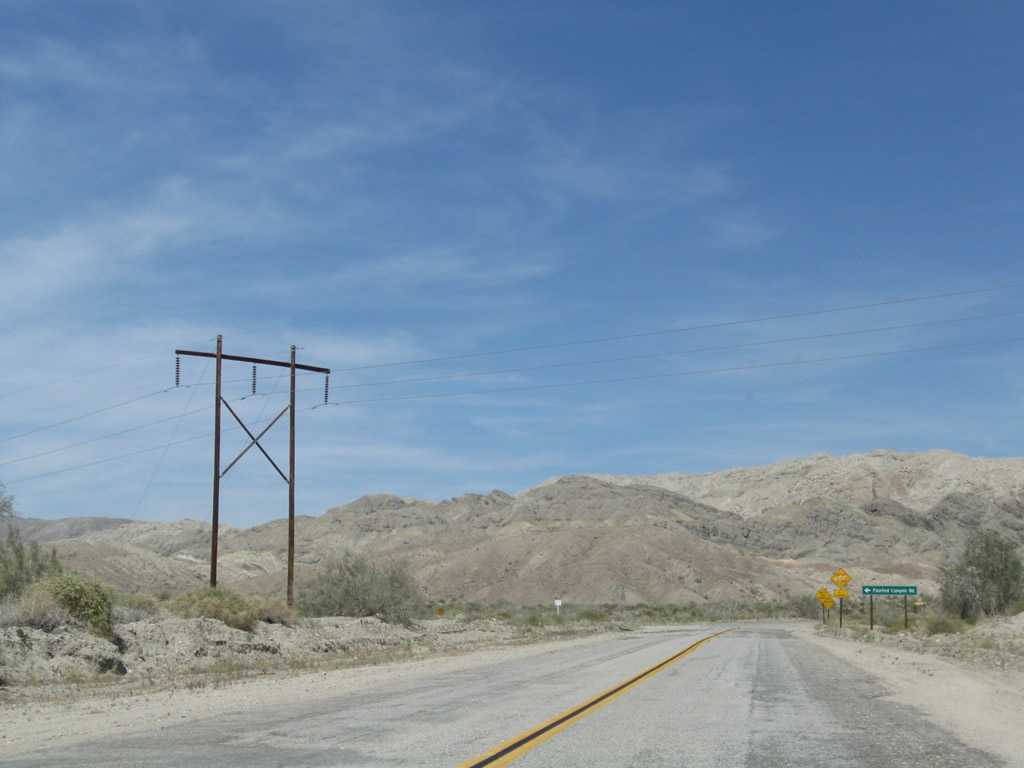
A high voltage power transmission line crosses over Historic U.S. 60-70 (66th Avenue) at Garfield Street and the transition onto Box Canyon Road northeast.
03/14/09
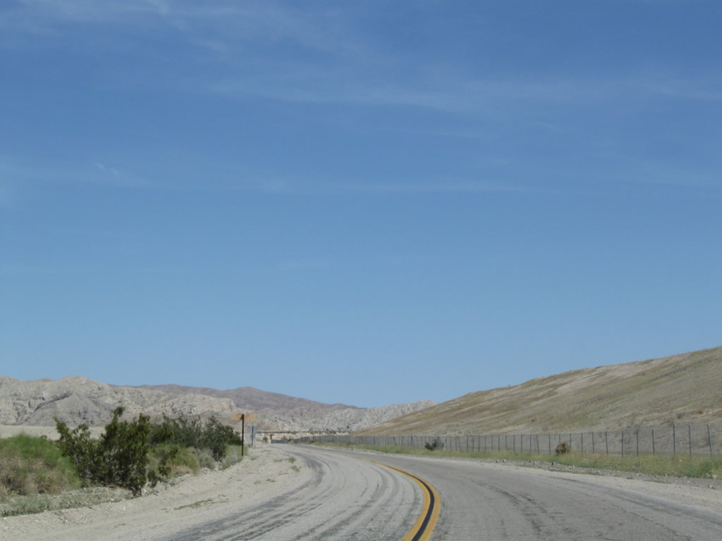
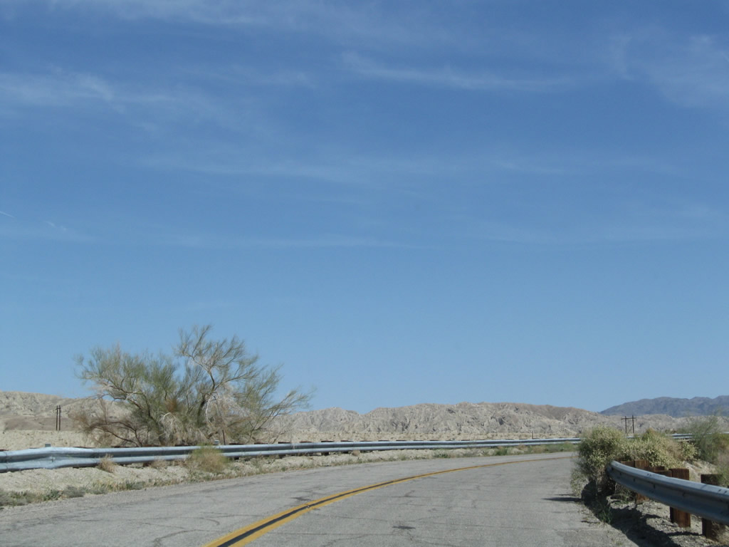
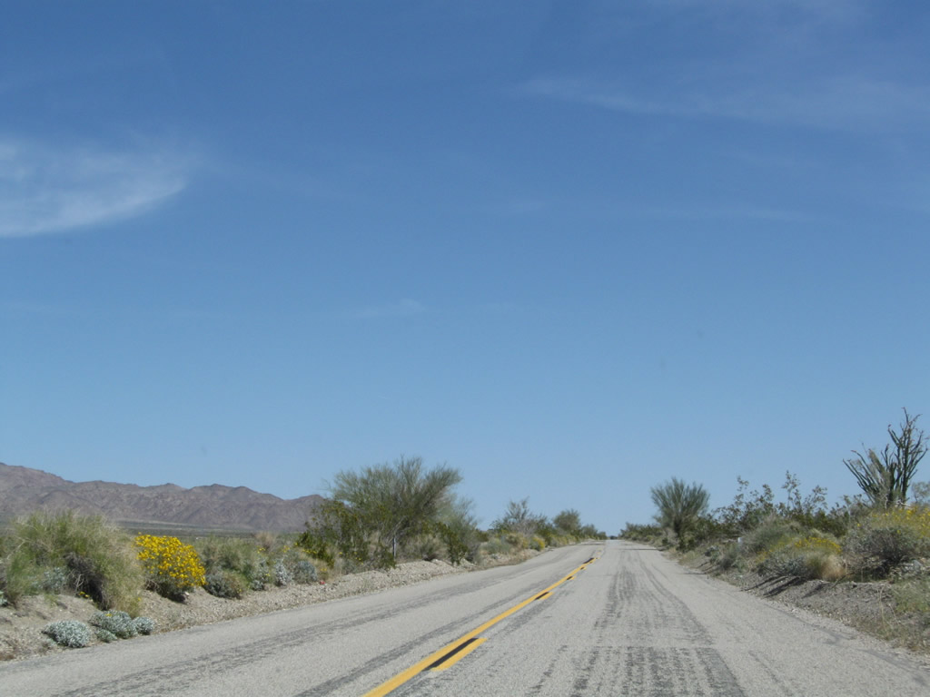
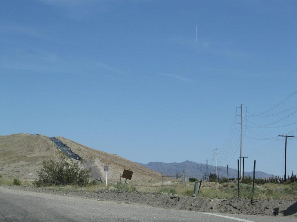
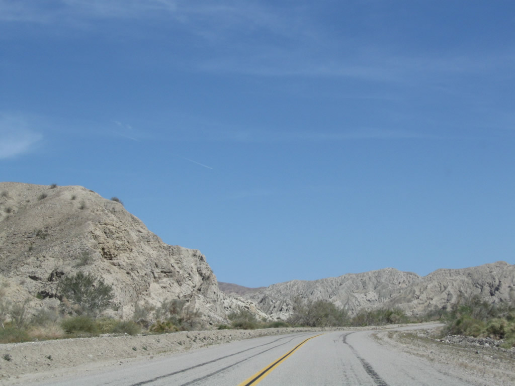
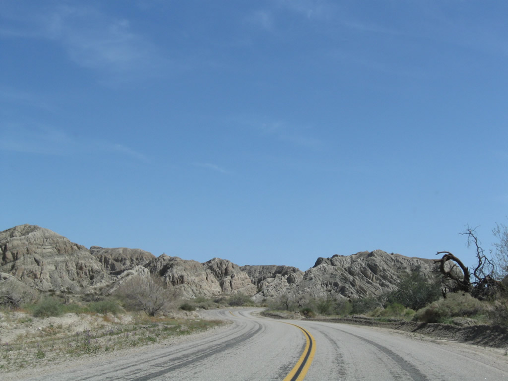
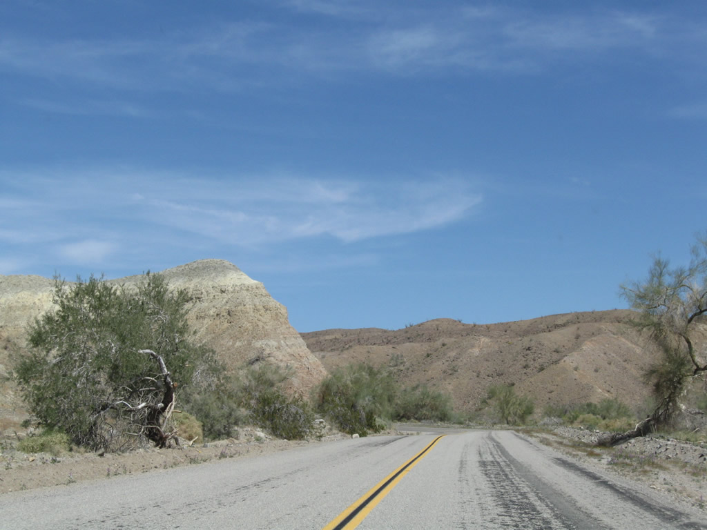
The landscape along old U.S. 60/70 shifts from agriculture to desert canyon along Box Canyon Road.
03/14/09
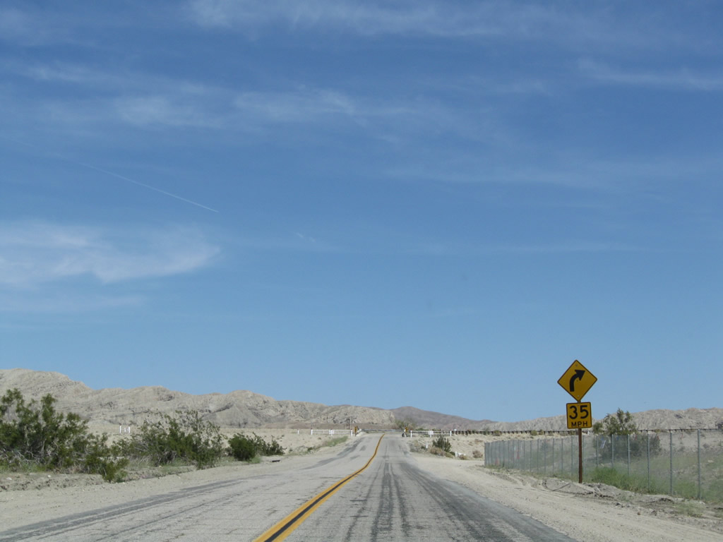
Historic U.S. 60-70 angles northeast to the Coachella Canal.
03/14/09
An old bridge carries old U.S. 60-70 over the Coachella Canal.
03/14/09
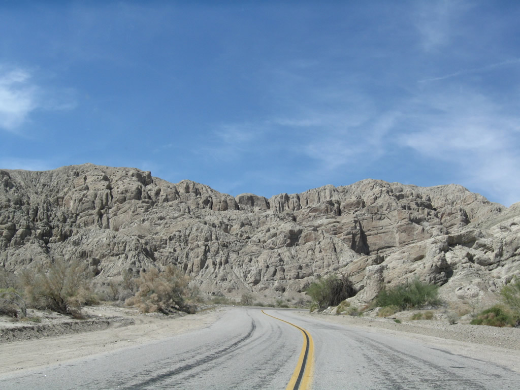
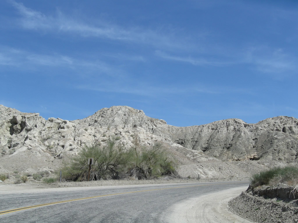
Much of old U.S. 60-70 east of the Coachella Canal is substandard with narrow a roadway without shoulders, sharp curves, limited road cuts, and deteriorating asphalt. With limited traffic, this road is meant to be enjoyed as it was back when it served as the principal route east to Blythe and Phoenix.
03/14/09
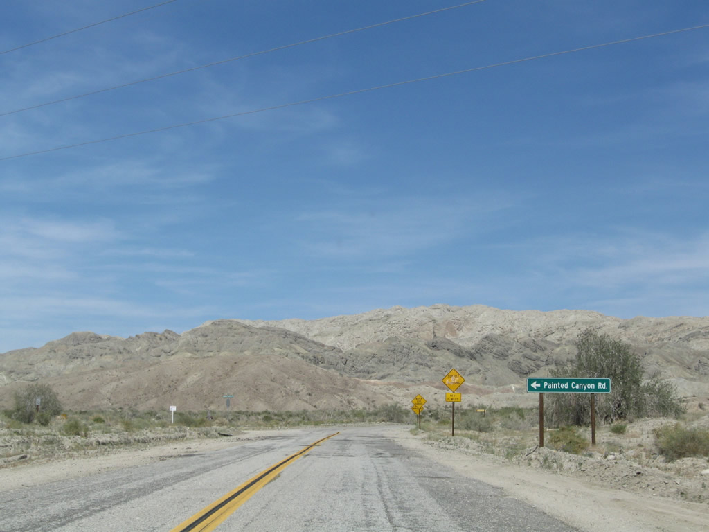
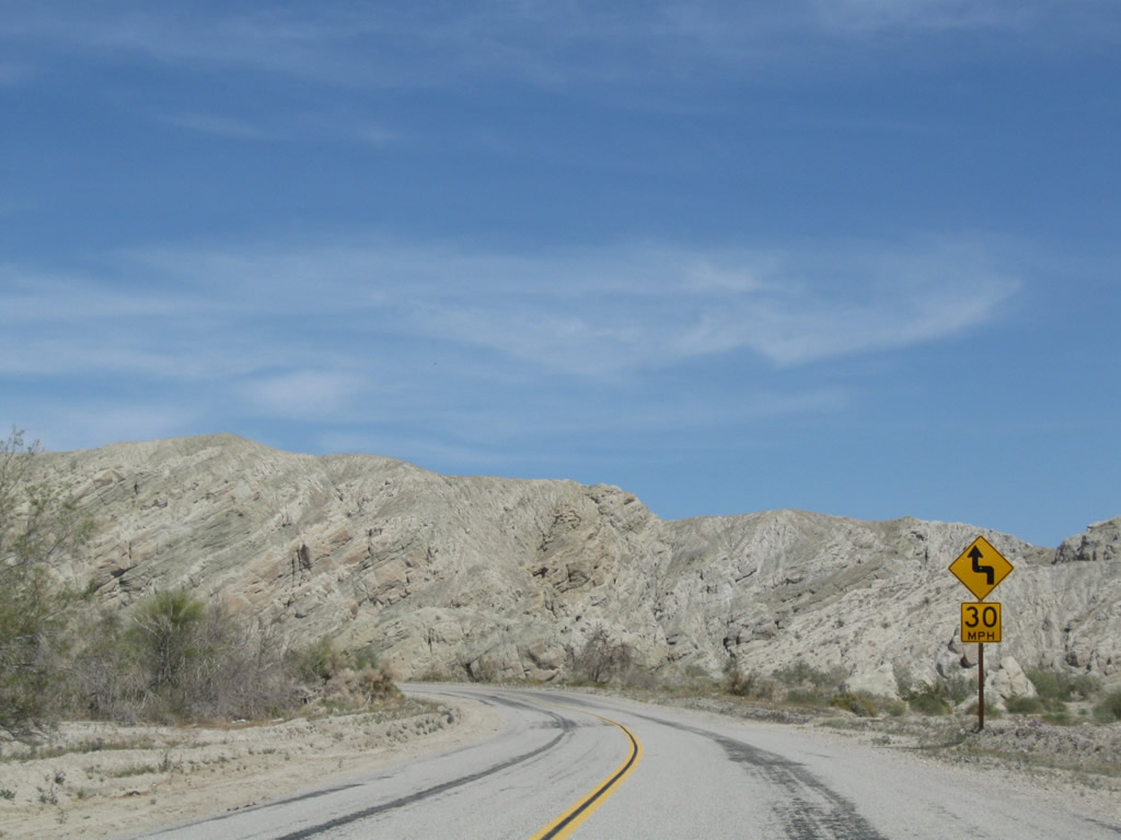
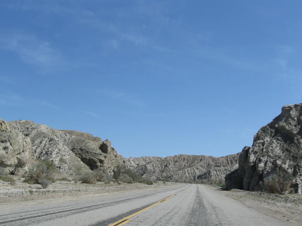
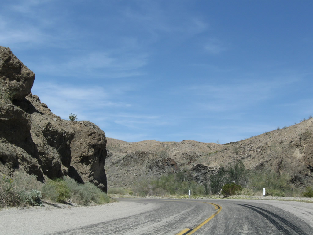
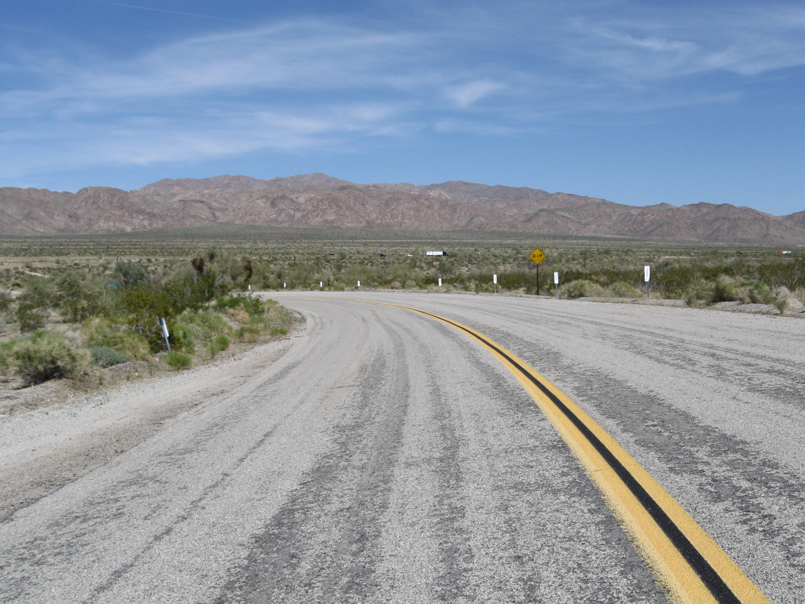
Box Canyon Road navigates through an S-curve ahead of Painted Canyon Road.
03/14/09
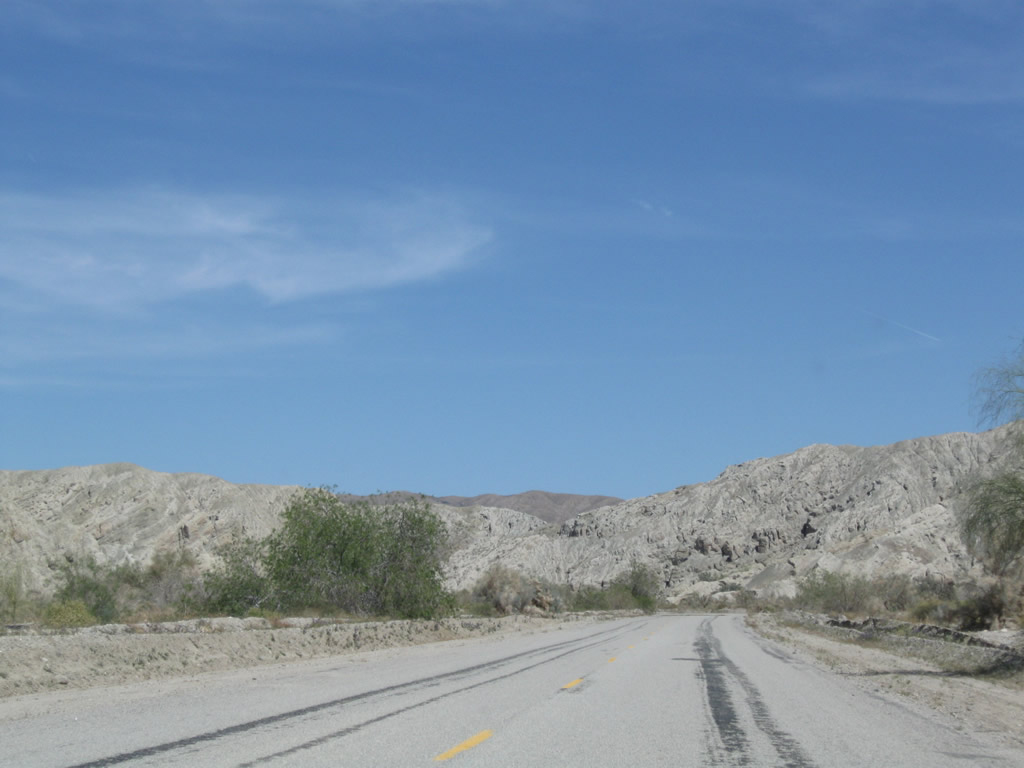
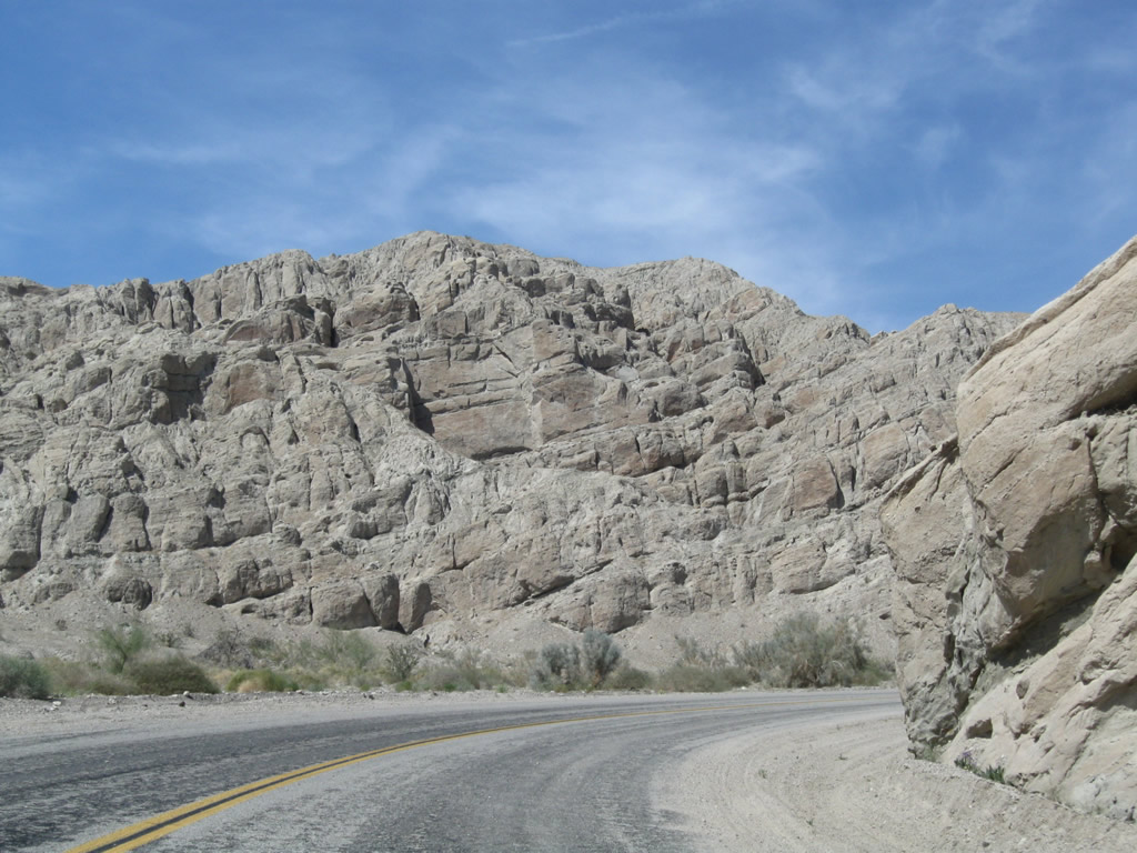
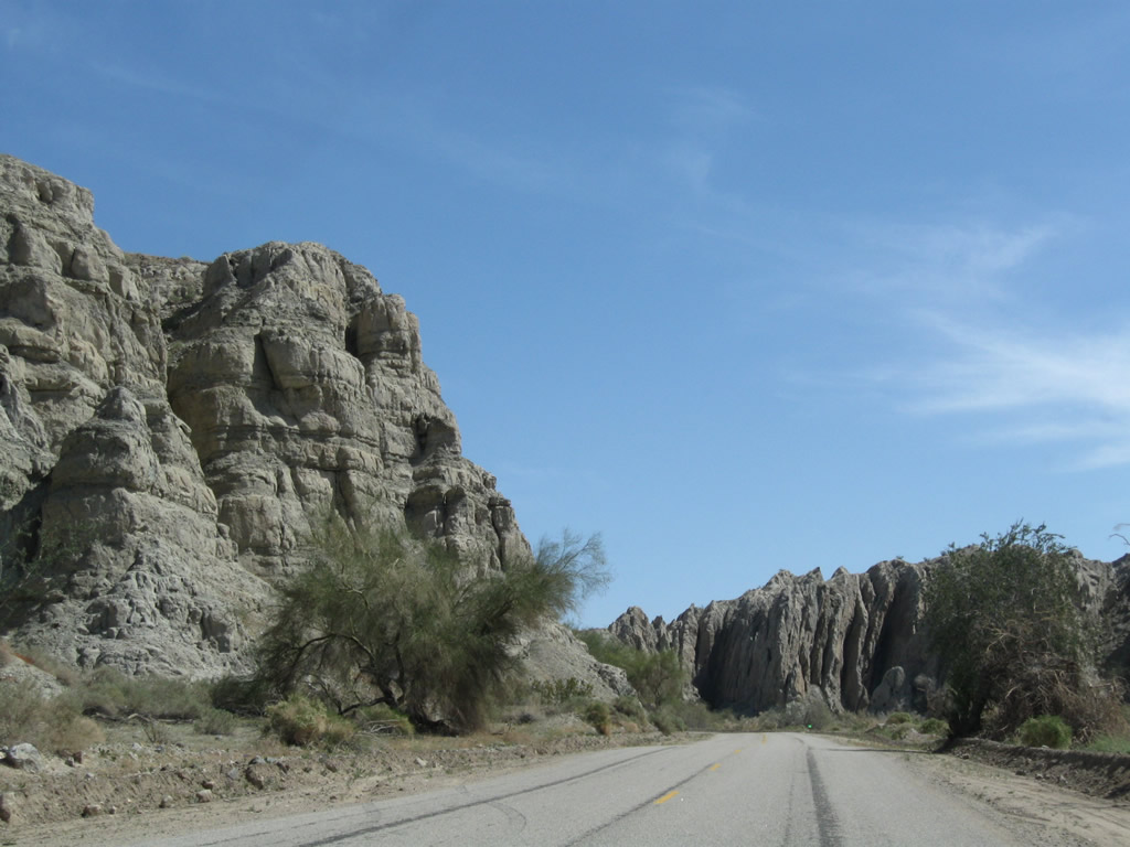
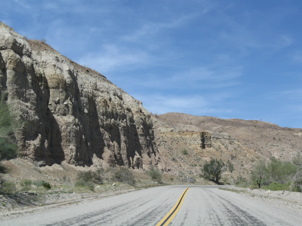
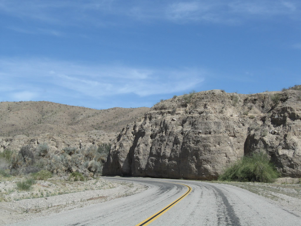
Historic U.S. 60-70 crosses the Mecca Hills along a 7.2 mile course mostly through Box Canyon.
03/14/09
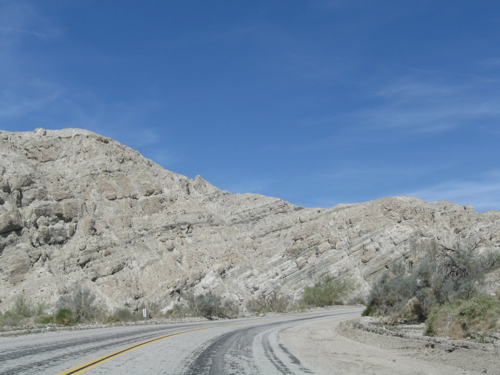
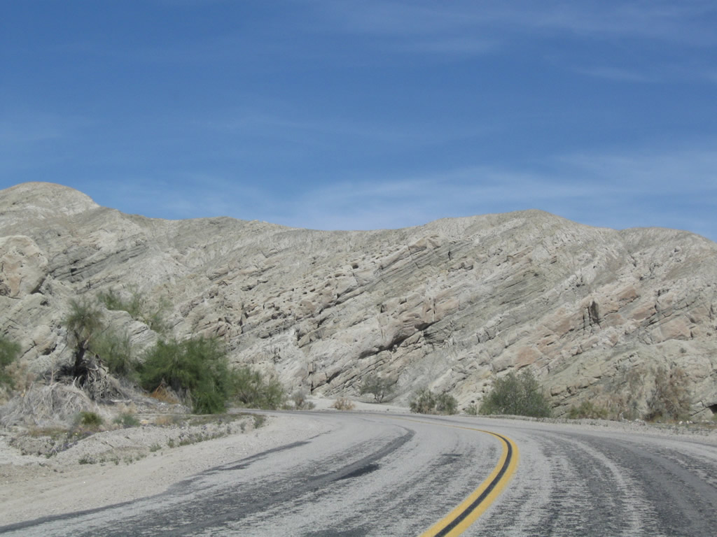
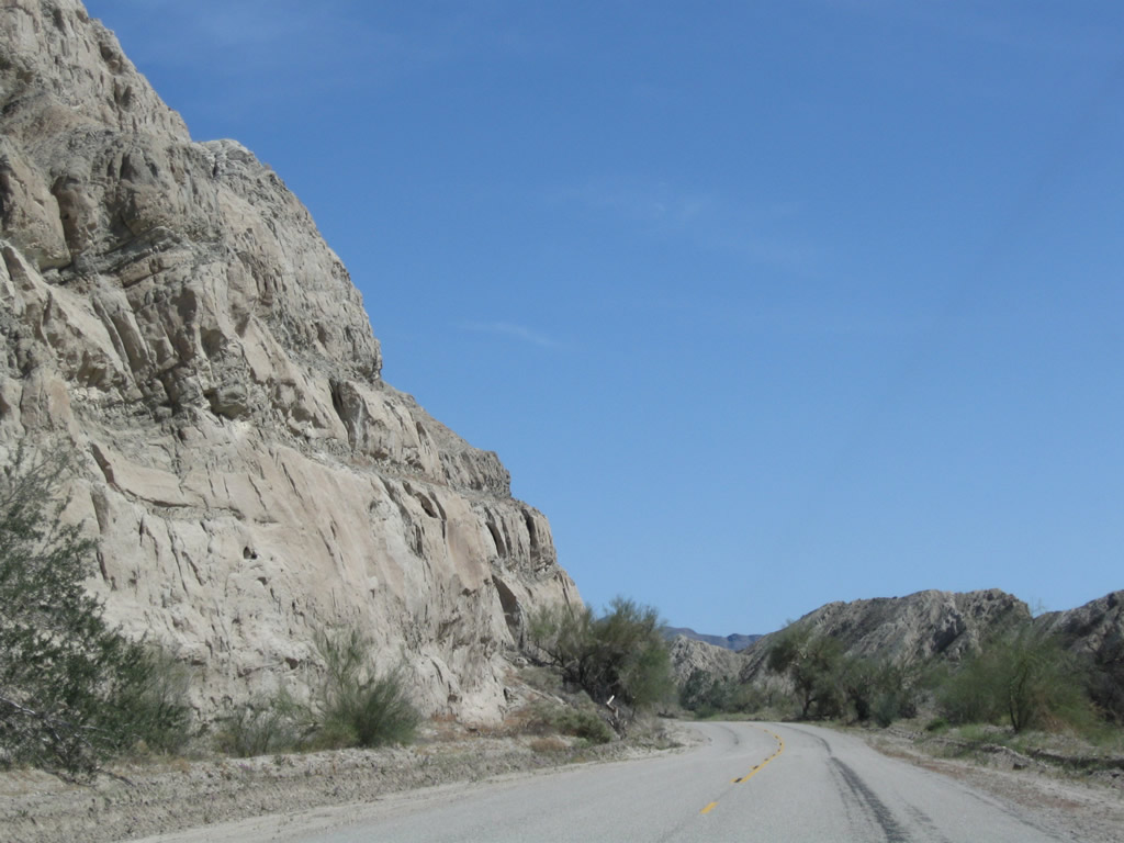
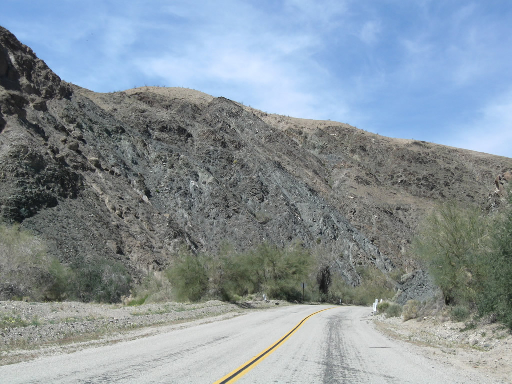
Sandstone rock formations line both sides of the canyon, which is subject to flooding during rainstorms during Winter and Summer monsoons. Palo verde and sage scrub grows near the canyon floor, but life is otherwise limited in Box Canyon.
03/14/09
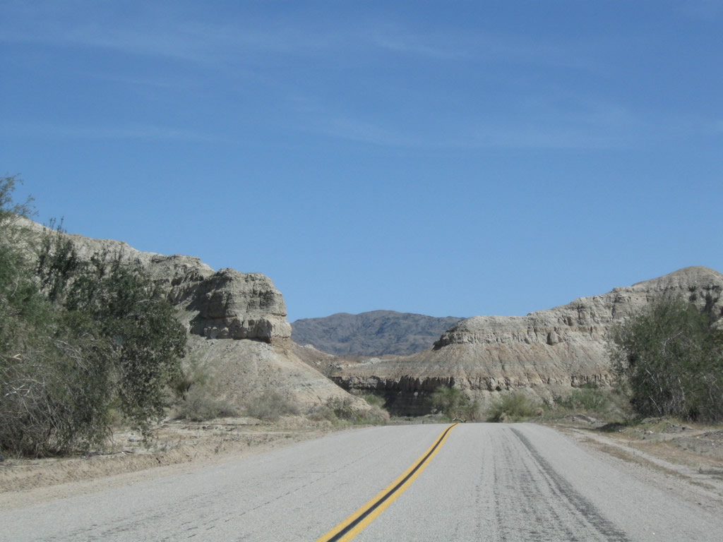
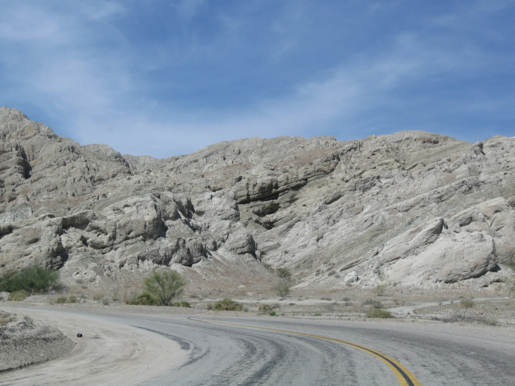
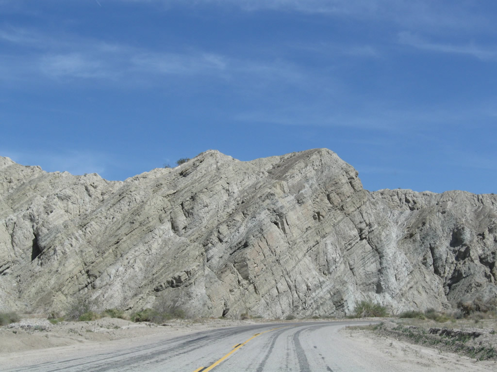
The twisting rock formations add a colorful look to Box Canyon, especially around sunset. Along the south side of the highway is Sheep Hole Oasis.
03/14/09
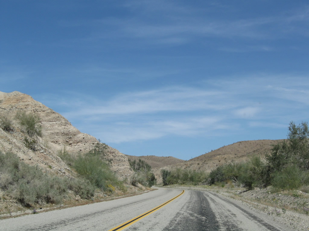
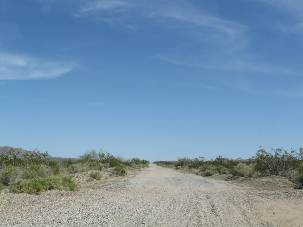
Leaving Box Canyon, Historic U.S. 60-70 enters Shavers Valley. The Cottonwood Mountains, which separate the Colorado Desert from the Mojave Desert, rise to the north.
03/14/09
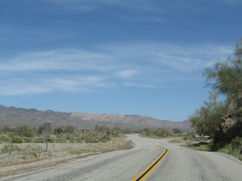
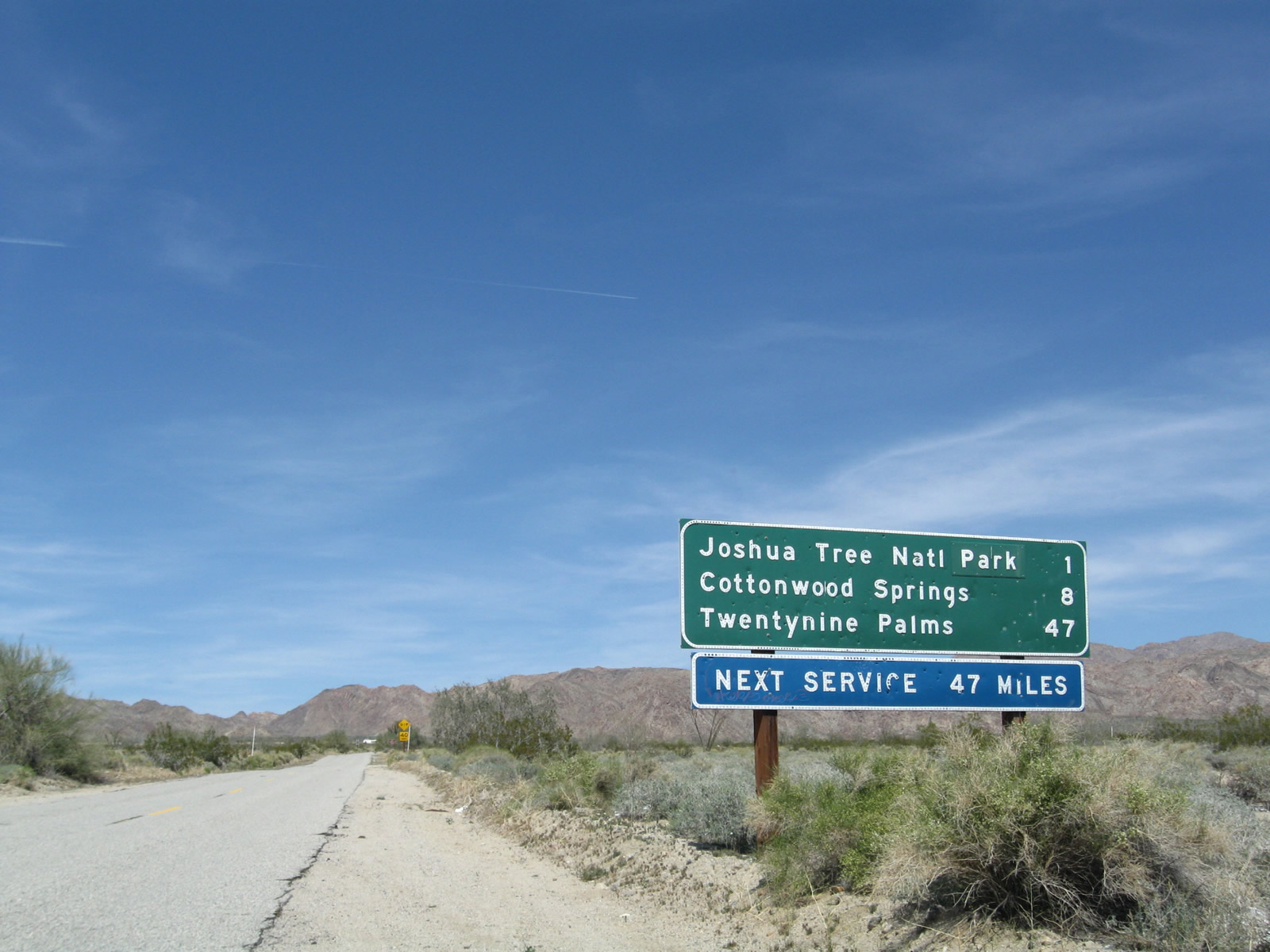
Beyond the distant Cottonwood Mountains lies Pinto Basin, which is home to Joshua Tree National Park and its unique Joshua Trees found in the Mojave Desert.
03/14/09
Modern road construction would demand the road be flattened and straightened through an area like this, but road construction practices of the 1930s left roads undulating with the existing landscape.
03/14/09
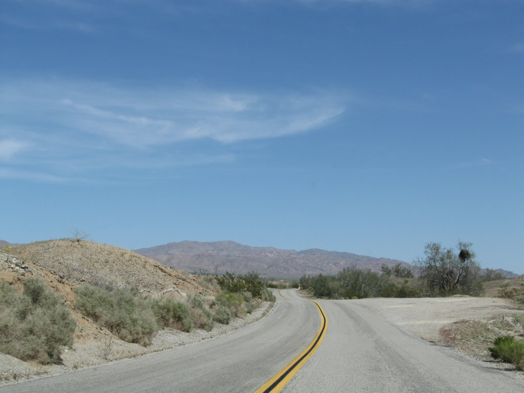
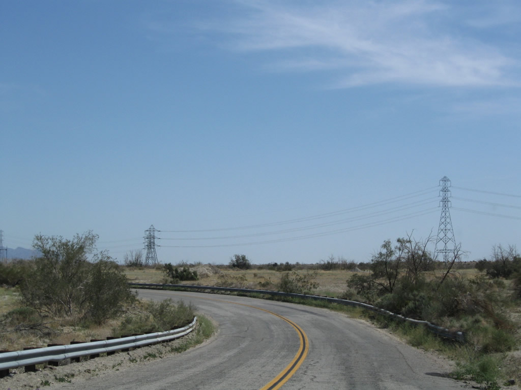
Turning northeast, Box Canyon Road beelines toward Chiriaco Summit and Interstate 10.
03/14/09
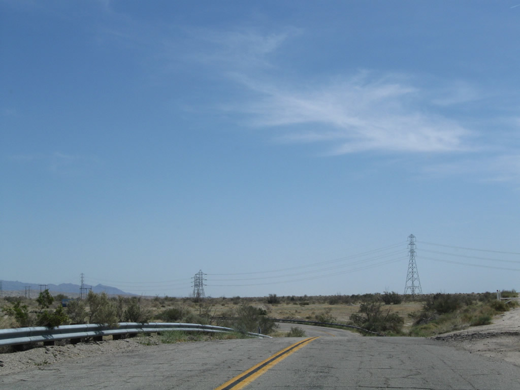
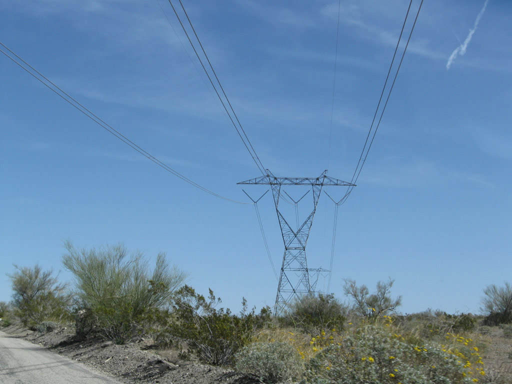
A 500kV Southern California Edison power line crosses over Historic U.S. 60-70 (Box Canyon Road). East from here, the 500kV Palo Verde-Devers line (part of Path 46) interconnects Palm Springs with the Palo Verde Nuclear Generating Station in Arizona.
03/14/09
Box Canyon Road east of Buried Mountain and north of the Orocopia Mountains.
03/14/09
Box Canyon Road (old SR 195) originally converged with Pinto Road (old U.S. 60/70) east from Cottonwood Springs Road directly. This alignment was abandoned when Box Canyon Road realigned northward directly onto Cottonwood Sprigns Road ahead of Interstate 10 at Exit 168.
03/14/09
The original alignment of old U.S. 60/70 along Box Canyon Road extended east from Cottonwood Springs Road to Pinto Road. This abandoned section of roadway likes southeast of the Cottonwood Springs Interchange along Interstate 10.
03/14/09
Floodwaters have ravaged segments of old Box Canyon Road, leaving only gravel and sand left on top of the original roadbed. The newer alignment of old U.S. 60-70 along Pinto Road overtakes Box Canyon Road just ahead.
03/14/09
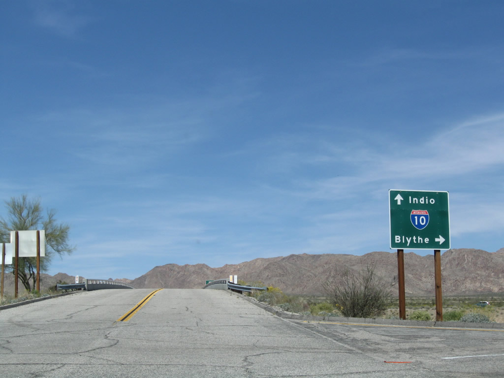
Cottonwood Springs Road enters the diamond interchange (Exit 168) with Interstate 10 north of Pinto Road. Pinto Road east to Chiriaco Summit was the final alignment U.S. 60/70 took prior to the completion of Interstate 10.
03/14/09
Interstate 10 travels east from Cottonwood Springs Road to Blythe and Phoenix, Arizona.
03/14/09
Interstate 10 was built directly over the later alignment of U.S. 60/70 from Cottonwood Springs Road west to what was Cactus City.
03/14/09
Cottonwood Springs Road continues north from Interstate 10 into Joshua Tree National Park.
03/14/09
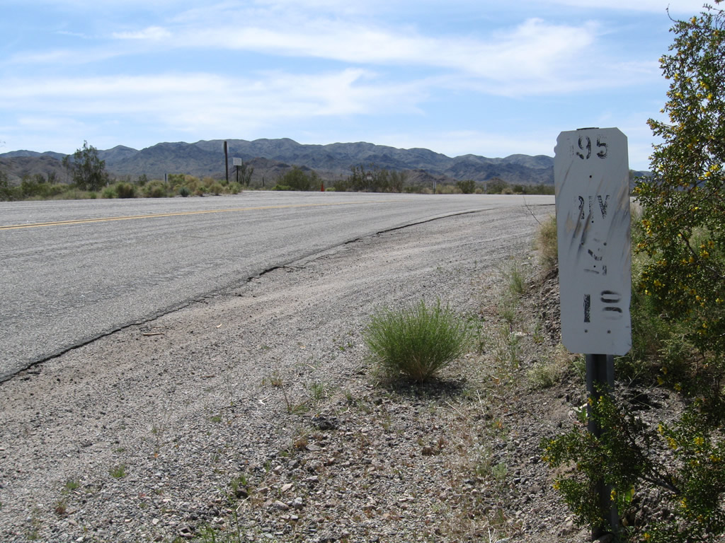
A remnant postmile marker for former California 195 is posted along Historic U.S. 60-70 where Cottonwood Springs Road south transitions onto Box Canyon Road west.
03/14/09
Photo Credits:
- Andy Field: 03/14/09
Connect with:
Page Updated Friday January 21, 2011.