
Historic U.S. 60/70 - Chiriaco Summit

Old U.S. 60/70 along Pinto Road diverges southward from Interstate 10 from Cottonwood Springs Road.
03/14/09
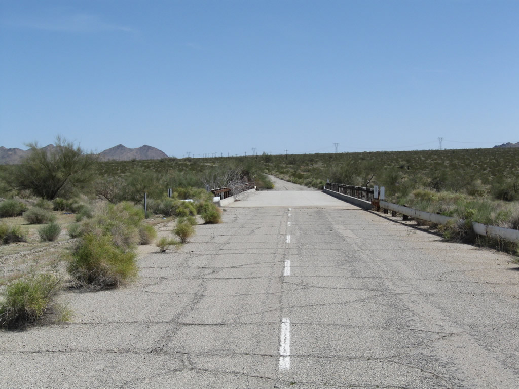
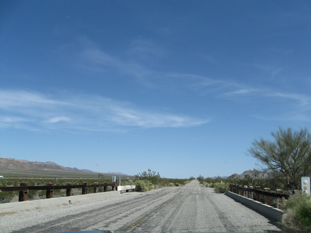
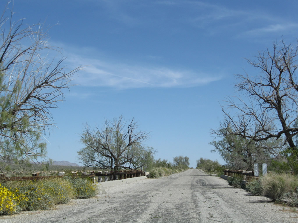
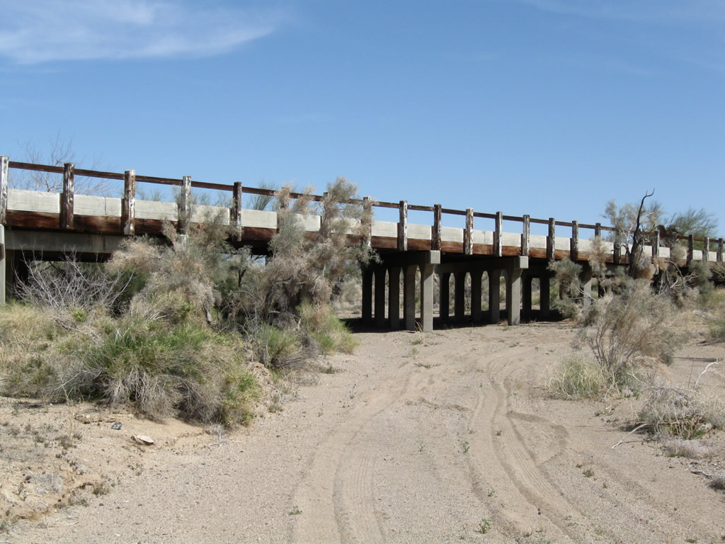
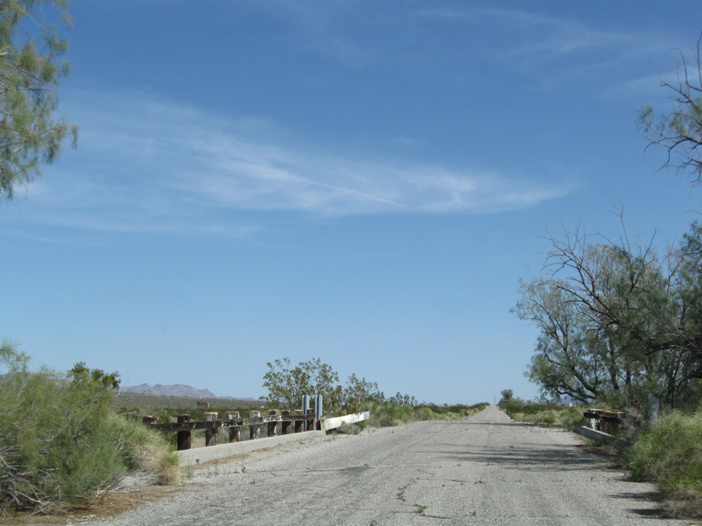
The first of several bridges crossing washes along Pinto Road is midway between Cottonwood Springs Road and the original alignment of U.S. 60/70 along Box Canyon Road.
03/14/09
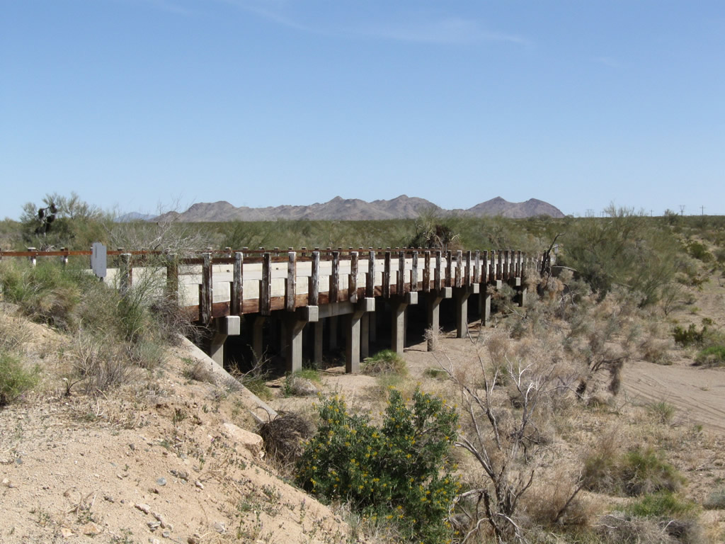
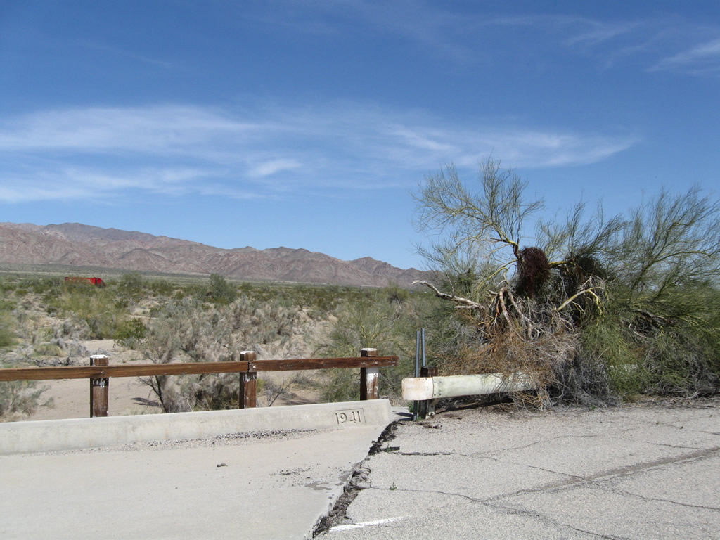
The concrete span across the wash east of Cottonwood Springs Road was date stamped in 1941.
03/14/09
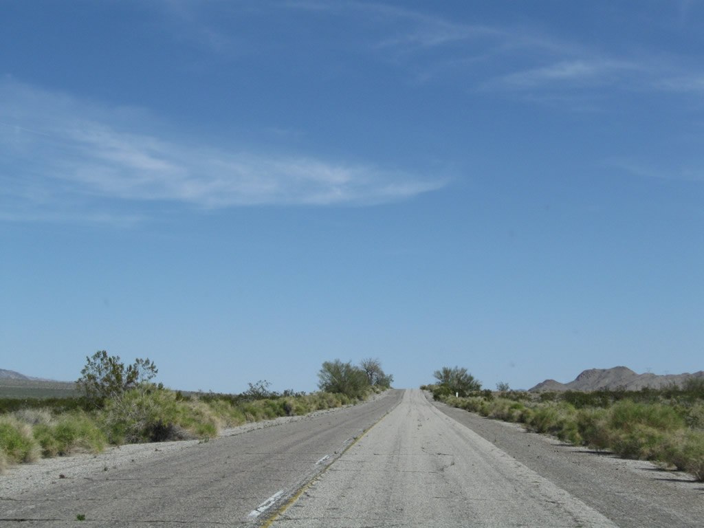
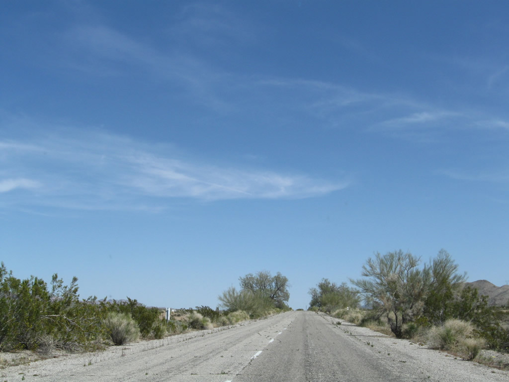
The newer alignment of U.S. 60/90 along Pinto Road continues east from the first wash to overtake the original route along Box Canyon Road.
03/14/09
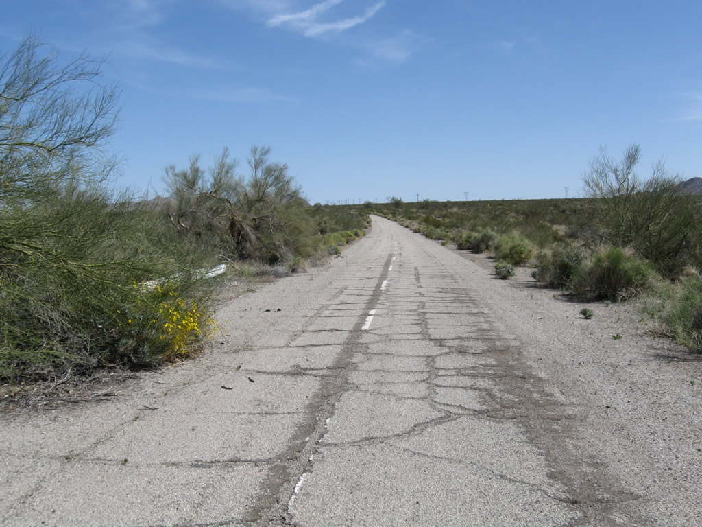
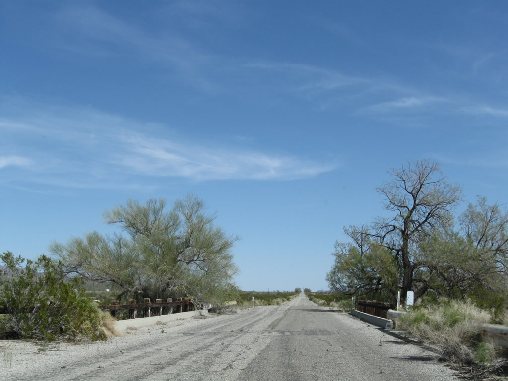
Leaving the 1941 bridge behind, the pavement along Pint Road showed original white lane striping.
03/14/09
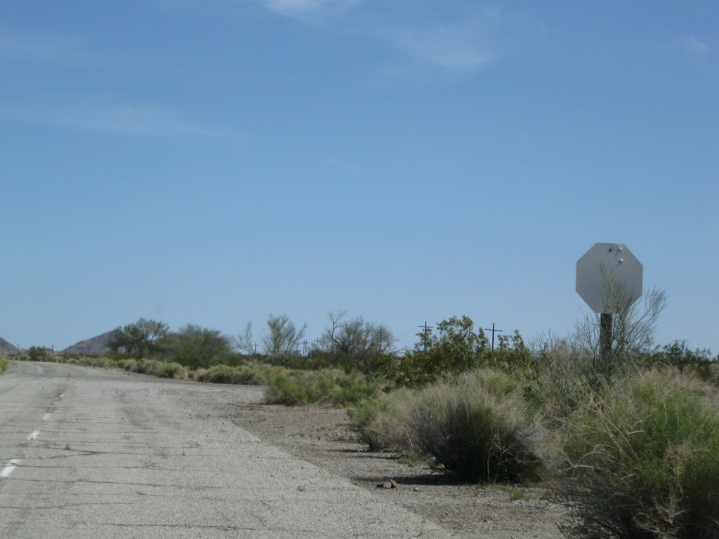
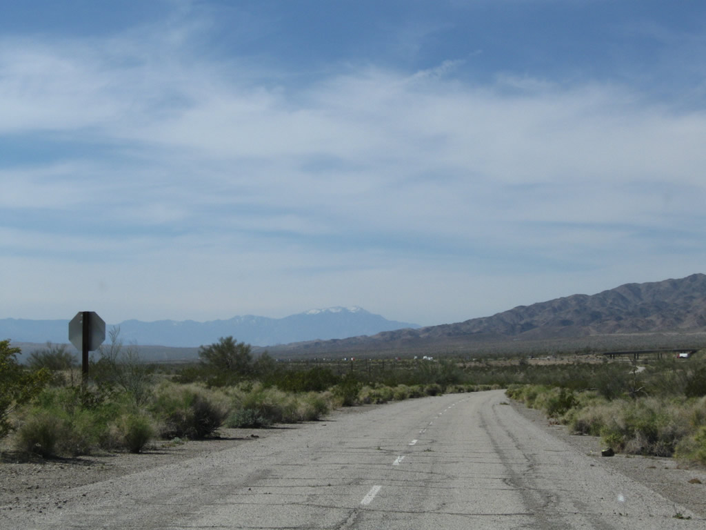
A bleached stop sign marks the intersection where Pinto Road overtakes the abandoned alignment of U.S. 60/70 along Box Canyon Road.
03/14/09
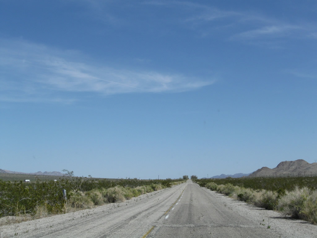
Continuing east from Box Canyon Road, old U.S. 60-70 (Pinto Road) is a bit wider since this segment was expanded in 1941.
03/14/09

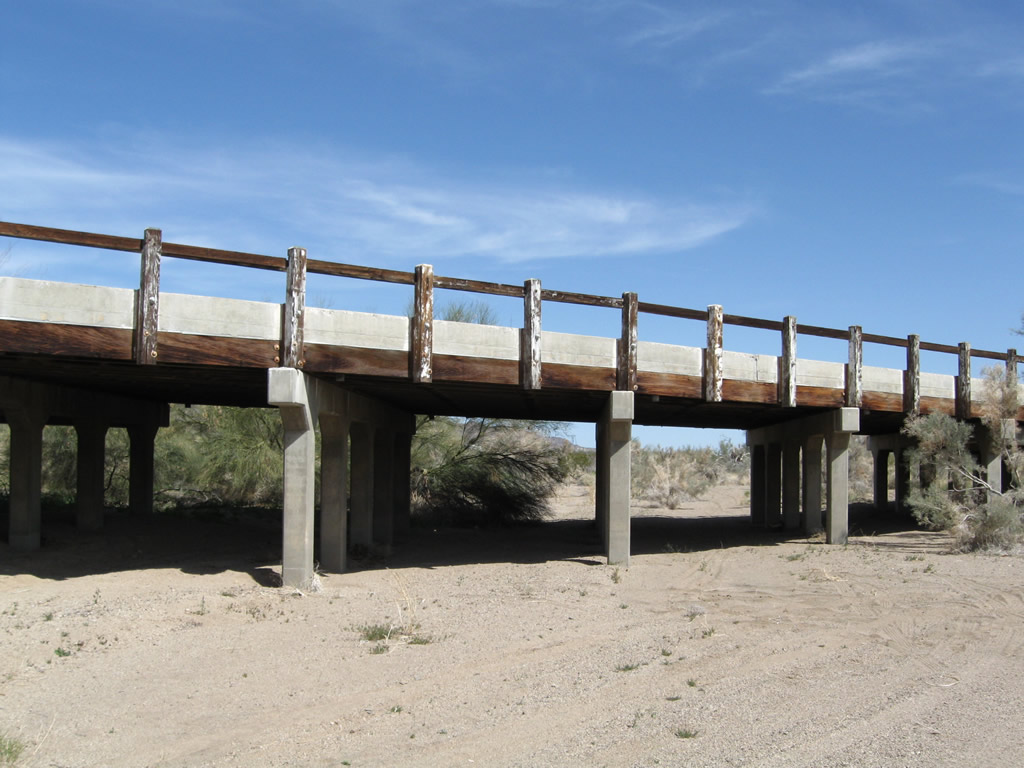
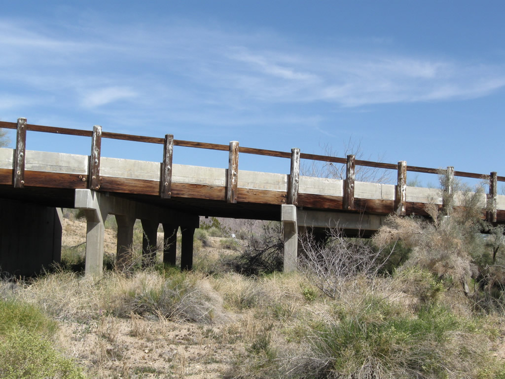
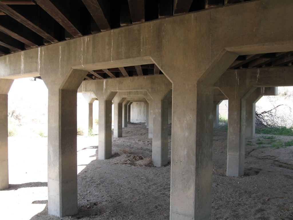
Another bridge from the same era takes Pinto Road across the second wash east of Cottonwood Springs Road. The railing for this bridge is more common to the World War II era when surplus supplies were shipped out for the war effort. Hence, old railroad tracks were used for the bridge railing rather than concrete bridge rails found on other comparable bridges.
03/14/09
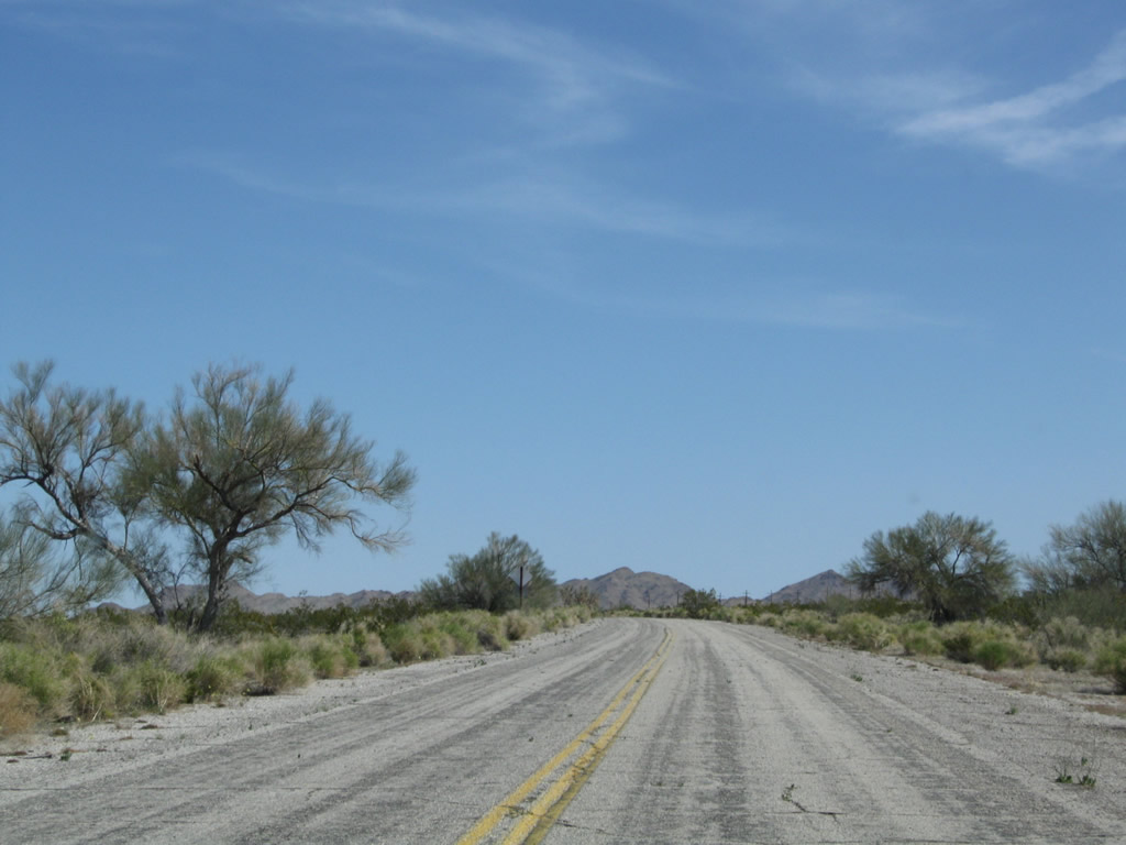
Remaining yellow and older white lane striping along Pinto Road east of the second wash bridge.
03/14/09
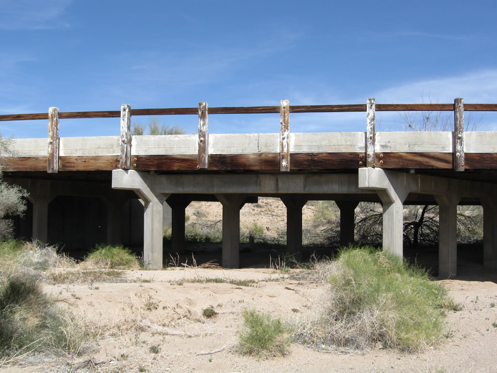
Pinto Road crossing the third wash east of Cottonwood Springs Road.
03/14/09
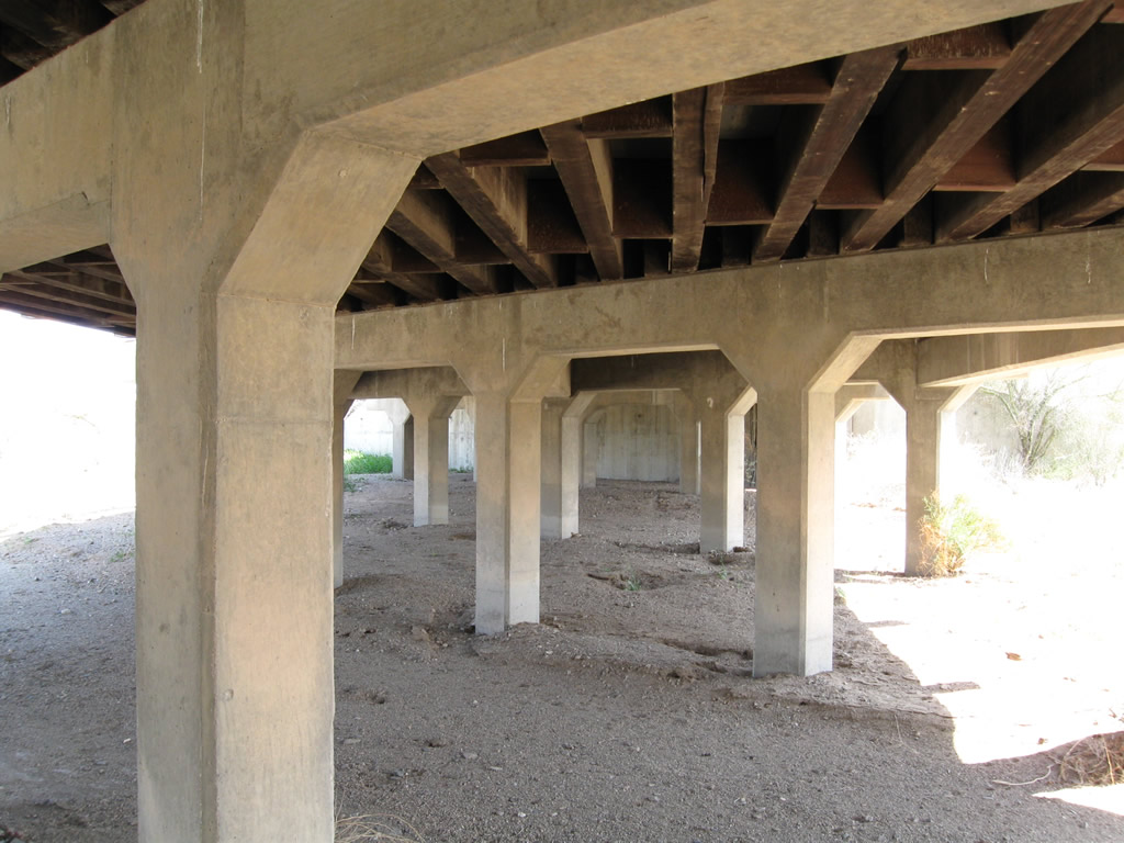
Pinto Road east at the fourth wash in Shavers Valley. Construction of this alignment in the early 1940s included bridges, unlike the older segments through Shavers Valley and Maniobra Valley that have been damaged by seasonal floodwaters.
03/14/09
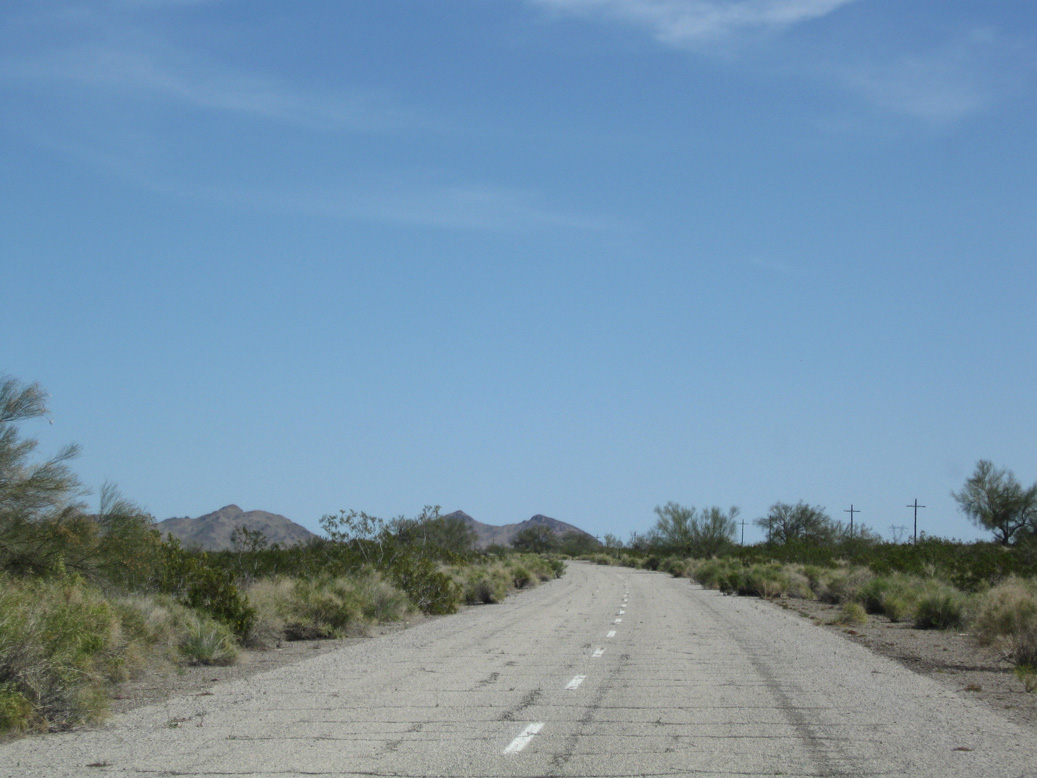
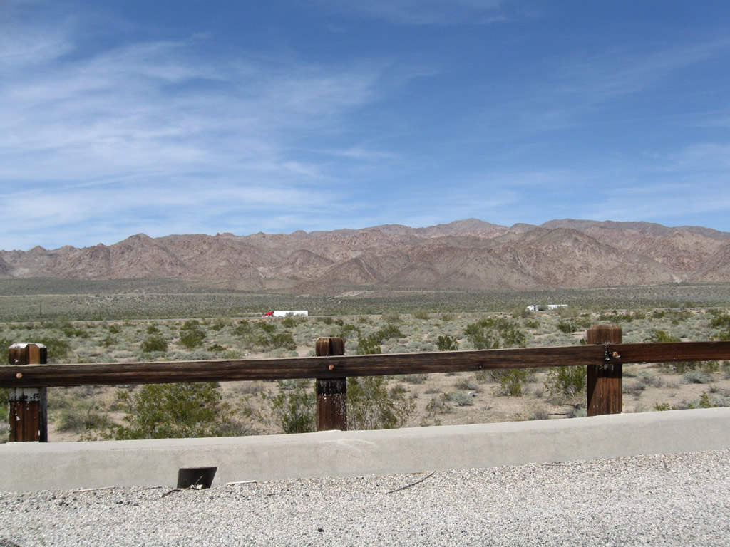
The Orocopia Mountains rise to the southeast beyond Maniobra Valley.
03/14/09
Another old bridge carries old U.S. 60-70 over the fifth seasonal wash east of Cottonwood Springs Road.
03/14/09
This view looks north through the wooden bridge railing toward the Eagle Mountains.
03/14/09
The sixth seasonal wash bridge along Pinto Road is a short distance beyond the fifth crossing.
03/14/09

Getting closer to parallel Interstate 10, Pinto Road crosses a seventh wash bridge.
03/14/09
The final bridge crosses washes from the adjacent dike system to the south is the eighth bridge along Pinto Road between Cottonwood Springs Road and Chiriaco Summit.
03/14/09
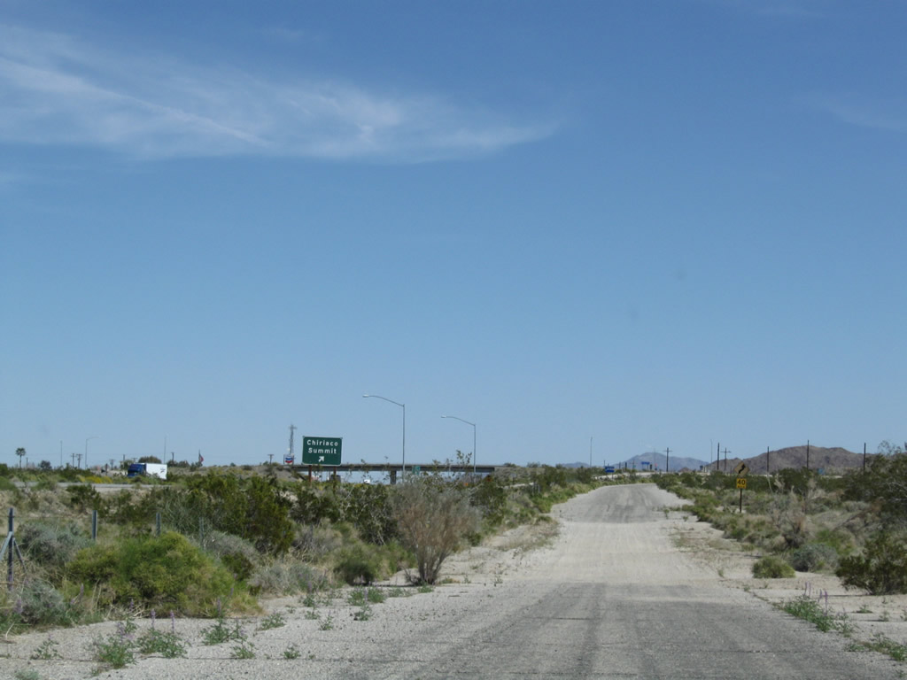
Located north of Maniobra Valley, Pinto Road east ties into Interstate 10 at Chiriaco Summit.
03/14/09

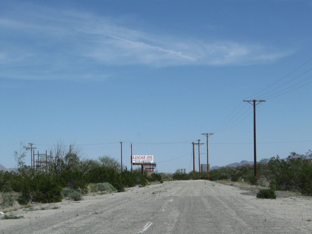
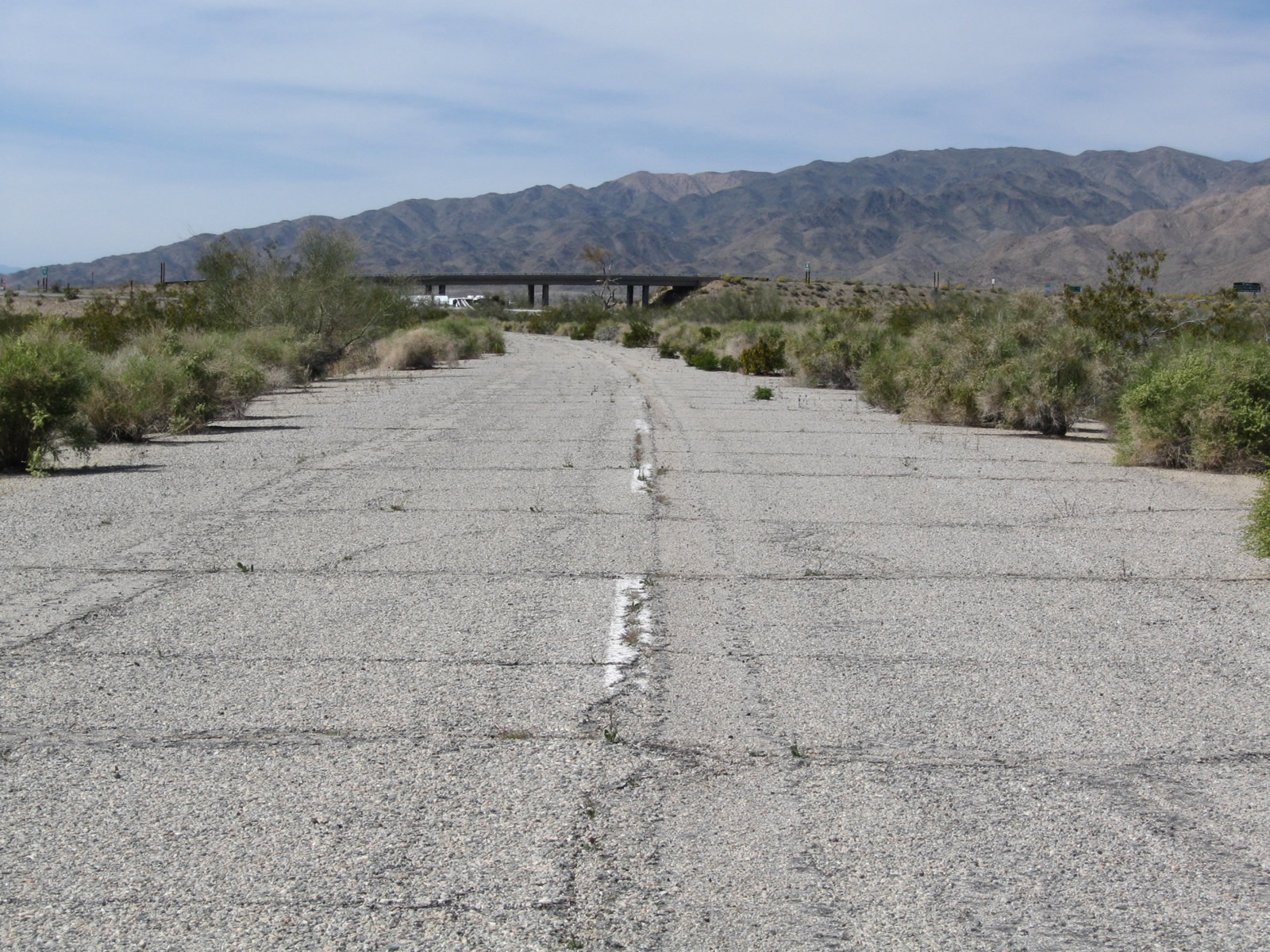
An additional section of old alignment lies north of I-10 at the east end of Chiriaco Summit. There is no traversable old alignment between Chiriaco Summit and Chuckwalla Valley.
03/14/09
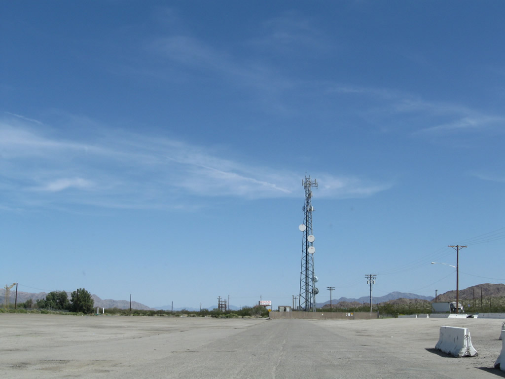
A short segment of old U.S. 60/70 remains in use along the north side of Interstate 10. Chiriaco Road extends east by a gas station and radio tower.
03/14/09
White striping remained visible along Chiriaco Road east of the radio tower. The road dead ends by a small power substation.
03/14/09
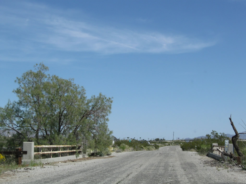
Pinto Road west where Box Canyon Road, the original alignment of U.S. 60/70, branches west to Cottonwood Springs Road.
03/14/09

Pinto Road (old U.S. 60/70) continues northwest from Box Canyon Road to Cottonwood Springs Road south of I-10.
03/14/09

The last in a series of bridges spanning washes along Pinto Road lies midway between Big Canyon Road and Cottonwood Springs Road.
03/14/09

Like other bridges along Pinto Road west from Chiriaco Summit, the span beyond Box Canyon Road was built in 1941.
03/14/09

White, wooden railing lined the bridge taking Pinto Road over the 9th wash west from Chiriaco Summit.
03/14/09
The interchange joining Interstate 10 with Cottonwood Springs Road comes into view along Pinto Road west. Pinto Road bedns southward into Cottonwood Springs Road.
03/14/09
Photo Credits:
- Andy Field: 03/14/09
Connect with:
Page Updated Friday January 21, 2011.