
Historic U.S. 60/70 - Chuckwalla Valley

Through Chuckwalla Valley, the former route of U.S. 60-70 on Chuckwalla Road remains in use for local access along between interchanges along Interstate 10 with Corn Springs Road (Exit 201) and Ford Dry Lake Road (Exit 217). This long, two-lane stretch parallels the freeway to the south and offers a traffic-free route through the northern Colorado (Sonora) Desert.
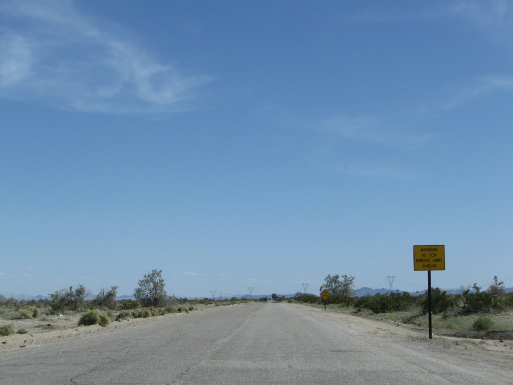
The old alignment of U.S. 60/70 on Chuckwalla Road initially travels southeast from Interstate 10 by Exit 201.
03/14/09
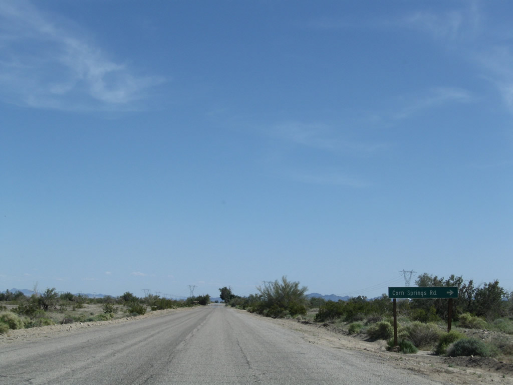
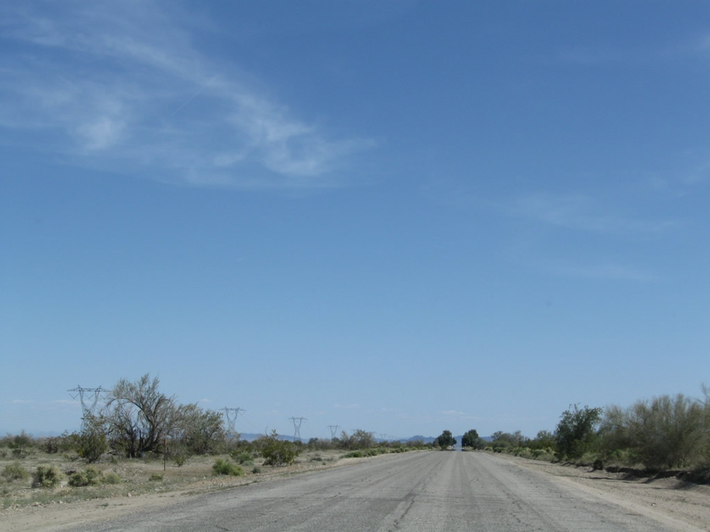
Eastbound Historic U.S. 60-70 (Chuckwalla Road) approaches Corn Springs Road southwest to Corn Spring and Aztec Well.
03/14/09
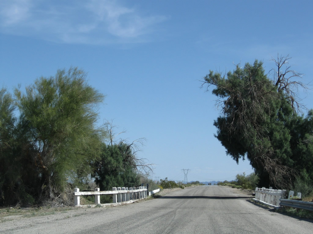
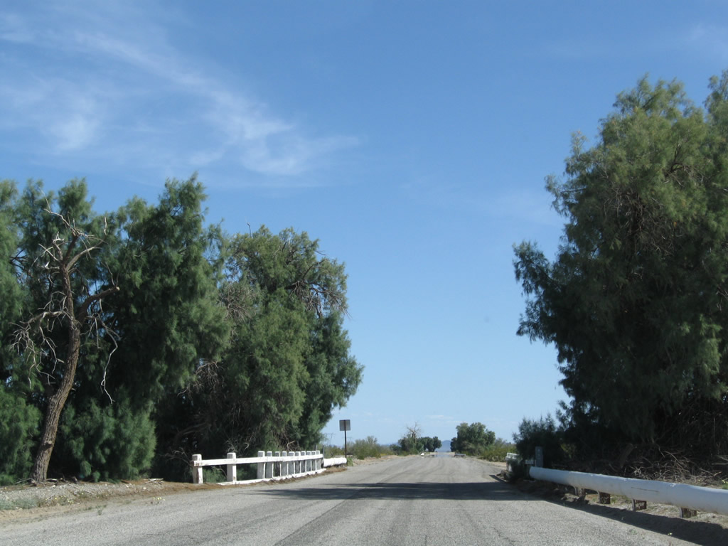
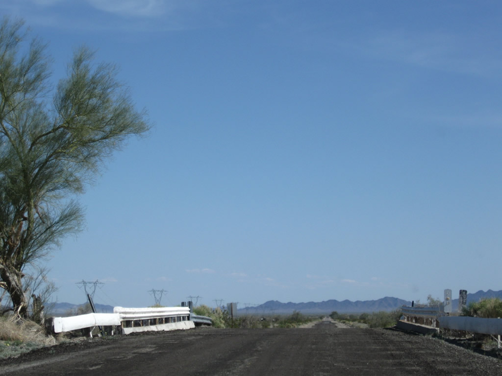
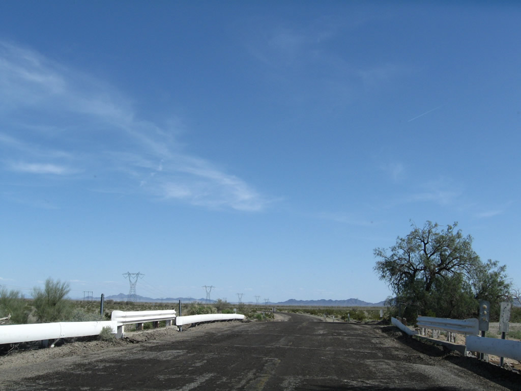
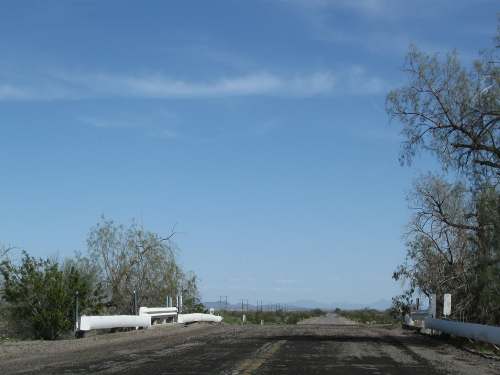
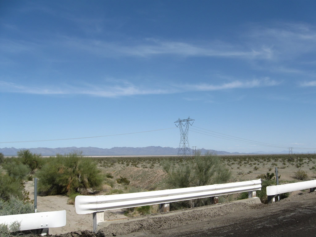
Along Chuckwalla Road, former U.S. 60-70 have several bridges such as this one to direct seasonal floodwaters under the road. Some old white metal guardrail lines the north side of the old route beyond the bridge.
03/14/09
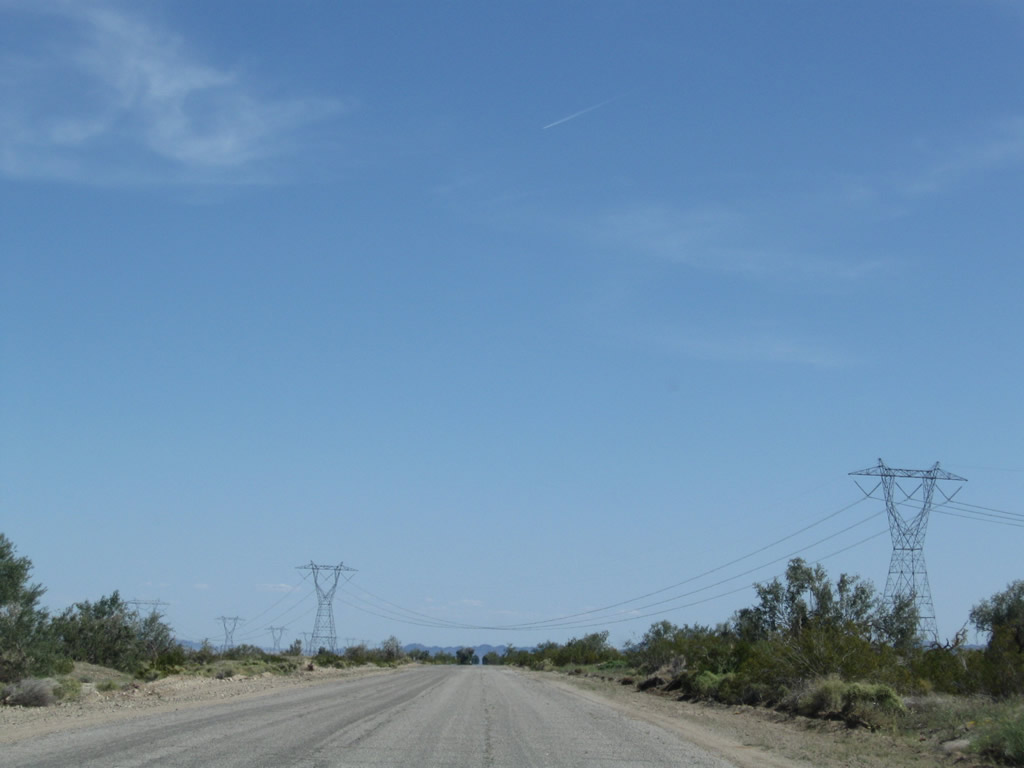
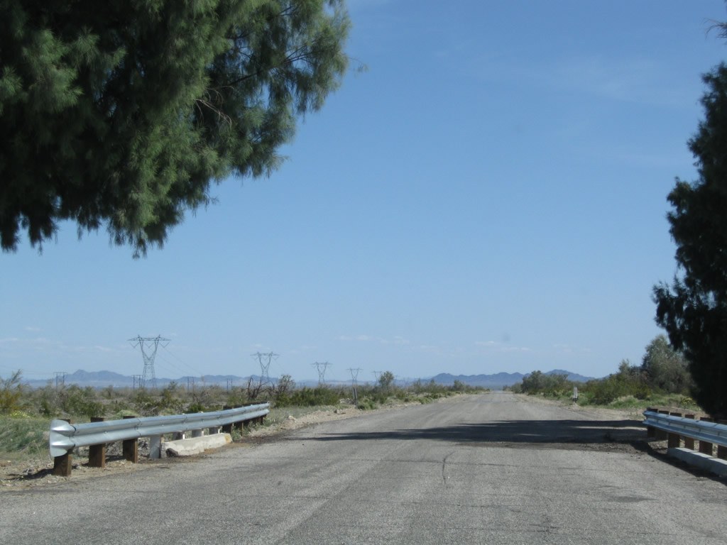
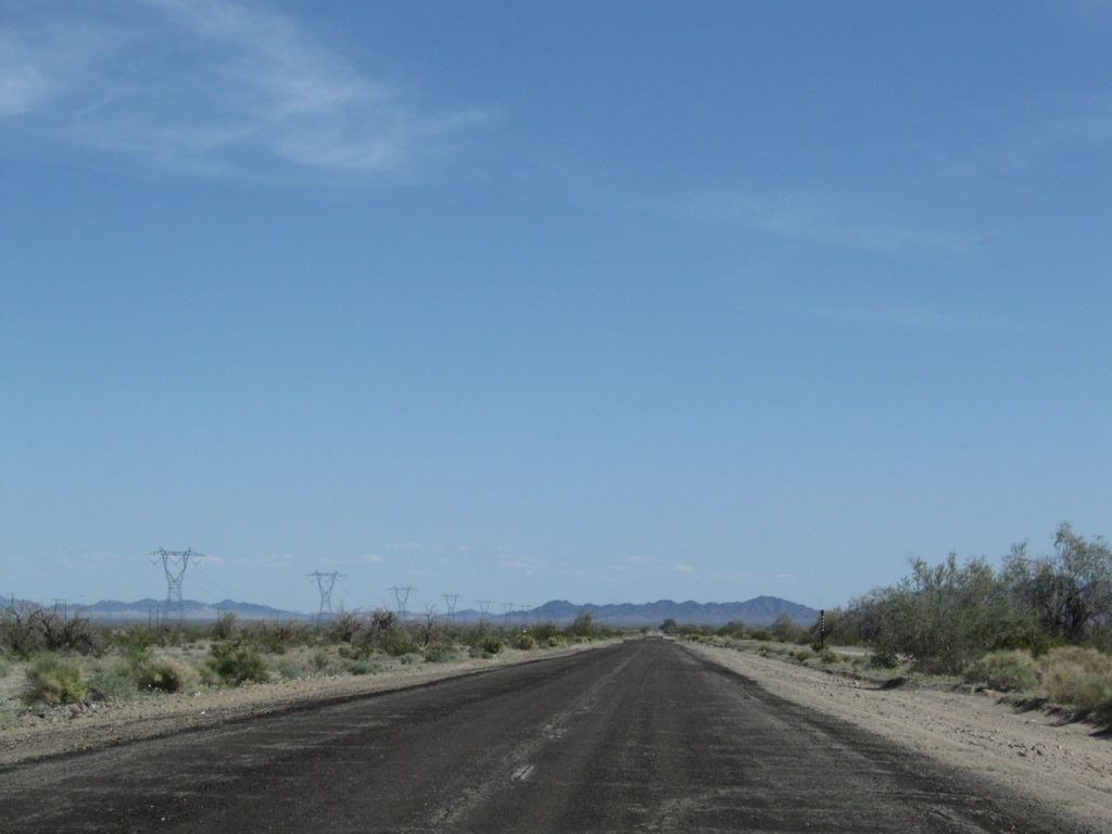
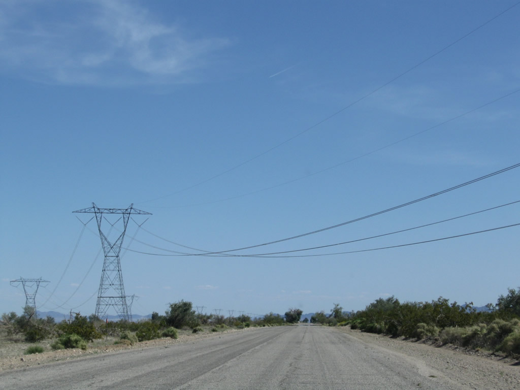
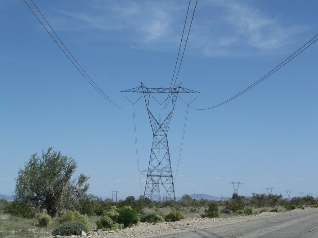
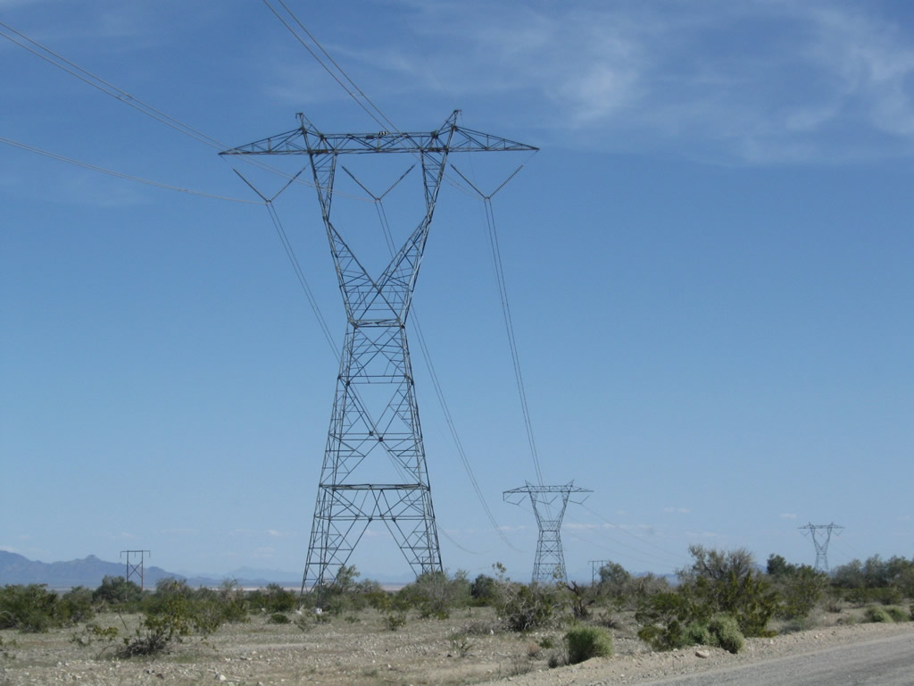
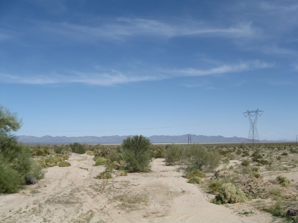
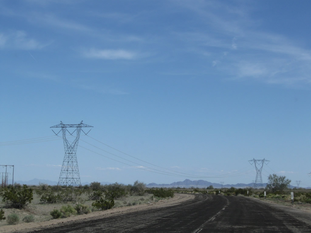
Power lines spanning old U.S. 60-70 are the Devers-Palo Verde 500kV lines that connect a nuclear power plant in Arizona with a substation near Palm Springs. It is owned and operated by Southern California Edison.
03/14/09
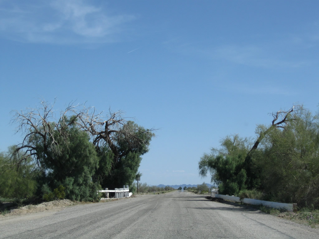
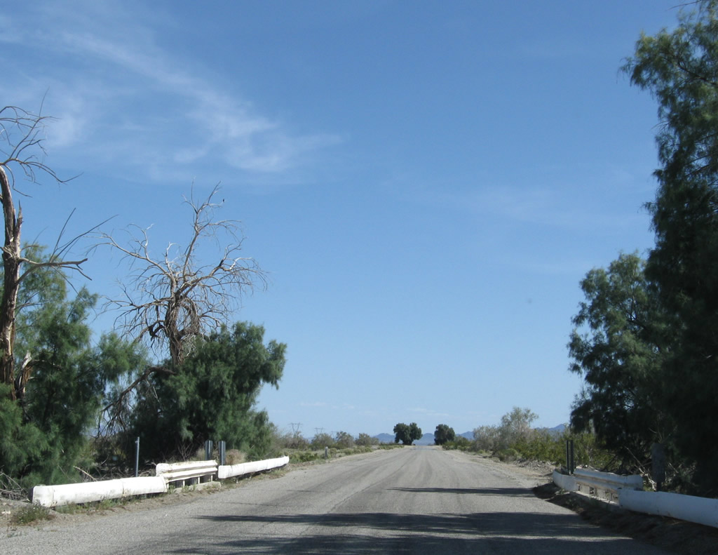
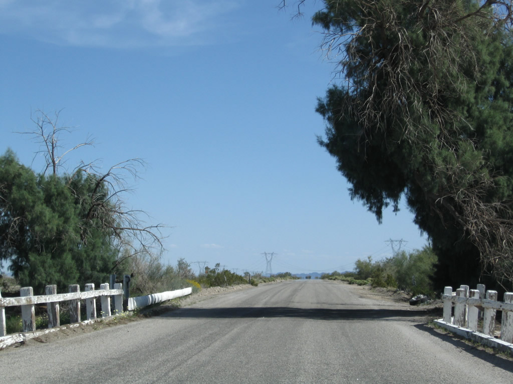
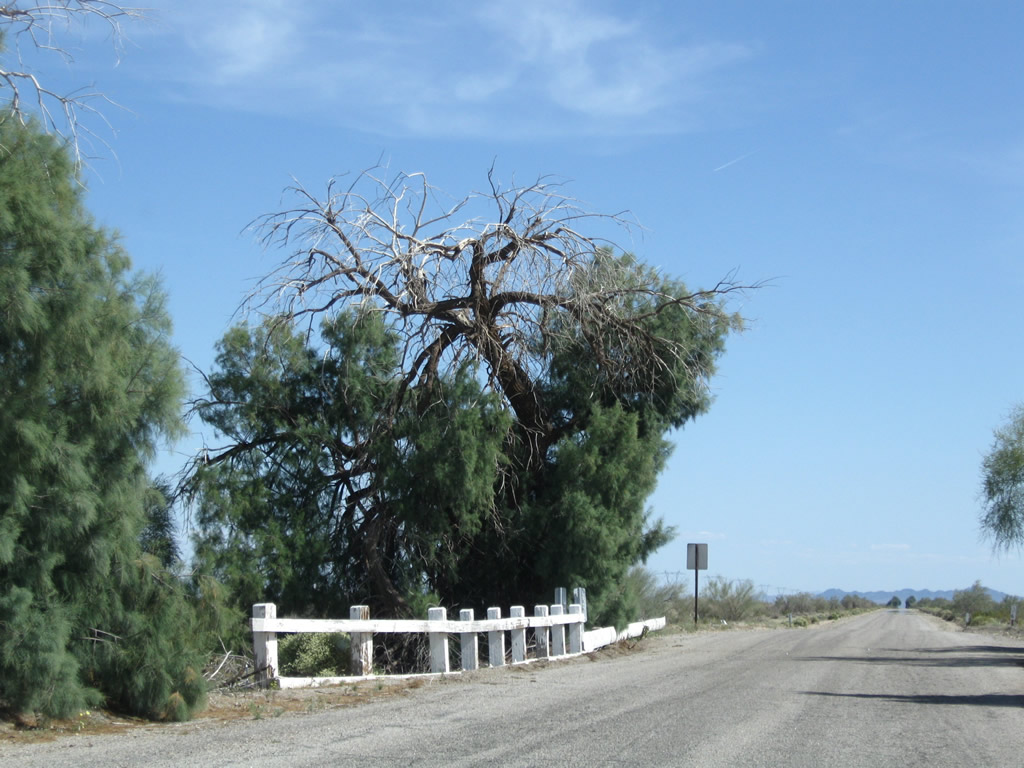
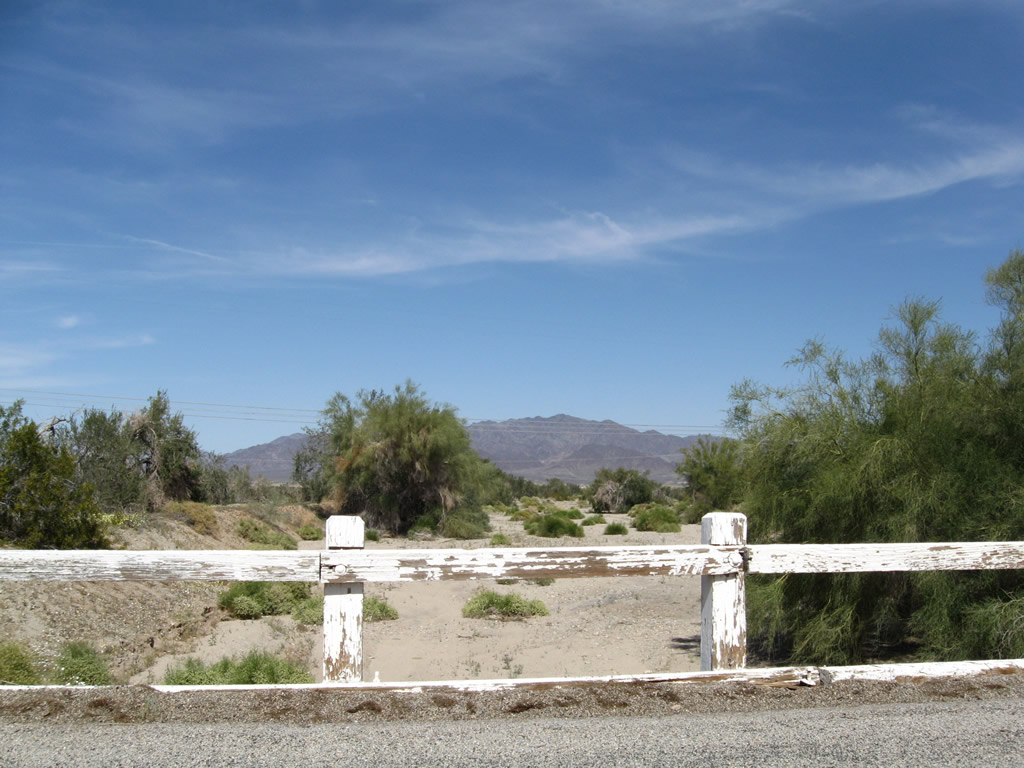
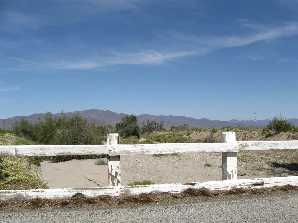
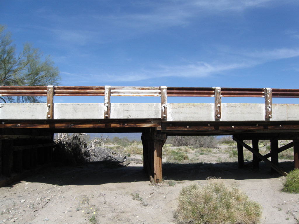
Old U.S. 60-70 crosses a second seasonal wash east of Corn Springs Road. The old bridge retains wooden railing.
03/14/09
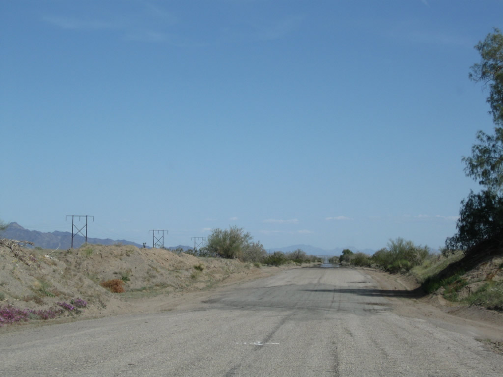
Since this is the best chance for water, clusters of trees grow by the wash. This wash is 1.1 miles east of the Chuckwalla Road dead end.
03/14/09
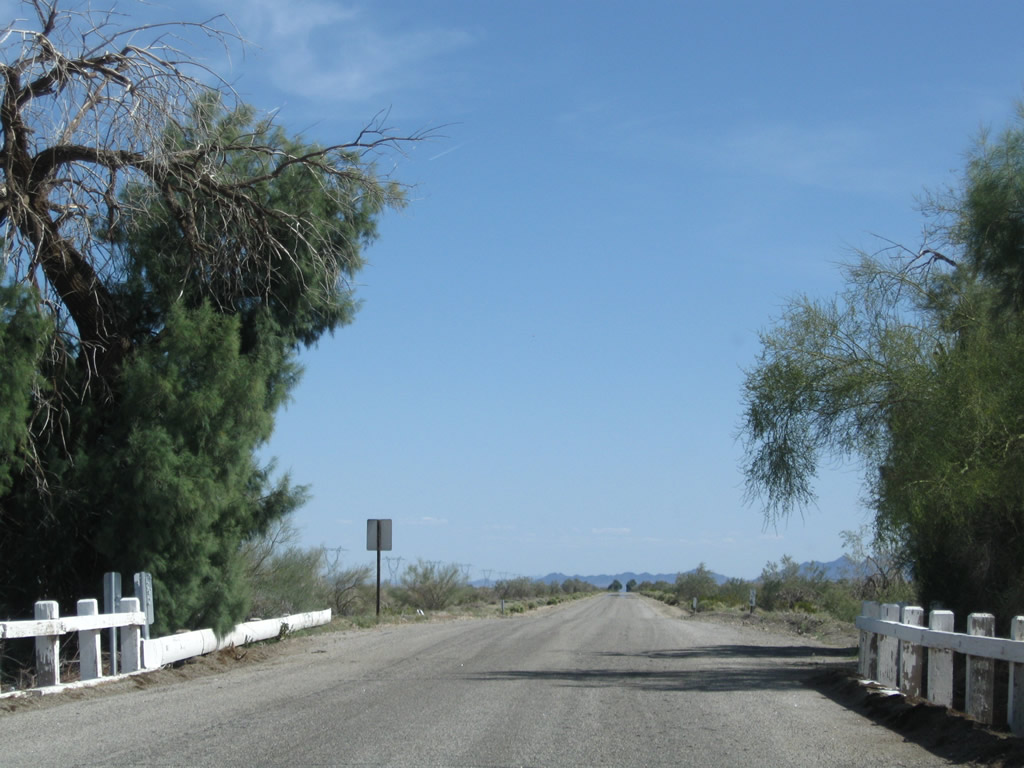
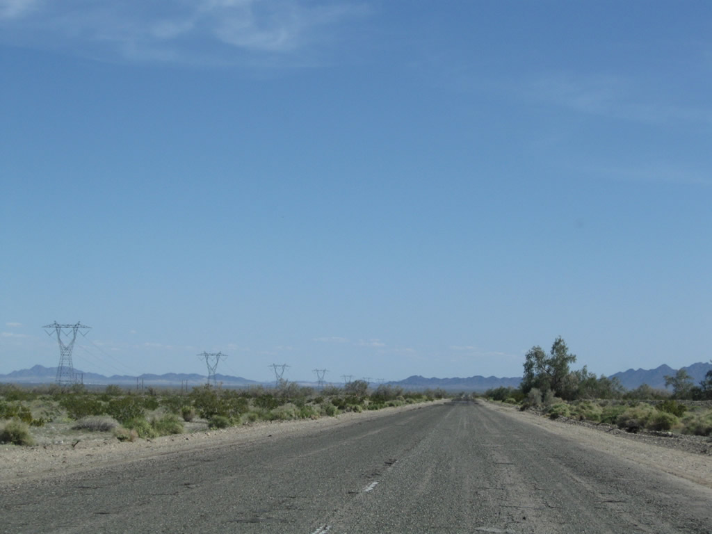
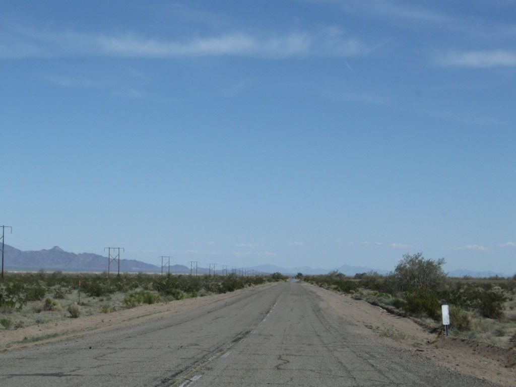
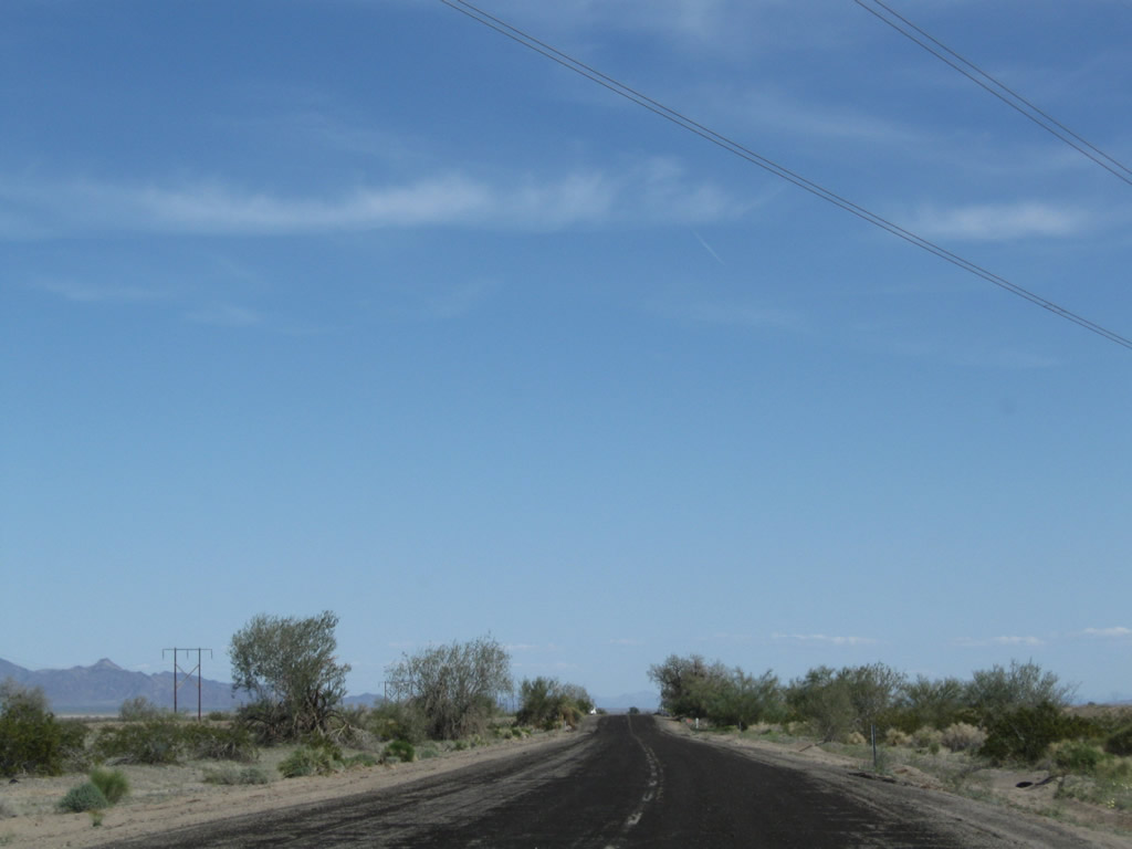
The linear stretch of Chuckwalla Road continues southeast through Chuckwalla Valley.
03/14/09
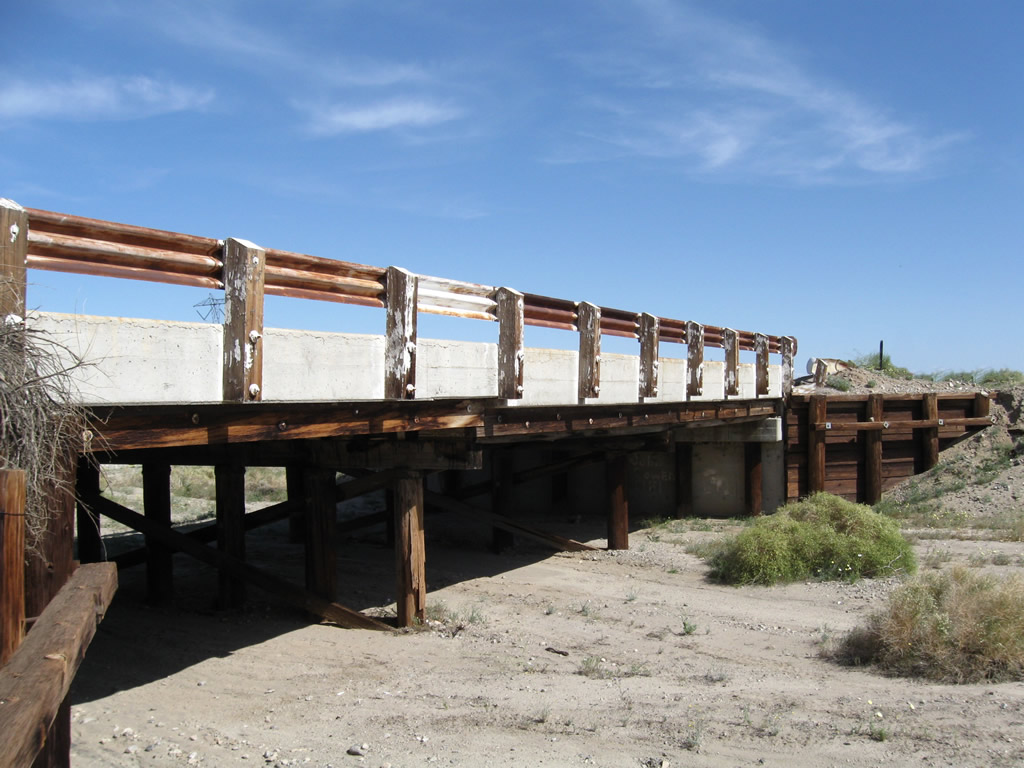
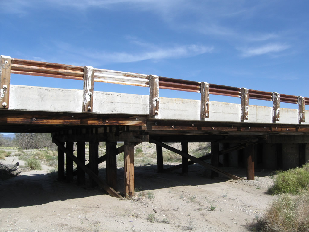
Historic U.S. 60-70 east along Chuckwalla Road crosses a third wash bridge with white wooden railing.
03/14/09
The fourth wash bridge on Chuckwalla Road features white painted metal guardrail rather than wooden bridge railing.
03/14/09
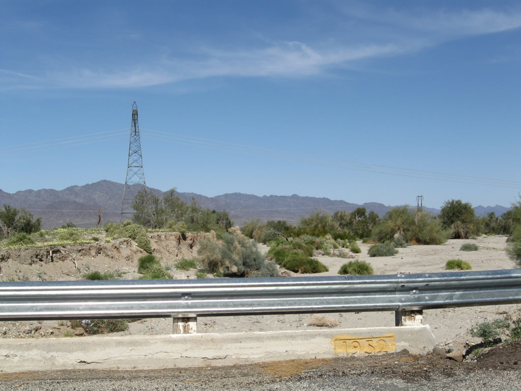
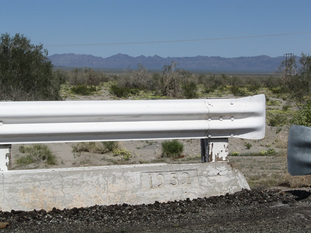
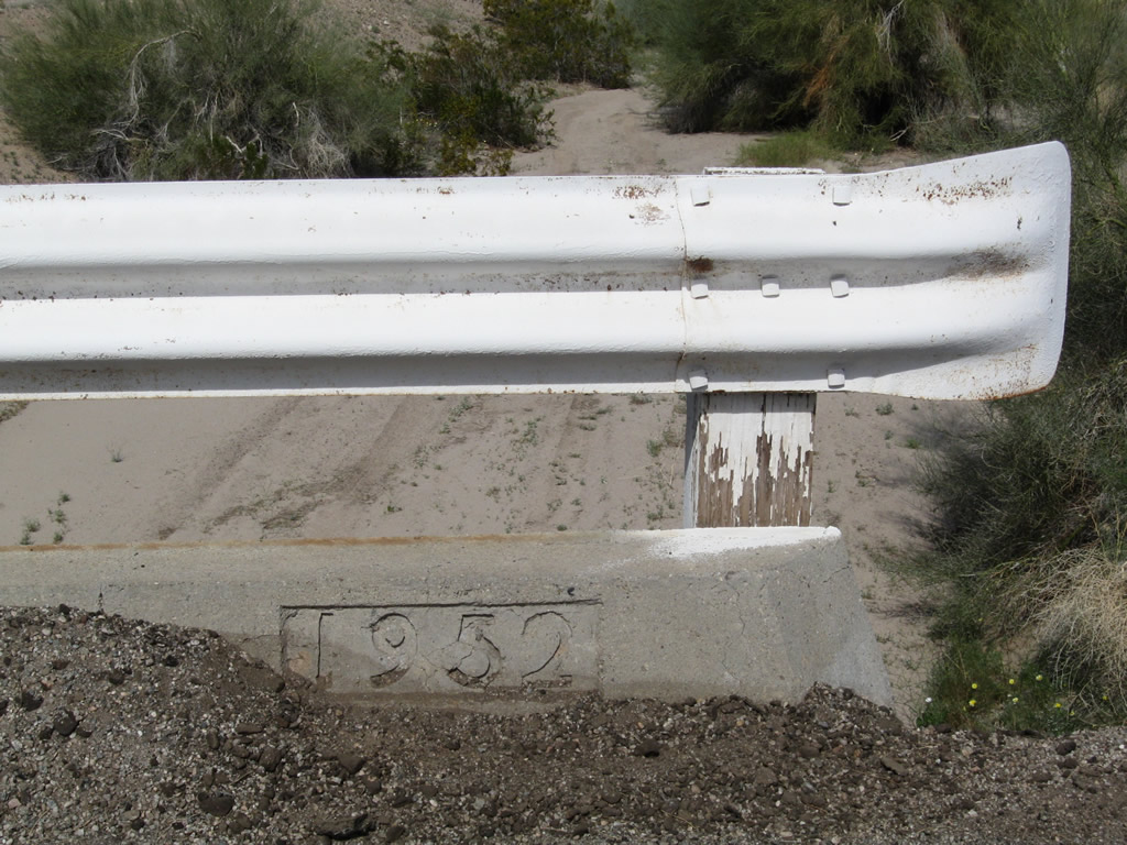
The fifth bridge on Historic U.S. 60-70 (Chuckwalla Road) east includes a 1952 date stamp.
03/14/09
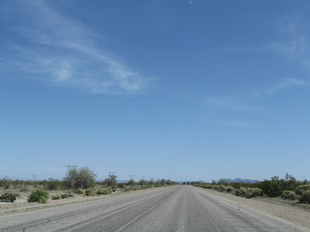
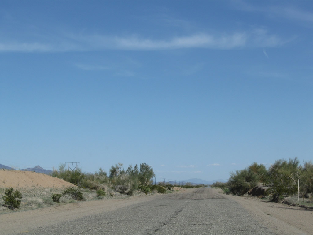
Chuckwalla Road continues east in a straight line.
03/14/09
The sixth wash bridge along Chuckwalla Road was also built in 1952.
03/14/09
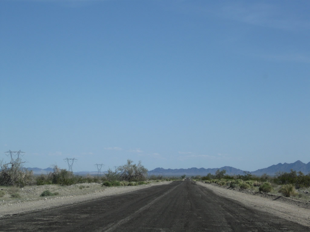
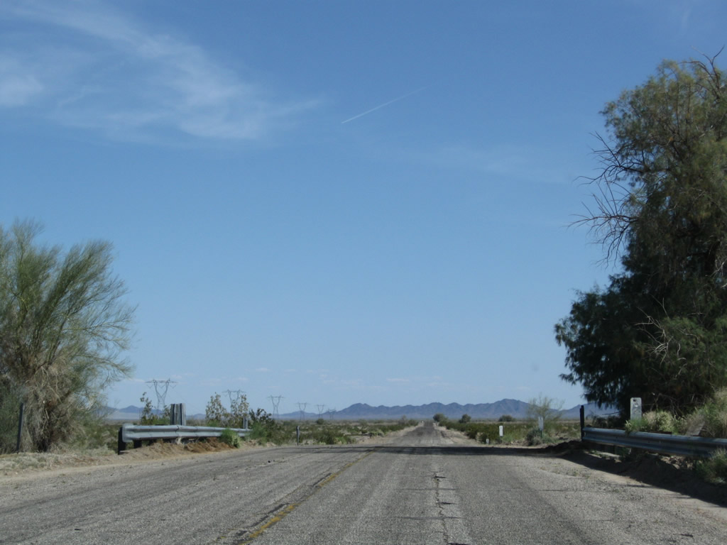
The Little Chuckwalla Mountains line the southern horizon.
03/14/09
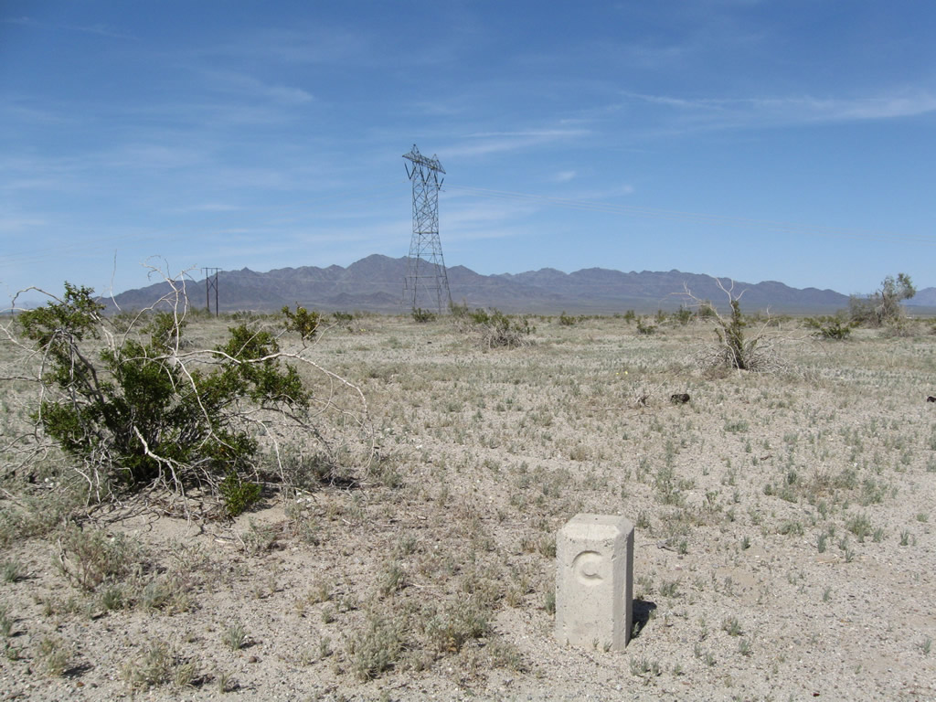
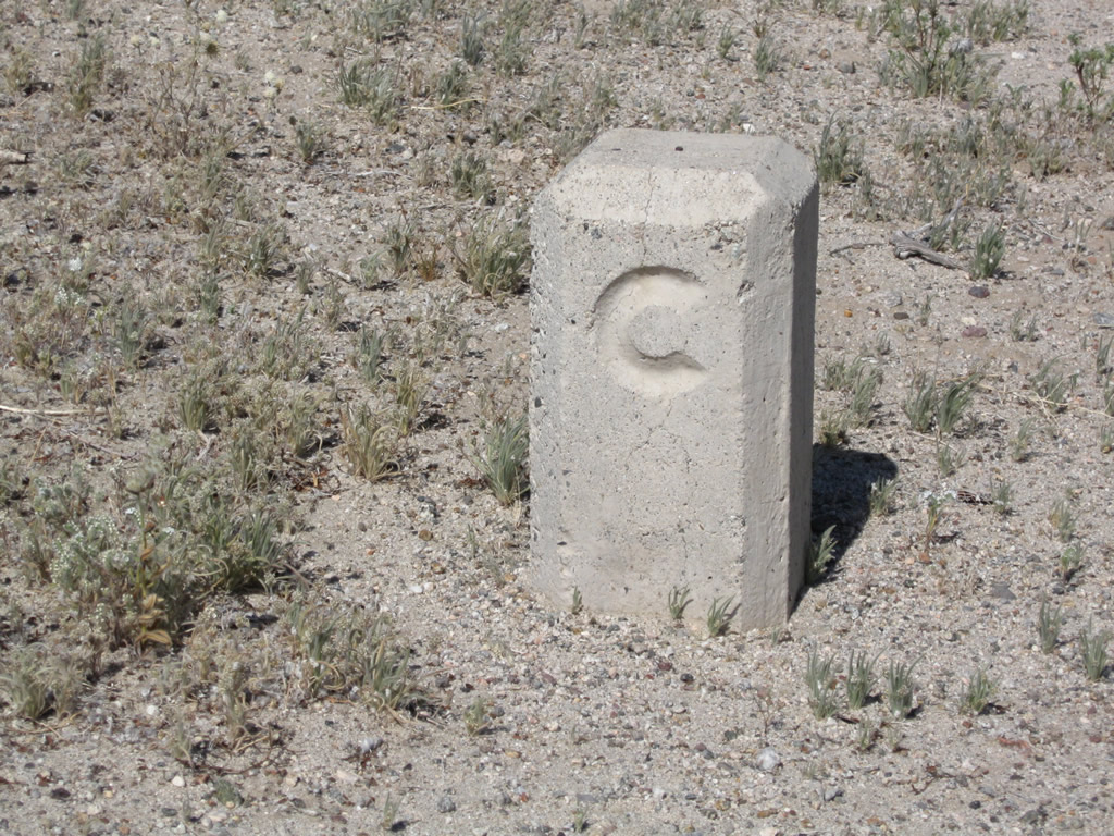
A remaining C Block alongside Chuckwalla Road.
03/14/09
Historic U.S. 60-70 east crosses a seventh wash.
03/14/09
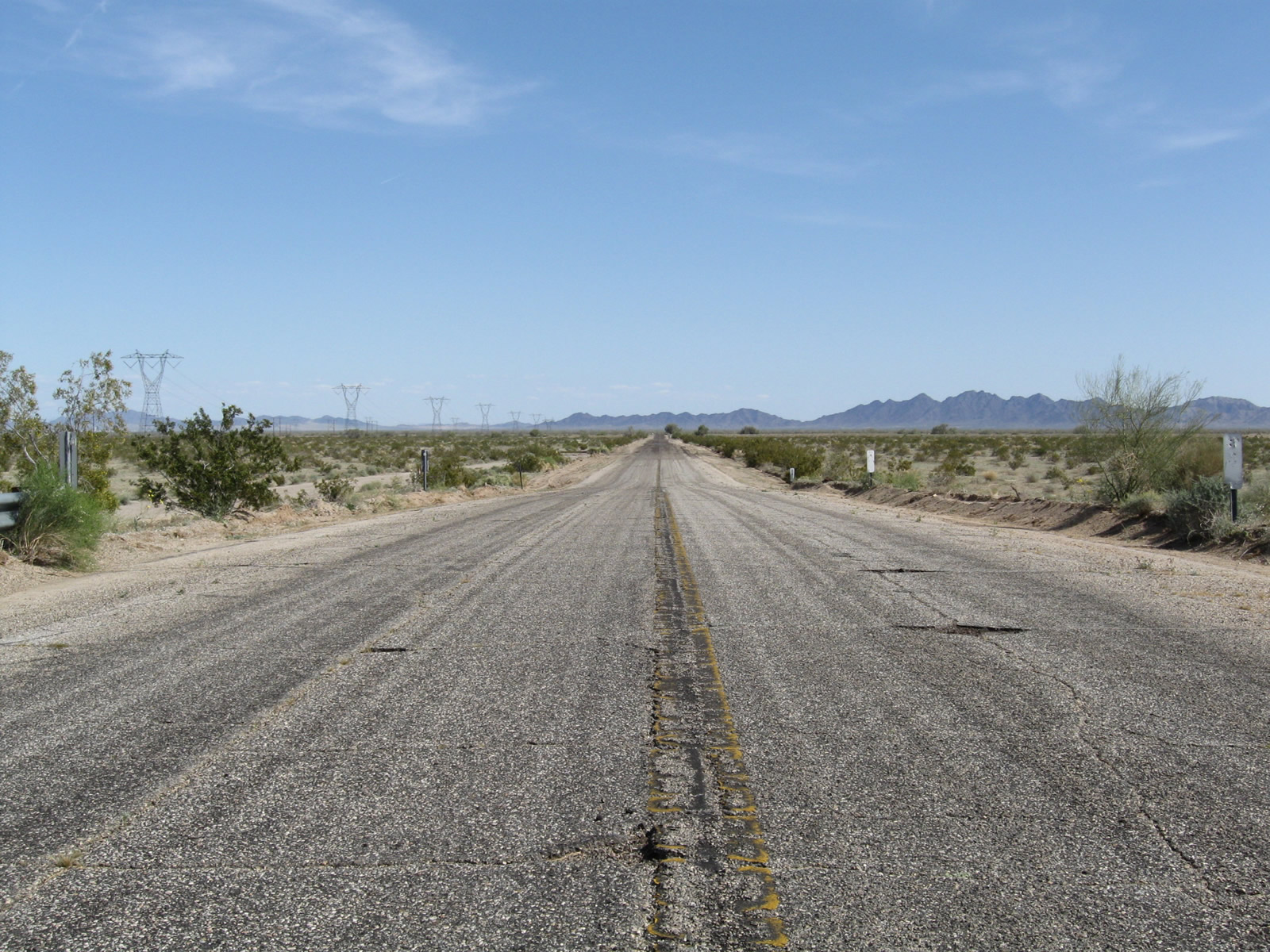
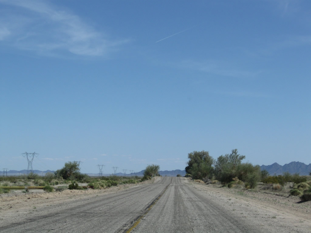
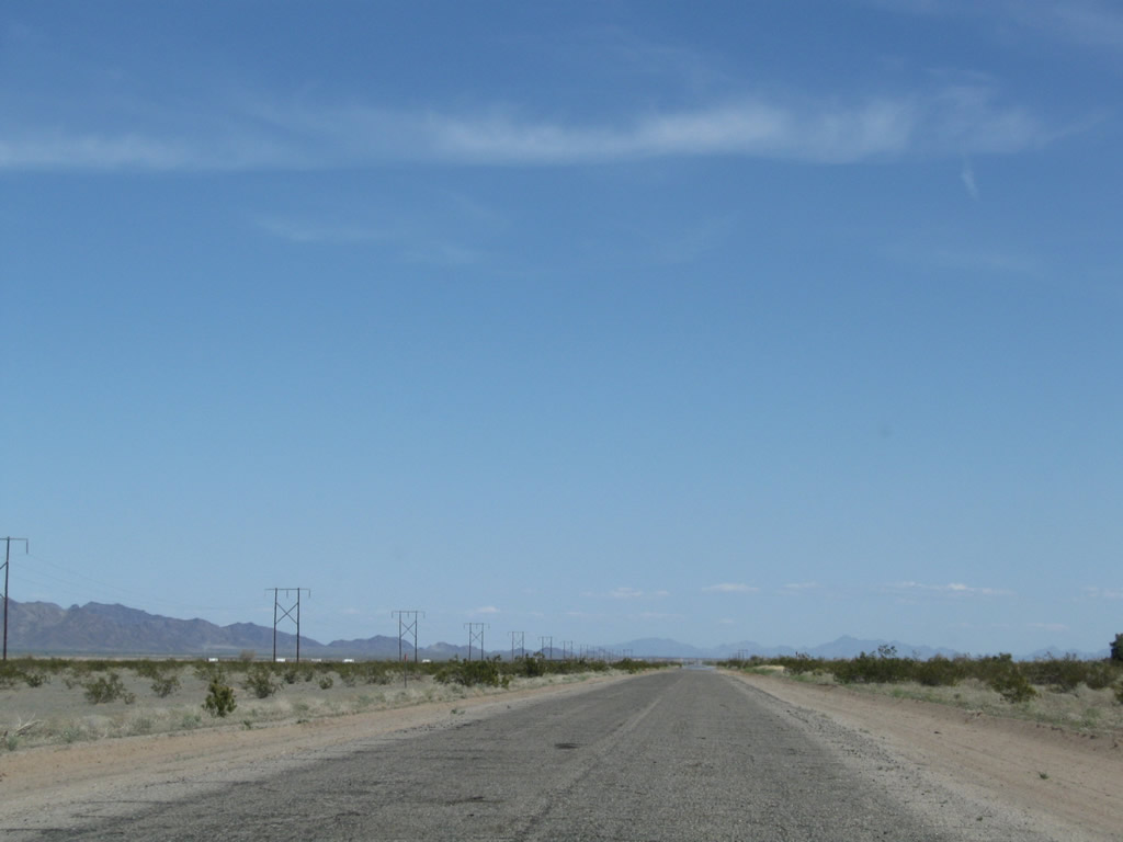
Almost all through traffic uses Interstate 10 through Chuckwalla Valley, leaving empty pavement along Historic U.S 60/70.
03/14/09
Chuckwalla Road spans an eighth wash ahead of the eastern turn back toward Interstate 10.
03/14/09
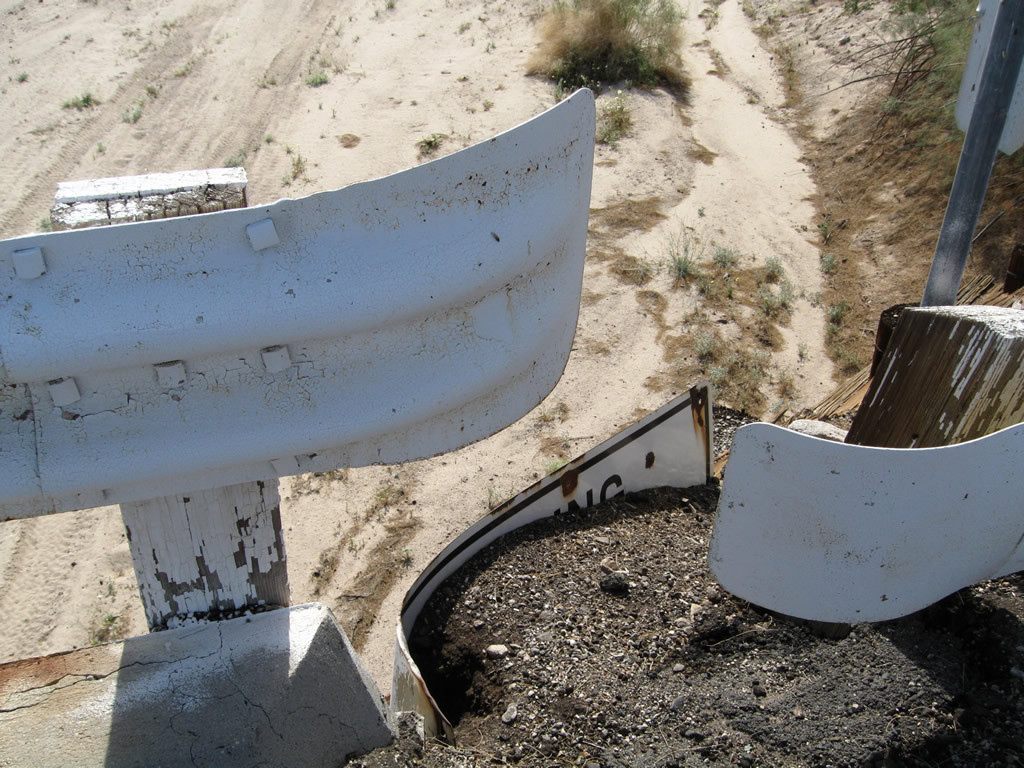
For some bridges along former U.S. 60-70 in the Chuckwalla Valley, old porcelain enamel signs help support the bridge abutments. These recycled signs are impossible to remove as they are firmly embedded into the bridge.
03/14/09
Historic U.S. 60-70 (Chuckwalla Road) turns east toward Hopkins Well and again passes under the 500kV Southern California Edison power lines.
03/14/09
Chuckwalla Road spans the ninth wash east from Corn Springs Road.
03/14/09
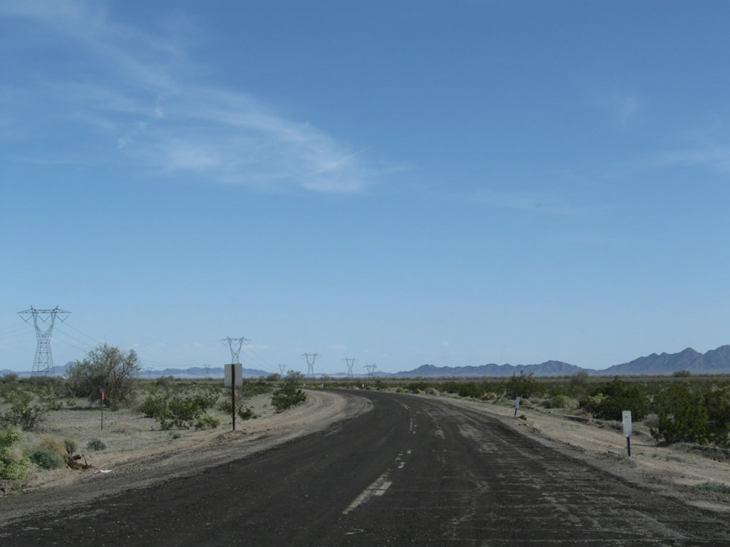
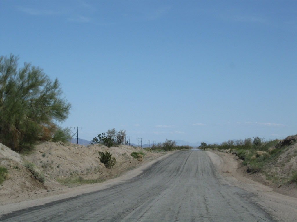
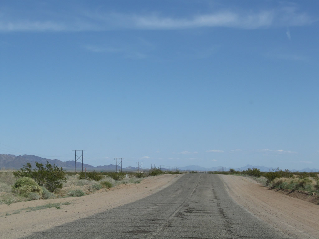
Historic U.S. 60-70 continues to pass through the flat valley with occasional dips and rises for washes. Note that some dips could be flooded during rain events.
03/14/09
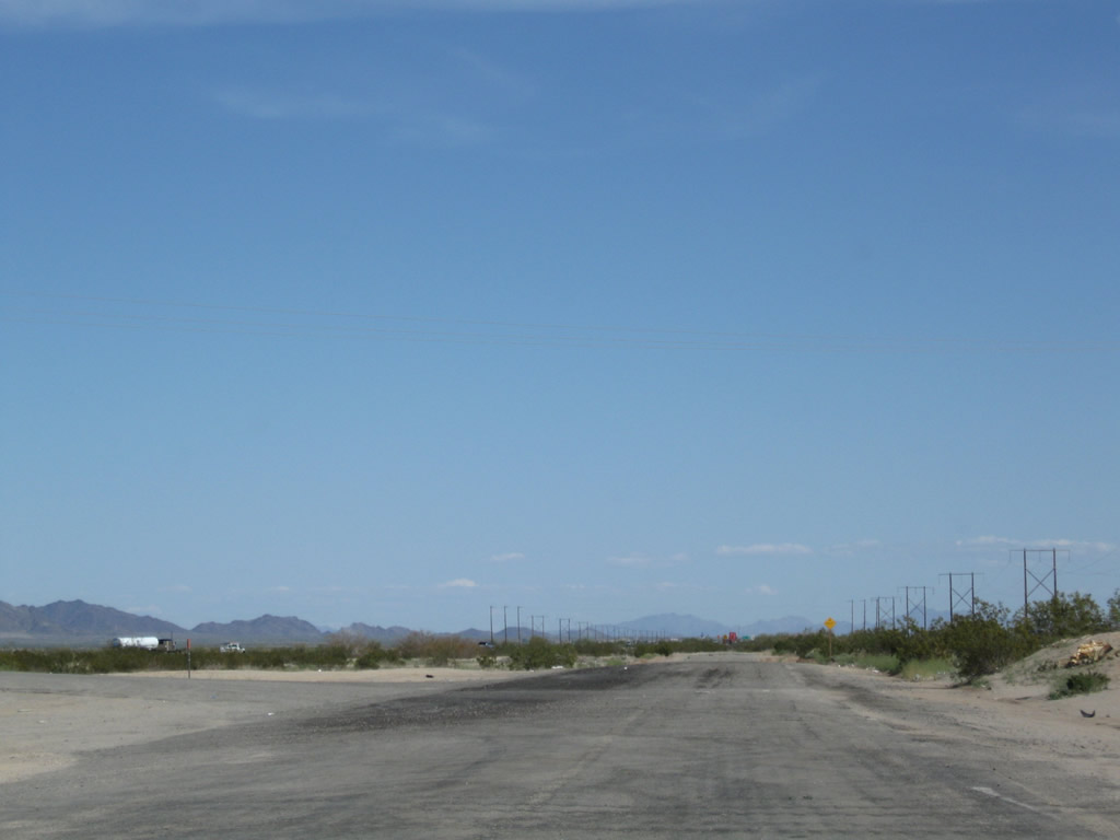
The old alignment of U.S. 60/70 dead ends beyond the access road to Interstate 10 at Exit 217. The next extant section of old U.S. 60-70 does not reemerge from the freeway ntil east of Wiley's Well.
03/14/09
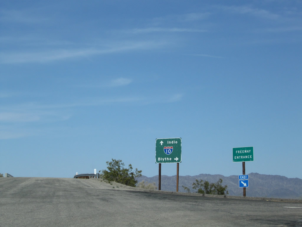
Eastbound Historic U.S. 60-70 (Chuckwalla Road) reconnects with Interstate 10 at the Ford Dry Lake interchange.
03/14/09
Photo Credits:
- Andy Field: 03/14/09
Connect with:
Page Updated Friday January 21, 2011.