
U.S. 60 East - Show Low to State Route 61

 East
East  North
North
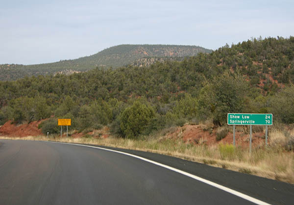
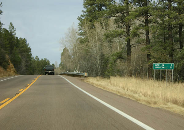
Distance sign to Show Low and Springerville.
11/11/06
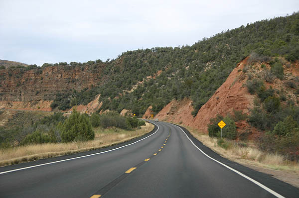
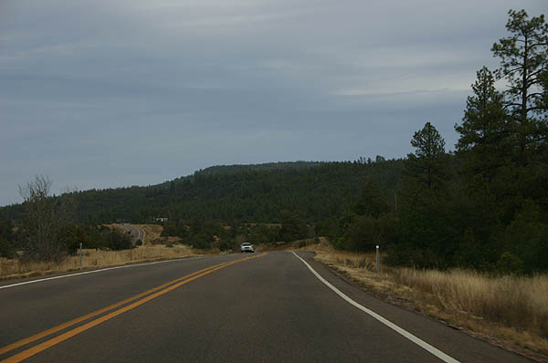
US 60 passes through Corduroy Creek canyon on the way up to Show Low. Corduroy creek, according to Barnes, is named because the creek next to the road was "corduroyed" (covered) with logs in 1880.1
11/11/06
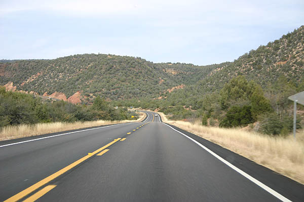
Corduroy Creek canyon widens out to a wide valley above the canyon. US 60 passes through the wide valley.
11/11/06
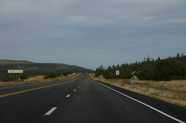
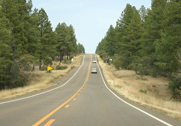
As US 60 climbs above the 6000 foot level, tall pine trees start appearing.
11/11/06
US 60 enters Skiddy Canyon, which contains Forestdale Creek, as it makes the final climb up to Show Low.
11/11/06
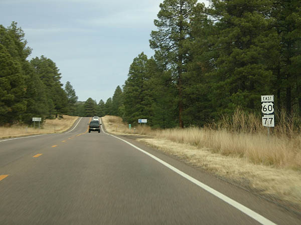
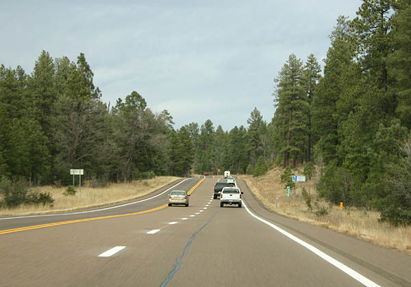
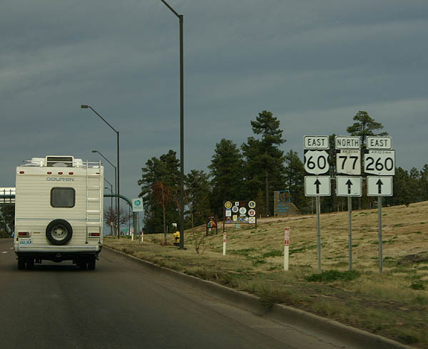
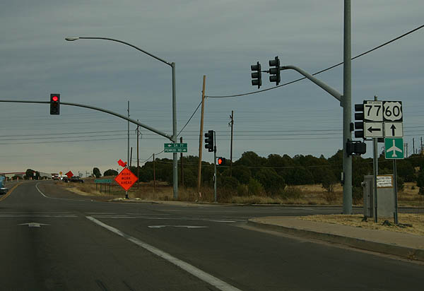
US 60 and SR 77 continue to be multiplexed all the way to Show Low.
11/11/06
Yet another distance sign to Show Low and Springerville.
11/11/06
Sometimes, it is hard to believe that scenes like this can be found in Arizona.
11/11/06

US 60 leaves the Fort Apache Indian Reservation, and crosses the Mogollon Rim here. At this point, we are 6594 feet above sea level.
11/11/06
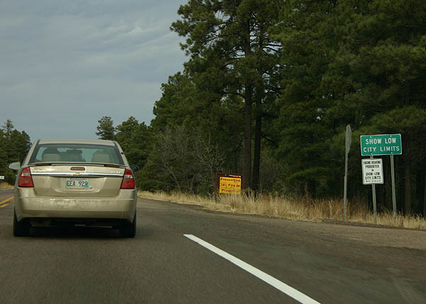
US 60 enters the city limits of Show Low just after crossing the Mogollon Rim. Show Low is one of the major cities of northeastern Arizona, and was named from a game of Seven-Up. The quote is "If you can show low, you can win" to which the winner put down the cards and said "Showlow it is"2.
11/11/06
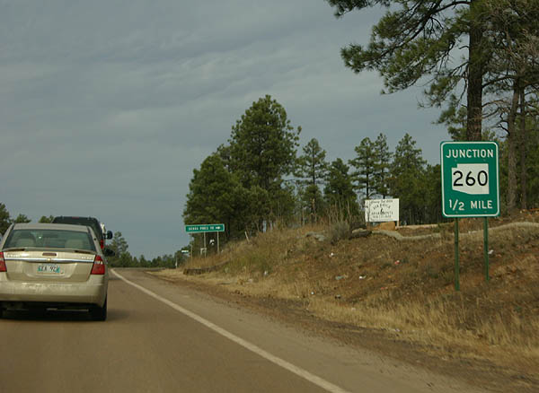
As US 60 descends through Fools Hollow, the road approaches SR 260.
11/11/06
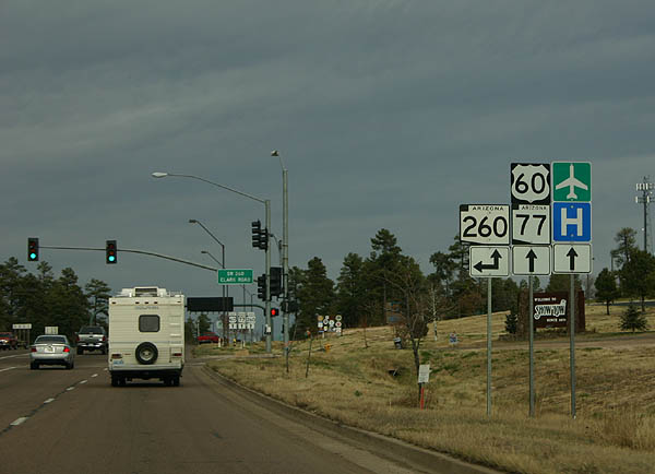
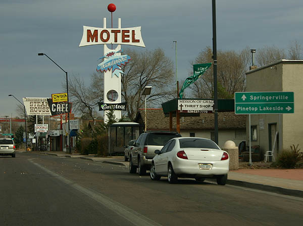
US 60 is named "Deuce of Clubs Avenue" through Show Low. At this point, US 60 meets SR 260, which will be multiplexed with US 60 through Show Low.
11/11/06
Deuce of Clubs Avenue is the main street of Show Low, the commercial center of the White Mountains.
11/11/06
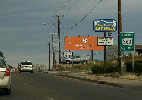
The multiplex with SR 260 ends fairly quickly, as SR 260 will split east to follow the Mogollon Rim to US 191.
11/11/06
Continue ahead on US 60 to Springerville, or turn right on SR 260 to Pinetop and Lakeside, at the upcoming intersection with SR 260.
11/11/06
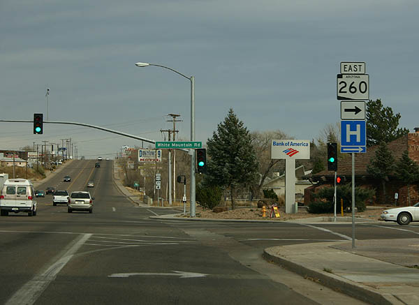
SR 260 departs here, to head south to Pinetop, Lakeside, and Hon Dah.
11/11/06
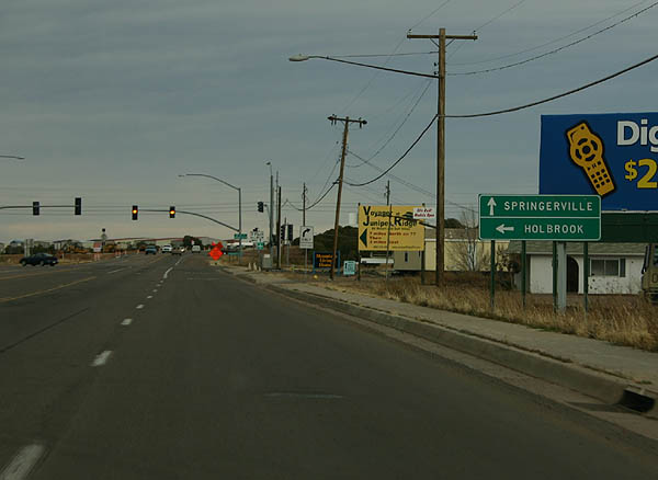
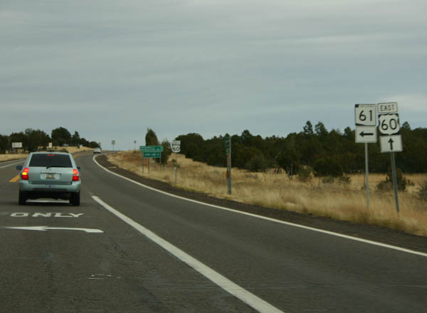
SR 77 parts ways with U.S. 60 east next for Holbrook while U.S. 60 continues east to Springerville.
11/11/06
Following the long overlap from Globe, SR 77 separates from U.S. 60 and travels north to U.S. 180 and Business Loop I-40 in Holbrook.
11/11/06
East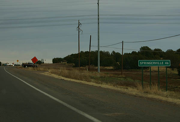
Just after Show Low Municipal Airport, the next road sign shows distance to Springerville, the last major town along US 60 in Arizona.
11/11/06
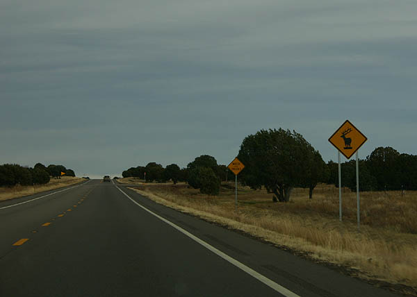
Elk crossing warnings are common in the White Mountains and northeastern Arizona. Of course, the Elk image looks something like a moose to some people.
11/11/06
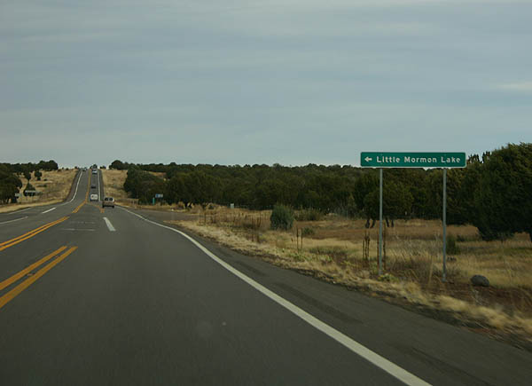
Turn left here for Little Mormon Lake. Little Mormon Lake is a small man-made lake, stocked with Bass and Catfish.
11/11/06
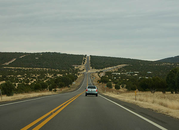
Looking east in the distance, the clear desert air shows good visibility of the upcoming US 60/SR 61 split.
11/11/06
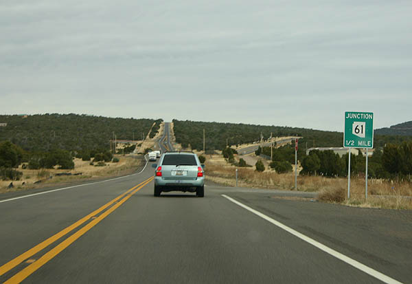
Advance signage for SR 61.
11/11/06
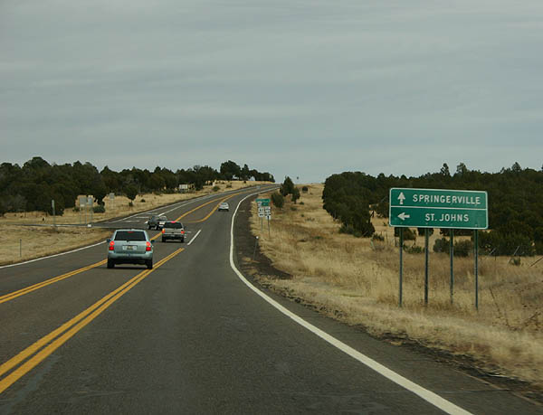
SR 61 travels north to St. Johns and US 191, while US 60 continues east to Springerville and US 191.
11/11/06
SR 61 departs here for St. Johns.
11/11/06
References:
- Barnes, Will C. Arizona Place Names. 1933 (reprinted 1988), pp. 111.
- ibid, p. 402.
Photo Credits:
- Kevin Trinkle: 11/11/06
Page Updated Tuesday February 27, 2007.