
U.S. 60

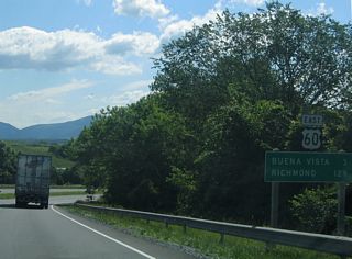
U.S. 60 crosses the state of Virginia east from west of Covington to Lexington, Richmond, Williamsburg and Hampton. The 304.19 mile long course concludes at the south end of the bridge spanning Rudee Inlet between Pacific Avenue and General Booth Boulevard (SR 149) in Virginia Beach.
U.S. 60 Virginia Guides
East
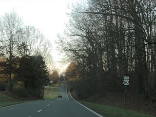
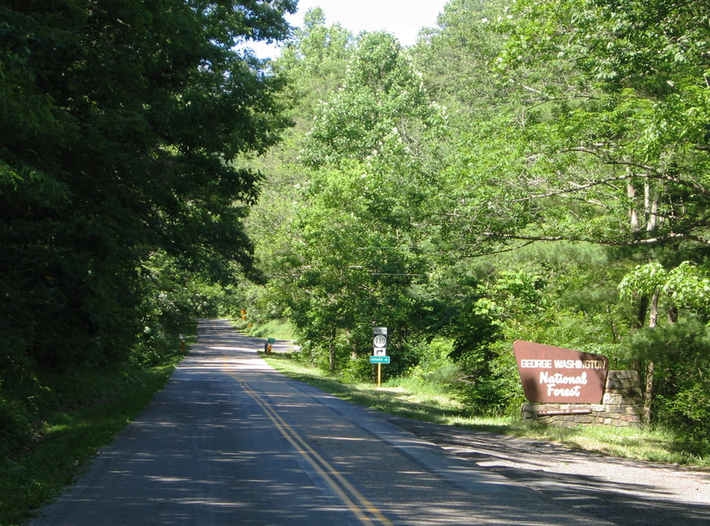
Western Virginia - 11 photos
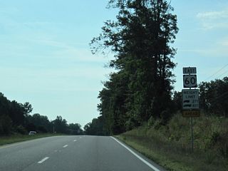
Cumberland to Midlothian - 61 photos
New Kent County - 11 photos
Hampton Roads - 34 photos
West
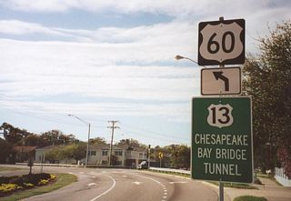
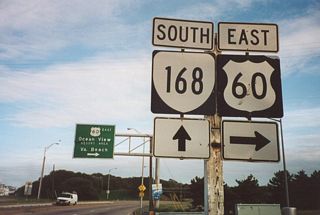
Within the Hampton Roads area, U.S. 60 follows a coastal route along Chesapeake Bay from Willoughby Spit and Ocean View in Norfolk and from Ocean Park and Fort Story in Virginia Beach. U.S. 60 lines Pacific Avenue south to the Virginia Beach Oceanfront.
U.S. 60 once followed Virginia Beach Boulevard (U.S. 58) east from Downtown Norfolk to the Virginia Beach Oceanfront. The east end of U.S. 60 was marked at the south side of the Rudee Inlet Bridge until the 1970s. Thanks in part to efforts from the Road Warrior at the Virginian-Pilot, an end shield was eventually posted.1
 scenes
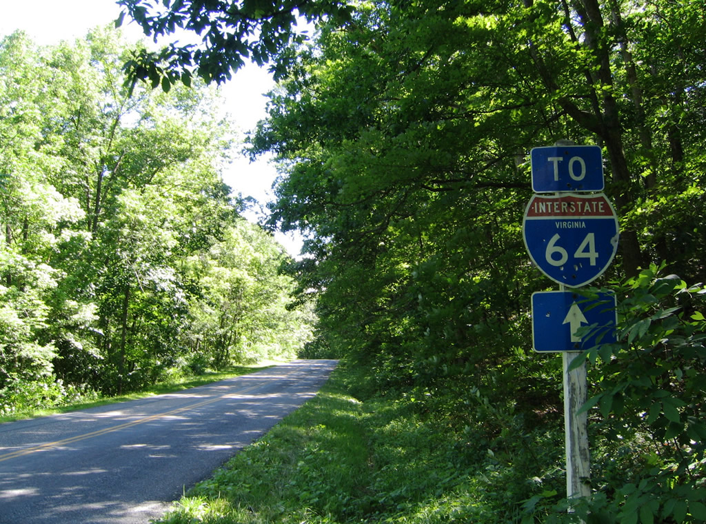
Interstate 64 trailblazer posted along Midland Trail (SR 850 / old U.S. 60) east between SR 780 (Brattons Road) north and SR 780 (Scenic Drive) south to I-64/U.S. 60 at Exit 43.
06/17/05
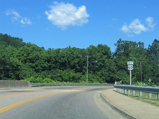
SR 850 (Midland Trail / old U.S. 60) parallels I-64/U.S. 60 as the old alignment of U.S. 60 between Exits 50 and 35. SR 780 begins at the freeway and travels north to California and Goshen, briefly overlapping with SR 850.
06/17/05
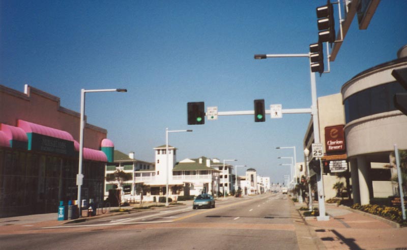
U.S. 60 begins at 5th Street and Pacific Avenue just north of the Rudee Inlet Bridge. The US route follows 5th Street east one block east to Atlantic Avenue north.
03/09/01
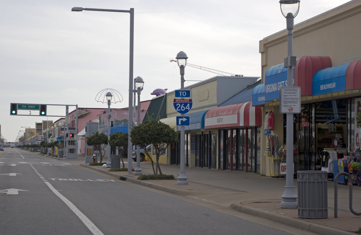
Atlantic Avenue southbound at 17th Street (U.S. 60) west to U.S. 58 Business and I-264 (via Birdneck Road north). U.S. 60 follows Pacific Avenue south from 44th Street to 17th Street and the east end of U.S. 58 Business. 17th Street carries the route one block east to Atlantic Avenue south. Atlantic continues the route to 5th Street and Pacific Avenue at the Rudee Inlet Bridge.
11/22/09
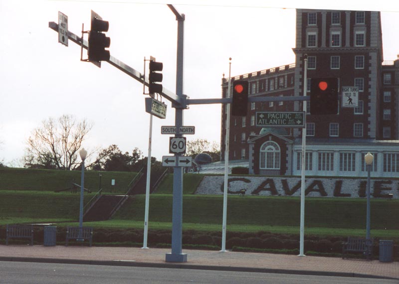
U.S. 60 transitions from Pacific to Atlantic Avenue northward from the Rudee Inlet Bridge. Atlantic Avenue leads the highway to Fort Story.
04/13/01
References:
- "Highway's significance lost on new generation." The Virginian-Pilot (Norfolk), December 31, 2003.
Photo Credits:
- Alex Nitzman: 03/09/01, 04/13/01, 06/17/05
- Will Weaver: 11/22/09
Connect with:
Page Updated Tuesday April 20, 2021.